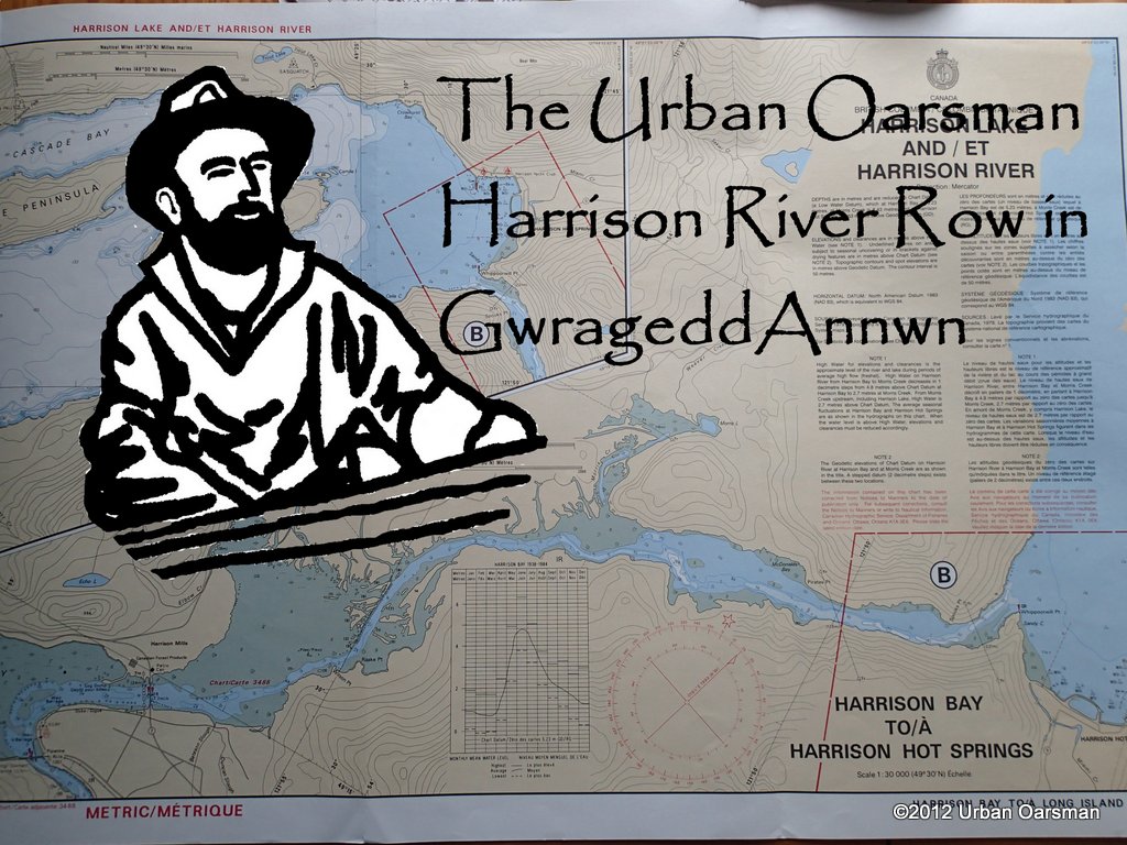
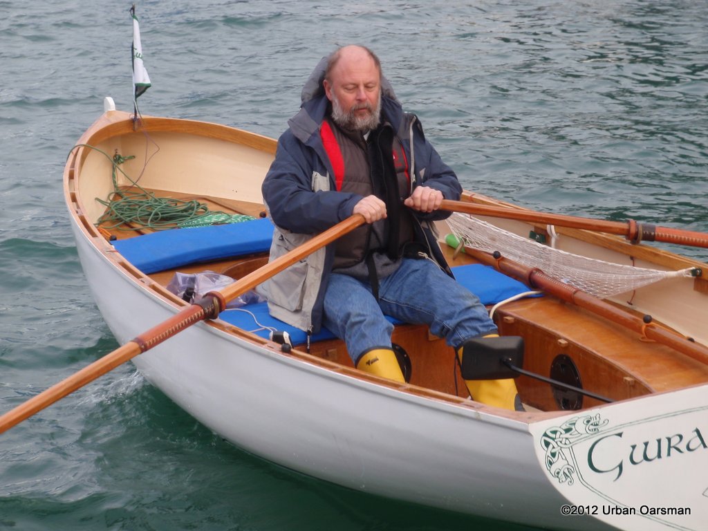
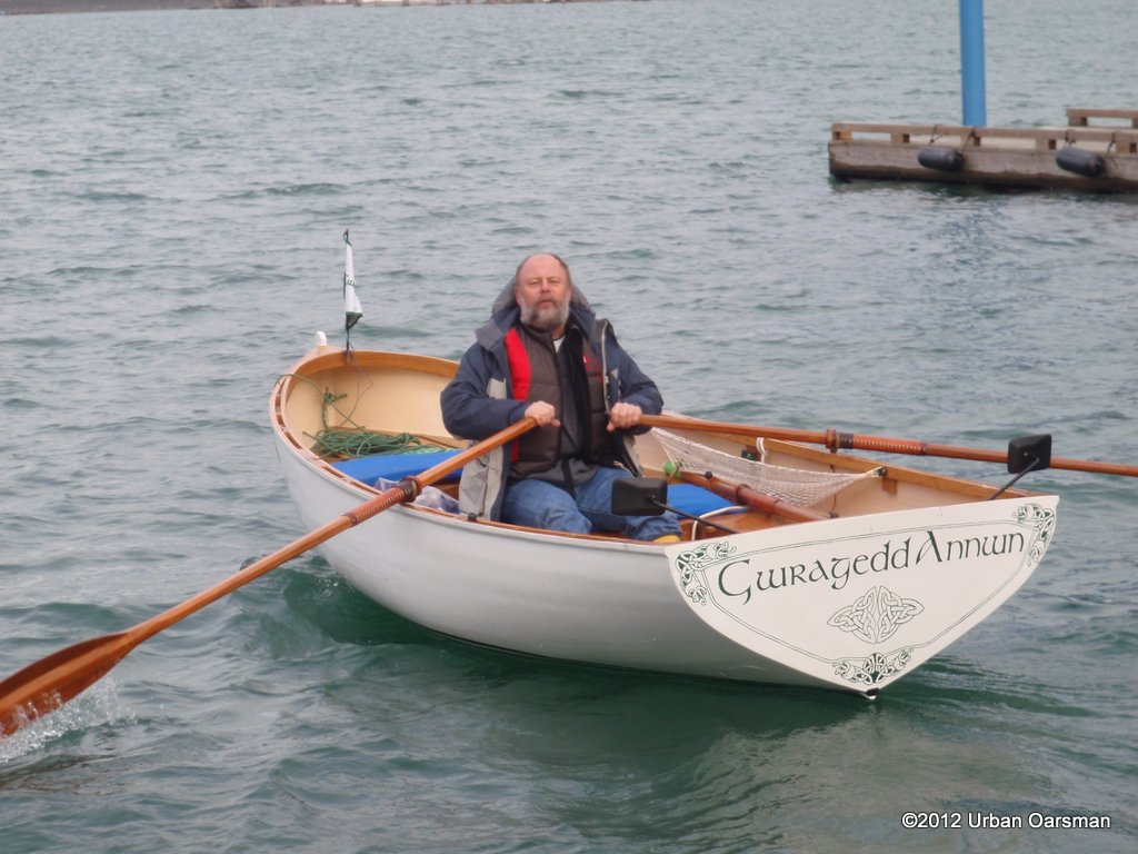
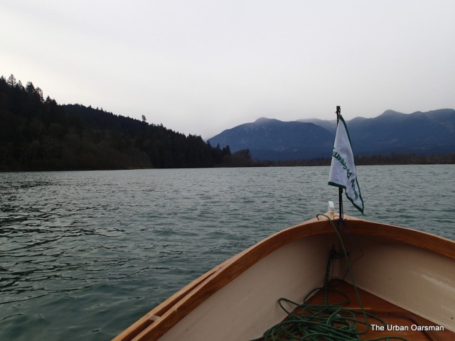
The Urban Oarsman rows Gwragedd Annwn from Harrison Lake, down Harrison River to Kilby Park
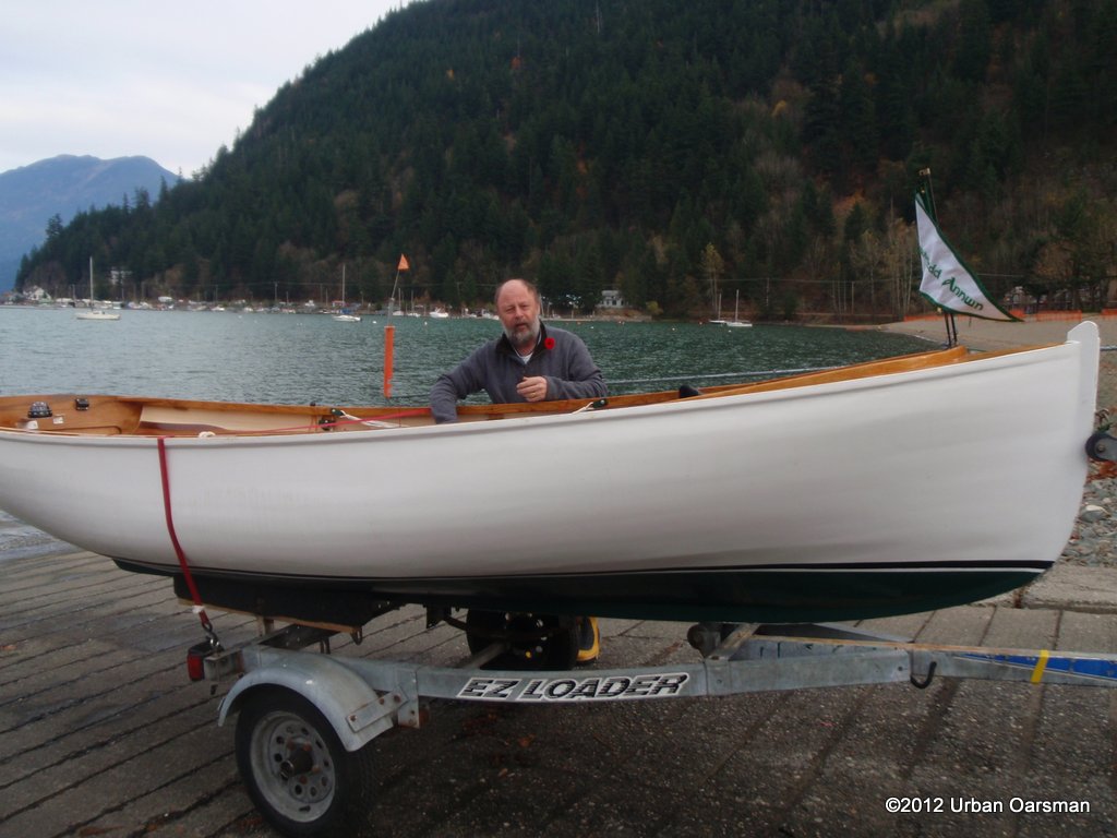
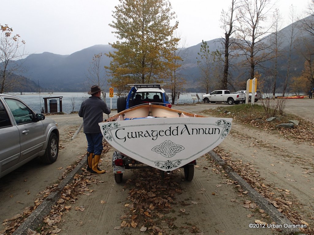
The shake-down row to test out “Gwragedd Annwn” for the trip down the Fraser from Hope to HSC.
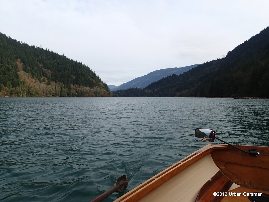
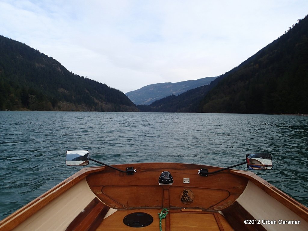
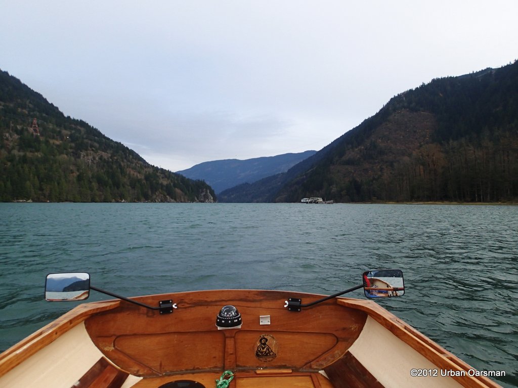
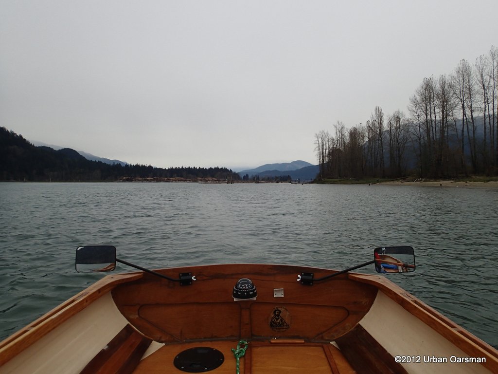
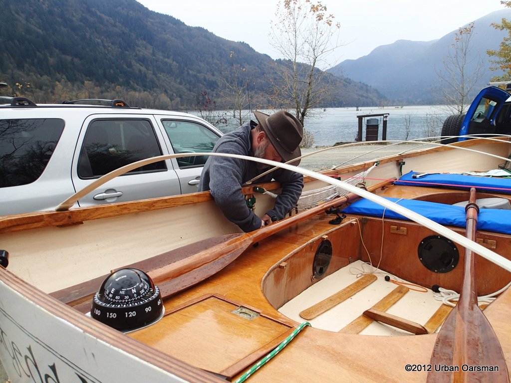
On go the forward view mirrors.
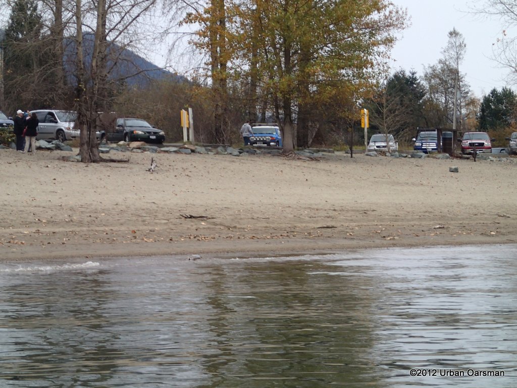
I put in at the Harrison boat launch. It is free during the winter. I believe that fees start in at the end of March. These are the times off the Fraser Valley Regional District web site:
Mar 29 – May 10:
Fri: noon – 8 pm
Sat & Sun: 6 am – 8 pm
May 11 – Sep 2:
Daily: 6 am – 8 pm
Sep 3 – Oct 15:
Fri: noon – 8 pm
Sat & Sun: 6 am – 8 pm
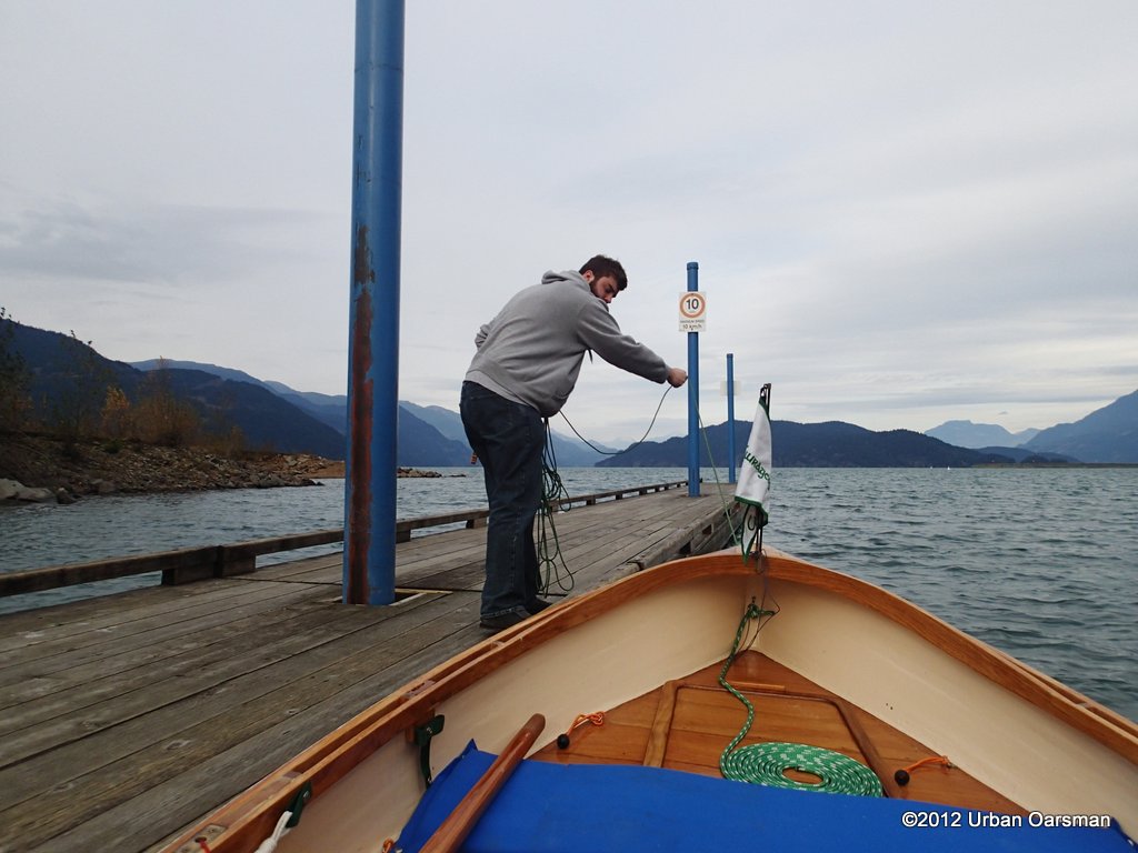
Taking Gwragedd Annwn down the dock, off of the trailer. Thanks to my dock help, Paul.
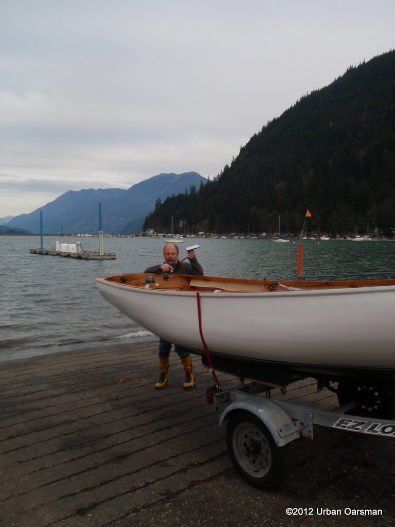
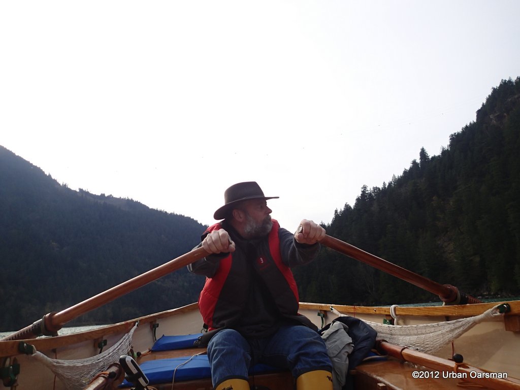
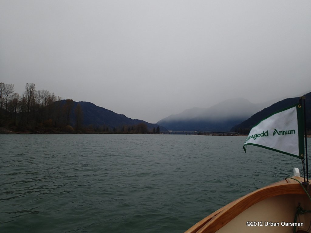
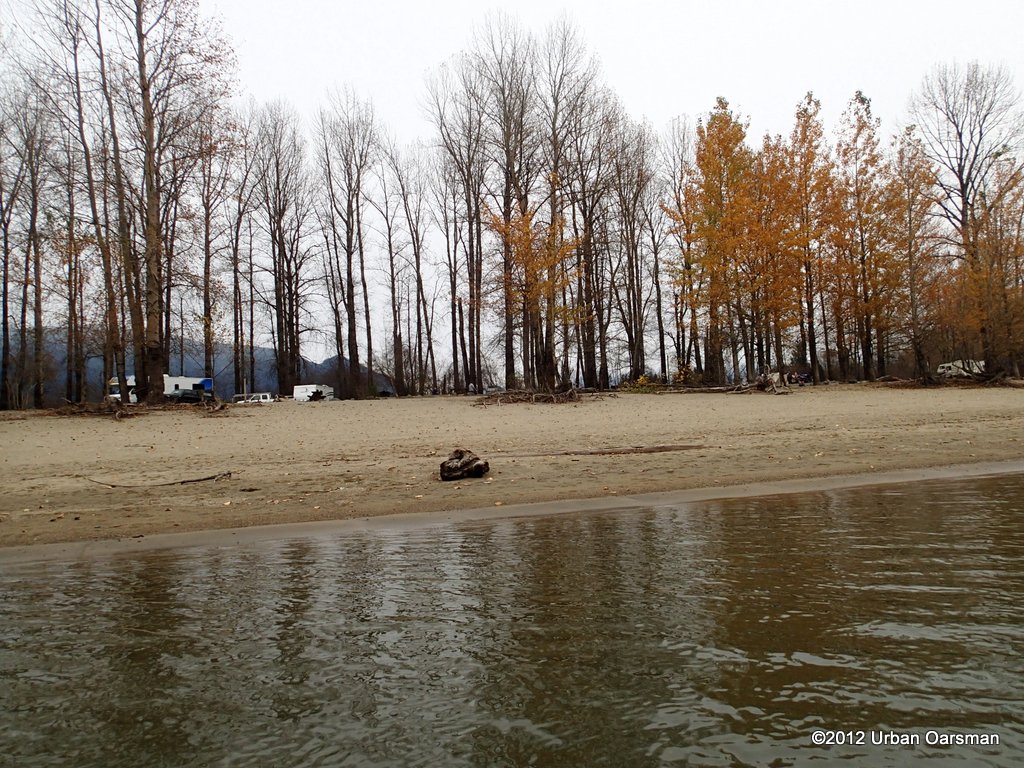
The row is reasonably easy, but you have to be cautious if there is a down lake (from the North) wind. This would make the launch choppy, and you have to row into the wind and waves until you reach Whippoorwill Point and turn to row down the Harrison. The Harrison runs quite swiftly in spots and you must be careful and avoid the Dolphins and some other obstacles while running the river.
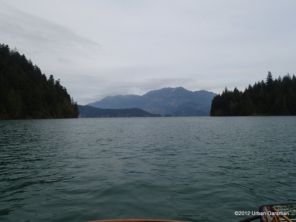
Getting ready to row away, up lake and then down the Harrison River.
Rowing away from the Boat launch into the Down Lake wind and swell.
OOPs! Forgot my hat. My head is bare. I ask Paul to toss it to me.
My head begins to get cold so when I clear the dock, I put my hat on.
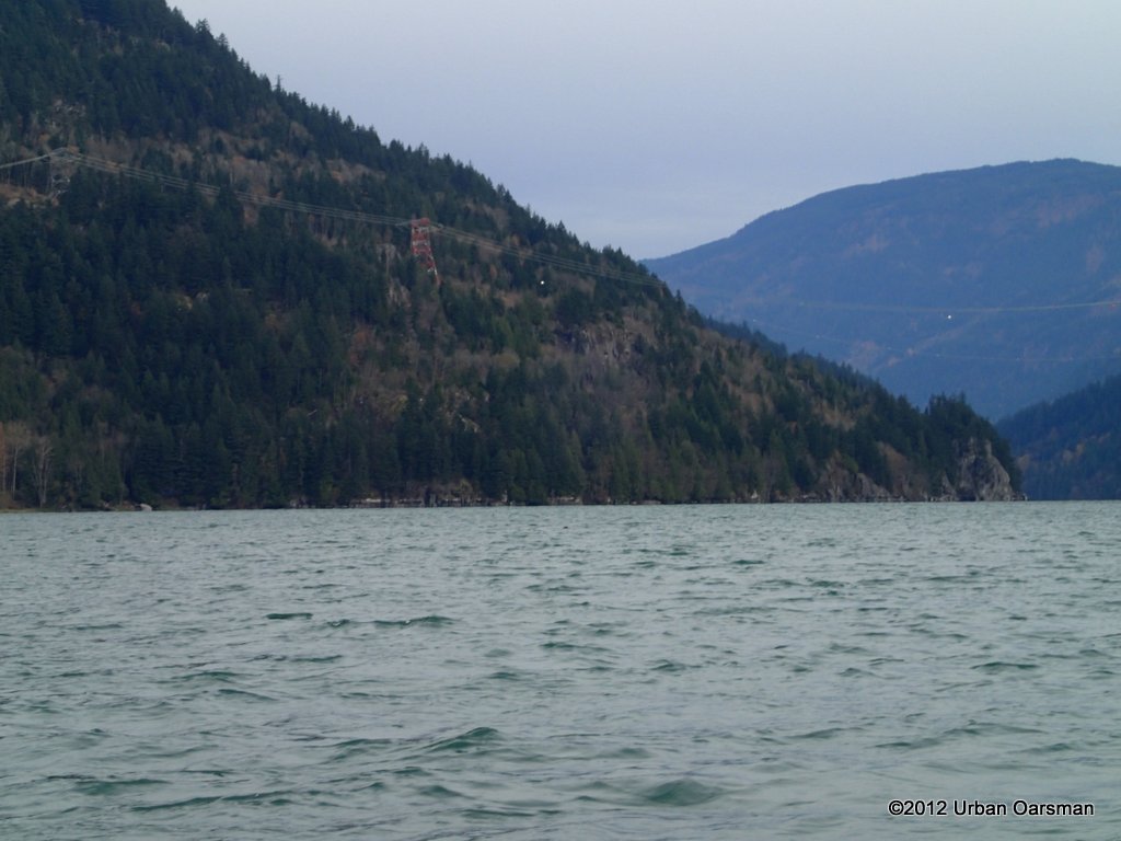
Once you pass Whippoorwill Point, the Harrison River current begins to help
you and the mountains begin to shield you from the wind..
Rowing down the Harrison south of Whippoorwill Point with a warm head.
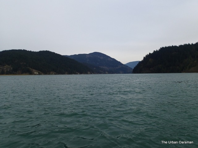
Looking back up towards Harrison Lake. Whippoorwill Point to the East, Spooks Point to the West.
A little further down stream. Harrison Lake has disappeared behind the turn in the river.
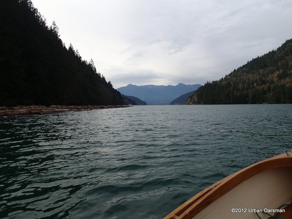
The river ahead. Pirates Point is to the right. Log booms are to Port.
The river widens. I stay on the East side. There were more signs of logging than when I came down here in April of 2011 in Snowdrop.
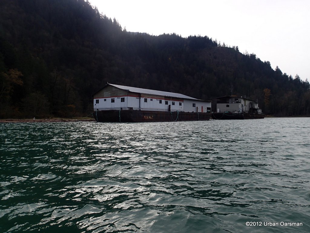
A logging (?) camp on a barge.
There are log booms behind the barge.
I did not see any logs in the April 2011 Trip.
If you go during the salmon run, I believe that you will see many more eagles than I did.
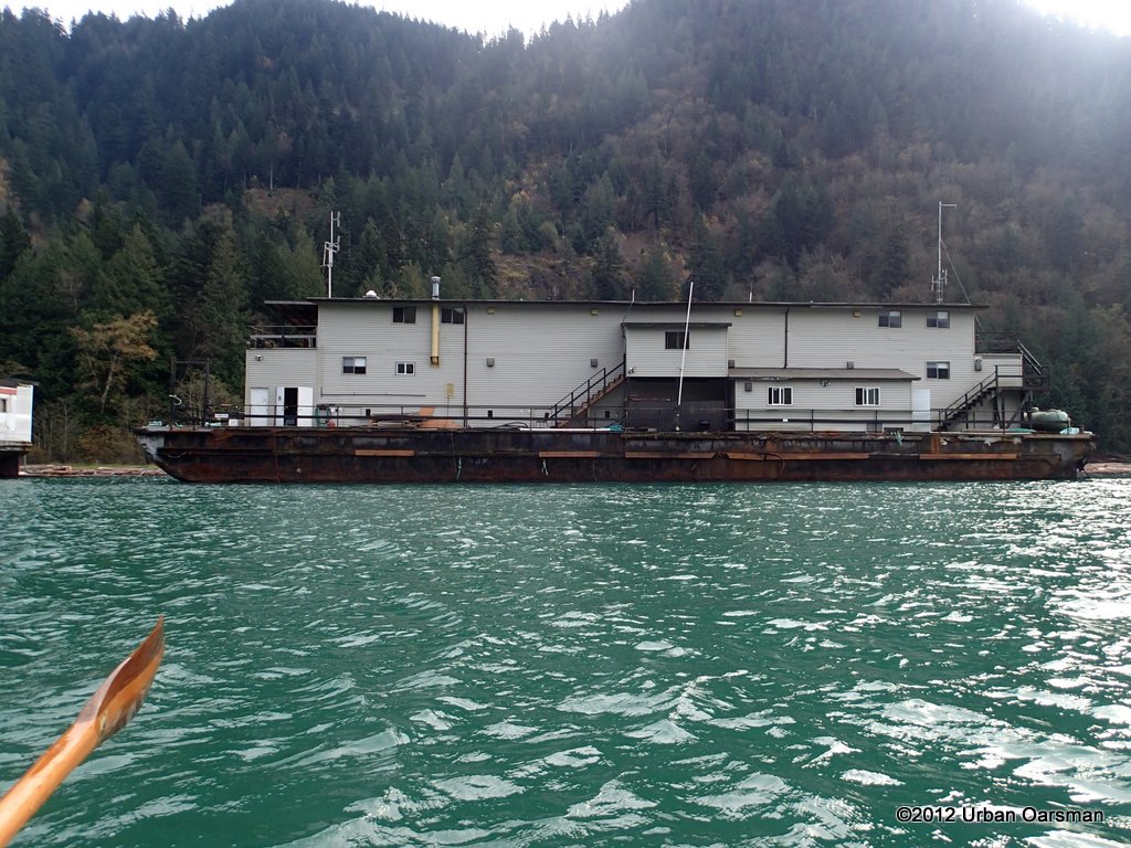
I leave the logging camp barge astern.
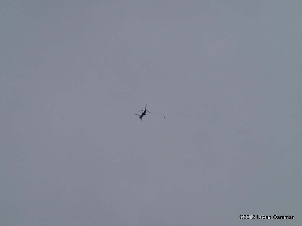
Helicopter logger flies overhead. I only saw it once.
The power lines cross the river. I came down at the very end of the Salmon run.
 McDonalds Bay.
 This is the widest section of the river.
 Further down the river.
 The East shore where the river narrows again, across from where Morris Creek enters.
 Another shot up river. The logging barge is barely visible.
 Bluff on the North-West shore.
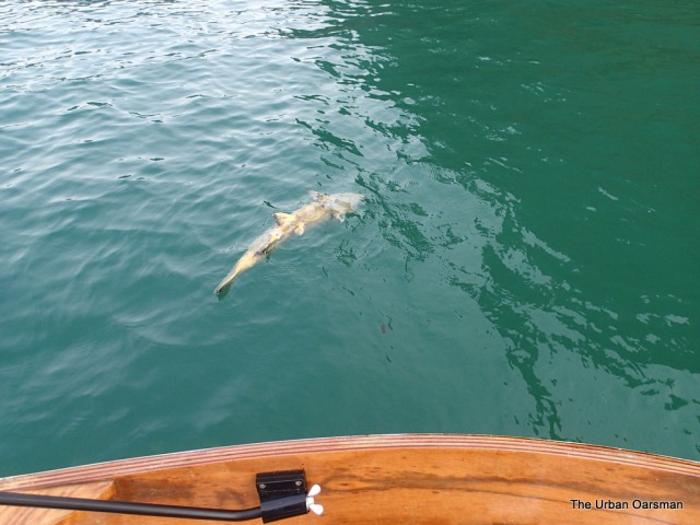 Another spent salmon floating downstream.
 I leave the salmon astern.
 Further downstream.
The view ahead. The Morris Creek delta/marsh area is to the right
 The shore of the Morris Creek delta/marsh area.
 It does look like snow in the mountains ahead.
 Looking up river again.
 A fishing boat goes upstream.
 Looking at the delta/marsh area between Morris Creek and the Chehalis River.
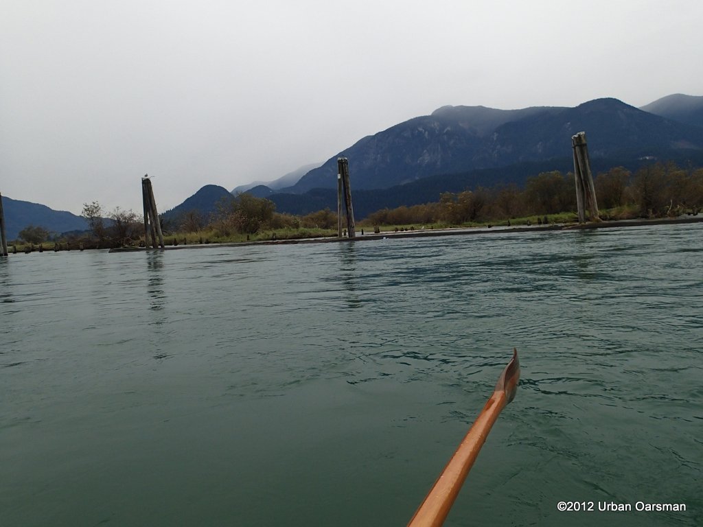
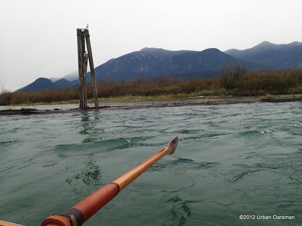
The Dolphins:
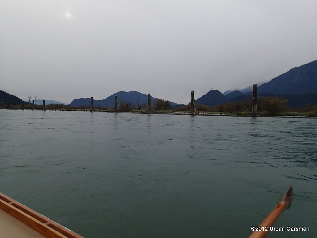
This is the fastest part of the river. The current exceeds 12km/hr. I do not know if Gwragedd Annwn, with her high, Ocean-going freeboard could be washed under one of the logs between the pilings. There is a lot of water from the Harrison going past the Dolphins into the Chehalis River Delta. I do not want to do a buoyancy/freeboard test and find out the hard way… or Any way. I keep well clear of the Dolphins. A canoe or kayak would definitely be in trouble. That much water flowing at that much speed would has the power to suck a small boat under the logs. If a person was in the water, even with a lifejacket on and hit the logs he or she would be sucked under and if they did not get snagged on something, probably (hopefully) pop out on the other side. I am not going to take any chances with current that strong. When you row by yourself you must always err on the side of caution.
Snow on the mountains behind.
The Harrison is flowing underneath the logs between the Dolphins. I am keeping a respectful Distance. Behind (West) of the Dolphins is the wast expanse of the Chehalis River Delta. If you had high river levels, say in May or June, it looks like a interesting area to explore as the Harrison takes Gwragedd Annwn swiftly by.
Here is a short video clip of me racing by the dolphins. In the middle of the clip, I put the camera down to row and keep my distance from the dolphins and the logs between them.
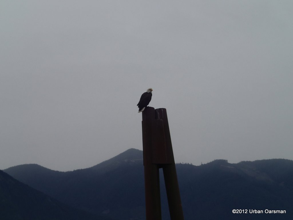
Eagles like the dolphins.
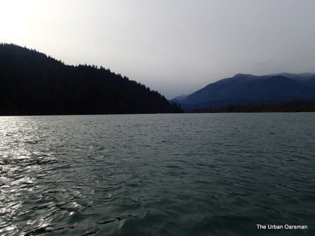
The Lougheed Highway Bridge at Harrison Mills. The snow and rain are closing in on me.
Looking North-East towards the Lougheed Highway Bridge at Harrison Mills. Kilby Park is to the East. The three and one half hour row is almost over.
Around the bend is Kilby Park boat launch. In the far background is the Railway Bridge.
Almost there. A few more strokes at the oars and I will be on the beach.
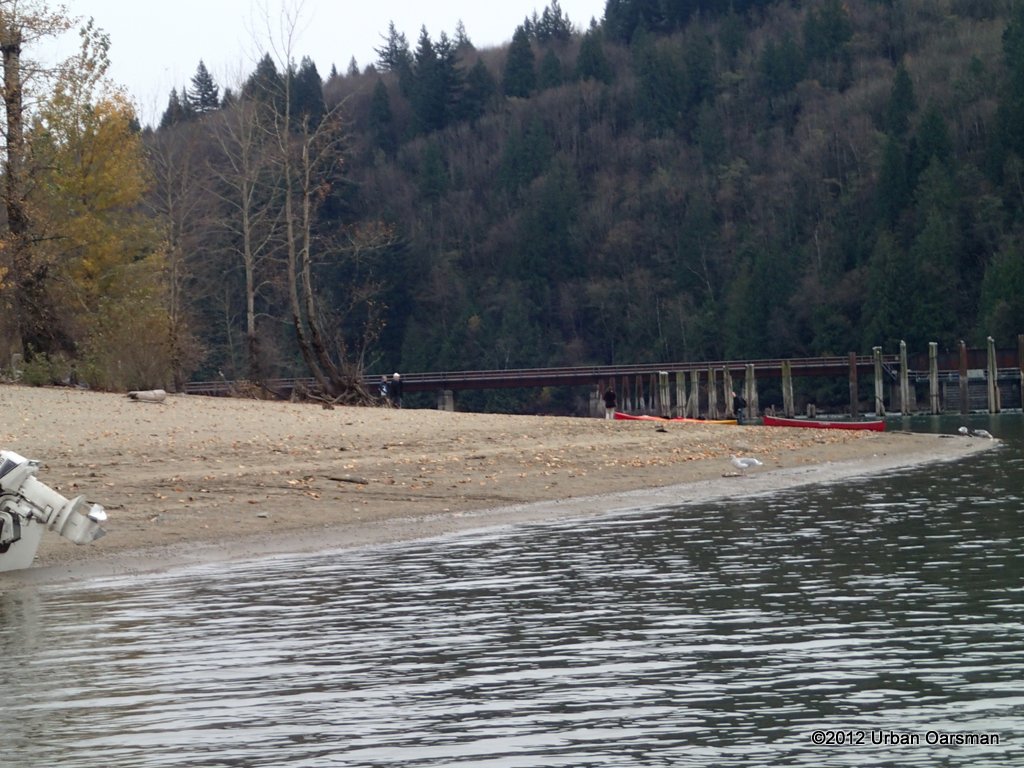
The railway bridge (3.9 meters clearance closed) and the boat launch.
Paul goes to get the truck and trailer to recover Gwragedd Annwn.
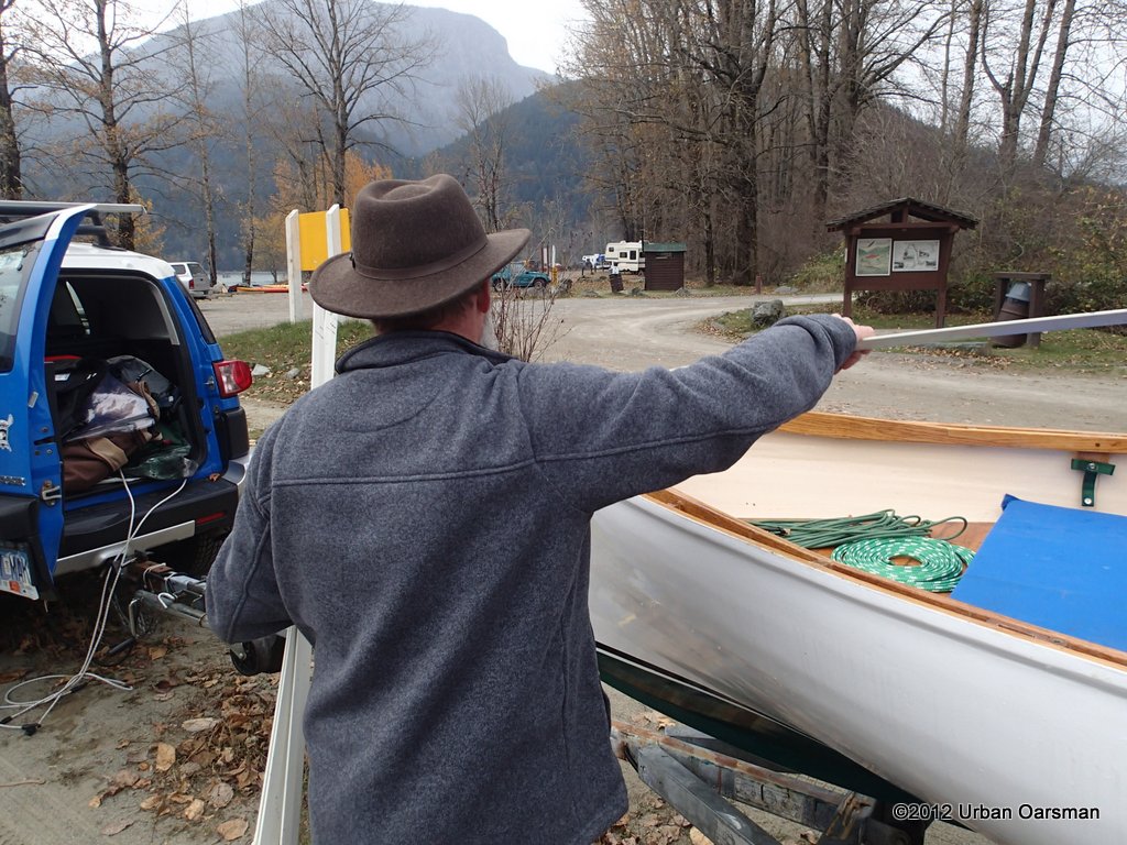
Packing up Gwragedd Annwn for the drive home.
Putting on her travel cover.

The frames for her cover go in.
Locking down the oars for the trip home.
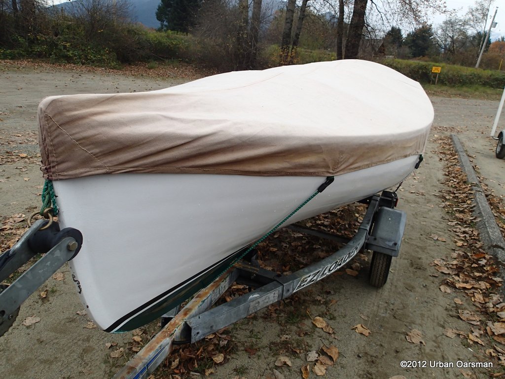
Cover on and strapped down.
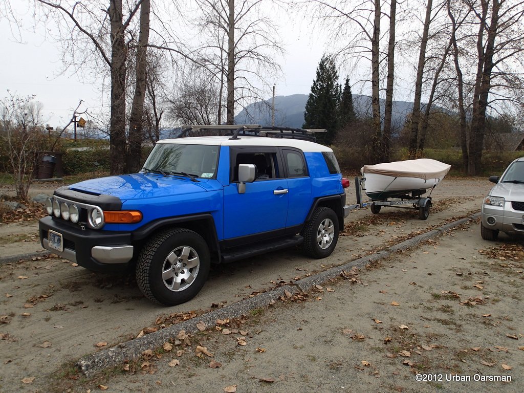
Ready to go home. As we leave, the mixed rain and snow begin. It rains all the way back to North Vancouver.
Thanks to my son Paul, for driving up with me and bringing the FJ and the trailer to Kilby Park to pick me up. A funny story… As Paul was having a nap in the FJ while waiting for me to arrive at Kilby, a RCMP Officer tapped on the FJ window to as if he was OK. He said that he was OK and waiting for his crazy dad to row down from Harrison. The officer gives him a funny look, so, Paul shows him the photos he had taken of me leaving the dock at Harrison Lake.
The officer, with a befuddled look on his face, said ” Oh, OK, Have a nice day” and walks back to his cruiser shaking his head.