 |
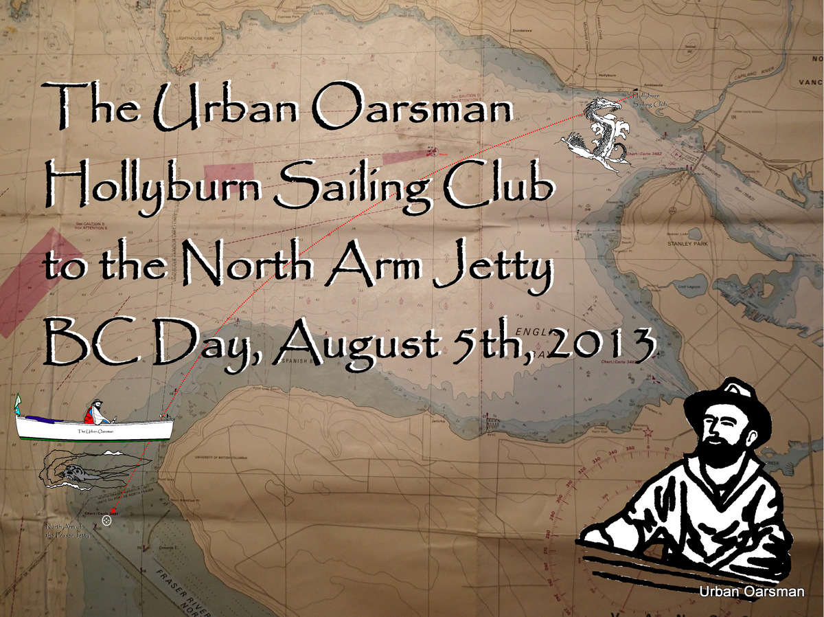
The rowing plan is to row with the ebbing tide out of English Bay, row along Point Grey to the North Arm Jetty, and then row with the flooding tide back to Hollyburn Sailing Club.The tides at Point Atkinson are:
Low High: 4:23am, 4.0 meters or 13.1 feet
Low Low: 11:35am, 1.1 meters or 3.6 feet
High High: 6:52pm, 4.3 meters or 14.1 feet. |
I estimate that it will take 3 to 3 1/2 hours to row to the North Arm Jetty so I must be on the water by 8:00am. I have to be at the North Arm at the change in the tide, around 11:30am to begin the row home.
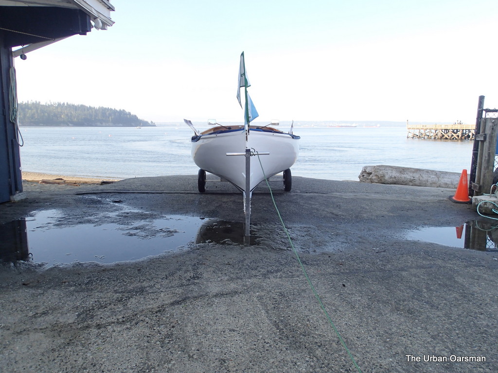 |
| 7:56am, top of the Hollyburn Sailing Club ramp, ready to launch. |
I am all packed, ready to go. There is a slight Easterly threatening.
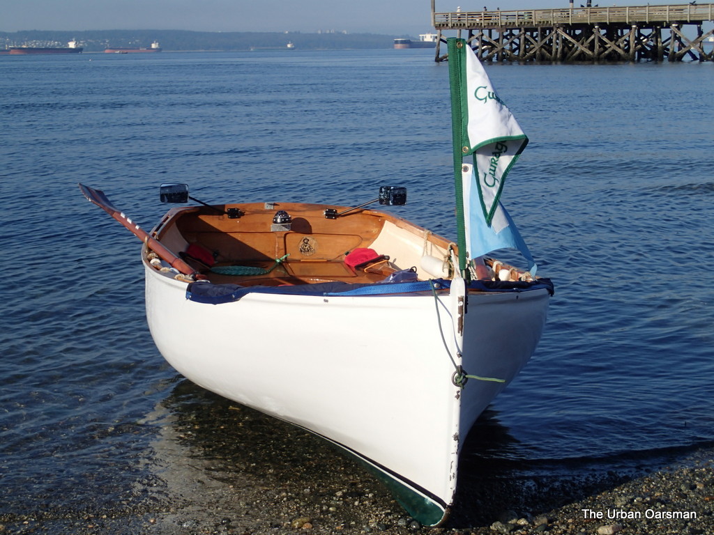 |
| Gwragedd Annwn awaits on the beach while I put her dolly away. |
I shove off the beach and begin to row for the “Maelstrom”.
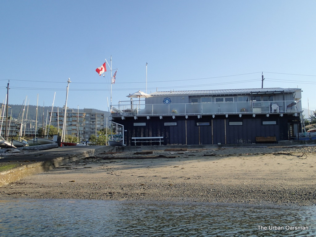 |
| The flag shows an Easterly drift. |
I row South towards the ebbing current. The water is pretty flat.
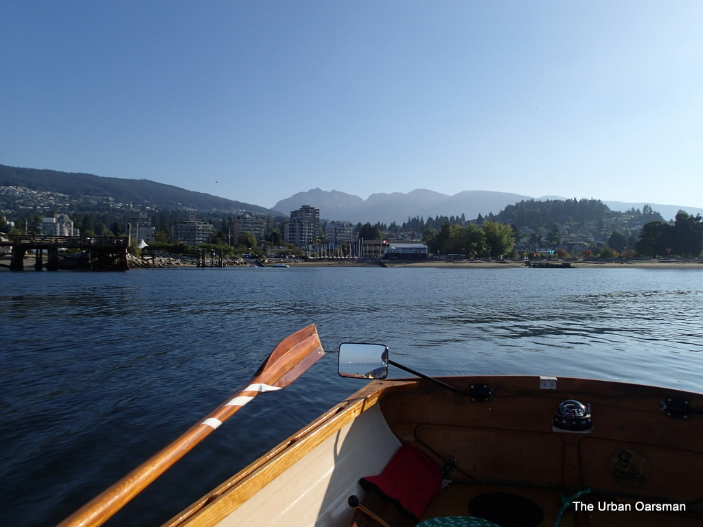 |
| Leaving HSC behind. That dot in the upper left is a helicopter |
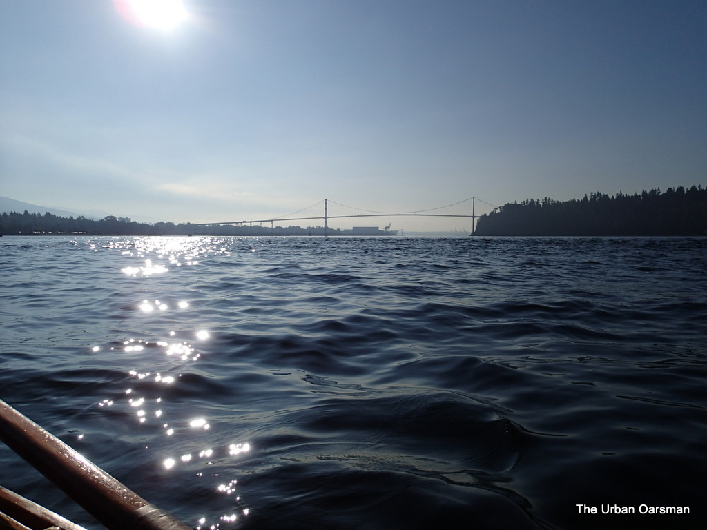 |
| Lions Gate Bridge, First Narrows. The rough water is where the ebbing tide is flowing. The “Maelstrom” that will take me out of English Bay towards Point Atkinson and Lighthouse Park. |
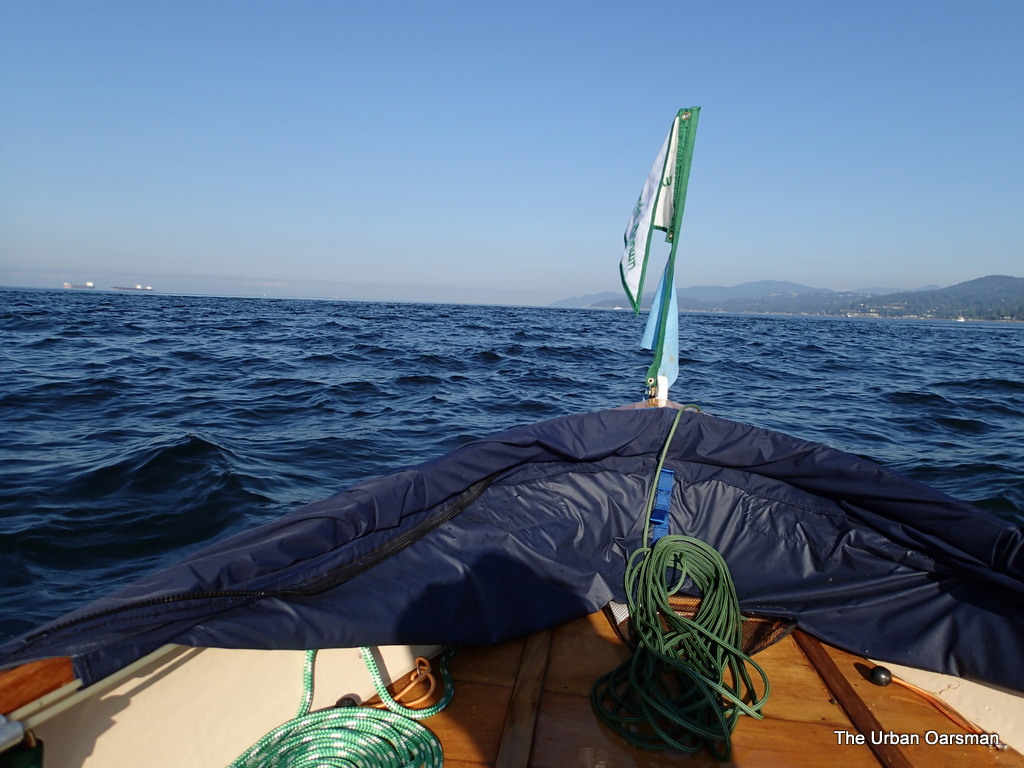 |
| Gwragedd Annnwn in the Maelstrom, looking West. |
The Maelstrolm is all the agitated water in the photo. The ebb tide current goes all the way out to Point Atkinson / Lighthouse Park.
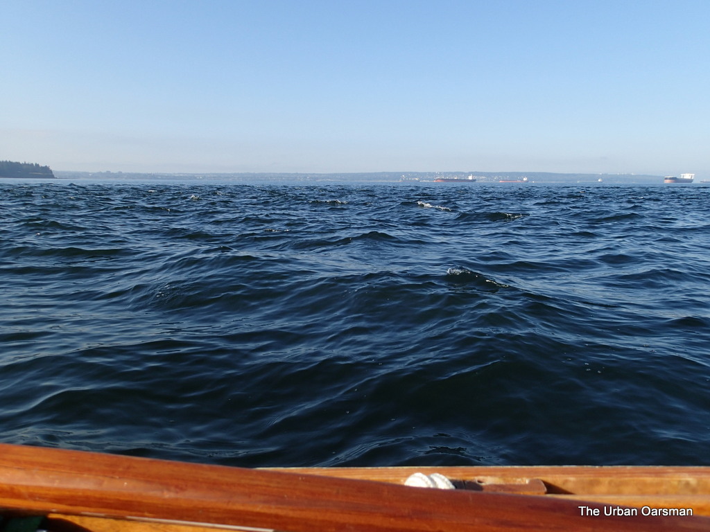 |
| Rowing the Maelstrom West. |
Looking South, across English Bay towards Kits, Jericho and Spanish Bank beaches.
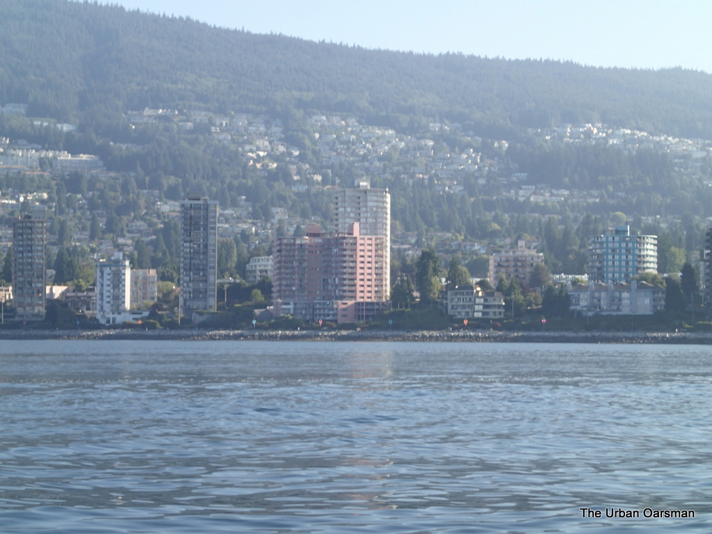 |
| The famous “Pink Building”, Villa Maris, 2222 Bellevue Avenue. |
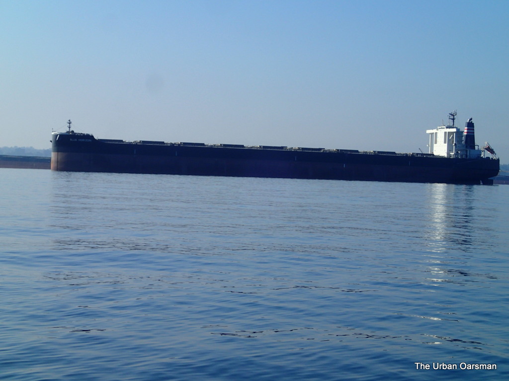 |
| Deep Sea Freighter Blue Horizon |
Blue Horizon has one of the bluntest bows I have ever seen, No Bulbousness here.
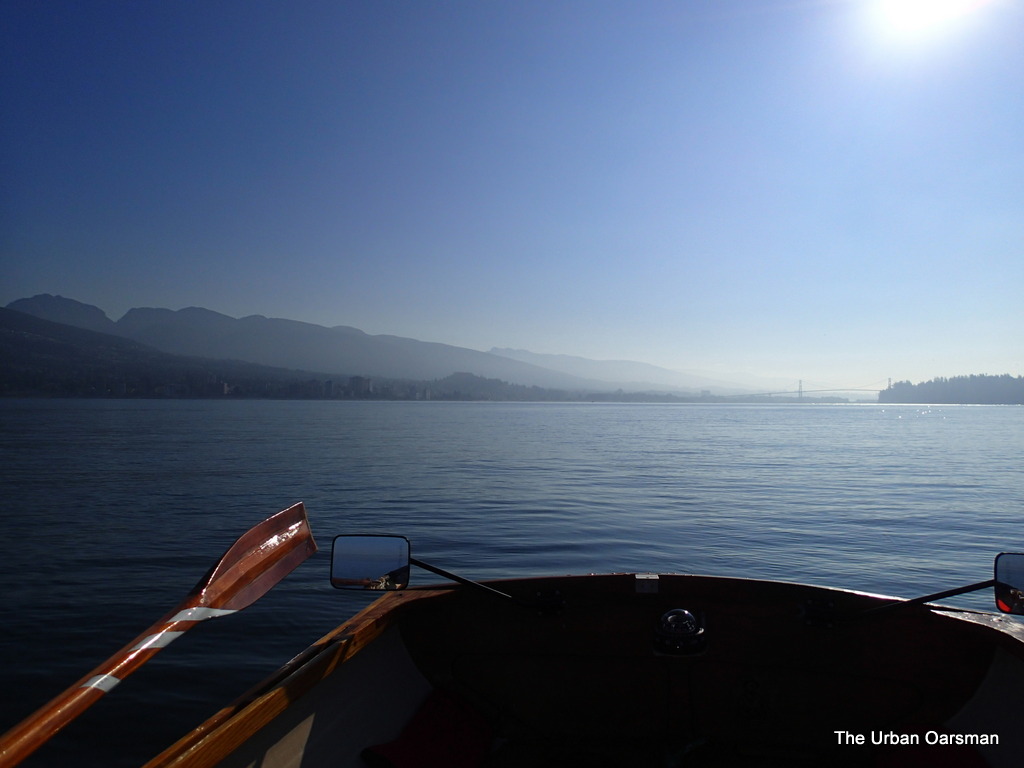 |
| Looking East towards Lions Gate and First Narrows. |
I have rowed south out of the main body of the current. See how flat the water is towards the bridge.
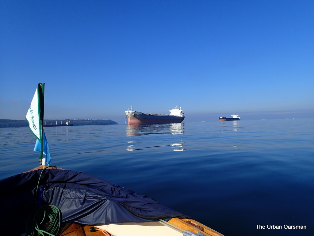 |
| Out of the Maelstrom, heading for Point Grey. |
There is almost no wind. English Bay is almost glossy. A good day to row.
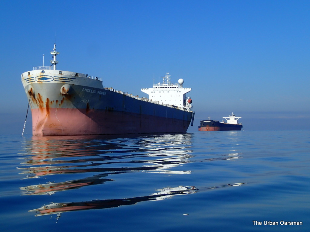 |
| Angelic Power leads the line of Freighters anchored at anchorages 12, 14 & 16. |
The deep sea freighters Angelic Power, Aquamarine and Global Partnership anchored in English Bay.
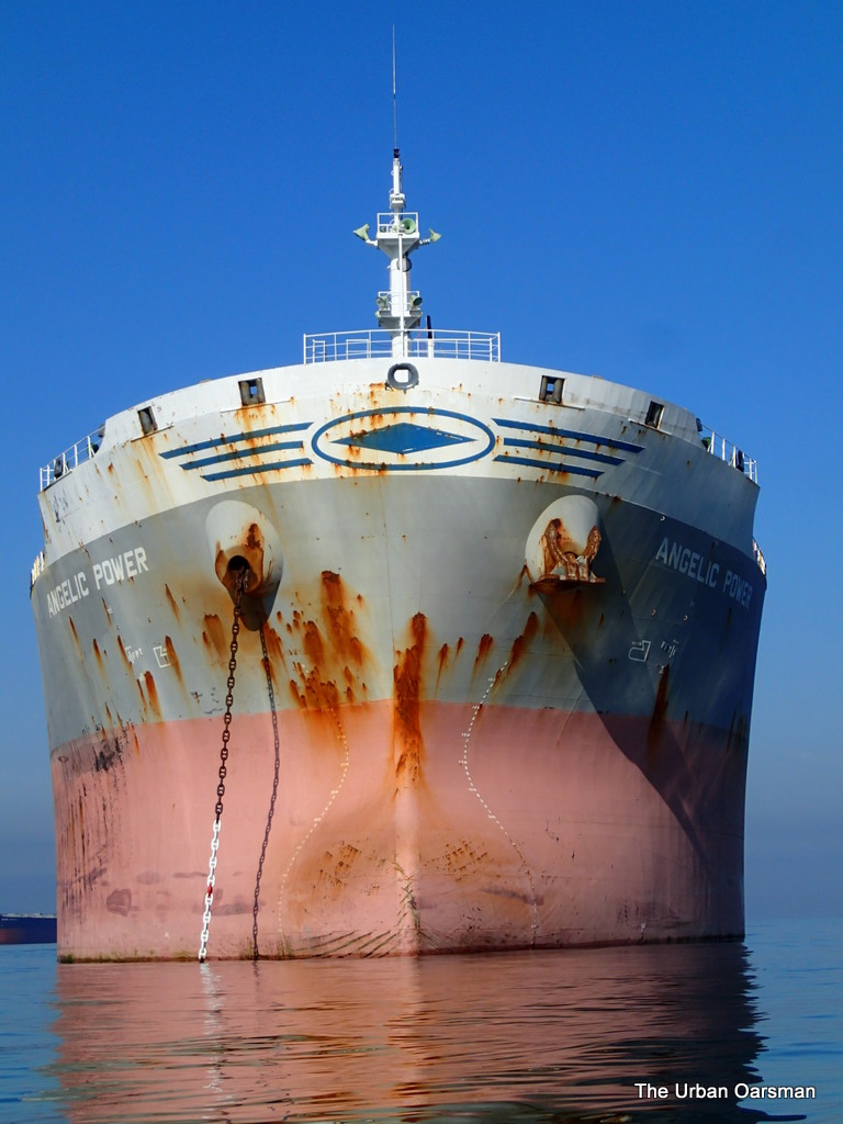 |
| Bow of Angelic Power. Note the painted figurehead. |
Not a lot of current flowing here. All freighters are massive.
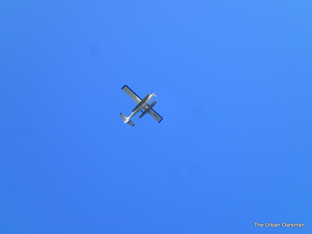 |
| Floatplane heading from Victoria? |
There is always a lot of floatplane traffic over English Bay.
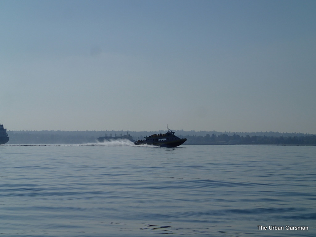 |
| Prince of Whales tour boat. |
There must be whales (or something for the tourists to see) to the west of us.
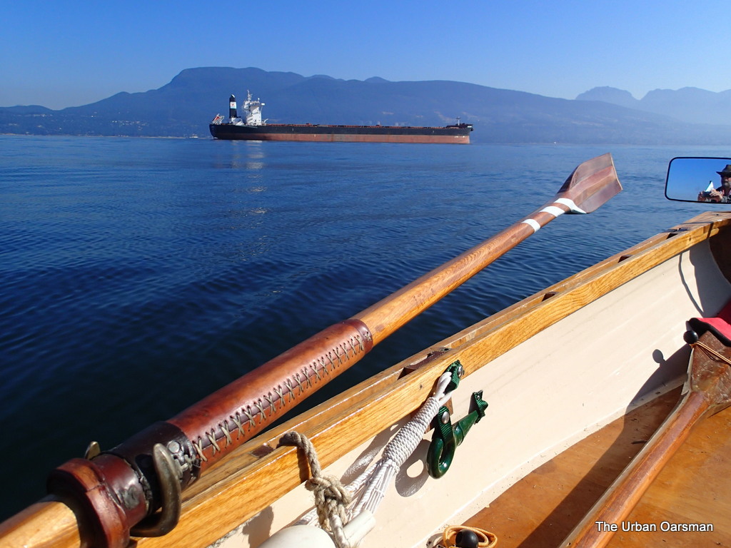 |
| Gwragedd Annwn leaves the Aquamarine in her wake. |
I continue rowing for Point Grey.
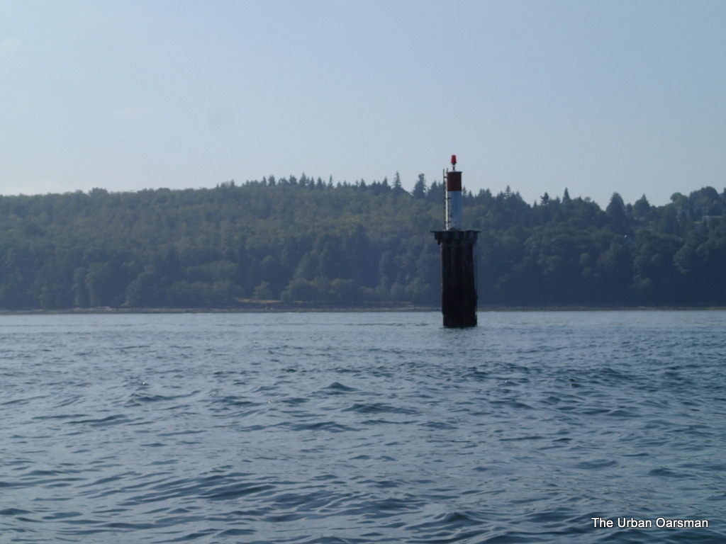 |
| Marker FI(2) R at Spanish Banks. |
I row past the marker at the edge of Spanish Banks. It is shallow (drying) to the South and East of this marker.
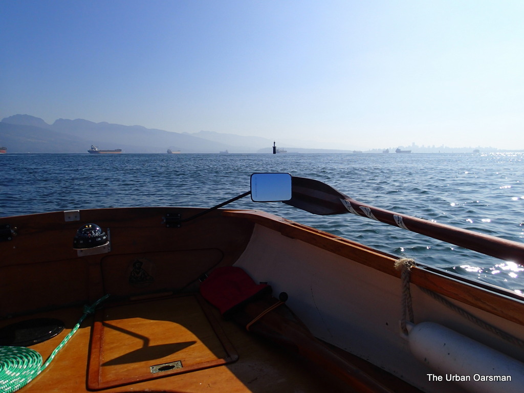 |
| Leaving Spanish Banks behind. |
I row on along the drop-off towards the North Arm.
 |
| Cobbled-together picture looking West towards Vancouver Island. |
When you are on the edge of English Bay, there is a lot of open ocean between you and Vancouver Island. In this photo, Point Grey is on the left, Point Atkinson is on the right. About 35 miles to Vancouver Island.
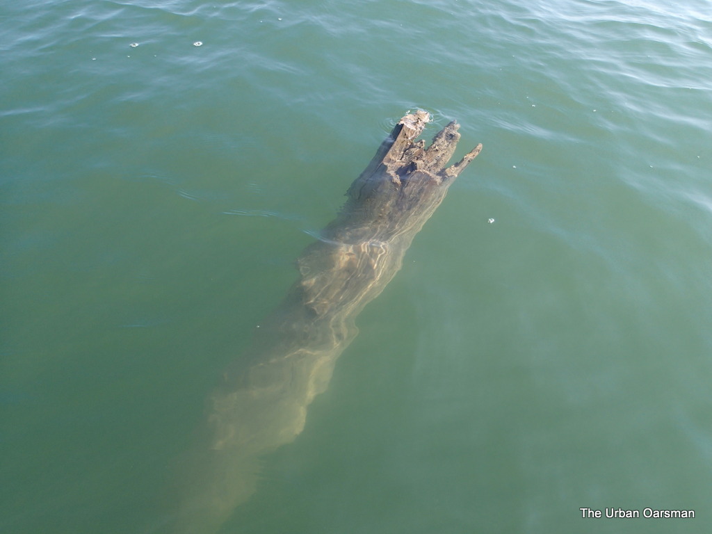 |
| A deadhead lurks for the unwary Oarsman. |
This is a smaller deadhead. Still, if a boat hit this at speed, it would cause a lot of damage. Good thing that I saw it in time to avoid it.
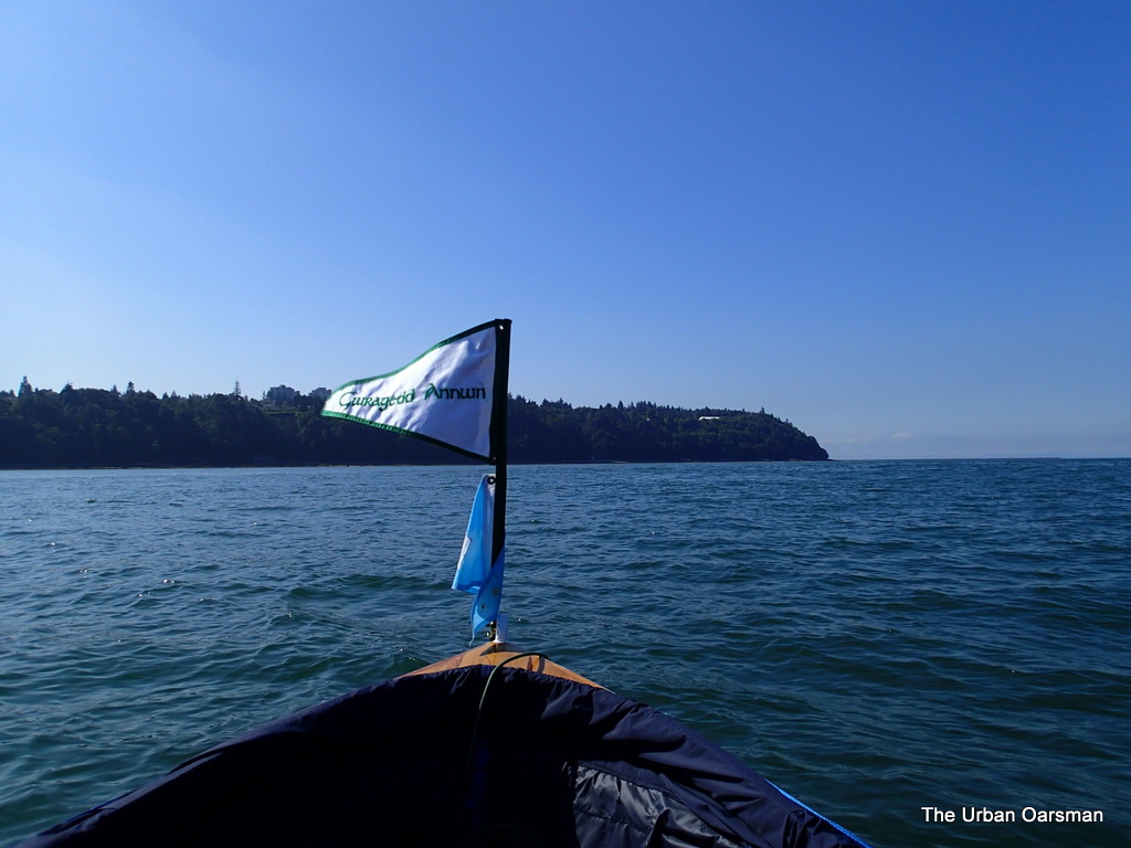 |
| Point Grey. |
Getting closer to point Grey. Amost no current here.
 |
| Stand-Up Paddleboarder heading back |
In calm water, you can make some very long voyages. The most likely spot that this SUP came from is Jericho Sailing Centre, about 3 1/2 miles away from here.
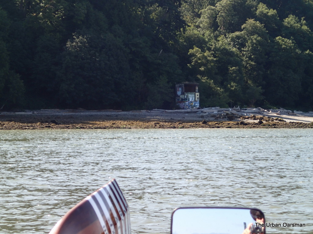 |
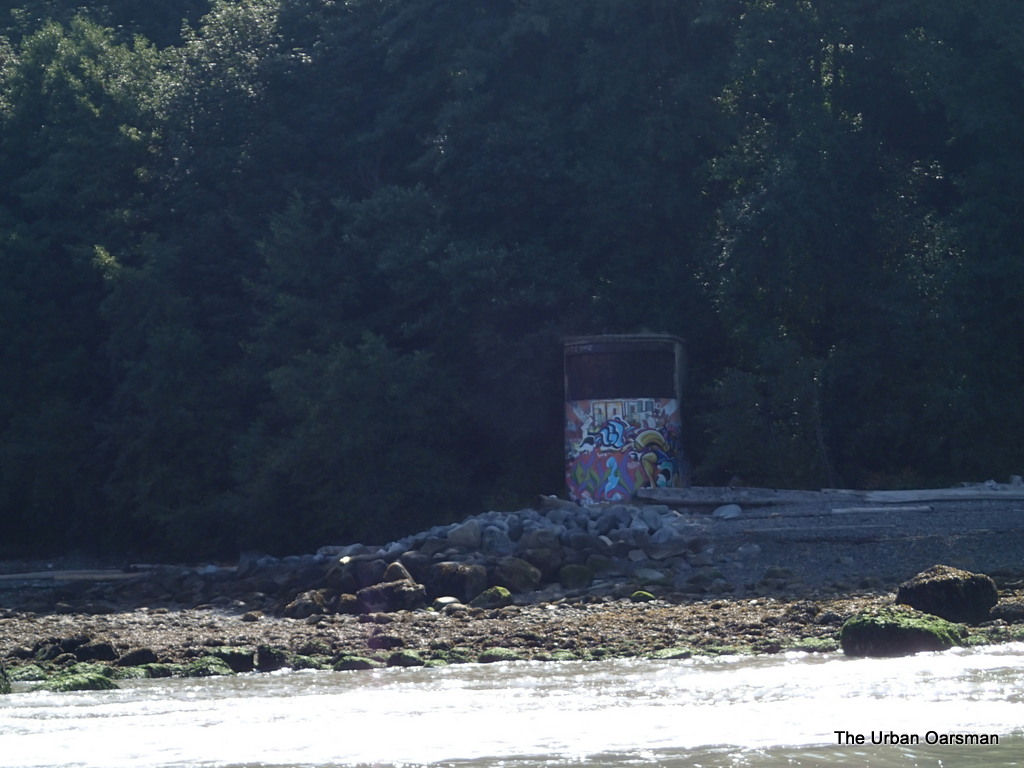
| The North Point Grey Gun Emplacement. |
Unlike the Gun emplacements at Lighthouse Park and Stanley Park, this one and the South Point Grey Gun Emplacement are covered with graffiti.
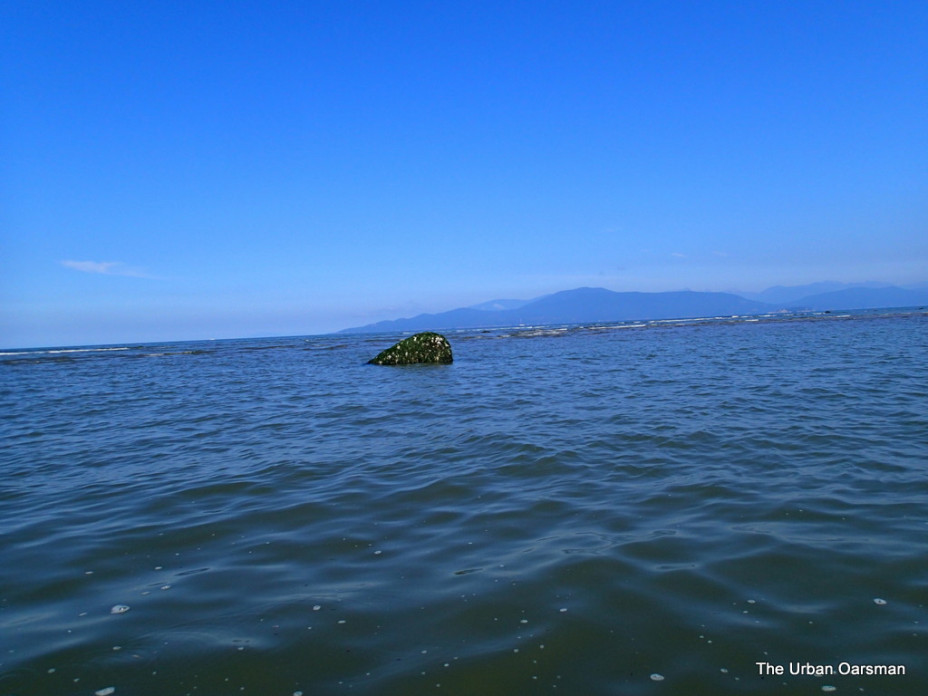 |
| The water near the shore is shallow and rocky |
I am rowing Grwagedd Annwn backwards for better visibility, as the depthsounder oars tell me that the water is 18″ or less deep here. I think that I see a channel back out to the deeper water ahead.
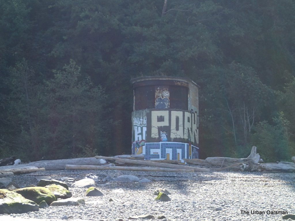 |
| North Point Grey Gun Emplacement. |
Looks like the ones at Lighthouse Park and Stanley Park.
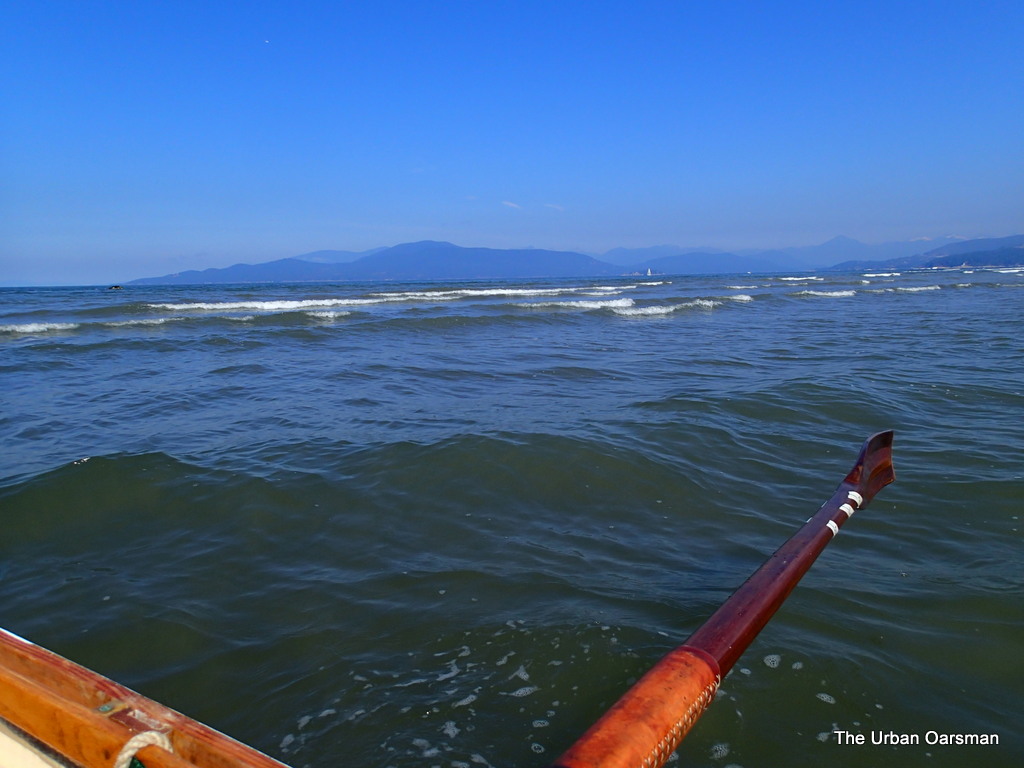 |
| Gwragedd Annnwn works her way backwards away from the beach past the shallows to deeper water. |
I am rowing out the gap between two sandbars. I wonder if a rip tide flows here when the tide is higher.
 |
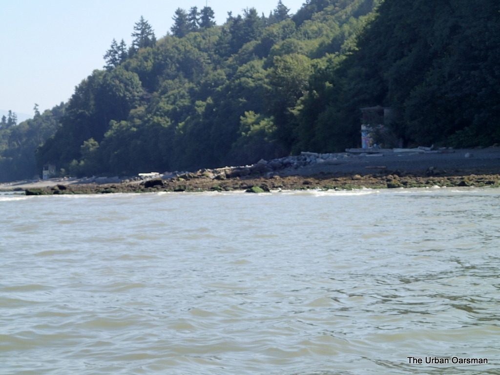
| South Gun Emplacement at Point Grey. |
The South Gun Emplacement has different graffiti than the North one.
 |
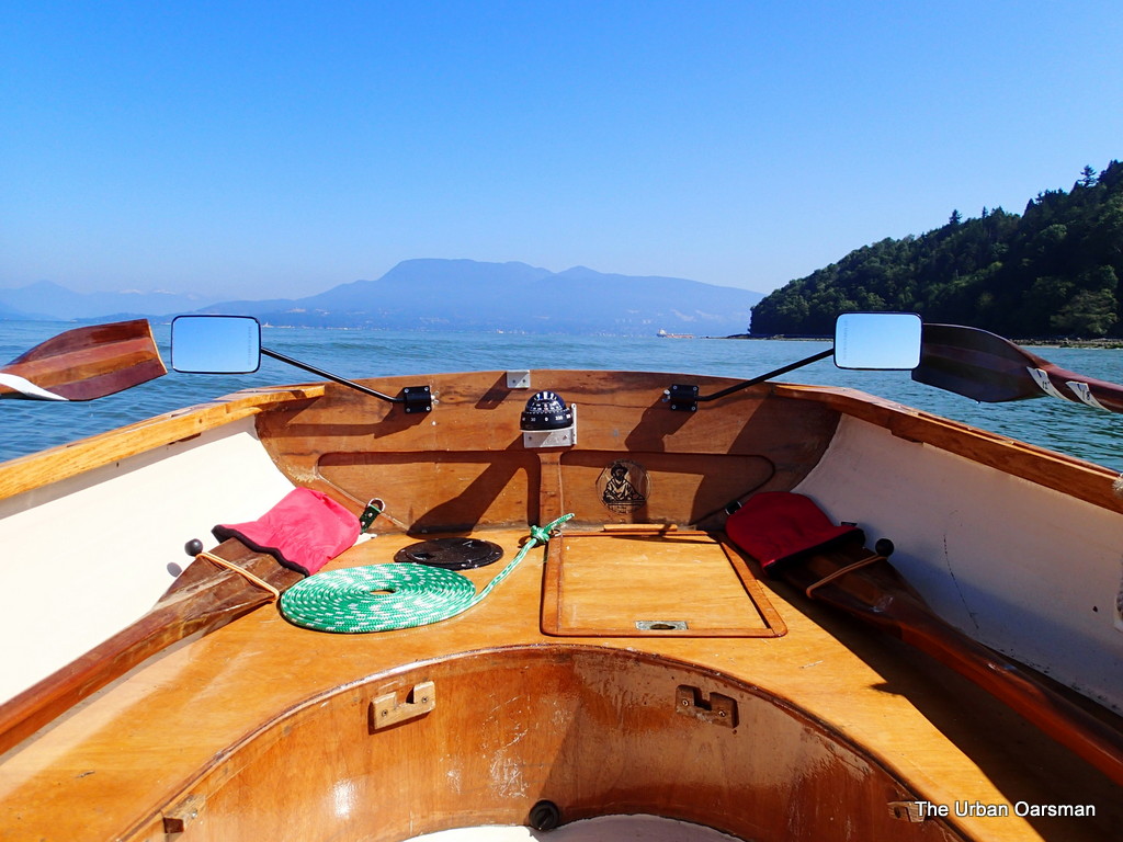
| North and South Gun Emplacements. |
View looking North-East of the two Gun Emplacements.
 |
| Looking North off Point Grey. |
The view back home. Still a little way to go to get to the North Arm Jetty. I row on.
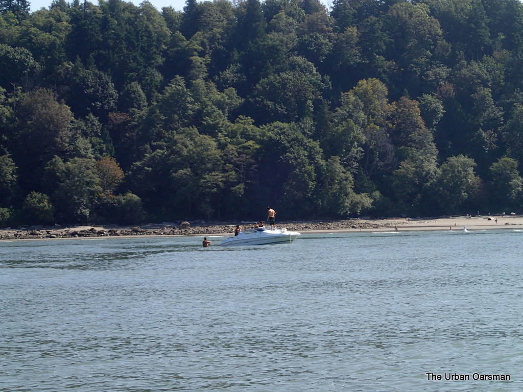 |
| Boat anchored off Wreck Beach. |
A powerboat anchored off Wreck Beach. The man to the left of the boat is standing in the water. It is very shallow and sandy here. A good swimming beach. I am still heading for the North Arm Jetty.
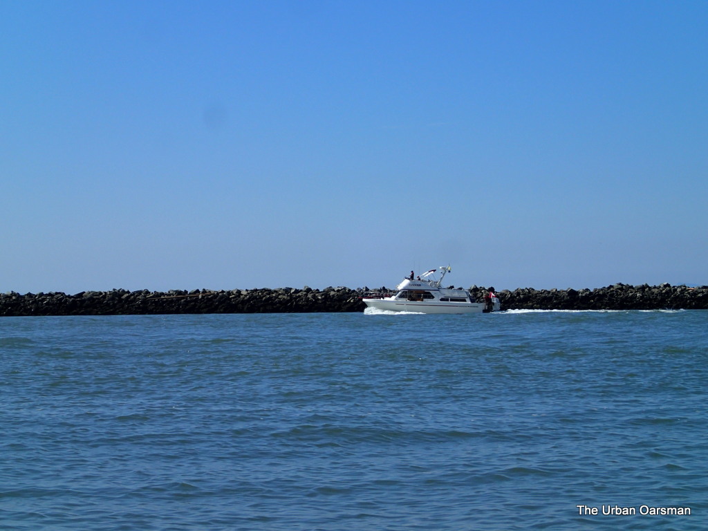 |
| Powerboat heading up the North Arm. The tide has not yet turned. |
A powerboat heading up river. The tide is almost slack. This is about as far as I go. Time for lunch until the tide begins to flood.
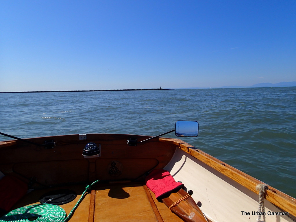 |
| Leaving the North Arm behind. |
Just about 11:30. I am rowing back towards Hollyburn. Long way to go.
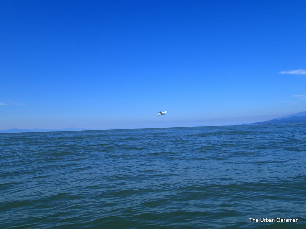 |
| A Seaplane flies South. Better flying down low? |
This seaplane flew south past me at a low altitude. I wonder why so low?
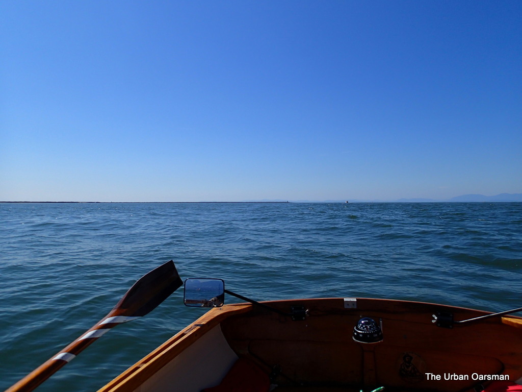 |
| North Arm of the Fraser in the distance |
On the row home, leaving the North Arm Jetty behind.
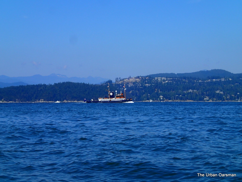 |
| Tug Boat Yacht St. Ives. |
Just ahead of the deep sea frieghter Les Victoria is the St. Ives. This tug is usually moored at the Cate’s tugs dock by Lonsdale Quay. Very pretty.
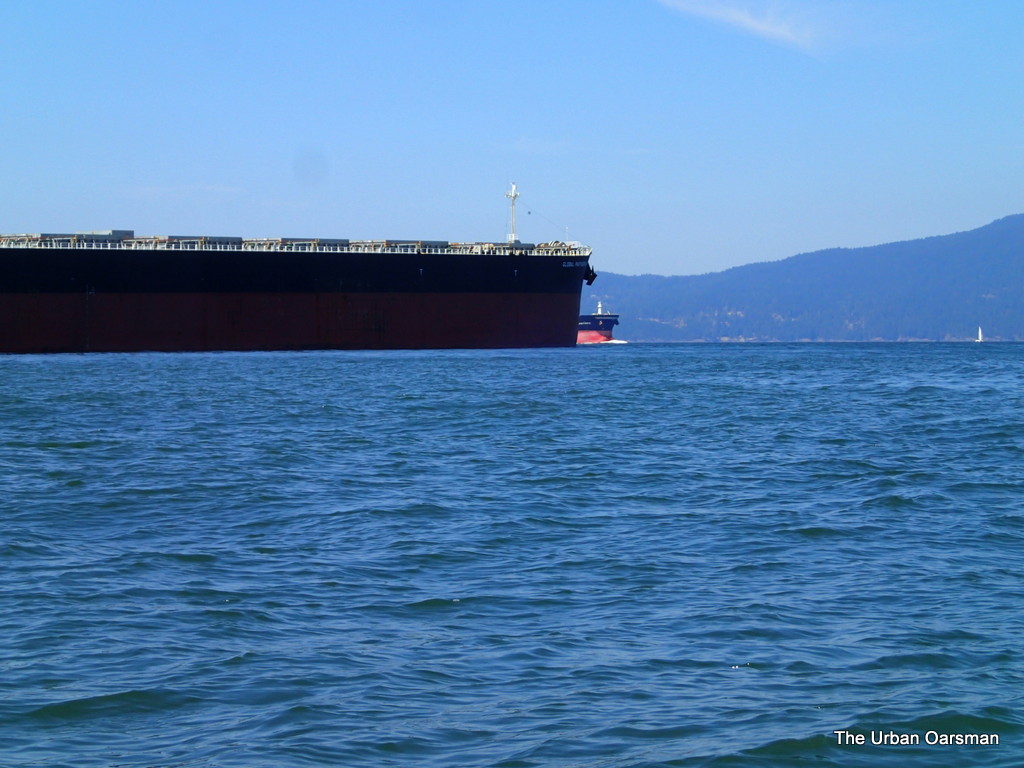 |
| The deep sea freighter Les Victoria enters port for Burrard Inlet. |
As usual, I first heard about the Les Victoria entering port on the Vancouver Port Traffic channel. She is moving quickly along into harbour.
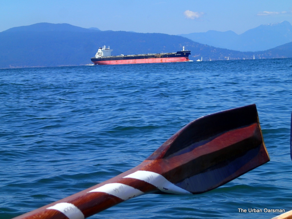 |
| I wonder how many oarspower she has? |
Happy that I am not in the shipping channel right now.
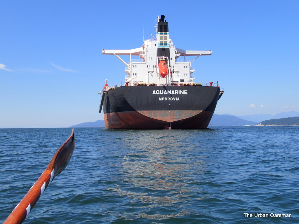 |
| Passing the Aquamarine on the way home. |
On the way back, I pass between the Aquamarine and the Angelic Power.
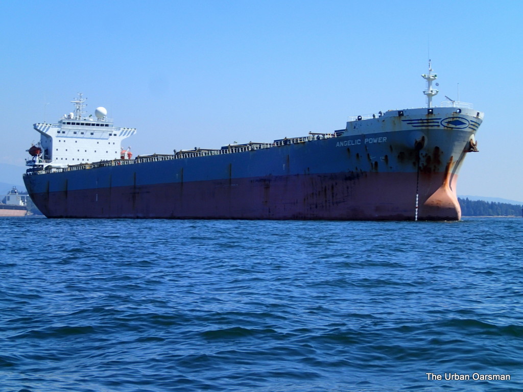 |
| Angelic Power on the return. |
Notice how much rougher the water is than on the way out. The breeze has come up from the South-West.
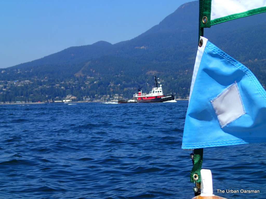 |
| Seaspan Commander heading in. |
The tug Seaspan Commander has finished her tow and is heading back to port.
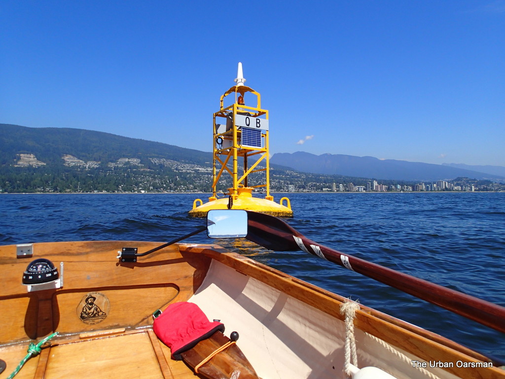 |
| Traffic Separation Buoy QB. |
Traffic Separation Buoy QB in in English bay. Traffic Separation buoy QA is about 2 1/2 miles west of Point Grey outside of the bay.
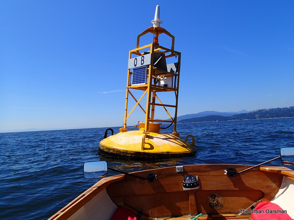 |
| Buoy QB. |
There is a two knot flood current into English Bay here.
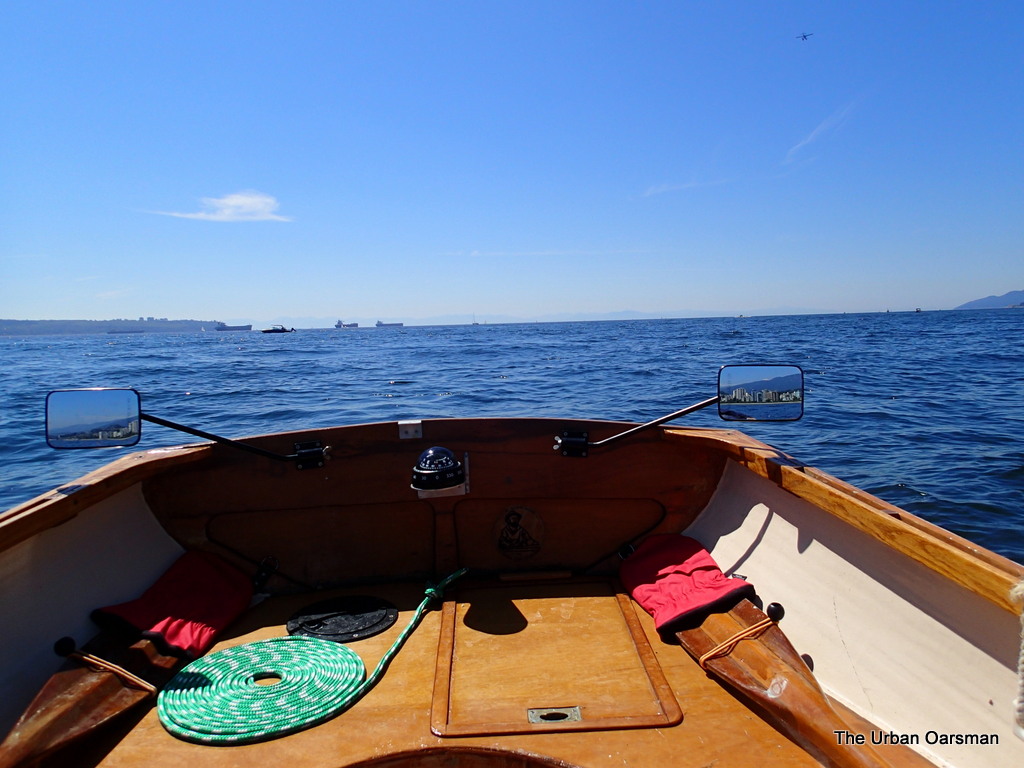 |
| Looking South-West towards the anchored Deep Sea freighters in English Bay. |
Getting closer to HSC with every stroke.
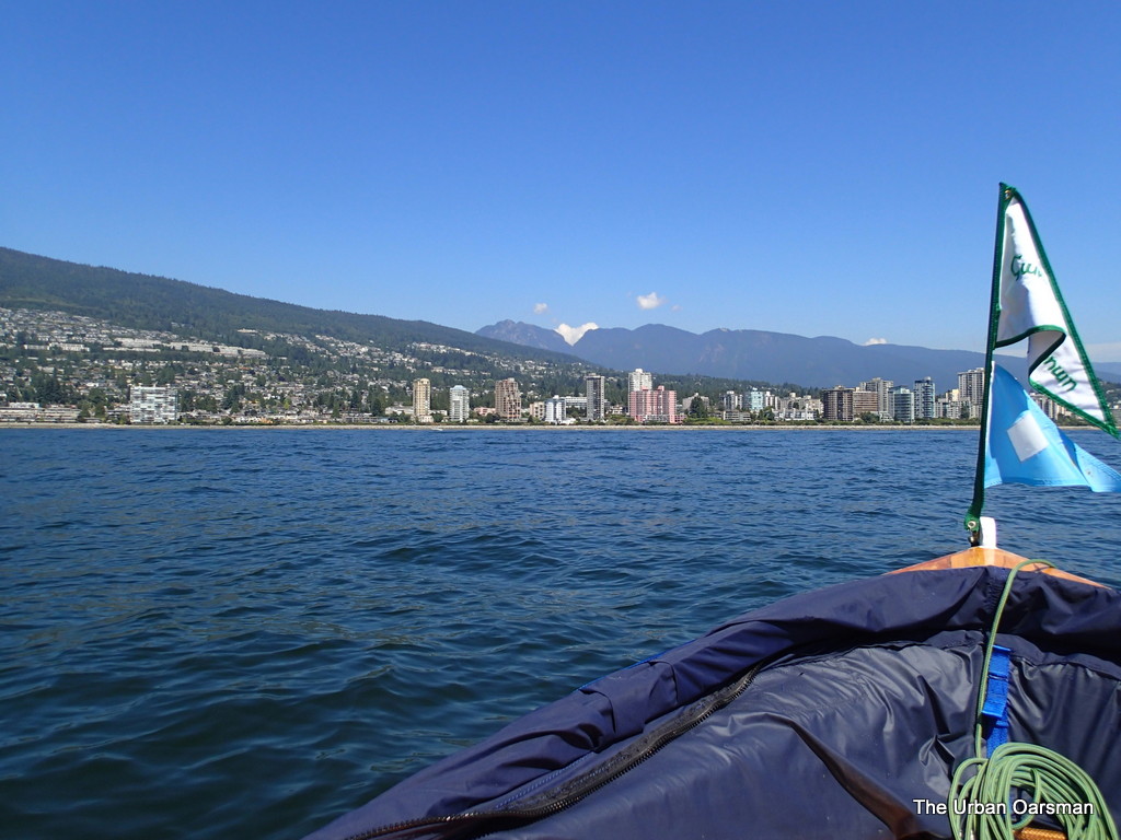 |
| The “Pink Building”. Almost home. |
It is always “not long now” when I close on the “Pink building”.
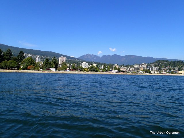 |
| John Lawson Park and the Harmony Arts Festival. |
The Harmony Arts Festival starts just west of the Sailing Club.
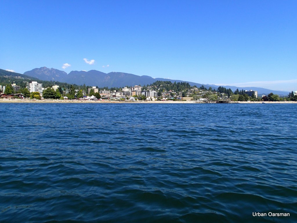 |
| The Ambleside Fishing Pier and the Hollyburn Sailing Club. |
Almost home. by the time I land, I will have rowed Gwragedd Annwn for over six hours. Under good conditions, the North Arm is three hours away. Quite the row, you should try it sometime.
Happy rowing.
Mike
Post Views: 40


