DeBoville Slough Row
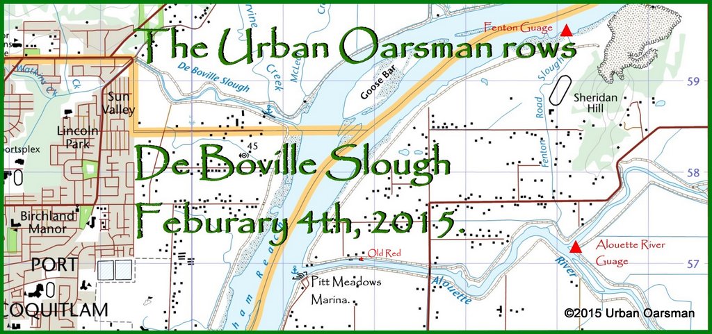 DeBoville Slough is in the city of Coquitlam. It is North and West up river from where the Alouette enters the Pitt.
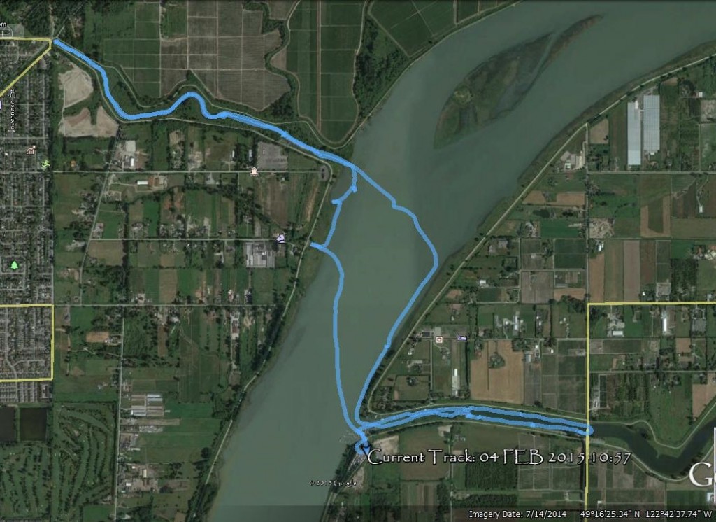
- GPS track of the row.
The rowing plan is to row at the high tide up the slough. It is expected to only drop 30 cm (about a foot) between the high tide around 11:00am to the low tide about 4:00pm.
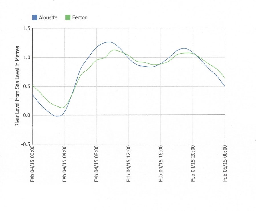
- Pitt River water level at the Fenton Gauge, Alouette River level at the Alouette Gauge
The weather report says that the showers may hold off until the afternoon.
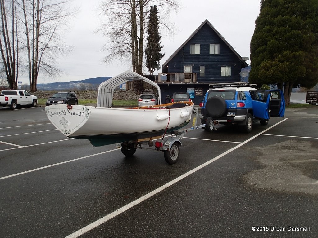 Rigging Gwragedd Annwn for the row in the Marina parking lot.
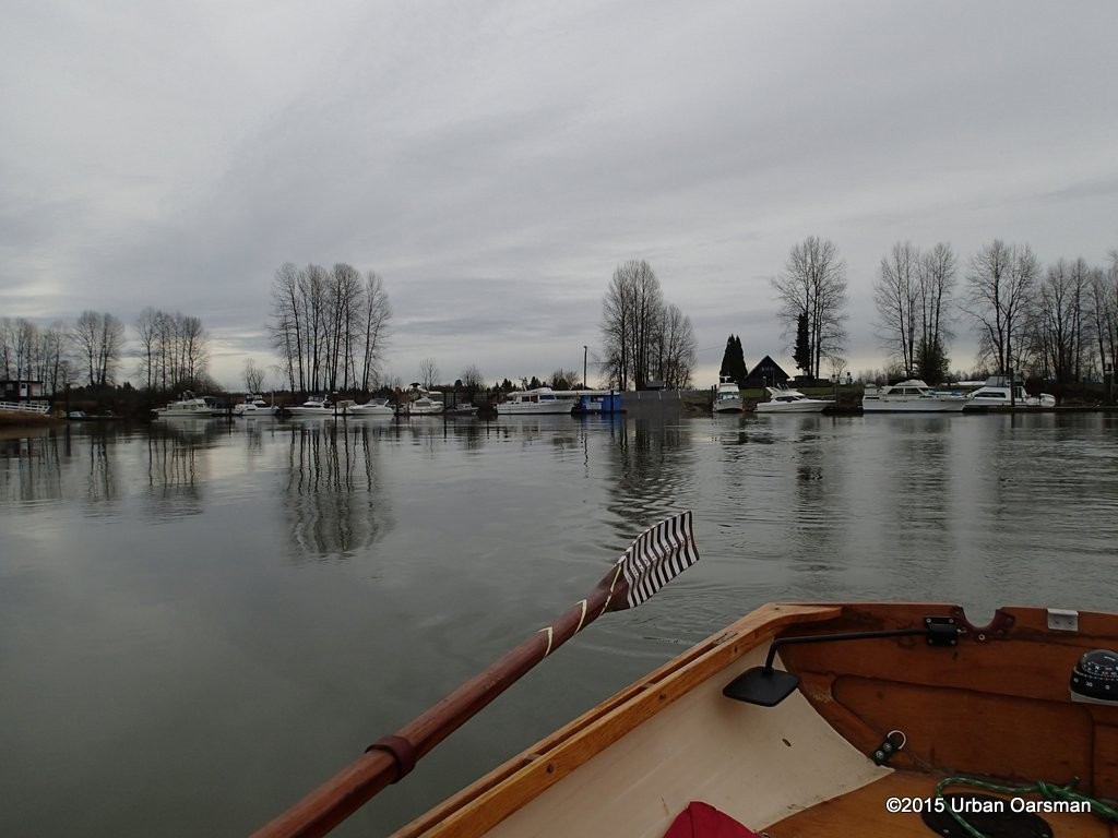 Leaving the Pitt Meadows Marina behind. There is no wind and the river is calm.
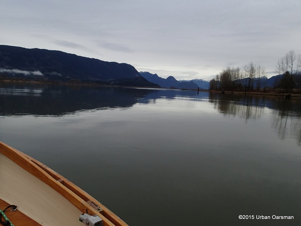 The view upriver.
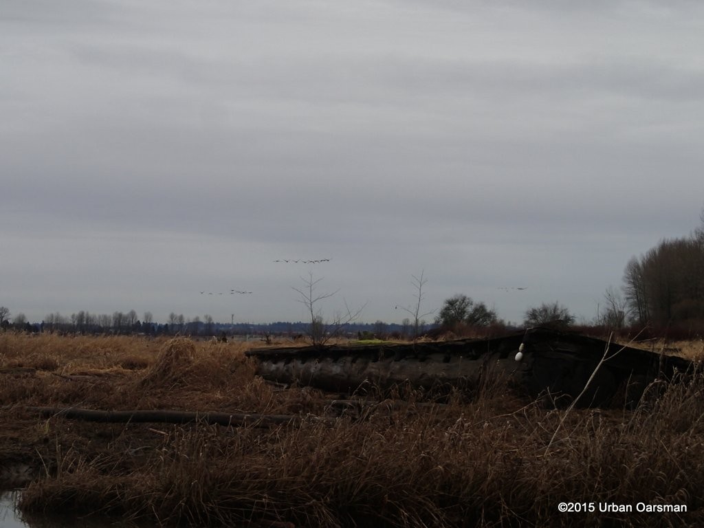
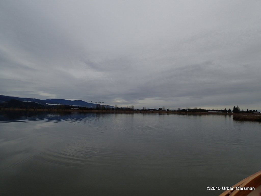 Down river. A flock of geese fly east past the river. Looks to be lightening up!
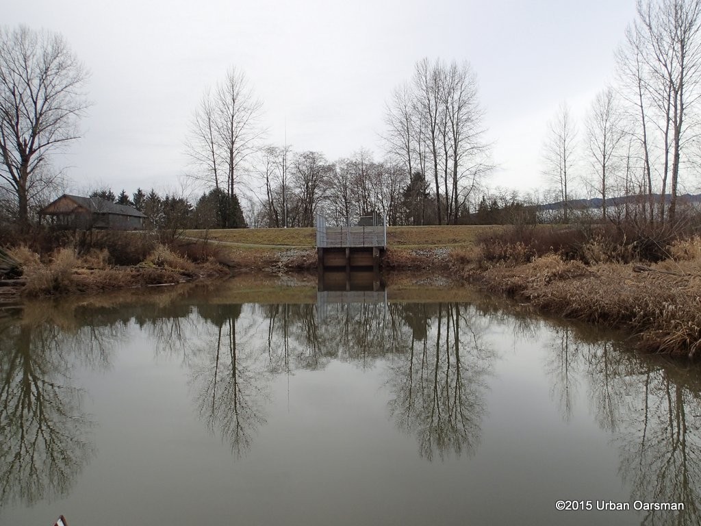 Pump station/drainage canal on the Port Coquitlam side, foot of Laurier Ave.
 The Traboulay PoCo Trail runs along the dyke.
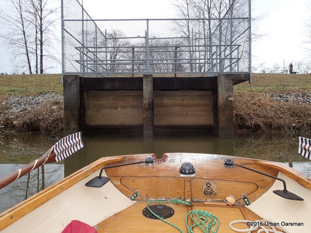 I row close up to the flood-control gate. It is not open at high tide. There are many people walking dogs along the dyke.
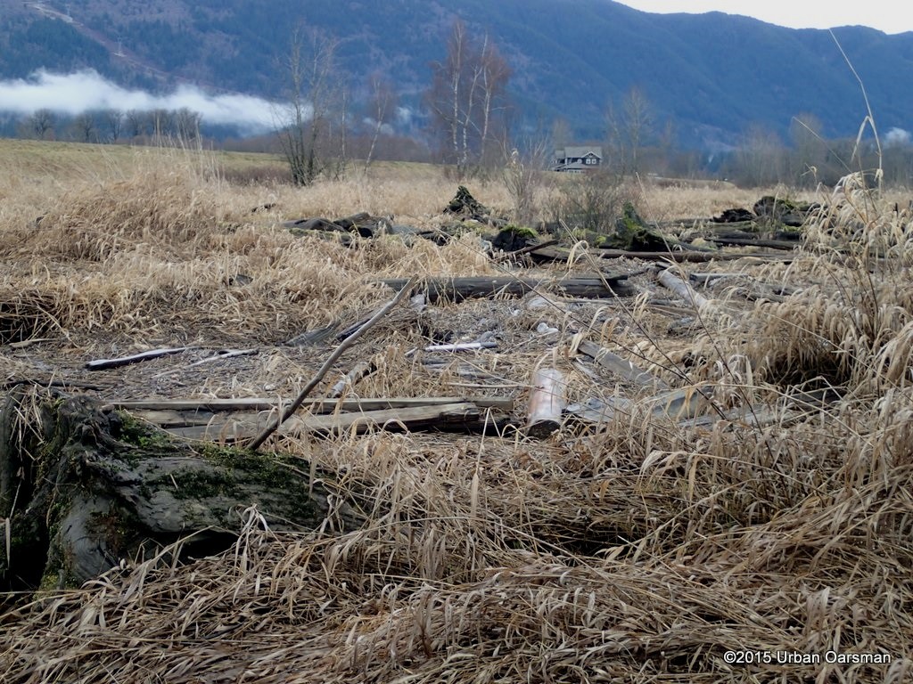 The banks at the high tide line are covered with reeds and drift.
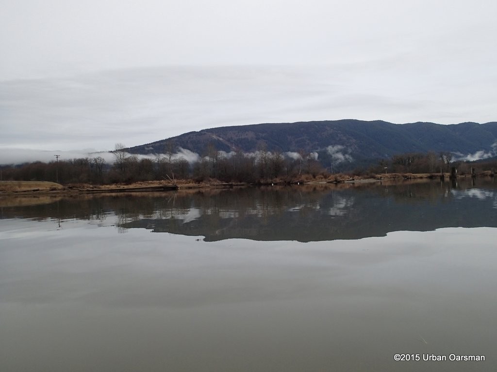 Rowing along the West shore towards DeBoville Slough.
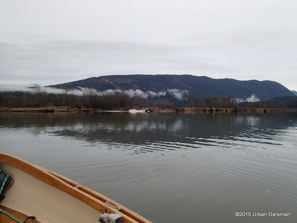 A powerboat leaves the Slough heading up river.
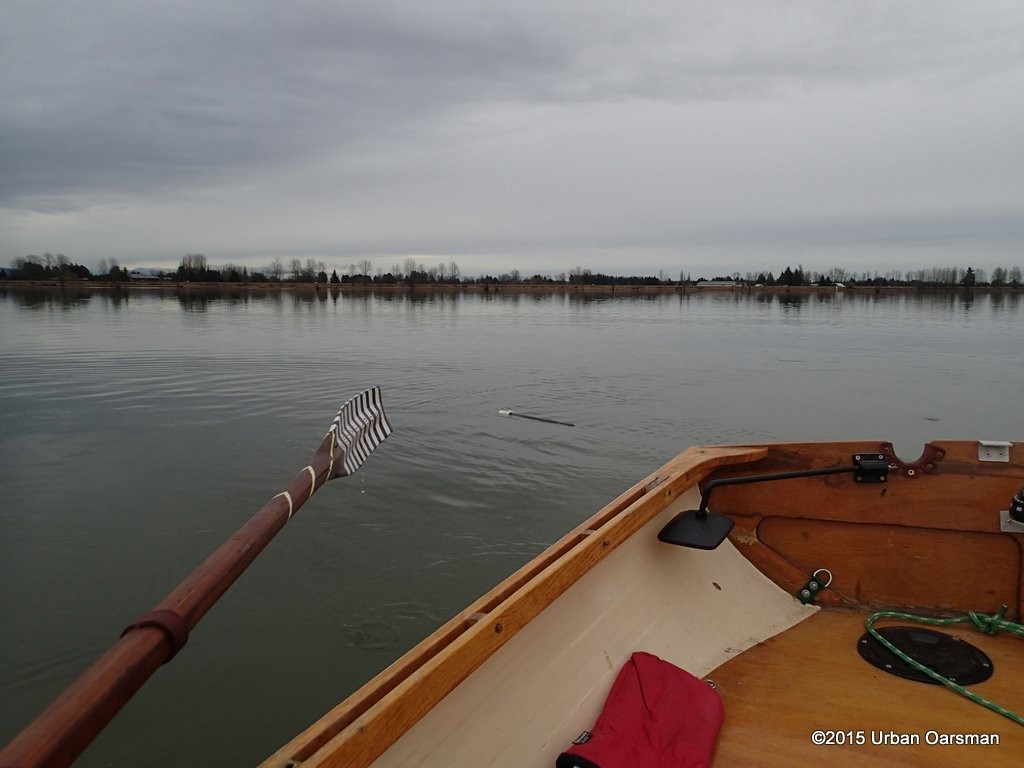 A piece of an oar drifts downstream.
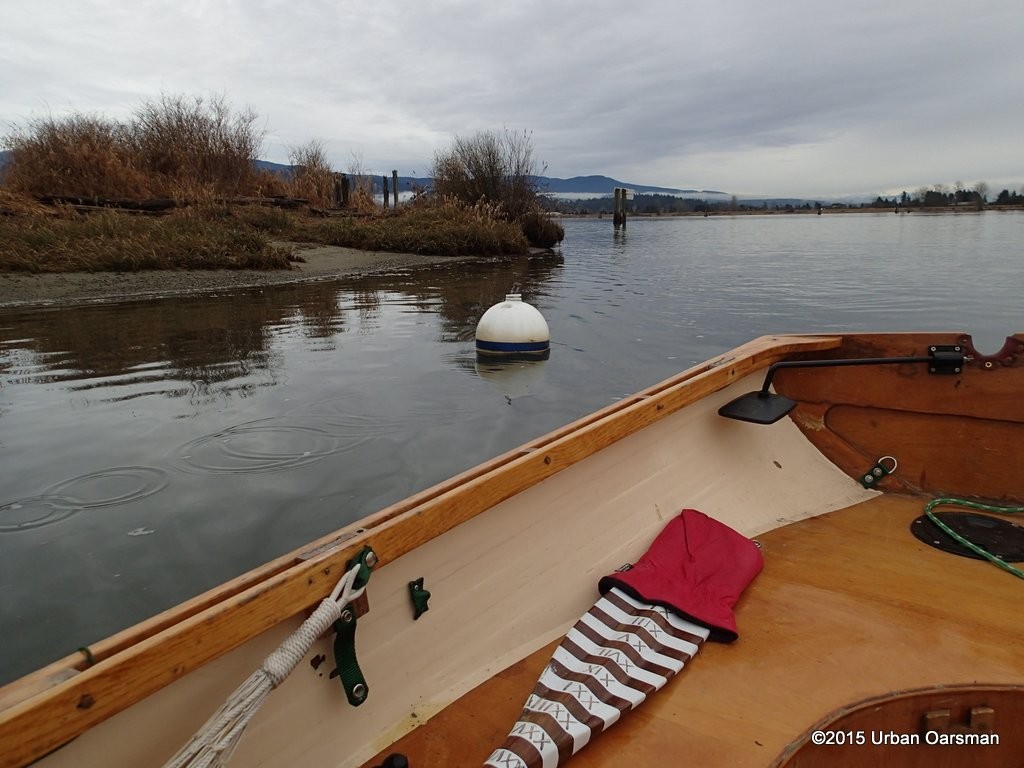 Entering the Slough. The enterance is marked by two white floats. This is the North float.
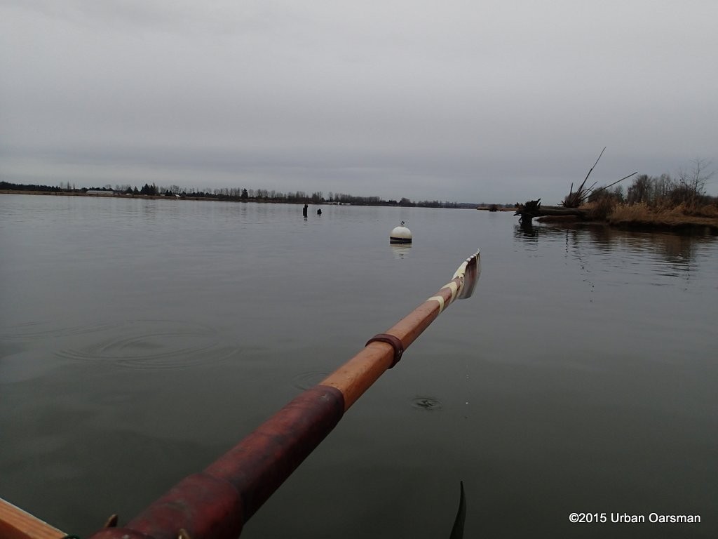 South entrance float.
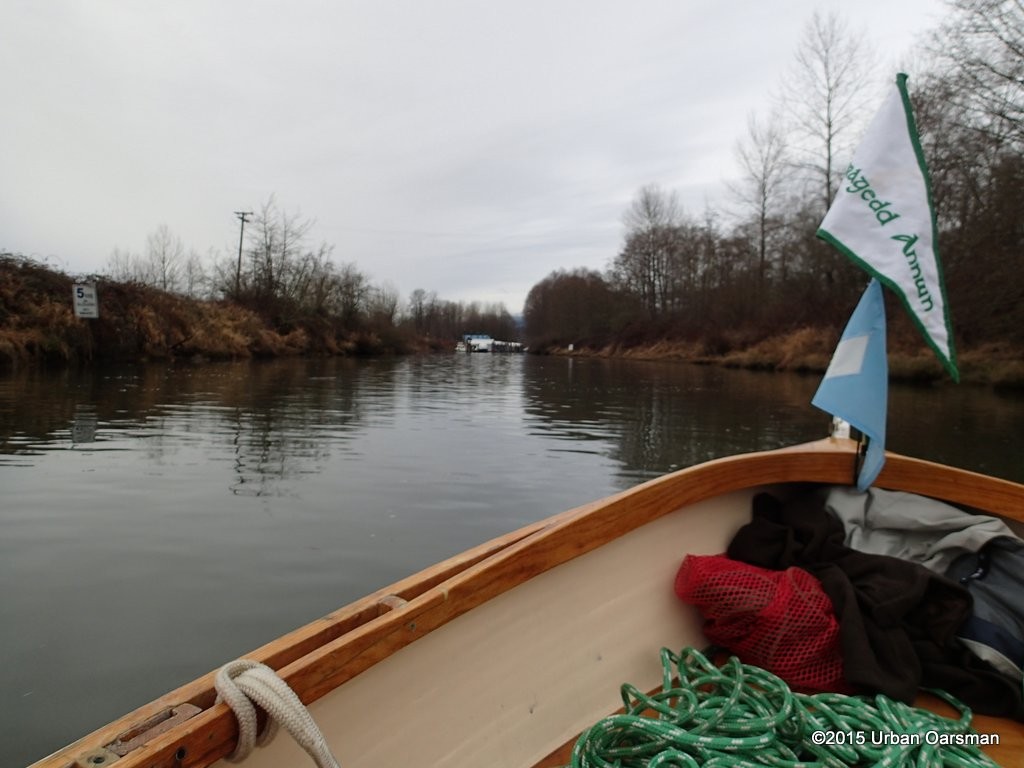 Looking West up DeBoville Slough. The Pitt River Boat Club is in the distance.
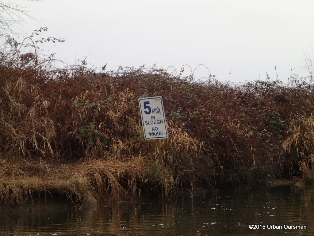 I will be careful not to speed here!
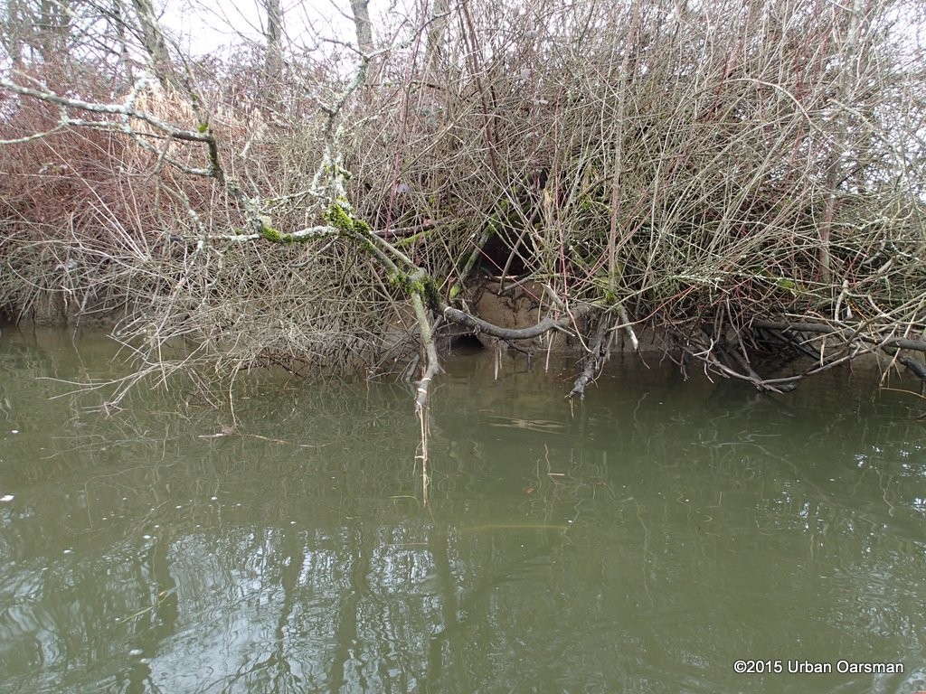 Looks like a beaver hole in the bank. There are signs of beaver activity on the bank.
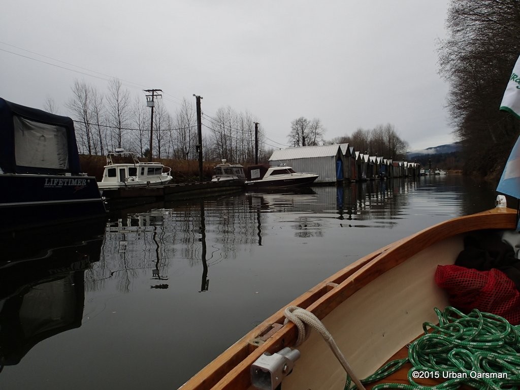 Passing the boat club floats.
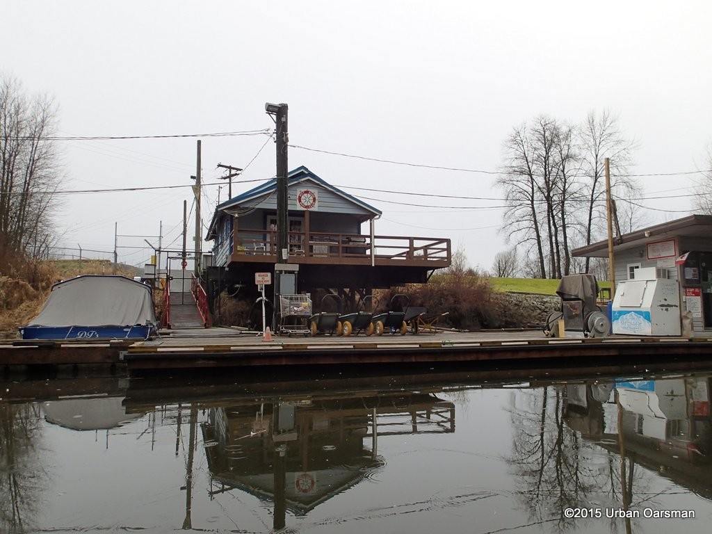 The clubhouse. The sign on the dock says “PRESS BUZZER FOR GASOLENE SERVICE”.
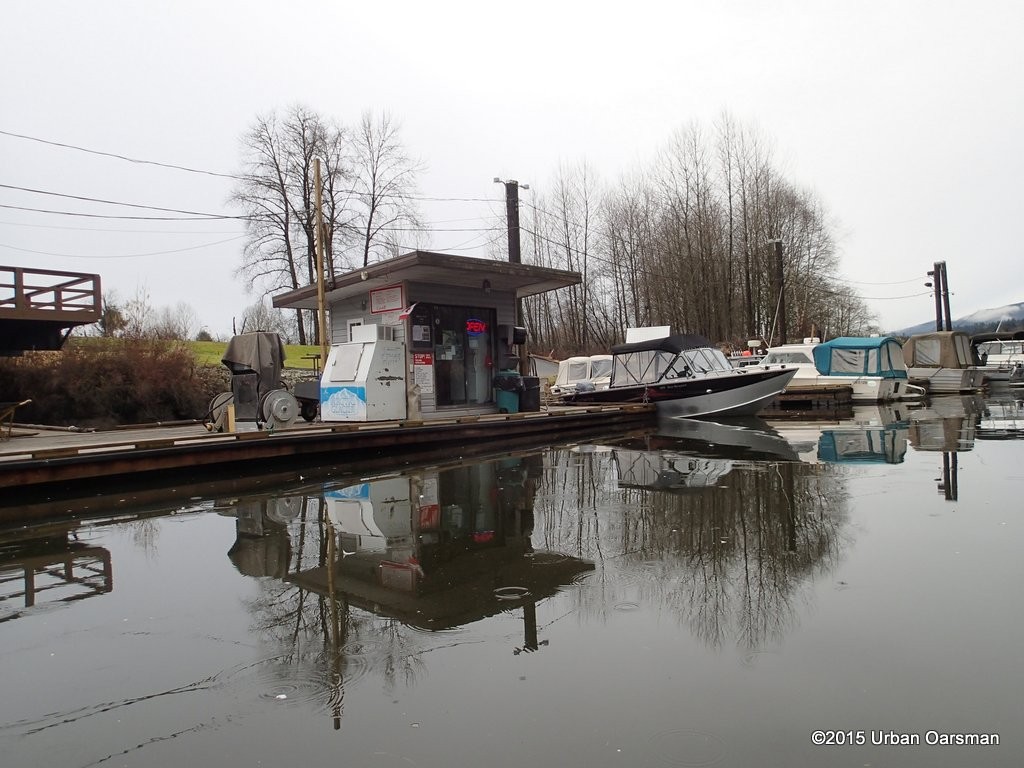 The gas float.
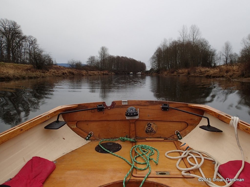 As I row up the slough, leaving the boat club behind, the rain begins.
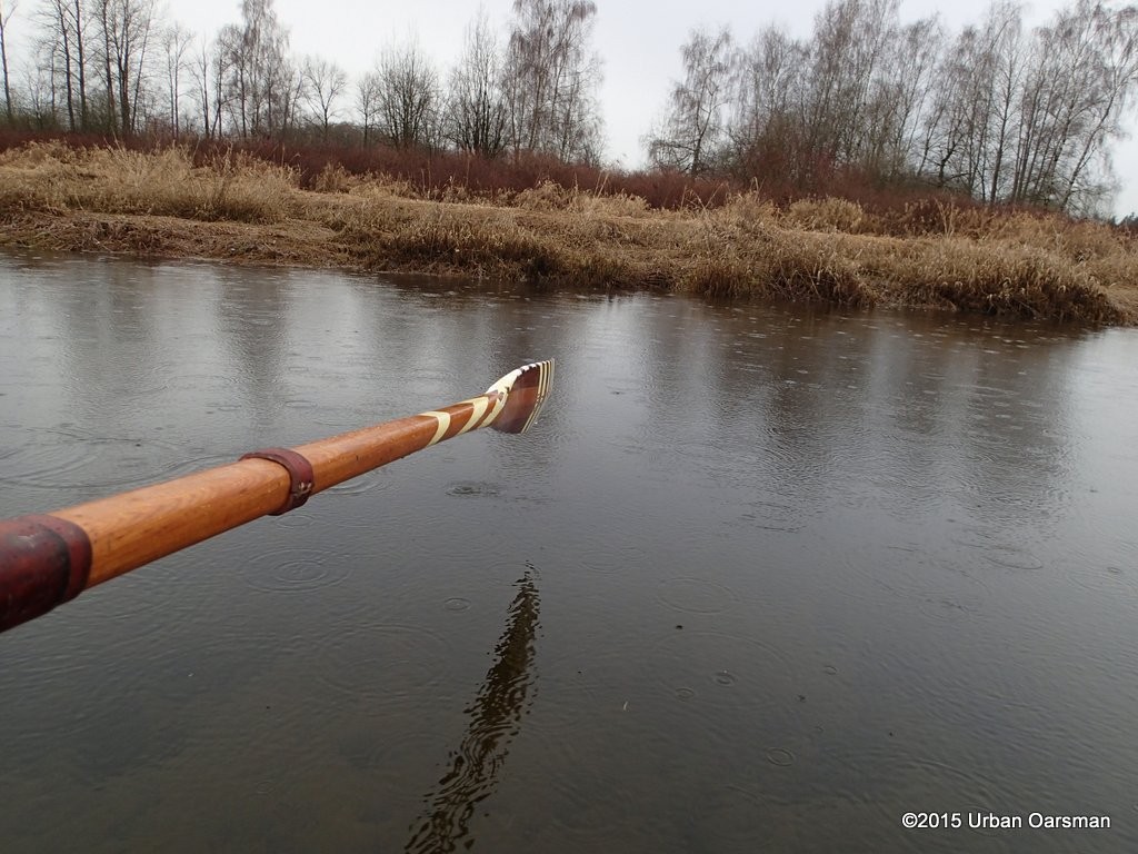 The water is quite high, up to the reeds. I can see bottom, but the water is over 6′ deep.
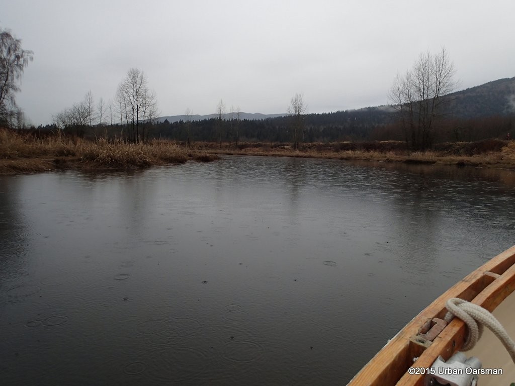 The channel winds its way West into Coquitlam.
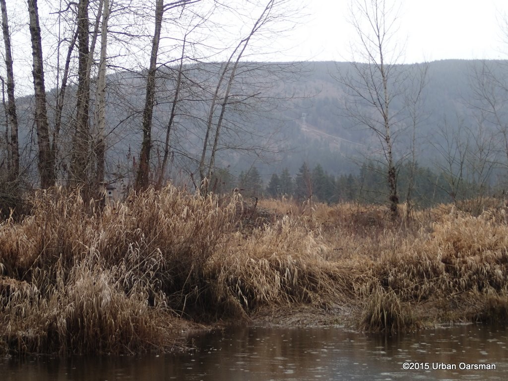 You can almost believe that you are in the wilderness with a view like this.
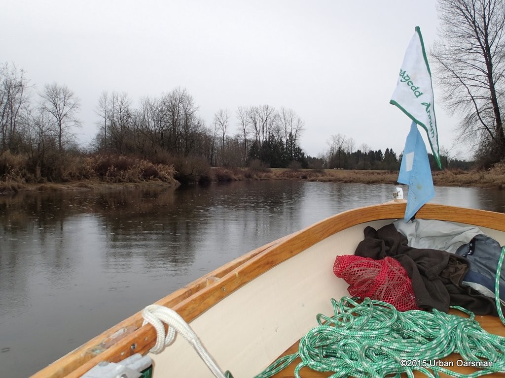 The dyke on the South side of the slough. It is the Trans Canada/ Traboulay PoCo walking trail.
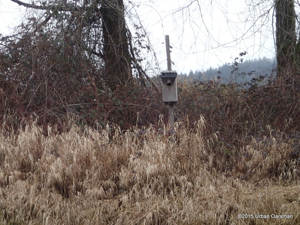 There are many bird houses on the banks.
 The weather is closing in. Rats!
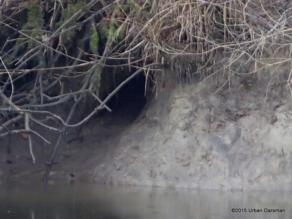 Looks like another beaver hole in the bank.
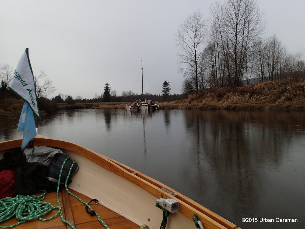 Around a bend I am surprized by a moored trimaran.
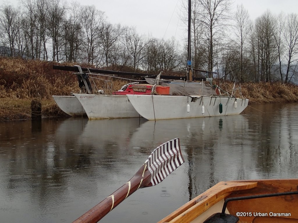 She is BC2733457. The owner must row over to the trail on the North side of the slough. It is a very sheltered spot to anchor.
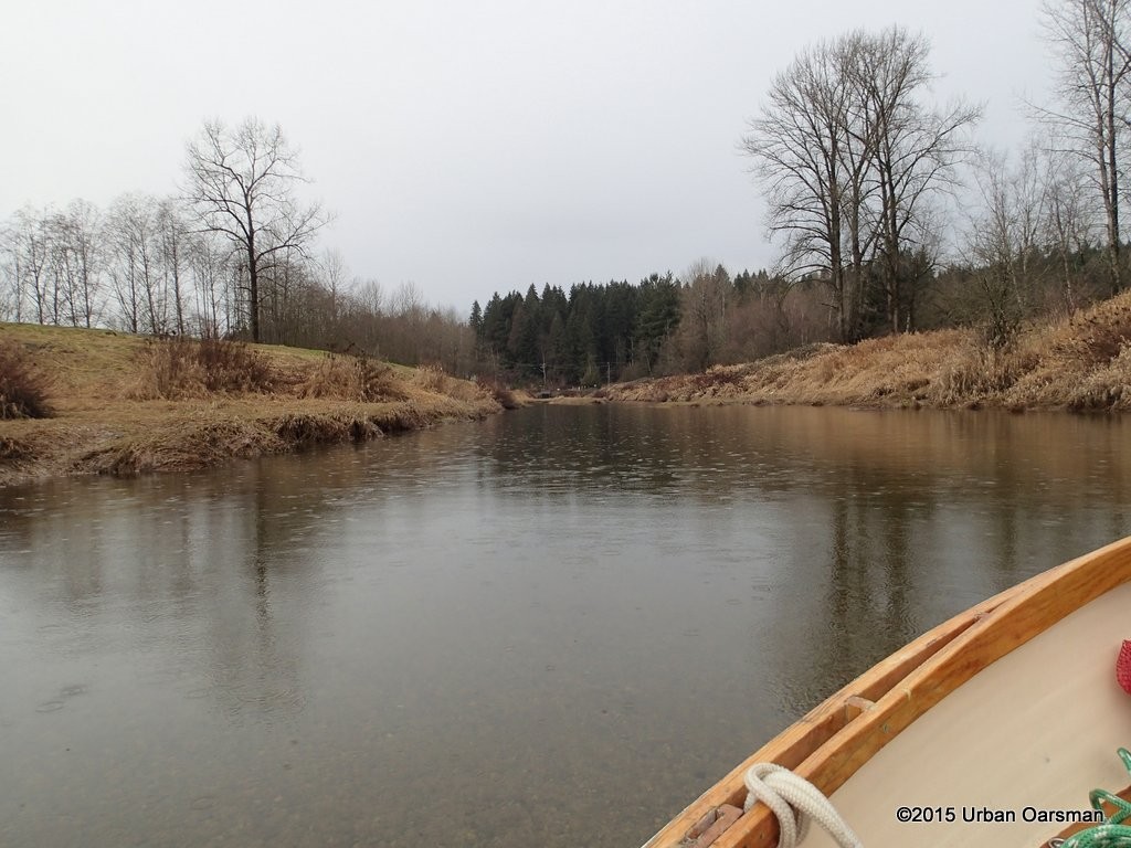 In the distance to the West, I can see the end of the slough at Cedar Drive.
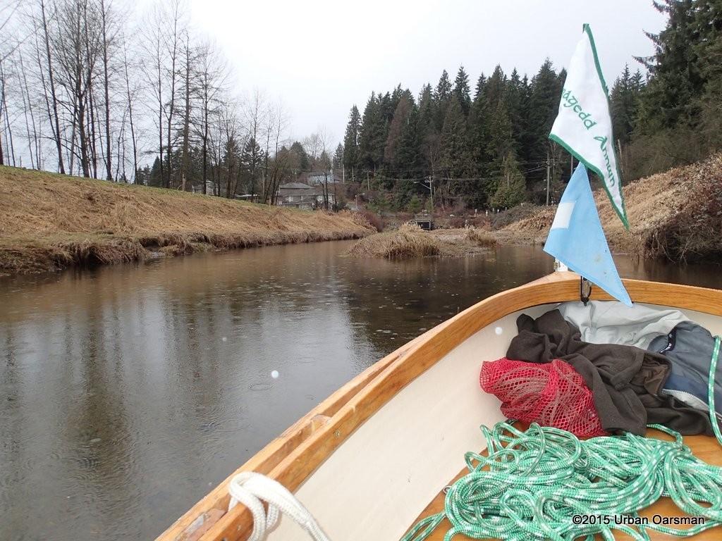 I have to be careful and stay in the channel here and up to the culverts and flood control gate.
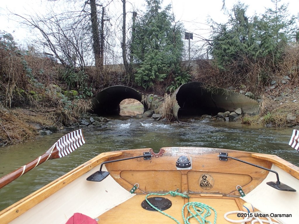 These two culverts go under Cedar Drive. There is a drainage ditch/channel that goes South-West between Cedar Drive and Huber Drive. If the water was higher, I could row into the culvert and down the channel. One day when the water levels are higher!
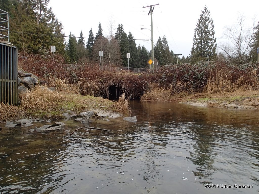 This culvert goes to a drainage ditch/channel that goes North-East along Cedar Drive. It may be Partington Creek.
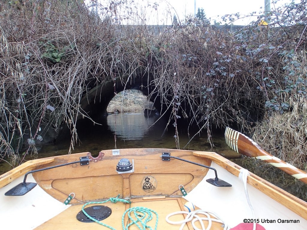 Should have brought the hedge clippers! The water level is too low and the tide is falling. Too shallow for Gwragedd Annwn.
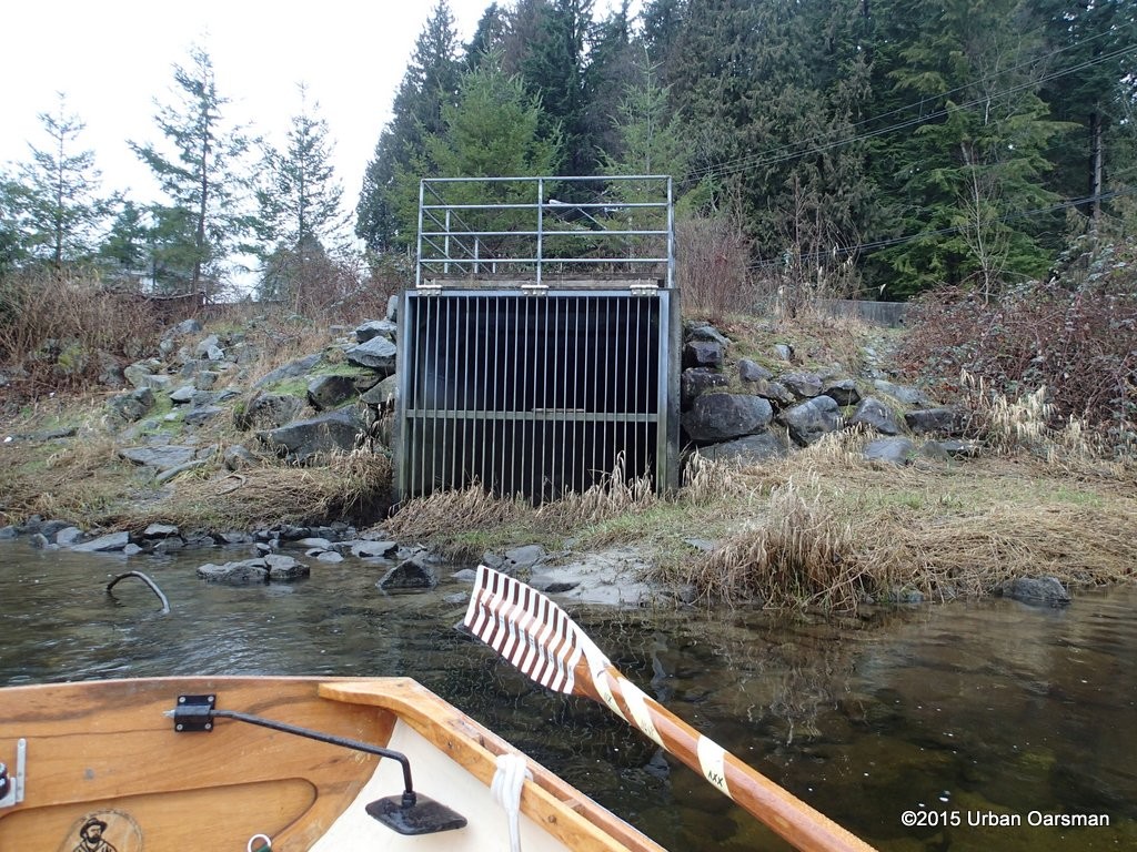 The pump station is gated off. It is not pumping now.
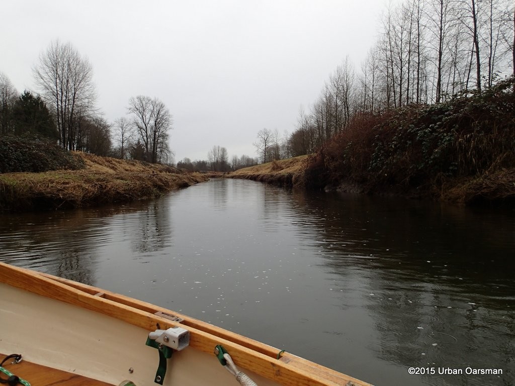 Looking East down DeBoville Slough from Cedar Drive.
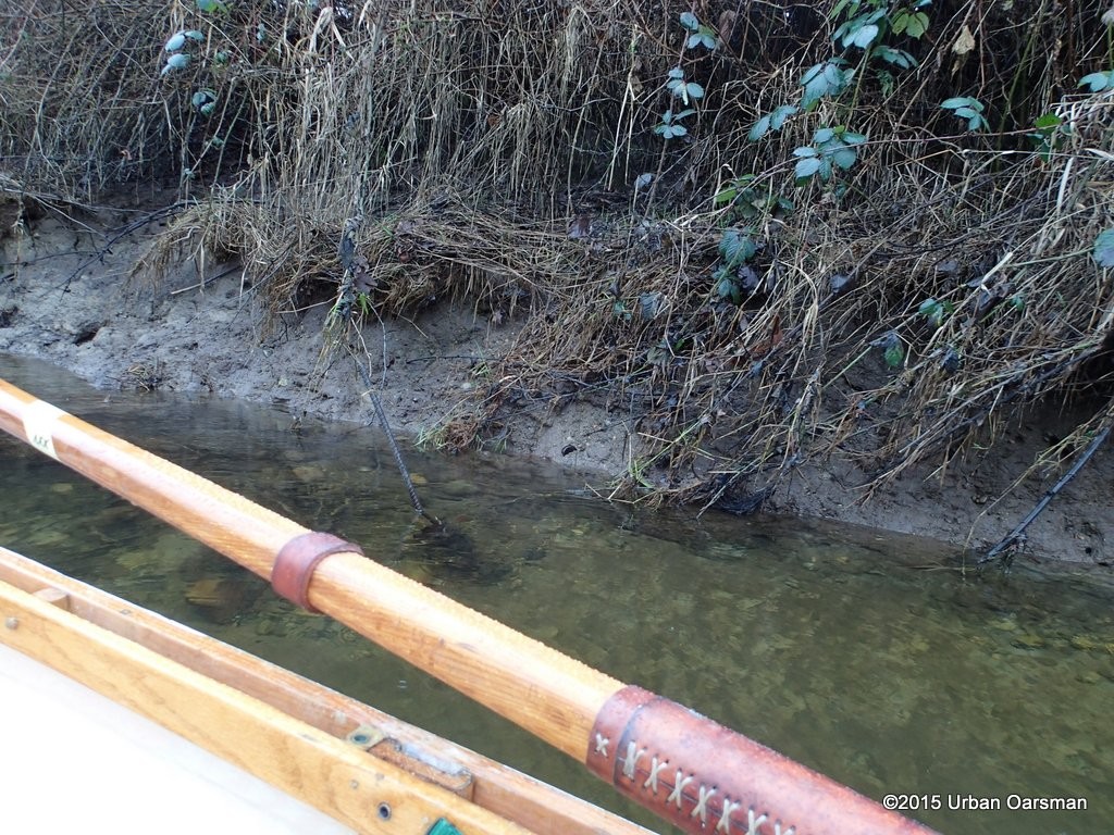 The scum line on the bank suggests that the water level is as much as 2′ higher at times. Nasty piece of rebar sticking up here.
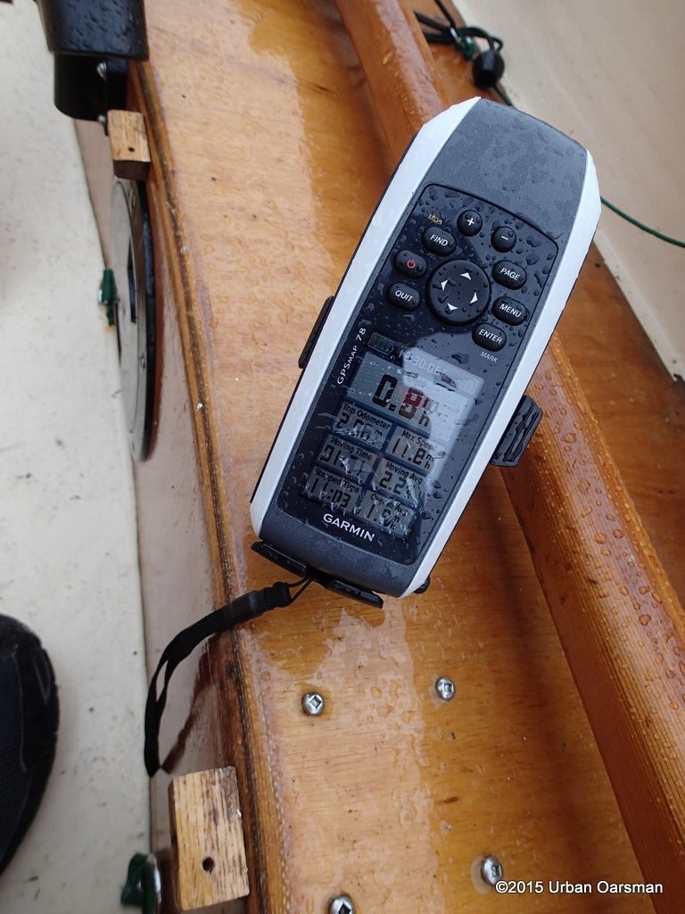 The current in the slough is almost one mile per hour here.
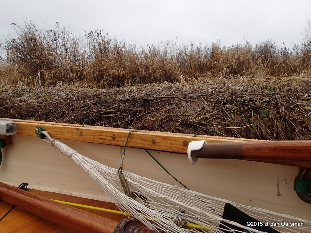 Scum line showing the highest water level.
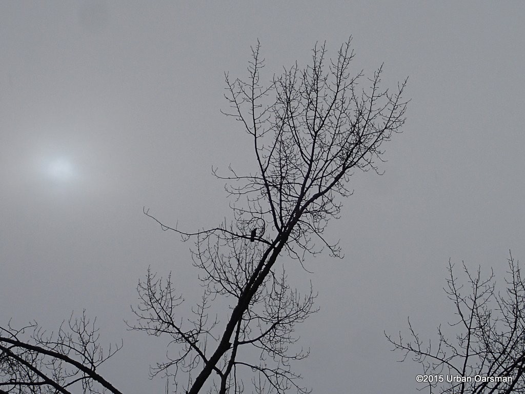 A crow keeps watch as the sun tries to break through the clouds.
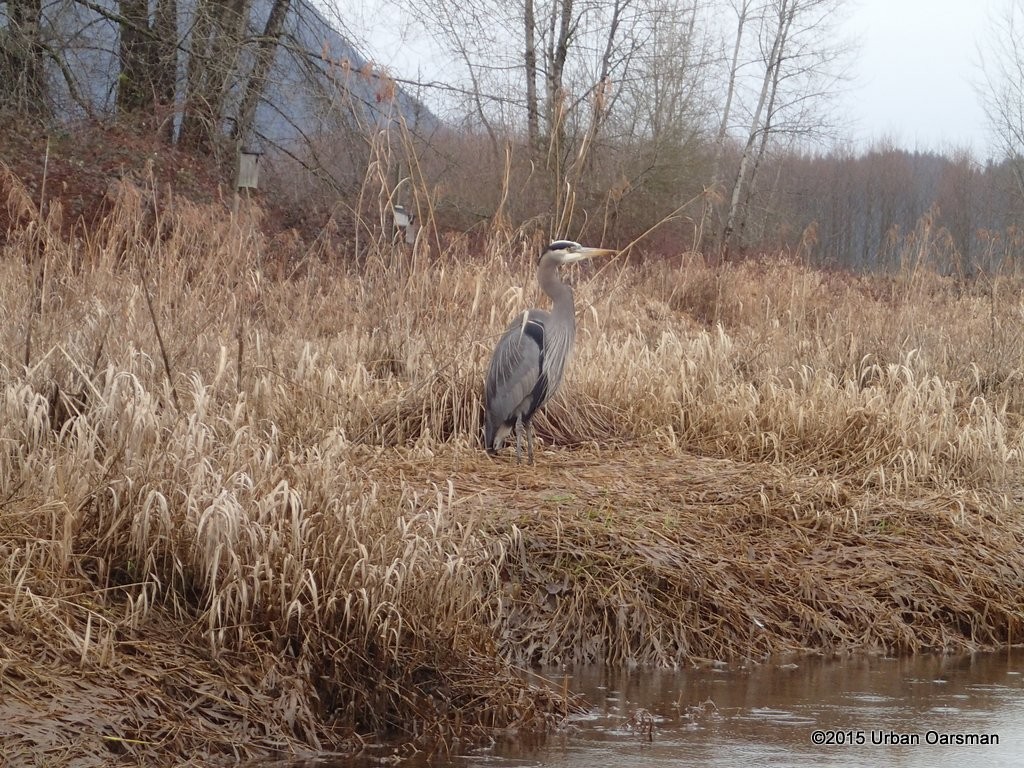 A Blue Heron fishes from the bank, bird houses in the background.
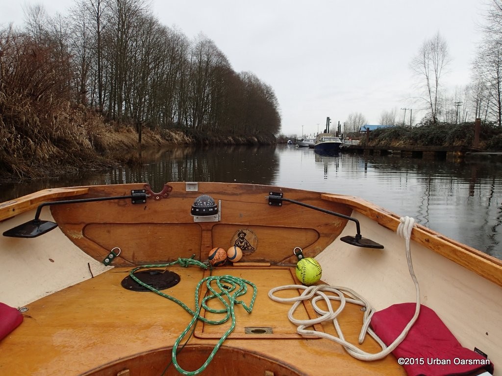 Comming up to the Pitt River Boat Club. I have found two doggie balls and a soft ball for Cleo, a friend’s German Shepard.
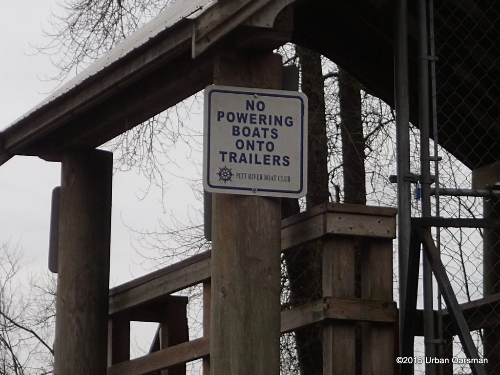 Nice to seee that they must row their boats onto their trailers.
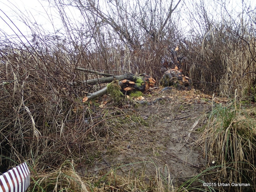 Beaver sign.
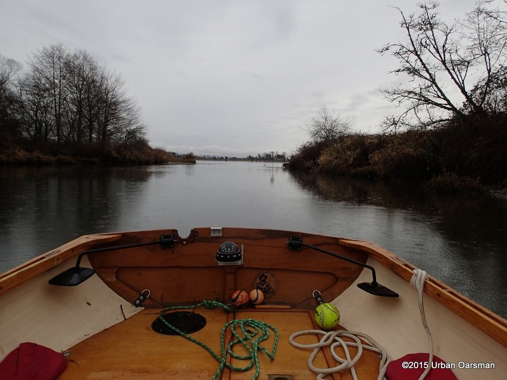 Looking East out of the Slough. The two dark dots are the channel marker bouys.
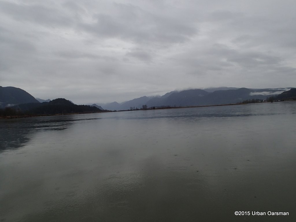 Looking up Pitt River. Even though the rain is light, I wish it would stop.
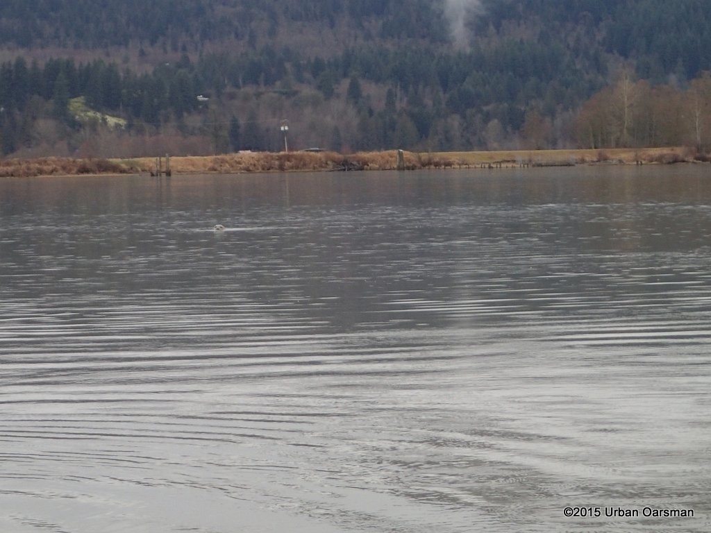 A seal follows me hoping that I am fishing. No luck for the seal today.
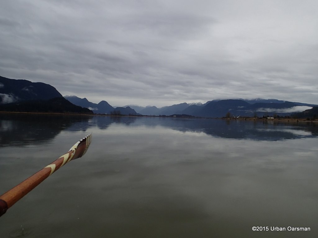 Lucky me! the rain has almost stopped.
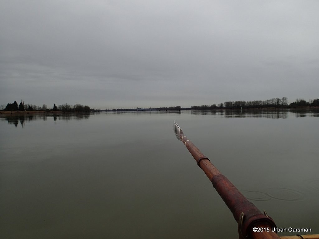 Looking to the Pitt River Bridge. The rain has stopped now.
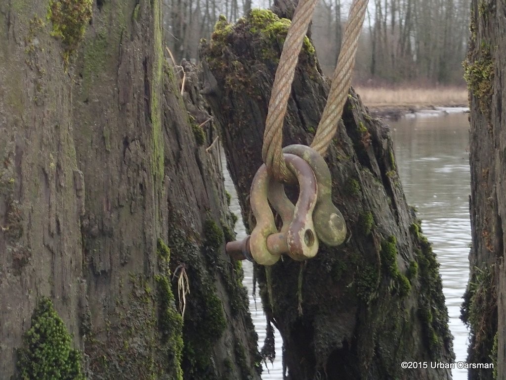 A pair of shackles on a dolphin await a log boom.
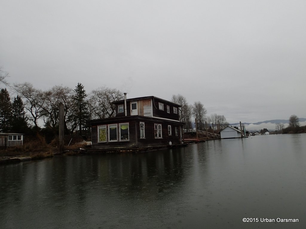 The houseboat at the mouth of the Alouette. The rain has started again. Sigh.
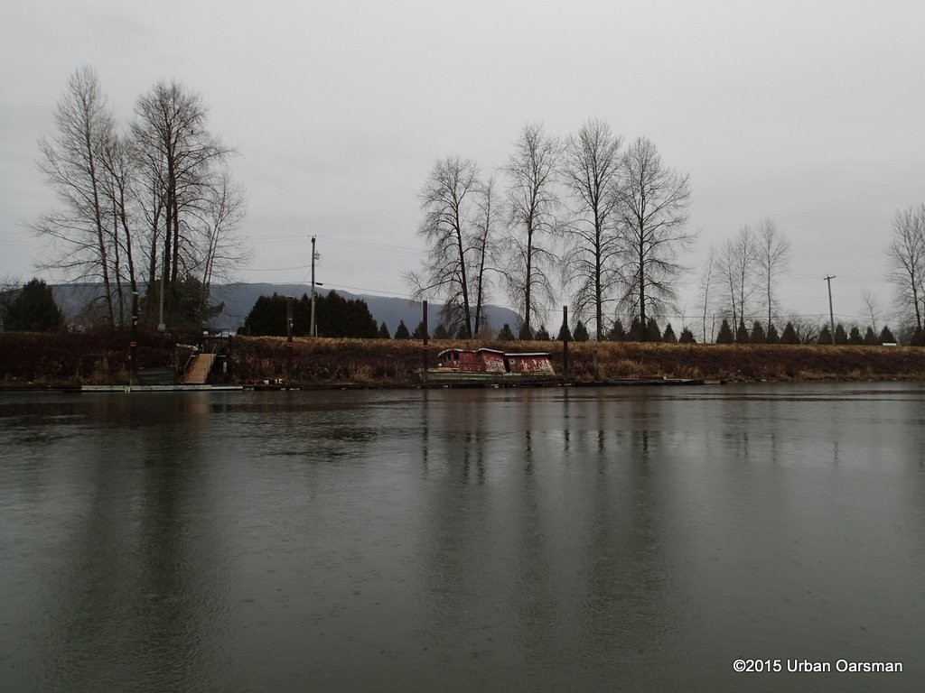 I row up the Alouette, past a derelict I call “Old Red”. I have see photos of her afloat in the recent past.
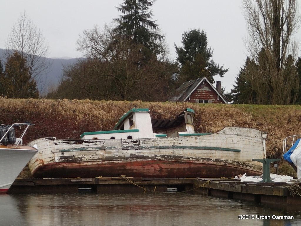 Another derelict boat. I have seen photos of her afloat in 2012.
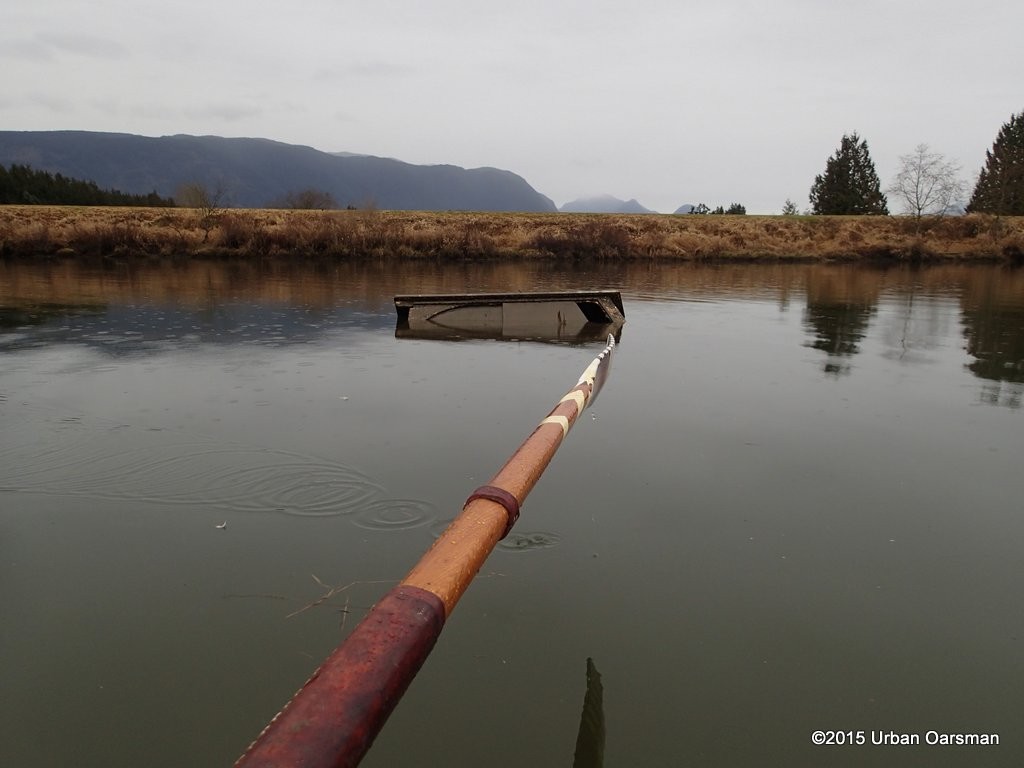 This is a wreck. At high water her cabin top is covered.
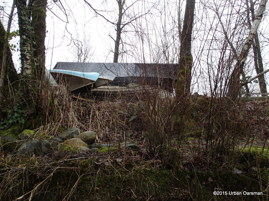 A clinker boat up on the hard at the Pitt Meadows Paddling club. I can not tell if she has an inboard or not. One day I will have to go to the club and have a better look.
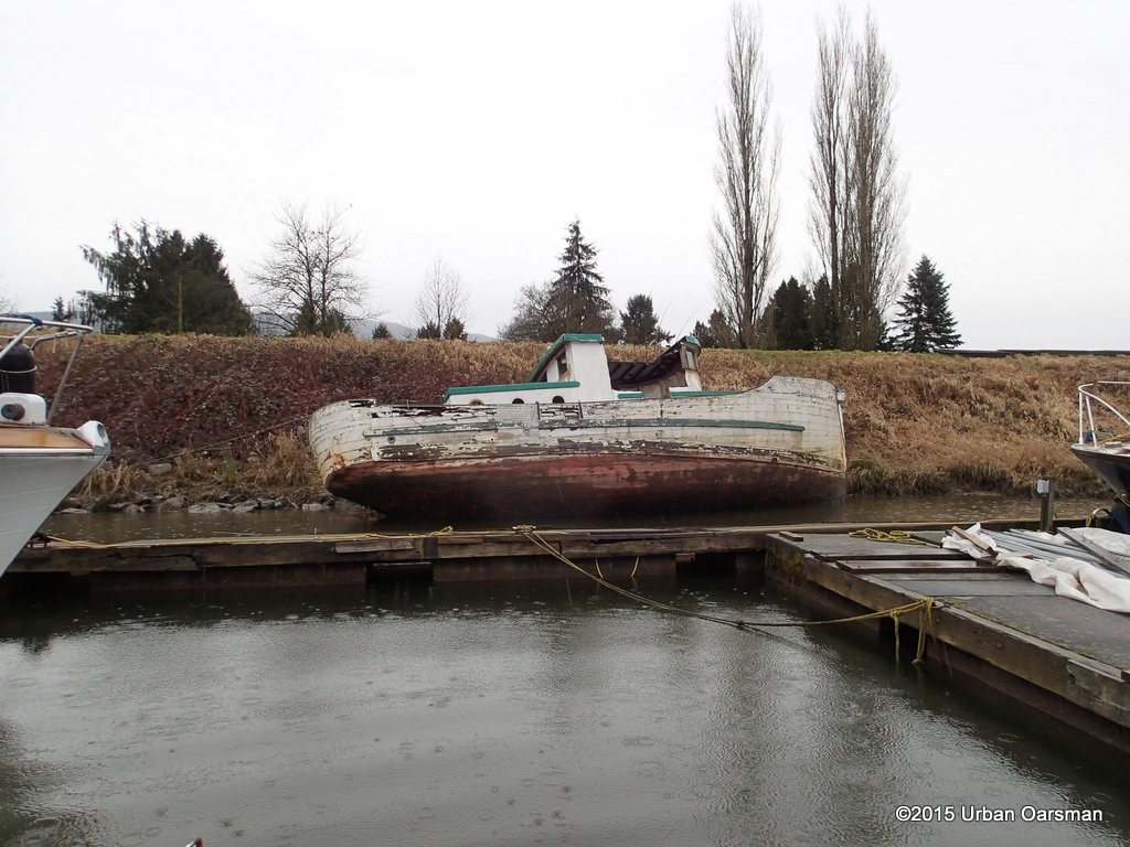 Heading downstream, I pass by the derelict again.
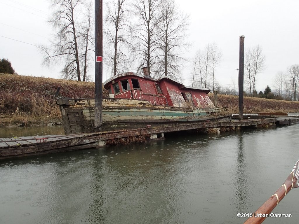 A photo of “Old Red”.
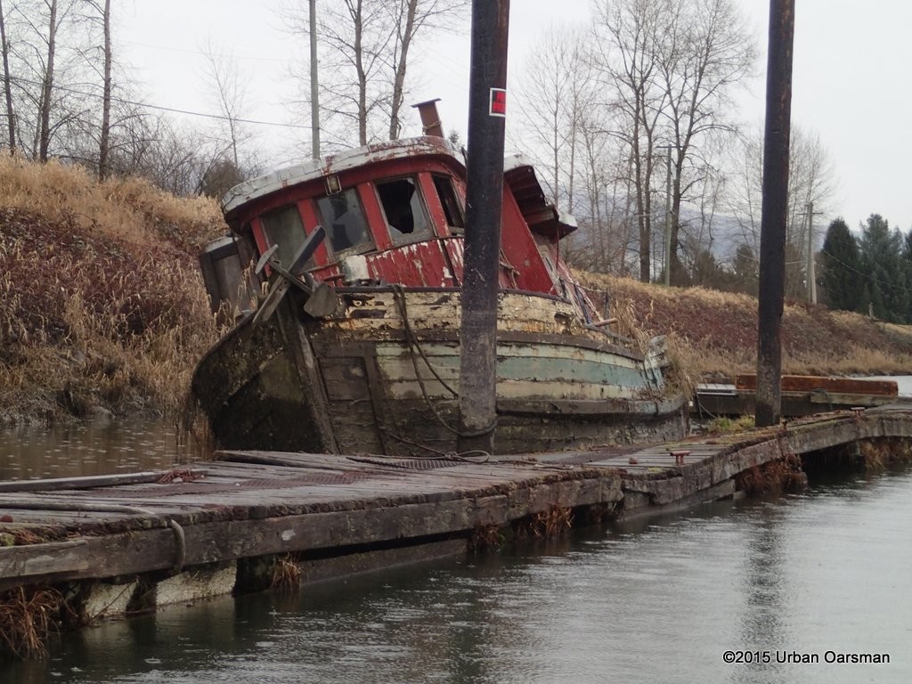
Another one. It is almost the end of the Row. Time to pack up and go home to dry.

Good Rowing,
Mike
Post Views: 87
This entry was posted in
Under the Keel.... and tagged
Alouette River,
Beavers,
Blaney Creek,
Blue Herons,
DeBoville Slough,
Eagles,
fog row,
freshwater clams,
Geese,
Gwragedd Annwn,
Old Red,
Pitt Lake,
Pitt Meadows Marina,
Pitt River,
Pitt River Boat Club.,
Port Coquitlam,
rain row,
Rowing,
Urban Oarsman. Bookmark the
permalink.
 DeBoville Slough is in the city of Coquitlam. It is North and West up river from where the Alouette enters the Pitt.
 Rigging Gwragedd Annwn for the row in the Marina parking lot.
  Leaving the Pitt Meadows Marina behind. There is no wind and the river is calm.
 The view upriver.
  Down river. A flock of geese fly east past the river. Looks to be lightening up!
 Pump station/drainage canal on the Port Coquitlam side, foot of Laurier Ave.
 The Traboulay PoCo Trail runs along the dyke.
 I row close up to the flood-control gate. It is not open at high tide. There are many people walking dogs along the dyke.
  The banks at the high tide line are covered with reeds and drift.
 Rowing along the West shore towards DeBoville Slough.
 A powerboat leaves the Slough heading up river.
 A piece of an oar drifts downstream.
  Entering the Slough. The enterance is marked by two white floats. This is the North float.
 South entrance float.
 Looking West up DeBoville Slough. The Pitt River Boat Club is in the distance.
 I will be careful not to speed here!
 Looks like a beaver hole in the bank. There are signs of beaver activity on the bank.
 Passing the boat club floats.
 The clubhouse. The sign on the dock says “PRESS BUZZER FOR GASOLENE SERVICE”.
 The gas float.
 As I row up the slough, leaving the boat club behind, the rain begins.
 The water is quite high, up to the reeds. I can see bottom, but the water is over 6′ deep.
 The channel winds its way West into Coquitlam.
 You can almost believe that you are in the wilderness with a view like this.
 The dyke on the South side of the slough. It is the Trans Canada/ Traboulay PoCo walking trail.
 There are many bird houses on the banks.
 The weather is closing in. Rats!
 Looks like another beaver hole in the bank.
 Around a bend I am surprized by a moored trimaran.
 She is BC2733457. The owner must row over to the trail on the North side of the slough. It is a very sheltered spot to anchor.
 In the distance to the West, I can see the end of the slough at Cedar Drive.
 I have to be careful and stay in the channel here and up to the culverts and flood control gate.
  These two culverts go under Cedar Drive. There is a drainage ditch/channel that goes South-West between Cedar Drive and Huber Drive. If the water was higher, I could row into the culvert and down the channel. One day when the water levels are higher!
 This culvert goes to a drainage ditch/channel that goes North-East along Cedar Drive. It may be Partington Creek.
 Should have brought the hedge clippers! The water level is too low and the tide is falling. Too shallow for Gwragedd Annwn.
  The pump station is gated off. It is not pumping now.
  Looking East down DeBoville Slough from Cedar Drive.
  The scum line on the bank suggests that the water level is as much as 2′ higher at times. Nasty piece of rebar sticking up here.
  The current in the slough is almost one mile per hour here.
  Scum line showing the highest water level.
 A crow keeps watch as the sun tries to break through the clouds.
  A Blue Heron fishes from the bank, bird houses in the background.
 Comming up to the Pitt River Boat Club. I have found two doggie balls and a soft ball for Cleo, a friend’s German Shepard.
  Nice to seee that they must row their boats onto their trailers.
 Beaver sign.
 Looking East out of the Slough. The two dark dots are the channel marker bouys.
  Looking up Pitt River. Even though the rain is light, I wish it would stop.
 A seal follows me hoping that I am fishing. No luck for the seal today.
 Lucky me! the rain has almost stopped.
 Looking to the Pitt River Bridge. The rain has stopped now.
 A pair of shackles on a dolphin await a log boom.
 The houseboat at the mouth of the Alouette. The rain has started again. Sigh.
 I row up the Alouette, past a derelict I call “Old Red”. I have see photos of her afloat in the recent past.
 Another derelict boat. I have seen photos of her afloat in 2012.
 This is a wreck. At high water her cabin top is covered.
 A clinker boat up on the hard at the Pitt Meadows Paddling club. I can not tell if she has an inboard or not. One day I will have to go to the club and have a better look.
 Heading downstream, I pass by the derelict again.
 A photo of “Old Red”.


Thanks so much for this entry, Mike! I thoroughly enjoyed the journey. My son-in-law and I are planning a bass fishing expedition (our first together) very soon and I was looking for a great place to paddle my kayaks and fish…this looks like just the spot!!
Awesome photos and narrative. I’m going to keep an eye on your page here because I think it will be very helpful to my future travels.
Thanks again, Mike! Cheers. Gary.