Pitt Marsh Winter Row.
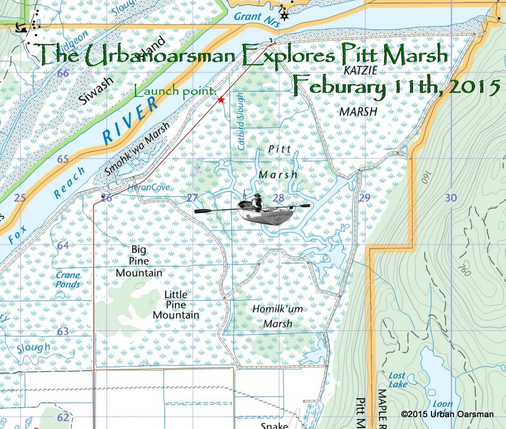 The rowing plan is simple…High tide is at Noon, but in the marsh, does it matter? The tide then drops about a meter (3′) to a low at 8:00pm.
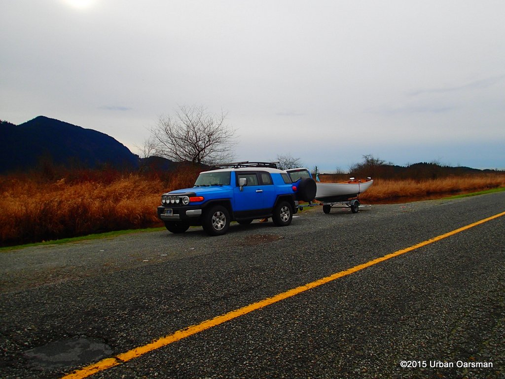 Gwragedd Annwn at the launch point. There is a gravel ramp down to the water. There is no charge to launch and not much parking area.
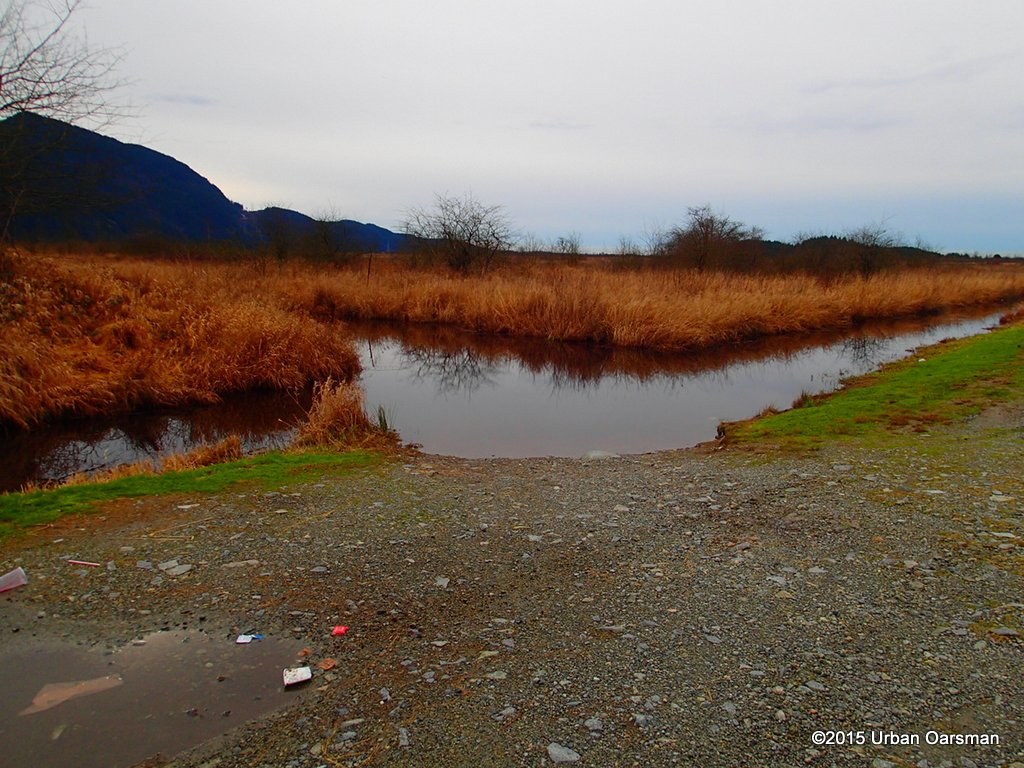 This is the ditch that runs along Rainne Road. The side channel to the left goes into the marsh, connection to Catbird Slough.
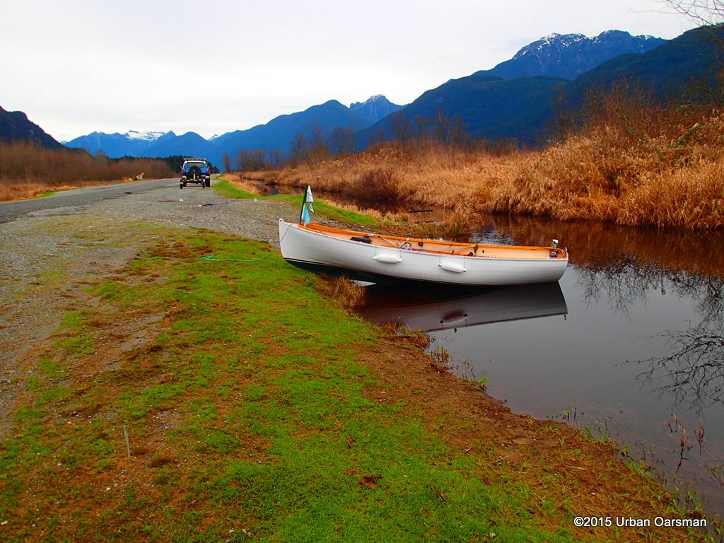 Gwragedd Annwn in the ditch. The FJ is locked up and I am ready to row.
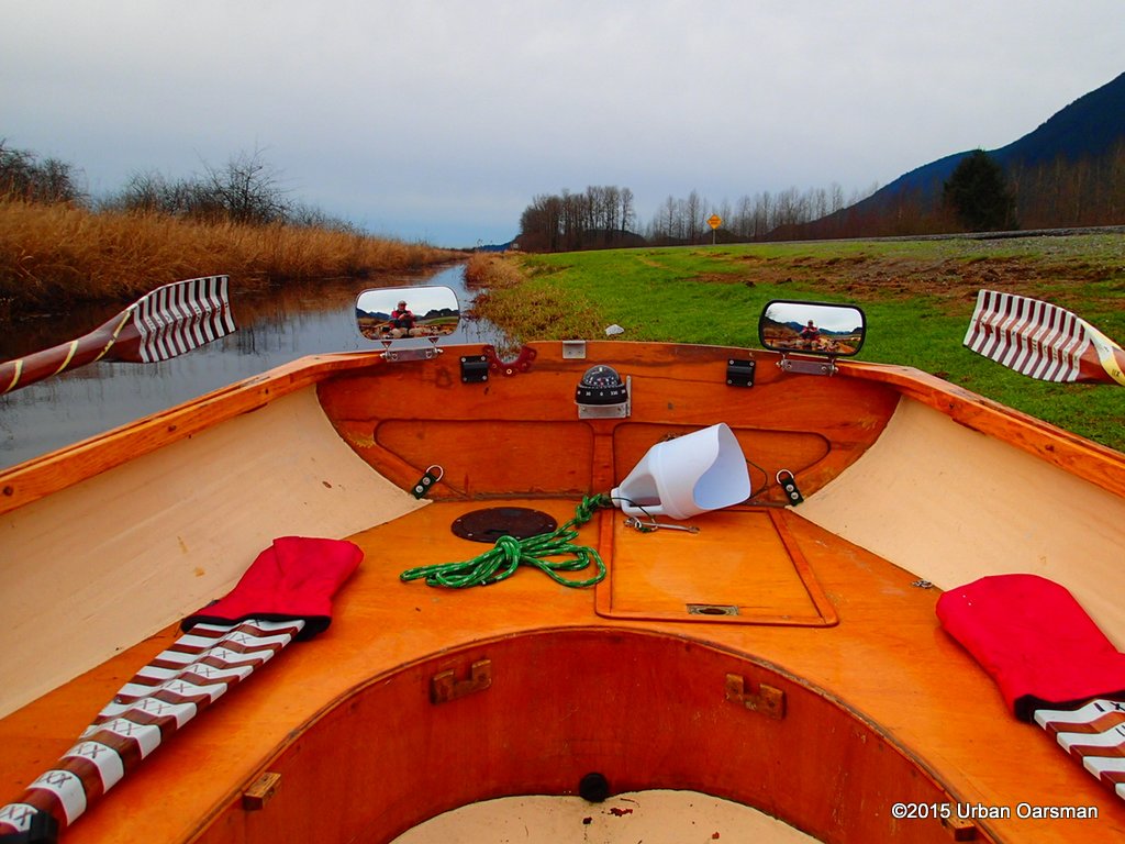 Looking South down Rainne Road. These are my new “front-view” mirrors.
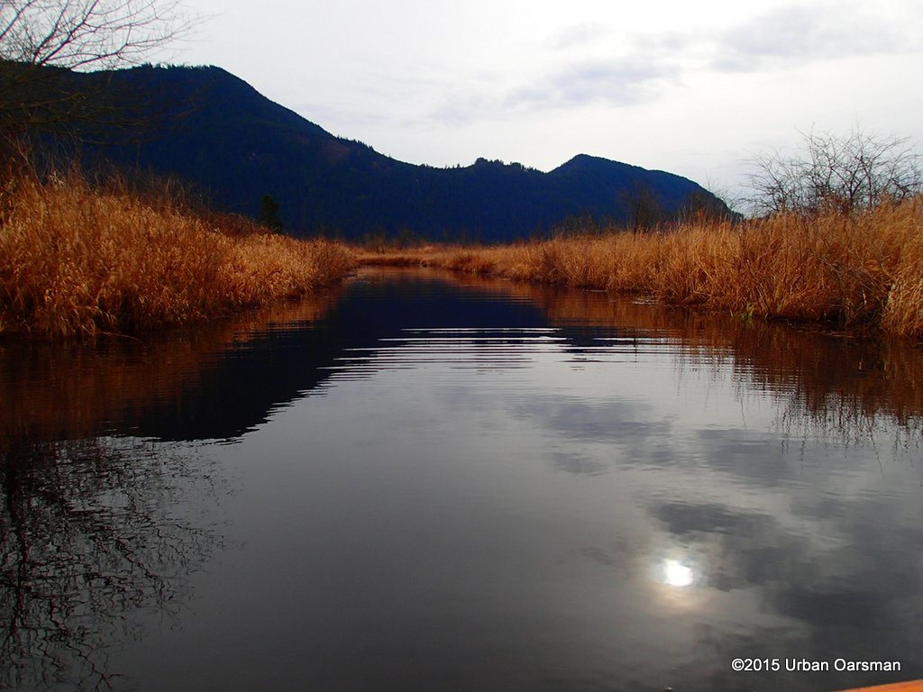 The channel that goes to Catbird Slough. (West).
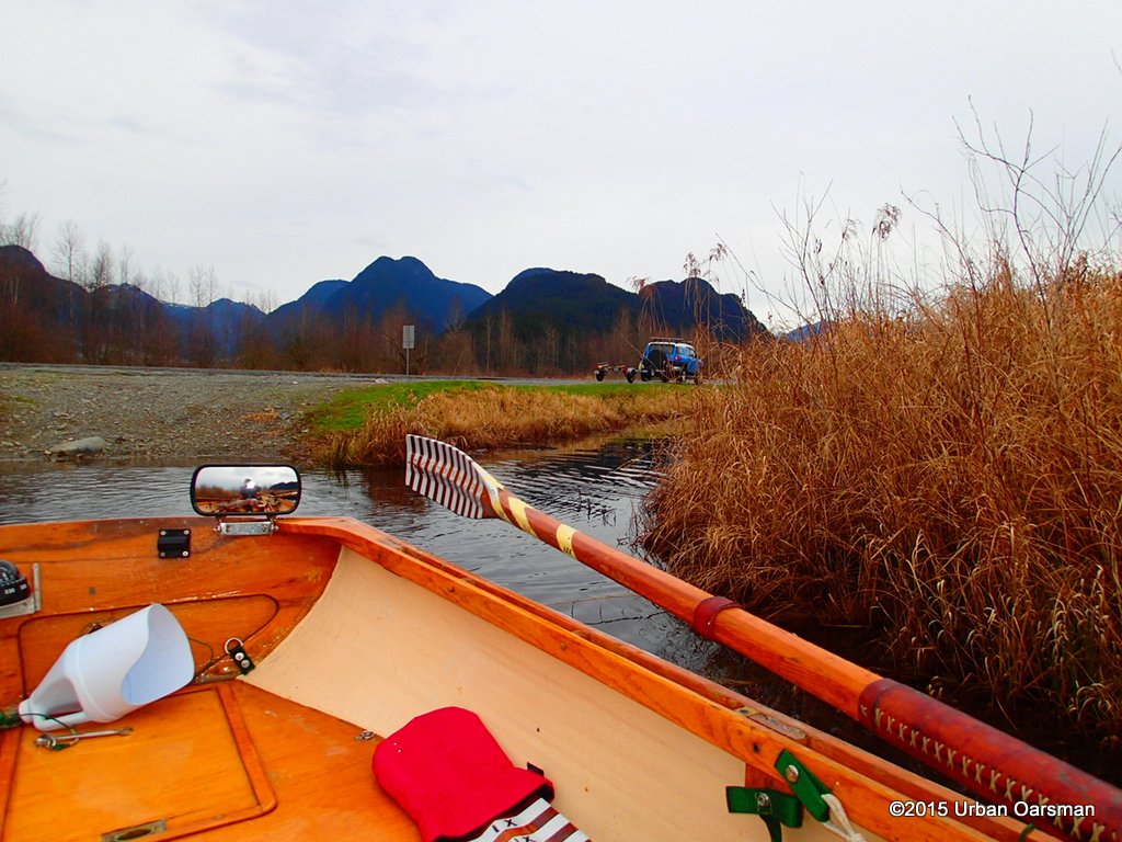 Rowing Gwragedd Annwn West up the channel.
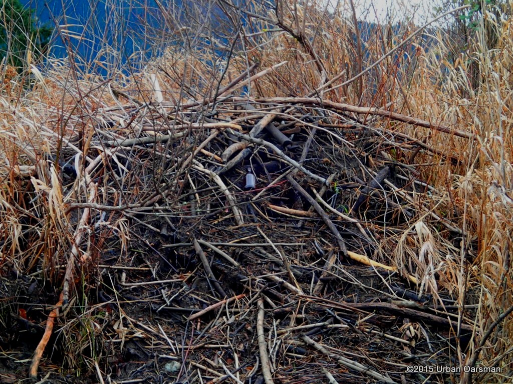 A short distance from the road there is a beaver lodge. It looks as if the beaver had a beer when he finished it.
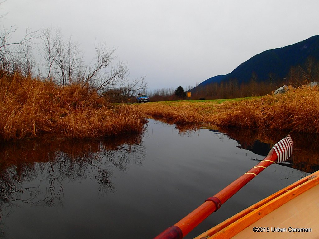 The channel has a branch that goes north and connects to the Rannie Road ditch a little past the FJ.
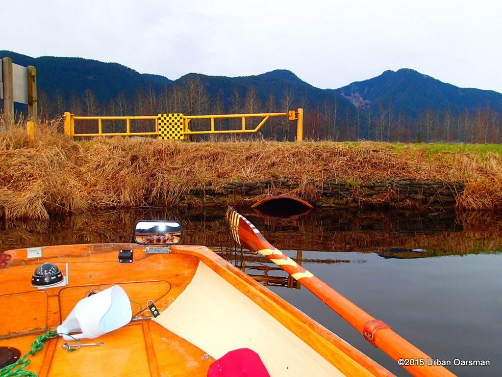 There is an outflow to the Pitt River here.
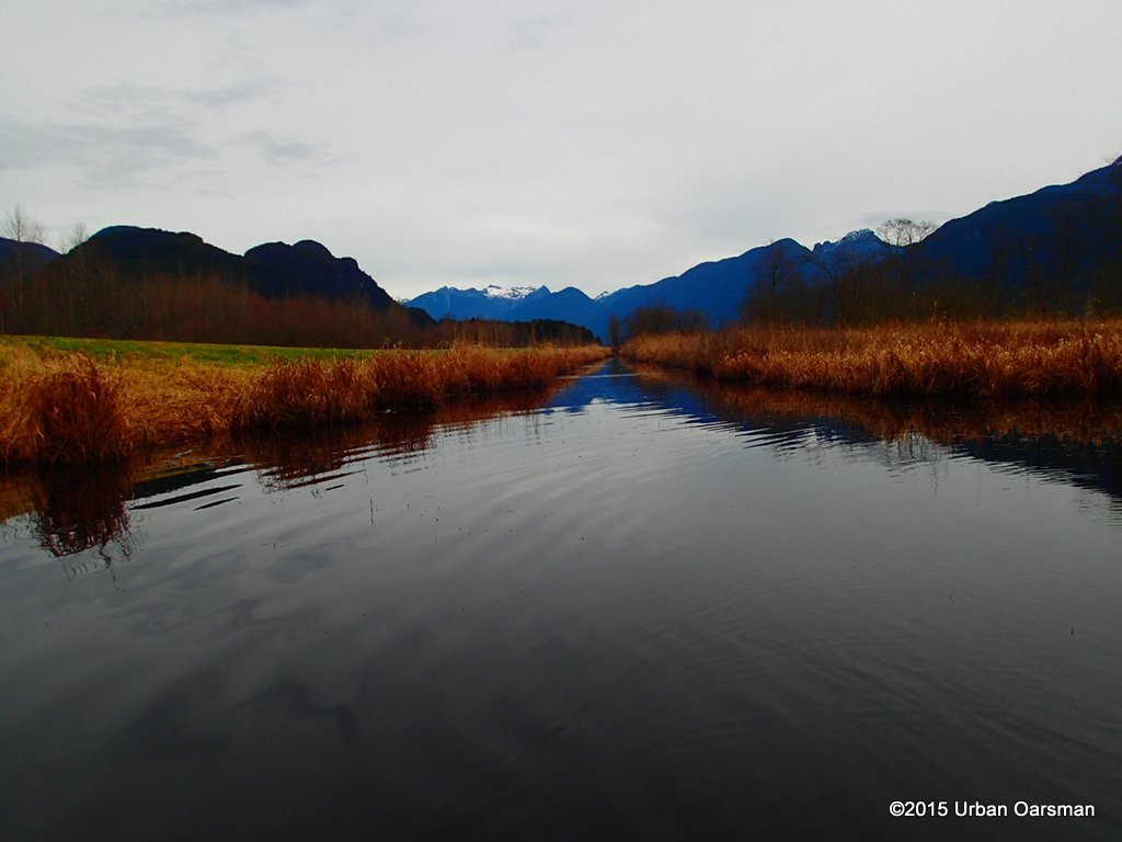 Looking North up the Rannie Road ditch. Acording to the maps it connects with the Marsh at Grant Narrows.
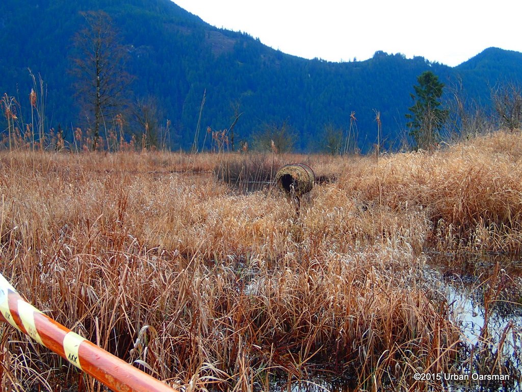 Rowing in I see a unique bird’s nest. It is a round tube of straw in a holder.
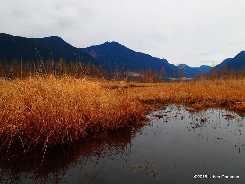 All of the reeds are brown. They line the channels. I turn down Catbird Slough.
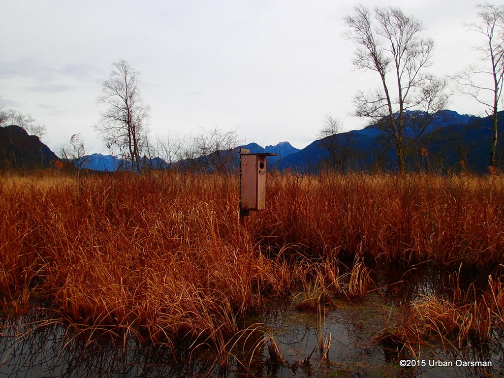 A more normal looking bird house.
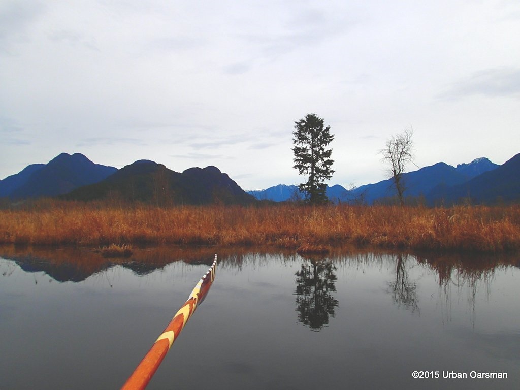 A lone Douglas Fir overlooks the marsh.
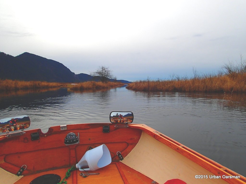 Catbird Slough widens. It is the straight channel behind the mirror.
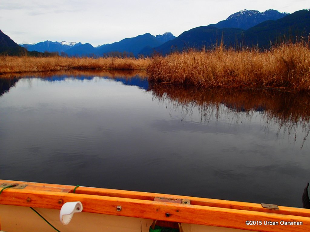 The water is over 5′ deep here. I cannot see the bottom. I keep the shore to my Starboard and explore.
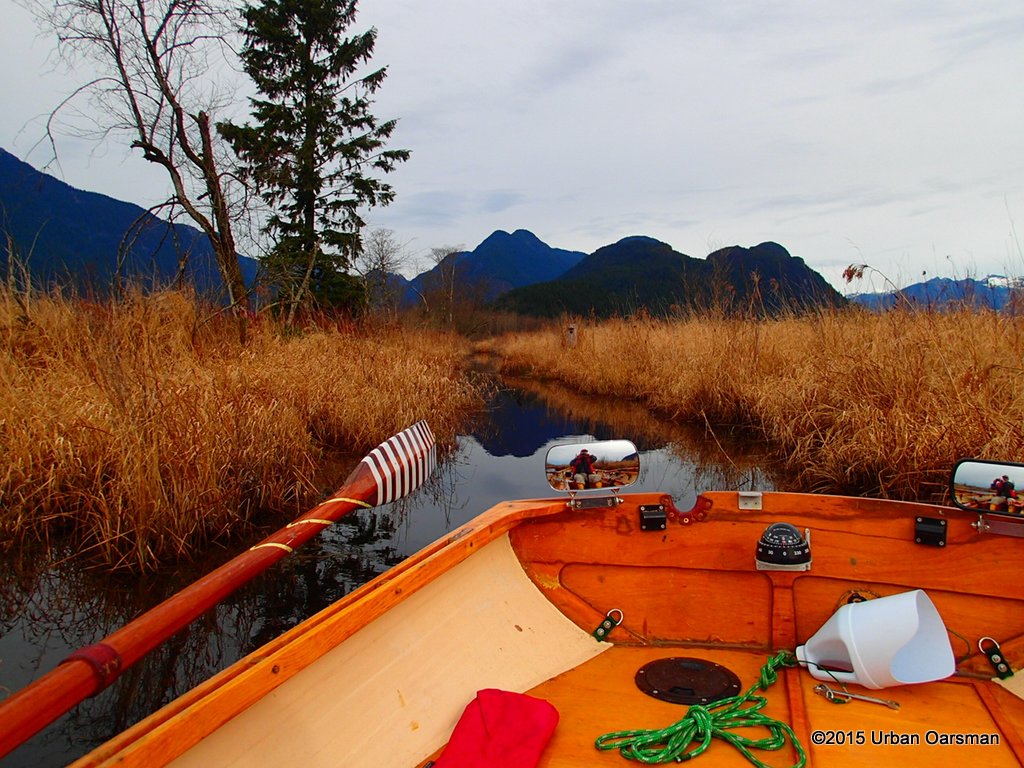 A side channel leads off to the North.
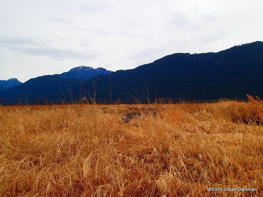 It does not go far. I can see other channels close by, but, they do not connect.
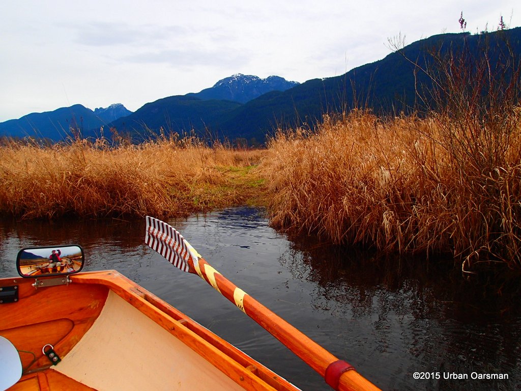 A short portage to another pond? I pass it by.
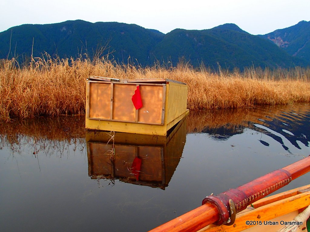 I have no idea what this is. it is floating a short way up a side channel.
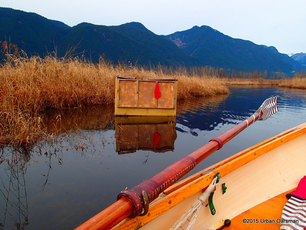 Maybe it is a bird-hunting blind?
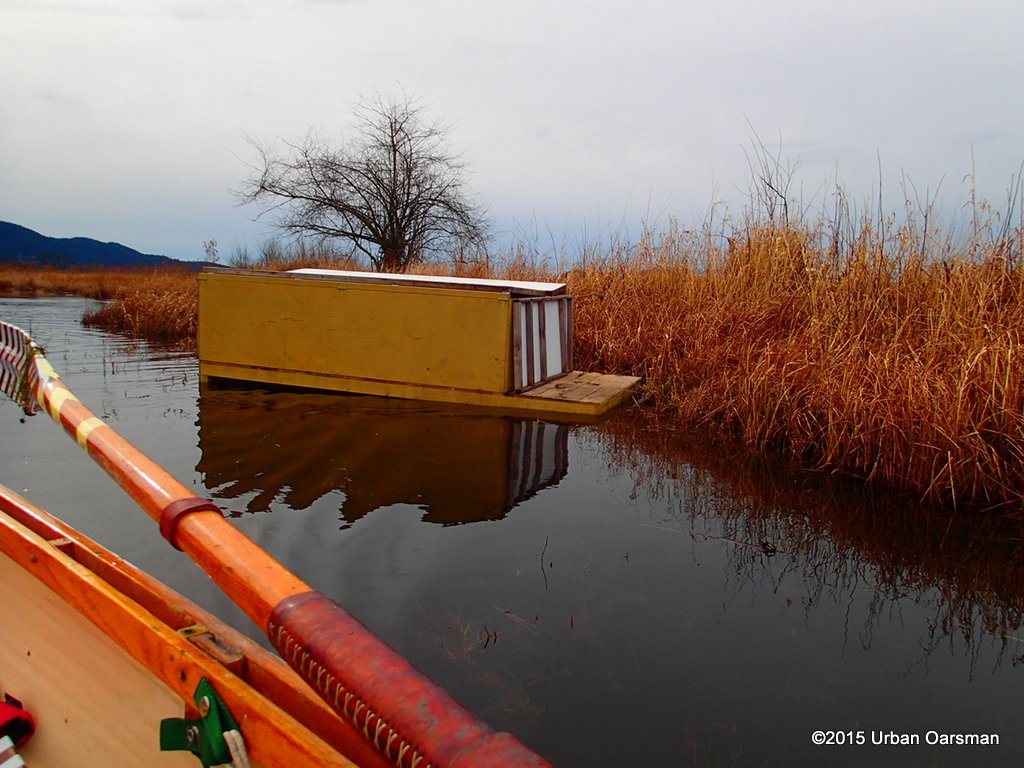 I leave the mystery craft and row on.
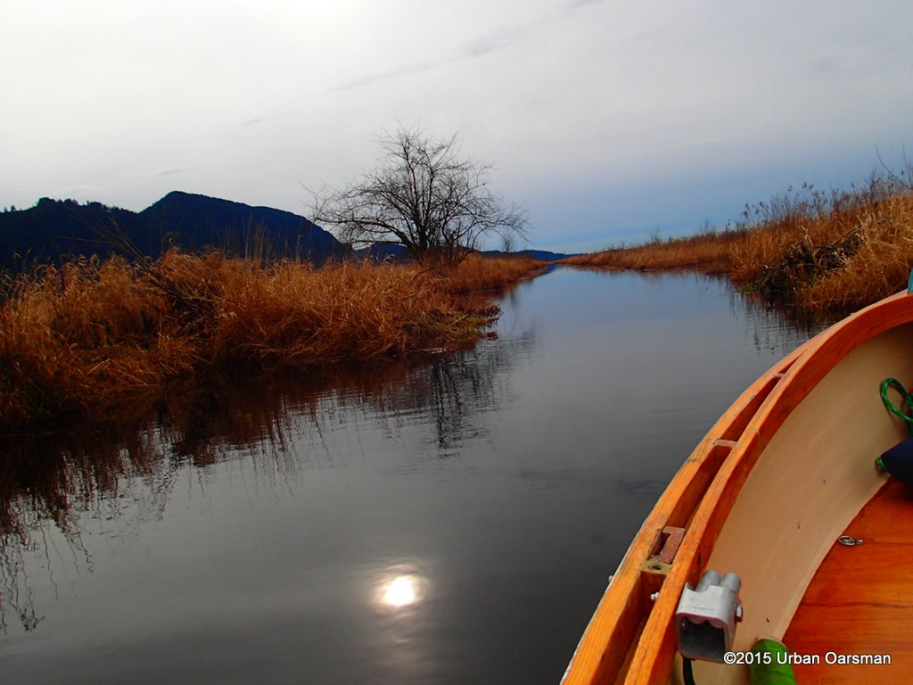 Looking South, down Catbird Slough.
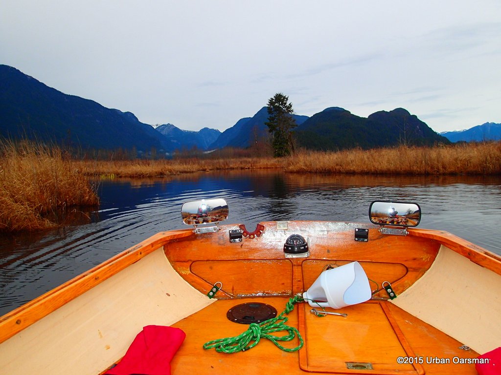 The lonley Douglas Fir is a landmark.
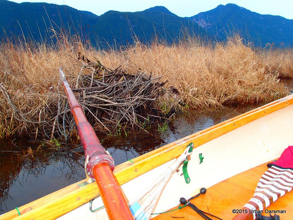 A beaver lodge on the bank.
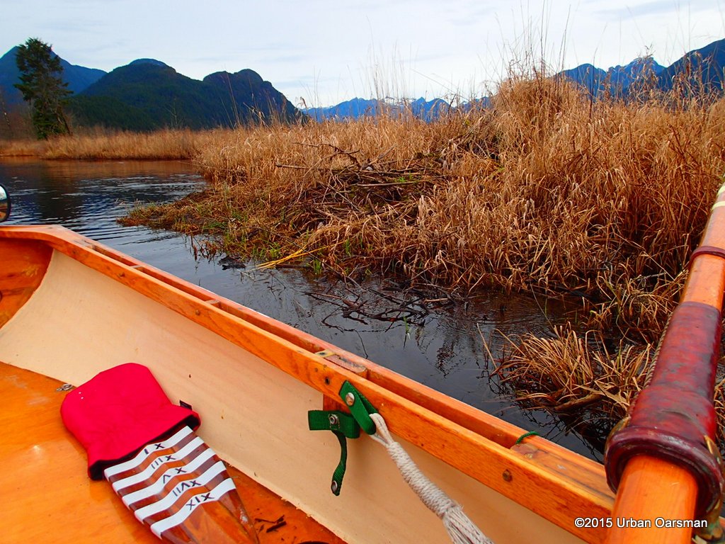 I pass the beaver lodge by.
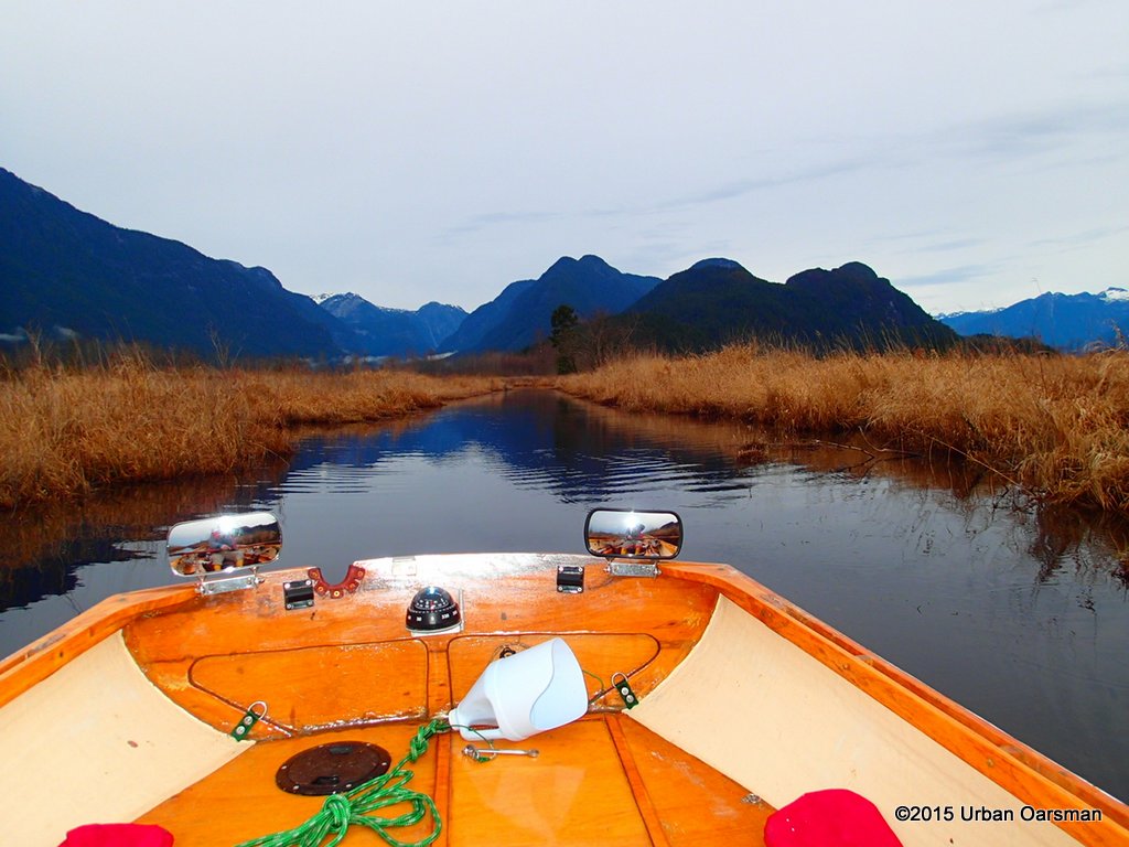 Looking North up Catbird Slough. The Douglas Fir is still visible.
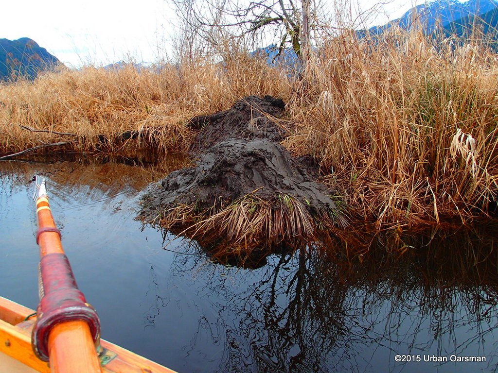 I do not know what these mud mounds are for. Beavers getting mud for their lodges?
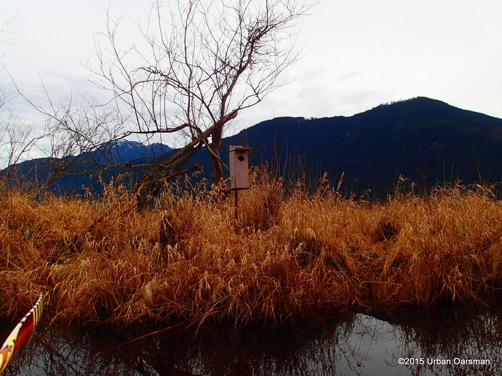 Another normal bird house.
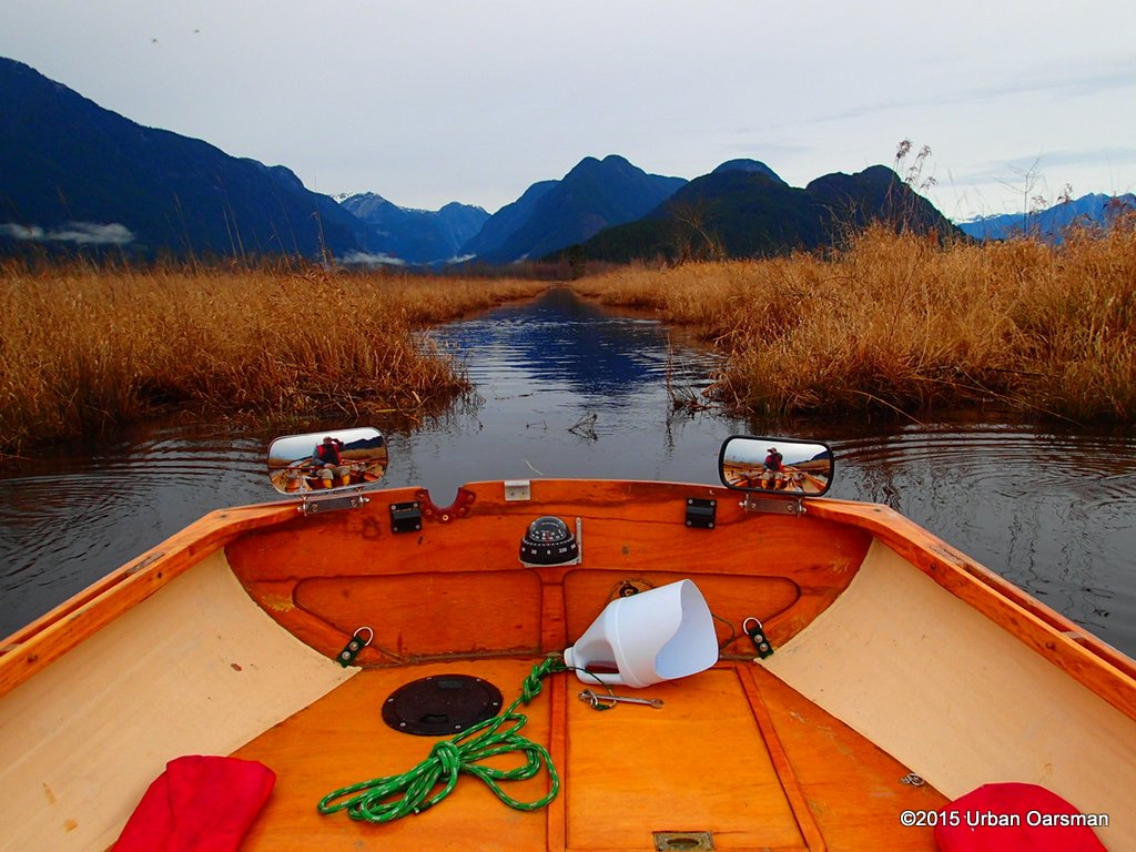 The slough begins to open up.
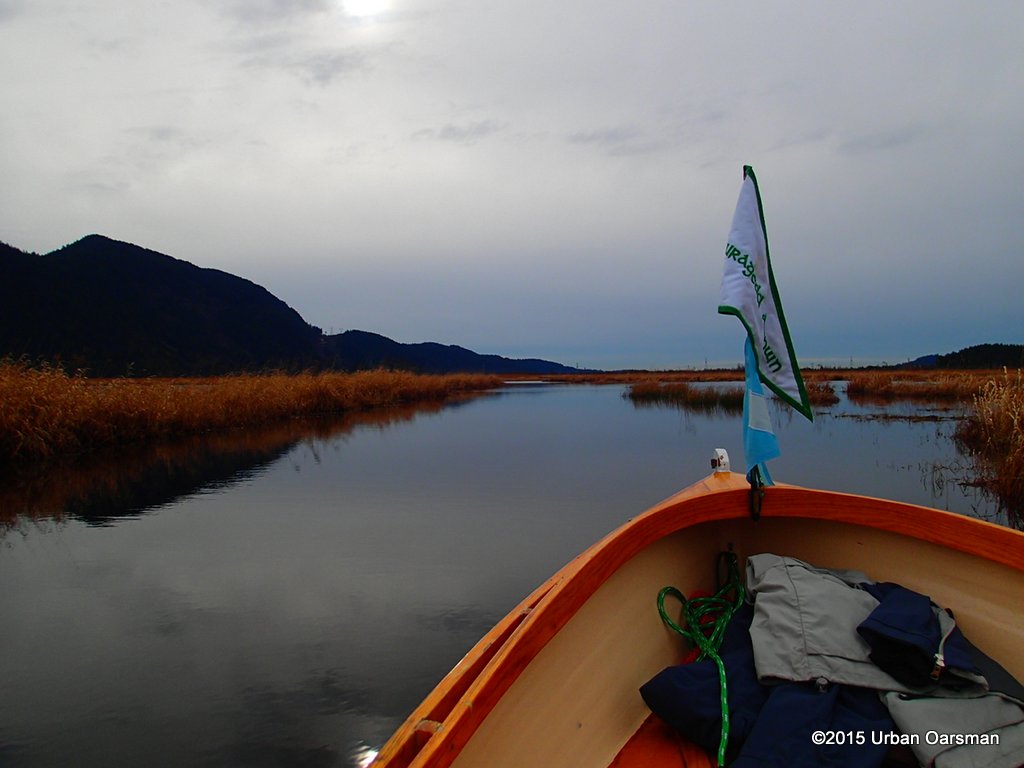 There is open water and I row South-East in the widest part.
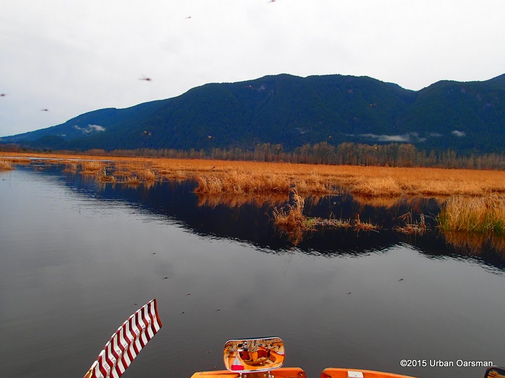 With no wind, it warms up and begins to get a little buggy
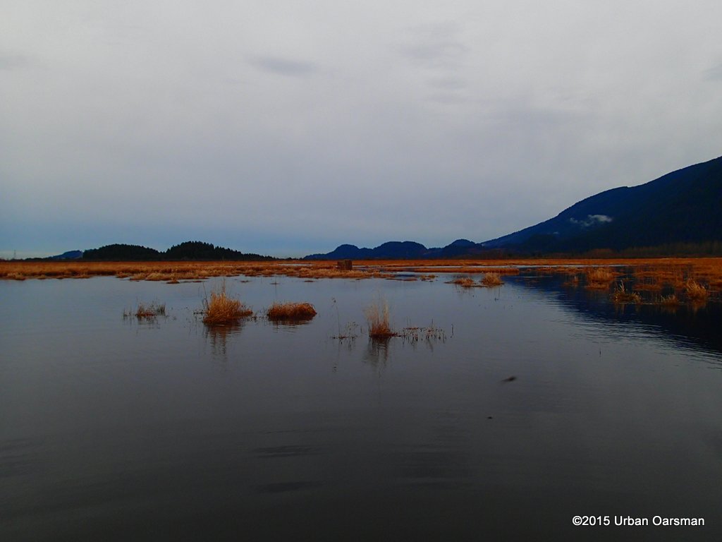 Another hunting blind?
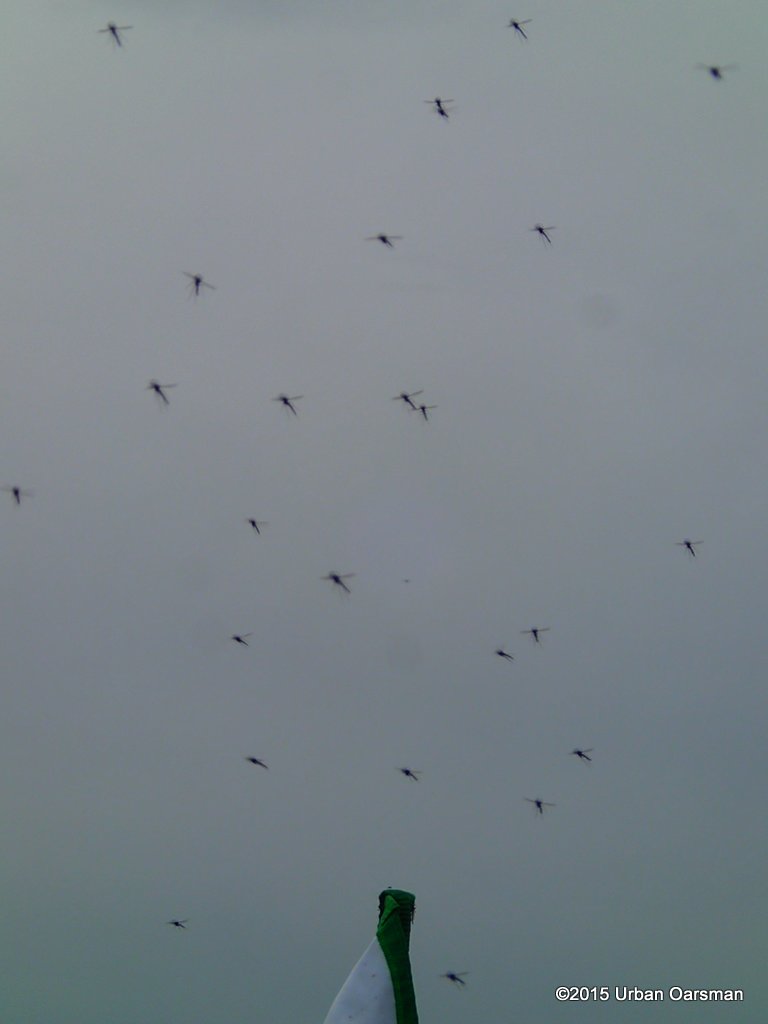 These were not biting mosquitos, but some sort of mayfly. They only caught up to me when I stopped rowing to take a picture.
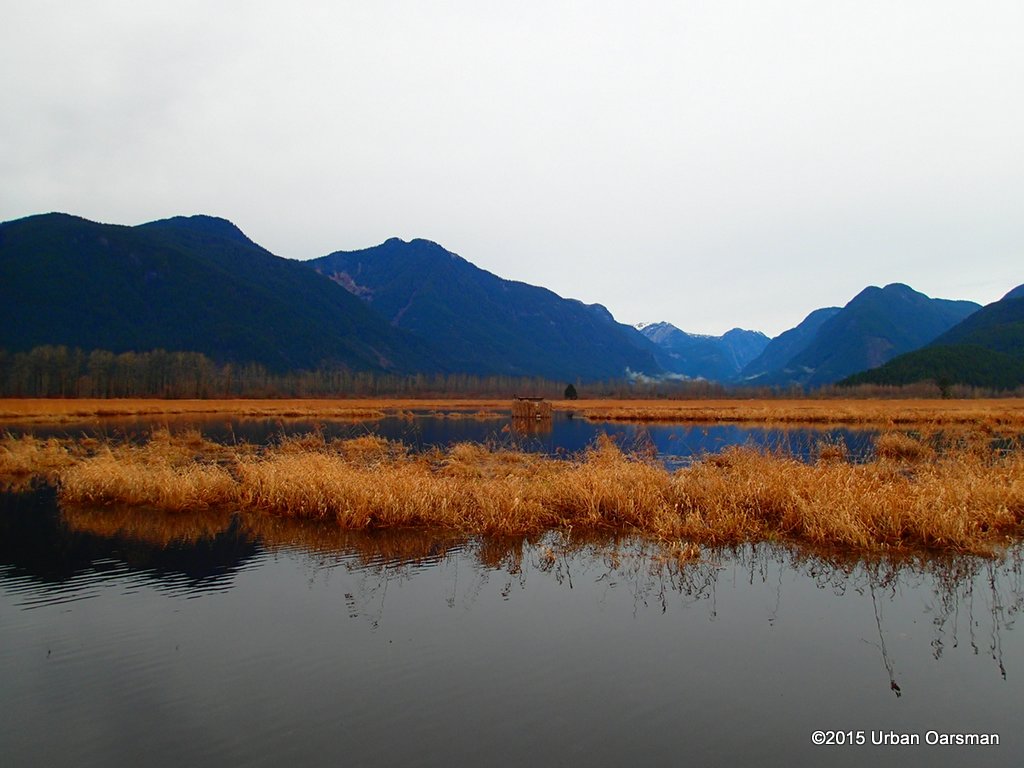 Another hunting blind.
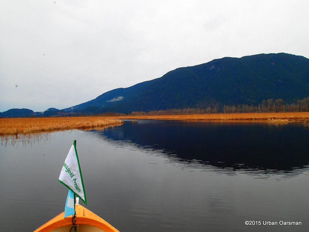 A view to the North-East. There seems to be more open water on the east side of the marsh.
 This is a landscape shot looking North.
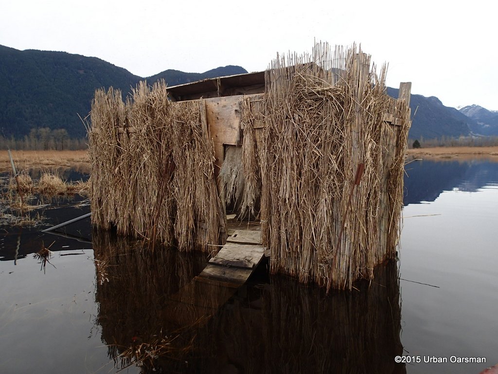 Close-up photo of the blind.
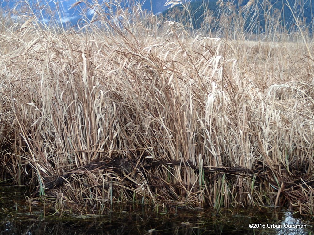 The scum line shows how high the water gets.
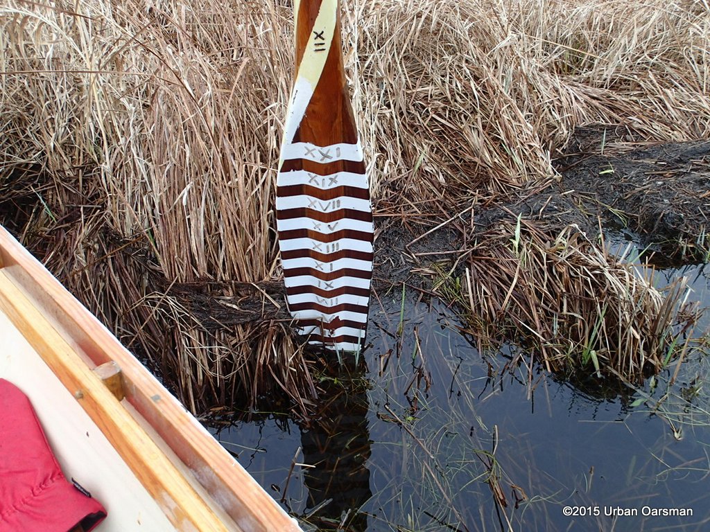 The depth-sounder oar indicates that the water gets about 10″ higher.
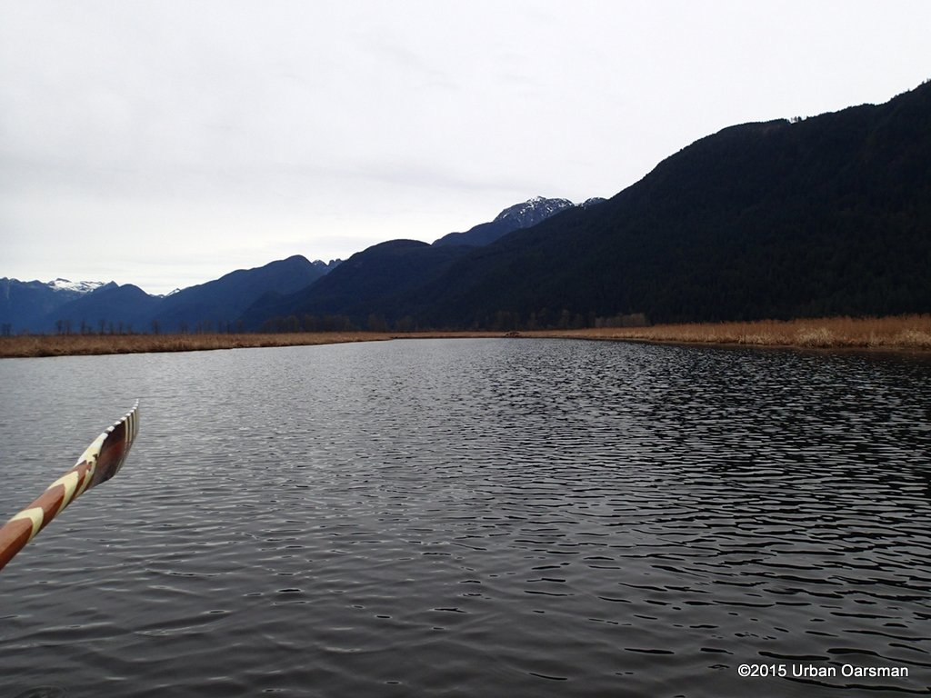 Here the channel widens and loops around to the East.
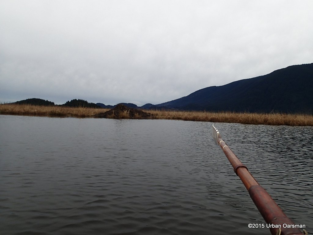 Another beaver lodge. The highestone yet.
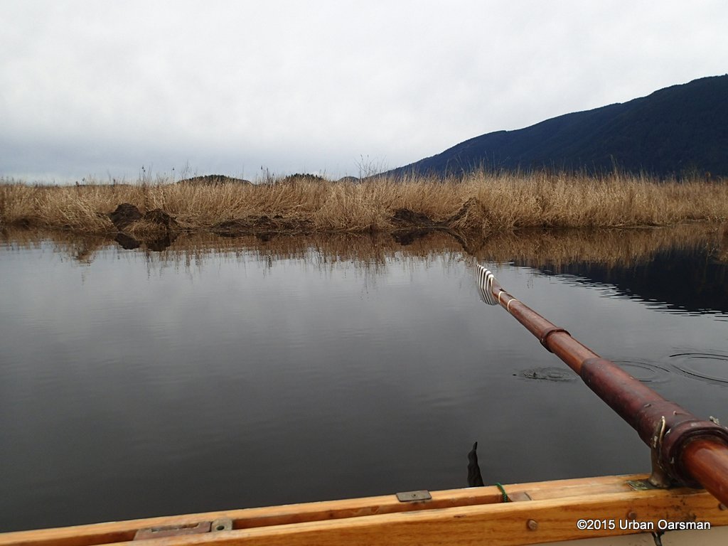 More mystery mud mounds.
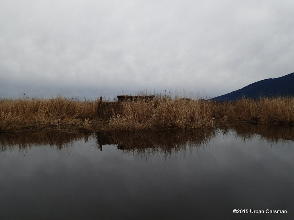 Another hunting blind. I began to notice spent shotgun shells in the water near the shore.
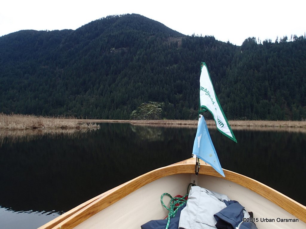 The Eastern shore of the marsh. The entire marsh is dyked.
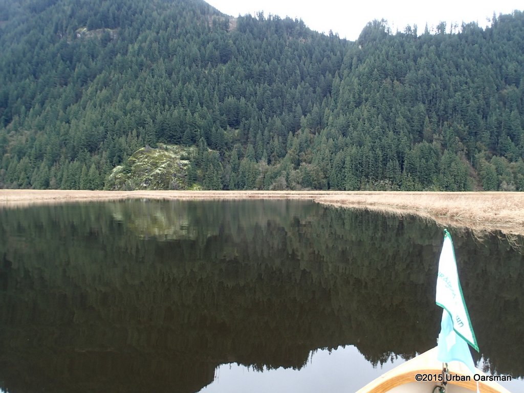 Getting closer to the Eastern shore.
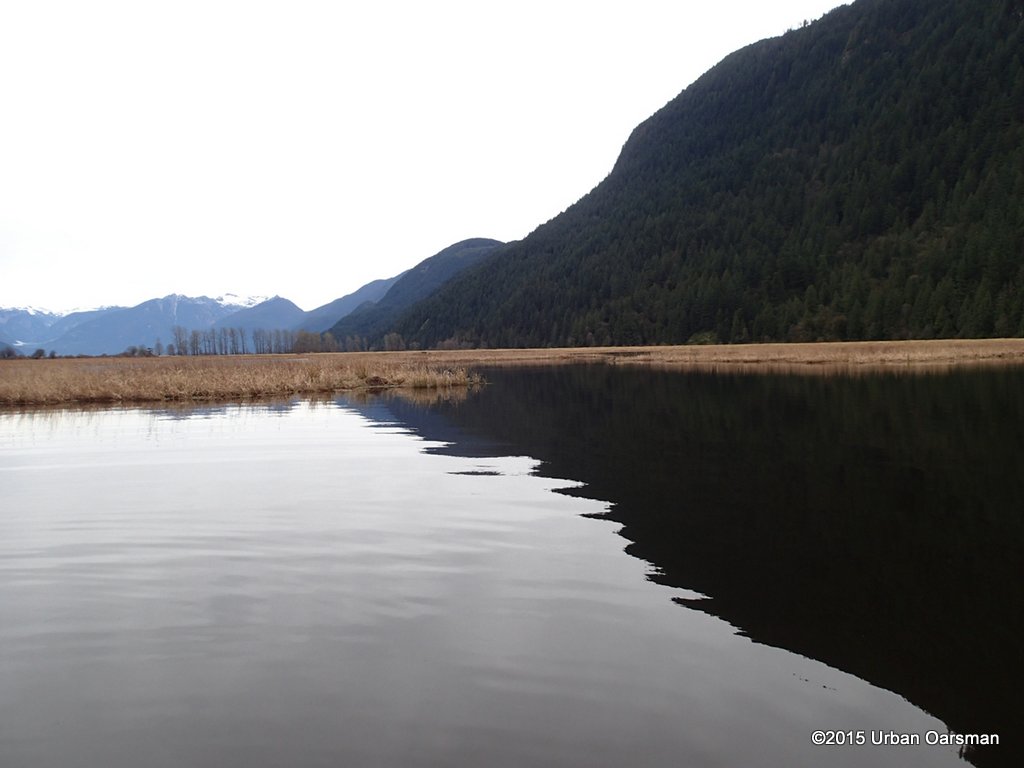 The channel splits, one branch going North, the other South along the dyke.
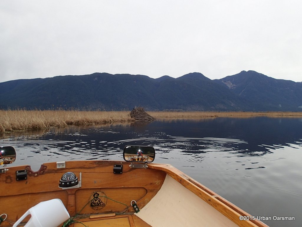 I head South. Another Beaver lodge.
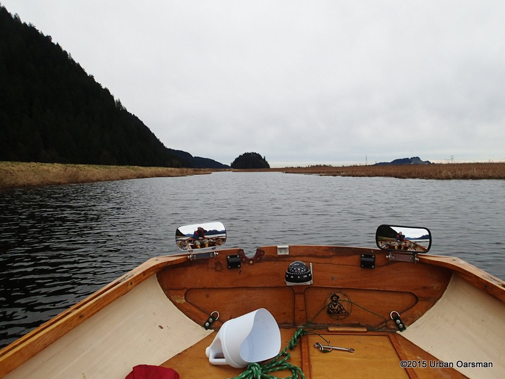 The end of the line. There is a dyke between Pitt Marsh and Homilk’um Marsh to the South-East and the Pitt-Addington to the South-West.
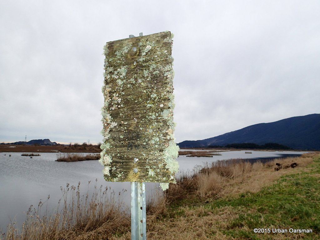 I am sure this sign reads “Oarsmen only”.
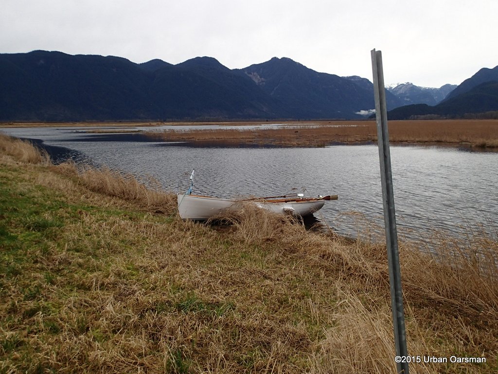 Gwragedd Annwn on the dyke between Pitt Marsh and Homilk’um Marsh.
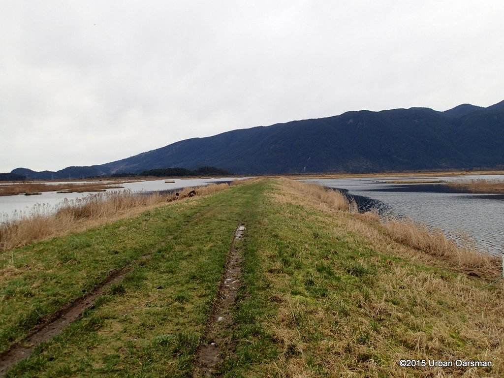 This photo looks to the East. To the right (North) is Pitt Marsh, to the left (South) Homilk’um Marsh with the Pitt-Addington Marsh in the background.
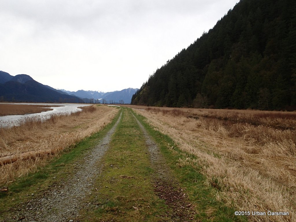 The dyke runs North between the marsh and the mountains.
 A 180° picture of the Pitt Marsh.
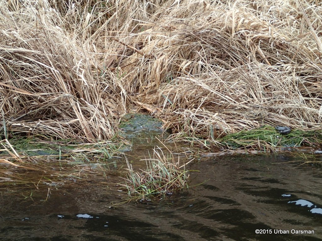 As I row North along the dyke, I spot a frog
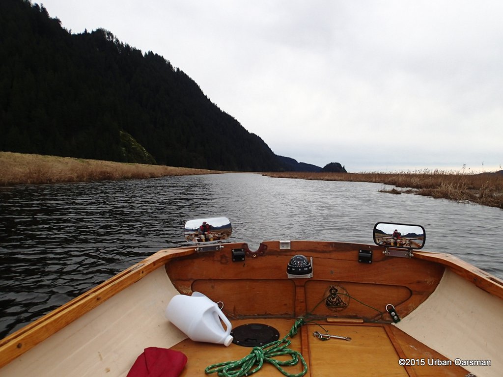 The wind is beginning to pick up.
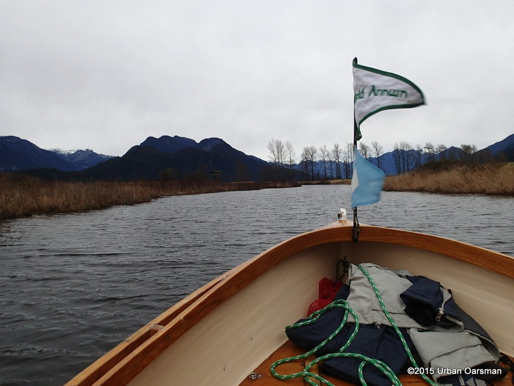 Coming up to the North end of the marsh.
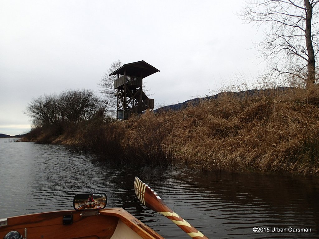 You can reach this obseveration tower by walking up the Pitt River dyke from the Grant Narrows boat launch.
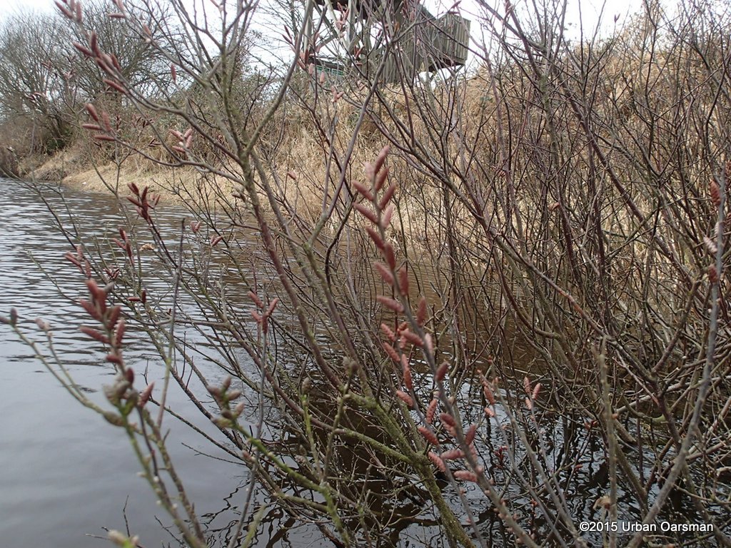 Swamp willows? It is always hard to tell in the early spring.
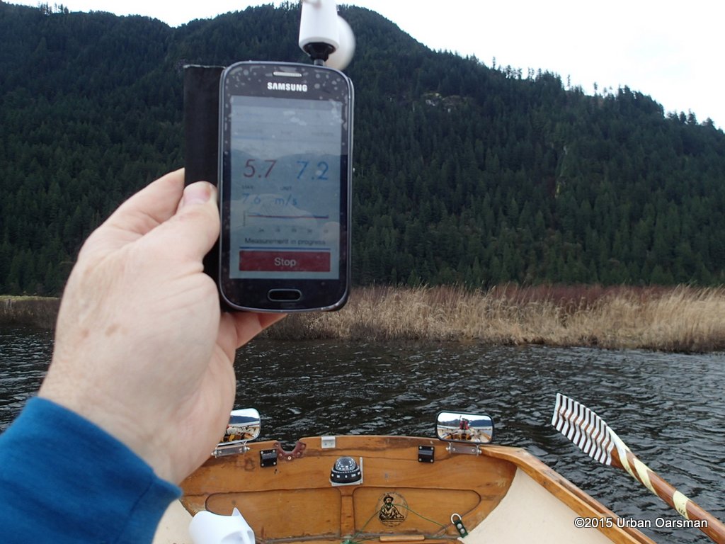 My wind meter shows 7.2 meters per second, a little over 25km/hr. Pretty windy.
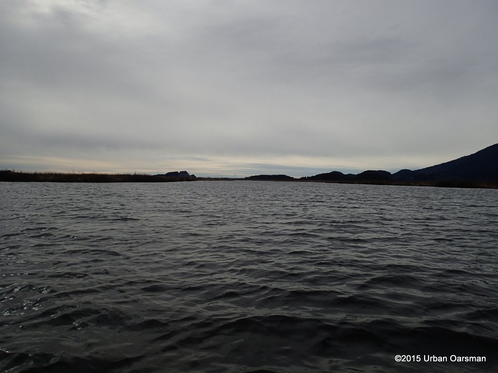 There is a big open patch in the middle of the marsh
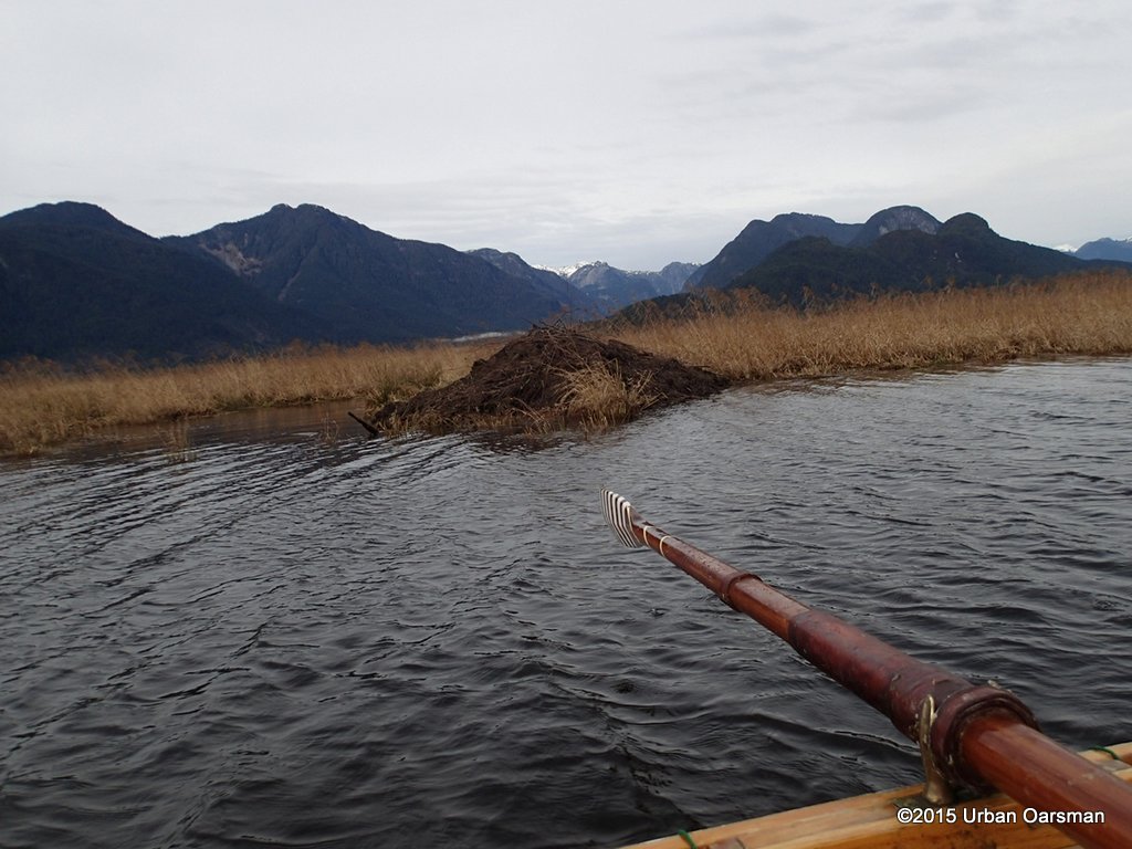 Another beaver mound. a little less high than most.
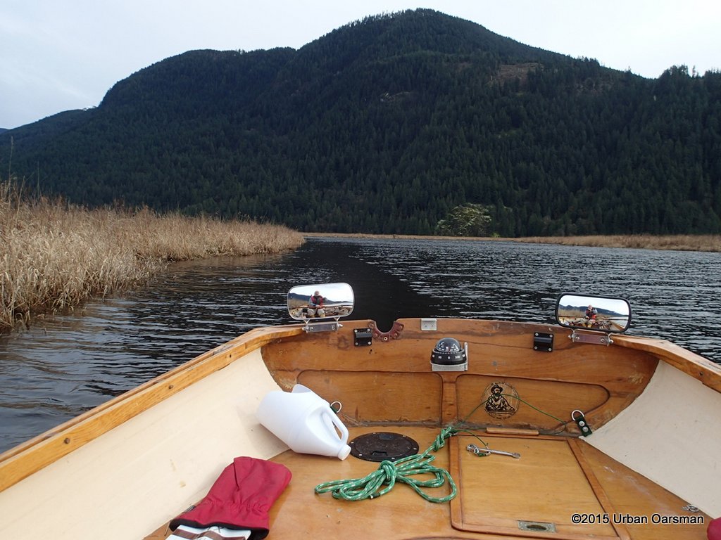 There is a small wind shadow beside the reeds.
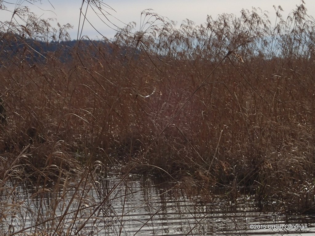 I notice that the reeds are still. The wind has let up.
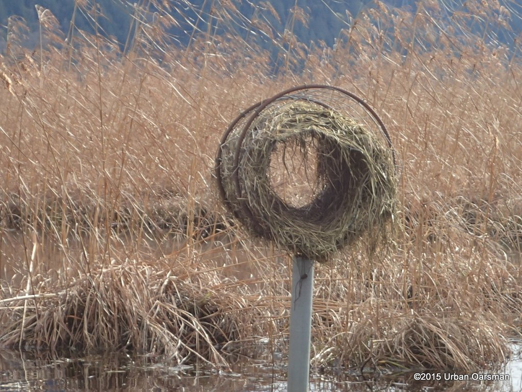 Another one of those round straw birds nests. I have seen them called Mallard Duck nesting tubes.
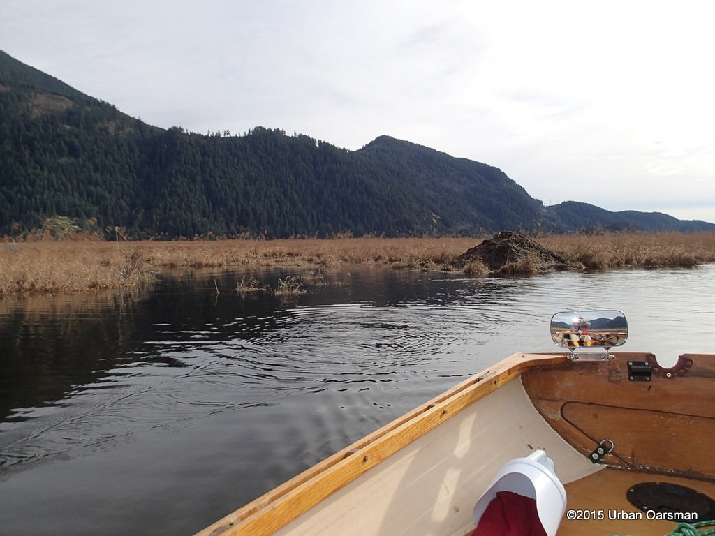 Another beaver lodge.
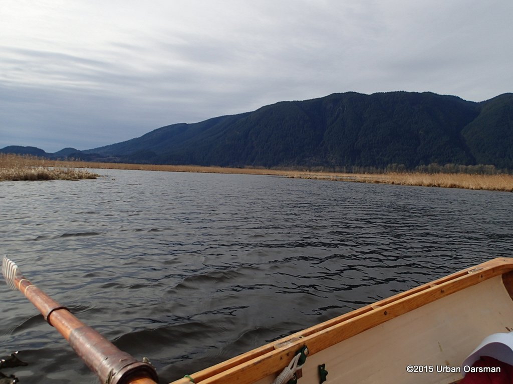 I am ghosting down the middle open area. This photo looks to the South-West.
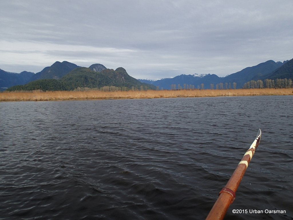 Looking to the North. The trees are along the Pitt River Dyke, above Grant Narrows. The obseveration tower is to the right, out of frame.
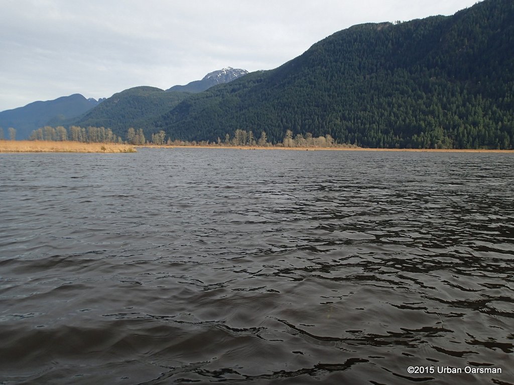 Looking North-East.
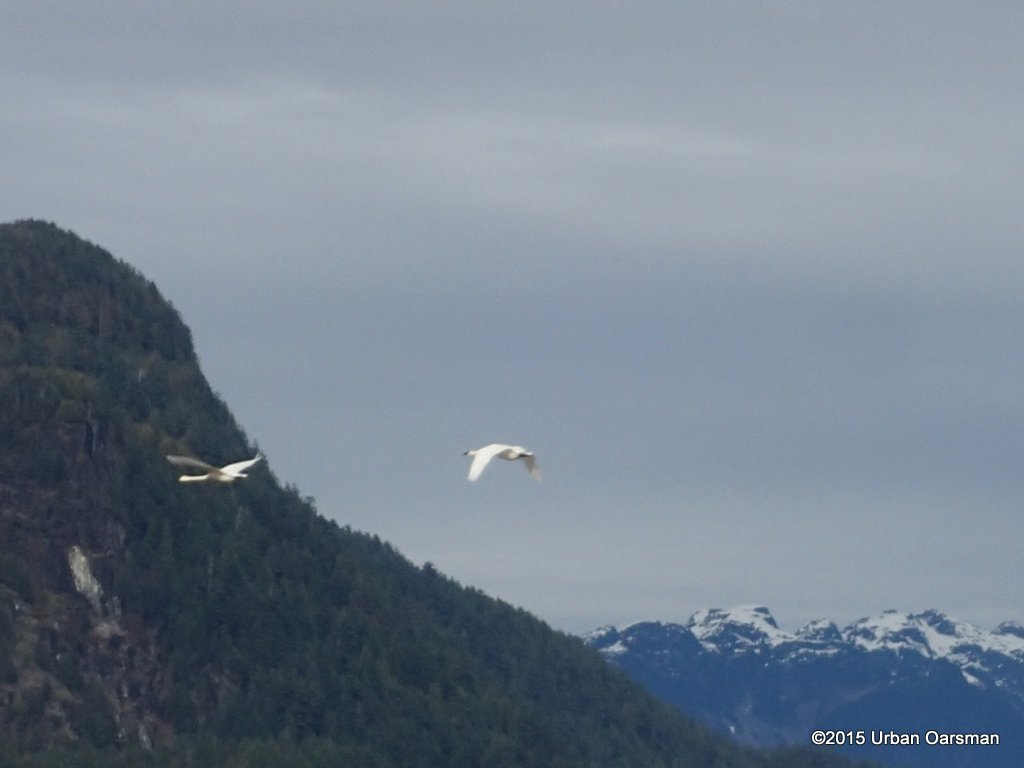 Snow geese take off.
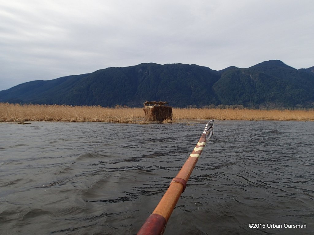 Another blind.
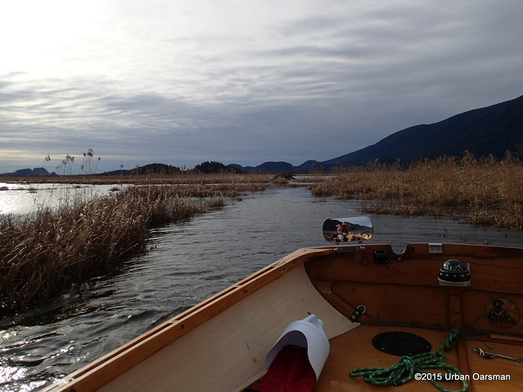 Starting up Catbird Slough.
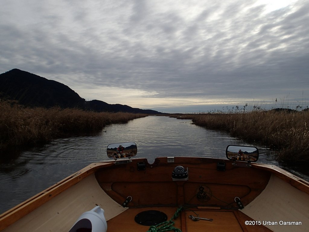 Still rowing up Catbird Slough.
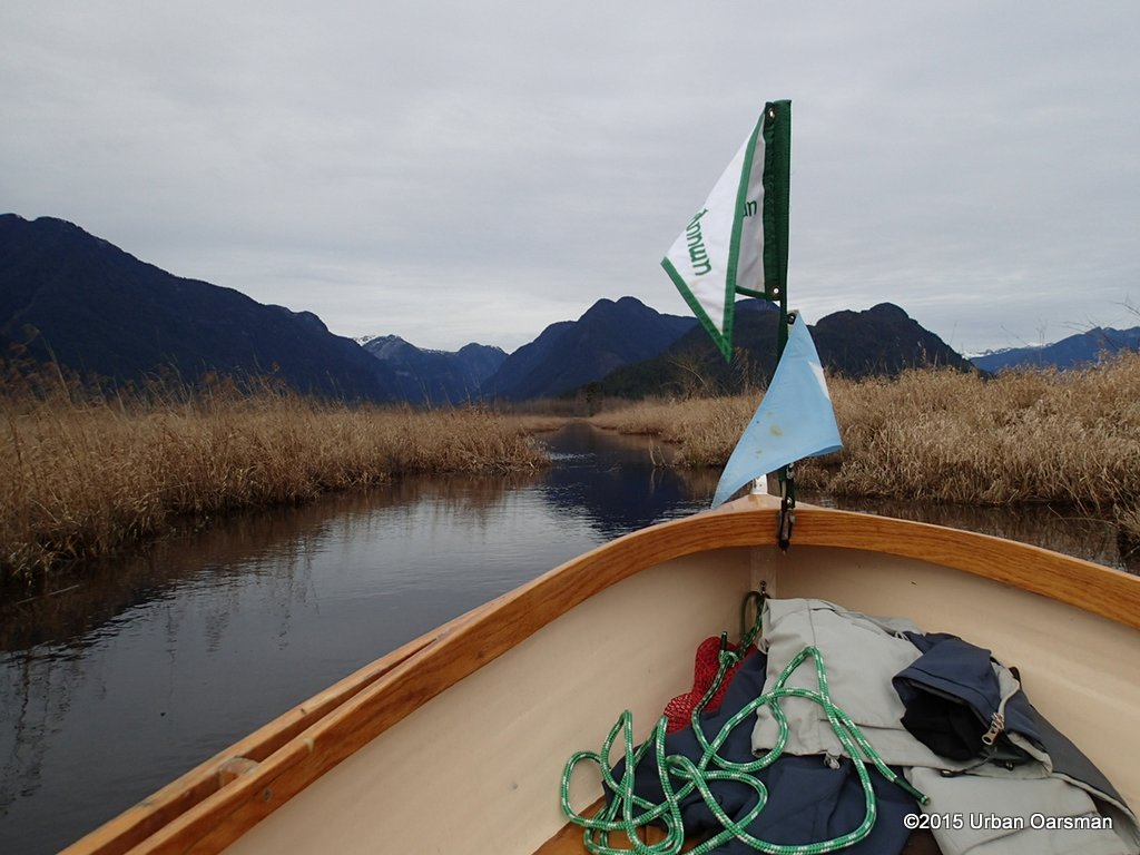 The way ahead (North).
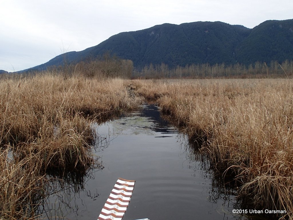 Side Trip! This channel should take me to Rannie Road. I work my way up the channel stern first.
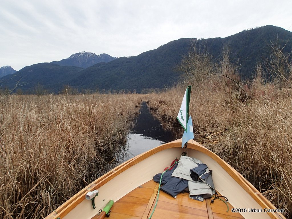 Looking back towards Catbird Slough.
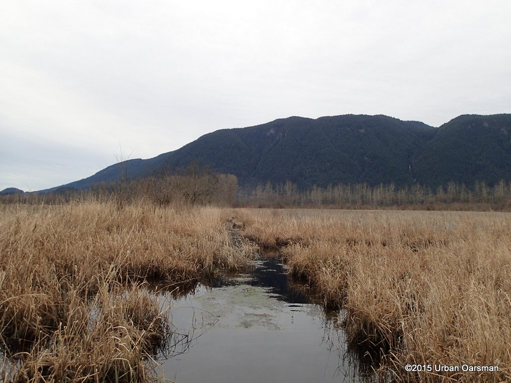 The row of trees is along Rannie Road, but just a little further along, the channel is blocked and I cannot get past the shallow spot.
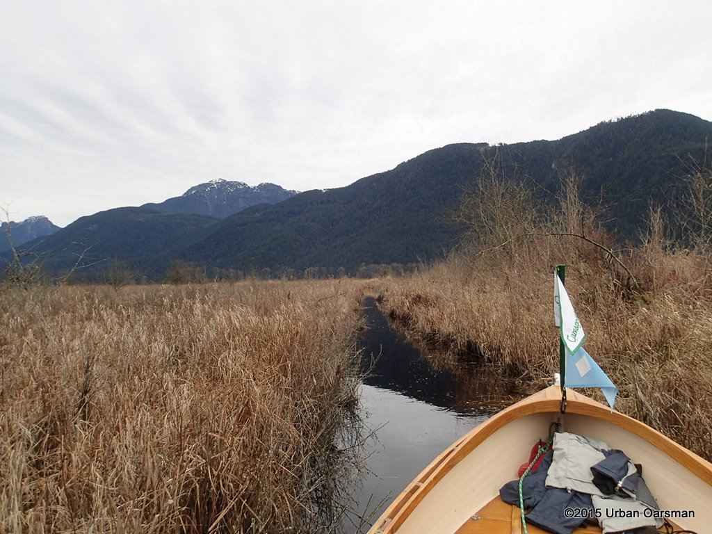 The way back.
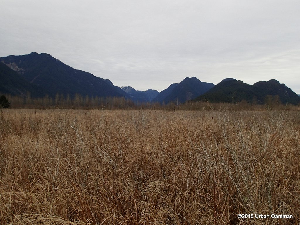 A sea of reeds.
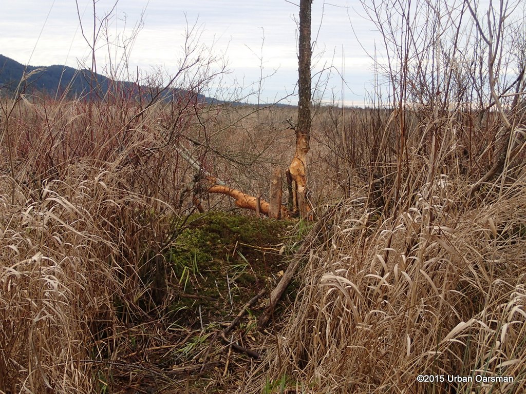 The work of beavers has halted my progress.
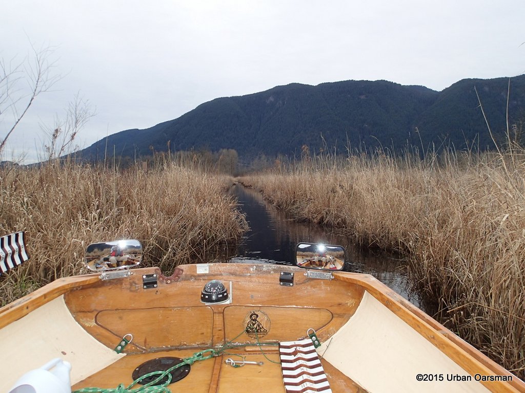 I work my way back to Catbird Slough.
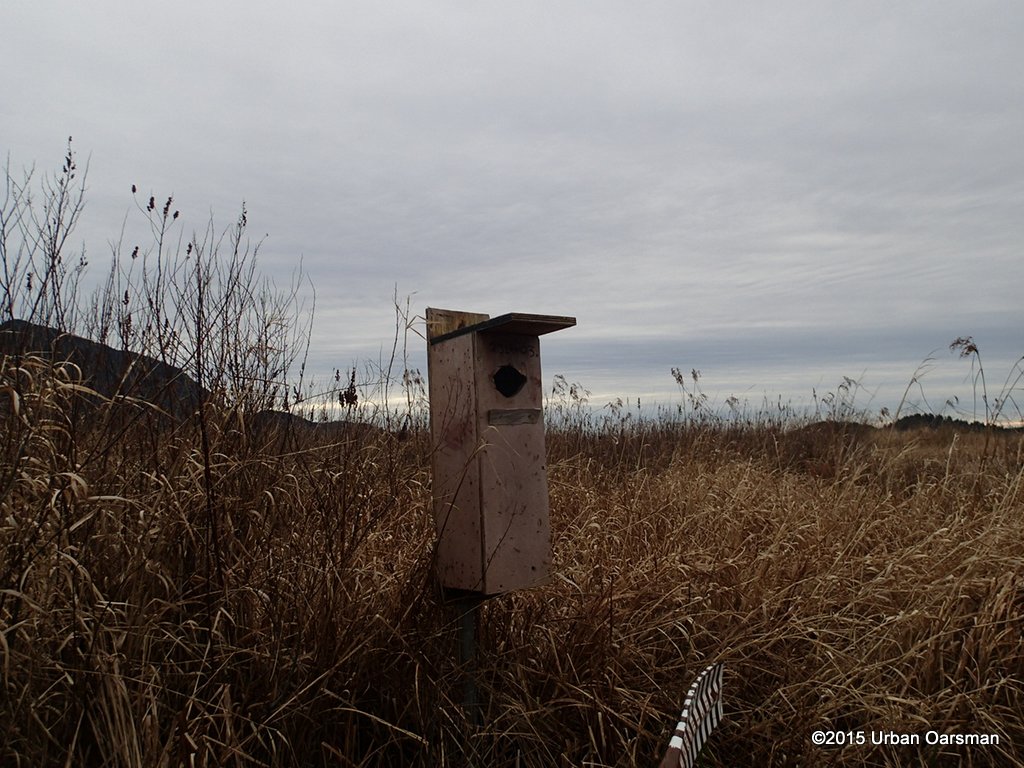 Another average nesting box beside a new side channel. Let us have a look.
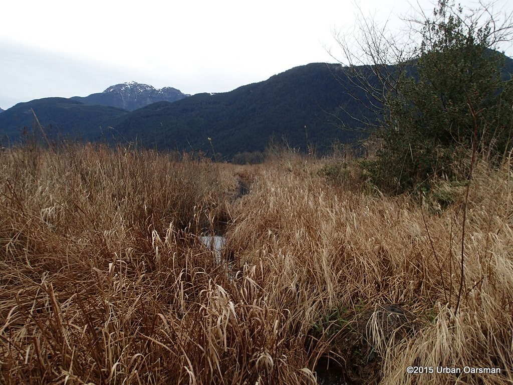 It quickly narrows and I do not think that I will even try this one. OK, maybe a little further.
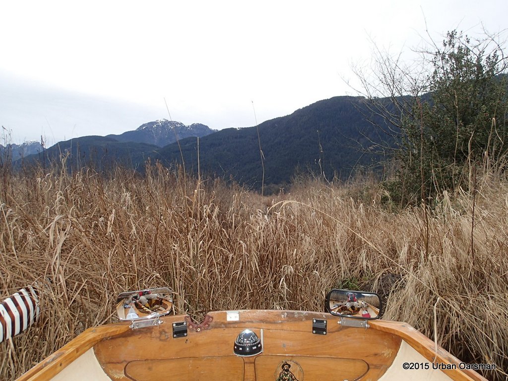 A little further, the end of a side channel again.
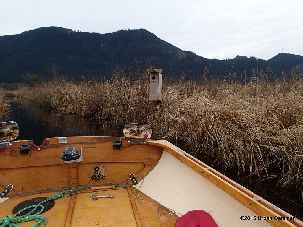 I pass the nesting box again on my way out.
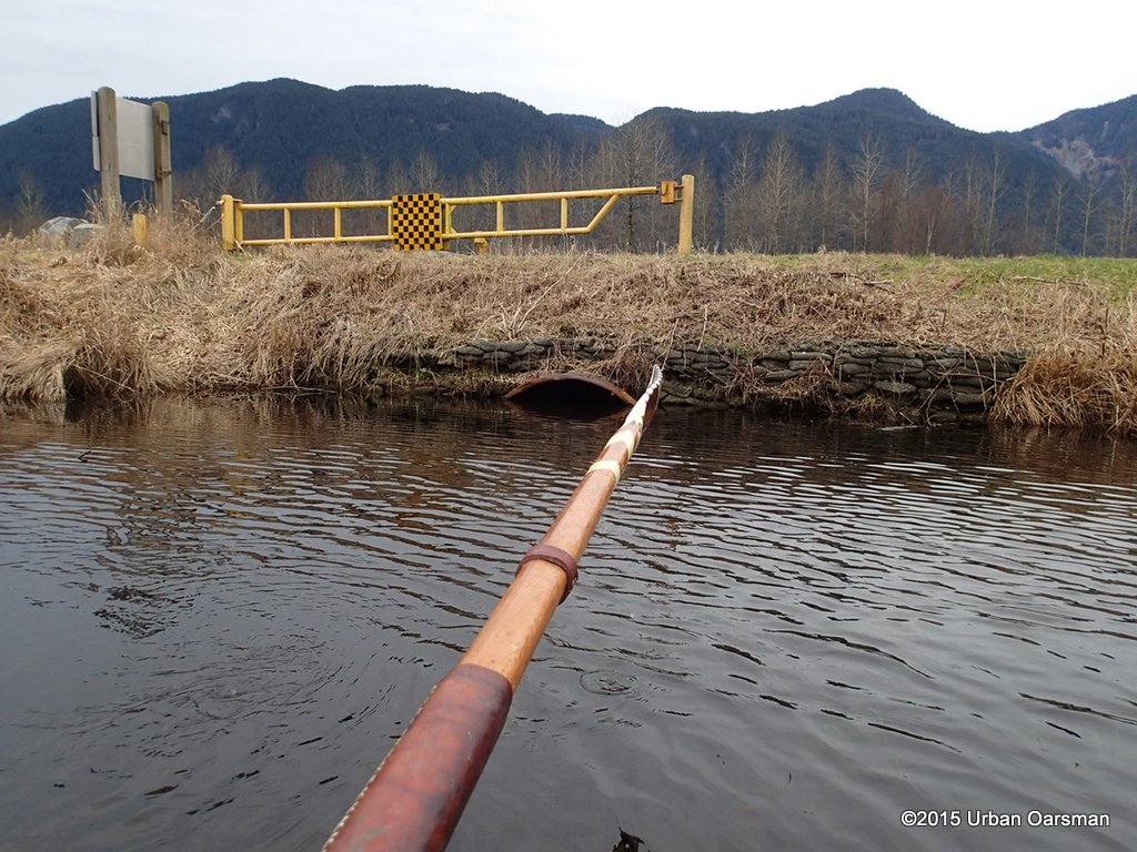 I row to the outflow pipe again. The water level has not changed much, if at all.
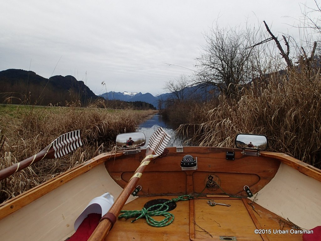 I try rowing along Rannie Road.
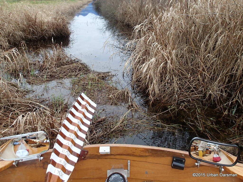 The channel/ditch could use a little digging out.
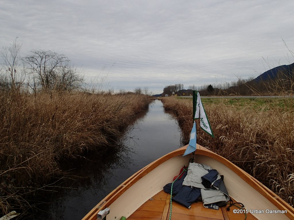 I row back to the FJ in the distance.
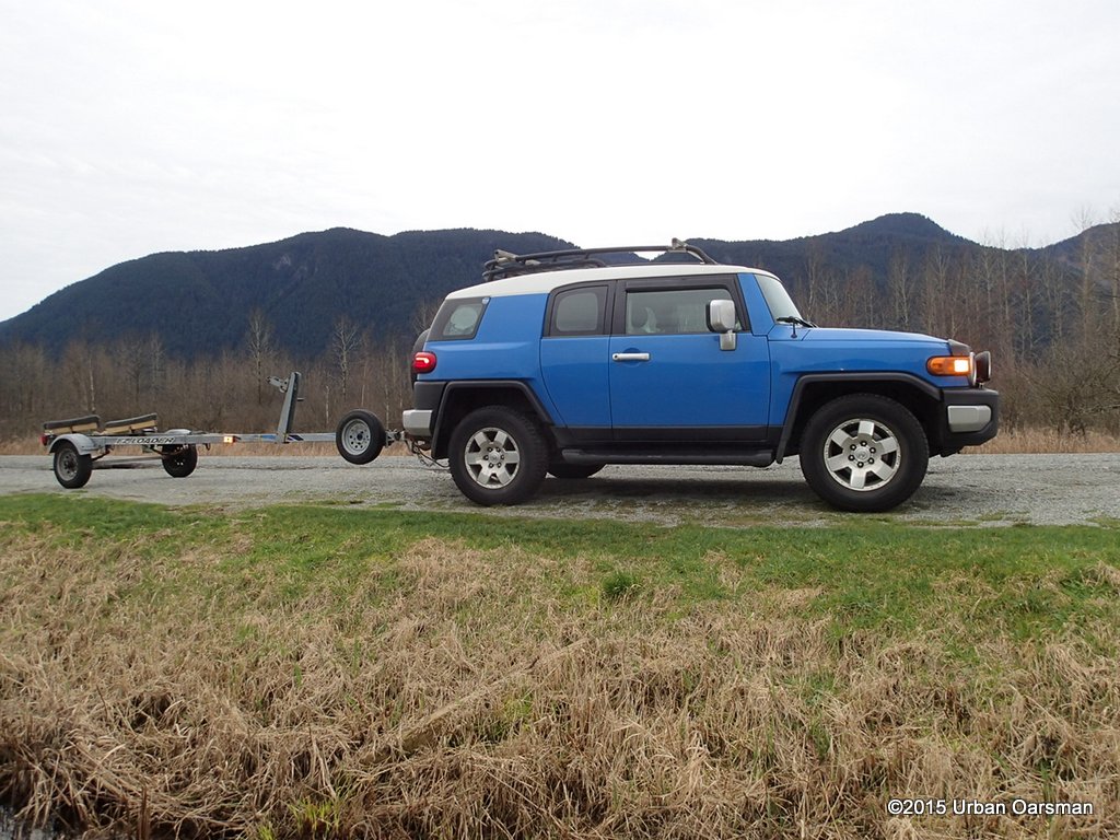 In a few more minutes I will be back at the launching point.
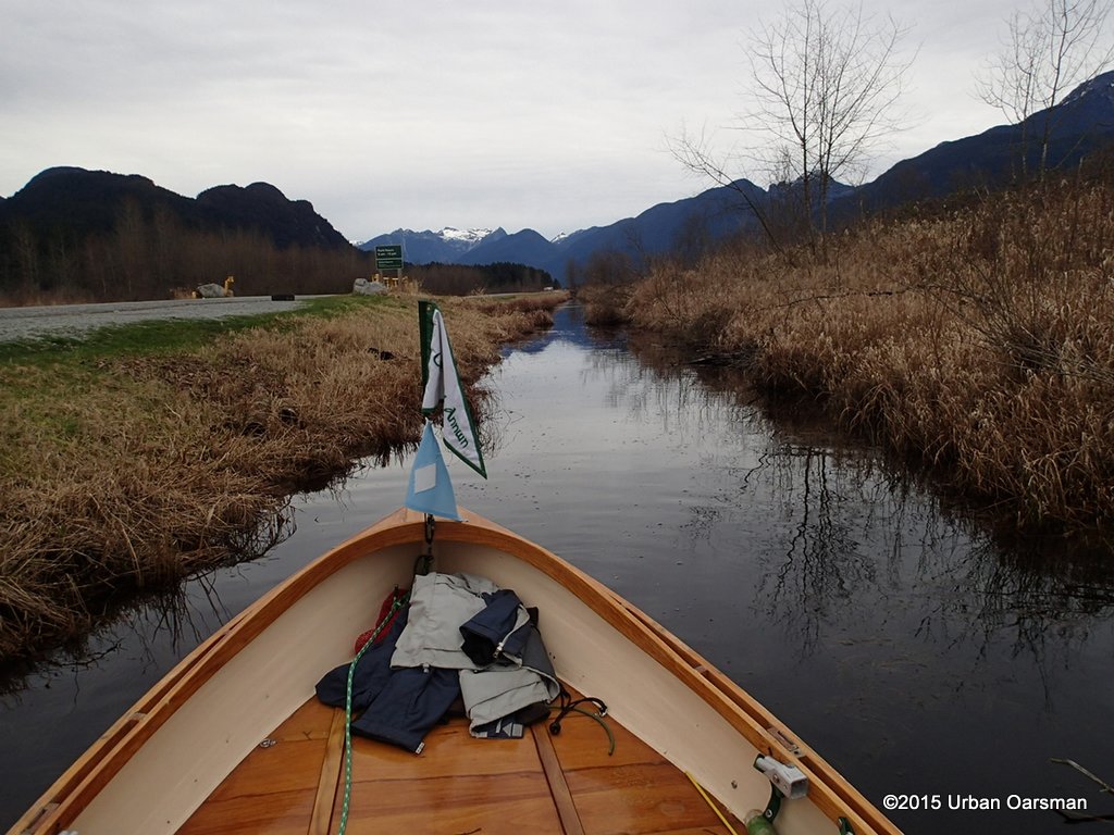 Last look North, along Rennie Road.
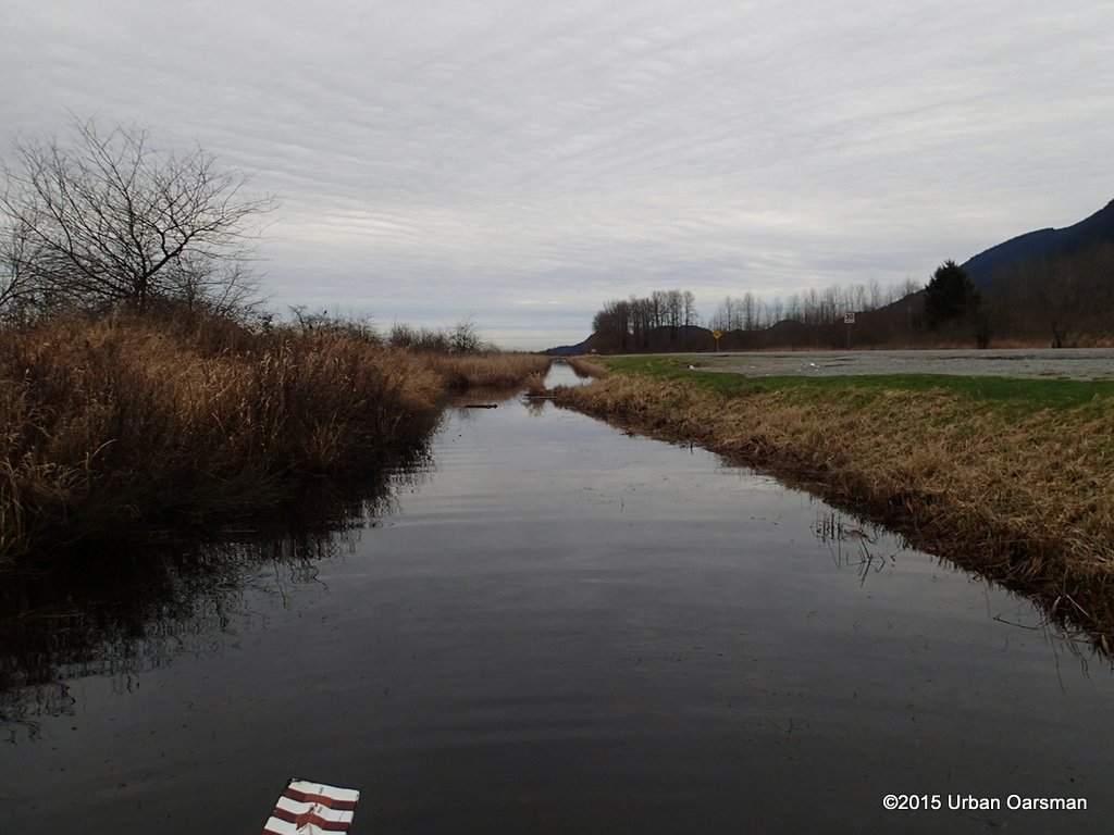 Where the ditch and side channel meet at the launch.
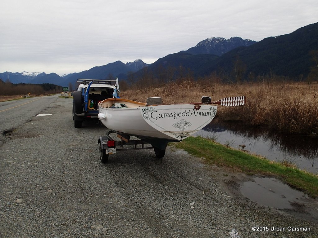 Gwragedd Annwn is back on her trailer. Time to pack her up for the trip home.
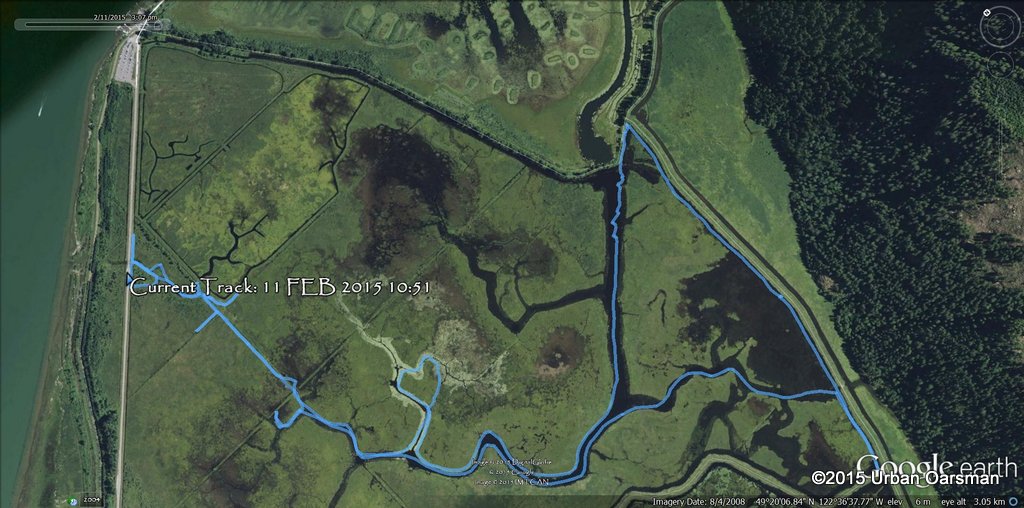 GPS track of the Row.
 About 4½ hours at the thwart. A good row.
Good Rowing,
Mike
Post Views: 75
This entry was posted in
Under the Keel..... Bookmark the
permalink.
 The rowing plan is simple…High tide is at Noon, but in the marsh, does it matter? The tide then drops about a meter (3′) to a low at 8:00pm.


