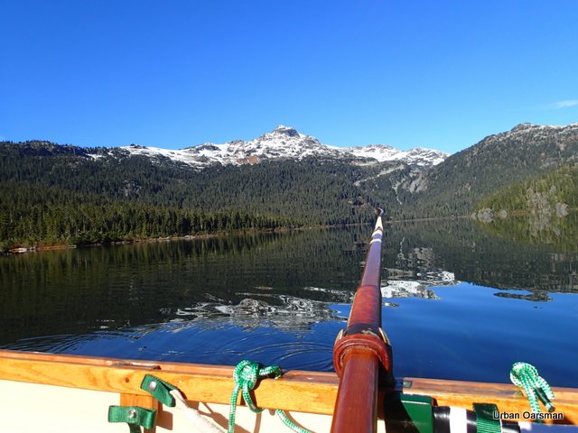
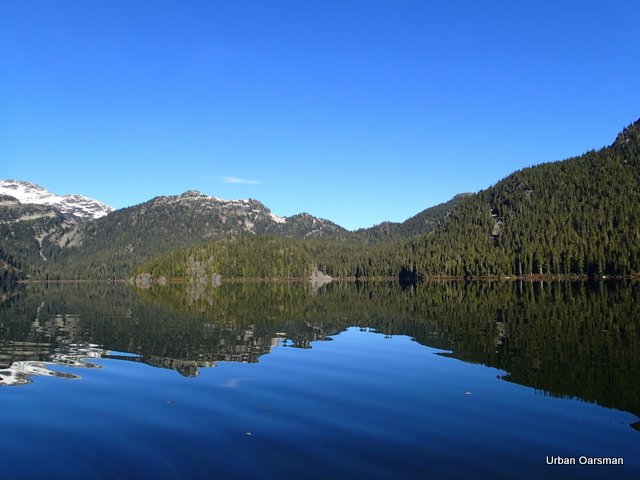
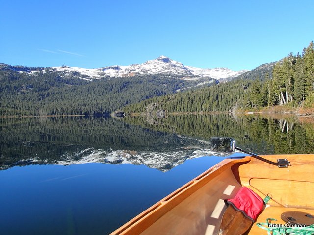
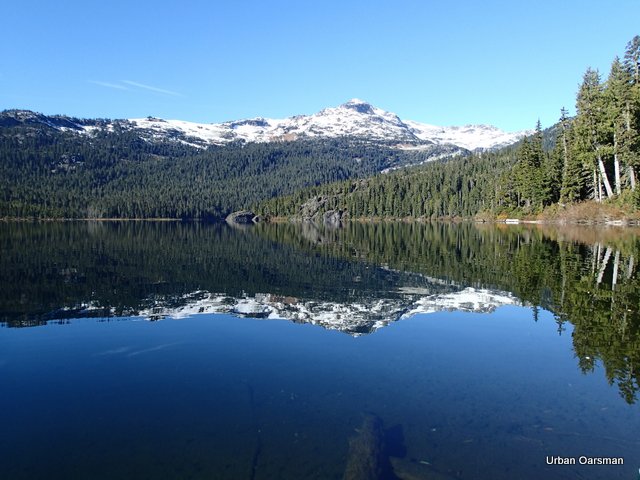
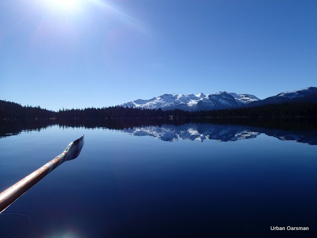
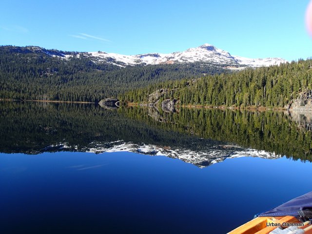
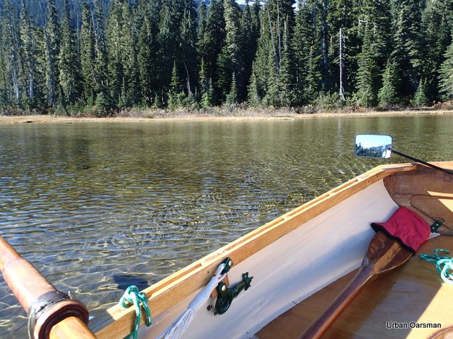
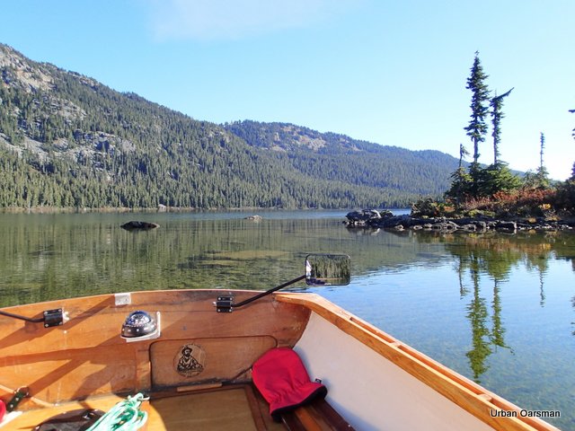
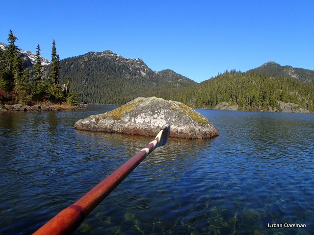
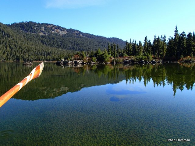
English Bay rowing conditions
-
Recent Posts
Recent Comments
- Pedro Bedard on The Urban Oarsman builds Iain Oughtred’s “Elf” Faering
- Urban Oarsman on Prince William Sound Yawl Build IV
- Ieper Whyte on Prince William Sound Yawl Build IV
- Urban Oarsman on A rain cover for Myst
- John Trussell on A rain cover for Myst
Archives
- December 2024
- January 2024
- November 2023
- April 2023
- December 2022
- November 2022
- October 2022
- July 2020
- April 2020
- March 2020
- May 2019
- March 2019
- December 2018
- June 2018
- May 2018
- April 2018
- March 2018
- February 2018
- January 2018
- December 2017
- January 2017
- October 2015
- September 2015
- August 2015
- July 2015
- January 2015
- December 2014
- July 2014
- May 2014
- February 2014
- January 2014
- December 2013
- November 2013
- September 2013
- August 2013
- July 2013
- June 2013
- May 2013
- April 2013
The Voyages of Gwragedd Annwn:
- 2015 Blood Moon Eclipse Row. September 27th, 2015.
- 2023 Pitt Lake Paddle and Row, March 20th, 21st & 22nd.
- A dipping lug sail for Gwragedd Annwn. Making the mast part II
- A dipping lug sail for Gwragedd Annwn. Making the spar/yardarm, fitting the rudder, leeboards and the forward deck box, side buoyancy chamber access hatches.
- A rain cover for Myst
- A Sailing Rig for Gwragedd Annwn…The Mast.
- A Whale of a Row. October 4th, 2015.
- About the Urban Oarsman:
- Baking in the Summer Sun… The Pitt River Row, July 14th, 2014.
- Bee’s Wax or Snow Guard on Oar Leathers?
- Before Gwragedd Annwn:
- Before Rowing: Snowdrop’s Epic Voyage From Harrison Lake, Down the Harrison and Fraser Rivers to Hollyburn Sailing Club
- Bolgerizing Oars.
- Brunette River/Sapperton Channel Row. March 31st, 2015.
- Building the dolly for Gwragedd Annwn
- Building the Prince William Sound Yawl.
- Building the Prince Willliam Sound Yawl II
- Captive oarlock anti-clunk method.
- Deas Island Slough
- DeBoville Solugh Row. Feburary 4th, 2015.
- Deer Lake Afternoon
- Gwragedd Annwn
- Gwragedd Annwn 2017 re-fit
- Gwragedd Annwn’s Cupped Spoon Oars.
- Leathering Oars.
- Making a birdsmouth hollow mast for Gwragedd Annwn
- Making a birdsmouth hollow mast for Gwragedd Annwn part II
- Making a birdsmouth hollow mast for Gwragedd Annwn part III
- Making a birdsmouth hollow mast for Gwragedd Annwn part IV
- Making a birdsmouth hollow mast for Gwragedd Annwn part V
- Making a birdsmouth hollow mast for Gwragedd Annwn part VI.
- Making a Sculling Notch for Gwragedd Annwn
- May 12th, 2013 Row. Around Siwash Rock and back.
- Mike and Matt, The Urban Oarsmen row Widgeon Creek
- Paul’s Canoe Part Twenty-five. Making the paddles.
- Paul’s Canoe Part Twenty-six. The launching of Paul’s Canoe
- Prince William Sound Yawl Build III
- Prince William Sound Yawl Build IV
- Prince William Sound Yawl build IX
- Prince William Sound Yawl Build V
- Prince William Sound Yawl build VI
- Prince William Sound Yawl build VII
- Prince William Sound Yawl build VIII
- Rowing Harrison Lake to Kilby Park
- Rowing in the Alpine…The Urban Oarsman Rows Callaghan Lake.
- Sapperton Channel Row. March 16th, 2015.
- Squamish to HSC II – by Kayak and Rowboat
- Squamish to the Hollyburn Sailing Club…a three day row with the “Cheetahs” of the Sea.
- Summer Sunshine Row. July 24th, 2013.
- The building and launch of “Crwban” a 10′ Herreshoff Pram.
- The Building of Gwragedd Annwn.
- The Dundarave Forest of Miracles bonfire row.
- The Equinox Row March 22nd, 2013
- The last Row of 2014. The Urban Oarsman Rows up the Coquitlam River to the Red Bridge.
- The launching of “Crwban”
- The Log of “Snowdrop” a 1952 Turner 12′ four-man lifeboat.
- The Nicomekl River Row. August 7th, 2015.
- The Pitt Marsh Short Row. June 4th, 2015.
- The Siwash Rock Sunset Row. May 31st, 2014
- The Spring Equinox Row, March 21st, 2015.
- The Swan Lake Row. April 6th, 2015.
- The Urban Oarsman
- The Urban Oarsman & Son build a Canoe part eight.
- The Urban Oarsman & Son build a Canoe part eleven.
- The Urban Oarsman & Son build a Canoe part five.
- The Urban Oarsman & Son build a Canoe part four.
- The Urban Oarsman & Son build a Canoe part nine.
- The Urban Oarsman & Son build a Canoe part seven.
- The Urban Oarsman & Son build a Canoe part six.
- The Urban Oarsman & Son build a Canoe part ten.
- The Urban Oarsman & Son build a Canoe part three.
- The Urban Oarsman & Son build a Canoe part two.
- The Urban Oarsman & Son build a Canoe!
- The Urban Oarsman & Son build a Canoe, part eighteen…………. Varnishing the seats and carrying yoke, taking the hull off of the strongback/moulds, taking apart the strongback.
- The Urban Oarsman & Son build a Canoe, part fifteen……….. “Poxy day”
- The Urban Oarsman & Son build a Canoe, part fourteen…Outer Stems.
- The Urban Oarsman & Son build a Canoe, part nineteen…………Inside and Outside gunnels, Epoxy & cloth on the inside of the hull.
- The Urban Oarsman & Son build a Canoe, part seventeen…………. Seats and carrying yoke.
- The Urban Oarsman & Son build a Canoe, part sixteen ………….“Fill the weave, fill the weave”…………..
- The Urban Oarsman & Son build a Canoe, part thirteen. Stripping the West side….
- The Urban Oarsman & Son build a Canoe, part twelve.
- The Urban Oarsman & Son build a Canoe, part Twenty four…Final varnishing of the hull and attaching the seats, thwart and the stem rings.
- The Urban Oarsman & Son build a Canoe, part Twenty one…Glueing on the outside gunnels.
- The Urban Oarsman & Son build a Canoe, part Twenty three…Final sanding of the hull and glueing on the brass keel strip.
- The Urban Oarsman & Son build a Canoe, part Twenty two…..…Final shaping of the gunnels and glueing on the decks.
- The Urban Oarsman & Son build a Canoe, part Twenty…………Weaving the Babiche pattern for the seats, tapering the outside gunnels and final outside hull sanding.
- The Urban Oarsman asks: “How deep is the water?”
- The Urban Oarsman builds Brenne Clamps.
- The Urban Oarsman builds Iain Oughtred’s “Elf” Faering
- The Urban Oarsman Explores Pitt Marsh. Feburary 11th, 2015.
- The Urban Oarsman Launches Gwragedd Annwn
- The Urban Oarsman makes Bailers
- The Urban Oarsman Makes Wood & Leather Bailers for Gwragedd Annwn.
- The Urban Oarsman Posts page.
- The Urban Oarsman returns to Still Creek
- The Urban Oarsman returns to Widgeon Creek again…The Highest water yet. June 5th, 2015.
- The Urban Oarsman rows (and sails!) to the top of Pitt Lake with the Hollyburn Sailing Club 2019 May Long Weekend Paddle.
- The Urban Oarsman rows Burnaby Lake
- The Urban Oarsman rows from Hollyburn Sailing Club to Sandy Cove
- The Urban Oarsman rows from Hollyburn Sailing Club to the North Arm Jetty, BC Day, August 5th, 2013
- The Urban Oarsman Rows Gwragedd Annwn in Pender Harbour during “Pender Harbour Days”.
- The Urban Oarsman Rows Gwragedd Annwn off the chart Exploring the Alouette River past the Neaves Road Bridge.
- The Urban Oarsman Rows Gwragedd Annwn off the chart Exploring the North & South Alouette . The July 22nd, 2014 row. The Alouette.
- The Urban Oarsman Rows Gwragedd Annwn off the chart Exploring the North Alouette River.
- The Urban Oarsman rows Gwragedd Annwn off the chart Exploring the North Alouette River. The August 11th, 2014 Row.
- The Urban Oarsman Rows Gwragedd Annwn up the Alouette, off the chart, to Bordertown
- The Urban Oarsman rows the Maelstrom to Lighthouse Park
- The Urban Oarsman rows the Mamquam Blind Channel in Squamish, B.C.
- The Urban Oarsman rows to the Jericho Sailing Centre for a Beer and a Burger
- The Urban Oarsman rows to the Vancouver Wooden Boat Festival August 22nd to 25th, 2013.
- The Urban Oarsman, The First Row of 2015.
- The Urban Oarsman. Grey Day Row to False Creek, Circumnavigation Siwash Rock and a Wrecked Sailboat on the Last Row of the Year to False Creek. December 28th, 2013
- The Urban Oarsman. Return to Widgeon Creek, The Right Fork Taken. November 25th, 2013
- The Urban Oarsman. The Dog Days of Summer Row.
- The Urban Oarsman. The Fog Row, October 18th, 2013
- The Urban Oarsman. The Last Row of 2013 with Porpoises and the First Row of 2014 with the Hollyburn Sailing Club.
- The Urban Oarsman. The Siwash Island Circumnavigation.
- The Widgeon Creek High Tide Row. January 4th, 2014
- The Widgeon Creek Ice Row, Both Forks. In the Oarstrokes of Shackleton. December 7th, 2013
- Urban Oarsman sails, rows and tows on the 2022 Barefoot Raid
- Widgeon Creek. The High Water Row. April 1st, 2014.
- Widgeon Creek…High Fraser Flow Row. June 23rd, 2014.
- The Urban Oarsman
- The Urban Oarsman builds:
- Building the Prince William Sound Yawl.
- The Building of Gwragedd Annwn.
- The Urban Oarsman & Son build a Canoe!
- The Urban Oarsman & Son build a Canoe part two.
- The Urban Oarsman & Son build a Canoe part three.
- The Urban Oarsman & Son build a Canoe part four.
- The Urban Oarsman & Son build a Canoe part five.
- The Urban Oarsman & Son build a Canoe part six.
- The Urban Oarsman & Son build a Canoe part seven.
- The Urban Oarsman & Son build a Canoe part eight.
- The Urban Oarsman & Son build a Canoe part nine.
- The Urban Oarsman & Son build a Canoe part ten.
- The Urban Oarsman & Son build a Canoe part eleven.
- The Urban Oarsman & Son build a Canoe, part twelve.
- The Urban Oarsman & Son build a Canoe, part thirteen. Stripping the West side….
- The Urban Oarsman & Son build a Canoe, part Fourteen…Outer Stems.
- The Urban Oarsman & Son build a Canoe, part Fifteen……….. “Poxy day”
- The Urban Oarsman & Son build a Canoe, part Sixteen ………….“Fill the weave, fill the weave”…………..
- The Urban Oarsman & Son build a Canoe, part seventeen…………. Seats and carrying yoke.
- The Urban Oarsman & Son build a Canoe, part eighteen…………. Varnishing the seats and carrying yoke, taking the hull off of the strongback/moulds, taking apart the strongback.
- The Urban Oarsman & Son build a Canoe, part nineteen…………Inside and Outside gunnels, Epoxy & cloth on the inside of the hull.
- The Urban Oarsman & Son build a Canoe, part Twenty…………Weaving the Babiche pattern for the seats, tapering the outside gunnels and final outside hull sanding.
- The Urban Oarsman & Son build a Canoe, part Twenty one…Glueing on the outside gunnels.
- The Urban Oarsman & Son build a Canoe, part Twenty two…..…Final shaping of the gunnels and glueing on the decks.
- The Urban Oarsman & Son build a Canoe, part Twenty three…Final sanding of the hull and glueing on the brass keel strip.
- The Urban Oarsman & Son build a Canoe, part Twenty four…Final varnishing of the hull and attaching the seats, thwart and the stem rings.
- Paul’s Canoe Part Twenty-five. Making the paddles.
- Paul’s Canoe Part Twenty-six. The launching of Paul’s Canoe
- The Urban Oarsman builds Brenne Clamps.
- Bolgerizing Oars.
- Captive oarlock anti-clunk method.
- The building and launch of “Crwban” a 10′ Herreshoff Pram.
- The Urban Oarsman builds Iain Oughtred’s “Elf” Faering
- About Gwragedd Annwn
- The Building of Gwragedd Annwn.
- The Urban Oarsman Launches Gwragedd Annwn
- Building the dolly for Gwragedd Annwn
- A Sailing Rig for Gwragedd Annwn…The Mast.
- A dipping lug sail for Gwragedd Annwn. Making the mast part II
- A dipping lug sail for Gwragedd Annwn. Making the spar/yardarm, fitting the rudder, leeboards and the forward deck box, side buoyancy chamber access hatches.
- Making a birdsmouth hollow mast for Gwragedd Annwn
- Making a birdsmouth hollow mast for Gwragedd Annwn part II
- Making a birdsmouth hollow mast for Gwragedd Annwn part III
- Making a birdsmouth hollow mast for Gwragedd Annwn part IV
- Making a birdsmouth hollow mast for Gwragedd Annwn part V
- Making a birdsmouth hollow mast for Gwragedd Annwn part VI.
- Making a Sculling Notch for Gwragedd Annwn
- Gwragedd Annwn 2017 re-fit
- The Voyages of Gwragedd Annwn
- Before Gwragedd Annwn:


