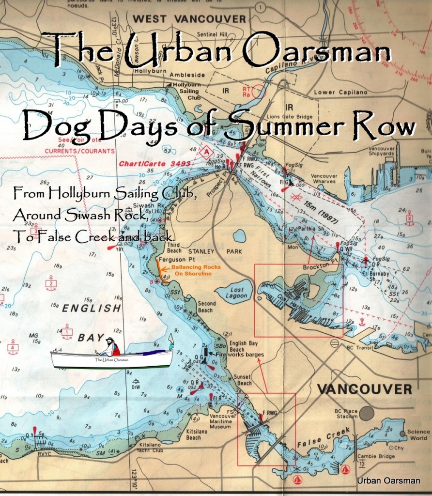
High tide will be around Twelve thirty seven. The plan is to row with the current, cross the maelstrom, around Siwash Rock, and on to False Creek with the tide. When the tide turns, I will ride the outflow from False Creek, along Stanley Park and back to Hollyburn Sailing Club.
As I drive down 15th Street in West Vancouver, I can see the rocks off the Western shore of Stanley Park are almost awash. This is the “Rule of thumb” that there is enough water to row around Siwash Rock.
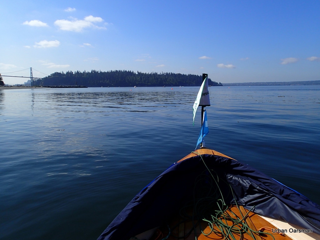 |
| Leaving Hollyburn Sailing Club for Stanley Park and Siwash Rock |
I row towards Stanley Park and Siwash Rock.
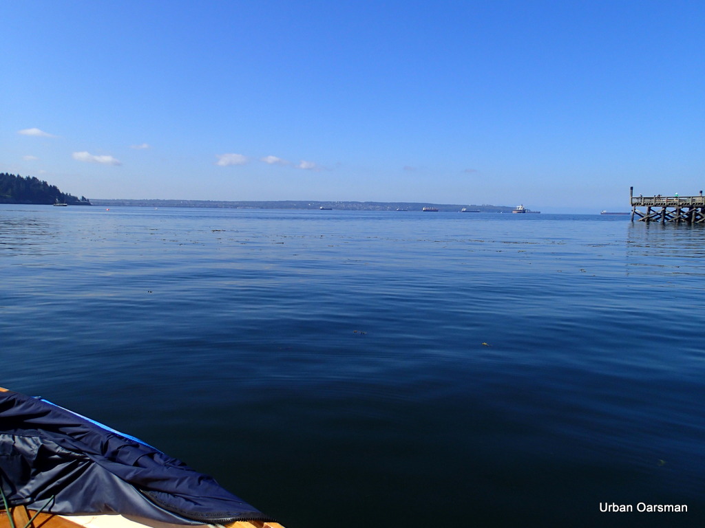 |
| The water is flat for crossing the Maelstrom |
Rowing south towards Stanley Park.
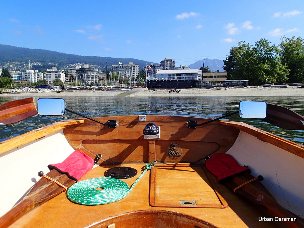 |
| Hollyburn Sailing Club launching ramp and Clubhouse |
As you can tell from the flag, there is not much wind, a slight breeze from the west.
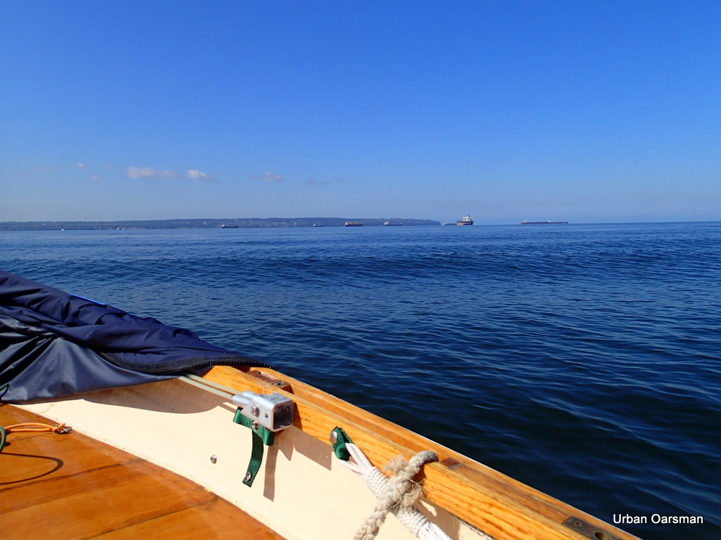 |
| Swells from boat traffic. |
English Bay is calm, there are only swells from passing boat traffic. I turn my UHF radio to channel 12, the Vancouver Harbour Traffic Channel. This channel tells you of all the commercial traffic in the Harbour, especially the freighters that are coming into Burrard Inlet and the time that they will pass under First Narrows. This is good information to know.
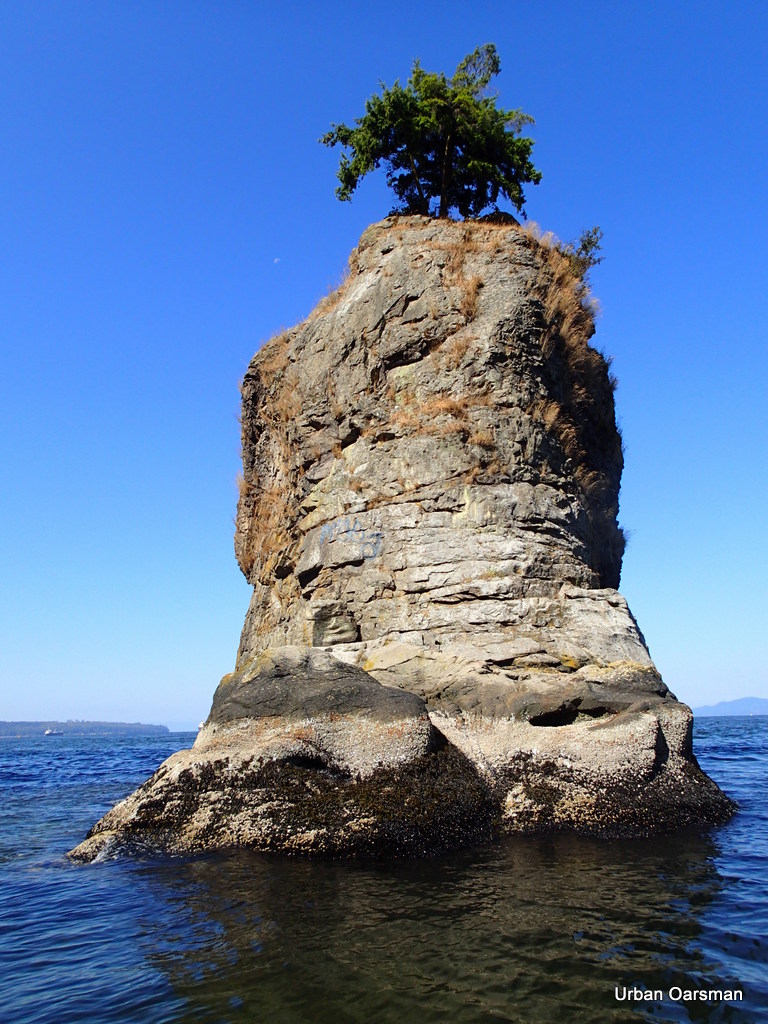 |
| Circumnavigatable Siwash Rock |
Siwash Rock has enough water around it to row around. The “Rule of Thumb” coming down 15th Street in West Vancouver has proven itself again. Please note the waxing moon in the upper left corner of the photograph. One day I hope to come here to take picture of Siwash at sunset. Should be a grand row.
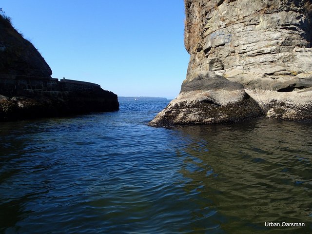 |
| The Channel between Siwash Rock and Stanley Park. |
A photo of the gap between Siwash Rock and The Sea Wall. There is a 1.5 knot current through the gap. Because of the underwater topography, there is always a current from the west through the gap. whether the tide is coming in or going out.
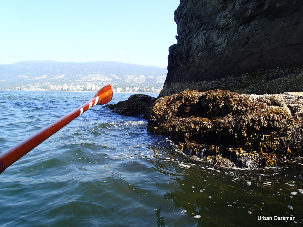 |
| Rowing through the gap, from west to east. |
I am going to row through the gap between Siwash Rock and the Seawall.
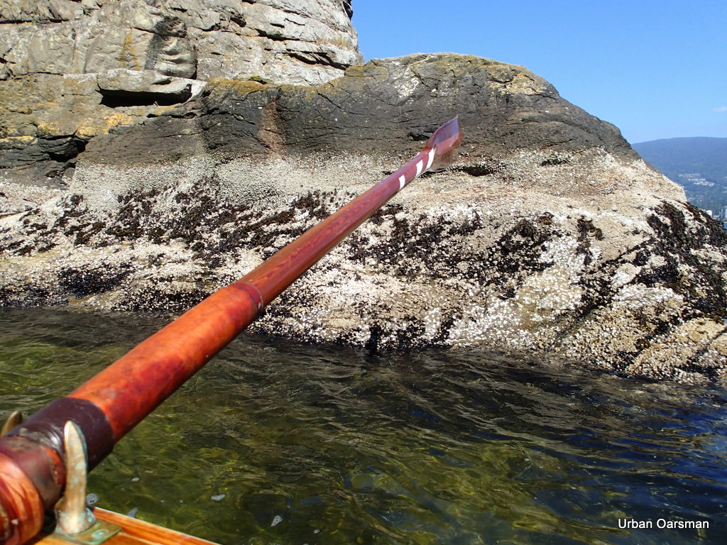 |
| Almost through the gap. |
I do not have to row very hard as there is a strong current through the gap when ever there is enough water to pass through.
I continue rowing to False Creek, Having rowed around Siwash Rock Twice.
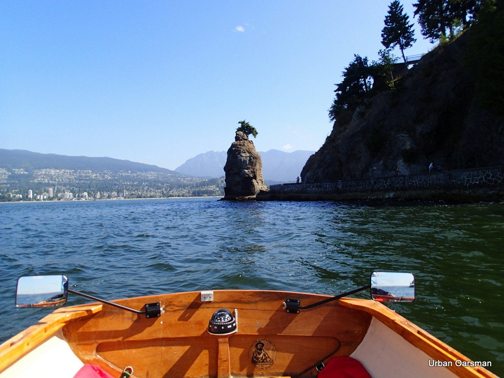 |
| Leaving Siwash Rock behind. |
I row on towards False Creek. Can you see the Stanley Park gun emplacement? It is in the Picture.
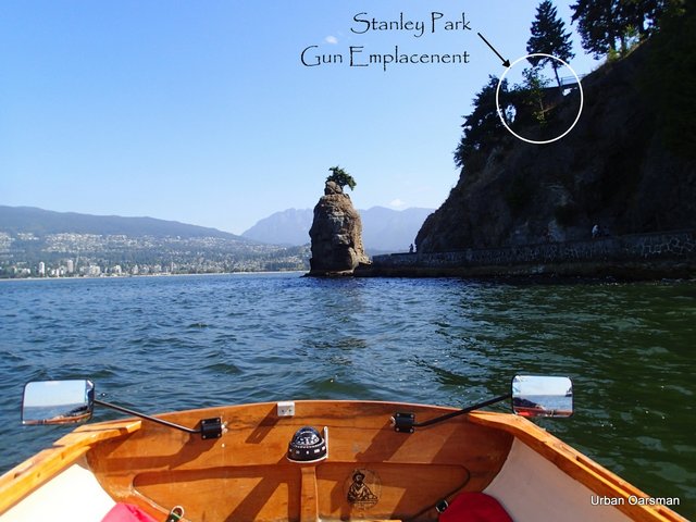 |
| The Stanley Park gun/search light emplacement. |
Some of my friends who went to UBC and lived in Fort Camp have told me that these (especially the one on the endowment lands beside wreck beach)are search light emplacements and not gun emplacements. One day I will have to go inside on and see if there are footings for guns or search lights.
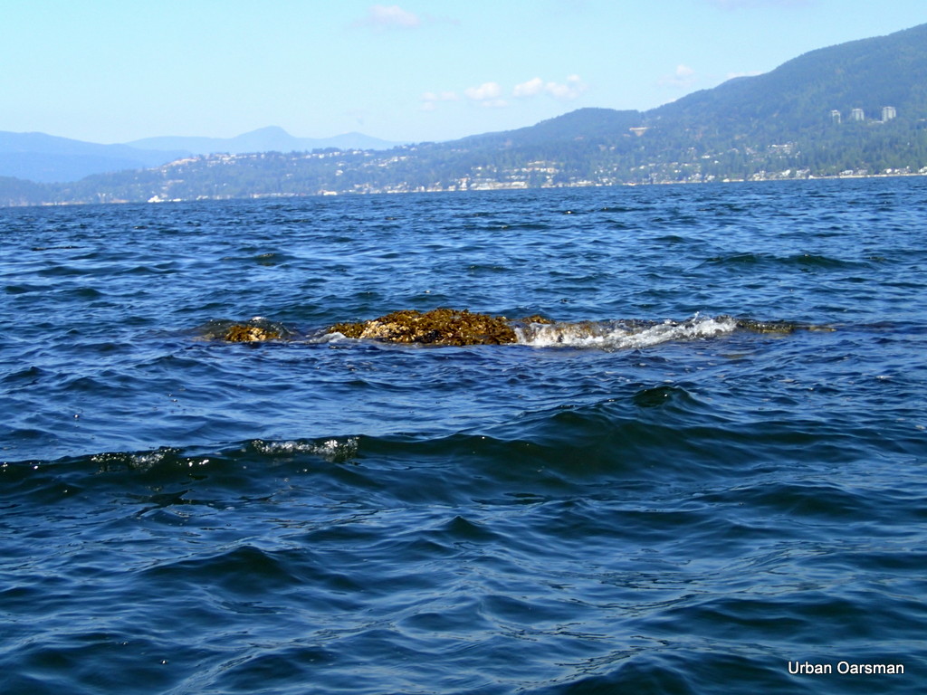 |
| Indicator rock #1 on west side of Stanley Park |
This rock is just west of Stanley Park and south of Siwash Rock. I have marked it on the opening chart as #1, circled in red.
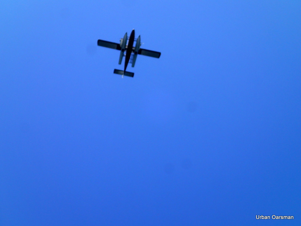 |
| A seaplane going overhead to land in Coal Harbour. |
The airspace over Stanley Park is always busy. There are always a lot of seaplanes and helicopters going overhead to and from Coal Harbour.
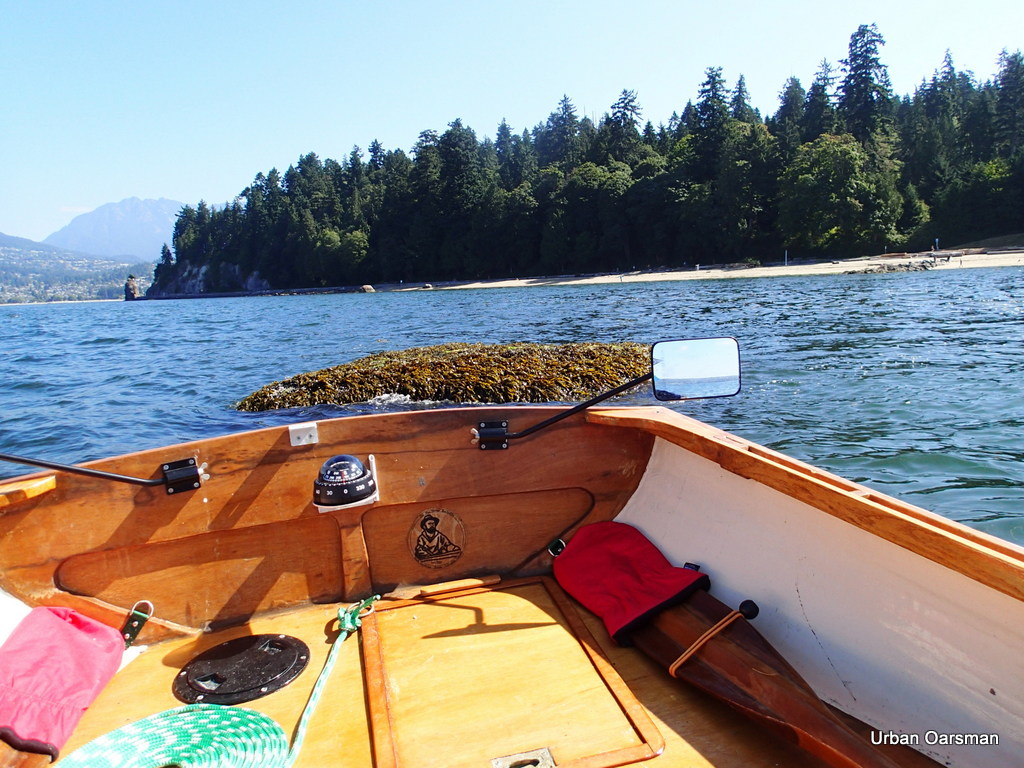 |
| Indicator Rock #2 marked in red on the opening page |
I row around another breaking rock on my way to False Creek.
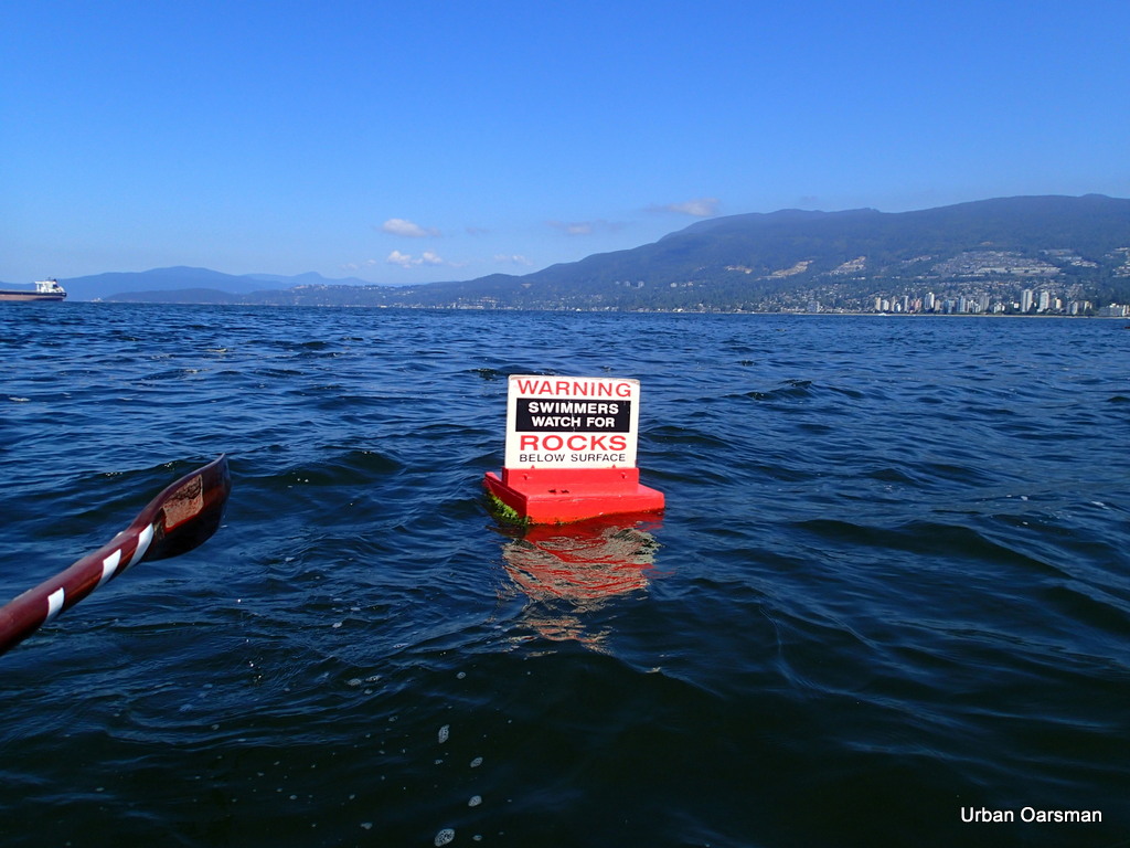 |
| There should be a warning for rowers (and boaters) too. |
The West shore of Stanley Park has a number of breaking rocks that an Oarsman must stay clear of.
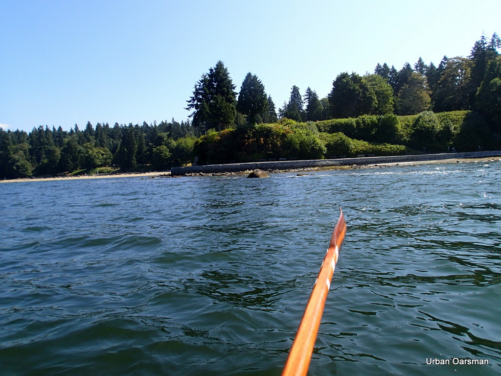 |
| Well clear of the breaking rock off Prospect Point. |
Rowing past Prospect Point. There are many hazards if you stay close to the shore line.
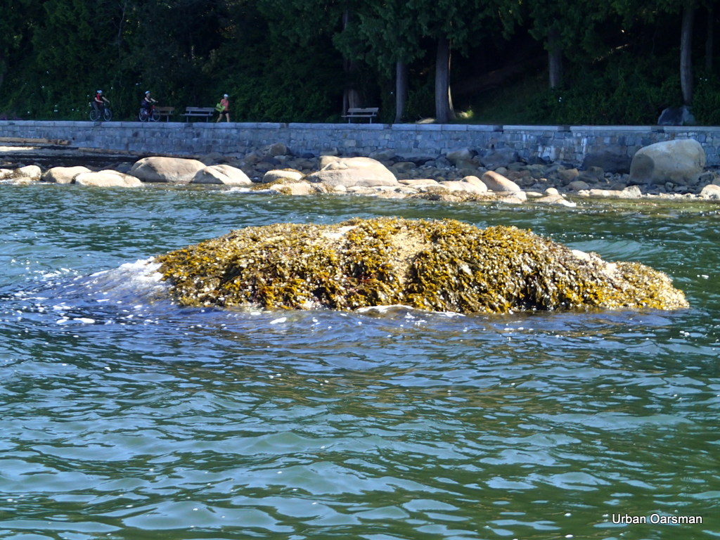 |
| Indicator Rock #3 on the chart. |
I stay seaward of the rocks near the shore.
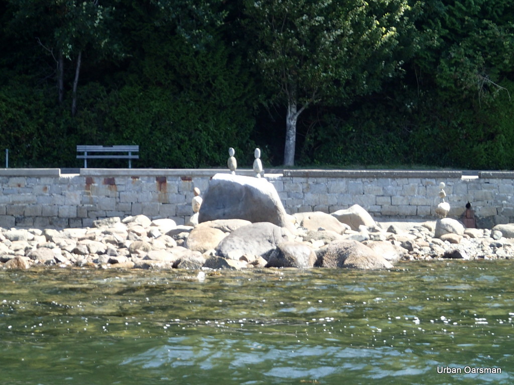 |
| Balancing Rocks |
I marked on the opening page chart where the Balancing Rocks are. There are a lot of them. I counted over sixty along this stretch of seawall.
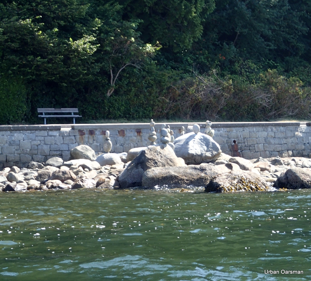 |
| Balancing Rocks |
Another close-up of the Balancing Rocks.
 |
| Fireworks Barges off English Bay Beach. |
 |
| “The Drip” |
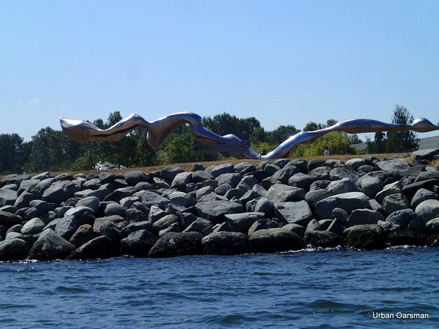
This is “The Drip”, a sculpture in Vanier Park at the entrance to False Creek.
 |
| Kits boat launch. |
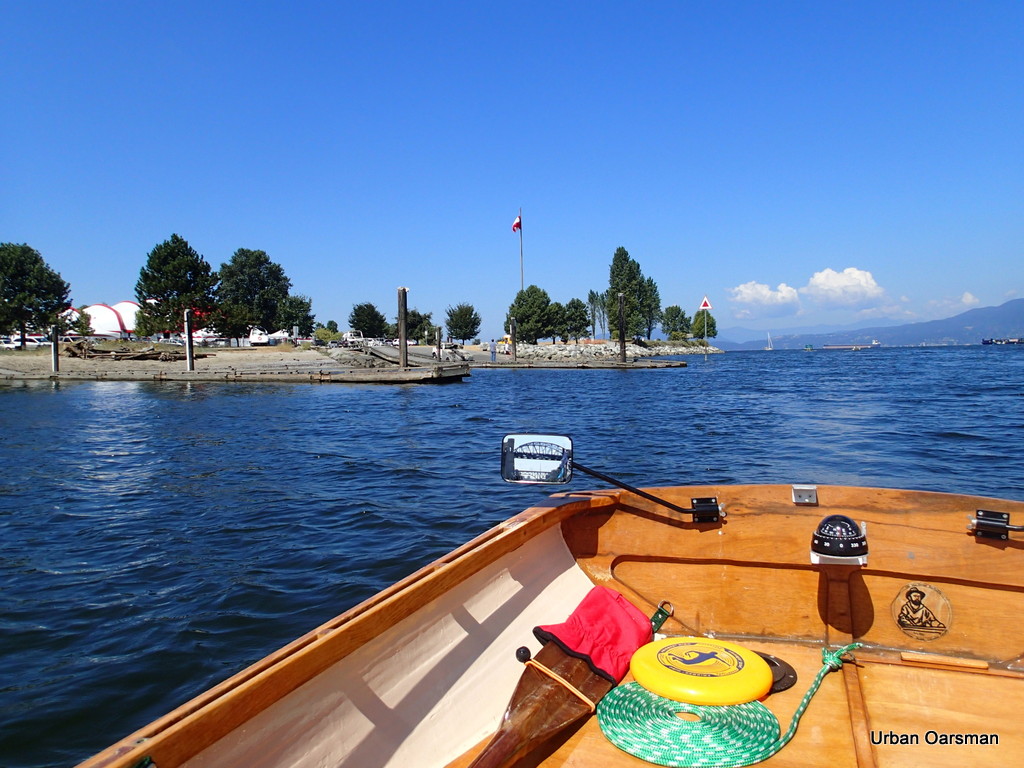
There are two dock and launch ramps at the Kits boat launch. When I am taking my wooden clinker lifeboat to the Vancouver Wooden Boat Festival, I usually launch here. The tents in the background are for the “Bard on the Beach” events. Usually quite good…You should go to a show there, it will be worth your while.
 |
| Dead Coast Guard station at Kits. |
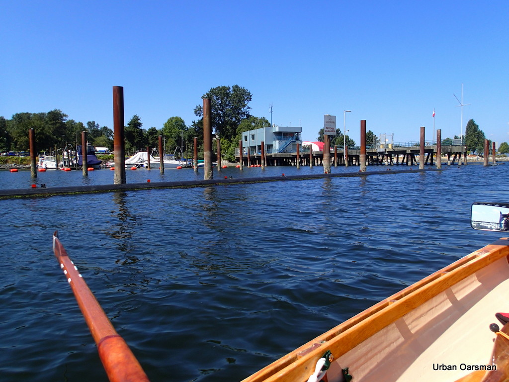
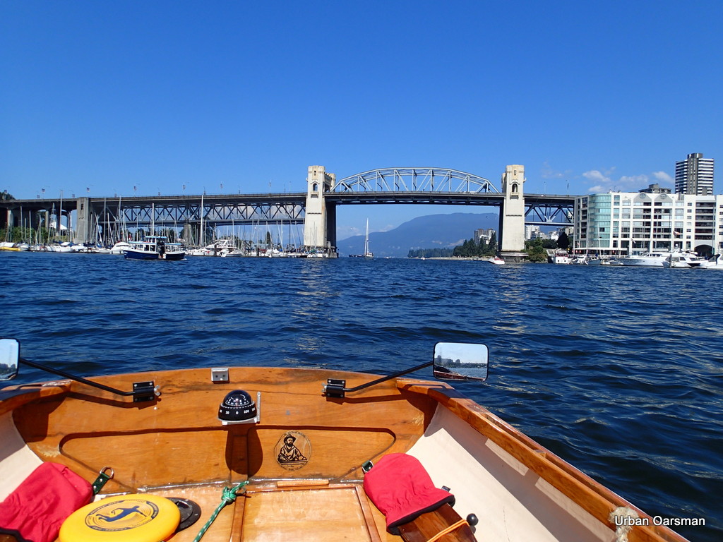
This is the abandoned Coast Guard Station at Kits. Hope I do not have any problems, I am a long way from the other Coast Guard Stations even though I am almost downtown right now.
 |
| Burrard Street Bridge. |
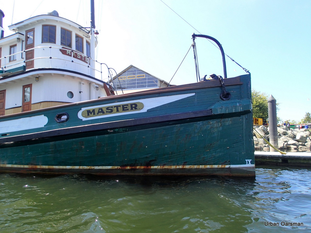 |
| Bow of the Steam Tug “Master” waiting for the Vancouver Wooden Boat Festival. The VWBF is on the last weekend in August on Granville Island. I will be there with my clinker lifeboat “Snowdrop” for the 21st year. I missed one year with her because I was rebuilding her and she was not ready to show. Hope to see you at the festival, August 22nd to 25th, 2013. |
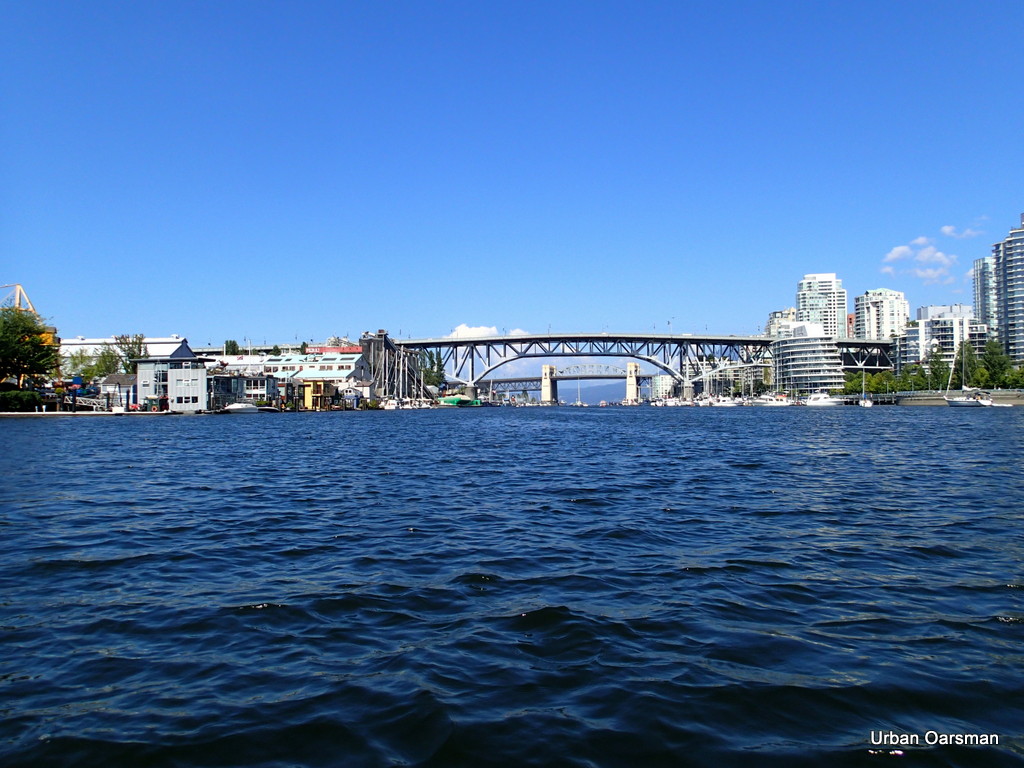 |
| Granville Street Bridge with Burrard Street Bridge in background. |
I row on into False Creek.
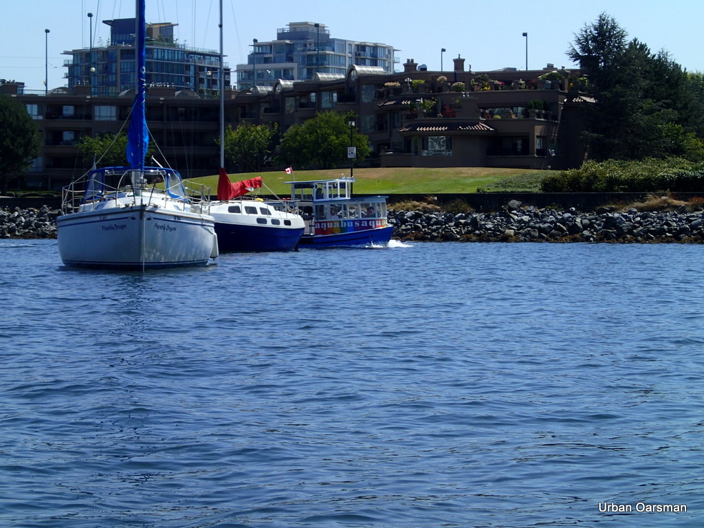 |
| False Creek ferry, the “Aquabus”. |
There are so many boats anchored in False Creek that the False Creek ferries weave around them on their routes.
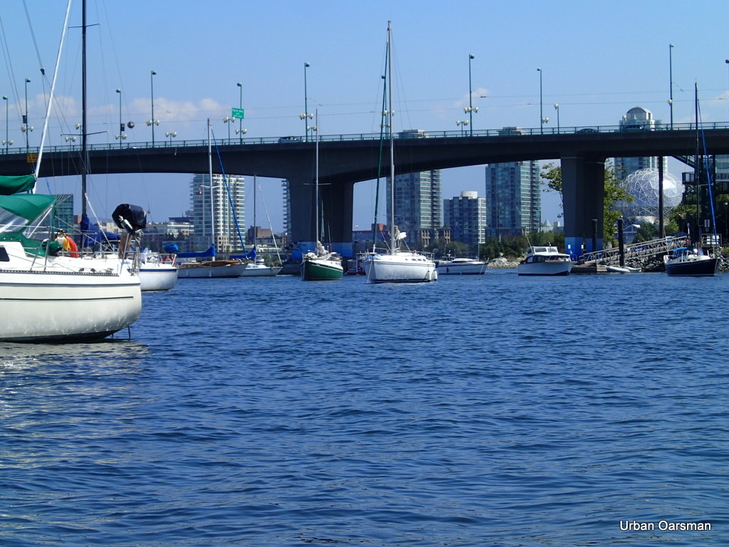 |
| Boats anchored in False Creek between Granville Street and Cambie Street Bridges. |
To the right of the picture is a Ferry stop on the dock on the water.
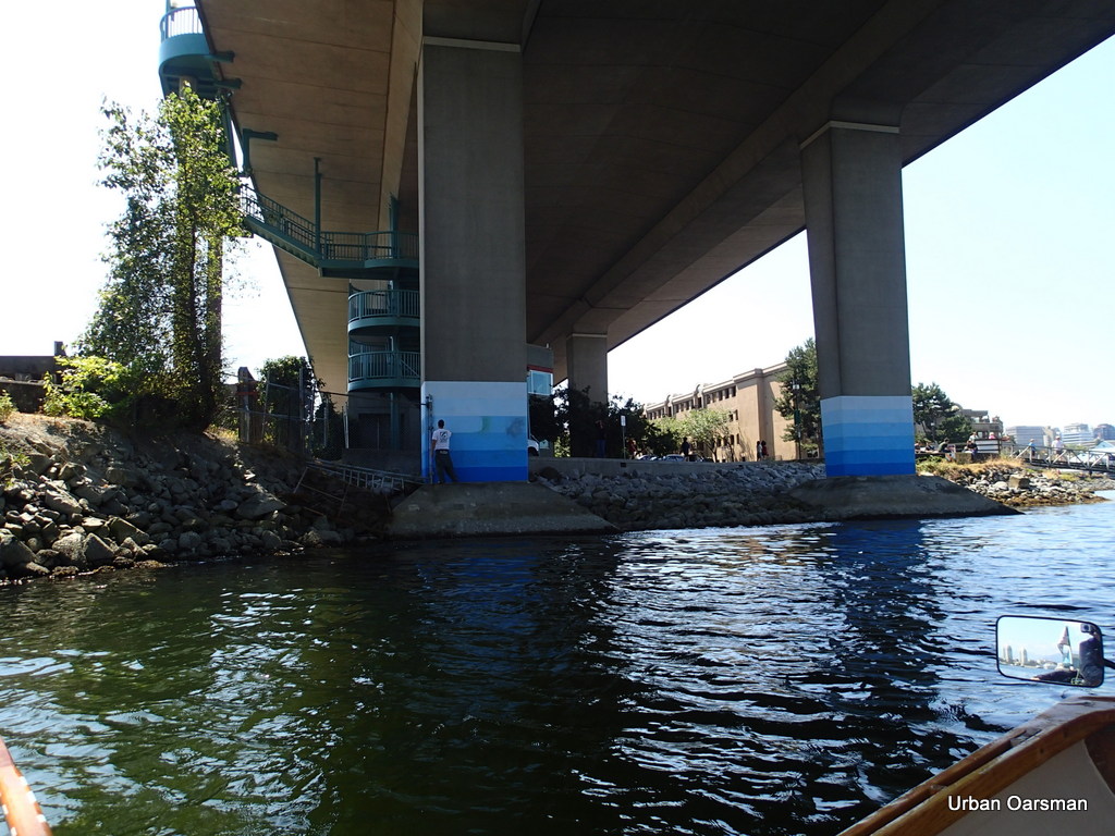 |
| Painting out the graffiti |
As I rowed past, a worker was painting out the graffiti on the footings for the Cambie Street Bridge.
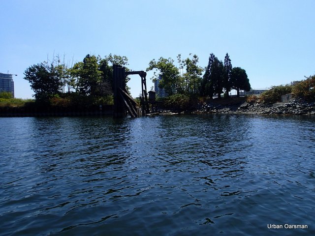 |
| Old disused dock |
I remember when barges used to be unloaded from this dock. “The times they are a changing”.
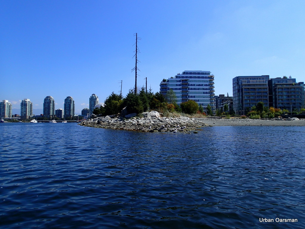 |
| Man made natural shoreline in Olympic Village. |
This is a man made shoreline beside the Olympic Village. Looks natural, but, all of it is man made. Good job, almost looks as if it could be natural. I wonder is the crows appreciate it.
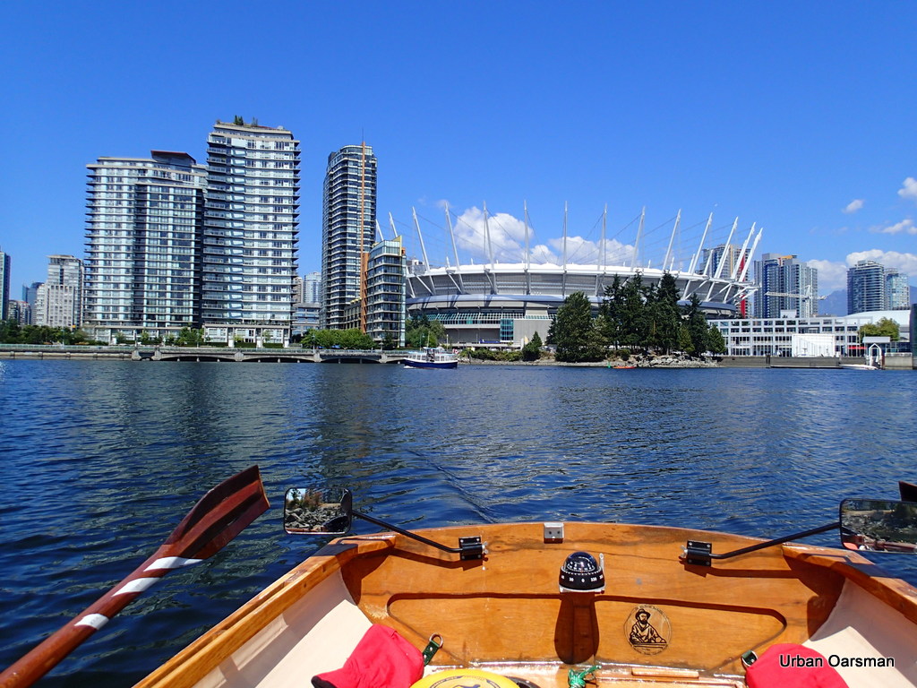 |
| BC Place Stadium with the new roof. |
I do not know if the roof is open or closed. I would think that with the weather we have been having, the roof is now open.
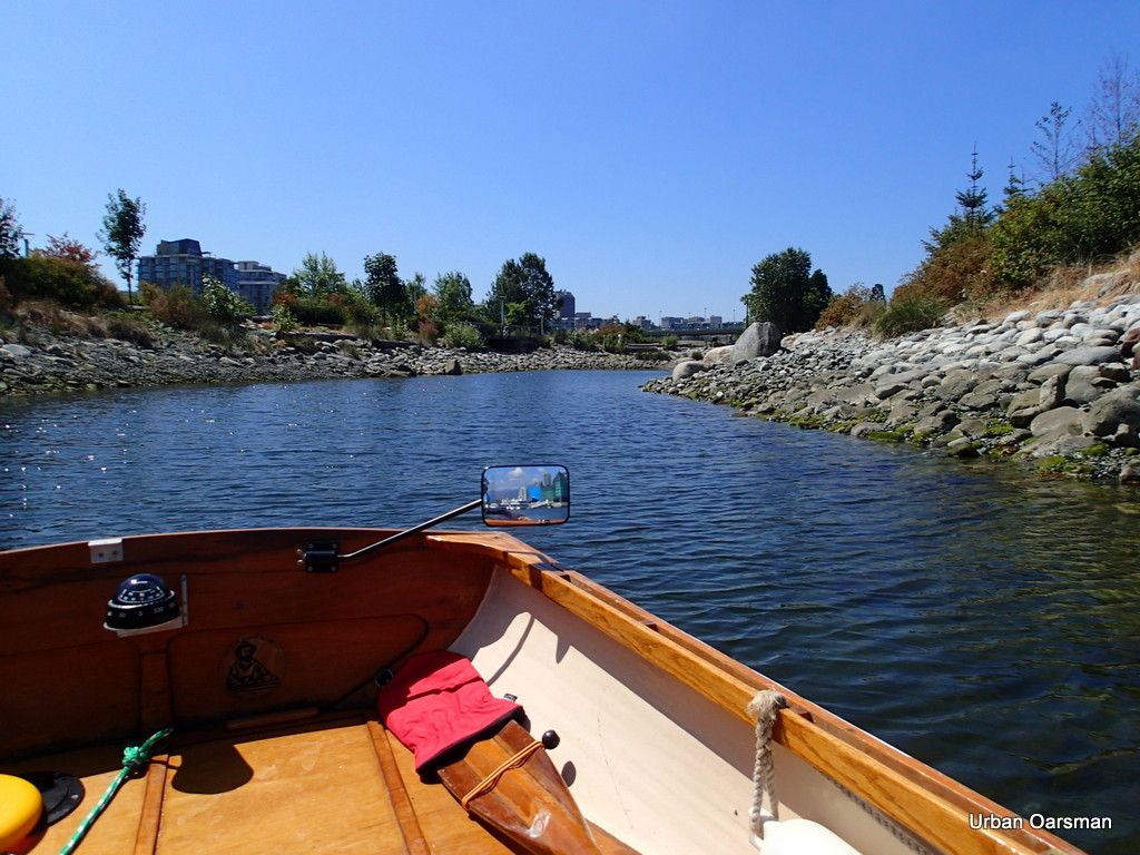 |
| Other side of the man made shoreline by Olympic Village. |
This inlet looks like almost any other but there is no creek at the head of it.
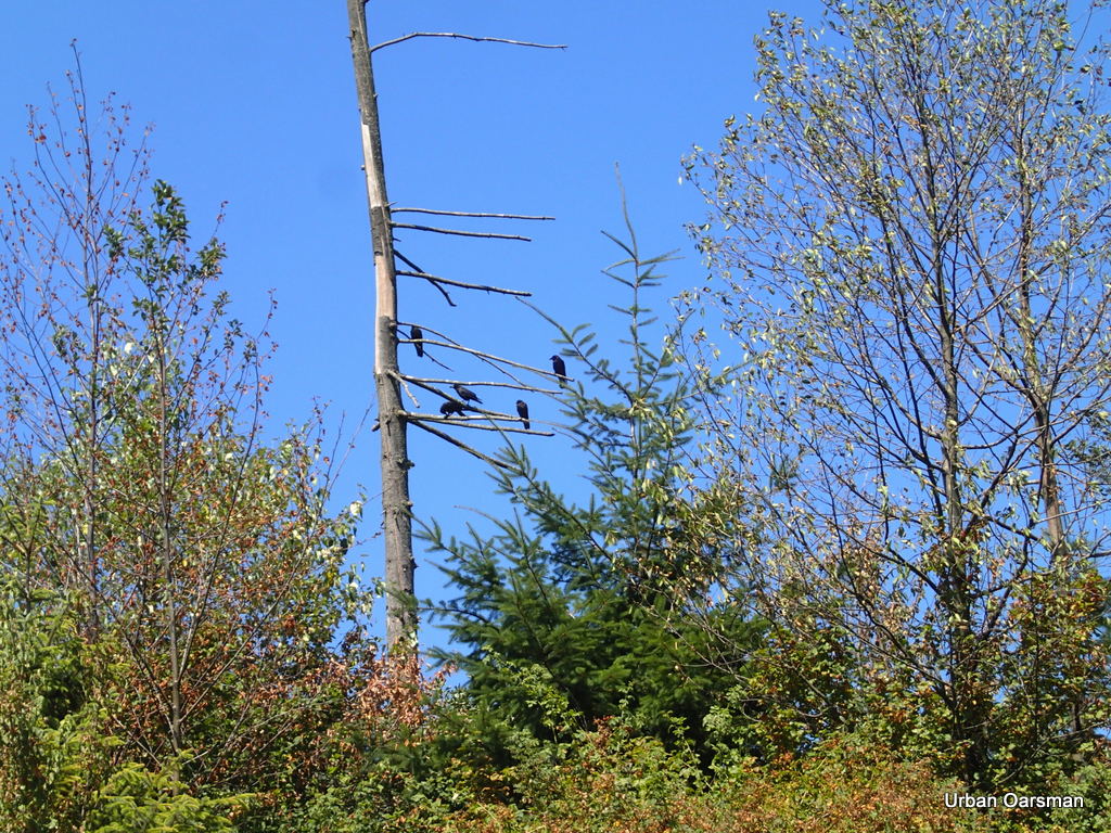 |
| Crows like the point. |
The crows seem to like the point. I wonder if any Eagles ever perch here.
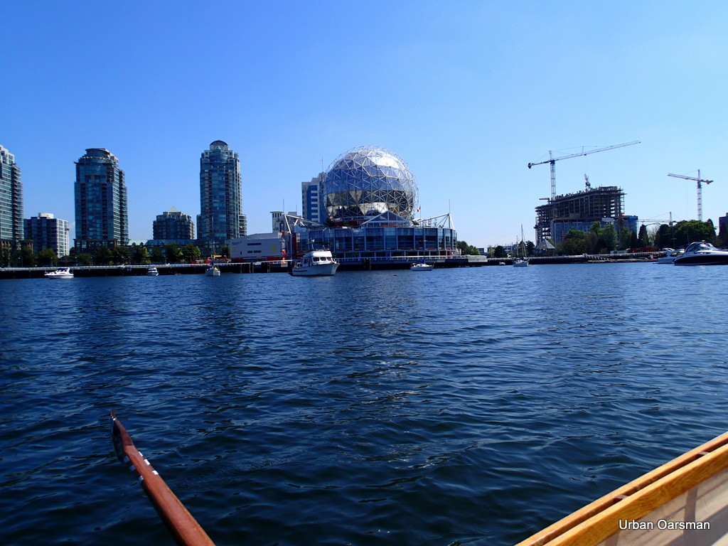 |
| Science World. |
Science World. There is a False Creek Ferry stop to the right of the picture. This is where I turn around and return home. I am about two and one-half hours into the row.
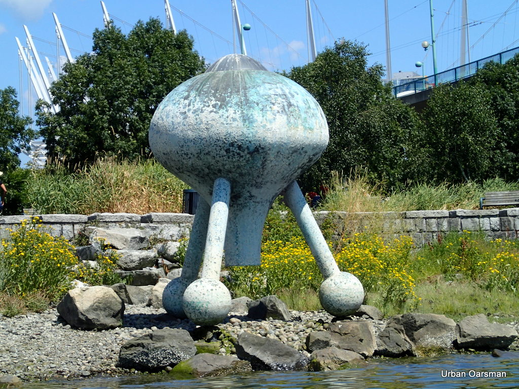 |
| Expo ’86 left-over. |
I believe that this sculpture is left over from Expo ’86. I do not knot know what it is called.
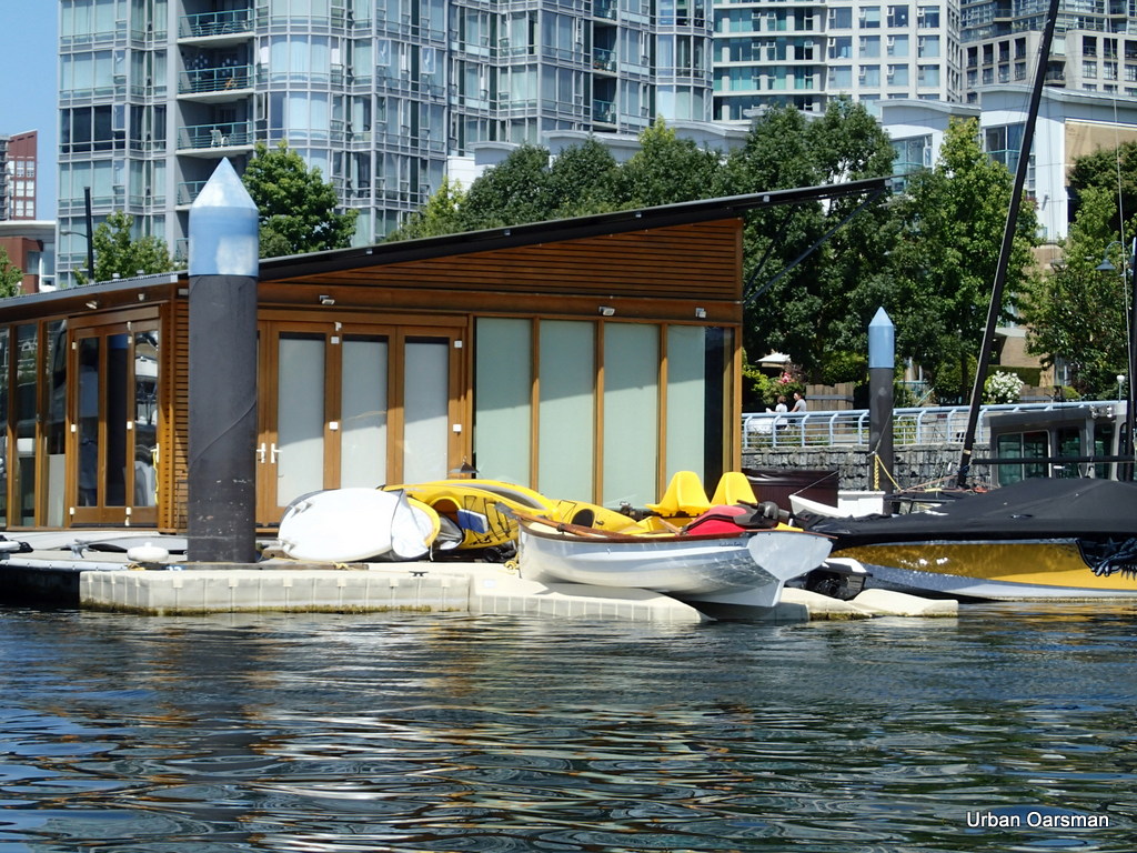 |
| Nice looking row boat at Quayside marina. |
Nice looking rowboat at Quayside marina. An interesting way of bringing your boat ashore.
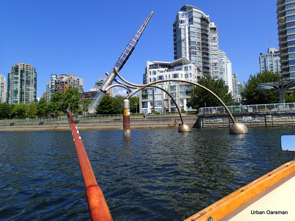 |
| Another Expo “86 leftover sculpture. |
I believe that this one rotates around the pillar. The two round things are floats.
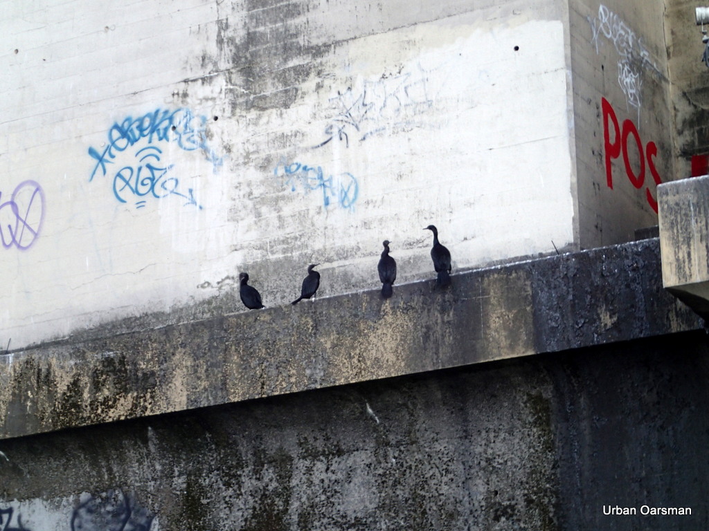 |
| Cormorants on the Burrard Street Bridge footings. |
As I row out of False Creek I espy these Cormorants on the footings of the Burrard Street Bridge. I usually see them on Siwash Rock or on the cliffs by Prospect Point.
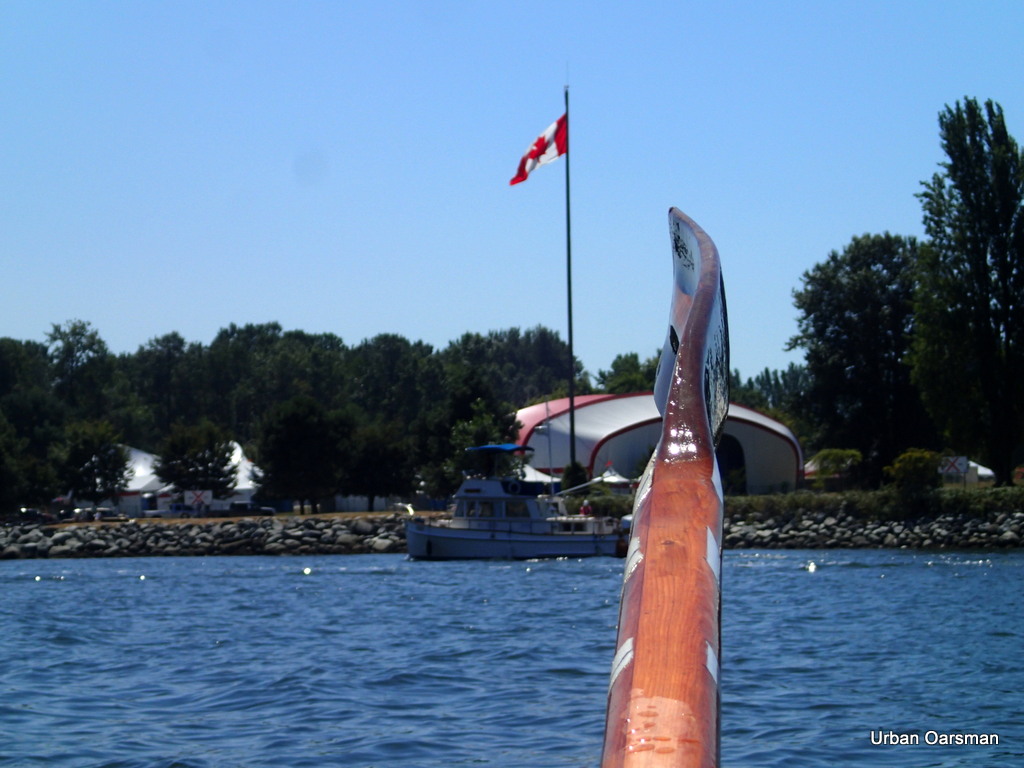 |
| Vanier Park flag |
I row out of False Creek and the Vanier Park flag is flapping limply. There is less wind now then when I came in. Perhaps an easier row home than I thought.
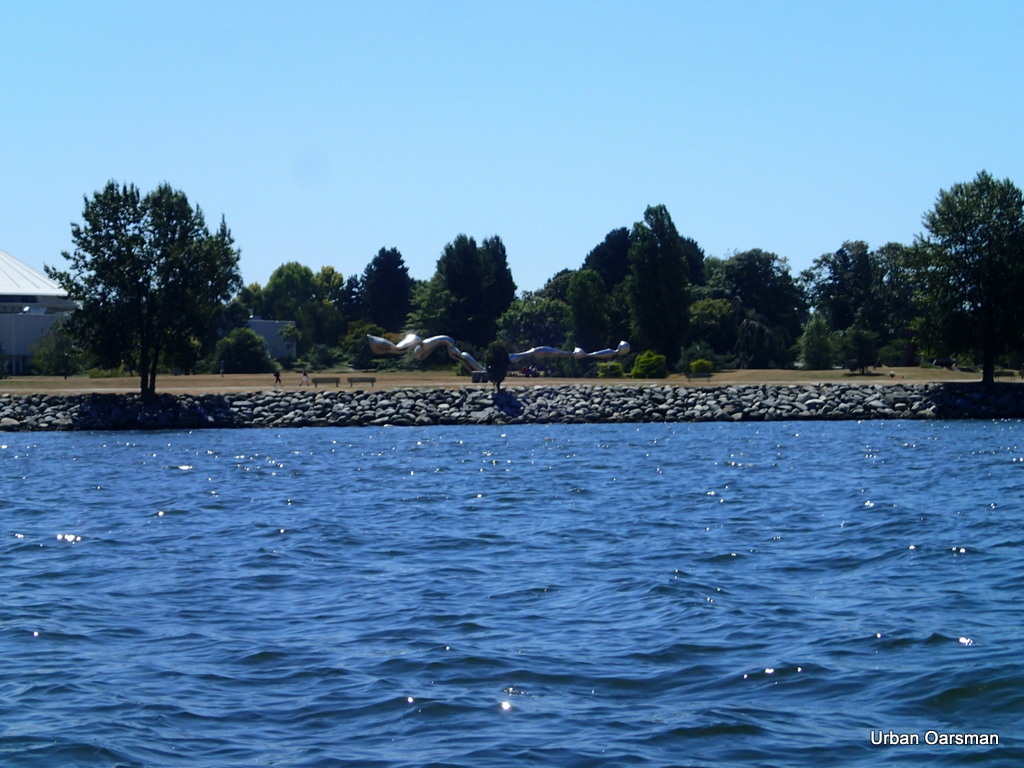 |
| Bye, bye “Drip”. |
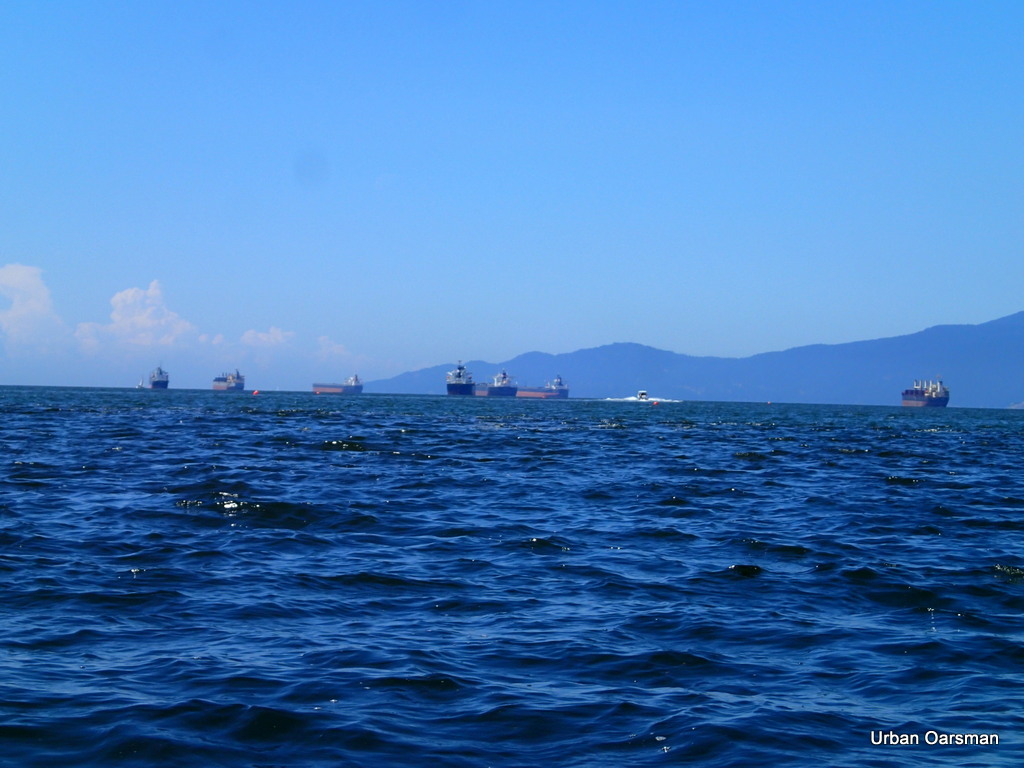 |
| English Bay looks a little choppy. |
The wind has picked up the chop on English Bay. Could be a long row home. Three and one-half hours into the row.
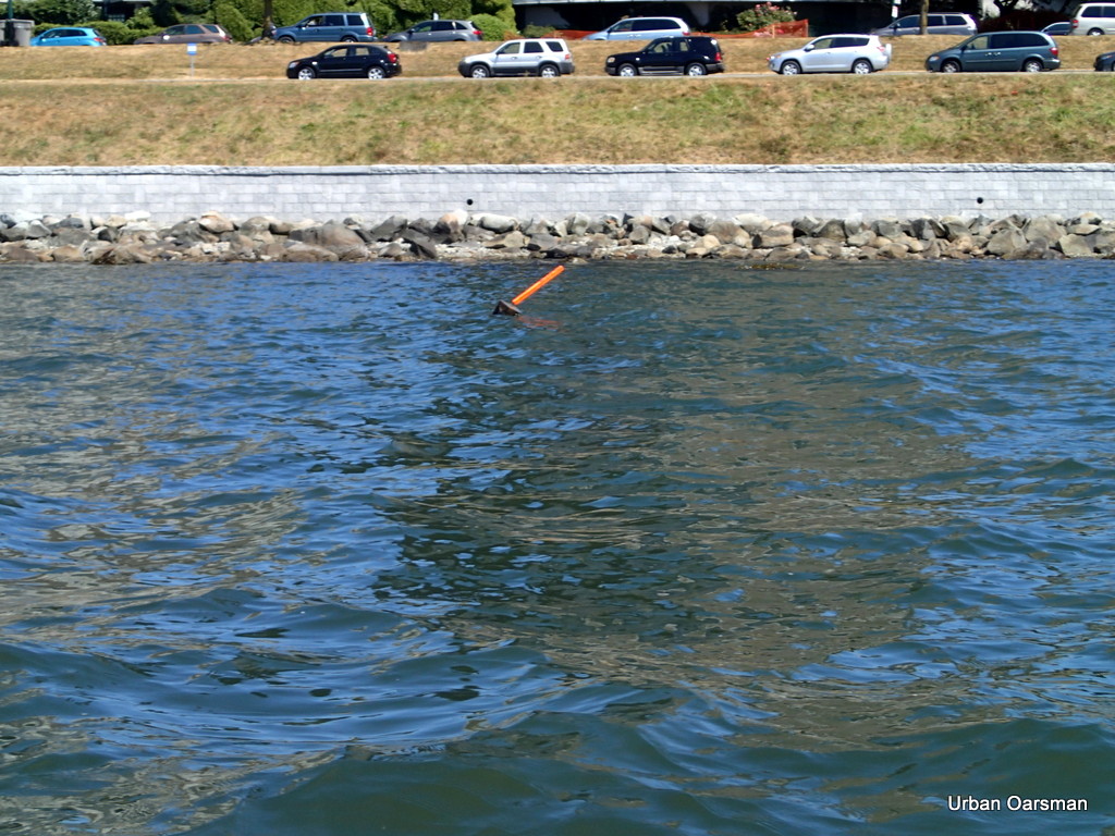 |
| Deadhead with flag. |
Deadheads are water saturated logs that float with only a small part of them showing. Much like a iceberg. Boaters will often mark deadheads that they find with a flag so the deadheads are more visible.
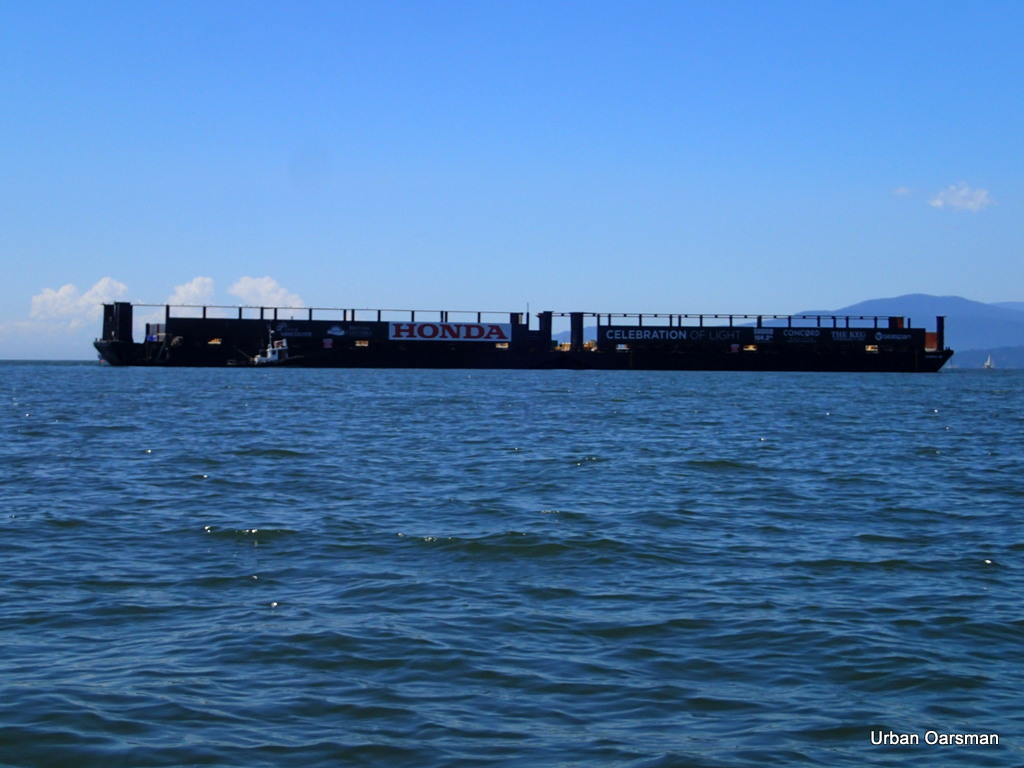 |
| Fireworks Barges in front of English Bay Beach. |
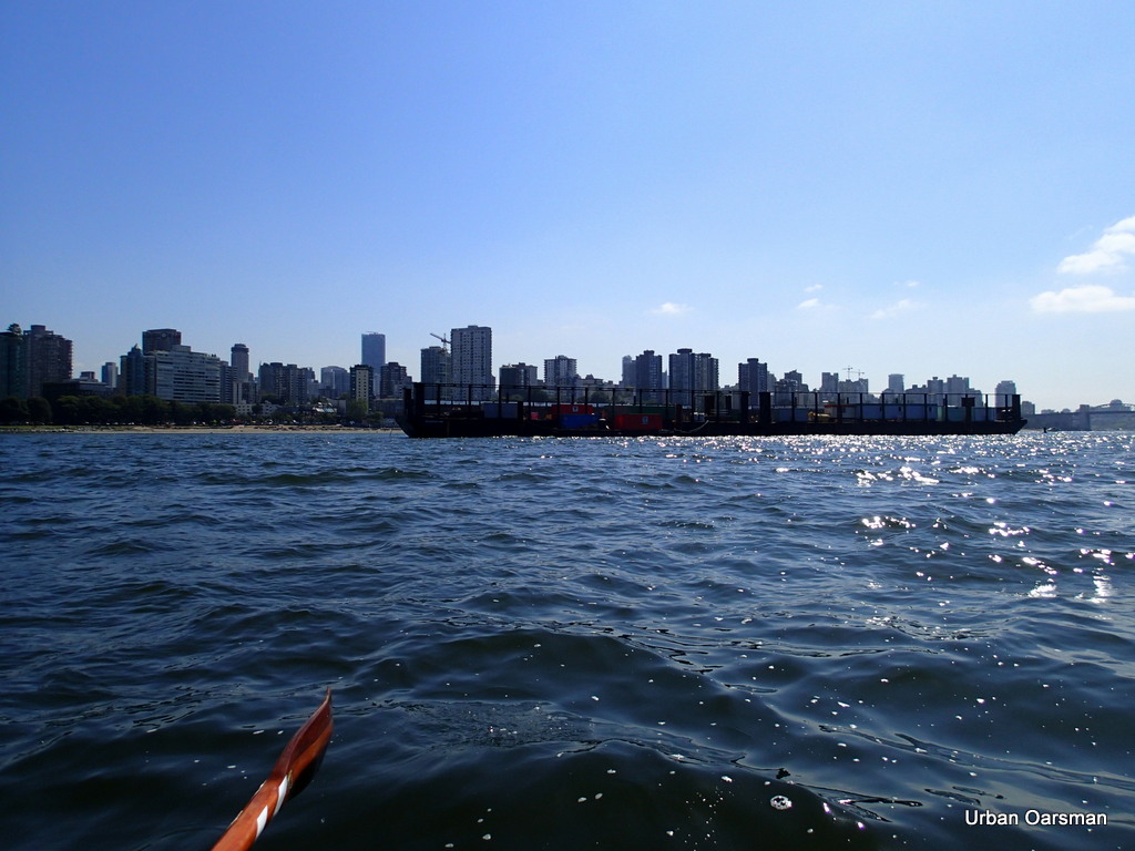
On the way home I row inshore of the barges in the quieter water. This sounds like a good idea, but there is a counter current flowing southerly along the beach. I stop and measure its speed, almost a knot and a half. I guess I have to row a little faster.
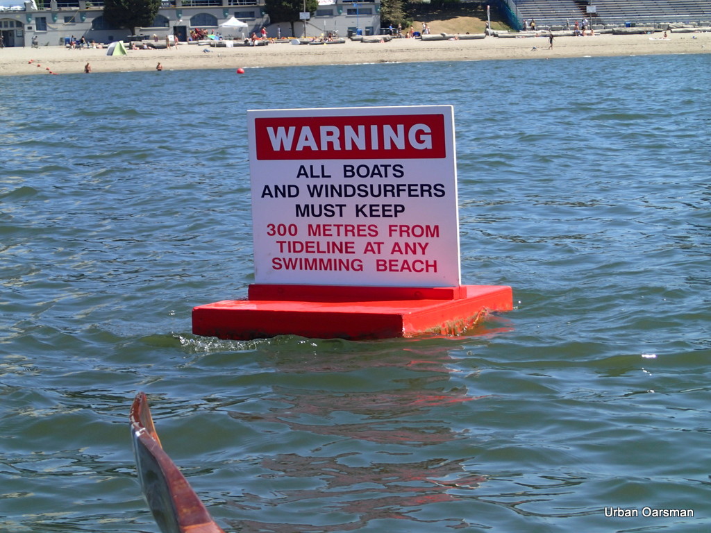 |
| Boaters warning about swimmers and a tidal current indicator. |
If you look closely at the buoy, you can see its bow wave in the current. I am down to less than a knot of forward headway in this current. Looks like it will be a long row. Just over four hours into the row.
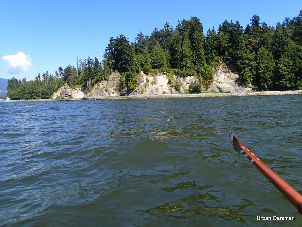 |
| Siwash Rock headland. |
Siwash rock. The counter-current has stopped and I am now making good time, It took me almost an hour and a half to row from English Bay Beach to here. Sometime I feel like the frog that just kept swimming in the butter churn until he churned up enough butter to float on. Sometimes you just have to keep rowing to push over the hump. Just the shipping channel to clear. I hear on channel 12 that there is a freighter coming into Burrard Inlet for 4:00pm. Just enough time to beat it. I only need 20 minutes to cross the Maelstrom (Shipping Channel).
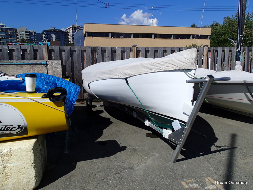 |
| Gwragedd Annwn in her “berth” |
After Six hours at the Oars, I am back home at Hollyburn Sailing Club. Not quite the berth that the rowing boat had at the Quayside Marina, but, still snug enough for Gwragedd Annwn.
Happy rowing,
Mike
Post Views: 72


