Return to Still Creek
Click on picture for larger format image.
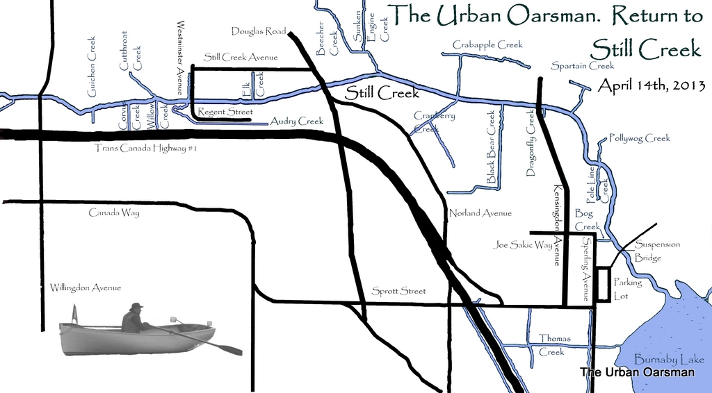
April 14th, 2013. I have returned to Still Creek to explore as far upstream as I have water to row in. I sorta copied this map of Still Creek from “The Waterways of Burnaby”, a PDF file I downloaded from the City of Burnaby site. It looks as if there are a lot of creeks to explore that come off of Still Creek…What I did not realise is that it is the “Waterways of Burnaby” and the “Navigable Waterways of Burnaby” are not the same thing. According to the City of Burnaby Website, The water level of Burnaby Lake varies according to the time of the year. From March 15 to May 15, it is at 131.0′, May 15 to August 15, it is at 131.5′ and from August 15 to September 15, it is at 131.0′ and from September 15 to March 15, it is at 130.5′. Burnaby Lake and Still Creek are five inches deeper than the last time I rowed here. Should be able get further upstream than before.
I park in the parking lot next to the flying field. I put Gwragedd Annwn onto her dolly from her trailer and walk down the trail to the Suspension Bridge.
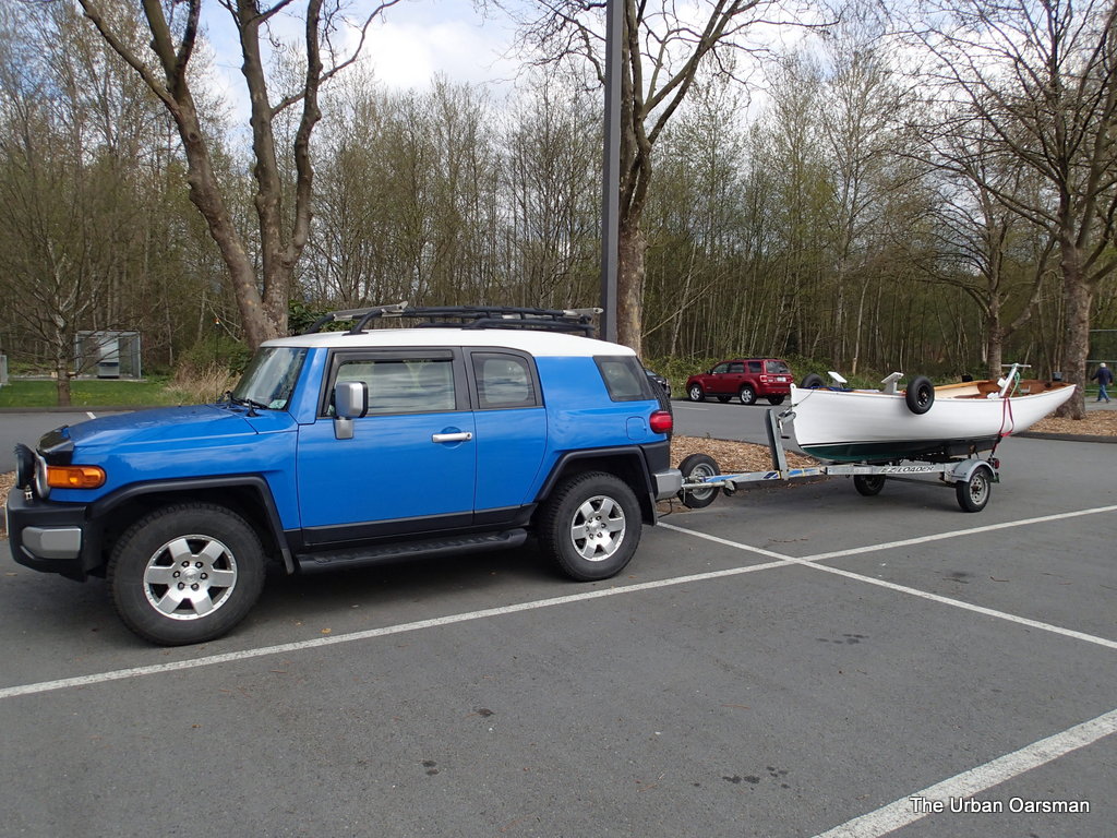 Gwragedd Annwn on her trailer in the Parking Lot. The flying field is to the right (East).
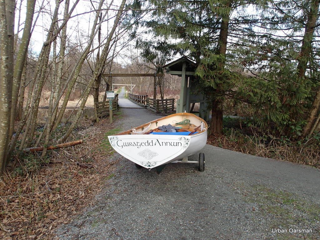 Gwragedd Annwn at the Suspension Bridge. I cross and launch her to the left (West).
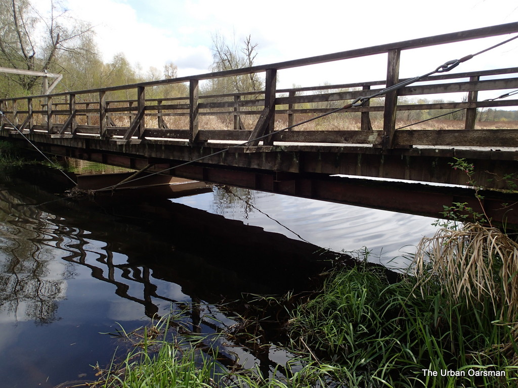 The Suspension Bridge over Still Creek, looking North. Not a lot of clearance under the bridge for Gwragedd Annwn.
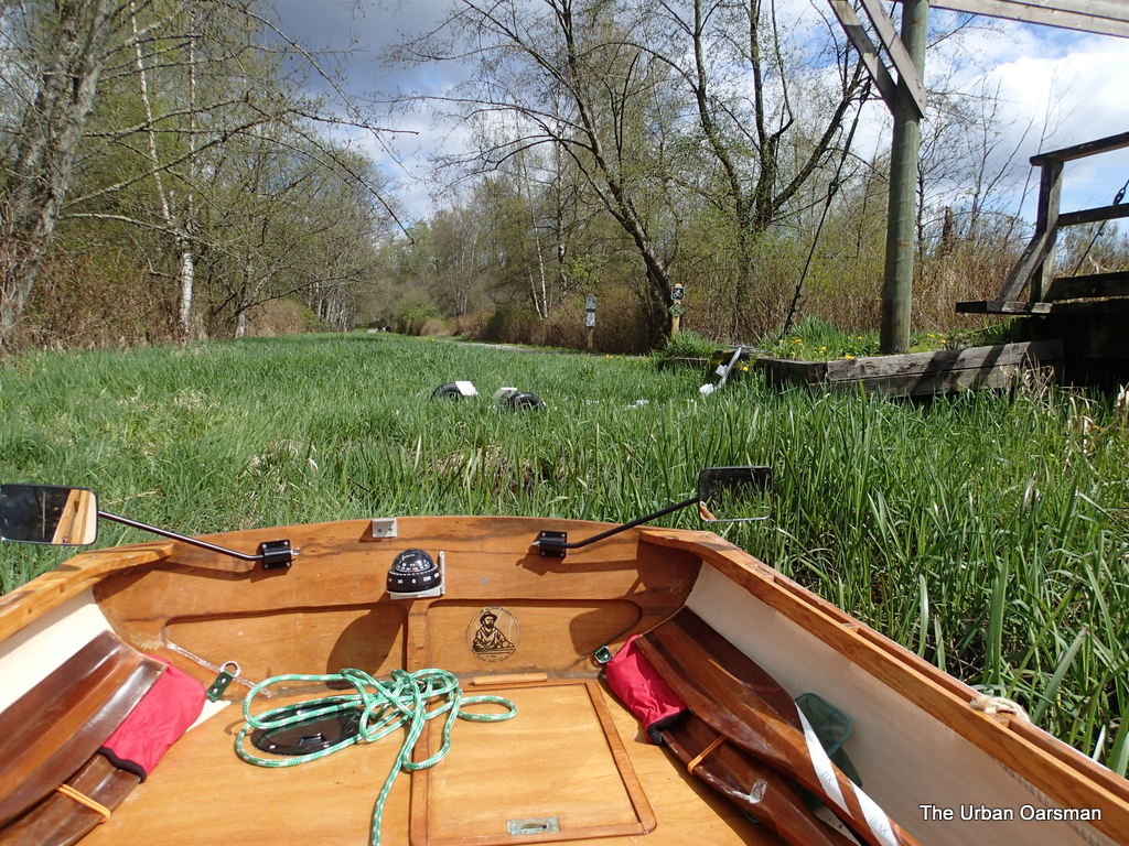 Launching Gwragedd Annwn on the North-West Side of the Suspension Bridge. Dolly in reeds, locked to a post. I am going in the early spring before the reeds have grown too large to launch here.
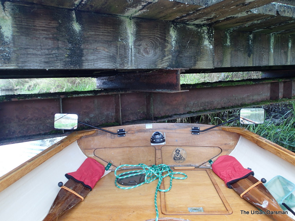 Good thing that I am going upstream, not a lot of room to go under the Bridge.
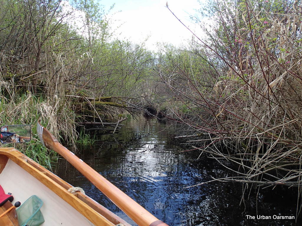
This is a side channel called Pollywog Creek. I should have brought a machete.
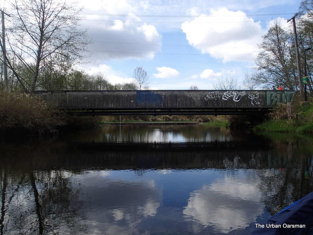 This is the pedestrian overpass at the end of Sperling Avenue. Behind it you can see one of the floating debris barriers that I have to get around. Hopefully there is enough room to the North side to slip Gwragedd Annwn by.
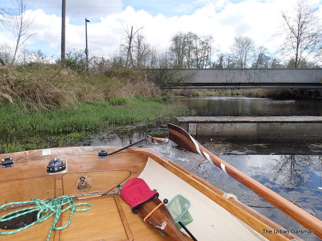
Pollywog Creek is to the Right (North), and Pole Line Creek is to the Left (South).
I guess that you could fish from the debris barrier. It is connected to the shore on the South side.
Just past the debris barrier, heading west up creek.
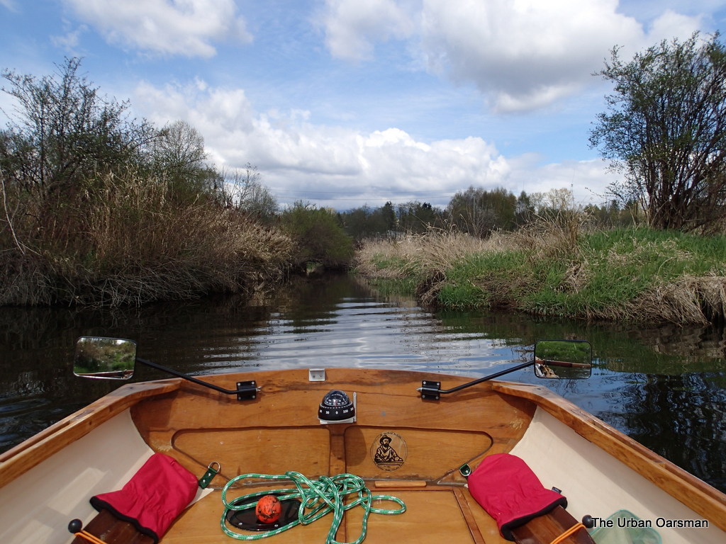 Looking North up Crabapple Creek. I could only go as far as where the tree overhangs the creek.
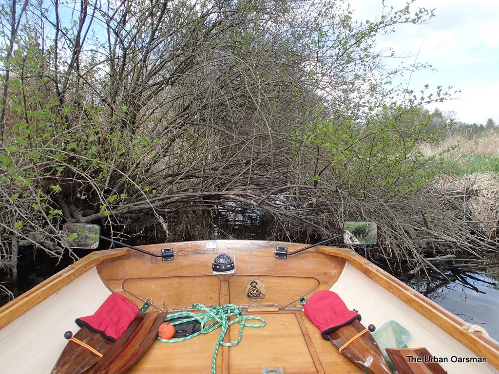 Where the tree overhangs Crabapple Creek. I do need a machete. Or a chain saw.
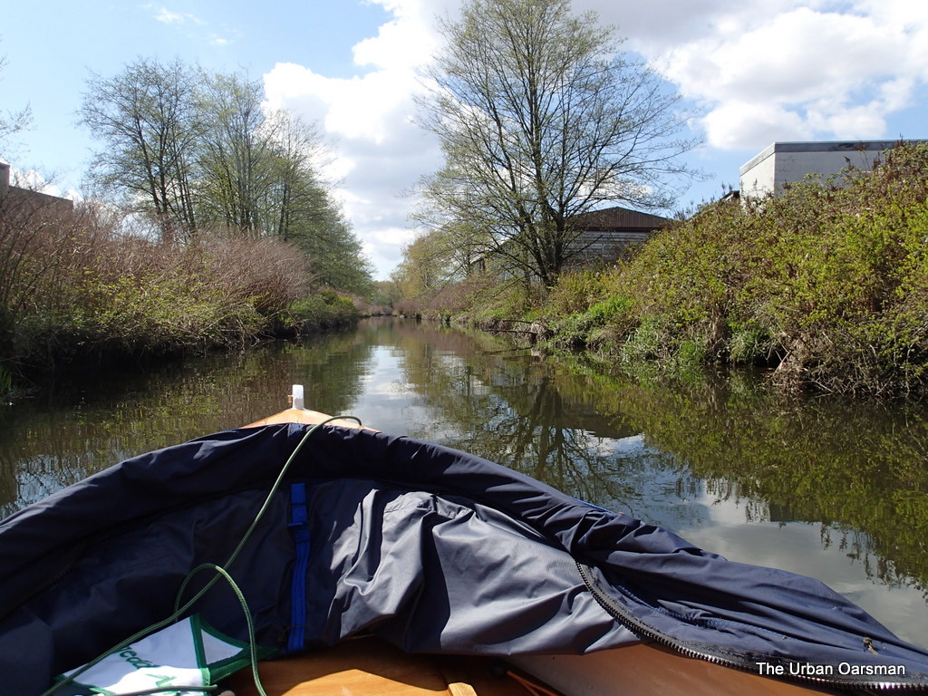
This view is looking South, out of Crabapple Creek towards Still Creek. The entrance to Cranberry Creek is to the right, but is barely visible. Not many of the side creeks are passable by Gwragedd Annwn. Perhaps only by beavers.
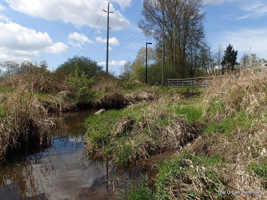 This is the entrance to Sunken Engine Creek which connects to Beecher Creek.
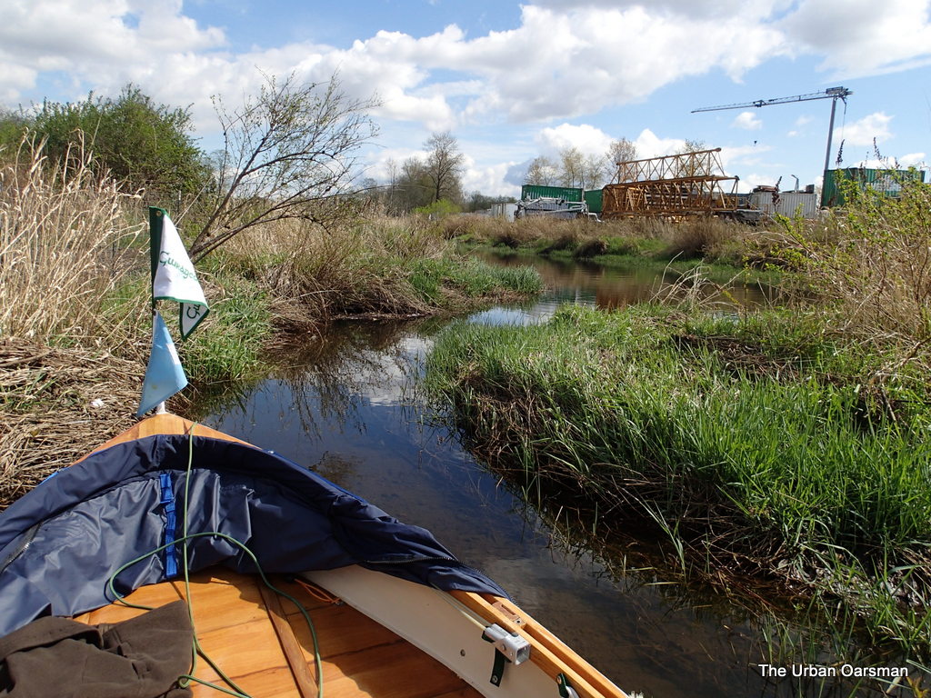 Looking South down Sunken Engine Creek. I cannot get Gwragedd Annwn very for up it, and certainly not to Beecher Creek branch.
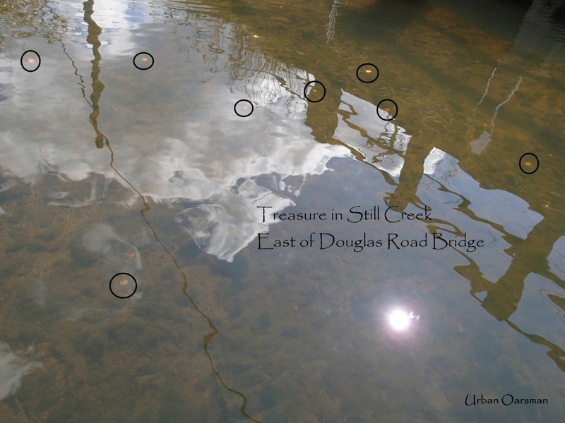 The creek water is getting clearer the further I row West. Just before the Douglas Road, I spot coins in the water. Someone’s lucky wishing well?
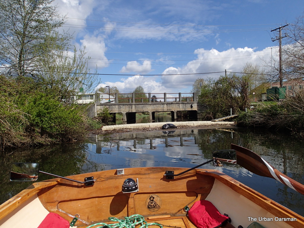 Leaving Douglas Road and another debris barrier in my wake.
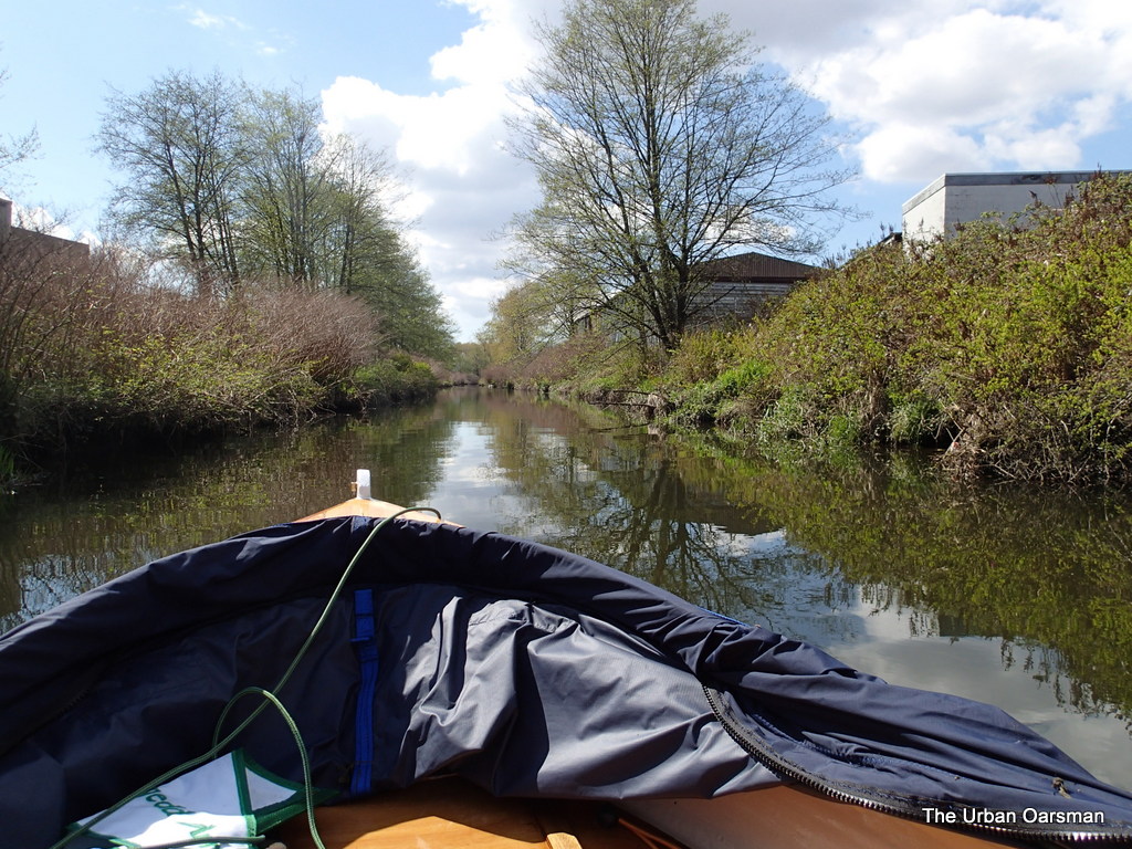 The view ahead to the west past the Douglas Road Bridge.
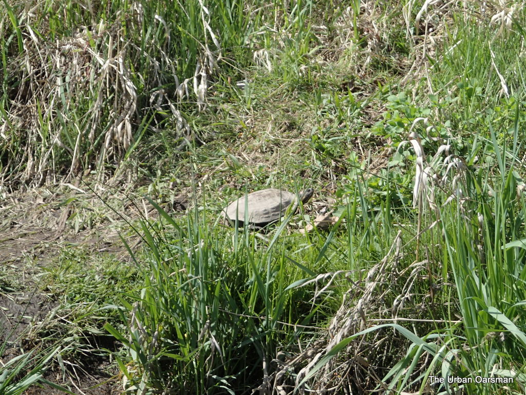 A red-eared slider turtle sunning his/her self on the South Bank of the creek.
I have seen Red-eared Slider turtles before. I have a BC Provincial Museum Handbook, #44, “The Reptiles of British Columbia”, by Patrick T. Gregory and R. Wayne Campbell, 1984, That only identifies two turtles as living in BC. The Northwestern Pond turtle (Clemmys marmorata), collected in British Columbia twice in 1933 and 1936, last reported in 1966. They further state ” In fact, the western Pond Turtle may never have occurred naturally in this province: the two records could be of turtles which escaped after being imported from the south for food” The Western Painted Turtle (Chrysemys picta bellii) which they state …”is restricted to the southern part of the province.” They further state that “There is some question as to the status of coastal populations of Painted Turtles”, that they may be the results of escaped pets.
I have yet to see a Painted or Western Pond Turtle on a rowing trip.
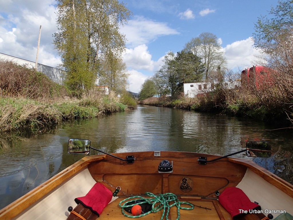 Rowing Gwragedd Annwn up the creek past the industrial buildings on Regent Street to the right (South), and Still Creek Avenue to the left (North).
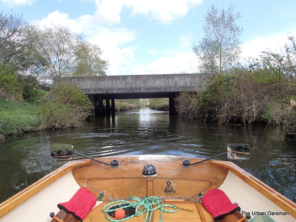 The Westminster Avenue bridge viewed from the Creek.
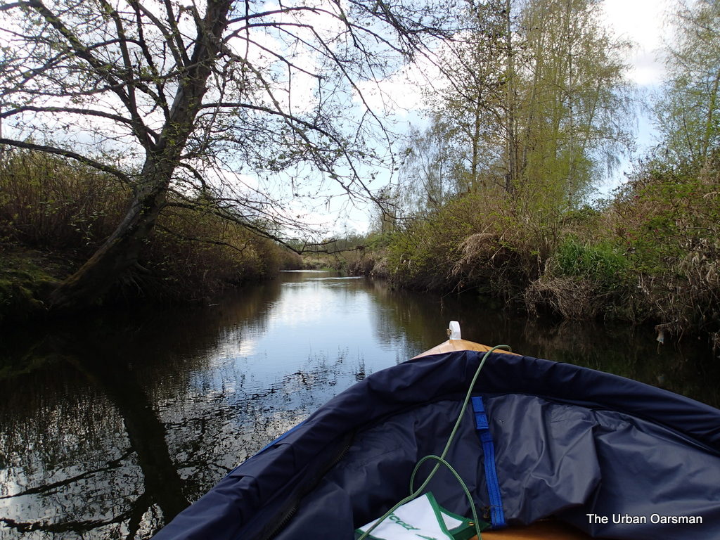 The view Past the Westminster Avenue bridge, the Industrial buildings are no longer on either side of the Creek.
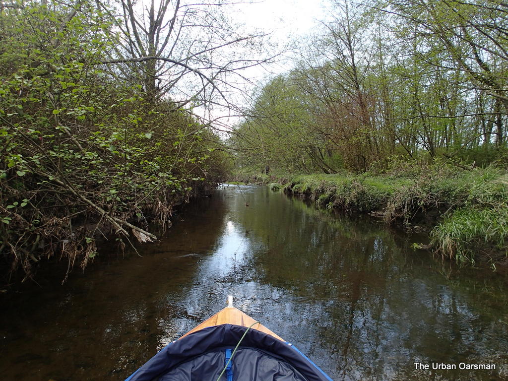 Further up the Creek. I can see the bottom much more clearly. There are fish in the shallows. I think that they are trout, but, never get a good enough view to make sure.
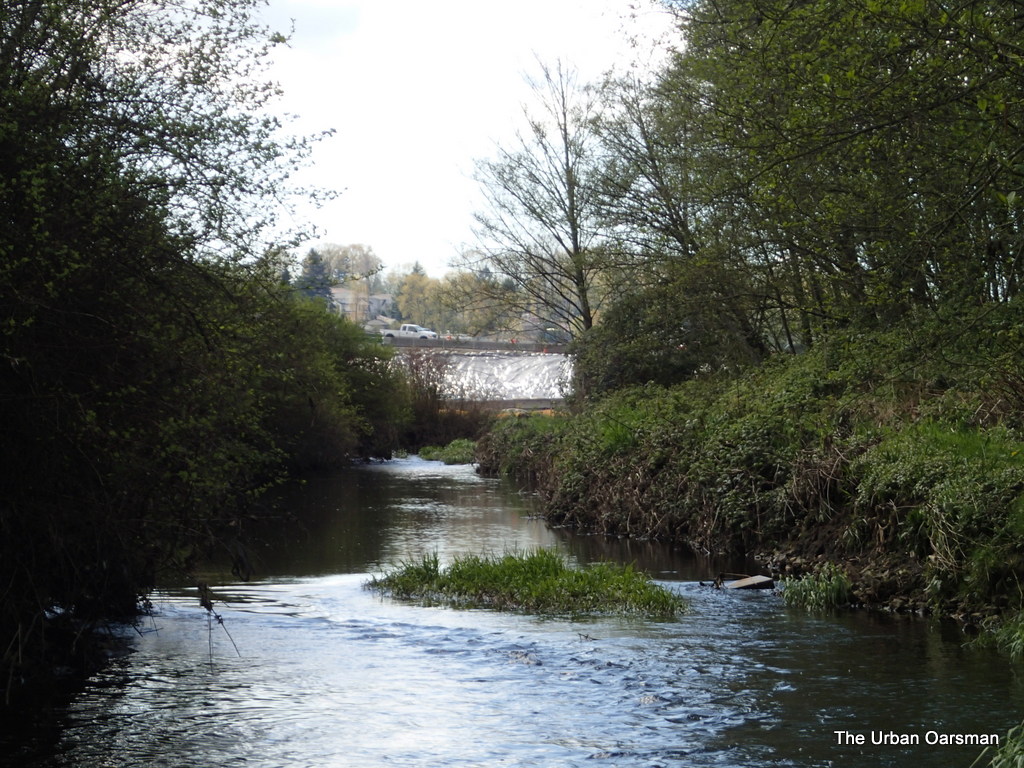 Where the Creek starts flowing too fast and shallow to row up. The truck is on Willingdon Avenue. Costco is to the right (North) behind the trees. This is a far as I go. I have reached the “Headwaters” of Still Creek.
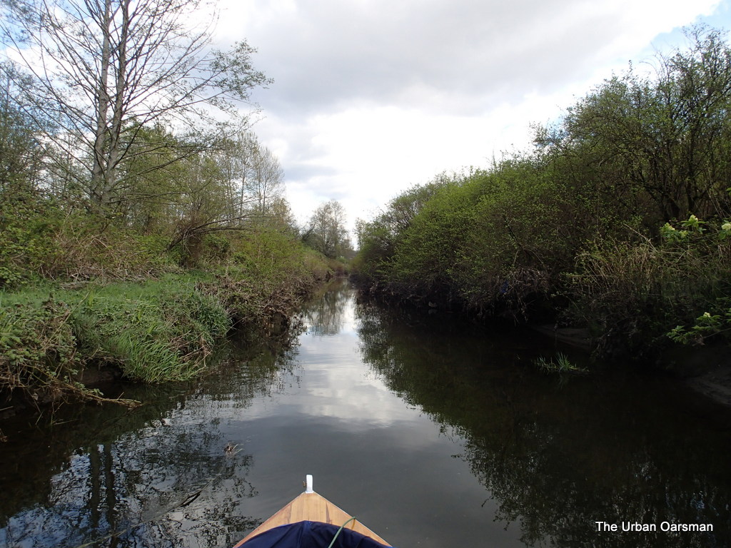 The view back the way I came. Costco is to the Left (North) behind the trees and the Trans-Canada Highway is to the right (South). A view like this could be in any wilderness Rowing trip. What really makes you know that you are in the city is the ever-present traffic noise.
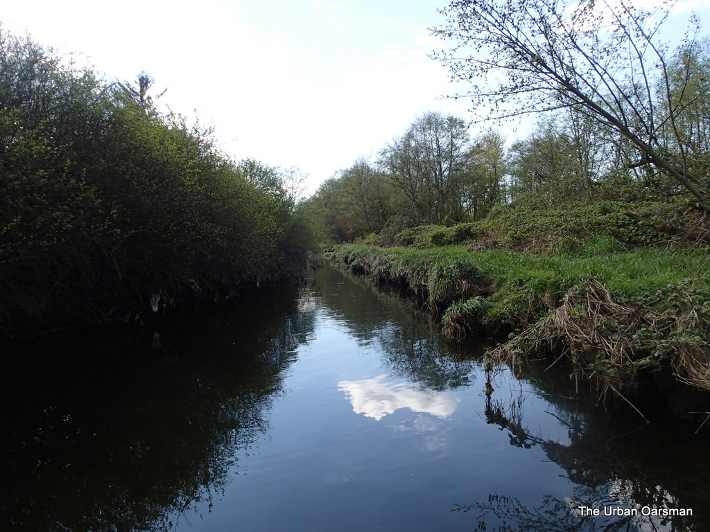 Looking East again, there are bushes close to the shore and in the tight spots I break off branches passing by. Gwragedd Annwn accumulates a lot of twigs in her bilge.
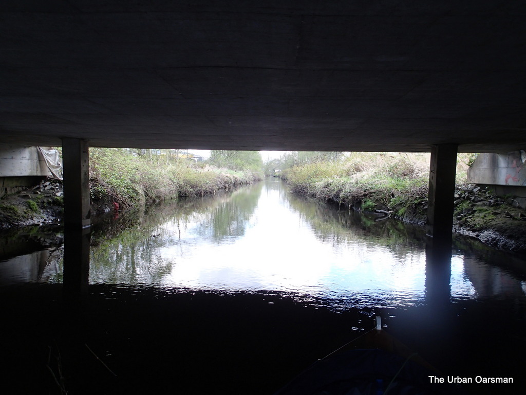 Going under the Westminster Bridge on the way back.
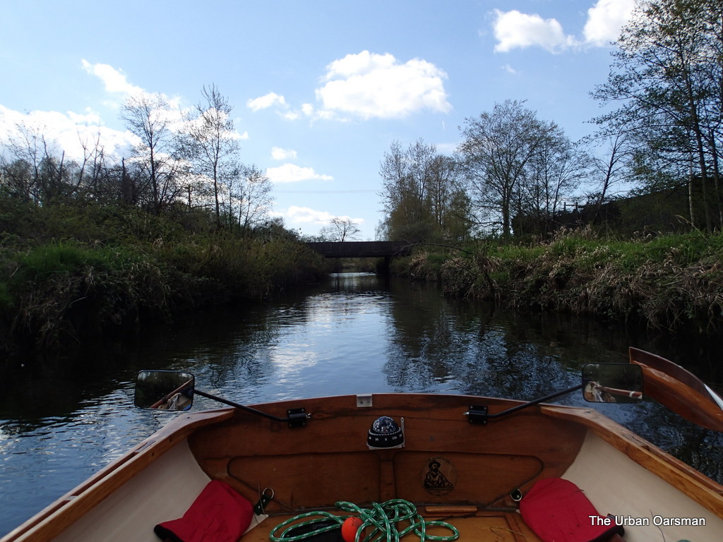 Leaving the Westminster Avenue Bridge astern.
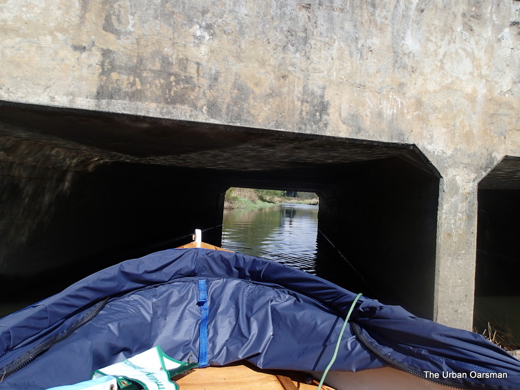 Close-up view of going under the Douglas Road Bridge. On the East side of the bridge is where I saw the coins on the Creek bed.
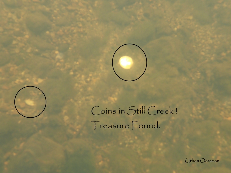 I brought a magnet on a line and a net to salvage some of the coins.
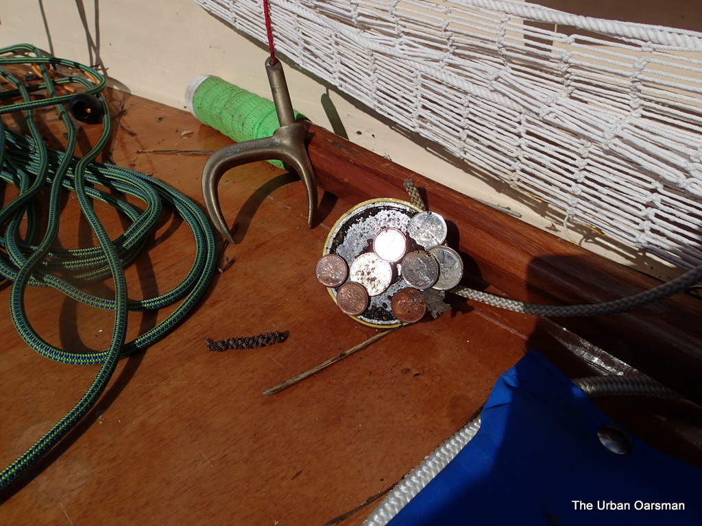 Salvaged Booty! Some how I do not think that I will get rich on the recovered treasure of Still Creek.
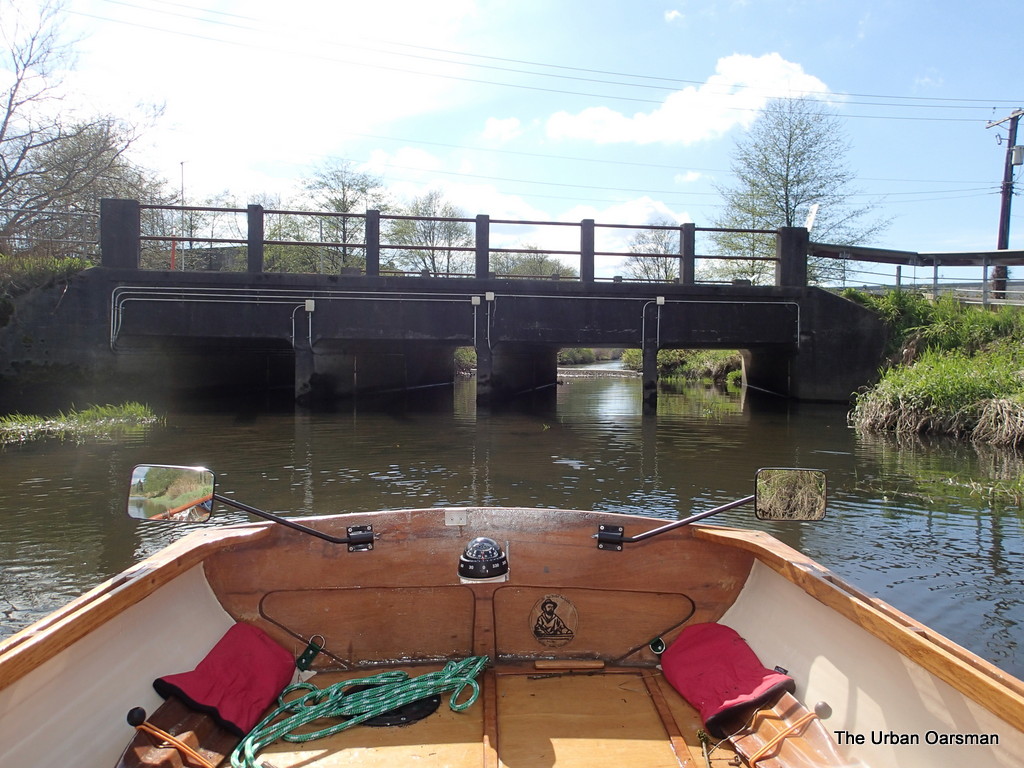 Leaving the Douglas Road Bridge and the Still Creek Treasure bed behind.
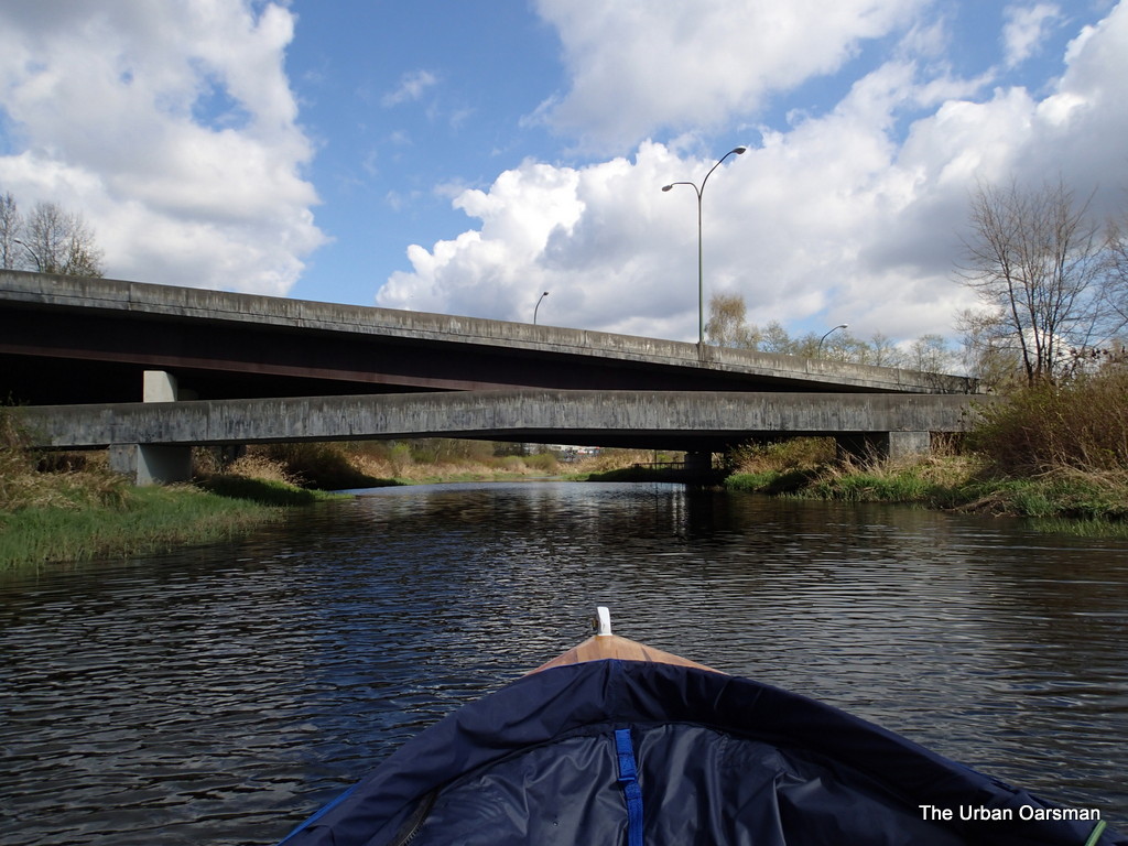 Rowing up to the Kensingdon Avenue Pedestrian Bridge and road Bridge. Still Creek is quite wide here and I wonder do Kayakers and Canoests paddle here? It is a shame that there is no easier access for water craft to this stretch of Still Creek than the ad-hoc one I used with Gwragedd Annwn.
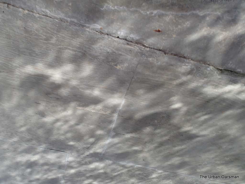 Reflections on the underside of the pedestrian overpass.
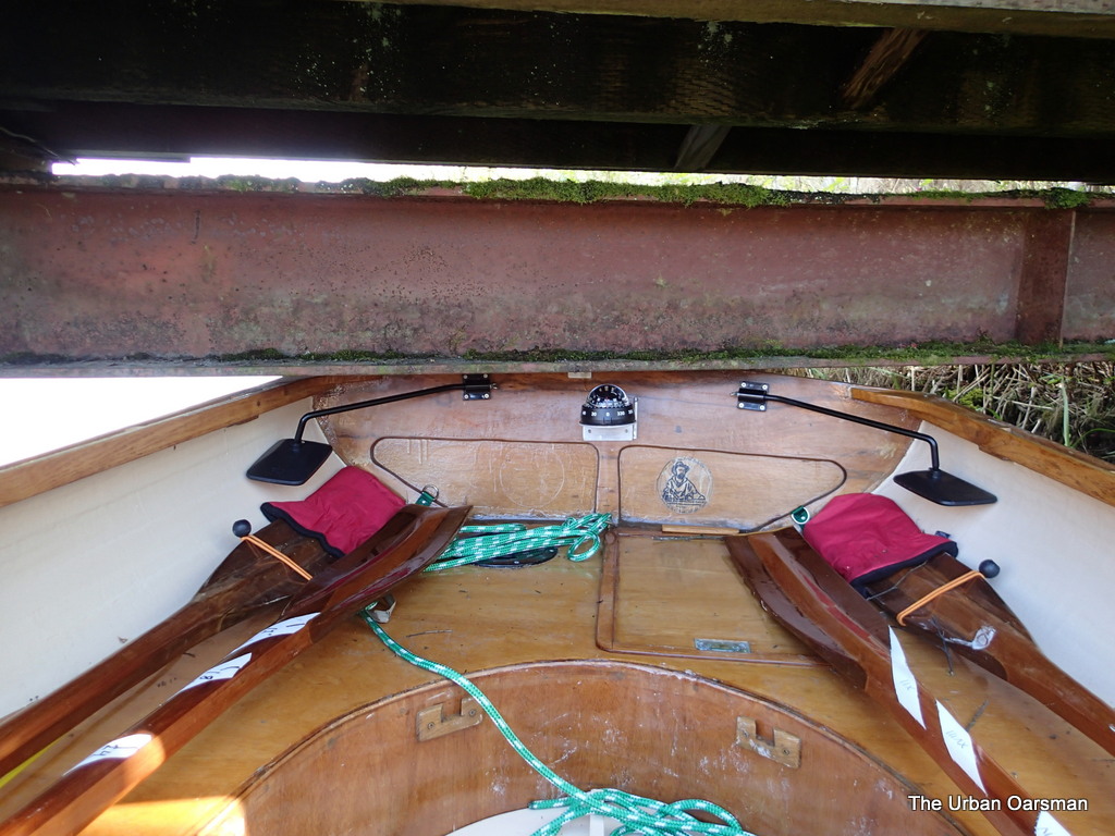 I decide that the reeds are too thick and the ground too muddy to take Gwragedd Annwn out on the North-West side of the suspension bridge. I will take her out on the South-East side where I retrieved her on the Burnaby Lake row. To do this, I must get her under the bridge. I find that if I move to the stern, she will just clear. Using my body weight, I manuver her under the bridge, crawling along her deck to depress her enough to clear the bridge. A slow and awkward process.
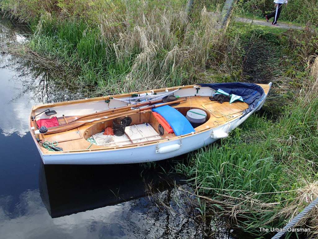 Gwragedd Annwn on the South-East shore, ready to be hauled up the beaver rut to her dolly, her trailer and to home.
This is the end of the row “Return to Still Creek”.
I think that Burnaby Lake and Still Creek would get more rowing/paddling usage if there was a way to get your boat into the waters more easily. A boat launch for human powered craft brought from your home to the lake for day use at the rowing centre would be a great idea.
I hope you try out Burnaby Lake and or Still Creek sometime. A bit of wilderness right here.
Good Rowing,
Mike
Post Views: 57
This entry was posted in
Under the Keel..... Bookmark the
permalink.
 Gwragedd Annwn on her trailer in the Parking Lot. The flying field is to the right (East).
  Gwragedd Annwn at the Suspension Bridge. I cross and launch her to the left (West).
  The Suspension Bridge over Still Creek, looking North. Not a lot of clearance under the bridge for Gwragedd Annwn.
  Launching Gwragedd Annwn on the North-West Side of the Suspension Bridge. Dolly in reeds, locked to a post. I am going in the early spring before the reeds have grown too large to launch here.
 Good thing that I am going upstream, not a lot of room to go under the Bridge.

 This is the pedestrian overpass at the end of Sperling Avenue. Behind it you can see one of the floating debris barriers that I have to get around. Hopefully there is enough room to the North side to slip Gwragedd Annwn by.
 Looking North up Crabapple Creek. I could only go as far as where the tree overhangs the creek.


