The Last Row of 2014. The Urban Oarsman Rows up the Coquitlam River to the Red Bridge.
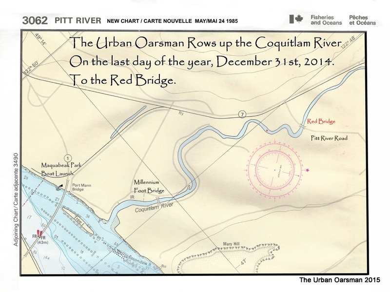
The last Row of 2014. It has been a good year for Rowing. Today I am going to Row up the Coquitlam River as far as I can. The tide at New Westminster will be high at 1:49 at 2.9 meters. The Coquitlam River is about 8.5 kilometers up the Fraser River from the New Westminster tide station. I expect the high tide will be a little later arriving at the Coquitlam.
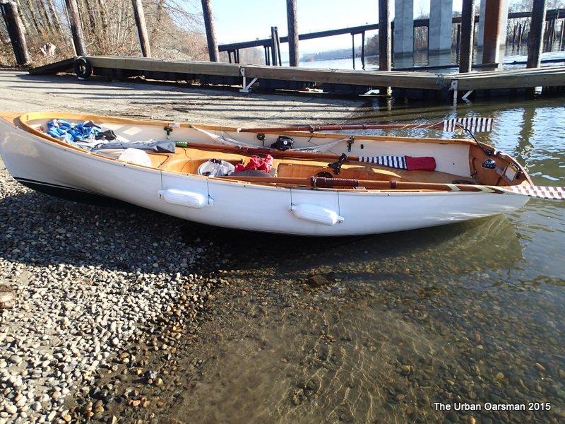 Gwragedd Annwn on the beach at the Maquabeak Park boat launch. This launch is just down river from the New Port Mann Bridge. The boat launch is a bit of a mess. There is another project centred here…The Port Mann Water Supply Tunnel Fraser River Crossing.
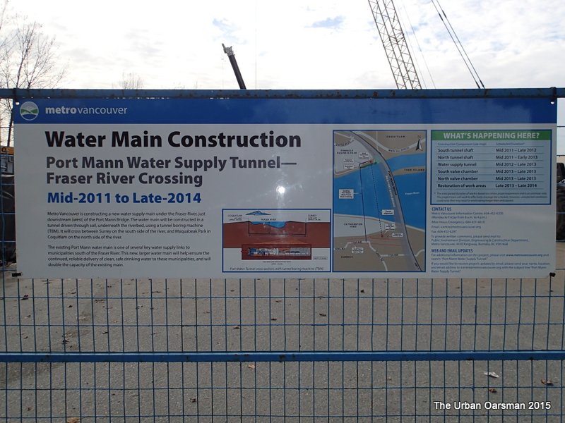
Metro Vancouver is constructing a new water supply main under the Fraser River, downstream (west) of the new Port Mann Bridge.
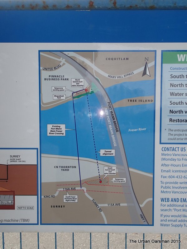
It will cross between Maquabeak Park in Coquitlam on the north side of the river, and Surrey on the south side of the river.
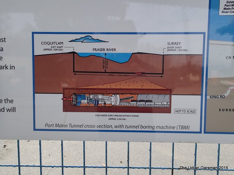
The tunnel hole is centred where the boat launch parking used to be. Luckly I am the only truck & trailer here today.
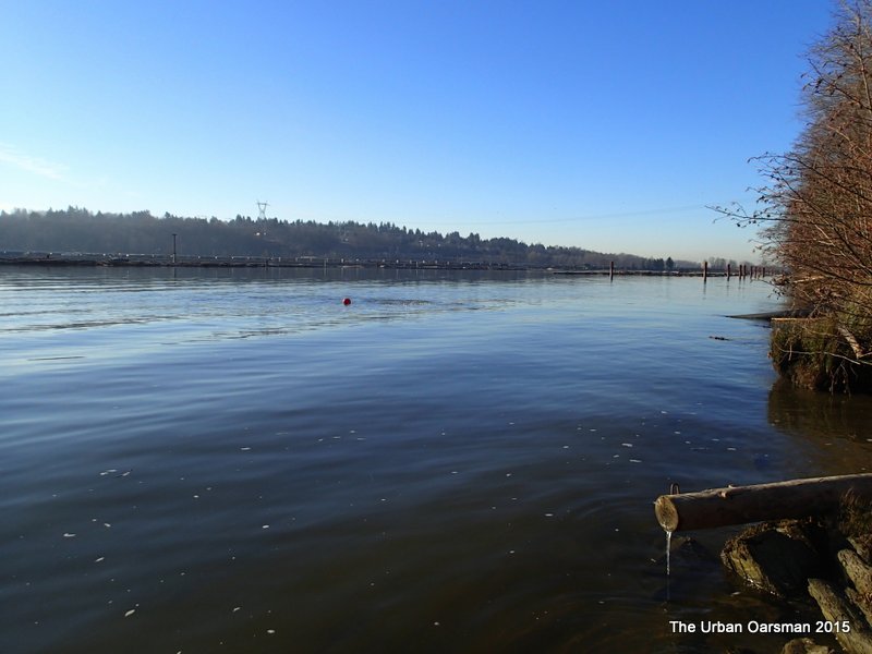 Two buoys mark the pump outfall from the project?
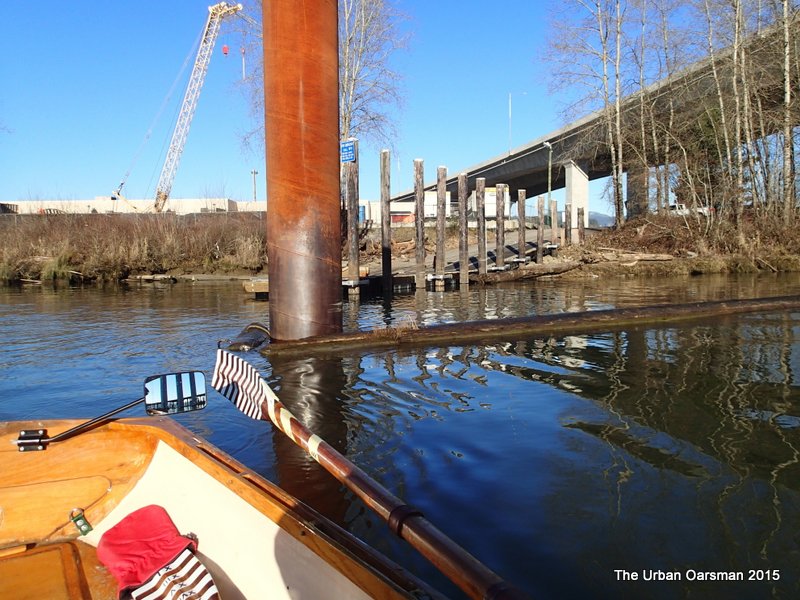 The boat launch float. The water is very still. It is about 800 meters to the mouth of the Coquitlam.
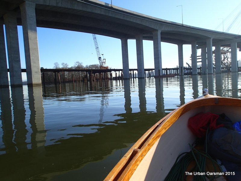 The bridge suppoerts for the new Port Mann. In the background is the temporary jetty for removing the old Port Mann.
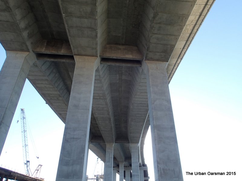 Underside of the new Port Mann Bridge, looking South.
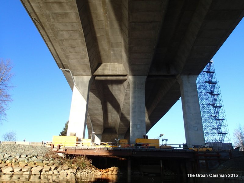 Underside of the new bridge, looking North.
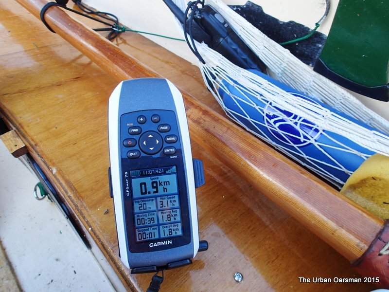 The GPS shows a almost 1 km/hr upstream current.
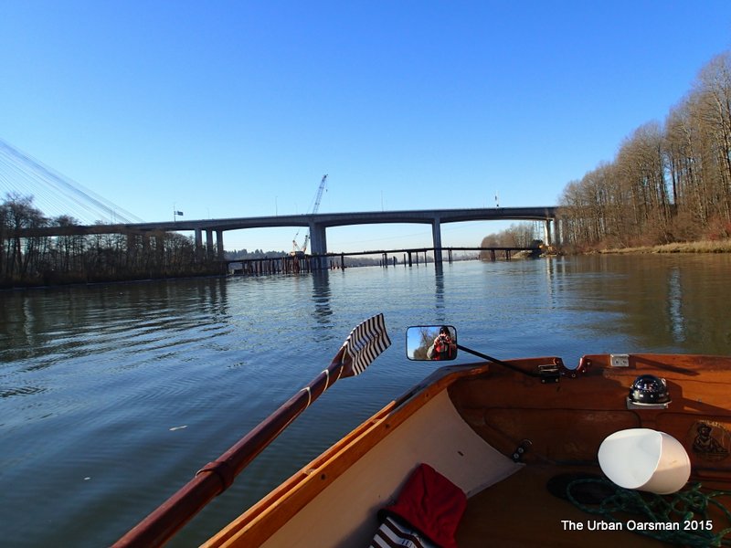 About half-way to the mouth of the Coquitlam.
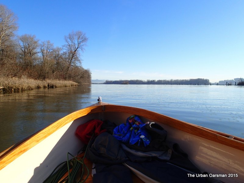 Looking up river. The Pitt River is to the Port, the Fraser to Starboard.
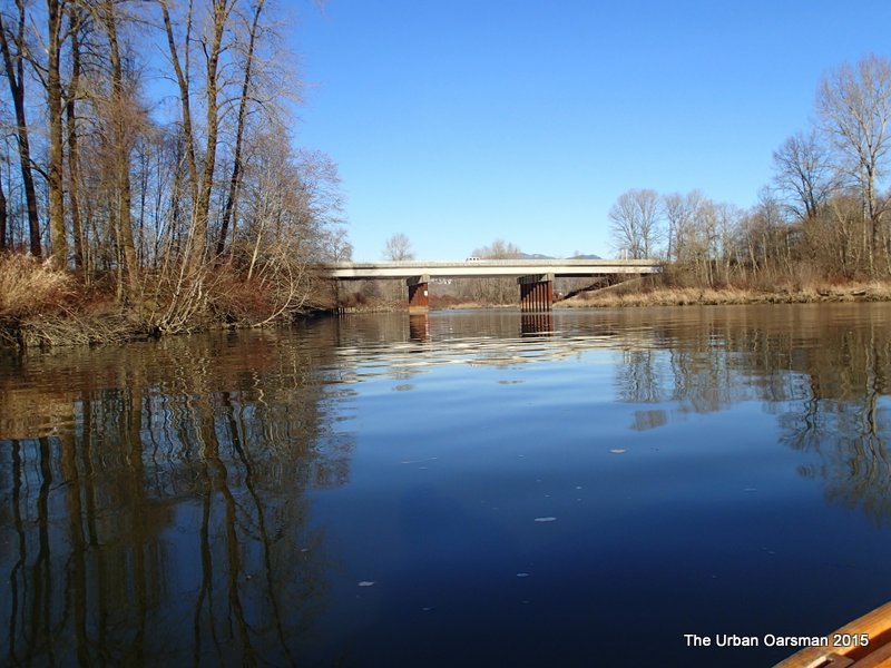 Entering the mouth of the Coquitlam. The Mary Hill By-Pass Bridge.
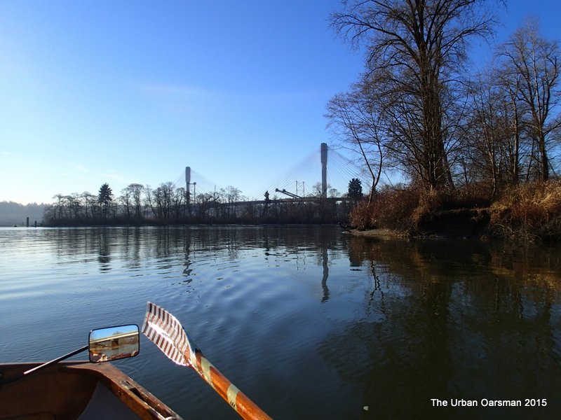 Rowing up the Coquitlam, I leave the Fraser behind.
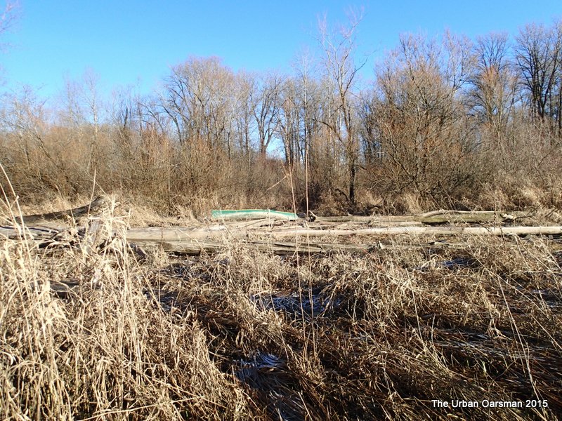 There is a canoe on the Eastern shore. Warants further exploration.
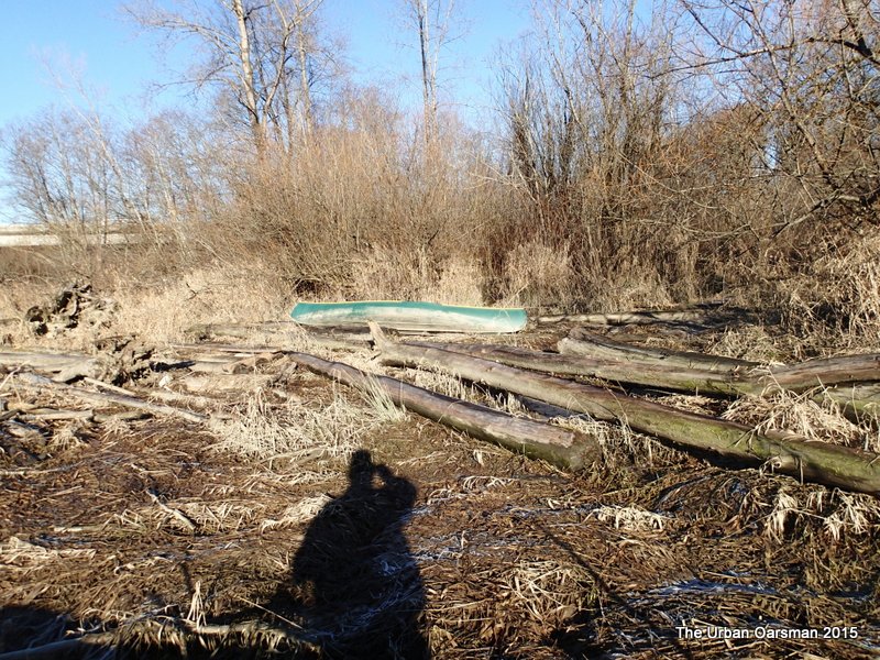 Approaching the canoe.
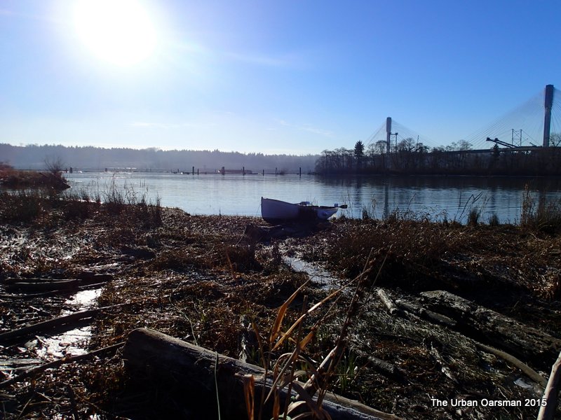 Gwragedd Annwn on the shore.
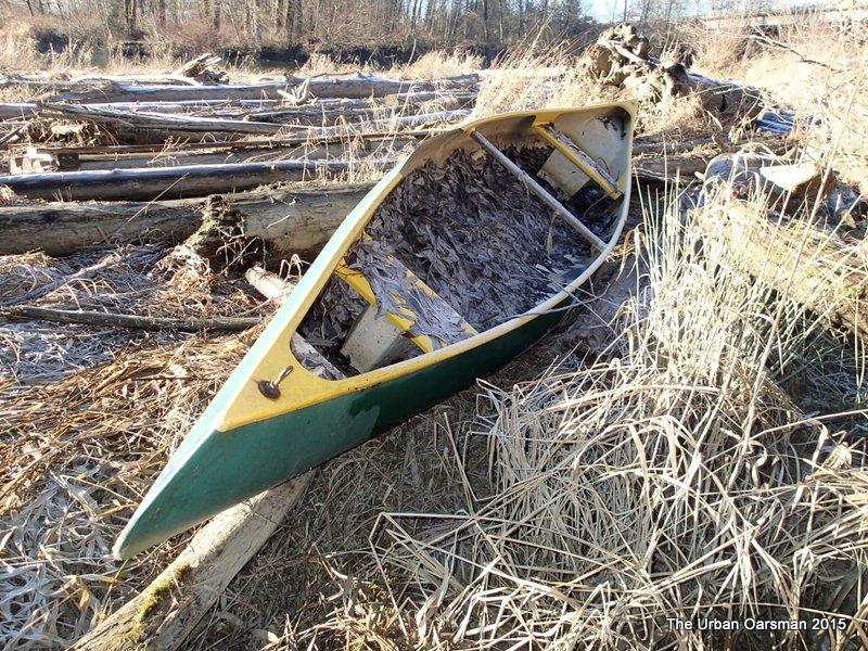 The canoe looks abandoned. The Starboard gunnel is broken. It is full of leaves. Otherwise, she looks to be in reasonable shape. Just a little work would be needed.
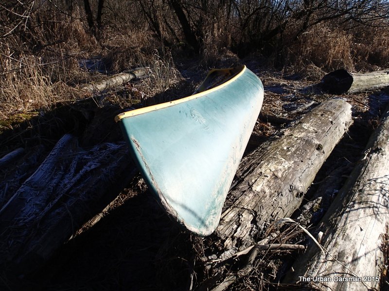 She was built by THORA – IND. PLAS, TORONTO. I will have another look on my way back.
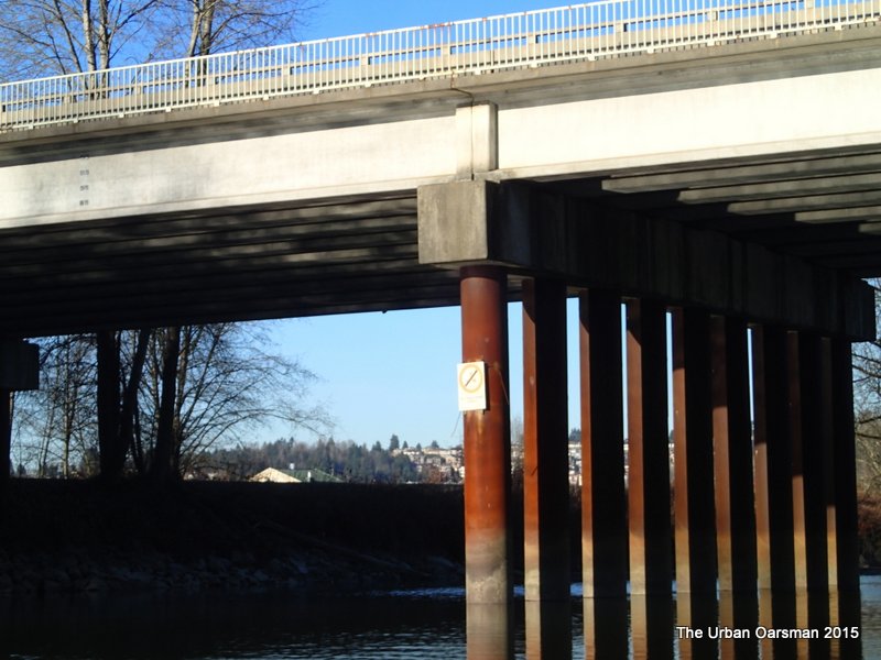 I go to row under the Mary Hill By-Pass Bridge with its mandatory “No Power Driven Craft” sign.
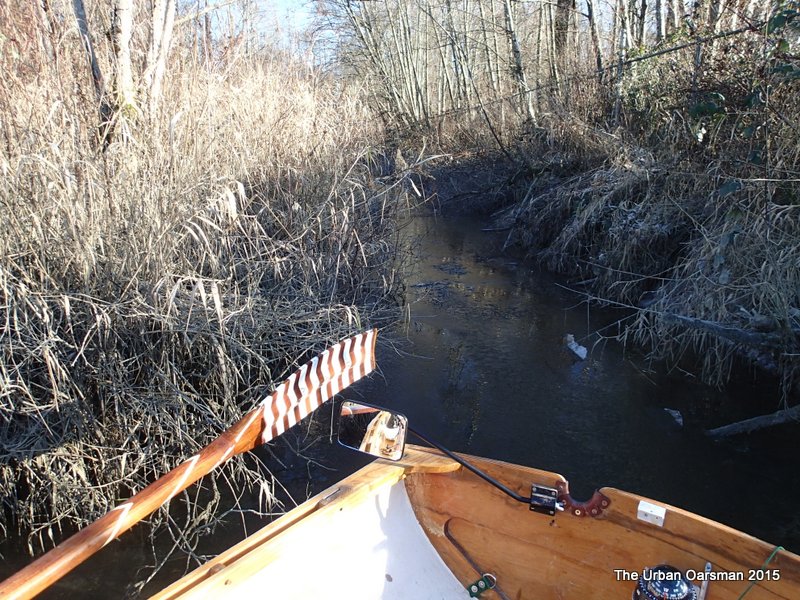 Just before the bridge, on the East shore, a side channel beckons. I check it out…narrow, shallow and blocked.
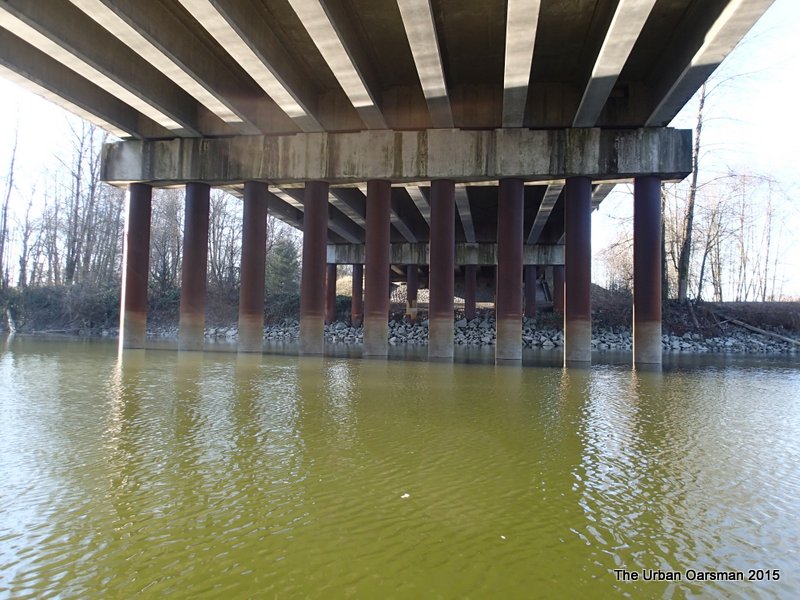 Underside of the Mary Hill By-Pass Bridge.
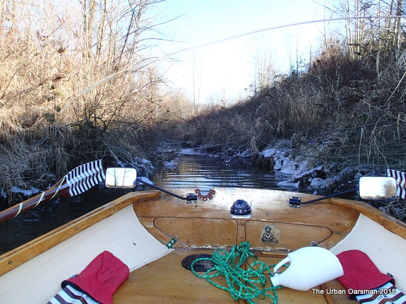 A side channel on the upstream side of the bridge. It is on the north side of the Mary Hill By-Pass. Not as narrow as the first channel, but, still impassable for Gwragedd Annwn.
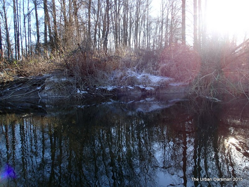 The Eastern shore is still in shadow. The ice remains.
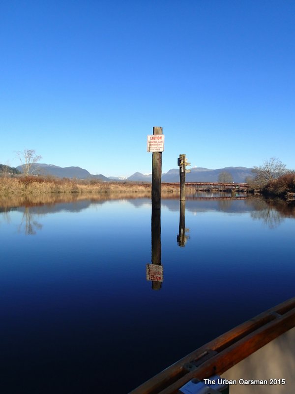 The sign reads:
CAUTION
NAVIGATIONAL HAZARD
SUBMERGED DEBRIS
NO POWER BOATS ALLOWED
BEYOND THIS POINT
I do not see any debris as I row Gwragedd Annwn past the four signed pilings.
The upstream piling on the East side has bird houses on it as well as the warning sign.
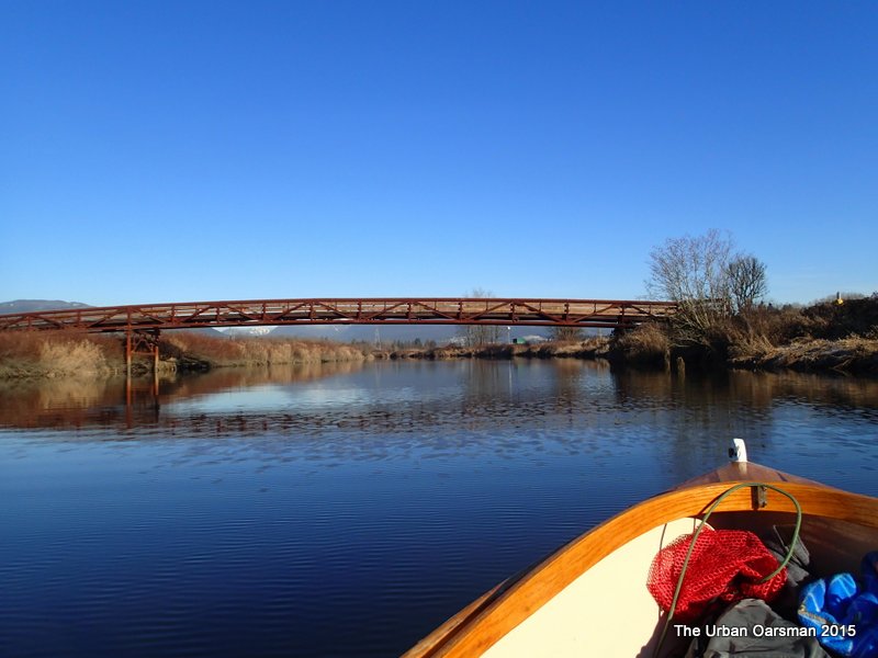 The Millennium Foot Bridge.
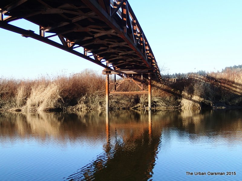 Fancy Iron work on the Western side.
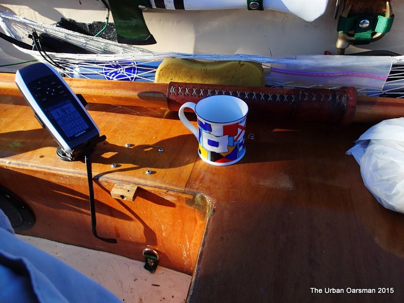 Just over half an hour into the Row. Time for a coffee.
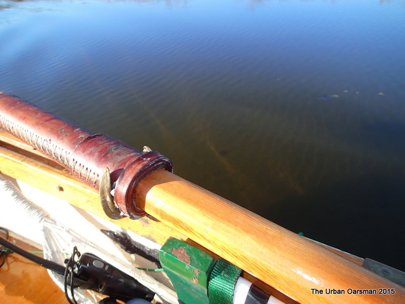 I begin to see the river bed. Still more than 24″ of water.
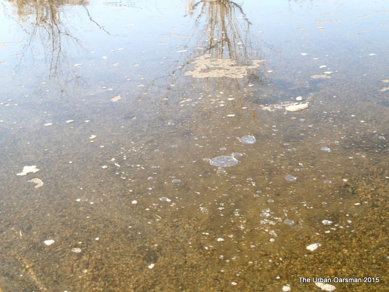 In the still sides of the river there is some ice.
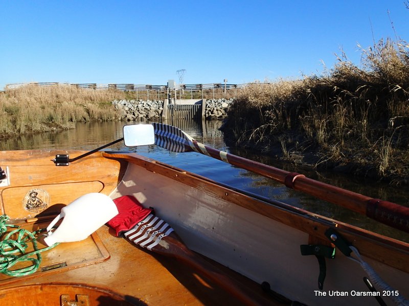 Pump house on the Eastern shore.
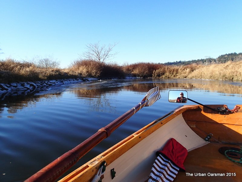 The pump house has a small bay next to it. The water is frozen on the West side of the inlet, in the shadows. I Row in to explore.
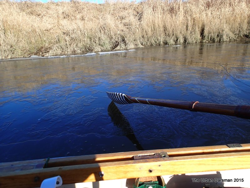 Gwragedd Annwn’s Depth-Sounder Oar resting on the ice.
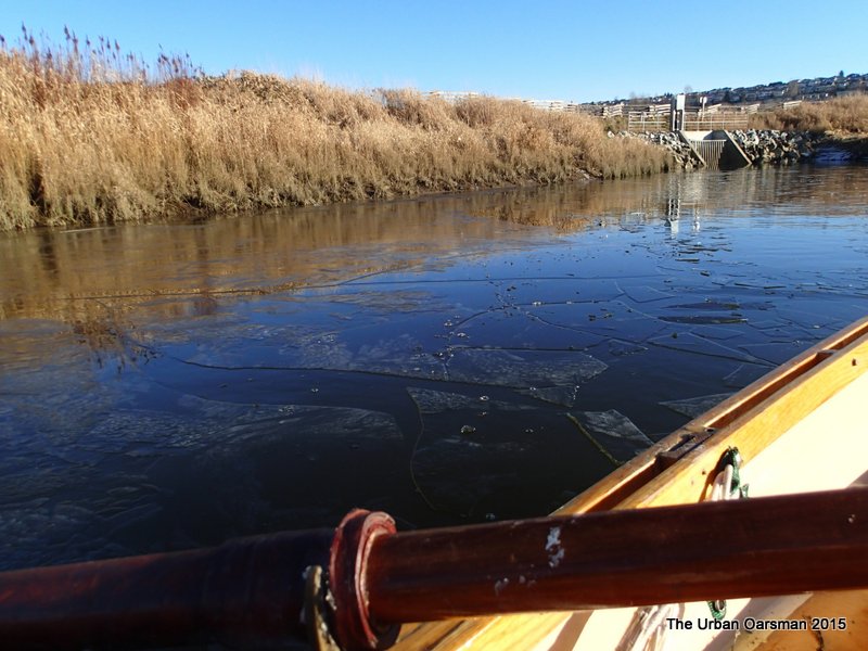 Rowing out through the now broken ice. Gwragedd Annwn’s Strip/epoxy hull is ice proof. The hardest part about rowing through the ice is trying to get the oars to break through the ice.
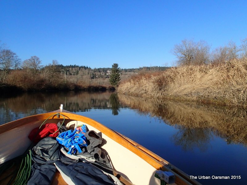 Heading upstream again.
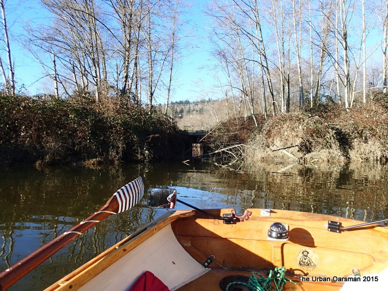 A drainage canal on the West bank. It leads to an inaccessible oxbow between the river and Lougheed Highway. From now on, I could hear the roar-whoosh of the highway on the West.
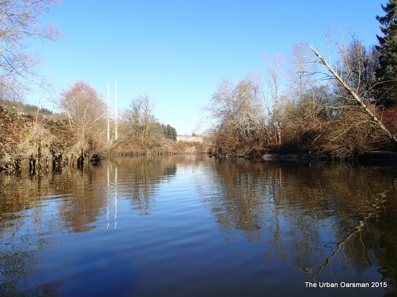 Looking up river again.
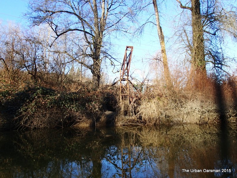 Some sort of crane. It is on the North-West bank.
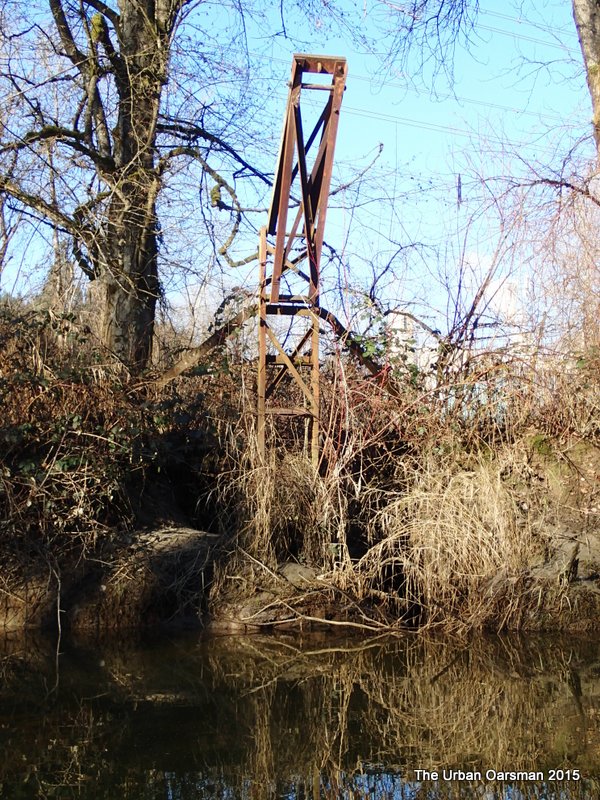 Close-up of the crane. I have no idea what it was used for.
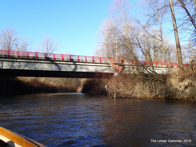 Pitt River Road crosses the Coquitlam River on the Red Bridge. This is a far as I got. The current here was too strong for me to Row against. End of the Row.
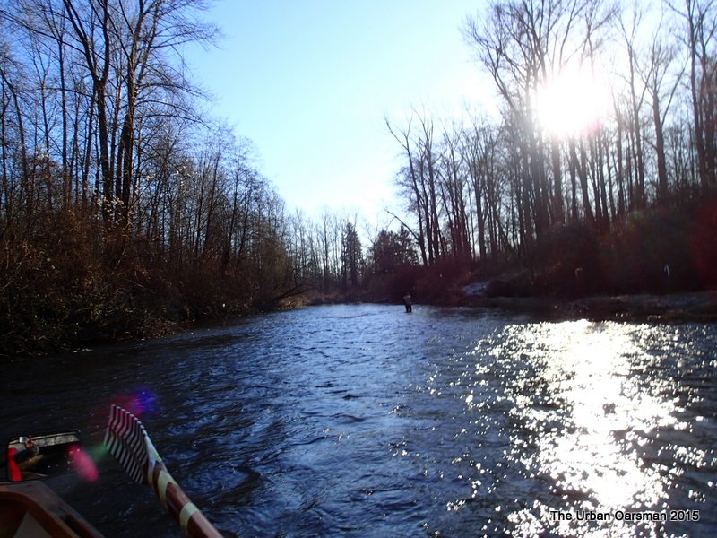 Just downriver from the bridge, there was a fellow fly fishing. Despite the puzzled look on his face, as I rowed past, we had a nice conversation about the river, rowing and fishing. I think that I am the first rowboat that he has ever seen here.
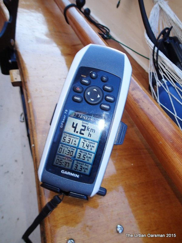 Speed of the River current as I pass the fisherman. The 7.2 reading was the current speed at the Red Bridge.
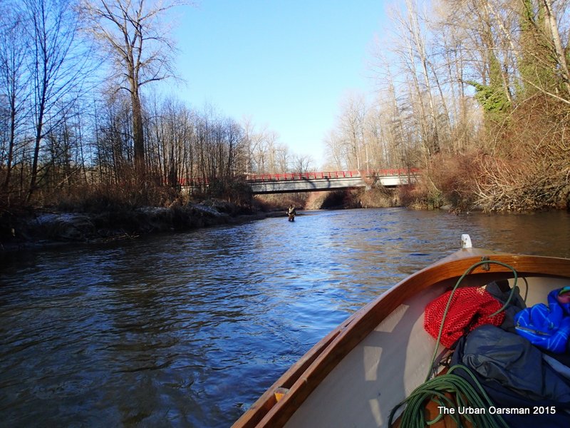 It is always easier downstream. I usually go backwards so I can see the snags in the river.
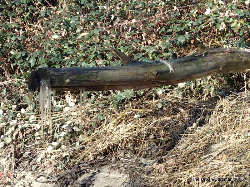 This log had interesting icicles and the bones of a fish on it.
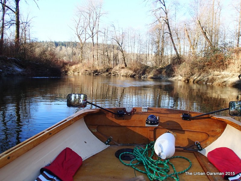 The tide begins to effect the Coquitlam’s flow.
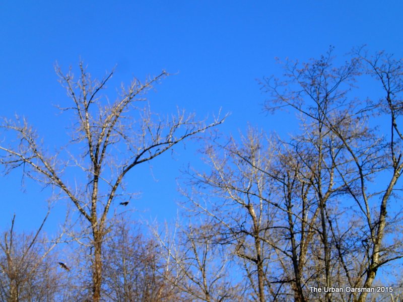 Bald Eagles in the trees.
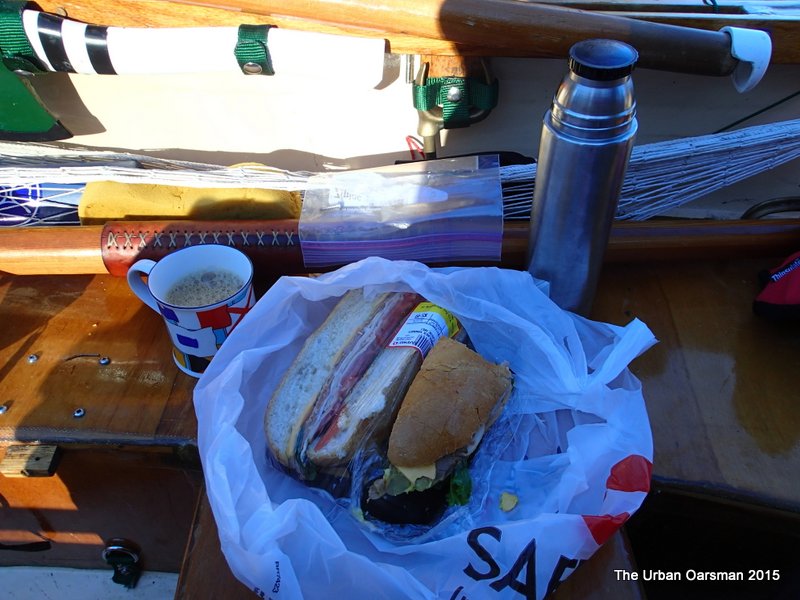 Lunch time for the Urban Oarsman.
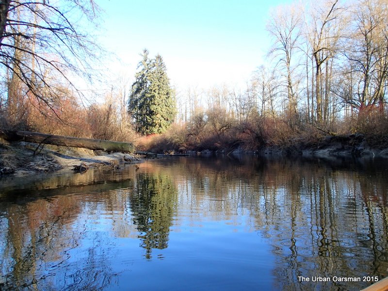 This spot where the tide has reached is shown by a red star on the chart at the beginning of this Row.
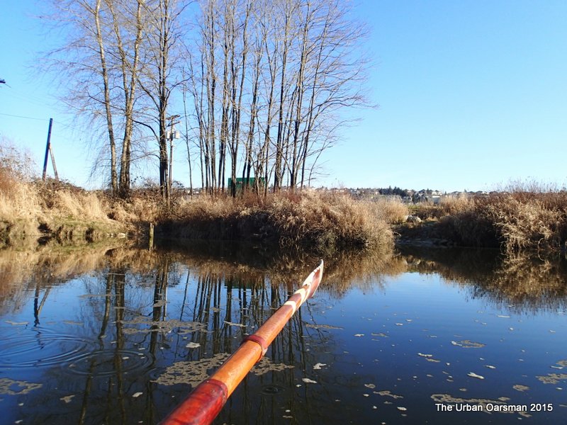 A pump station on the East shore. There are four interconnected drainage canals on the East.
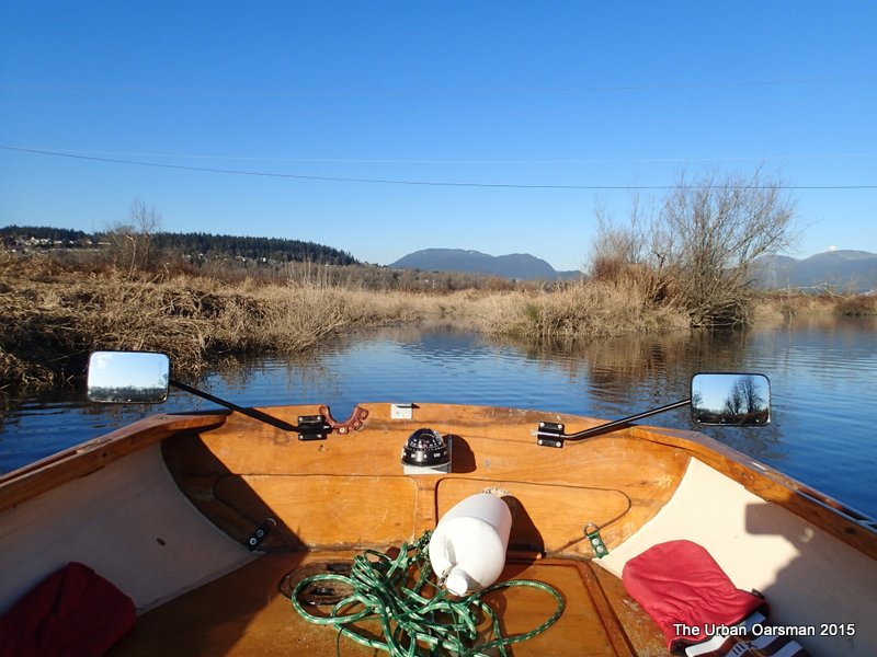 This canal leads to one of the three drainage canals on the West shore.
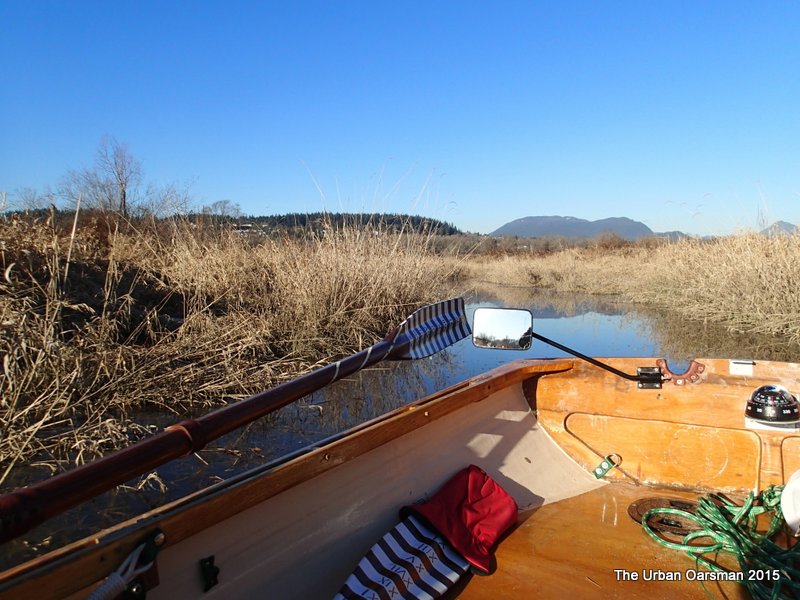 Poling up the canal.
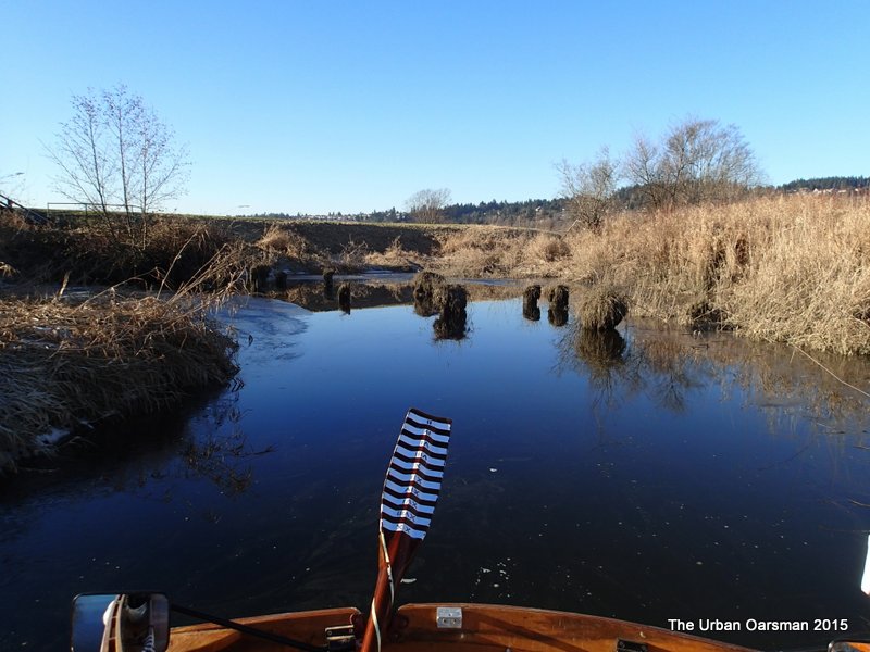 End of the drainage canal. Did this used to be a dock?
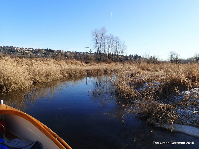 Sculling back out to the Coquitlam.
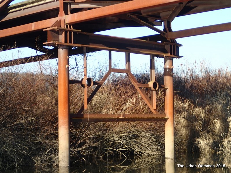 A better view of the fancy Iron work on the Millennium Foot Bridge.
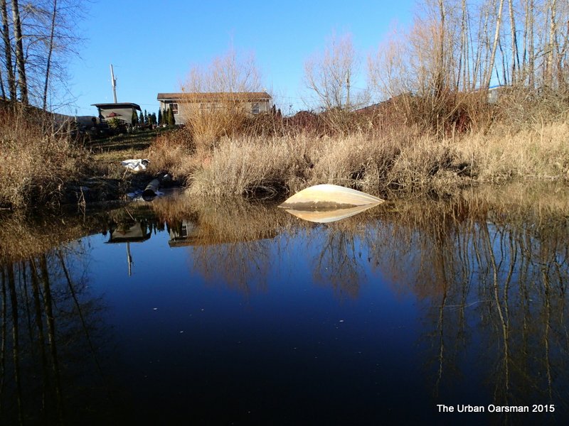 This is the bow of a submerged boat. The boat is upside-down, bow facing to the left in this photograph.
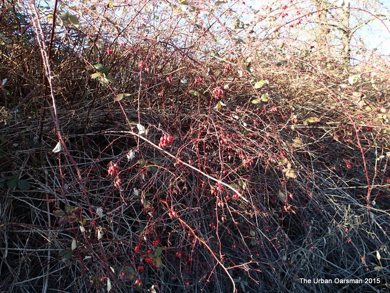 The West bank is crowded with wild rose hips.
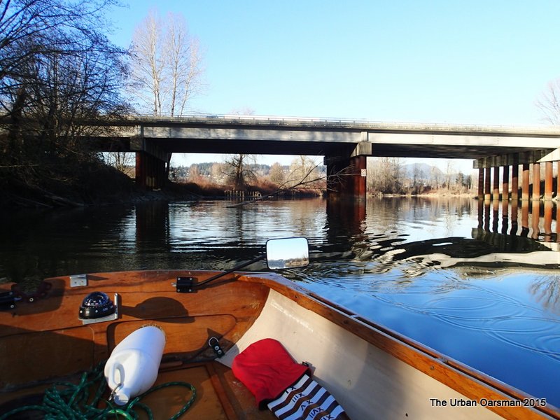 Leaving the mouth of the Coquitlam, following the Western shore. The green canoe that was on the East shore is gone.
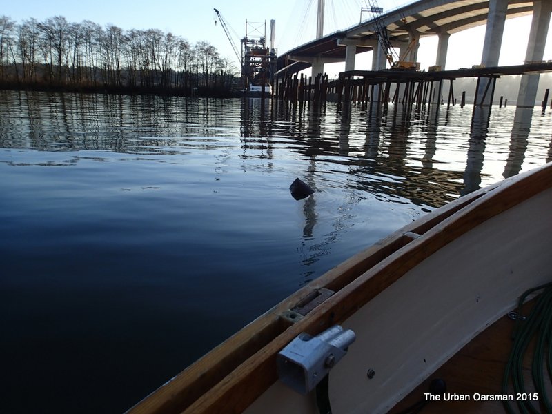 While rowing downriver back to the Maquabeak boat launch I see a snag in the water.
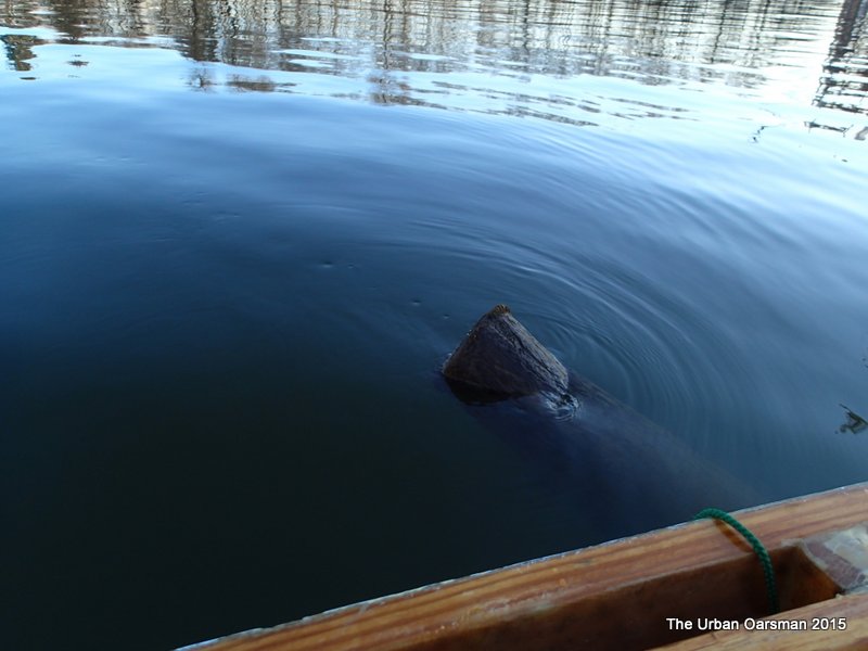 It is about 2:10pm. The ripples around the snag show that the tide is still going upstream. Not high tide yet.
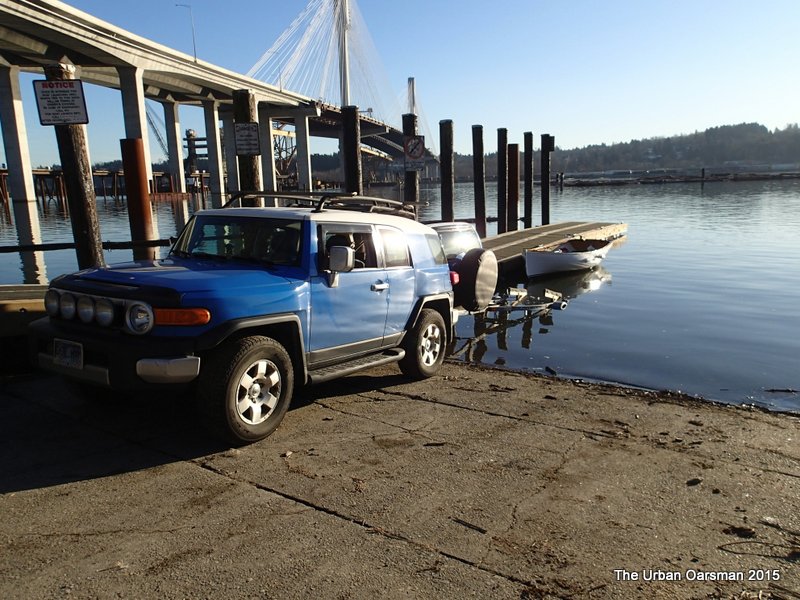 At the boat launch, ready to load Gwragedd Annwn onto her trailer.
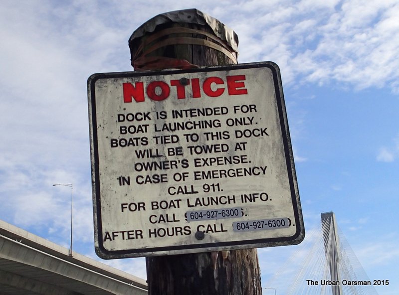 Close up of the dock notice.
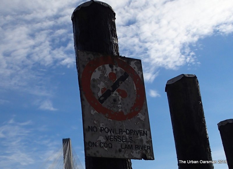 Close up of the NO POWER DRIVEN VESSELS ON COQUITLAM RIVER sign.
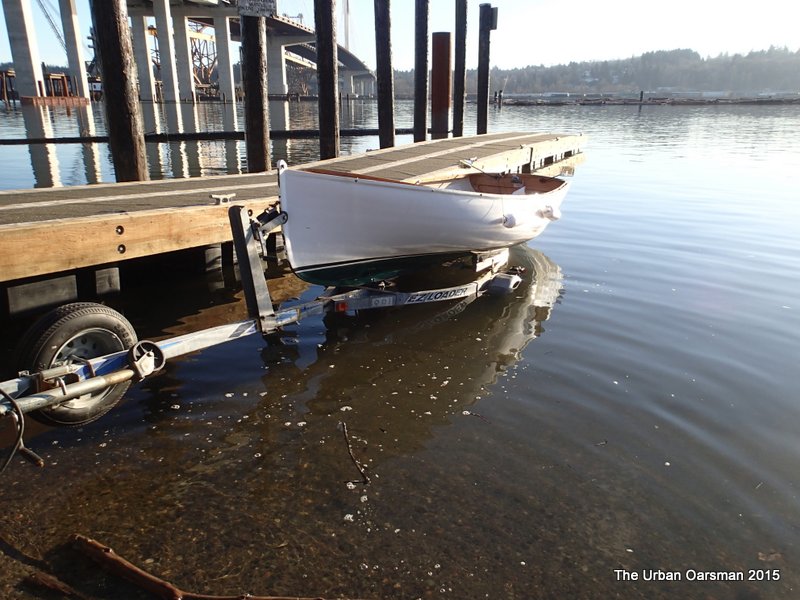 Gwragedd Annwn on her trailer. Time to secure her for the trip home.
River level heights for the Row:
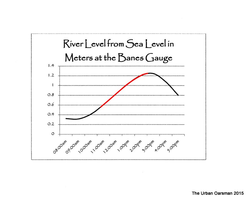
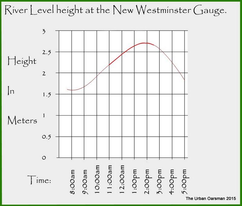 The New Westminster Tide chart for the Row.
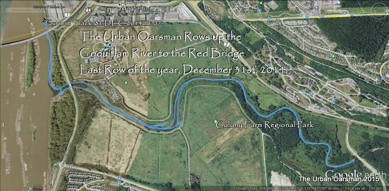 The GPS track on Google Earth of the Row.
Coquitlam River Row stats:
Length of Row: 10.3km.
Time at the thwart: 3½ hours
Average speed: 3km/hr.
Rowing the Coquitlam River. A fine Row.
Happy rowing,
Mike.

Mike, the Urban Oarsman.
This entry was posted in
Under the Keel..... Bookmark the
permalink.
 Gwragedd Annwn on the beach at the Maquabeak Park boat launch. This launch is just down river from the New Port Mann Bridge. The boat launch is a bit of a mess. There is another project centred here…The Port Mann Water Supply Tunnel Fraser River Crossing.
 Two buoys mark the pump outfall from the project?
 The boat launch float. The water is very still. It is about 800 meters to the mouth of the Coquitlam.
 The bridge suppoerts for the new Port Mann. In the background is the temporary jetty for removing the old Port Mann.
 Underside of the new Port Mann Bridge, looking South.
 Underside of the new bridge, looking North.
 The GPS shows a almost 1 km/hr upstream current.
 About half-way to the mouth of the Coquitlam.
 Looking up river. The Pitt River is to the Port, the Fraser to Starboard.
 Entering the mouth of the Coquitlam. The Mary Hill By-Pass Bridge.
 Rowing up the Coquitlam, I leave the Fraser behind.
 There is a canoe on the Eastern shore. Warants further exploration.
 Approaching the canoe.
 Gwragedd Annwn on the shore.
 The canoe looks abandoned. The Starboard gunnel is broken. It is full of leaves. Otherwise, she looks to be in reasonable shape. Just a little work would be needed.
 She was built by THORA – IND. PLAS, TORONTO. I will have another look on my way back.
 I go to row under the Mary Hill By-Pass Bridge with its mandatory “No Power Driven Craft” sign.
 Just before the bridge, on the East shore, a side channel beckons. I check it out…narrow, shallow and blocked.
 Underside of the Mary Hill By-Pass Bridge.
 A side channel on the upstream side of the bridge. It is on the north side of the Mary Hill By-Pass. Not as narrow as the first channel, but, still impassable for Gwragedd Annwn.
 The Eastern shore is still in shadow. The ice remains.
 The sign reads:
  The Millennium Foot Bridge.
 Fancy Iron work on the Western side.
 Just over half an hour into the Row. Time for a coffee.
 I begin to see the river bed. Still more than 24″ of water.
 In the still sides of the river there is some ice.
 Pump house on the Eastern shore.
  The pump house has a small bay next to it. The water is frozen on the West side of the inlet, in the shadows. I Row in to explore.
 Gwragedd Annwn’s Depth-Sounder Oar resting on the ice.
 Rowing out through the now broken ice. Gwragedd Annwn’s Strip/epoxy hull is ice proof. The hardest part about rowing through the ice is trying to get the oars to break through the ice.
 Heading upstream again.
 A drainage canal on the West bank. It leads to an inaccessible oxbow between the river and Lougheed Highway. From now on, I could hear the roar-whoosh of the highway on the West.
 Looking up river again.
  Some sort of crane. It is on the North-West bank.
  Close-up of the crane. I have no idea what it was used for.
 Pitt River Road crosses the Coquitlam River on the Red Bridge. This is a far as I got. The current here was too strong for me to Row against. End of the Row.
 Just downriver from the bridge, there was a fellow fly fishing. Despite the puzzled look on his face, as I rowed past, we had a nice conversation about the river, rowing and fishing. I think that I am the first rowboat that he has ever seen here.
 Speed of the River current as I pass the fisherman. The 7.2 reading was the current speed at the Red Bridge.
 It is always easier downstream. I usually go backwards so I can see the snags in the river.
 This log had interesting icicles and the bones of a fish on it.
 The tide begins to effect the Coquitlam’s flow.
 Bald Eagles in the trees.
 Lunch time for the Urban Oarsman.
 This spot where the tide has reached is shown by a red star on the chart at the beginning of this Row.
 A pump station on the East shore. There are four interconnected drainage canals on the East.
 This canal leads to one of the three drainage canals on the West shore.
 Poling up the canal.
 End of the drainage canal. Did this used to be a dock?
 Sculling back out to the Coquitlam.
 A better view of the fancy Iron work on the Millennium Foot Bridge.
 This is the bow of a submerged boat. The boat is upside-down, bow facing to the left in this photograph.
 The West bank is crowded with wild rose hips.
 Leaving the mouth of the Coquitlam, following the Western shore. The green canoe that was on the East shore is gone.
 While rowing downriver back to the Maquabeak boat launch I see a snag in the water.
 It is about 2:10pm. The ripples around the snag show that the tide is still going upstream. Not high tide yet.
 At the boat launch, ready to load Gwragedd Annwn onto her trailer.
 Close up of the dock notice.
 Close up of the NO POWER DRIVEN VESSELS ON COQUITLAM RIVER sign.
 Gwragedd Annwn on her trailer. Time to secure her for the trip home.
 The New Westminster Tide chart for the Row.
 The GPS track on Google Earth of the Row.


