A Whale of a Row. October 4th, 2015.
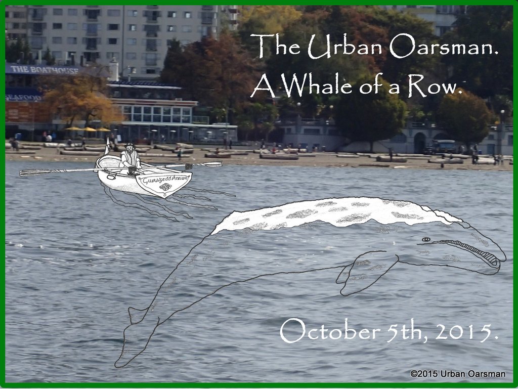 The tide chart for the row:
2015-10-05 (Monday)
|
Time
|
Height
|
PDT
|
(m)
|
(ft)
|
06:13am
|
1.4
|
4.6
|
1:39pm
|
4.3
|
14.1
|
7:50pm
|
2.9
|
9.5
|
The rowing plan is to ride the rising tide into False Creek and then out back to Hollyburn Sailing Club. I want to be on the water early so I can row around in False Creek & visit Granville Island.
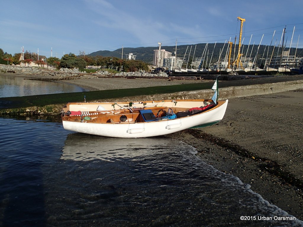 On the beach, ready to go by 8:00am. The seas are calm and it is an easy launch.
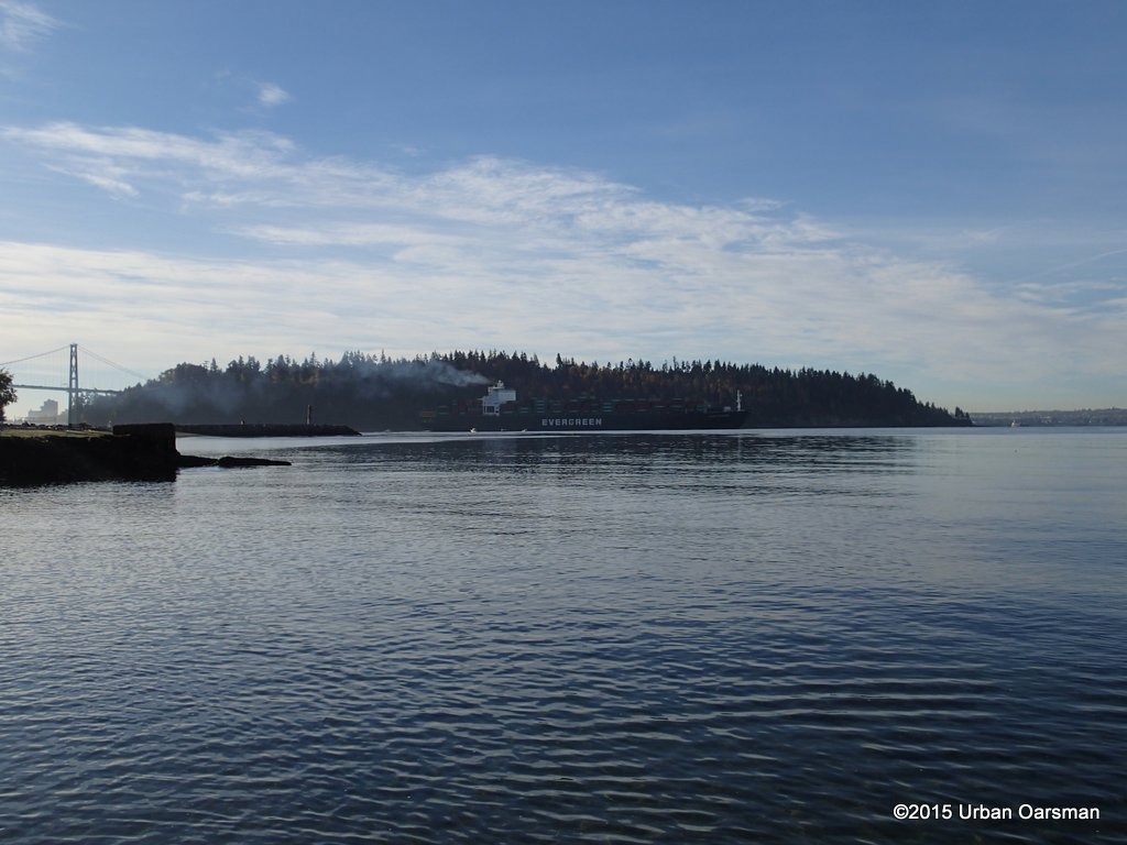 A container deep sea freighter heads out to sea through the morning fishing fleet.
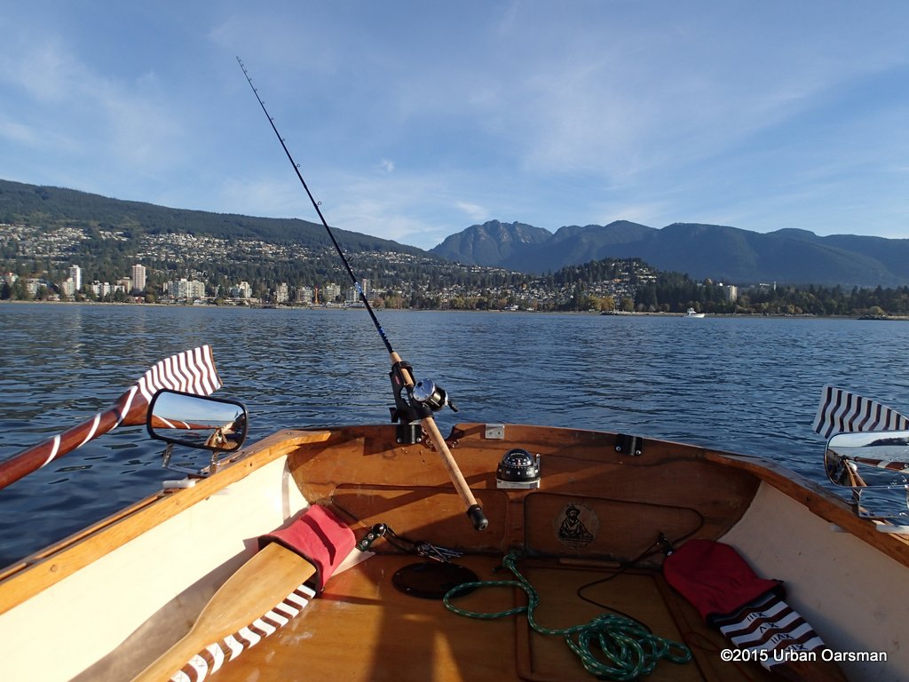 Today I am part of the fishing fleet. I am trolling a buzz bomb, green and silver. The rod tip indicates good action with the lure.
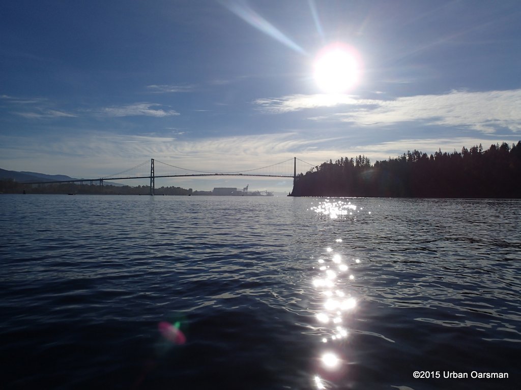 No more freighters coming out.
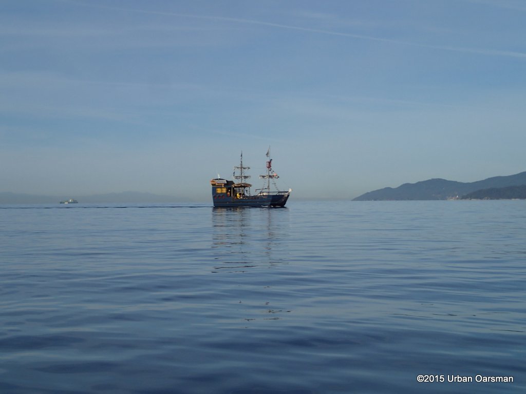 The False Creek Pirates are heading into Burrard Inlet.
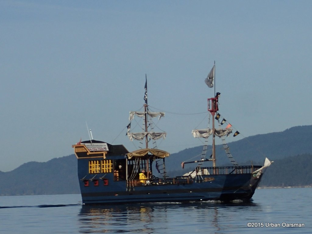 Their real name is Pirate Adventures. I saw them quite a bit in False Creek during the Vancouver Wooden Boat Festival.
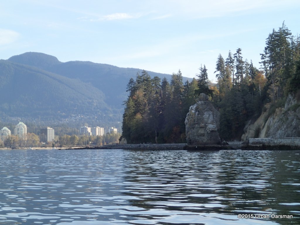 I row past Siwash Rock. The channel between the rock and the Seawall is awash. I do not row around the remnant of a volcanic dike and “baked” sediments. I am staying in deeper water because I am trolling and do not want my lure to catch on the bottom.
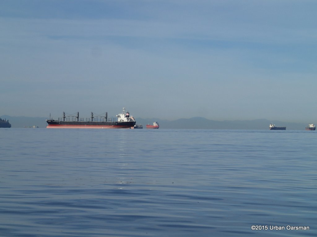 There are eleven freighters out in English Bay.
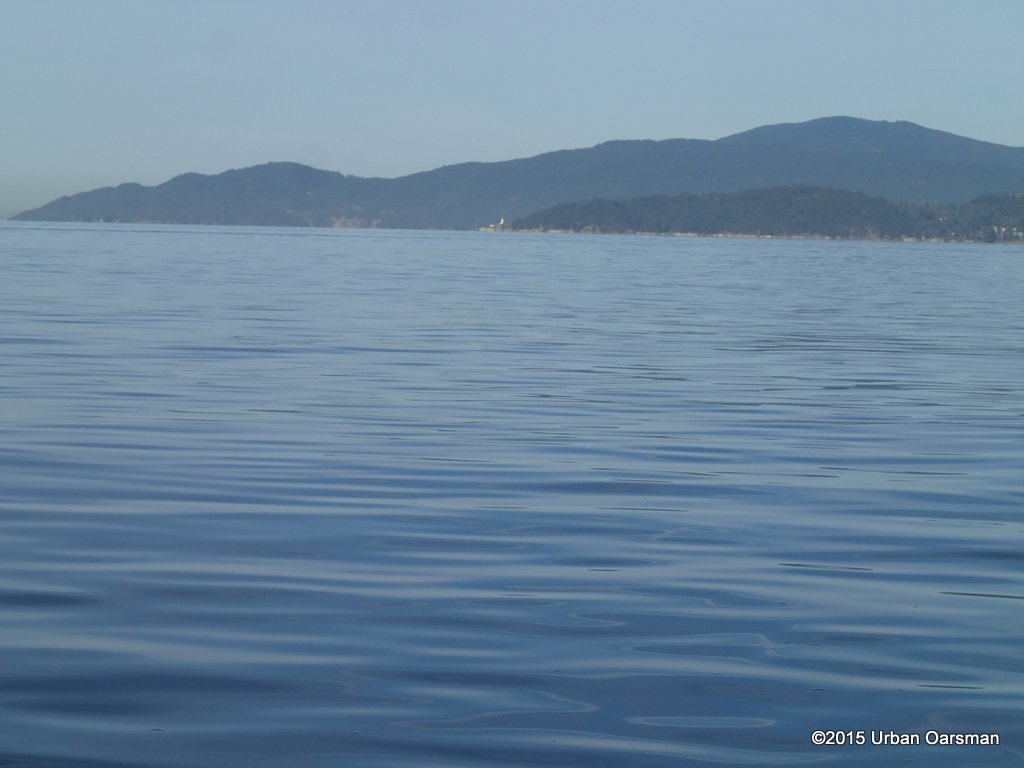 No freighters in the West Vancouver anchorages.
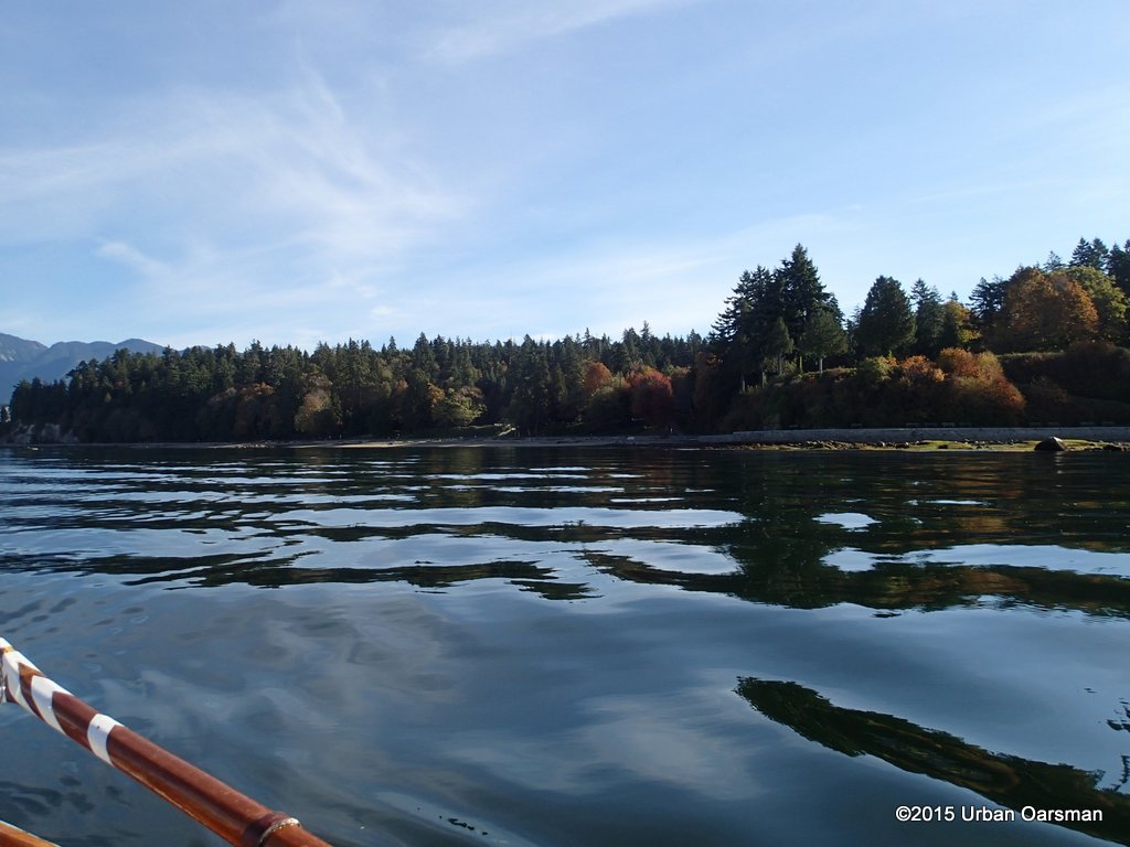 Some fall colour in Stanley Park already.
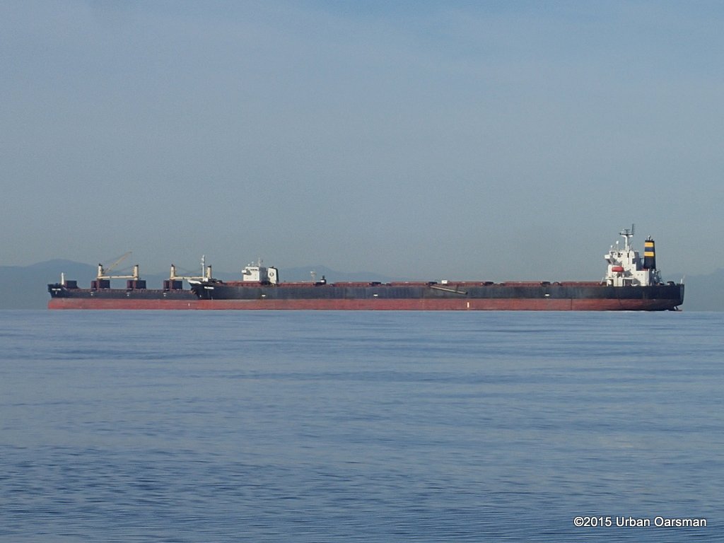 These two freighters seem to merge into one super long one.
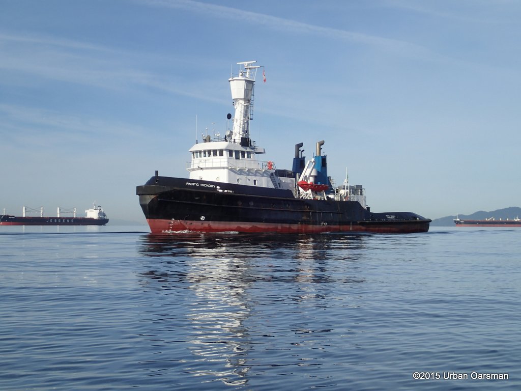 The Pacific Hickory anchored. Her engines are 2 x 20 cyl., EMD 645E7, Her thrusters: Tunnel thruster 250 hp Propellers: Twin screw, kort nozzle, Fixed pitch Gear Box: 2 falk reverse reduction Gearboxes 4,719:1 For 191 rpm @ propeller BHP 7200. Her speed is 12.5 knots Bollard Pull: 100t. She carries 610 t of fuel.
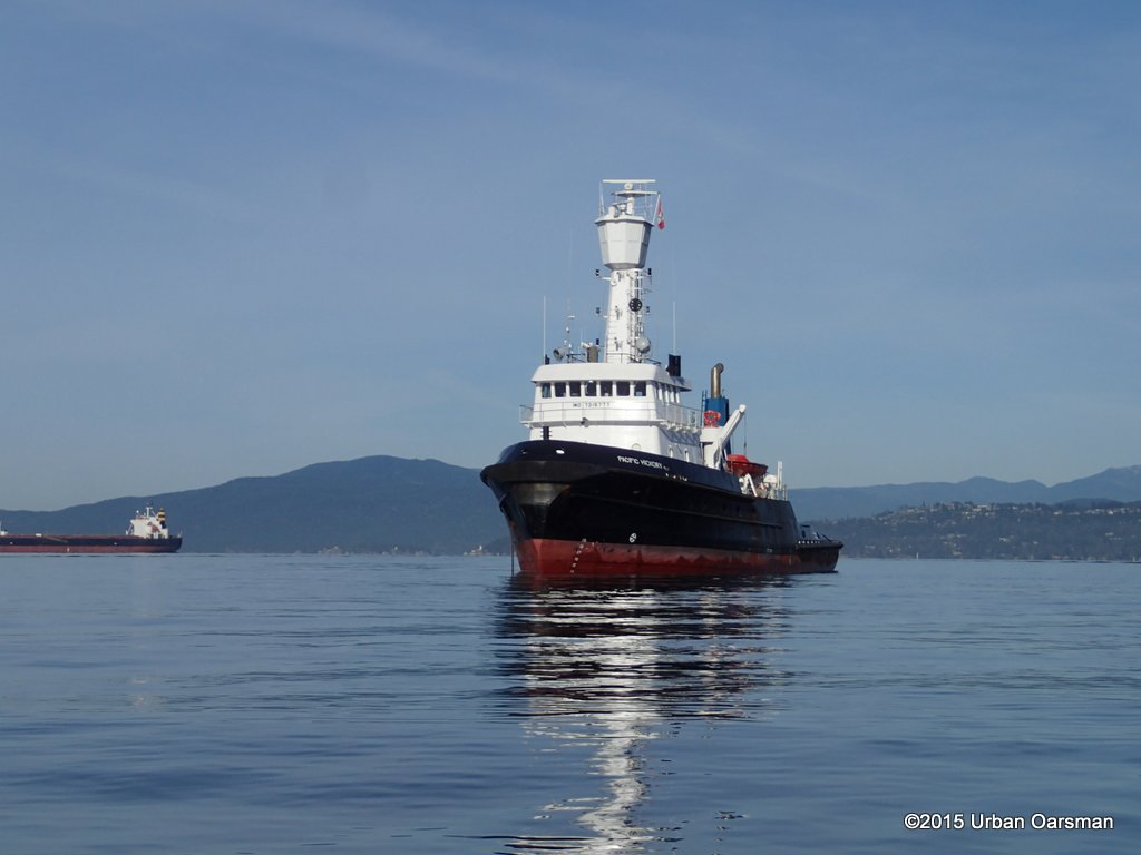 She has only one anchor, to Starboard. She was built at Saint John Shipbuilding Ltd., Saint John, NB, Canada She flies the Commonwealth of Dominica flag. Commissioned in 1973 with acomplete refit 2007. Her length overallis 46.78 m (153.47′), Beam, 11.81 m (38.74′), Draft is 6.7 m (22′).
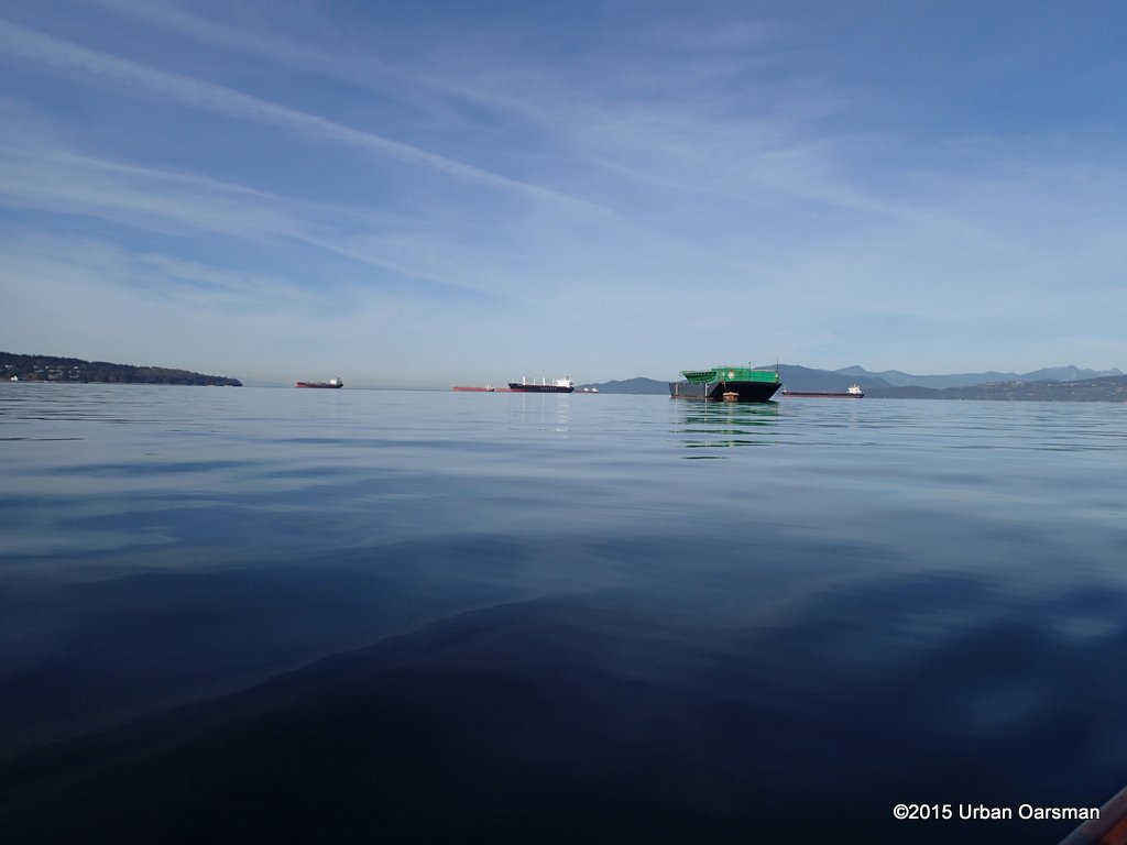 Ocean Cement barge anchored.
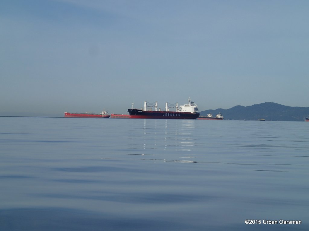 Pretty flat out by the freighters.
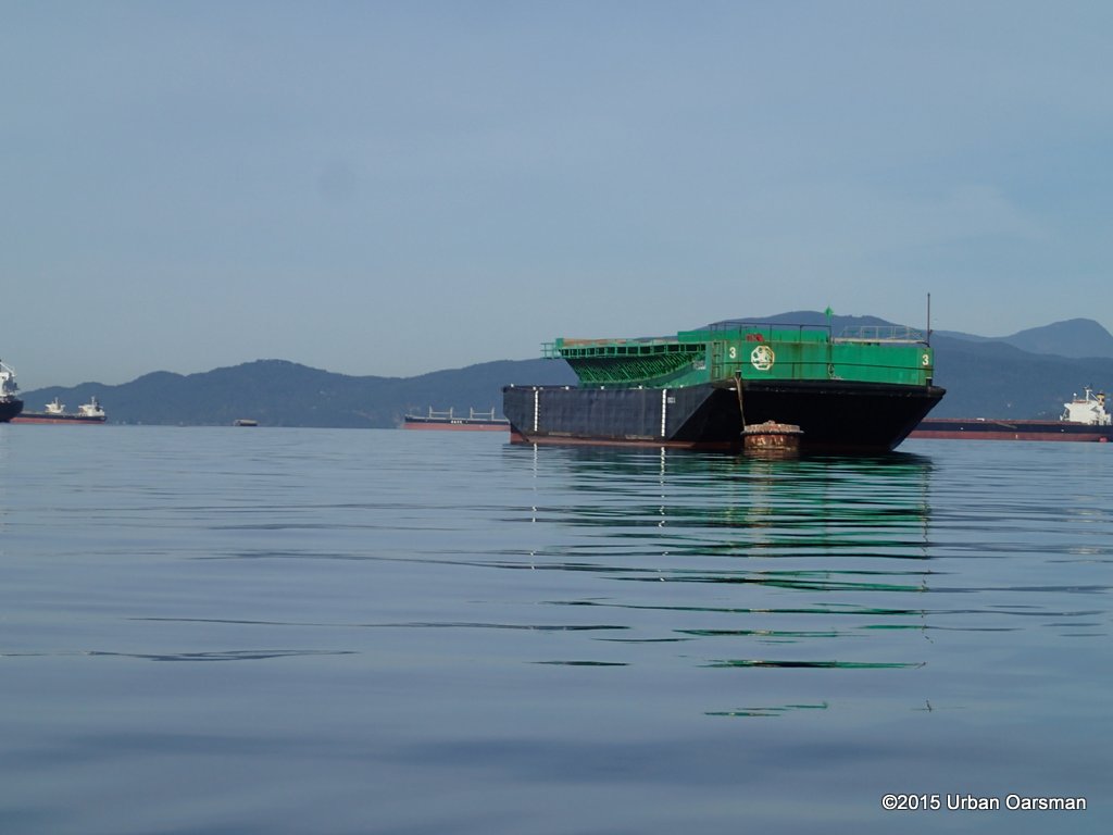 Close-up shot of the barge.
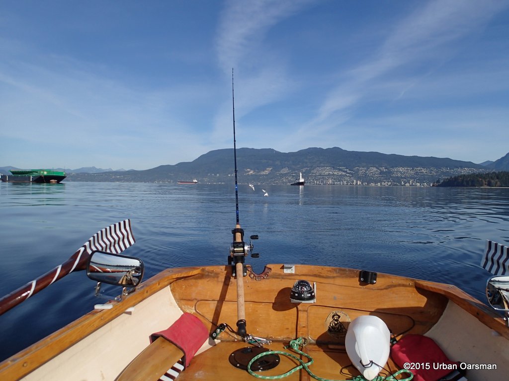 The buzz bomb begins to attract some gulls who are diving on the lure.
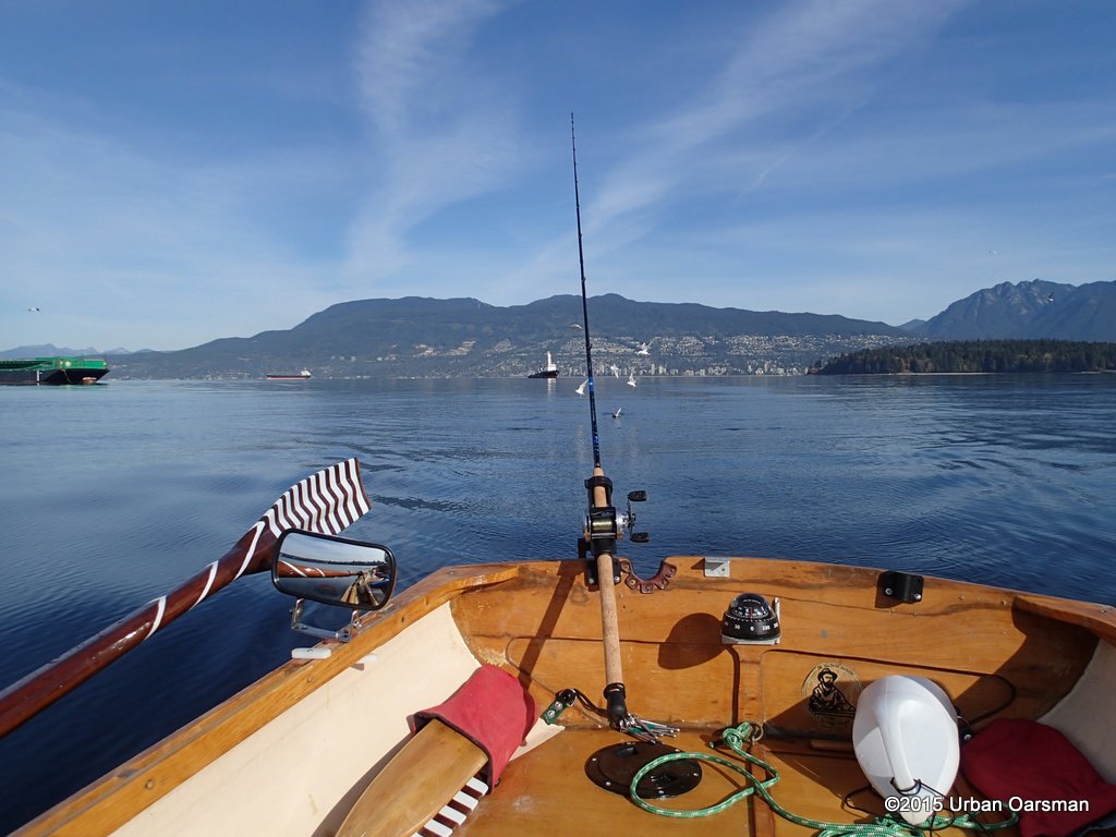 I am close to the Vancouver Maritime Museum Heritage Harbour. I reel the line in.
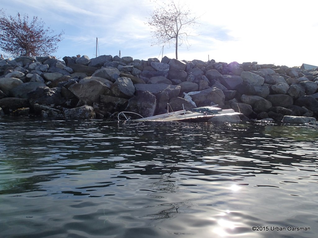 Remains of a sailboat on the Heritage Harbour breakwater. The boats came ashore during the windstorm (from the west) we had on September 20th 2015.
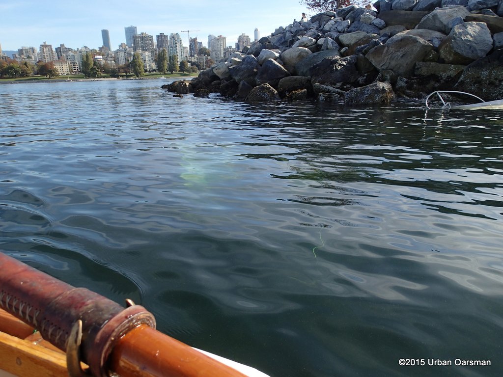 More boat bits under water.
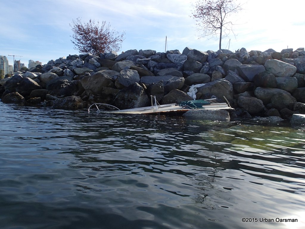 On the breakwater.
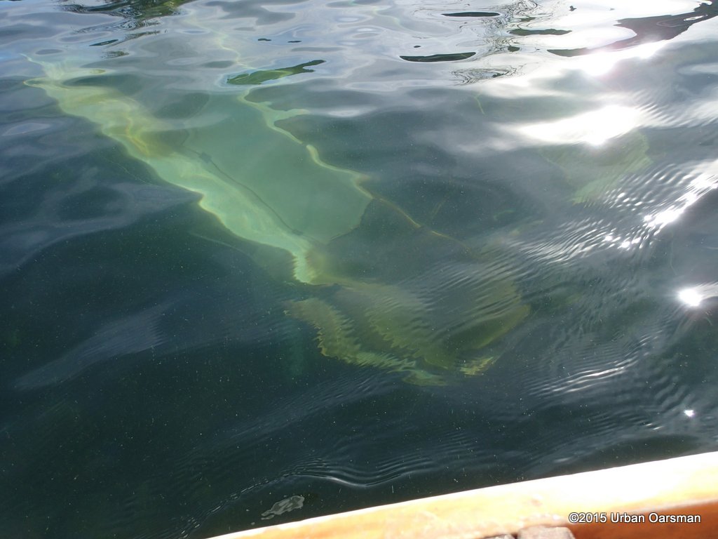 I row over boat debris.
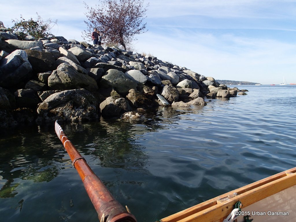 A chunk of keel on the breakwater.
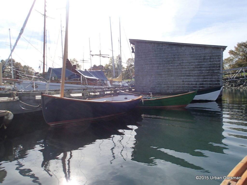 This is Oarlock & Sail’s newest build, Ragna, she is a Paul Gartside ‘Riff’ design. They launched the Gartside Riff on May 23, 2015, from here at the Vancouver Maritime Museum Heritage Harbour dock.
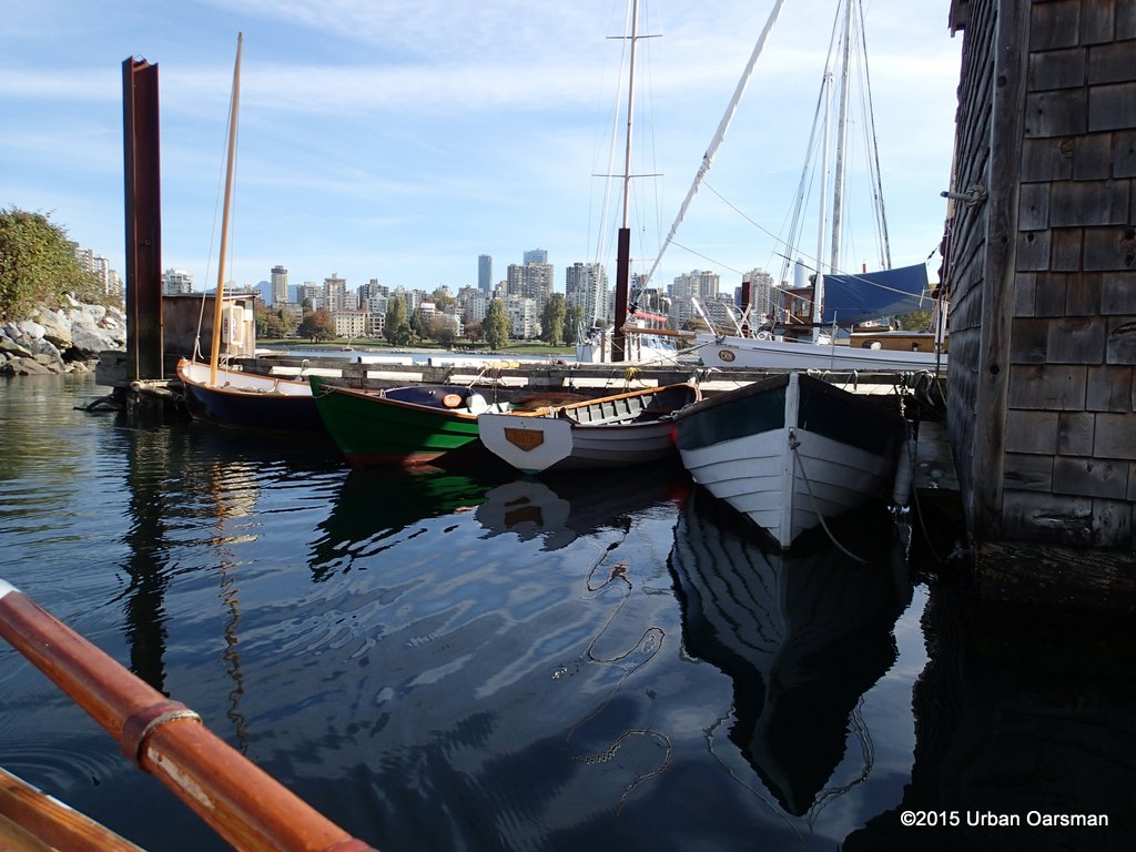 Oarlock & Sail’s boats Raga, Sam Mac, Vogler and D’Arcy.
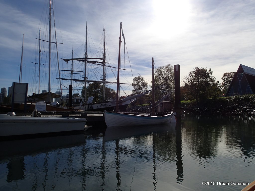 I do not know this boat.
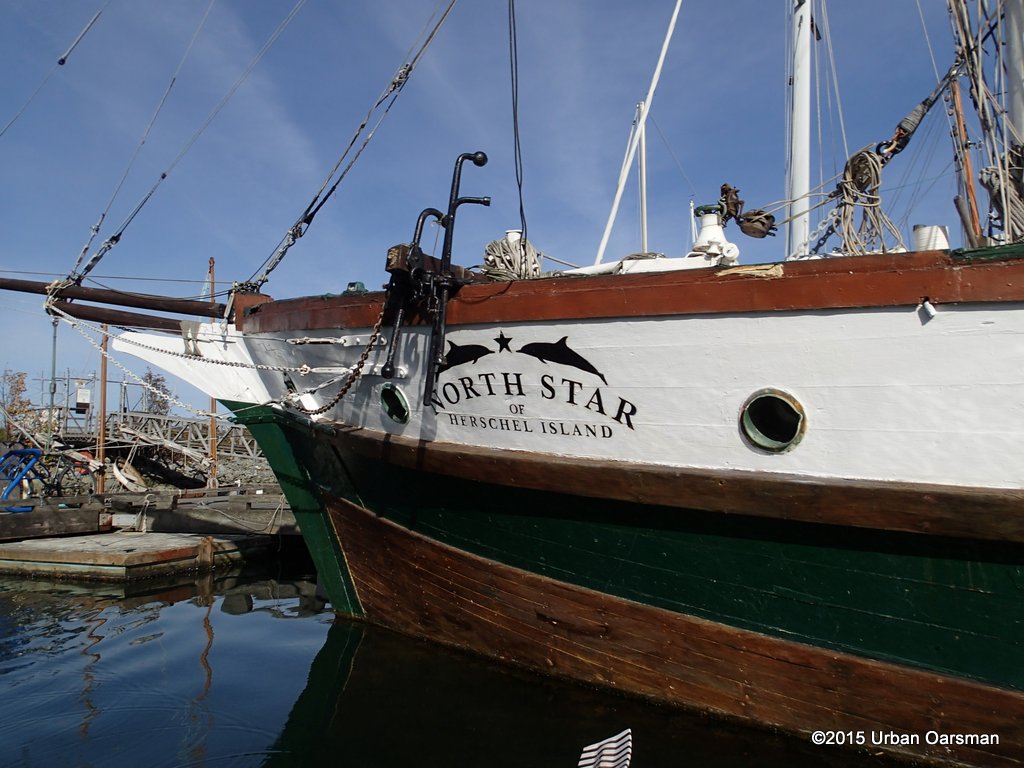 The North Star of Herschel Island has been moored here for quite a while.
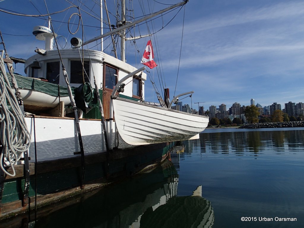 Sadly, this wooden vessel has a fiberglass dinghy.
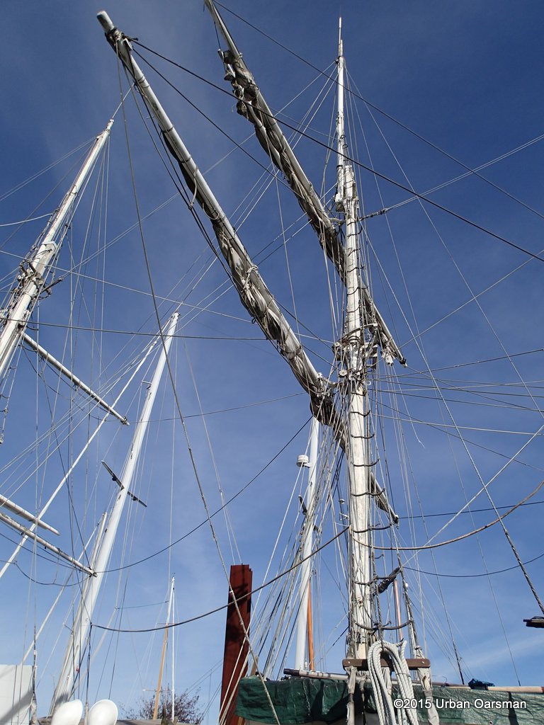 Masts and rigging.
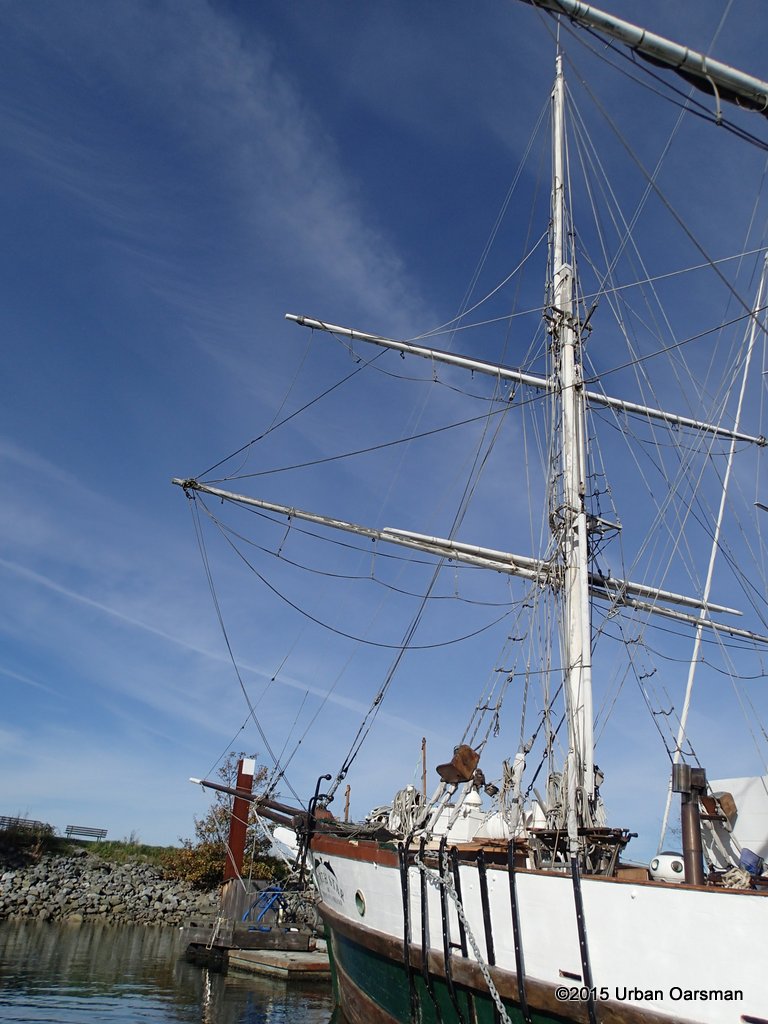 Her foremast.
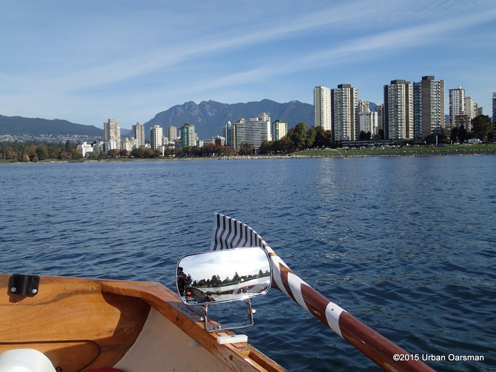 English Bay beach with Grouse Mountain behind.
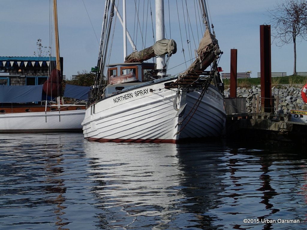 Northern Spray,. I always wonder if her clinker planks are the same on both sides of her hull.
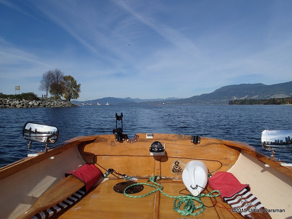 Rowing into False Creek.
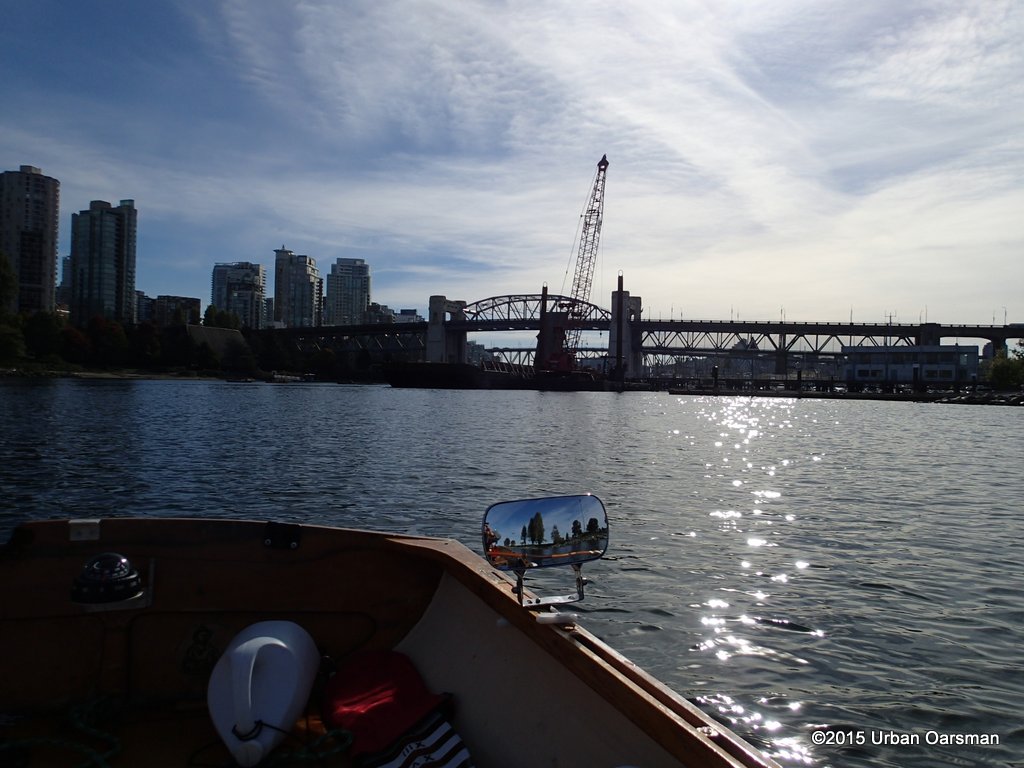 A barge is at the Kits boat launch.
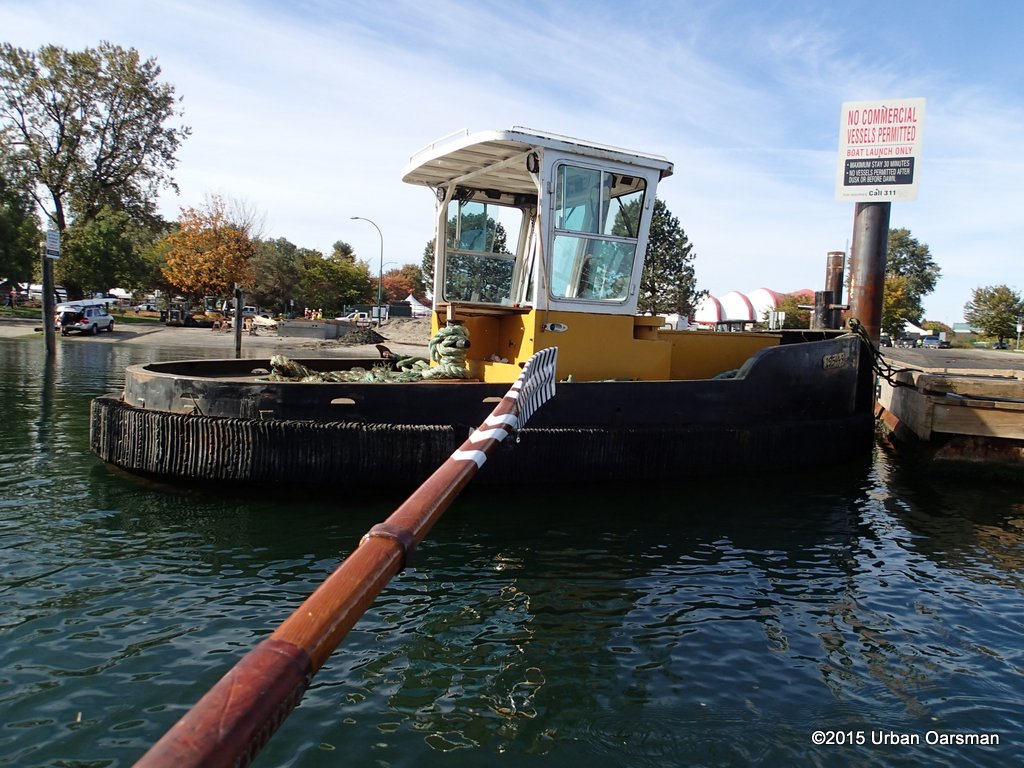 A little tug is tied up to the new dock. No name, just a registration number. Kinda cute how this commercial vessel is tied up under the “No Commercial Vessels Permitted sign”.
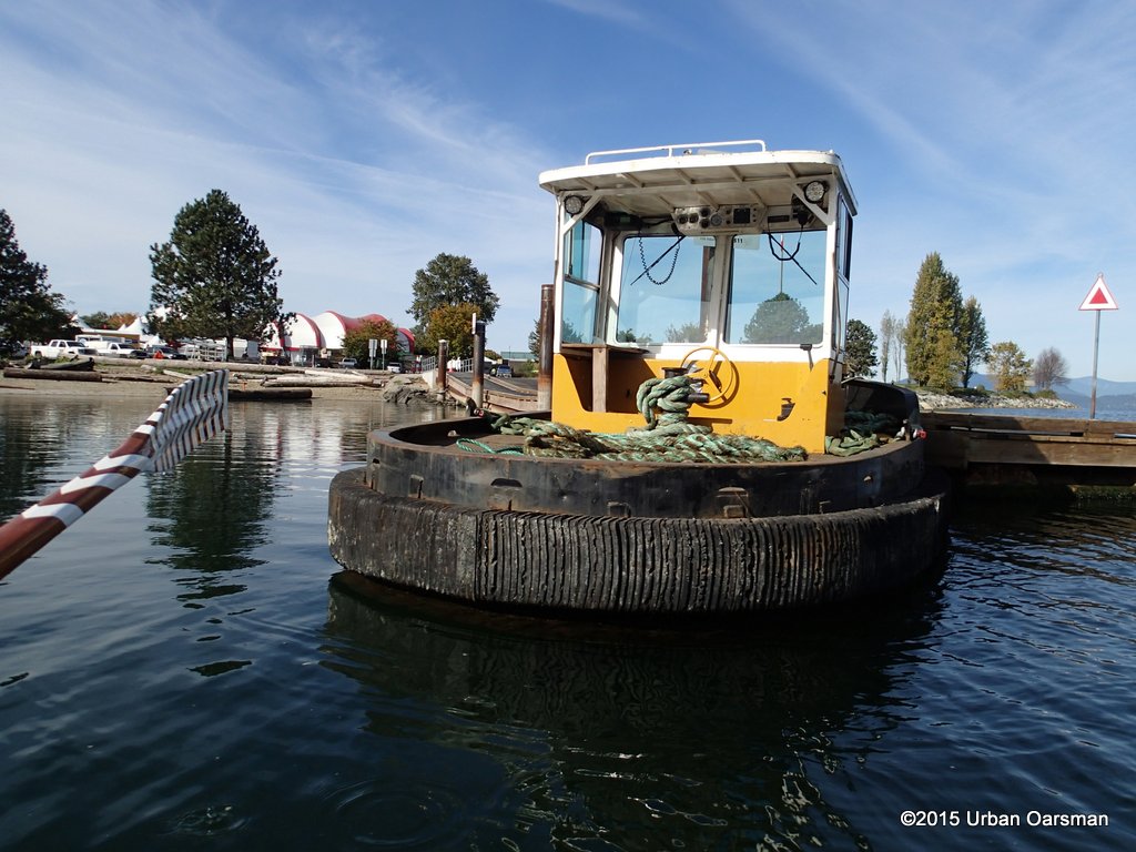 No name on the stern.
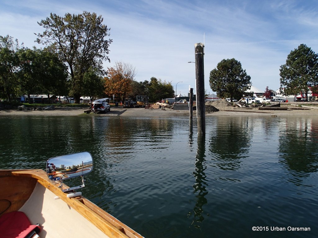 The old dock has been removed and they are building a new one.
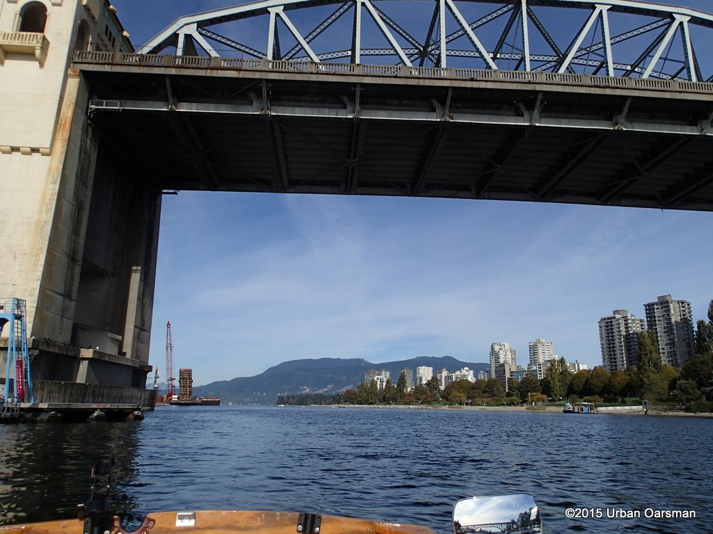 Past the Burrard Street Bridge.
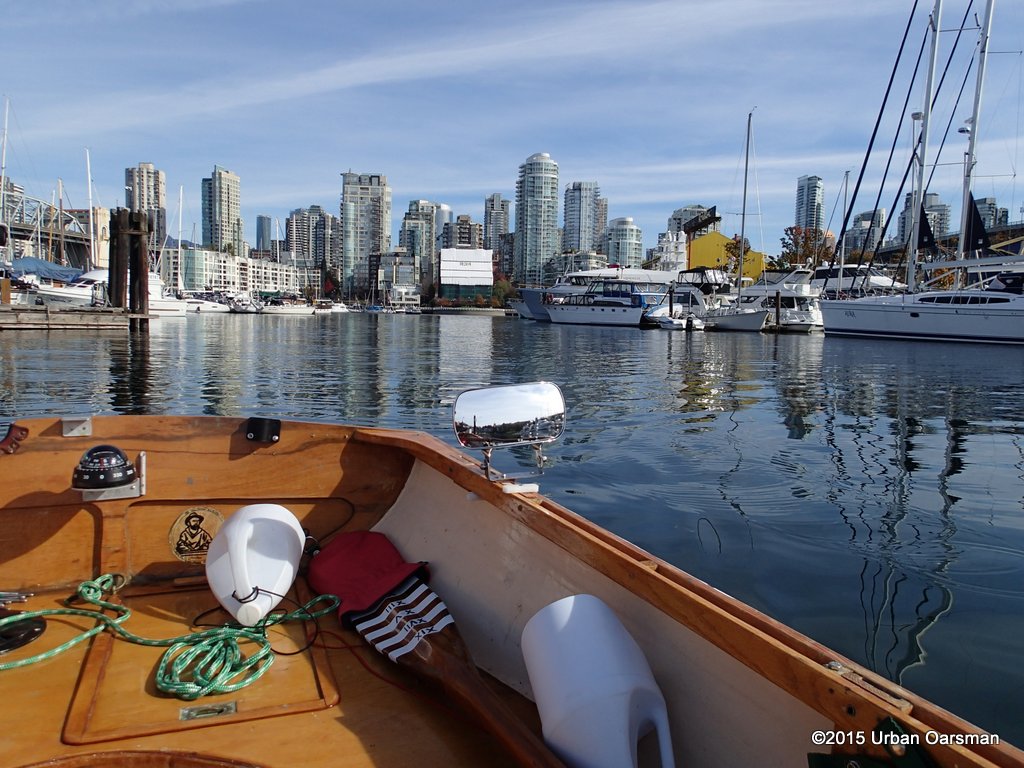 I turn the corner and pass Fisherman’s Wharf floats A, B, C, D, & E.
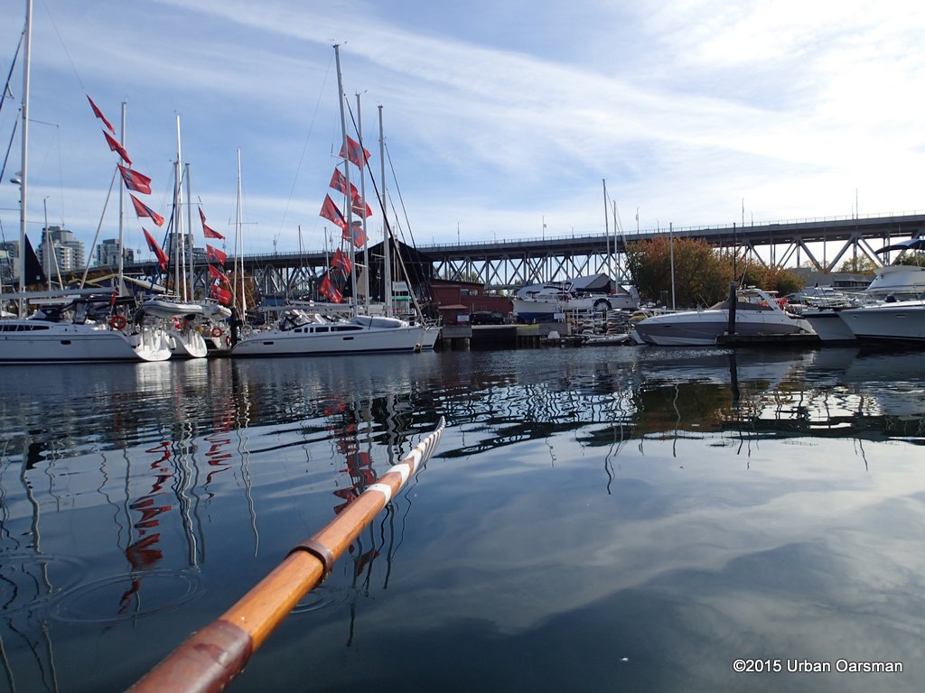 Flags show a slight Westerly.
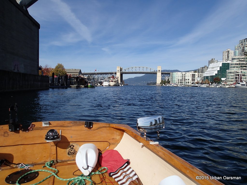
 End of the cove.
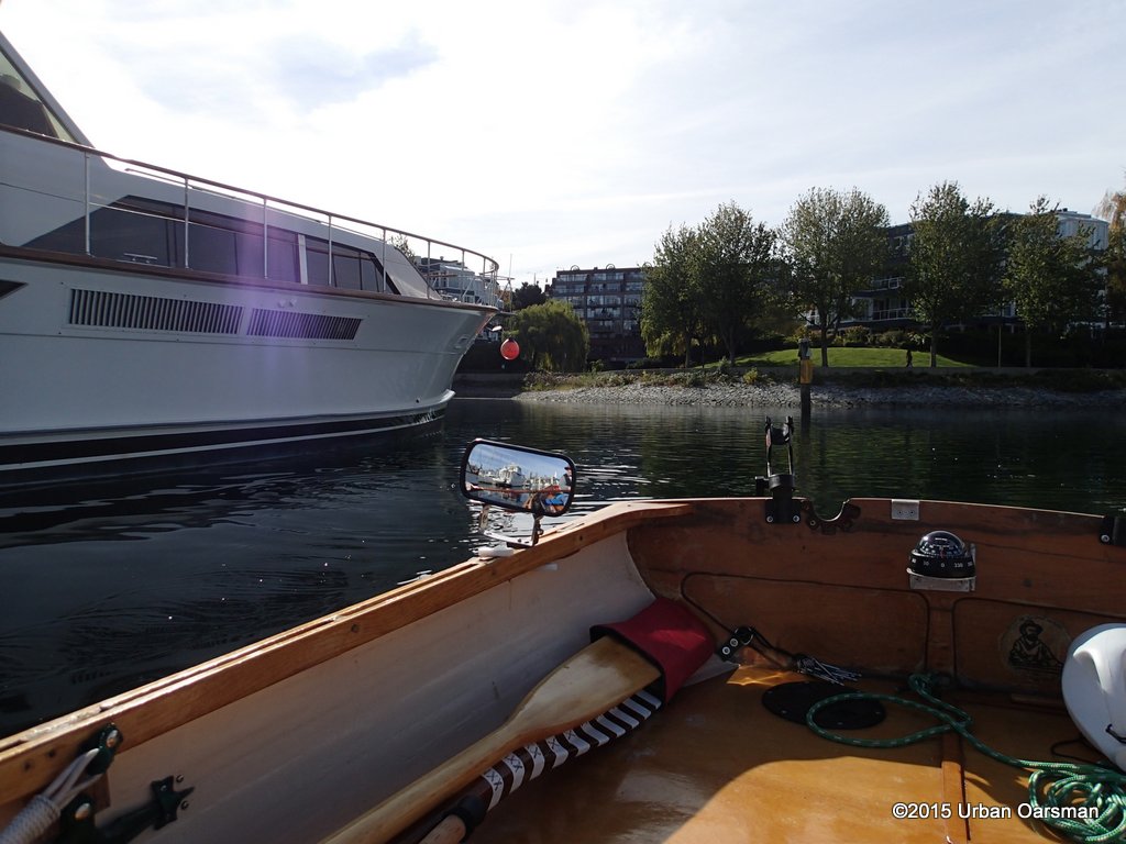 I row out past the mega-yachts.
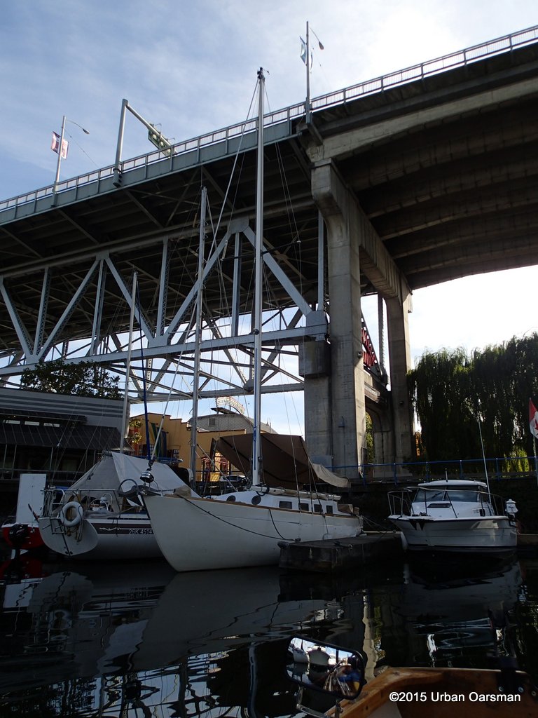
 Under the Granville Street Bridge.
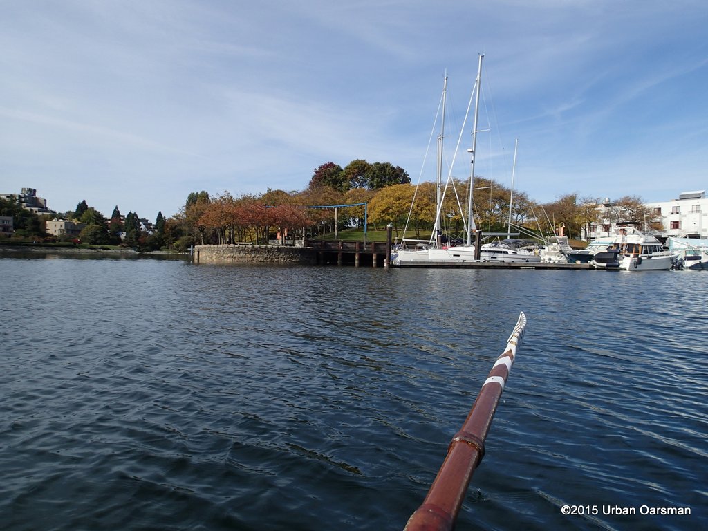 I row around the corner into Alder Bay. No anchoring allowed. One lap and I row back out again. The wind is starting to pick up from the West and I figure that I should start home now.
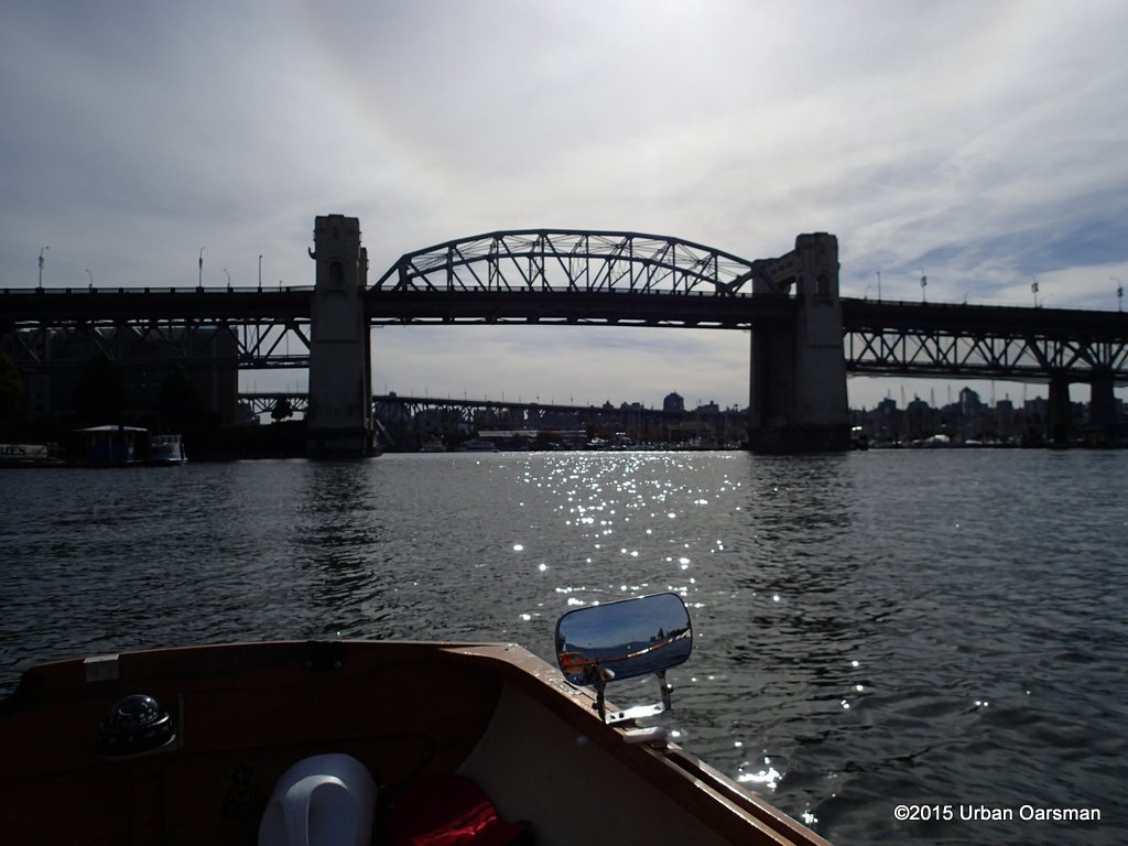 Good-bye Burrard Street Bridge.
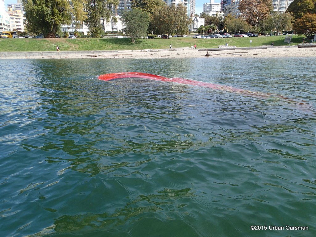 Sailboat wrecked at Sunset Beach Park.
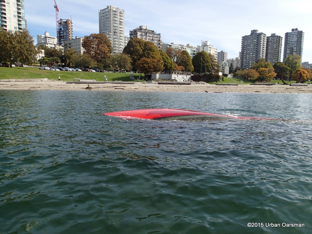 I row around the wreck. The water is pretty shallow.
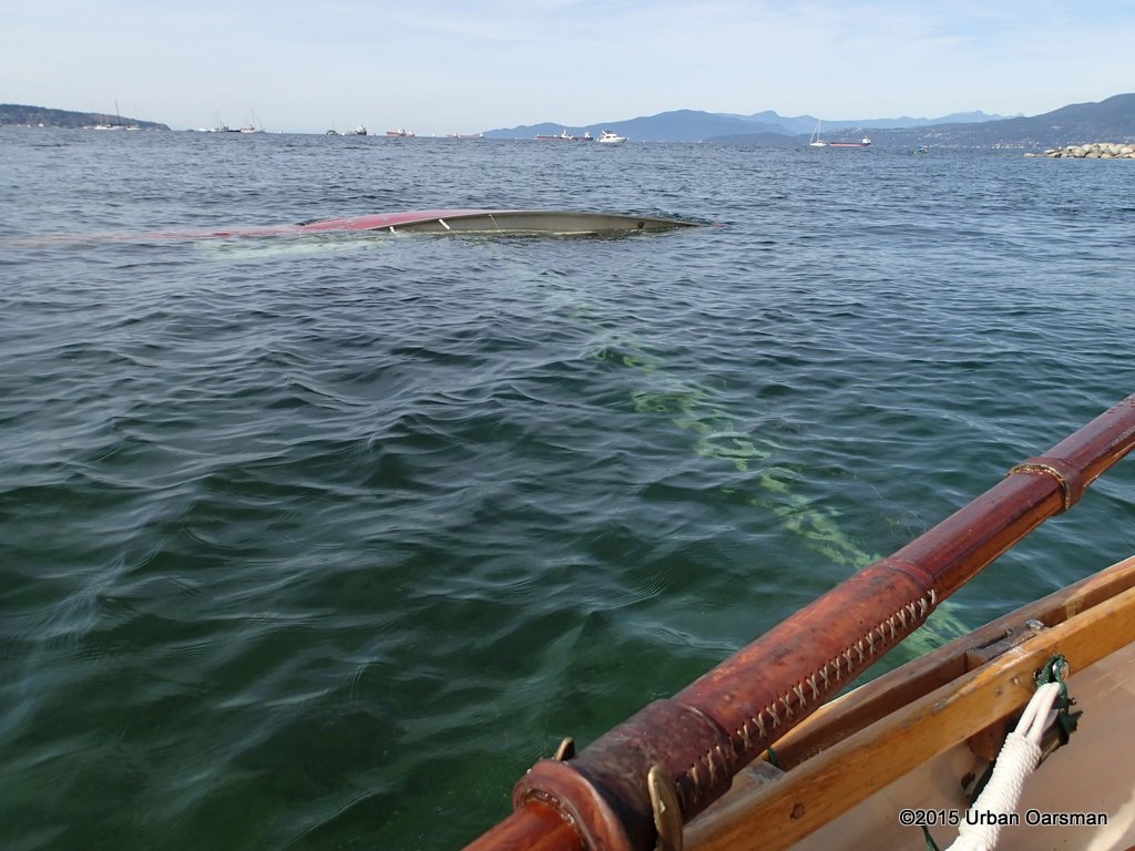 I cannot tell is the hull is floating at all. It may still be aground.
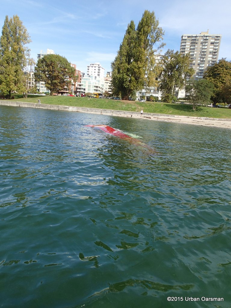 The boat is probably high and dry at low tide.
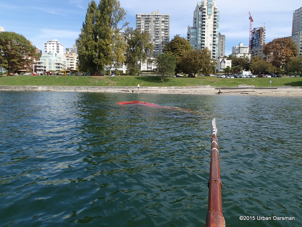 I continue along towards the Inukshuk.
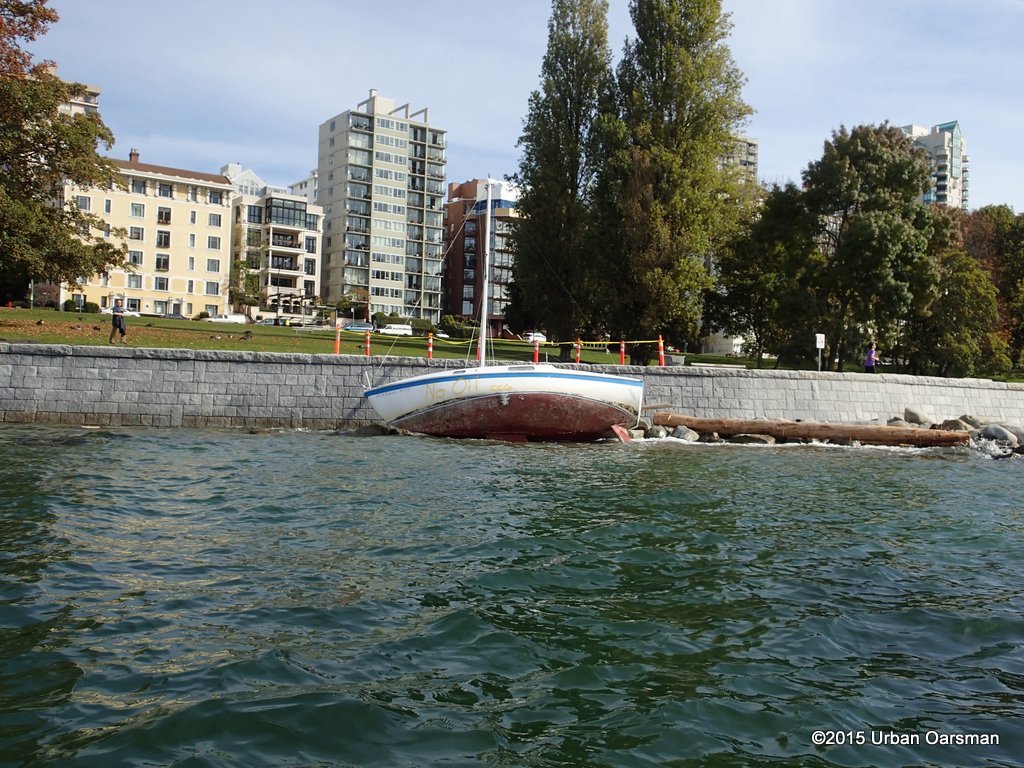 Another beached sailboat. Looks like a San Juan 21. Poor old Donegal Mist.
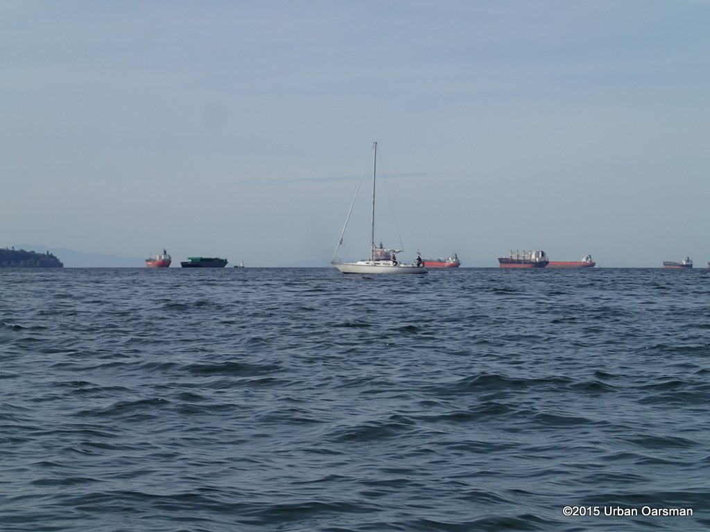 I notice something off the bow of this sailboat.
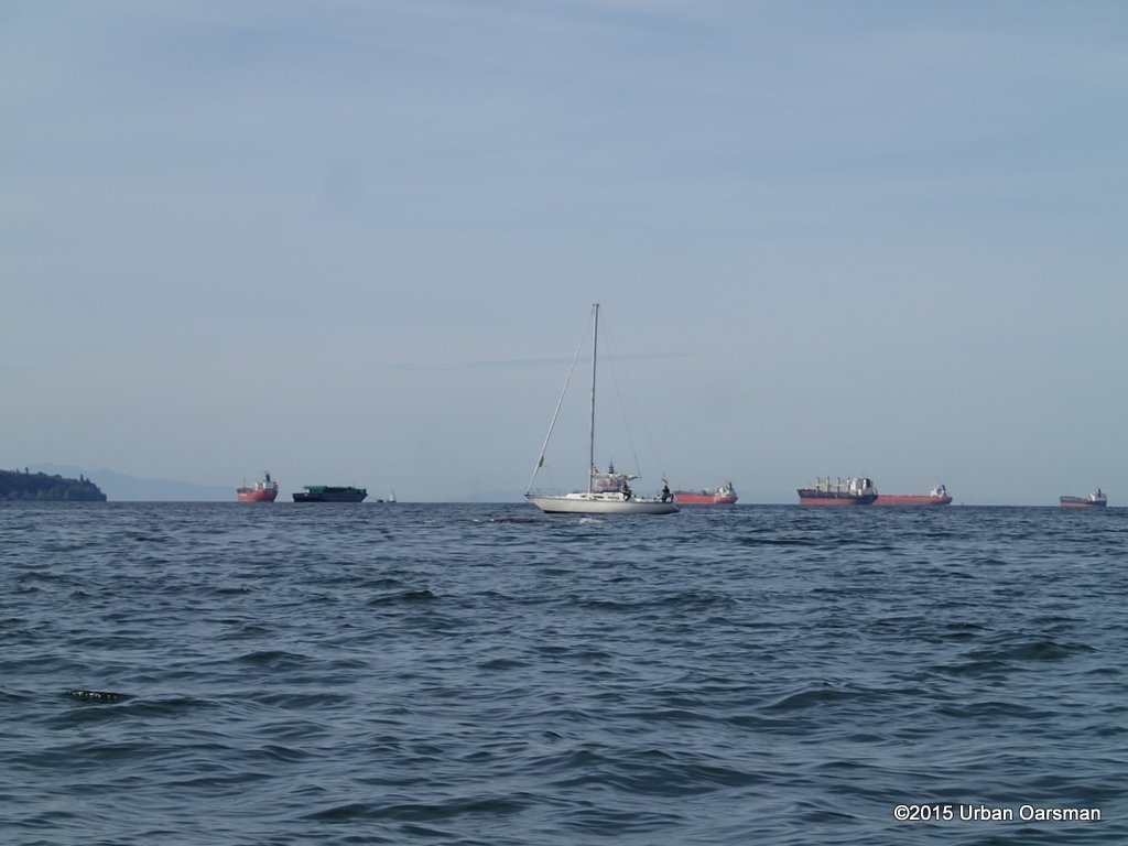 It is a grey whale. In reading the news reports, they say that it does look to be the same individual that was in the area in August.
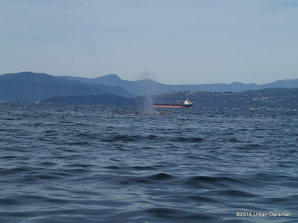 I take some more pictures. They identify grey whales by the uniqueness of the barnacle growths on them.
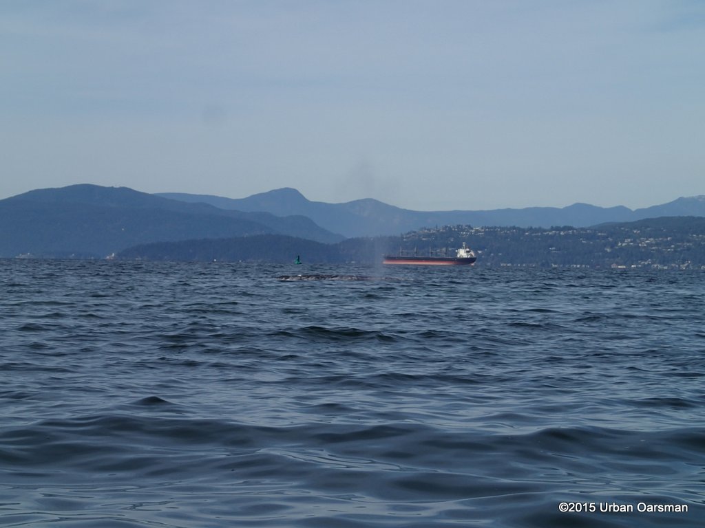 The whale seems to be feeding in front of English Bay Beach.
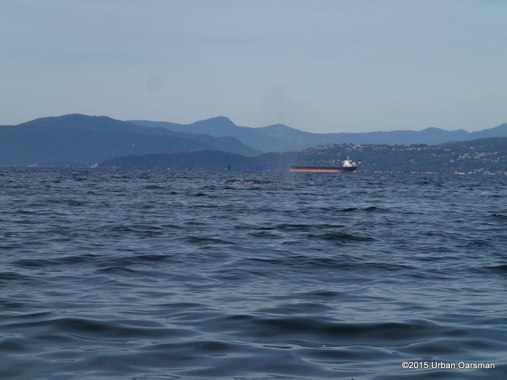 Grey whales are often seen close to sandy shorelines because they dine on small marine invertebrates that they filter from sediment or sand on the ocean floor. The Grey whale is coming close to shore and scooping up mouthfuls of sediment and filtering that for his prey.
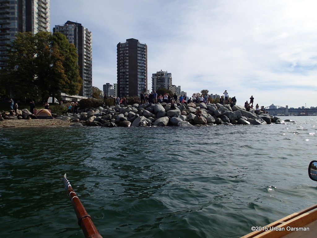 The crowd is Whale Watching. I row along the beach, in 5 to 10 feet of water to avoid the Grey Whale.
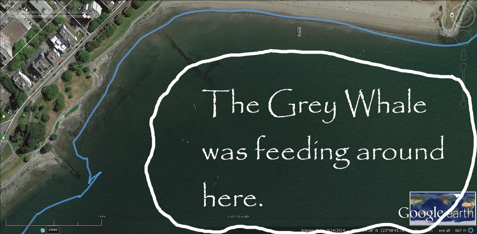
I do not want to disterb the Whale…or get run into by it.
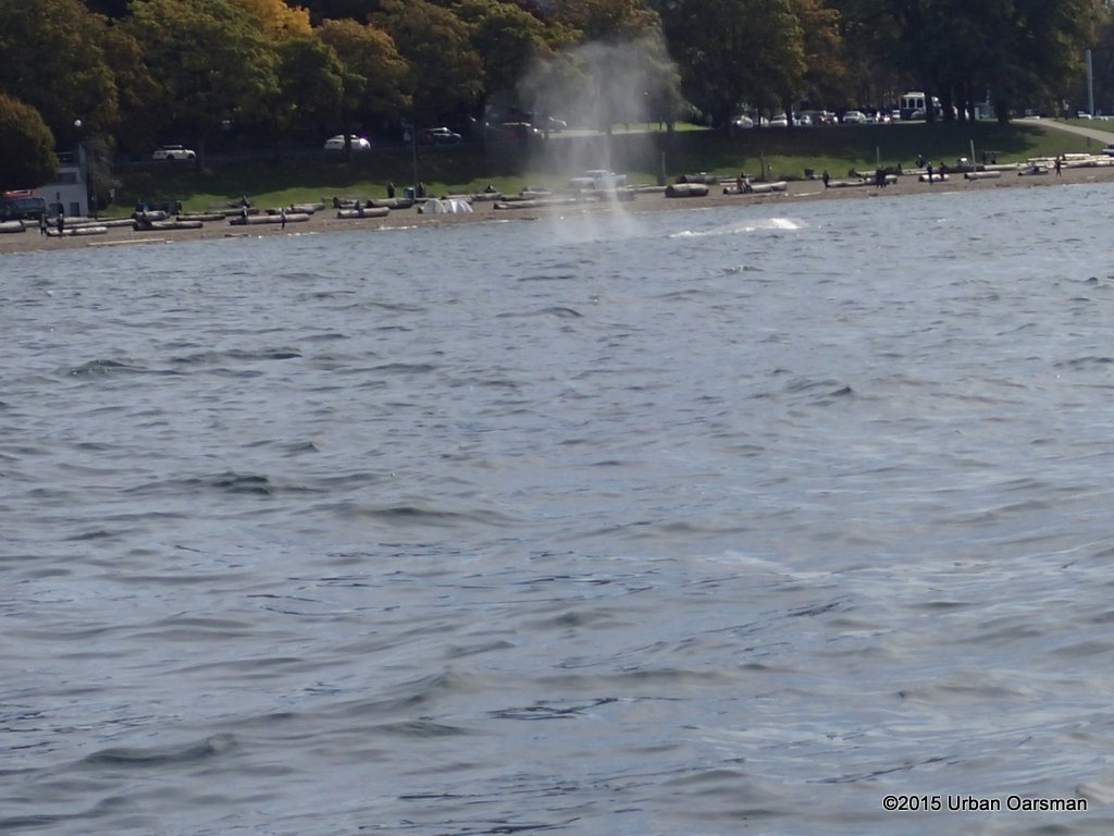 The Audubon Society Field Guide to North American fishes, Whales & Dolphins says: “Gray Whales(Eschrichtius robustus), grub along the bottom for gammarid amphipods, the staple of their diet, and leave a cloud behind them as they move”.
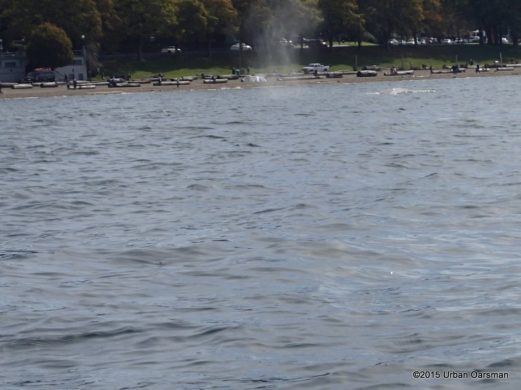 The Field Guide also states: “Their spout is not distinctive”.
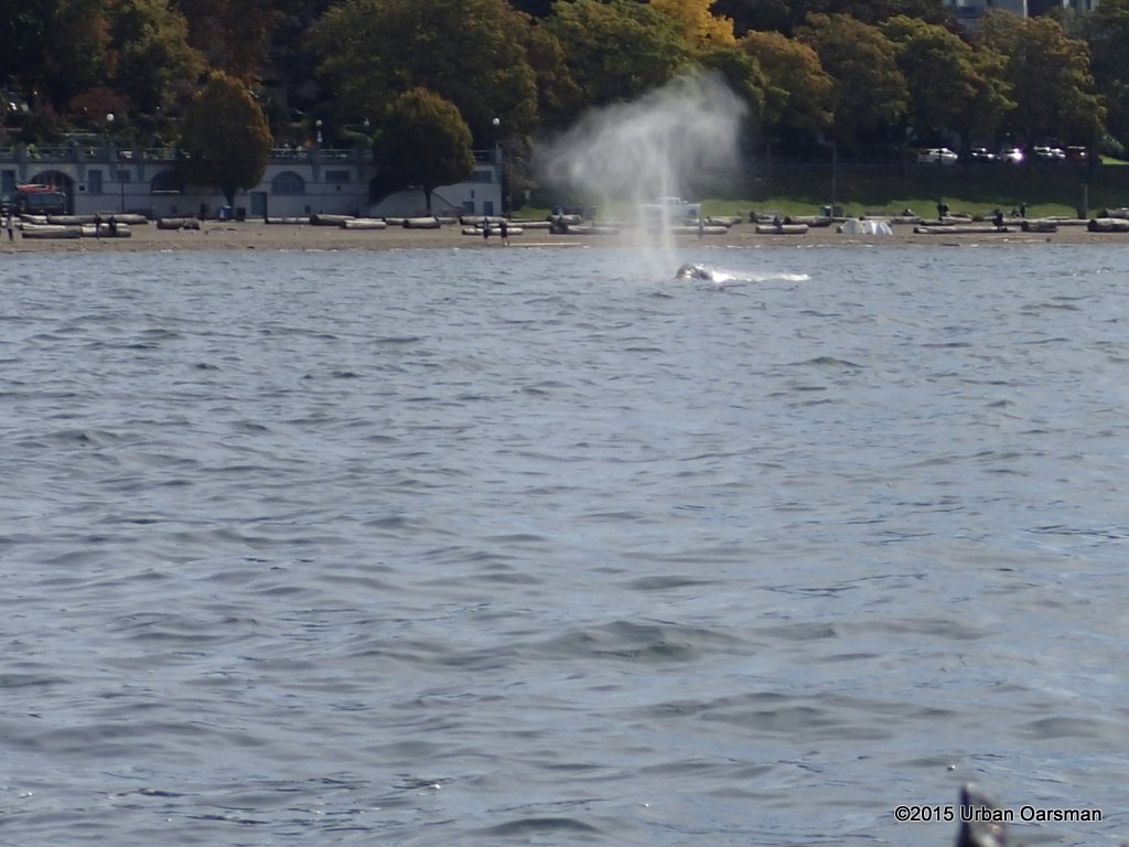 This is the Whale heading towards me.
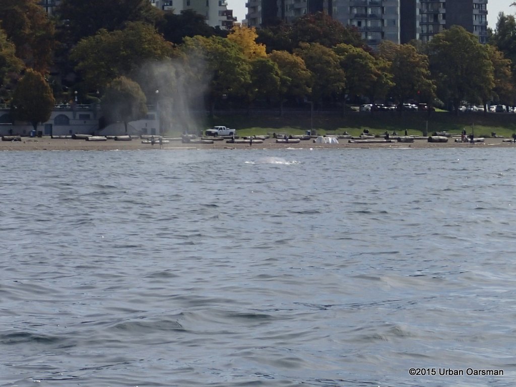 Diving down for a snack.
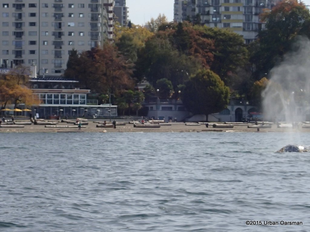 Up again.
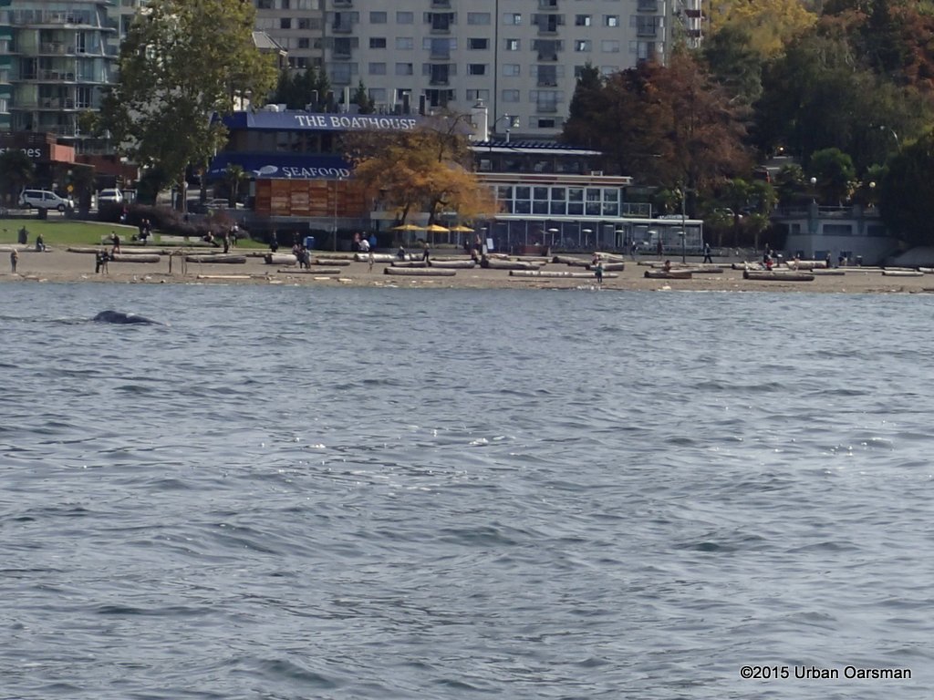 A lot of this activity happened in front of the Boathouse.
Four shots of the Whale surfacing and then diving:
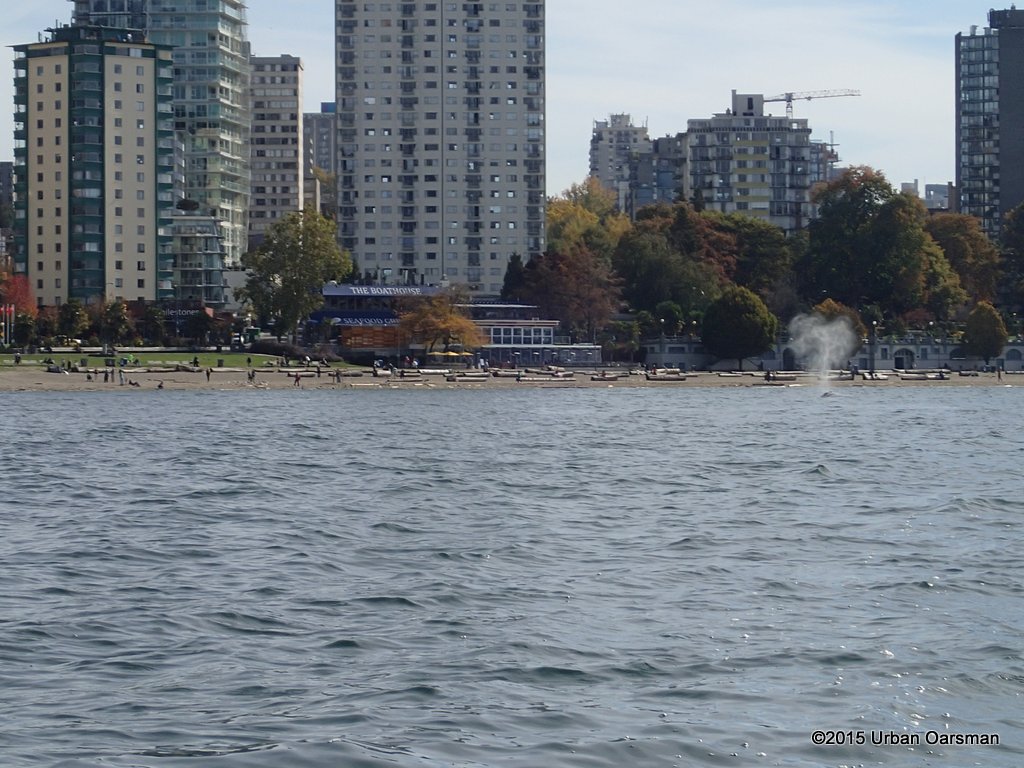 Picture one.
 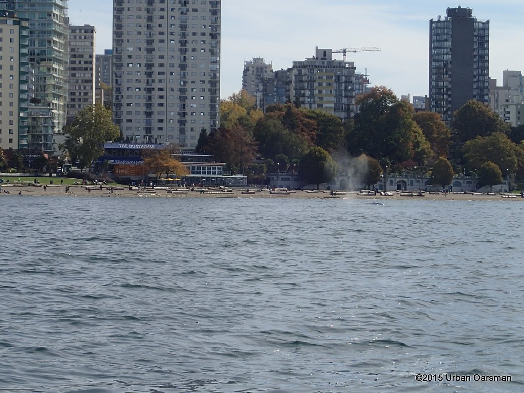 Picture two.
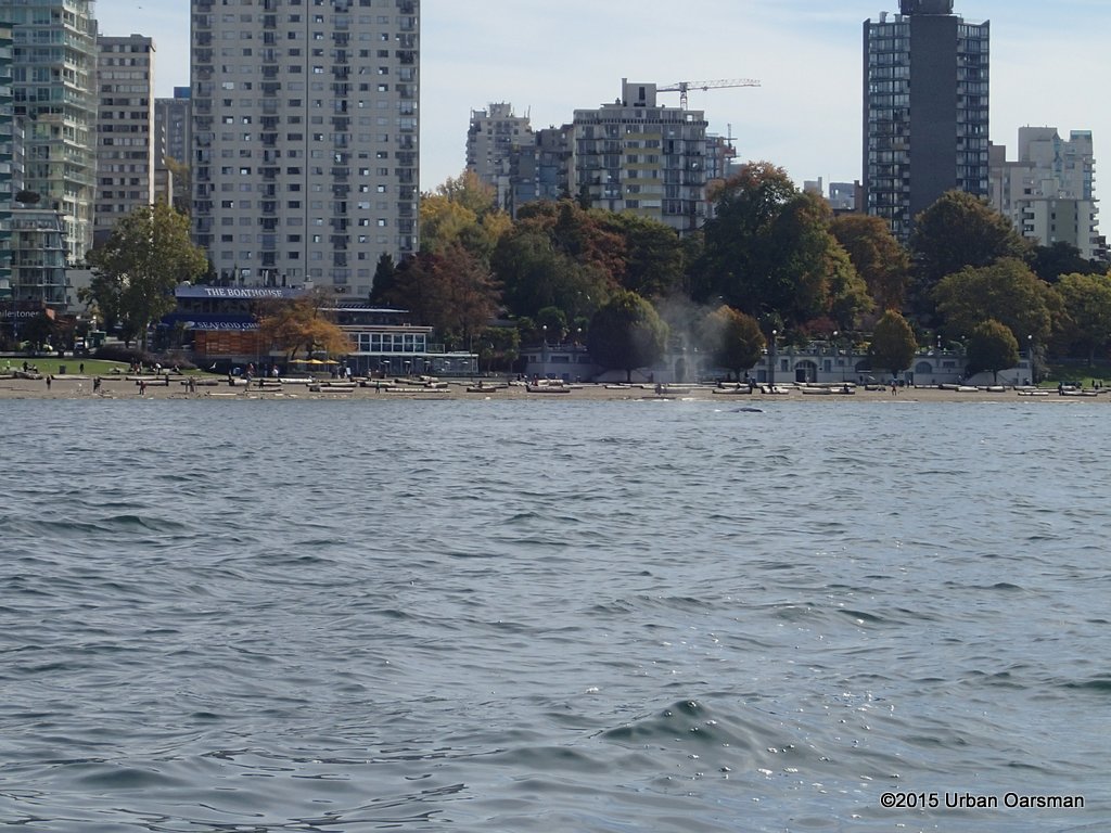 Picture three.
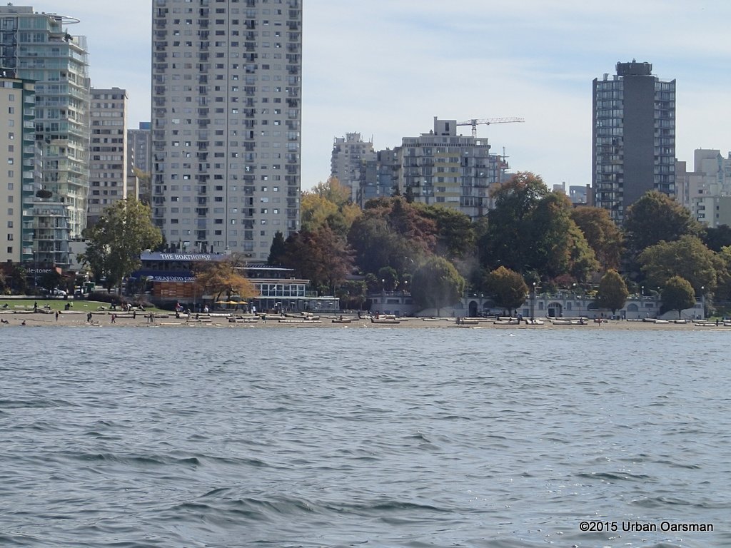 Picture four.
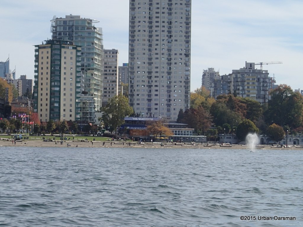 Probably my best “spout” picture.
The rest of the row is uneventful, and I am back on the beach at Hollyburn Sailing Club by 3:00pm.
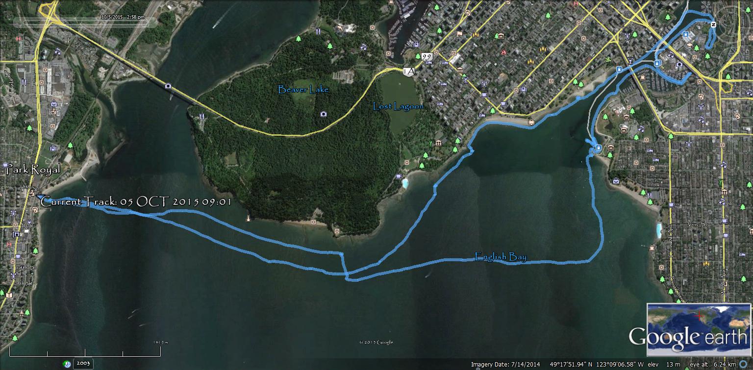
GPS track of the row. Six hours on the thwart.
 An unexpected treat, rowing by the Grey Whale.
 Good rowing,
Mike
 The tide chart for the row:
 On the beach, ready to go by 8:00am. The seas are calm and it is an easy launch.
 A container deep sea freighter heads out to sea through the morning fishing fleet.
 Today I am part of the fishing fleet. I am trolling a buzz bomb, green and silver. The rod tip indicates good action with the lure.
 No more freighters coming out.
 The False Creek Pirates are heading into Burrard Inlet.
 Their real name is Pirate Adventures. I saw them quite a bit in False Creek during the Vancouver Wooden Boat Festival.
 I row past Siwash Rock. The channel between the rock and the Seawall is awash. I do not row around the remnant of a volcanic dike and “baked” sediments. I am staying in deeper water because I am trolling and do not want my lure to catch on the bottom.
 There are eleven freighters out in English Bay.
 No freighters in the West Vancouver anchorages.
 Some fall colour in Stanley Park already.
 These two freighters seem to merge into one super long one.
 The Pacific Hickory anchored. Her engines are 2 x 20 cyl., EMD 645E7, Her thrusters: Tunnel thruster 250 hp Propellers: Twin screw, kort nozzle, Fixed pitch Gear Box: 2 falk reverse reduction Gearboxes 4,719:1 For 191 rpm @ propeller BHP 7200. Her speed is 12.5 knots Bollard Pull: 100t. She carries 610 t of fuel.
 She has only one anchor, to Starboard. She was built at Saint John Shipbuilding Ltd., Saint John, NB, Canada She flies the Commonwealth of Dominica flag. Commissioned in 1973 with acomplete refit 2007. Her length overallis 46.78 m (153.47′), Beam, 11.81 m (38.74′), Draft is 6.7 m (22′).
  Ocean Cement barge anchored.
 Pretty flat out by the freighters.
 Close-up shot of the barge.
 The buzz bomb begins to attract some gulls who are diving on the lure.
 I am close to the Vancouver Maritime Museum Heritage Harbour. I reel the line in.
 Remains of a sailboat on the Heritage Harbour breakwater. The boats came ashore during the windstorm (from the west) we had on September 20th 2015.
  More boat bits under water.
 On the breakwater.
 I row over boat debris.
 A chunk of keel on the breakwater.
 This is Oarlock & Sail’s newest build, Ragna, she is a Paul Gartside ‘Riff’ design. They launched the Gartside Riff on May 23, 2015, from here at the Vancouver Maritime Museum Heritage Harbour dock.
  Oarlock & Sail’s boats Raga, Sam Mac, Vogler and D’Arcy.
 I do not know this boat.
 The North Star of Herschel Island has been moored here for quite a while.
 Sadly, this wooden vessel has a fiberglass dinghy.
 Masts and rigging.
 Her foremast.
 English Bay beach with Grouse Mountain behind.
 Northern Spray,. I always wonder if her clinker planks are the same on both sides of her hull.
  Rowing into False Creek.
 A barge is at the Kits boat launch.
 A little tug is tied up to the new dock. No name, just a registration number. Kinda cute how this commercial vessel is tied up under the “No Commercial Vessels Permitted sign”.
  No name on the stern.
  The old dock has been removed and they are building a new one.
  Past the Burrard Street Bridge.
 I turn the corner and pass Fisherman’s Wharf floats A, B, C, D, & E.
 Flags show a slight Westerly.
 End of the cove.
  I row out past the mega-yachts.
 Under the Granville Street Bridge.
 I row around the corner into Alder Bay. No anchoring allowed. One lap and I row back out again. The wind is starting to pick up from the West and I figure that I should start home now.
 Good-bye Burrard Street Bridge.
 Sailboat wrecked at Sunset Beach Park.
 I row around the wreck. The water is pretty shallow.
 I cannot tell is the hull is floating at all. It may still be aground.
 The boat is probably high and dry at low tide.
 I continue along towards the Inukshuk.
  Another beached sailboat. Looks like a San Juan 21. Poor old Donegal Mist.
 I notice something off the bow of this sailboat.
 It is a grey whale. In reading the news reports, they say that it does look to be the same individual that was in the area in August.
  I take some more pictures. They identify grey whales by the uniqueness of the barnacle growths on them.
 The whale seems to be feeding in front of English Bay Beach.
 Grey whales are often seen close to sandy shorelines because they dine on small marine invertebrates that they filter from sediment or sand on the ocean floor. The Grey whale is coming close to shore and scooping up mouthfuls of sediment and filtering that for his prey.
 The crowd is Whale Watching. I row along the beach, in 5 to 10 feet of water to avoid the Grey Whale.
 The Audubon Society Field Guide to North American fishes, Whales & Dolphins says: “Gray Whales(Eschrichtius robustus), grub along the bottom for gammarid amphipods, the staple of their diet, and leave a cloud behind them as they move”.
  The Field Guide also states: “Their spout is not distinctive”.
 This is the Whale heading towards me.
  Diving down for a snack.
 Up again.
 A lot of this activity happened in front of the Boathouse.
 Picture one.
  Picture two.
 Picture three.
 Picture four.


Hello, your website and photos are tremdous! Thank you for your time effort and dedication to the sport of rowing.
I am wondering if you would grant me permission to print 3 photos from your website for a friend’s birthday who has a passion for rowing and freighters. The photos are:
Whale of a Row 20
Whale of a Row 36
Whale of a Row 38
With your permission, I will have and 8 x 10 of each printed by London Drugs in Victoria BC but we require permission from you first.
Thank you,
Lauree Gray