Sapperton Channel Row. March 16th, 2015.
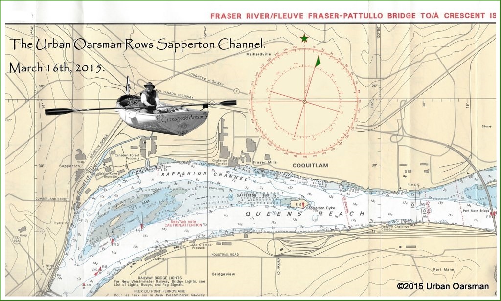 The Urban Oarsman rows from Maquabeak Park boat launch by the Port Mann Bridge to City Bank and back.
The tide was high, 2.5m (8.2′) at 5:02am, it will be low, 1.7m (5.6′) at 10:37am and high again, 2.2m (7.2′) at 3:05pm. The winds were calm and the river flat. It is still early in the year and the spring flood has not yet begun. Not a big snow pack this year.
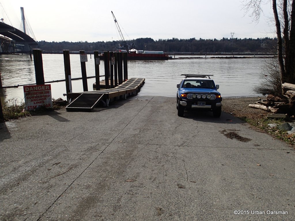
At the Maquabeak Park boat launch. Because of the Port Mann Bridge deconstruction and the new water pipe crossing construction, the parking lot has been mostly taken over. There is still parking for a half-dozen boat trailers.
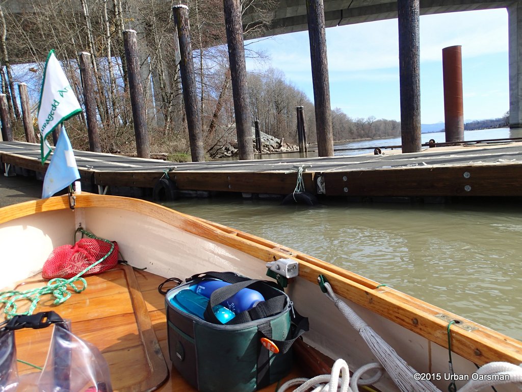
Leaving the boat launch. They have refurbished the dock for the use of the deconstruction workers going to and from the old Port Mann Bridge.
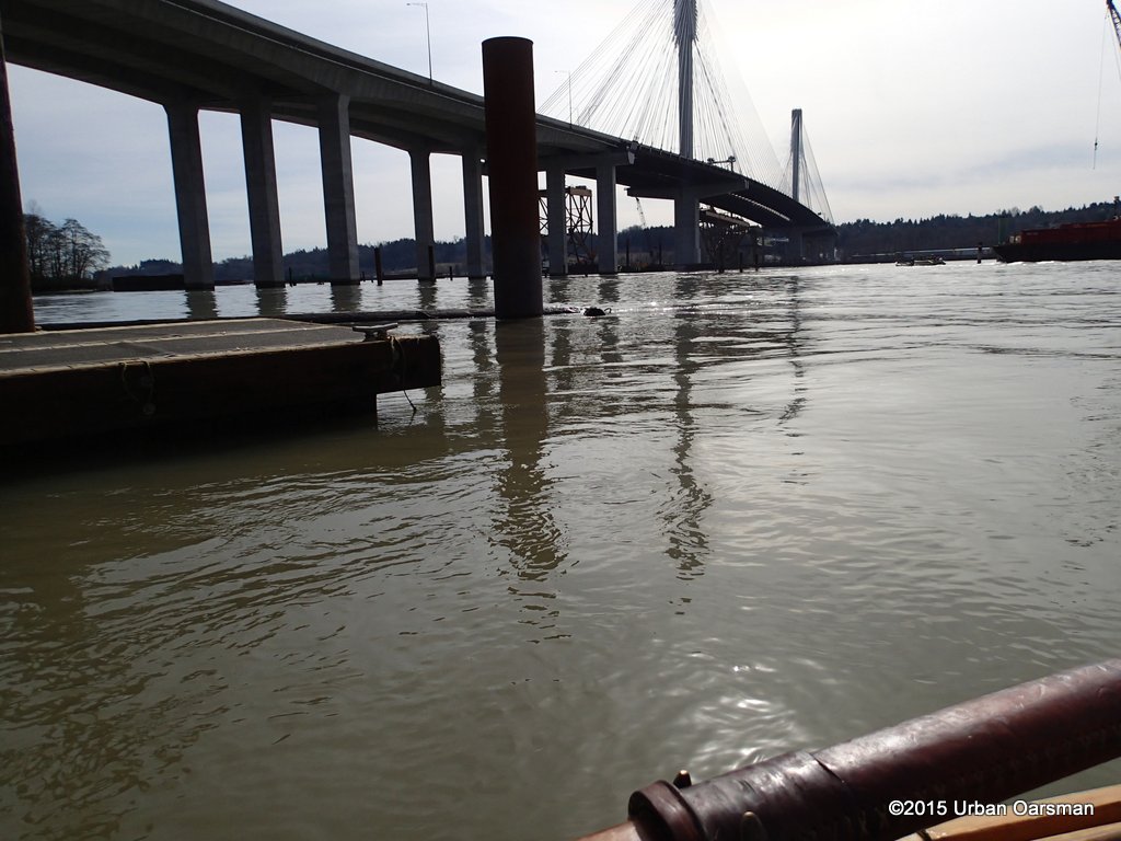
The New and what is left of the Old Port Mann Bridges.
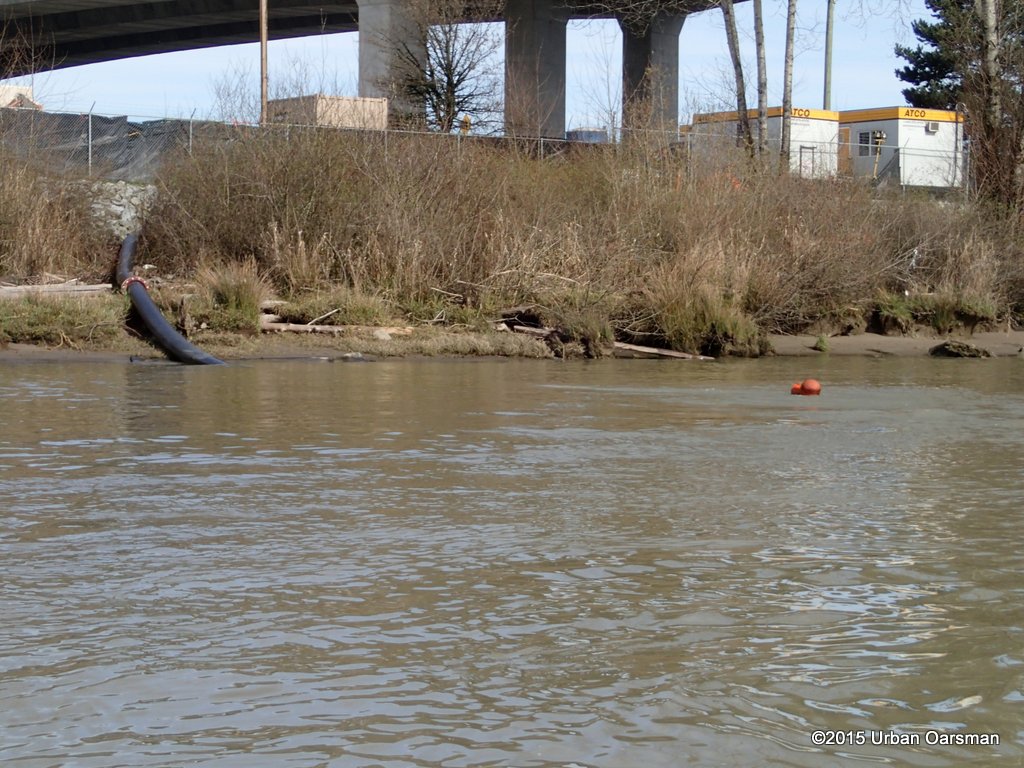
The outflow from the new Port Mann Water Supply Fraser River crossing sump pump.
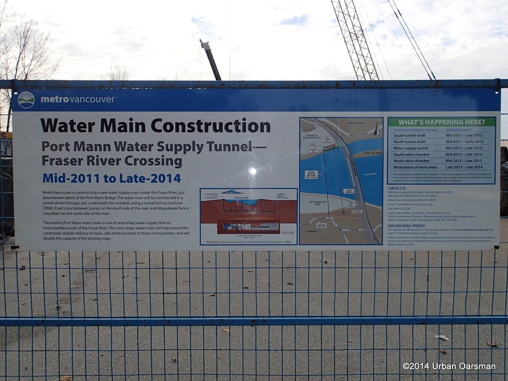
They seem to be taking a little longer than they thought.
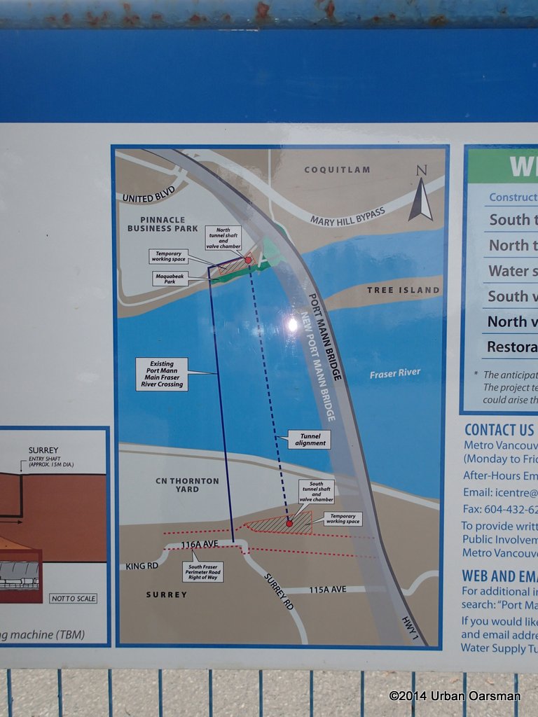
An idea of where the tunnel is going:
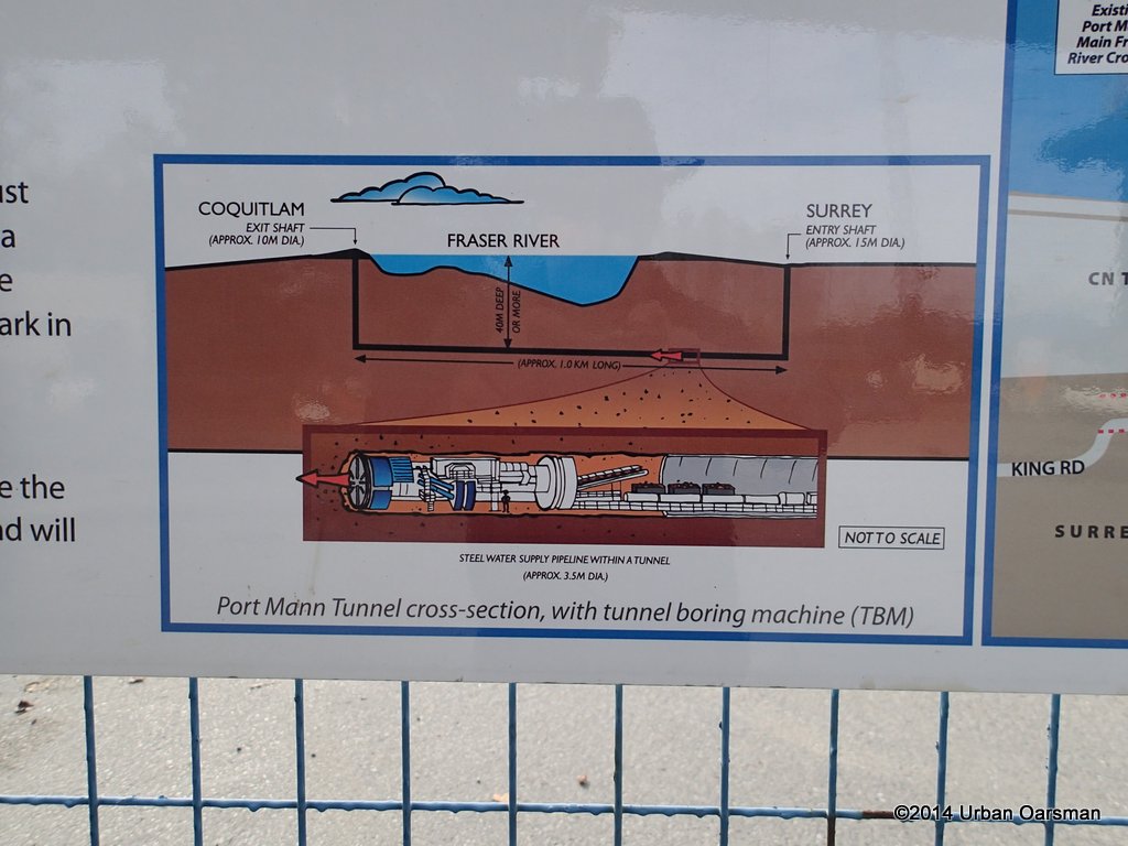
They are using one of those “Mole” tunnel boring machines.
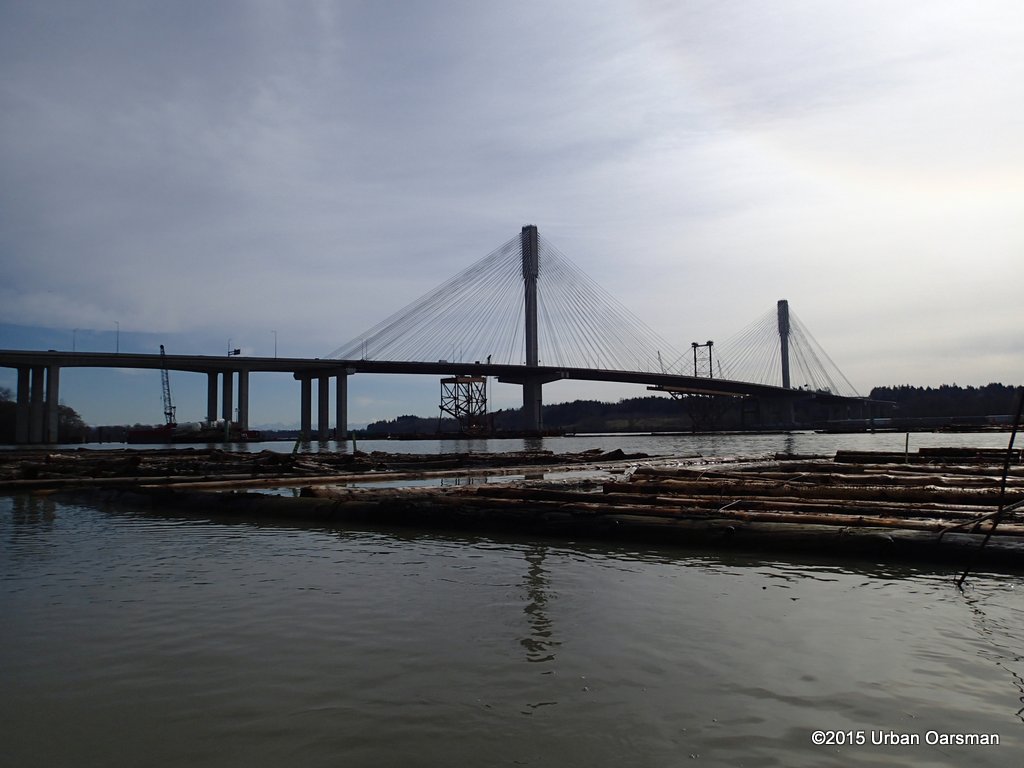
Not much left of the Bridge.
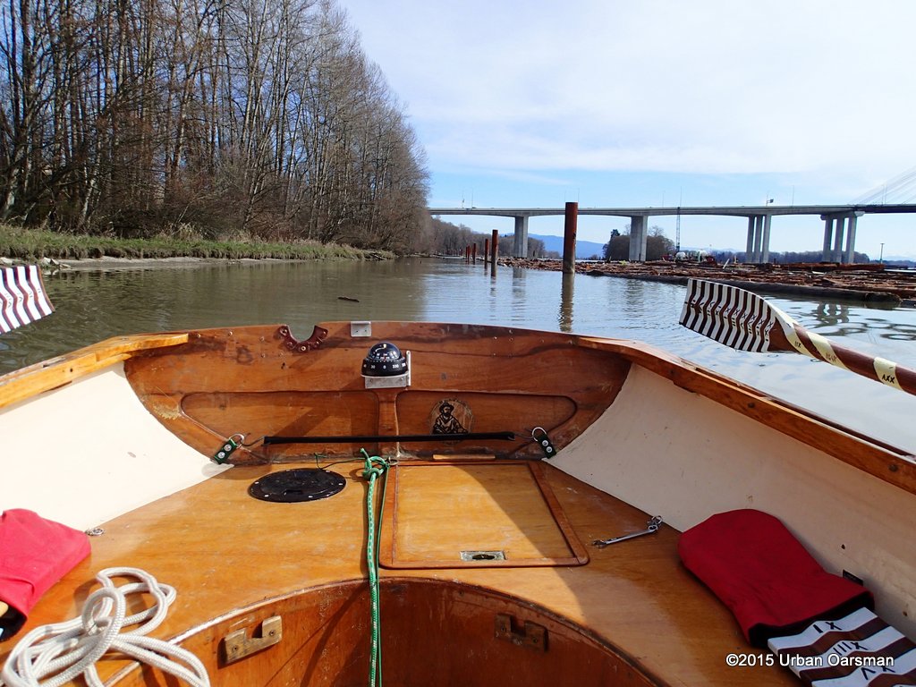
Looking up river at the bridge and the boat launch. I am rowing between the log booms and the North shore. There is a pathway along the road on the North.
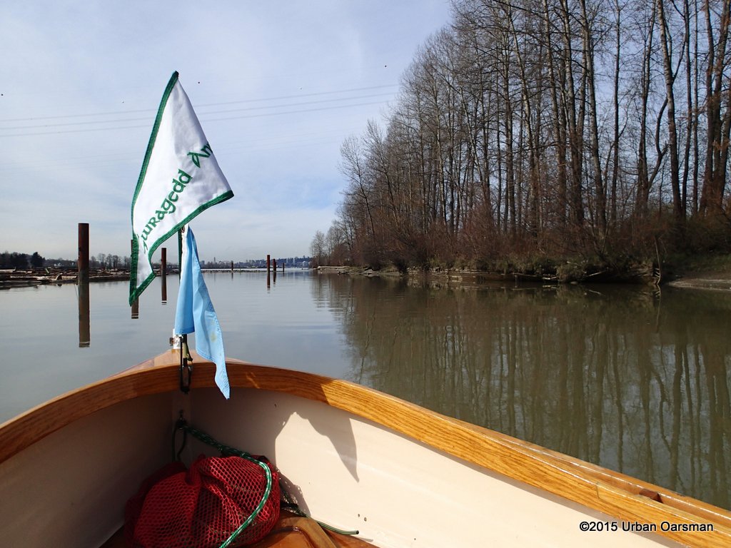
Looking down river.
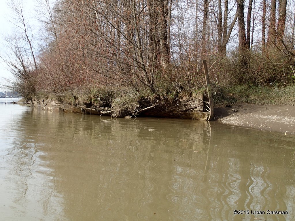
Dead and treed boat on the North shore. Not much left now.
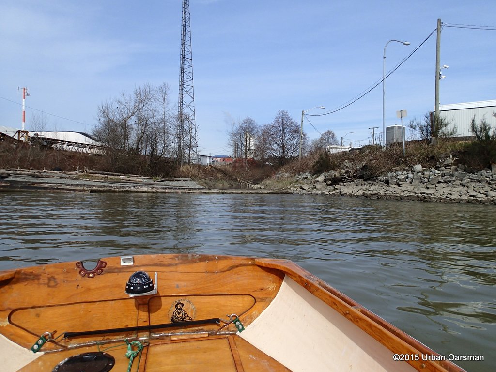
Just past the power line crossing a small creek enters the river. It’s mouth is blocked by a log bloom. I row in to investigate.
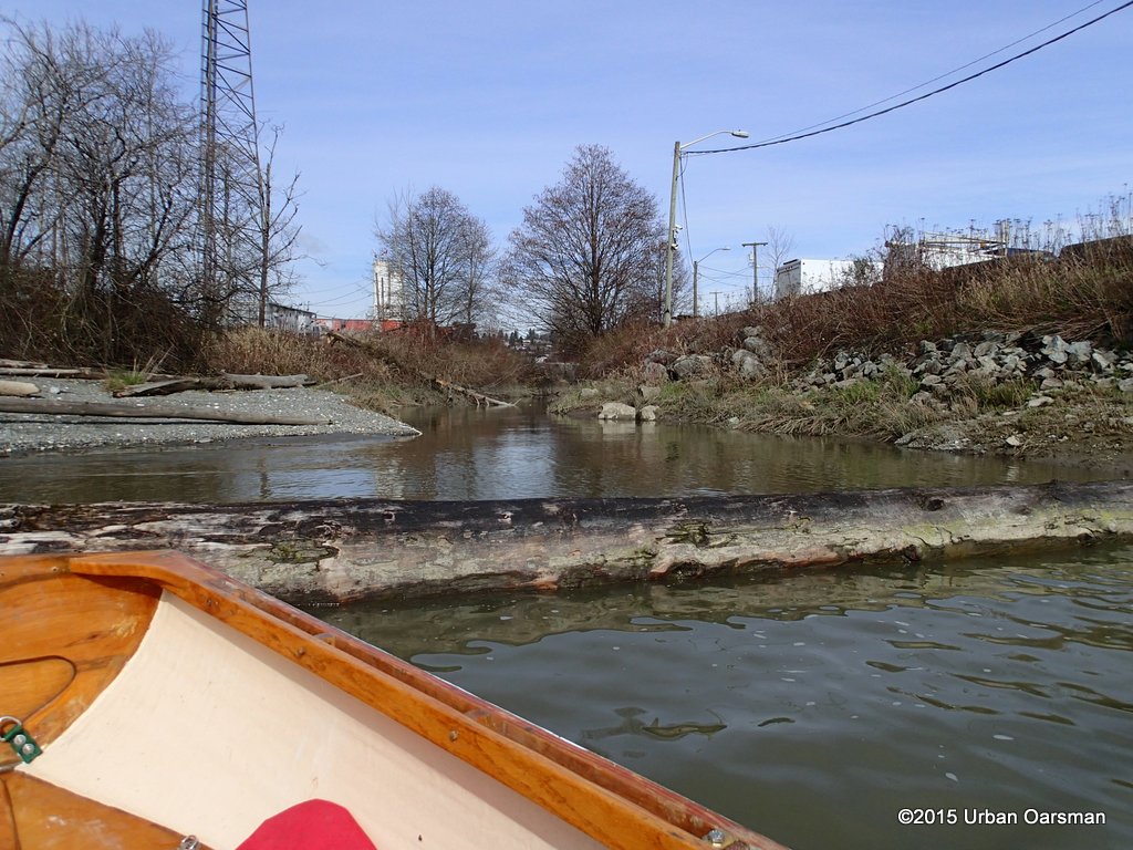
At this tide, I cannot make it past the log boom. Looks like it comes from a culvert.
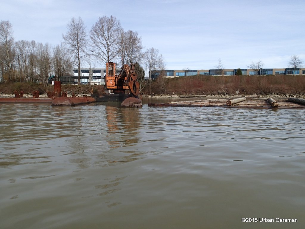
An excavator on floats with a log grapple boom.
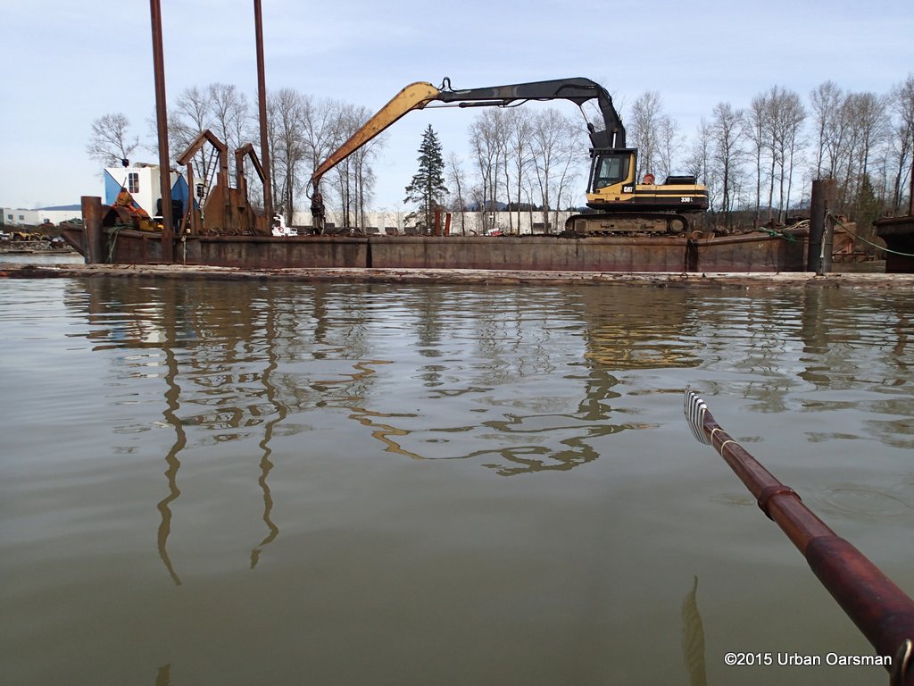
An excavator with a log grapple on a barge.
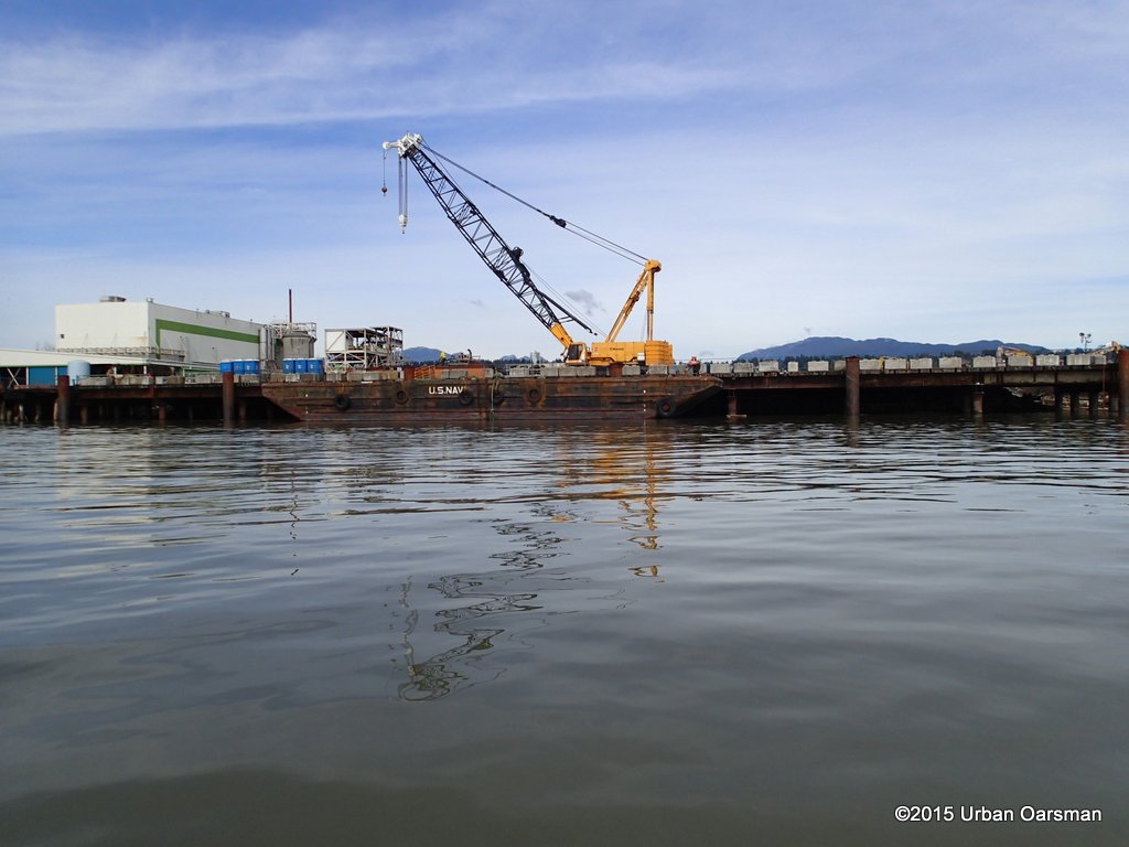
An excavator with a crane on a dock. The barge was being used to transport material from the Port Mann Bridge deconstruction site.
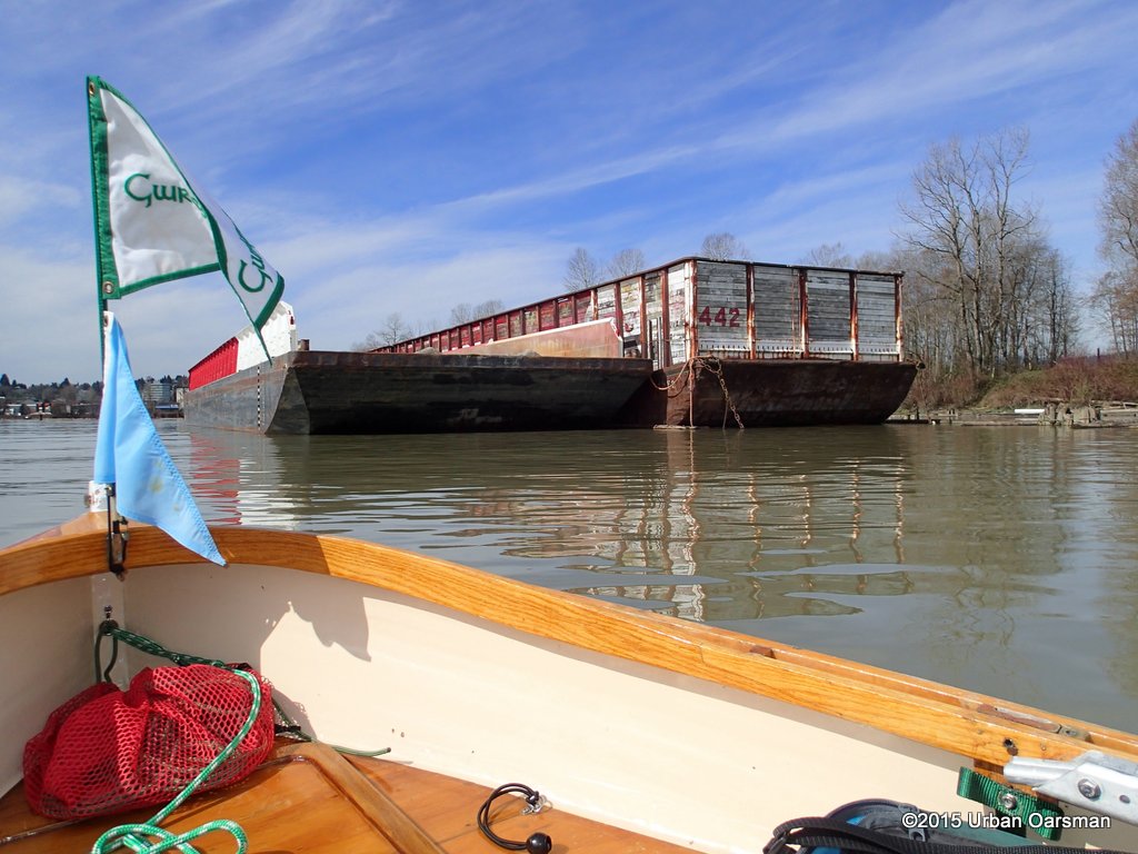
A string of barges moored on the North shore.
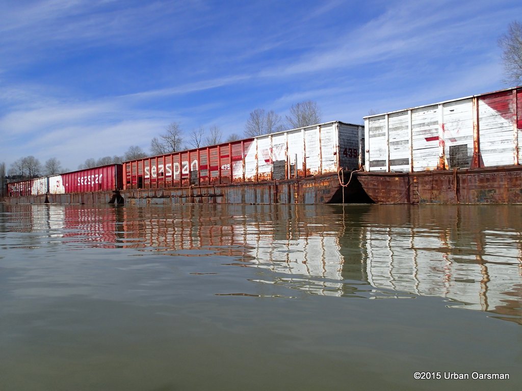
Some of these barges seem to have been here for years.
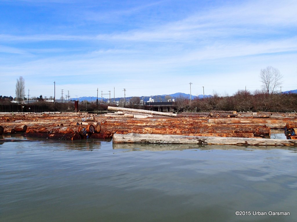
Log booms block an inlet at the old Canadian Forest Products site. Perhaps I can get around them.
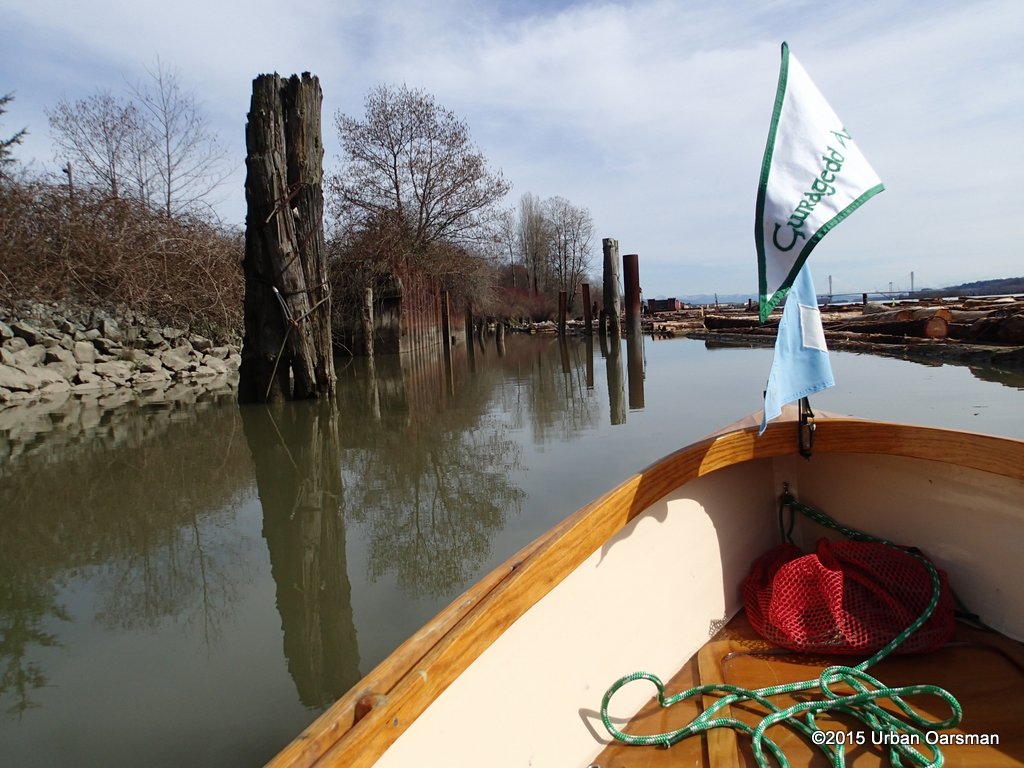
I have gone down river and am now rowing up between the log booms and the shore towards the inlet.
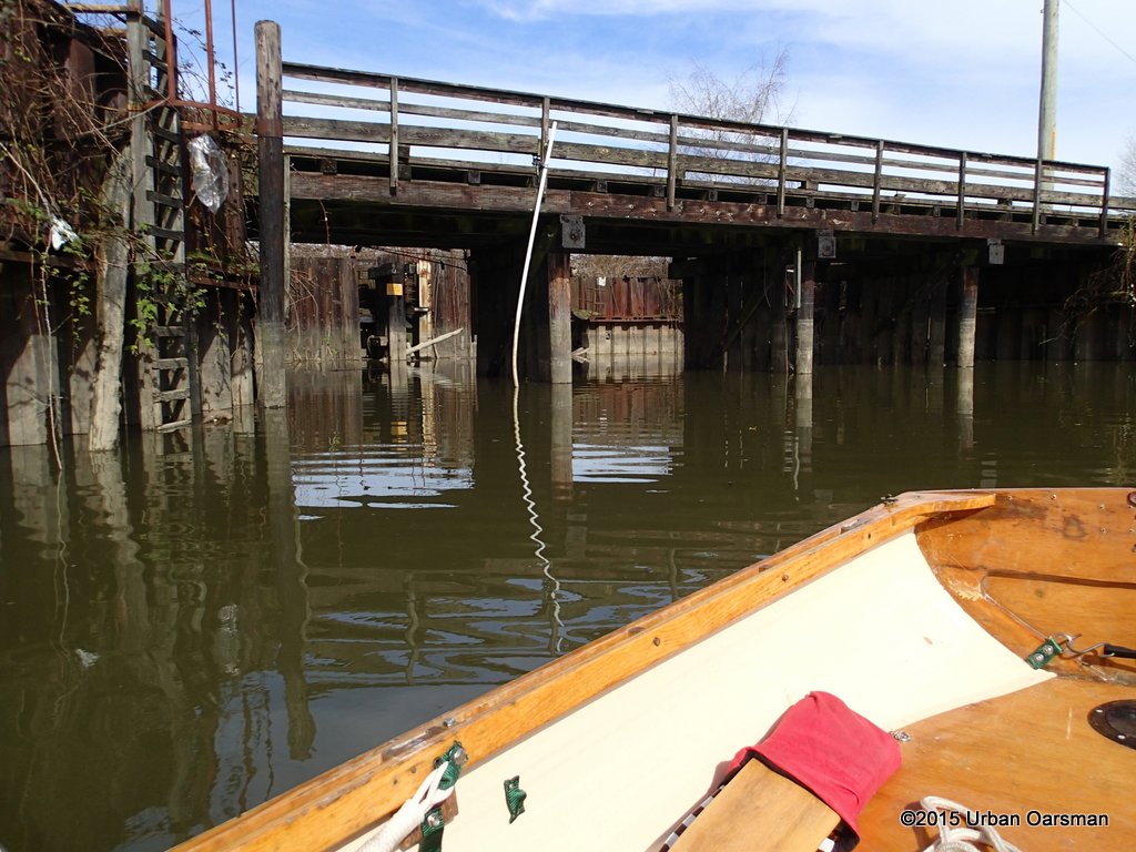
The end of the inlet.
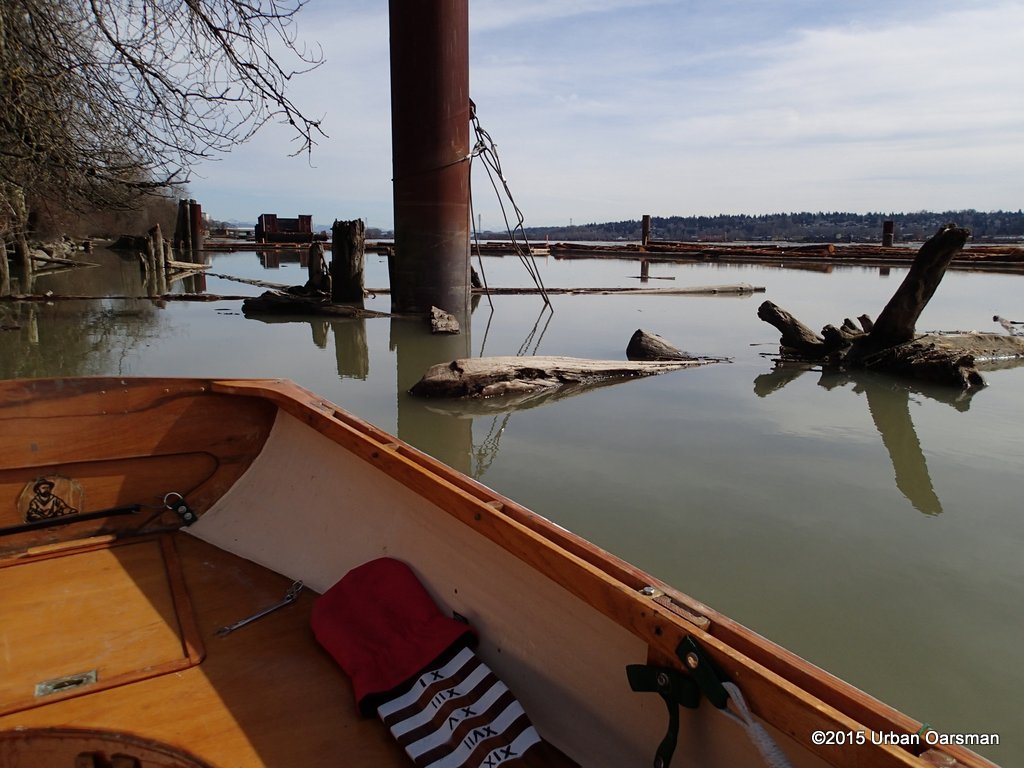
Rowing out, I push between the log booms and the dolphins by the shore.
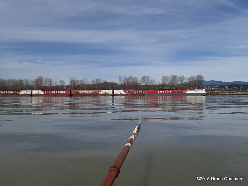
I row to the other side of Sapperton Channel, hoping to avoid the Frasers Current. Passing the barges, rowing beside City Bank and Sapperton Bar.
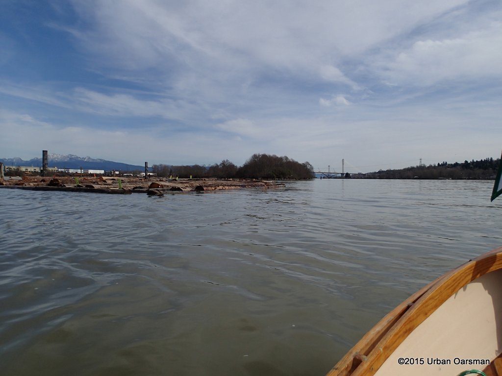
Sapperton Dyke, a small wooded island in the middle of the Fraser. Sappereton Channel is to the North (left), Queens Reach to the South (right).
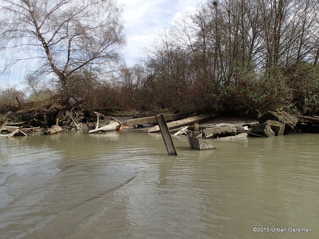
Sapperton Dyke is made up of fill, some of which has a lot of metal in it.
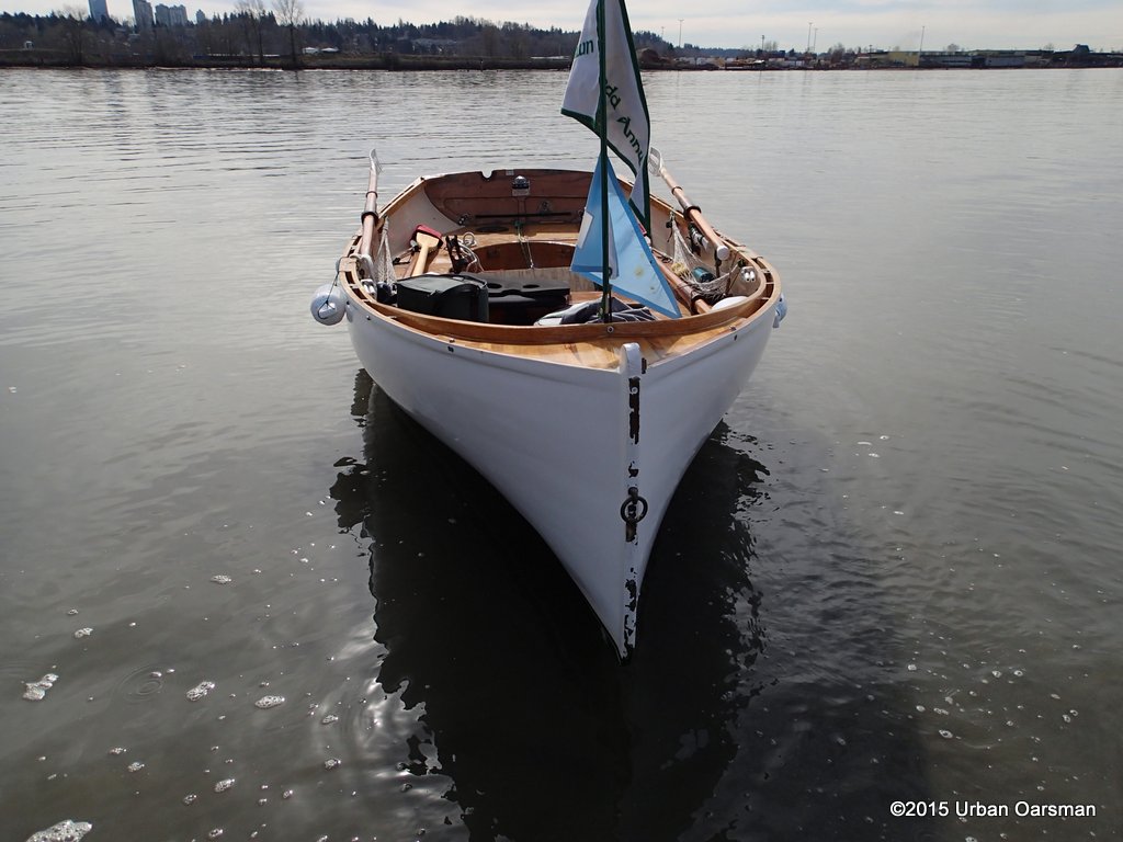
Gwragedd Annwn on the sand at Sapperton Dyke. It is more sand than mud here.
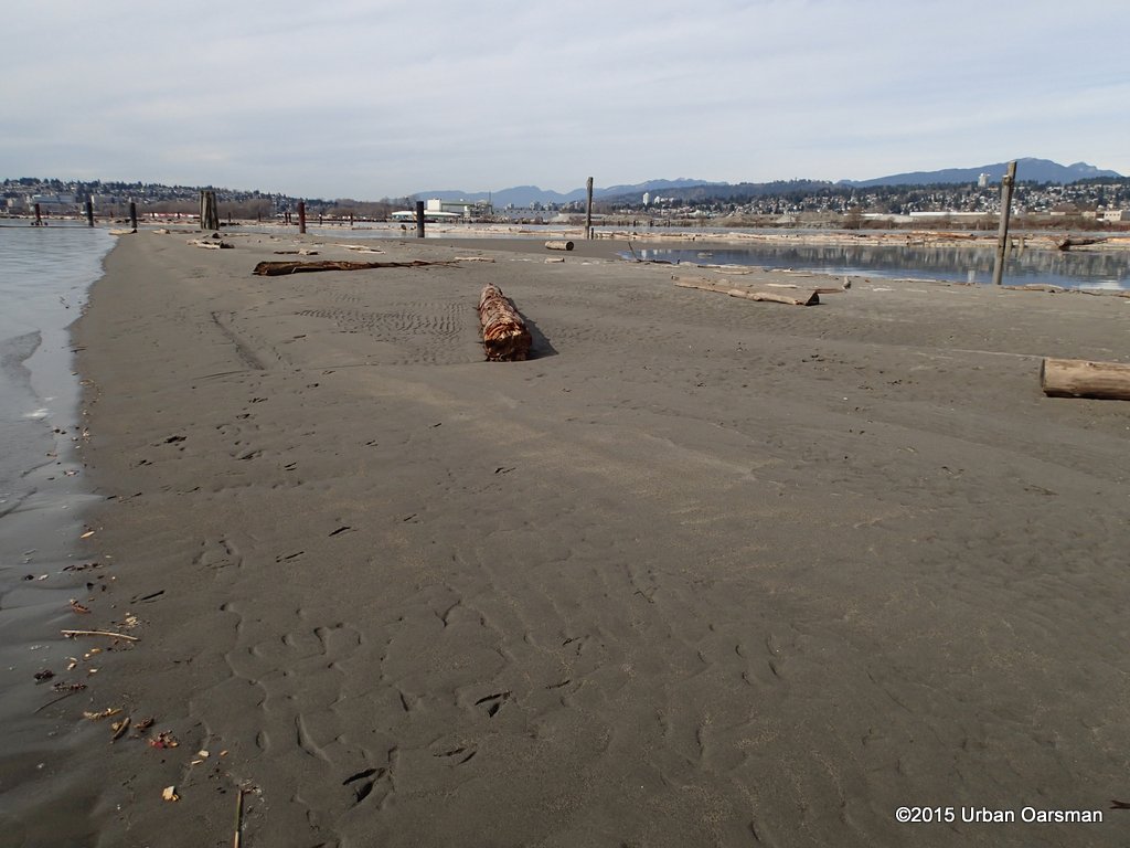
Looking West along Sapperton Dyke. City Bank is in the far background to the left.
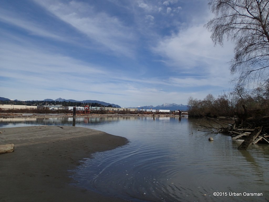
Looking North-East, Sapperton Dyke is the treed area to the right.
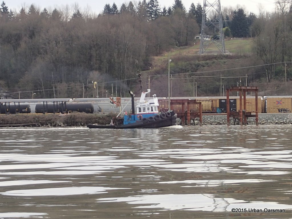
The “Storm Fury” passes under the power line crossing going downstream.
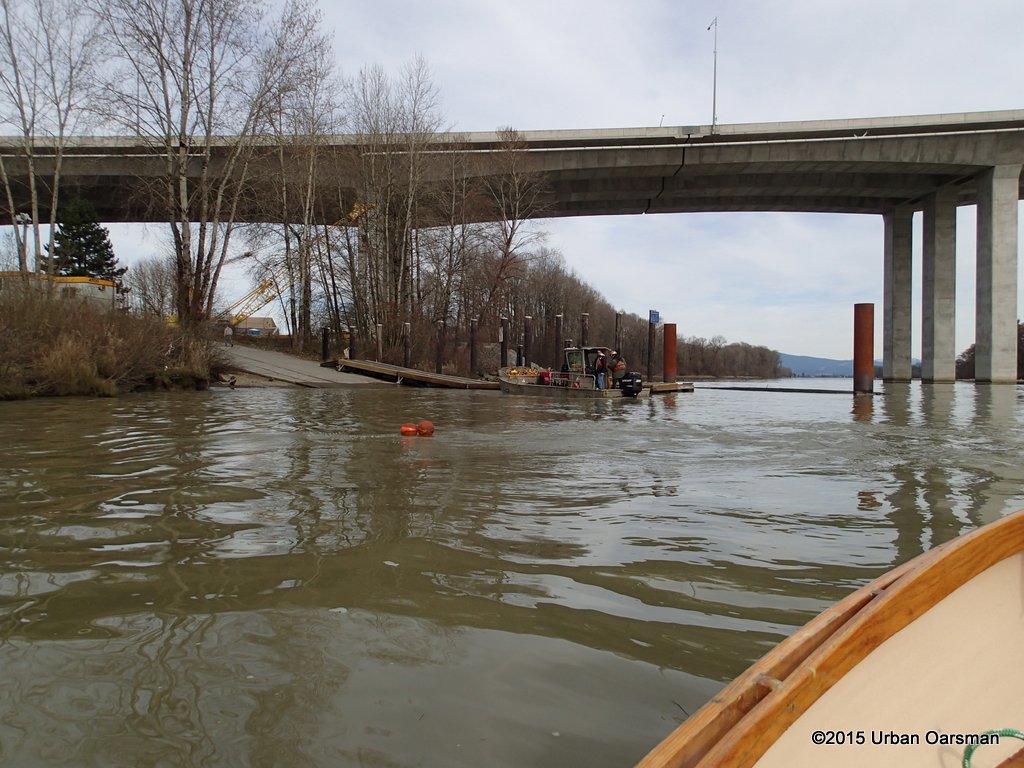
Back at the boat launch, the deconstruction crew is going home for the day. They took this boat away with a trailer. I wait for the crew to go home.
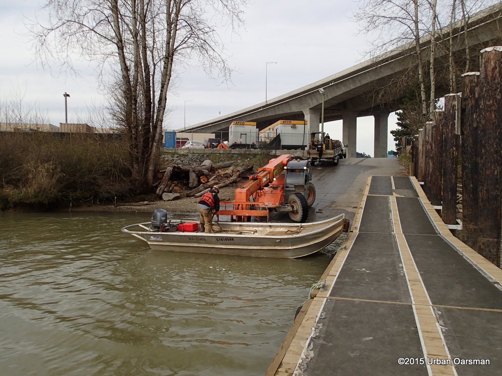
I had to see this. The deconstruction lads use a forklift to put the second boat away. The lad in the boat ties the boat to the forklift.
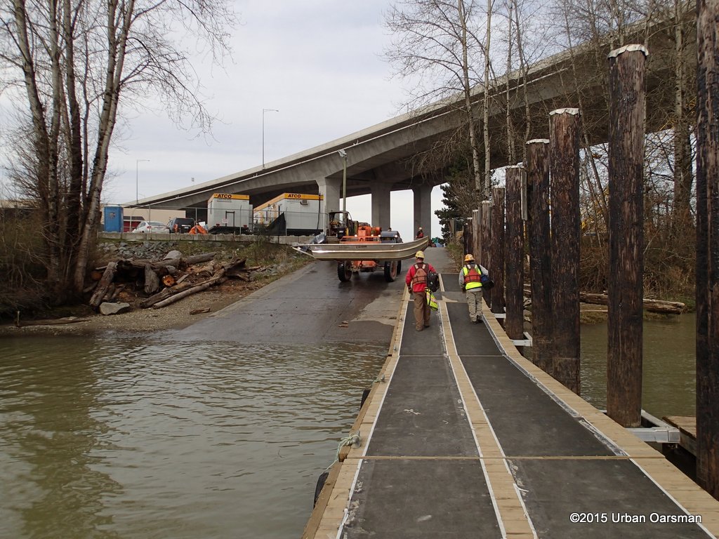
He steps out and the forklift lifts the boat out of the water and then puts it into the locked construction compound. Pretty slick!
Topo map of City Bank, Sapperton Channel, Sapperton Bar and Sapperton Dyke.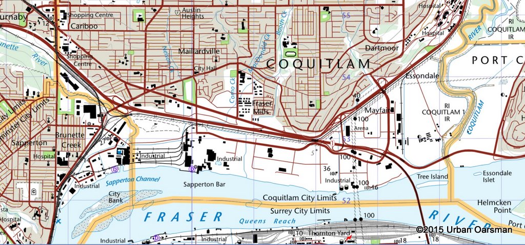 A good row with almost perfect conditions.. Good Rowing,
Mike
 The Urban Oarsman rows from Maquabeak Park boat launch by the Port Mann Bridge to City Bank and back.
 A good row with almost perfect conditions.. Good Rowing,


