The Siwash Rock Sunset Row. May 31st, 2014
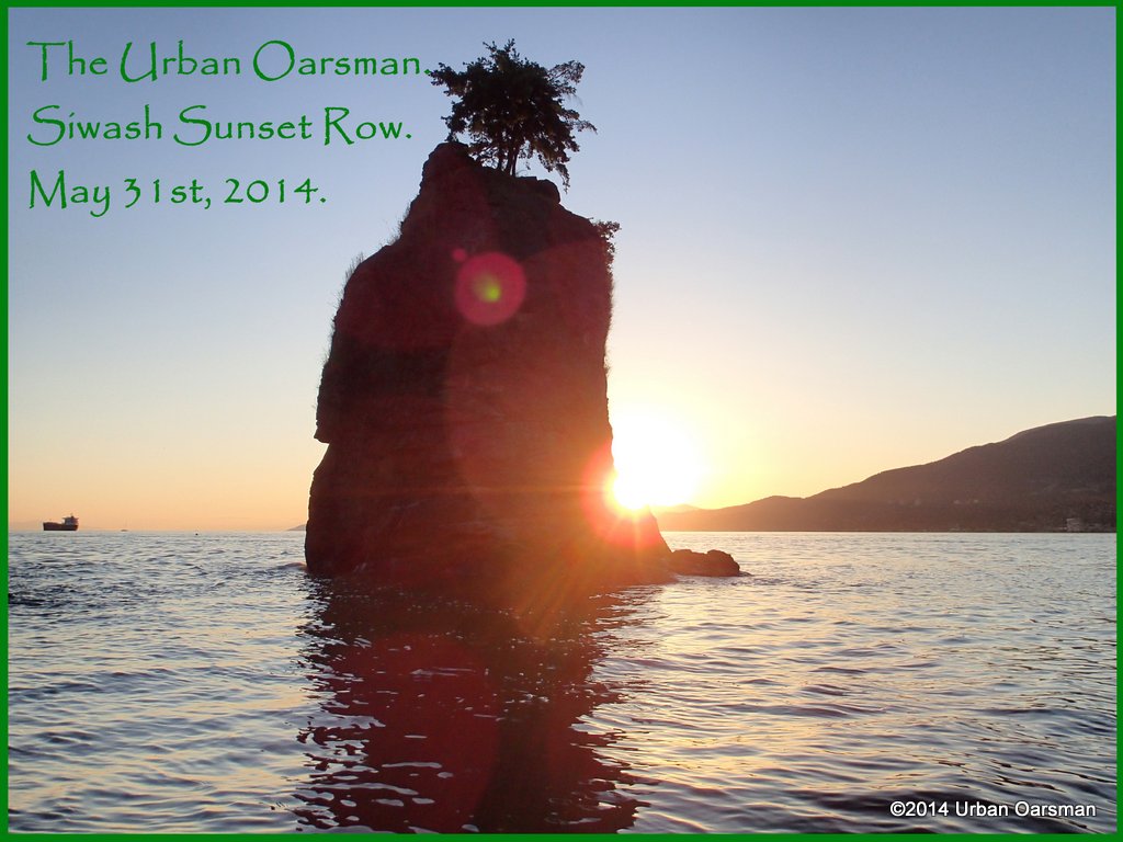
May 31st, 2014. A perfect evening to watch the Sunset at Siwash Rock. Of course being the Urban Oarsman, I will watch from Gwragedd Annwn.
The Low low tide was around 2:00pm, .9m/3′ and the High high will be around 9:30pm, 4.5m/14.8′. Sunset will be around 8:20.
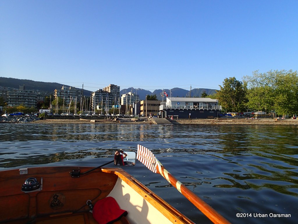 I row due South, away from the Ambleside launch ramp at 6:40pm.
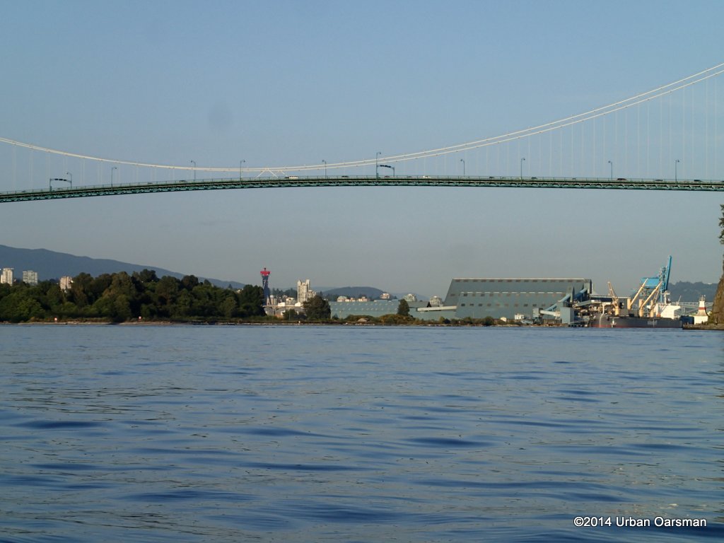 The incomming tide pushes me towards First Narrows and Stanley Park.
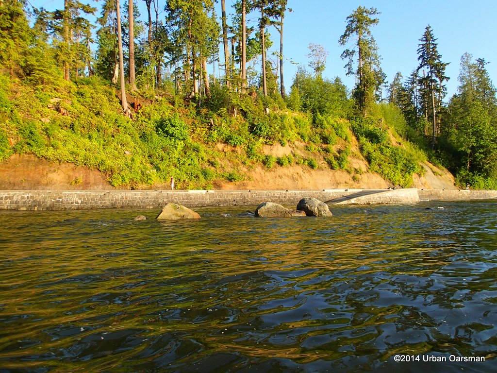 About 20 minutes later, I arrive off Stanley Park. At low tide, this is a boulder beach, with several large eyebolts in the rock.
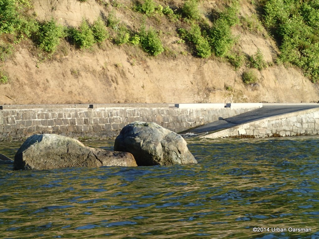 I pass the ramp to the beach and row on to Siwash Rock.
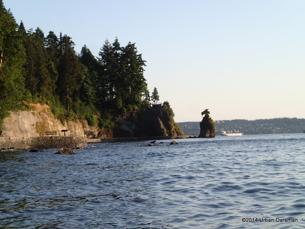 Except at the highest tides, it is always a good idea to stay 300 feet (100 meters) or more off the shore at Stanley Park. There are many rocks along the shore. Some quite far out.
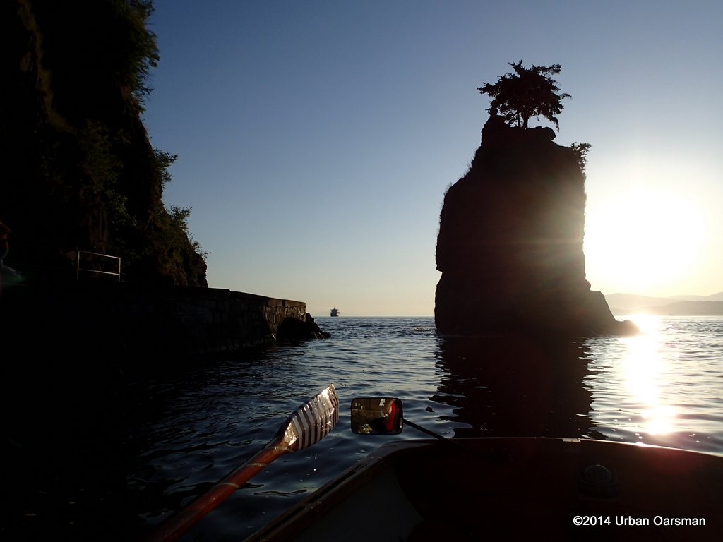 I row into the cove behind Siwash Rock and begin to take photos.
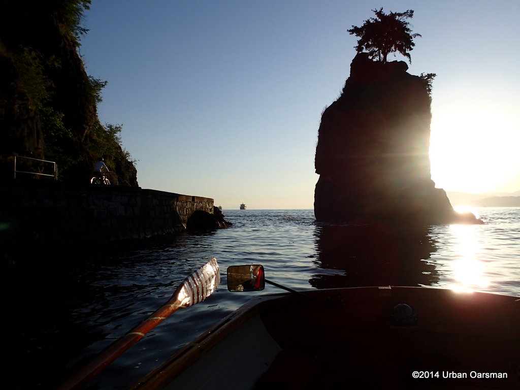 A cyclist rides by.
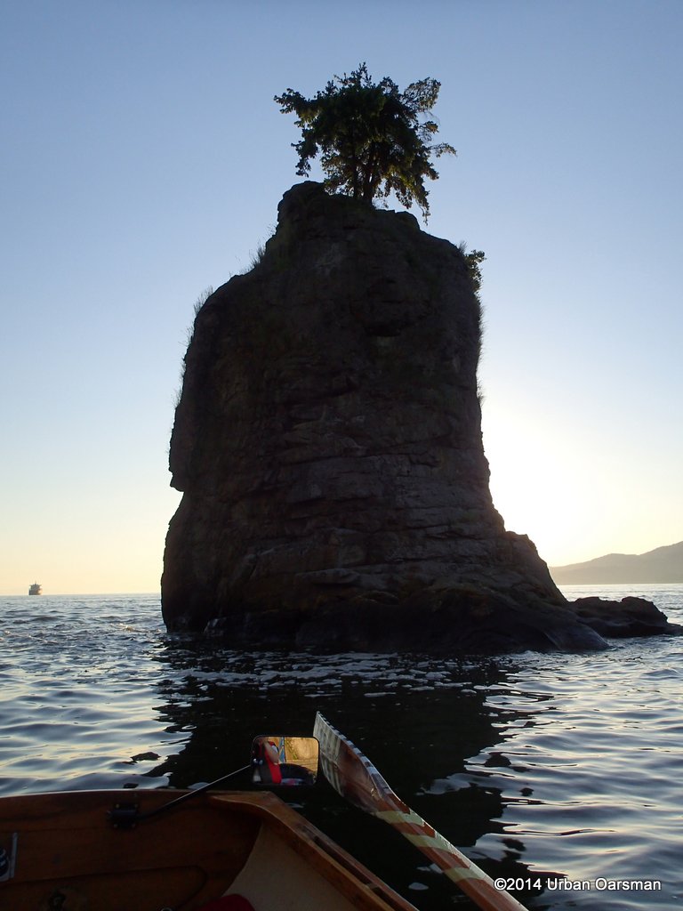 The signature trees. I understand that the original tree died in the exceptionly dry Summer of 1965 and these are replacement trees.
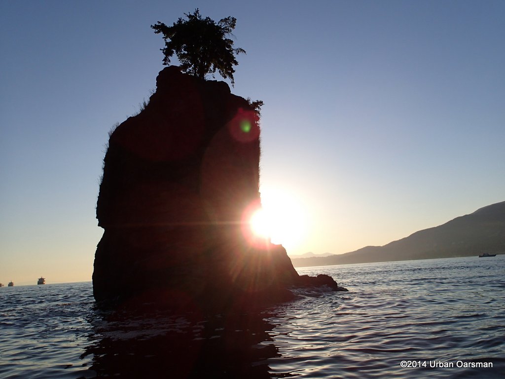 I row around to get different photos of the sun behind Siwash.
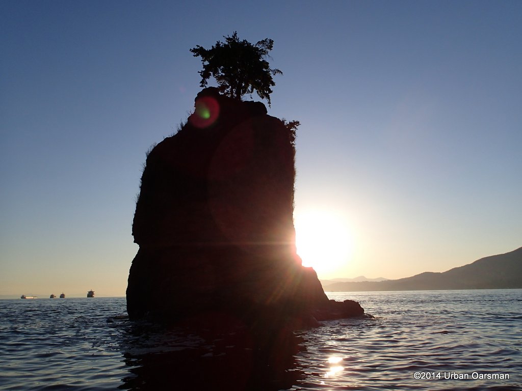 The sky is cloudless.
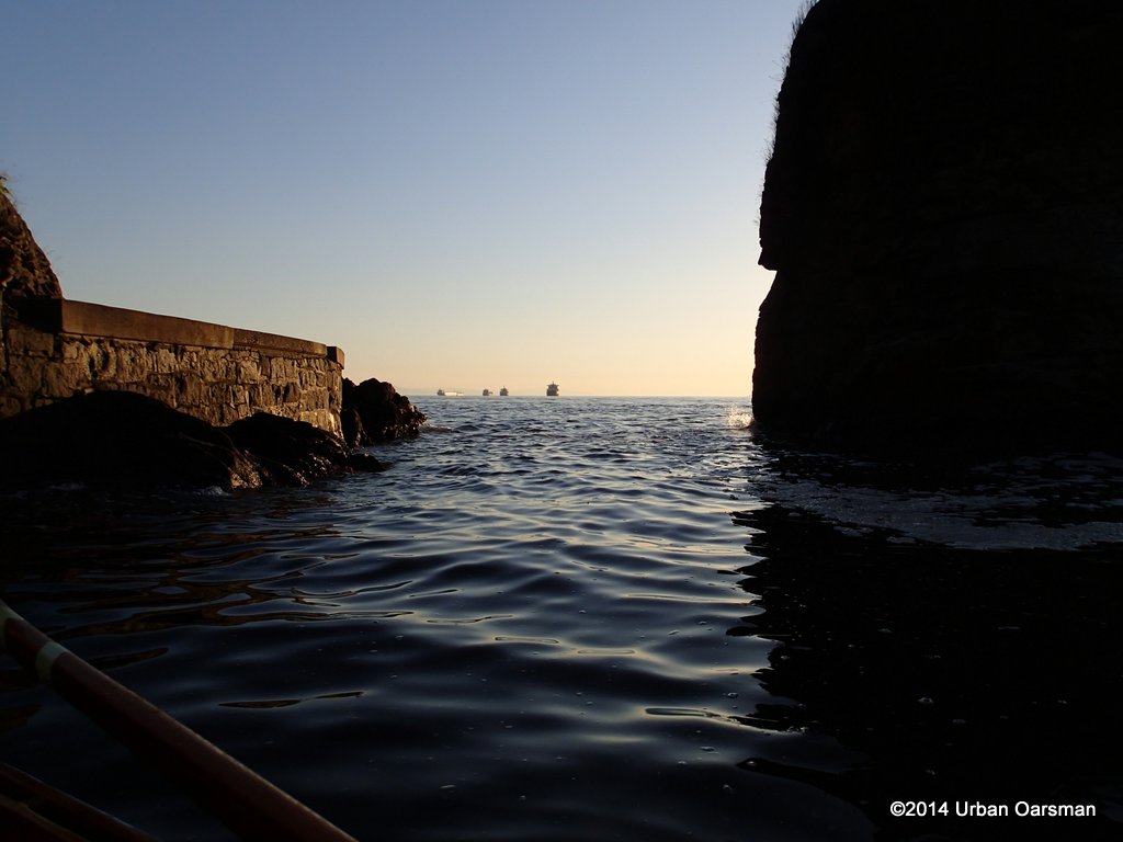 The high tide channel between the rock and the shore.
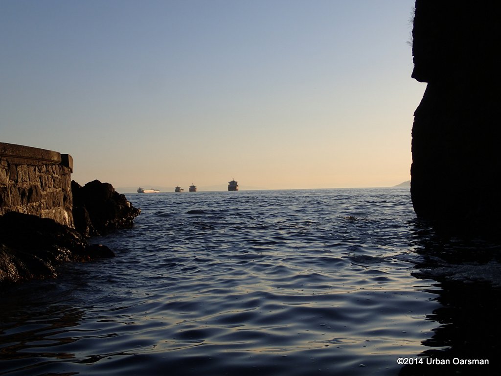 I circumnavigate the rock to take some photos from the outside.
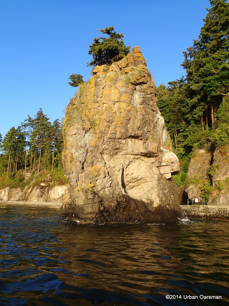 I have always wondered about the “eyespot”.
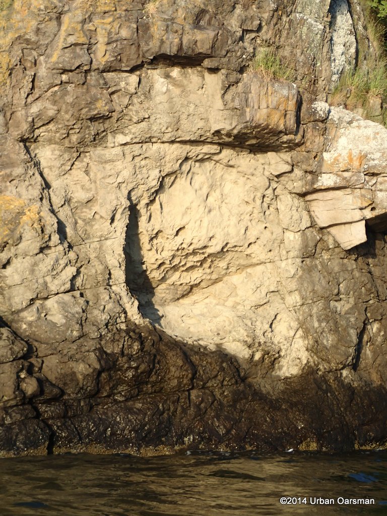 Close-up of the “eyespot”.
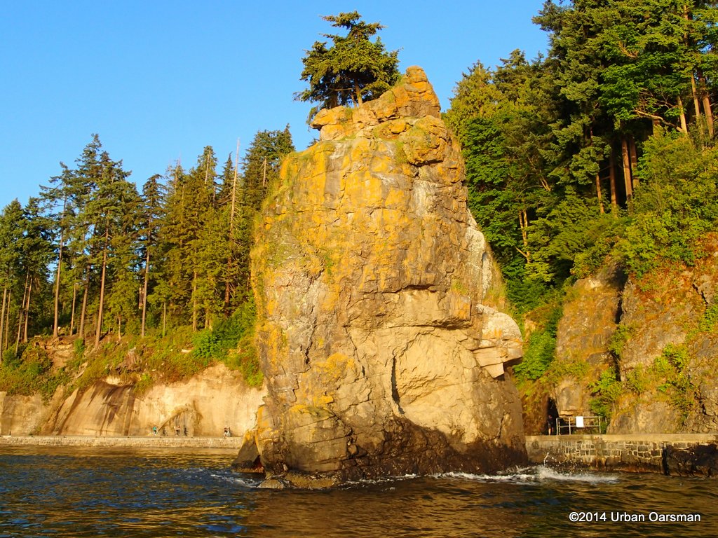 Very few people see Siwash Rock from this angle.
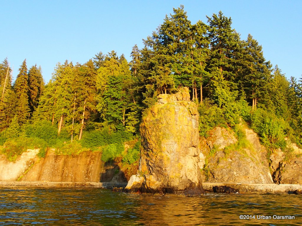 Looking South-East at Siwash.
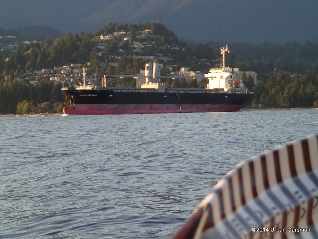 The Ocean Seagull heads out of Burrard Inlet, going to one of the English Bay anchorages. That is Sentinal Hill behind the freighter.
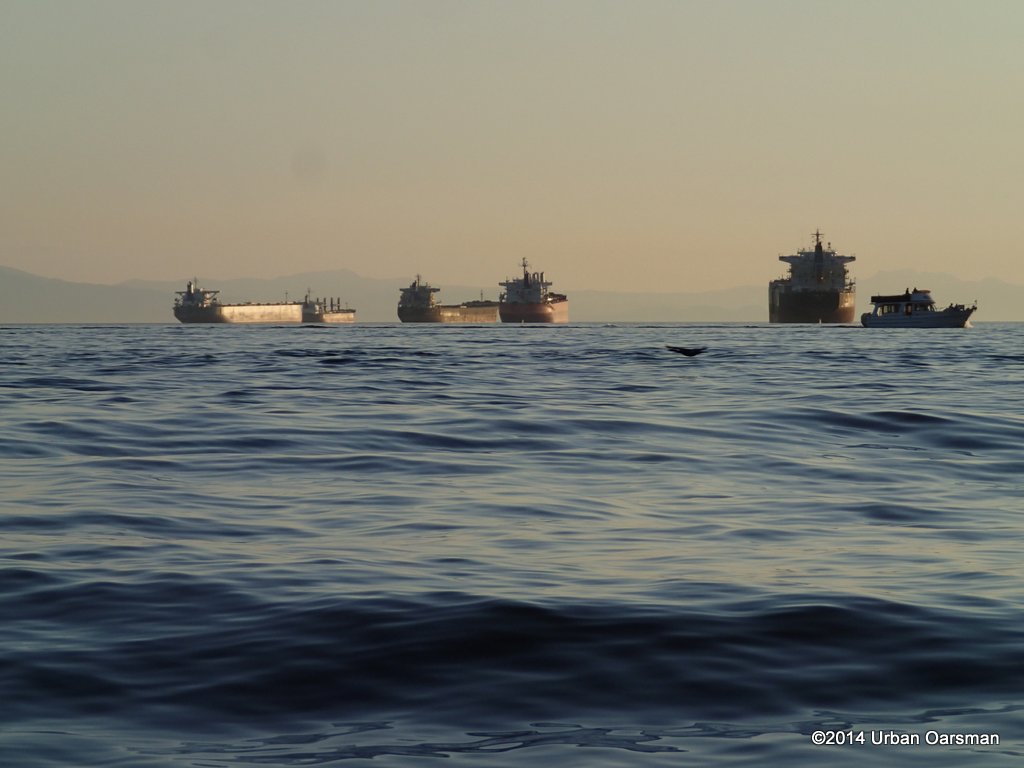 Other freighters sit in the middle of English Bay. The black streak is a cormorant flying by.
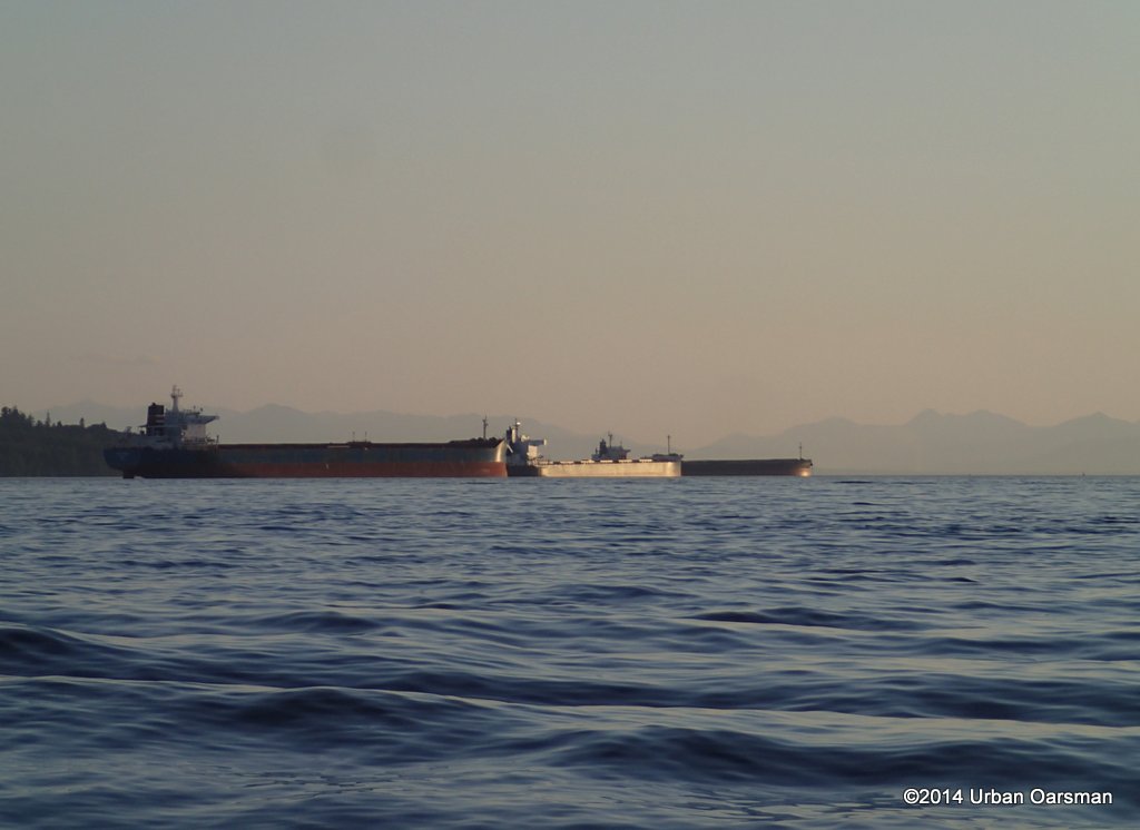 Freighters on the North side anchorages, off Jericho beach.
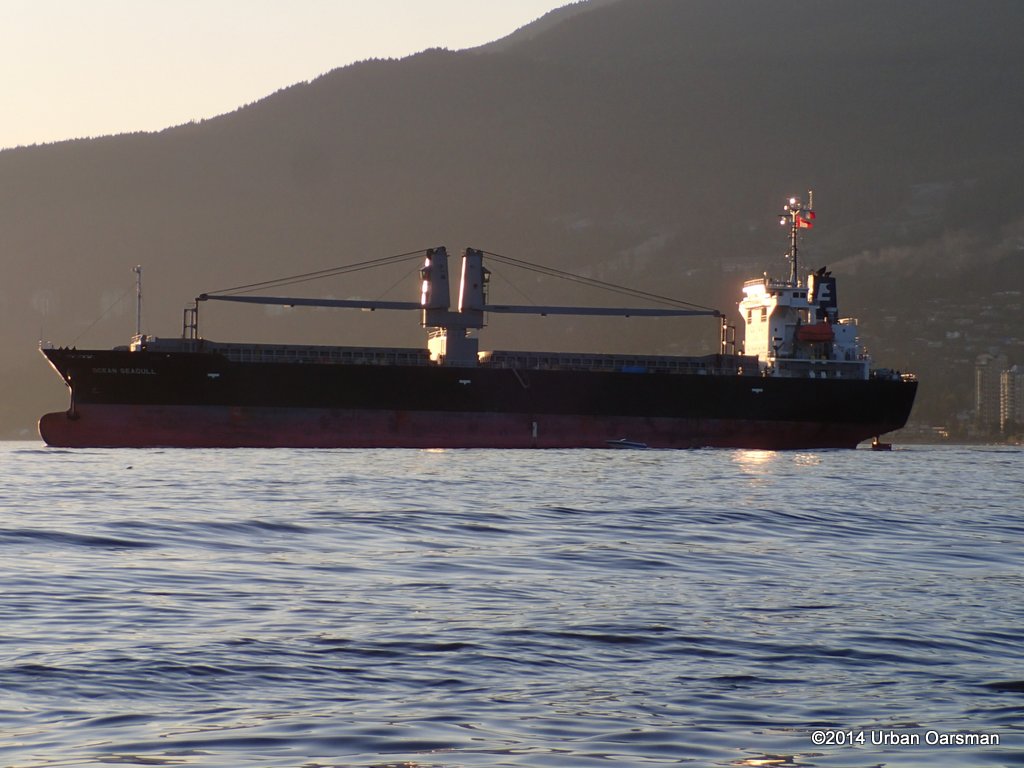 Ocean Seagull changes course and heads for an anchorage.
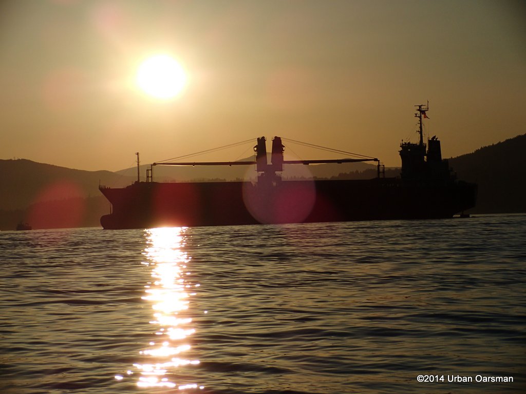 A couple of Ocean Seagull Sunset shots:
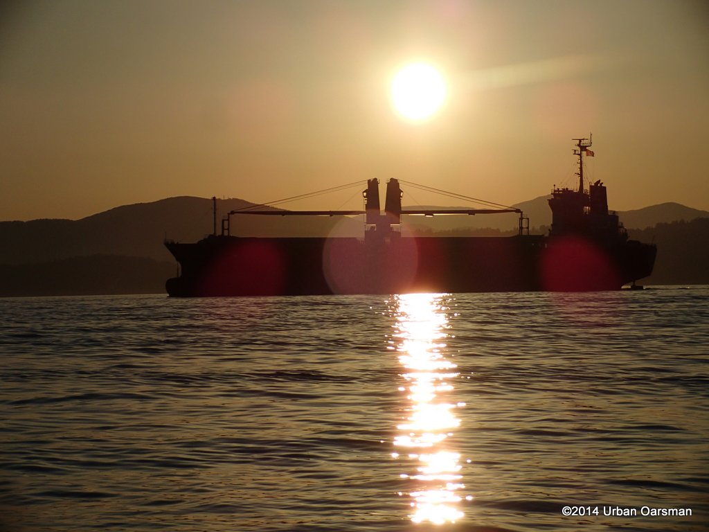 Her anchor is ready.
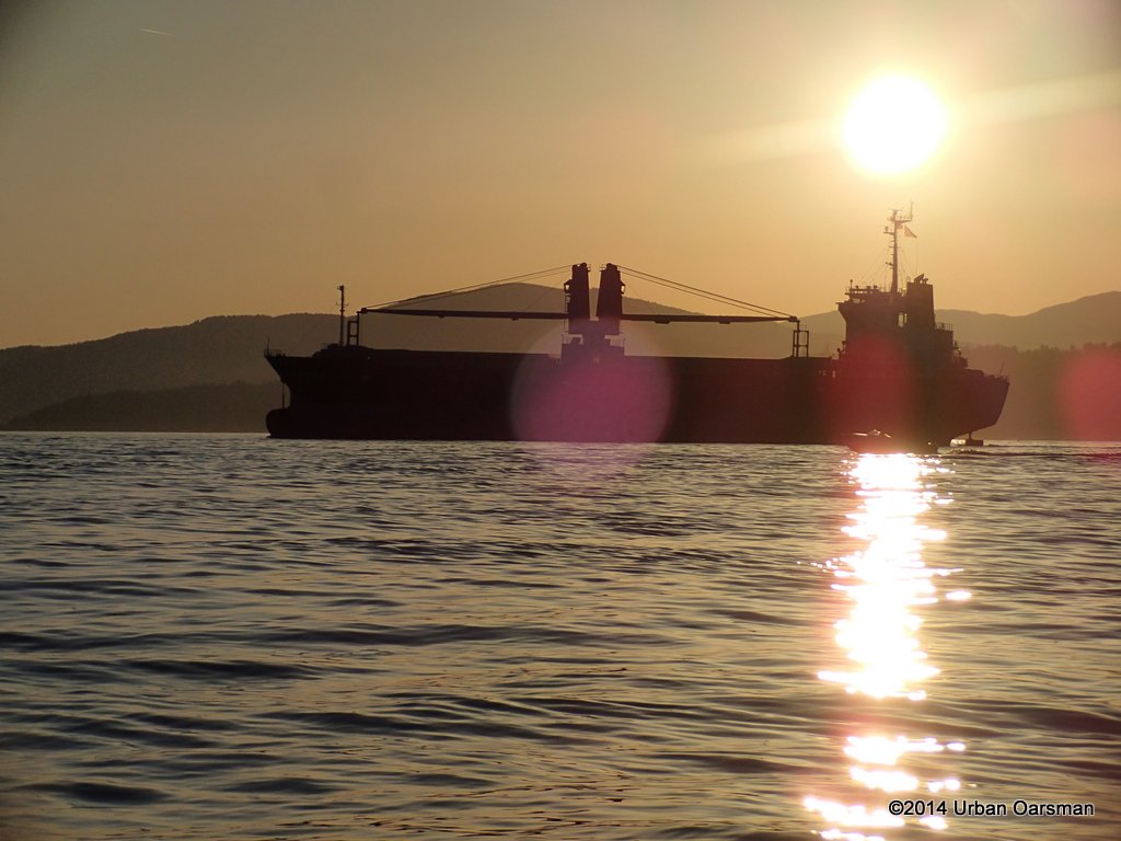 She is a general cargo frieghter.
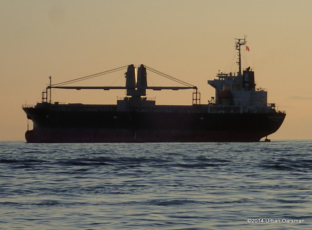 I never do see her port of registry.
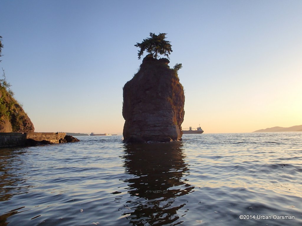 Passing behind Siwash.
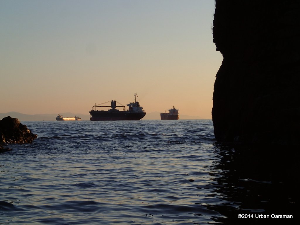 Photo of her through the channel.
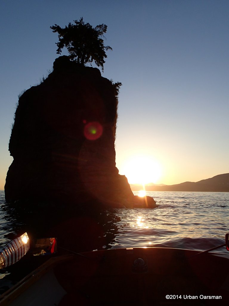 I take some more photos of Siwash, trying to get a really good one.
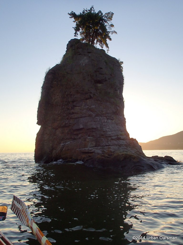 With the sun behind the rock, you can see some more of the East side.
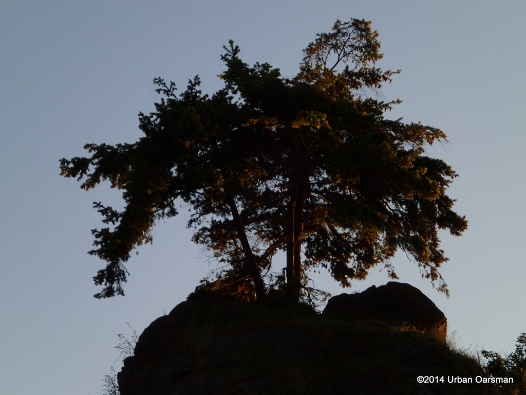 The three Douglas Fir trees, planted in 1968 still survive.
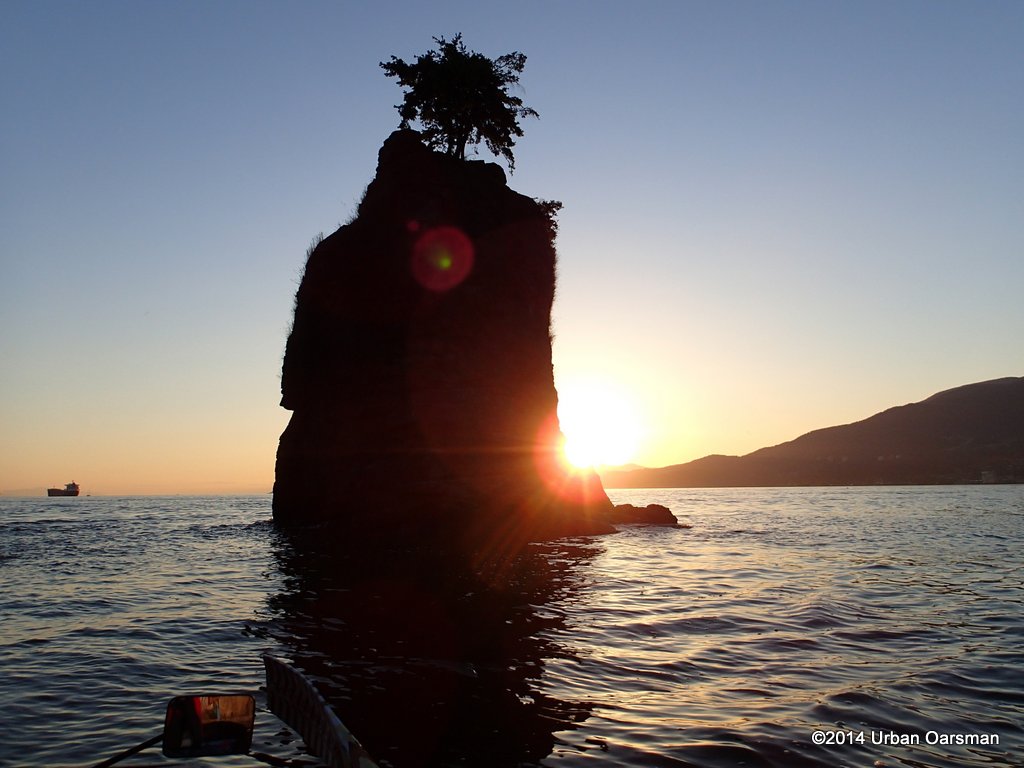 Another Sunset photo. The arm of land in the background is Lighthouse Park in West Vancouver and the tall mountain to the right is Bowen Island.
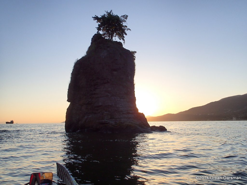 About an hour into the row and the view is wonderful.
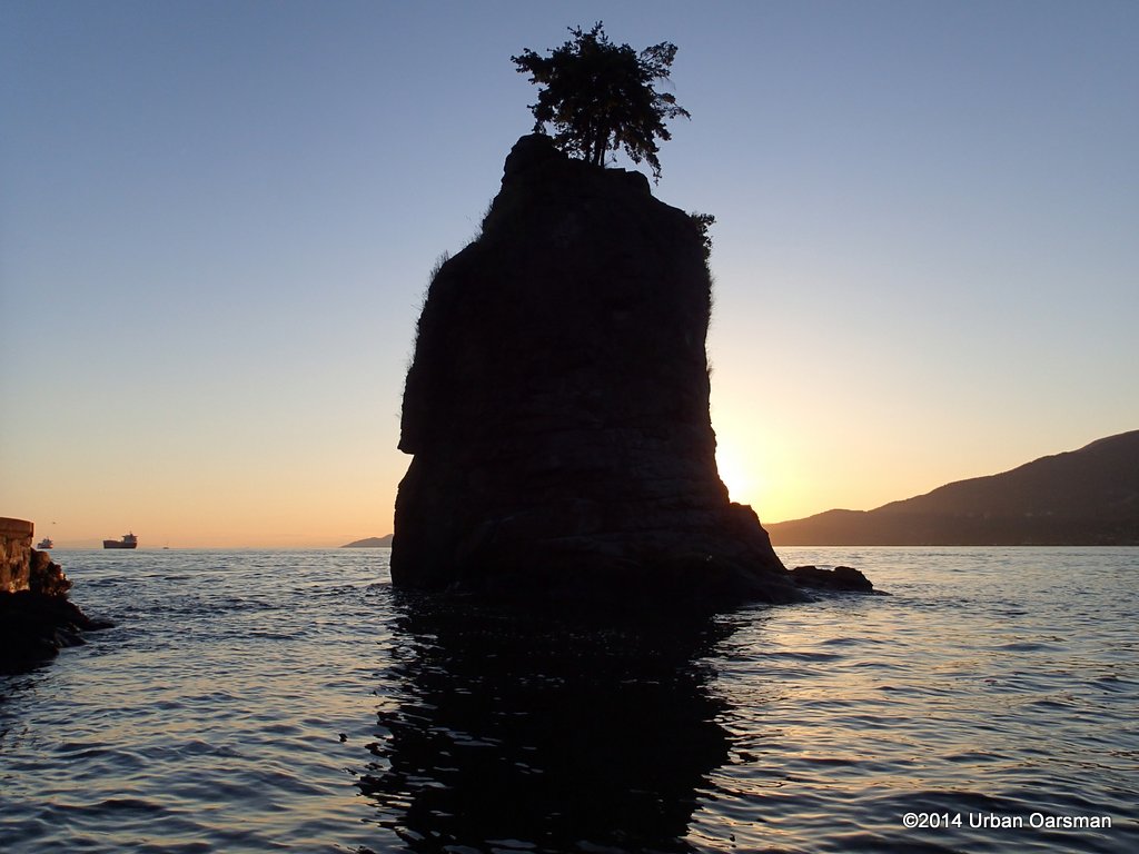 I am just drifting in Gwragedd Annwn and taking photos.
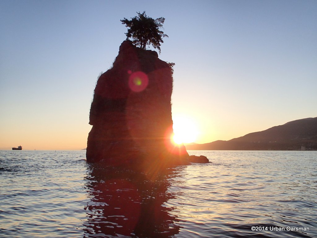 I guess it would be helpful if I really knew what I was doing.
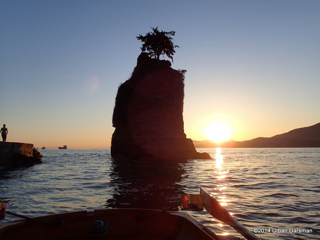 There are a lot of people on the seawall.
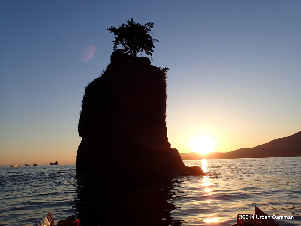 I am trying to get the trees more silhouetted.
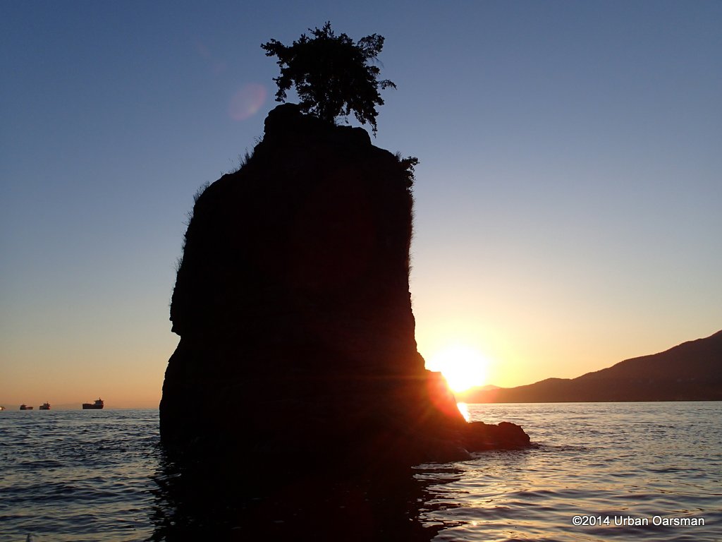 Horizon is a bit more level in this one.
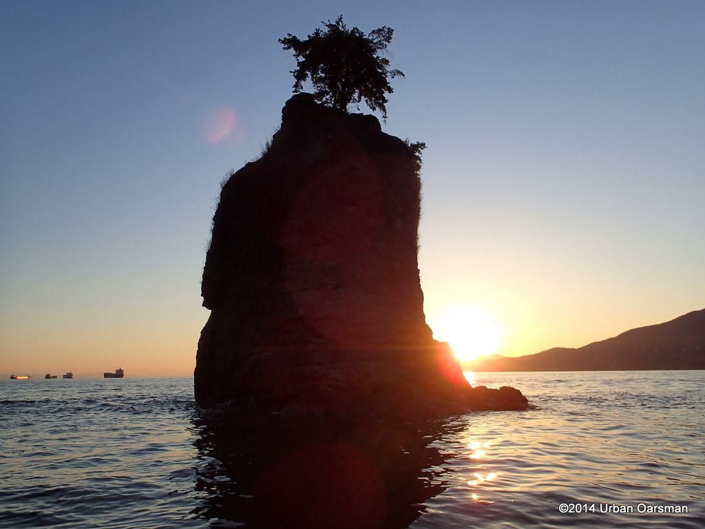 I float behind Siwash and take photos as the sun sets.
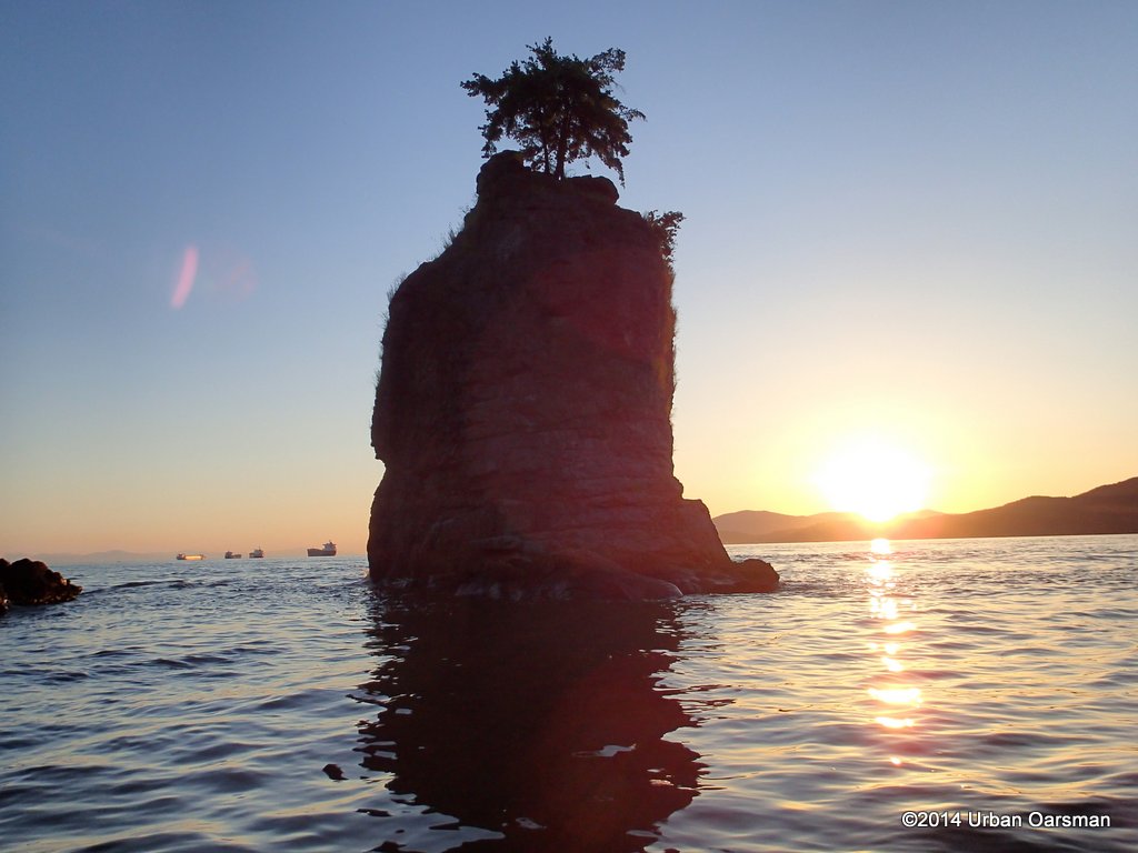 Trying to get Siwash’s shadow in the picture.
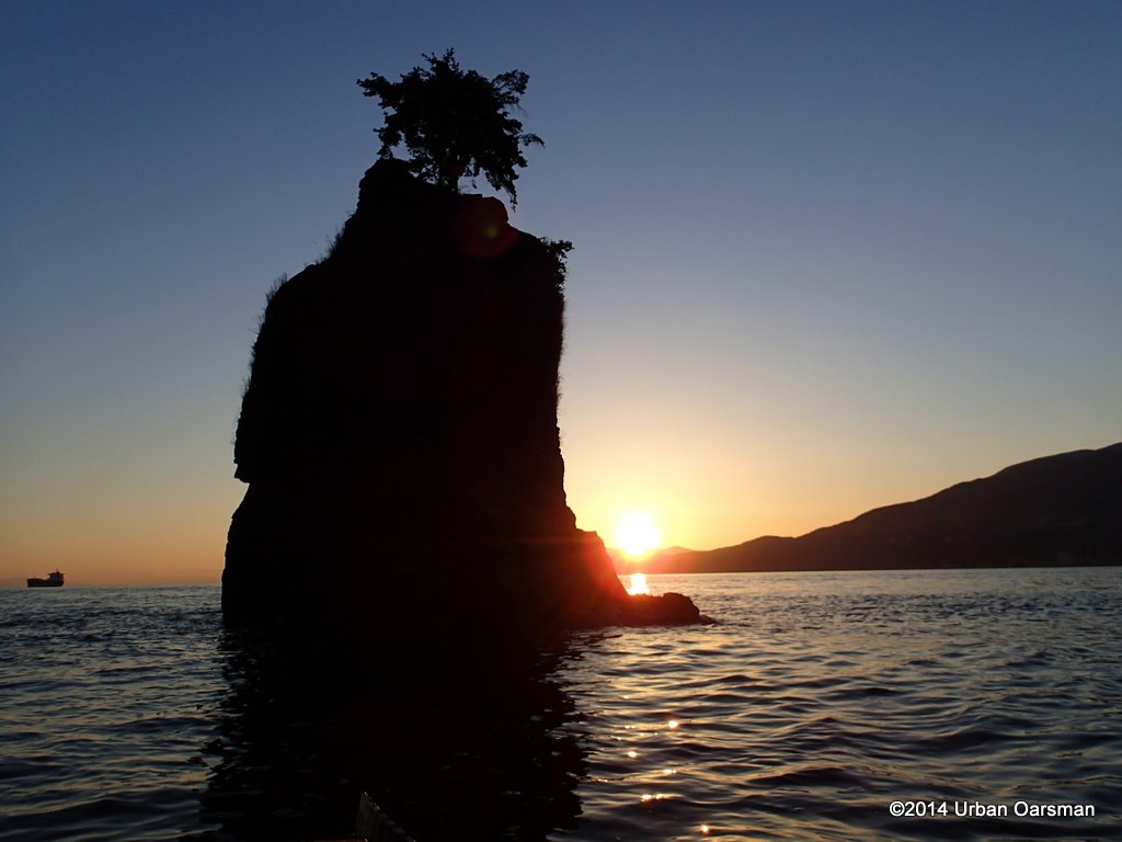 A good silhouette picture.
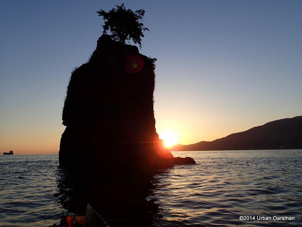 The sun is starting to hit the mountains.
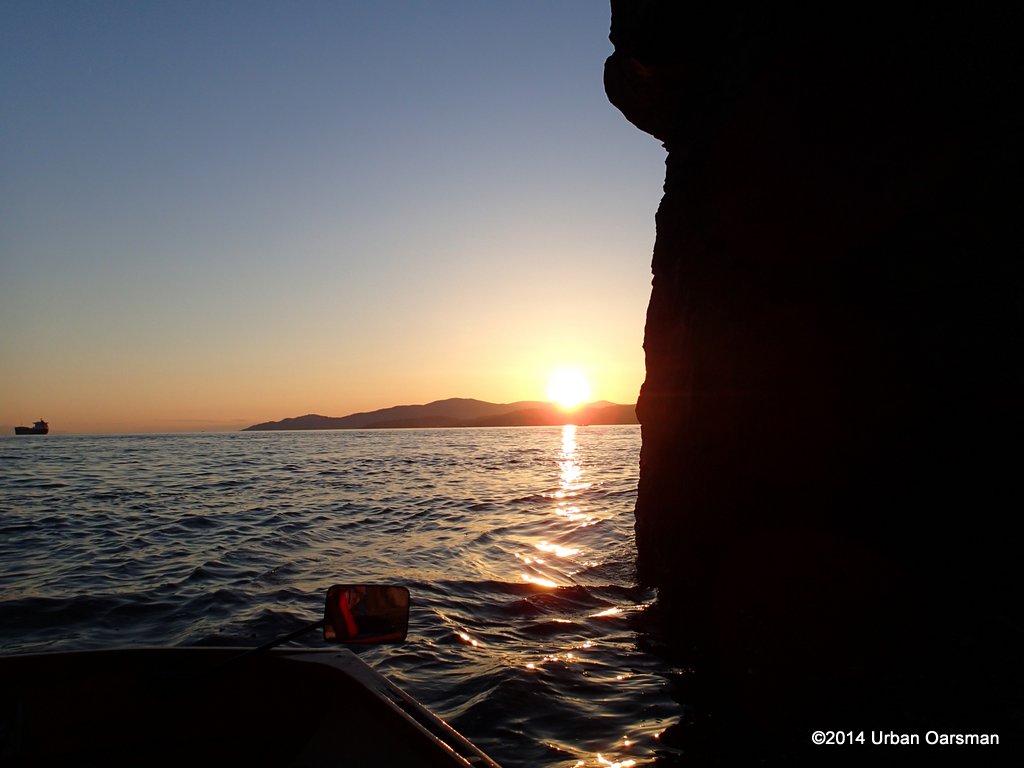 I row out, through the channel to get a different view.
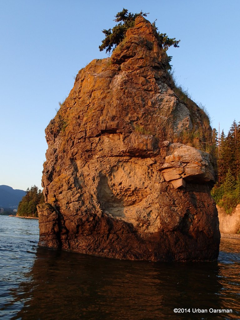 View from the seaward side.
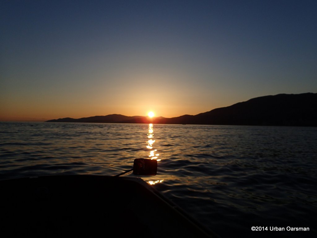 Sinking below Bowen Island, Lighthouse Park.
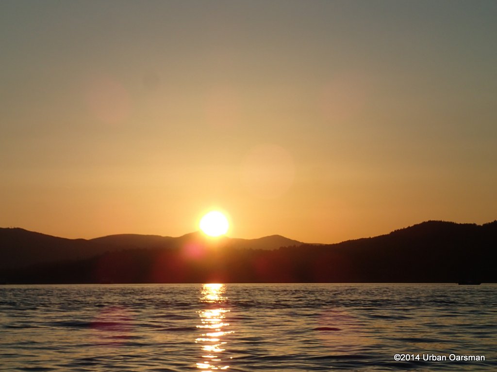 I zoom in. The big problem with using the zoom lens is that Gwragedd Annwn is not a stable photography platform. This is the best of many shots.
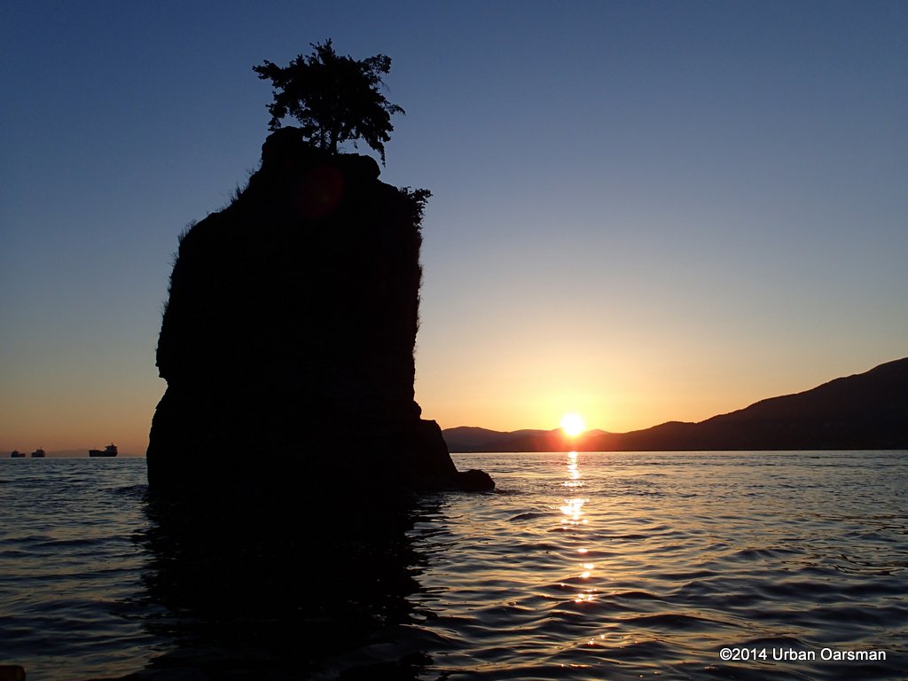 Back behind Siwash.
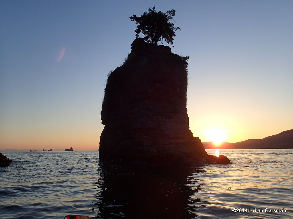 Kinda like that redish streak.
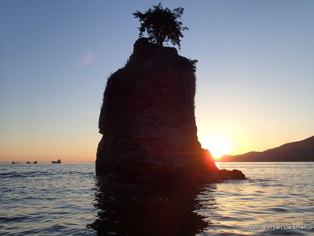 Try again without Gwragedd Annwn’s rowing mirror in frame.
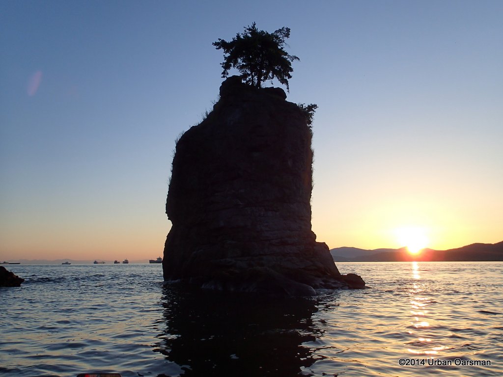 It is a lovely evening.
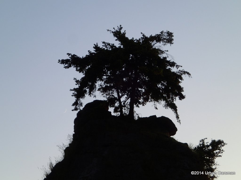 Close-up of the Douglas Firs with a crescent moon sliver to the left of the lowest branch.
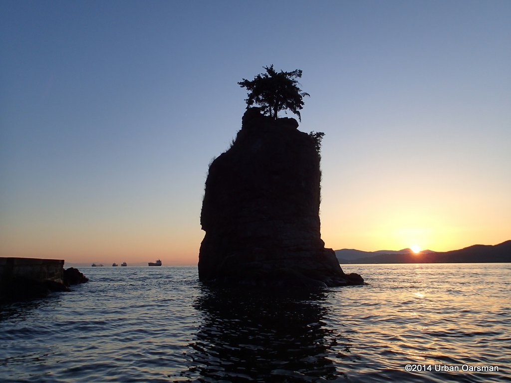 The sun is half way below the Bowen Island mountainline.
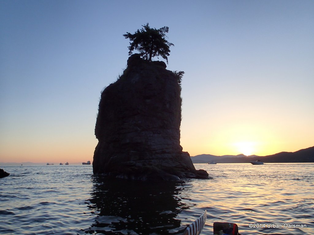 Just dissappearing behind the ridge.
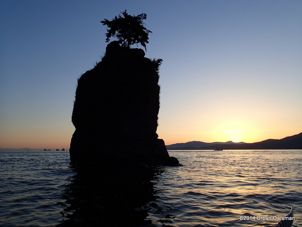 A bit of haze glows in the sunset.
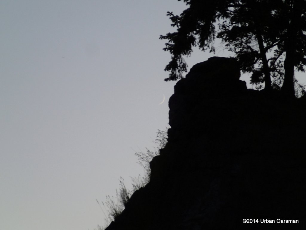 The crescent moon.
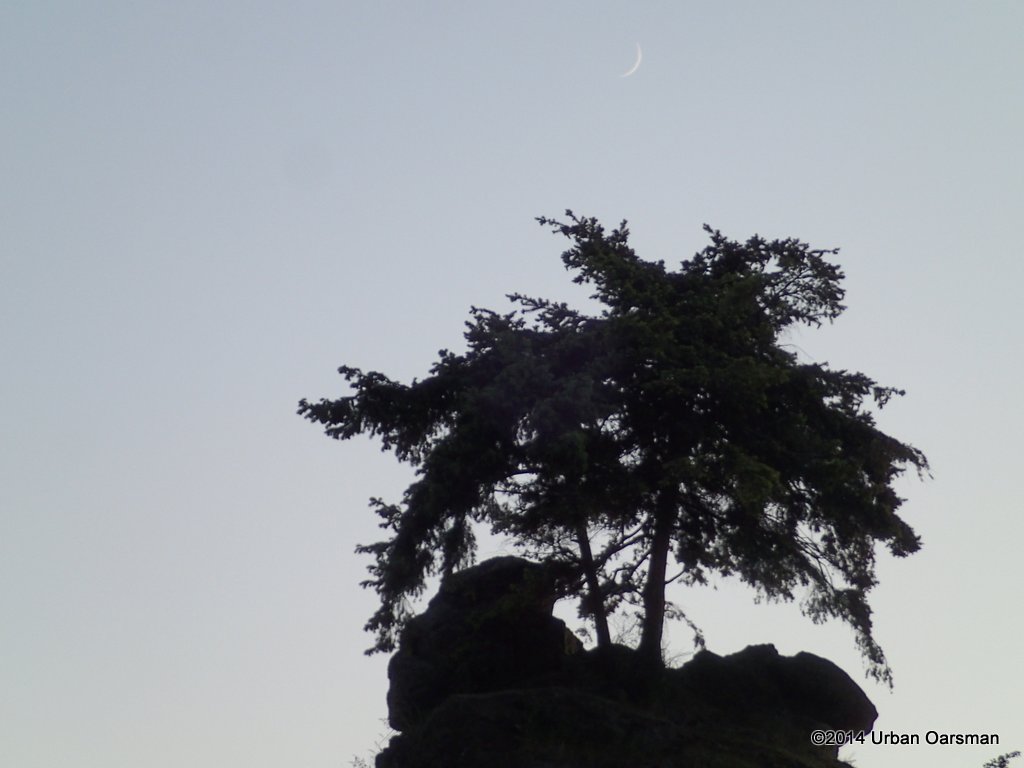 I row around to get the moon over the Douglas Firs.
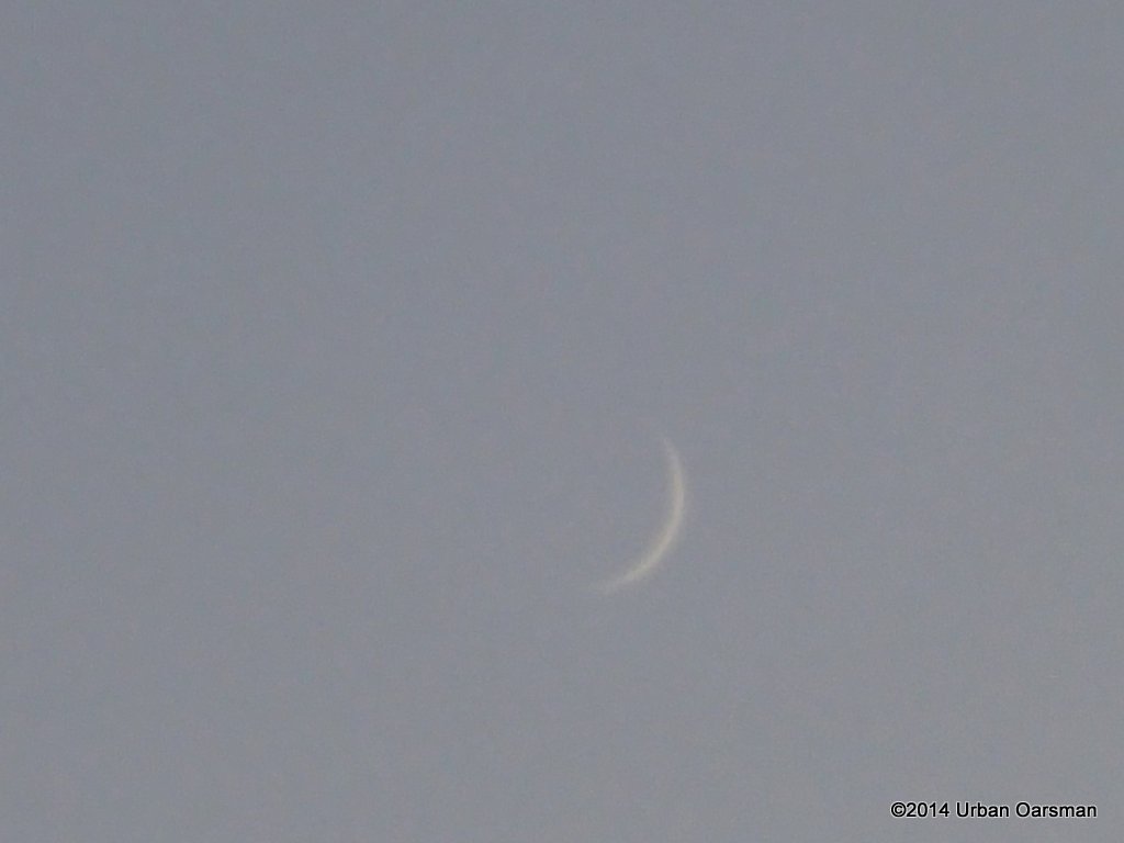 Close-up of the crescent moon.
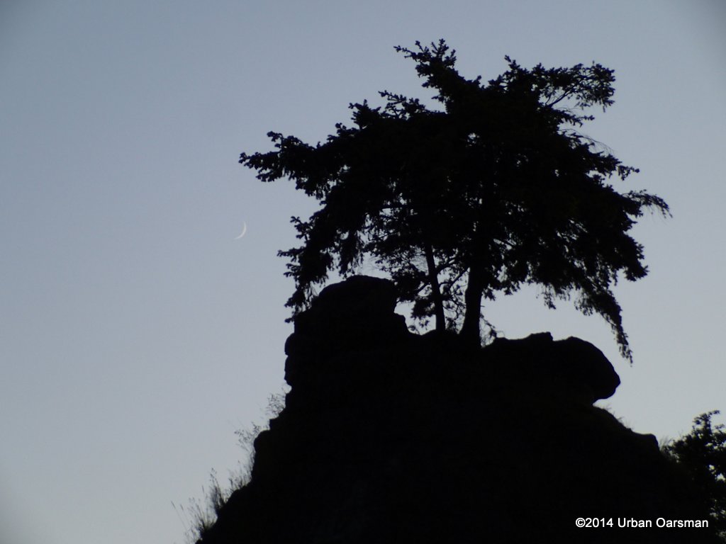 Moon to the south of the Douglas Firs.
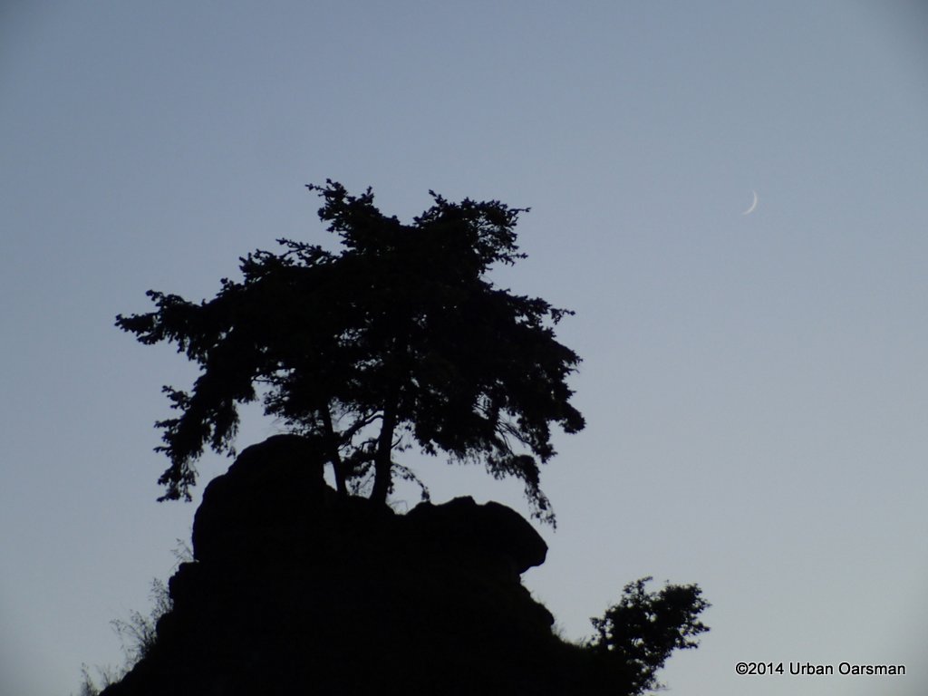 Moon to the North of the Douglas Firs.
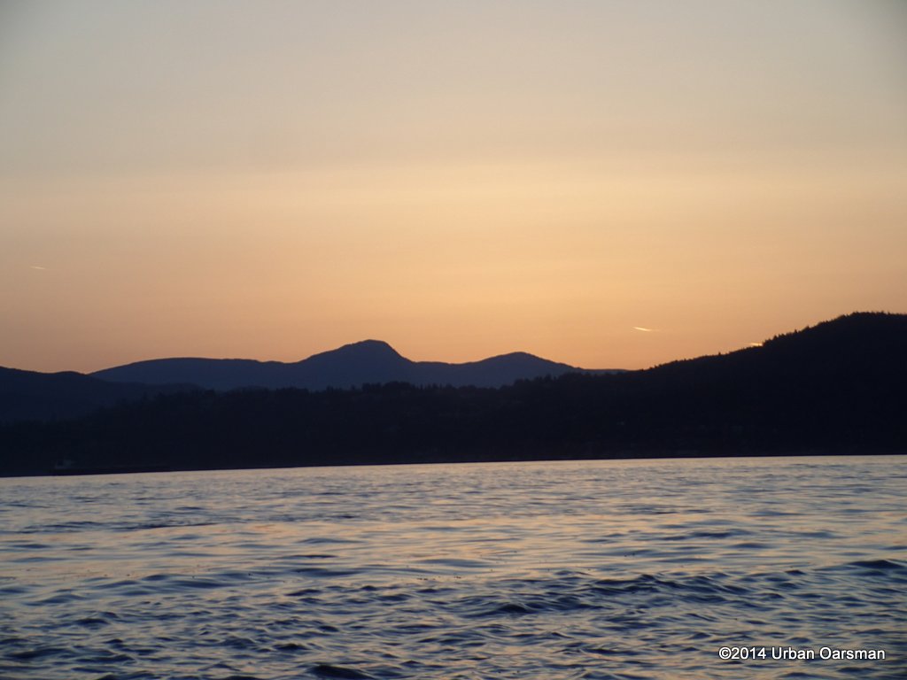 Sunset. A jet’s contrails glow. A little after 8:00pm and time to row home. The tidal flow through First Narrows has slowed and it will be an easy row across. I will be packed up and on my way home by twilight’s end.
 Siwash Rock Sunset. A good row.
Mike
 I row due South, away from the Ambleside launch ramp at 6:40pm.
  The incomming tide pushes me towards First Narrows and Stanley Park.
  About 20 minutes later, I arrive off Stanley Park. At low tide, this is a boulder beach, with several large eyebolts in the rock.
  I pass the ramp to the beach and row on to Siwash Rock.
 Except at the highest tides, it is always a good idea to stay 300 feet (100 meters) or more off the shore at Stanley Park. There are many rocks along the shore. Some quite far out.
 I row into the cove behind Siwash Rock and begin to take photos.
 A cyclist rides by.
 The signature trees. I understand that the original tree died in the exceptionly dry Summer of 1965 and these are replacement trees.
 I row around to get different photos of the sun behind Siwash.
 The sky is cloudless.
 The high tide channel between the rock and the shore.
 I circumnavigate the rock to take some photos from the outside.
 I have always wondered about the “eyespot”.
 Close-up of the “eyespot”.
 Very few people see Siwash Rock from this angle.
  Looking South-East at Siwash.
 The Ocean Seagull heads out of Burrard Inlet, going to one of the English Bay anchorages. That is Sentinal Hill behind the freighter.
 Other freighters sit in the middle of English Bay. The black streak is a cormorant flying by.
 Freighters on the North side anchorages, off Jericho beach.
 Ocean Seagull changes course and heads for an anchorage.
 A couple of Ocean Seagull Sunset shots:
 Her anchor is ready.
 She is a general cargo frieghter.
 I never do see her port of registry.
 Passing behind Siwash.
 Photo of her through the channel.
 I take some more photos of Siwash, trying to get a really good one.
 With the sun behind the rock, you can see some more of the East side.
 The three Douglas Fir trees, planted in 1968 still survive.
 Another Sunset photo. The arm of land in the background is Lighthouse Park in West Vancouver and the tall mountain to the right is Bowen Island.
 About an hour into the row and the view is wonderful.
 I am just drifting in Gwragedd Annwn and taking photos.
 I guess it would be helpful if I really knew what I was doing.
 There are a lot of people on the seawall.
 I am trying to get the trees more silhouetted.
 Horizon is a bit more level in this one.
 I float behind Siwash and take photos as the sun sets.
 Trying to get Siwash’s shadow in the picture.
 A good silhouette picture.
 The sun is starting to hit the mountains.
 I row out, through the channel to get a different view.
 View from the seaward side.
 Sinking below Bowen Island, Lighthouse Park.
 I zoom in. The big problem with using the zoom lens is that Gwragedd Annwn is not a stable photography platform. This is the best of many shots.
 Back behind Siwash.
 Kinda like that redish streak.
 Try again without Gwragedd Annwn’s rowing mirror in frame.
 It is a lovely evening.
 Close-up of the Douglas Firs with a crescent moon sliver to the left of the lowest branch.
 The sun is half way below the Bowen Island mountainline.
 Just dissappearing behind the ridge.
 A bit of haze glows in the sunset.
 The crescent moon.
 I row around to get the moon over the Douglas Firs.
 Close-up of the crescent moon.
 Moon to the south of the Douglas Firs.
 Moon to the North of the Douglas Firs.


