The Urban Oarsman rows Gwragedd Annwn off the chart exploring the Alouette.

 The July 22nd, 2014 Row. The Alouette. 

The Urban Oarsman Explores the Alouette River
The Urban Oarsman Rows  the Alouette River.

I have rowed Widgeon Creek, circumnavigated Siwash Island and voyaged from Grant Narrows to Maquabeak Park boat launch.  It is time to Explore the Alouette.

GPS Track of the Alouette River Row.

The Alouette River has several branches, The Alouette River, the North Alouette River, Blaney Creek and McKenzie Creek. On this row, I am going up the Alouette as far as I can get.  I have a late start and a five hour window for this row.

Gwragedd Annwn at the Pitt Meadows Marina float.

I launch Gwragedd Annwn at the Pitt Meadows Marina.  $17.00 for the launch and parking.


The Pitt Meadows Marina floating office

 I begin to row up the Alouette.


Rowing up the Alouette, to the west Coquitlam being passed by Geese.

I start up the Alouette.  On the north side of the river is a floathome with stained glass windows.


Red boat sunk at dock

In researching this trip, I had seen pictures of this sunken/awash hull.  She does not seem to have a name or registration number.


Looking down river.
Looking down river.

Past the Pitt Meadows Marina, most of the boats/boat houses are on the North bank where there is a power line.


Up river towards the Harris Road Bridge.

I continue up river.  I have to watch out for snags in the water.


Another hull awash.

It looks as if this boat is being stripped.  She, too, has no name.


Electric Davidson "Chugger".

This is a cute boat.  She is an electric Davidson “Chugger”.  She gets over five hours of silent running time at 5 knots.


Sunken ship.

 On the South side of the channel there is a sunken boat.  The drop in river level is evident on her cabin top.


Pitt Meadows Paddling Club.

I row past the Pitt Meadows Paddling Club.  It is just before the Harris Road Bridge.  Their website is: http://www.pmpc.ca

There is quite a collection of paddling craft on site.


Harris Road Bridge, looking North.

I row under the bridge.


Indian Pond Lilly.

The Audubon Society Field Guide to north American Wildflowers (Western Region) comments:  The seeds of this species were ground by Indians for flour and roasted as Popcorn.  When the mud in which the stems grow loses oxygen, a small amount of alcohol instead of carbon dioxide is produced by this and some other aquatic plants, including rice.


Dark Lestes?

A Damselfly hitches a ride up river.


Water lilies on the shore.

I saw numerous Blue Herons on the trip.


Good thing that I am rowing.

Where the North Alouette (left) and the Alouette (right) meet.


Pump station and River Gauge.

I row a few strokes up the North Alouette to look at the Pump Station and The River level gauge.


West view.

Looking North West, down the Alouette, where I have come from.  The white speck is a kayaker heading up river.


Dead Tree on un-named Island.

Just past the junction of the Alouette and the North Alouette River, there is an Island in the middle of the Alouette.  I pick the North (larger) channel.  The Island is anchored by a large dead tree.  Dead Tree Island?


Looking North.

Looking back at what I have named Dead Tree Island that I have rowed past.  It is to the right, with the dead tree on it.


Continuing up river.

 I continue on up river.  I do not see much “civilization” as I row.


Neaves Road Bridge.

I am half way through my rowing window.  Almost time to turn back.  I think that I am good to row on a little further.  I want to row off of the chart.  The chart ends at the Neaves Road Bridge.

Sadly, none of my pictures of the hand-held GPS chart worked out.


Beyond (off) the chart.

The chart I have rowed off is #3062, Pitt River and/et Pitt Lake.

The Neves Road Bridge downriver to the west.


Looking upriver at uncharted waters.

My rowing window is closing…Time to turn back.


Neaves Road Bridge supports.

The supports for the bridges show previous water levels in the river.  The level has dropped and is still dropping.


Measuring the river level.

The pilings show that the water level is as much as 1.3 meters or 51 inches higher in the recent past.  I guess the trick is to know when the water level is highest.


Rafting down river.

As I row back past the Neaves Road Bridge, I see an inflatable raft coming downstream.  There must be a place to launch from up river.


A row of trees on the South bank.

This row of trees on the South bank is downstream of the Neaves Road Bridge.


A kayaker heads downstream too.

A kayak does have an advantage over Gwragedd Annwn…less draft.


The little excavator putting a new bucket on the big excavator.

A crew working on the south dike near the pump station.


Cranberry Slough (?) pump station

Many routes are blocked by these pump stations.  I need a lighter boat to portage around them.


Indian Pond  Lily

There are thousand of these flowers along the river banks.


Birds on Dead Tree Island.

A favourite resting spot.


Take off.

Returning. I am rowing down the southern channel .


Remains of pilings where the Alouette Meets the North Alouette.

There must have been some sort of dock here long ago.  I do not know what these pilings were for.  Shipping local produce or lumber out?


The sunken piling forest.

In this section of the river, you have to be very careful as there are many pilings just below the surface of the water.  I collided with a few of them.


River weed.

The weeds in the river show a slight downriver current.


Blue Heron fishing.

Another Blue Heron on the river bank.


Paddleboarders.

A pair of paddleboarders head upstream.


Harris Road Bridge.

The Harris Road Bridge.  There is a “Hand-carried” boat access here.  It is between the left and centre pillars, just to the right of the left pillar in this picture.  It leads down from a parking lot on the South East side of Harris Road and The Alouette.


A little rain.

I guess that into every row a little rain must fall….


Abandoned boat.

A bow view of the white abandoned boat…I have seen a photo of this boat still afloat in June of 2012.


Side view of the abandoned boat.

The water level has dropped since I row past her heading upstream.


Red abandoned boat.


I row back past the red abandoned boat.  It looks like her back is broken.


Electric Chugger "Watt's Up?'

Her life ring has been taken away to get her name painted on it.  Note the power line to the dock.


Water control gates.

I decide that every time I row past these flood control gates I will take a picture so I can judge the water level.


Gwragedd Annwn back at the dock.

I walk back to the parking lot to get my FJ and trailer.


My FJ in the parking lot.


It is a short walk to the parking lot.  There are only a few boats out today.


Gwragedd Annwn awaits pick-up.

Gwragedd Annwn looking good at the dock.


Ready to go home.

All loaded up and ready to go.  I will come back again with more time to row and explore past the Neaves Road Bridge.


Trip length: 13.75 kilometers, 5 hours 15 minutes at the thwart.

I rowed The Alouette and explored her five times.  Here is a graph of the water levels at the Alouette River Gauge for the rows:

Alouette River Levels at the gauge.

If you want to know the approximate river for your trip, go tohttp://www.pittmeadows.bc.ca/riverlevelsapp/RiverLevels?

The assumption is that the level will not vary too much from day to day.  Check the level the day before your trip and then add an hour to the levels and you will be in the “ball-park” range for the water level.  There are not truly accurate tables for the river level.  This is only an estimate.


Happy Rowing,


Mike

Mike, the Urban Oarsman.

Posted in Under the Keel.... | Tagged , , , , , , , , , , , , , , , , , | 4 Comments

Baking in the Summer Sun, The Pitt River Row.

Baking in the Summer Sun, The Pitt River Row.

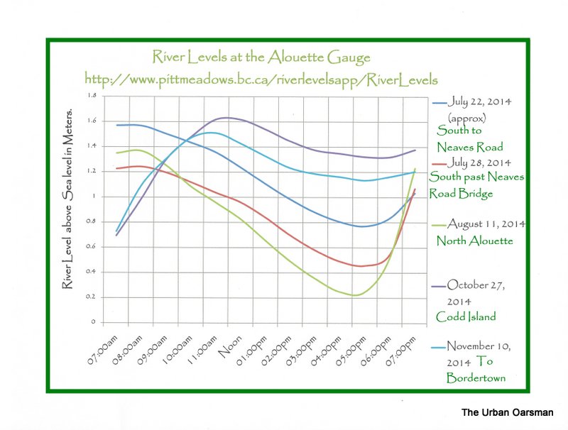
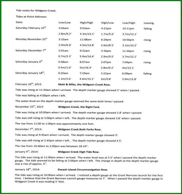
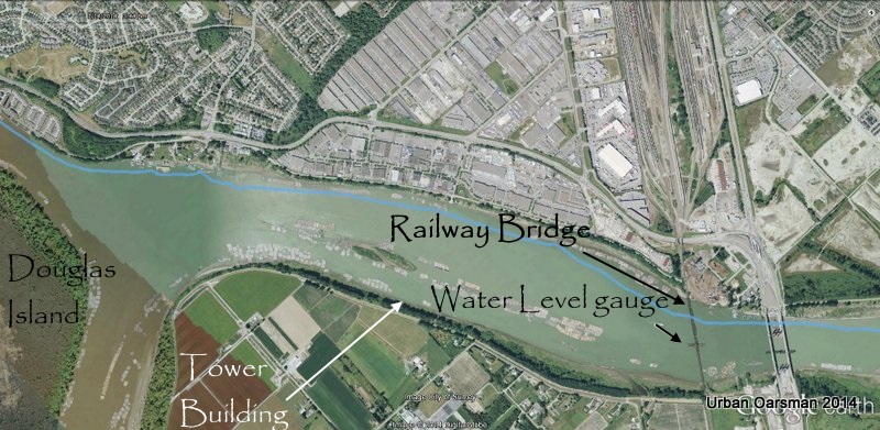
The Pitt River Row.  The tide at New Westminister is going to be high at 6:36am at 3.0 meters or 9.8 feet.  The low tide is at 2:47pm, at 1.0 meters or 3.3 feet.  The Pitt River water level gauge is near Port Coquitlam BC, located at Latitude:49° 14′ 40” N,  Longitude:122° 44′ 00” W, near the Railroad Bridge.  Here is a graph of the water level at the gauge for July 14th, 2014:Pitt River Water Level graph

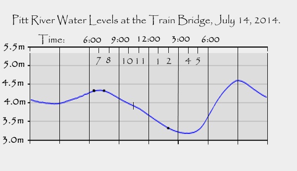
The “Low-high” water was at approximately 7am, PST.  The “Low-low” water is around 4pm PST.  Widgeon Creek is about two and a half hours behind the gauge.  I am expecting high water around 9:30 am PST (10:30 local or daylight savings time), with the water level falling until 4 or 5pm.  The link to the river level site is:   http://www.wateroffice.ec.gc.ca/index_e.html .

The New Westminster tides are:

2014-07-14  Monday

Time             Height
PST           (m)      (ft)
01:54         2.1        6.9
06:36        3.0       9.8
14:47         1.0        3.3
20:38        3.1      10.2


The Rowing Plan:

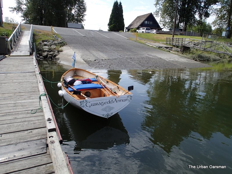
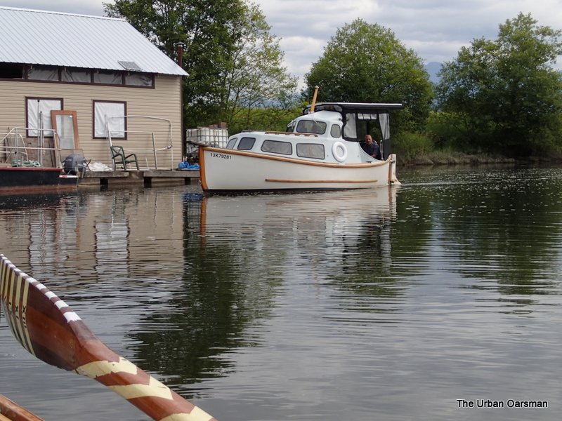
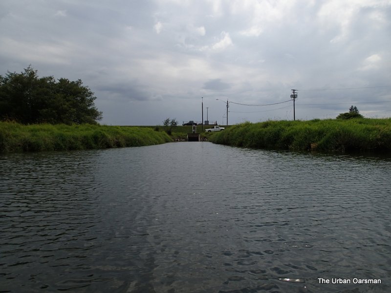
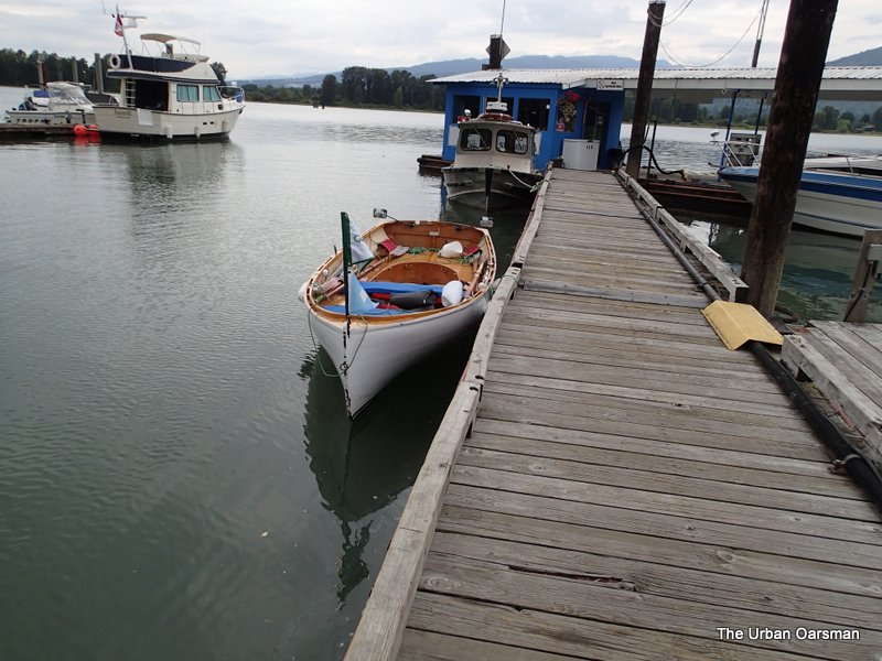
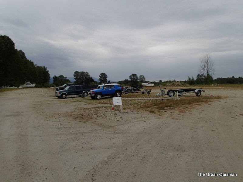
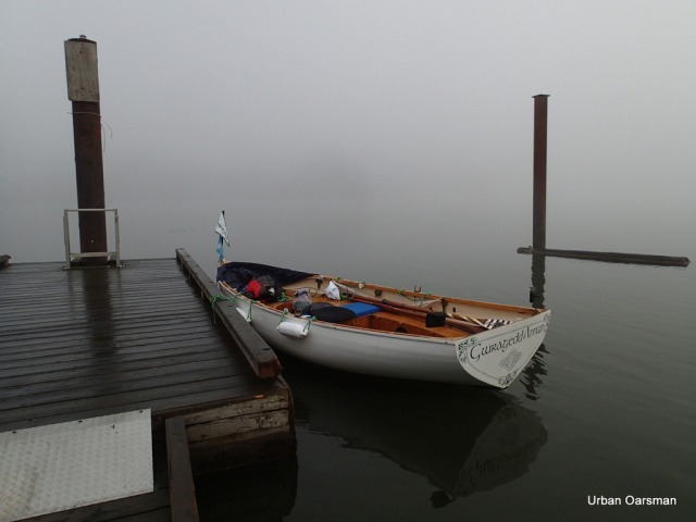
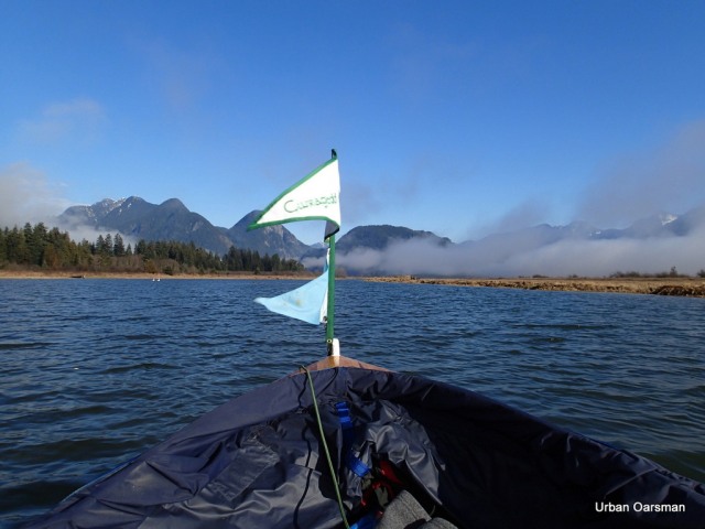
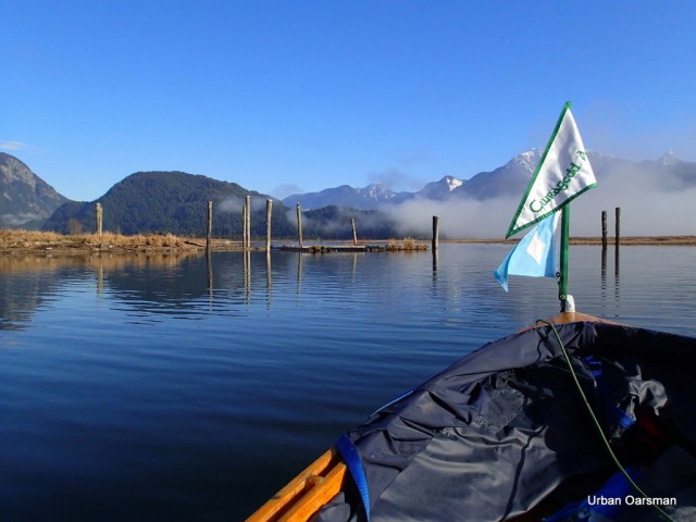
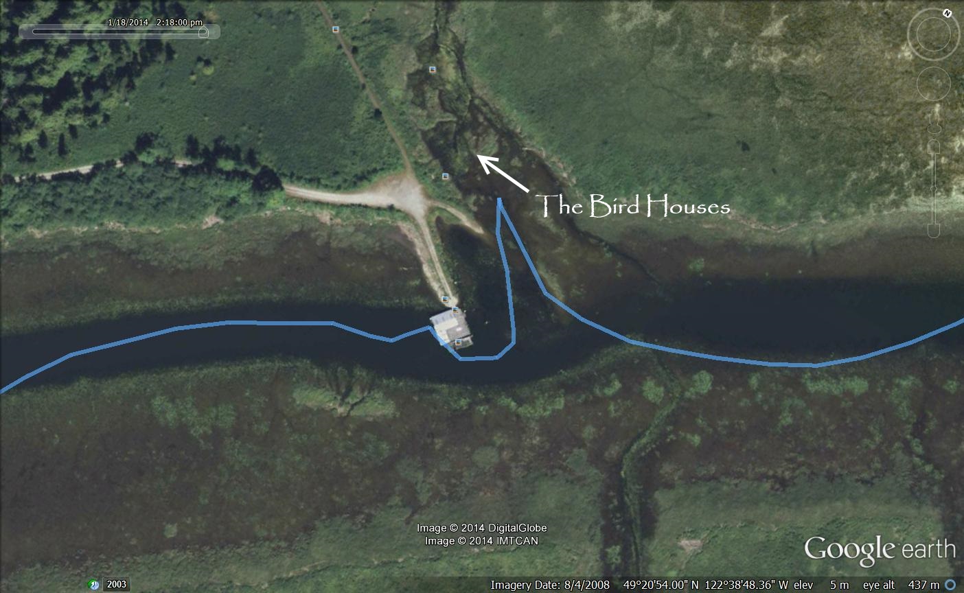
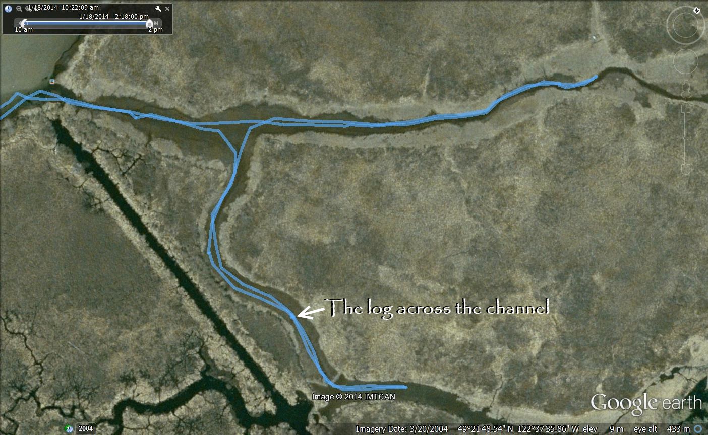
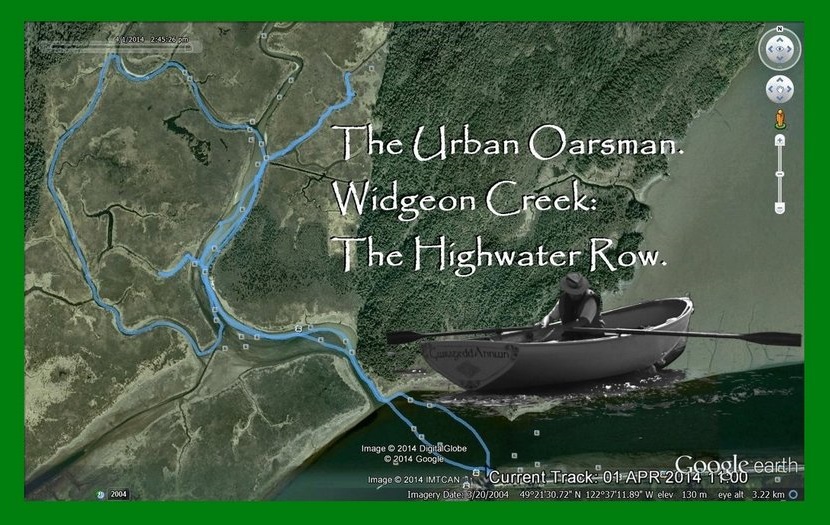
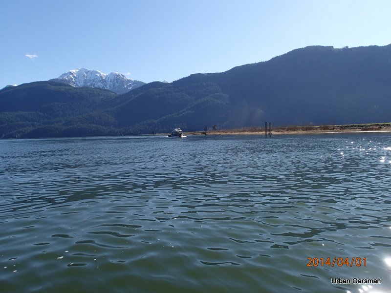
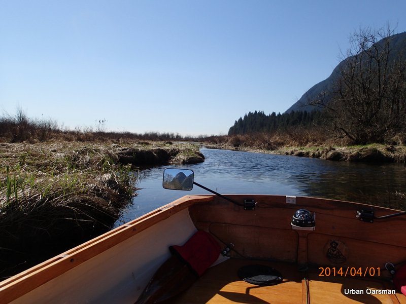
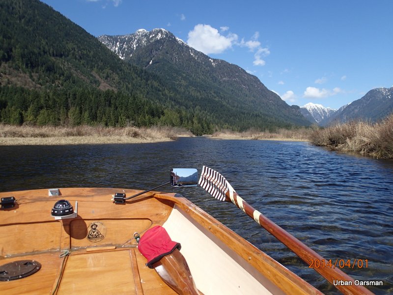
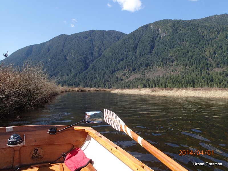
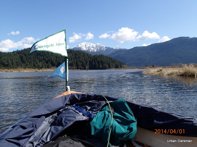
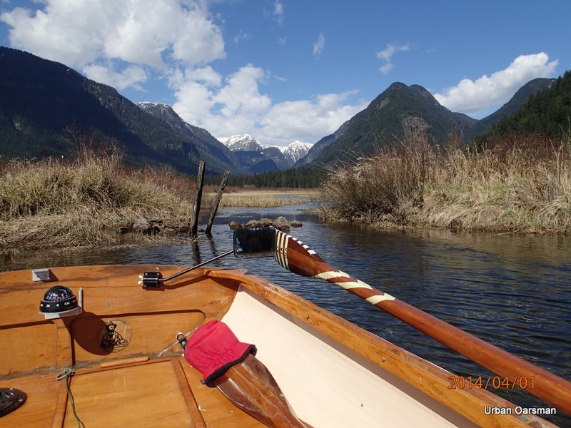
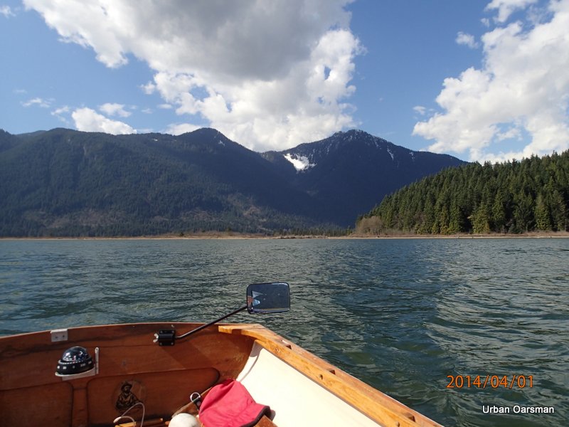
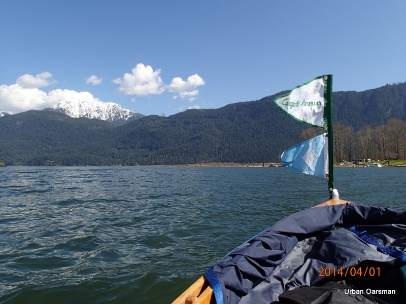
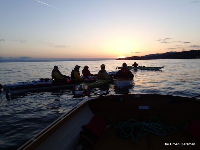
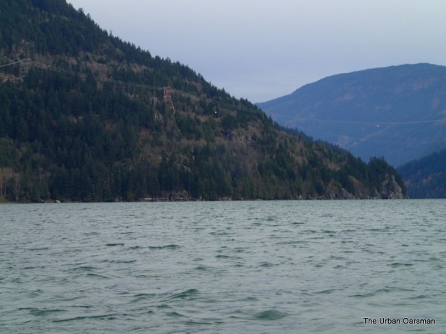
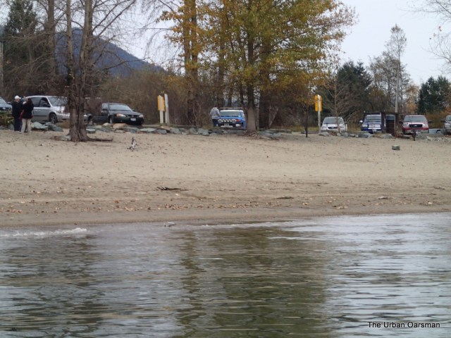
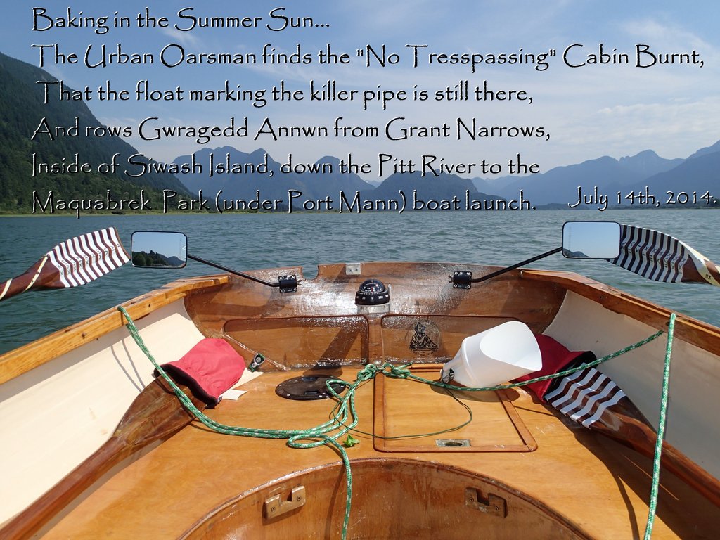
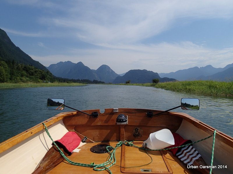
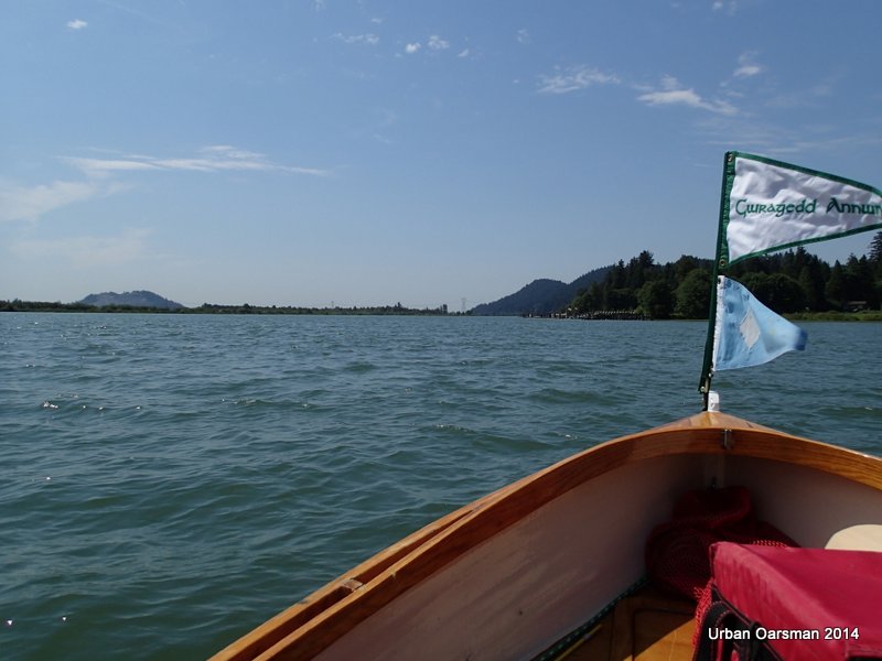
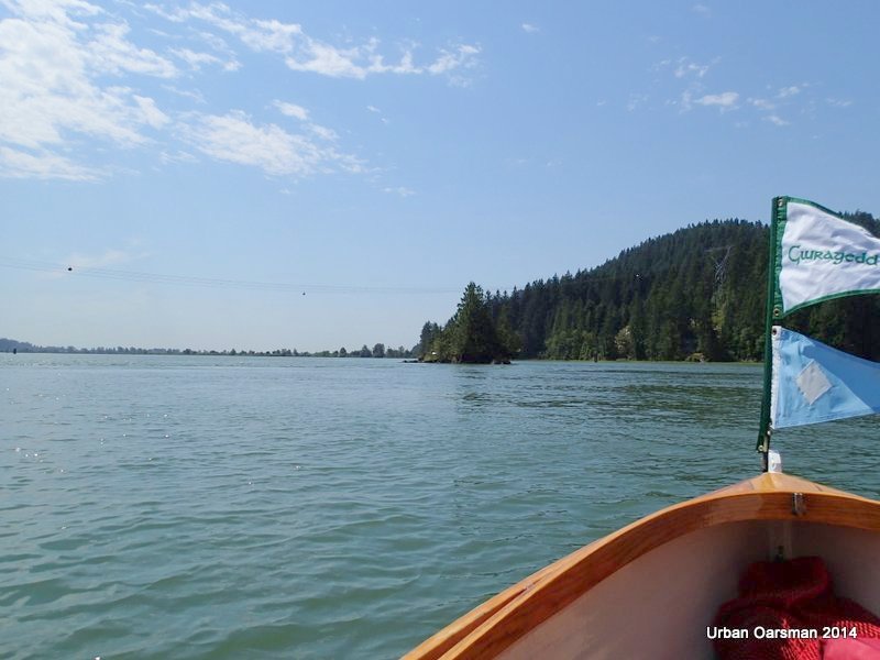
Gwragedd Annwn and I are being dropped off at the Grant Narrows Boat launch.  My son will pick me up at the end of the row.  I will row across Grant Narrows to Widgeon Creek to check the depth gauge in front of the “No-trespassing” cabin, then over to see if the float I put on to mark the pipe that I had run into is still there.  I will then row down Widgeon Slough, (the channel between Siwash Island and the west bank), re-enter the Pitt and row down to the boat launch under the Port Mann Bridge for pick-up.


Baking in the Summer Sun, The Pitt River Row.

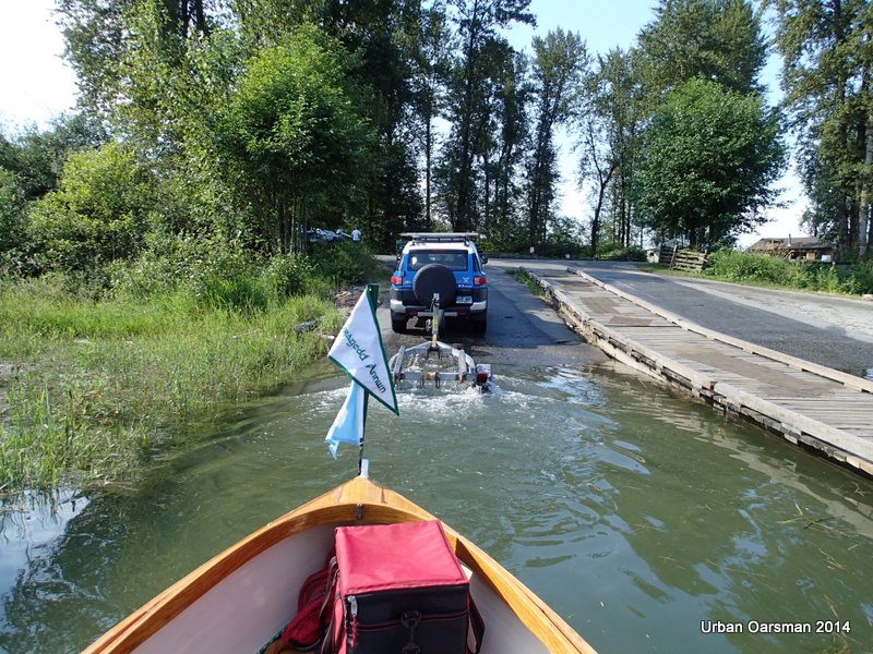
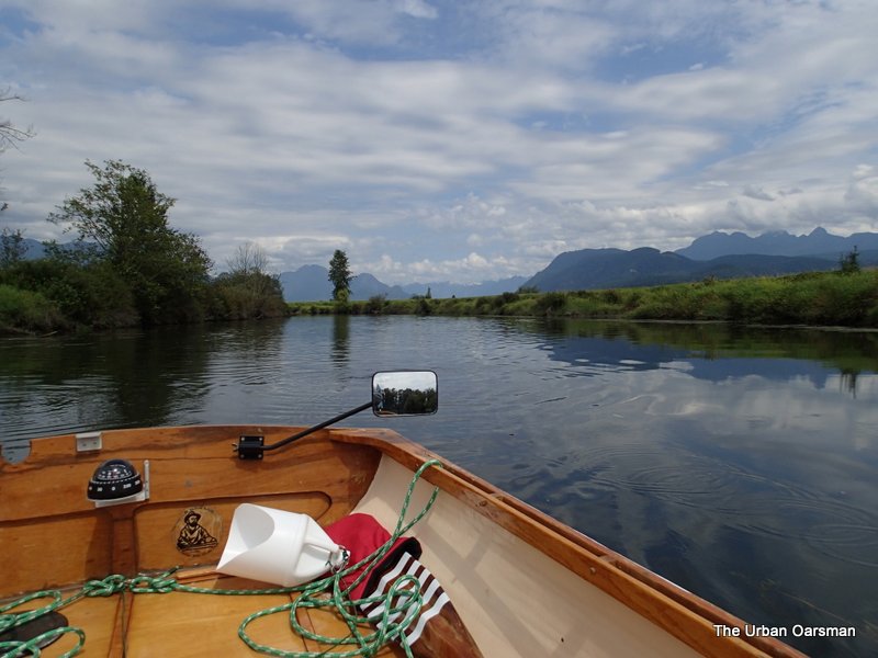
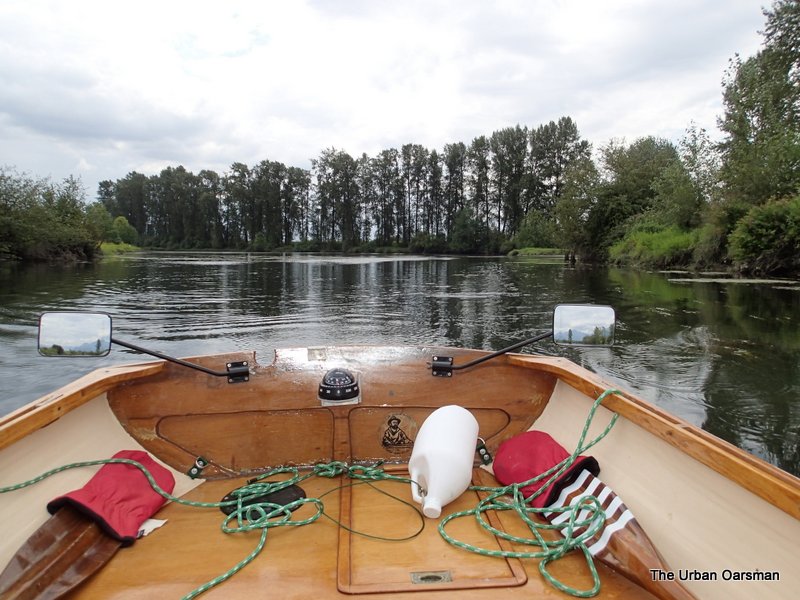
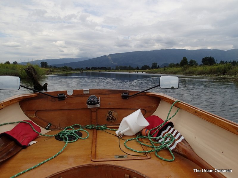
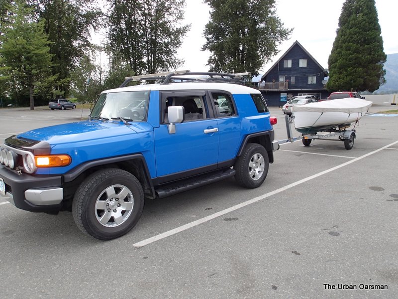
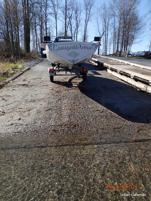
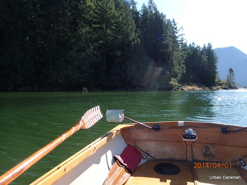
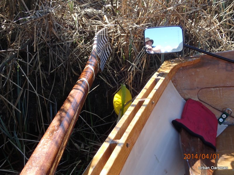
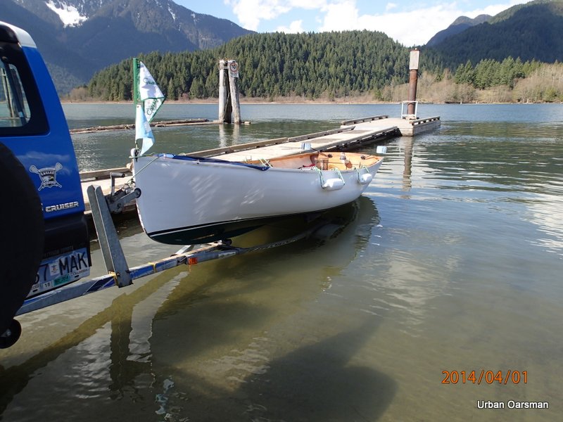
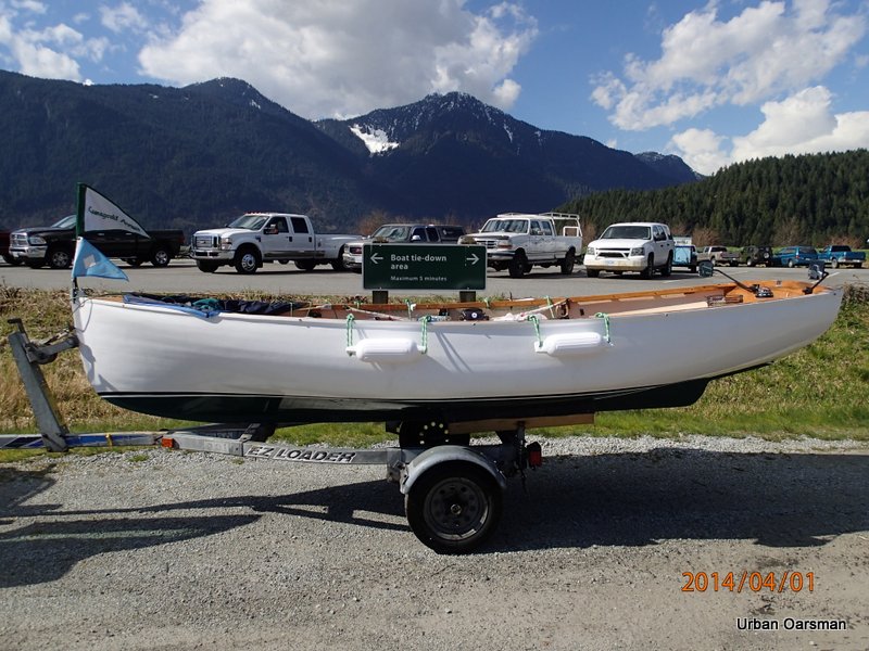
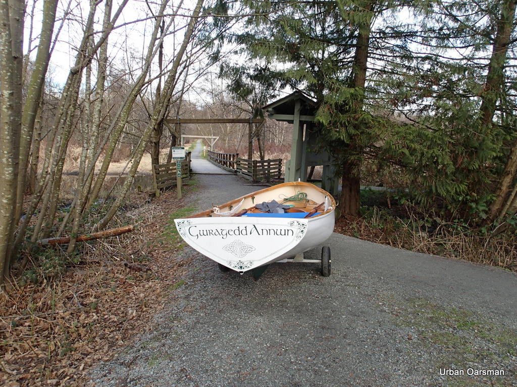
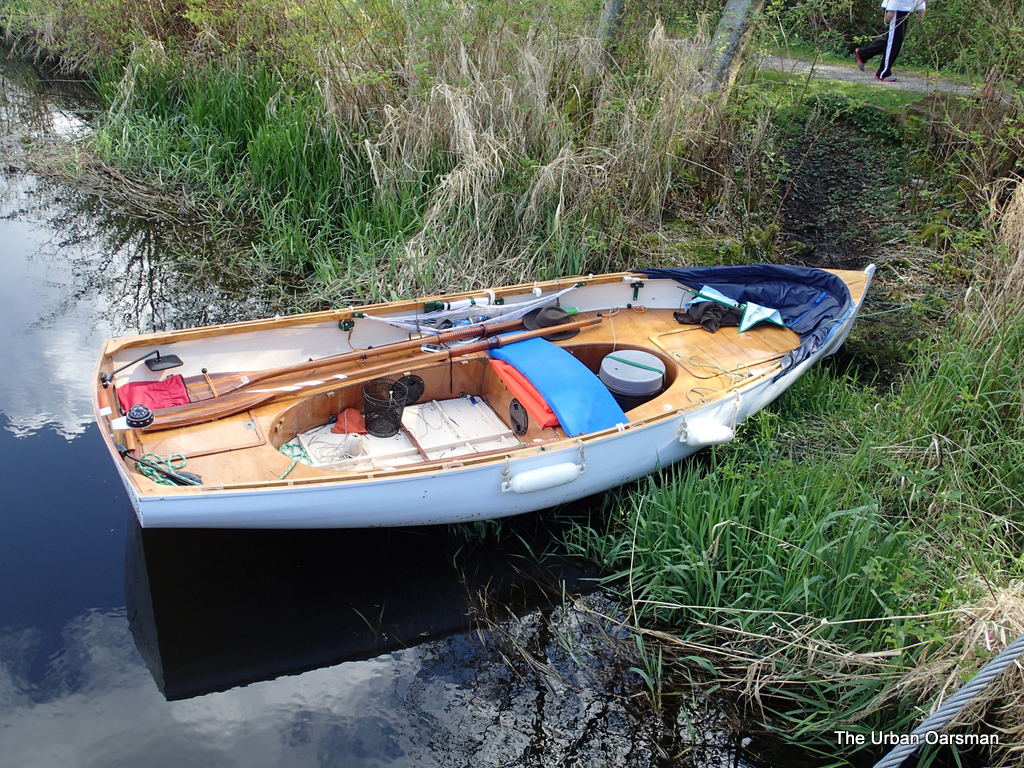
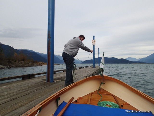
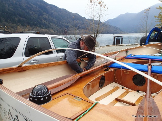
Launching Gwragedd Annwn.  Paul is driving away and will pick me up at the end of the Row. I will phone him and tell him where and when to pick me up.

Baking in the Summer Sun, The Pitt River Row.

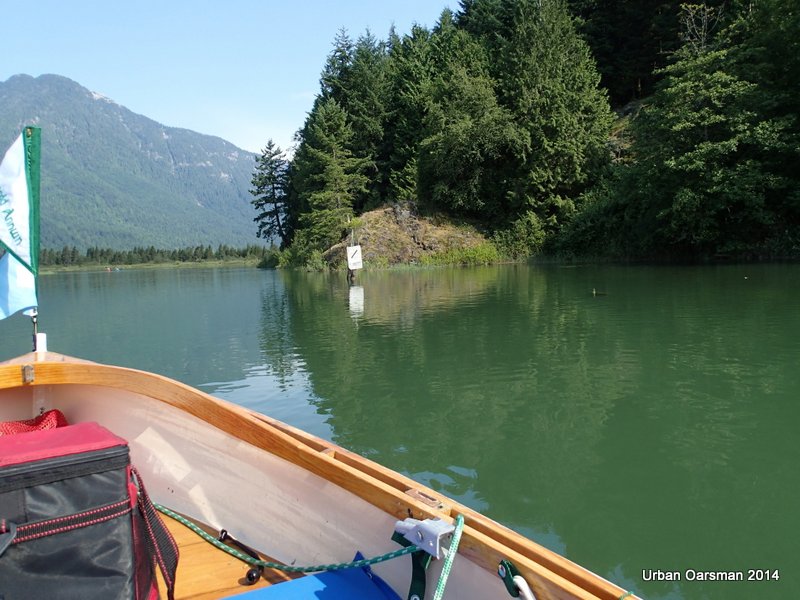
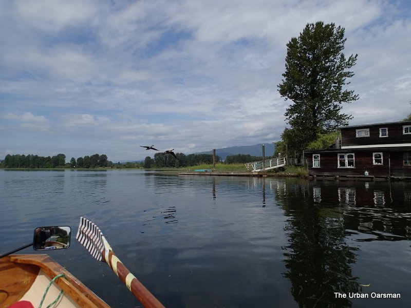
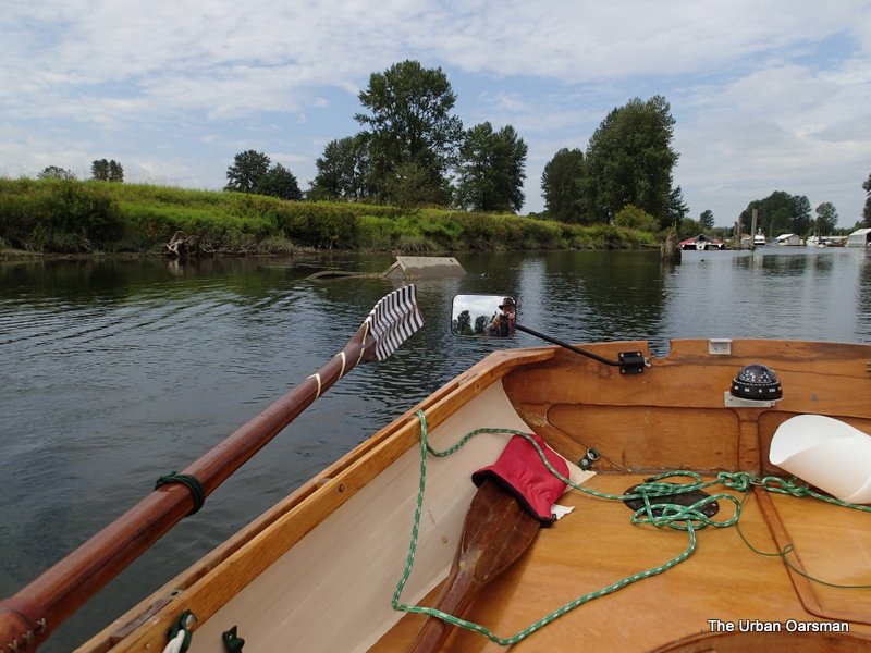
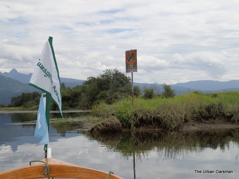
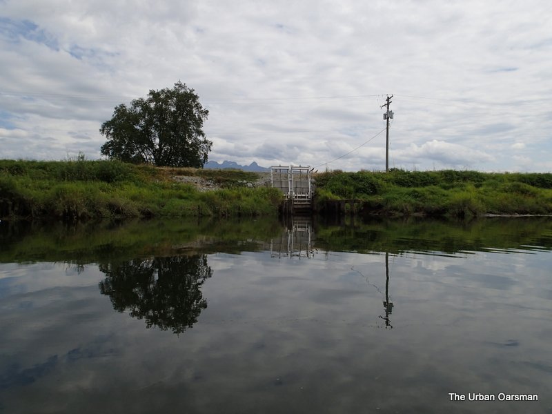
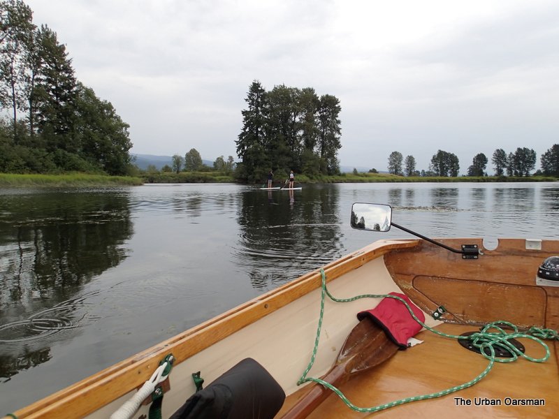
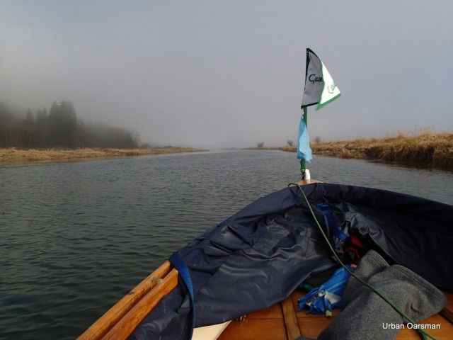
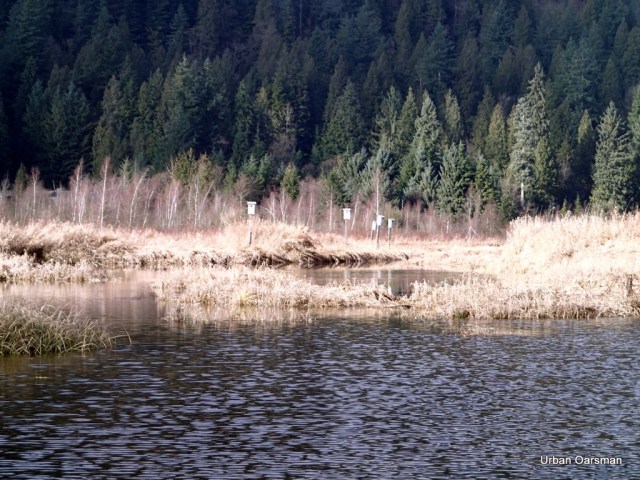
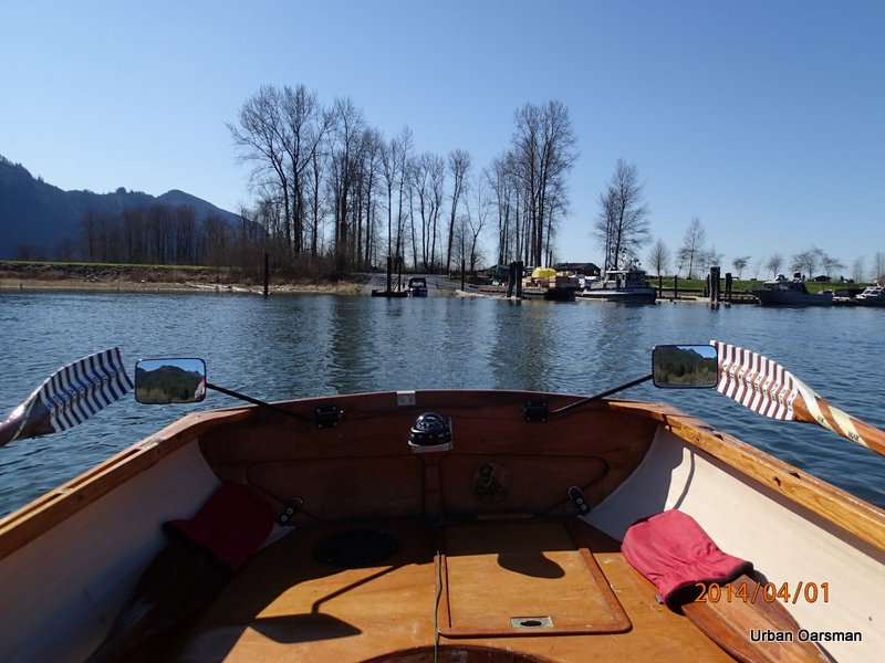
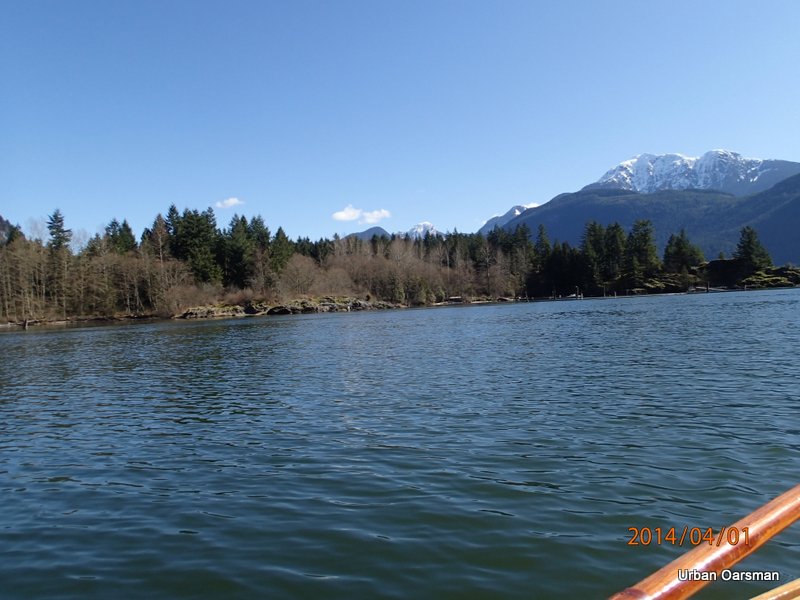
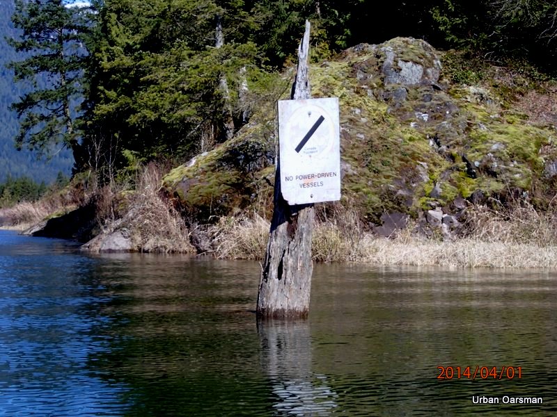
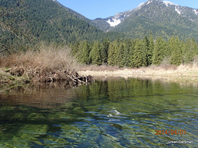
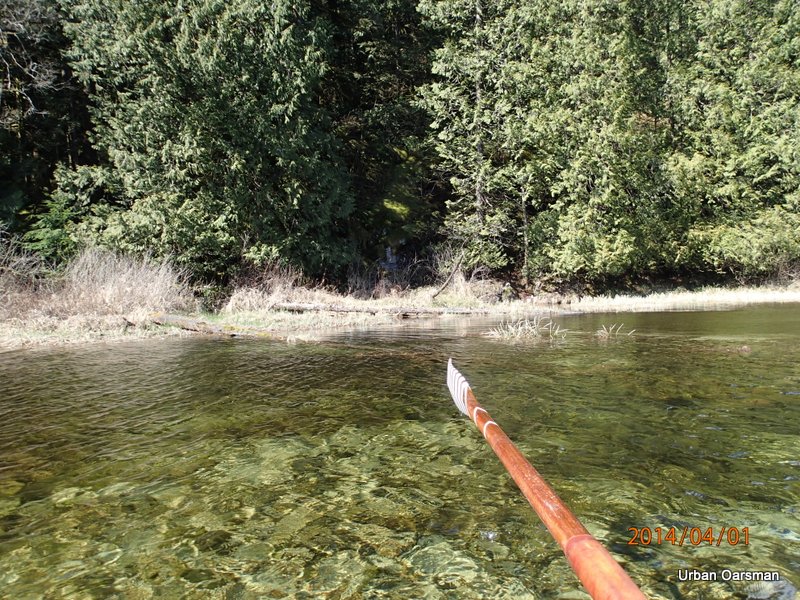
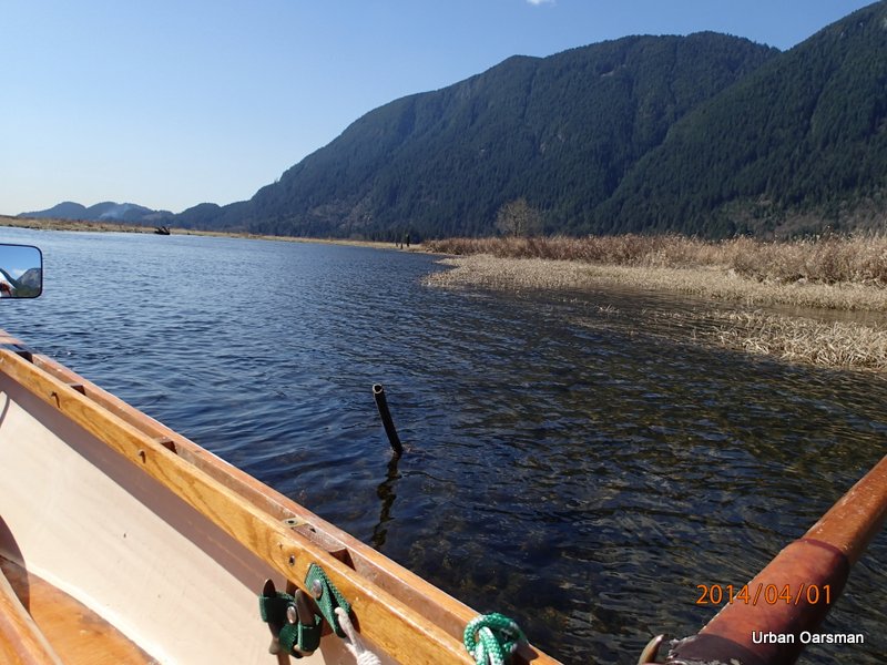
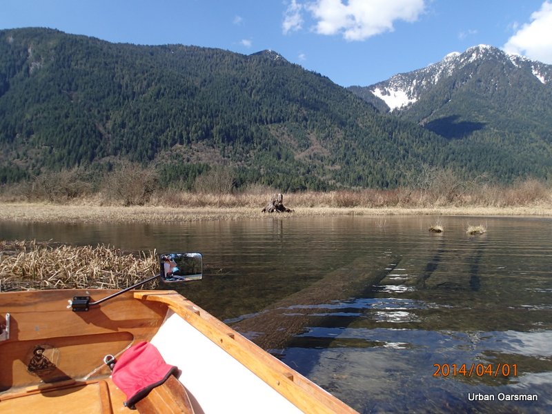
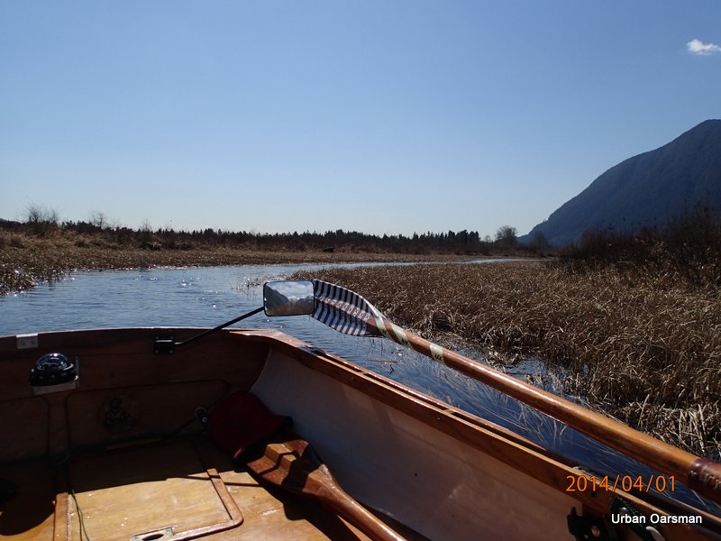
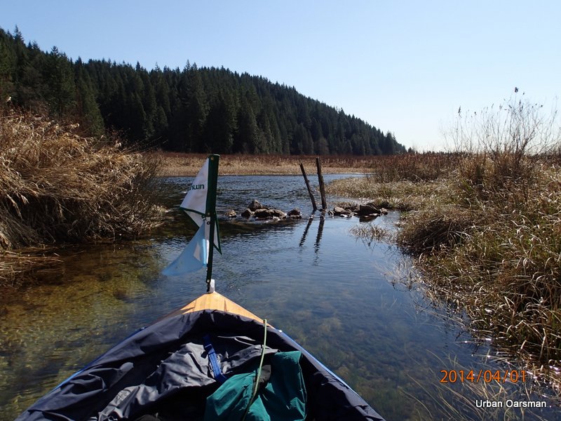
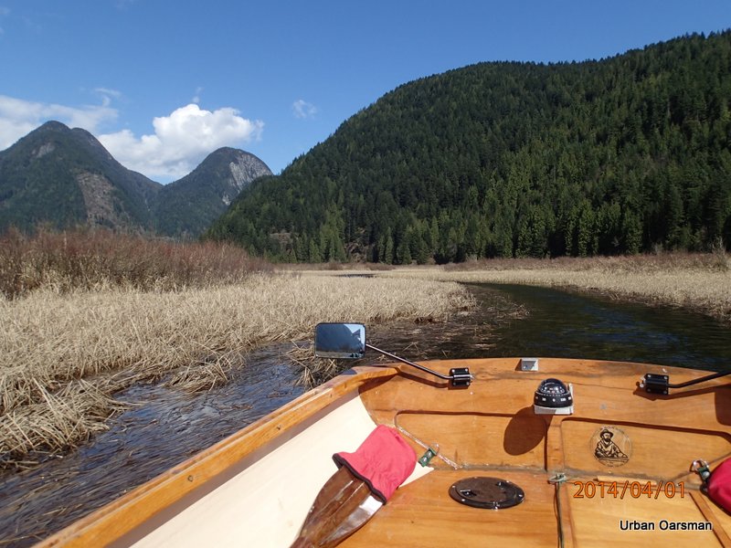
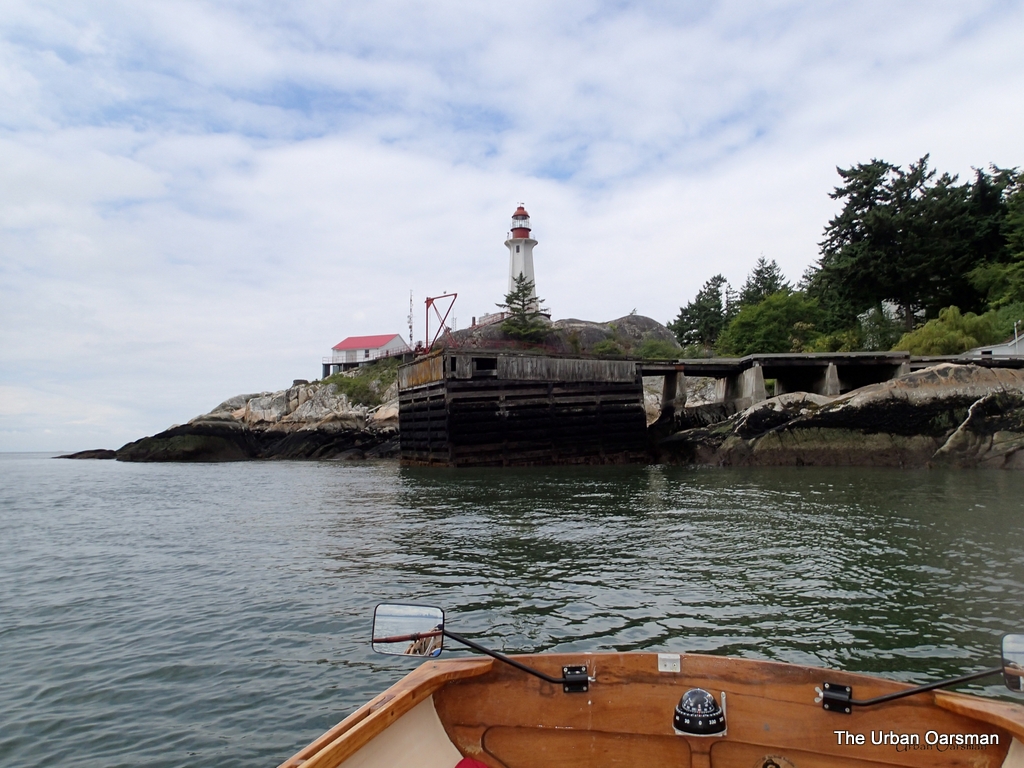
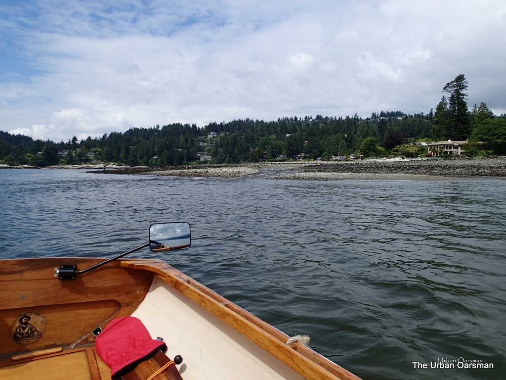
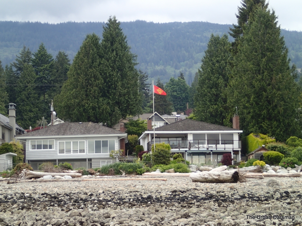
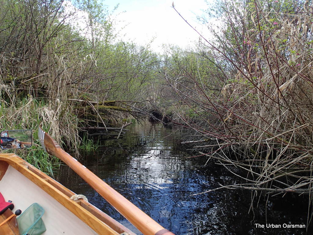
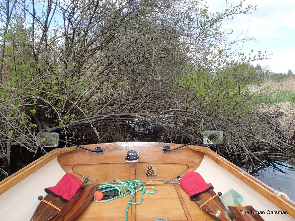
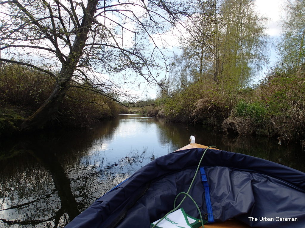
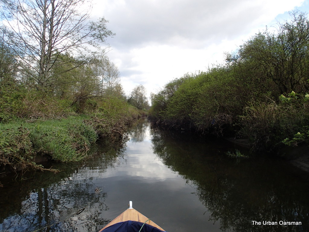
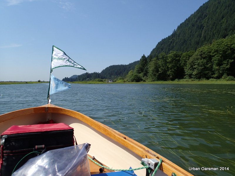
Entering Widgeon Creek Estuary.  The “No power boats” sign.  There is almost no wind and the water is flat, flat, flat.

Baking in the Summer Sun, The Pitt River Row.

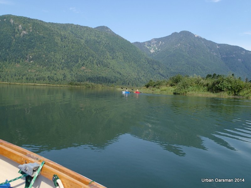
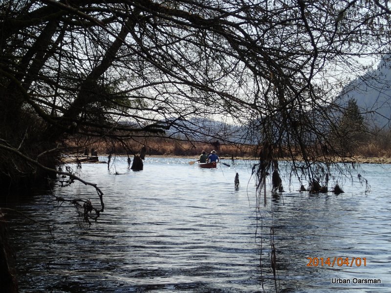
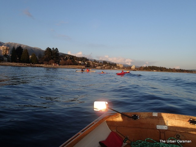
Two kayaks are ahead of me.

Baking in the Summer Sun, The Pitt River Row.

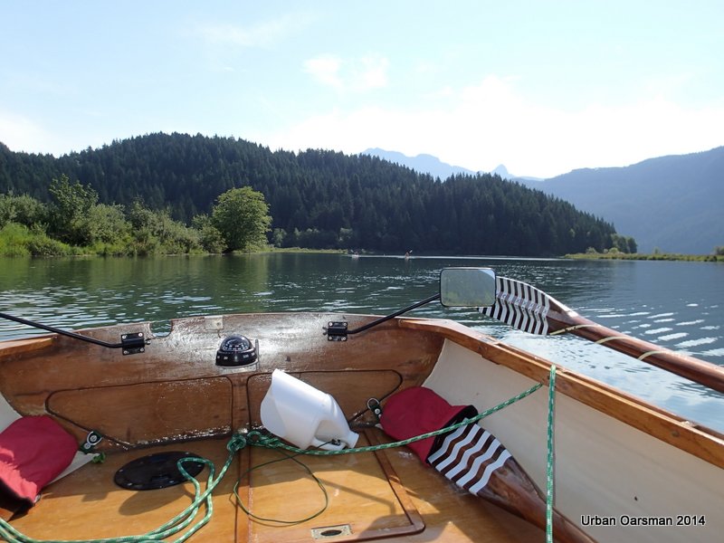
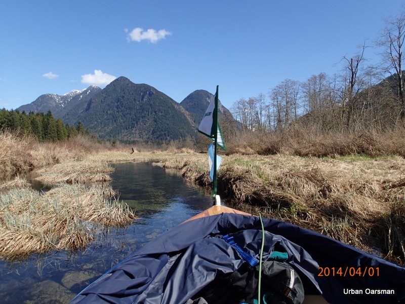
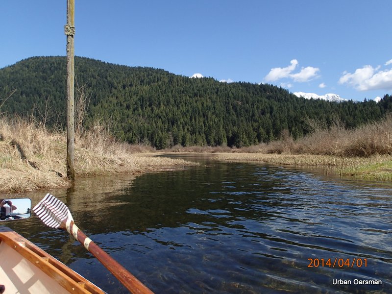
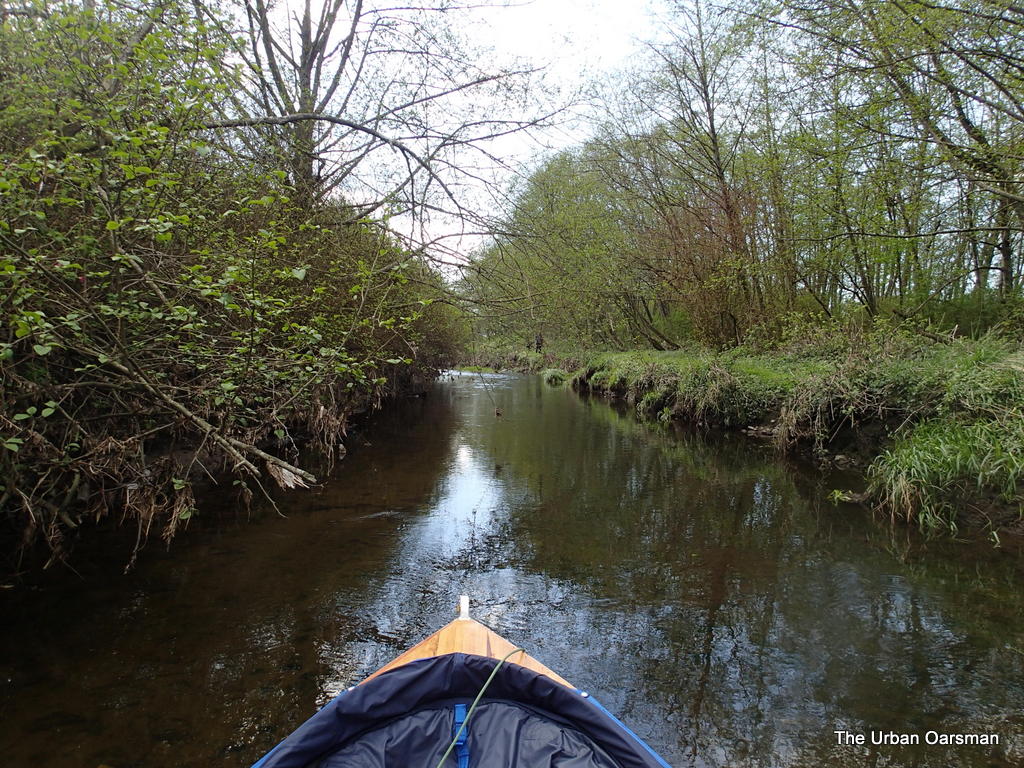
Two kayaks are astern of me. I continue rowing upstream toward the depth gauge.

Baking in the Summer Sun, The Pitt River Row.

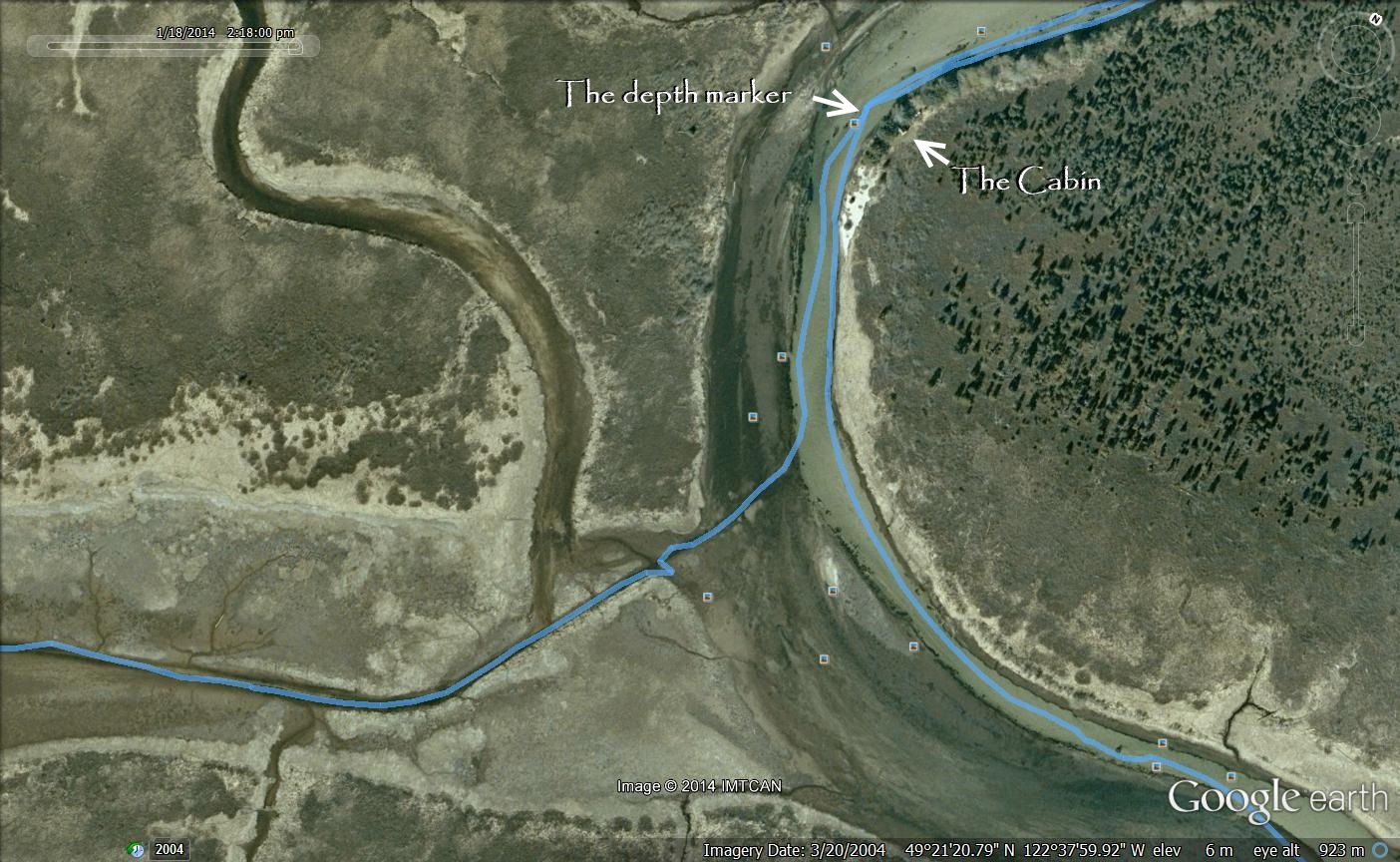
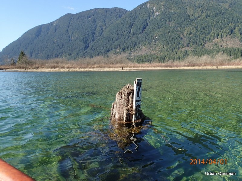
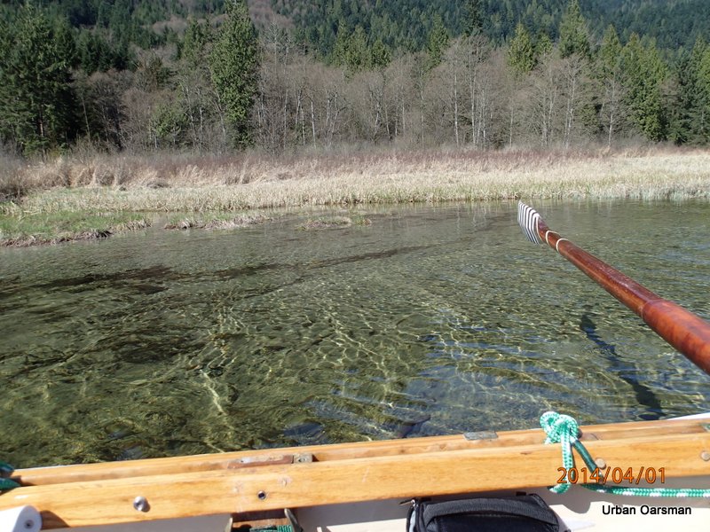
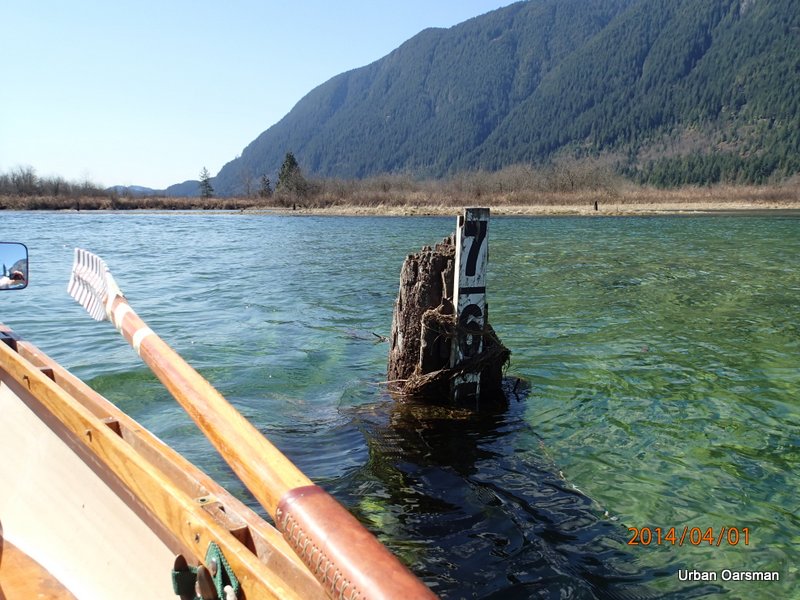
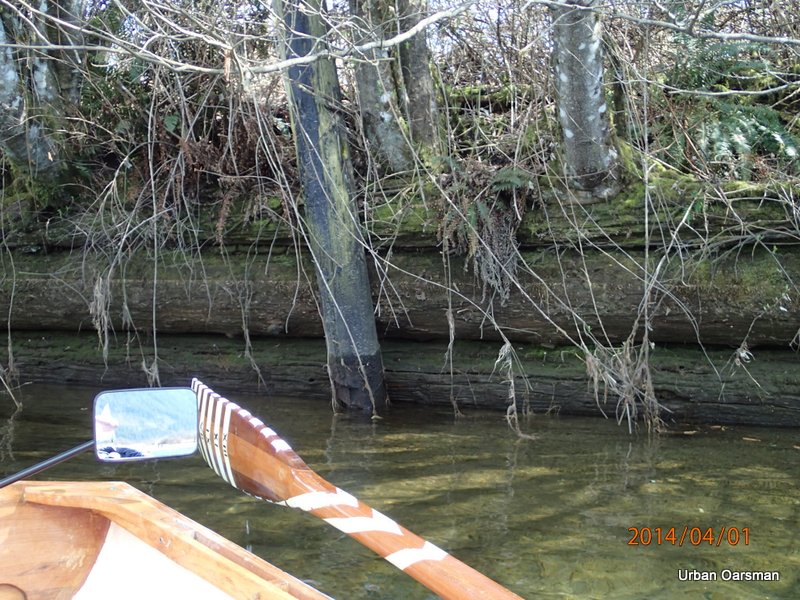
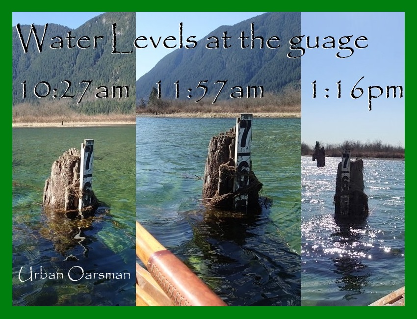
The depth marker gauge.  I have never see the water this high here.  Well over the 7 foot mark.  I row over the gauge.  Probably 8 feet of water.

Baking in the Summer Sun, The Pitt River Row.

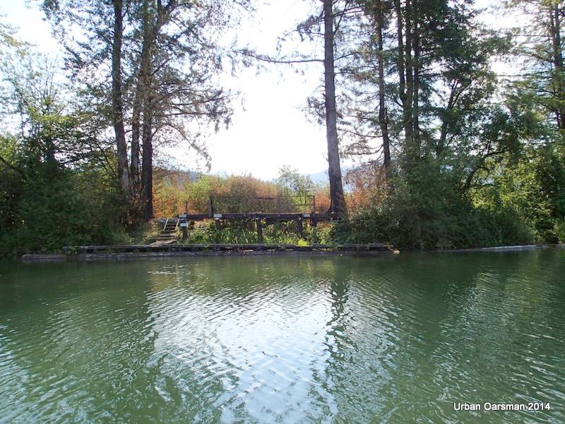
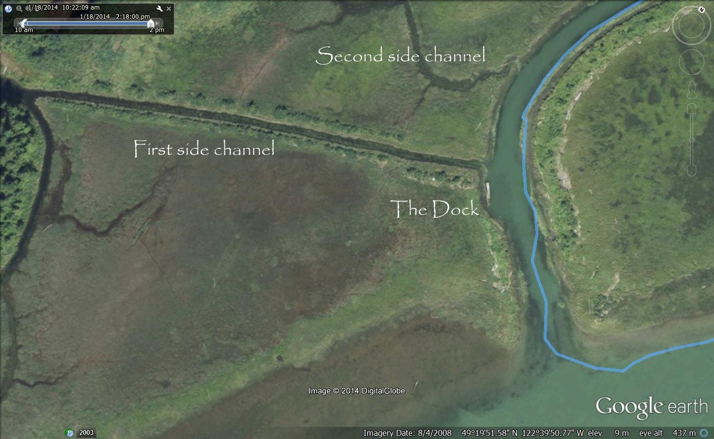
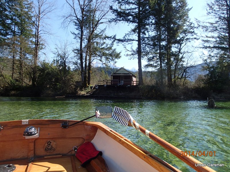
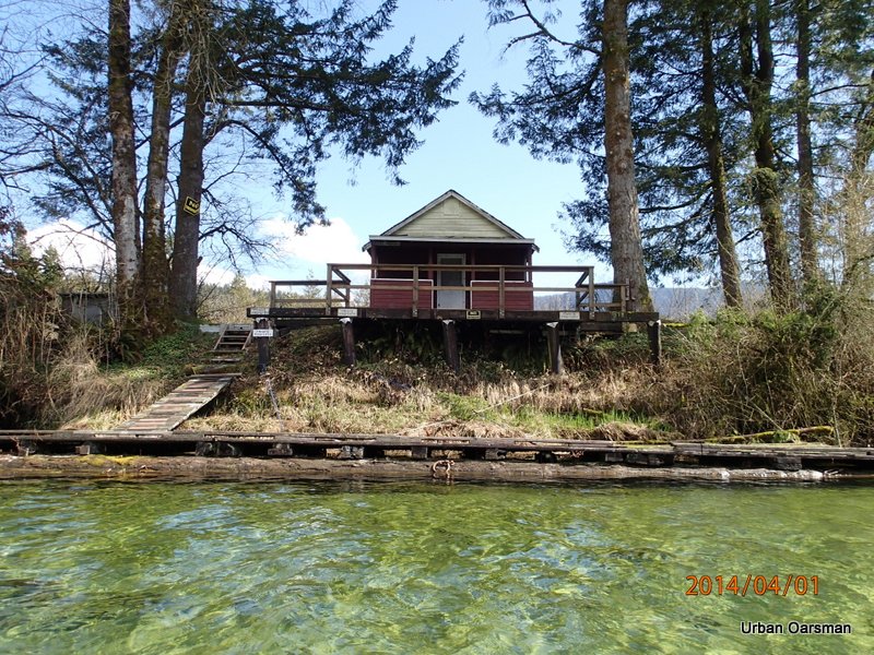
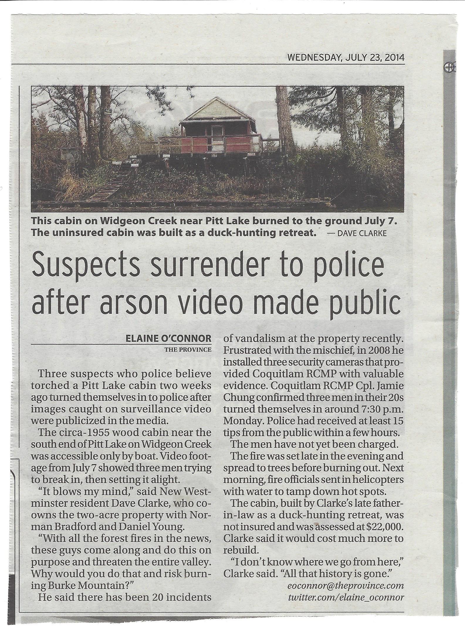
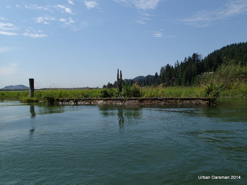
The “No-trespassing” cabin is gone…Burnt.  The trees show signs of the fire.  The dock is still intact.  The cabin was here on June 23rd, 2014,  when I put the orange float on the pipe that I had run into on my April 1st, 2014 row.  When did it burn down?  I found this story on July 21st, 2014:

There is a news story on the CKNW site about the cabin burning.  Check out this link:   http://www.cknw.com/2014/07/21/suspected-arsonists-caught-on-camera-in-coquitlam/

There was another story on July 22nd, 2014:

http://www.cknw.com/2014/07/22/three-people-surrender-in-alleged-cabin-arson/

Here is a copy of an article in the Vancouver Province on July 23rd, 2014:

Widgeon Creek Cabin Arson article

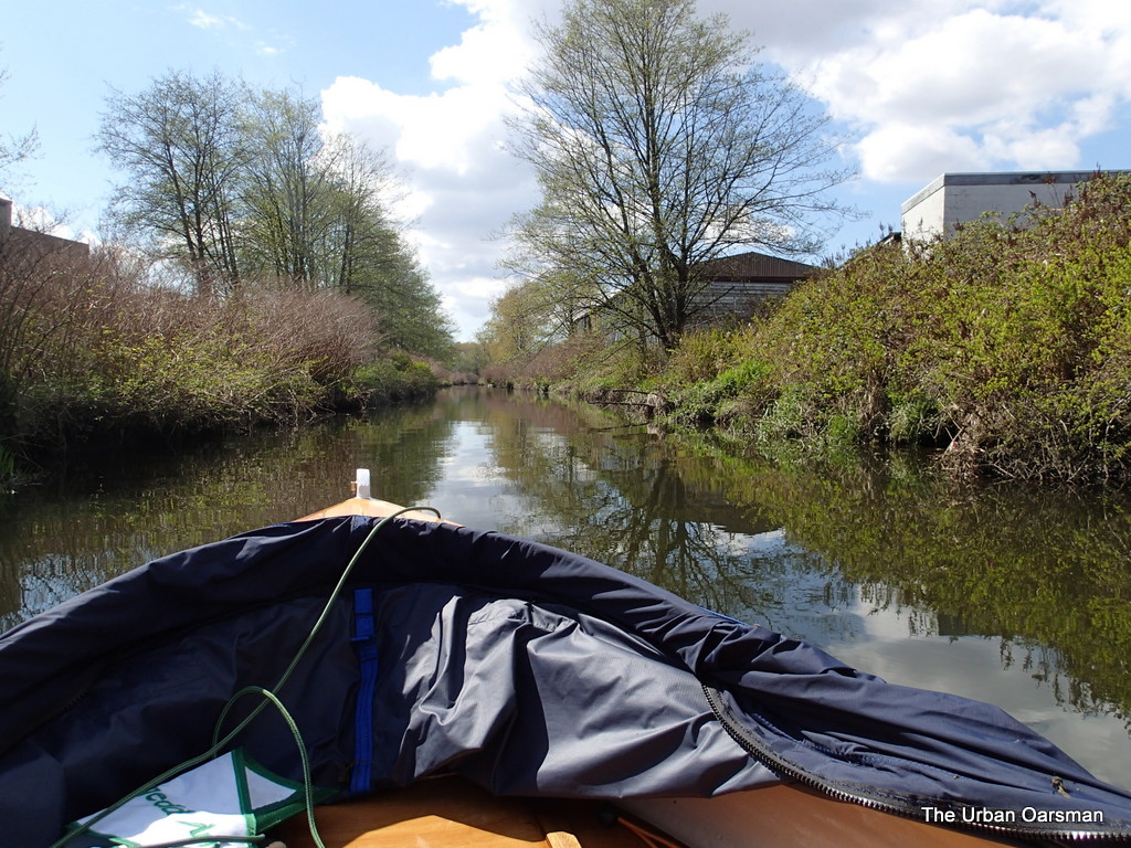
All of the Kayakers are as surprised as I am that the cabin is gone.  I row toward Widgeon Slough, the channel between Siwash Island and the west bank.

Baking in the Summer Sun, The Pitt River Row.

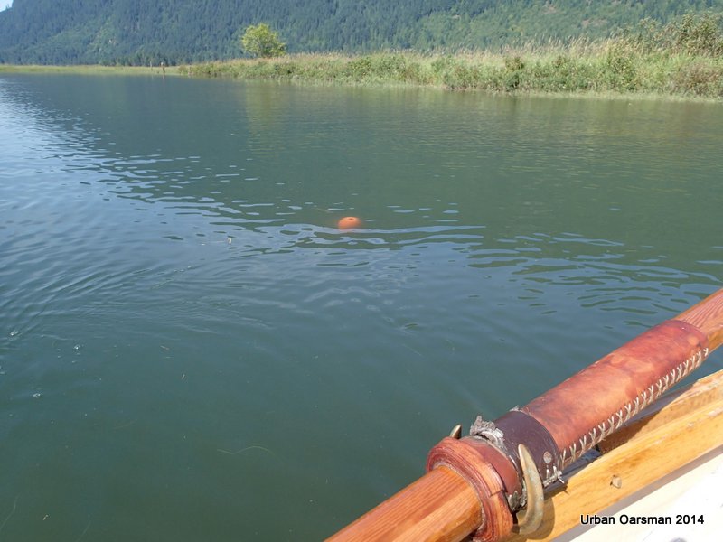
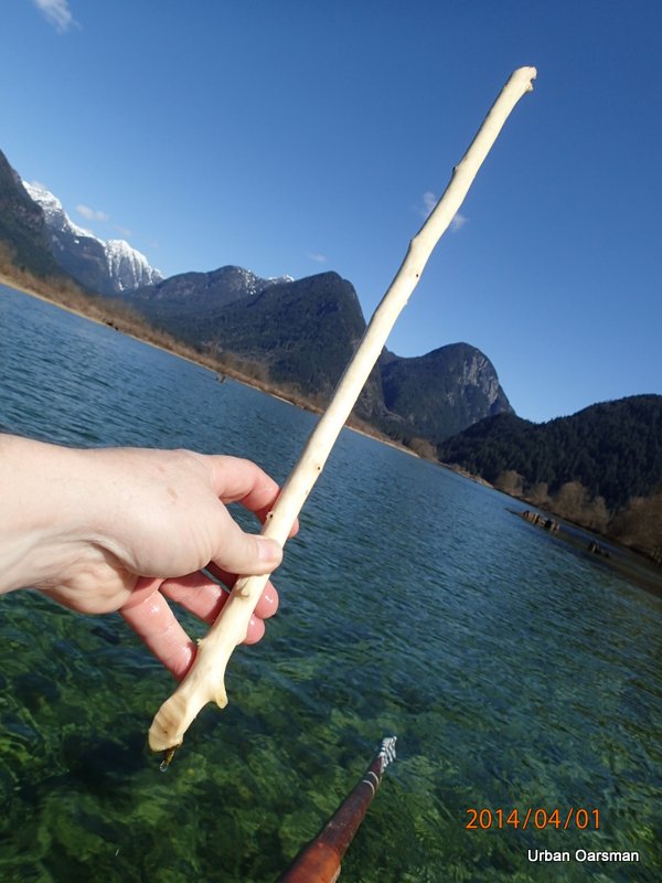
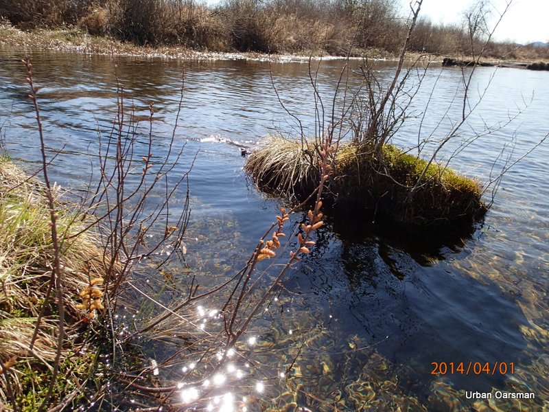
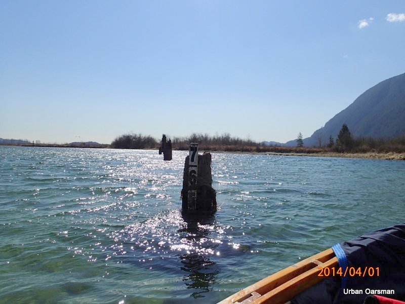
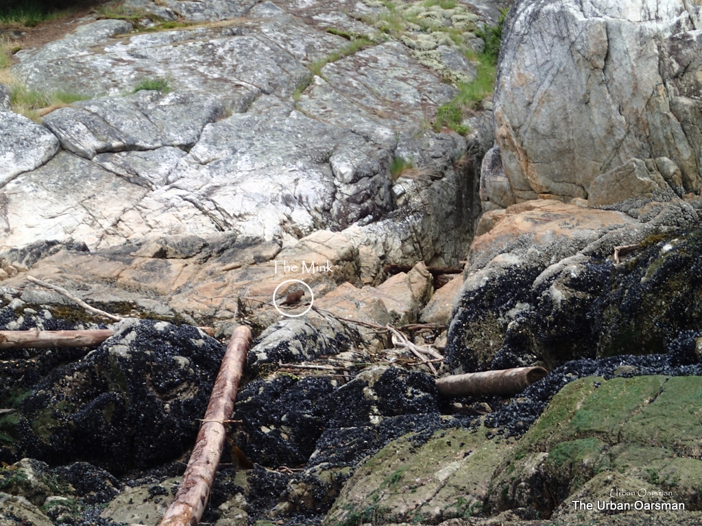
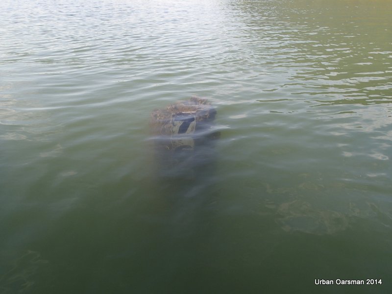
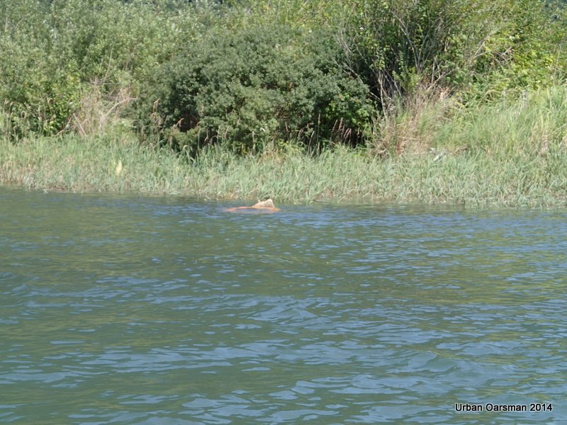
I find the orange float on the end of the pipe.  I hammered it onto the pipe on June 23rd, 2014.  Good to see that it is still there on the business end of the pipe.

Baking in the Summer Sun, The Pitt River Row.

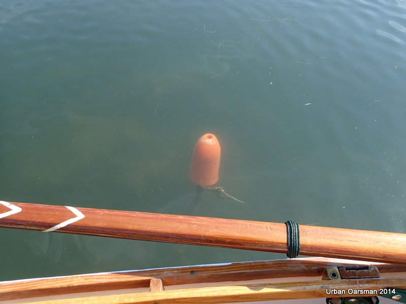
Another look at the float.  At least if you run into it now, the float will prevent the pipe from scratching or penetrating your hull.

Widgeon Creek High Fraser Runoff water level.

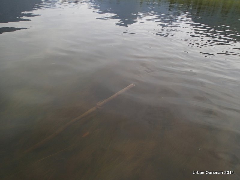
The pipe before I hammered the float on to it’s end.

Widgeon Creek High Fraser Runoff water level.

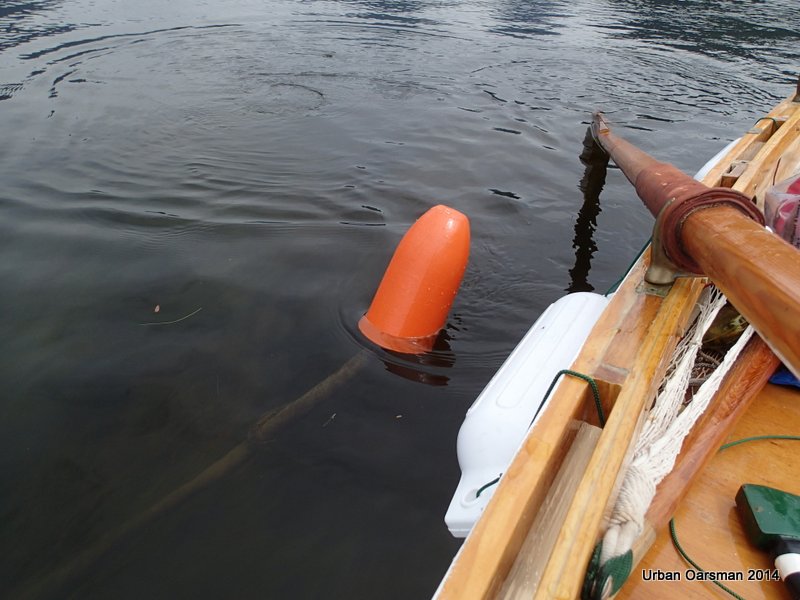
The pipe after it I  “Belled” it with the float.

Baking in the Summer Sun, The Pitt River Row.

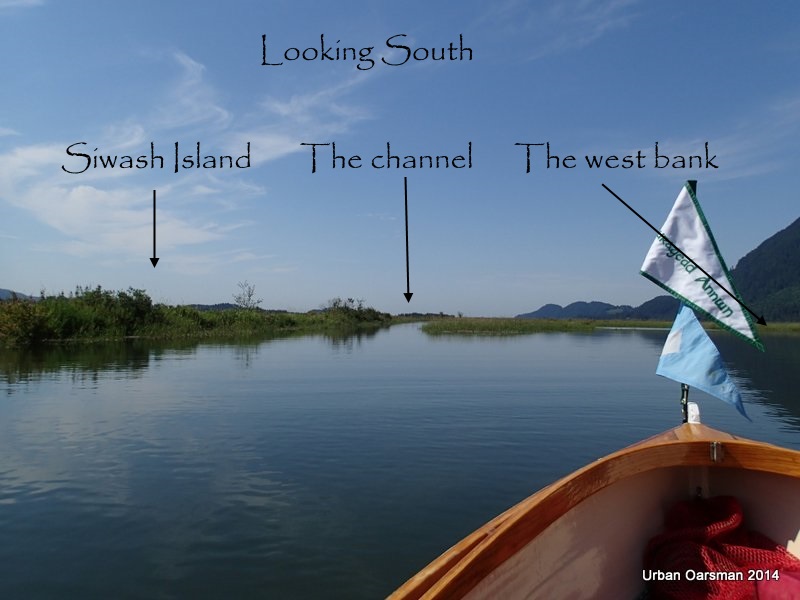
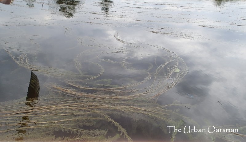
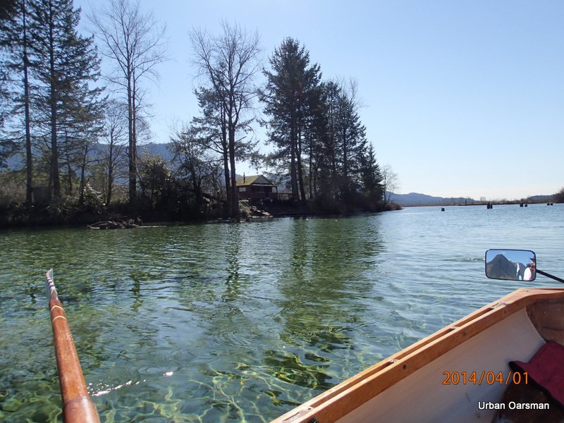
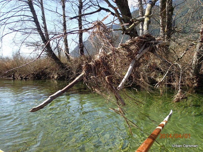
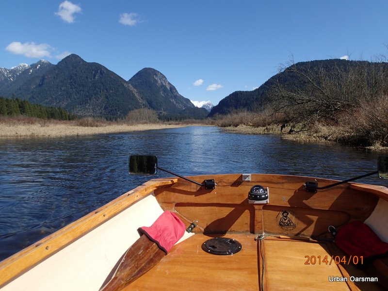
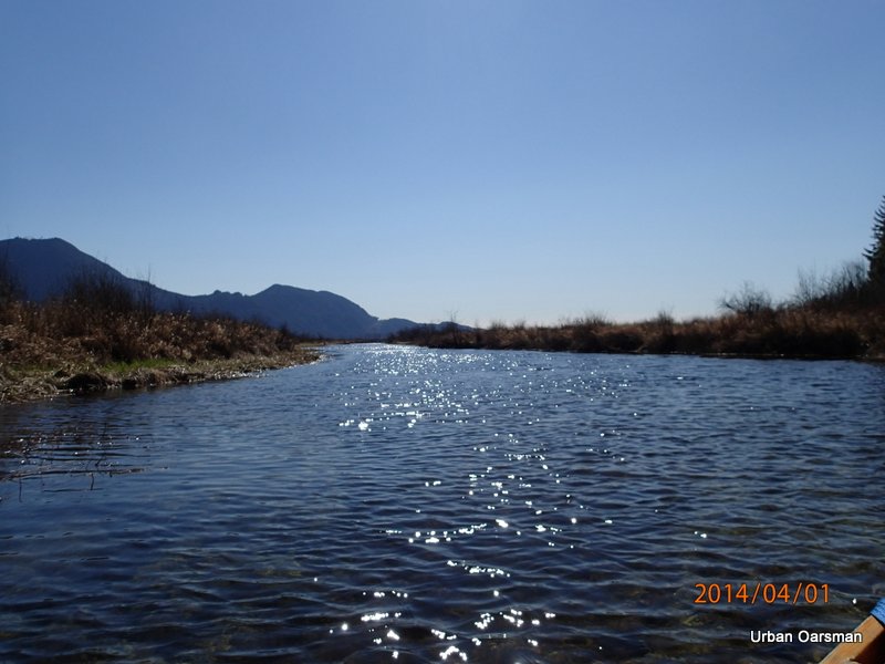
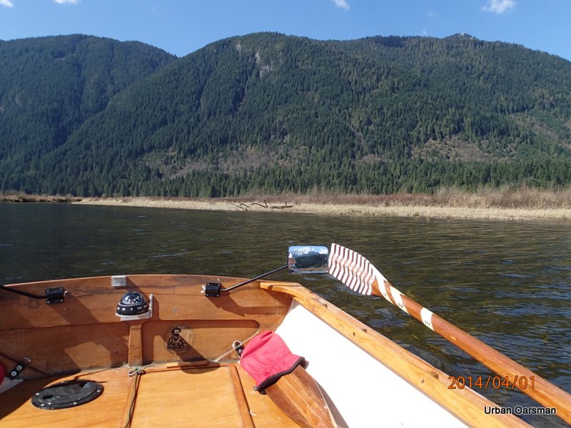
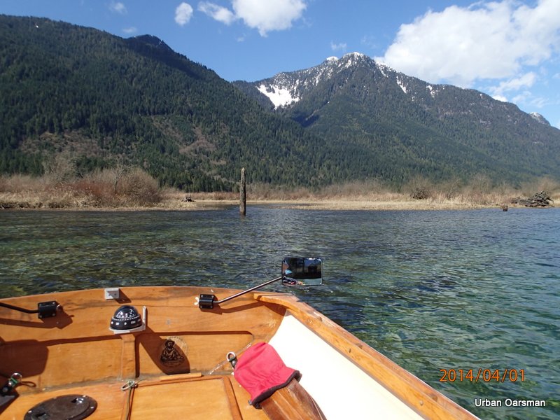
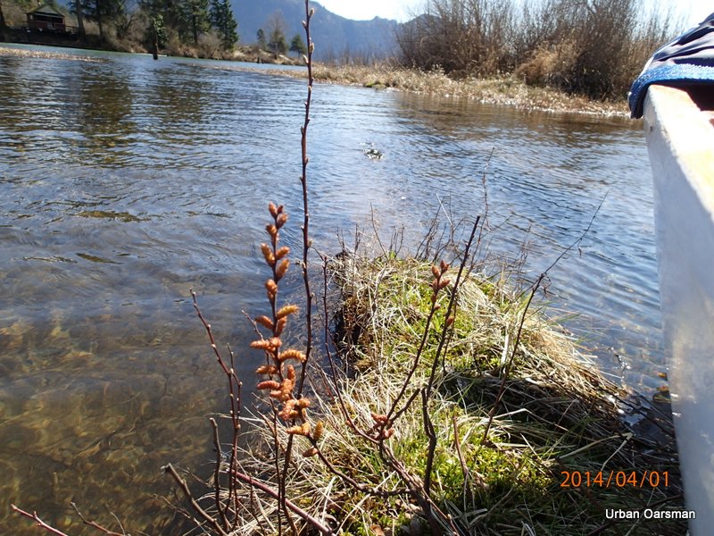
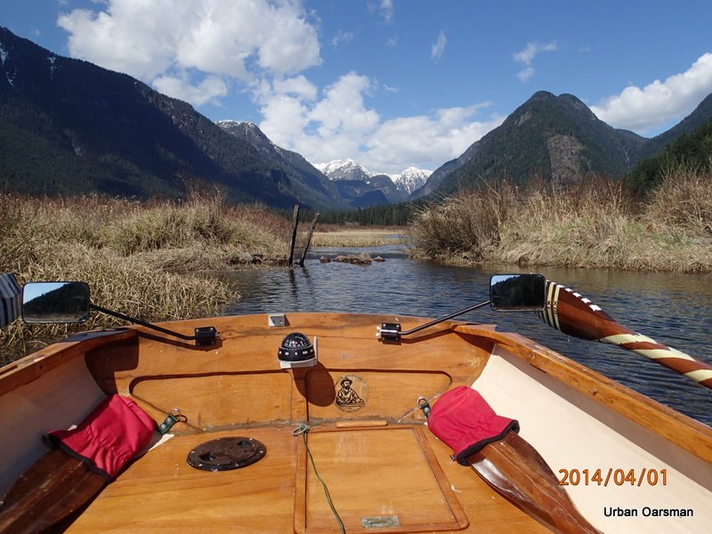
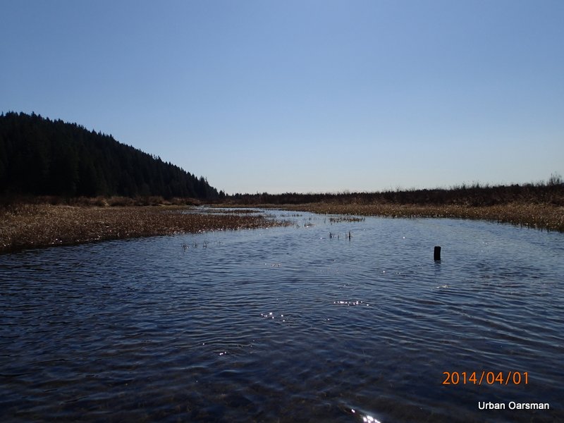
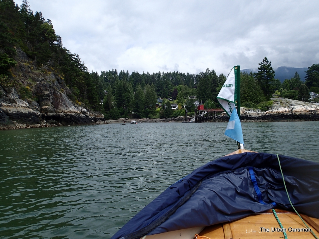
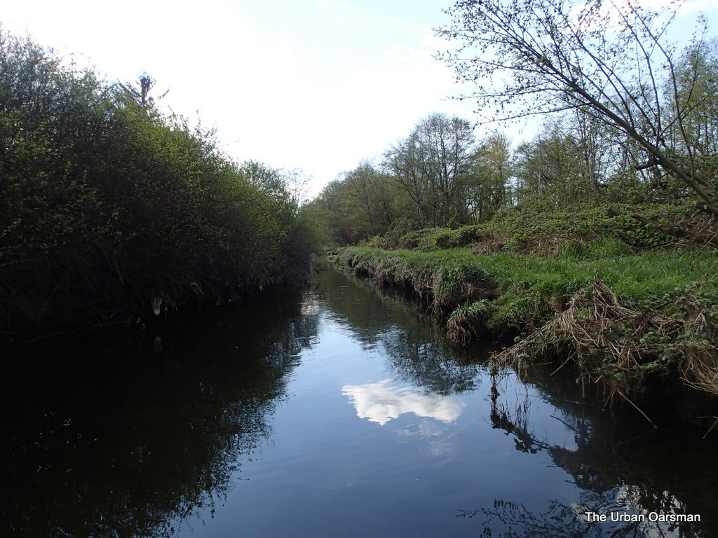
I row past the pipe hazard now marked with an orange float, South into Widgeon Slough, the channel between Siwash Island and the Western shore.  The reeds in the channel point into the channel, indicating that the tide is still coming in at this point (9:21am).

Baking in the Summer Sun, The Pitt River Row.

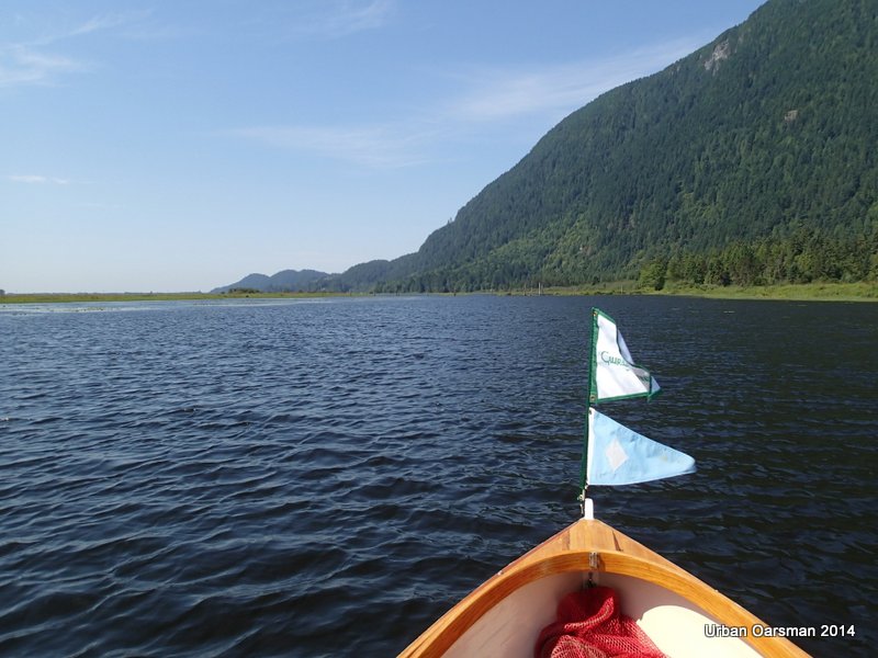
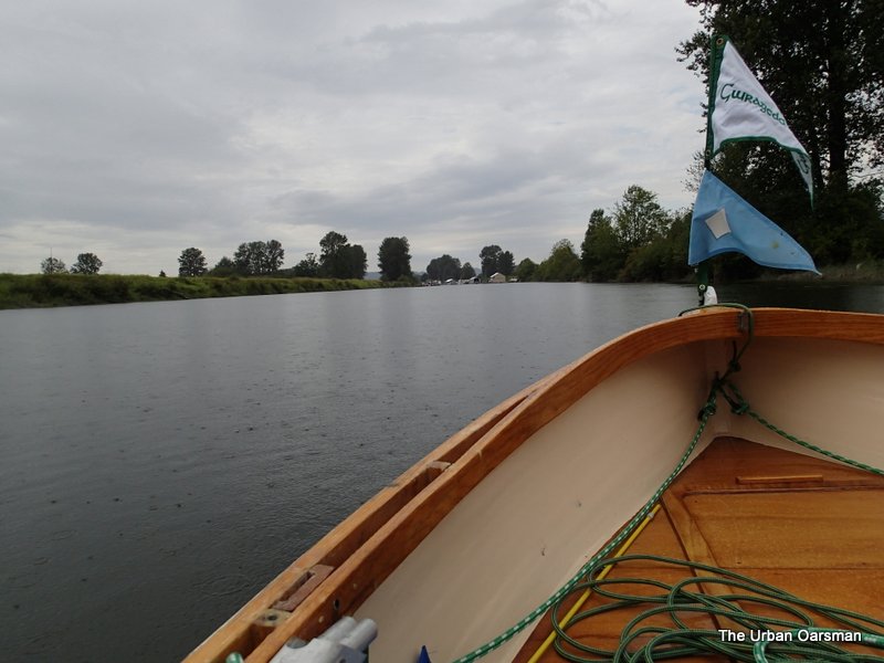
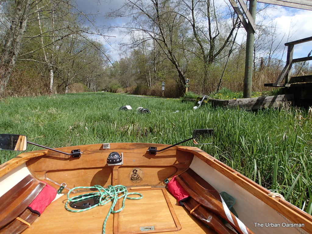
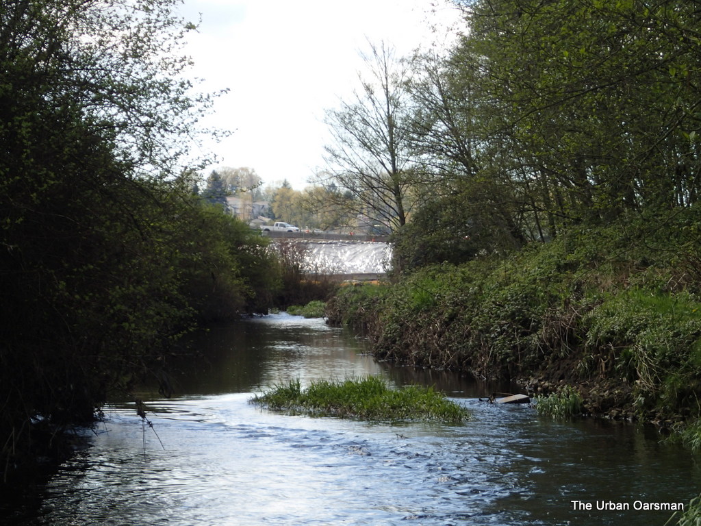
The wind begins to pick up.  The weather prediction is for light winds from the south, up to 3 meters per second, or 11 km/hr. Here is the Widgeon Creek link:

(http://www.yr.no/place/Canada/British_Columbia/Widgeon_Creek/hour_by_hour_detailed.html)

Baking in the Summer Sun, The Pitt River Row.

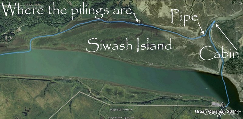
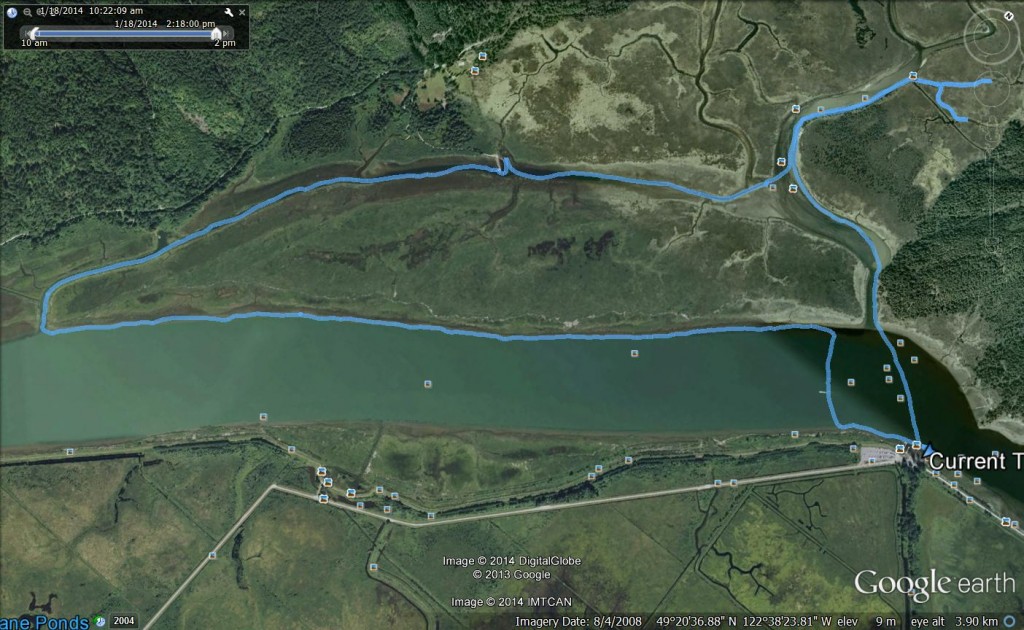
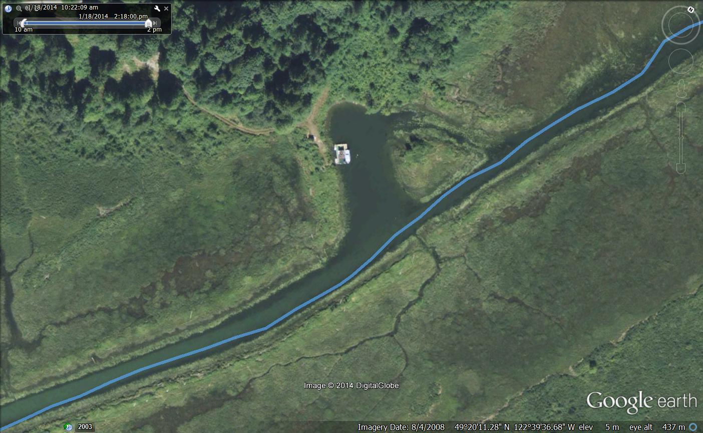
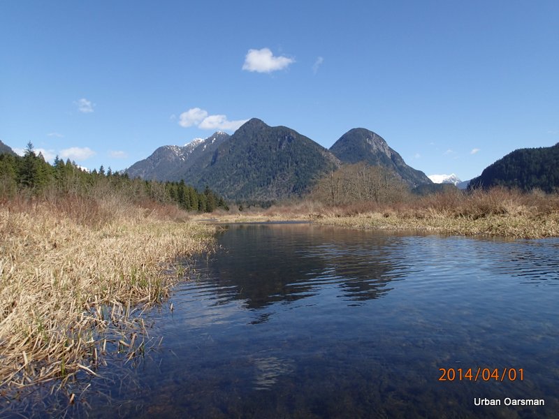
Google Earth image of the first leg of the row.
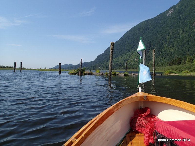
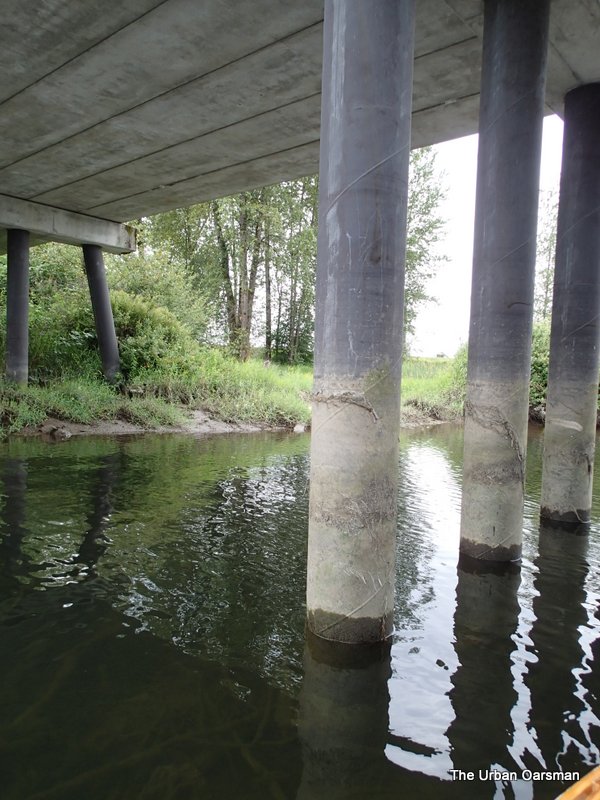
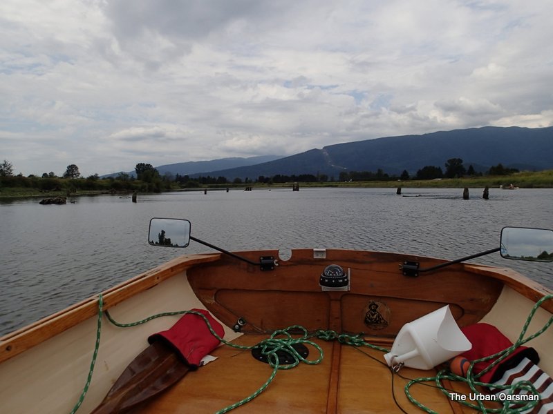
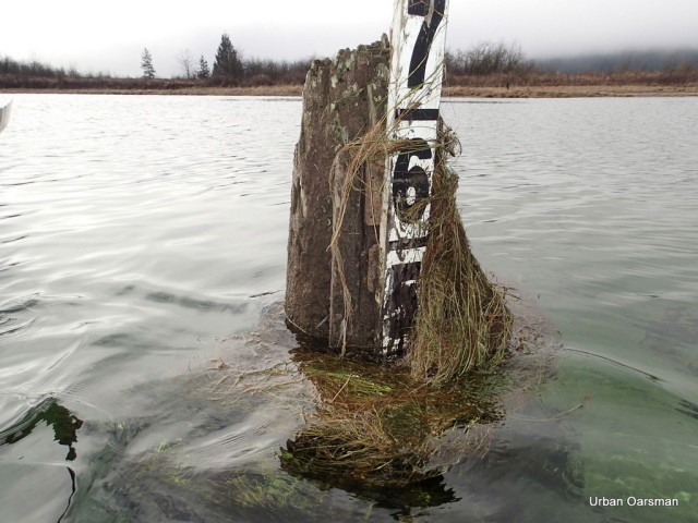
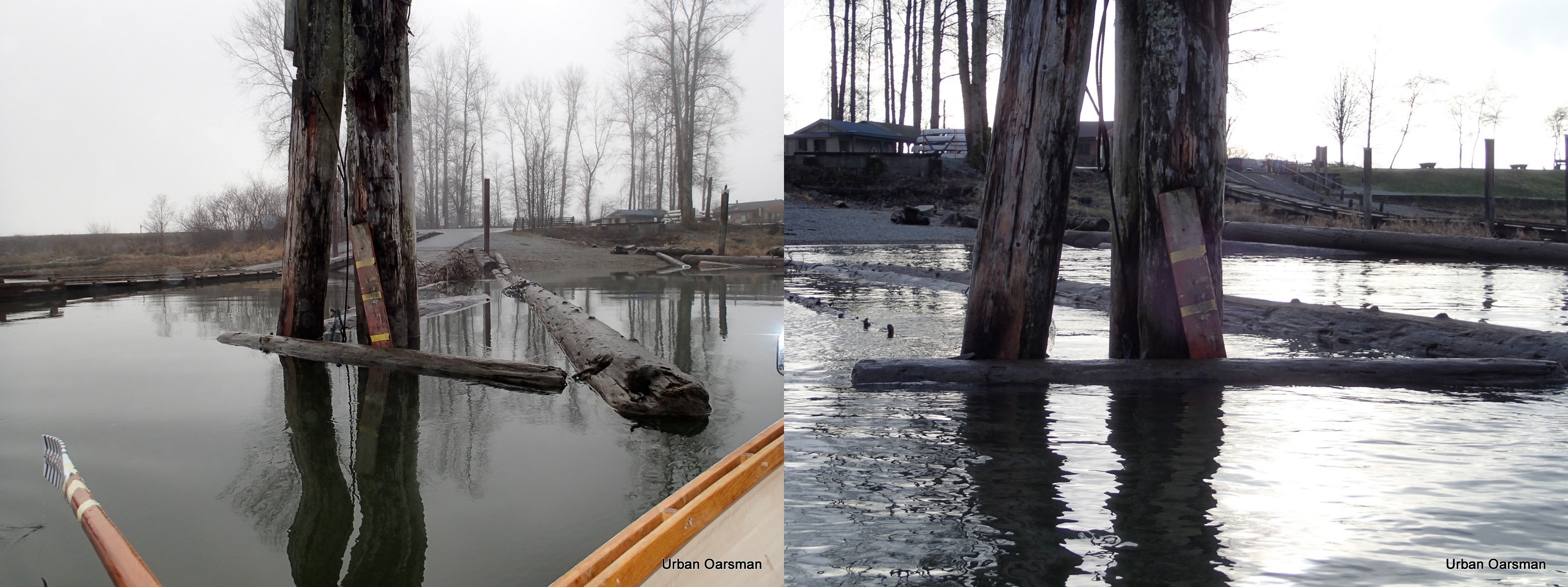
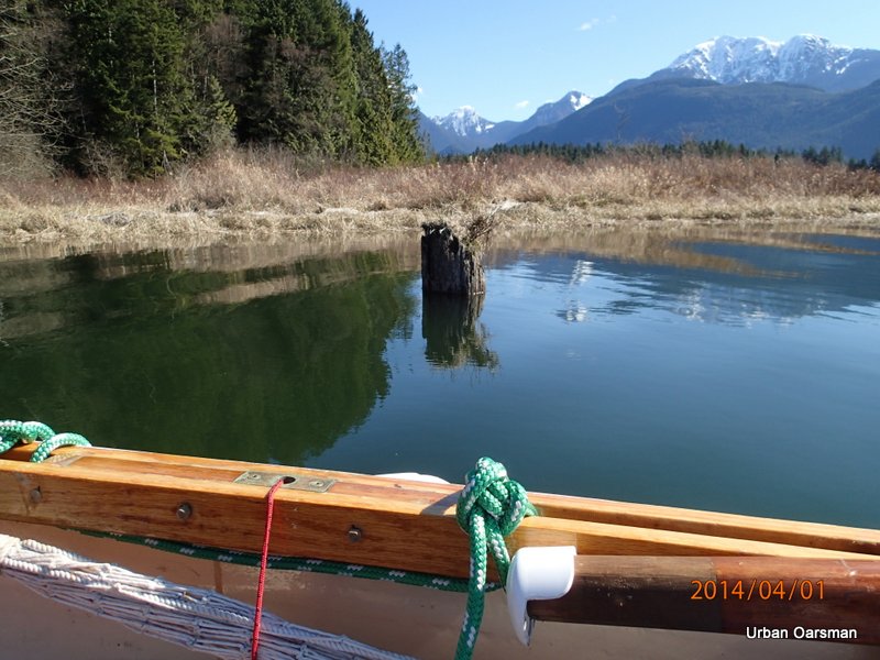
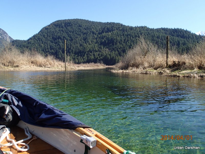
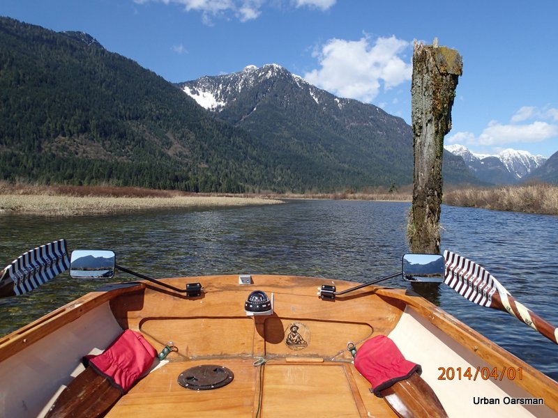
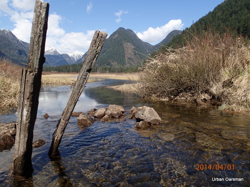
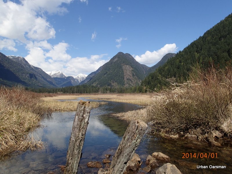
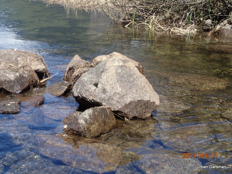
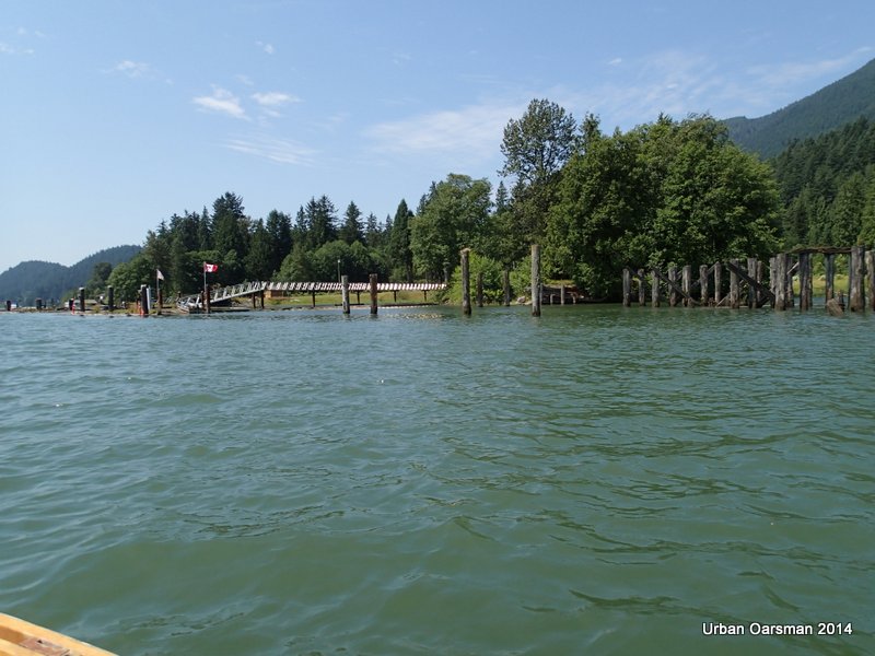
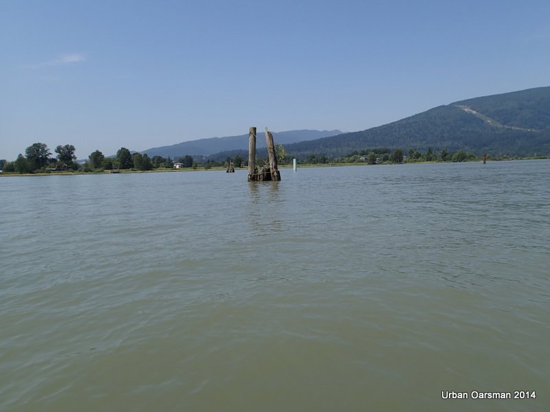
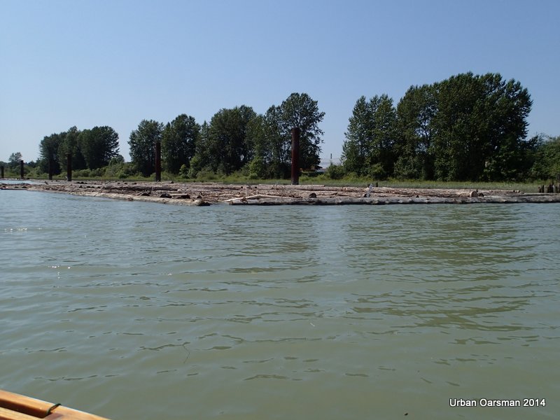
Baking in the Summer Sun, The Pitt River Row.

The Pilings.

Baking in the Summer Sun, The Pitt River Row.

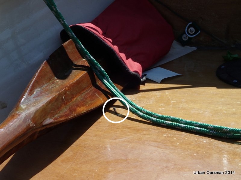
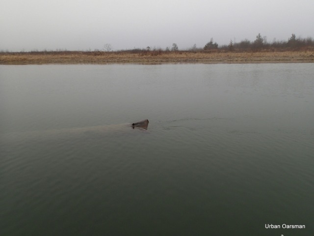
A dragonfly hitching a ride away from the wind.

Baking in the Summer Sun, The Pitt River Row.

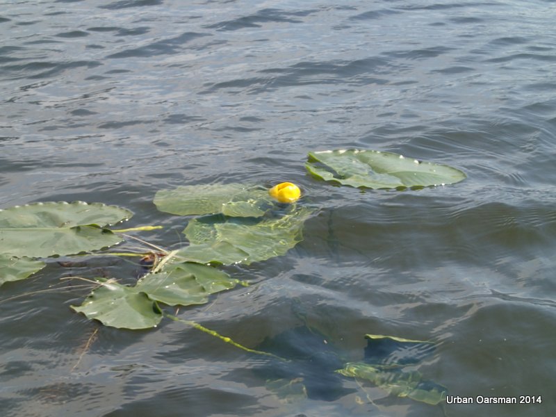
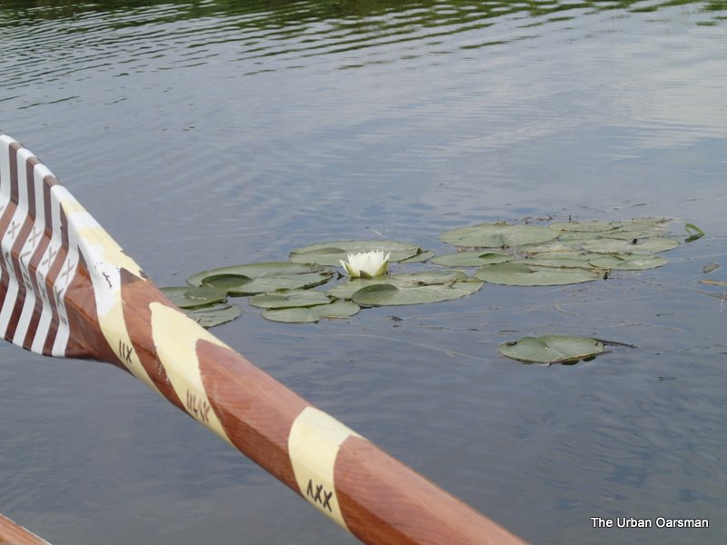
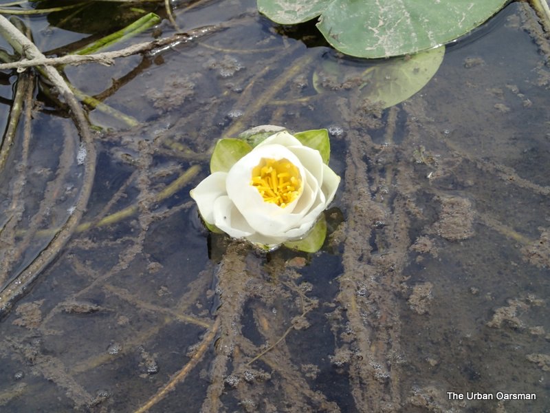
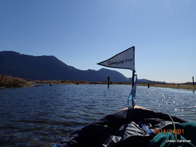
There are a lot of Indian pond lilies (Nymphaeaceae) in the channel.

Baking in the Summer Sun, The Pitt River Row.

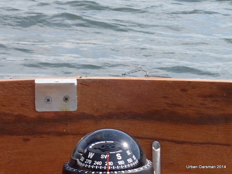
More hitch-hikers.  The wind is blowing more than 10km/hr now.

Baking in the Summer Sun, The Pitt River Row.

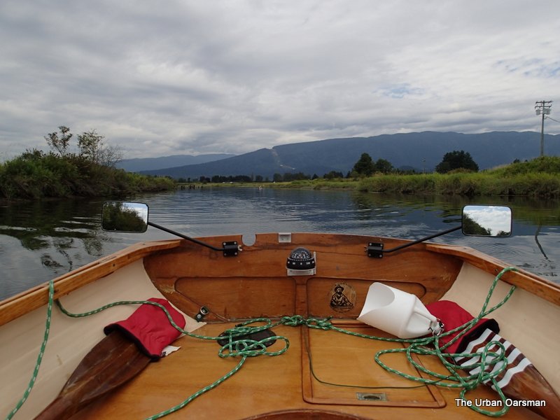
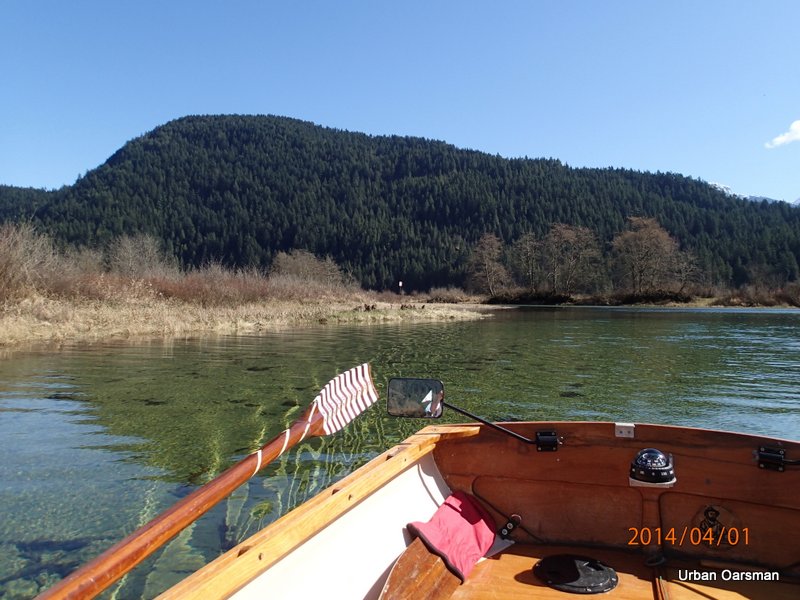
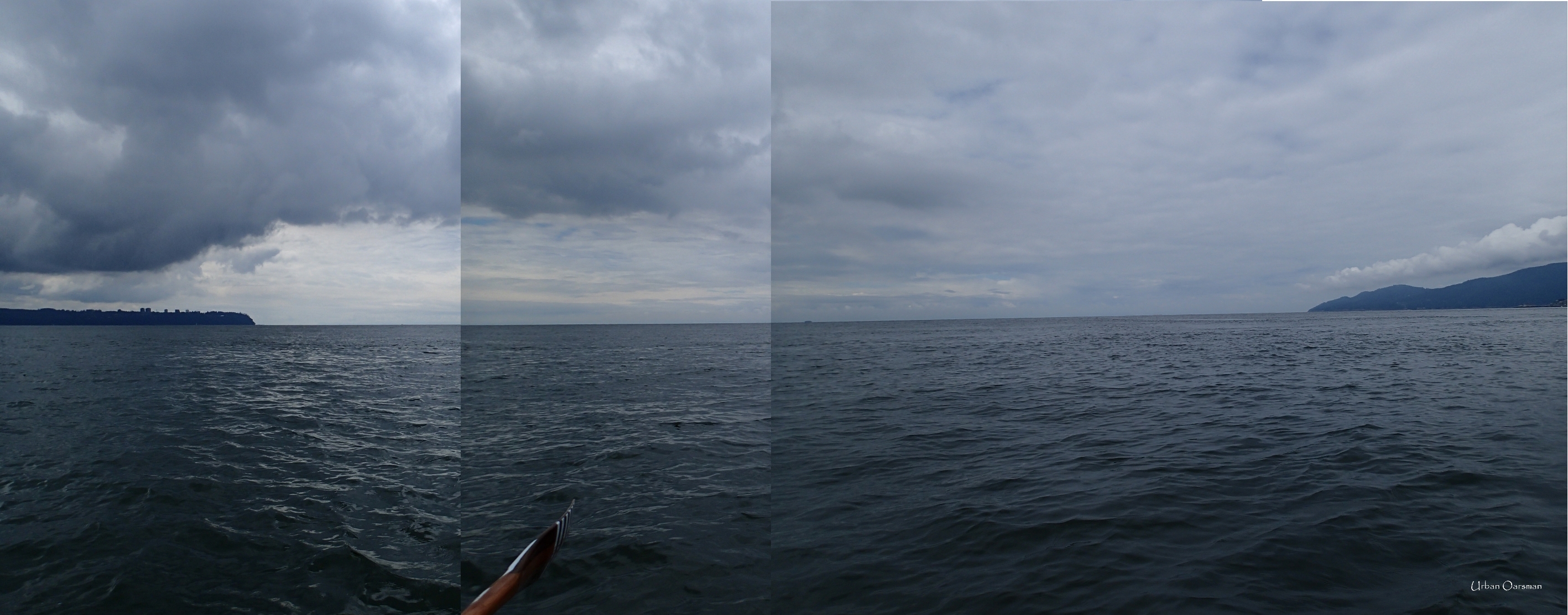
Rowing into the wind.  I am making about 2km/hr headway here.

Baking in the Summer Sun, The Pitt River Row.

The view North, rowing into the wind.  Siwash Island to the East (right).

Baking in the Summer Sun, The Pitt River Row.

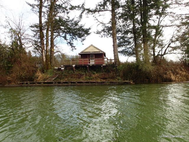
A floating Dock on the West bank, in Widgeon Slough, the channel between Siwash Island and the west bank of Pitt River.

Baking in the Summer Sun, The Pitt River Row.

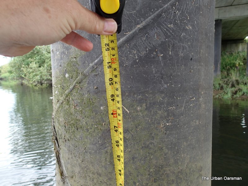
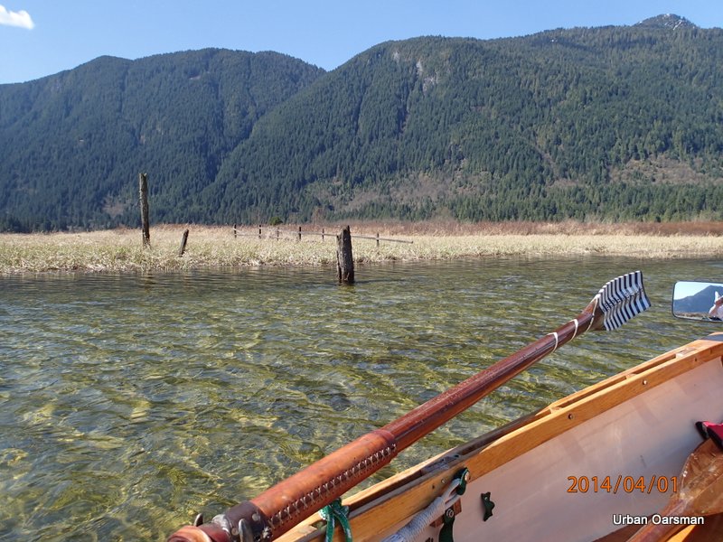
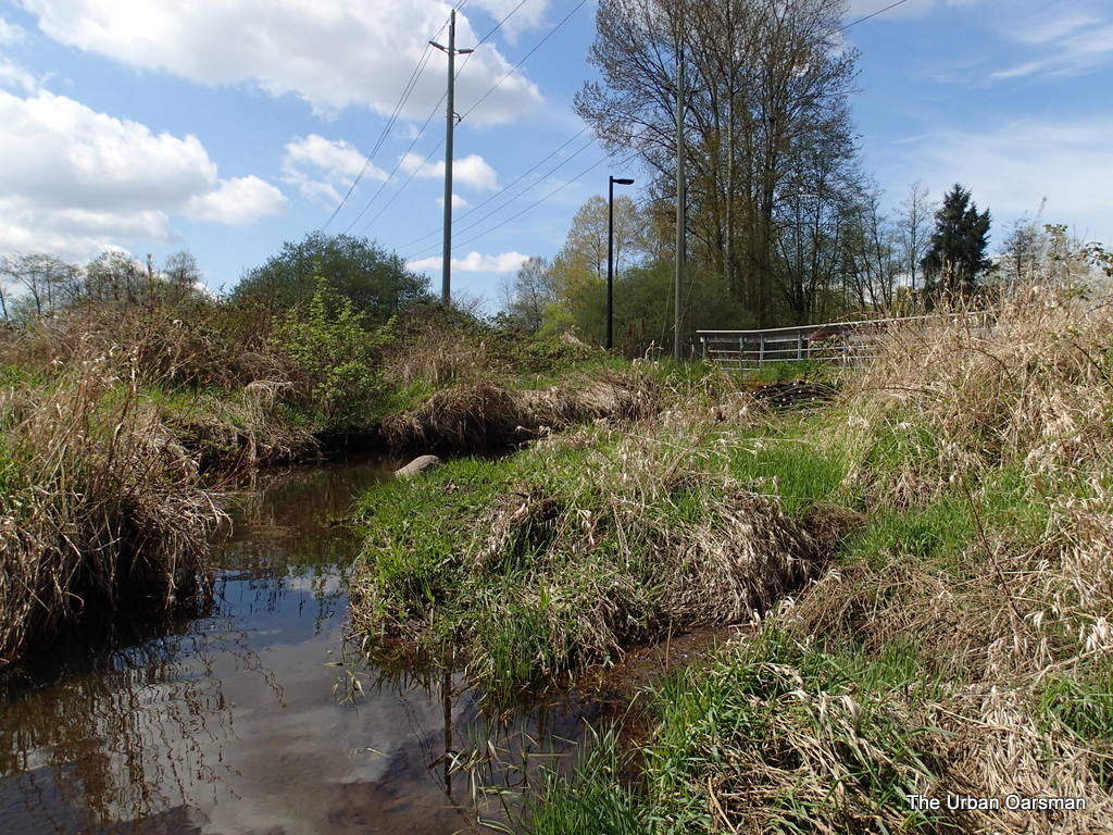
The water is so high that the speed limit sign is submerged.

Siwash Island Circumnavigation Row

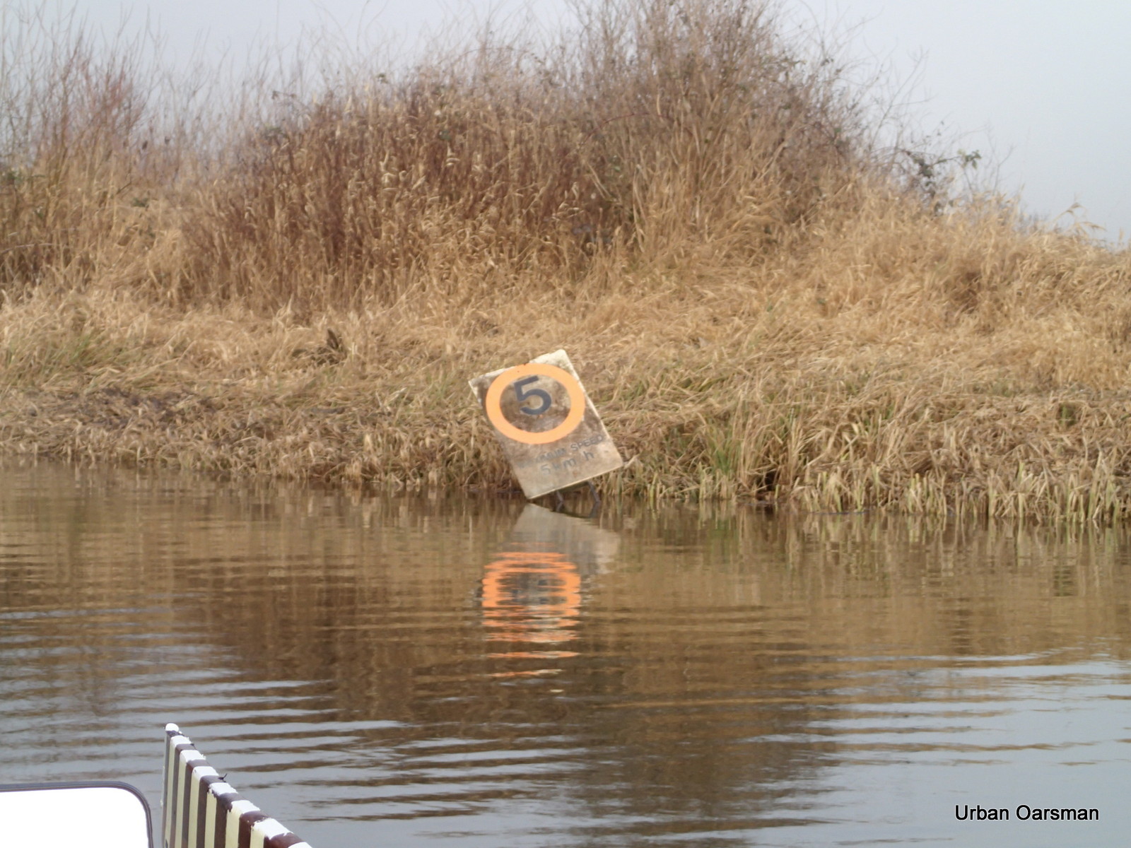
This is what the sign looked like when I was here on January 18th, 2014.

Baking in the Summer Sun, The Pitt River Row.

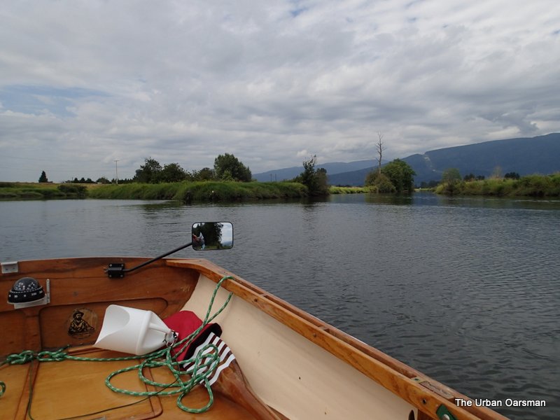
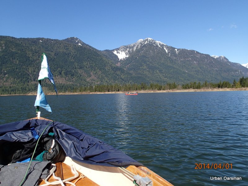
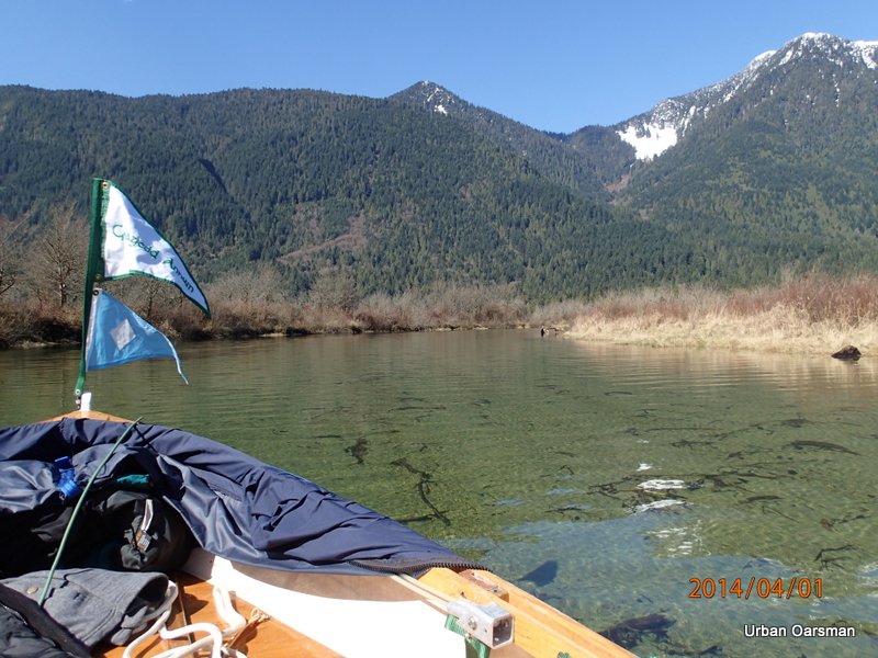
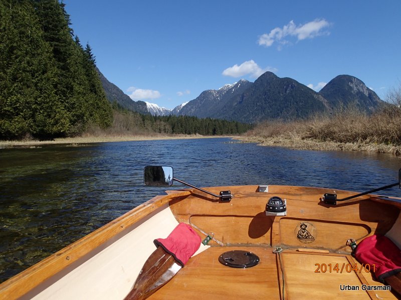
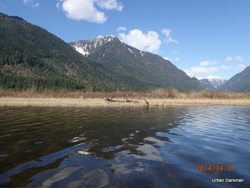
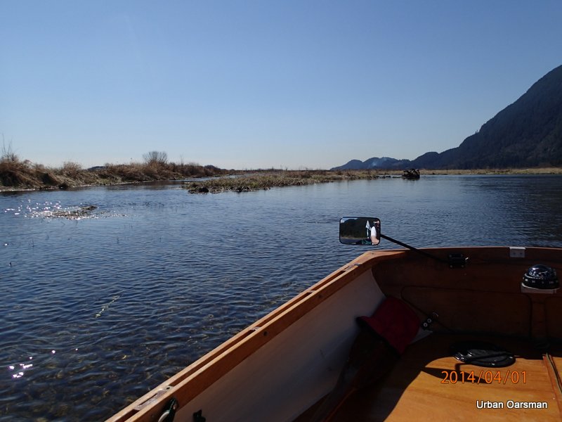
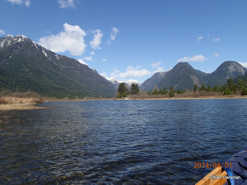
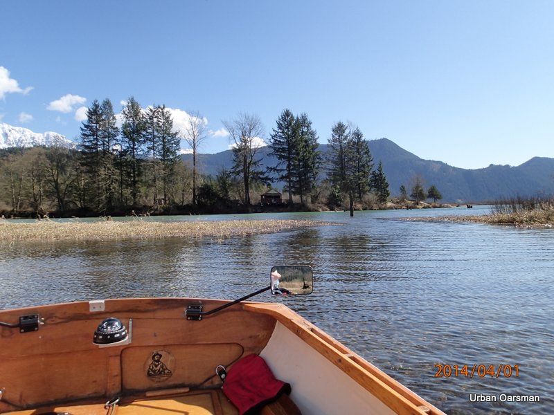
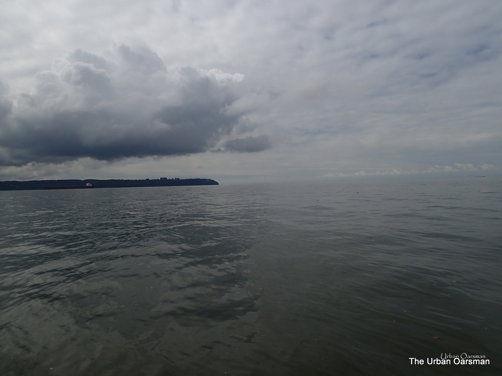
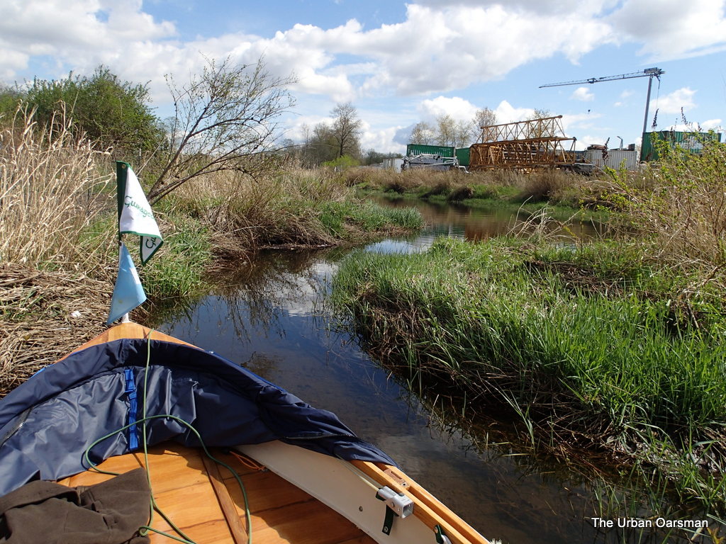
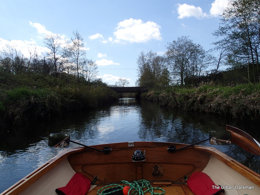
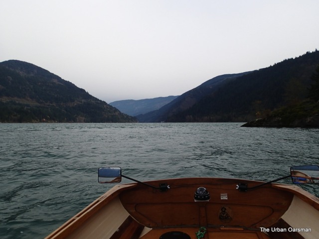
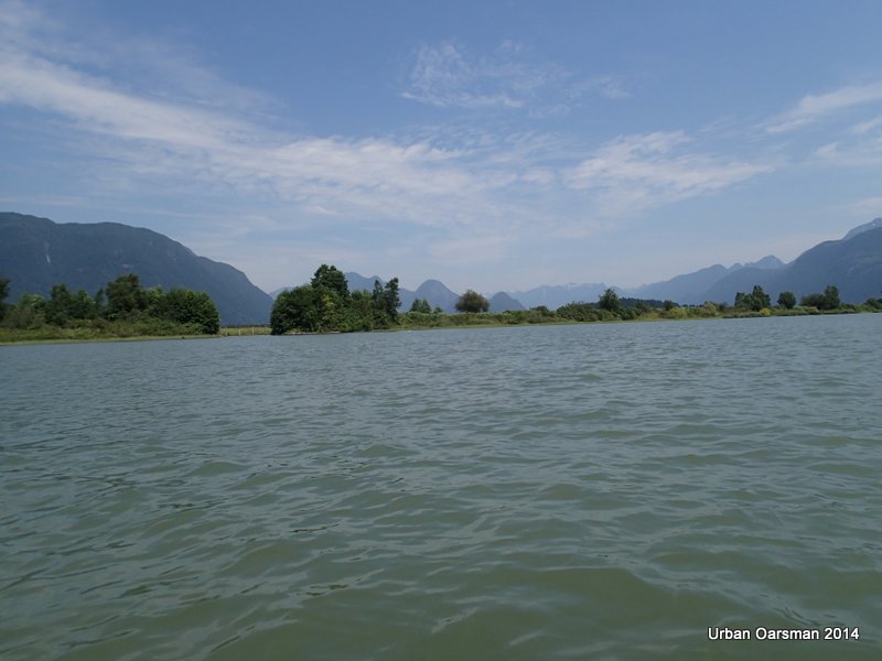
I row out into the middle of Fox Reach.  Rowing plan “B”: If the wind is too strong it will push Gwragedd Annwn back towards Grant Narrows, and I will row back up river, circumnavigate Siwash Island and explore more of Widgeon Creek with the high water.  Rowing “Plan “A”:  If the current flowing downstream has a stronger effect on Gwragedd Annwn and she goes downstream with the current, I will continue on and row to the Port Mann boat launch.

Baking in the Summer Sun, The Pitt River Row.

Even with the 10+ km/hr breeze, Gwragedd Annwn is moving with the current downstream between 2 and 3 km/hr.  With rowing, I can make a boat speed of 2 to 3 km/hr through the water, giving me an over the ground speed of between 5 and 6 km/hr.  I opt for plan “A” and row down river.

Baking in the Summer Sun, The Pitt River Row.

Private docks on the west bank of the Pitt River by Munro Creek.

Baking in the Summer Sun, The Pitt River Row.

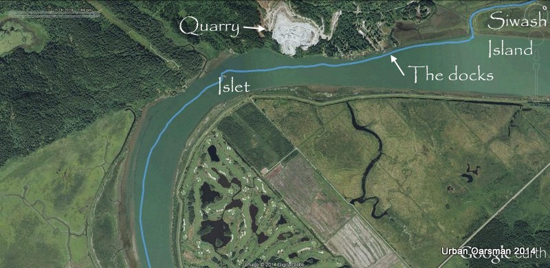
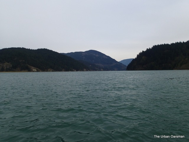
The second leg of the Row.  The chart shows the unnamed islet is 14 meters high.

Baking in the Summer Sun, The Pitt River Row.

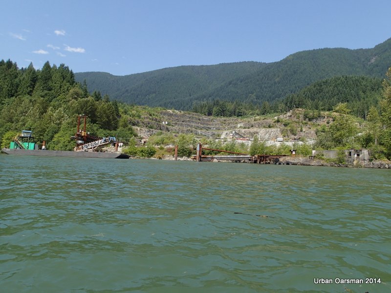
River side view of the Quarry.  It is still active.

Baking in the Summer Sun, The Pitt River Row.

The islet appears. There is 22 meters of clearance under the power lines.

Baking in the Summer Sun, The Pitt River Row.

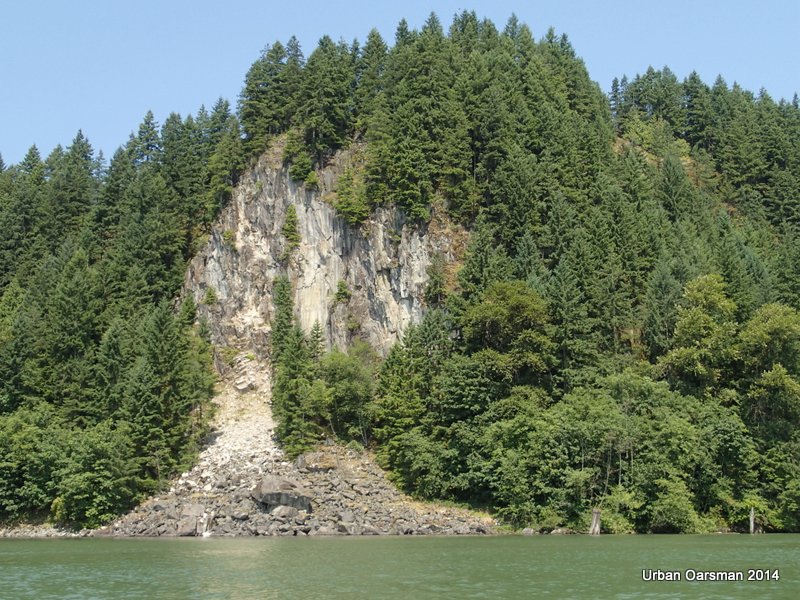
Cliff face at MacIntyre Creek, North side.

Baking in the Summer Sun, The Pitt River Row.

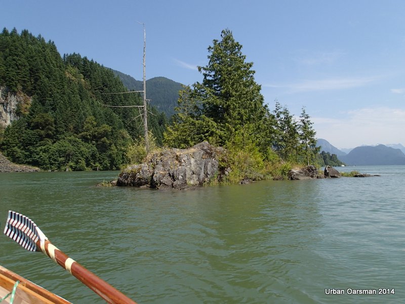
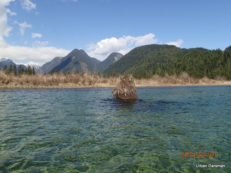
Leaving the islet astern.  I saw a camp-fire pit on the islet as I passed.  Could be an interesting place to camp for the night.  It is getting hotter. One liter of water drunk.

Baking in the Summer Sun, The Pitt River Row.

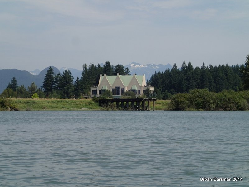
Swaneset Bay Resort & Country Club as seen from the river.  As you are driving to Grant Narrows Boat Launch, the good pavement ends just past the entrance to the club.

Baking in the Summer Sun, The Pitt River Row.

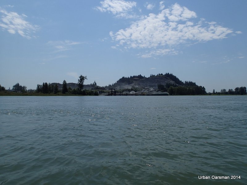
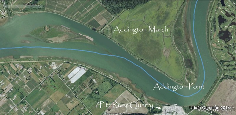
Just past Addington Point on the west shore, Pitt River Quarries as seen from Pitt River.  The Quarry is very noisy when the machinery is running.  I feel sorry for the Swaneset Bay Resort & Country Club members.  Such nice pavement to the club and then all of this noise.  Maybe the quarry does not run on the weekends.

Baking in the Summer Sun, The Pitt River Row.

  Third leg of the Row and time for lunch.  I have a sandwich and a bottle of iced tea as I drift down river past Addington Point.

Baking in the Summer Sun, The Pitt River Row.

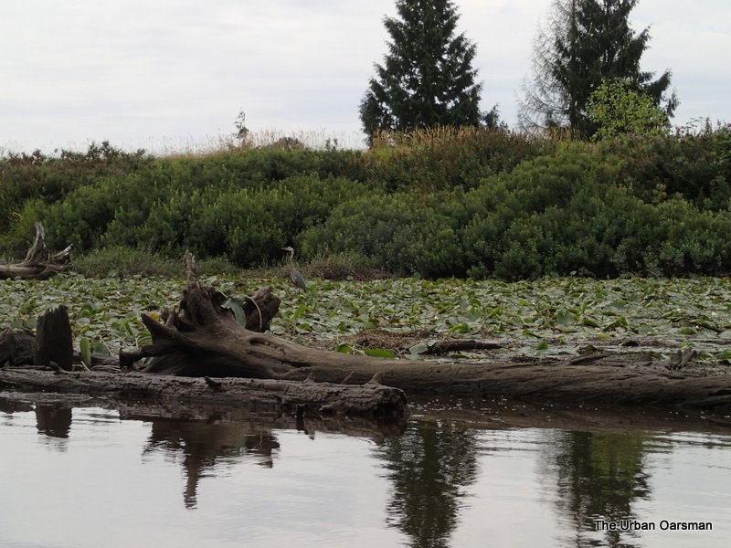
Looking North at  Addington marsh.  The breeze up river is dying off and I am making better time with my through the water boat speed.  I finish off my second liter of water.

Baking in the Summer Sun, The Pitt River Row.

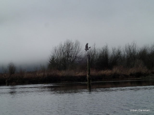
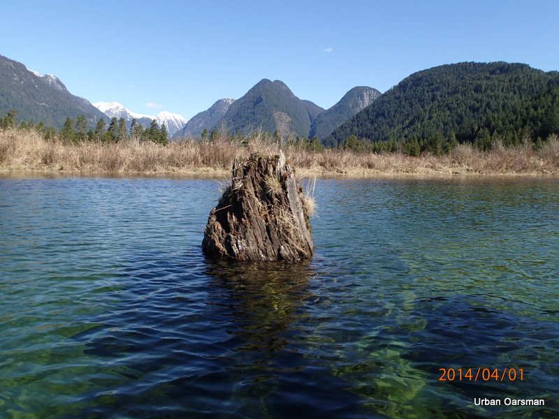
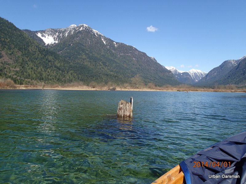
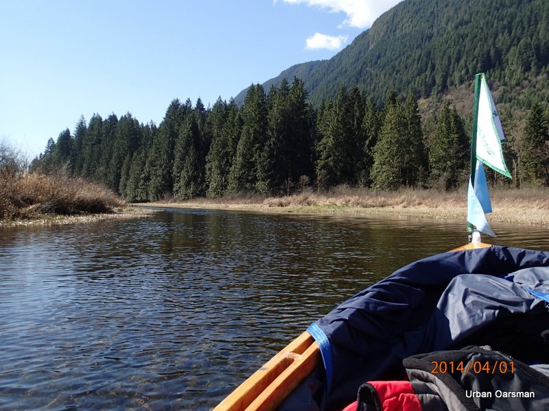
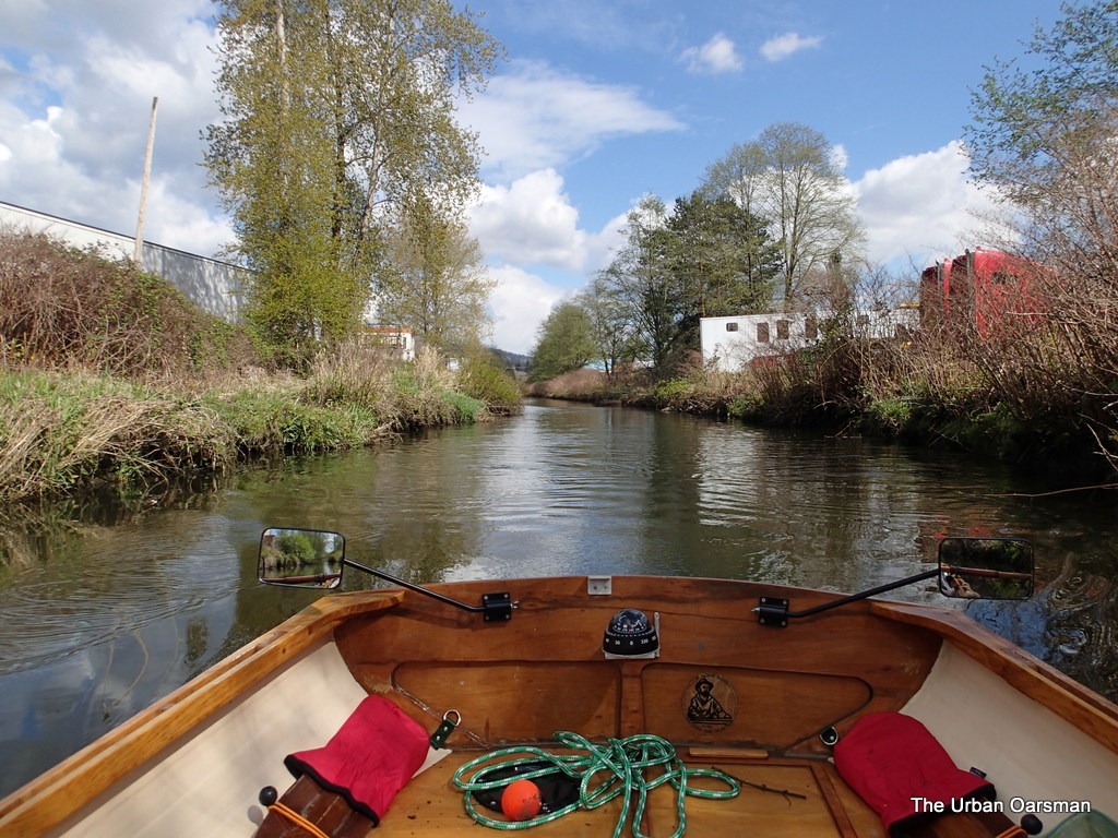
I am in Chatham Reach.  There are a lot of old pilings here.  Many of them have vegetation growing on them.

Baking in the Summer Sun, The Pitt River Row.

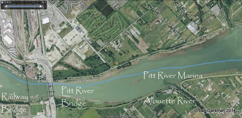
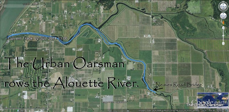
Fourth leg of row, showing Pitt River Marina, Alouette River, Pitt River Bridge and the Railway Bridge.  The pilings and dolphins do not show in this image.

Baking in the Summer Sun, The Pitt River Row.

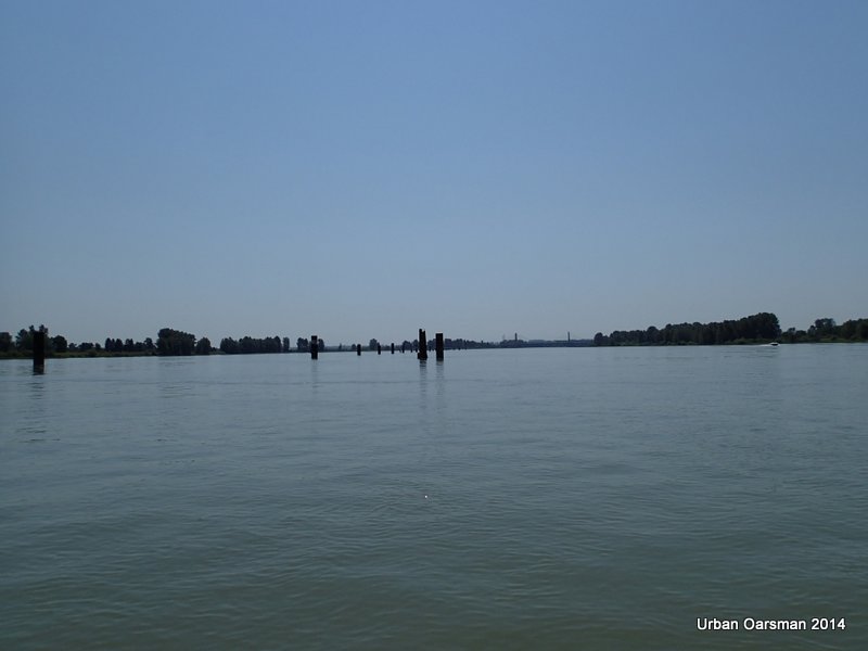
More pilings.  You can see these pilings from the Pitt River Bridge.

Baking in the Summer Sun, The Pitt River Row.

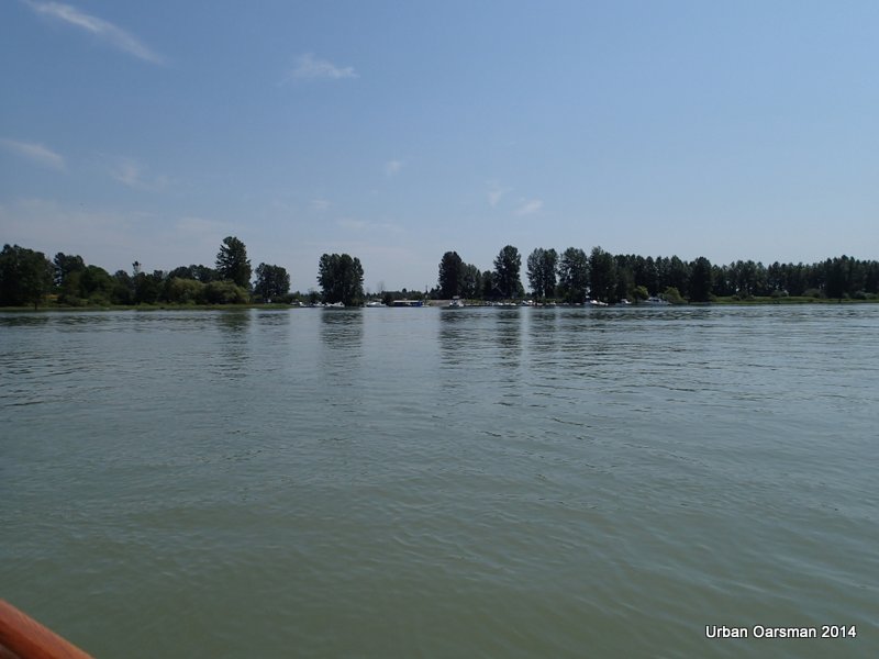
Pitt Meadows Marina in the distance.  It is on the South-East shore where Alouette River enters the Pitt River.  I am in Chatham Reach staying river right.

Baking in the Summer Sun, The Pitt River Row.

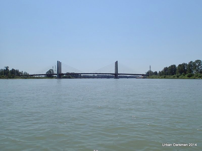
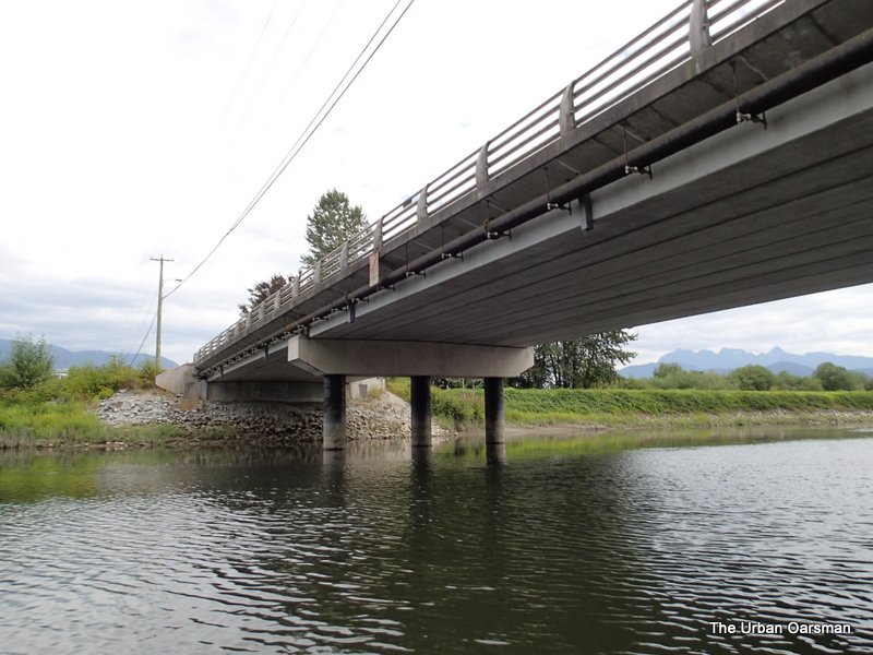
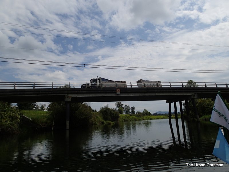
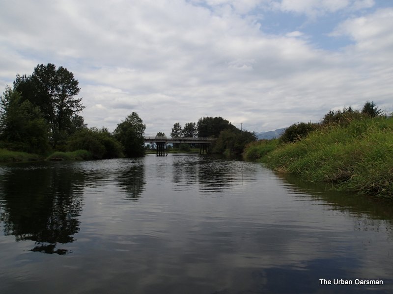
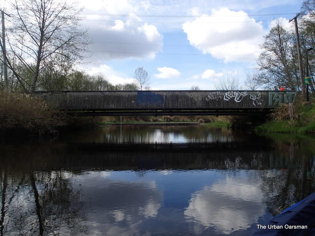
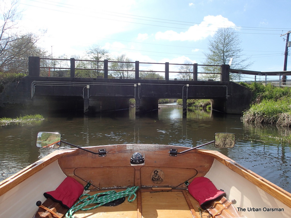
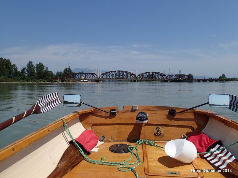
The Pitt River Bridge in the distance.

Baking in the Summer Sun, The Pitt River Row.

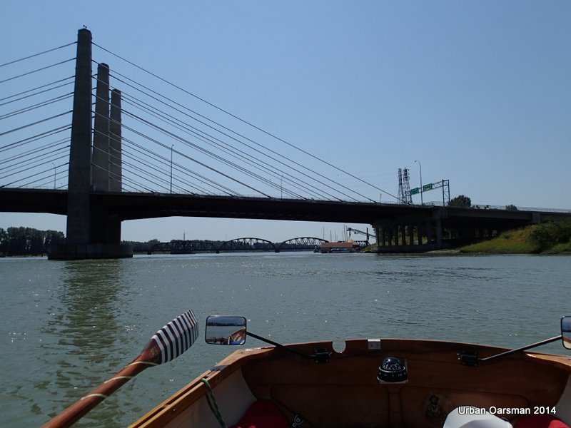
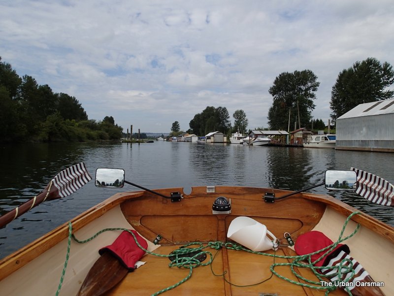
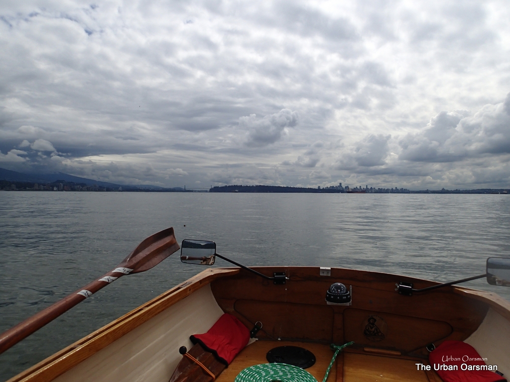
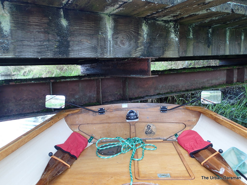
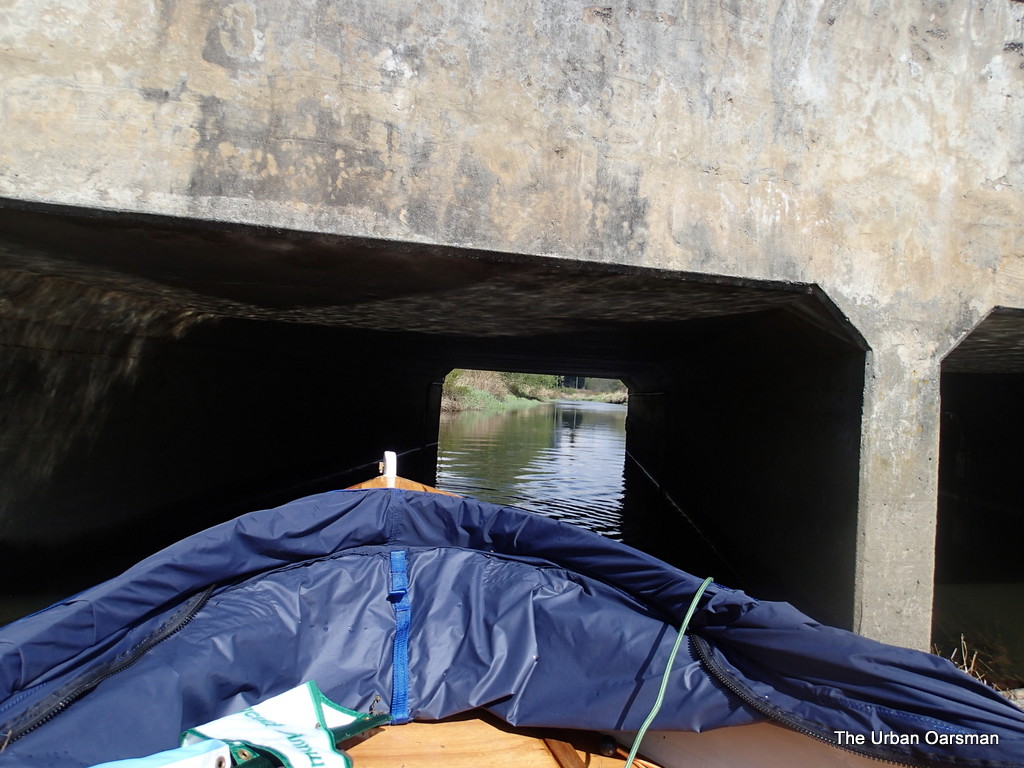
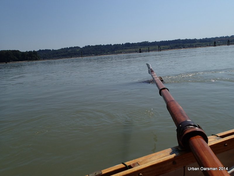
I am rowing backwards for visibility, keeping river right as I pass under the bridge.
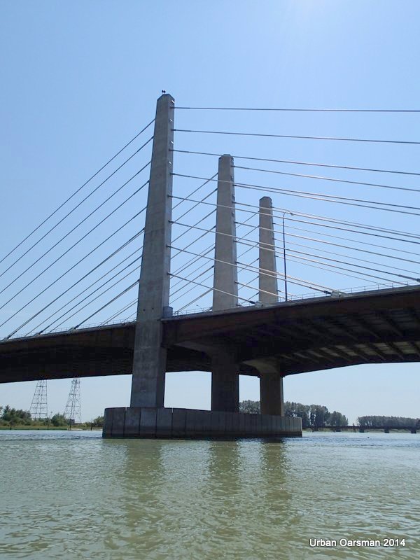
Baking in the Summer Sun, The Pitt River Row.

Almost under…….

Baking in the Summer Sun, The Pitt River Row.

Under the Pitt River Bridge.  Current speed is 3 kh/hr.

Baking in the Summer Sun, The Pitt River Row.

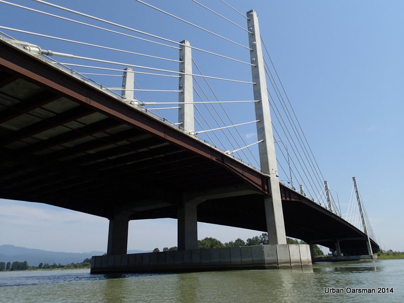
On the South side of the Bridge.

Baking in the Summer Sun, The Pitt River Row.

Fifth leg of row.

Baking in the Summer Sun, The Pitt River Row.

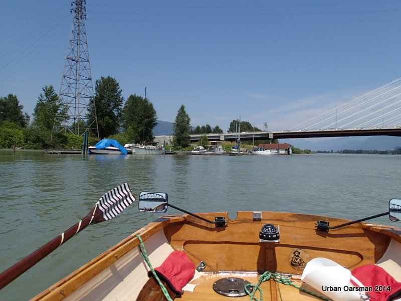
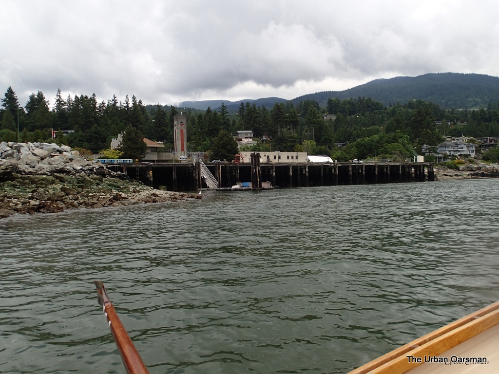
Looking North, up river at the Pitt River Marina.

Baking in the Summer Sun, The Pitt River Row.

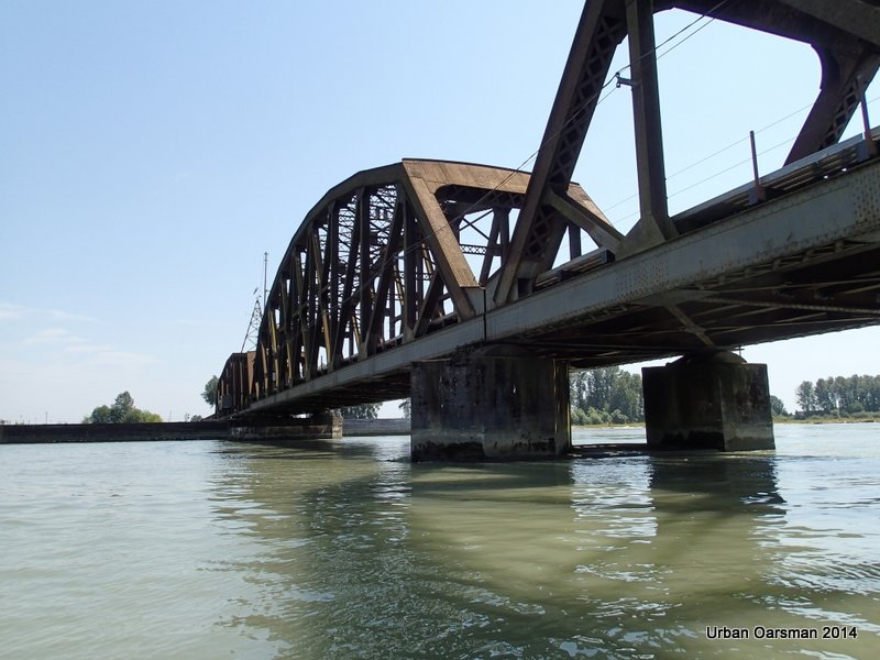
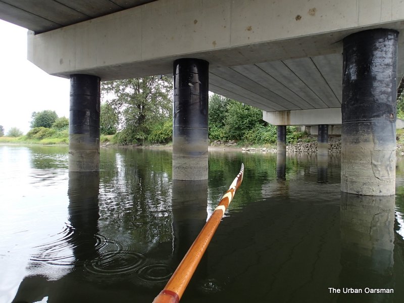
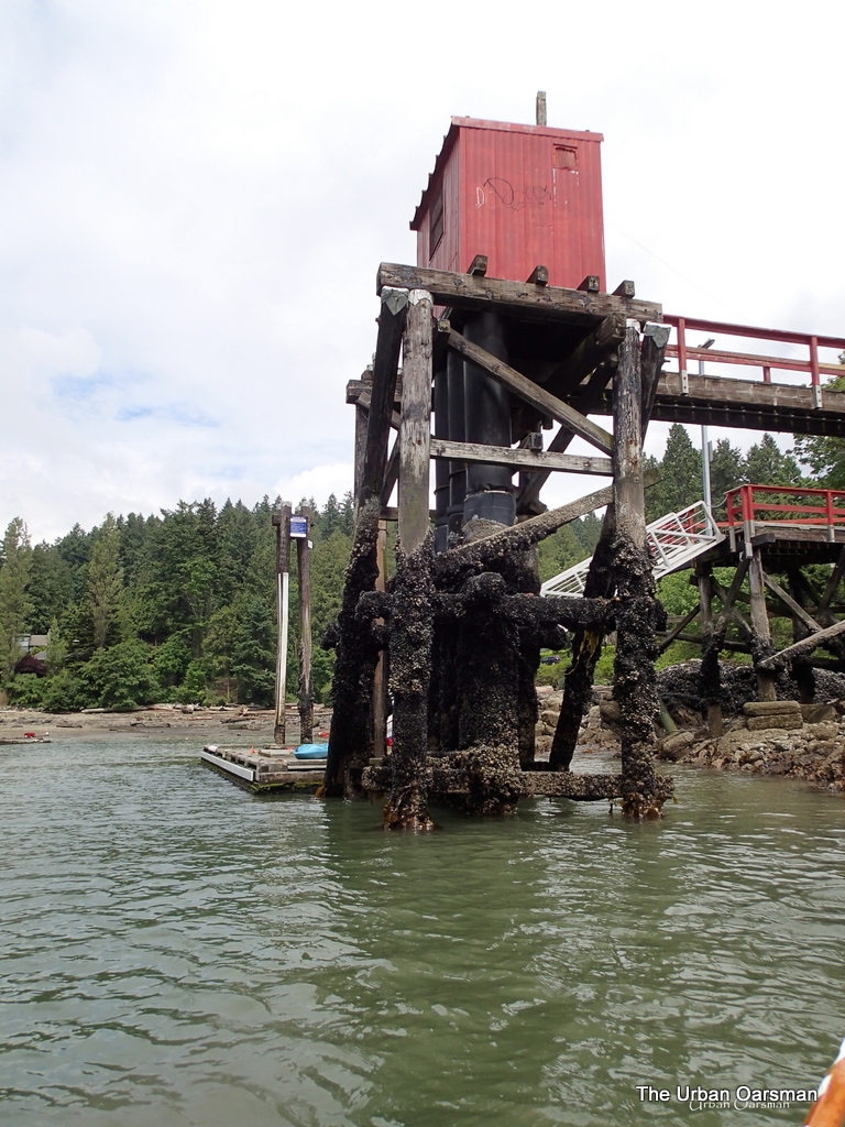
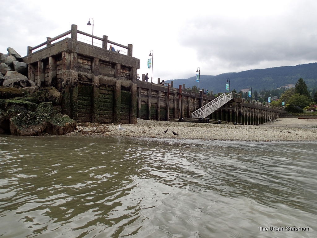
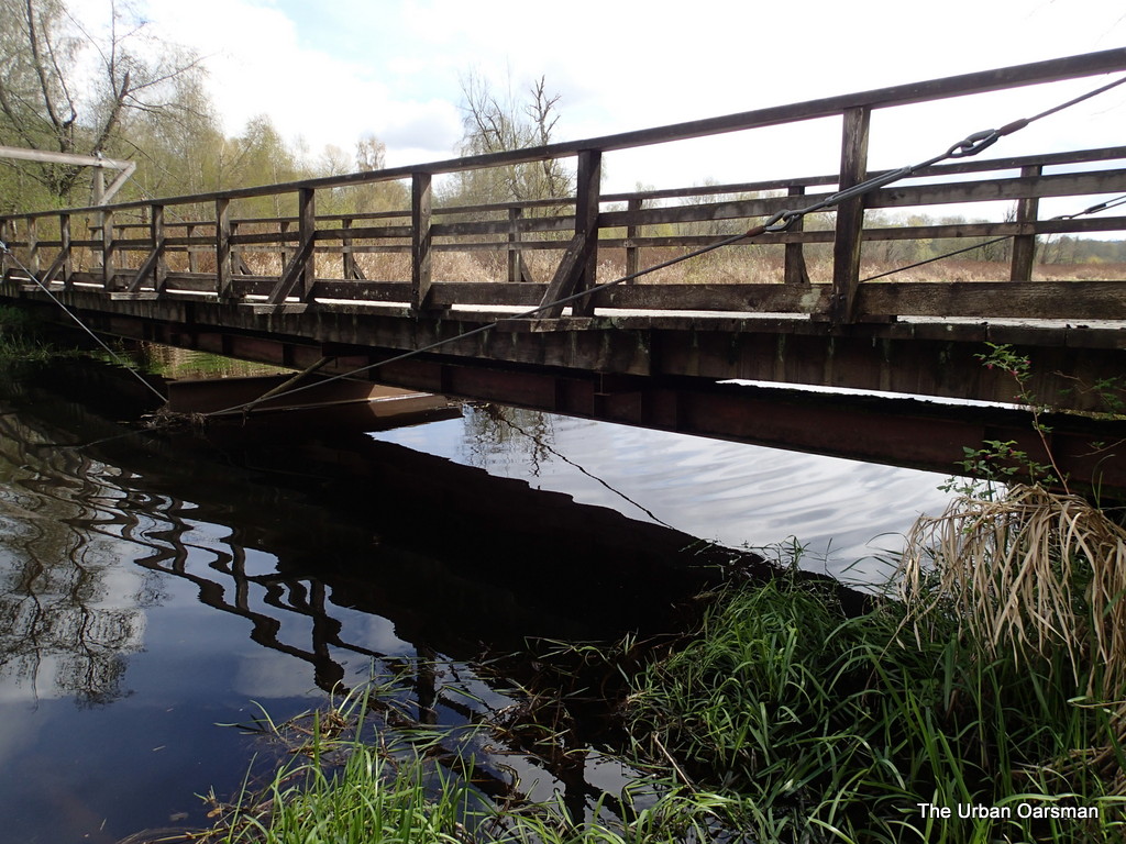
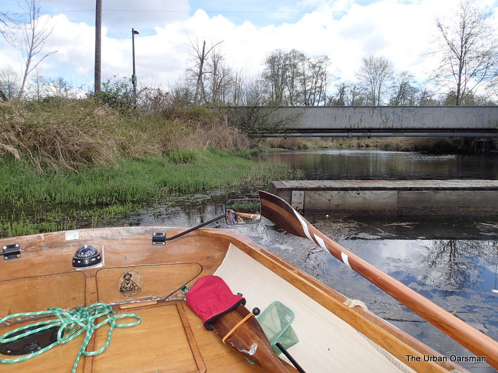
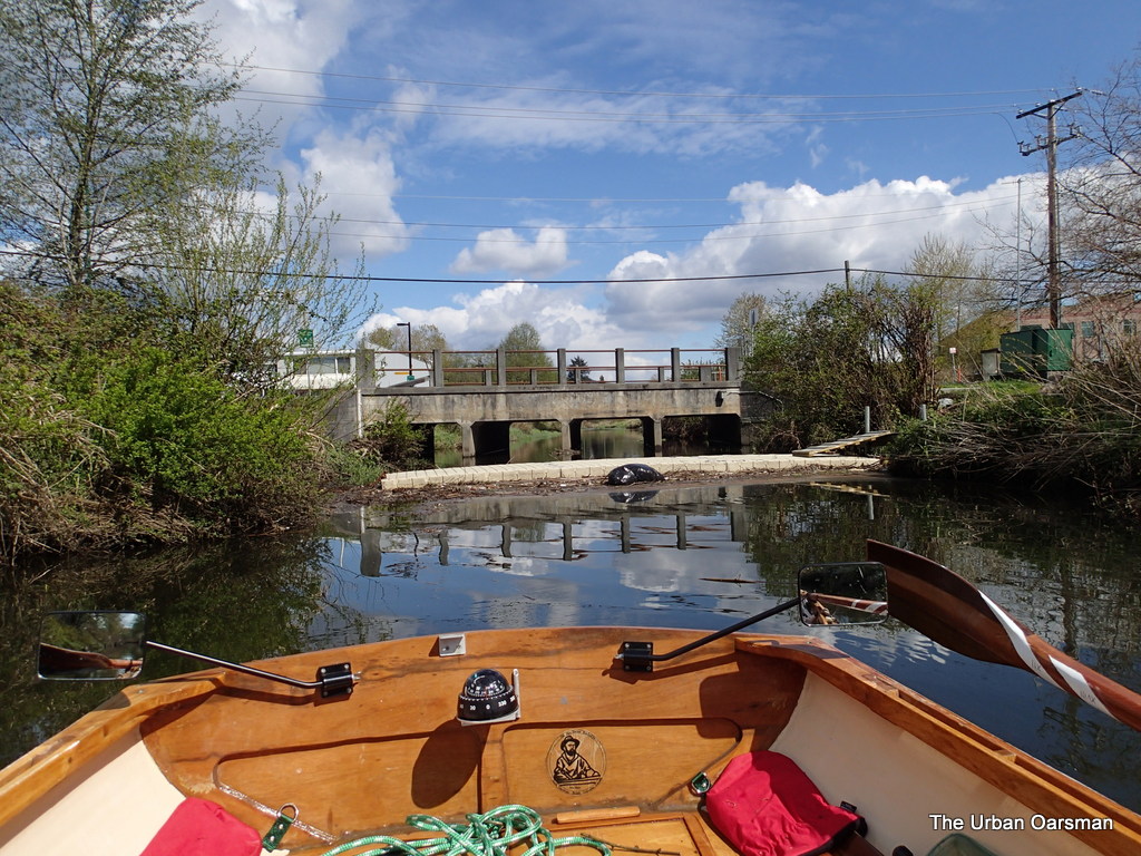
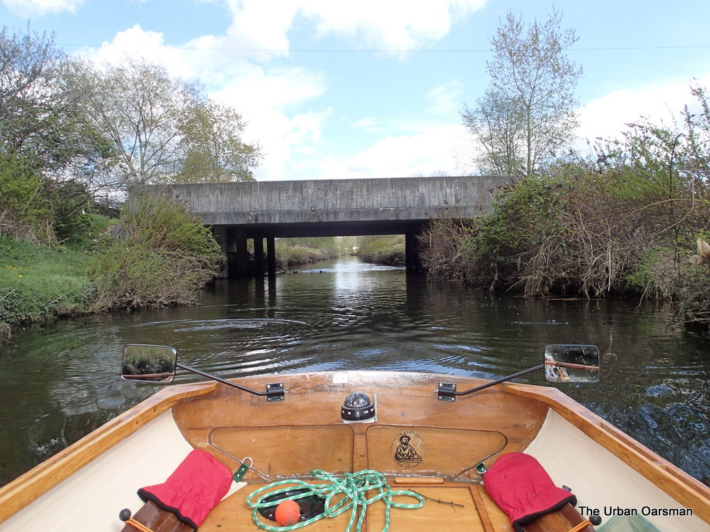
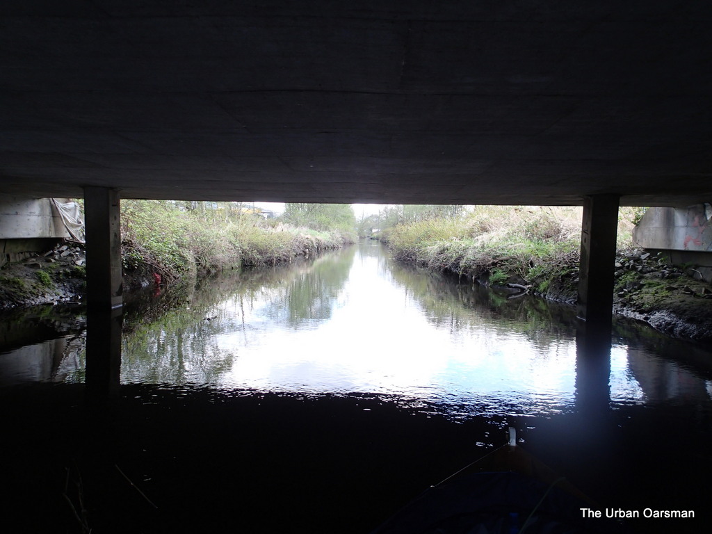
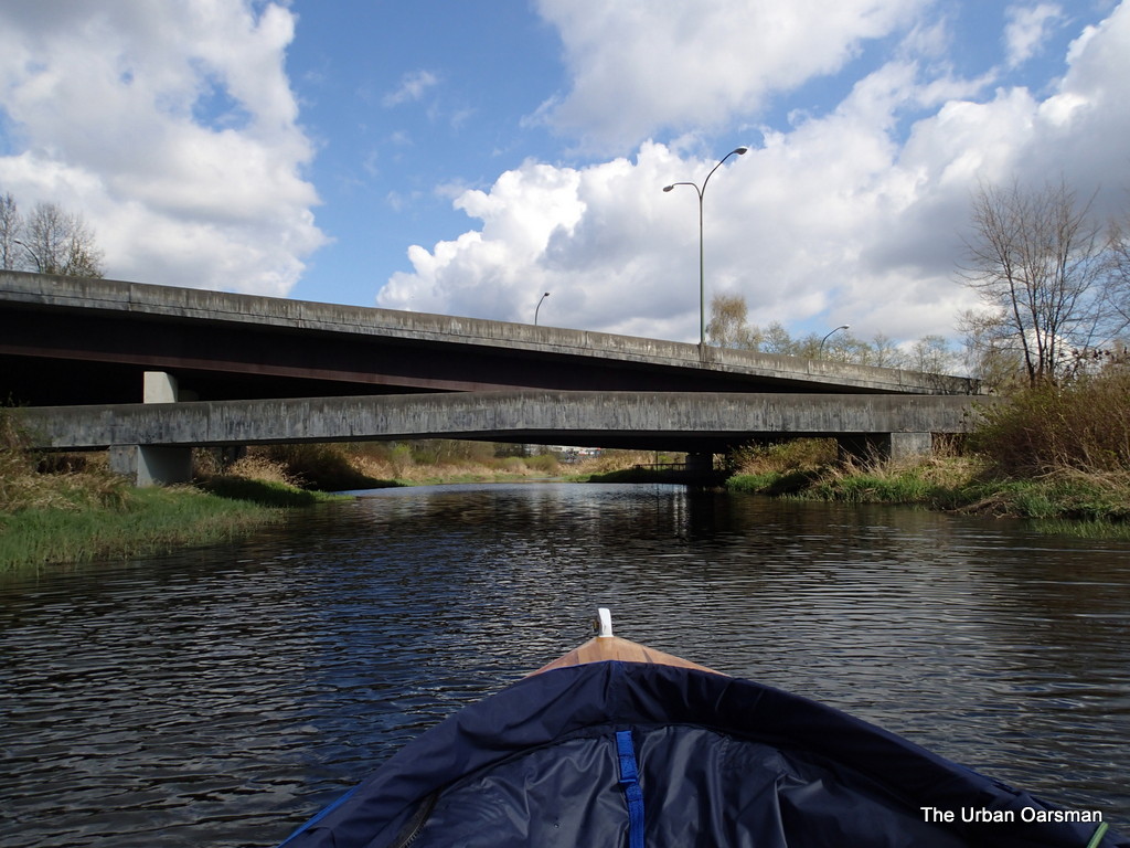
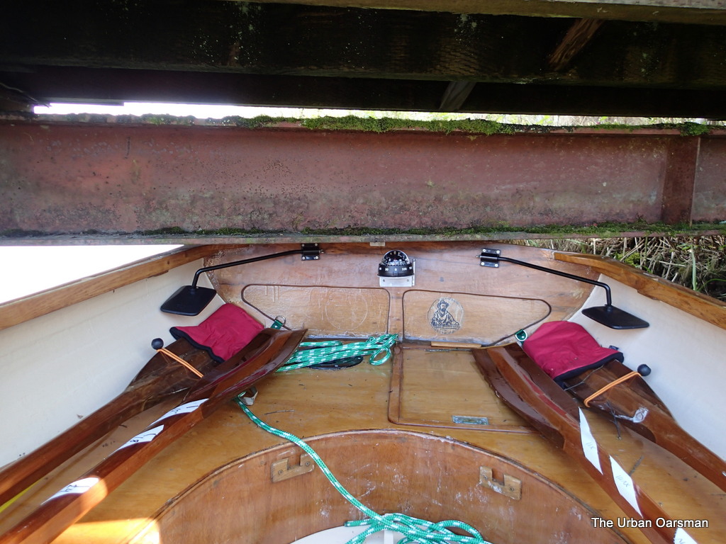
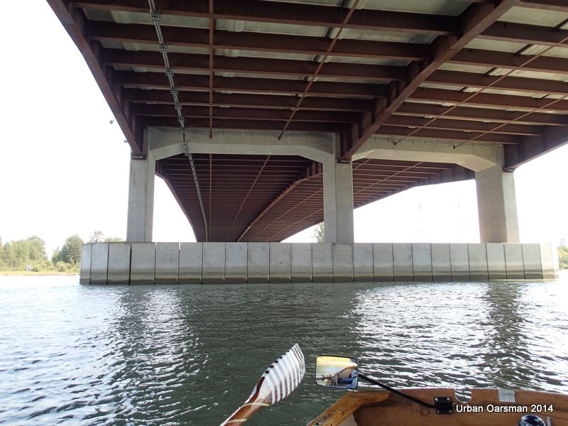
Going under the Railway Bridge.  The Pitt River water level gauge is in the long footing in the background on the south end.  I am still staying river right.

Baking in the Summer Sun, The Pitt River Row.

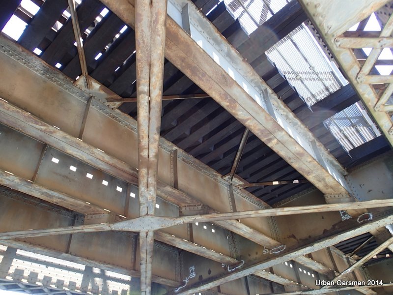
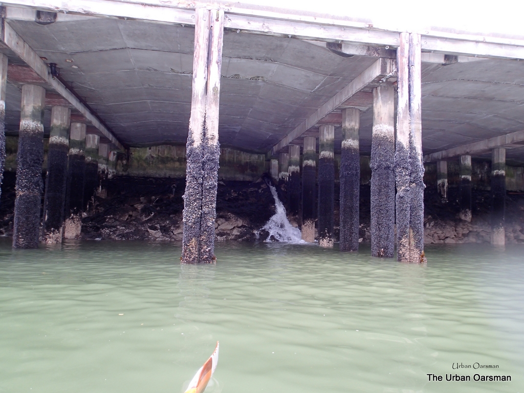
Looking at the underside of the railway bridge.

Baking in the Summer Sun, The Pitt River Row.

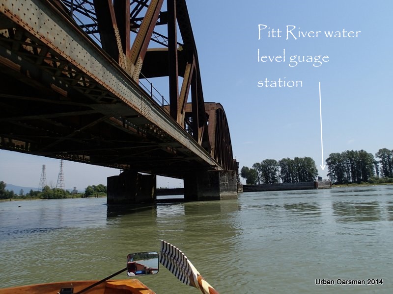
Where the water gauge station is located.

Baking in the Summer Sun, The Pitt River Row.

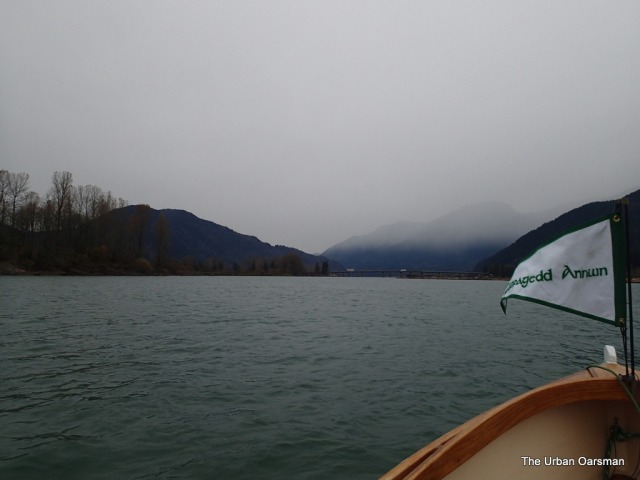
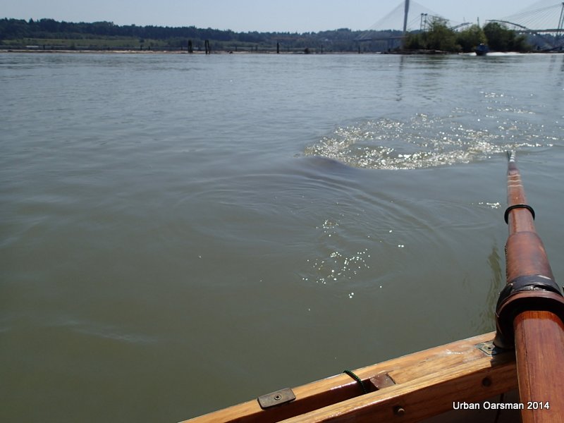
Leaving the bridges behind.  There is almost 4 km/hr of current and the wind has stopped.  It sure is hot with no cooling breeze.  I have another iced tea.  I brought with me two liters of water and nine 710 ml bottles of iced tea.  Only four bottles of the iced tea were in the cooler.  Well better warm iced tea that no iced tea.

Baking in the Summer Sun, The Pitt River Row.

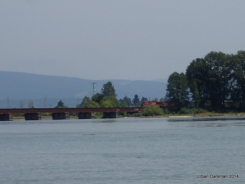
A train starts to cross the railway bridge.  Glad that I am not under it now.

Baking in the Summer Sun, The Pitt River Row.

Log booms to river right.  I must be careful not to get stuck by the current against them.

Baking in the Summer Sun, The Pitt River Row.

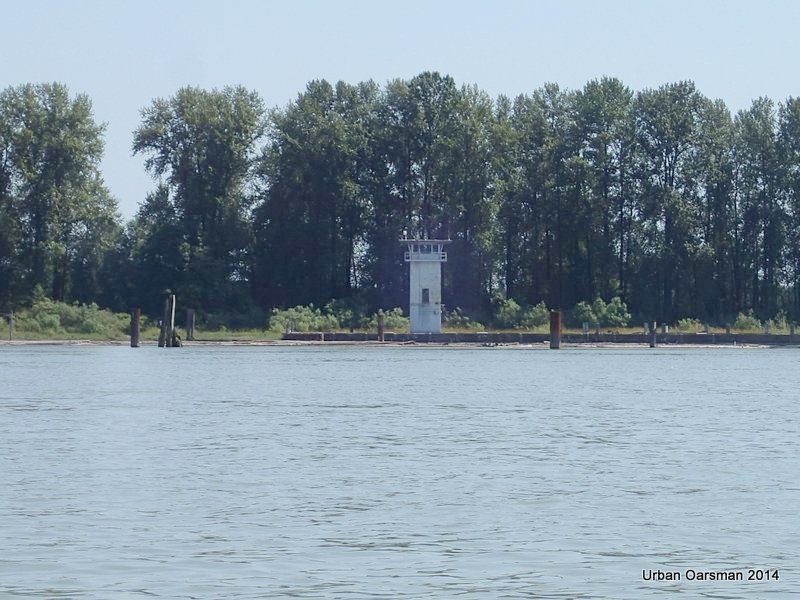
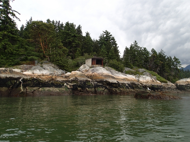
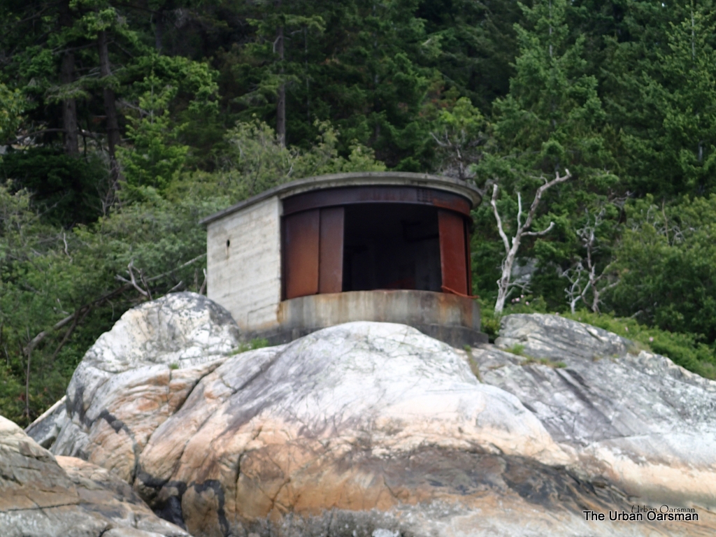
Strange looking building on the East shore.  Looks like a traffic-control tower.

Baking in the Summer Sun, The Pitt River Row.

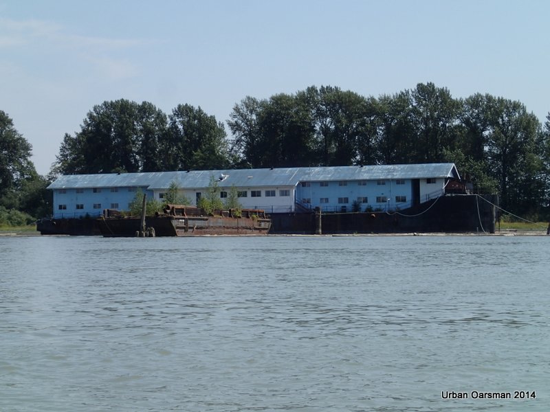
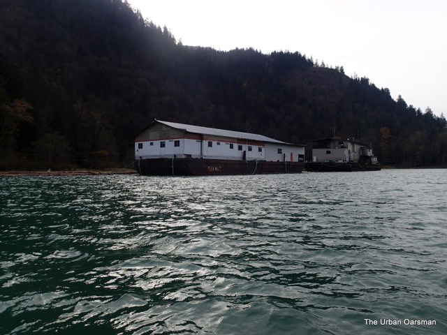
Barges moored to river left.

Baking in the Summer Sun, The Pitt River Row.

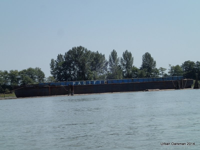
Not all of the barges look derelict.

Baking in the Summer Sun, The Pitt River Row.

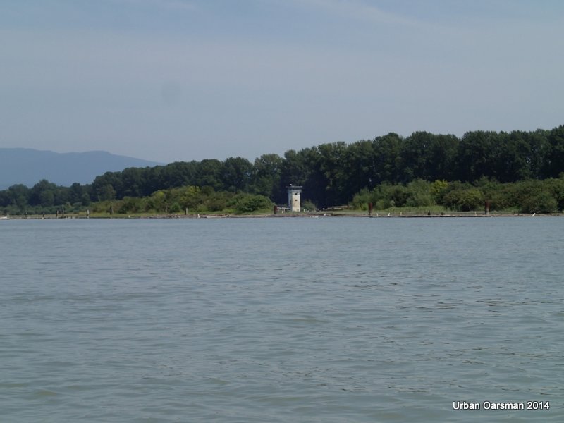
Leaving the “traffic-control” building behind.

Baking in the Summer Sun, The Pitt River Row.

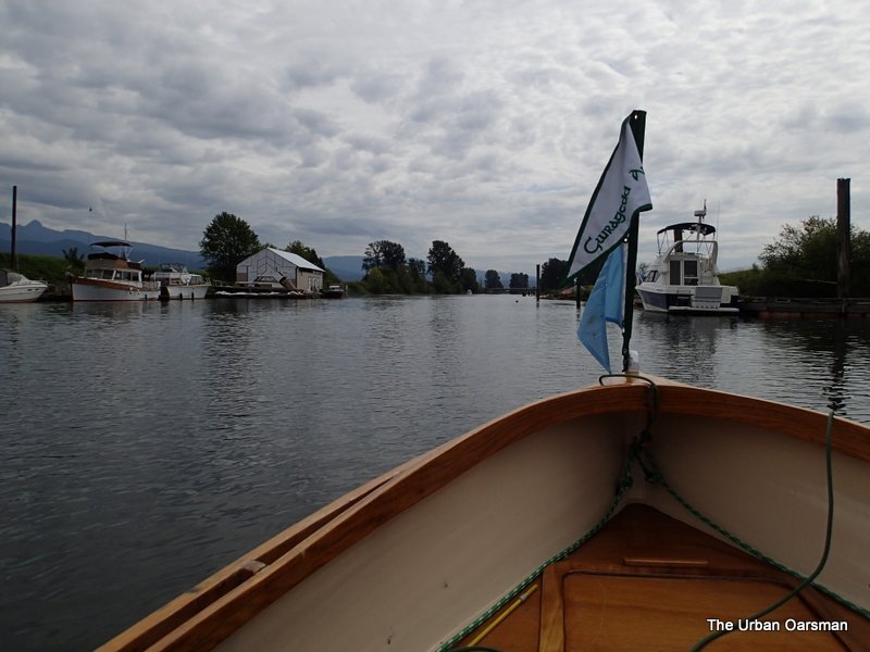
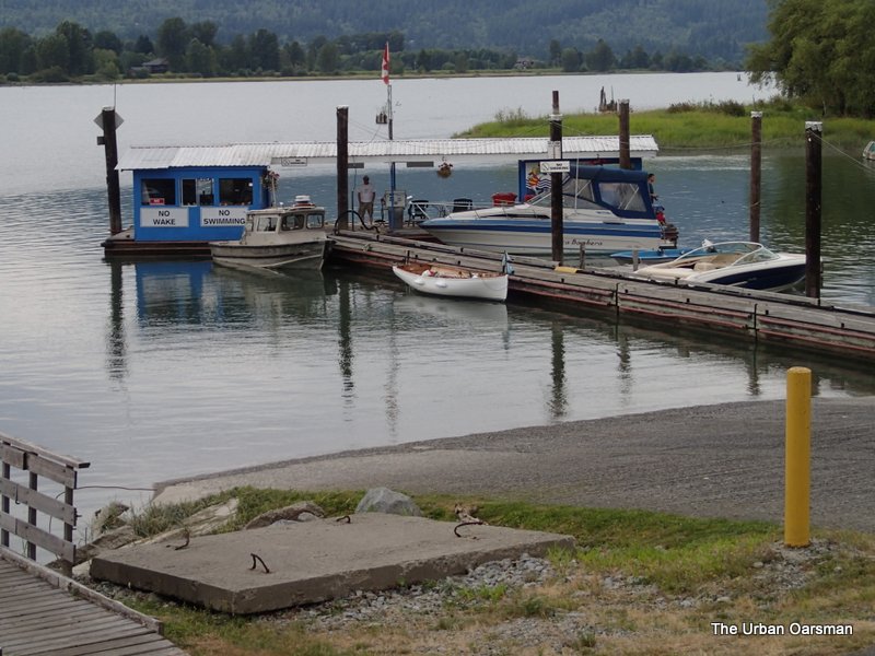
Passing by the Marina by the Gillnetter Pub.

Baking in the Summer Sun, The Pitt River Row.

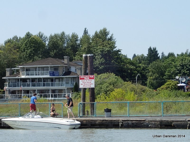
The Gillnetter Pub dock.  Next row I will stop here for lunch.

Baking in the Summer Sun, The Pitt River Row.

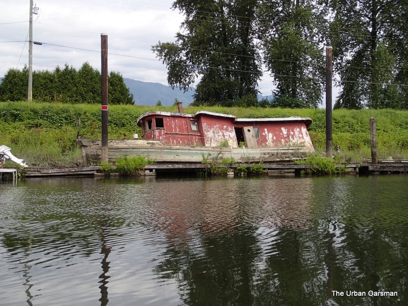
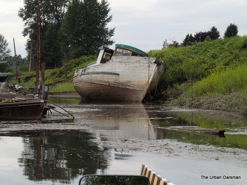
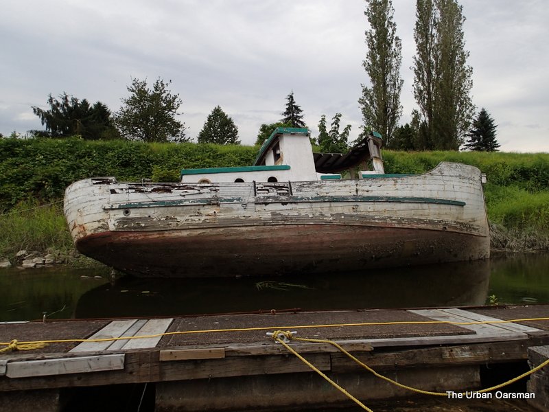
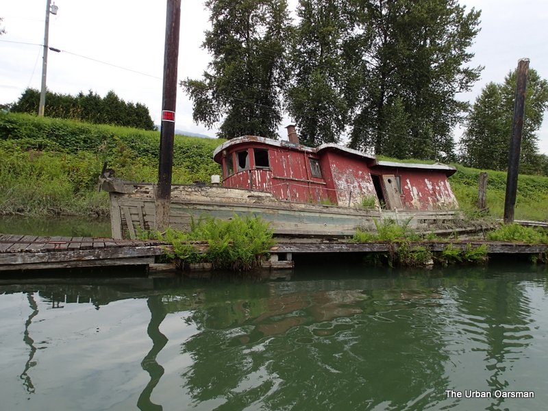
Sad ending for a clinker putt-putt boat.

Baking in the Summer Sun, The Pitt River Row.

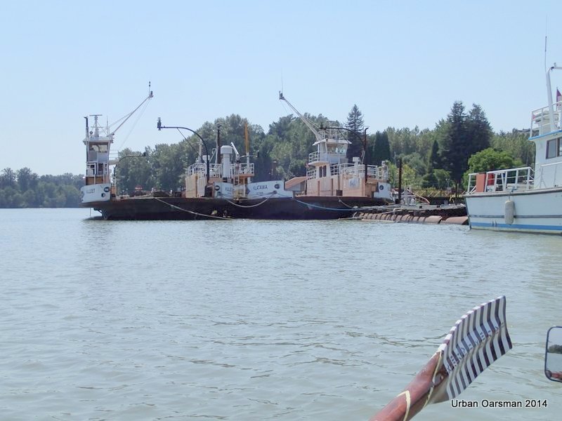
Two mothballed Albion ferries, the Kulleet and the Klatawa at Tidal (Harken)Towing.  Their route used to be between Albion to Fort Langley.  It was discontinued when the Golden Ears Bridge was opened on July 31st, 2009. They were transit ferries.

MV Kulleet
Built: 1972, Vancouver BC. Length: 47.46 m (155’8″)
Power: 650 hp Service Speed: 10 knots
Gross Tonnage: 355.04 Car Capacity: 26
Passenger & Crew Capacity: 150
Route: Albion to Fort Langley.  Discontinued.
MV Klatawa
Built: 1972, Vancouver BC.  Length: 47.46 m (155’8″)
Power: 650 hp Service Speed: 10 knots
Gross Tonnage: 347.58
Car Capacity: 26
Passenger & Crew Capacity: 150
Route: Albion to Fort Langley.  Discontinued.

Baking in the Summer Sun, The Pitt River Row.

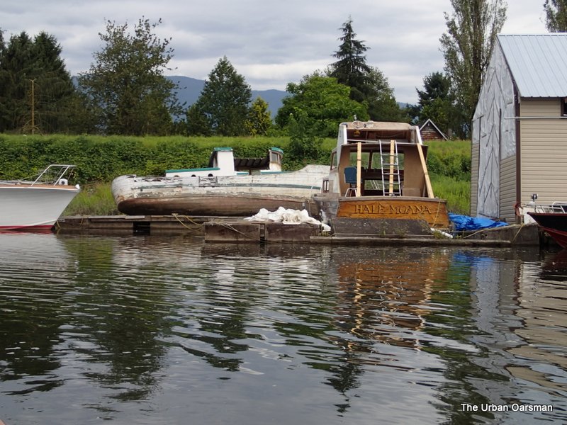
Now this is what should happen to old clinker boats.  this double-ender is probably getting better treatment than my pampered clinker putt-putt boat, “Snowdrop”.

Baking in the Summer Sun, The Pitt River Row.

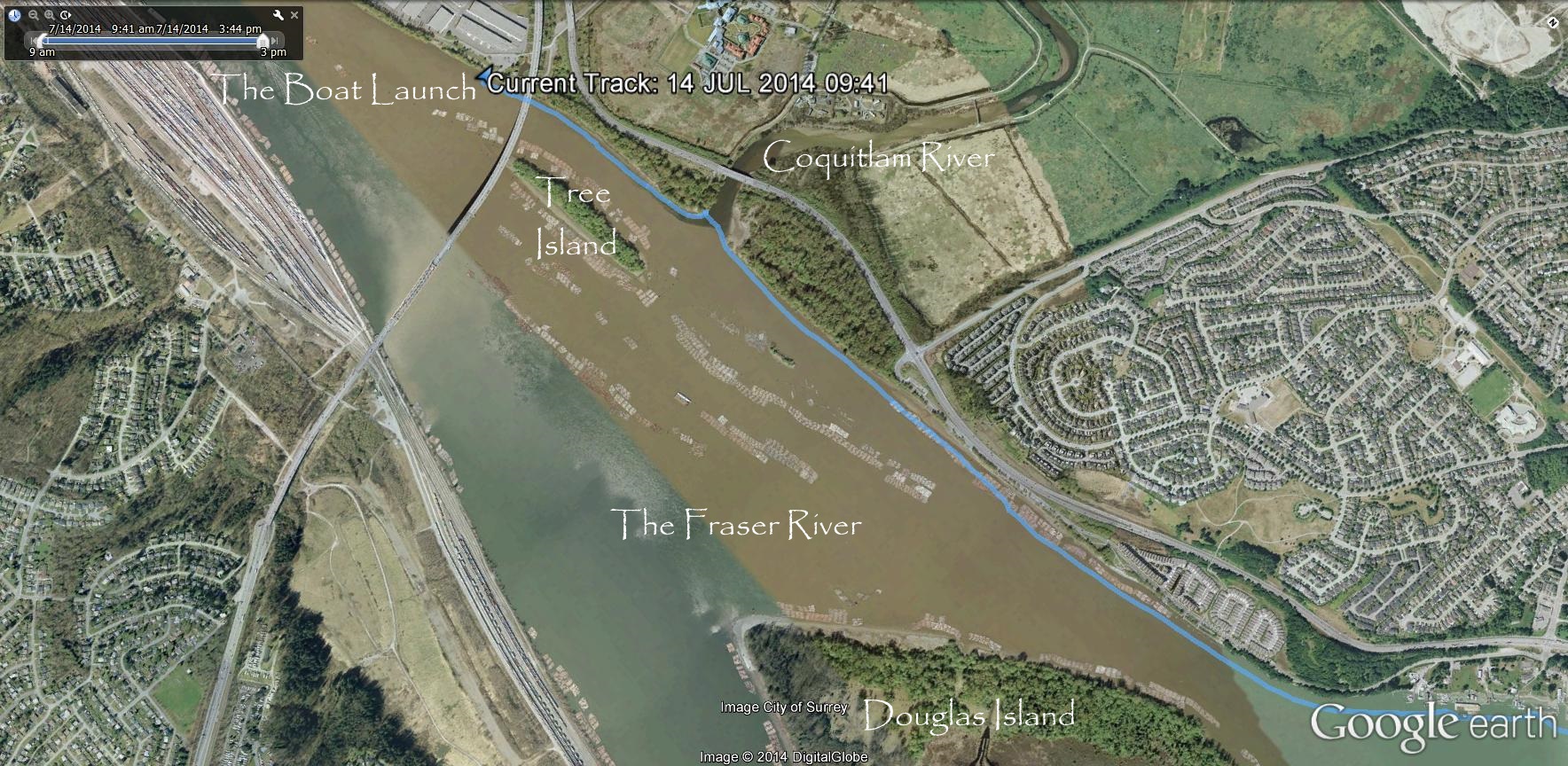
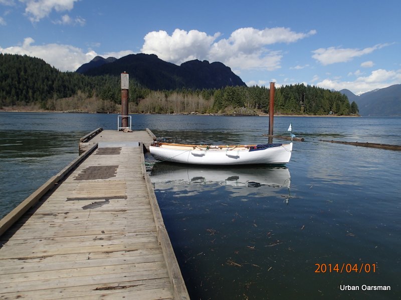
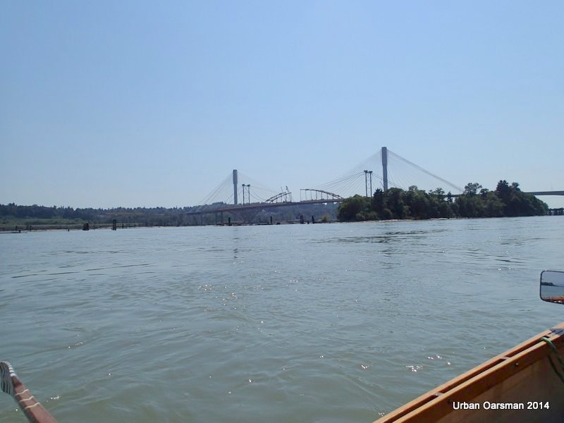
Final leg of the Row.  Ending at the Port Mann Bridge Boat Launch at Maquabeak Park.

Baking in the Summer Sun, The Pitt River Row.

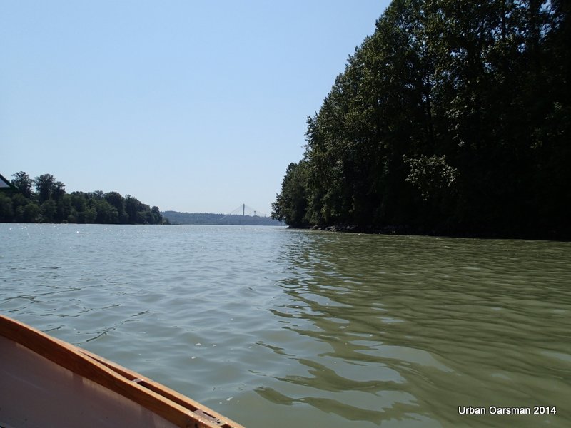
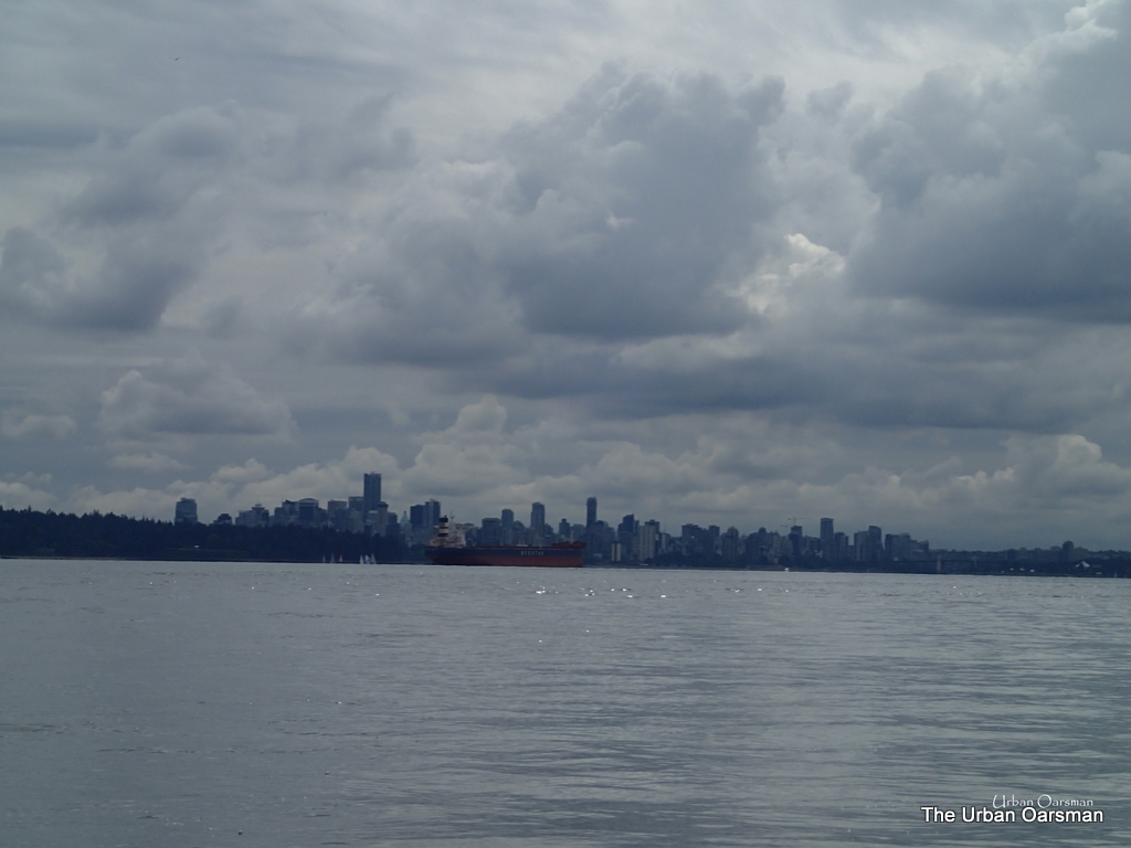
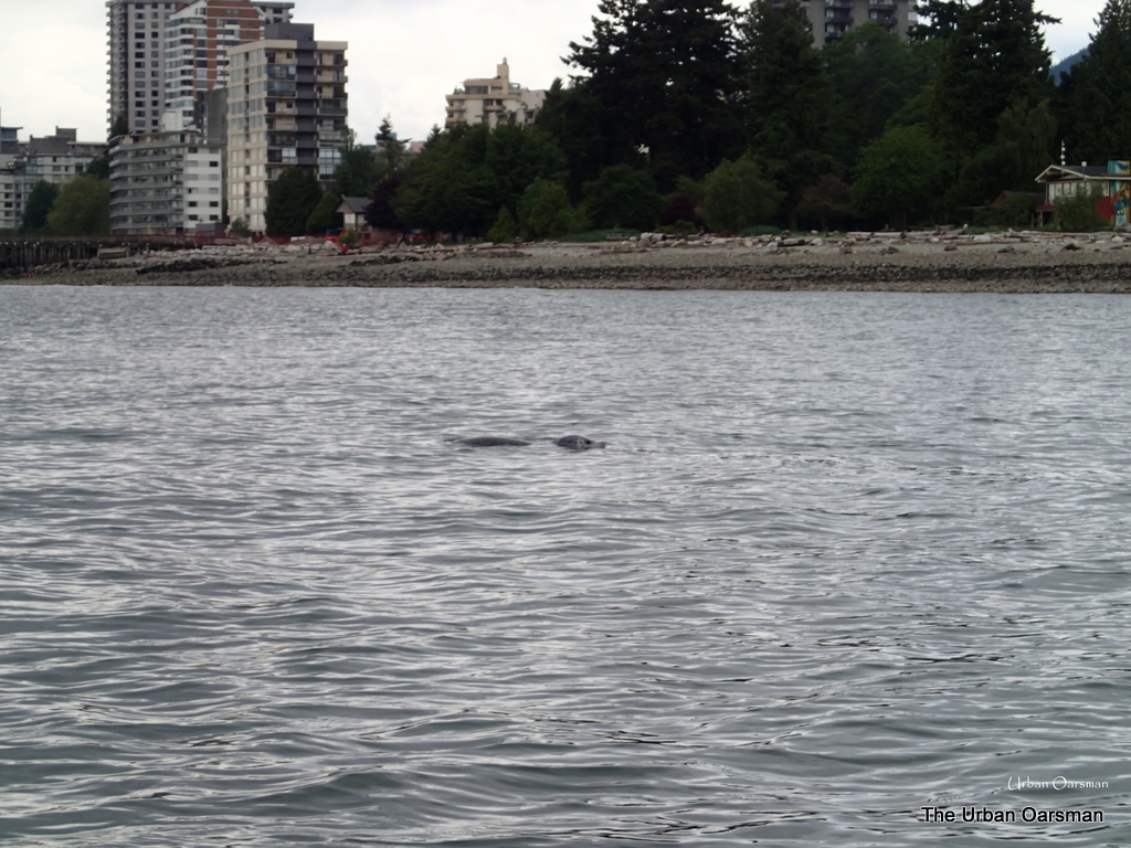
The Pitt enters the Fraser River.  The current was flowing at 8 km/hr at the point.

Baking in the Summer Sun, The Pitt River Row.

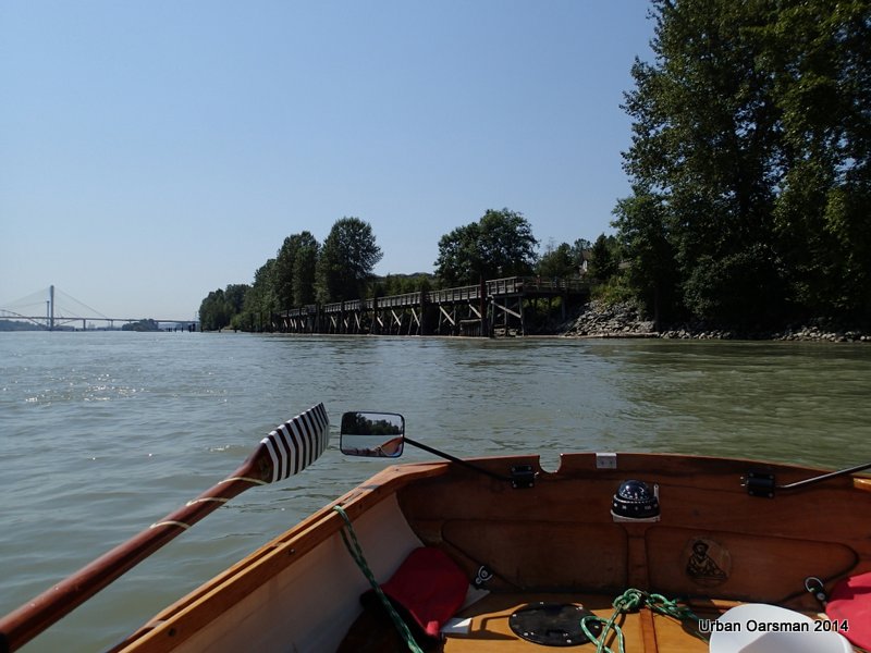
The walkway out from Traboulay Po Co trail, South of Argue Street.

Baking in the Summer Sun, The Pitt River Row.

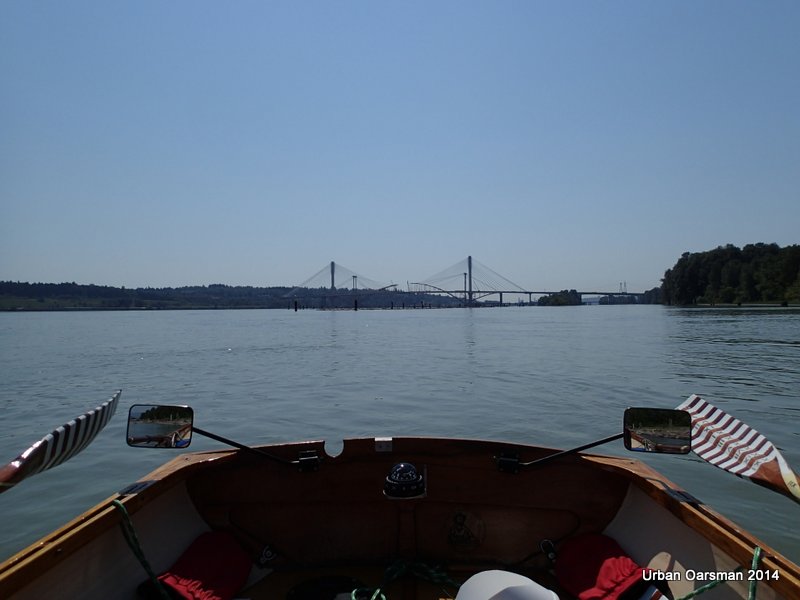
The new and old Port Mann Bridges.  I am rowing backwards here as there are many logs stuck in the mud near the Fraser’s shore.  I have to keep to river right so I do not get taken past the boat launch by the current.

Baking in the Summer Sun, The Pitt River Row.

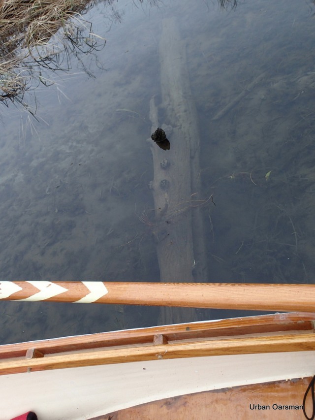
Missed that hazard!!

Baking in the Summer Sun, The Pitt River Row.

Missed that one too!!

Baking in the Summer Sun, The Pitt River Row.

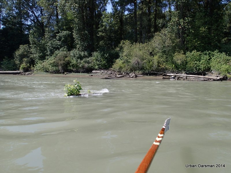
The current is running at 8 km/hr as I pass this still-growing tree.

Baking in the Summer Sun, The Pitt River Row.

View of the two bridges as I pass by Tree Island.

Baking in the Summer Sun, The Pitt River Row.

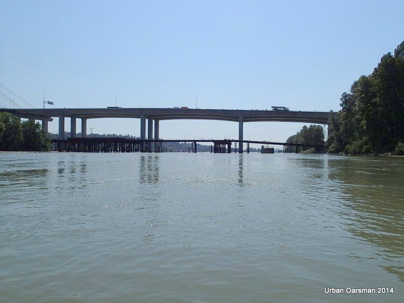
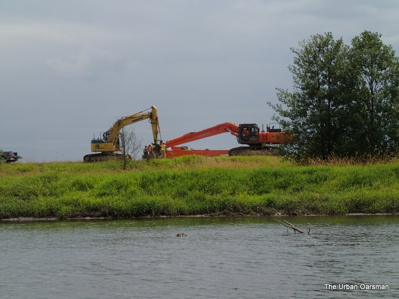
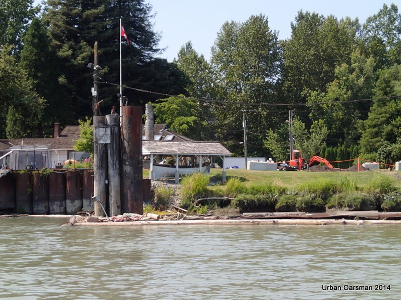
The bridge removal guys have built a bridge to the old Port Mann Bridge footings.  It is being used to remove the old bridge structure.

Baking in the Summer Sun, The Pitt River Row.

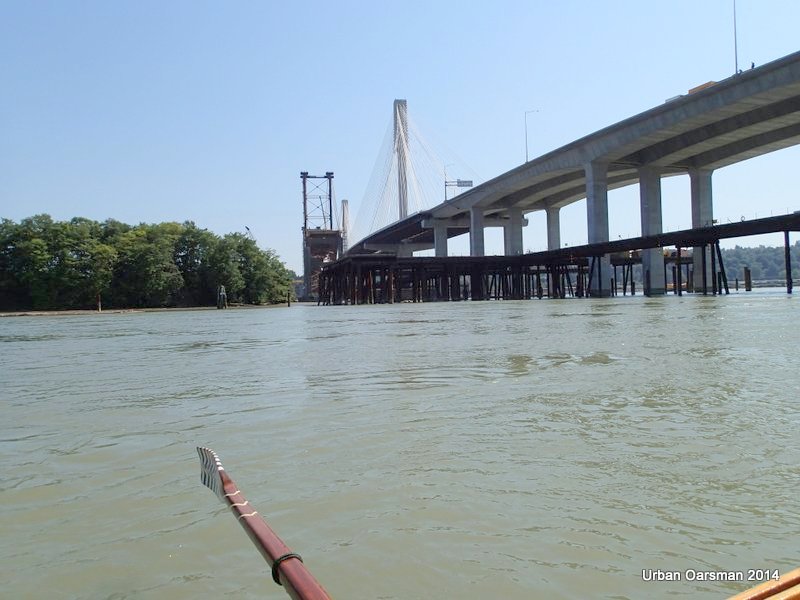
Another view of the temporary bridge structure.  It will be nice when all of this stuff is removed.  It is cluttering up the river here.  It will be nice when the boat launch is put back to normal and not being used as a bridge removal/water main installation site.

Baking in the Summer Sun, The Pitt River Row.

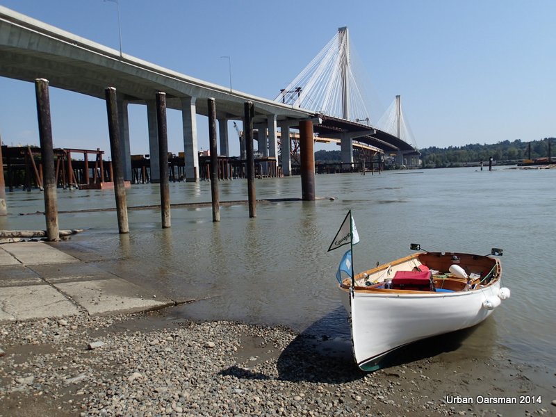
Gwragedd Annwn at the beach, Maquabeak Park (Port Mann) boat launch. The river current is flowing at 5 km/hr past the pilings in the background. The end of the row.  It has been a six hour trip.  My son, Paul will be arriving soon to pick Gwragedd Annwn and I up for the trip home.

one

Happy Rowing,

Mike

Posted in Under the Keel.... | Leave a comment

The Siwash Island Circumnavigation

The Urban Oarsman Circumnavigates Siwash Island.

Title for Siwash Island Circumnavigation

Chart image of the Row.

Tide Notes for Siwash Island Circumnavigation

Tide notes for the trip.  I am still trying to figure out the tides here. They are very effected by the flow of the Fraser and the Pitt Rivers.

Pitt Lake Water Level Graph

This water level chart for Pitt Lake was taken from the Pitt River and/et Pitt Lake chart #3062.
Some of the lowest water levels for the lake are in the winter.  I need to have a high tide to go here.

??????????????????????????????????

Crossing the Pitt River Bridge at 9:30am, January 18th, 2014. A little foggy this morning.

Siwash Island Circumnavigation Row

The route I took rowing around Siwash Island.

??????????????????????????????????

Gwragedd Annwn at the Grant Narrows boat launch dock.

??????????????????????????????????

The wind flag shows almost no wind.

??????????????????????????????????

10:23am, leaving the Grant Narrows dock. The tide is flowing 1.5 knots upstream.

??????????????????????????????????

The point North of Grant Narrows is shrouded with fog.

 ??????????????????????????????????

Until this row, I had never noticed this depth gauge at Grant Narrows.  I wonder what the scale is.

??????????????????????????????????

Artsy picture of the East shore with the sun peeking through the fog and trees.

??????????????????????????????????

A piling on the East side of Pitt River, showing the tide current flowing upstream.  The entrance to Widgeon Creek is in the fog behind.  The low shore line is Siwash Island.

??????????????????????????????????

I stitched together this panorama view of the entrance to Widgeon Creek on the West shore.

??????????????????????????????????

I row across Grant Narrows to Siwash Island.  The Island does not rise very high.

??????????????????????????????????

The upstream tidal current is not flowing as fast on this side of Grant Narrows.

??????????????????????????????????

Rowing down river against the current.

??????????????????????????????????

Downstream Pitt River.  The way is quite foggy.

??????????????????????????????????

Looking North towards Widgeon Creek Point.

??????????????????????????????????

Dead overturned boat on Siwash Island.

??????????????????????????????????

I stop rowing and let Gwragedd Annwn drift with the current.  .7 knots upriver.

??????????????????????????????????

The morning fog begins to burn off.

??????????????????????????????????

Open sky to the West.

??????????????????????????????????

The entrance to Widgeon Slough.

Siwash Island Circumnavigation Row

Google Earth picture of my route

??????????????????????????????????

Rowing into Widgeon Slough

??????????????????????????????????

Unlike Widgeon Creek, Widgeon Slough has a speed limit.

??????????????????????????????????

The dock just inside the entrance.

??????????????????????????????????

A power boat goes in for a look, the dock is in the background.

??????????????????????????????????

The first side channel heading to the South-West.

??????????????????????????????????

The second side channel heads to the South-West as well.

??????????????????????????????????

Looking North up Widgeon Slough.

??????????????????????????????????

The power boat heads back to Pitt River.

??????????????????????????????????

A floating camp.  It is in the Google Earth Picture below:

Siwash Island Circumnavigation Row

I continue North up Widgeon Slough.

??????????????????????????????????

I startle a flock of Trumpeter Swans.  They fly away up channel.

??????????????????????????????????

The sky is clearing from the North.  I am rowing into sunshine!

??????????????????????????????????

A side channel to the West.

??????????????????????????????????

The Google Earth picture shows a structure should be here.  Now there only pilings.

Siwash Island Circumnavigation Row

Google Earth image of the structure that is no longer there.

??????????????????????????????????

All that is left of the building.

??????????????????????????????????

Bird boxes up a side channel on the West side of Widgeon Slough.

 ??????????????????????????????????

Widgeon Valley to the North.

??????????????????????????????????

Widgeon Point is visible to the North.

??????????????????????????????????

I continue rowing up Widgeon Slough.

??????????????????????????????????

This is the passage to Widgeon Creek.

??????????????????????????????????

Where Widgeon Slough and Widgeon Creek connect.

??????????????????????????????????

Looking South down Widgeon Slough.

Siwash Island Circumnavigation Row

Google Earth image of where Widgeon Slough and Widgeon Creek connecting.

??????????????????????????????????

An eagle flies away from me.

??????????????????????????????????

A camping canoeist returns to Grant Narrows after a pleasurable but cold camp-out.
His canoe is powered by an electric trolling motor.
The clouds are moving in from the South.  It is getting noticeably colder.

??????????????????????????????????

The Widgeon Creek Depth Gauge.  It is showing 5 feet?  The tide is still coming in.

??????????????????????????????????

The no-trespassing cabin.

??????????????????????????????????

The tide is high enough to enter the East side channel.  The current is flowing in.

Rowing up the side channel. I row in backwards for maximum visibility.
I will take the side fork that goes to the South-East.

??????????????????????????????????

I row over the log across the channel.  I have to use my oar to push it down so I can cross it.

??????????????????????????????????

Back to the main channel.  It leads to the North-East

??????????????????????????????????

Continuing up the channel.  I run aground and turn back.  I need higher water to reach the source.

Siwash Island Circumnavigation Row

The clouds are getting lower and lower.  It is now quite chilly and I put on my wind breaker and scarf.

??????????????????????????????????

Passing by the Widgeon Creek Depth Marker on the way back to Grant Narrows.

??????????????????????????????????

Thirty minutes later I am at the Grant Narrows Depth Gauge.  5 feet?

??????????????????????????????????

The water level is up to the top mark on the ramp.

??????????????????????????????????

The tide does look to be very high.

Siwash Island Circumnavigation Row

Side by side pictures of the Grant Narrow Water Level Gauges.  The tide did come in during my row.

Rowing around Siwash Island took about 2.5 hours.

A wonderful way to spend the day.

The Urban Oarsman rows at dusk


Posted in Under the Keel.... | Leave a comment

Widgeon Creek. The High Water Row

Title page2

I am going to Row Widgeon Creek at the highest water ever for me.  I intend to row up the western most channel between Siwash Island and the West Shore.

Widgeon Creek High Water Row

 Putting Gwragedd Annwn in at Grant Narrows.  The water level is very high.

Widgeon Creek High Water Row

 Rowing away from launch.  It is a sunny, calm day.

Widgeon Creek High Water Row

 Amazing! This boat slowed down.

Widgeon Creek High Water Row

 Looking a the shoreline where Widgeon Creek Lodge used to be.

Widgeon Creek High Water Row

 Piling at the north side of the mouth of Widgeon Creek.

Widgeon Creek High Water Row

 The no power boats sign.

Widgeon Creek High Water Row

 The water is deep everywhere.  I do not have to follow the creek channel.

Widgeon Creek High Water Row

 A canoe heads upstream.  The estuary is very wide here with the water so high.

Widgeon Creek High Water Row

 This is the highest I have ever seen the water on the stump.

Widgeon Creek High Water Row

 The depth marker piling.

Widgeon Creek High Water Row

 Six feet!

Widgeon Creek High Water Row

 Authentic beaver stick, gnawed on by B.C. beavers.

Widgeon Creek High Water Row

 The no-trespassing cabin.

Widgeon Creek High Water Row

 Rowing past the cabin.  I will take the fork towards the campsite.

Widgeon Creek High Water Row

 The side channel to the right (east) that is usually to shallow to explore.

Widgeon Creek High Water Row

 Past the fork, heading towards the campsite.

Widgeon Creek High Water Row

 The water is up to the reeds.

Widgeon Creek High Water Row

 Widgeon Creek Wildlife area sign.

Widgeon Creek High Water Row

 The skunk cabbages are some of the earliest plants to flower.

Widgeon Creek High Water Row

 Does this flotsom in the trees indicate the highest water level?

Widgeon Creek High Water Row

 This is where the channel I intend to take branches off of the campsite fork.

Widgeon Creek High Water Row

 Not a lot of water even with the water level this high.

Widgeon Creek High Water Row

 I back up the channel for better visibility.

Widgeon Creek High Water Row

 The channel widens as I leave the campsite fork behind.

Widgeon Creek High Water Row

 Continuing down the channel.  There is a lot of depth here and the rowing is easy.

Widgeon Creek High Water Row

 A shallower spot where a creek enters from the West.

Widgeon Creek High Water Row

 I touch bottom several times as I attempt to find the channel though.

Widgeon Creek High Water Row

 Moving into deeper water.

Widgeon Creek High Water Row

 Looking South-East.  The channel is deeper here.

Widgeon Creek High Water Row

 There are still shallow spots as I row on.

Widgeon Creek High Water Row

 I pull over into the reeds so the wind will not blow me back as I have a drink and a sandwich.

Widgeon Creek High Water Row

 Looking back down channel.

Widgeon Creek High Water Row

 This channel is right up against the mountain.  I am now heading back towards Siwash Island and the Pitt River.

Widgeon Creek High Water Row

 Another side channel leads back towards the mountain.

Widgeon Creek High Water Row

 The channel moves away from the mountain and South-East into the marsh.

Widgeon Creek High Water Row

 The channel is now heading almost directly East.

Widgeon Creek High Water Row

 I am looking North-East.  The line of trees is where the North Shore of where Widgeon Creek along to the Pitt.

Widgeon Creek High Water Row

 The South- West view astern.

Widgeon Creek High Water Row

 I am hugging the South bank to avoid the wind.

Widgeon Creek High Water Row

 Looking North-West.  The channel is quite wide here.

Widgeon Creek High Water Row

 The line of trees to the West marks where the channel runs along the mountain.

Widgeon Creek High Water Row

 This is where the channel connects with the channel around Siwash Island.  Siwash Island is directly ahead.

Widgeon Creek High Water Row

 There are a lot of posts crossing here in the channel.

Widgeon Creek High Water Row

 Sorta makes you wonder what the fence used to be for?

Widgeon Creek High Water Row

The channel around Siwash Island leads to the South from here.

Widgeon Creek High Water Row

 The Widgeon Creek estuary.  The stump is in the distance ahead.

Widgeon Creek High Water Row

 Sadly, the mirrors are not perfect.  I ran into this pipe rowing to the estuary. I guess that it used to have a very informative sign attached to it.  I am going to call this pipe the “Cat’s Claw”, for the scrape it put along Gwragedd Annwn’s port side.  When I circumnavigated Siwash Island on my last row here, I was rowing Gwragedd Annwn backwards, saw and avoided this hazard.  I was more to the East side of the channel.

Widgeon Creek High Water Row

 The beach by the no-trespassing cabin.

Widgeon Creek High Water Row

The depth-gauge piling.  During the hour and a half that the row has taken, the water level has dropped six inches?

Widgeon Creek High Water Row

 I am going to see where the side channel to the West of the no-trespassing cabin leads.

Widgeon Creek High Water Row

 Too shallow to go over the logs, must go around.

Widgeon Creek High Water Row

 At times, a tight fit.

Widgeon Creek High Water Row

 Around the first set of logs,

Widgeon Creek High Water Row

 Squeeze past the second set,

Widgeon Creek High Water Row

 Push through the reeds,

Widgeon Creek High Water Row

 Looks wider ahead.

Widgeon Creek High Water Row

 Into the wide spot.  The water is quite shallow here.

Widgeon Creek High Water Row

 Almost at the end of the line.

Widgeon Creek High Water Row

 The water is too shallow to continue on a falling tide.

Widgeon Creek High Water Row

 Back past the logs.

Widgeon Creek High Water Row

 Almost back to the channel in front of the no-trespassing cabin.

Widgeon Creek High Water Row

 I think that it always looks prettier at high water.

Widgeon Creek High Water Row

 There is still enough water to try the first side channel to the North-East.

Widgeon Creek High Water Row

 I am in the channel. I am going to see how far I can get.

Widgeon Creek High Water Row

 Wide and shallow here.

Widgeon Creek High Water Row

 I continue heading up, travelling North-East.

Widgeon Creek High Water Row

 Some sort of barrier.  It is made of rocks.

Widgeon Creek High Water Row

 Can I slip by?  There is clear water on the other side.

Widgeon Creek High Water Row

Just enough room on the starboard side to slip by.

Widgeon Creek High Water Row

 The channel carries on beyond the barrier.

Widgeon Creek High Water Row

 Close-up showing how high the water got on this tide.  I have to be careful so I do not get stuck beyond the barrier on a falling tide.

Widgeon Creek High Water Row

Rowing backwars for better visibility, I leave the barrier behind and explore up the channel

Widgeon Creek High Water Row

 Past the barrier, looking South to where I have come from.

Widgeon Creek High Water Row

 looking North-East up channel.

Widgeon Creek High Water Row

Near the end of the navigable channel on this tide.  It seems to go right up to the edge of the hill.  I will have to try this on a higher tide.

Widgeon Creek High Water Row

 Back down the channel with the outgoing tide.  There is a current flowing out of the channel and into Widgeon Creek.

Widgeon Creek High Water Row

 The water is still quite deep where the side channel enters the main Widgeon Creek channel.

Widgeon Creek High Water Row

 The scum-line on the logs suggest that the water has been nearly two feet higher that it is now.  The water has fallen over a foot from its highest point today.

Widgeon Creek High Water Row

 The canoeists head home too.

Widgeon Creek High Water Row

 Good-bye no-trespassing cabin.

Widgeon Creek High Water Row

 The depth gauge piling showing a water drop of over a foot in the three hours I have been rowing here.

Widgeon Creek High Water Row

 The stump shows a drop in water too.

Widgeon Creek High Water Row

 The estuary is still quite deep.  It is beginning to shallow and I stay close to the channel.

Widgeon Creek High Water Row

 Leaving Widgeon Creek Behind.

Widgeon Creek High Water Row

 There is a breeze up river as I cross to Grant Narrows.

Widgeon Creek High Water Row

 Gwragedd Annwn awaits for her trailer tied to the dock.

Widgeon Creek High Water Row

 Taking Gwragedd Annwn out.

Waterlevels at the guage

 Composite photo of the Gauge piling showing water levels during the row.

Widgeon Creek High Water Row

 Ready to be secured for the trip home.

Urban Oarsman

Good rowing to you.

Mike


Posted in Under the Keel.... | Leave a comment

The Urban Oarsman asks: “How deep is the water?”

??????????????????

As an Urban Oarsman, you will occasionally want to know how deep is the water that you are rowing in.
What is the easiest way to do this you ask? Depth Sounder Oars are the answer.
Turn your oars into a depth sounding device. There are two methods:

Method one:

Turn your oars into a Depth Sounding device by marking one oar with lines 1” thick on the blade.

It helps to mark the lines with the depth (I use inches) so you know at a glance how deep the water is.

To use: Hold oar with both hands and stick upright into water. Read depth from scale on blade.
Note: this only works in water as deep as the scale is on the oar.

How useful is this you might well ask?…well not very…

Why?,
1. Well Gwragedd Annwn needs eight to ten inches of water to float in. If she is not floating I already know that she is in less than eight to ten inches of water.
2. You have to stop rowing and take the oar out of the oarlock to use the Depth Sounder Oar.
3. You have to stand up in the boat to use the Depth Sounder Oar.
4. The scale on the blade does not go very deep:

 ??????????????????

Method two:

Is there a better way? A way to measure the depth and row at the same time? Yes there is.
Let me explain…

While I was rowing in the pitch-black waters of Burnaby Lake, I noticed that sometimes my oars were striking the bottom as I rowed along. The water was so black that I could not see through it to the bottom below, even in eight inches or less of water. I would just notice that Gwragedd Annwn would stop moving and the oars were churning up mud because she had run aground in the weeds and mud in the shallows of Burnaby Lake.

I noticed that the angle of my oars had a correlation to the depth of the water. When my oar blades were covered to the shoulder of the blade by the water, I was in about twelve inches of water. The deeper my oar stroke, the deeper the water. It was not hard to figure out the angle and the corresponding depth.

I did this the easy way, I put Gwragedd Annwn up on the beach at HSC and blocked her up so she was level and her waterline was at twelve inches above the beach. I then put her oars in the oarlocks and measured up from the beach to waterline and marked each oar. When she was on her road trailer, I measured to determine where the waterline would be on the oars for eighteen and twenty-four inches of depth. I marked my oars with white tape at Twelve, Eighteen and Twenty-four inches of depth.

See photos:

??????????????????

Gwragedd Annwn’s oar marked for Twelve Inches of depth.

This is my normal rowing stroke. I put the oars down between eight to twelve inches deep.

The water line is at the shoulder of the blade. The first stripe of tape is at the waterline, at twelve inches.

??????????????????

Gwragedd Annwn’s Oar marked for Eighteen Inches of depth.

If I bury the oar to the second strip of tape, the oar tip is at Eighteen inches below the waterline.

If I touch bottom with the oars, I know that I am rowing in Eighteen inches of water and I have about ten inches of clearance from the keel to the bottom.

??????????????????

Gwragedd Annwn’s Oar marked for Twenty-four Inches of depth.

If I bury the oars to the third strip, I am in Twenty-four or more inches of water.

Notice the steep entry angle of the oars…”Rowing over Stumps” to quote Philip Bolger.

Rowing Gwragedd Annwn is good in any water twelve inches or deeper. The oar blade is fully immersed and the angle at the oarlocks is easy to row with.
Once you have found where to put your stripes, get some one inch wide painting tape and mask off your oars. Be sure to mark the aft or inside of the oar so you can see the stripes as you row. You could do as I did, mark the forward or outside face of the blade with the horizontal strips every inch (or whatever measurement you like) and the aft or inside face with the angled stripes.

Paint the oar stripes white. Let dry. Mark the stripes with the measurements.

You can use waterproof white tape instead of painting if you like.

Go rowing. Bury your oars to test the depth. Take a stroke on the oars to sound the lead.
Two feet or more? Good Rowing.

Mike

Coming soon…Pogies; Internet hoax or a cold weather rower’s best friend?

?????????????

Posted in Under the Keel.... | Comments Off on The Urban Oarsman asks: “How deep is the water?”

The Urban Oarsman rows the Maelstrom to Lighthouse Park

The Urban Oarsman rows the Maelstrom to Point Atkinson, Lighthouse Park


When the tide is ebbing out of Burrard Inlet, there is quite a current running out of harbour from Lions Gate Bridge. The current flows along the West Vancouver Shore, tapering off near Lighthouse Park. The maximum predicted current for today is 5.5 kts at 10:29 this morning. Here is the tide table for Point Atkinson from the Fisheries and Oceans Canada site:

2013-05-26  Sunday

Time                                   Height

PDT                 (m)                  (ft)
00:53                 3.2                   10.5
05:51                 4.5                  14.8
13:09                0.2                    0.7
20:31                4.7                  15.4

I intend to ride the current out to Lighthouse Park and then ride the flood back into the harbour. I will launch around 10:00am and start the return trip from Point Atkinson when the tide eases. I will row along the shore in the back eddies until the tide begins to flood and then row out into the harbour to ride the current back to Hollyburn Sailing Club. Here is an overview of the currents flow:

Flood and Ebb tide flow

At 9:30am I put Gwragedd Annwn in at HSC and row out into the Maelstrom.

This is a short clip of Gwragedd Annwn riding the current past the “Beach House” restaurant beside Dunderave Pier at the foot of 25th Street, West Vancouver. The current speed is between 4.25 and 5 knots.

The waves are not too large today. There is no oncoming (Westerly) wind to make them higher. I have been out here when the surf kayaks are playing in the current. Today is not the day for them to be out, too tame. A good day to row, not to surf.

The Urban Oarsman rows the Maelstrom to Point Atkinson, Lighthouse Park

Too flat for the Surf Kayaks to play in.
Vancouver always looks good with a cloudy, not rainy sky.

I have rowed the current almost four and one-half nautical miles in less than forty minutes. Between my boat speed and the current speed, I am doing about 6.75 knots.

 The Urban Oarsman rows the Maelstrom to Point Atkinson, Lighthouse Park

Vancouver in the distance

Leaving Vancouver in the distance, the Current (and my oars) push Gwragedd Annwn towards Lighthouse Park, Point Atkinson and Howe Sound.

The Urban Oarsman rows the Maelstrom to Point Atkinson, Lighthouse Park

To the South, Point Grey

Looking South towards Point Grey. Almost at the outer edge of English Bay.

04a-Panarama view

Looking West. Vancouver Island in the distance

This is a cobbled together picture looking West towards Vancouver Island. It is pretty hard to get lost in English Bay unless you are going West. North, South or East will bring you to a shore rather quickly, but, if you go West, it is thirty plus nautical miles until you hit a shore. In a fog, North, South and East I would row for an hour or two to find a shore. West? I would row until I hit the Island. Would be quite the row.

The Urban Oarsman rows the Maelstrom to Point Atkinson, Lighthouse Park

The Point Atkinson Lighthouse

Point Atkinson Lighthouse. This is the view looking North from the water. Needs painting.

The Urban Oarsman rows the Maelstrom to Point Atkinson, Lighthouse Park

Passage Island, Howe Sound. Sewell’s tour boat.

I meet a tour boat from Sewell’s out for a quick spin around Howe Sound.

The Urban Oarsman rows the Maelstrom to Point Atkinson, Lighthouse Park

Point Atkinson Lighthouse

A closer look at the Lighthouse. This is almost the same view as is being used in the “Cedar Cove” tv show ad spots.

The Urban Oarsman rows the Maelstrom to Point Atkinson, Lighthouse Park

Sewell’s Tour boat.

The tour group speeds off, hoping to find something to look at before the boat & motors scare if off.

The Urban Oarsman rows the Maelstrom to Point Atkinson, Lighthouse Park

Point Atkinson Lighthouse.

Looking East towards the Lighthouse. Not a lot of hikers around the park today.

The Urban Oarsman rows the Maelstrom to Point Atkinson, Lighthouse Park

Looking up Howe Sound. Grebe Islets.

Looking North up Howe Sound. Grebe Islets are to left of centre of the picture.

May 26 2013 Row028

Searchlight Emplacement for WWII Harbour defence.

Harbour Defence from WWII. There are three of these structures around English Bay that I know of. One is here at Lighthouse, One is at Point Grey and one is at Stanley Park by Siwash Rock.

The Urban Oarsman rows the Maelstrom to Point Atkinson, Lighthouse Park

Searchlight Emplacement for WWII Harbour defence.

Close-up view of the searchlight emplacement. I wonder what type of searchlight it had.  Were the harbour guns ever fired?

The Urban Oarsman rows the Maelstrom to Point Atkinson, Lighthouse Park

Point Atkinson Lighthouse Dock.

The dock structure at the Park. Has not been used in many years. Needs work.

The Urban Oarsman rows the Maelstrom to Point Atkinson, Lighthouse Park

Mink on shore.

One of the nice things about rowing is that you can get quite near the wildlife. This is a photo of a mink foraging along the shore. They move so quickly that it is hard to get even a poor picture of one.

The Urban Oarsman rows the Maelstrom to Point Atkinson, Lighthouse Park

Caulfeild Cove

Caulfeild Cove. I do not know why it is spelt Caulfeild and not Caulfield. There is a small public dock here. There are usually a few boats moored in the Cove.

The Urban Oarsman rows the Maelstrom to Point Atkinson, Lighthouse Park

Caulfeild Cove Dock.

The dock at Caulfeild. The tide is quite low.

The Urban Oarsman rows the Maelstrom to Point Atkinson, Lighthouse Park

Cypress Creek Delta.

Cypress Creek. There were fisherfolk trying for Sea Trout. Were not lucky when I rowed past.

The Urban Oarsman rows the Maelstrom to Point Atkinson, Lighthouse Park

Mooring Buoy in current.

The tide current past a mooring buoy. The current is moving at about a knot and a half.

The Urban Oarsman rows the Maelstrom to Point Atkinson, Lighthouse Park

West Vancouver laboratories Dock

The West Vancouver laboratory dock. This is where they grow the genetically enhanced salmon in tanks on shore. I can imagine the “Space” network making a series of movies like the “Shark Attack” ones, featuring genetically altered Salmon terrorising the waters around Georgia Strait. A monster salmon leaping up and snatching a bus off the Lions Gate Bridge? I would watch it. At least once.

The Urban Oarsman rows the Maelstrom to Point Atkinson, Lighthouse Park

Creek outflow under the Dock

This might be the outfall from Sherman Creek or from the genetically enhanced fish tanks. I should look for unusual fish around the outfall but, in the movies, that is how the first victim gets eaten. I will just row by…

The Urban Oarsman rows the Maelstrom to Point Atkinson, Lighthouse Park

Colourful mysterious flag.

This is just a colourful and unusual flag flying at a house on the beach. The West Vancouverites are a colourful lot.

The Urban Oarsman rows the Maelstrom to Point Atkinson, Lighthouse Park

Dunderave Pier at low tide.

Dunderave Pier at the foot of 25th Street, West Vancouver. There is a restaurant, “The Beach House” at the top of the pier. It used to be called “Peppi’s”. In around 1994, it became “The Beach House”. I have never eaten here since the change. There used to be a little concession stand/burger place west of the top of the pier. It might be a “Vera’s” now.

The Urban Oarsman rows the Maelstrom to Point Atkinson, Lighthouse Park

Hungry seal off Ambleside Fishing Pier.

The welcome back committee. A seal waiting to steal a catch from the fisherfolk off of the Fishing Pier at Ambleside Beach.

Back to Hollyburn Sailing Club.

Another good row.

See you out on the water.

Mike

Urban Oarsman

Posted in Under the Keel.... | Comments Off on The Urban Oarsman rows the Maelstrom to Lighthouse Park

The Urban Oarsman returns to Still Creek

Return to Still Creek

The Urban Oarsman returns to Still Creek

April 14th, 2013. I have returned to Still Creek to explore as far upstream as I have water to row in. I sorta copied this map of Still Creek from “The Waterways of Burnaby”, a PDF file I downloaded from the City of Burnaby site. It looks as if there are a lot of creeks to explore that come off of Still Creek…What I did not realise is that it is the “Waterways of Burnaby” and the “Navigable Waterways of Burnaby” are not the same thing. According to the City of Burnaby Website, The water level of Burnaby Lake varies according to the time of the year. From March 15 to May 15, it is at 131.0′, May 15 to August 15, it is at 131.5′ and from August 15 to September 15, it is at 131.0′ and from September 15 to March 15, it is at 130.5′. Burnaby Lake and Still Creek are five inches deeper than the last time I rowed here. Should be able get further upstream than before.

I park in the parking lot next to the flying field. I put Gwragedd Annwn onto her dolly from her trailer and walk down the trail to the Suspension Bridge.

The Urban Oarsman returns to Still Creek

Gwragedd Annwn on her trailer in the Parking Lot. The flying field is to the right (East).

The Urban Oarsman Returns to Still Creek

Gwragedd Annwn at the Suspension Bridge. I cross and launch her to the left (West).

 The Urban Oarsman returns to Still Creek

The Suspension Bridge over Still Creek, looking North. Not a lot of clearance under the bridge for Gwragedd Annwn.

The Urban Oarsman returns to Still Creek

Launching Gwragedd Annwn on the North-West Side of the Suspension Bridge. Dolly in reeds, locked to a post. I am going in the early spring before the reeds have grown too large to launch here.

The Urban Oarsman returns to Still Creek

Good thing that I am going upstream, not a lot of room to go under the Bridge.

This is a side channel called Pollywog Creek. I should have brought a machete.

The Urban Oarsman returns to Still Creek

This is the pedestrian overpass at the end of Sperling Avenue. Behind it you can see one of the floating debris barriers that I have to get around. Hopefully there is enough room to the North side to slip Gwragedd Annwn by.

 The Urban Oarsman returns to Still Creek

Pollywog Creek is to the Right (North), and Pole Line Creek is to the Left (South).
I guess that you could fish from the debris barrier. It is connected to the shore on the South side.

The Urban Oarsman returns to Still Creek

Just past the debris barrier, heading west up creek.

The Urban Oarsman returns to Still Creek

Looking North up Crabapple Creek. I could only go as far as where the tree overhangs the creek.

 The Urban Oarsman returns to Still Creek

Where the tree overhangs Crabapple Creek. I do need a machete. Or a chain saw.

 The Urban Oarsman returns to Still Creek

This view is looking South, out of Crabapple Creek towards Still Creek. The entrance to Cranberry Creek is to the right, but is barely visible. Not many of the side creeks are passable by Gwragedd Annwn. Perhaps only by beavers.

The Urban Oarsman returns to Still Creek

This is the entrance to Sunken Engine Creek which connects to Beecher Creek.

 The Urban Oarsman returns to Still Creek

Looking North up Sunken Engine Creek. I cannot get Gwragedd Annwn very for up it, and certainly not to the Beecher Creek branch.

Treasure In Still Creek, East of Douglas Road Bridge

The creek water is getting clearer the further I row West. Just before the Douglas Road, I spot coins in the water. Someone’s lucky wishing well?

The Urban Oarsman returns to Still Creek

Leaving Douglas Road and another debris barrier in my wake.

The Urban Oarsman returns to Still Creek

The view ahead to the west past the Douglas Road Bridge.

The Urban Oarsman returns to Still Creek

A red-eared slider turtle sunning his/her self on the South Bank of the creek.
I have seen Red-eared Slider turtles before. I have a BC Provincial Museum Handbook, #44, “The Reptiles of British Columbia”, by Patrick T. Gregory and R. Wayne Campbell, 1984, That only identifies two turtles as living in BC. The Northwestern Pond turtle (Clemmys marmorata), collected in British Columbia twice in 1933 and 1936, last reported in 1966. They further state ” In fact, the western Pond Turtle may never have occurred naturally in this province: the two records could be of turtles which escaped after being imported from the south for food” The Western Painted Turtle (Chrysemys picta bellii) which they state …”is restricted to the southern part of the province.” They further state that “There is some question as to the status of coastal populations of Painted Turtles”, that they may be the results of escaped pets.

I have yet to see a Painted or Western Pond Turtle on a rowing trip.

The Urban Oarsman returns to Still Creek

Rowing Gwragedd Annwn up the creek past the industrial buildings on Regent Street to the right (South), and Still Creek Avenue to the left (North).

 The Urban Oarsman returns to Still Creek

The Westminster Avenue bridge viewed from the Creek.

 The Urban Oarsman returns to Still Creek

The view Past the Westminster Avenue bridge, the Industrial buildings are no longer on either side of the Creek.

The Urban Oarsman returns to Still Creek
Further up the Creek. I can see the bottom much more clearly. There are fish in the shallows. I think that they are trout, but, never get a good enough view to make sure.

 The Urban Oarsman returns to Still Creek

Where the Creek starts flowing too fast and shallow to row up. The truck is on Willingdon Avenue. Costco is to the right (North) behind the trees. This is a far as I go. I have reached the “Headwaters” of Still Creek.

 The Urban Oarsman returns to Still Creek

The view back the way I came. Costco is to the Left (North) behind the trees and the Trans-Canada Highway is to the right (South). A view like this could be in any wilderness Rowing trip. What really makes you know that you are in the city is the ever-present traffic noise.

The Urban Oarsman returns to Still Creek

Looking East again, there are bushes close to the shore and in the tight spots I break off branches passing by. Gwragedd Annwn accumulates a lot of twigs in her bilge.

 The Urban Oarsman returns to Still Creek

Going under the Westminster Bridge on the way back.

 The Urban Oarsman returns to Still Creek

Leaving the Westminster Avenue Bridge astern.

 The Urban Oarsman returns to Still Creek

Close-up view of going under the Douglas Road Bridge. On the East side of the bridge is where I saw the coins on the Creek bed.

 Still Creek Treasure

I brought a magnet on a line and a net to salvage some of the coins.

The Urban Oarsman returns to Still Creek

Salvaged Booty! Some how I do not think that I will get rich on the recovered treasure of Still Creek.

The Urban Oarsman returns to Still Creek

Leaving the Douglas Road Bridge and the Still Creek Treasure bed behind.

 The Urban Oarsman returns to Still Creek

Rowing up to the Kensingdon Avenue Pedestrian Bridge and road Bridge. Still Creek is quite wide here and I wonder do Kayakers and Canoests paddle here? It is a shame that there is no easier access for water craft to this stretch of Still Creek than the ad-hoc one I used with Gwragedd Annwn.

 The Urban Oarsman returns to Still Creek

Reflections on the underside of the pedestrian overpass.

 The Urban Oarsman returns to Still Creek

I decide that the reeds are too thick and the ground too muddy to take Gwragedd Annwn out on the North-West side of the suspension bridge. I will take her out on the South-East side where I retrieved her on the Burnaby Lake row. To do this, I must get her under the bridge. I find that if I move to the stern, she will just clear. Using my body weight, I manuver her under the bridge, crawling along her deck to depress her enough to clear the bridge. A slow and awkward process.

 The Urban Oarsman returns to Still Creek

Gwragedd Annwn on the South-East shore, ready to be hauled up the beaver rut to her dolly, her trailer and to home.

This is the end of the row “Return to Still Creek”.

I think that Burnaby Lake and Still Creek would get more rowing/paddling usage if there was a way to get your boat into the waters more easily. A boat launch for human powered craft brought from your home to the lake for day use at the rowing centre would be a great idea.

I hope you try out Burnaby Lake and or Still Creek sometime. A bit of wilderness right here.

one

Good Rowing,

Mike

Posted in Under the Keel.... | Comments Off on The Urban Oarsman returns to Still Creek

The Urban Oarsman rows the Spring Equinox

The Equinox Row, March 22nd, 2013.

?????????????????????????????????????????

A Hollyburn Sailing Club event. Paddling and Rowing out to watch the Equinox Sunset, March 22, 2013.

March 22nd, 2013. The Equinox Row. We leave Hollyburn Sailing Club and paddle and row west along the shore towards Lighthouse Park to watch the Equinox Sunset.

?????????????????????????????????????????

Kayakers leaving Hollyburn Sailing Club (HSC) for the Equinox Sunset

?????????????????????????????????????????

Ideal conditions, Paddling into the Sunset off Ambleside in West Vancouver BC.
The water is calm, winds light, conditions are perfect. A good time to be on the water in English Bay.

?????????????????????????????????????????

Tugboat Traffic under Lion’s Gate Bridge. The “Equinox tow”.
The traffic is light coming into and out of the First Narrows.

?????????????????????????????????????????

Riding the swell from the tugboats and the “Equinox Tow”.
We continue West up coast towards Lighthouse Park after the swells have passed.

 ?????????????????????????????????????????

Paddling out towards Lighthouse Park, Lions Gate Bridge (First Narrows) in Background.

?????????????????????????????????????????

Ian’s solo paddle Canoe.

Ian built this pretty paddle canoe. It is Robert Baker’s design “Piccolo” commissioned by the editors of “Wooden Boat” magazine. He has brought it out to the Hollyburn Sailing Club Wooden Boat show. For more photos go the the Hollyburn Sailing Club site:http://www.hollyburnsailingclub.ca/

The Hollyburn Sailing Club site is worth exploring. Click on the Photos tab in the top row to see photographs, both recent and from the long-ago past.

Hollyburn Sailing Club (HSC) is my home base. It is an active Sailing, Rowing, Paddling and Stand up Paddling Club. If you do not own your own boat, you can join the Co-op and use one of their boats. The Co-op has sailing boats, kayaks and a paddle board. HSC is where I store Gwragedd Annwn and started this row from.

?????????????????????????????????????????

Steve, the kayaker/photographer.
The photo Steve took of Gwragedd Annwn with me at the oars:

The Urban Oarsman Winter Solstice

Photo courtesy of Steve Britten.
This picture was taken around 6:10 pm. An hour to go to Sunset.

 ?????????????????????????????????????????

Equinox Sunset reflection off shoreline apartment buildings, West Vancouver, BC.
Lions Gate Bridge is in the background, Stanley Park to the right.

?????????????????????????????????????????

Setting sun, off Lighthouse Park, 6:16pm, March 22nd, 2013.

?????????????????????????????????????????

Setting sun, over the Lighthouse, Lighthouse Park, 6:22pm.

From anywhere in English Bay, no matter what the time of year, you never see the sun setting over the water, as there is always a mountain or the Island for the sun to set over. When the sun is as far south as it gets, it sets over the Island, when it is a far north as it gets, it sets over Lighthouse Park or Mt. Elpinstone on the Sunshine Coast (depending on where in English Bay you are watching the sunset).

 ?????????????????????????????????????????

6:25pm, The sun is almost behind Lighthouse Park. Paddlers and rower gathered to watch her set.

 ?????????????????????????????????????????

The equinox sun is behind the hill, Twilight and time to head back to HSC before dark.

?????????????????????????????????????????

Twilight row home. It is a twilight paddle for the Kayakers. This is Ian in his solo paddle canoe.
A beautiful evening on the water off Ambleside.

 ?????????????????????????????????????????

Almost back at HSC. End of the Equinox Row.

 The Urban Oarsman rows at dusk

Good Equinox to you.

Mike

Posted in Under the Keel.... | Comments Off on The Urban Oarsman rows the Spring Equinox

The Urban Oarsman rows Burnaby Lake

The Burnaby Lake Row, February 13, 2013

The Burnaby Lake row involved a lot of planning.

I went to Burnaby Lake looking for a launch site.  I first checked the Rowing Pavilion.  It seemed like a natural.  Where better to launch a rowing boat than at the Rowing Pavilion?  Sadly, the Pavilion is not set up for visiting rowboats.  It is set up for those “Racing rowers”…. And maybe canoeists too.

 The ramp to the Rowing Pavilion float.

The ramp to their float is only 53″ wide.  Gwragedd Annwn’s beam is 60″.   Only hand carried boats can be launched there.  Any boat on a trailer (or Gwragedd Annwn on her dolly) will not be able to use the Rowing Pavilon’s facilities.  I must find another launching site.

I down-load the Burnaby Lake park map from the City of Burnaby web site:

Fortunately I have read “The Vancouver Paddler”, by Glen Steadham, 1990, and he tells of a launch site by the bridge that goes over Still Creek.  He says to put in beside the bridge.  The trail goes North to the site from the parking lot behind the Burnaby Lake Sports Complex. The bridge is for the Cottonwood trail on the North side of the lake.

The Still Creek Bridge is in the North West corner of the map, next to the Question Mark.  I park in the Lot marked with a red circle with a P in it.

I check out the site on my way home from work:

 The Cottonwood trail Bridge over Still Creek.  There is twenty-eight inches of clearance under the bridge at the South end.  A very tight fit for Gwragedd Annwn to go under.

 The area is a Crow Rookery.

A plan is hatched.  I will  put Gwragedd Annwn on my boat trailer, then put her on to her launching dolly, wheel her down the trail to the bridge, slip her into the water on the Burnaby Lake side of the Bridge, and row downstream on Still Creek into Burnaby Lake.

Gwragedd Annwn at the parking lot behind the Burnaby Lakes Sports Complex.  She is backwards on her trailer, being loaded onto her launching dolly for the trip to the Bridge over Still Creek.

Gwragedd Annwn being launched into Still Creek down a beaver channel beside the Still Creek Bridge.  As with the Rowing Pavilion’s ramp, she is a little beamy for the Beaver Channel, but, the mud makes for a fine lubricant and into the creek she goes.

 Here she is tied up to a tree while I take the dolly back to the FJ and chain it to the trailer.  There is not much clearance under the Bridge.  The bow flag and the stern mirrors will not fit under.  Downstream to Burnaby Lake it is!

I was not kidding about those pesky Beavers.  There are probably twenty beaver lodges (mounds) on the lake. It is wonder that there any trees left.

I take out my second down-loaded map showing the Streams and Creeks that flow into Burnaby Lake.  Looking at the map, it should be easy to find Deer Lake Brook or Coldicutt Creek and row up them to explore.  The map shows them to be as wide entering the Lake as Still Creek is.

 This is the Burnaby Lake map showing all of the streams that enter Burnaby Lake.  Looks as if there are twenty creeks to explore as well as the shoreline of the lake.
I am going to row down to the East end of the Lake and then look for creeks/streams to explore on the way back.

 Where Still Creek enters Burnaby Lake.  It is hard to tell that you are in the middle of an urban area, as , from the water all you really see are the trees surrounding the lake.  Note the Beaver mound on the right of the picture above the oar.  This was the first of the twenty or so that I saw.

 About Three-quarters of the way to Cariboo Dam, looking South-West towards Metrotown.  All in all, the Lake still has a wilderness feeling.  You just have to pretend that the Highway noise is merely the wind whispering through the trees.  At this point, the lake begins to narrow to the Still Creek exit.

I am coming up to where Skid Creek enters the Lake.

 Looking North-East towards where Still Creek exits Burnaby Lake to Cariboo Dam.

 The Eastern end of Burnaby Lake where Still Creek flows on to Cariboo Dam and then into the Fraser.  None of the City is visible from here.  Next stop Cariboo Dam.

Cariboo Dam, as far East as you can go.

The current was not too strong at this point.  My GPS read just under a knot.

The dam itself.  I did proceed past the warning sign to take this picture.  I now turn back, rowing west up Still Creek, Looking for Buena Vista Creek.  It will be the first creek to the South.

This is the North-West View with Gwragedd Annwn backed into Buena Vista Creek.  The mouth of the creek  looks passably wide, but it narrows and shallows quickly.  The channel here is not an oarspan wide.  I pop the oars out of the locks and pole Gwragedd Annwn up  the creek.

The view looking South East up the Creek.  At this point the creek is less than 10″ deep and the channel is narrowing.  As you can see, it is over grown and there are logs fallen across it.  I am only thirty feet of so up the creek and my progress is stopped.  Perhaps a canoe or a kayak could make it a little further.  I cannot step out of Gwragedd Annwn and pull her up the channel because the bottom is too mucky – it is loose peaty mud that grounds  the boat but will not support my weight.  

 The view of the North Shore of Burnaby Lake.  The streams that enter are not visible and the lake is too shallow to find where the creeks enter.  Once you get out of the rowing channel, the lake is not much more that a foot deep.  Skirting the shoreline, every now and then I find that I am stopped, having slowly run aground on the boggy bottom.

I cannot find where Deer Lake Brook enters the Lake.  The north-West corner is too shallow to row in.  I search for but cannot find the channel.  I give up and row past the pavilion and into Still Creek.

My FJ in the parking lot, photo taken as I row up Still Creek.

 The trail bridge over Still Creek.  I have to take my bow flag down, fold down the rowing mirrors and ship oars to pass under the bridge.

 I row on, up Still Creek.  I spot a Red-eared slider turtle sunning himself/herself on the North bank.  Unfortunately, the turtle goes into the creek before I can get a photograph.

 I row under the Sperling Avenue foot  bridge and spot the first barrier.

 This is the foot bridge over Still Creek at Sperling Avenue.  The barrier is just upstream of it.

The Barrier upstream of the Sperling Avenue footbridge.  I think that it is supposed to collect all the floating garbage coming down the creek.  Note all the flotsam upstream of the Barrier.  There is just enough space on the North side to manoeuver Gwragedd Annwn past.  By tipping her on her side, I pass the barrier.

The elevated walkway on the North Side of Still Creek.  It is part of the Central Valley Greenway trails.  I have also heard it called the Winston Overpass.

 Looking back (East) at the Kensington Avenue Bridge and the Kensington Urban Trail foot Bridge.

The footbridge is in the foreground

The next bridge is the one for Douglas Road.

 The Douglas Street Bridge with the Second barrier behind it.

Just below the Bridge, a hand throw West of the bridge, there are coins on the creek bottom.  Is this a lucky spot to wish?  I have found treasure on the row, but, I have no way to retrieve the booty.

 It is very hard to get a good picture of the treasure on the creek bottom.

These two coins looked like loonies.  I will have to come back with a net or perhaps a magnet.

 Passing under Douglas Road to the Second Barrier.

 The Second Barrier.  I have run out of time on this trip, I will have to come back another time to explore further up Still Creek.  I would like to row all the way up to the McDonald’s at Willington but it is 4:00pm and it will be dark by 5:30pm.  Short exploring days in the winter.  Time to turn back so I can be packed up by sunset.  I head back to the take-out spot.

 Leaving the Douglas Street Bridge behind.

Going back under the Kensington Urban Trail bridge and the Kensington Avenue Bridge.

 Slipping Gwragedd Annwn under the Cottonwood trail bridge .  Not much clearance.  I have to balance the boat by moving my body weight first to depress the bow and then the stern to squeeze under.

 Using a block and tackle to pull Gwragedd Annwn onto her dolly .

 On her dolly, ready for the trip to the parking lot to be loaded onto the road trailer.

Gwragedd Annwn on the road trailer, ready to be strapped down for the trip home.

A Google Earth picture of the trip.  Burnaby Lake is was not as overgrown as this picture shows.

The Urban Oarsman rows at dusk

Good Rowing,

Mike

Posted in Under the Keel.... | Comments Off on The Urban Oarsman rows Burnaby Lake

The Urban Oarsman rows from Harrison Lake to Kilby Park

Rowing Harrison Lake to Kilby Park

???????????????????????????????????????????????????????????????????????????????????????????

???????????????????????????????????????????????????????????????????????????????????????????

Gwragedd Annwn on her trailer at the Harrison Lake Boat launch.  I am rigging her.

???????????????????????????????????????????????????????????????????????????????????????????

On go the forward-view mirrors.

???????????????????????????????????????????????????????????????????????????????????????????

Taking Gwragedd Annwn down the dock, off of the trailer. Thanks to my dock help, Paul.

???????????????????????????????????????????????????????????????????????????????????????????

 Getting ready to row away, up lake and then down the Harrison River.

???????????????????????????????????????????????????????????????????????????????????????????

OOPs!  Forgot my hat.  My head is cold.  I ask Paul to toss it to me.

???????????????????????????????????????????????????????????????????????????????????????????

 Self-portrait rowing down Harrison River.

???????????????????????????????????????????????????????????????????????????????????????????

Looking back up towards Harrison Lake.  Whippoorwill Point to the East, Spooks Point to the West.

???????????????????????????????????????????????????????????????????????????????????????????

A little further down stream.  Harrison Lake has disappeared behind the turn in the river.

???????????????????????????????????????????????????????????????????????????????????????????

The river ahead.  Pirates Point is to the right.  Log booms are to Port.

???????????????????????????????????????????????????????????????????????????????????????????

 The river widens.  I stay on the East side.

???????????????????????????????????????????????????????????????????????????????????????????

Floating logging camp and log booms on the East side of the river.

???????????????????????????????????????????????????????????????????????????????????????????

 The floating logging camp.

???????????????????????????????????????????????????????????????????????????????????????????

 I leave the logging camp barge astern.

???????????????????????????????????????????????????????????????????????????????????????????

Looks like snow in the mountains ahead.

???????????????????????????????????????????????????????????????????????????????????????????

Helicopter logger flies overhead.  I only saw it once.

???????????????????????????????????????????????????????????????????????????????????????????

The power lines cross the river.

???????????????????????????????????????????????????????????????????????????????????????????

McDonalds Bay.

???????????????????????????????????????????????????????????????????????????????????????????

This is the widest section of the river.

???????????????????????????????????????????????????????????????????????????????????????????

Further down the river.

???????????????????????????????????????????????????????????????????????????????????????????

The East shore where the river narrows again, across from where Morris Creek enters.

???????????????????????????????????????????????????????????????????????????????????????????

Another shot up river.  The logging barge is barely visible.

???????????????????????????????????????????????????????????????????????????????????????????

Bluff on the North-West shore.

???????????????????????????????????????????????????????????????????????????????????????????

Spent salmon floating downstream.

???????????????????????????????????????????????????????????????????????????????????????????

I leave the salmon astern.

???????????????????????????????????????????????????????????????????????????????????????????

Further downstream.

???????????????????????????????????????????????????????????????????????????????????????????

The view ahead. The Morris Creek delta/marsh area is to the right.

???????????????????????????????????????????????????????????????????????????????????????????

The shore of the Morris Creek delta/marsh area.

???????????????????????????????????????????????????????????????????????????????????????????

It does look like snow in the mountains ahead.

???????????????????????????????????????????????????????????????????????????????????????????

Looking up river again.

???????????????????????????????????????????????????????????????????????????????????????????

A fishing boat goes upstream.

???????????????????????????????????????????????????????????????????????????????????????????

 Looking at the delta/marsh area between Morris Creek and the Chehalis River.

???????????????????????????????????????????????????????????????????????????????????????????

This is the fastest part of the river.  I must not get too close to the dolphins on the West Side, as the current goes around and under the logs along them.

???????????????????????????????????????????????????????????????????????????????????????????

 The Dolphins.  The current exceeds 12km/hr.

???????????????????????????????????????????????????????????????????????????????????????????

Snow on the Mountains behind.

???????????????????????????????????????????????????????????????????????????????????????????

The dolphins are a good place for the birds to sit.

???????????????????????????????????????????????????????????????????????????????????????????

Eagles like them too.

???????????????????????????????????????????????????????????????????????????????????????????

With the speed of the current, the dolphins fade into the distance.

???????????????????????????????????????????????????????????????????????????????????????????

The Highway #7 bridge over The Harrison.  Harrison Mills is to the right.

???????????????????????????????????????????????????????????????????????????????????????????

Kilby Park is on the East shore.

???????????????????????????????????????????????????????????????????????????????????????????

 Kilby Park and the boat launch.

???????????????????????????????????????????????????????????????????????????????????????????

Kilby Park campground.

???????????????????????????????????????????????????????????????????????????????????????????

The railway bridge (3.9 meters clearance closed) and the boat launch.

???????????????????????????????????????????????????????????????????????????????????????????

 Paul goes to get the truck and trailer to recover  Gwragedd Annwn.

???????????????????????????????????????????????????????????????????????????????????????????

Packing Gwrageed Annwn away for the trip home.

???????????????????????????????????????????????????????????????????????????????????????????

Putting on her travel cover.

???????????????????????????????????????????????????????????????????????????????????????????

 The frames for her cover go in.

???????????????????????????????????????????????????????????????????????????????????????????

Locking down the oars for the trip home.

???????????????????????????????????????????????????????????????????????????????????????????

Cover on and strapped down.

???????????????????????????????????????????????????????????????????????????????????????????

Ready to leave.  Another fine row.

???????????????????????????????????????????????????????????????????????????????????????????

Relevant section from Chart #3061, Harrison Bay to Harrison Hot Springs.

The Urban Oarsman rows at dusk

Happy Rowing,

Mike.

Posted in Under the Keel.... | Comments Off on The Urban Oarsman rows from Harrison Lake to Kilby Park