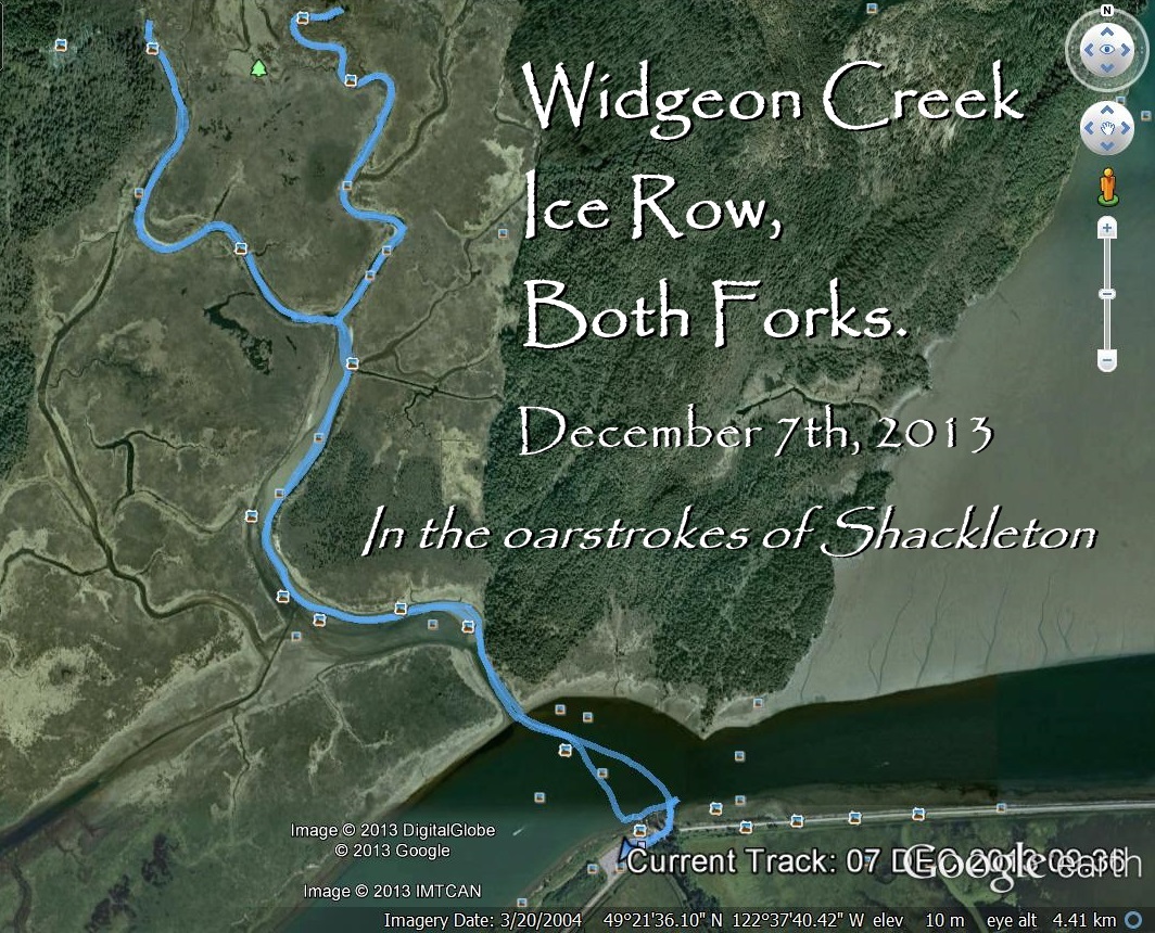
Saturday December 7th, 2013. I am going to try to row up both forks of Widgeon Creek. There has been a cold spell in Vancouver, two weeks of below freezing temperatures. Today it is clear and cold, the temperature at 10:00 am is -8 degrees. The wind is predicted to be less that 5 km/hr from the South East.
I have found a Widgeon Creek weather site, it is:
The site is from Norway! Why the Norwegians would want to know about the weather in Widgeon Creek is a mystery.
.
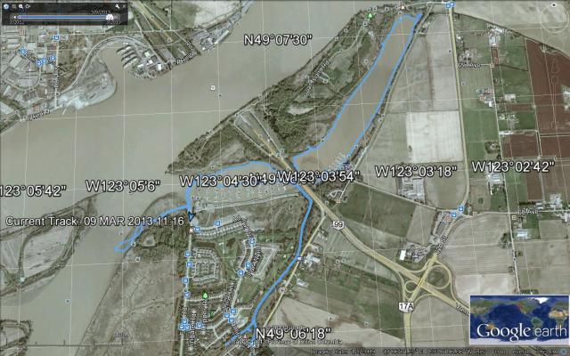
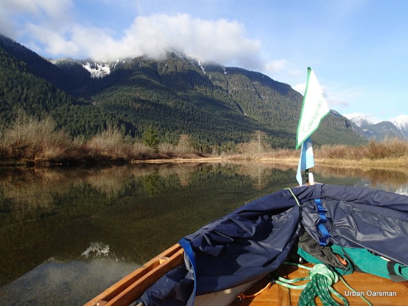
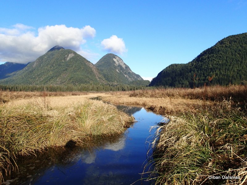
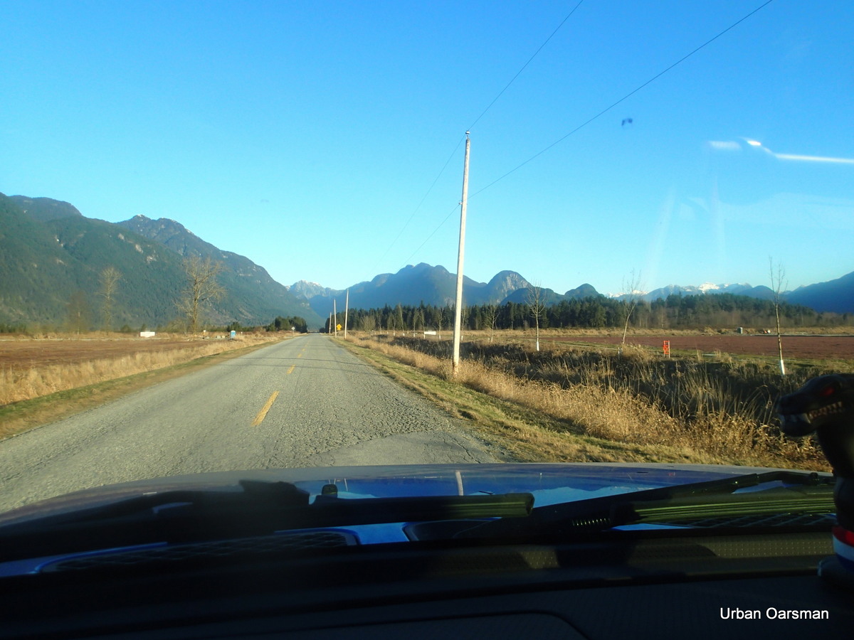
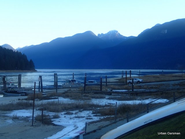
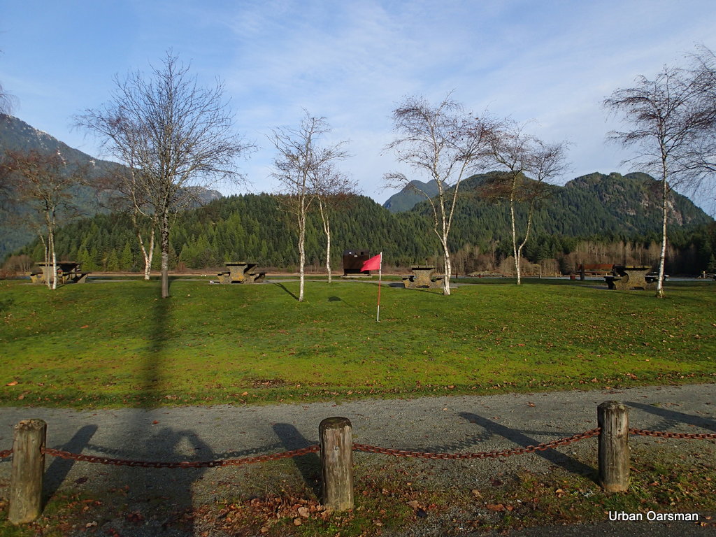
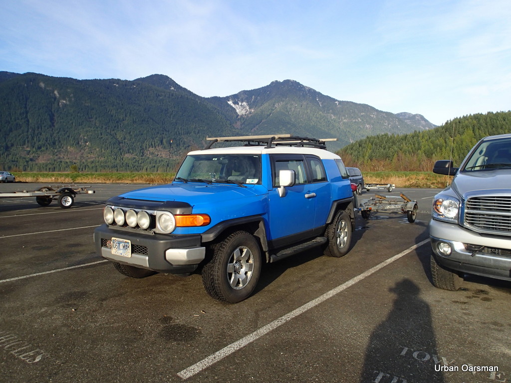
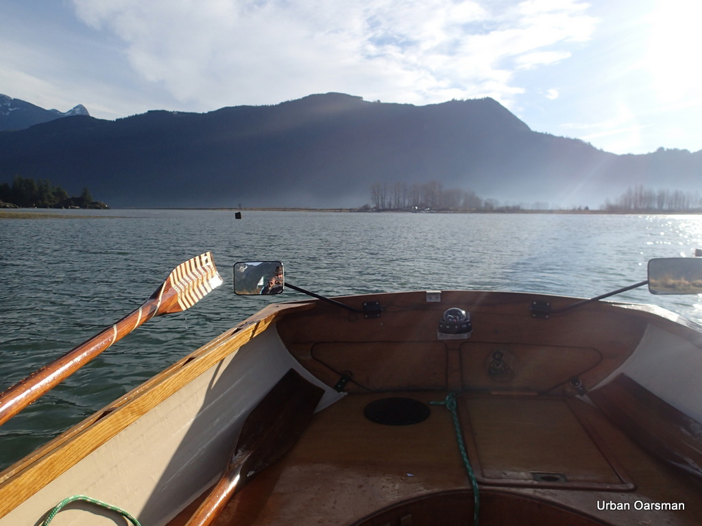
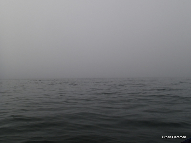
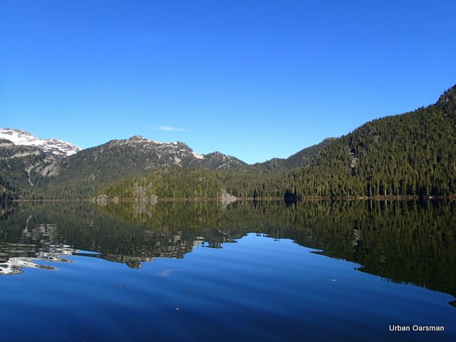
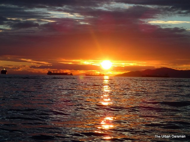
The road to Grant Narrows. The weather today is clear, sunny, calm and cold. This view is looking North towards Grant Narrows and Pitt Lake.
.
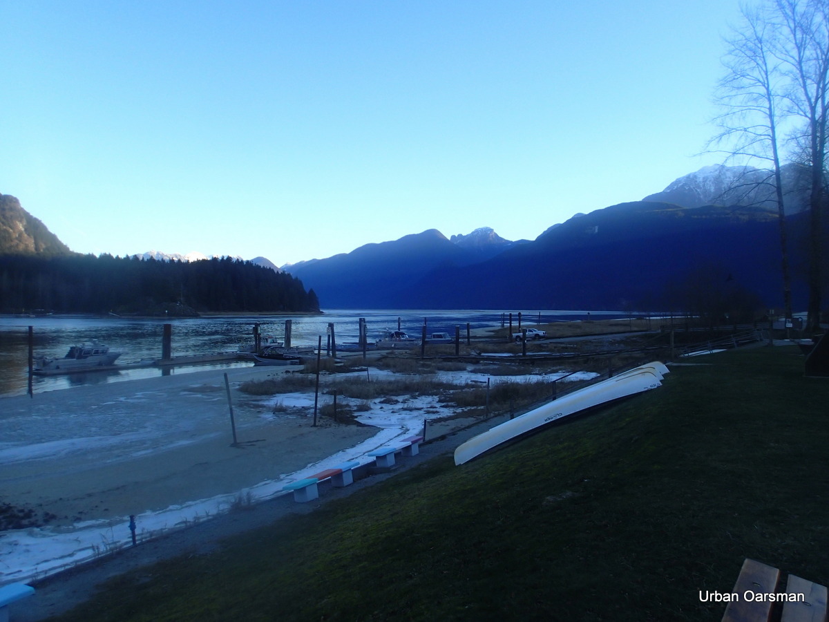
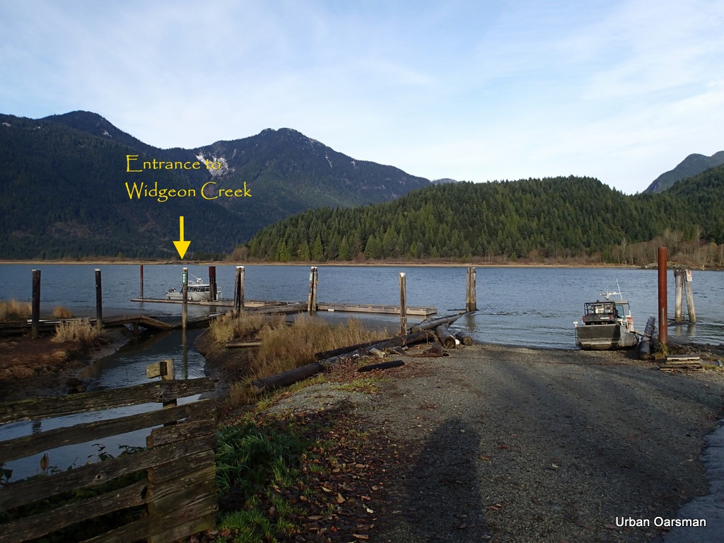
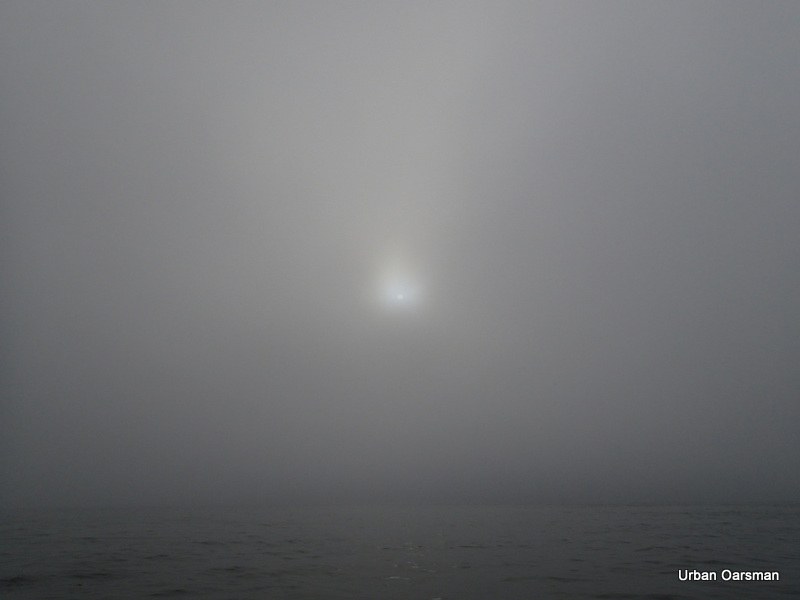
The Grant Narrows boat launch. The sun has is not high enough to shine here.
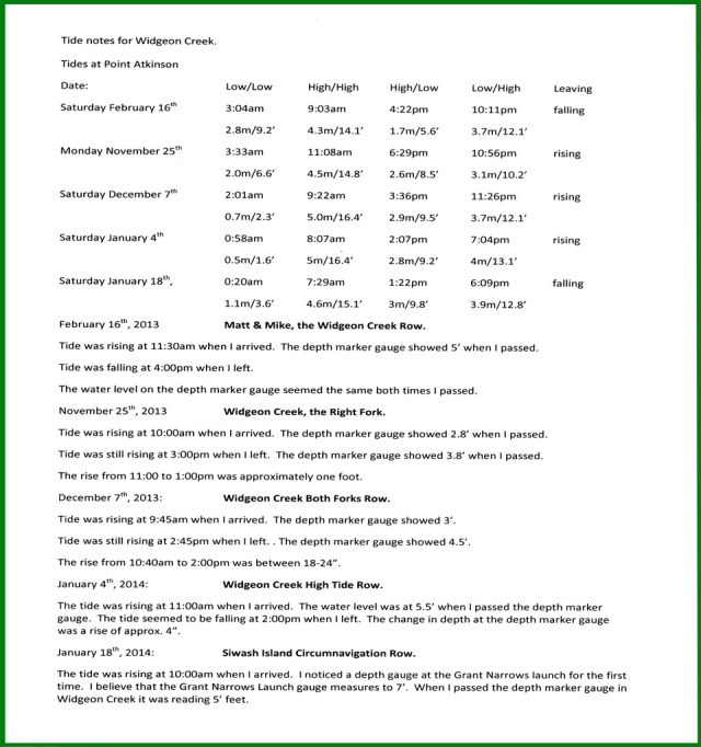
The Tide information:
Saturday December 7th, 2013. The Point Atkinson tides are:
The Low Low tide is at 2:01 am, .7 meter or 2.3 feet. The High High tide is at 9:22 am, 5.0 meters or 16.4 feet. The High Low tide is at 3:36 pm, 2.9 meters or 9.5 feet.
The tide is going to be higher than the last time I was here.
I am going to try to ride the tide up both of the forks of Widgeon Creek. The last time I was here on November 25th, the High High tide was at 11:08 am at Point Atkinson. The tide was still rising when I left at 3:00 pm. The high tide should be an hour and thirty minutes earlier today. I plan to row from 10:00 am to 3:00 pm. Will the tide peak during my row?
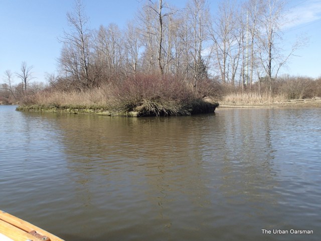
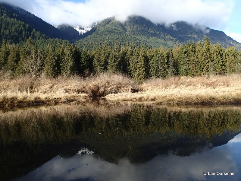
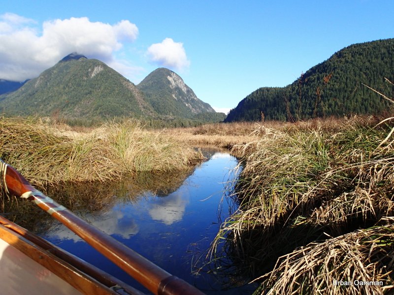
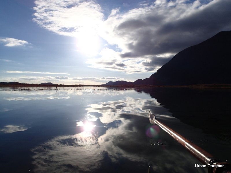
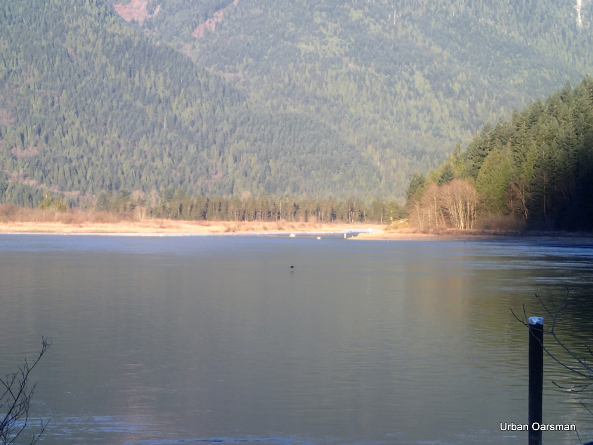
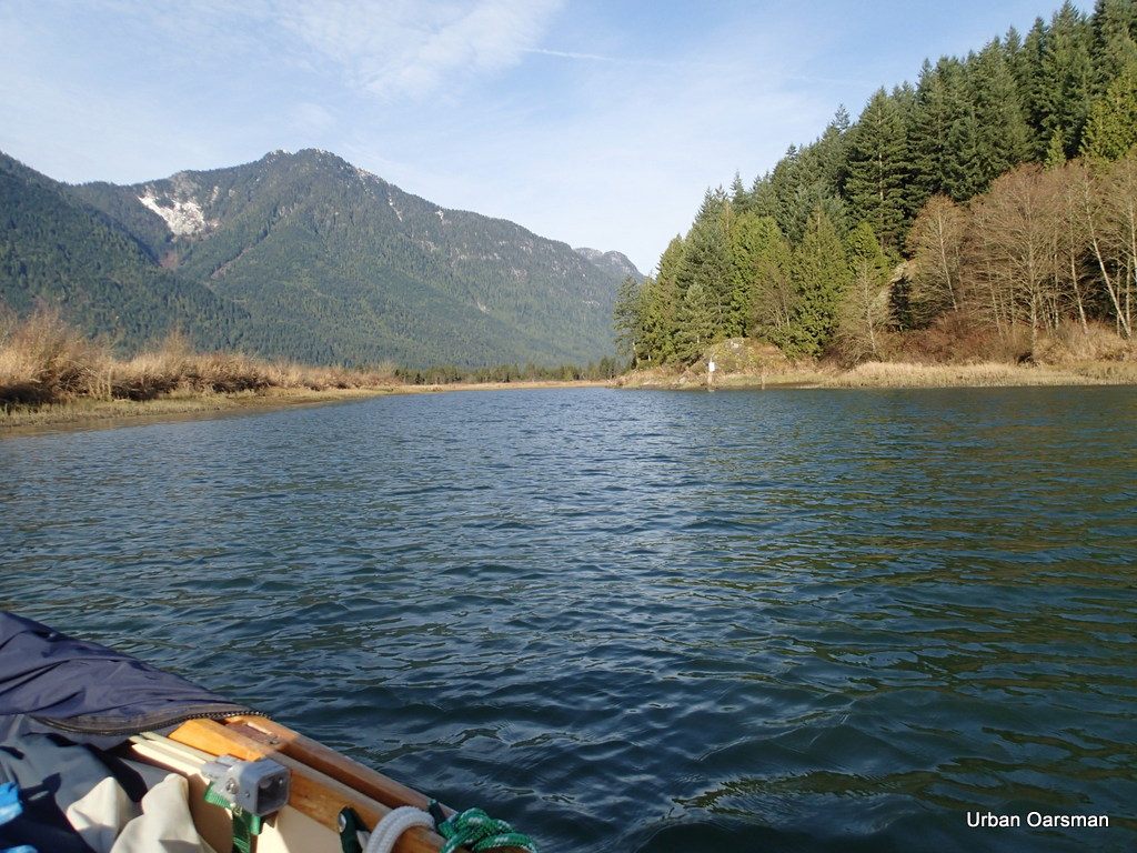
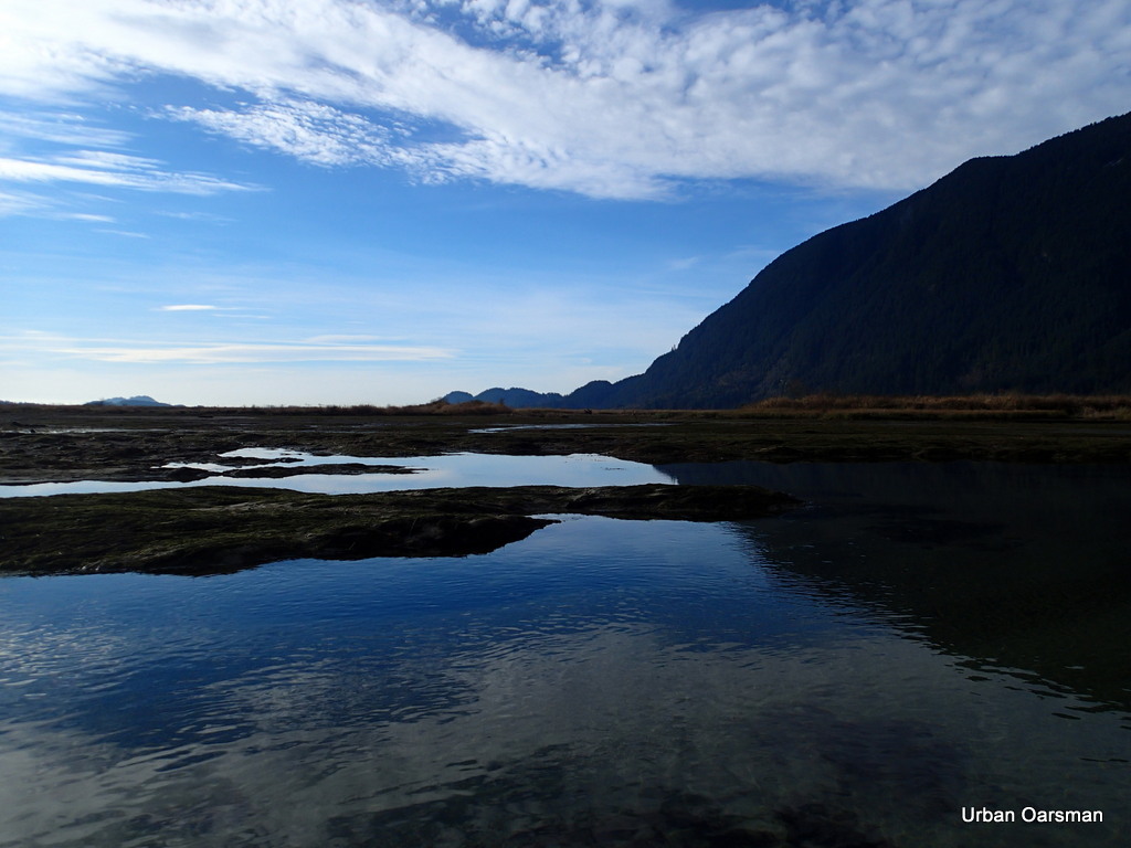
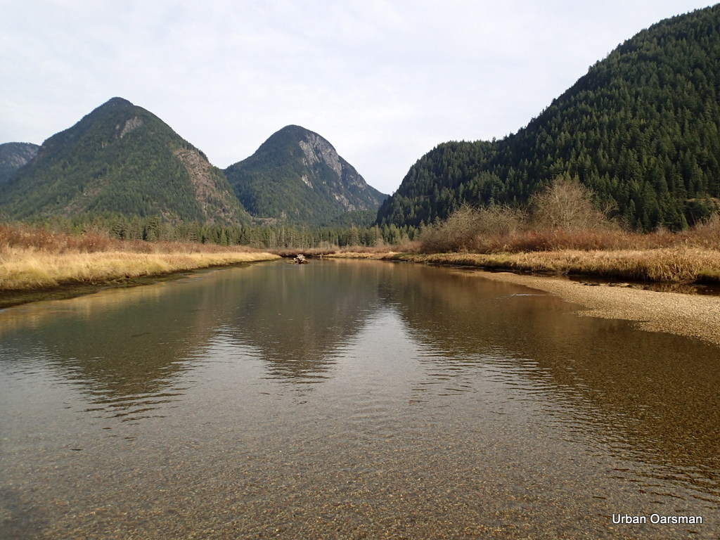
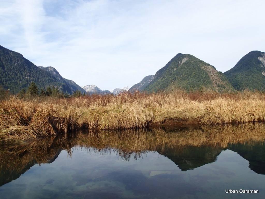
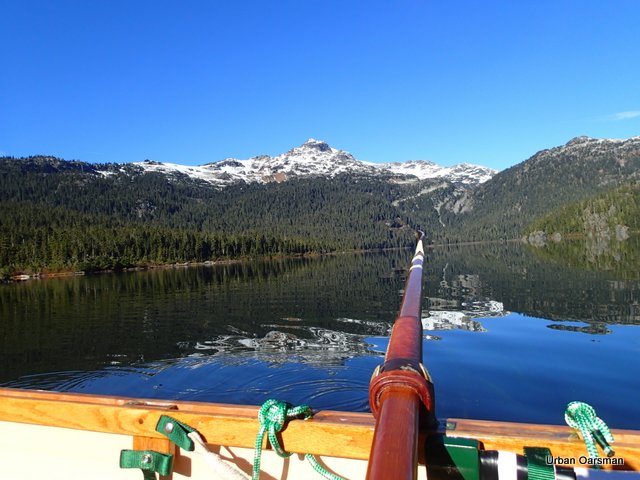
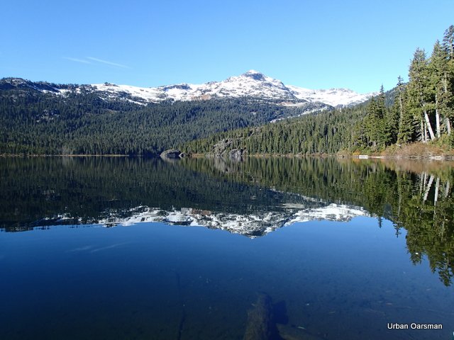
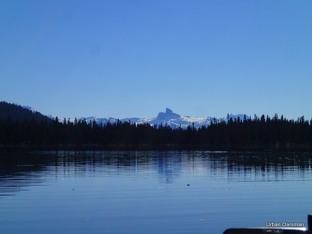
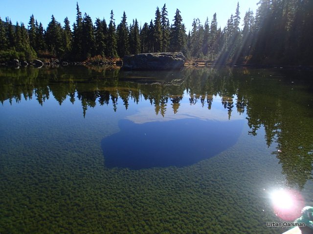
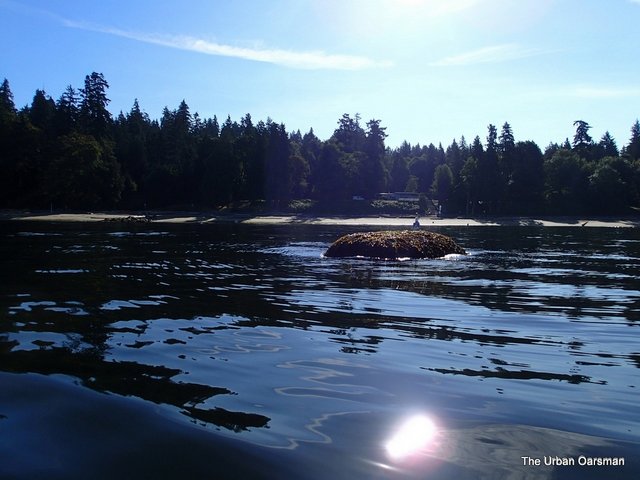
Just visible is the delta going into Pitt Lake. It runs from the left point across the picture to the right.
.
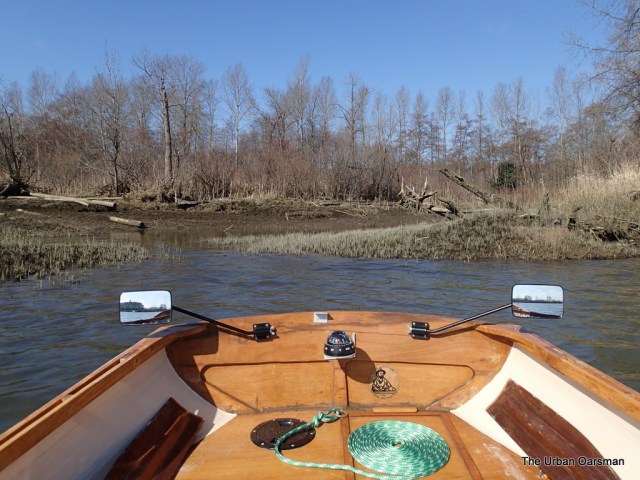
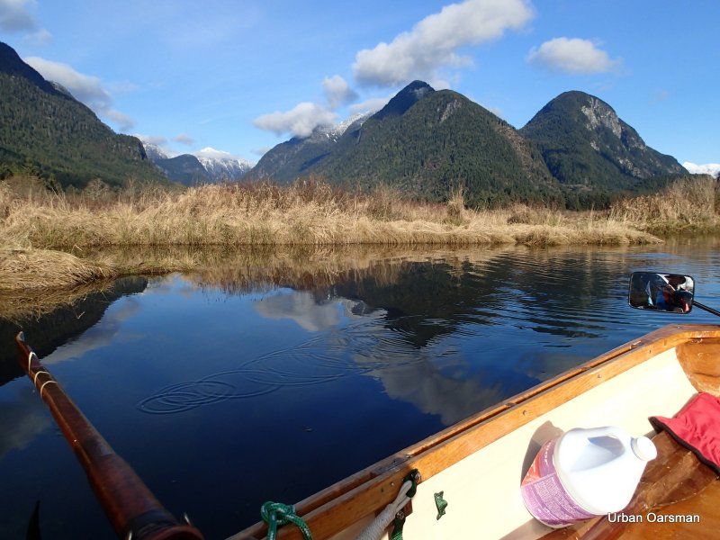
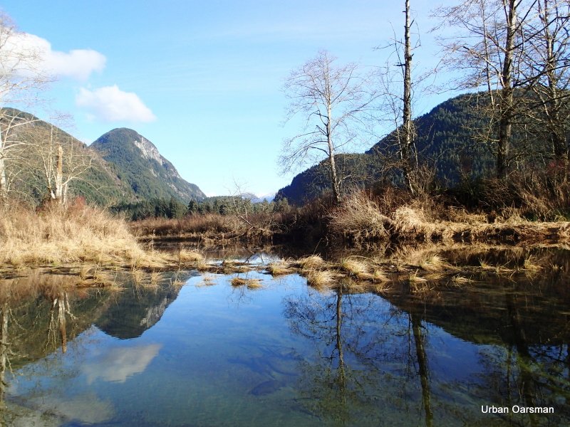
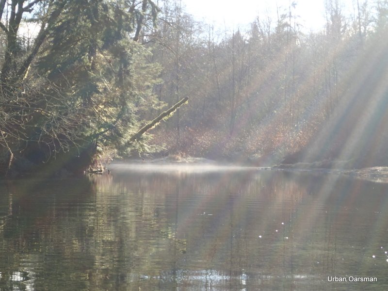
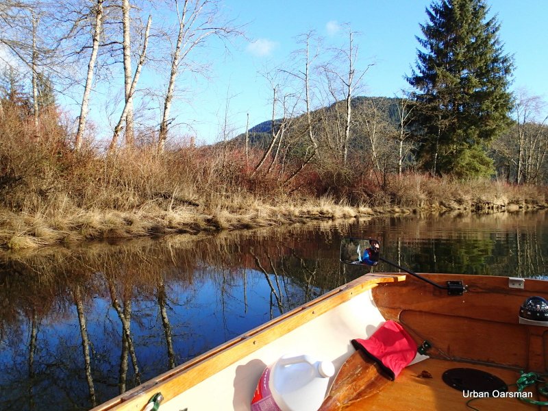
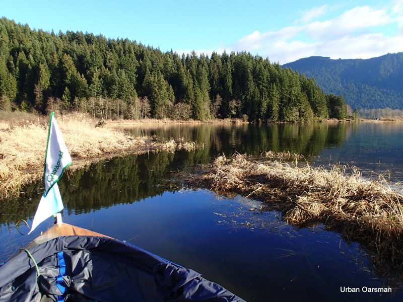
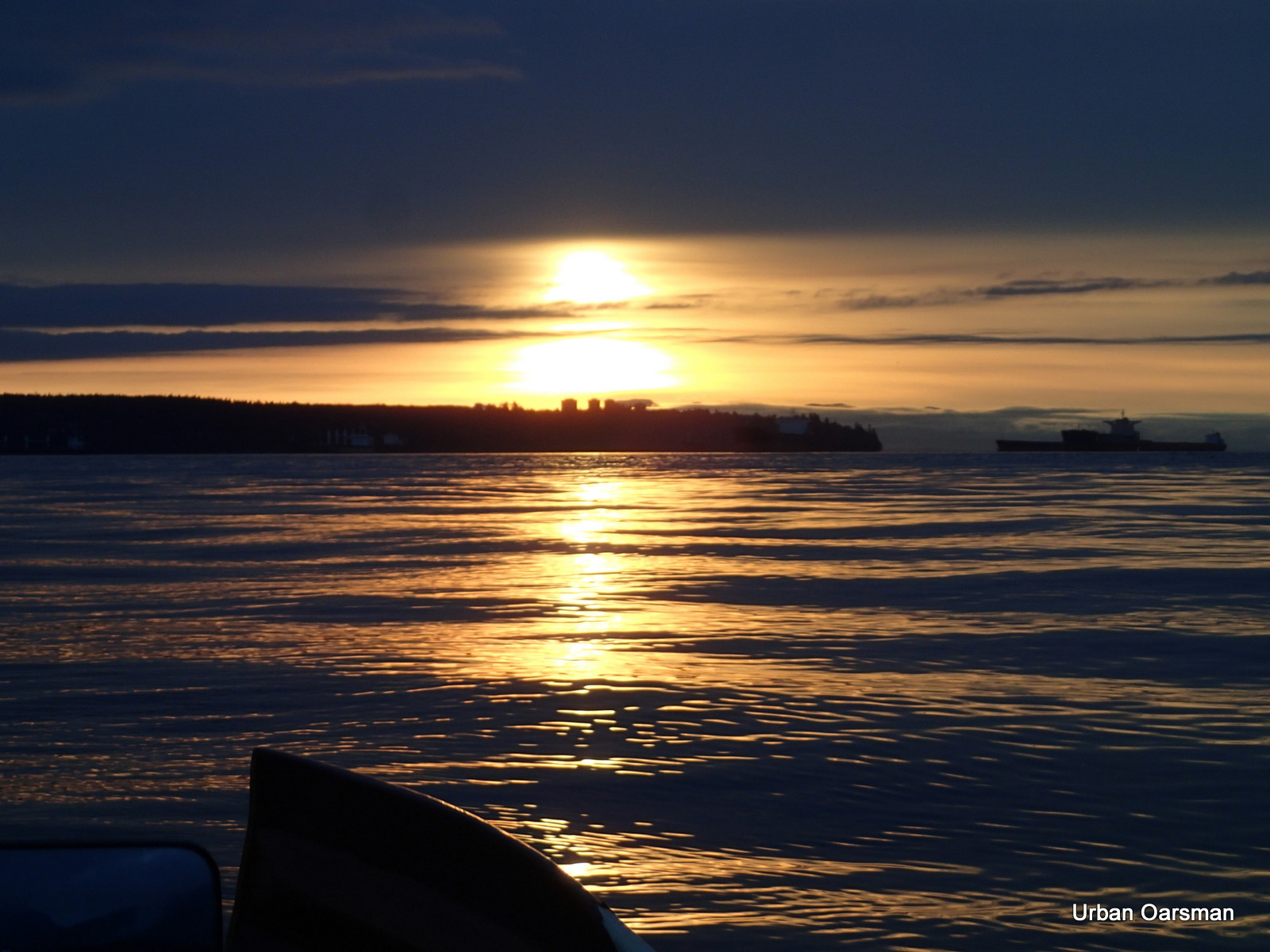
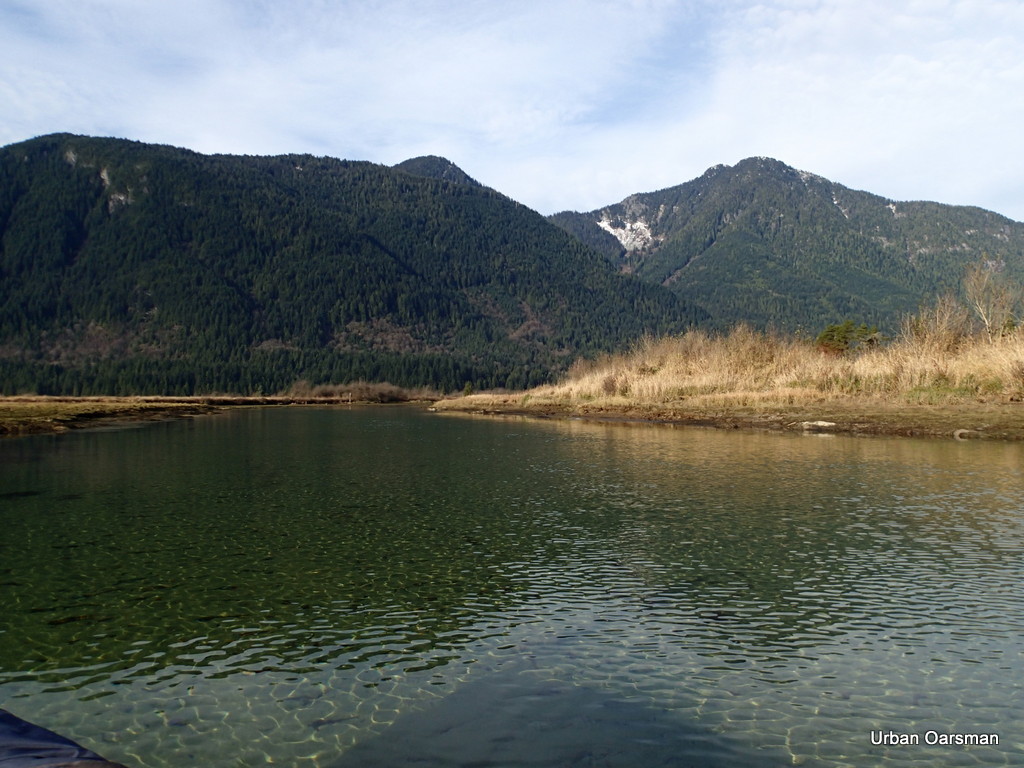
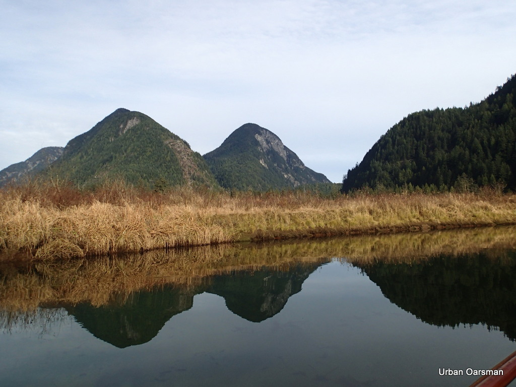
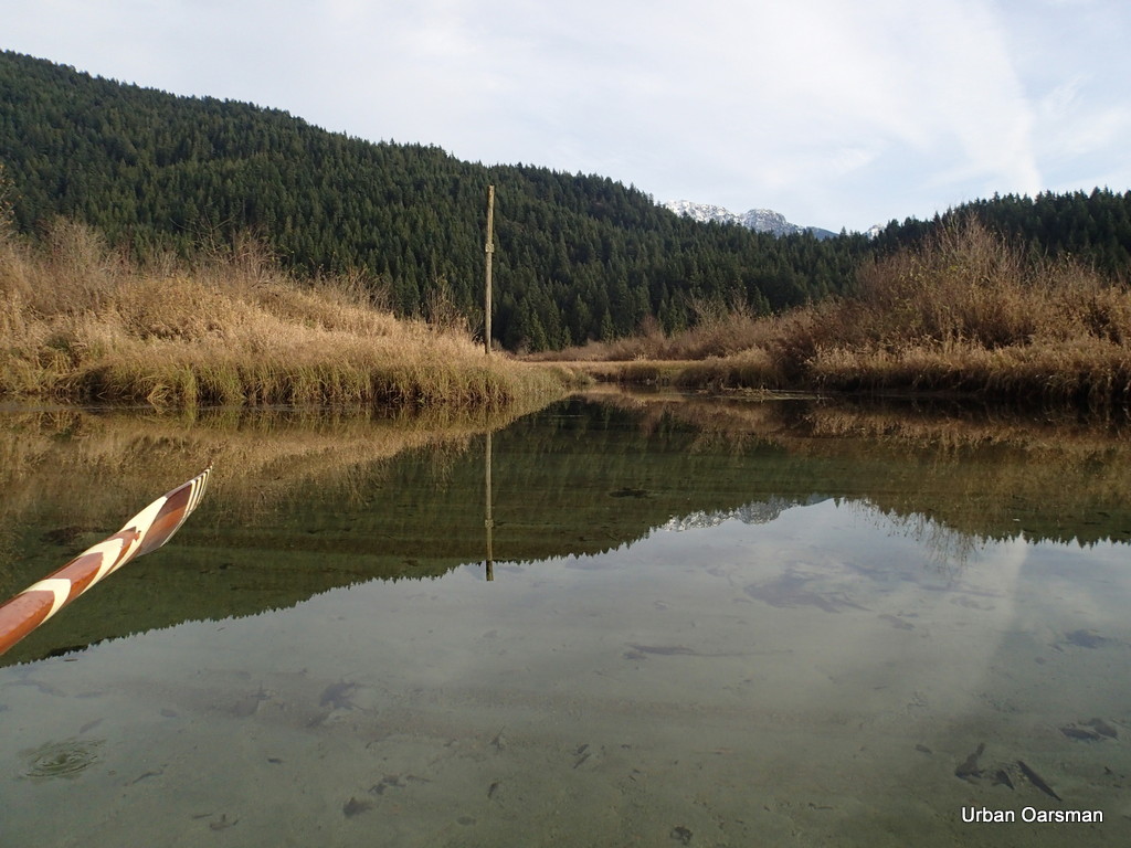
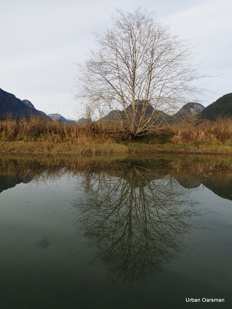
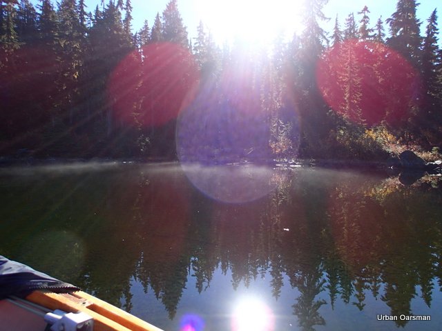
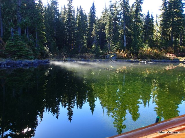
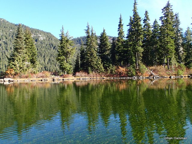
The morning sun on Widgeon Creek Estuary. It is cold. I am dressed for the cold. I have my long underwear, top and bottom, woolly socks, undershirt, long sleeved shirt, pull over fleece, wind breaker jacket, scarf, hat, toque (if windy), life jacket, and a blanket. I also have some pogies to row with for my hands. I have some boot and hand warmer packs.
.
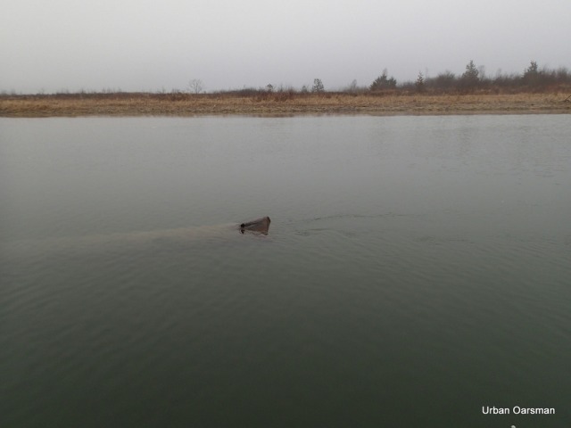
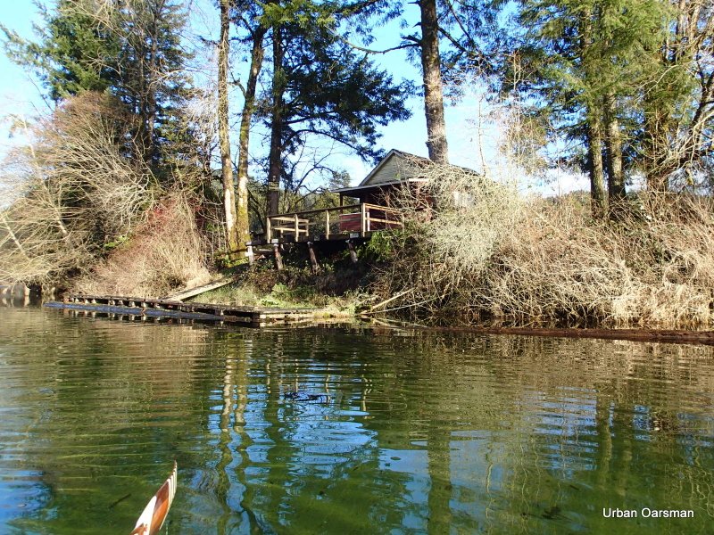
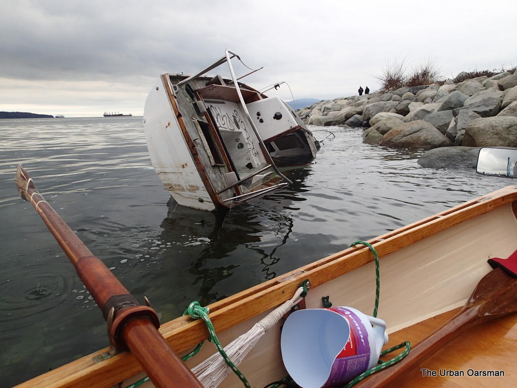
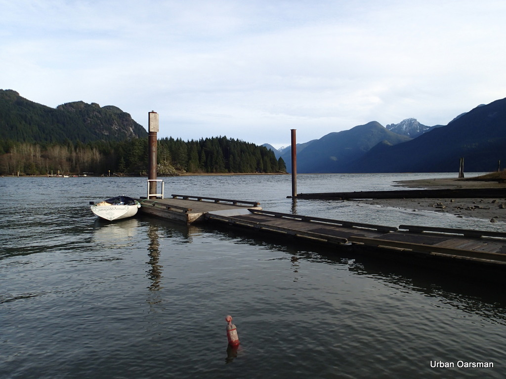
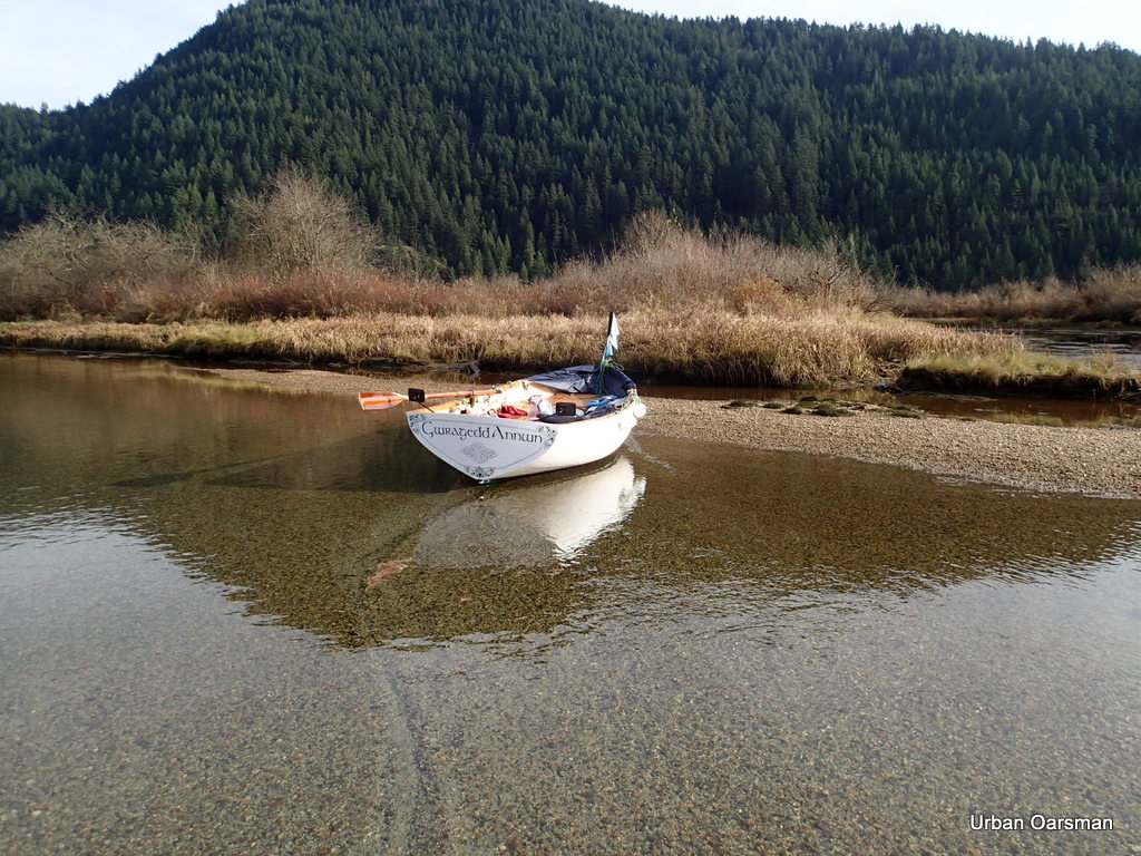
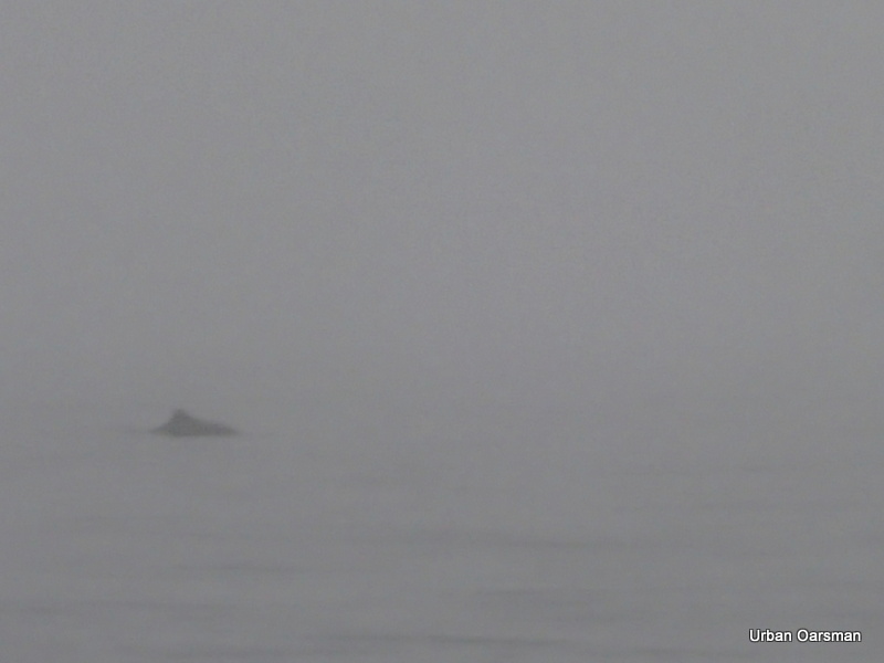
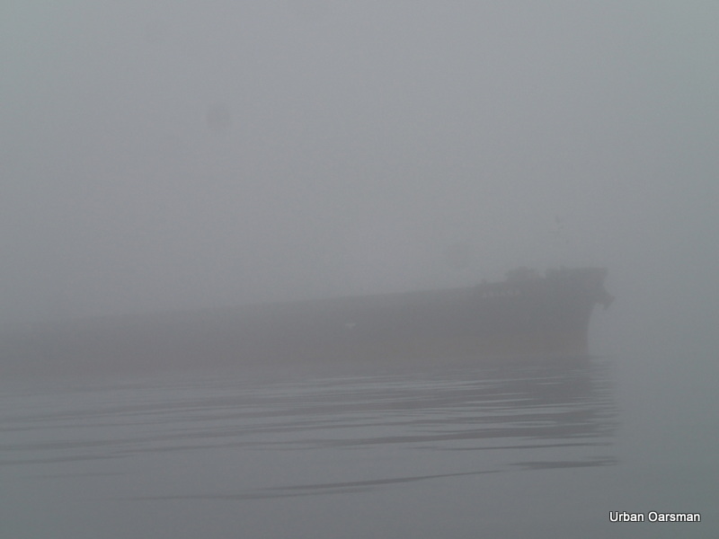
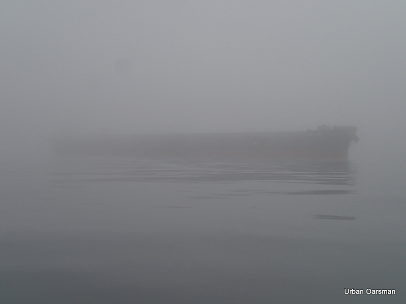
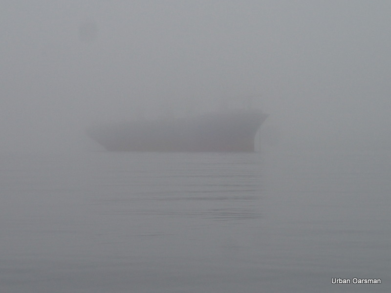
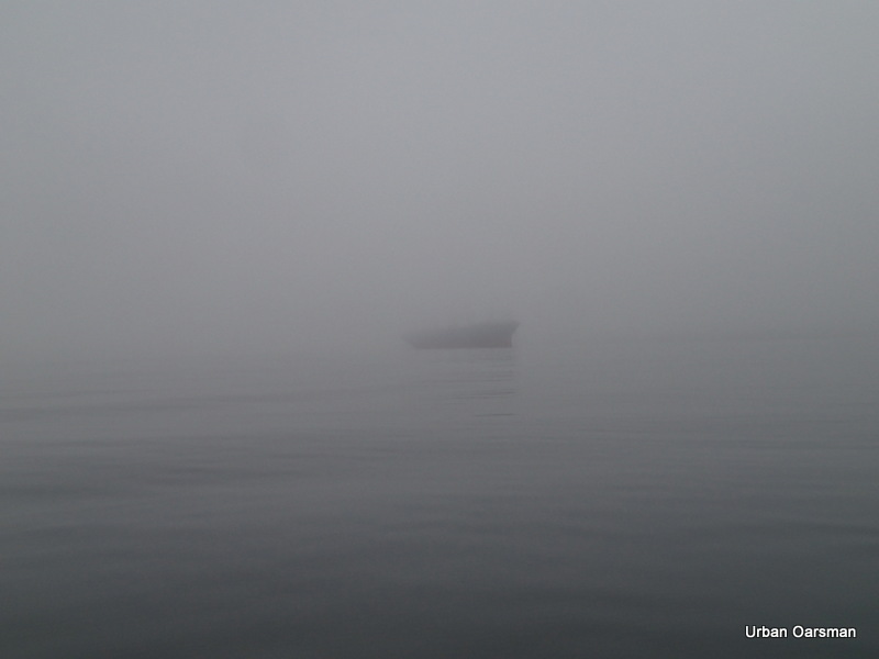
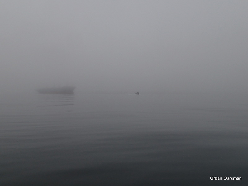
There is a boat in the estuary.
.
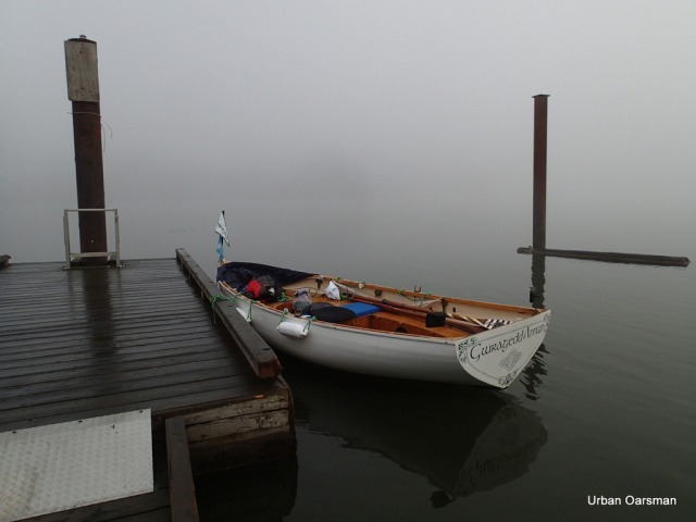
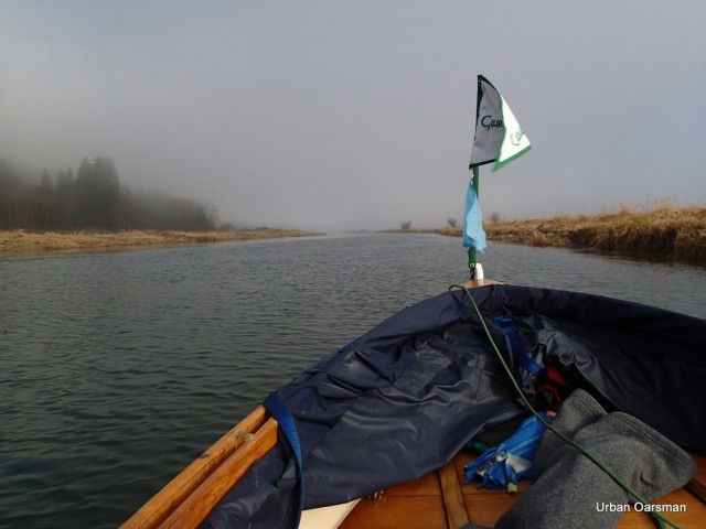
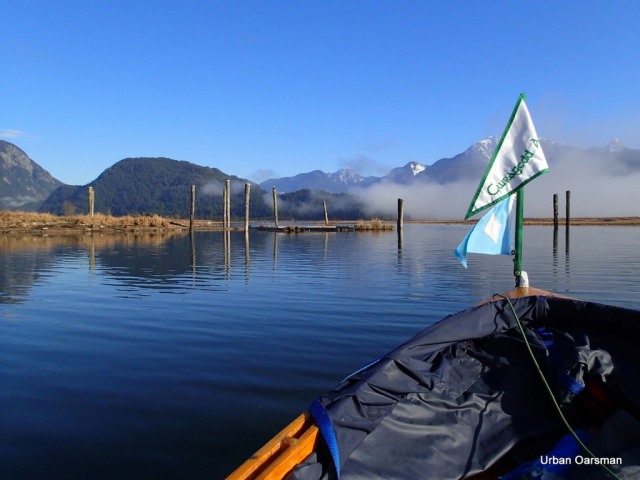
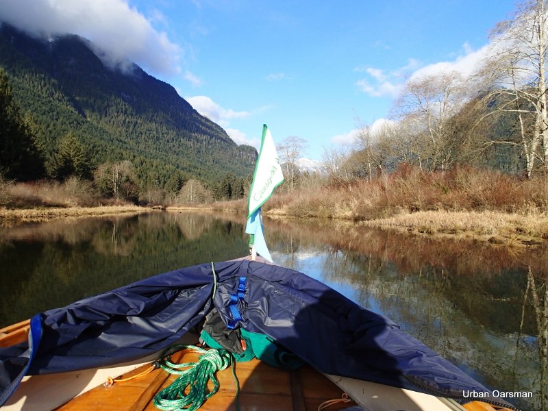
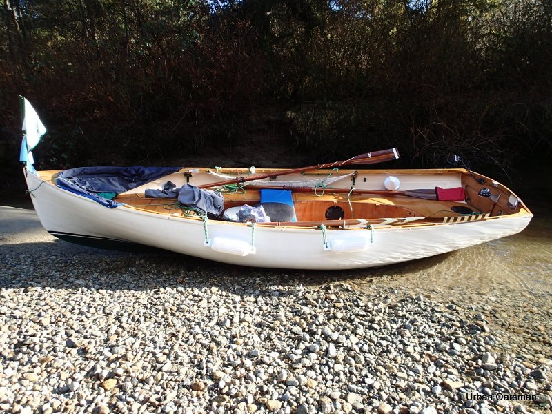
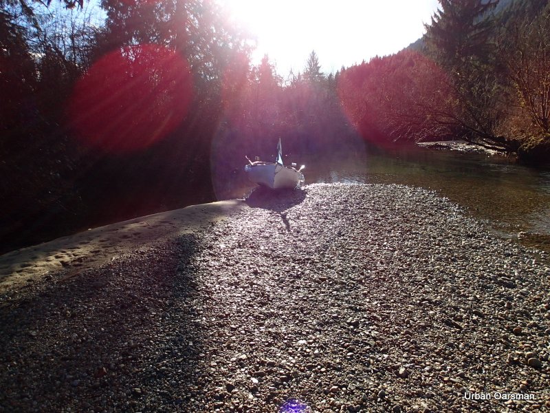
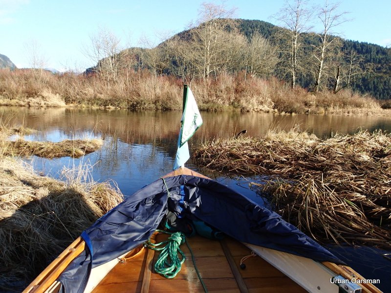
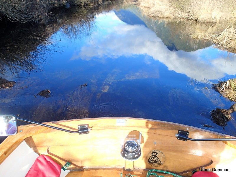
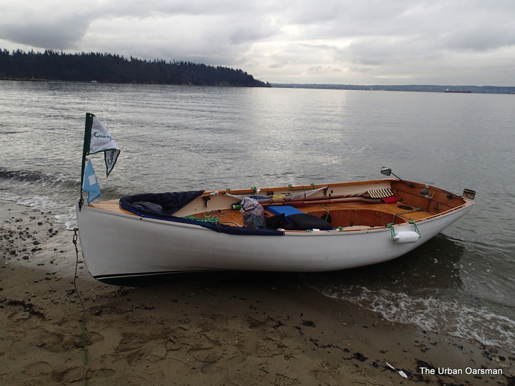
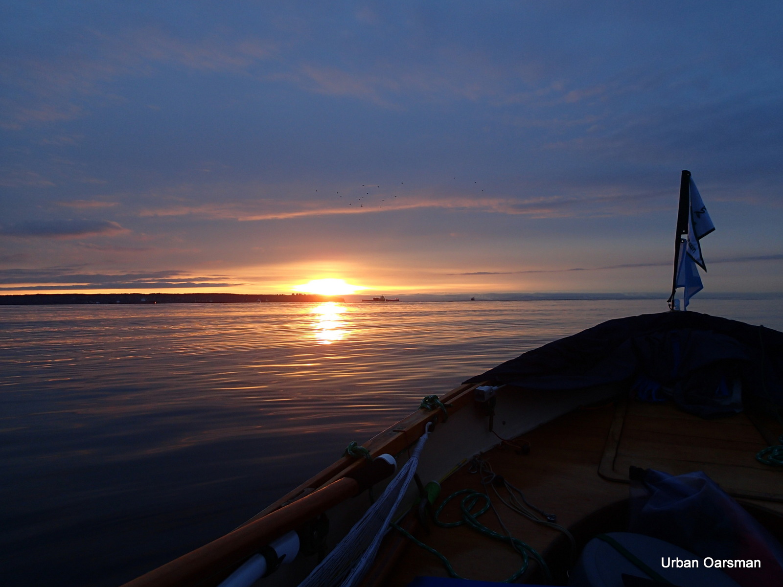
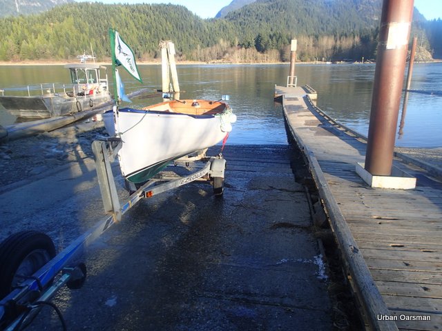
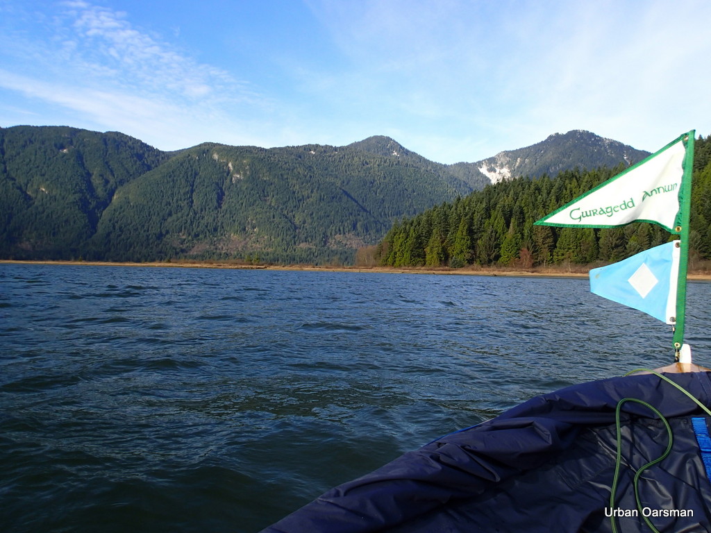
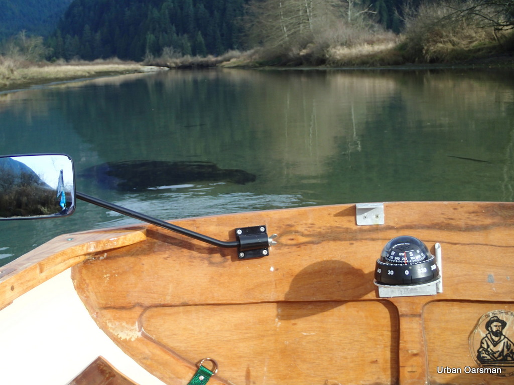
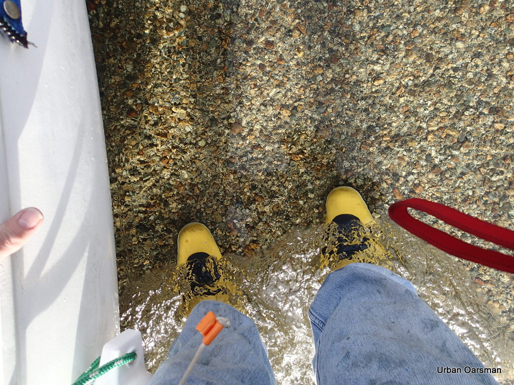
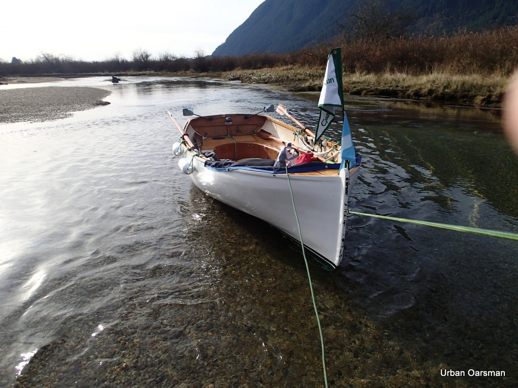
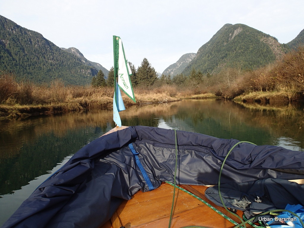
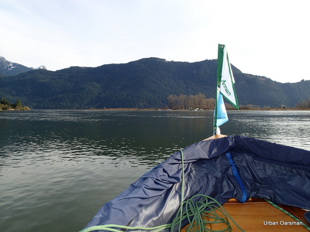
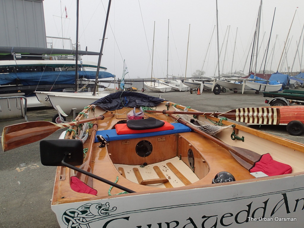
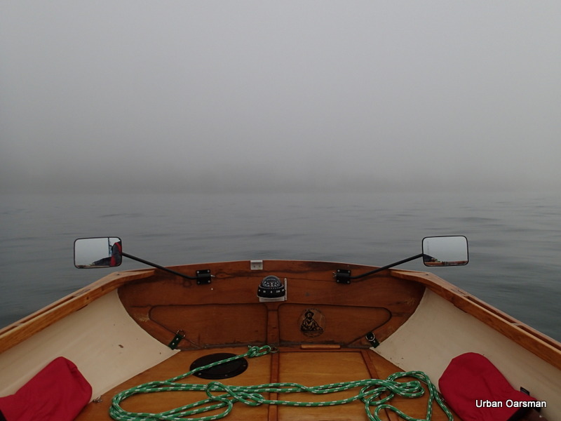
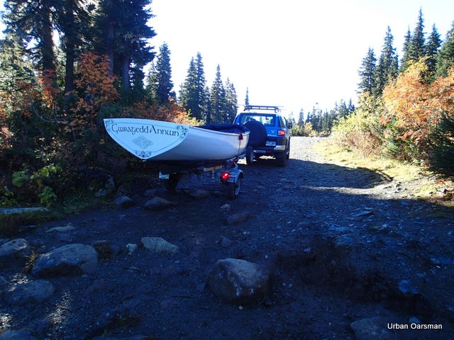
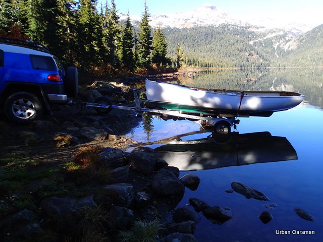
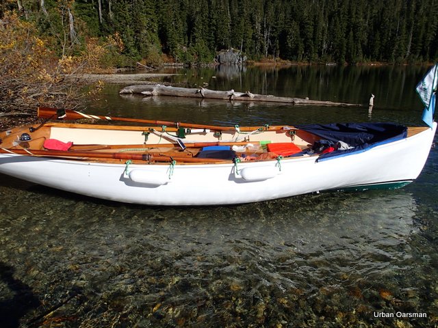
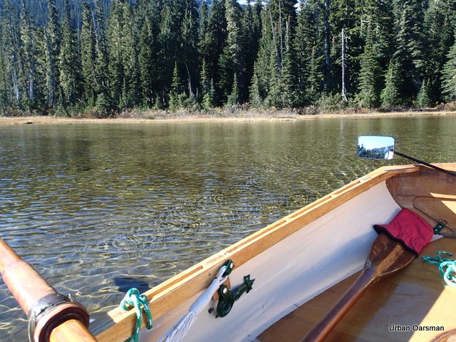
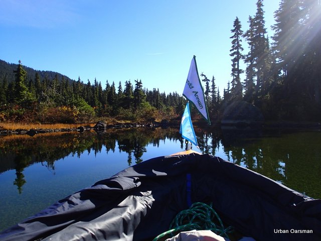
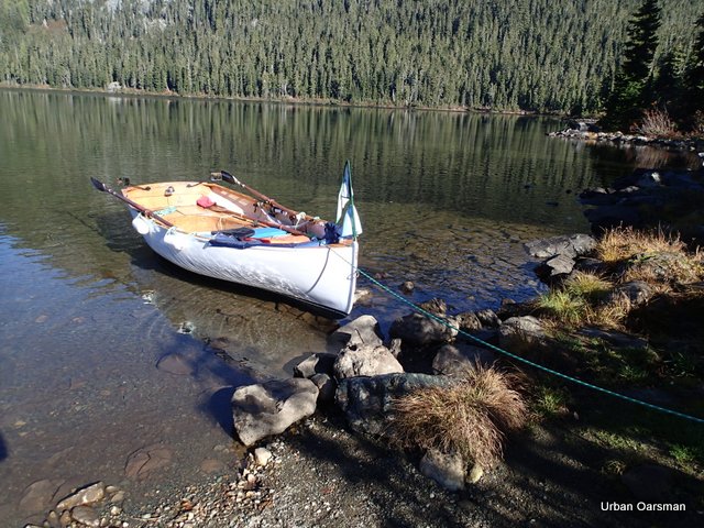
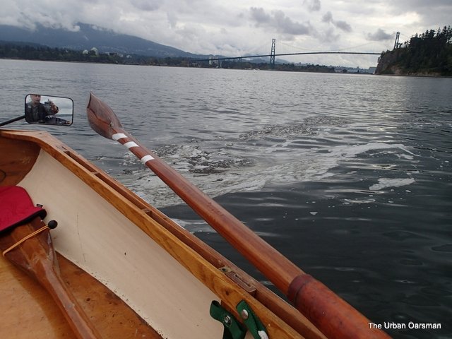
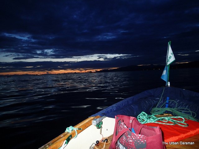
Launching Gwragedd Annwn.
.
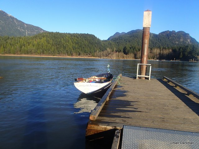
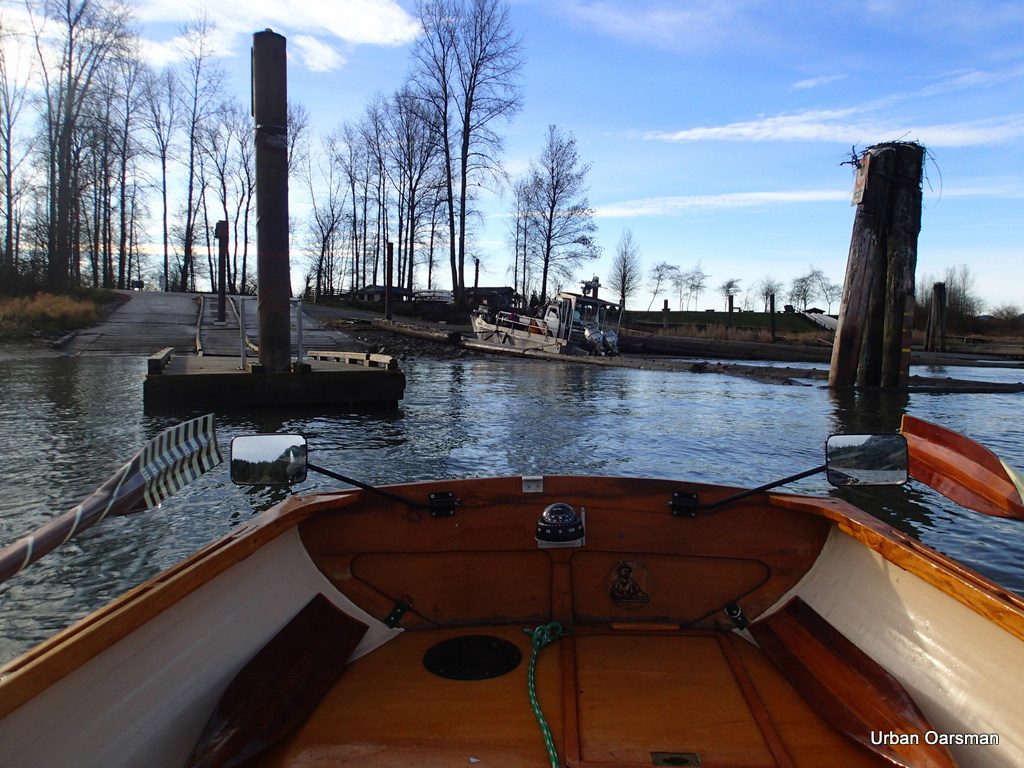
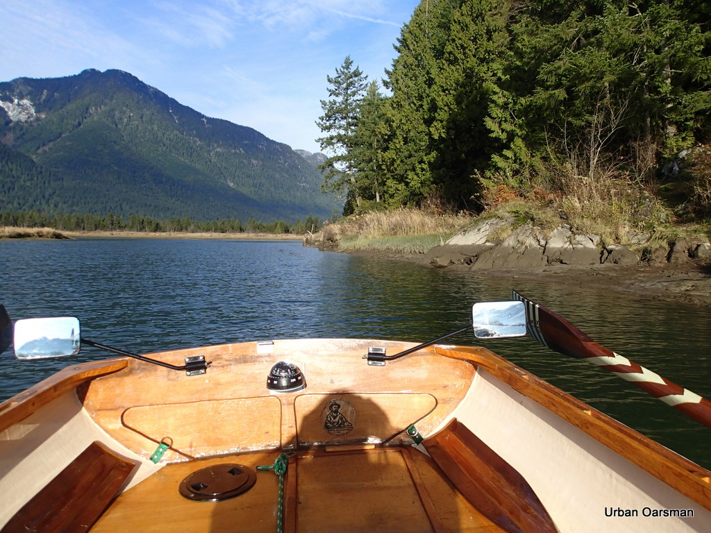
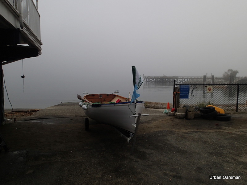
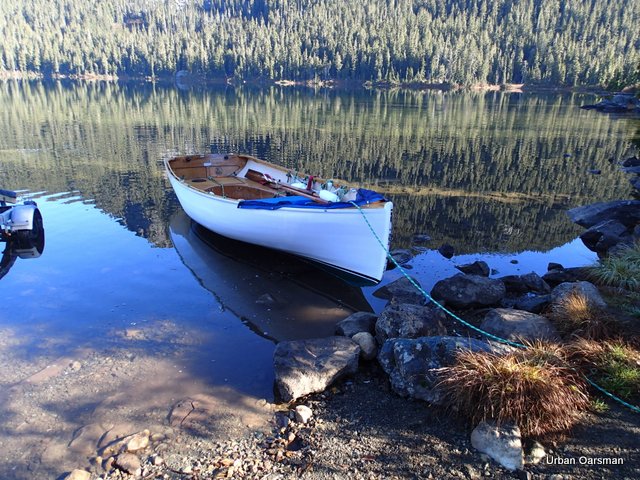
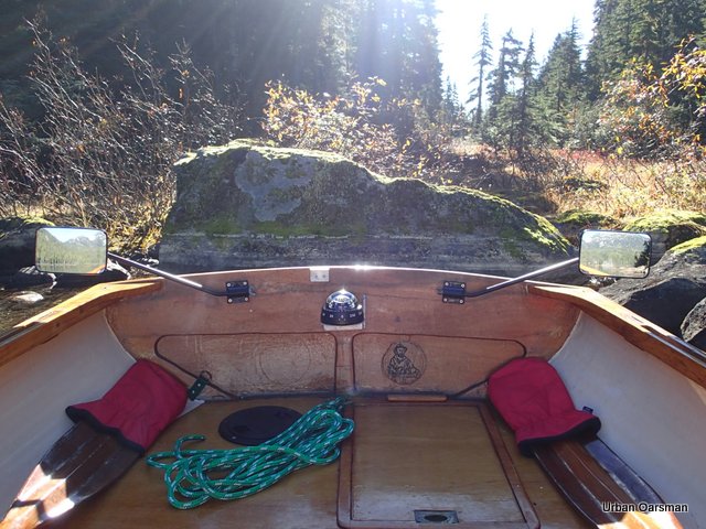
Gwragedd Annwn at the dock, ready to row.
.
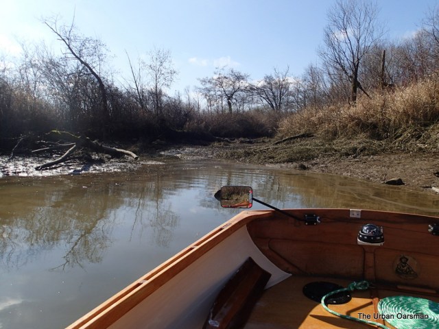
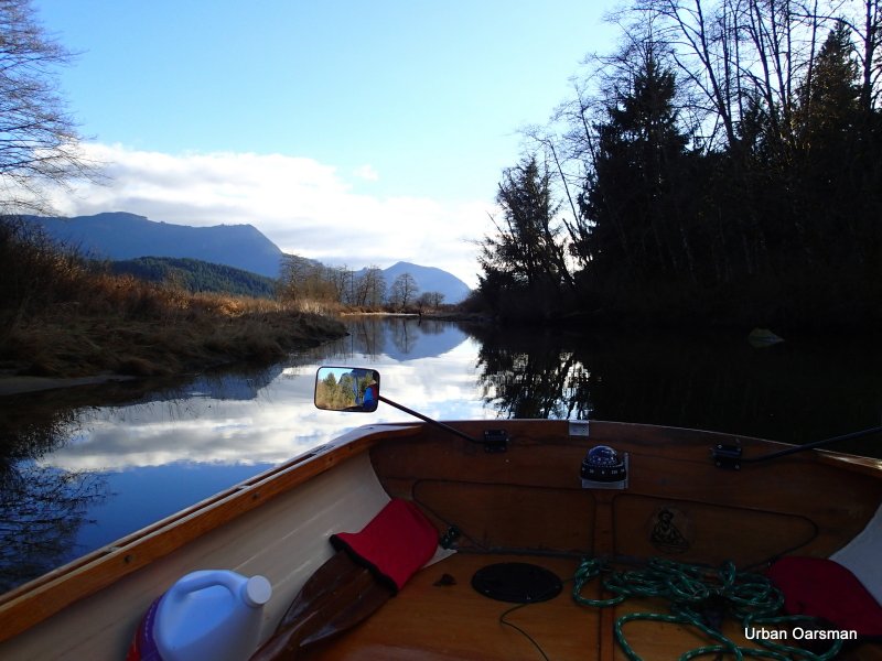
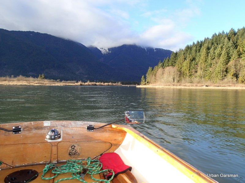
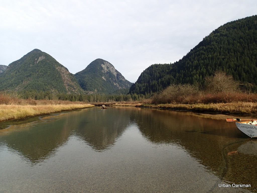
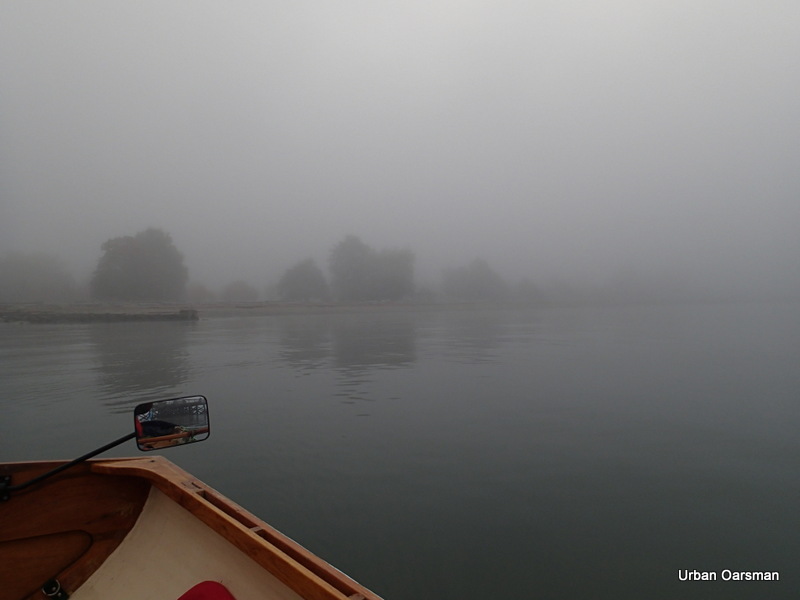
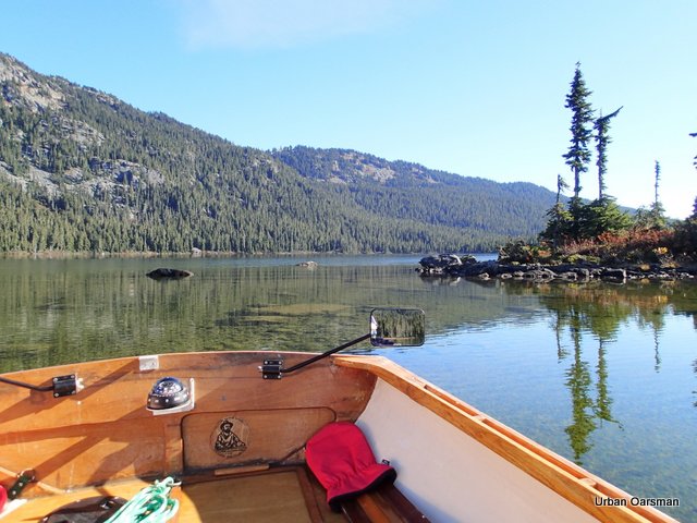
Looking towards Pitt Lake. In the short time that I have been here, the delta has submerged.
.
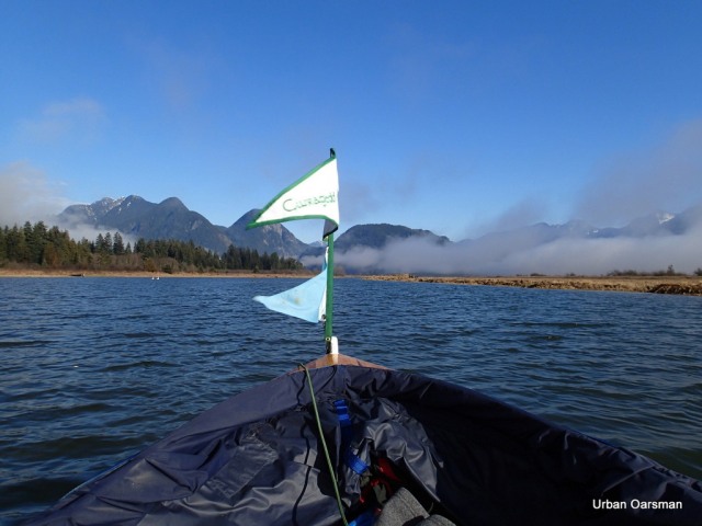
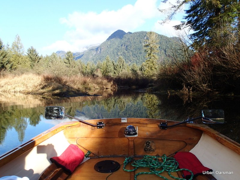
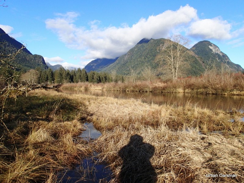
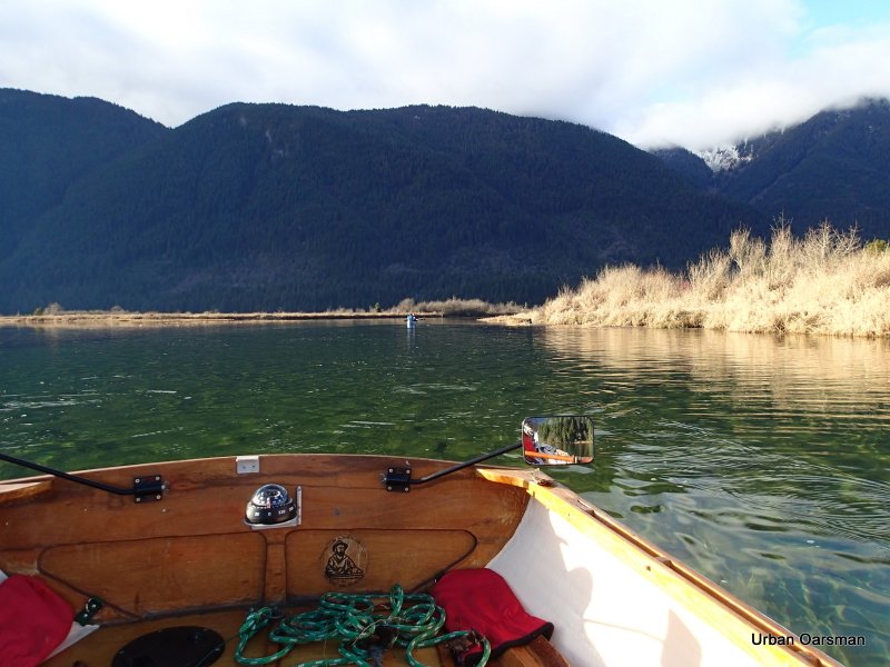
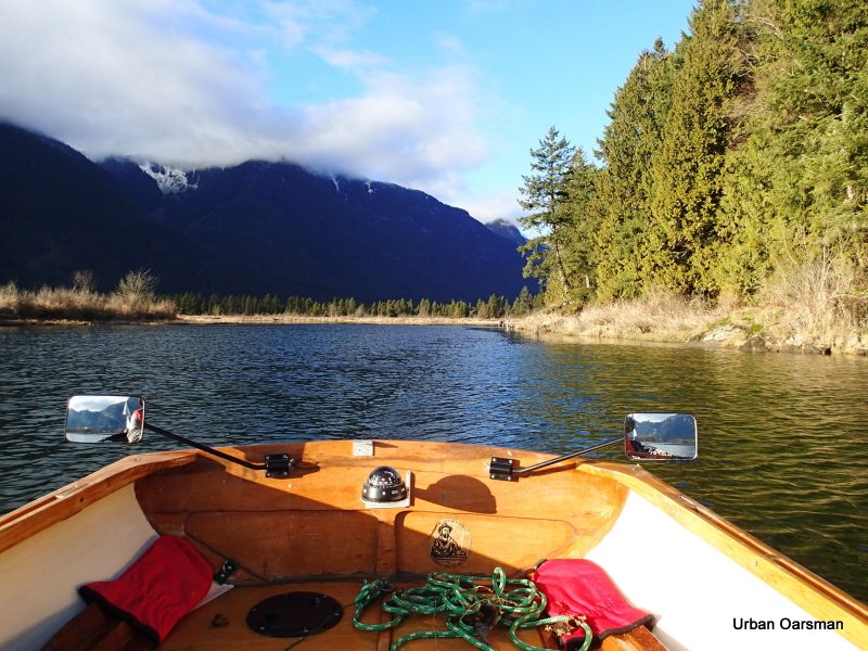
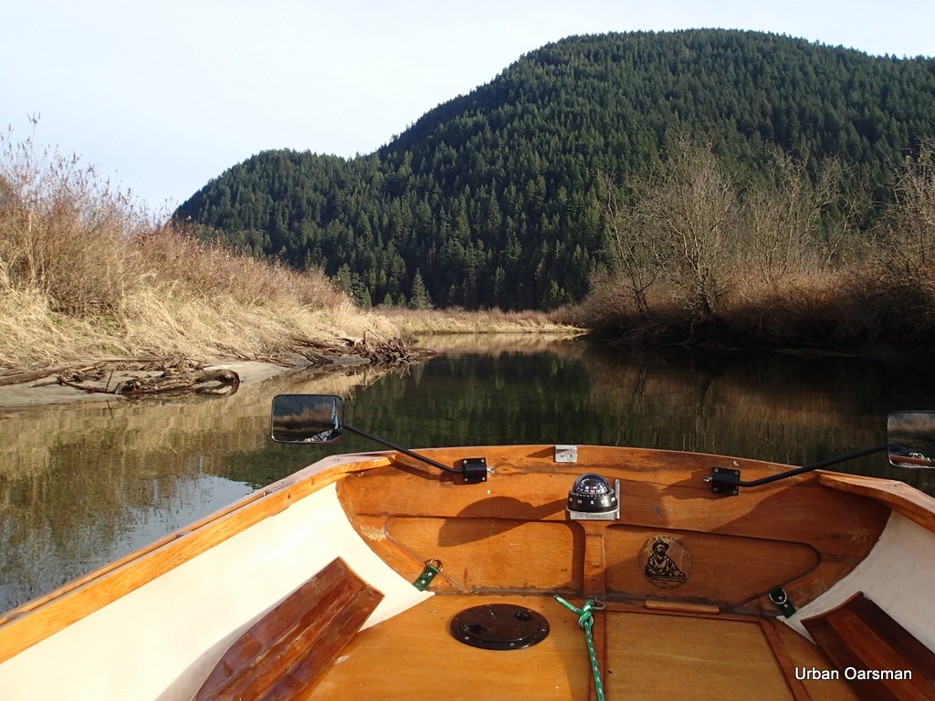
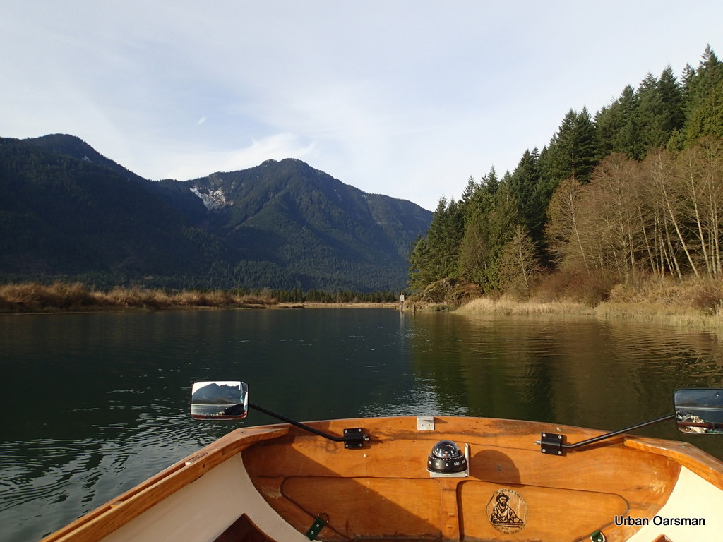
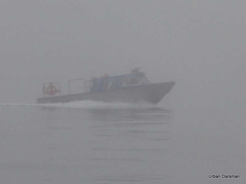
Grant Narrows is the border for the Harbour. A beautiful morning for a patrol.
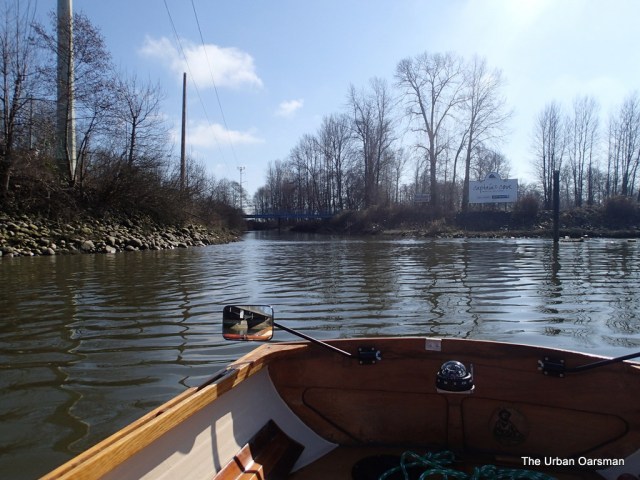
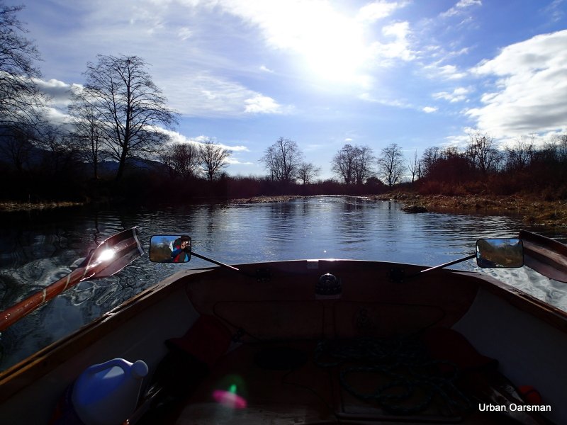
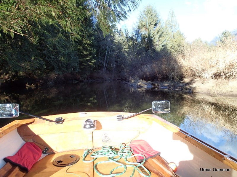
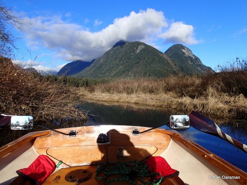
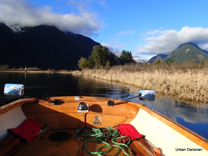
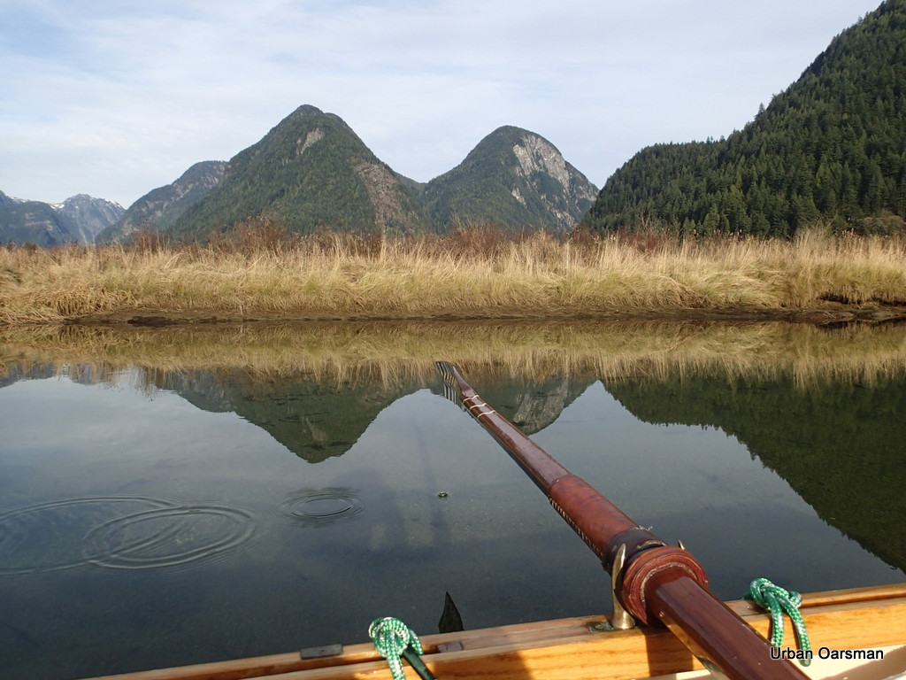
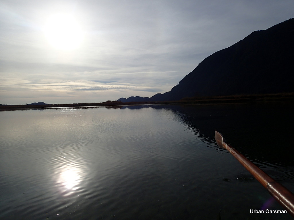
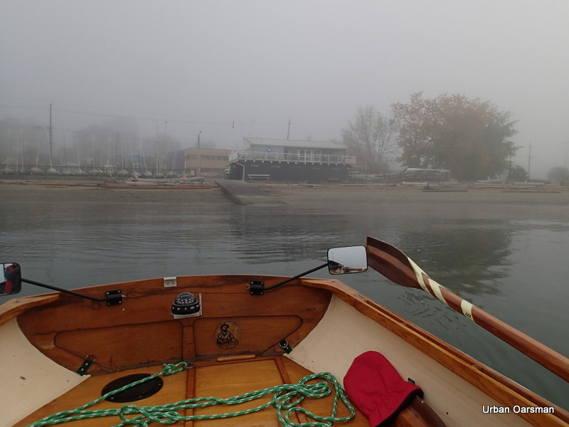
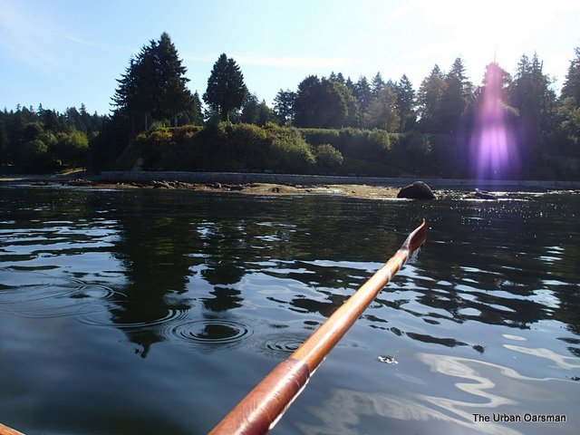
Leaving the dock behind. I am going to row South along the docks and then make the crossing. There is a one and one-half current going up river into Pitt Lake.
Icicles on the bow of a moored boat.
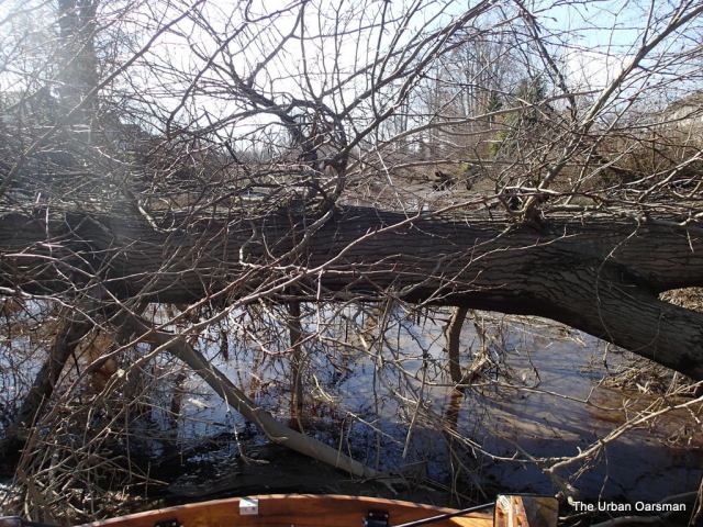
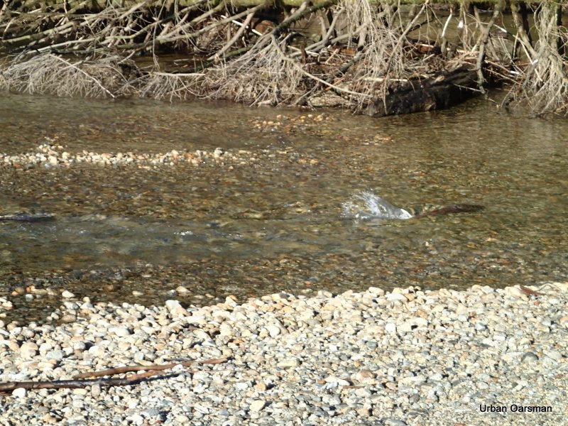
Wow!, as I enter the estuary, I find that it is frozen. There is a channel in the ice from the boat I saw earlier that I am going to follow. I am rowing in stern first, so I can see exactly where I am going.
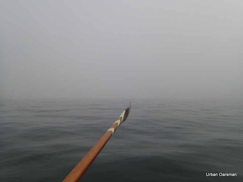
My oar is resting on the ice. It is between 1/4 and 1/2 inches thick. In some places my oars go right through and in others they just bounce off the ice. This could be a very short row if the ice conditions do not get better. A few times I have to take two runs at the ice to get through.
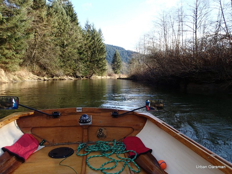
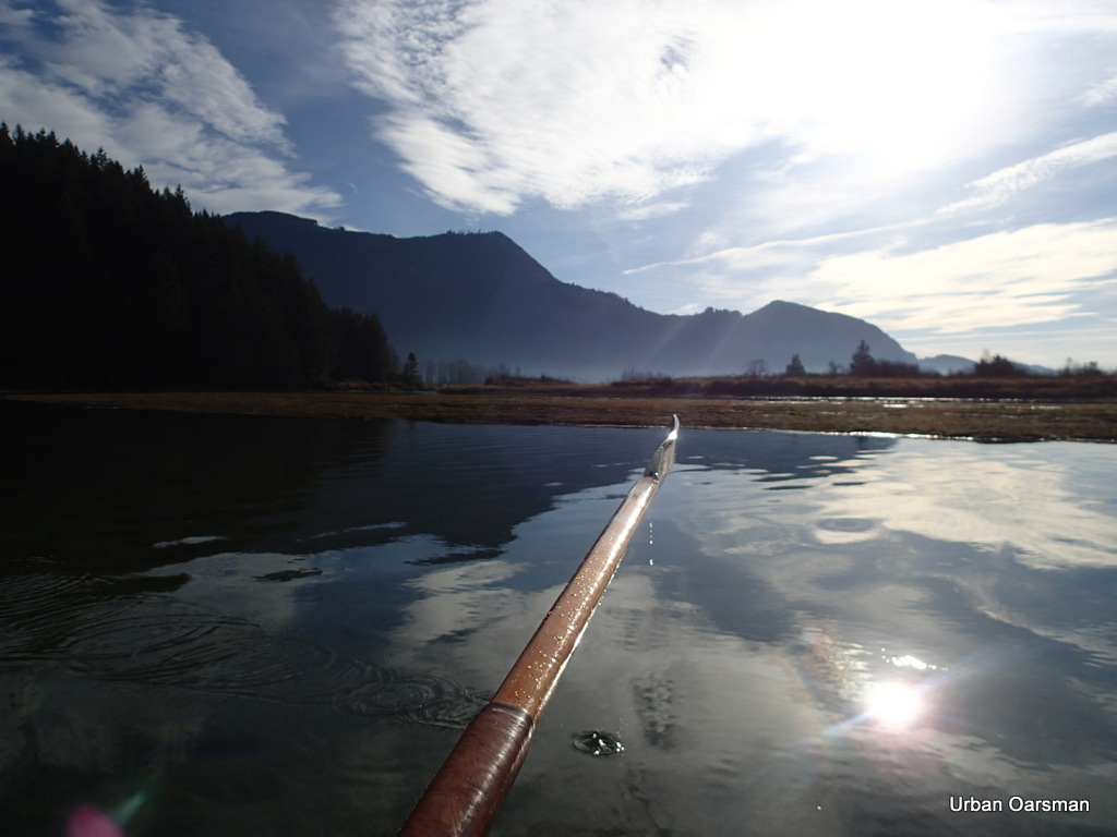
Looking back East from where I have come.
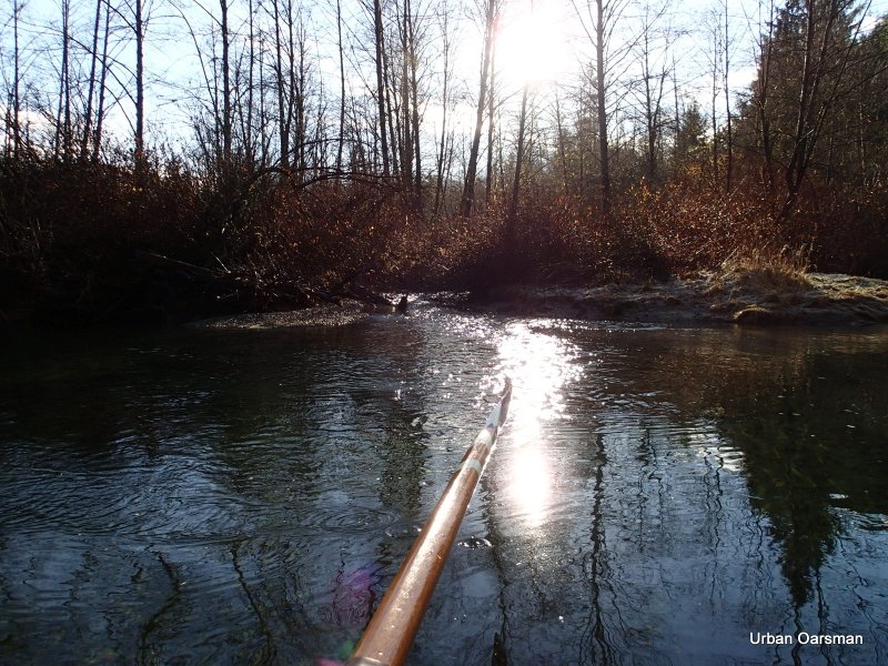
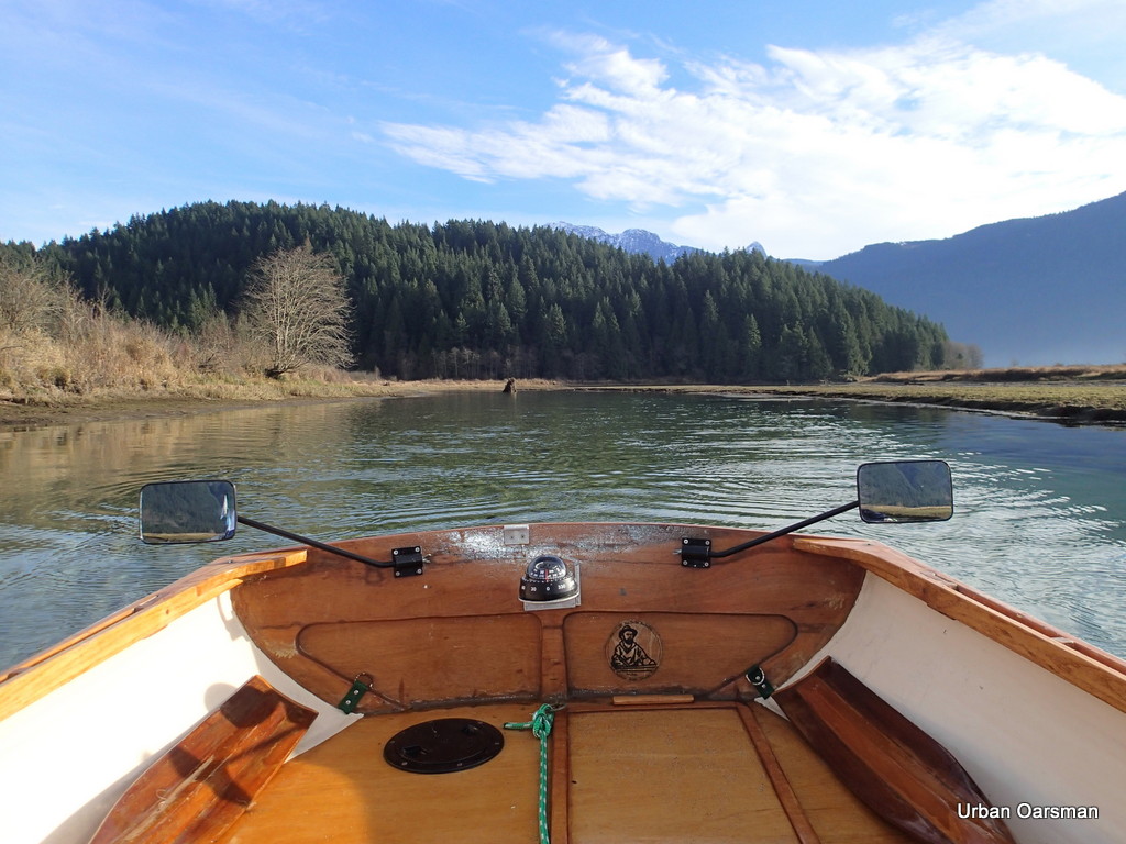
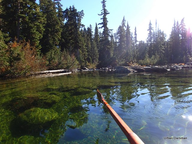
The channel has a lot of ice in it, but there is some clear water ahead, where Widgeon Creek flows.
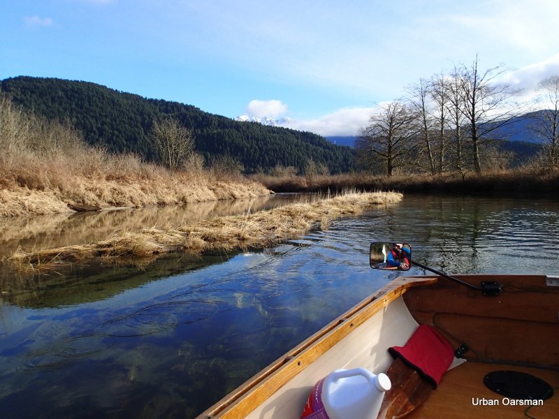
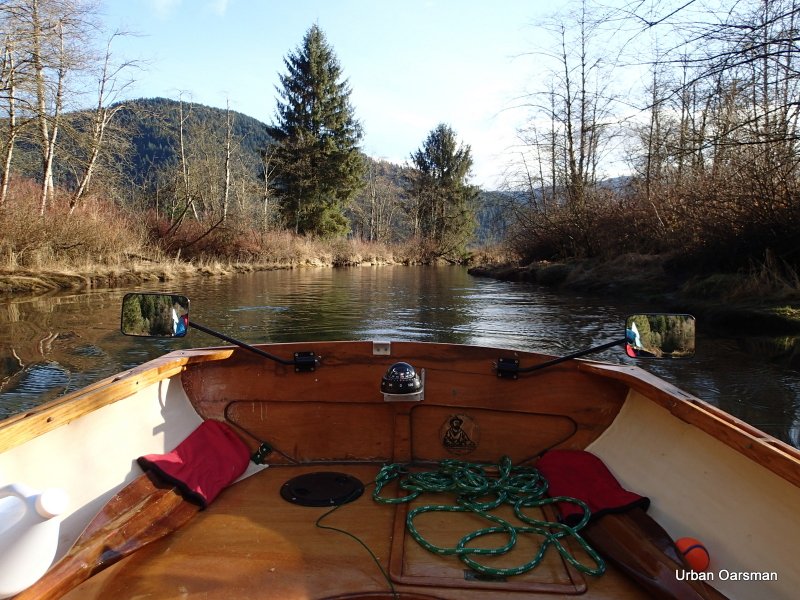
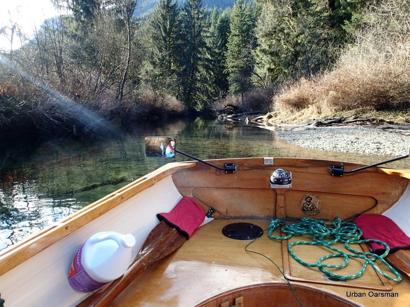
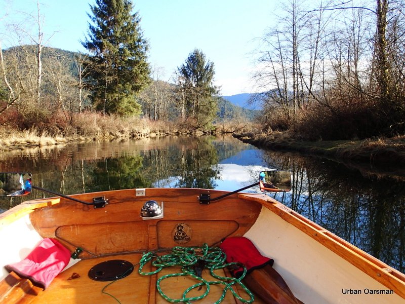
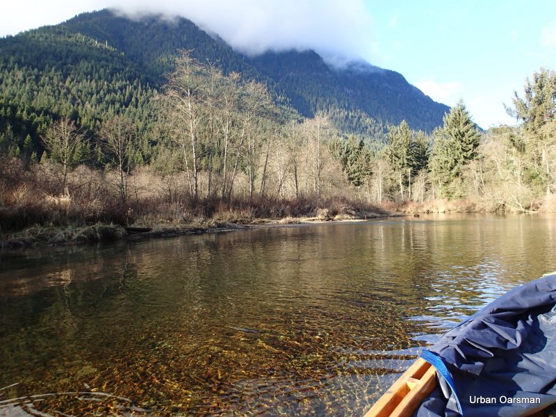
Just around the bend in the clear flowing water. The main channel of Widgeon Creek is free of ice.
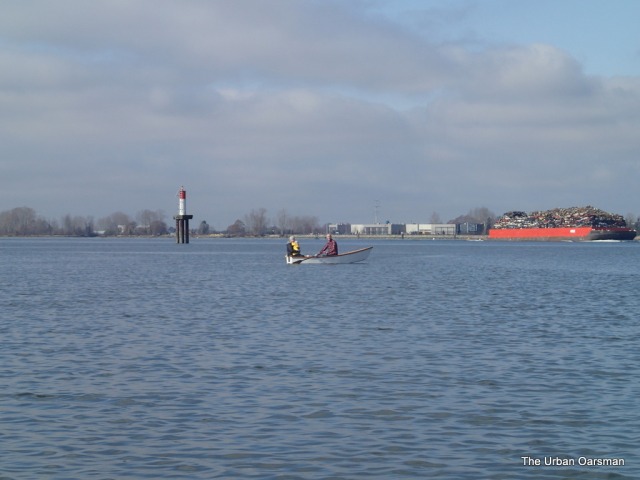
The crew from the Arctic Joule, the boat that attempted to row the North West Passage in 2013 gave a presentation at the Centennial Theatre in North Vancouver, on Nov 26th (Tuesday) at 7.30 pm, just blocks away from my house. They shared stories from their rowing expedition in the Arctic. They had pictures and film clips from the expedition. Their boat “The Arctic Joule” was on display outside the theatre. What a lot of windage their boat has. Their training regime seemed to be training to be miserable or training to be used to being in miserable conditions. This photo reminds me of what the shoreline usually looked like in their photos.
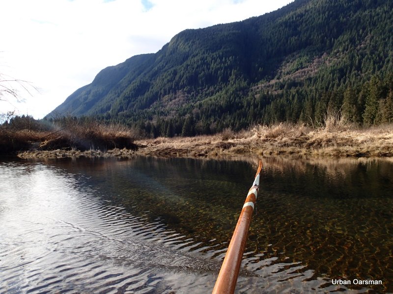
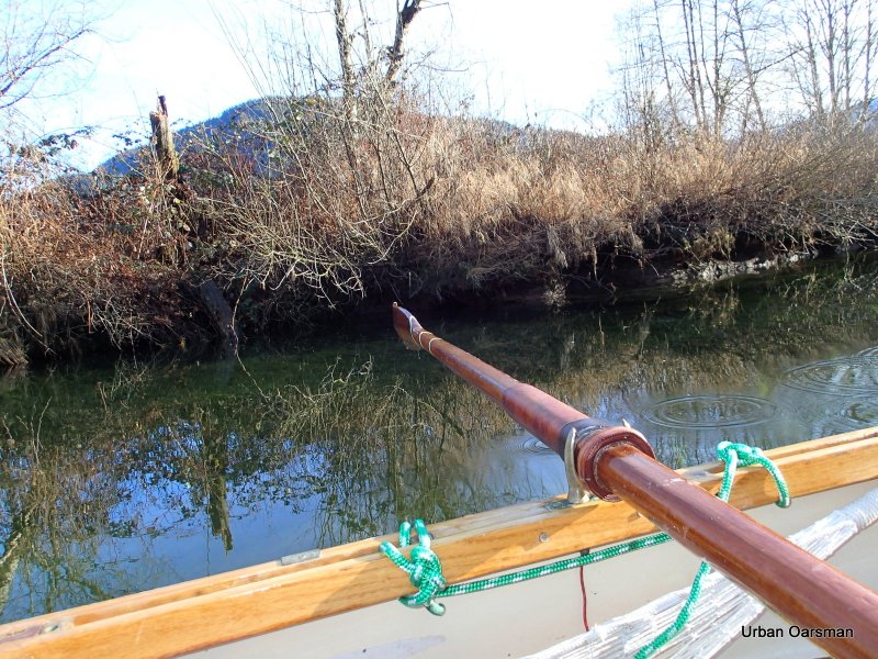
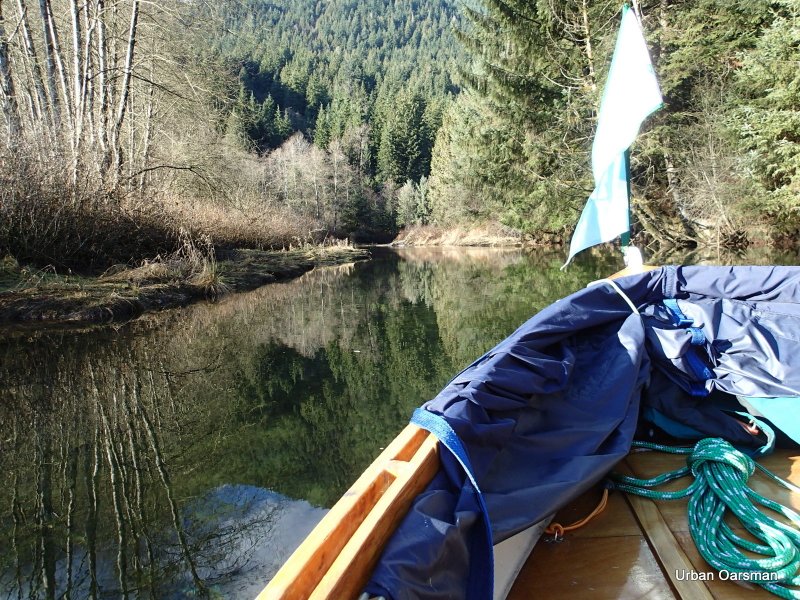
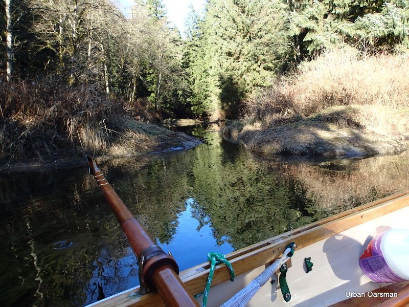
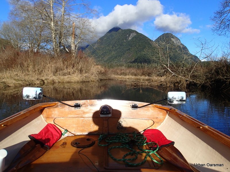
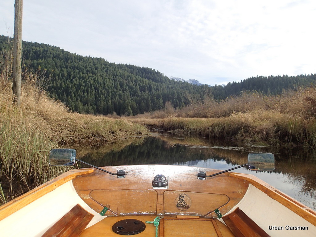
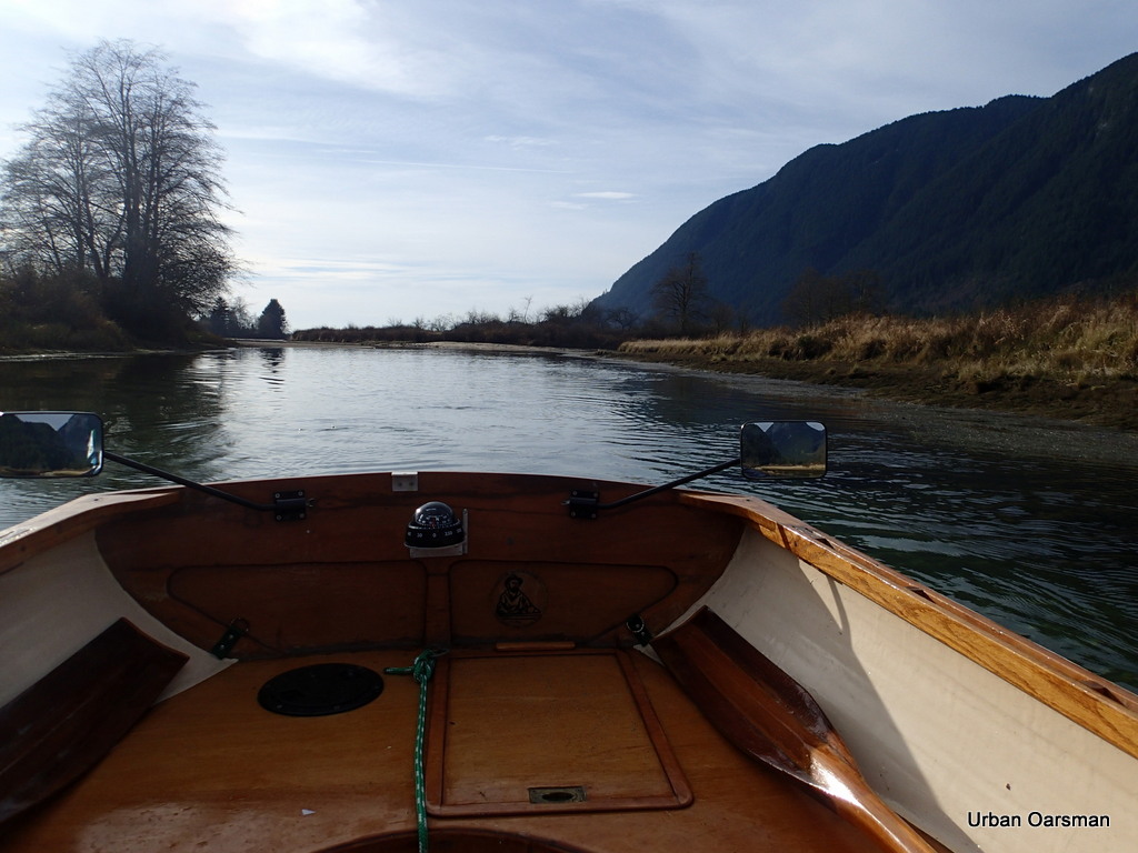
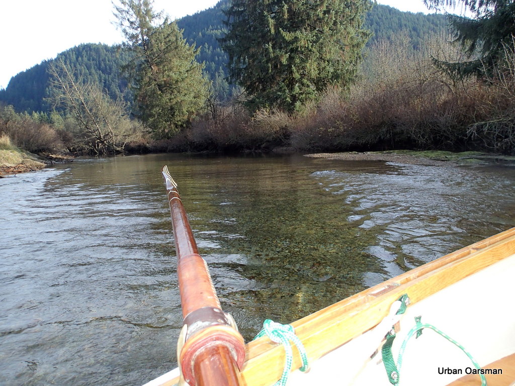
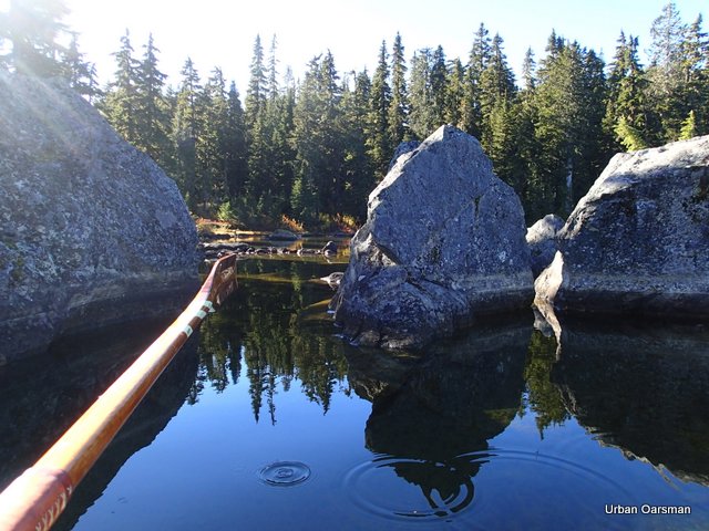
Continuing up the channel. The channel is wide enough that I feel confident rowing bow-in.
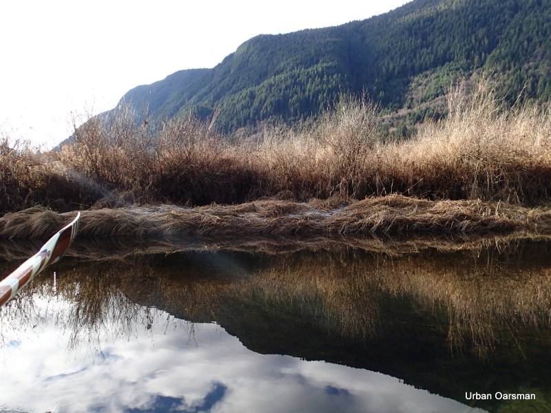
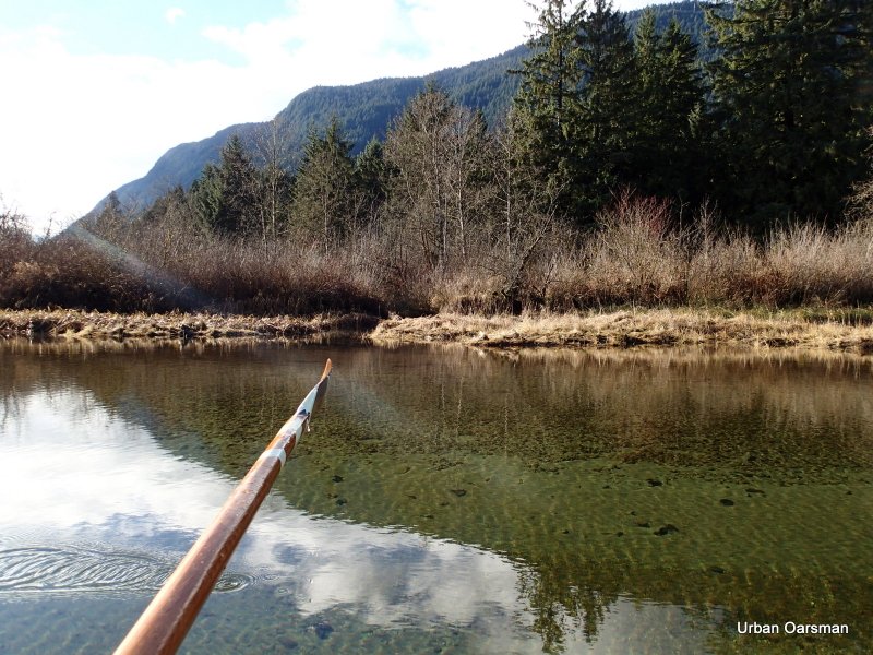
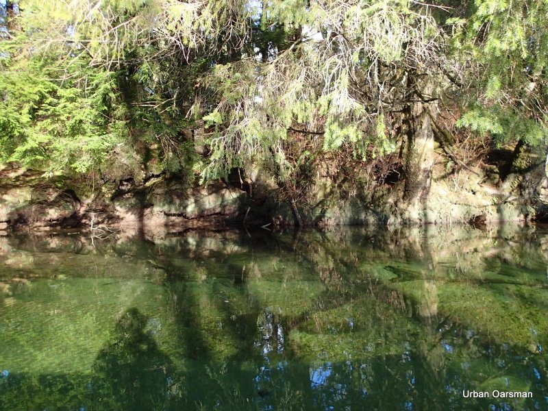
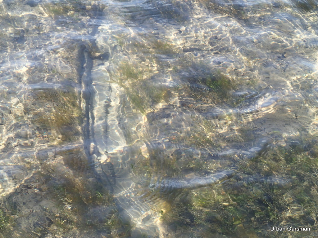
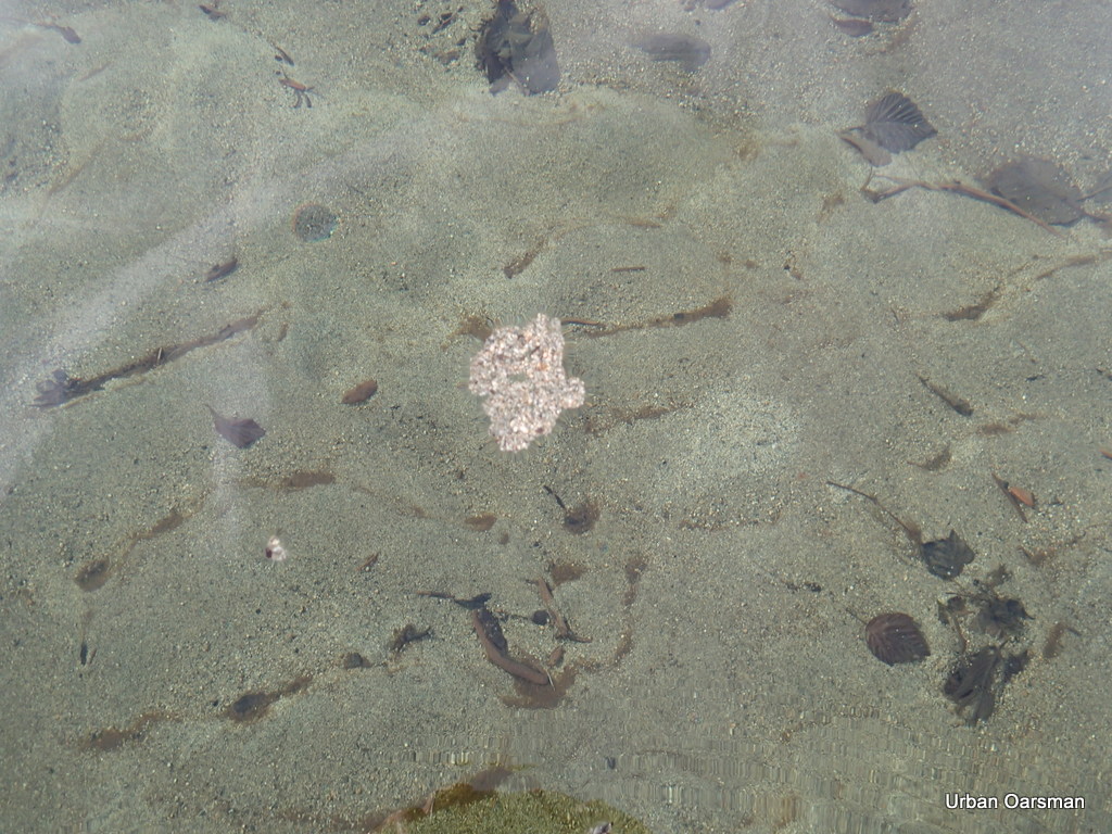
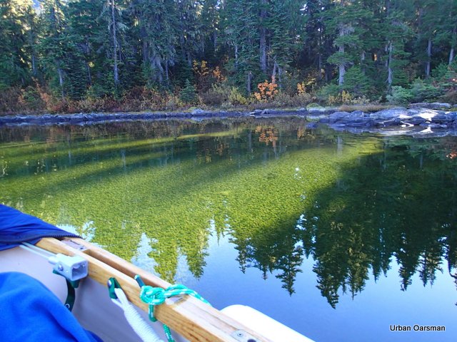
The water is really clear. I move over towards the shore to have a closer look.
The ice sheet is frozen to the top of the reed beds. My oar is resting on the ice frozen to the weeds.
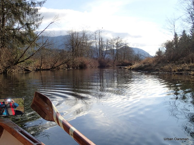
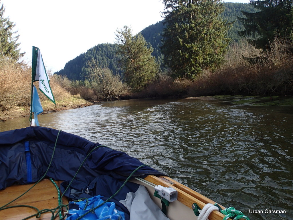
Continuing up the channel.
Do these rings of ice indicate the high water level?
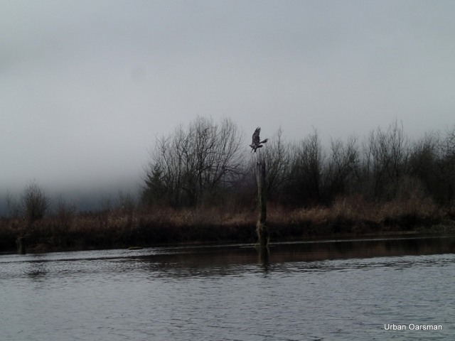
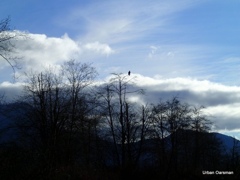
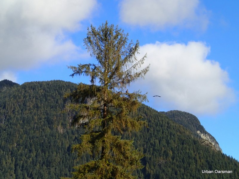
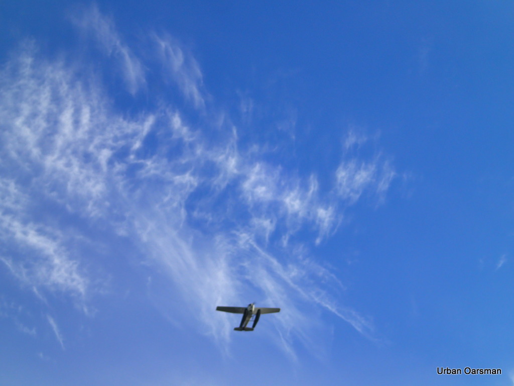
An eagle flies off.
Why are these icicles bent downstream? Current? Wind? What?
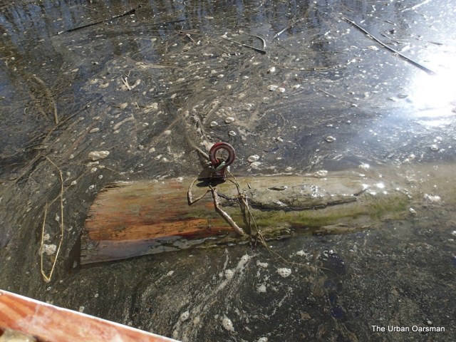
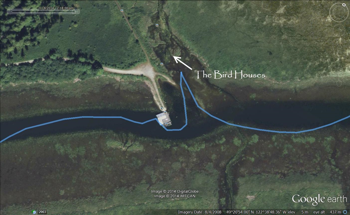
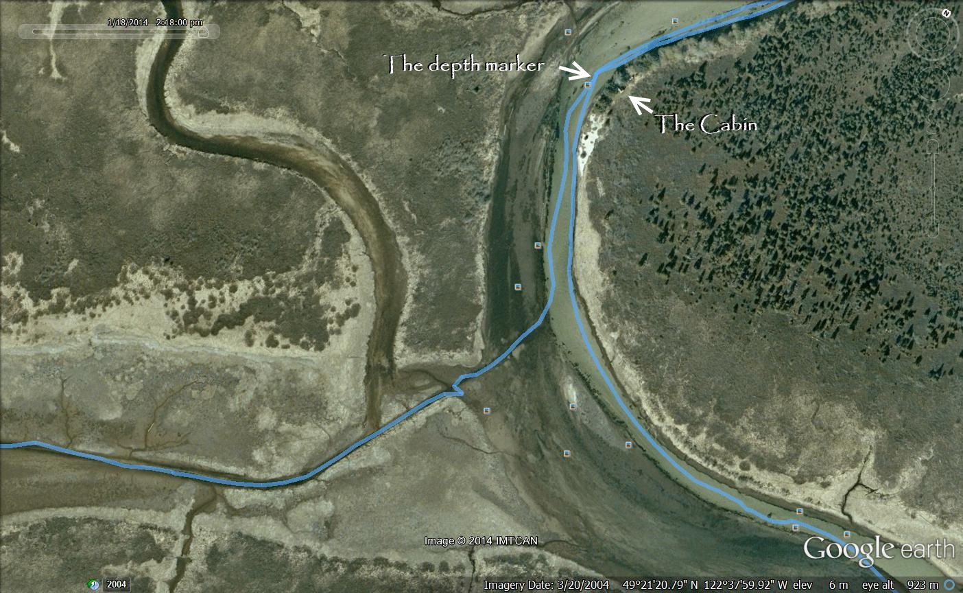
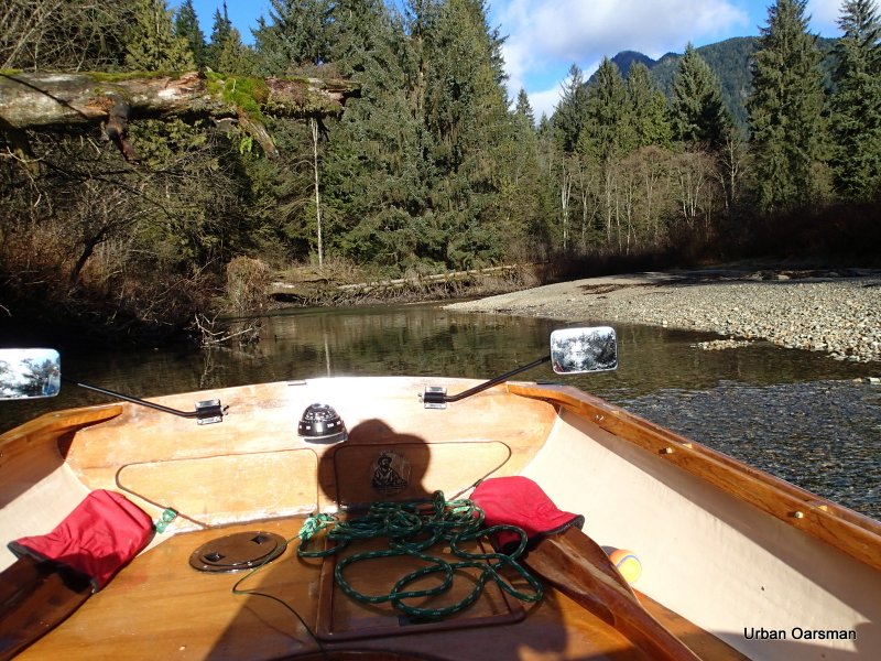
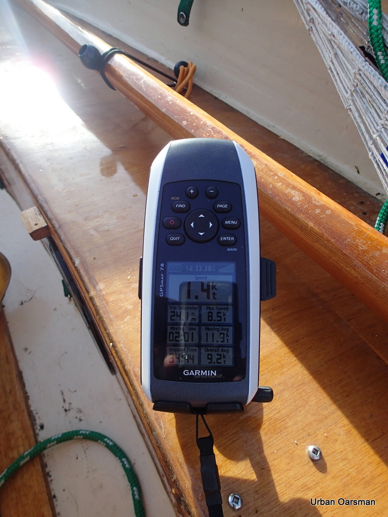
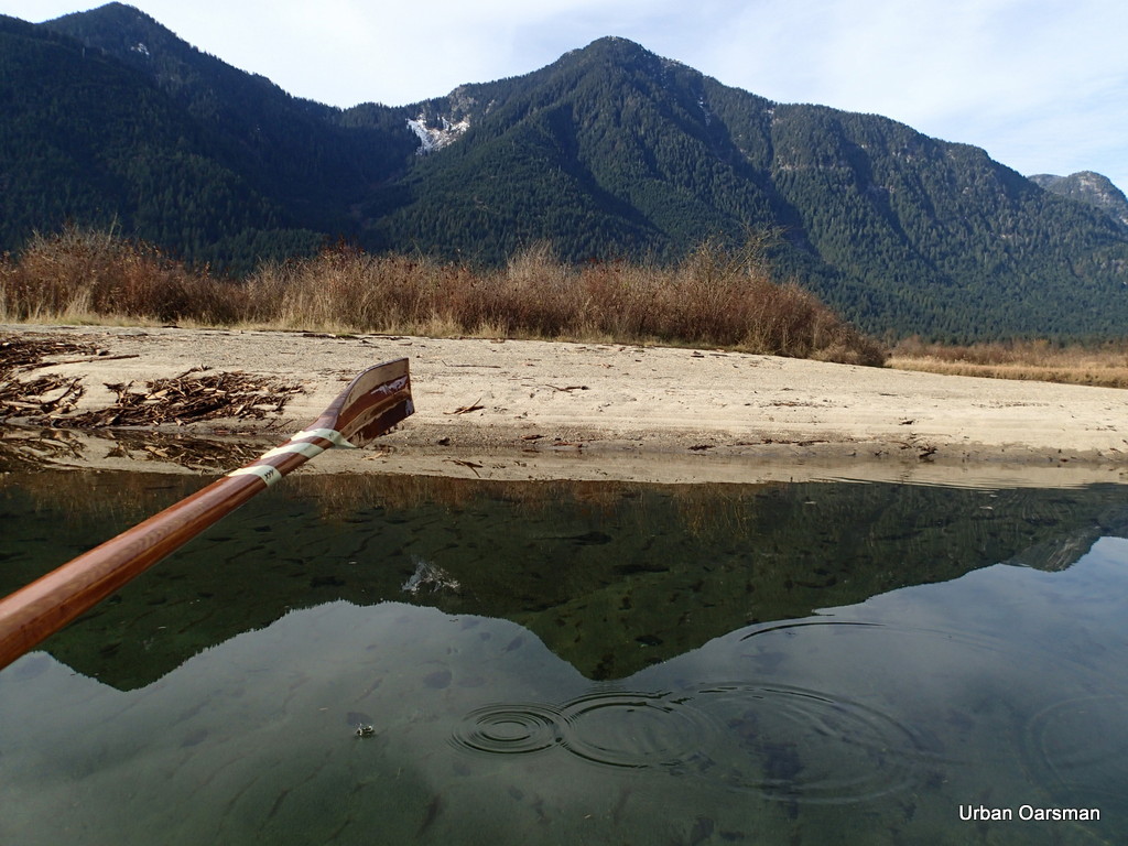
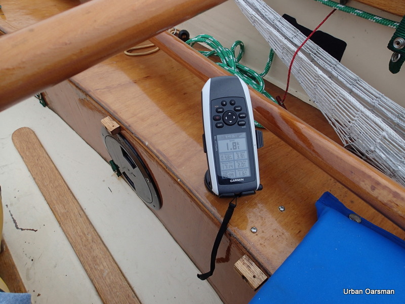
The Cabin depth gauge shows three feet. May be shallow going upstream.
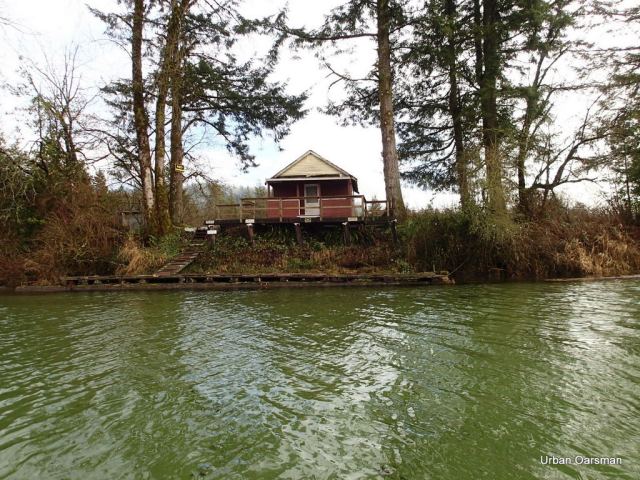
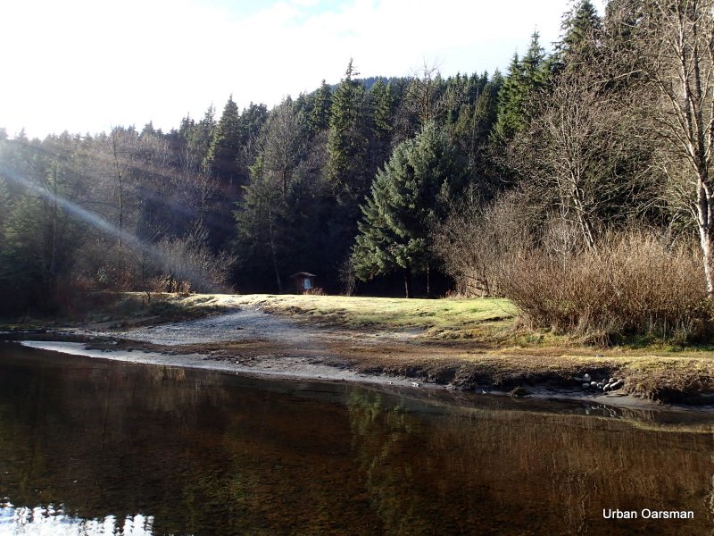
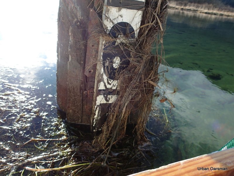
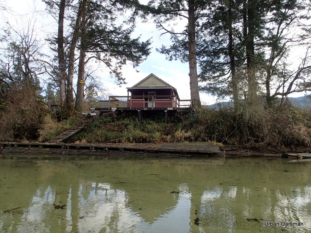
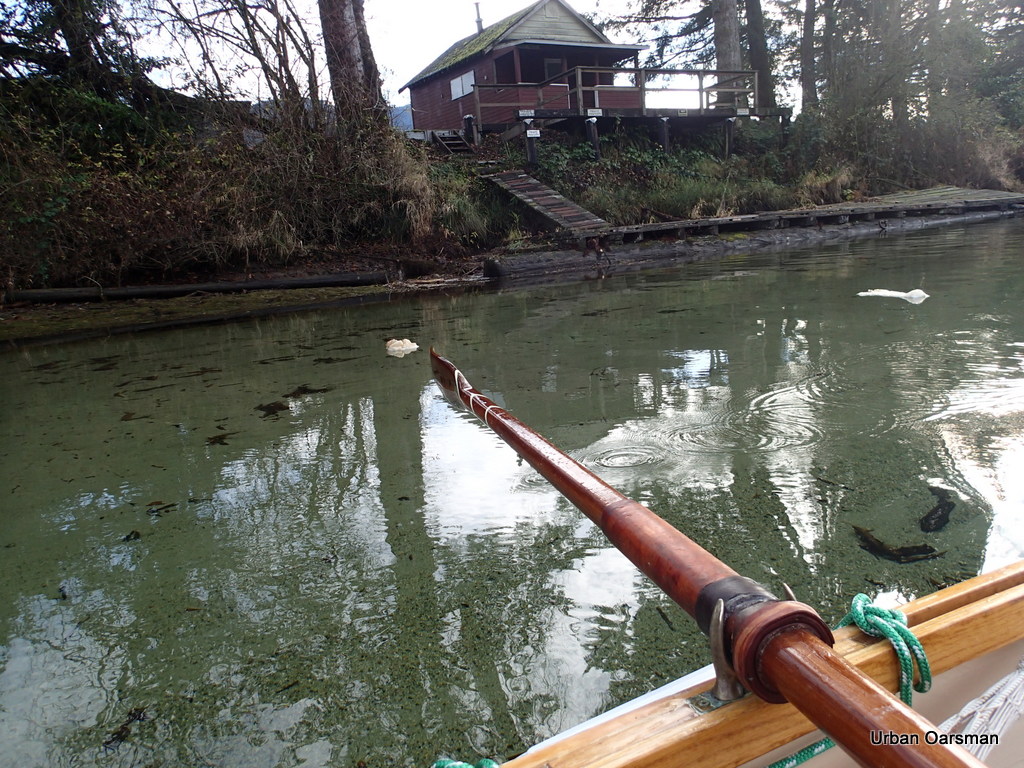
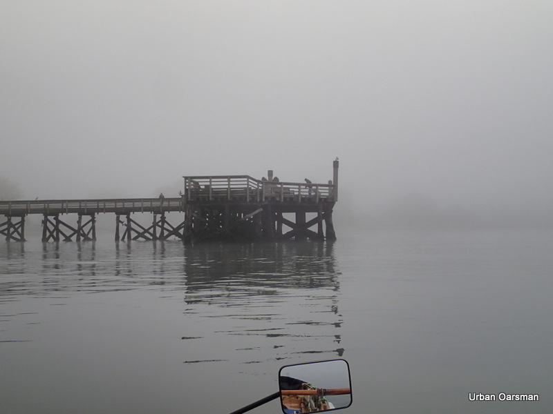
The “No Trespassing Cabin” and dock. Note the ice forming.
A little ways upstream from the cabin. There are icicles hanging from the branches. Any branch hanging into the water had ice on it. I noticed that my oars were starting to get ice on them.
Interesting ice formation. What caused the ridges?
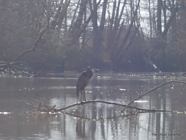
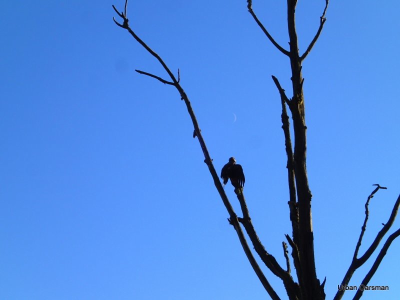
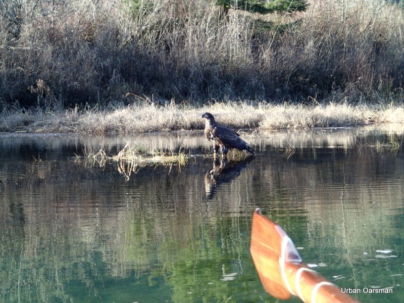
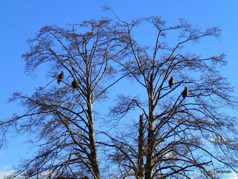
An eagle in a tree overlooking the creek. I saw more eagles on this trip than any other one.
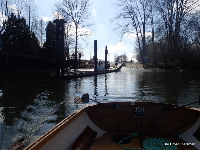
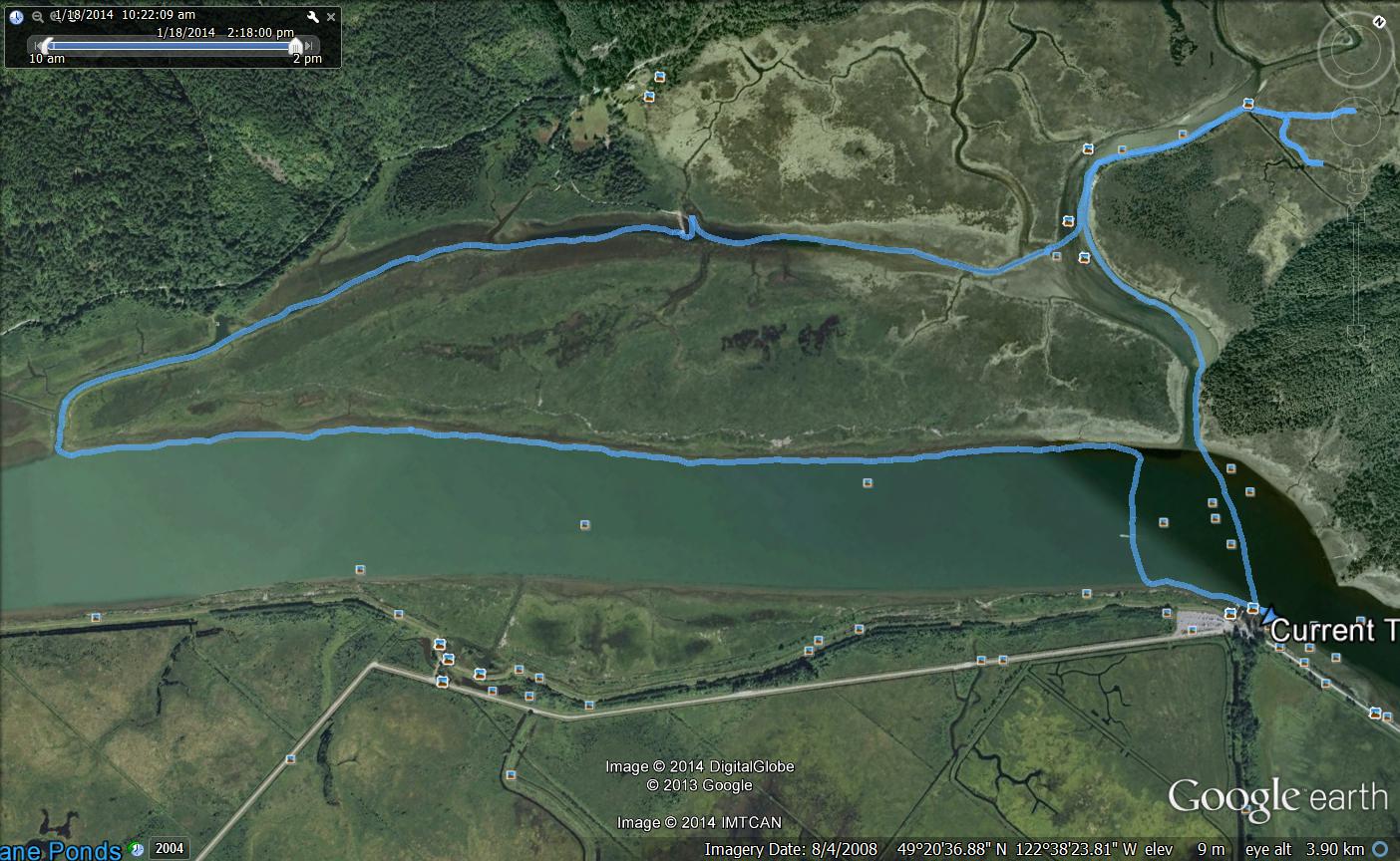
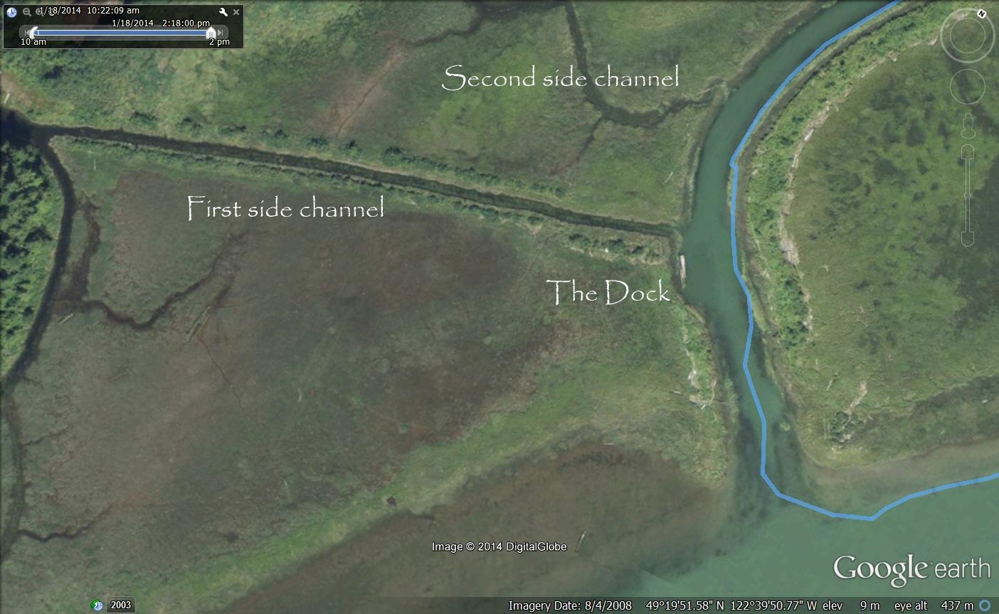
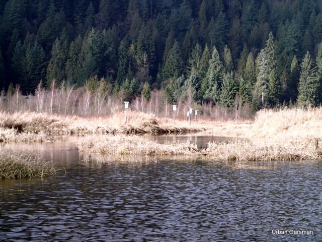
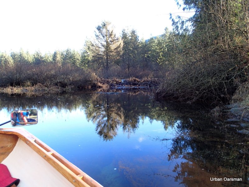
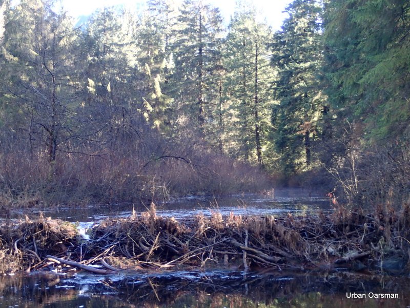
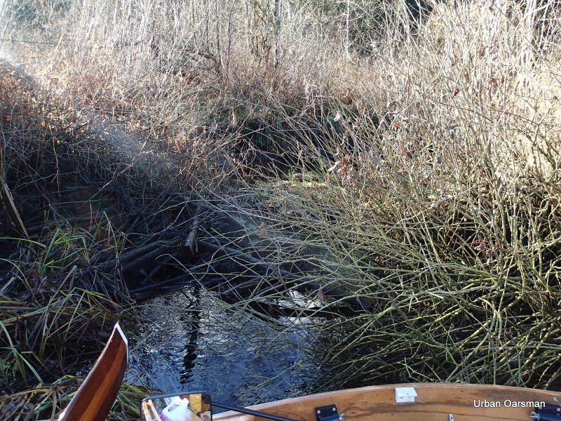
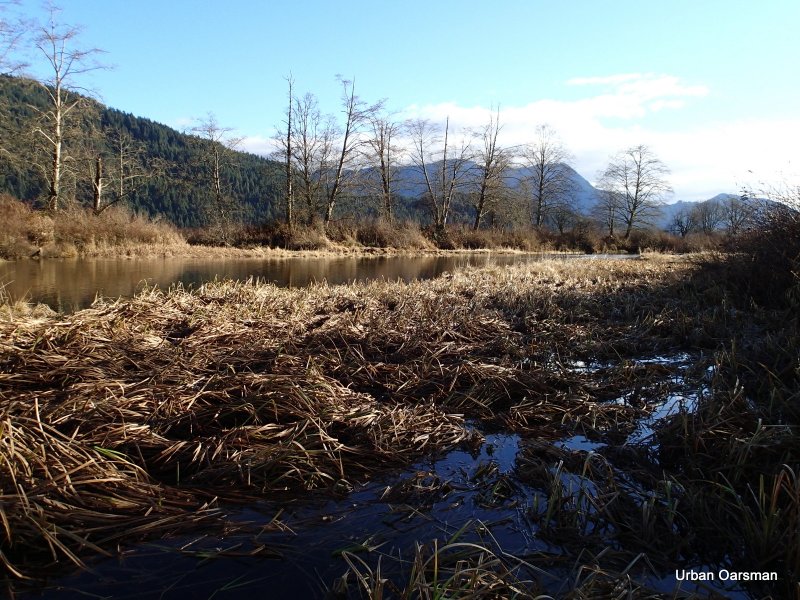
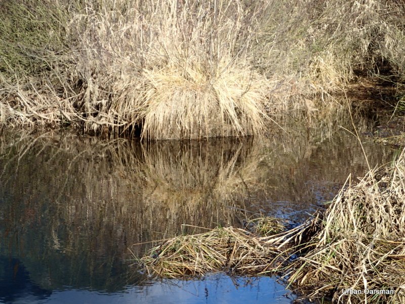
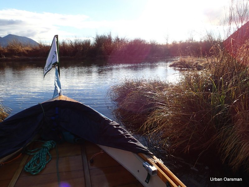
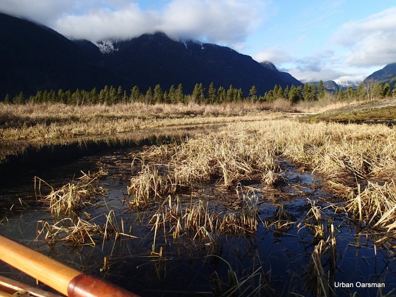
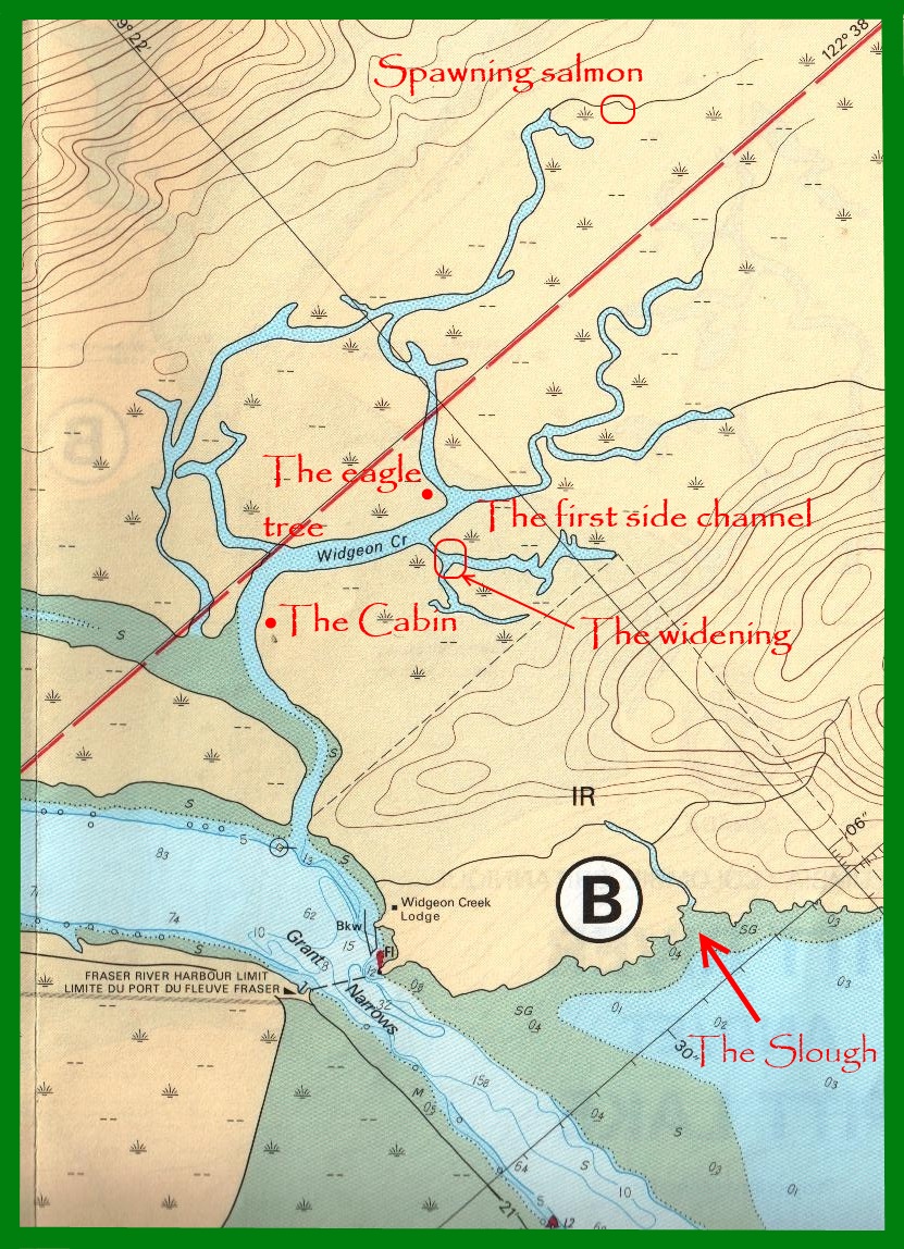
The first side channel. In the past it has been too shallow to row up. Today it is too frozen.
As far as I can row before I hit the too thick ice. Where ever there is no current there is ice.
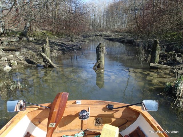
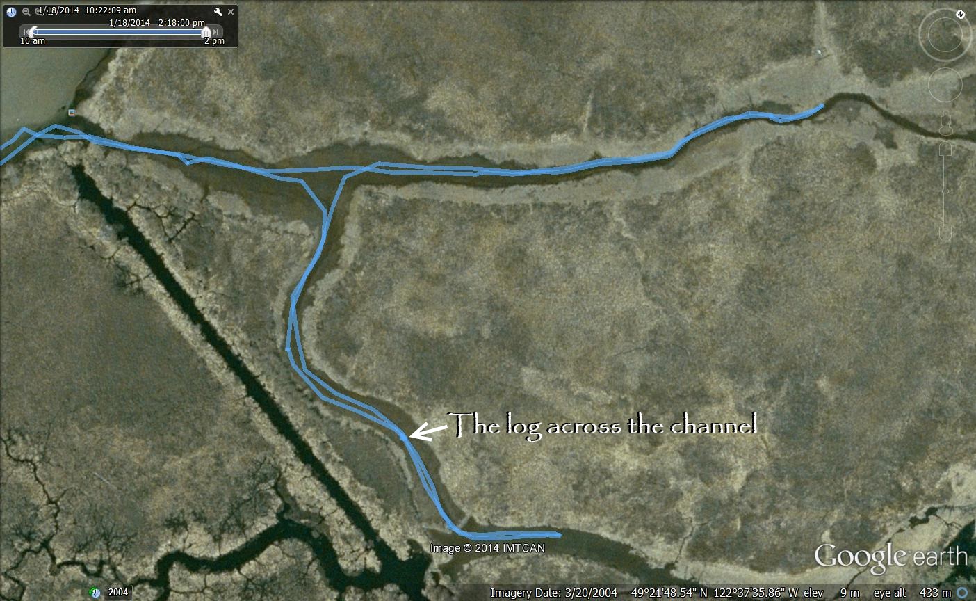
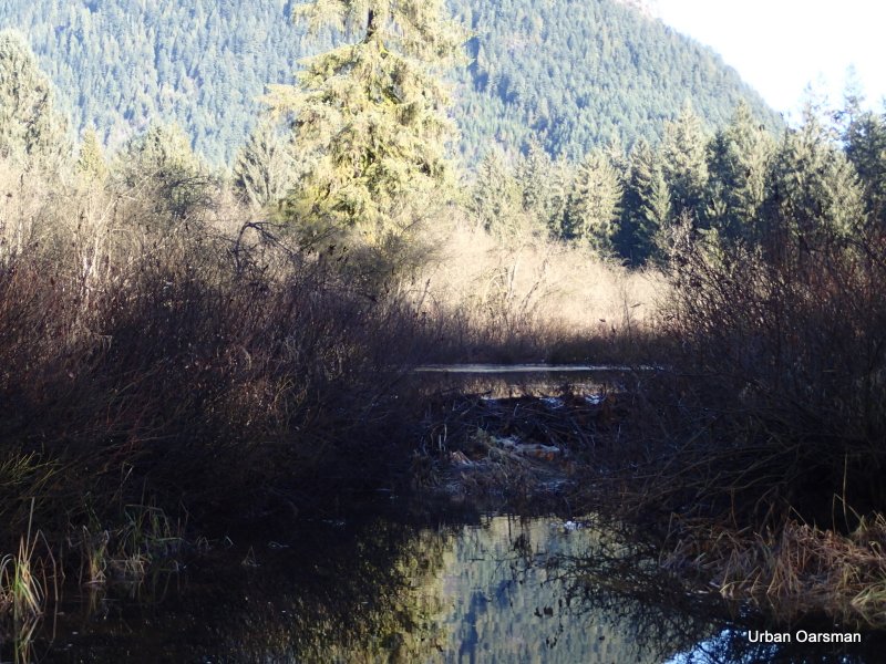
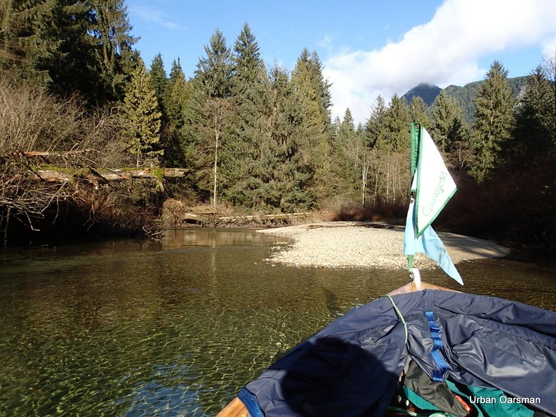
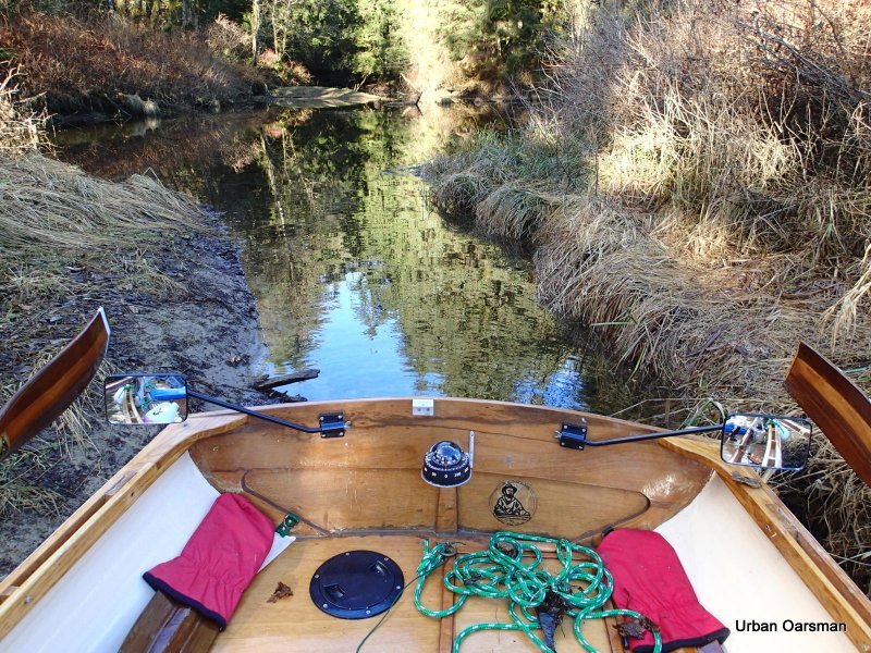
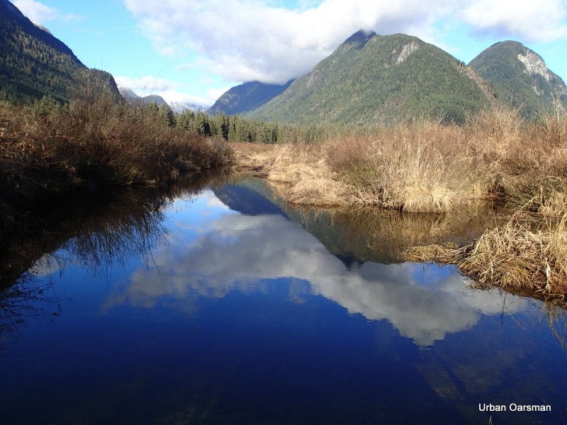
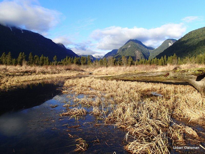
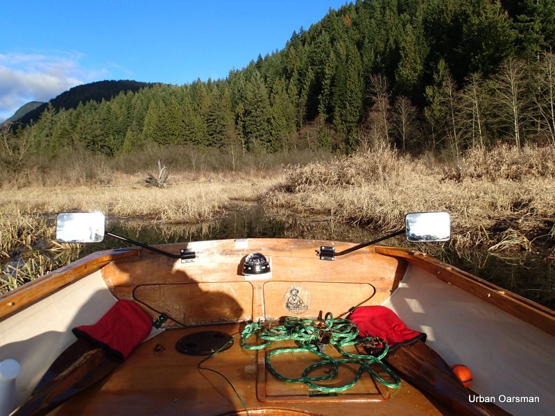
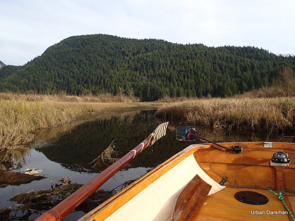
The fork in the Creek. The left fork leads to the camp ground, the right to the head of the creek. I choose the right fork and row to the end, hoping to get further than the last time.
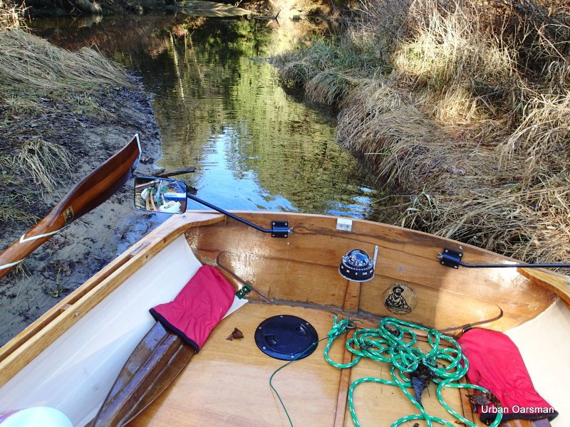
The left fork to the campground.
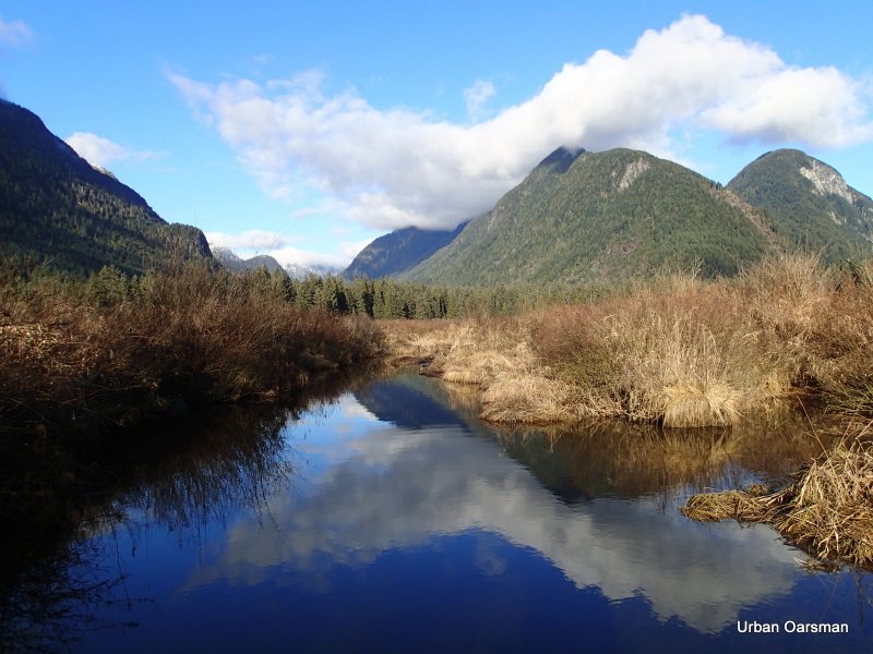
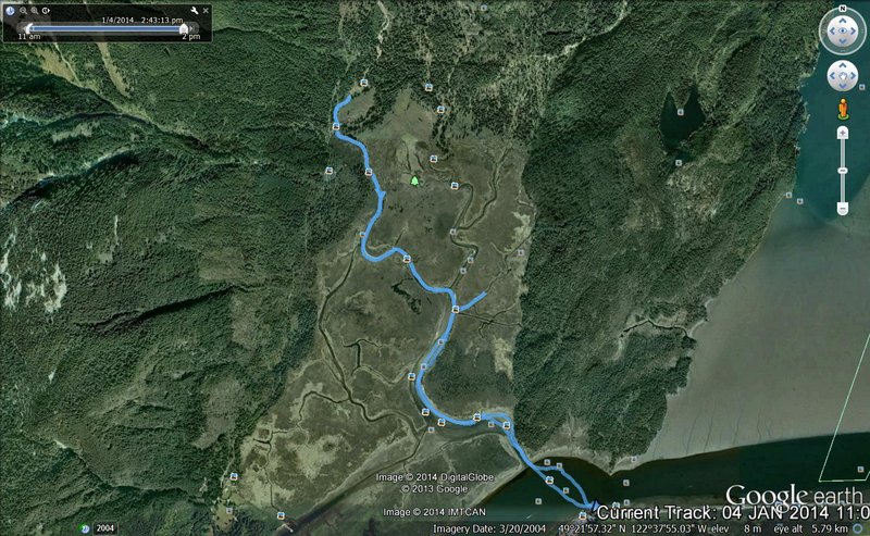
Going up the right fork. According to the topo maps, the two forks join, because upstream Widgeon Creek splits into two to go through this marsh. I hope to row up one fork and back down the other.
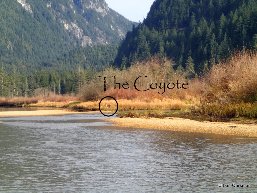
This is where I have to line (walk) Gwragedd Annwn upstream. Last trip there was a coyote on this point. The water seems to be at about the same depth as the last time. Upstream I trudge.
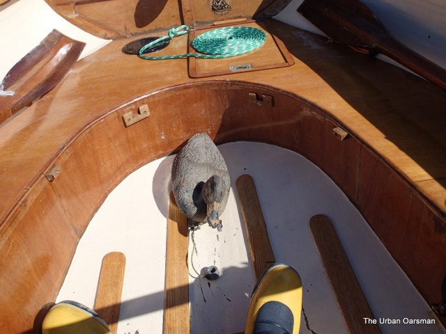
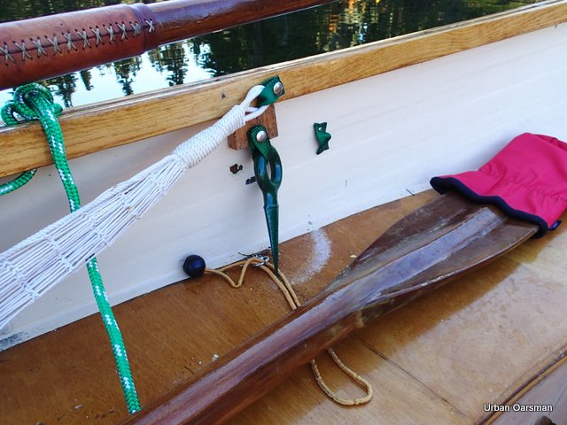
Lining Gwragedd Annwn upstream. The red object on the centre seat is a “Pogie” (rowing glove).
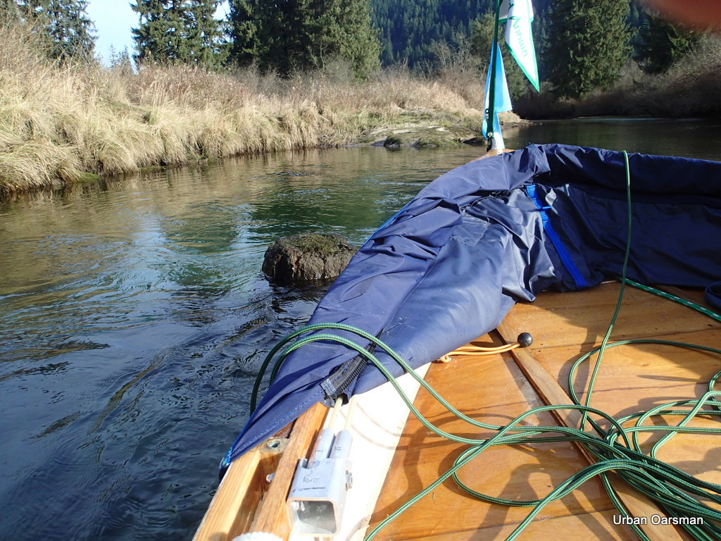
A side channel that can only be reached at high high tide.
Does this ice sheet show the highest water level?
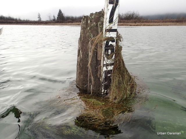
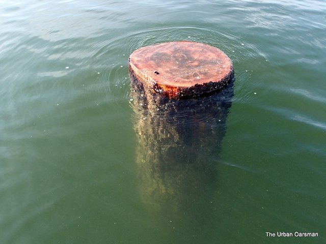
Last trip I rowed into this stump on the way up. I have learned from experience and avoid it this trip.
The right fork shallows again. I line Gwragedd Annwn upstream. This is about as far up as I got the last trip. I really want to push up as far as I can.
Pulling Gwragedd Annwn up through the shallows. Her bow line is 100 feet long and I can pull her over the shallows and into the channel as I work my way upstream.
A deeper spot in the creek, at the top of the shallows.
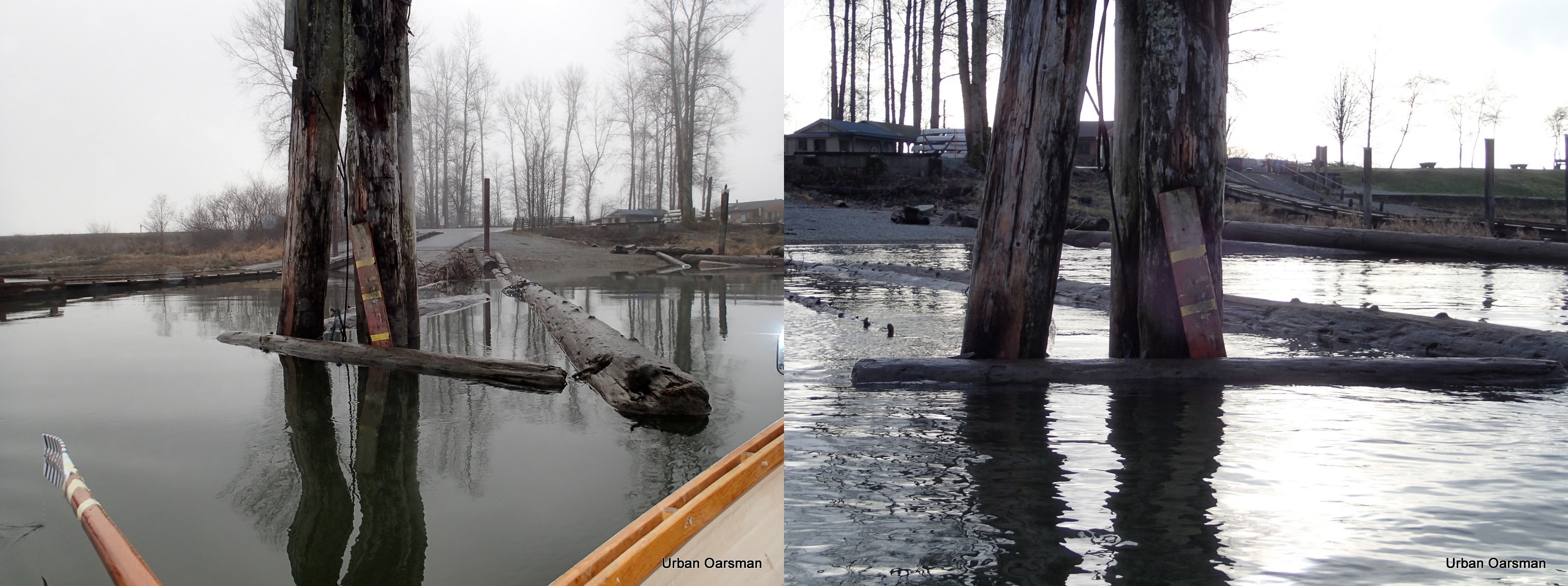
A tree blocks the way. It has been undercut by the current and fallen from the bank into the creek, blocking the channel. I row up to the tree, but, there is not enough water to float Gwragedd Annwn over it. and there is not enough room to pass between the branches.
Should have brought a chainsaw. Probably would not be legal to cut it up to make a passage. I wonder how far further upstream I could go if the tree was not in the way.
Gwragedd Annwn, bow resting on the tree. I need 8 inches more water to float her over the tree. No way I can pass this obstacle. I do not see the end of the fork ahead. How far could I go from here?
I back off of the tree and float downstream. This is as far as I go. Time to try the left fork.
I am running the creek backwards so I can see where I am going. On the way down, I grounded several times. I sat on the side of Gwragedd Annwn to tip her on her side and reduce her draft to get across the shallower spots.
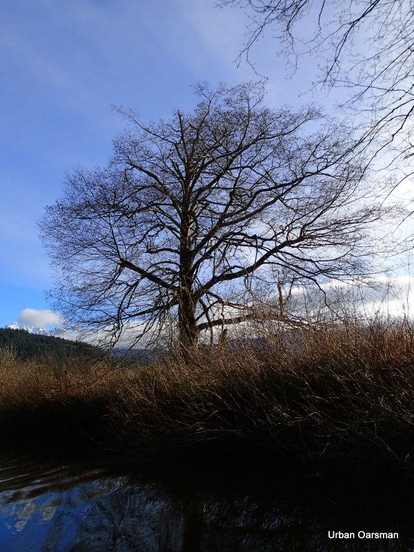
Frost on the banks in the shade.
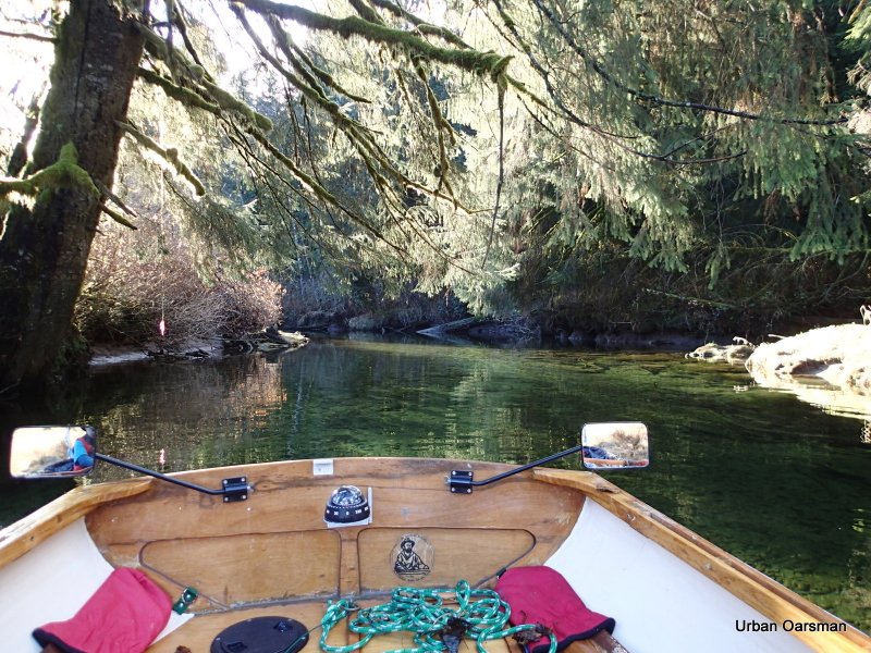
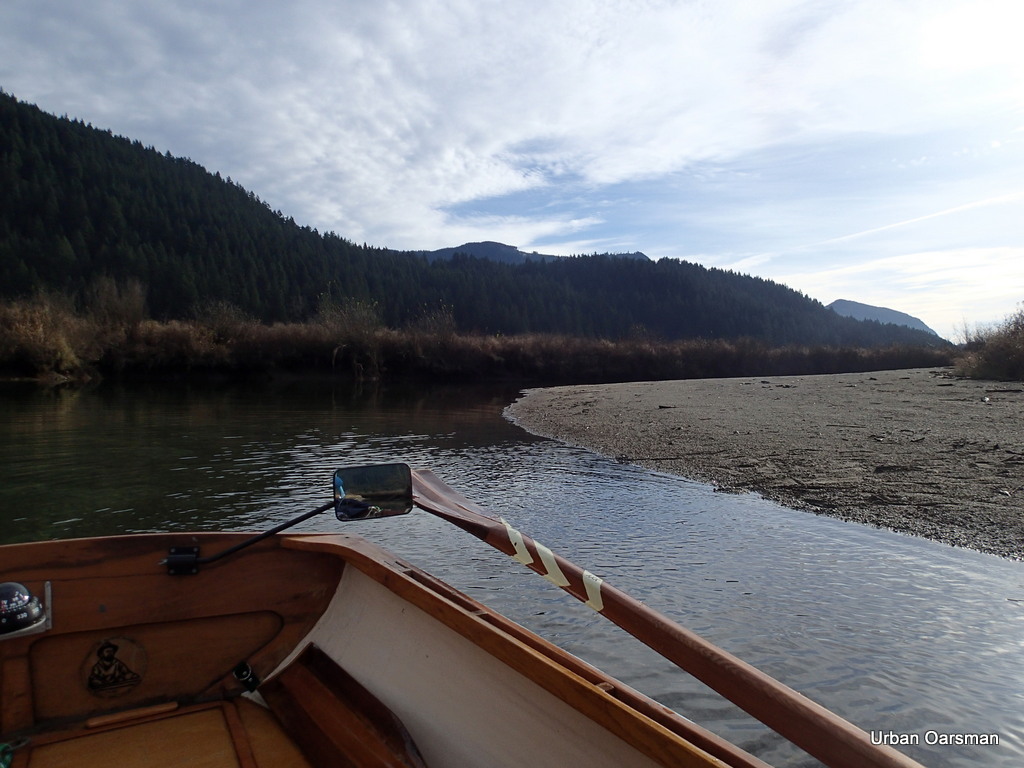
Rowing down the right fork near where the two forks meet.
Rowing backwards up the Left fork so I can pick out the channel through the ice.
Continuing up the left channel. A side channel beckons.
Ice has blocked the channel. Many of the side channels are too narrow for Gwragedd Annwn to row in. I would have to pole her up the channel. I am thinking of putting a sculling notch in her transom just for such occasions.
Ice along the edge of the channel.
This photo shows a side pool being flooded by the tide. I know that the tide is still rising as it is filling this pool. Notice the ripples to the left of the photo. That is the water flowing into the pool.
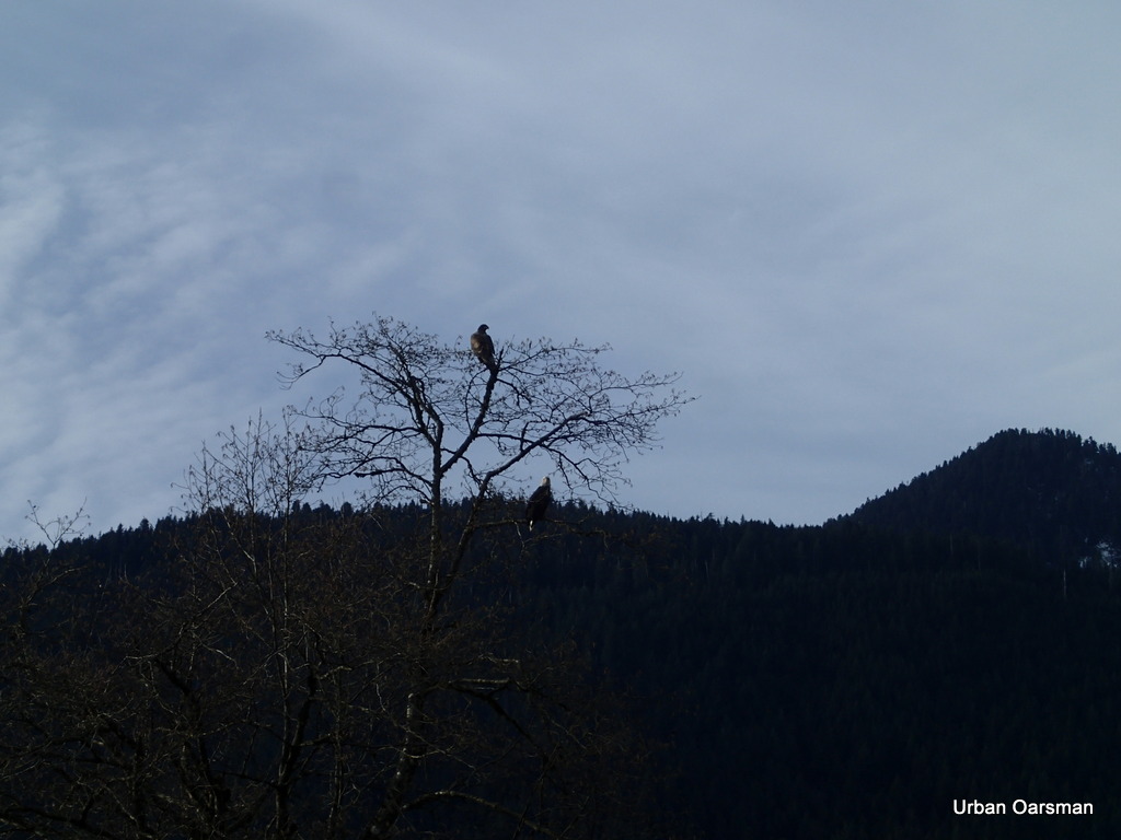
There is an eagle in the tree around the bend.
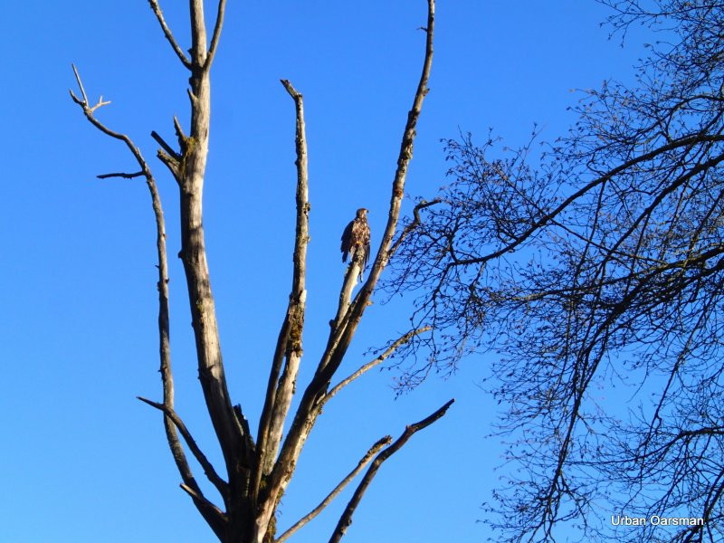
Close-up of the eagle.
With the reduced flow and the width of the channel, picking the deeper channel to row in is not easy. There is another eagle in a tree, top centre right of the photo. This eagle did not fly away and I saw it again on the way back down.
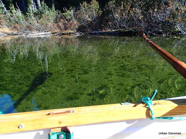
Interesting light pattern on the bottom. The left fork is wide and shallow here.
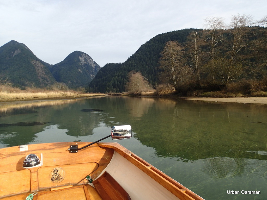
Looking south back from where I came from.
The channel ahead. It looks like there has been movement in the main channel. I am trying to row up the deepest one.
I pick my way upstream. I looks as if high high tide has not yet been reached.
Past where the channel has shifted. The old channels seem to have a gravel bottom and the newer ones are narrower and do not have the gravel bottom of the older channels.
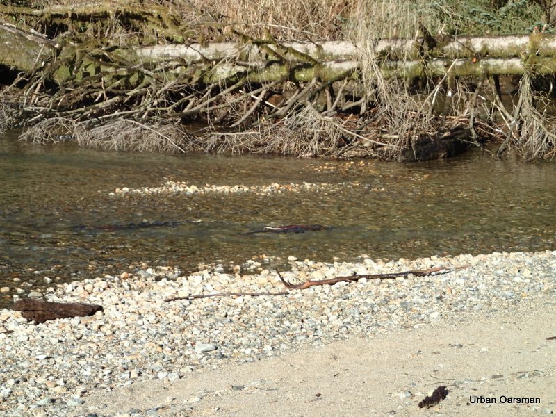
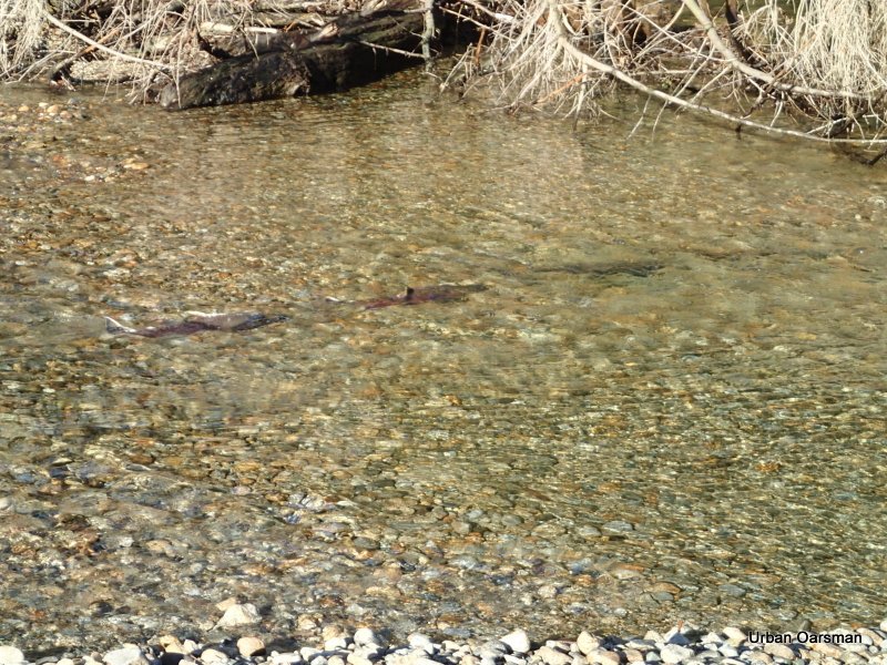
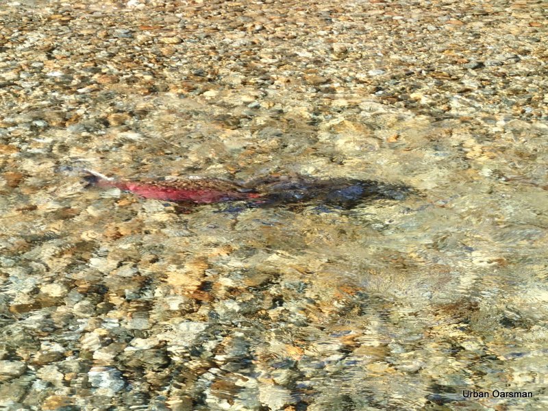
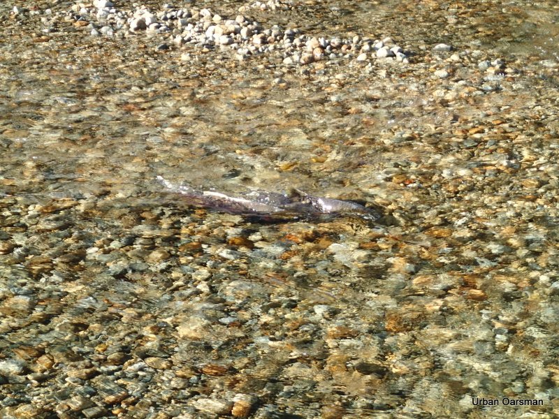
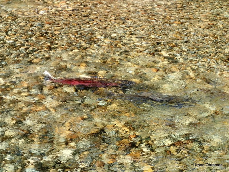
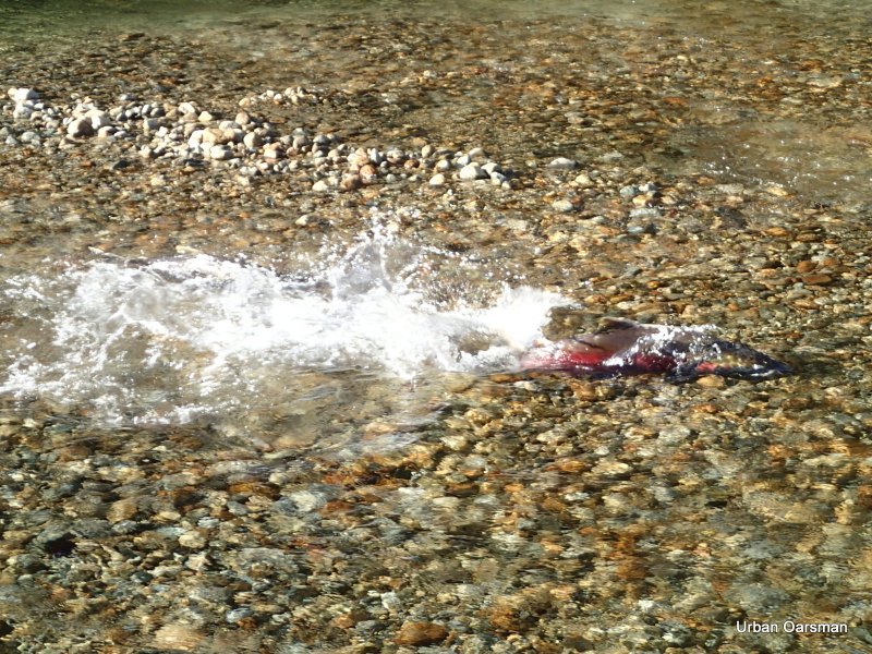
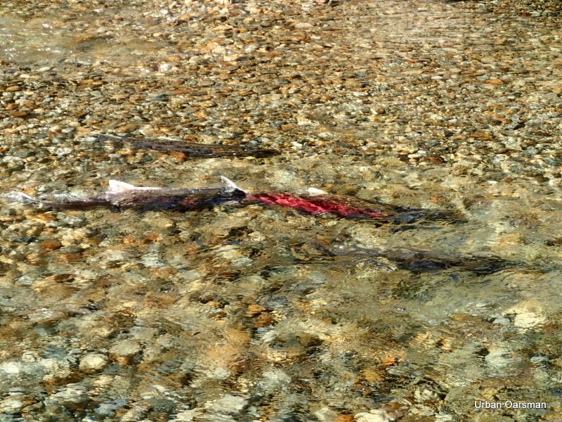
Salmon in a pool near the head of the left fork. There were probably more that a hundred of them. Were they waiting for the tide?, or for more rain to swell the creek?
As far as I can go. The creek is too shallow for Gwragedd Annwn to be pulled further ahead. I counted three sets of shallows ahead that I would have to pass before the deeper pool in the distance.
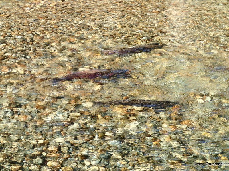
The salmon in the pool at the end of my row.
Another picture of the salmon. I would guesstimate that they were all about two feet long.
The ice sheet on the shore seems to indicate that the tide will raise the water level here. I know that the tide is rising still, but, I do not have the time to wait for it. The time is 1:15 pm. How much longer will the tide rise? I will not find out this trip.
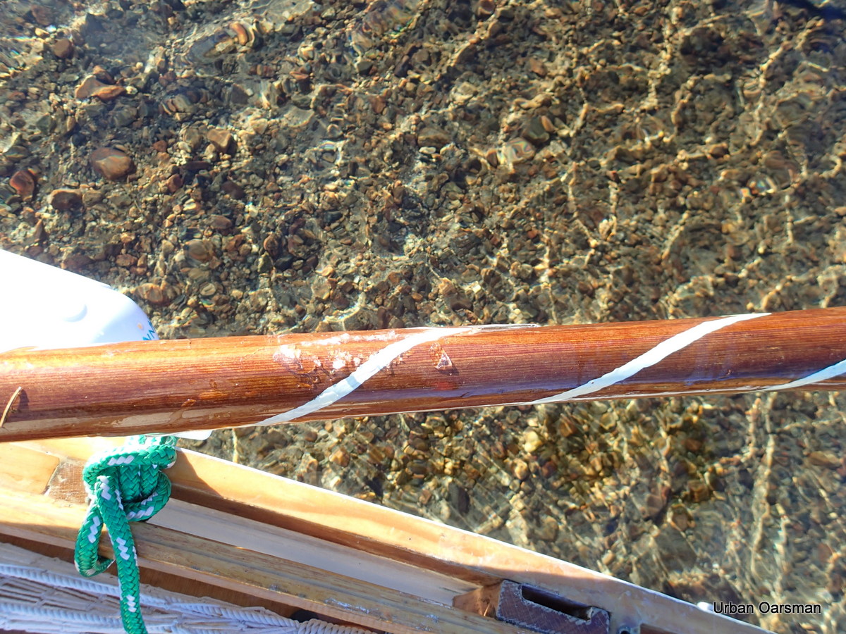
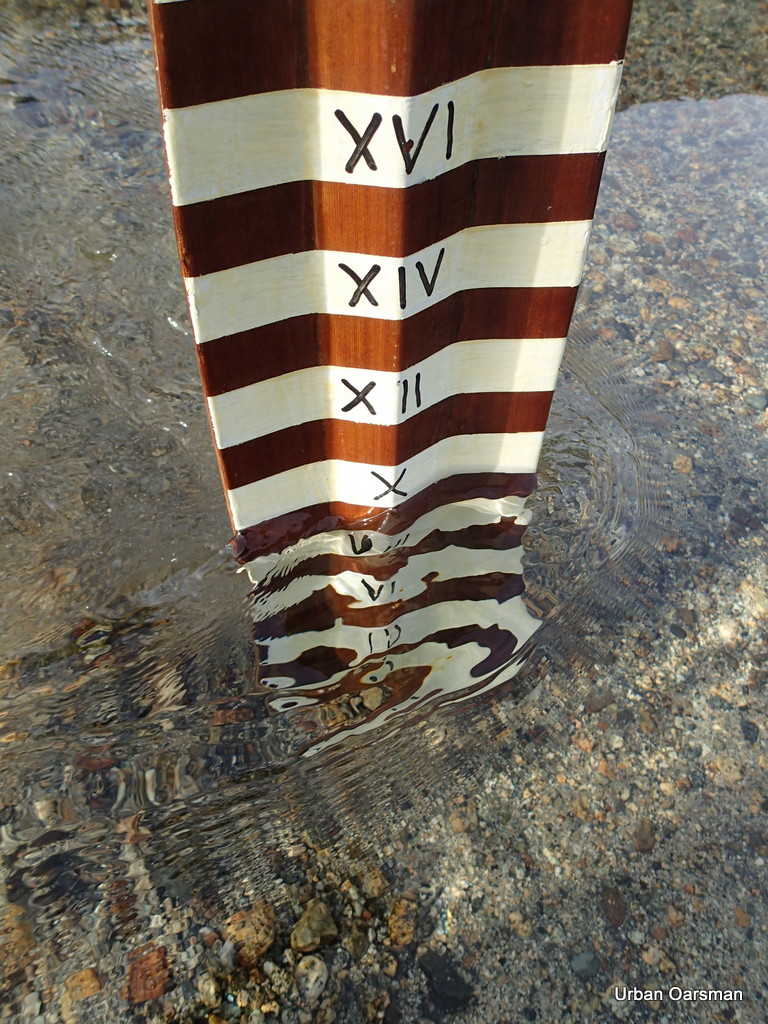
This is a photo of the ice forming on the oar. The temperature never got above freezing, even in the sun. The white lines show the water depth. 24 inches, 18 inches and 12 inches. Most of the ice is by the 24 inch depth. There was no ice on Gwragedd Annwn’s hull.
Rowing backwards the channel, the eagle tree is in the distance.
Walking Gwragedd Annwn past a shallow spot.
Floating patches of sand. This is a rising tide phenomena that only happens on dry days.
Ice lining the channel. Heavier on the South (shady) side.
A little further down the channel. I am skirting the ice to stay in the deeper channel.
Passing the side channel on the way down stream.
More floating sand.
Where the left and right forks meet. You can see the path I made through the ice on my way up.
The beginning of the freeze. It seems as if the “stars” of ice form and then fill in between the arms.
Heading towards the cabin. I am following the path I made going up.
Looking up river at the ice.
The creek freezing up near the “No Trespassing” cabin.
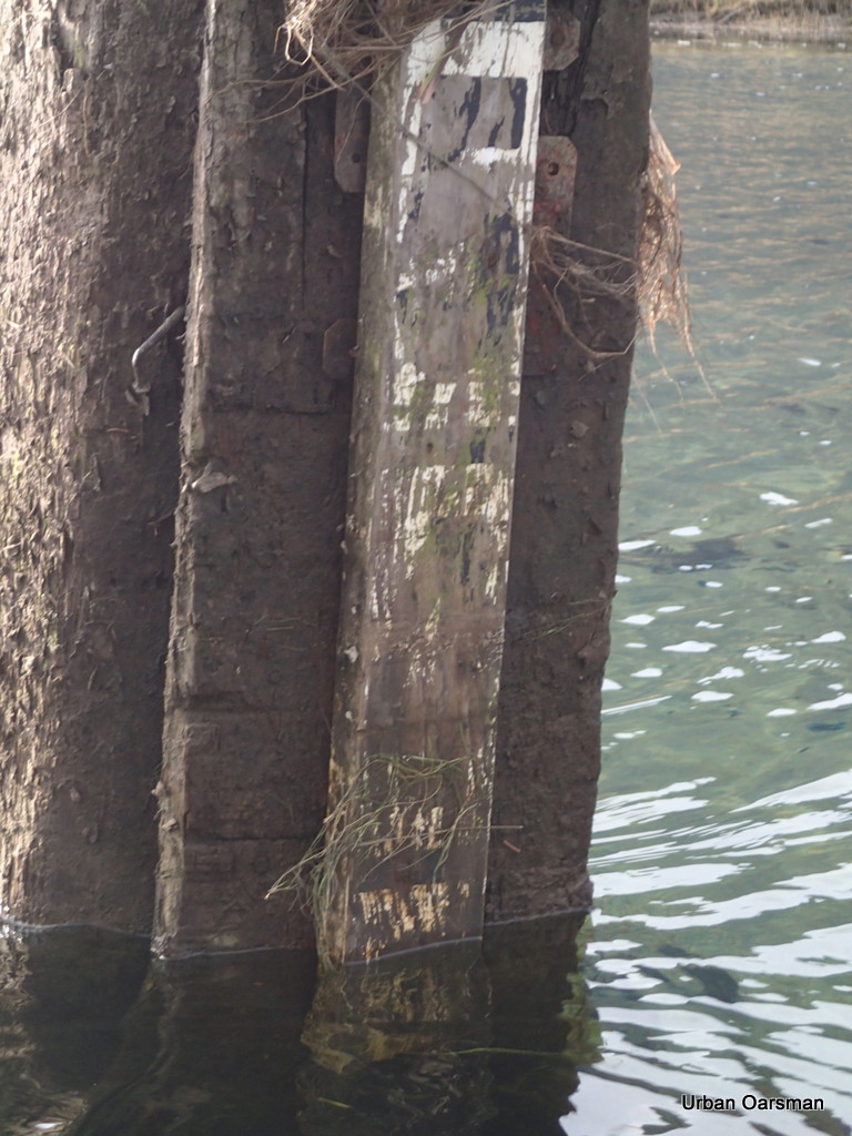
Four and one-half feet of water? It read below three feet when I went upstream. Maybe another foot to rise? I will have to come back and try to find a correlation between the Point Atkinson tide times and the tide times here. I will clean off this marker the next time I am here.
Passing by the stump on the way out. Not as much ice as there was on the way in.
The ice on shore says that the tide will rise higher still.
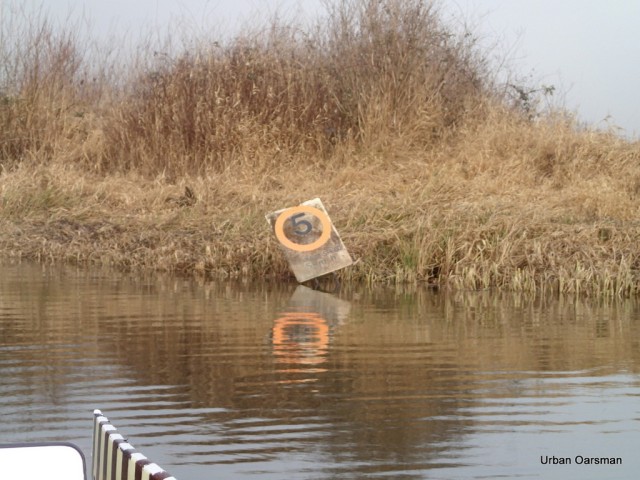
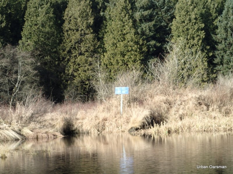
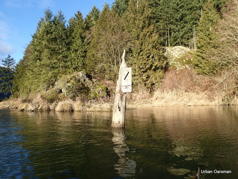
The No Power Boats sign. Did the ice drift up stream? Did it go into the Pitt River and go downstream?
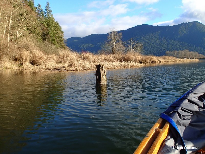
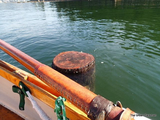
The first stump at the entrance.
 |
| On the way out |
The stump is almost awash. Compare this photo one take on the way in….
 |
| On the way in |
I should have taken them from the same distance, but, the rise has been between 18 inches to 24 inches. There is about four hours between photos. An average of an inch every ten minutes.
The current is still going up river into Pitt Lake. How long will the tide rise?
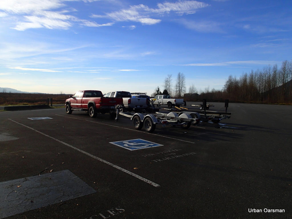
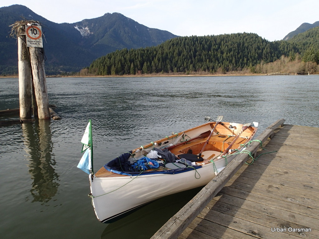
The boat launch at Grant Narrows.
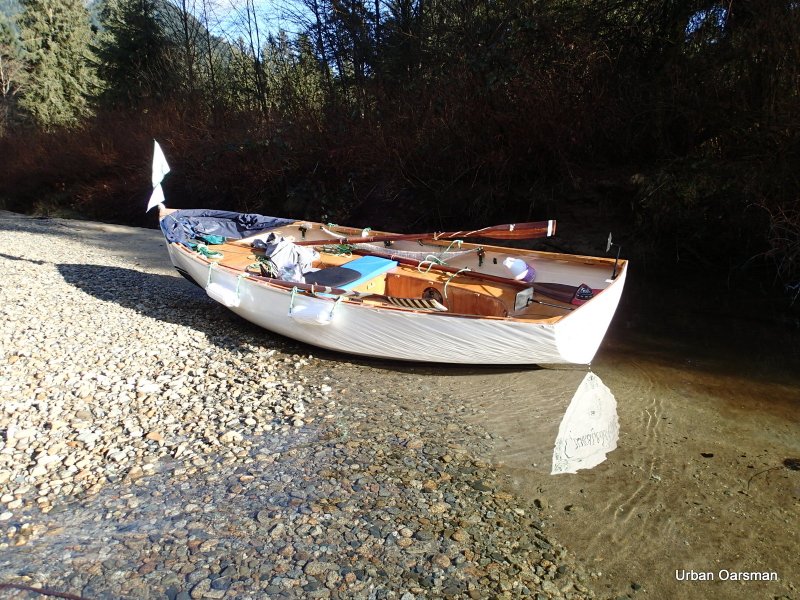
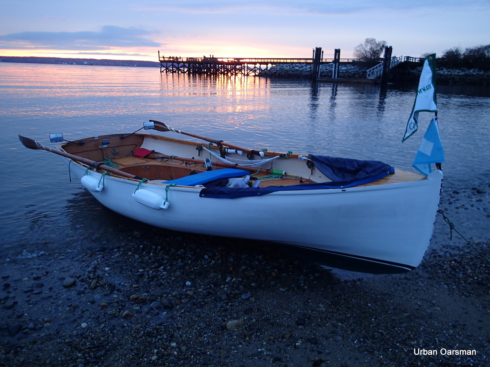
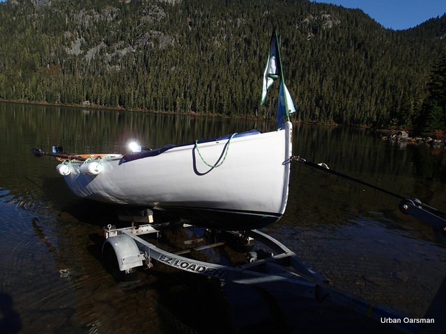
Back on the dock. Gwragedd Annwn sustained no ice damage to her bow. Her epoxy-strip construction is very tough.
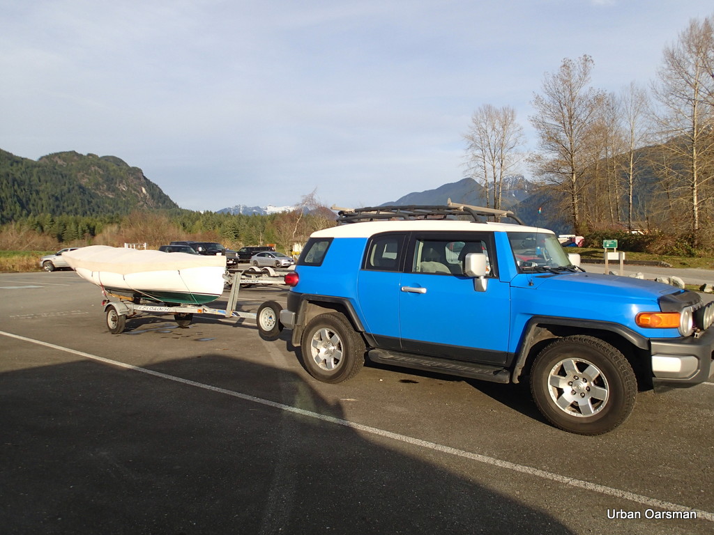
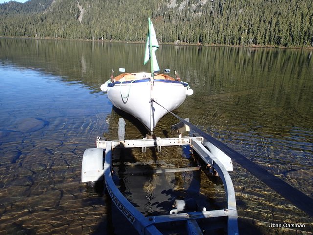
Hauling Gwragedd Annwn out on her trailer. I will prep and tie her down for the ride home in the parking lot.
This photo shows that the tide is still not up to the last high high tide level. The weeds show the hight that was last reached. I will have to come when the tide reaches its maximum while I am rowing.
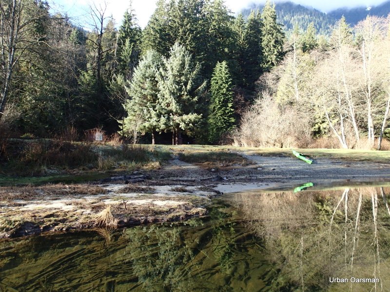
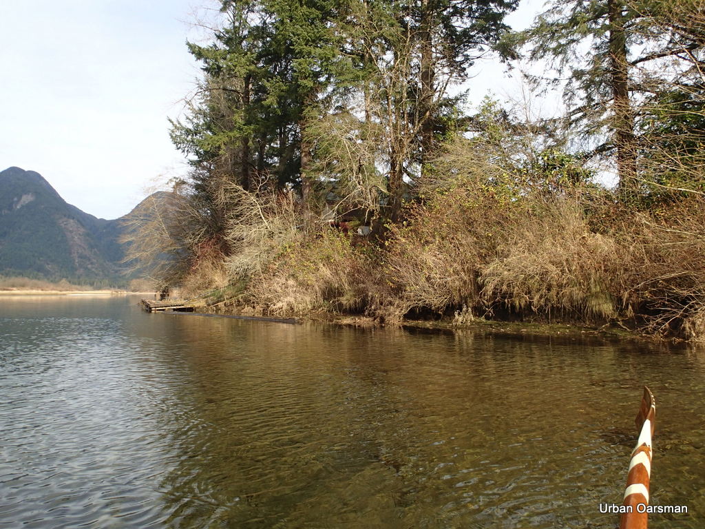
This is a picture of Catbird Slough, a canal that goes into Pitt Marsh. I would like to row it in the future, when it is not frozen. The slough looks pretty narrow. I will come and row it another time.
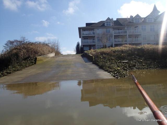
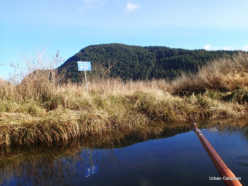
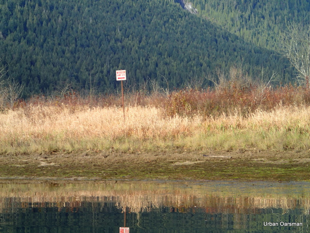
The “launching ramp” into Catbird Slough. It is a few minutes South of Grant Narrows. Apparently you launch here and park along the road. It will be worth a day to explore. I should have the sculling notch in the transom for this trip.
There are a lot of advantages to rowing in the winter…No crowds and there are some great days.
See you on the water..
Mike


