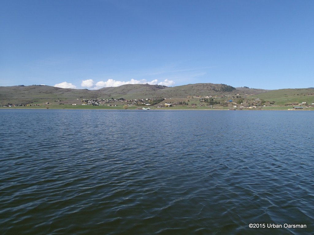
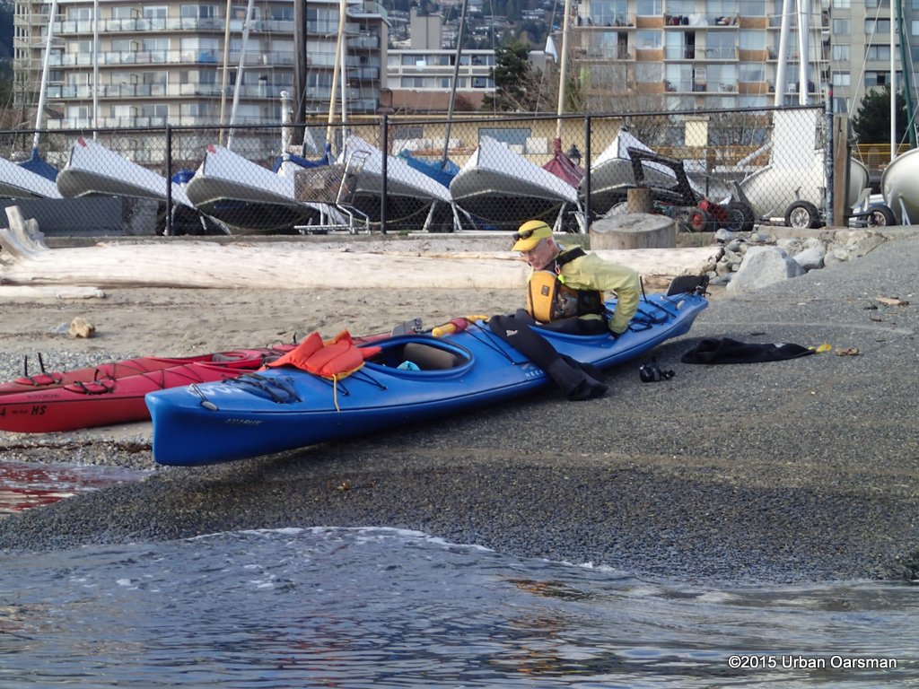
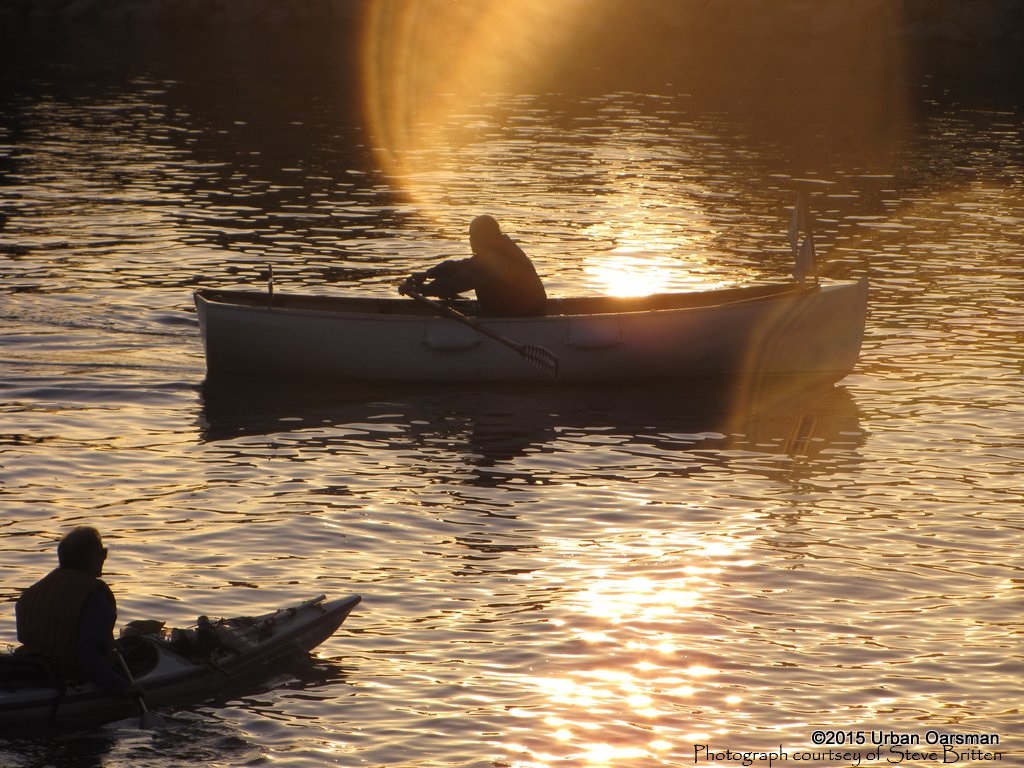
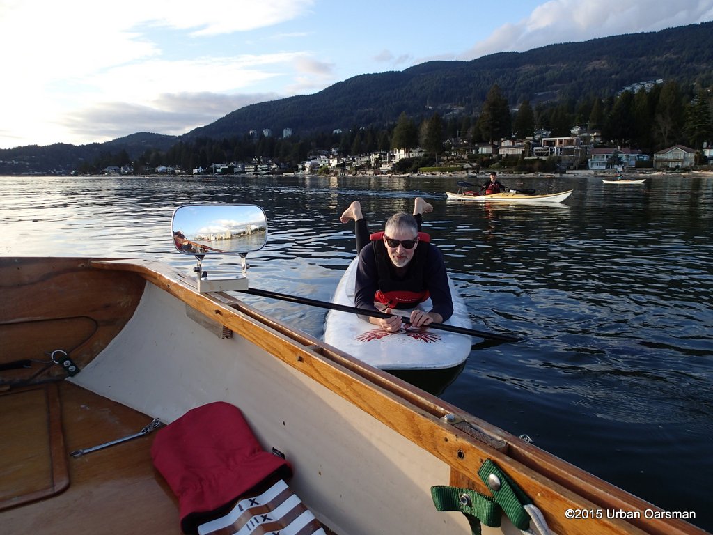
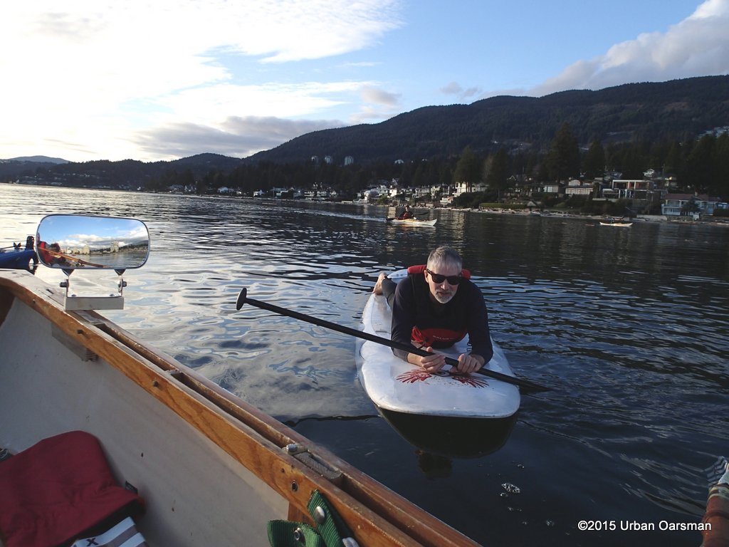
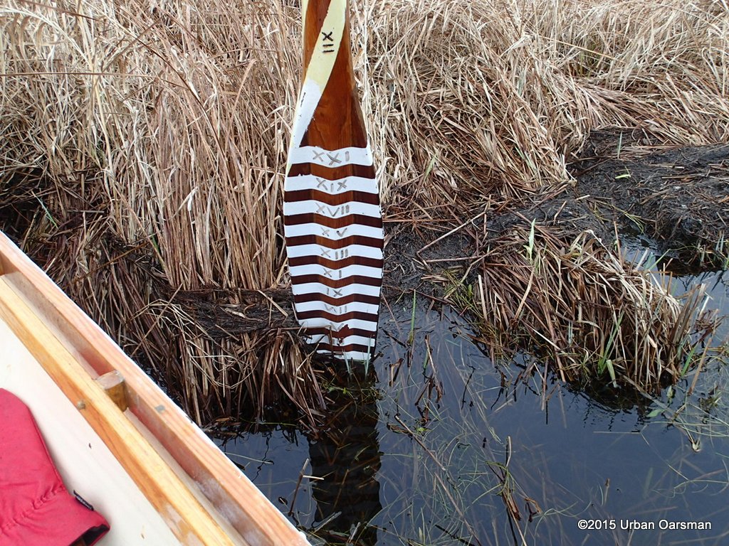
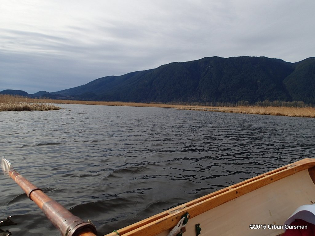
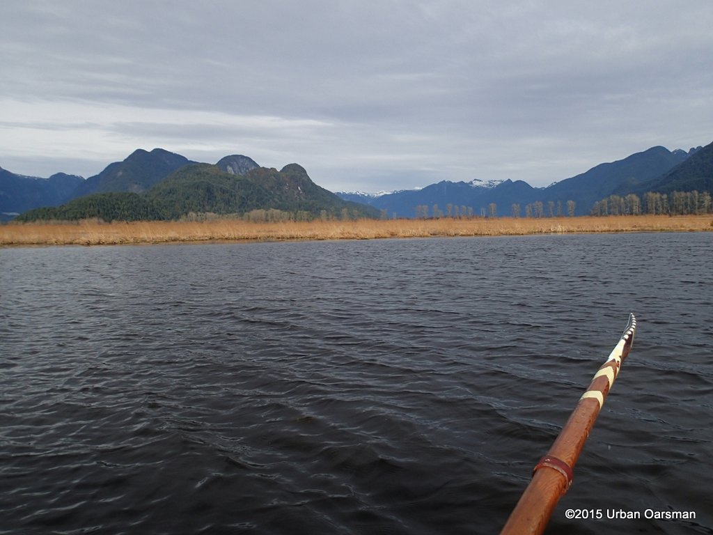
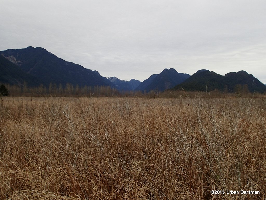
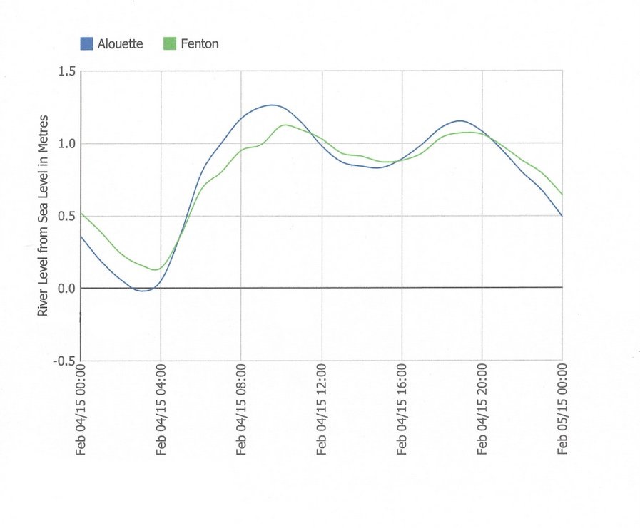
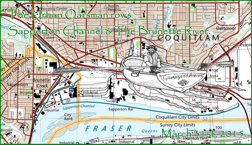
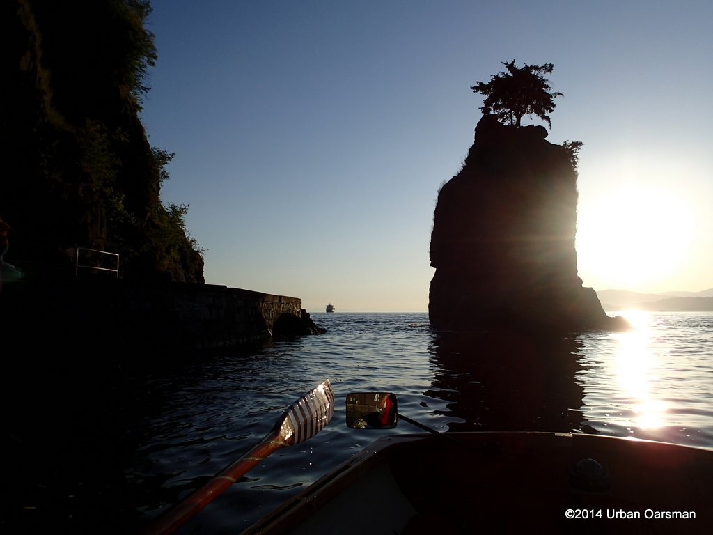
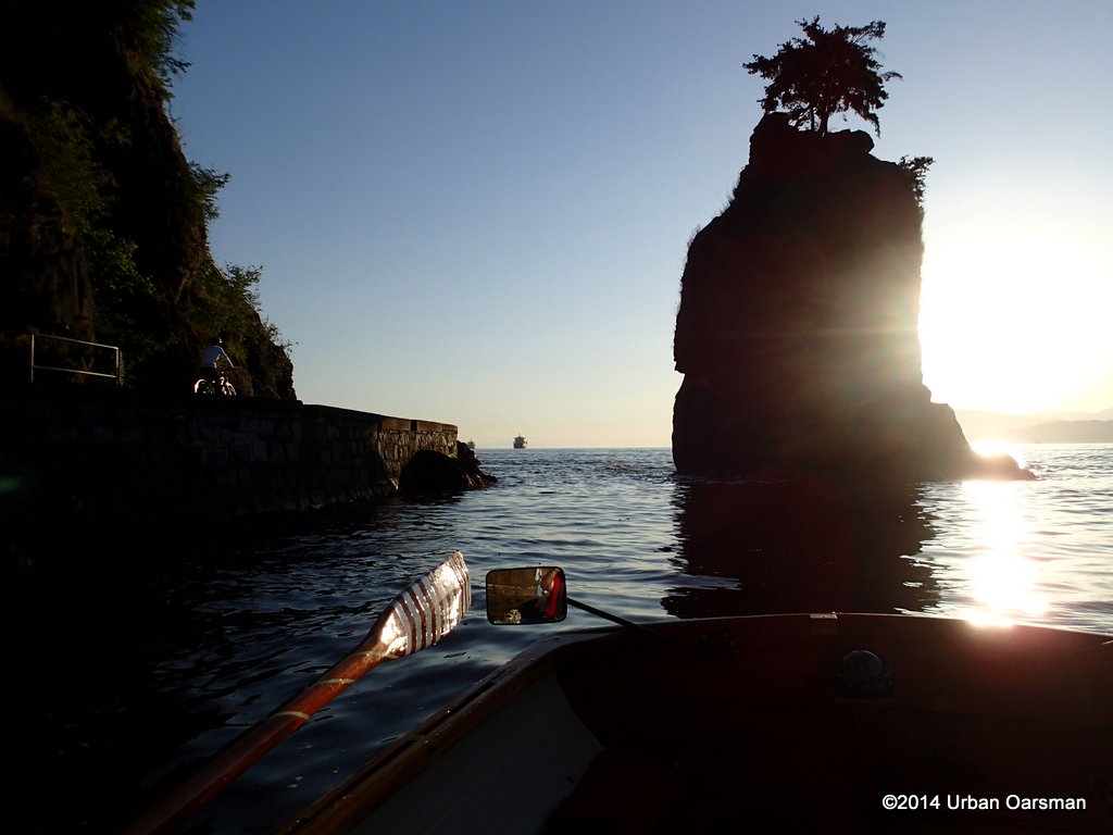
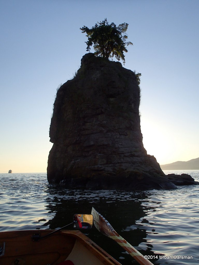
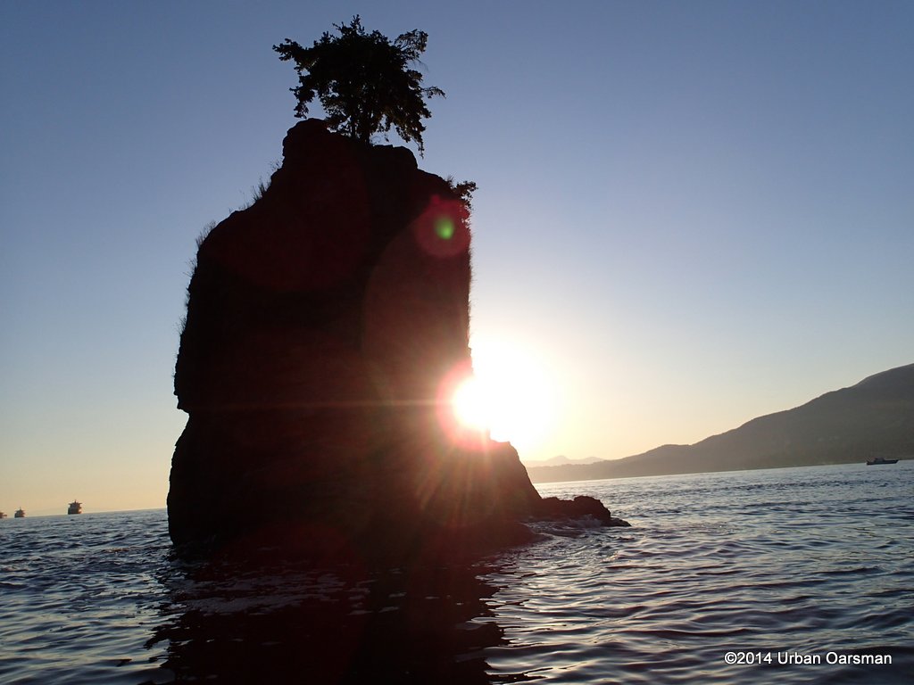
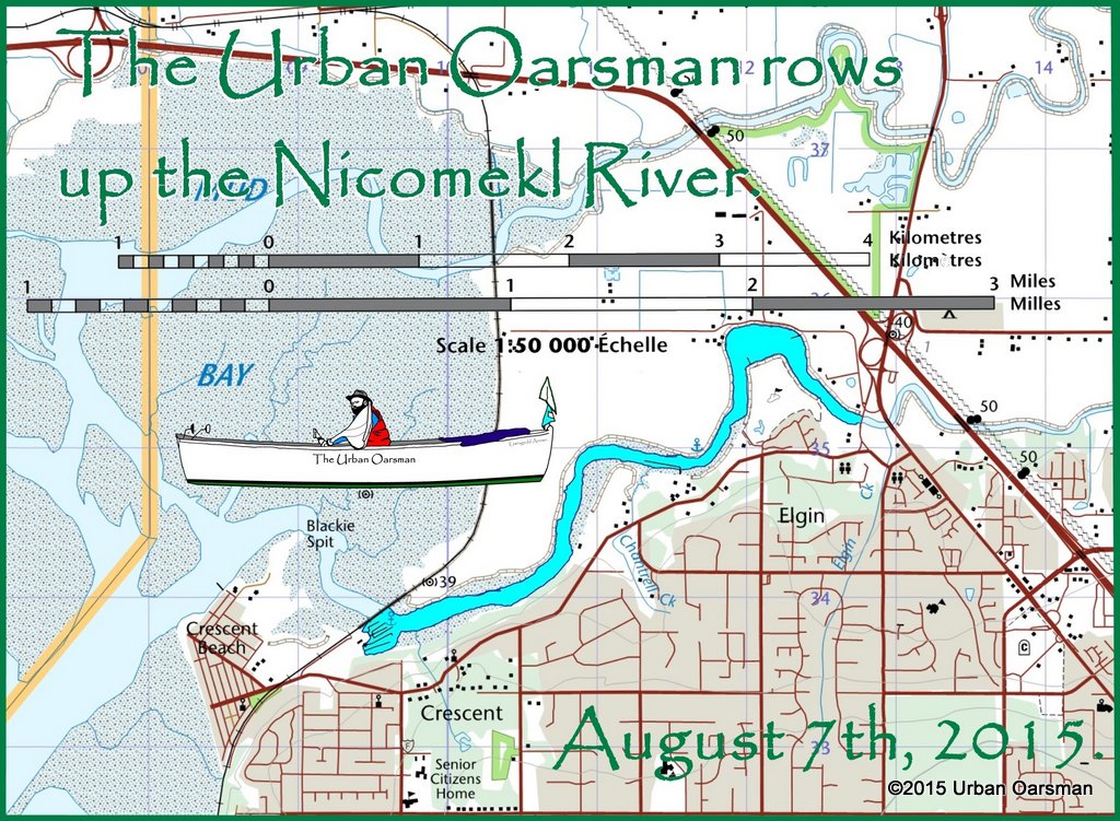
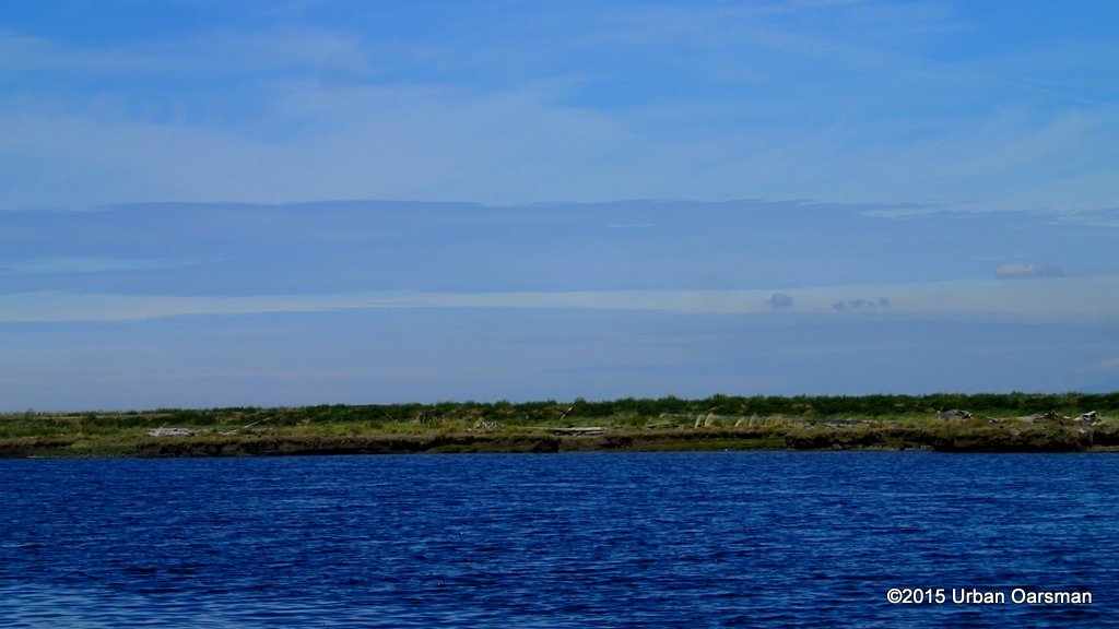
 The tides for the row are: High high at 5:30am, 2.6m/8.5′; High low at 12:00. 1.3m/4.3′; Low high at 4:45pm, 2.0m/6.6′. The tide will be outgoing until noon for the row down to the Brunette. There will not be a large rise from noon to 4:45pm, .7m/2.6′ so I do not expect there to be an upstream tidal current for the row back to the Maquabeak Park boat launch.
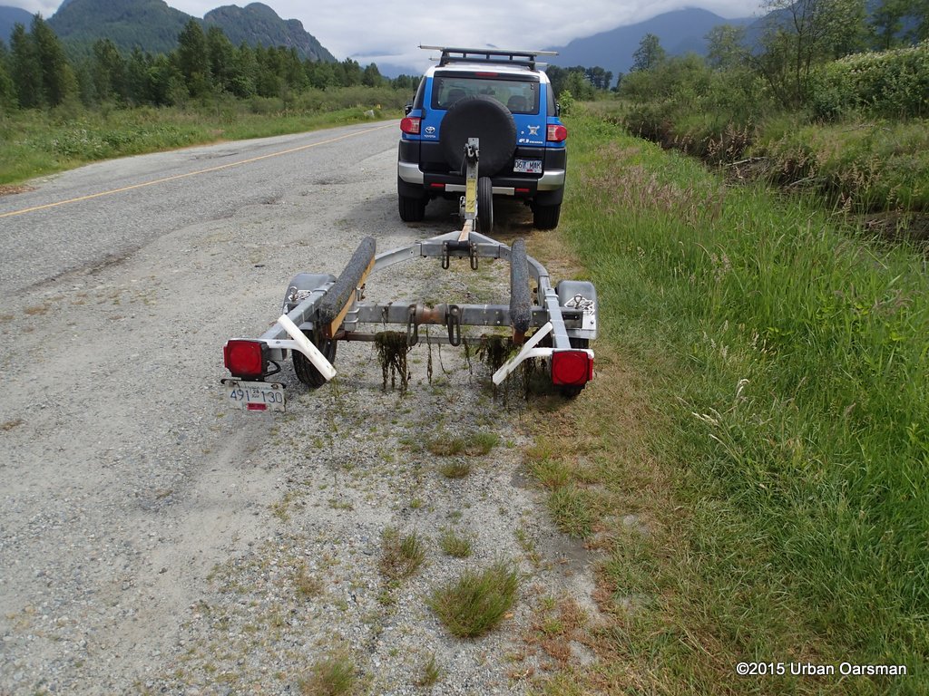
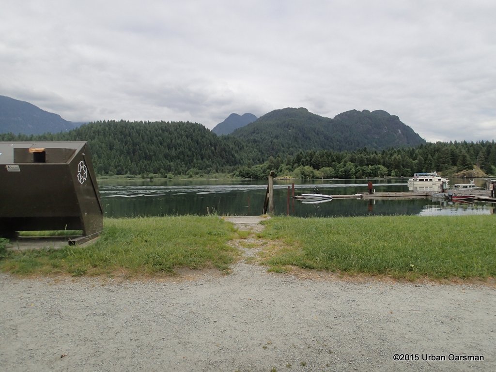
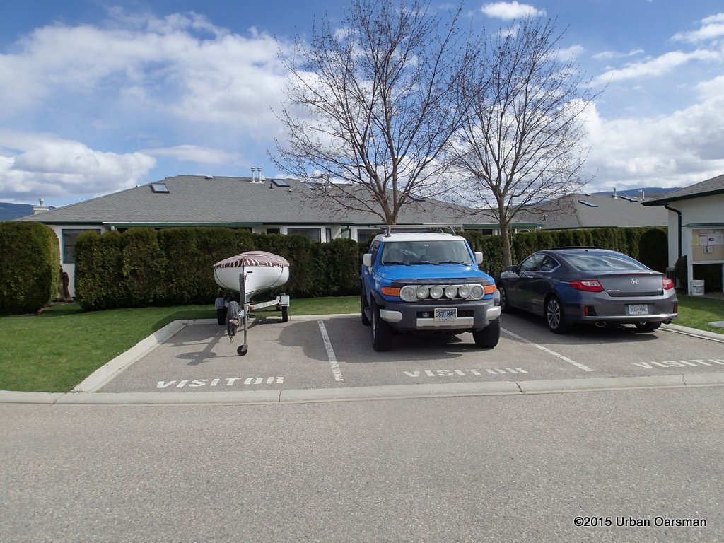
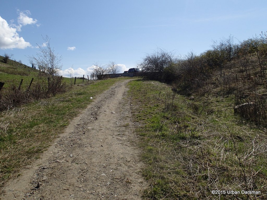
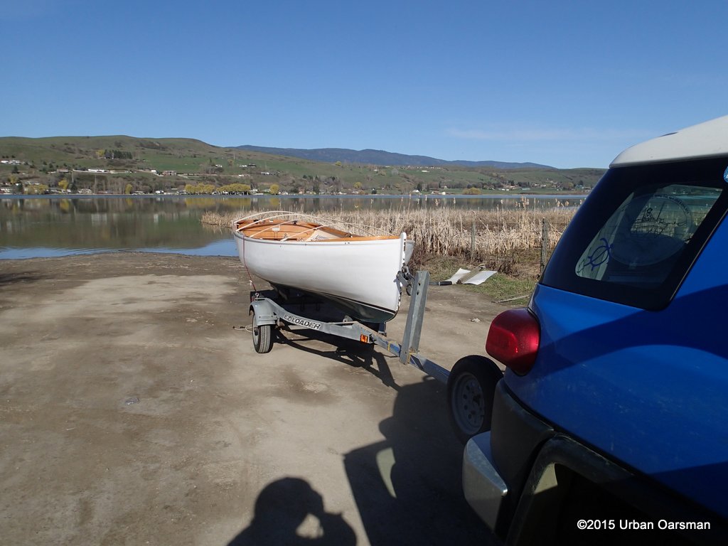
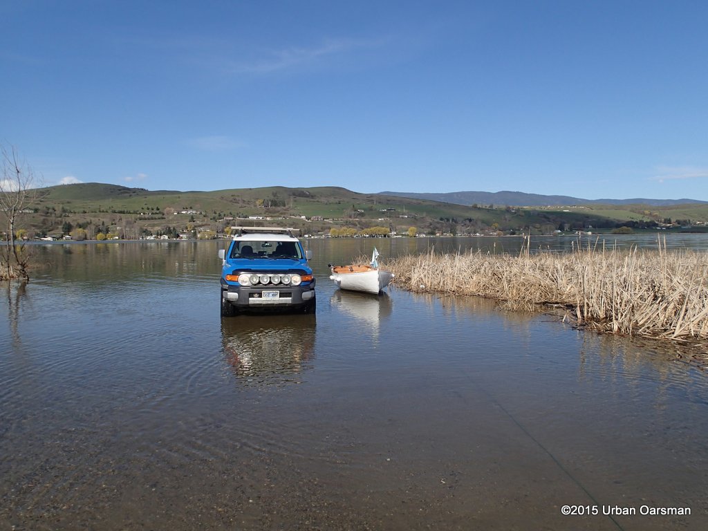
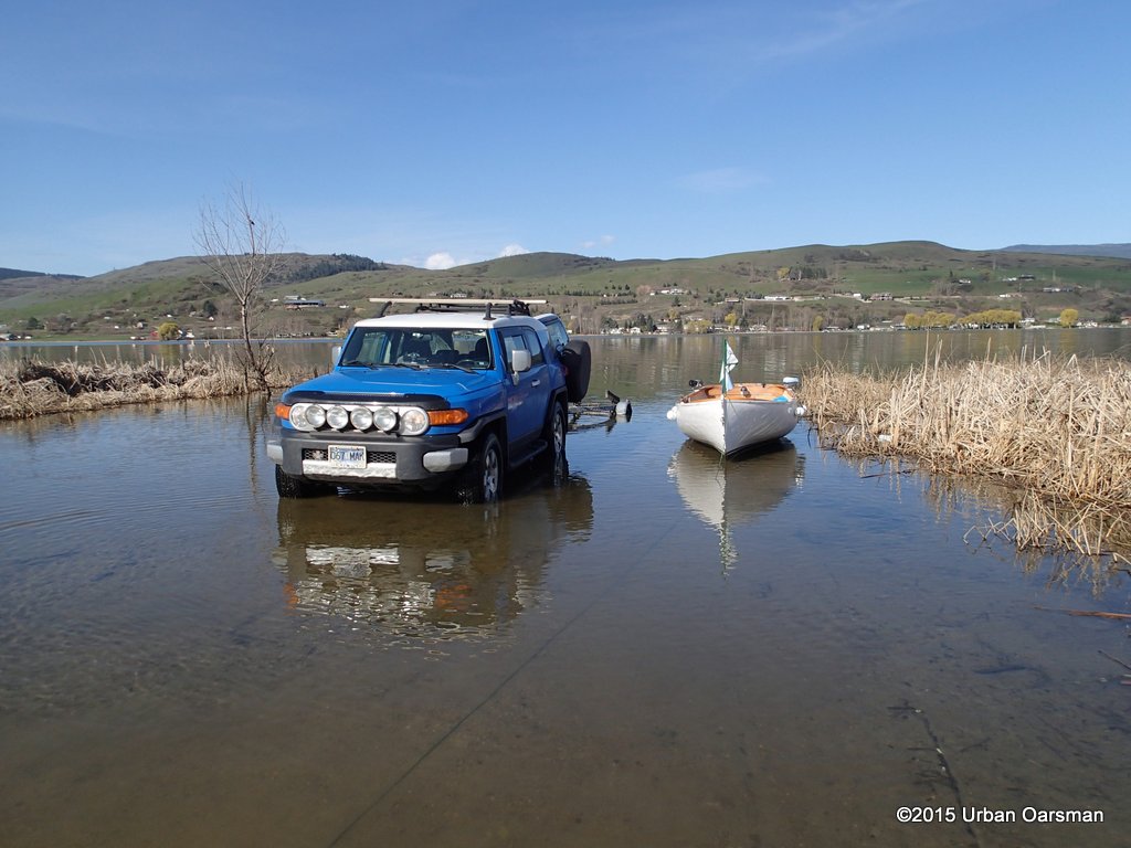
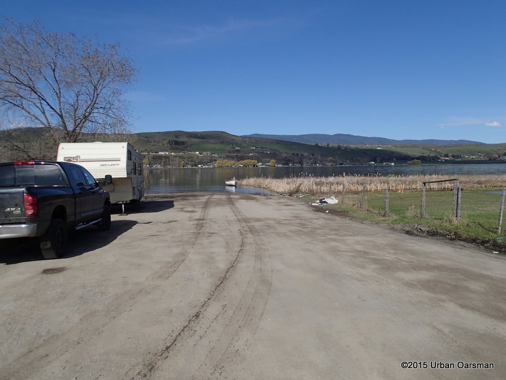
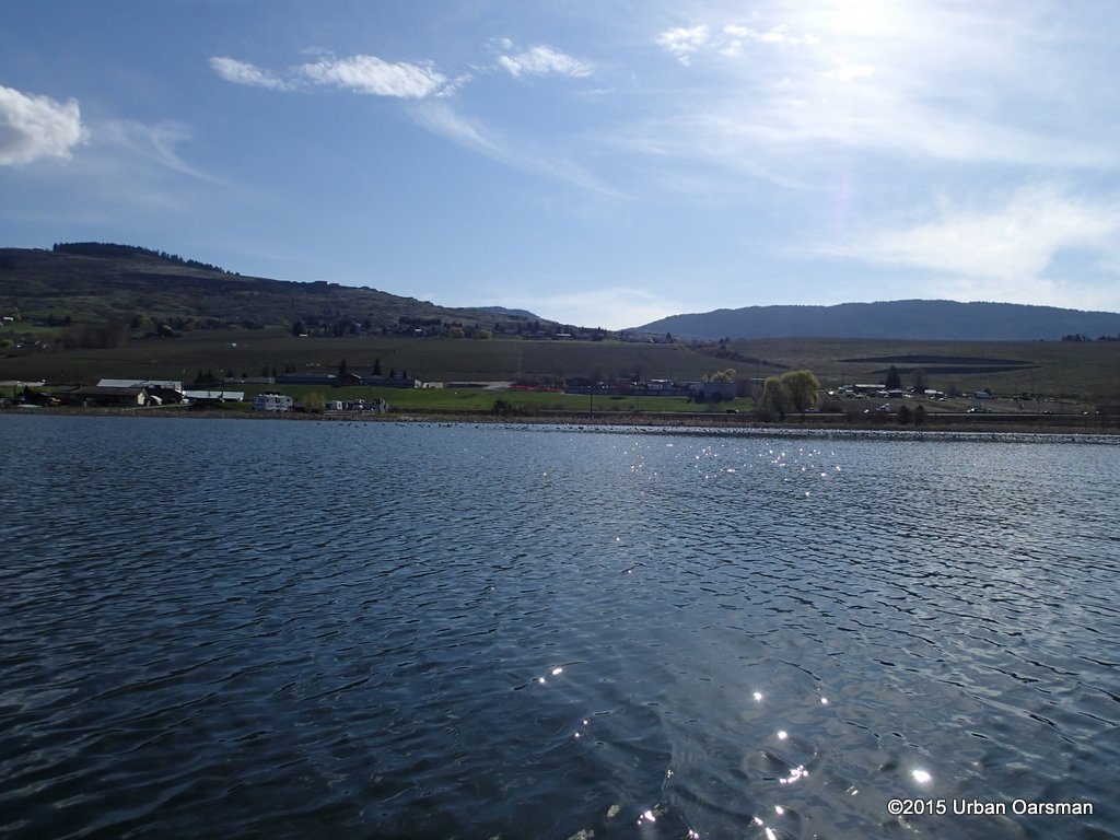
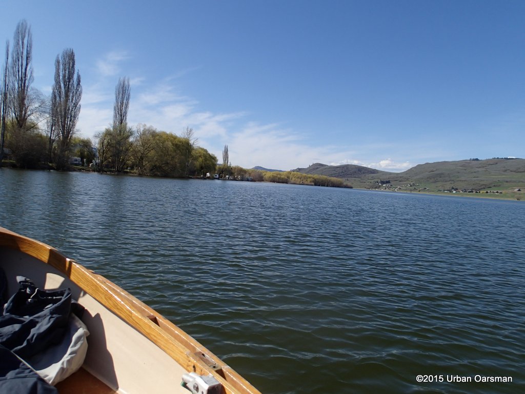
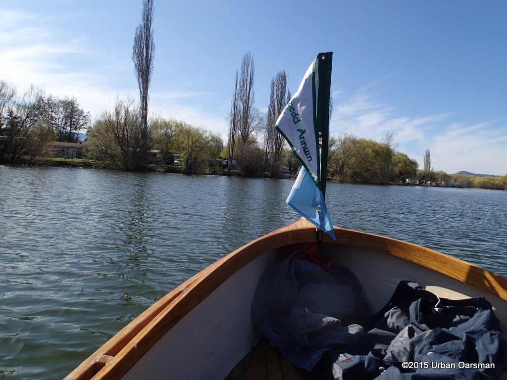
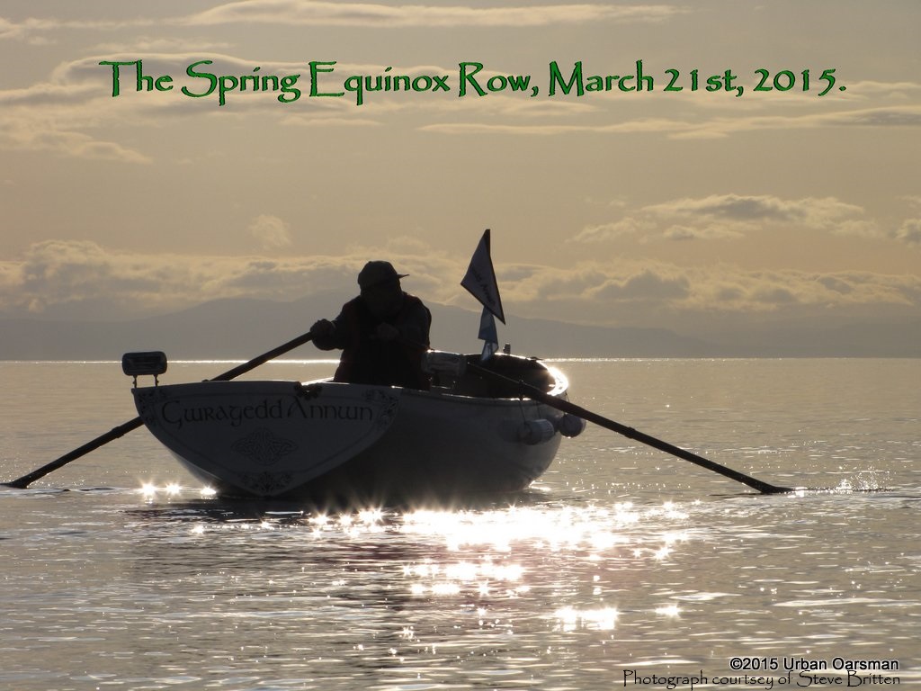
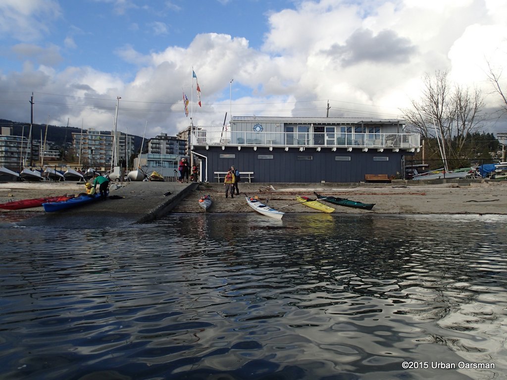
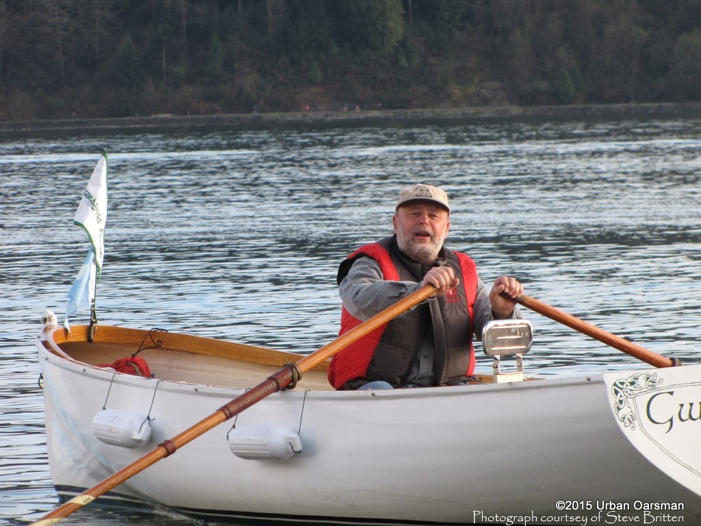
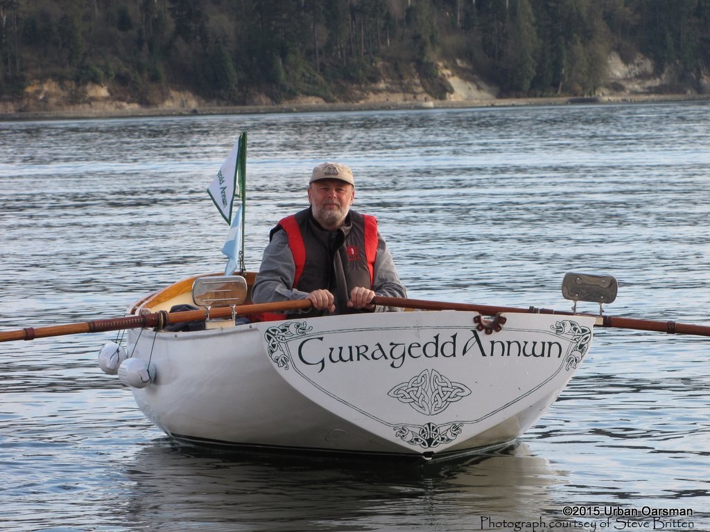
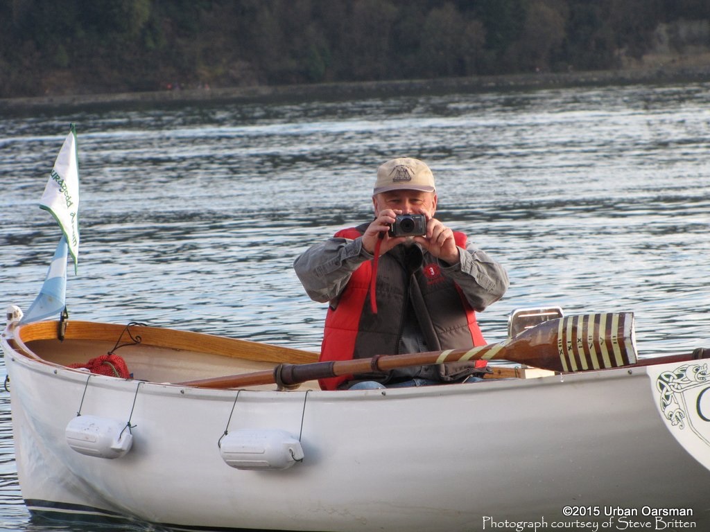
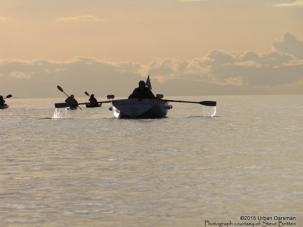
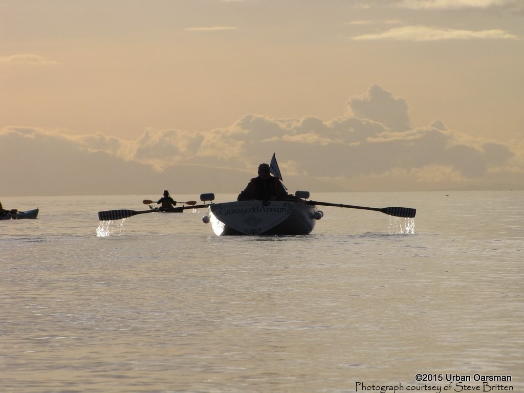
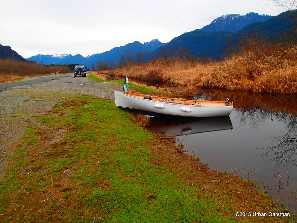
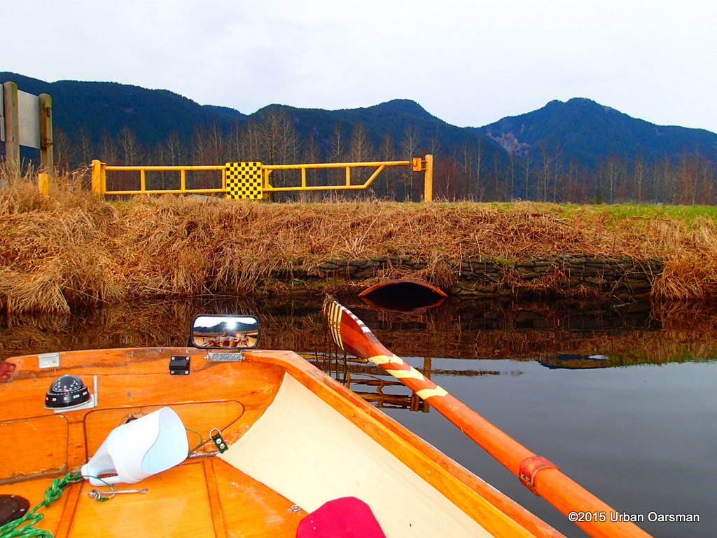
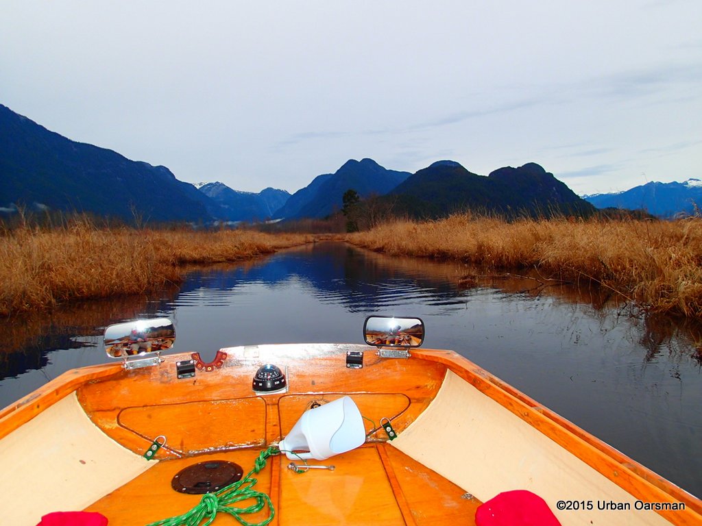
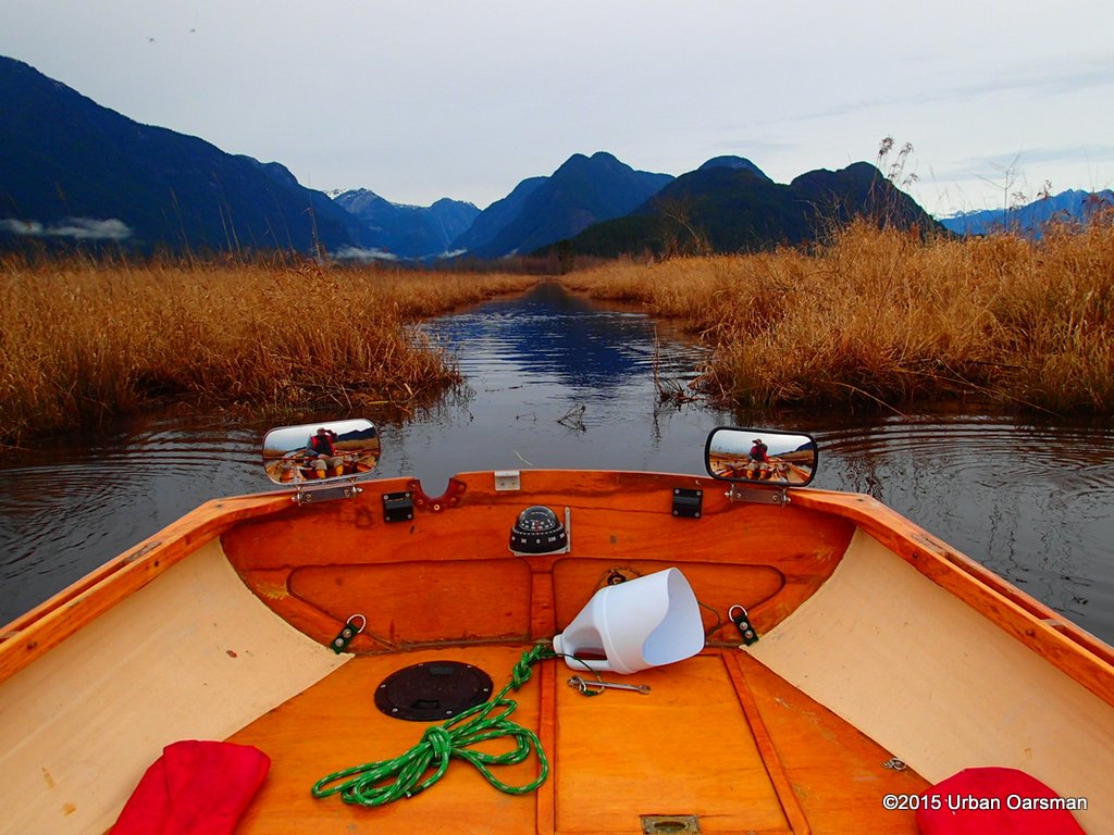
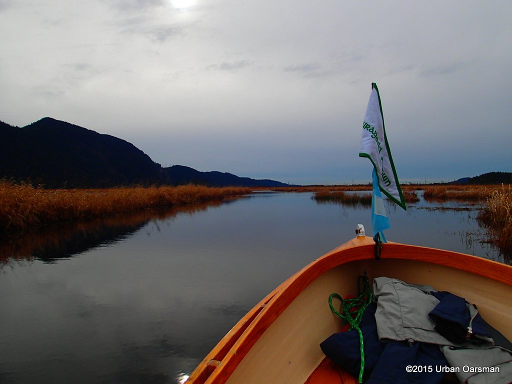
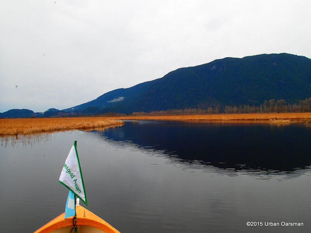
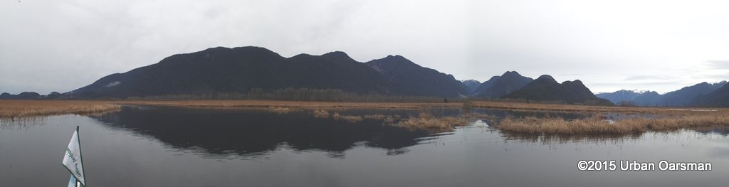
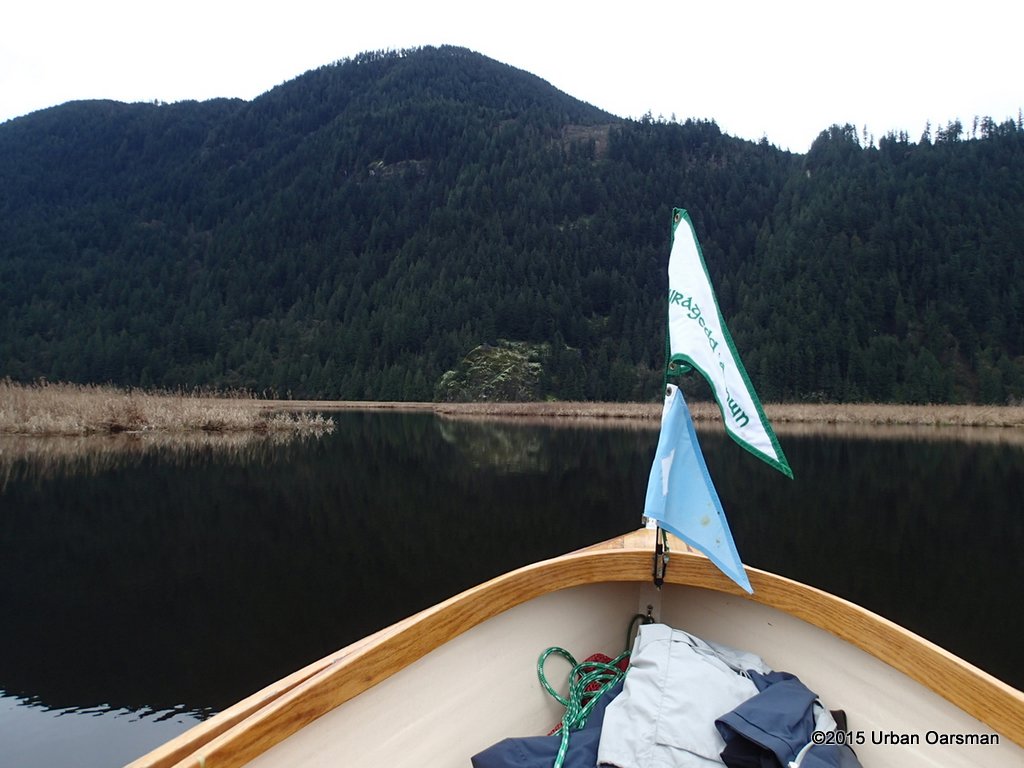
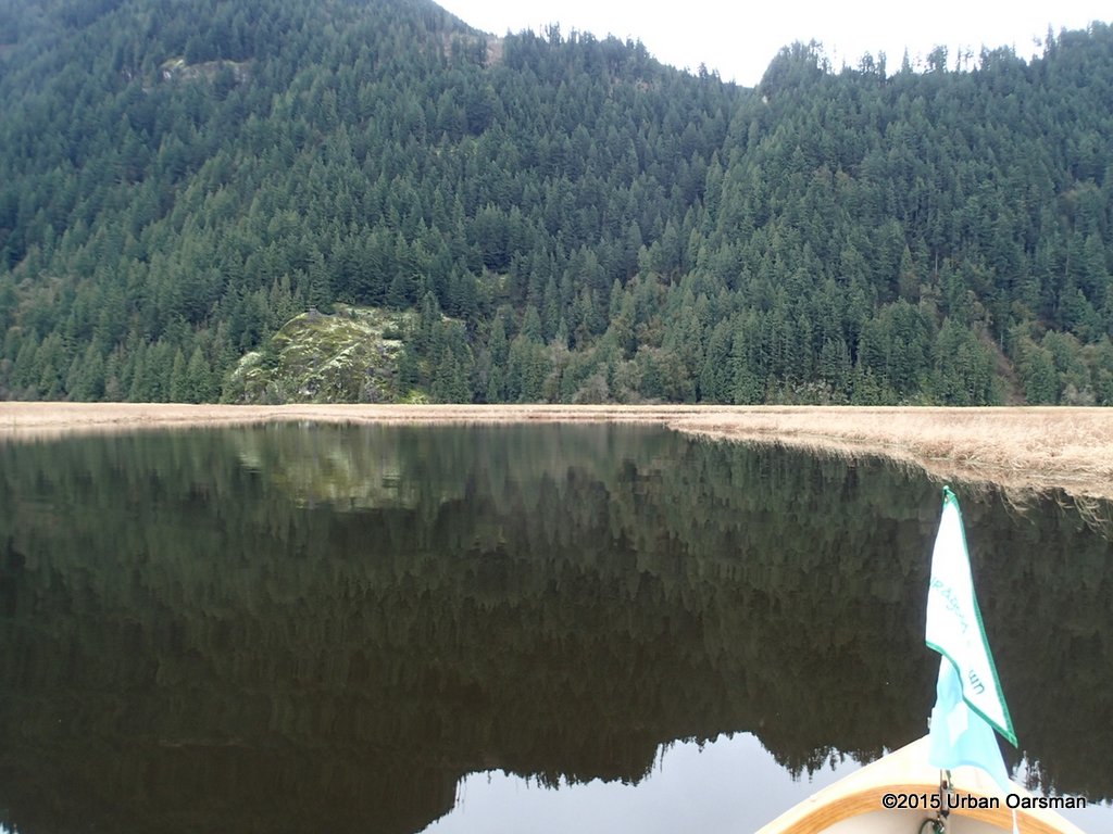
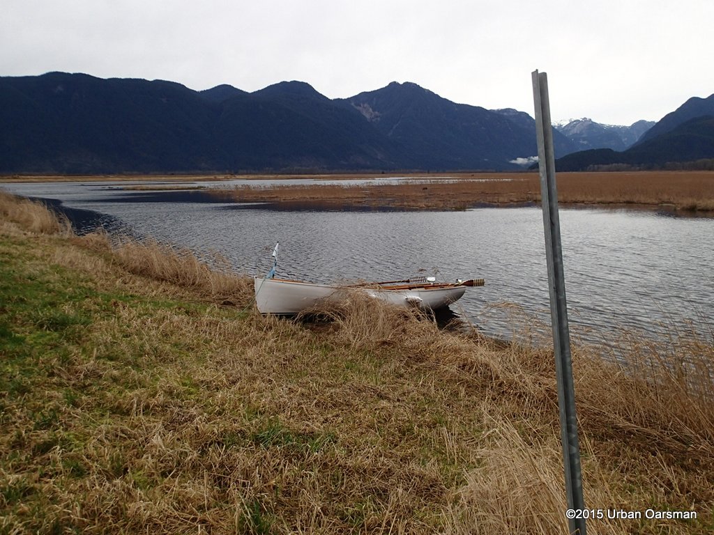
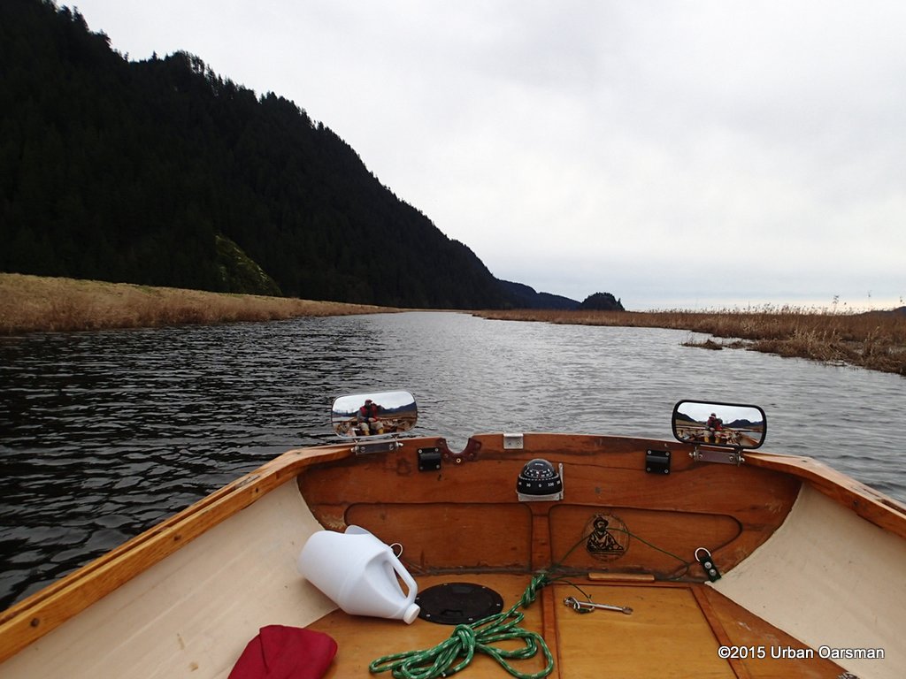
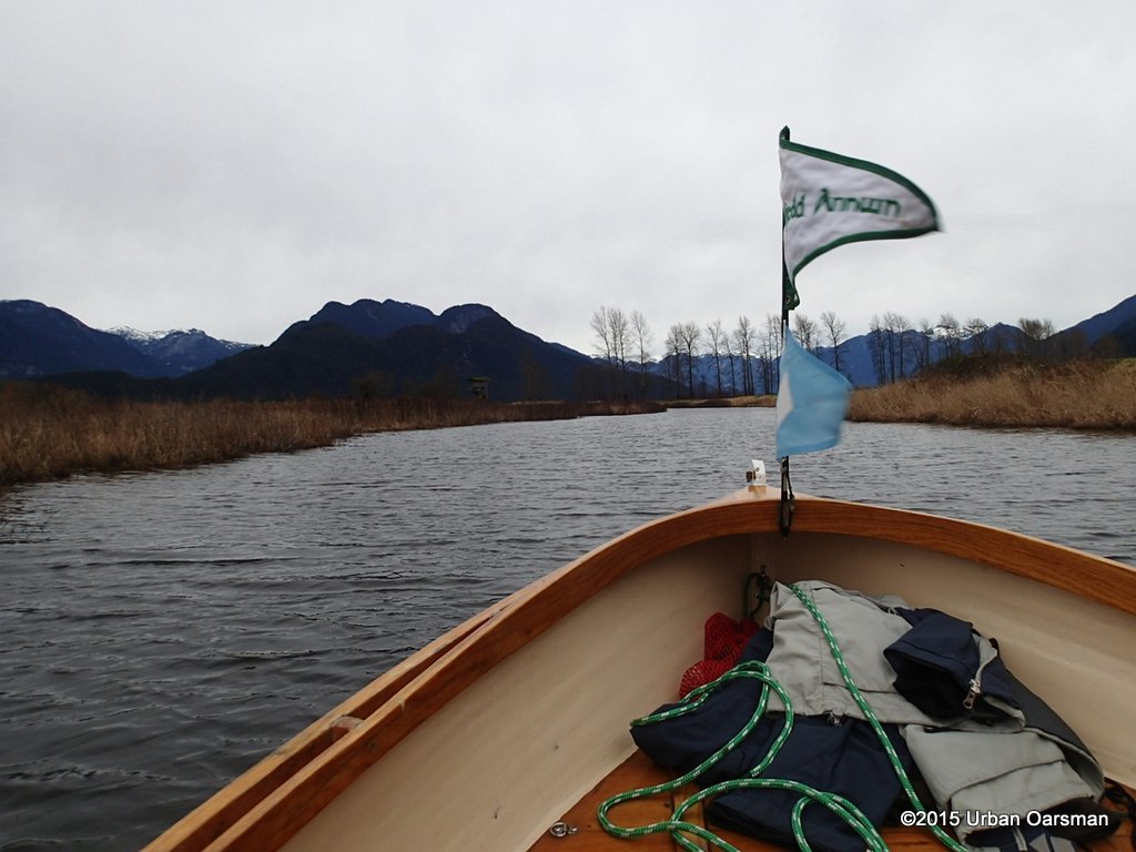
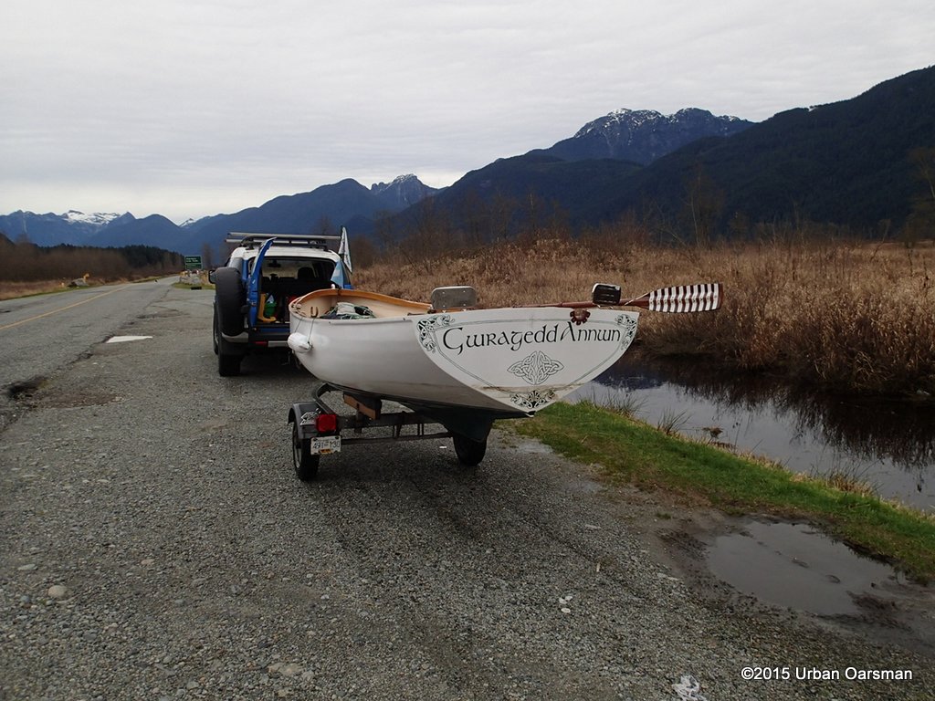
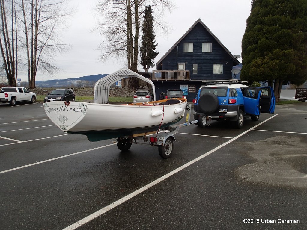
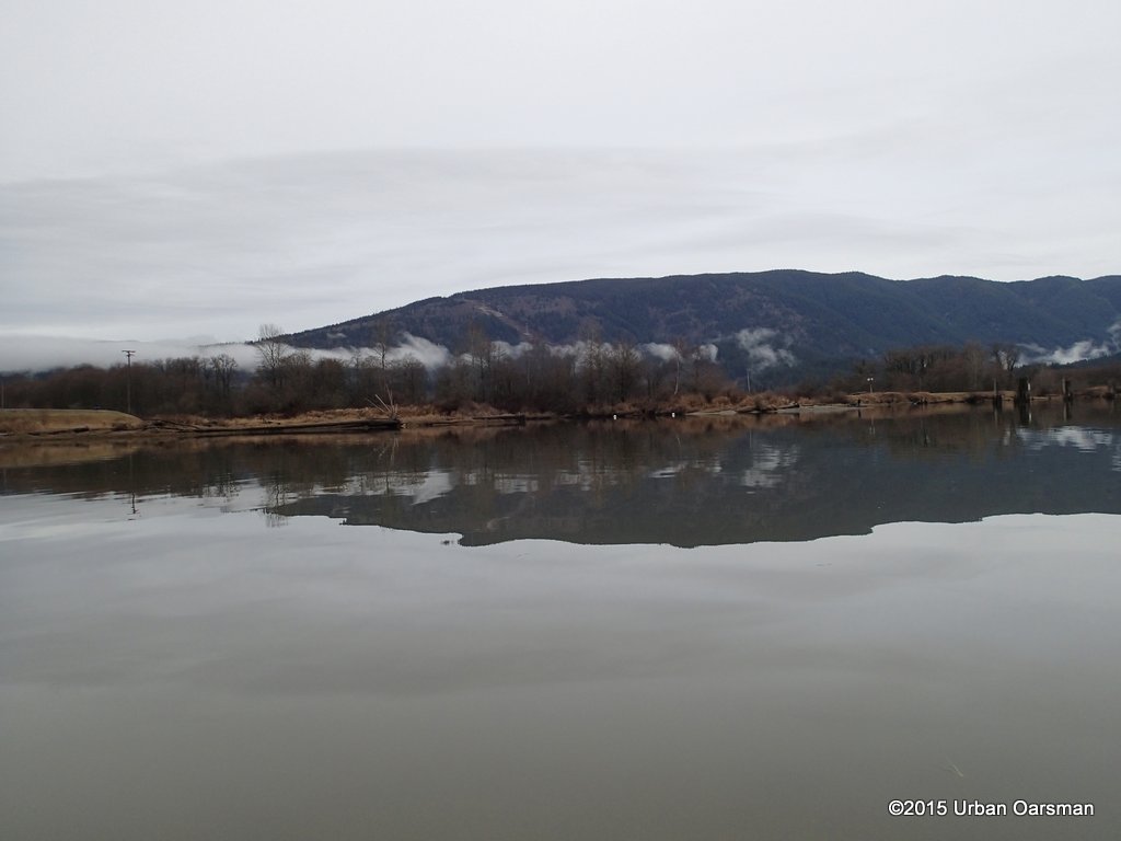
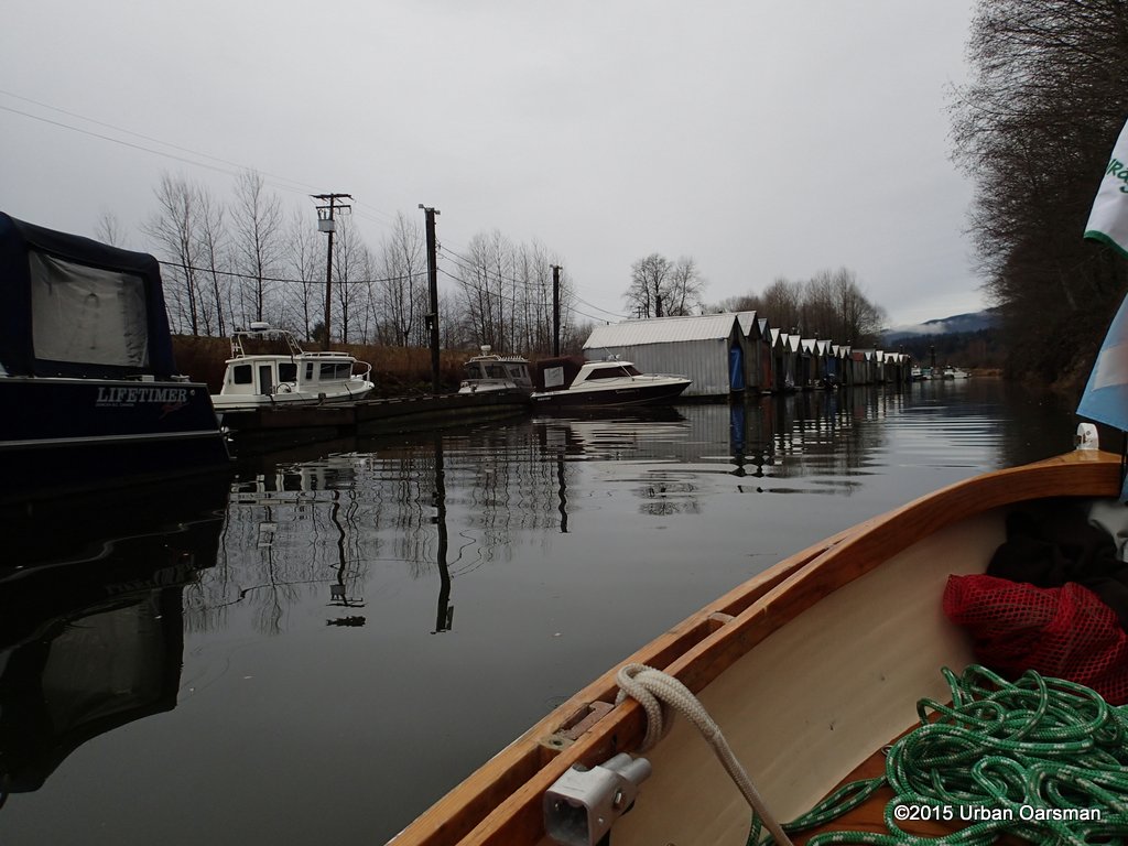
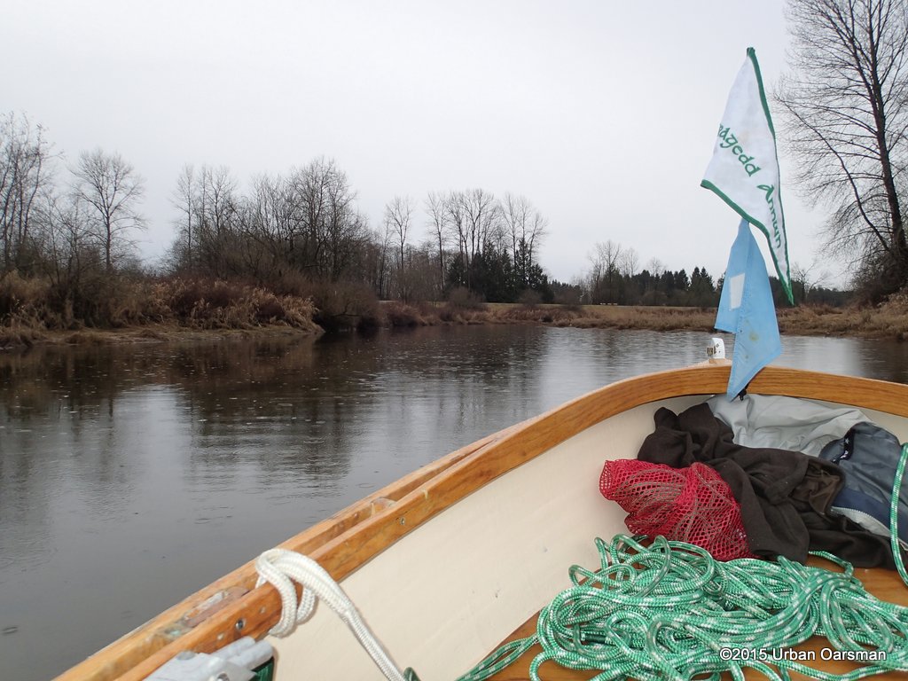
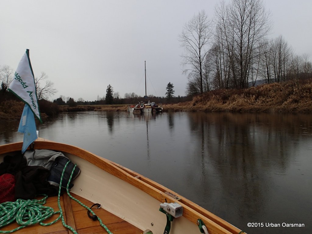
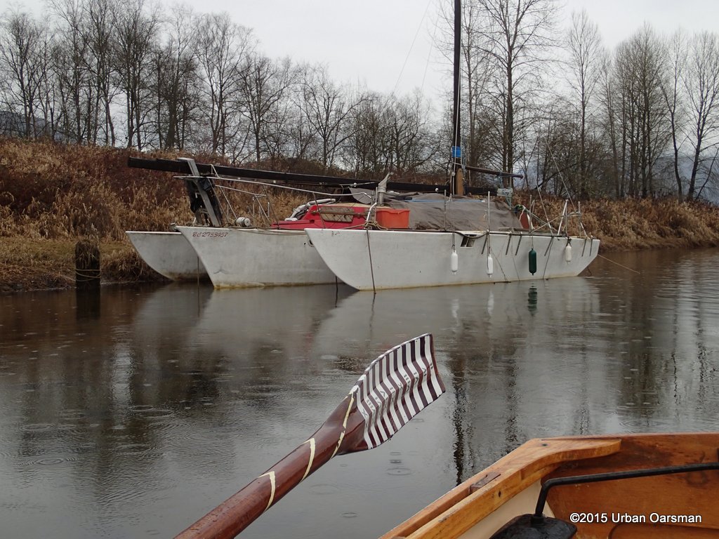
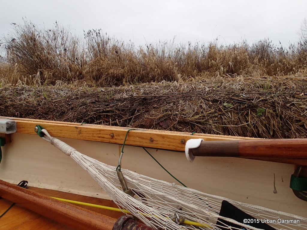
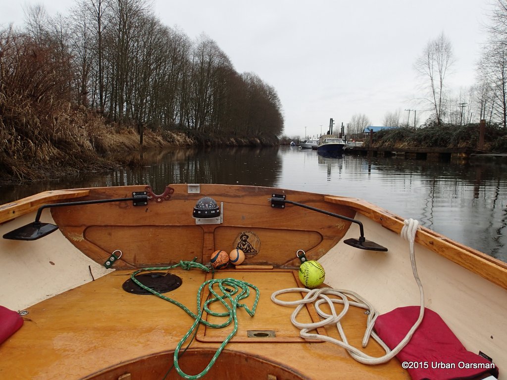
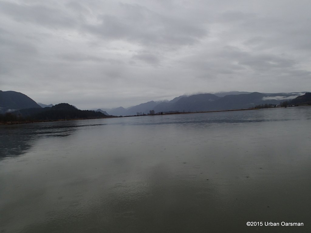
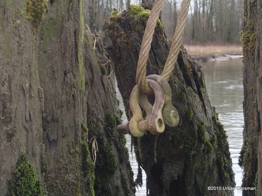
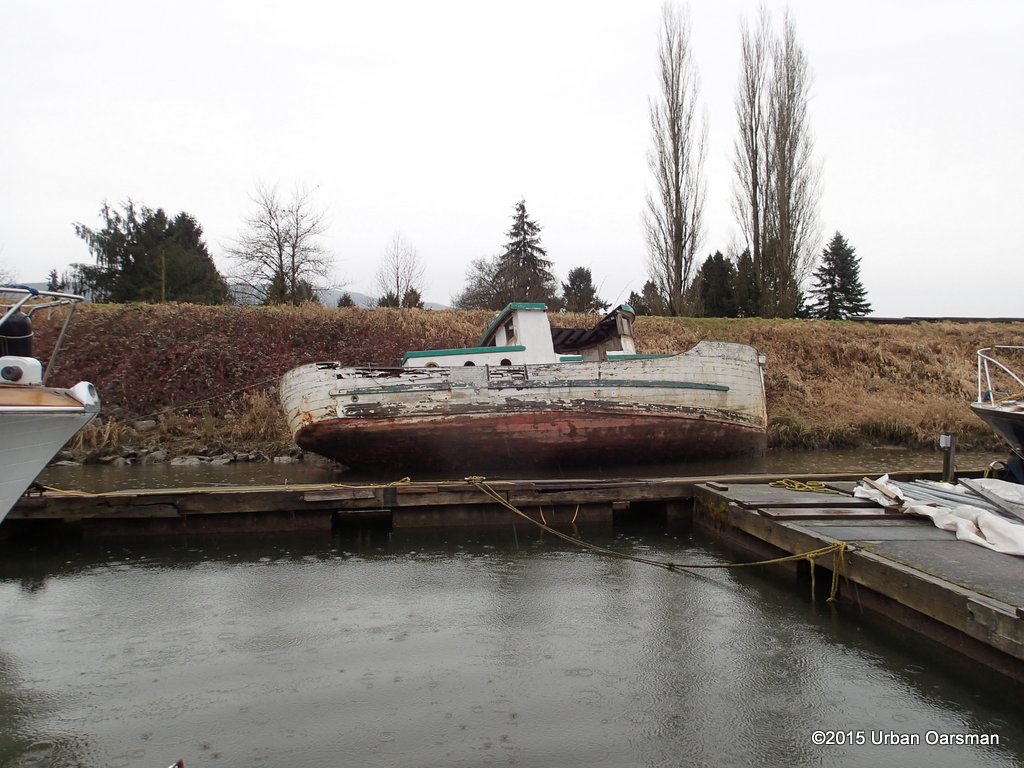
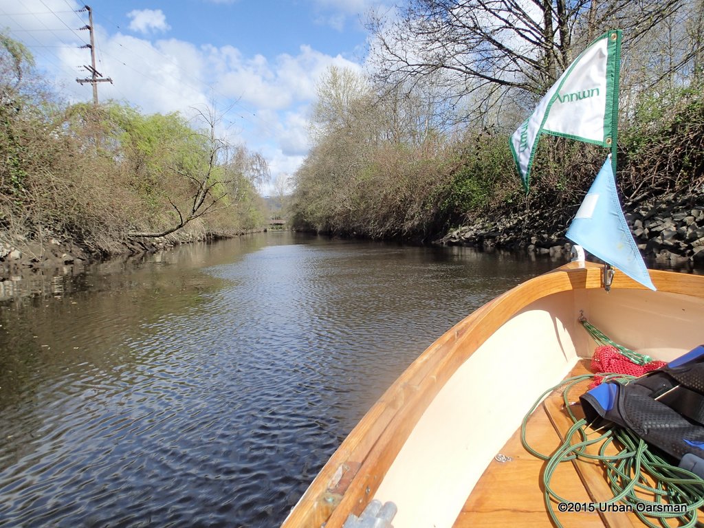
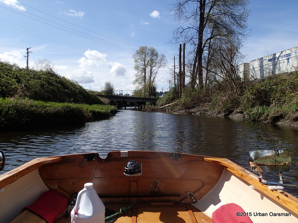
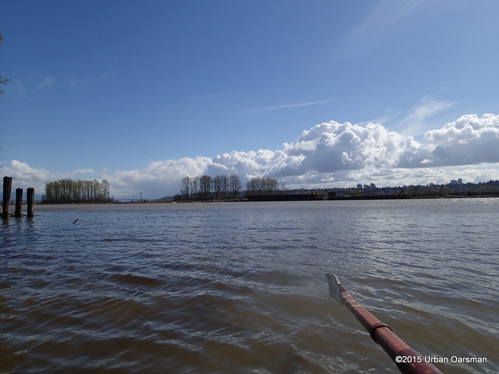
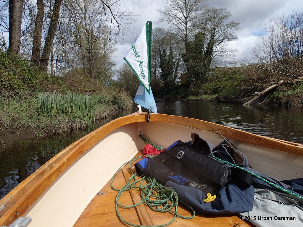
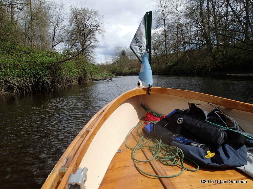
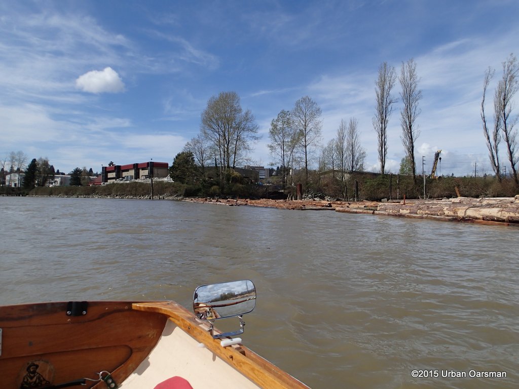
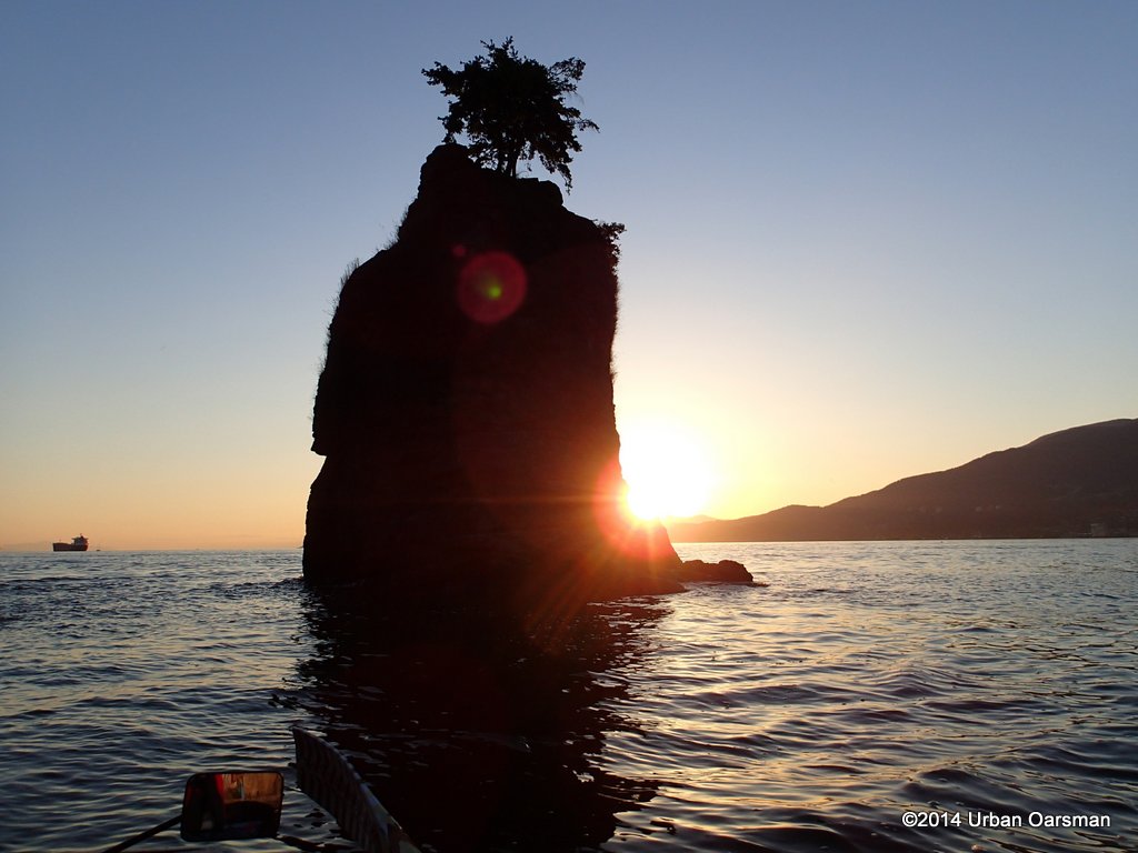
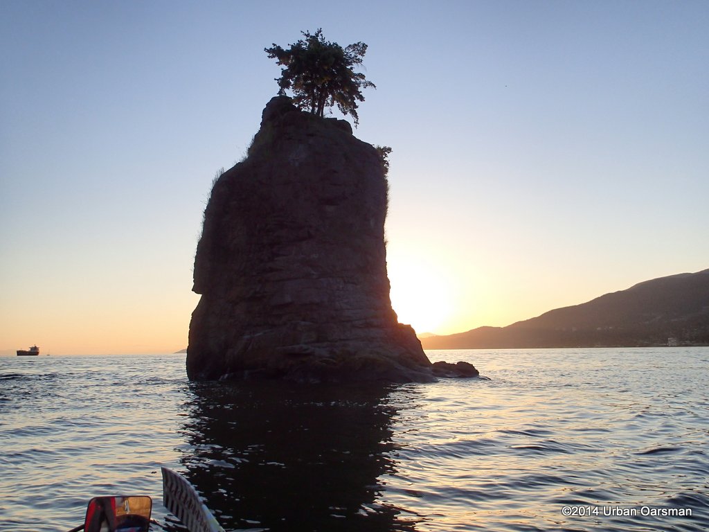
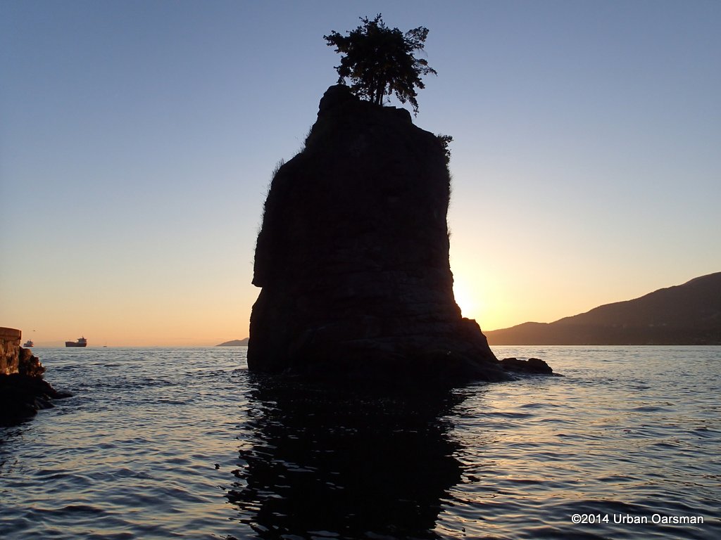
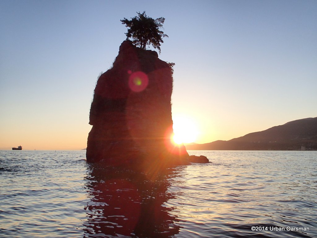
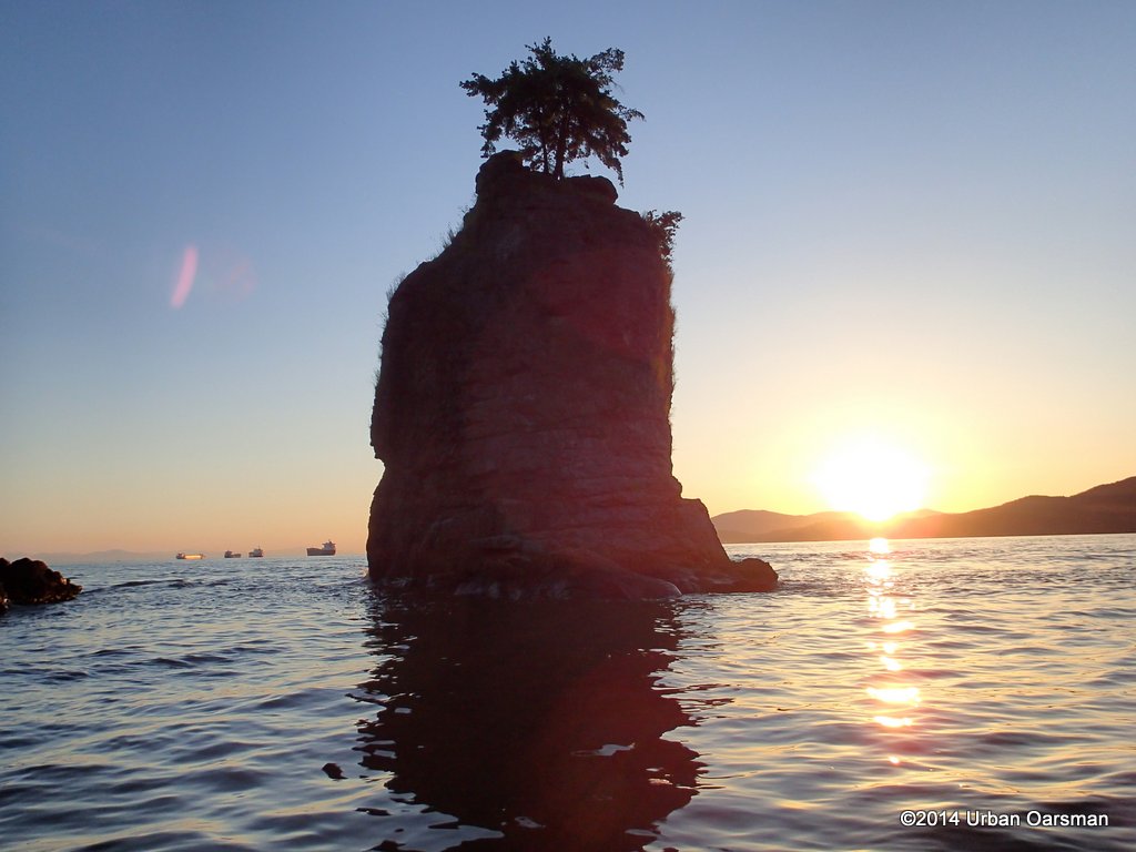
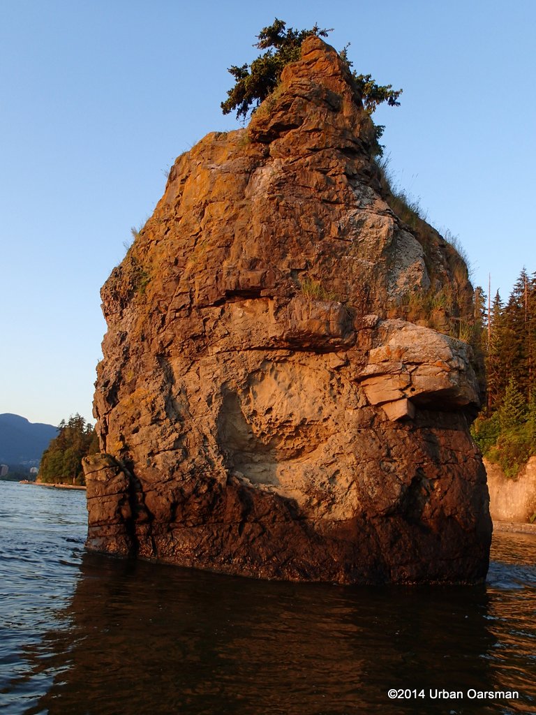
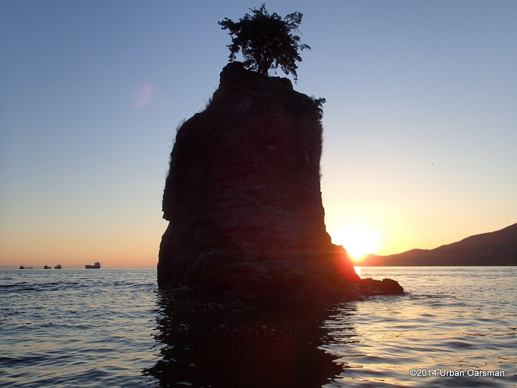
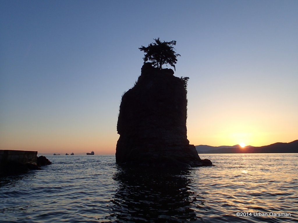
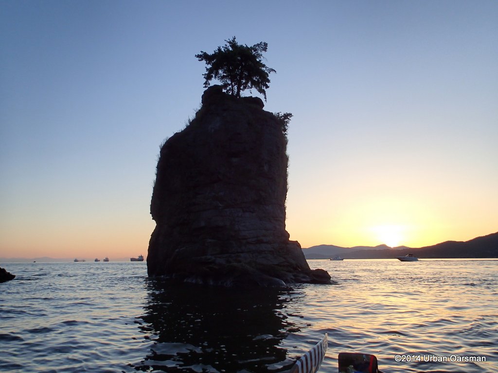
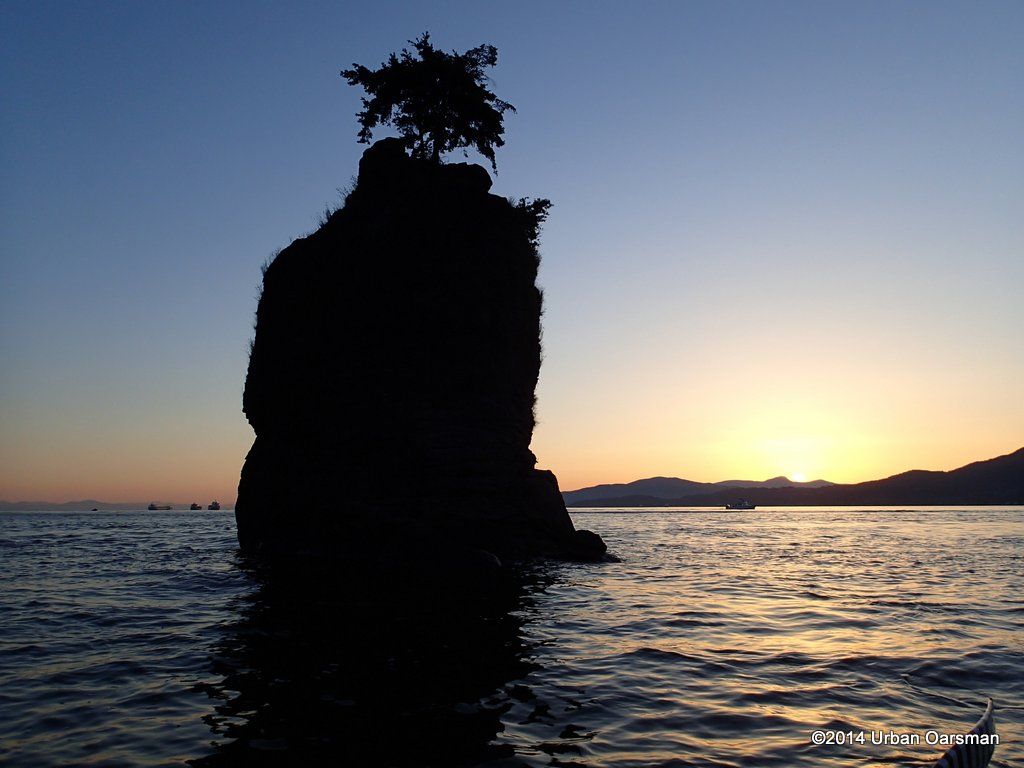
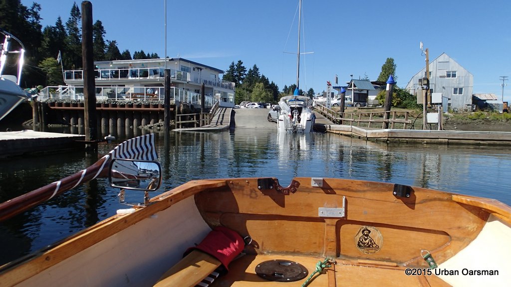
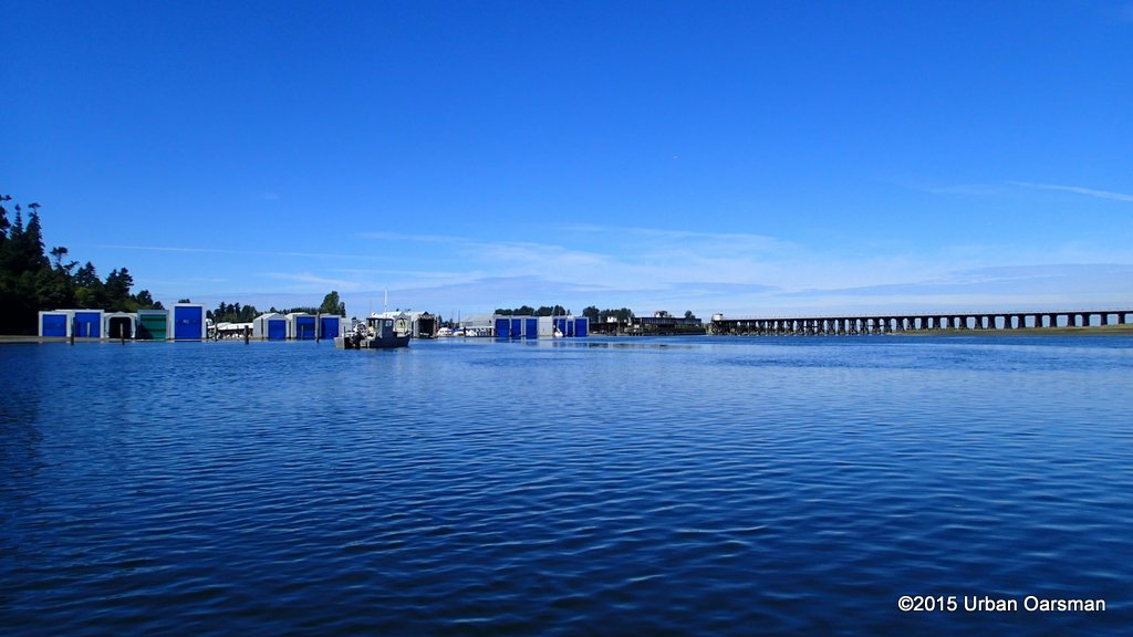
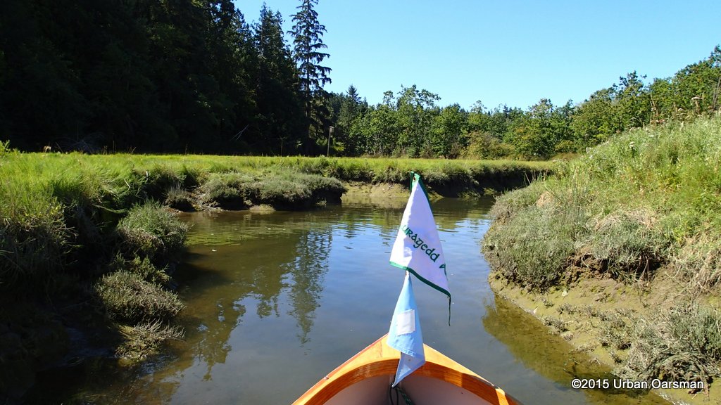
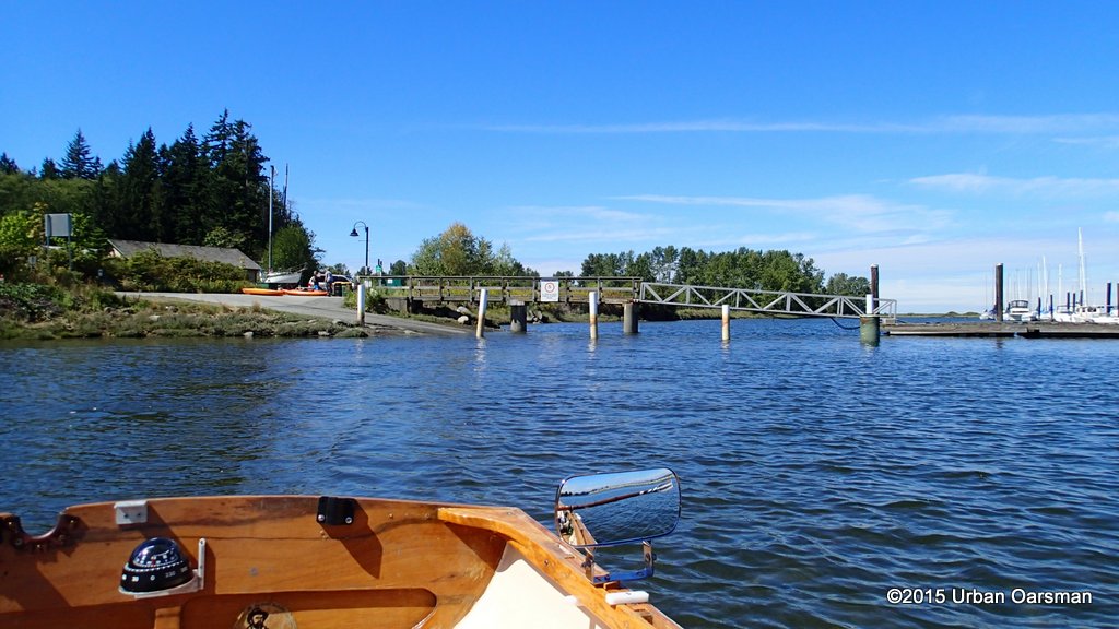
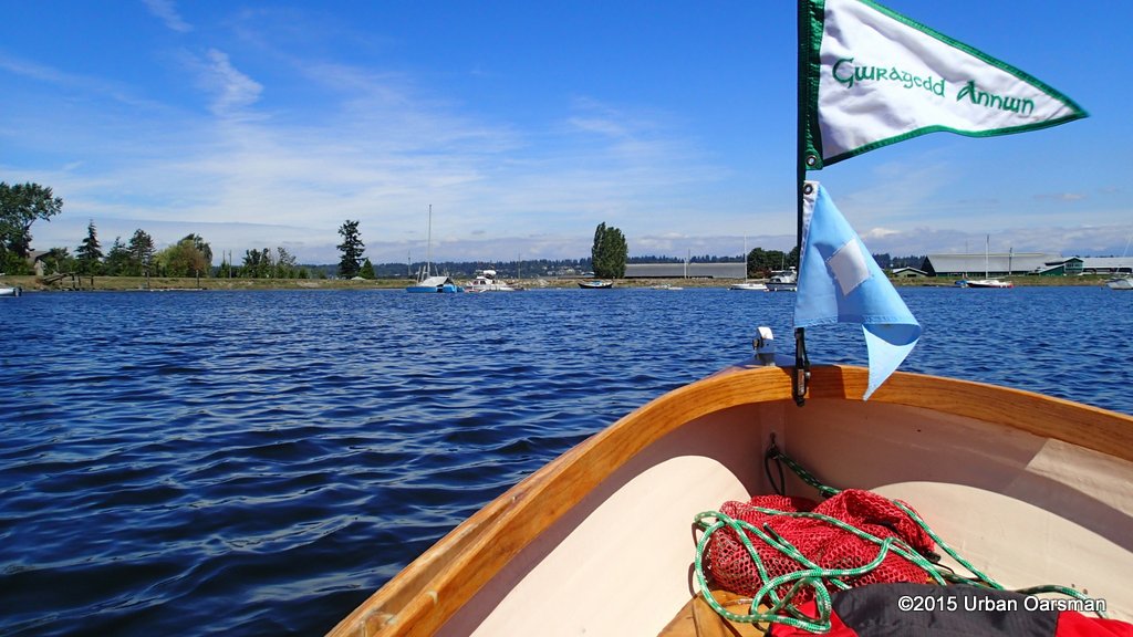
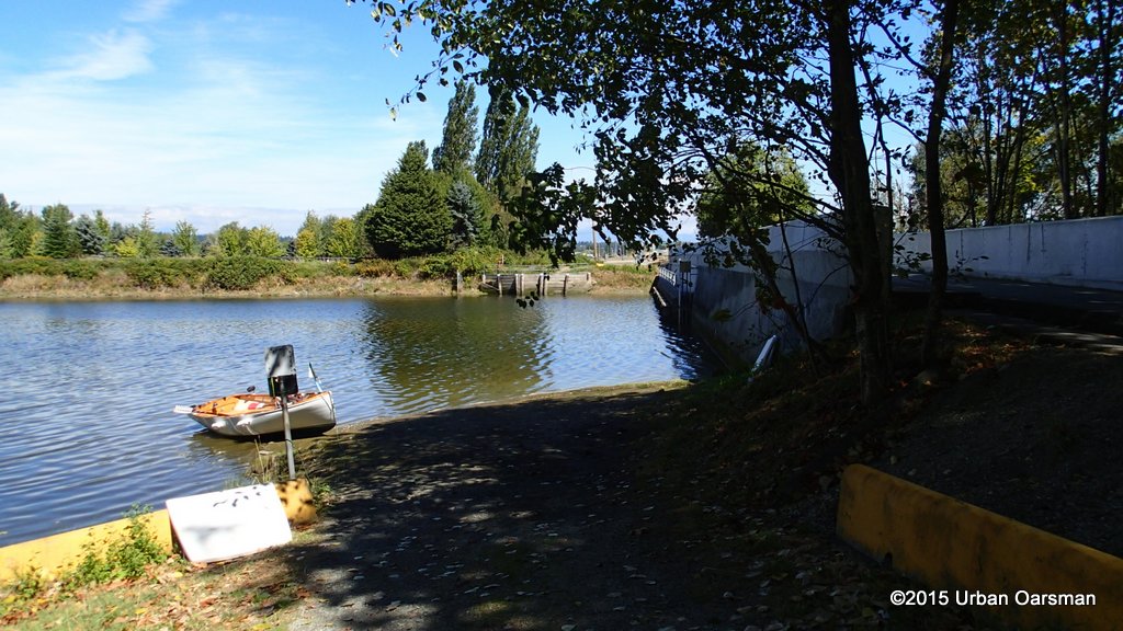
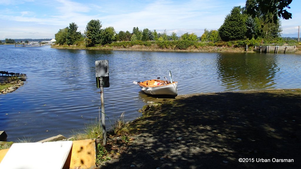
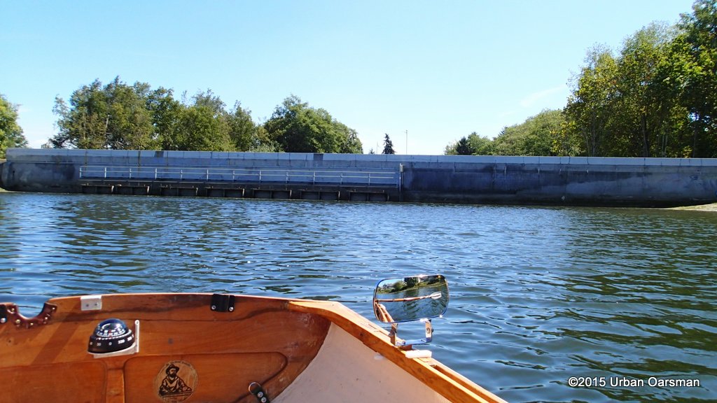
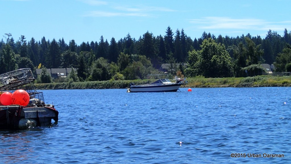
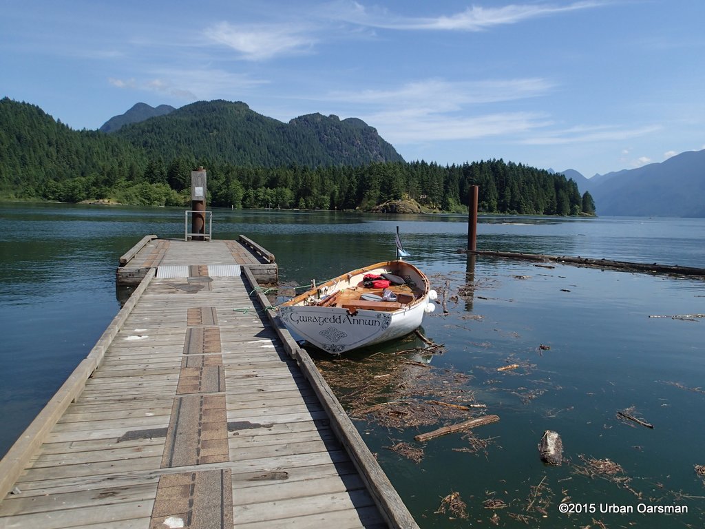
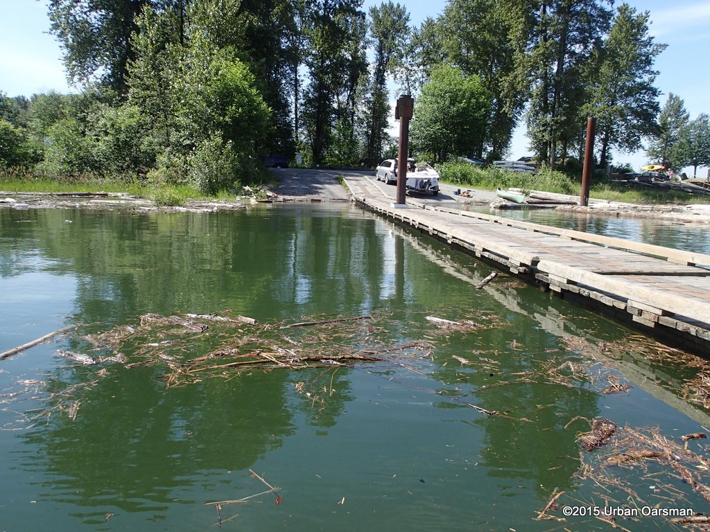
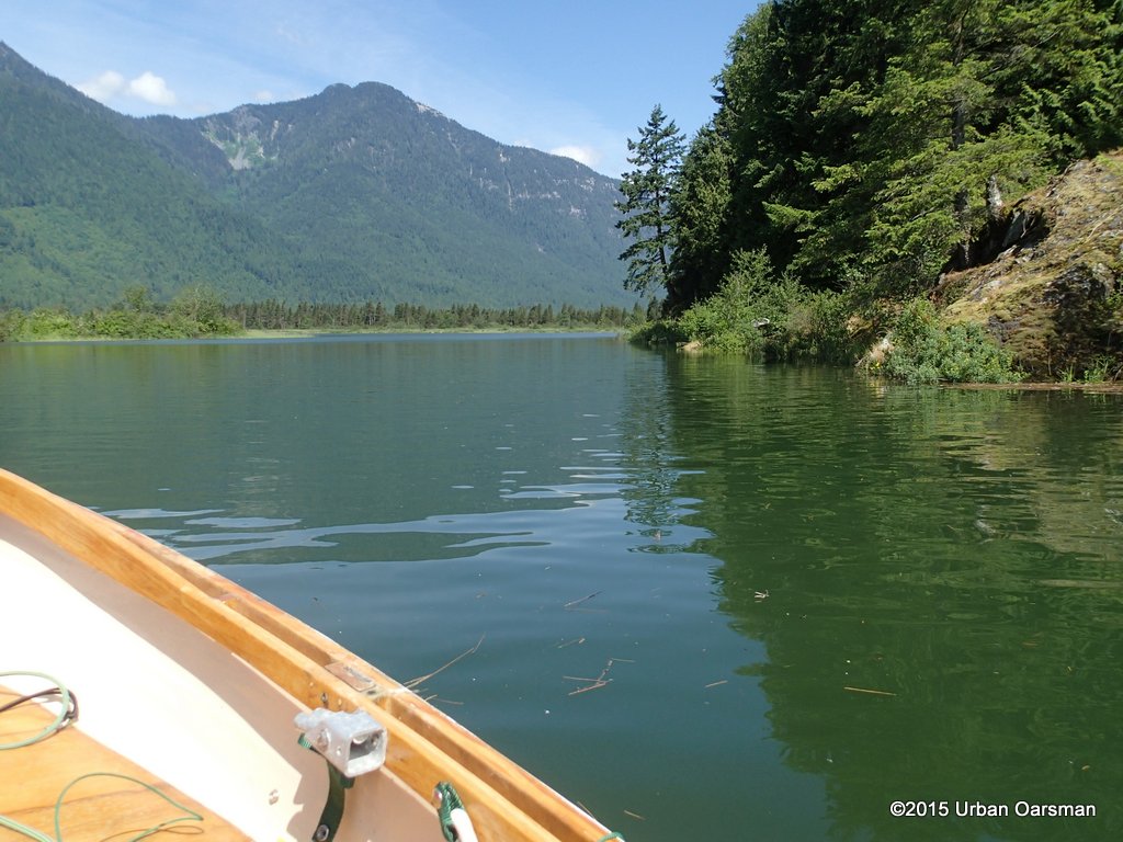
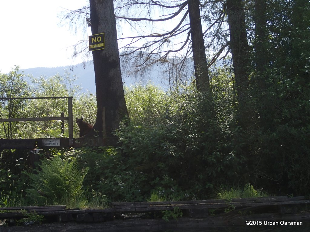
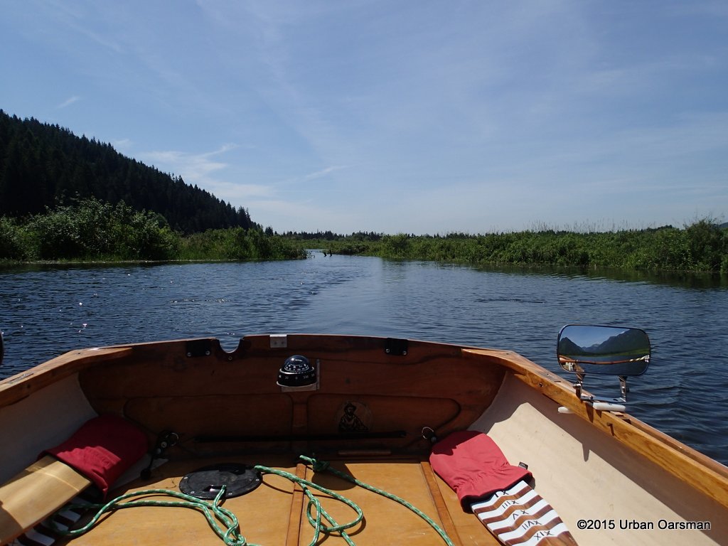
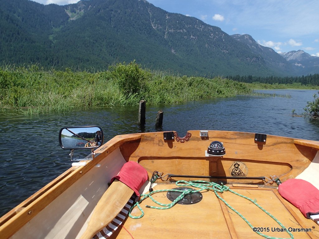
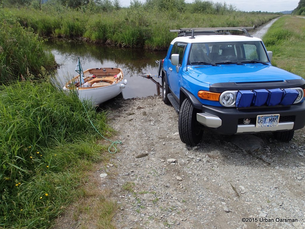
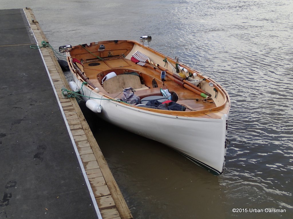 Gwragedd Annwn at the Maquabeak Park boat launch.
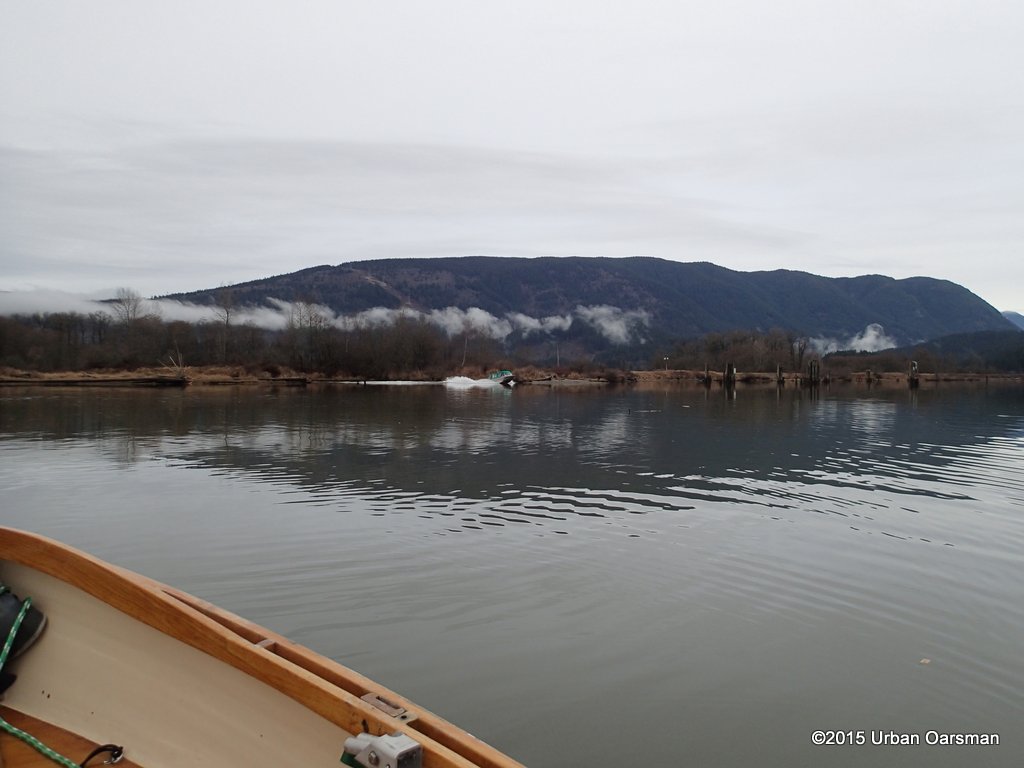
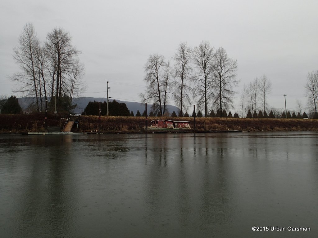
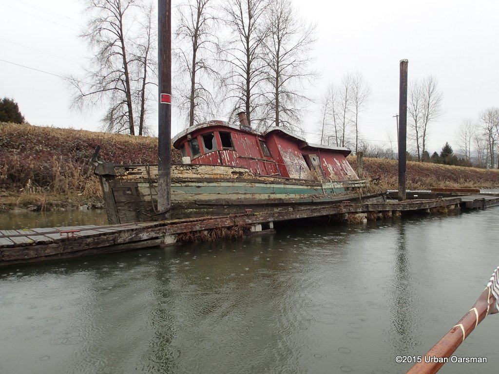
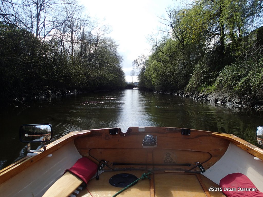
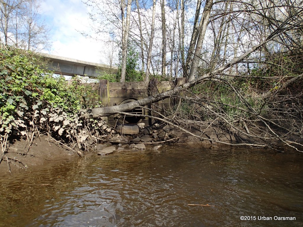
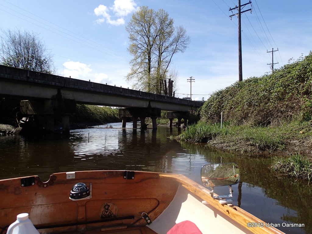
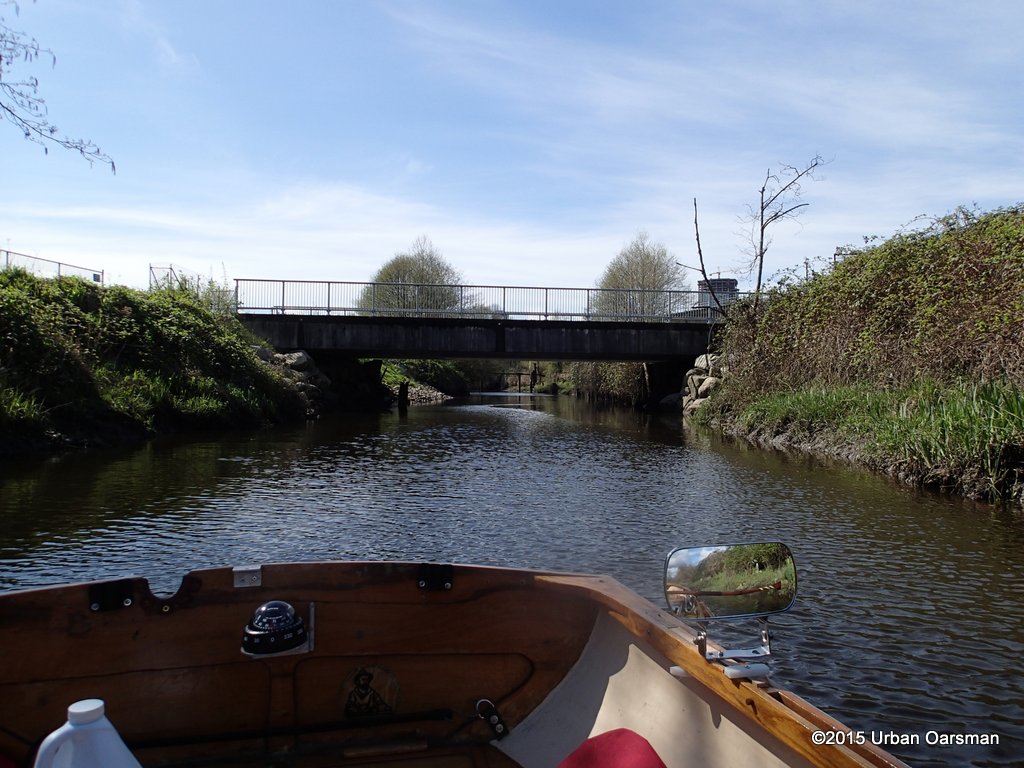
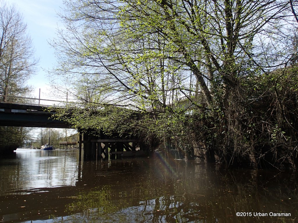
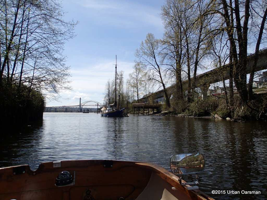
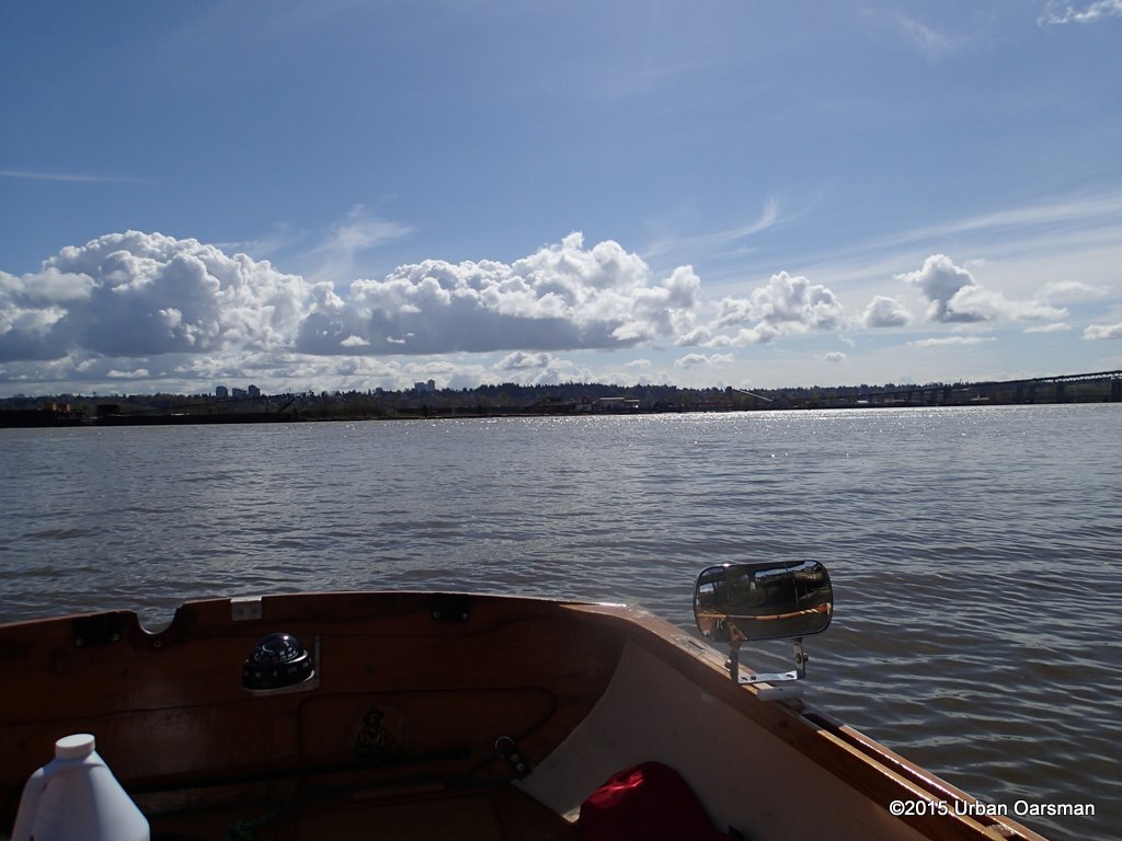
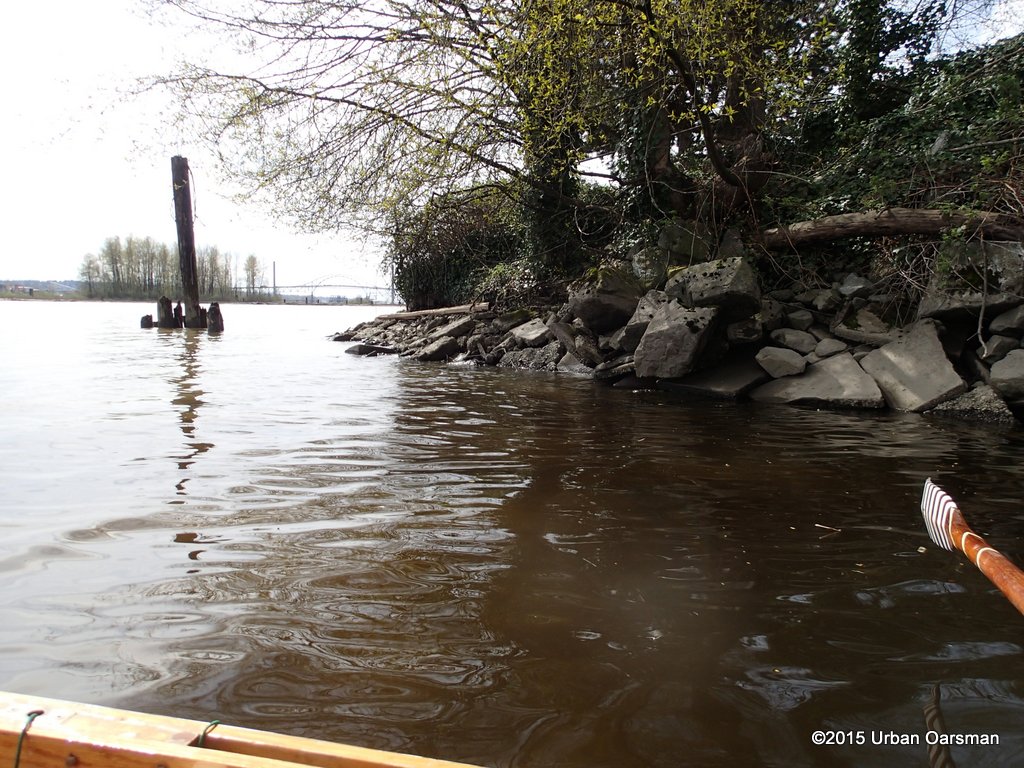
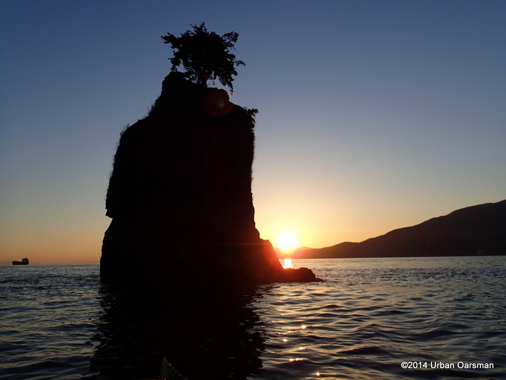
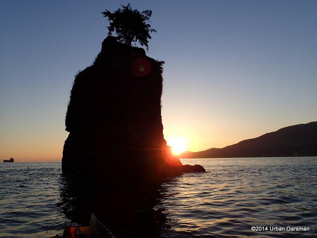
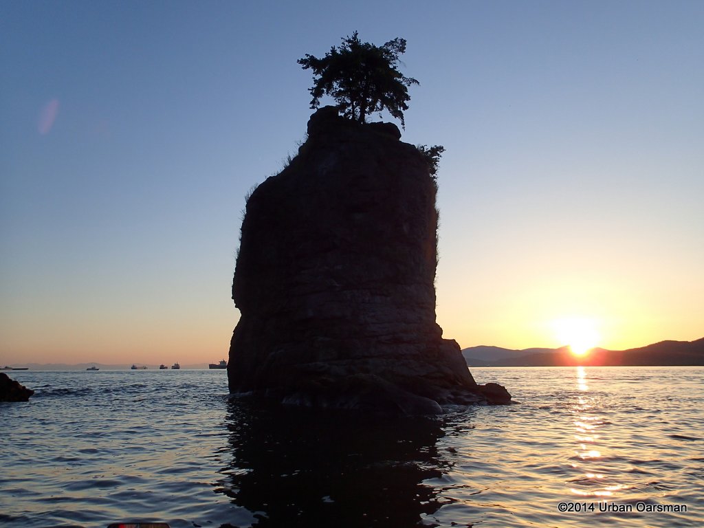
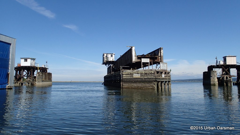
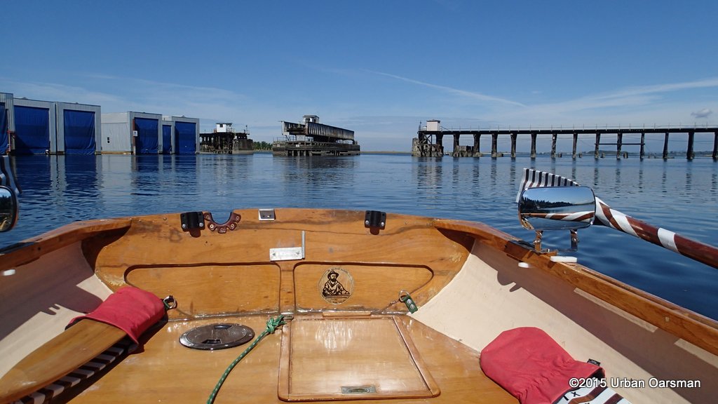
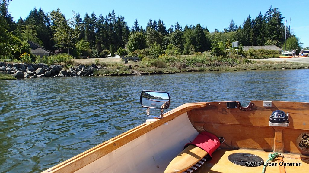
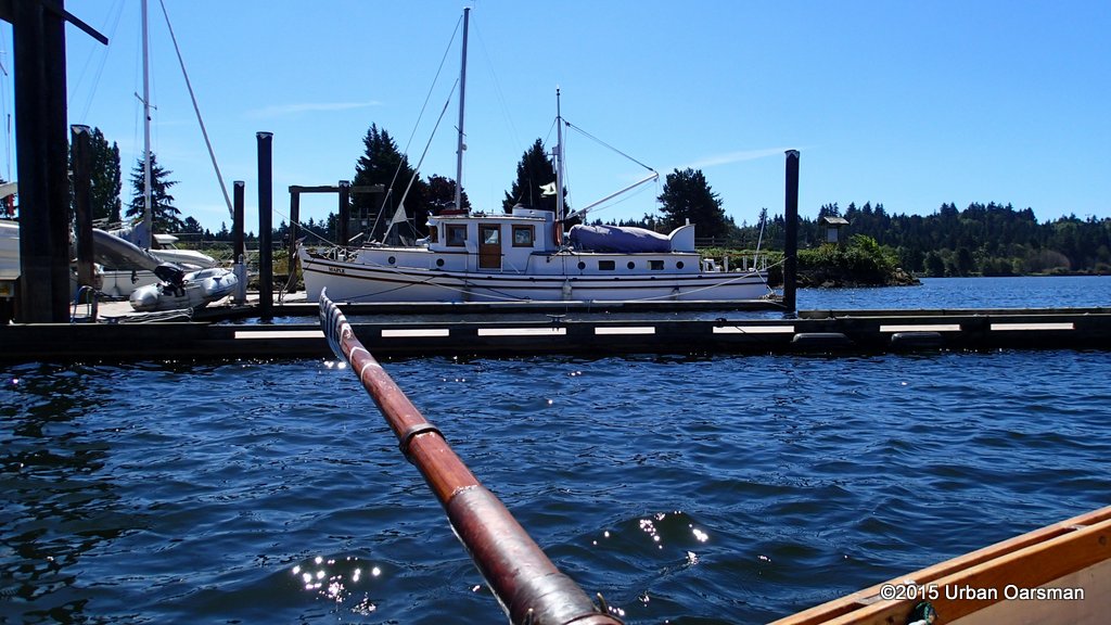
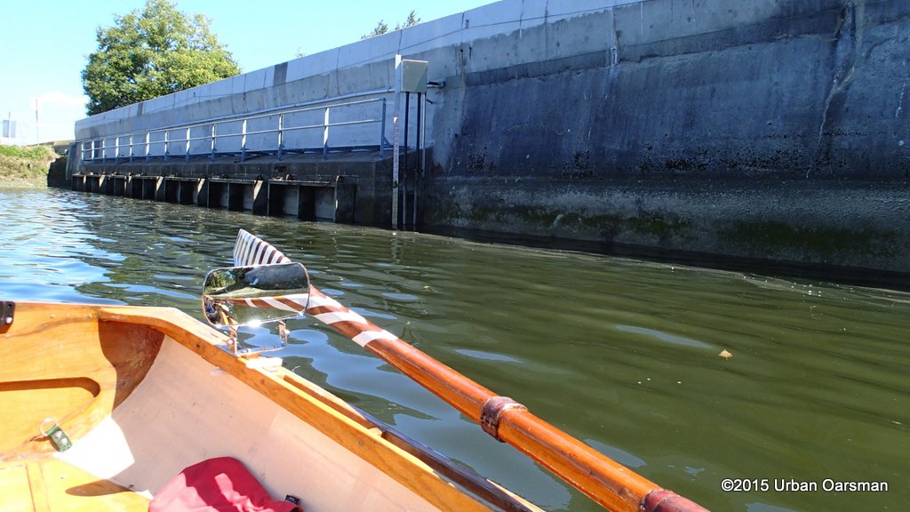
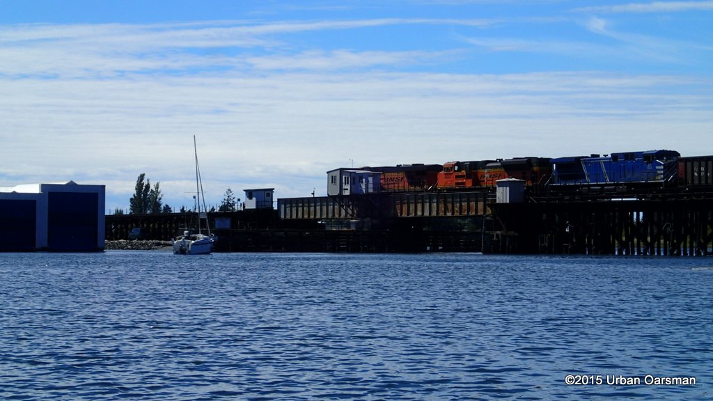
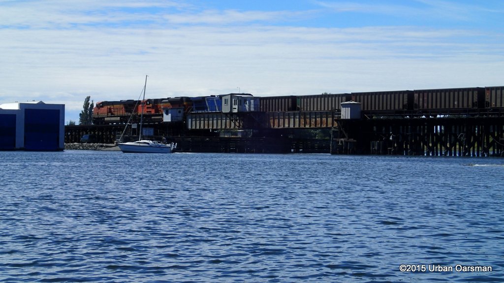
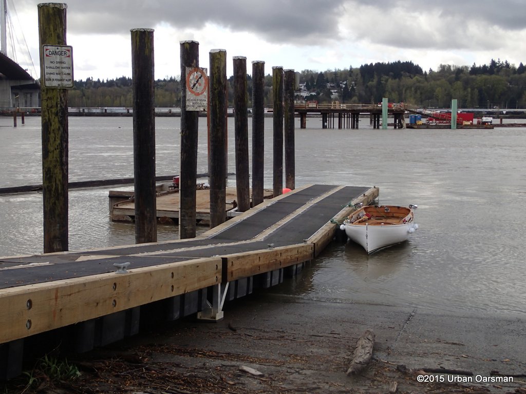 Gwragedd Annwn with the bridge deconstruction dock in the background.
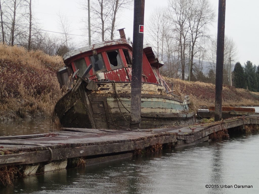
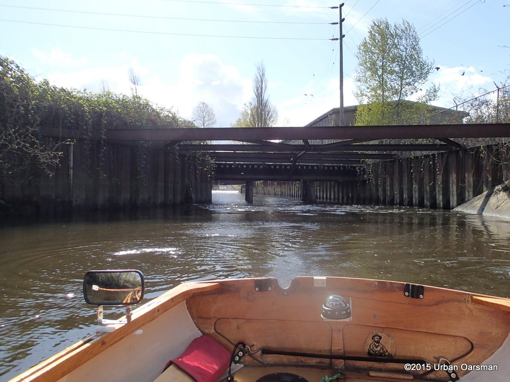
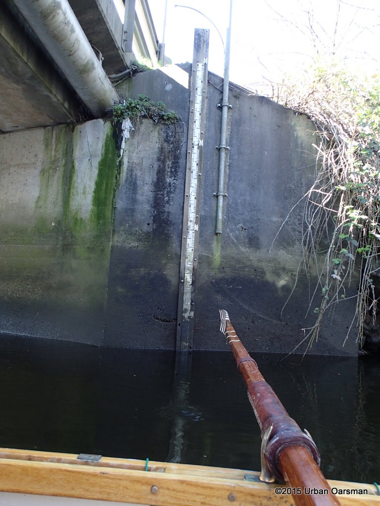
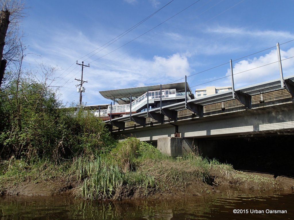
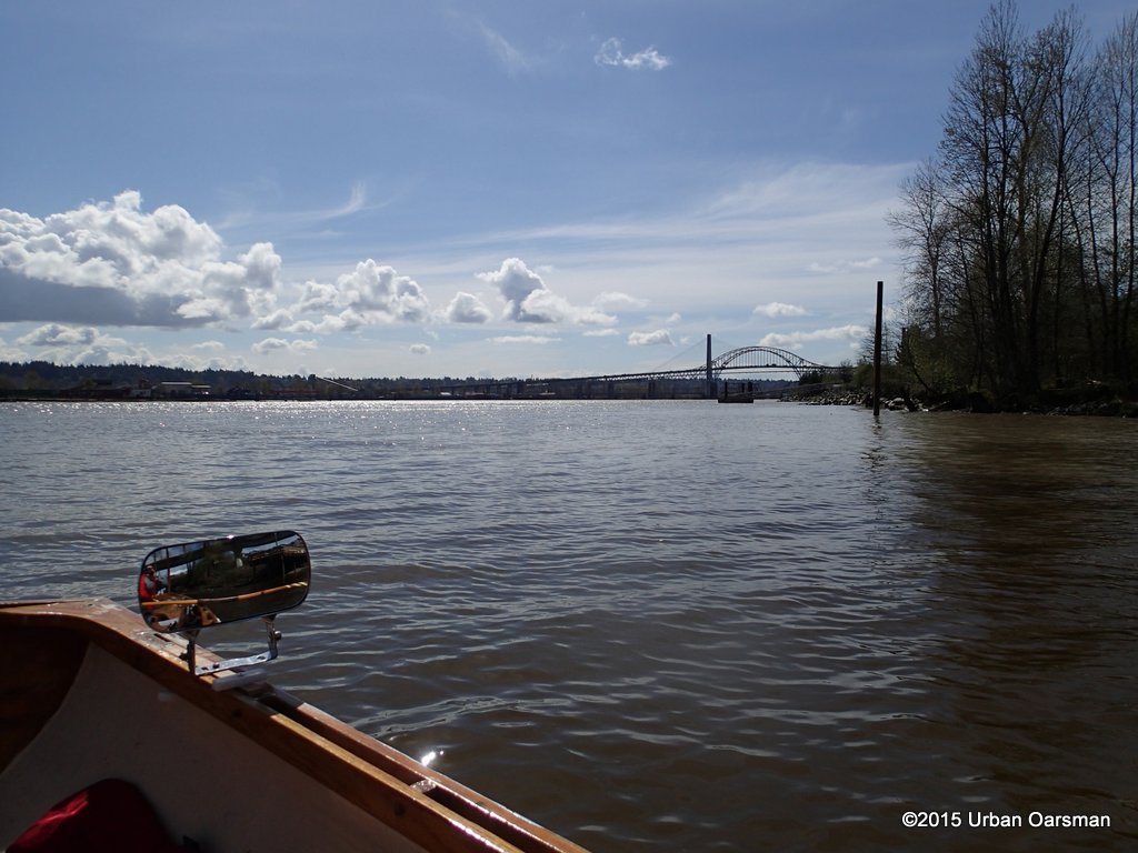
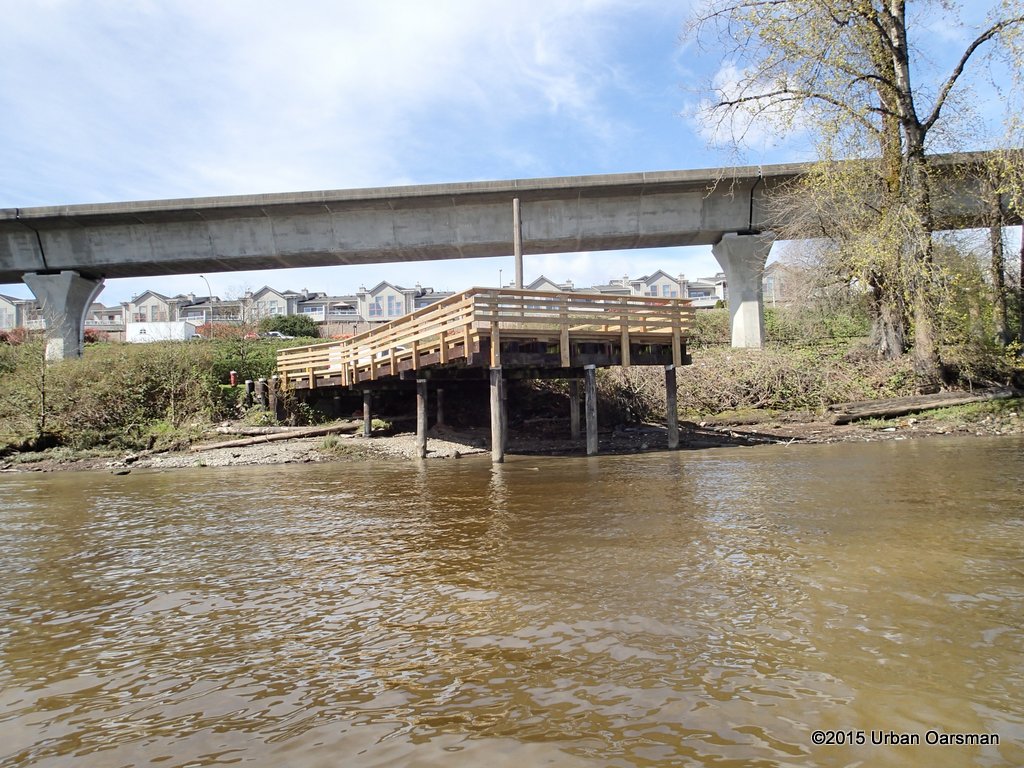
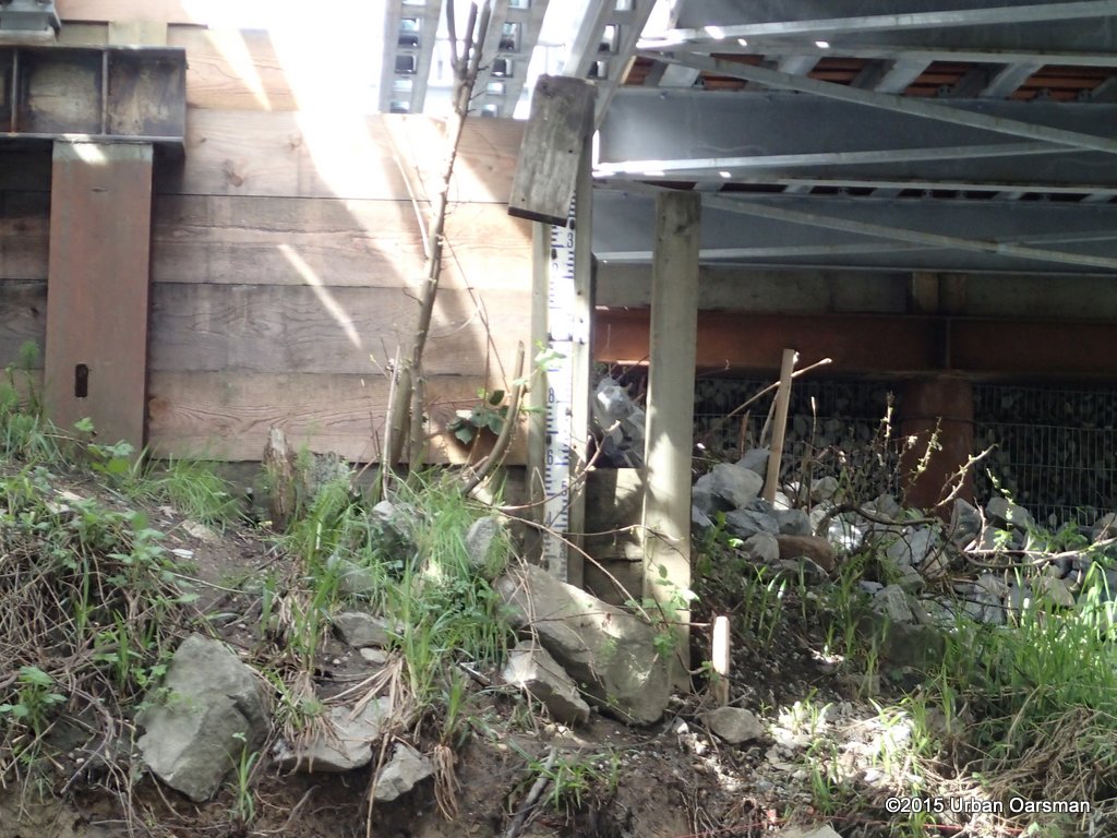
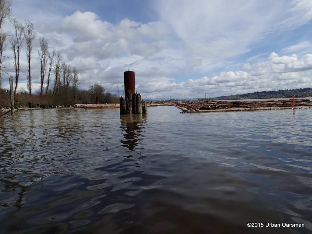
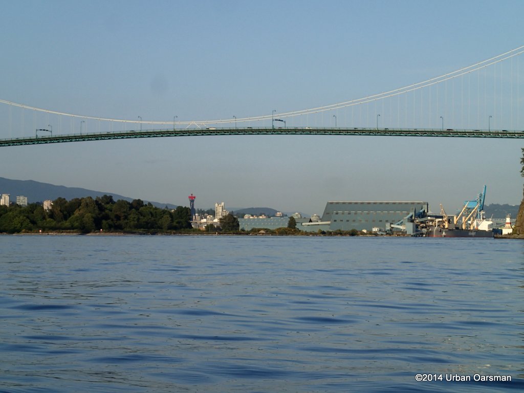
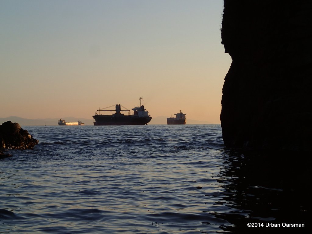
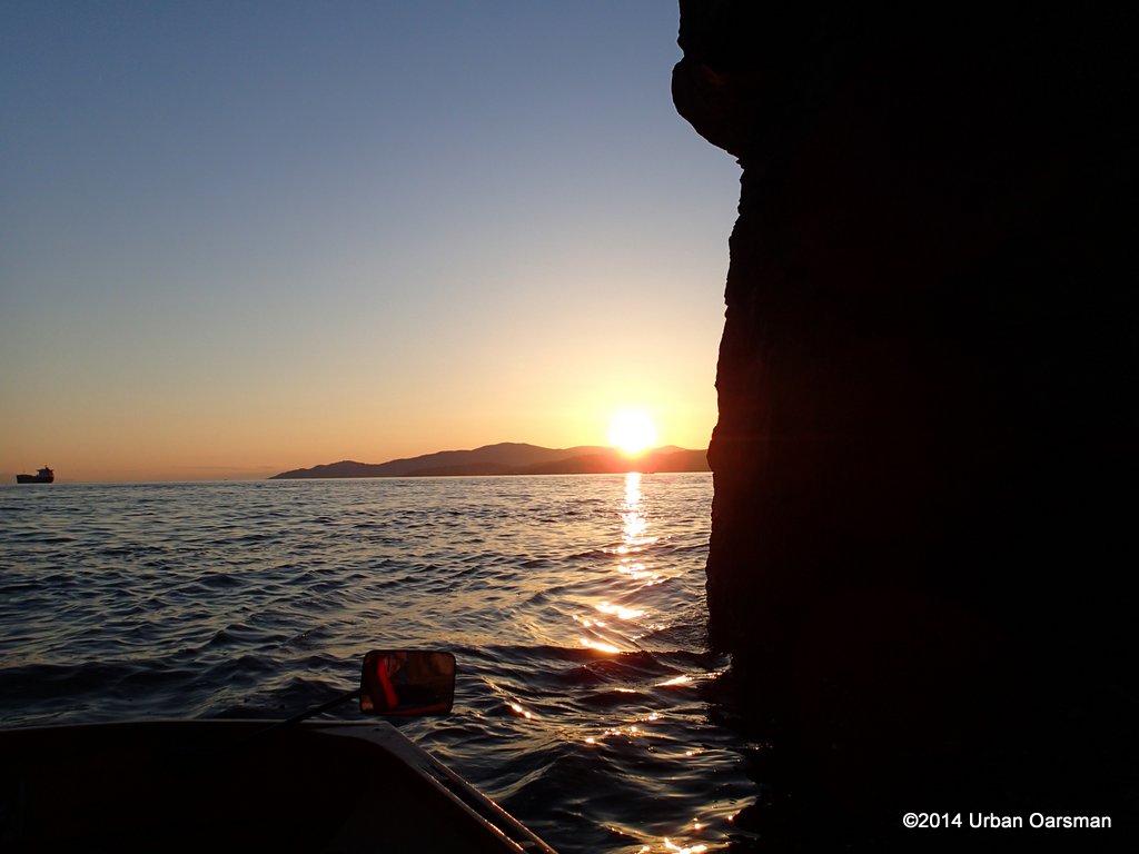
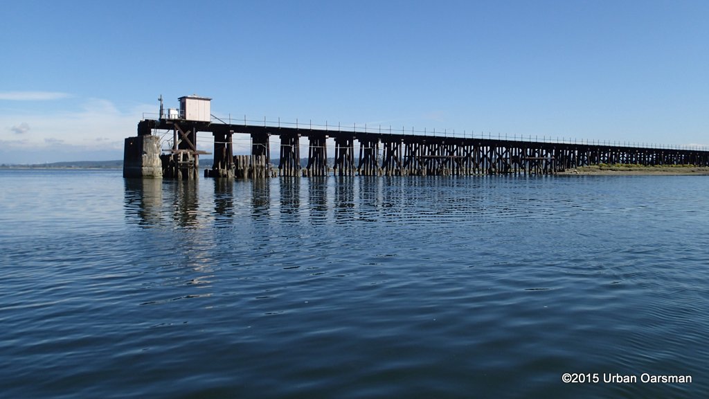
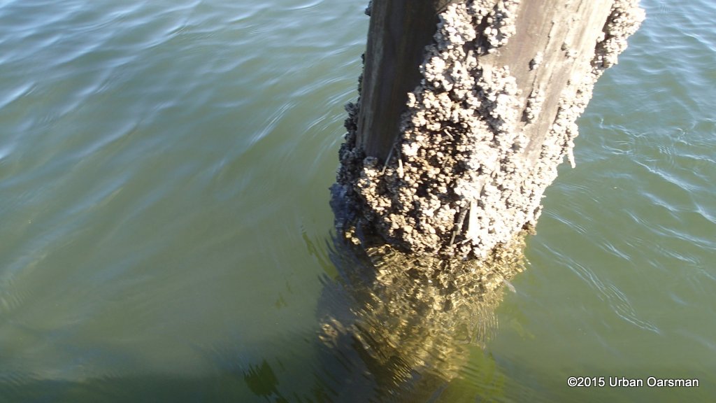
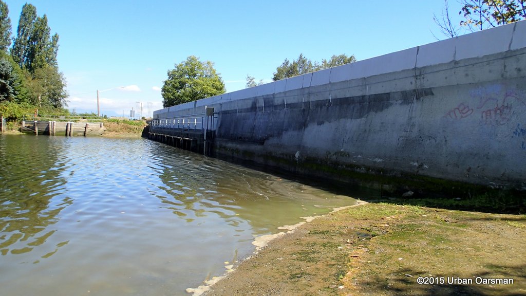
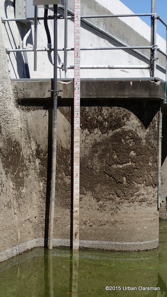
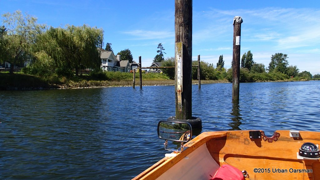
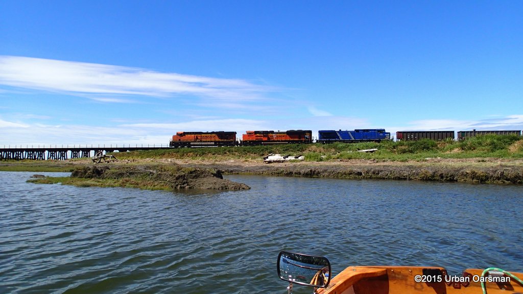
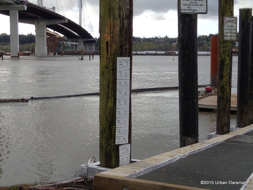 The deconstruction crew has refurbished the dock, putting a water level gauge on one of the pilings. The markings are in meters. The new Port Mann Bridge is to the left (East). The orange structure visible underneath the middle of the bridge is what is left of the old Port Mann Bridge.
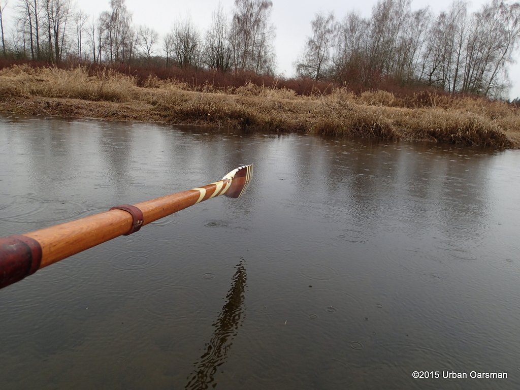
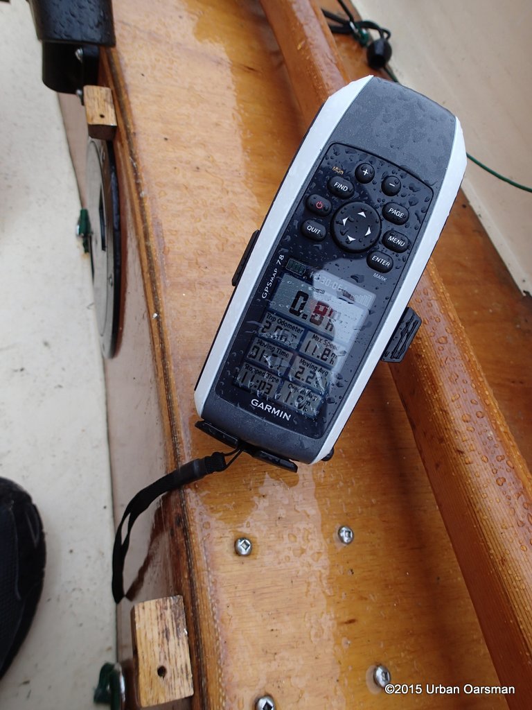
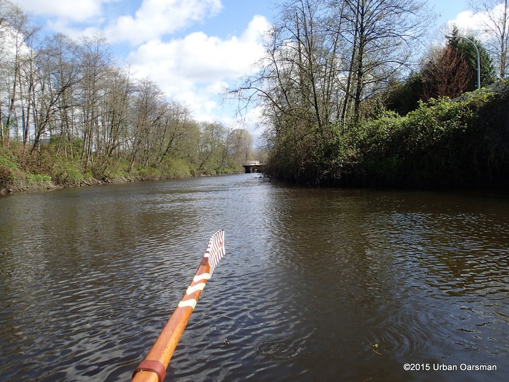
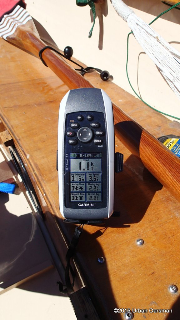
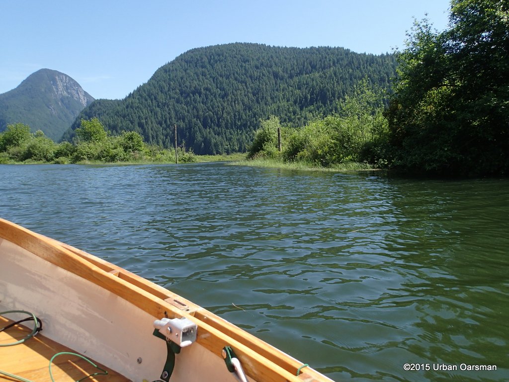
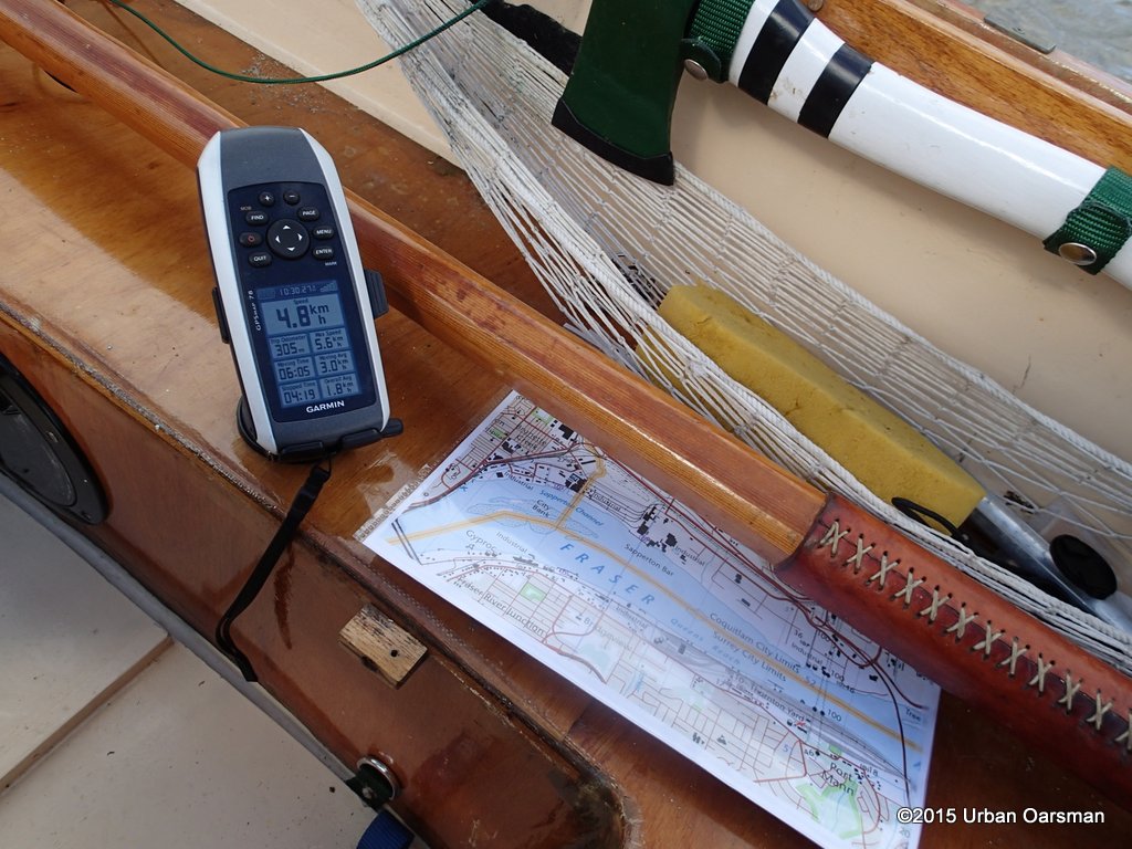 The current down river is almost 5km/hr. Besides taking my GPS navigatin unit, I always take paper charts and topo maps.
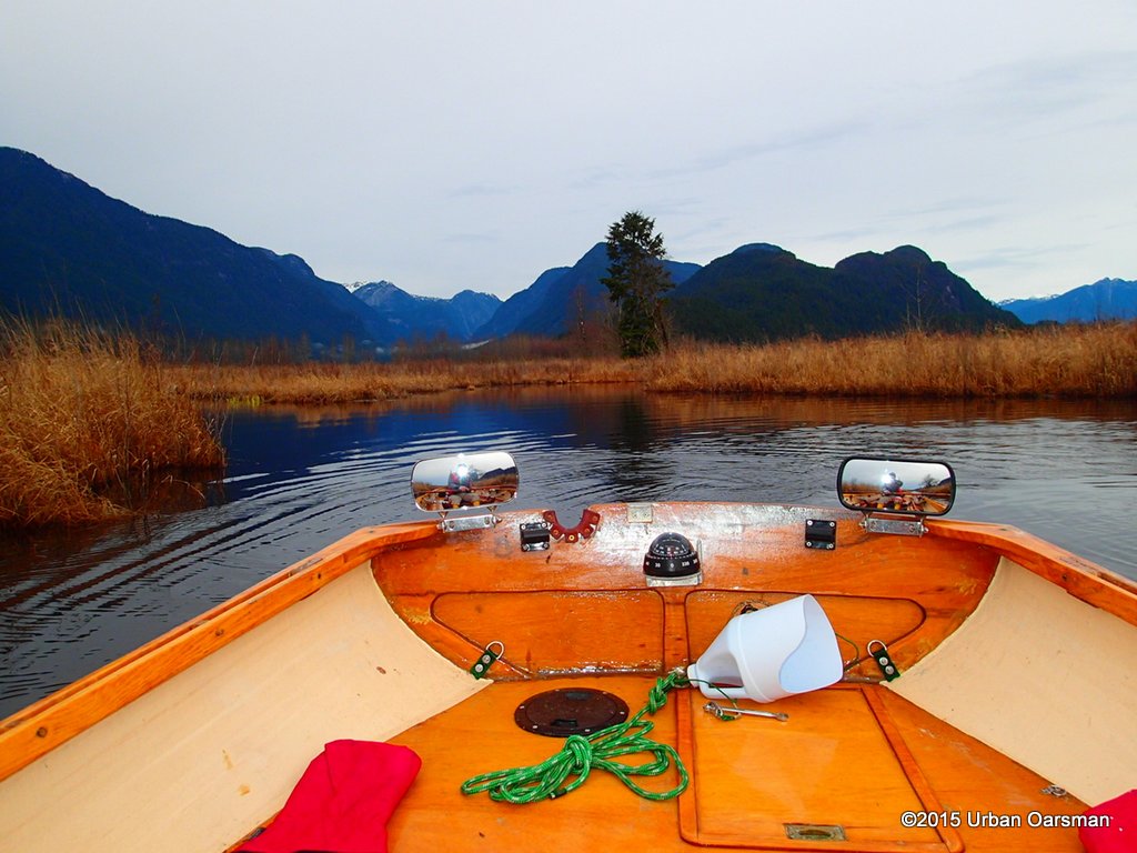
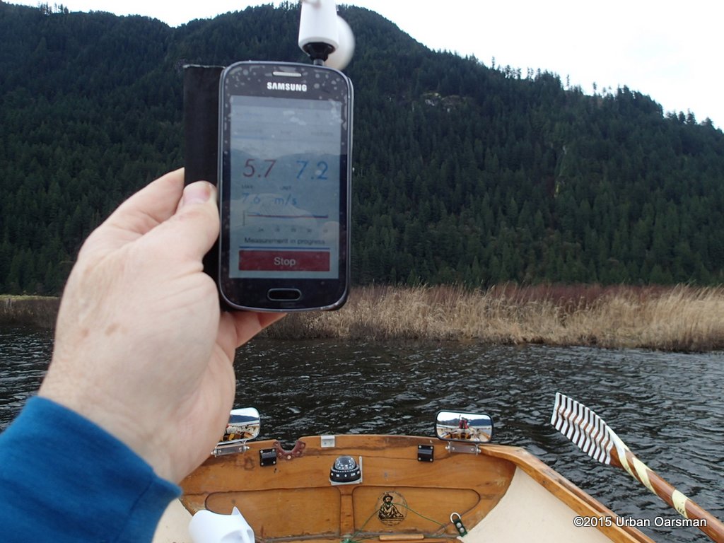
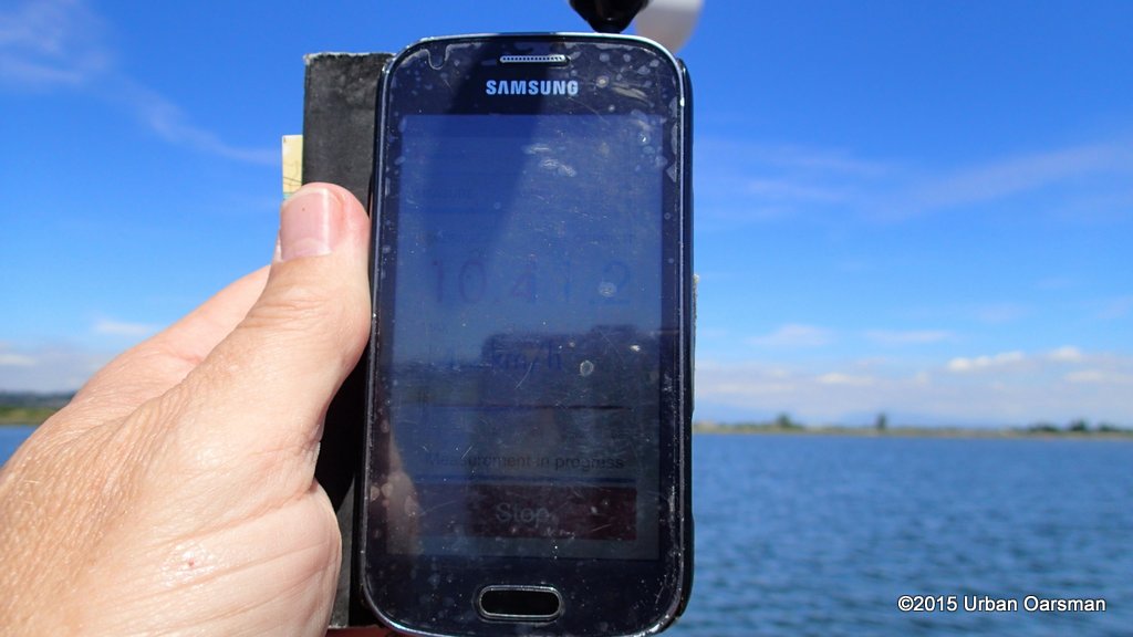
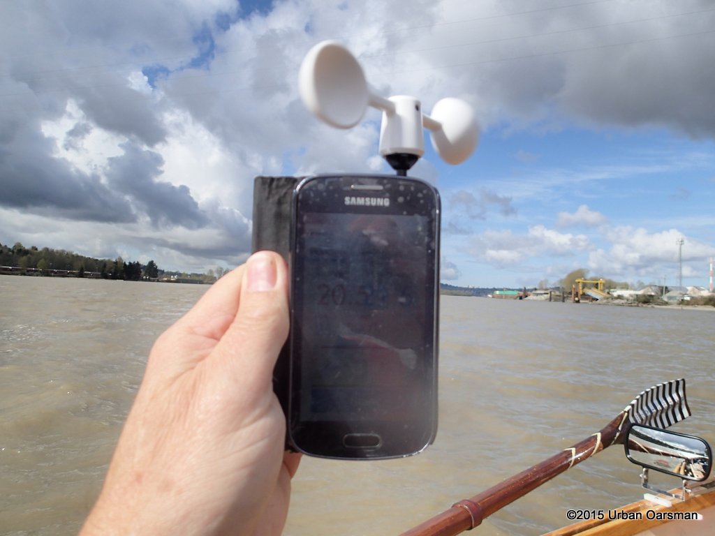 I have a vaavud wind meter. It works with my phone. It is reading 20.5km/hr. The wind is coming up river. If I row downstream, I get helped by the current. If I row upriver, the wind pushes me up against the current. If I take my oars out of the water, the wind and current almost ballence each other off.
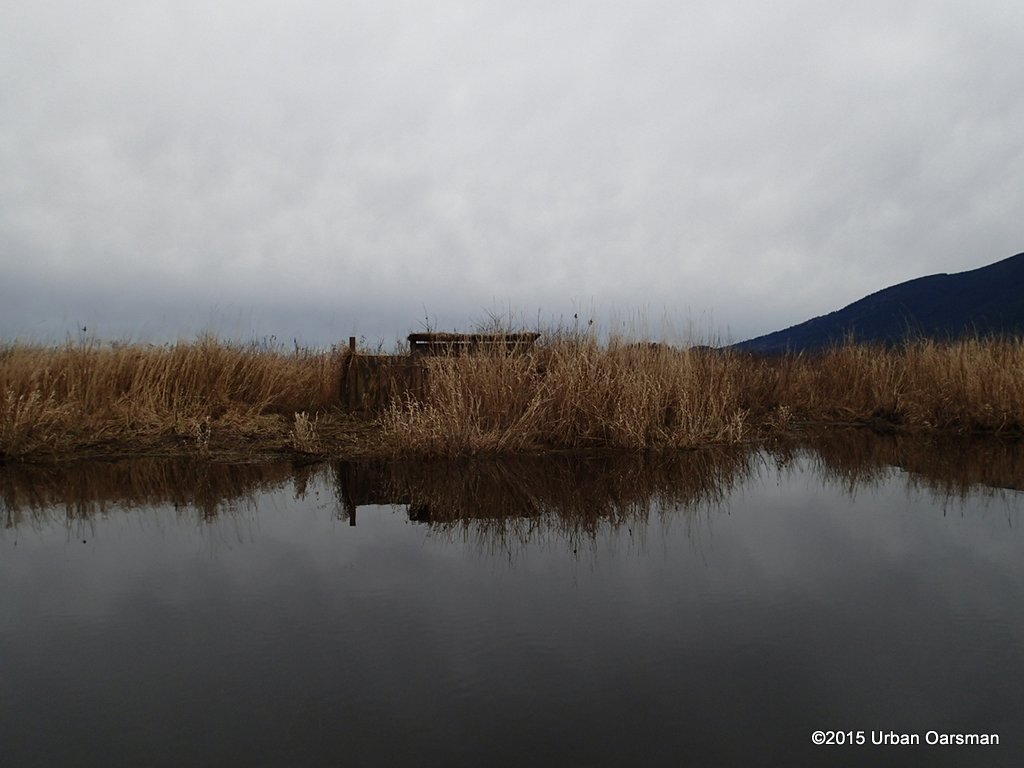
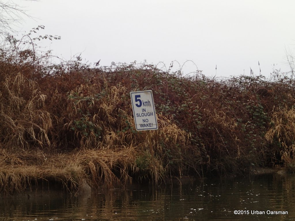
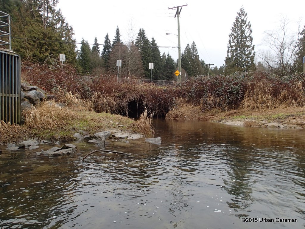
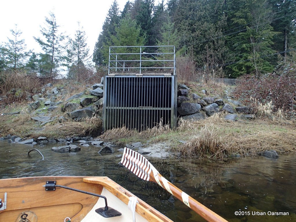
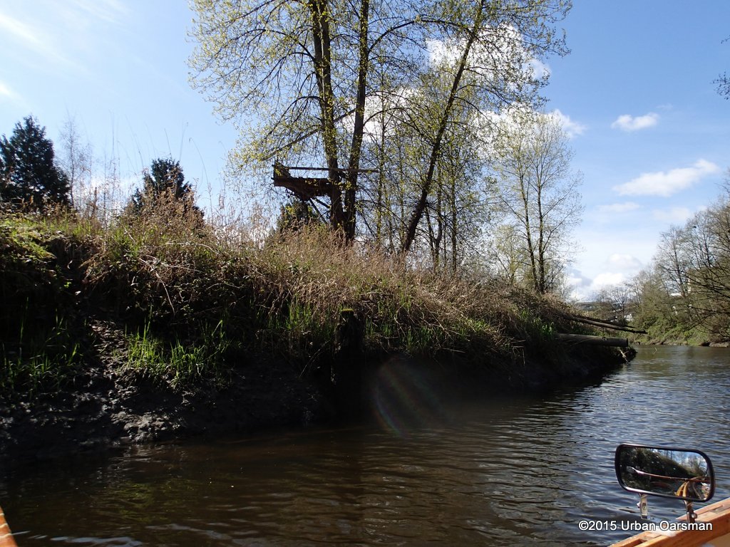
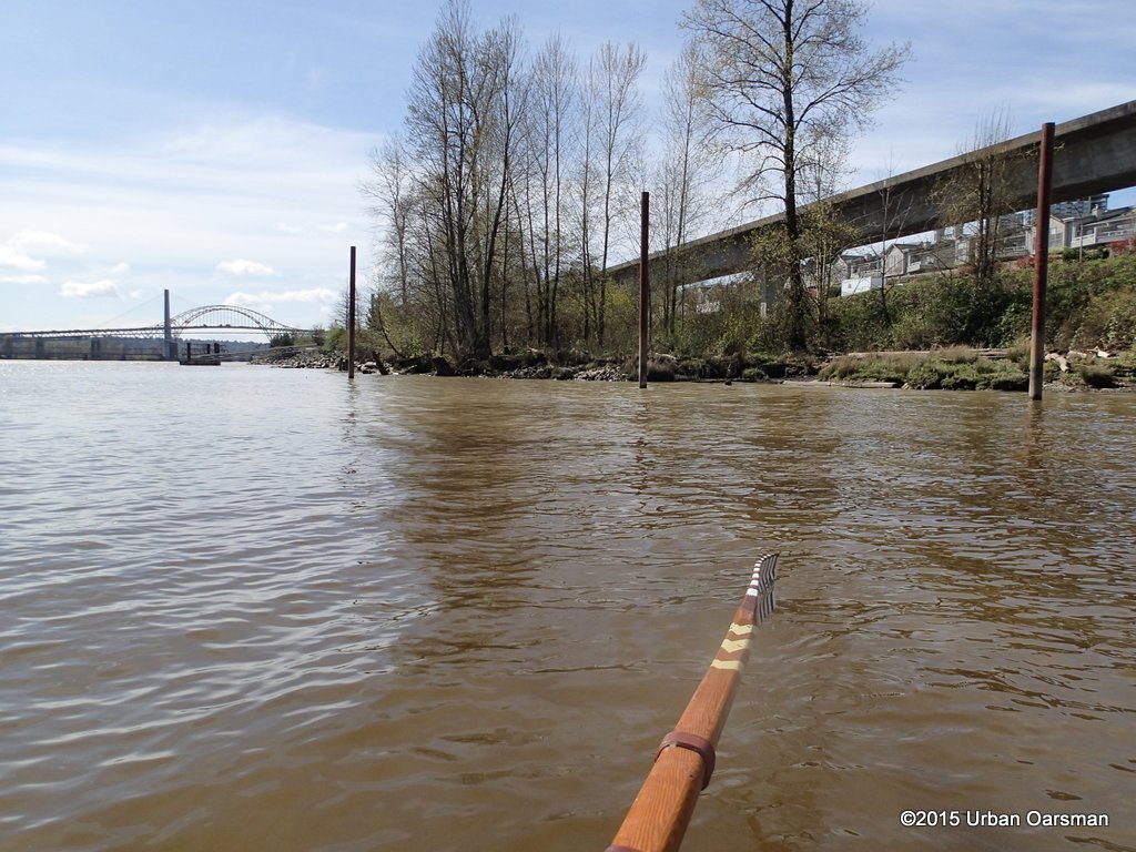
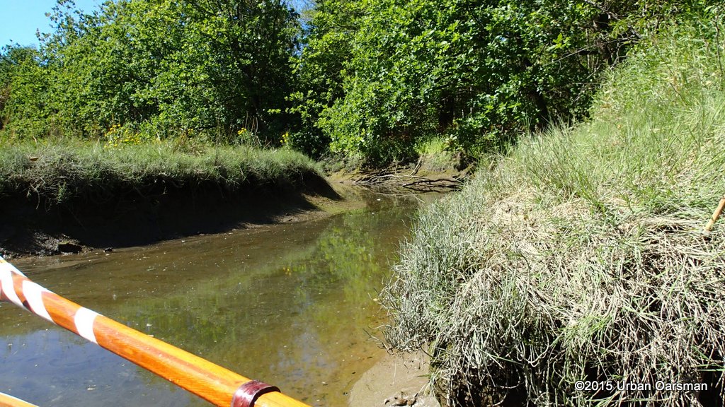
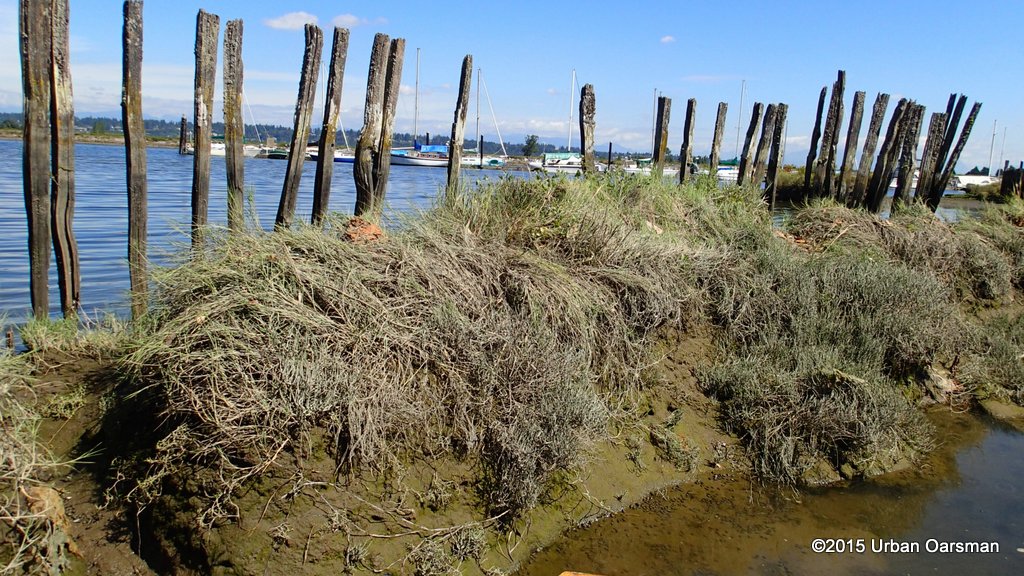
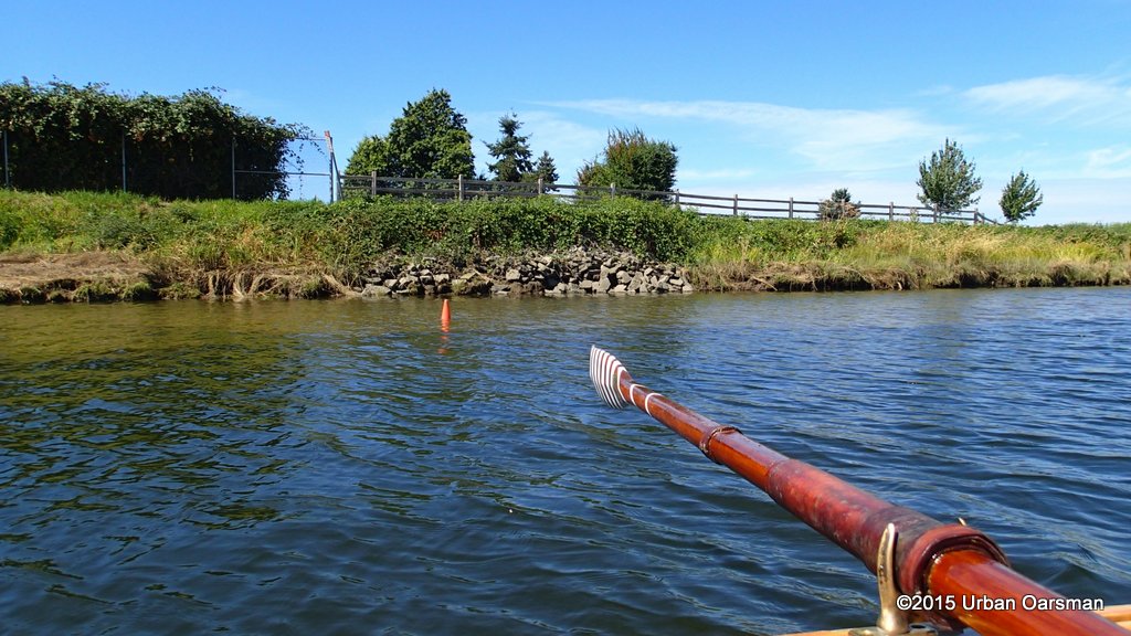
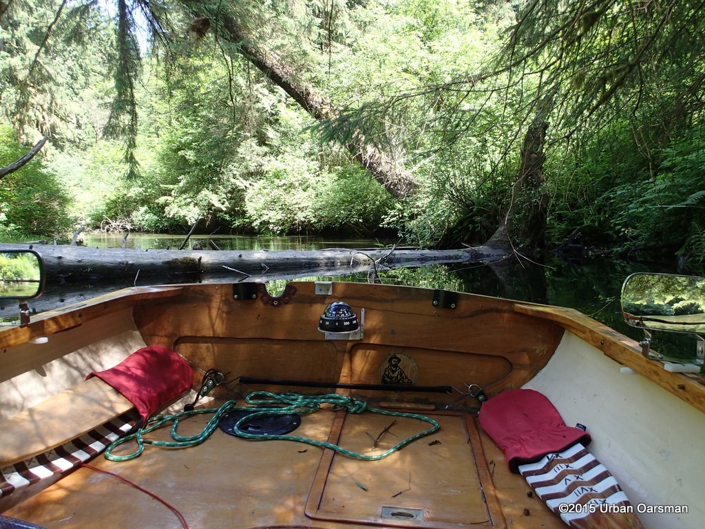
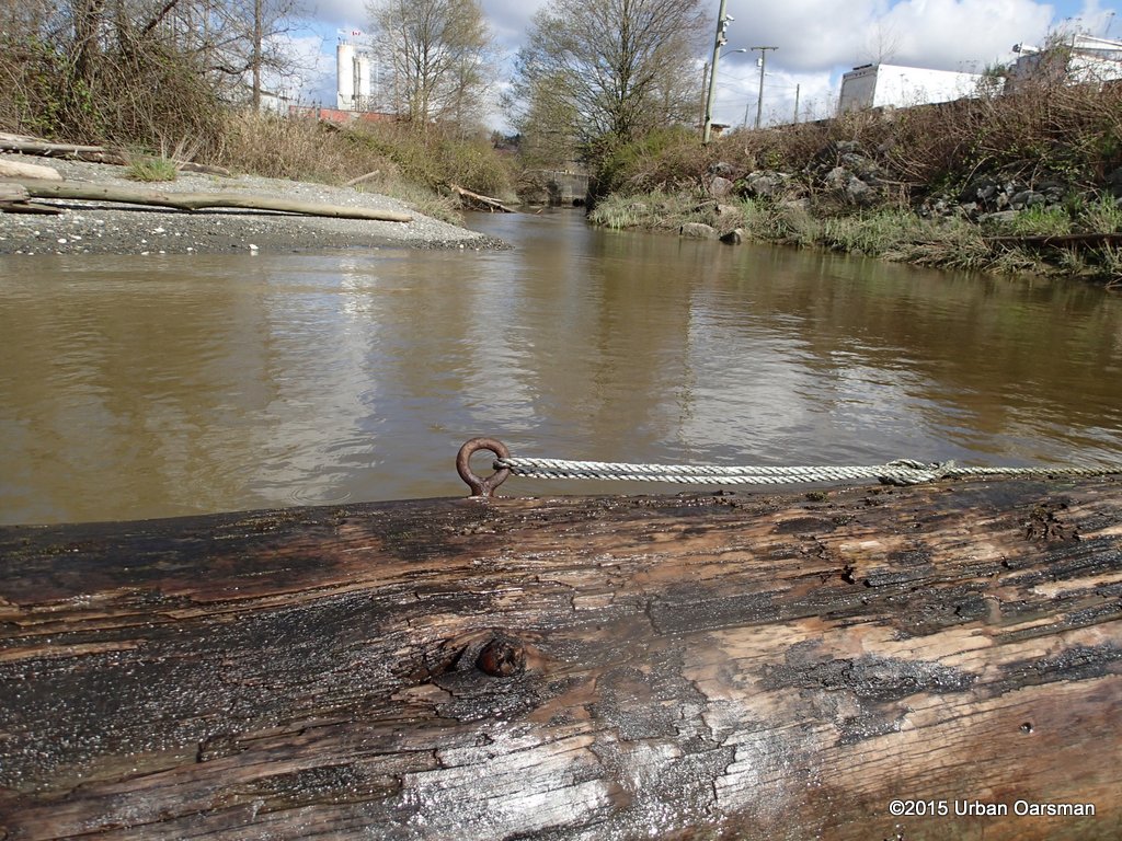 I believe this creek is called Dawes Hill. The mouth is blocked by this big booming log. The creek goes under three bridges and seems to disappear at United Boulevard.
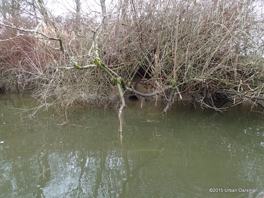
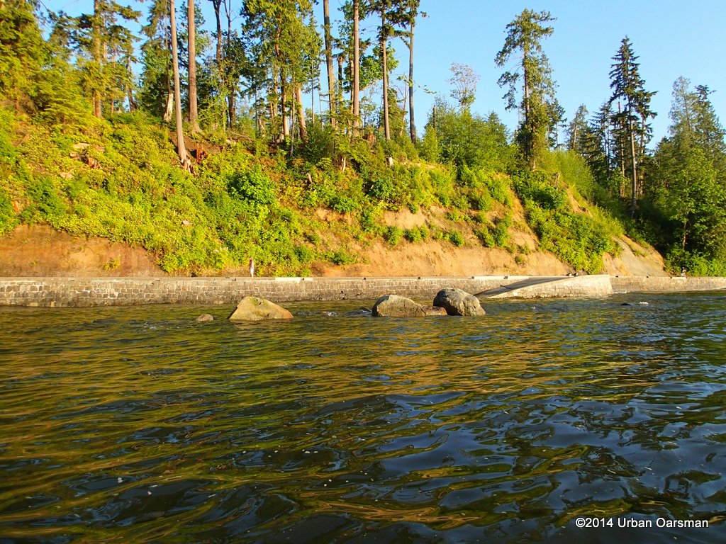
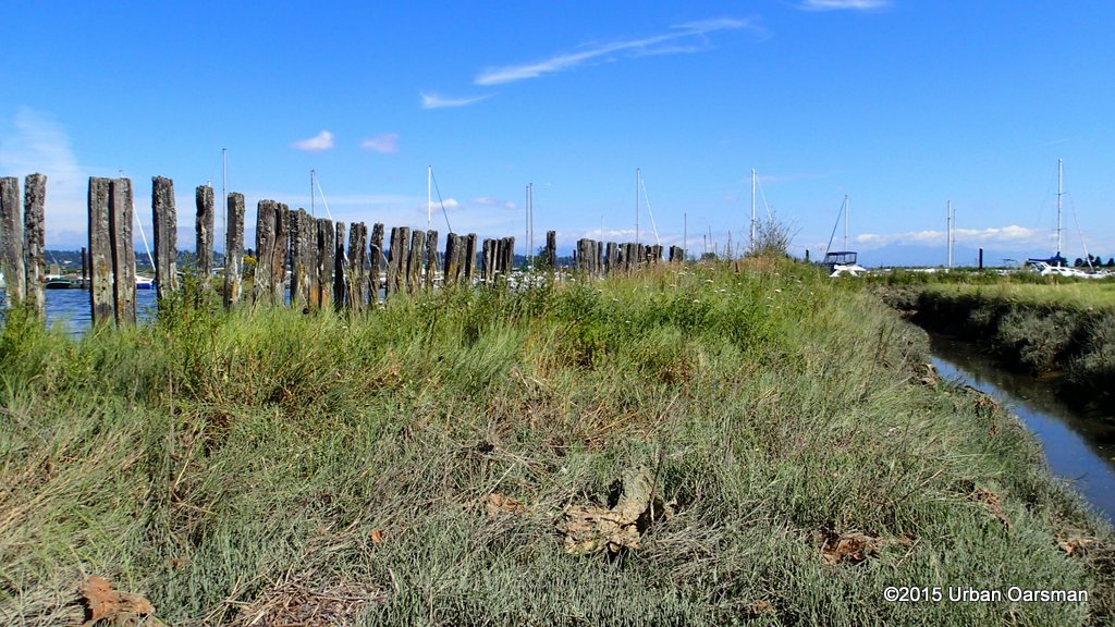
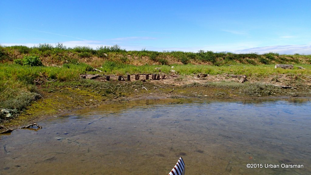
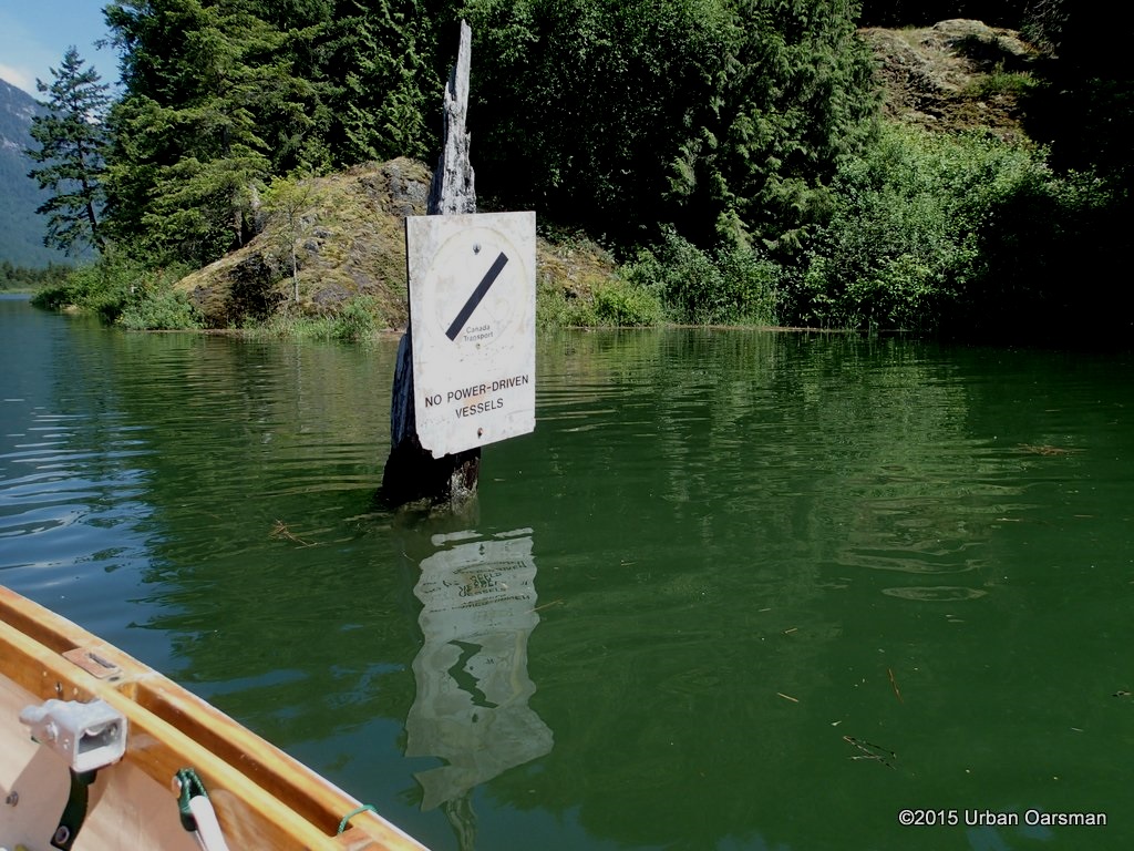
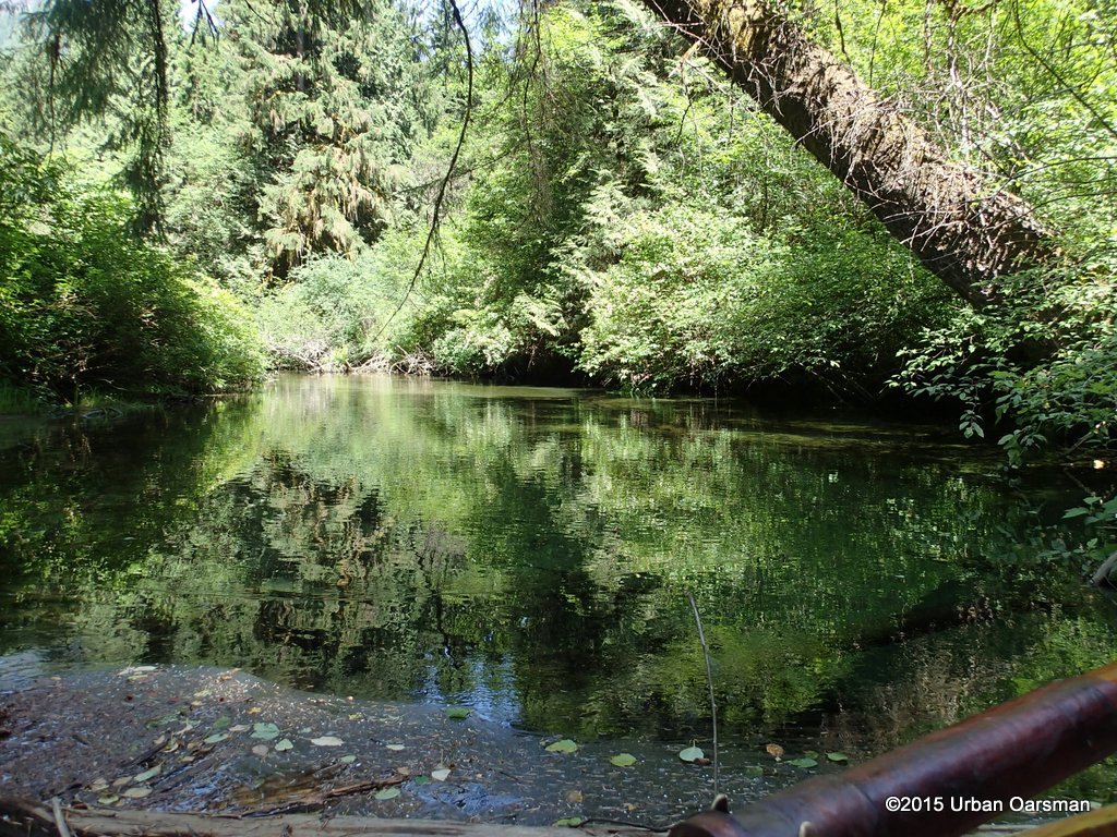
 At the higest tides, I could work my way around the log…I will have to come back in June when the Fraser is higher to go any further up this creek.
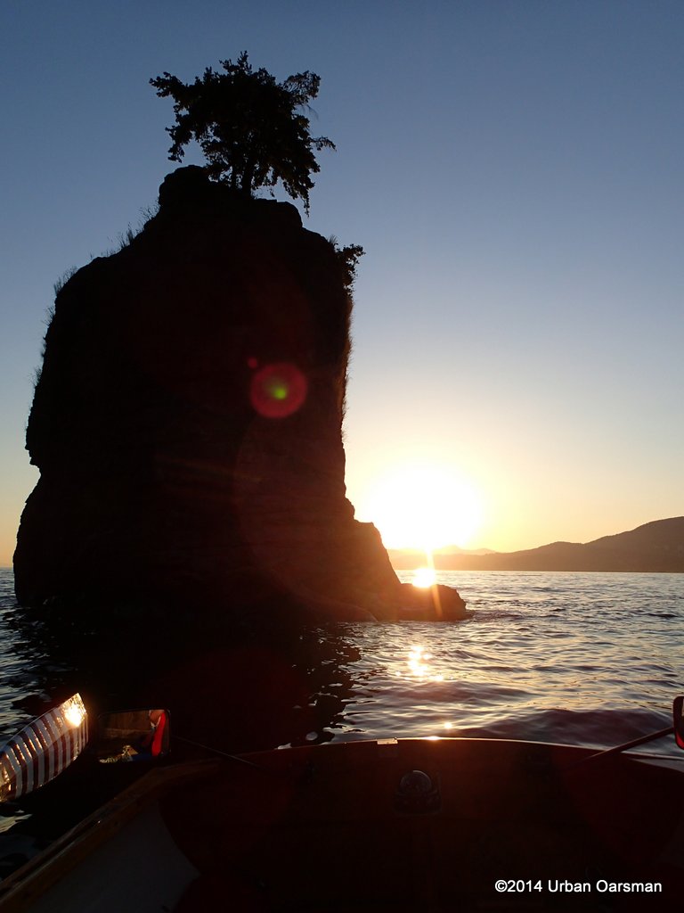
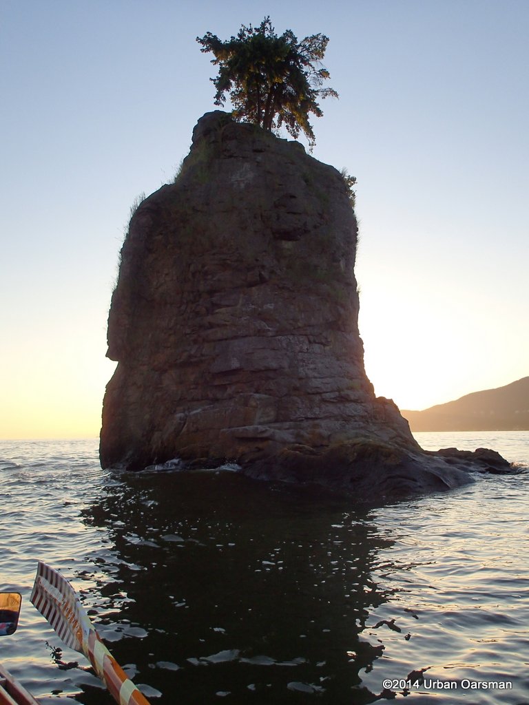
 Dog in a log.
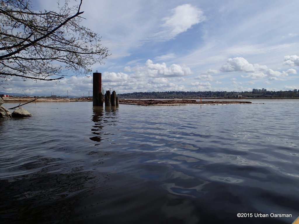
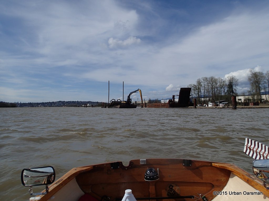
 The log sorting ground is active.
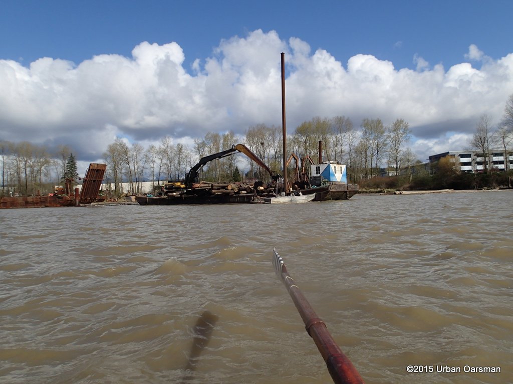 They are using an excavator on a barge to sort logs.
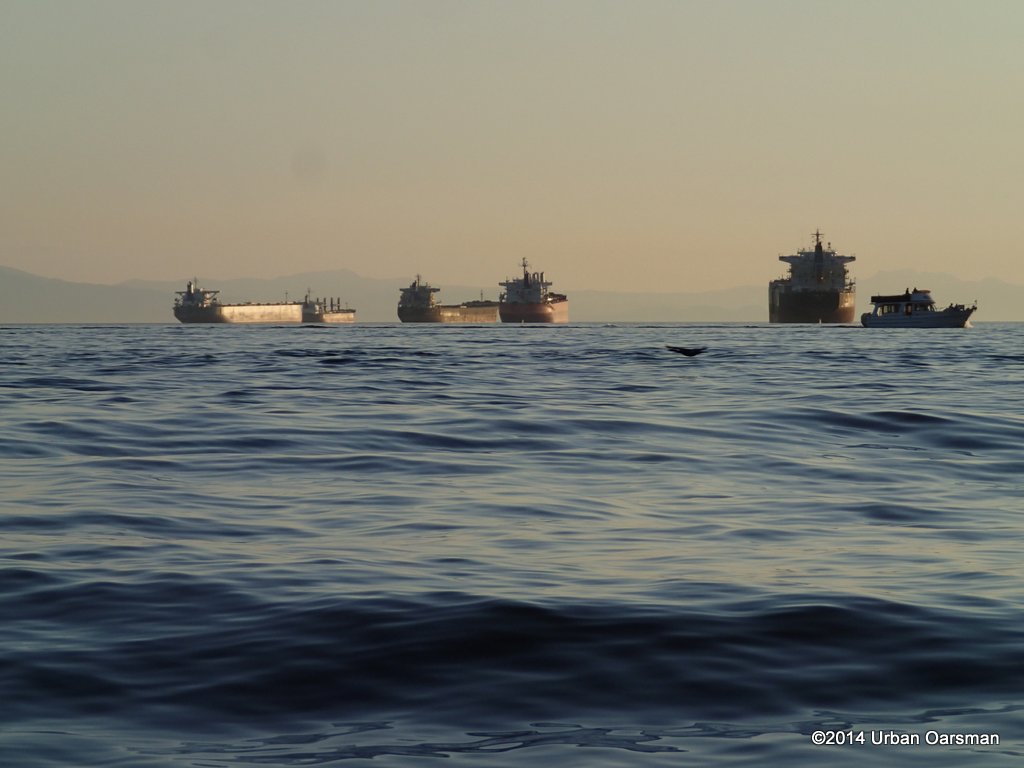
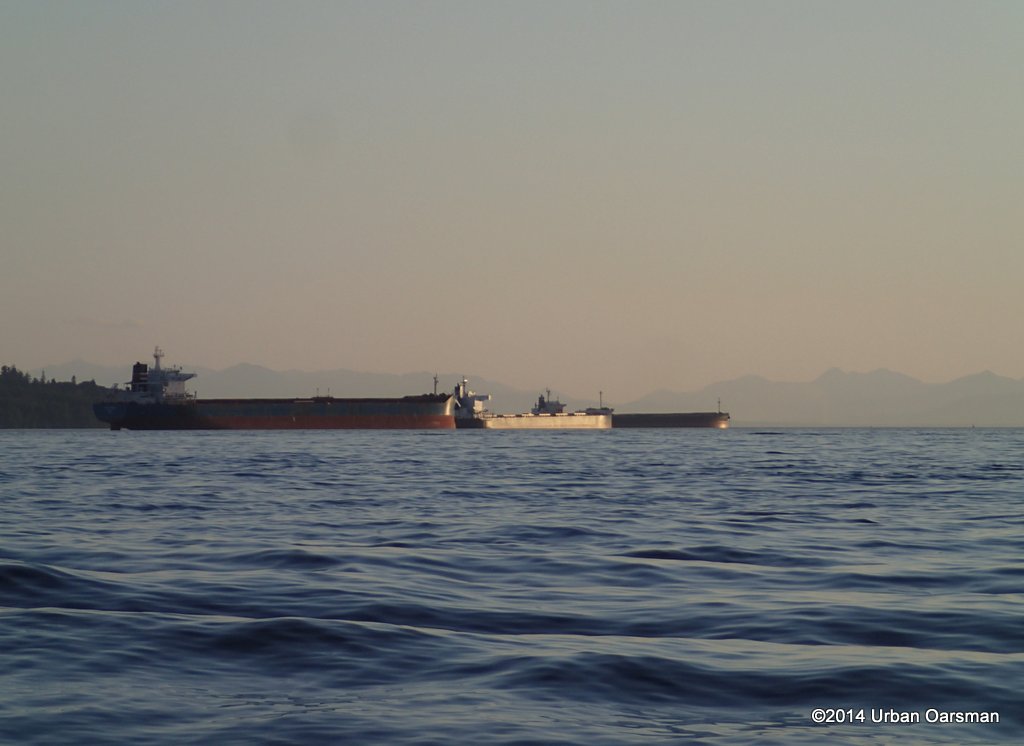
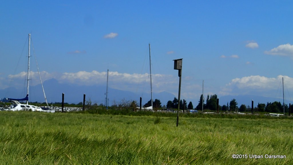
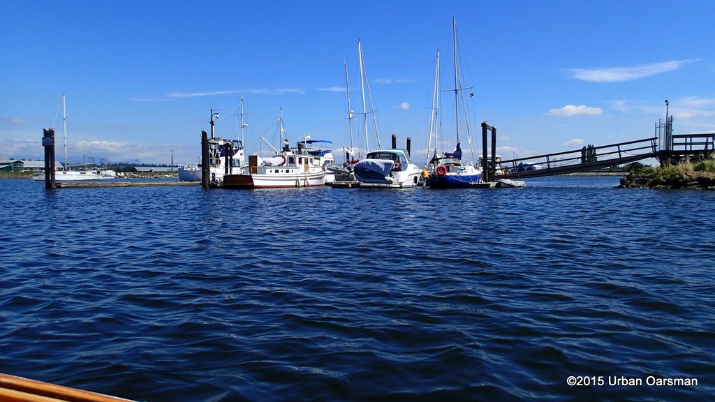
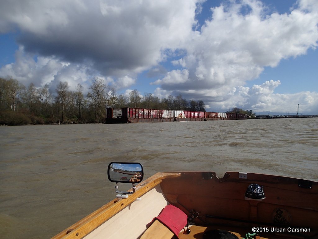 Seaspan barges moored on the North Shore. They were here on the Sapperton Channel Row of March 16th, 2015.
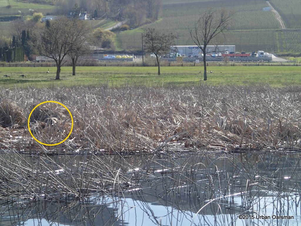
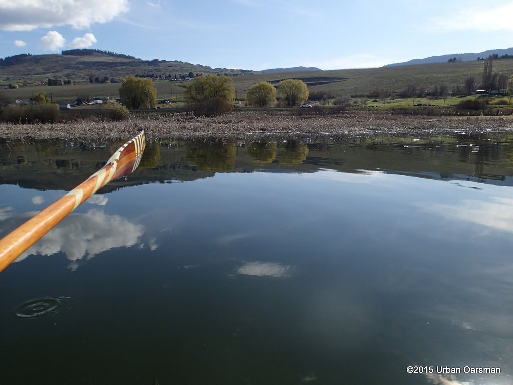
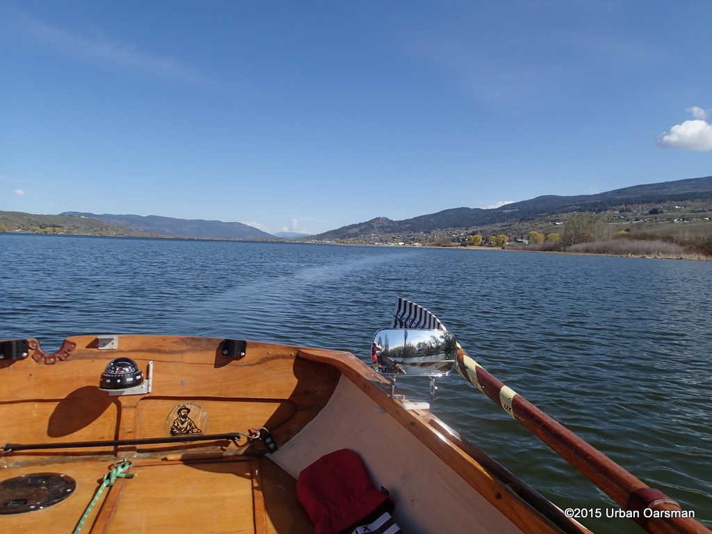
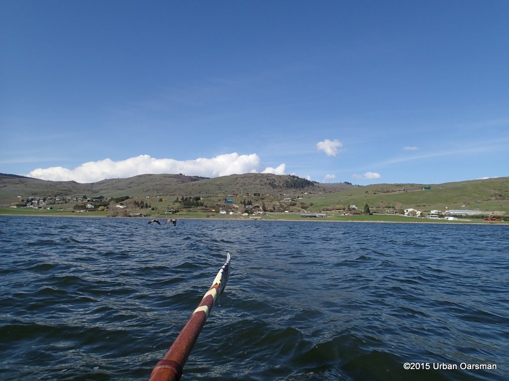
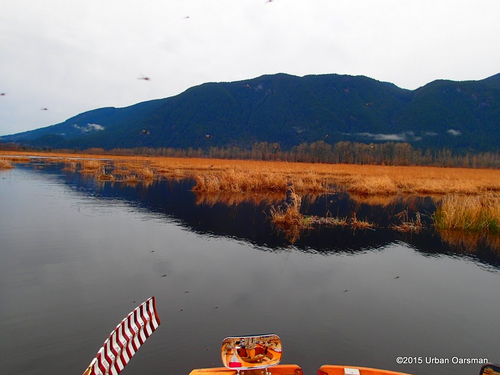
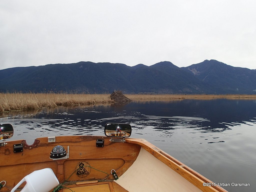
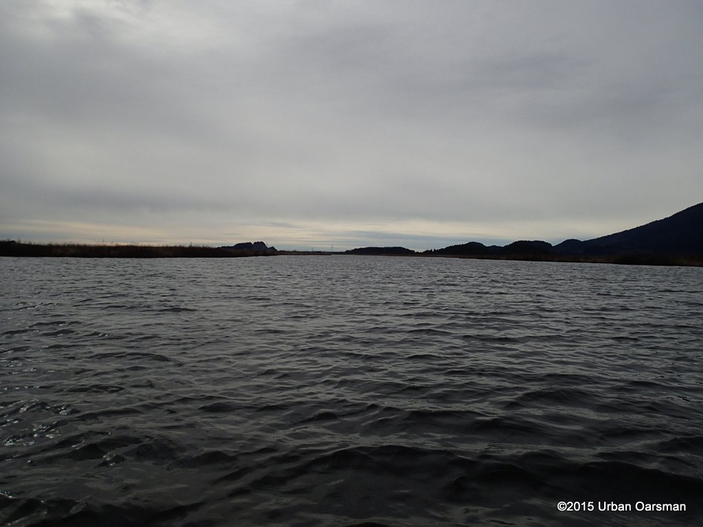
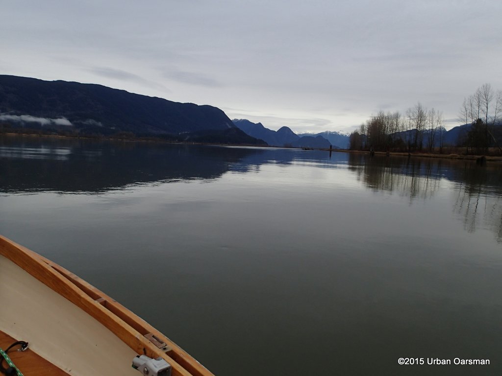
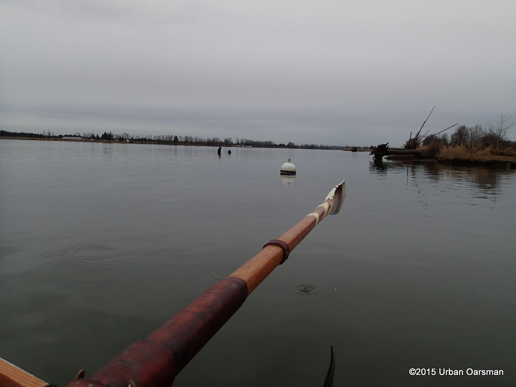
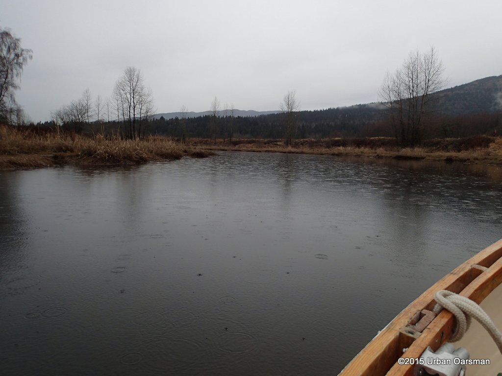
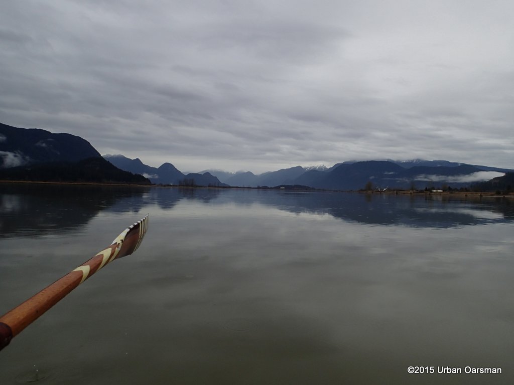
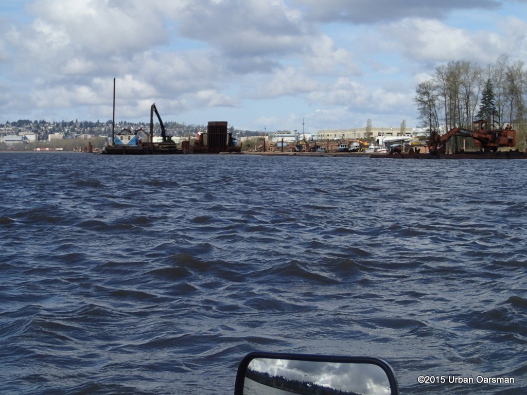
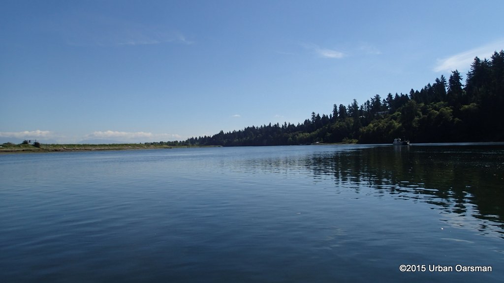
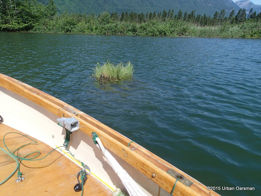
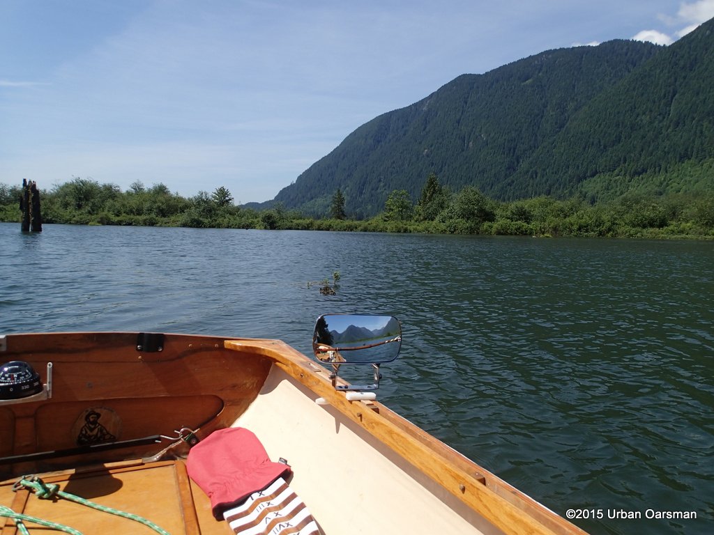
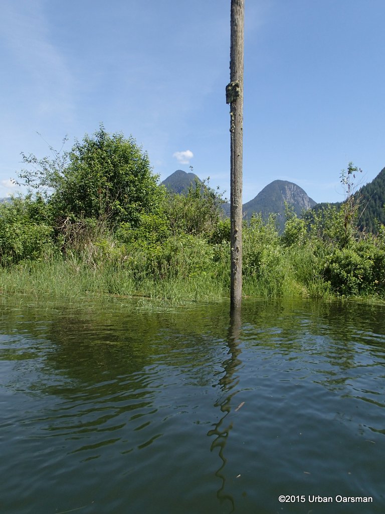
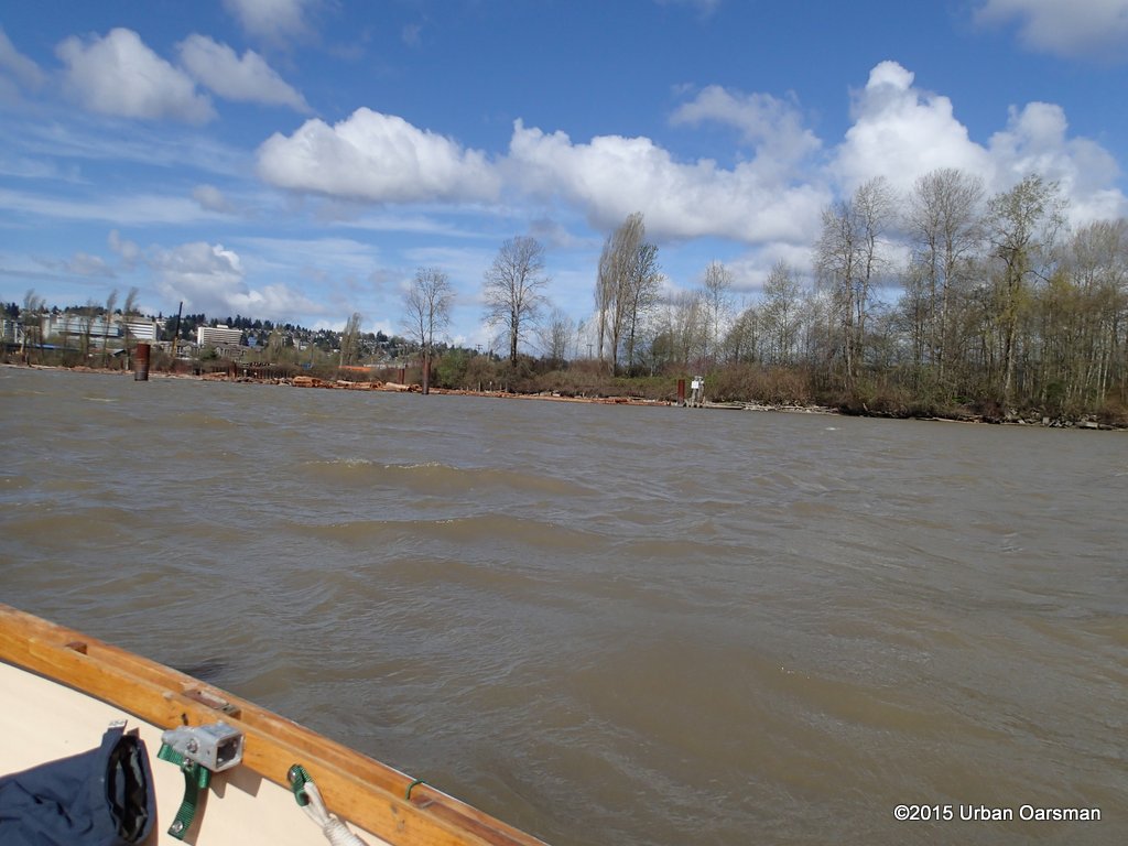 The more in the middle of the Fraser I am, the more I feel the wind and waves.
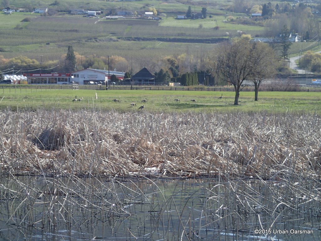
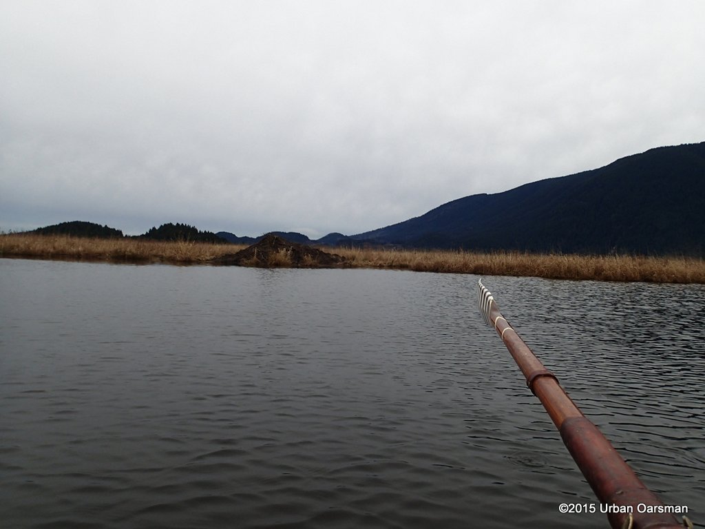
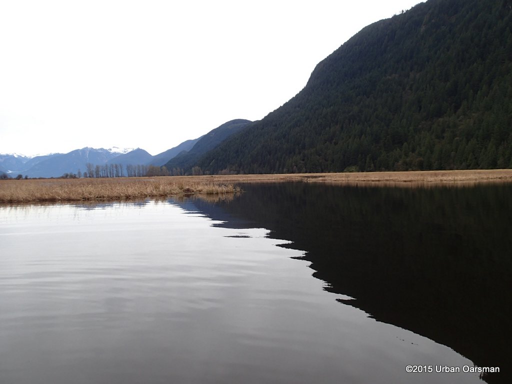
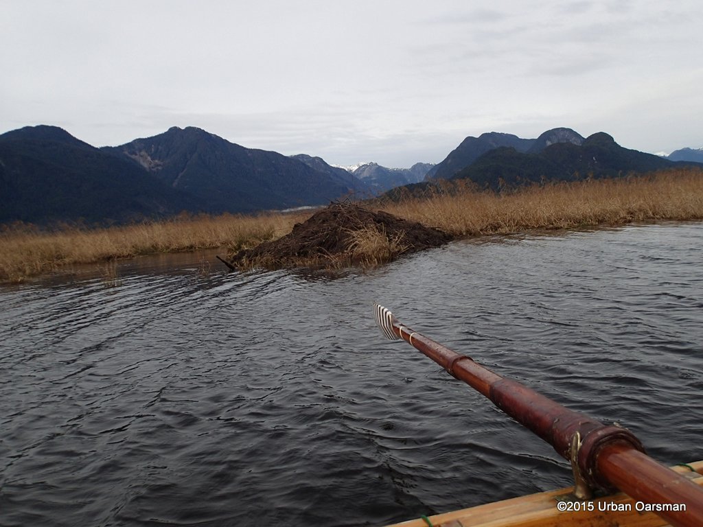
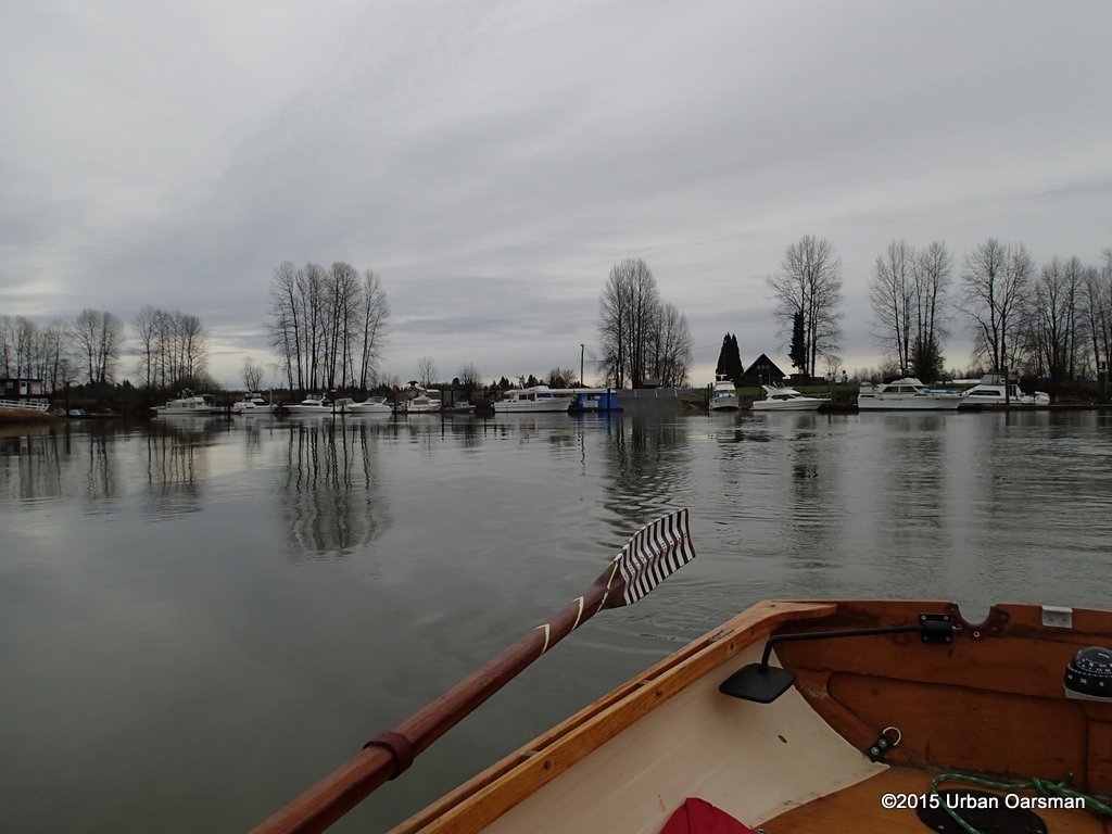
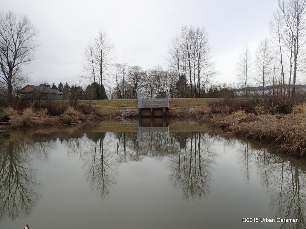
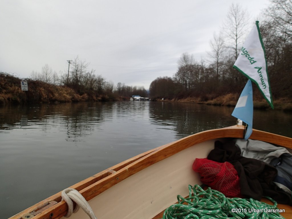
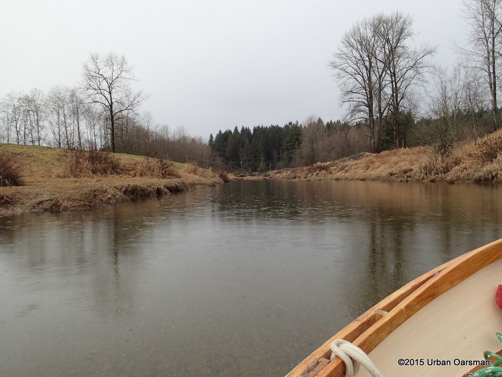
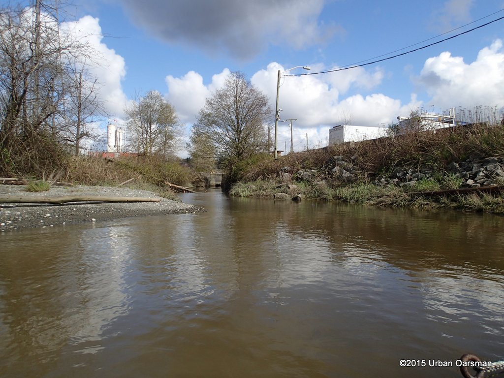
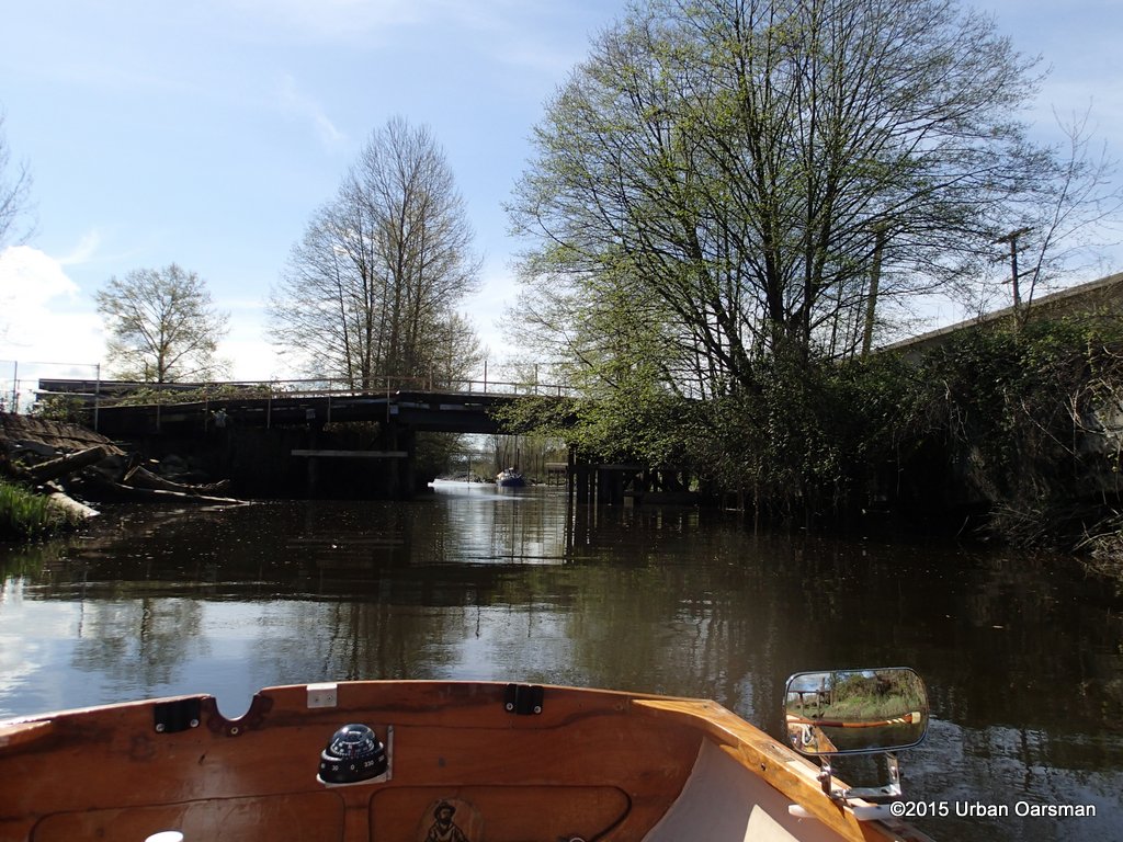
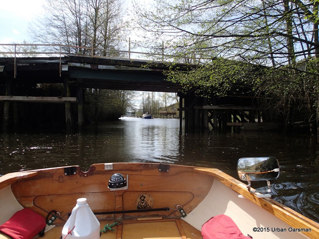
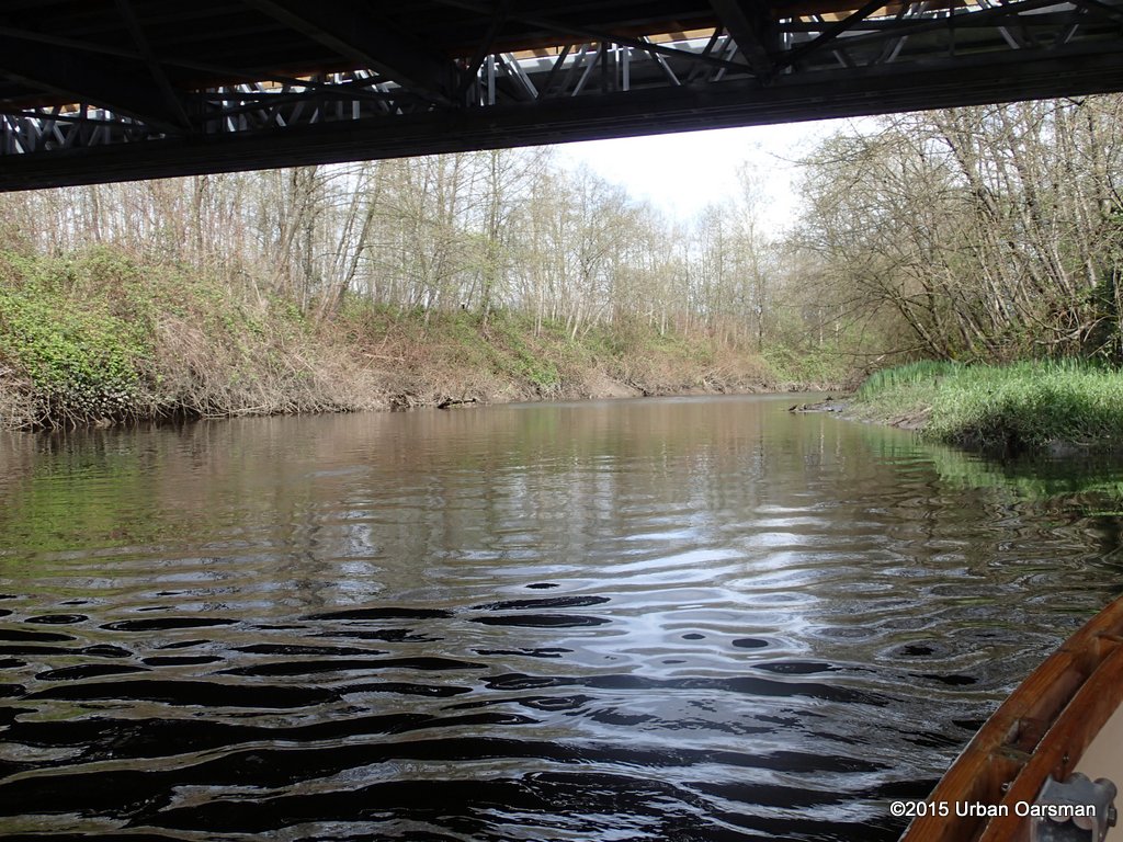
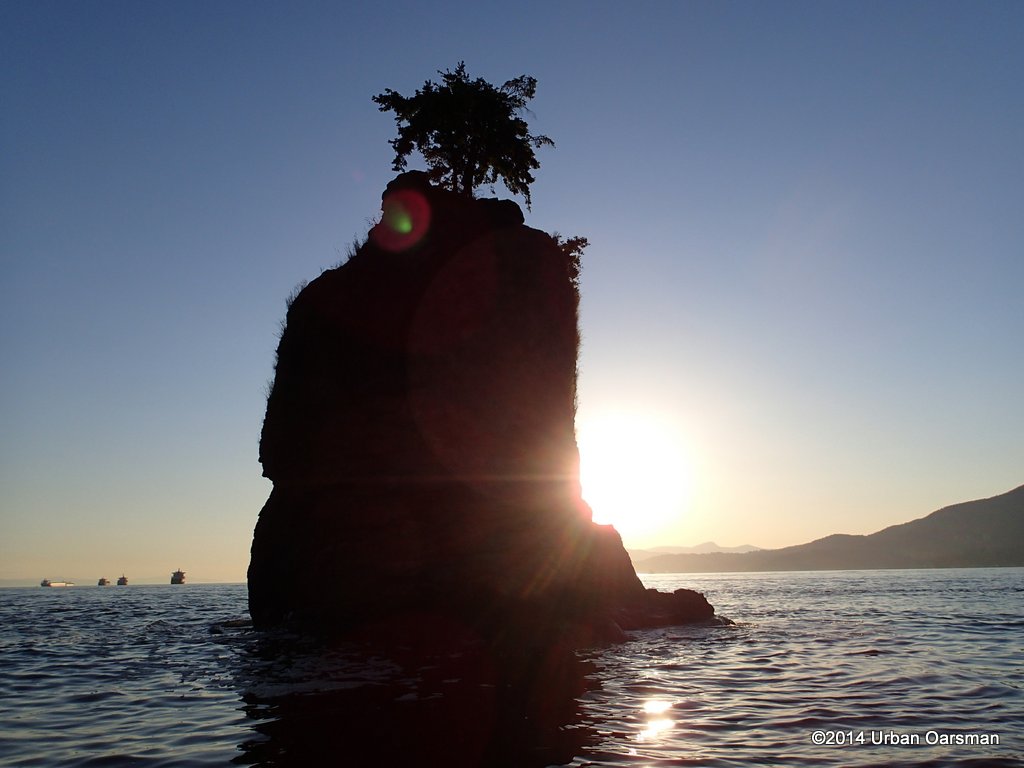
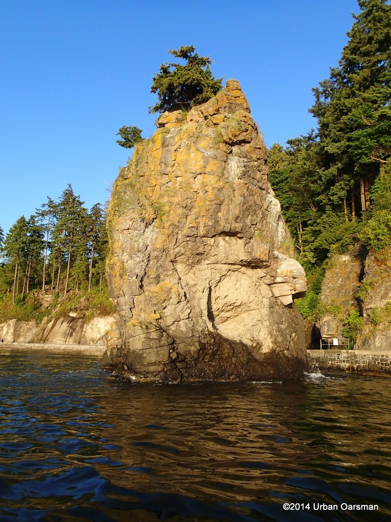
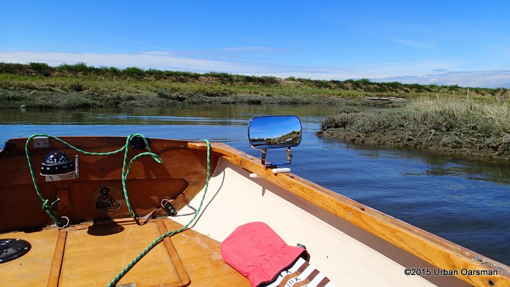
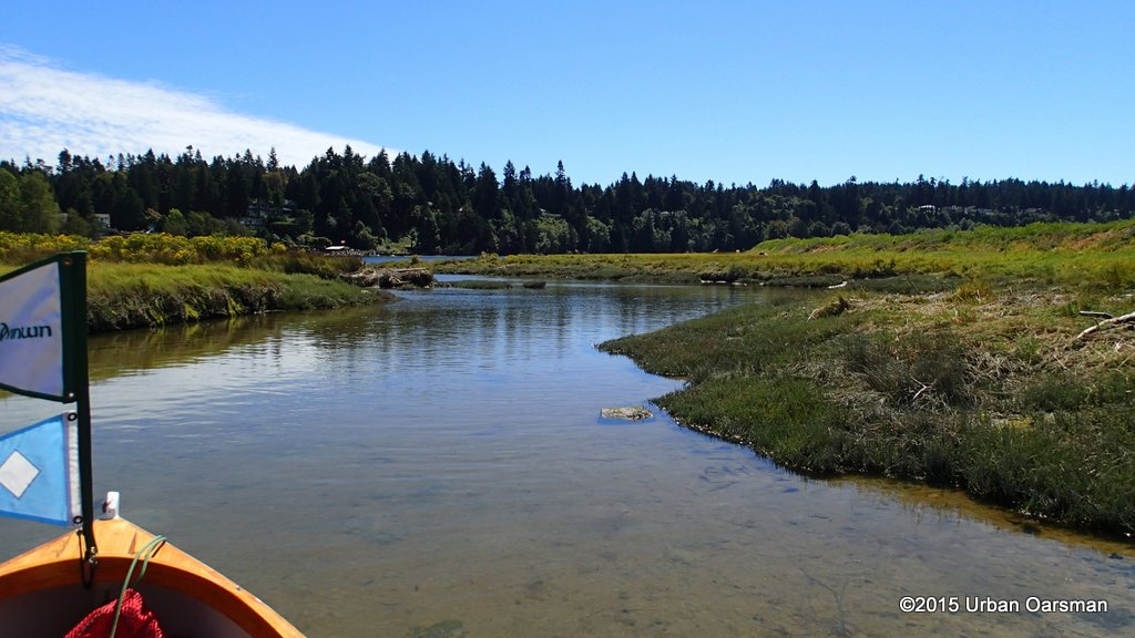
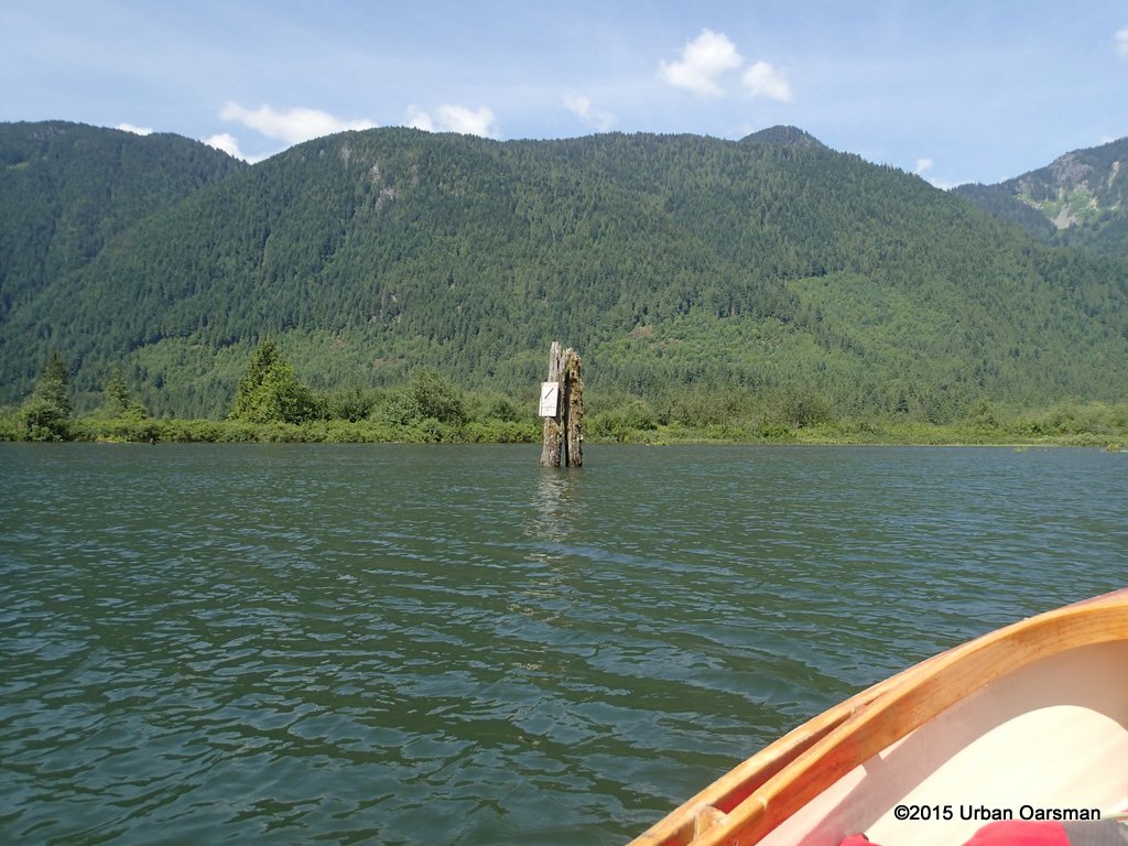
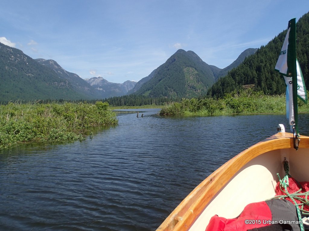
 One entrance to the Brunette. I row in. This is as far down river as I got in the Sapperton Channel Row of March 16th, 2015. Then the way was blocked by log booms.
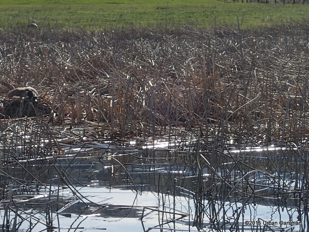
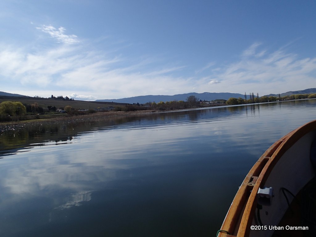
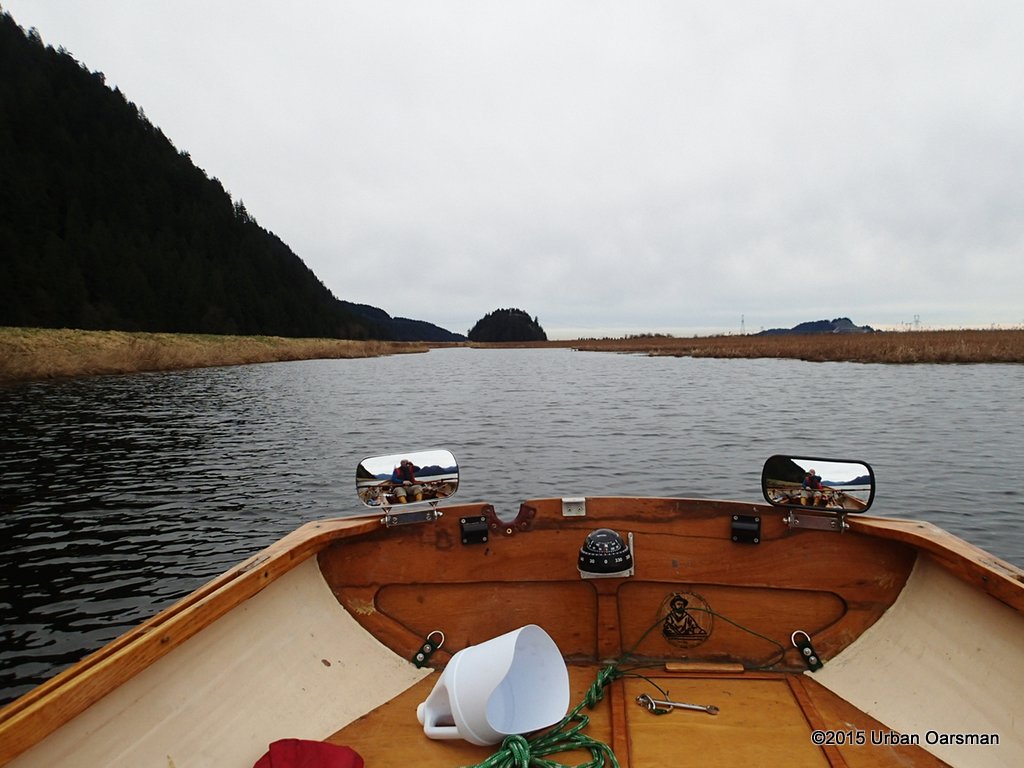
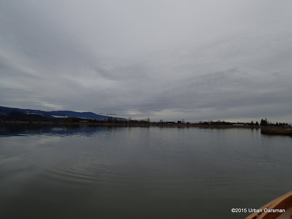
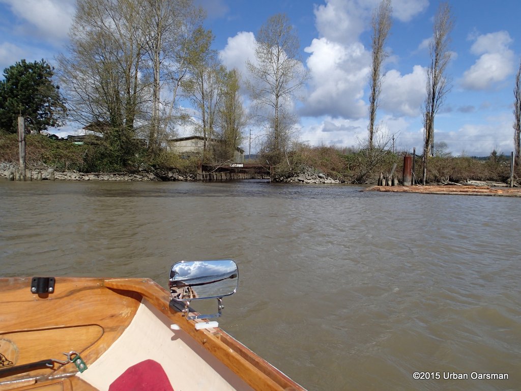
 The closer I row towards the river bank the more the wind and waves fade.
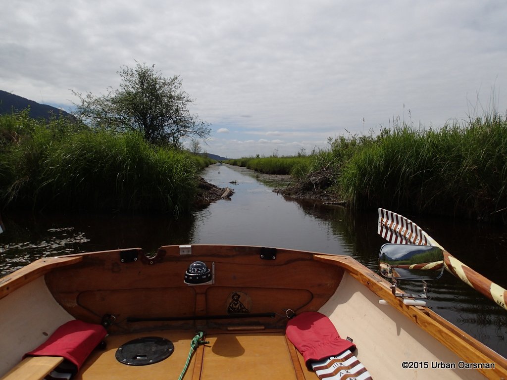
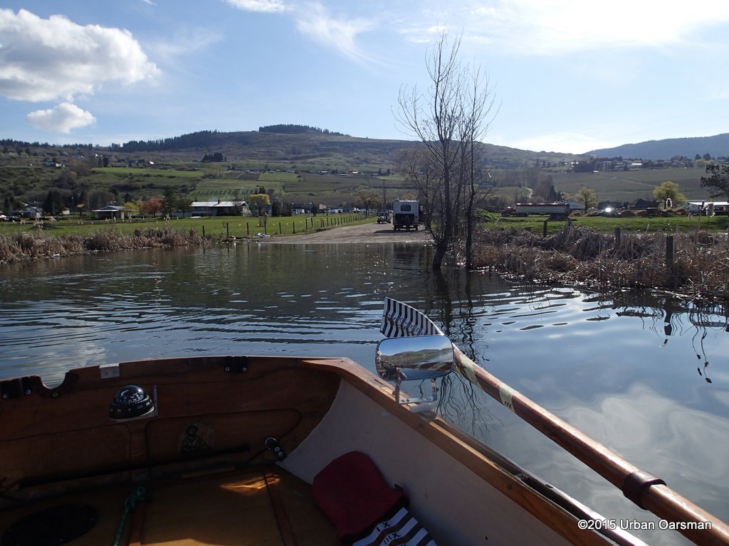
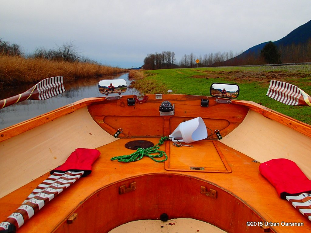
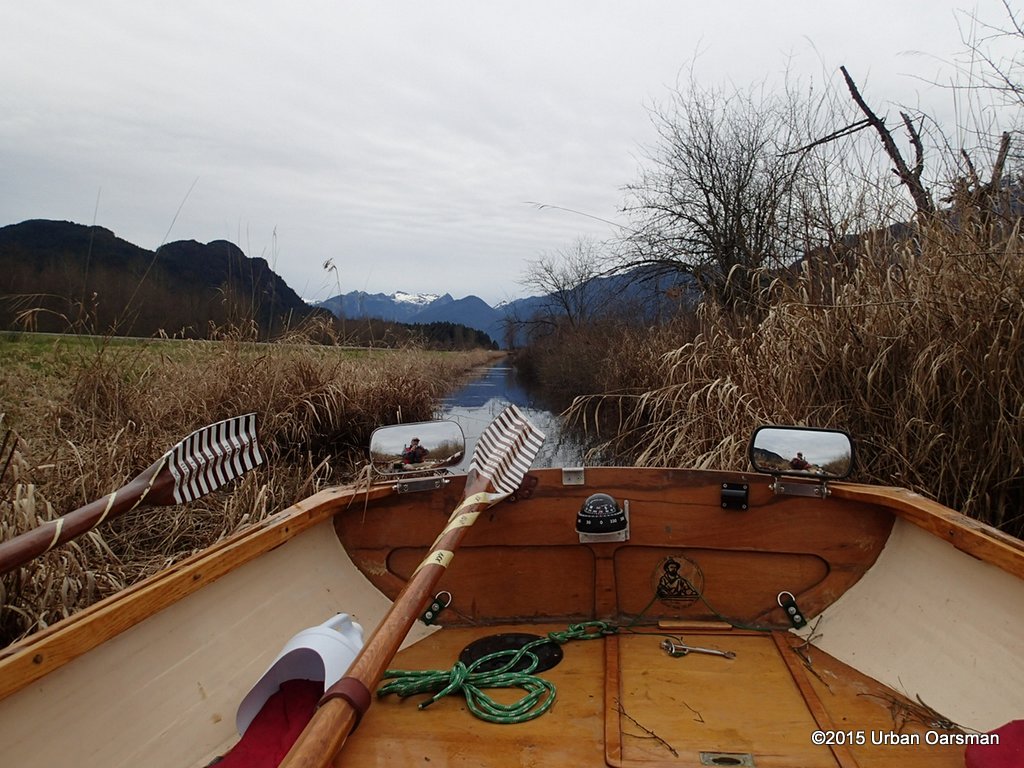
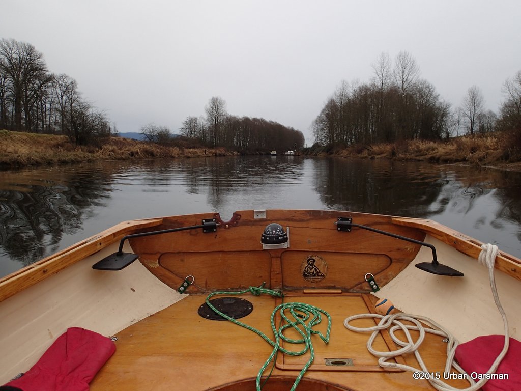
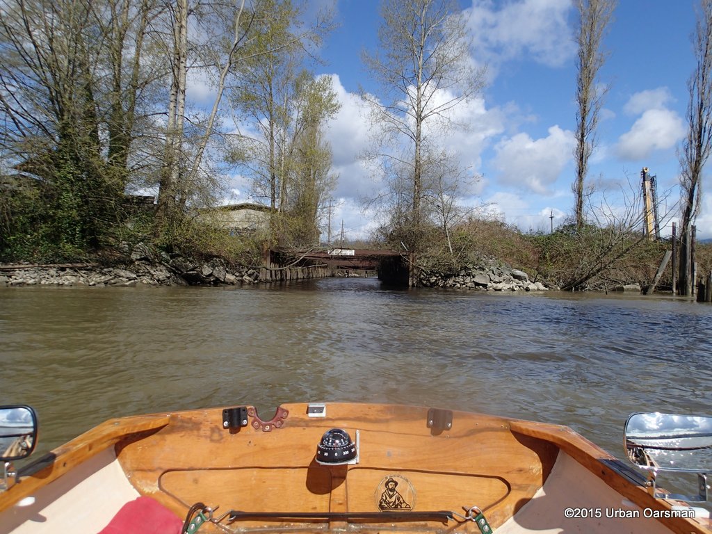
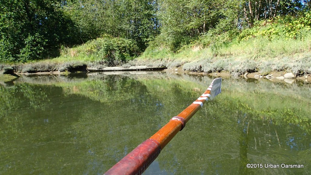
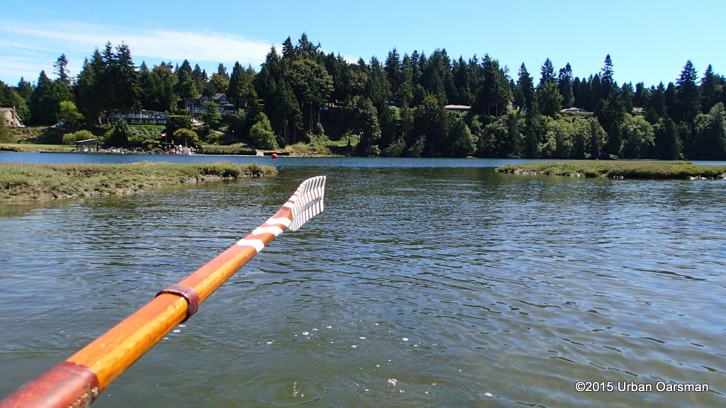
 For maximun visibility, I row backwards into the channel.
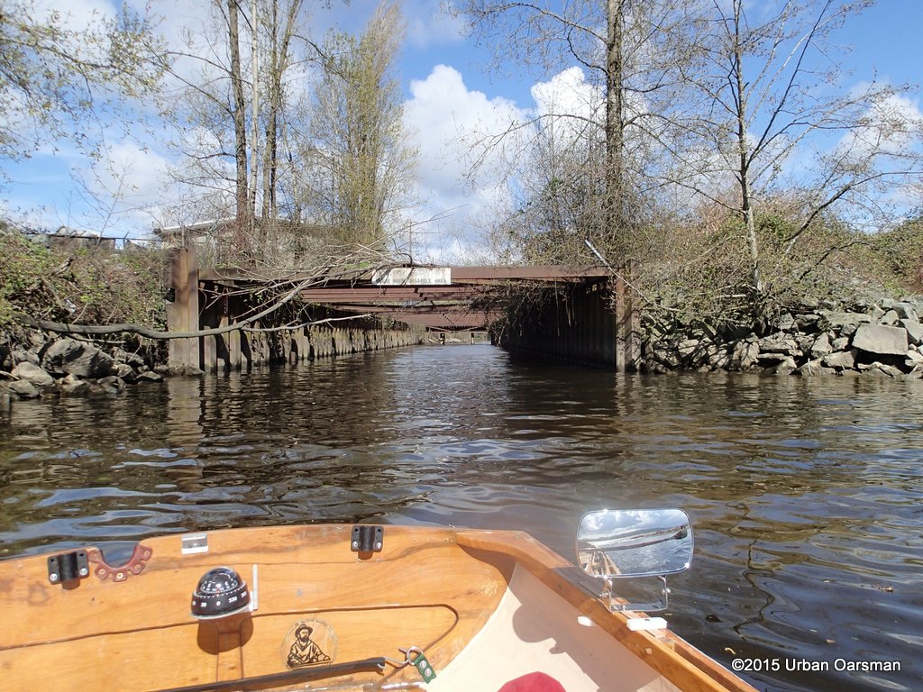
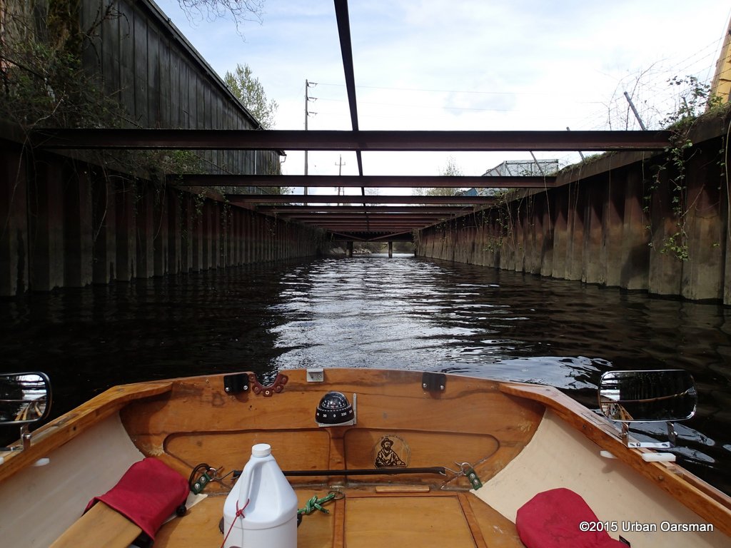
 The channel goes right through the middle of the old Canadian Forest Products site.
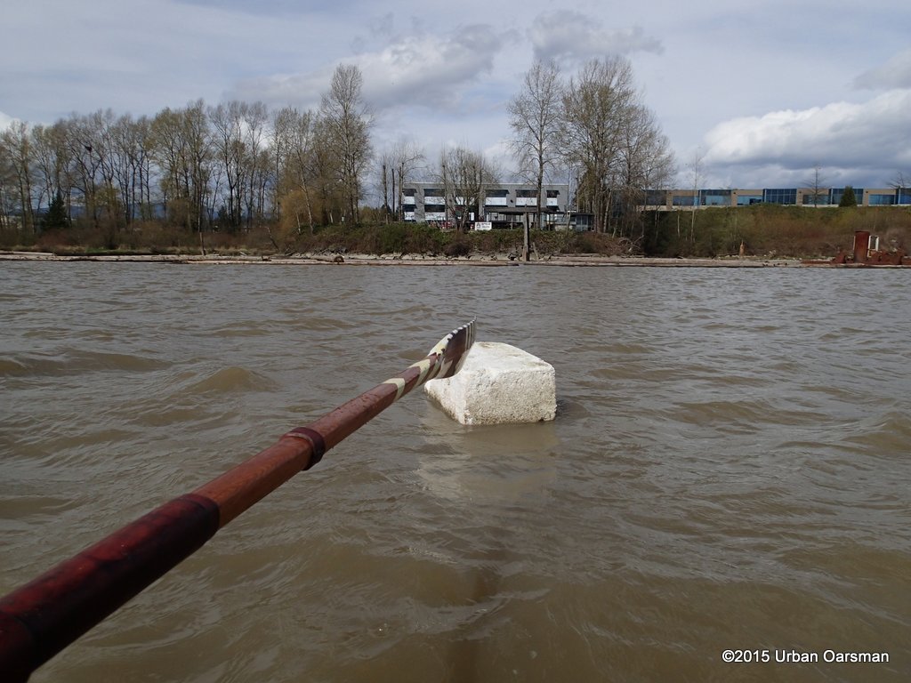
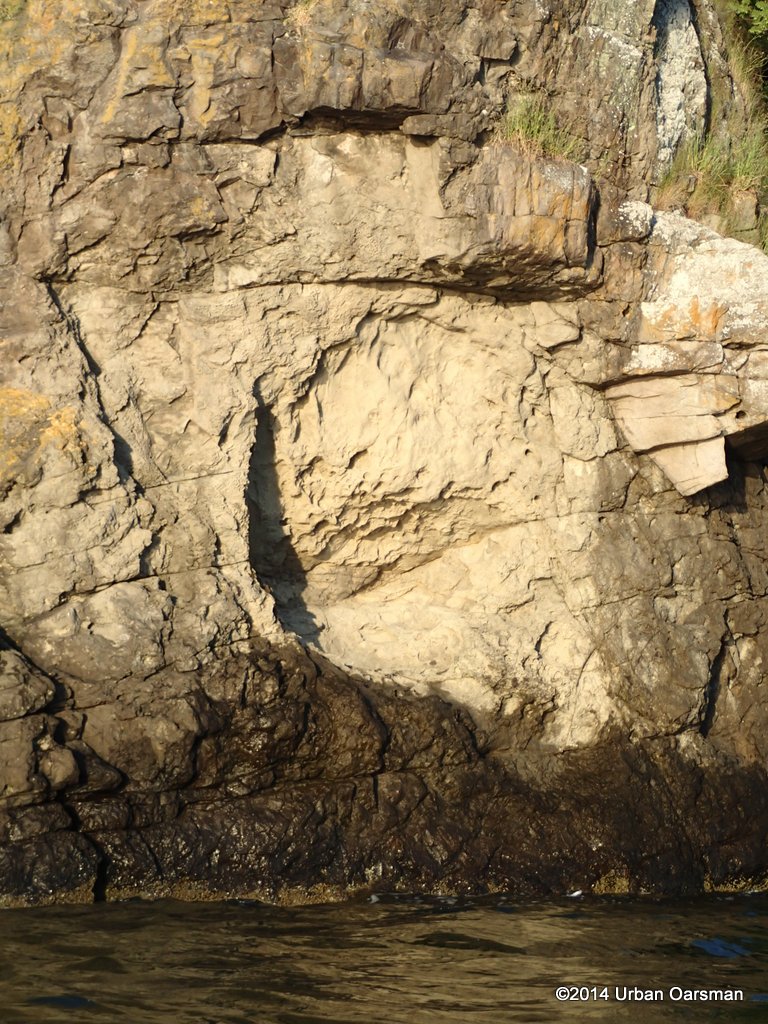
 I am on the lookout for loose rock.
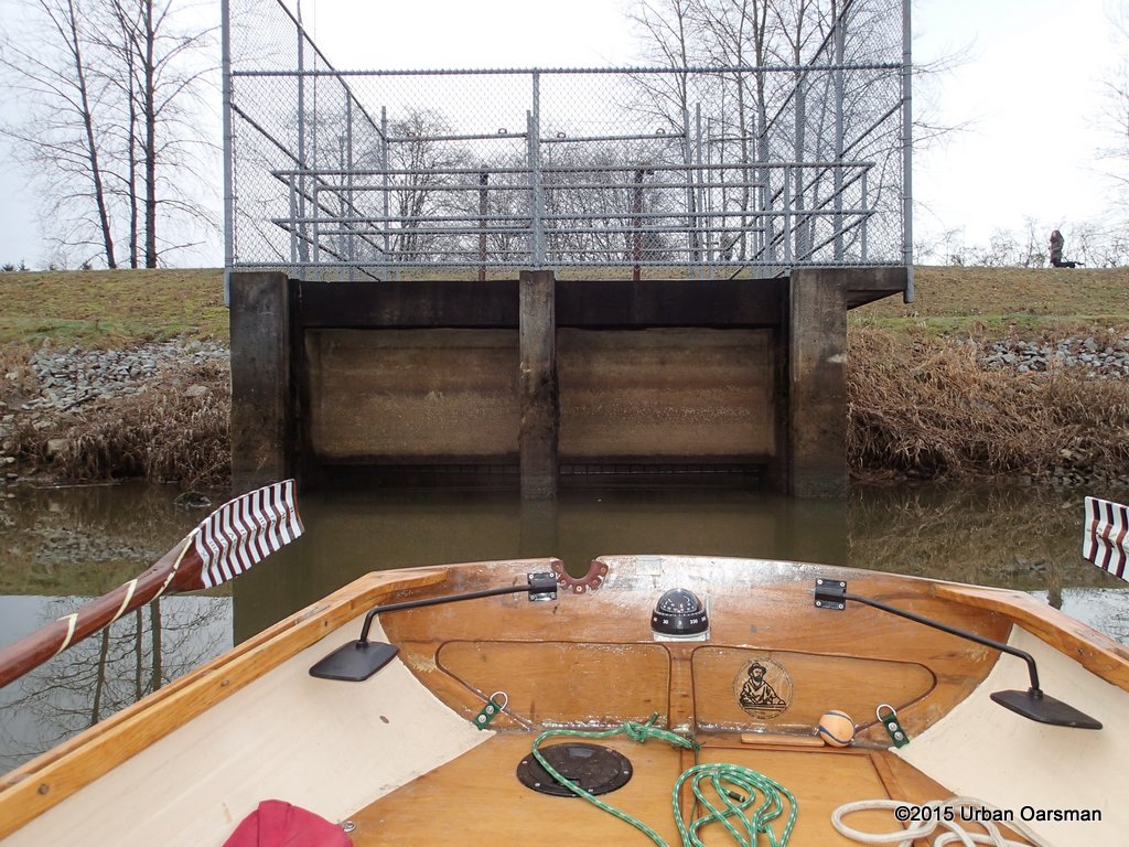
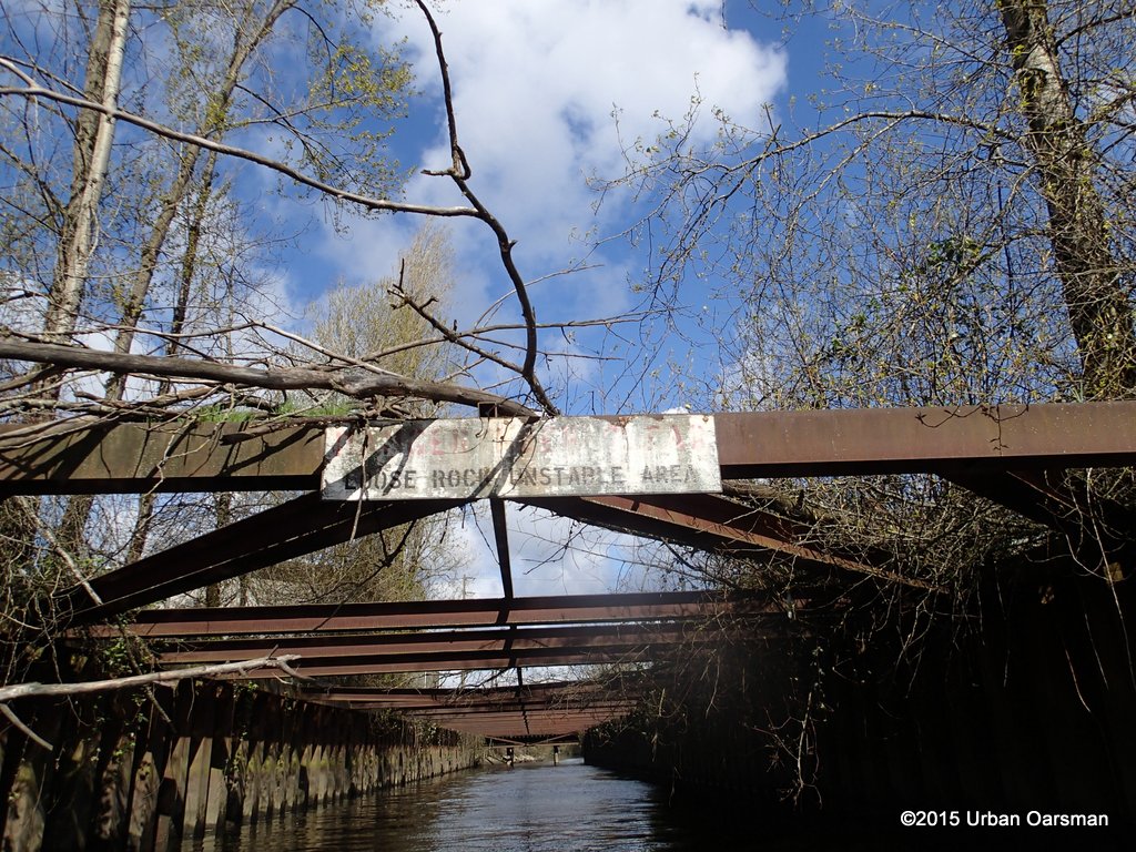
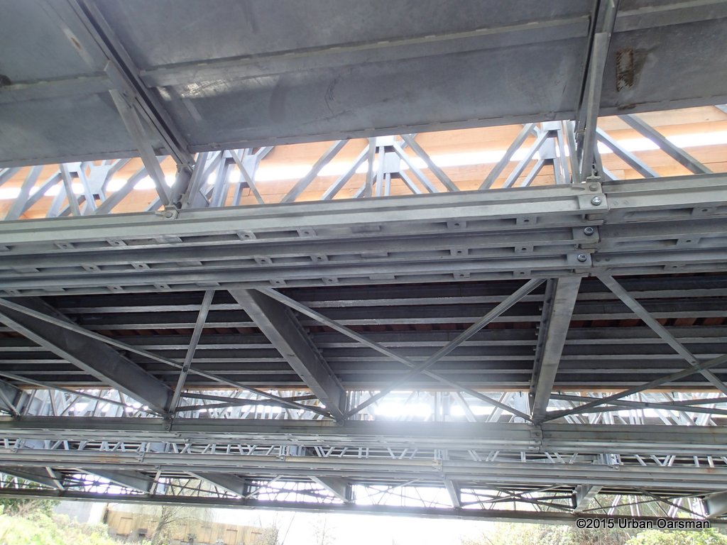
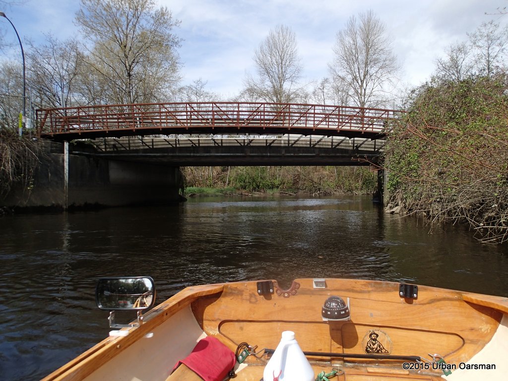
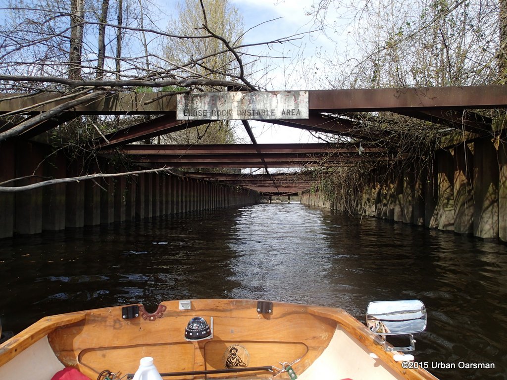
 Looking out (South) the way I came in. Why the steel I-beam girders?
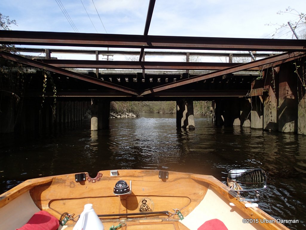
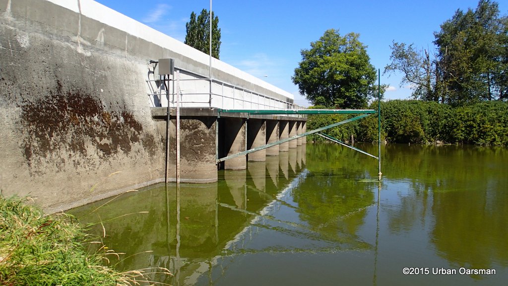
 Is it to hold the sides out? There is a gauge to the left (East) side. Once through this part, I turn Gwragedd Annwn around and row normally.
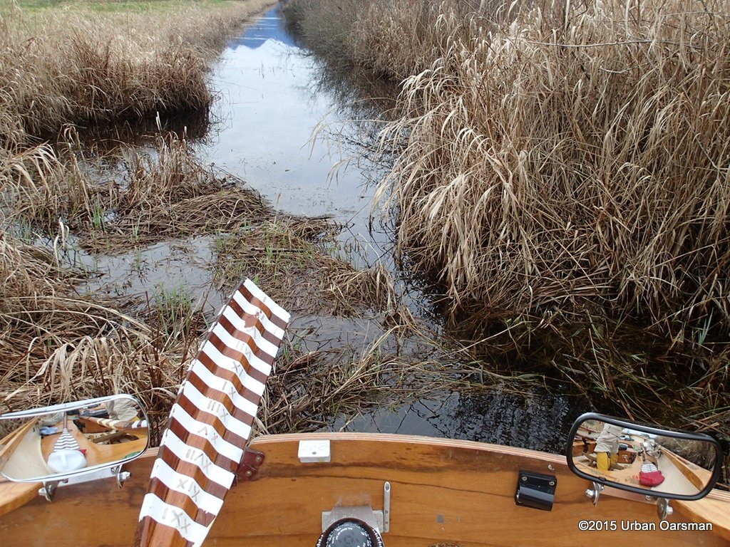
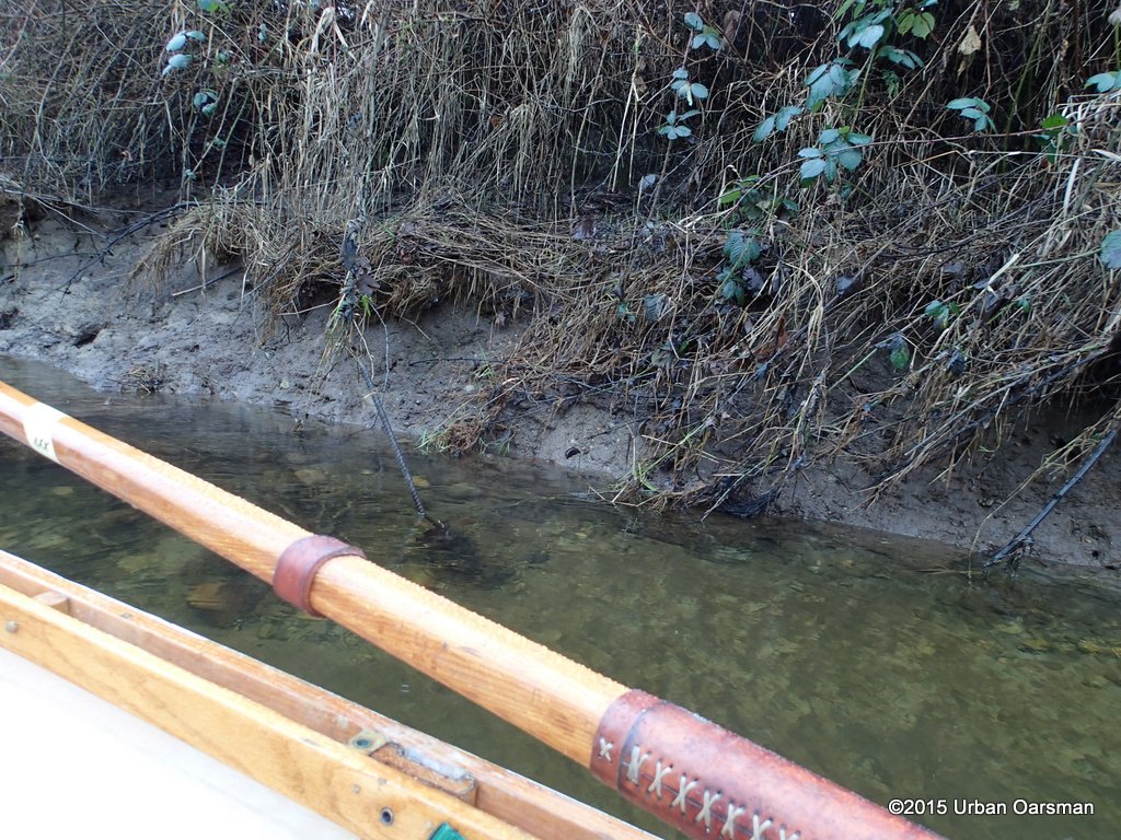
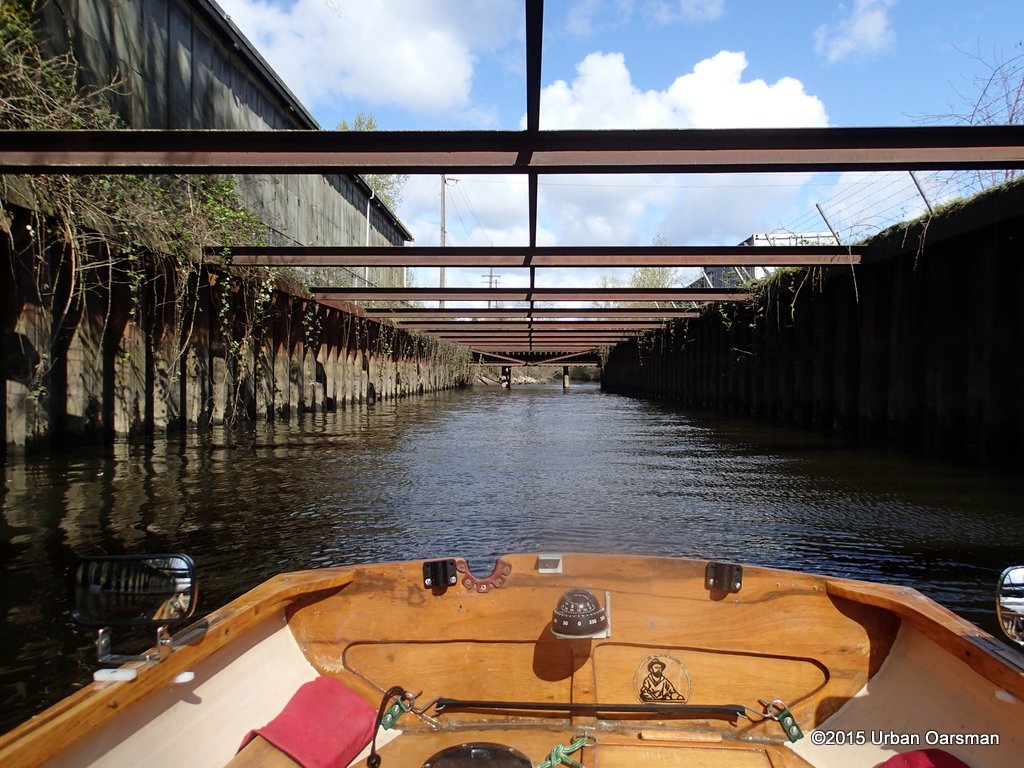
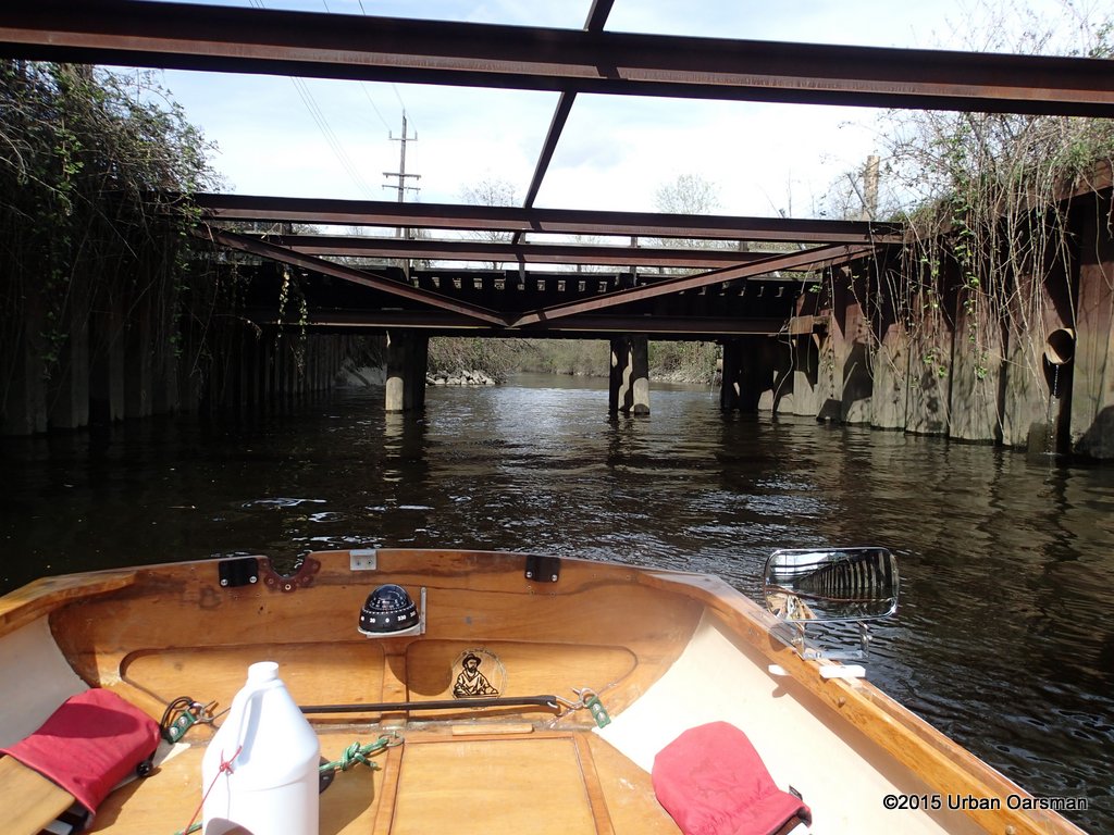
 The channel banks are now rocky. I see them.
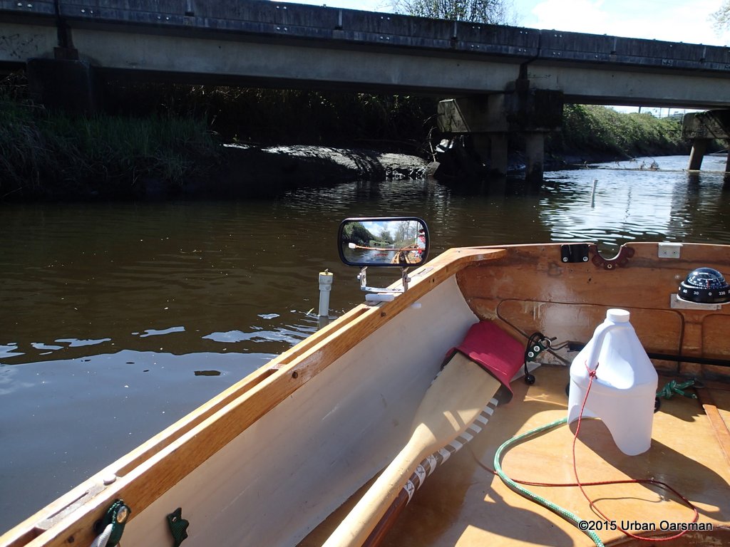
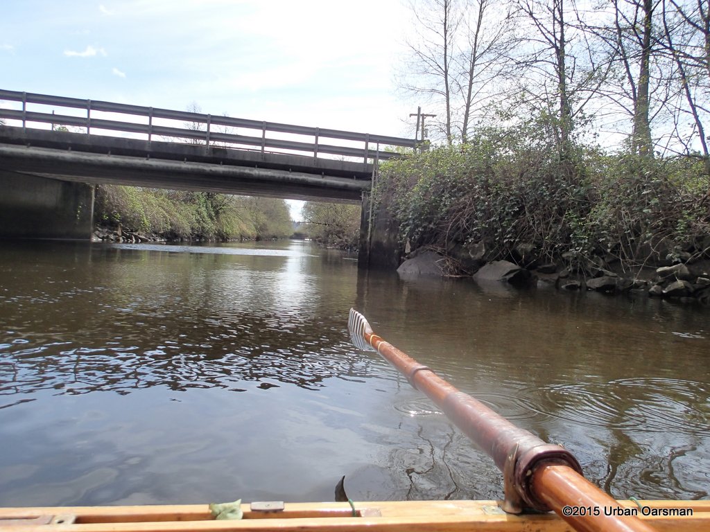
 I row on to the next bridge along the channel.
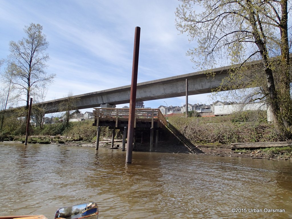
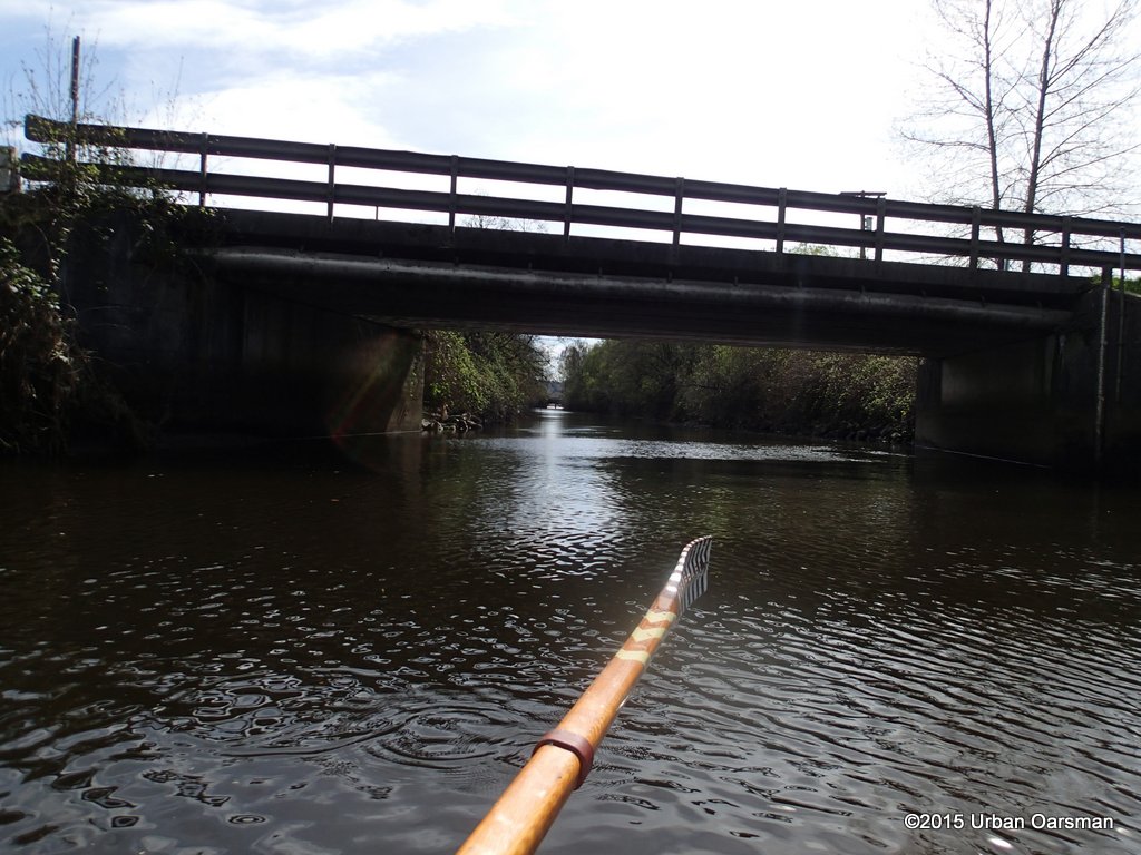
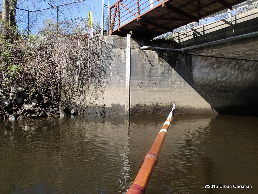 This is the Canfor Avenue Bridge. There is a gauge on the South-West side.
 There is another gauge on the North-West side of the Bridge. If you look at the top of the gauge, you will see that there are two sets of numbers. The 9 to 0 numbers on the long gauge and the smaller squares with the numbers 1 to 4 spaced 1 meter apart on the right. The gauge seems to read .7 meters. Enough depth for Gwragedd Annwn.
 I look to the right (East) up the Brunette, another Canfor Avenue Bridge in the distance.
 To the Left (West) the Brunette runs along Brunette and Columbia Avenue.
 For maximun visibility, I row backwards down the Brunette.
 Old tree fort. The river is tree lined on both banks with industrial land beyond.
 The Skytrain track is barely visible to the right (North).
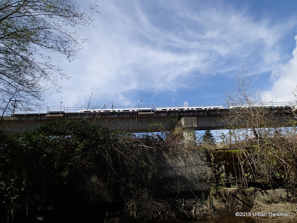
 A Skytrain passes by.
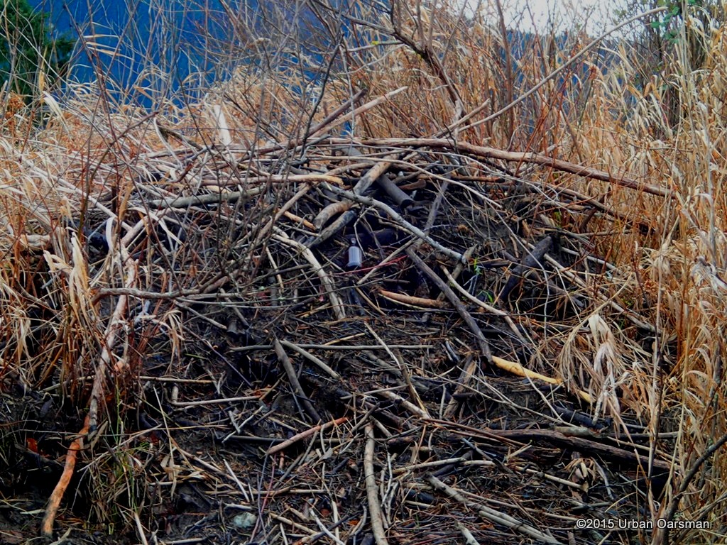
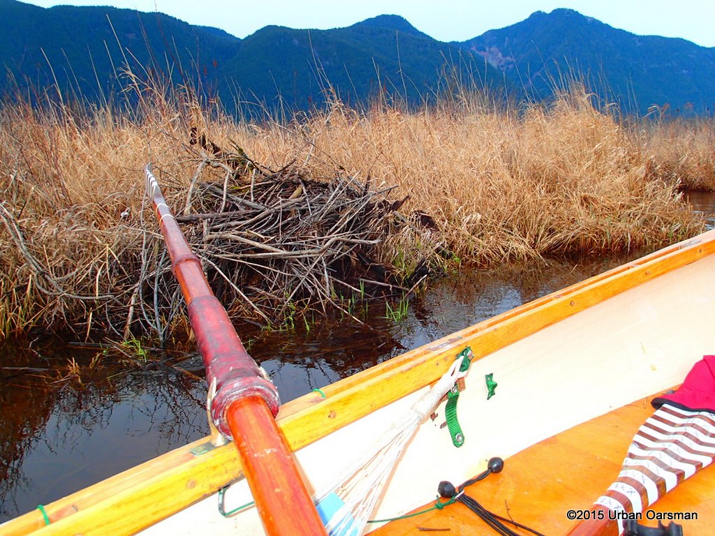
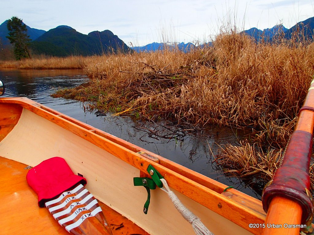
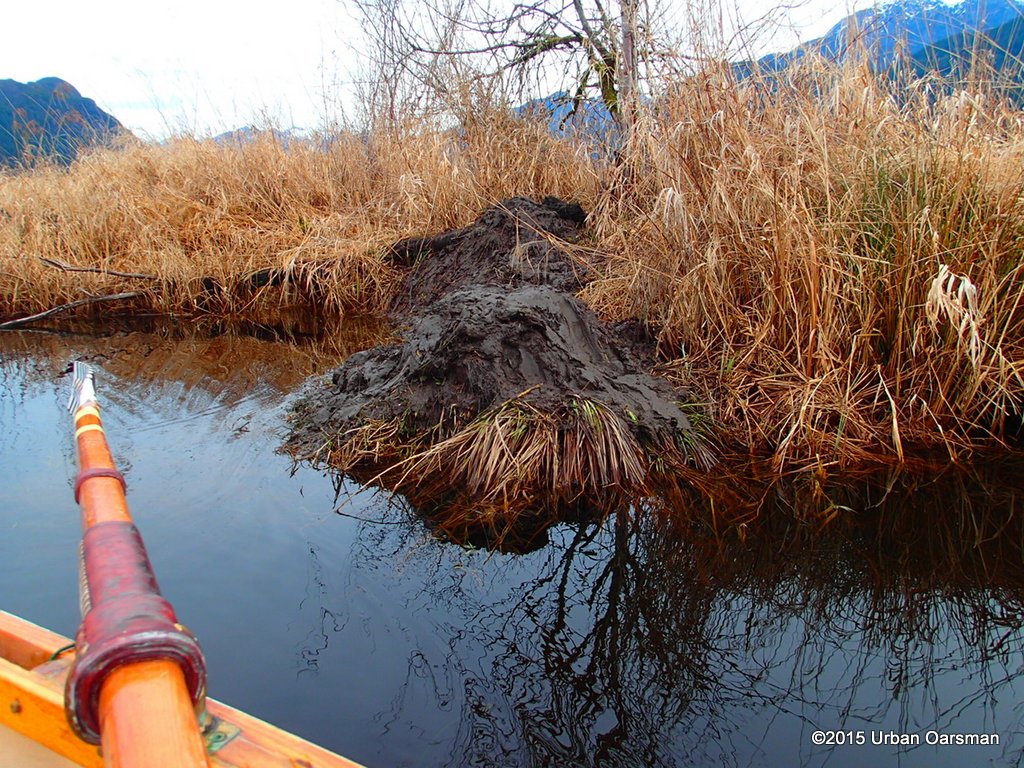
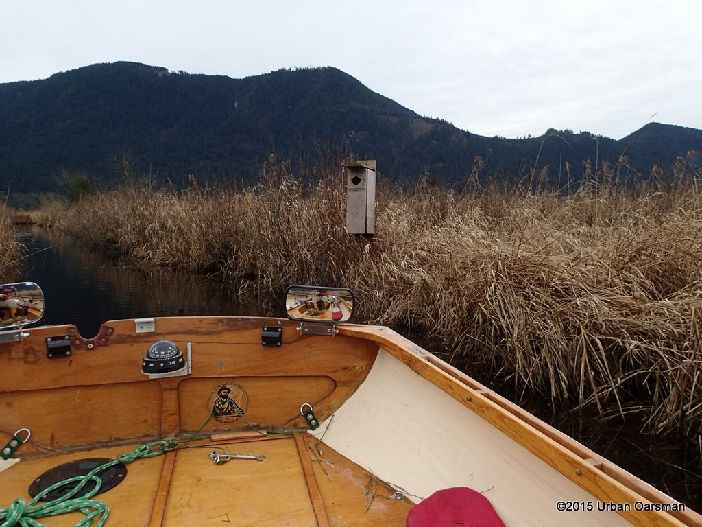
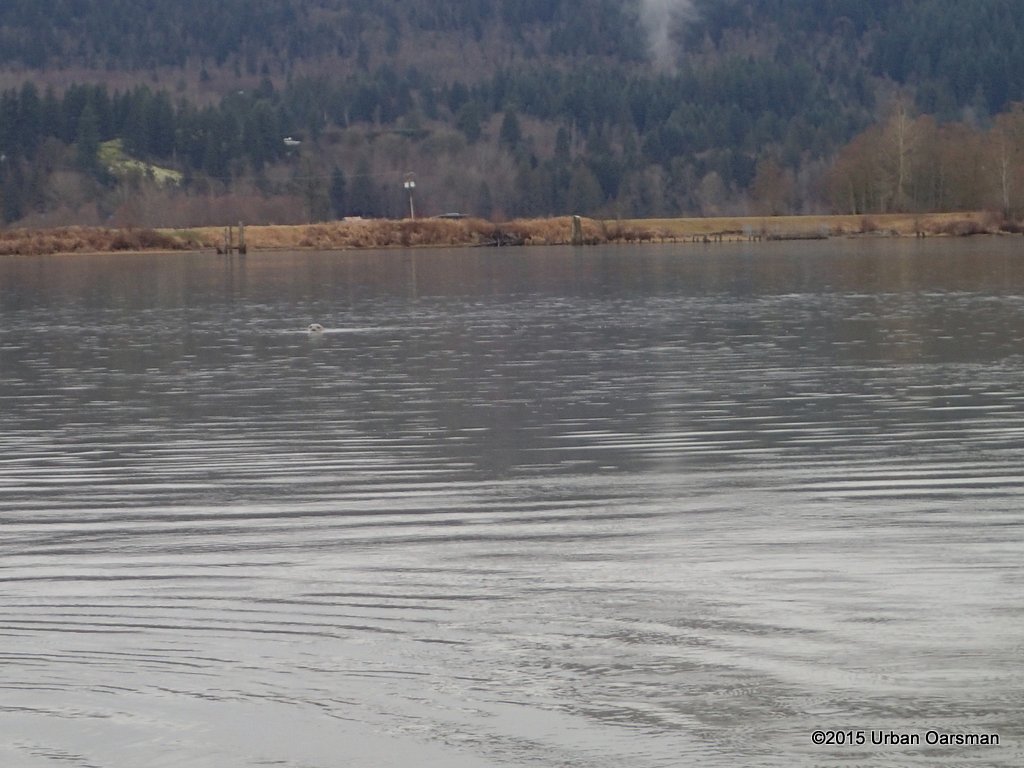
 A small creek enters from the North. Through the bushes, I spot a beaver dam. Pretty marginal habitat.
 Another stream enters from the North. Skytrain drainage?
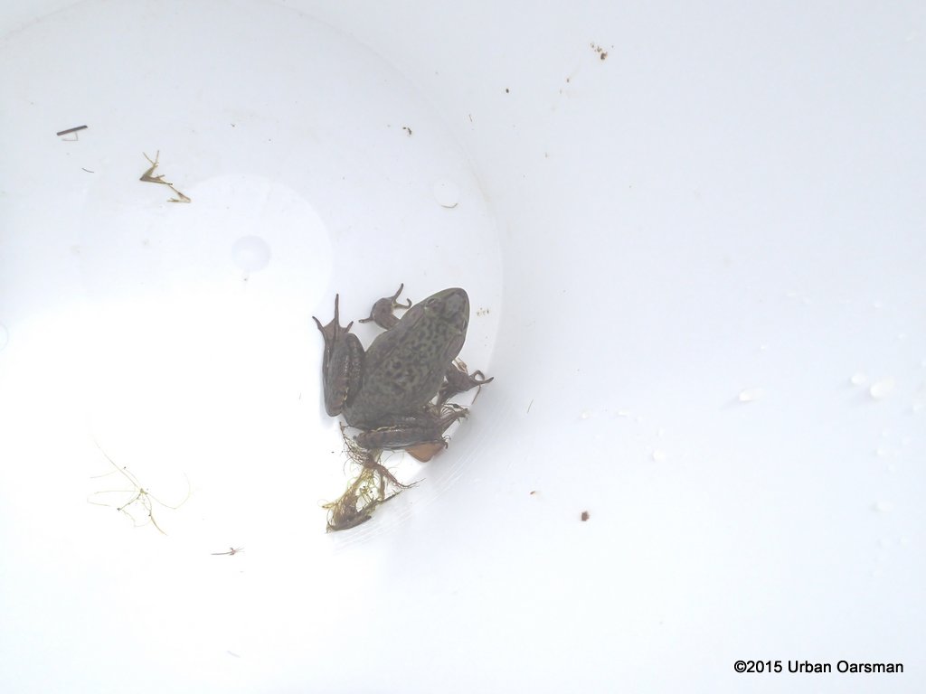
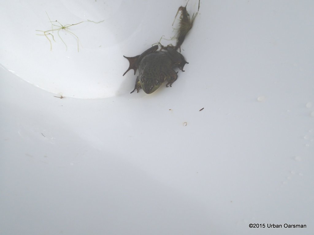
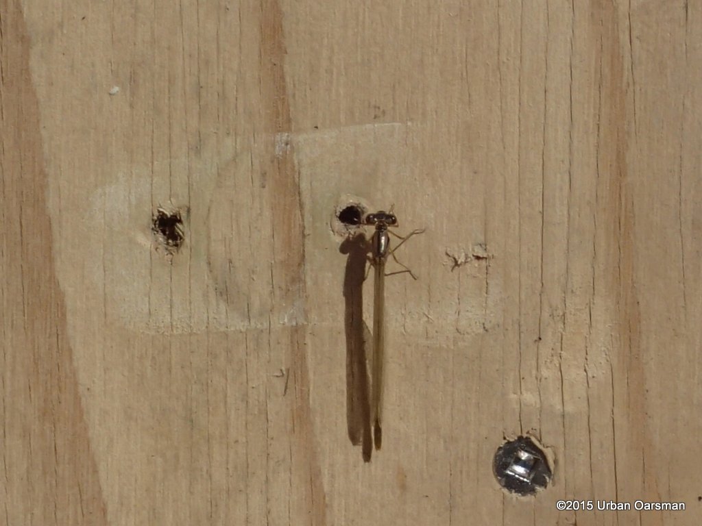
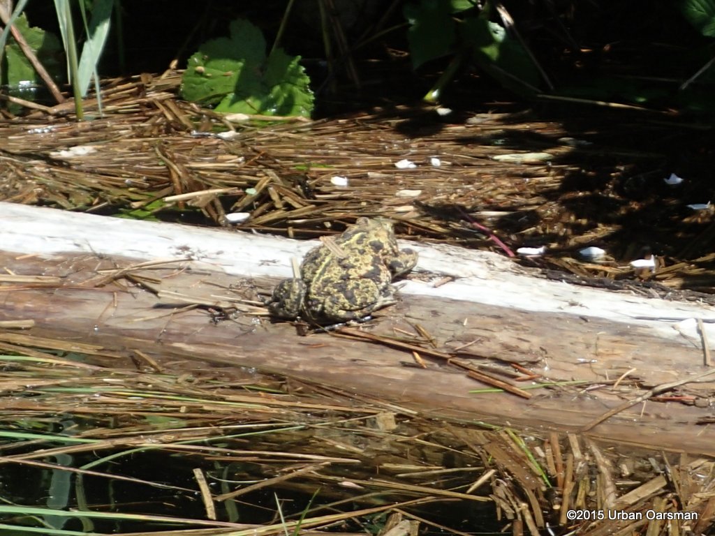
 A fishing lure stuck in a tree branch. People fish here?!?
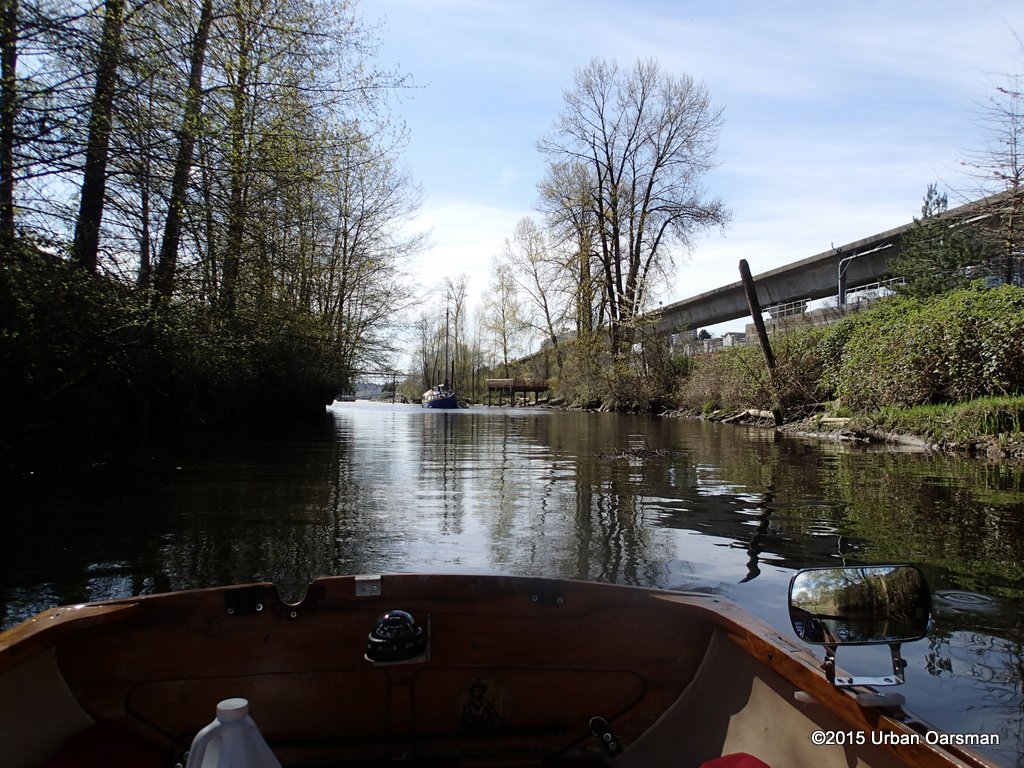
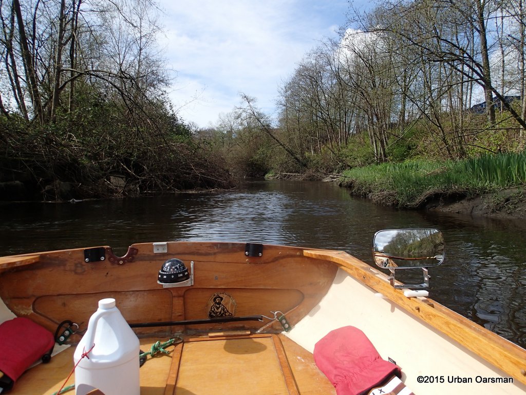
 I continue down the Brunette.
 There is not much current or wind here.
 Coming up to a railway bridge.
 There are a bunch of white plastic pipes stuck in the river bed. I do not know what for.
 I maneuver around the pipes. You can see the current washing against them.
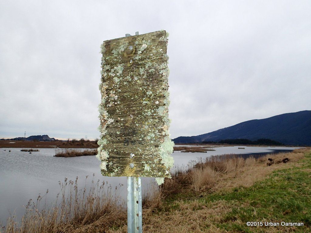
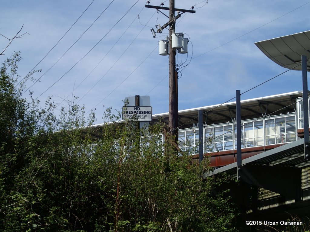 Sign in front of the Skytrain station. You cannot get there from here.
 West side of the railway bridge looking North at the Skytrain station.
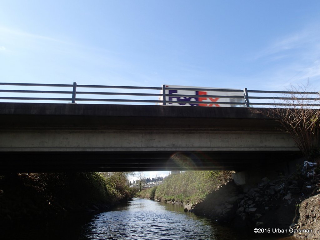 FedEx truck on the Spruce Street Bridge.
 Going under the Spruce Street Bridge.
 The next bridge is unnamed.
 I sis not see any traffic while I rowed here.
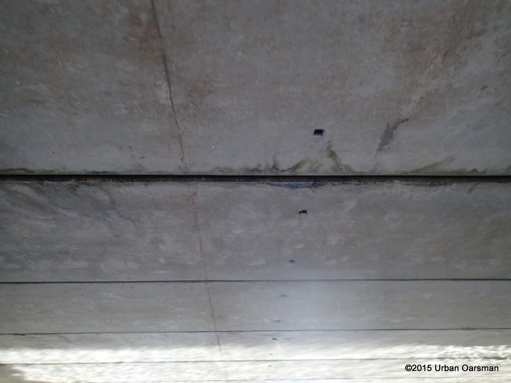 Shadow patterns on the underside.
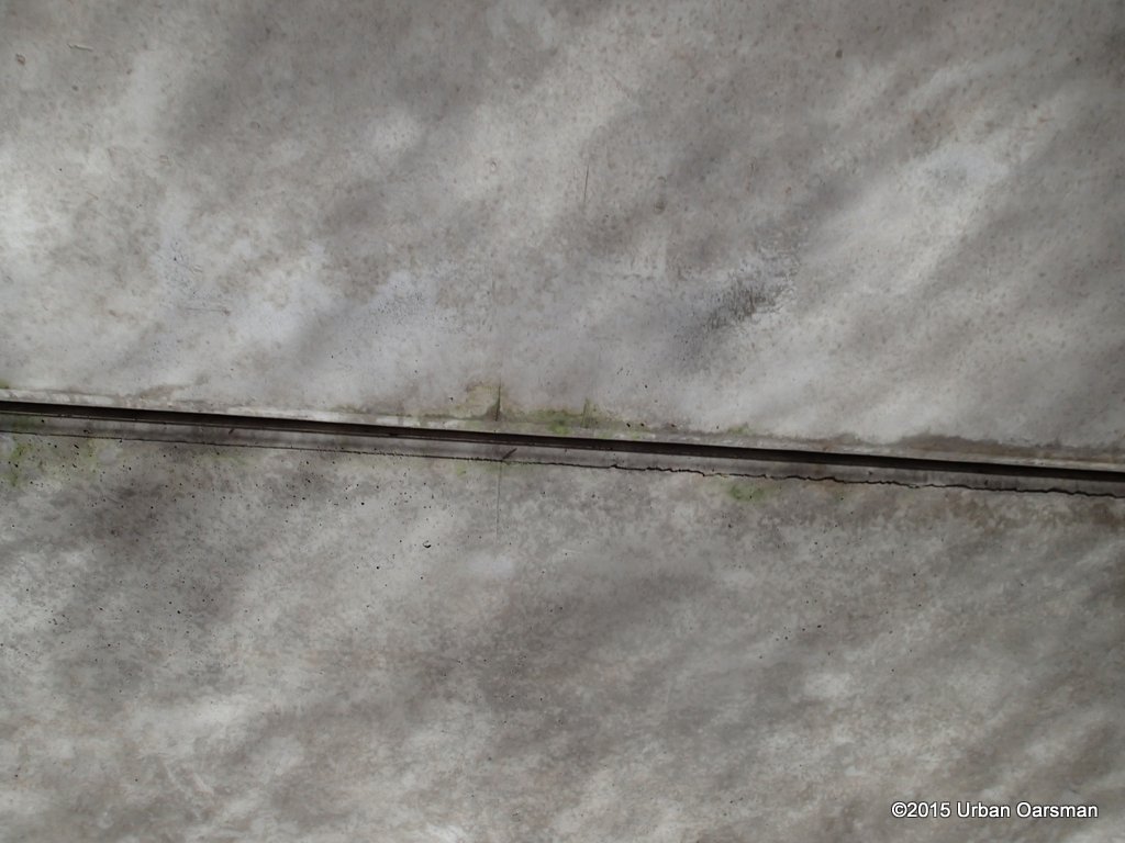 More shadow patterns.
 Unnamed pipe crossing.
 I see an anchored boat past the Cumberland Street (?) Bridge.
 The Skytrain line runs parallel to the Brunette River.
 Coming up to the bridge.
 There is a pier where the Brunette enters the Fraser.
 The boat anchored here is the Tuesday Sunrise built and owned by Randy van Eyk.
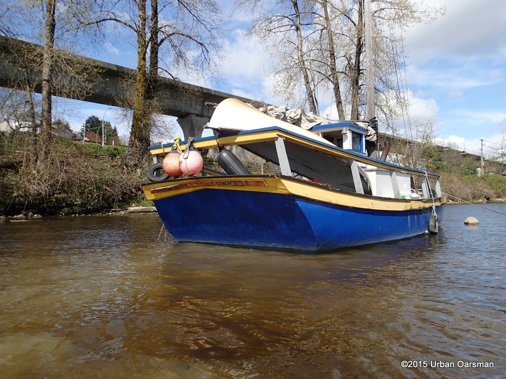 I had a nice chat with him, he built the boat in 1987. He is now waiting for engine parts to arrive. He has been anchored here for a while. Google Earth picture of July 14th, 2014 shows his boat:
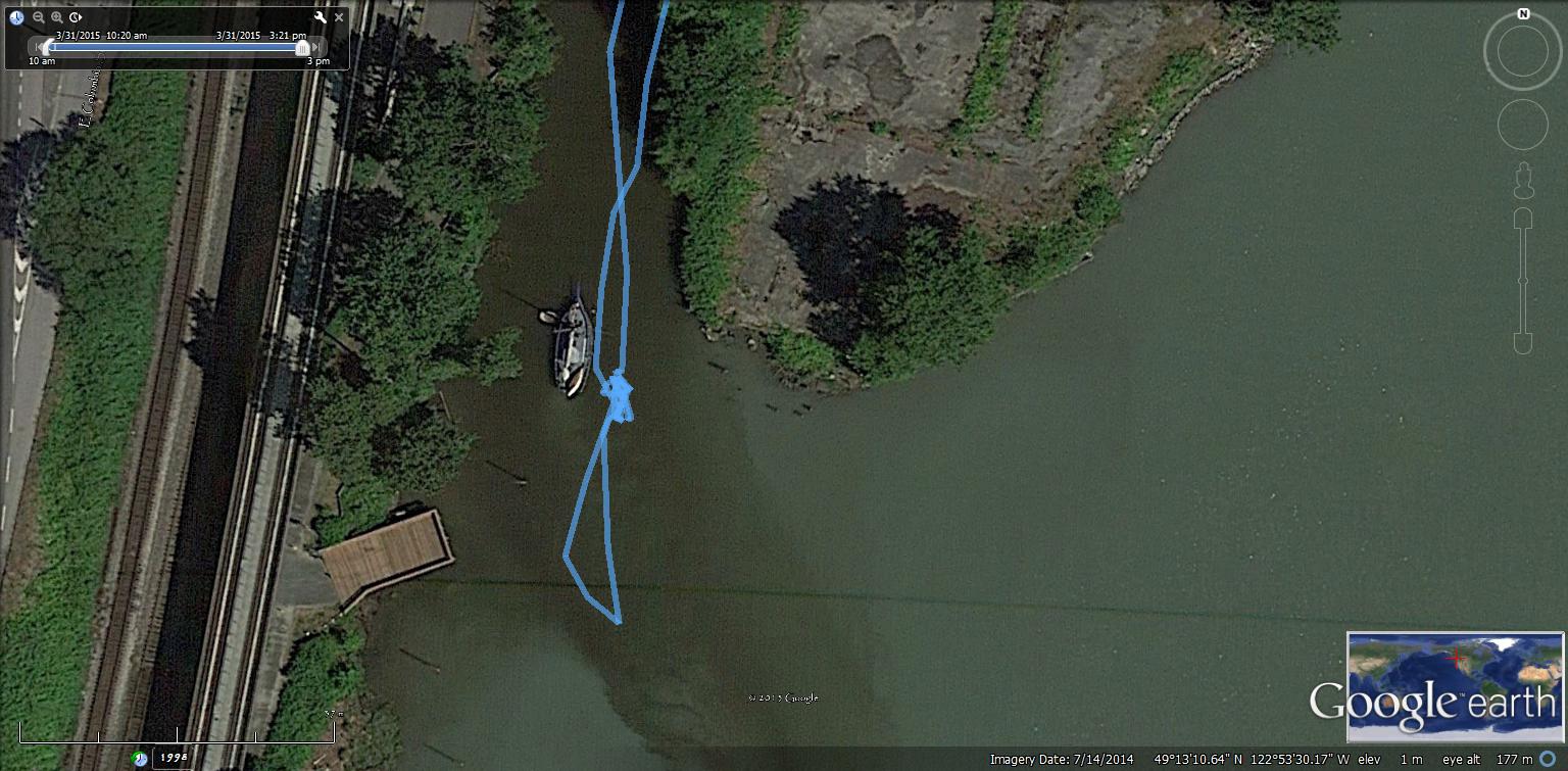 Randy is a member of the BC Nautical Resident Association. Their website is: www.bcnr.org
The BCNR’s mission statement is to:
1. Preserve and support the tradition of living aboard one’s vessel;
2. Promote environmental awareness among liveaboards;
3. Establish effective communications and resolve issues of concern to liveaboards;
4. Serve as a voice for liveaboards regarding activities that affect BC waterways;
With a mandate to liaise with community and government groups regarding development and activities that affect BC waterways and the people who live upon them.
Randy seemed like a nice guy. I wish him and the BCNR well.
 The pier where the Brunette enters the Fraser.
 I stick my nose out to check conditions. Looking East in this photo.
 Looking South here.
 South-West towards the Pattullo Bridge.
 Pattullo Bridge, Sapperton Landing park.
 I decide that it is too windy to row up the Fraser, so I row back up the Brunette. Let us see how far up I can get.
 I leave Randy van Eyk and the Tuesday Sunrise behind.
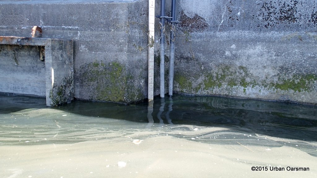
 Another gauge. It does not seem as if the gauges are cordinated together. I can just make out the numbers 8, 9 & 0; maybe the number 1 at the top.
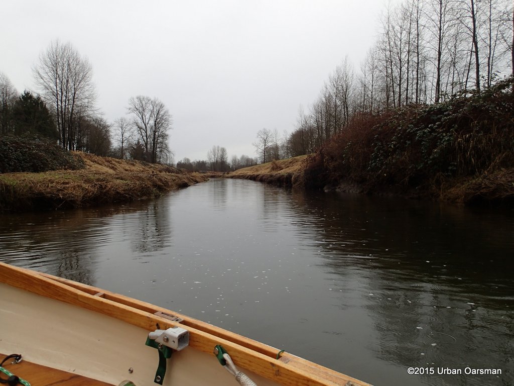
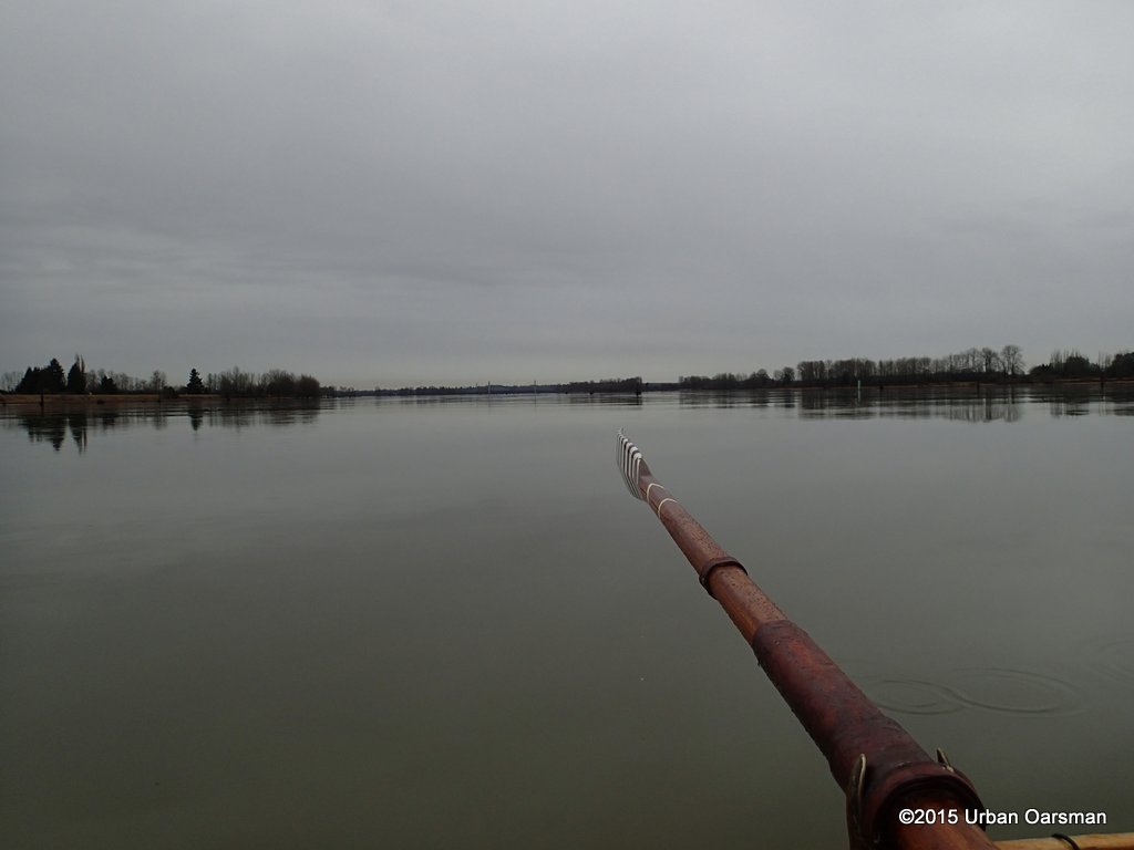
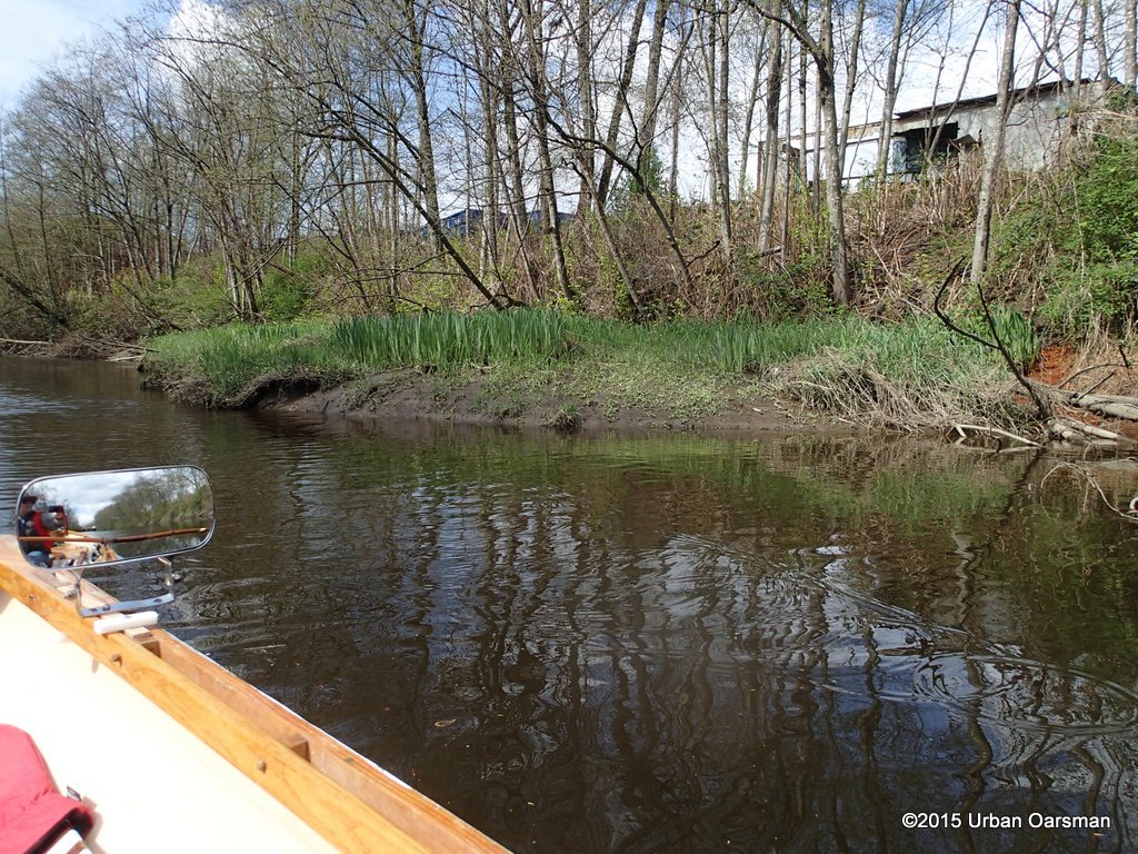
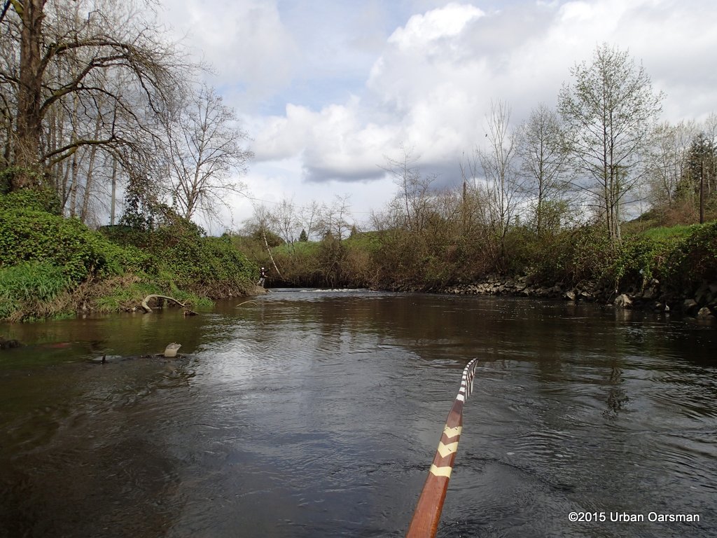
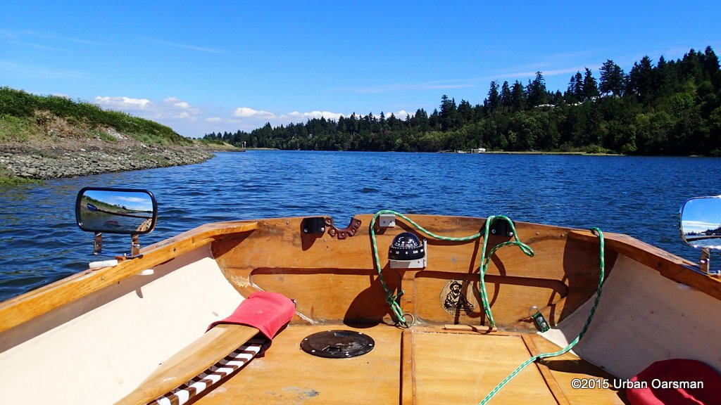
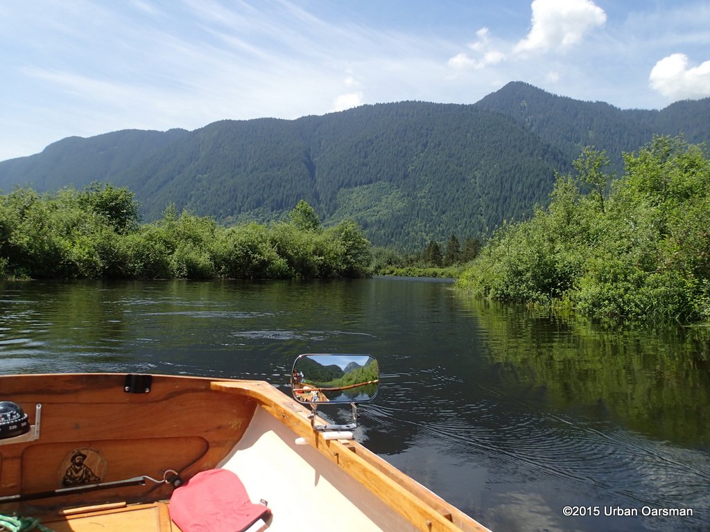
 No wind and little current. Nice rowing here.
 Back at the Canfor Avenue Bridge junction. I am looking East, up the Brunette.
 Looking down the “Through the middle of the old Canadian Forest Products site”, to the Fraser, fork.
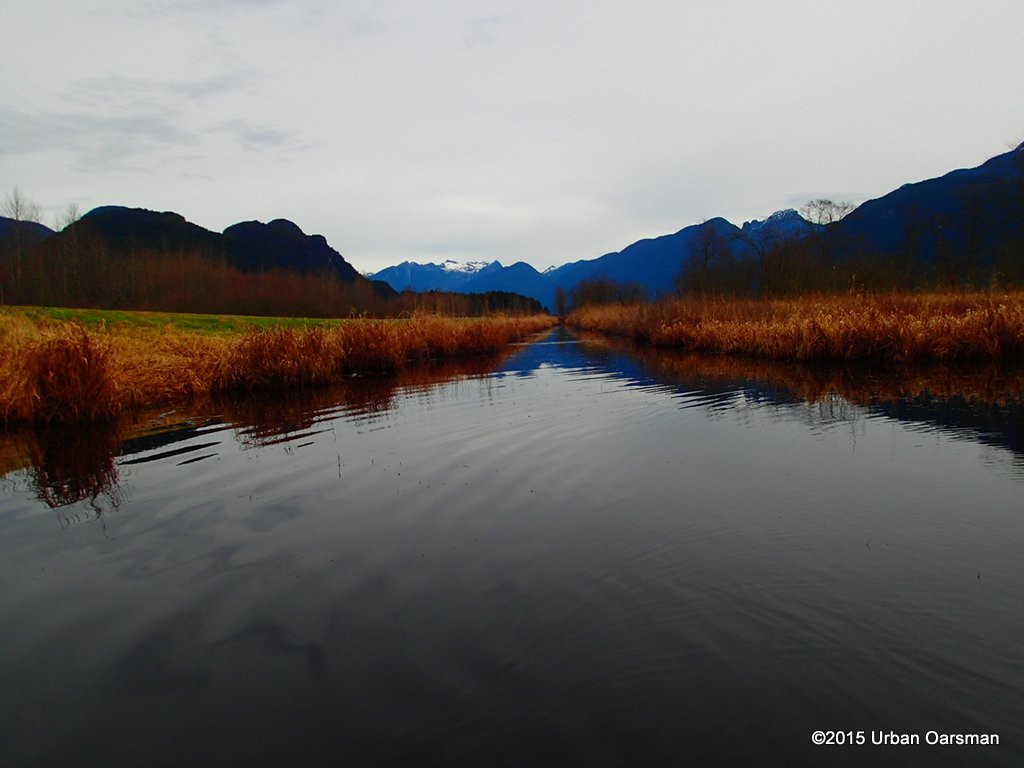
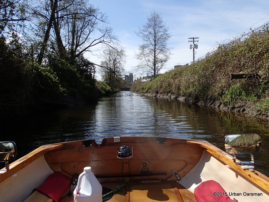
 Looking West down the Brunette.
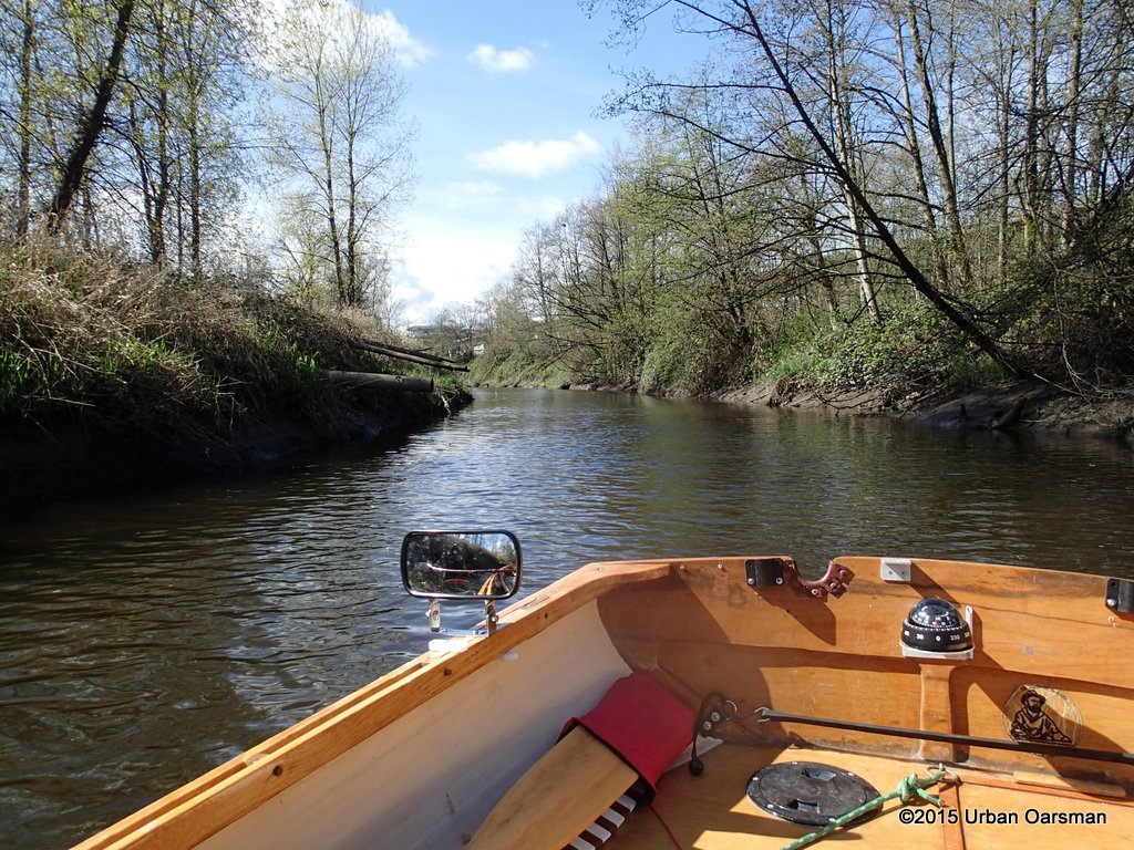
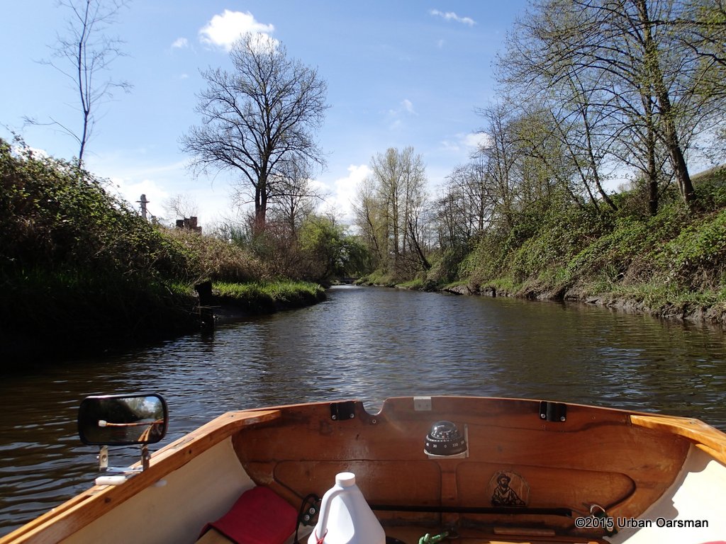
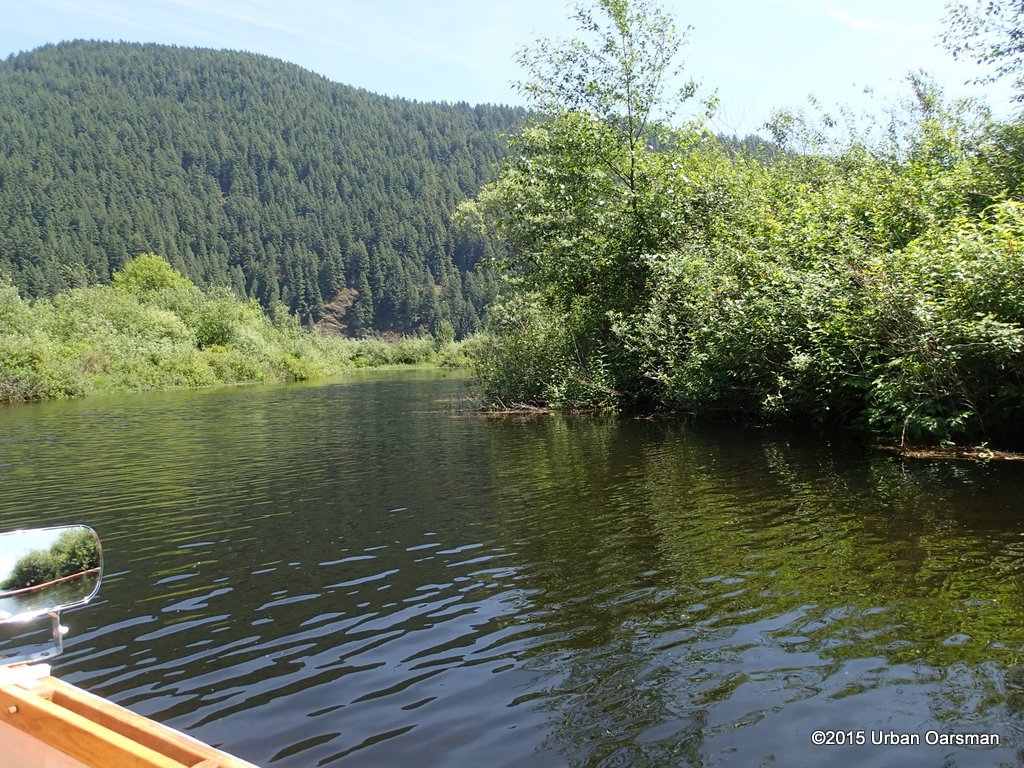
 I now row up the Brunette River.
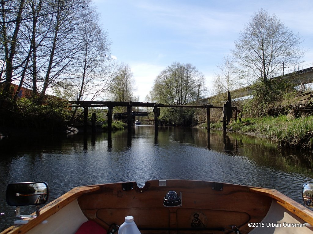
 I think that this railway bridge is abandoned.
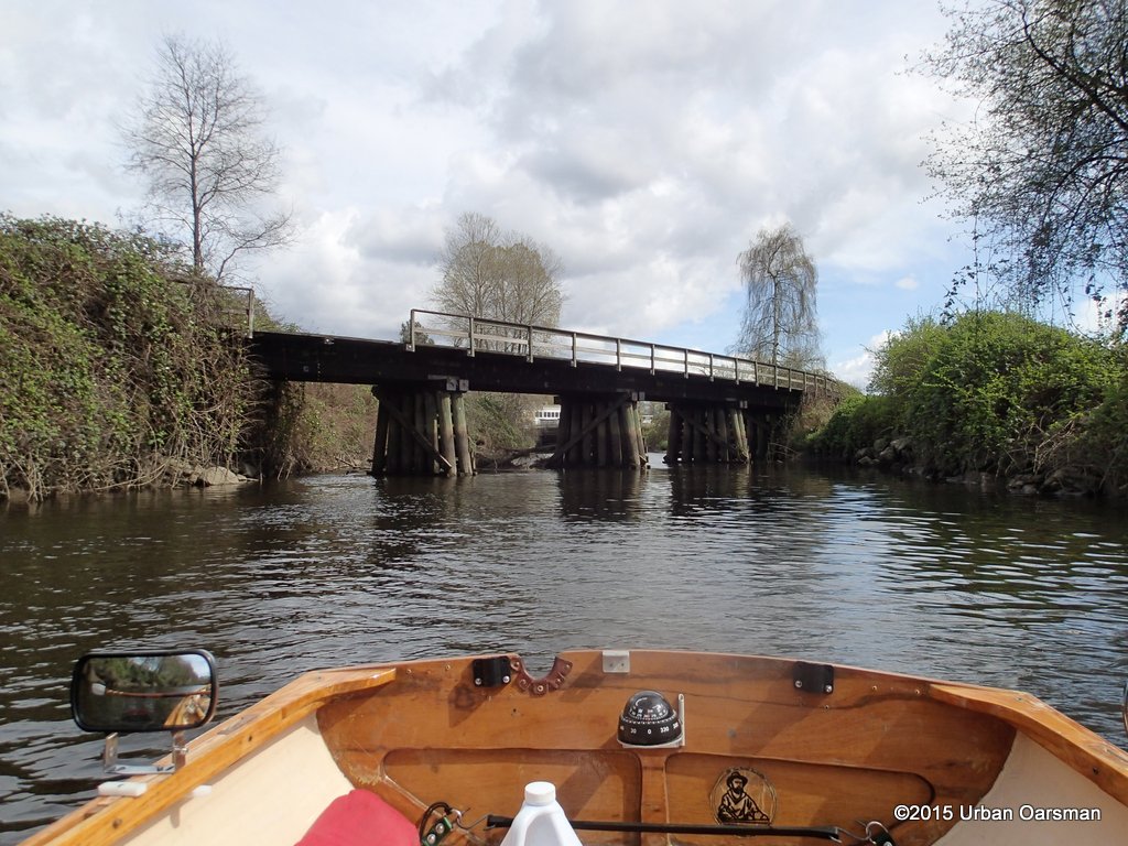
 The second Canfor Avenue Bridge.
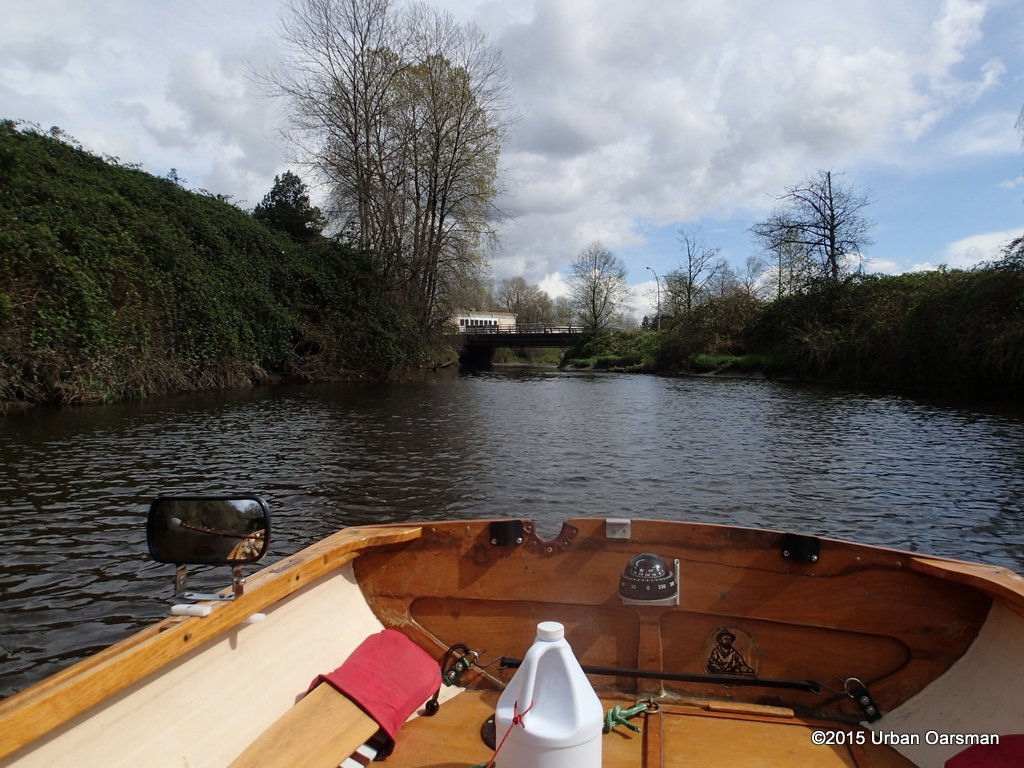
 I row beyond the Bridge.
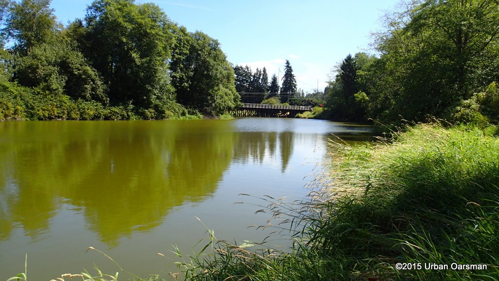
 This is the new Braid Street Bridge.
 Still shiny and new.
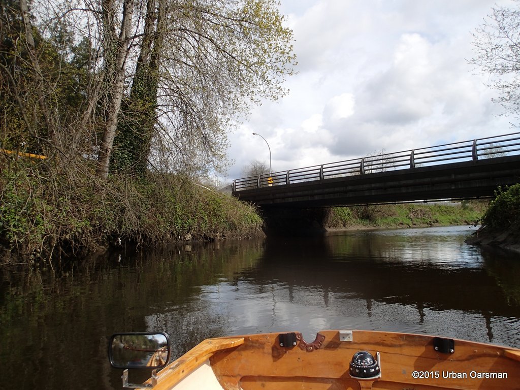
 I row under the Bridge.
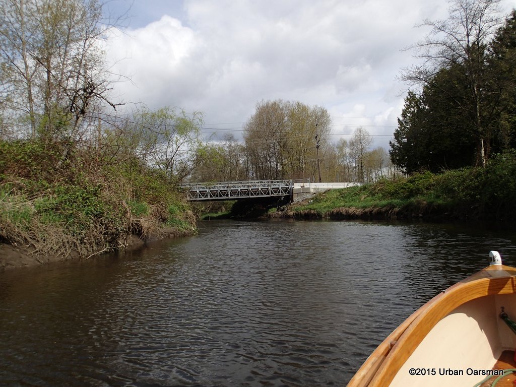
 Up the Brunette I row!
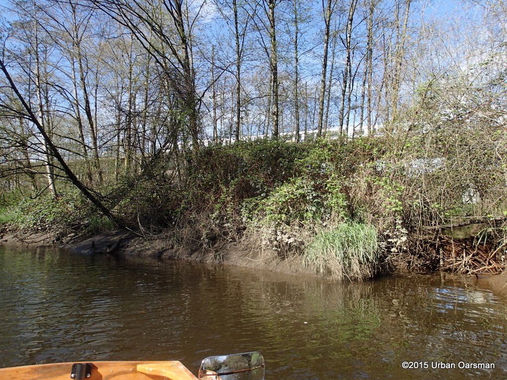
 The current begins to quicken. The river shallows. I am nearing the end…
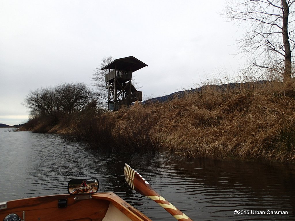
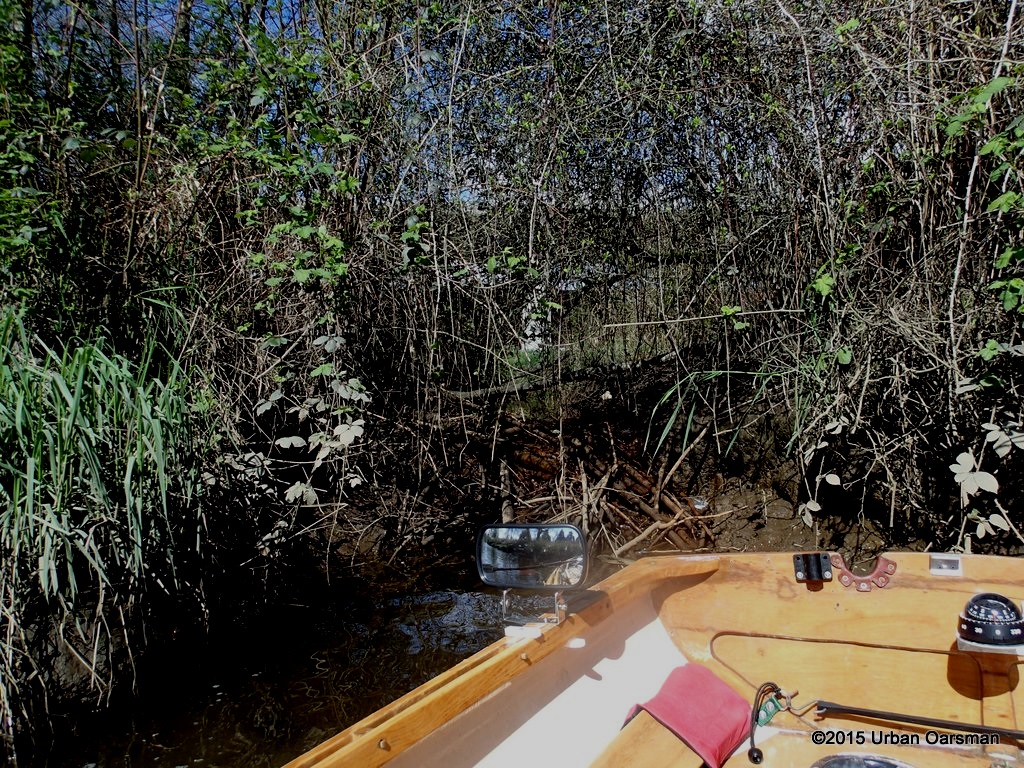
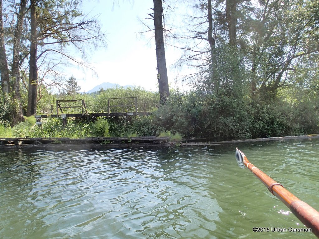
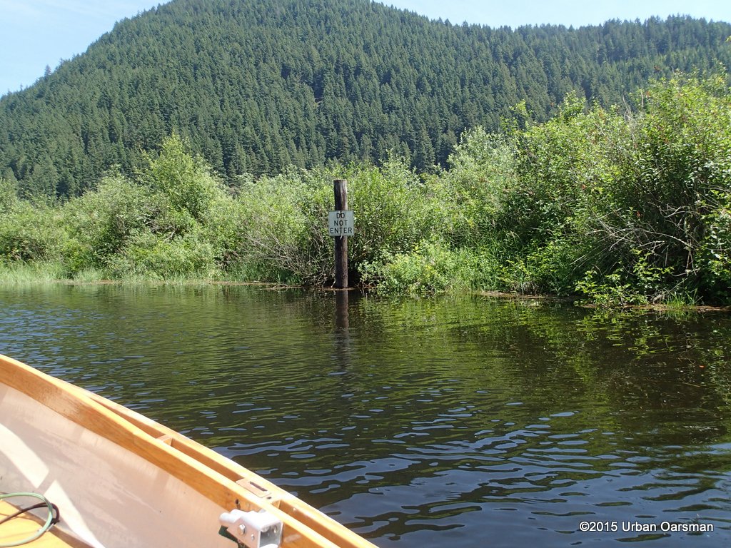
 The end of the row. I cannot go any further, the current is too strong and there is an obstacle across the river with breaking standing waves. I need higher water to go further on. There is a fisherman by the rapids. I am the first rowboat he has ever seen here.
 Another gauge at the new Braid Street Bridge.
 I let the current carry me downstream.
 Back at the fork to the Fraser through the old Canadian Forest Products site.
 A last look down the Brunette, and I row under the Canfor Avenue Bridge towards the Fraser.
 I leave the junction behind.
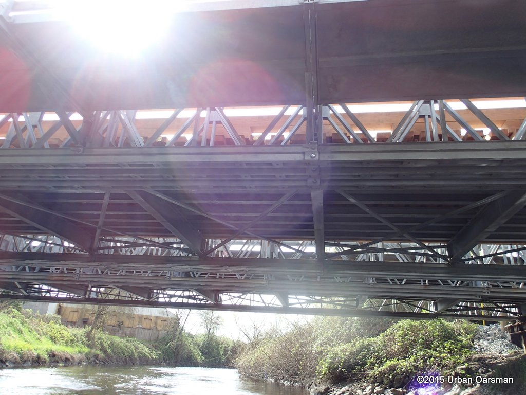
 Back under the I-beams.
 The tide should be rising, but there is a slight outflow current. Wierd. I guess the tide is not rising quickly enough to push water into the Brunette and cause it to flow backwards here.
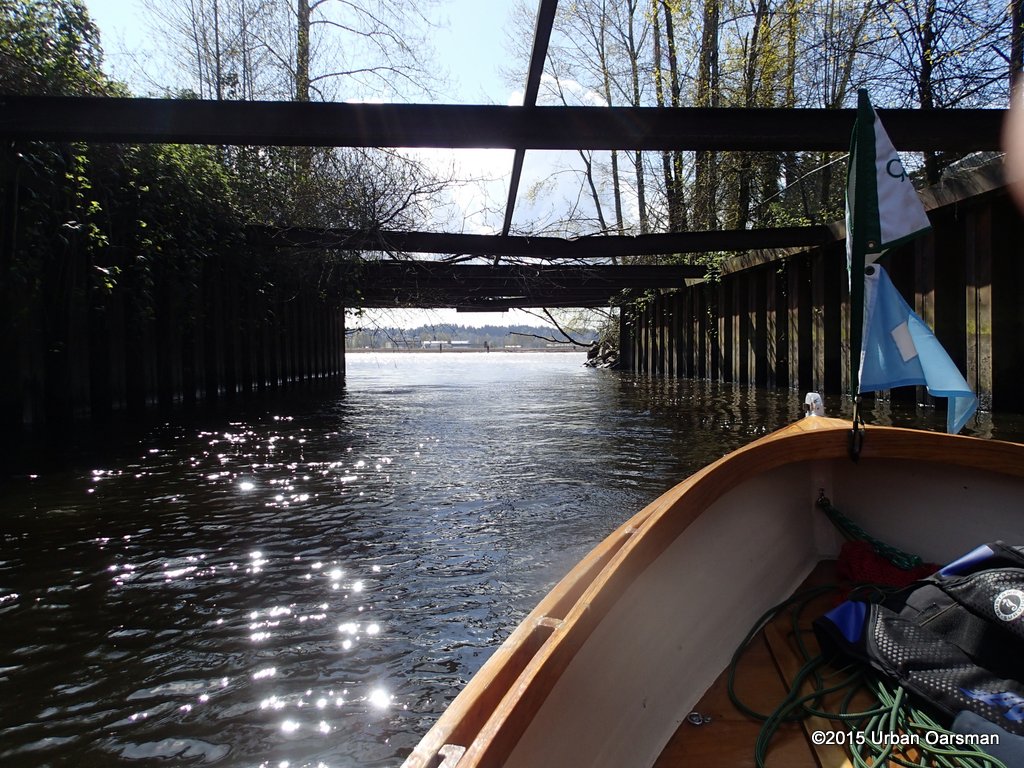
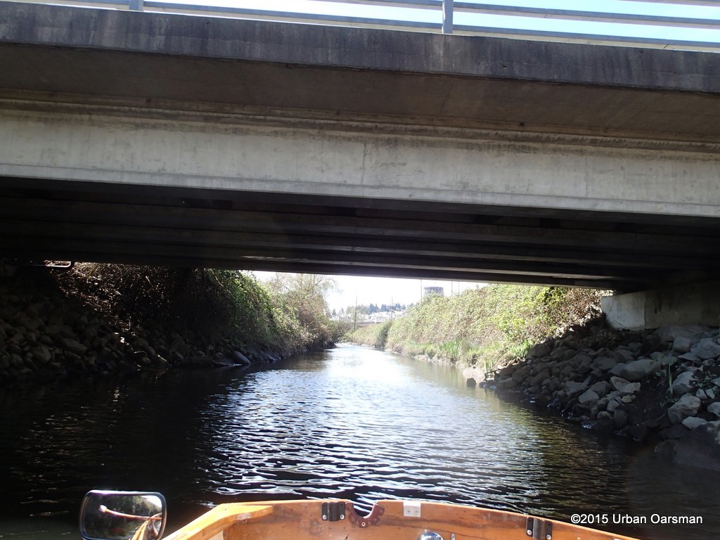
 Almost through.
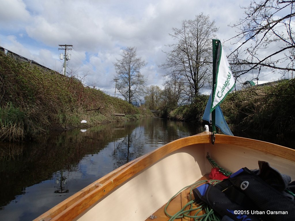
 The river looks pretty calm. Maybe I am in rowing luck.
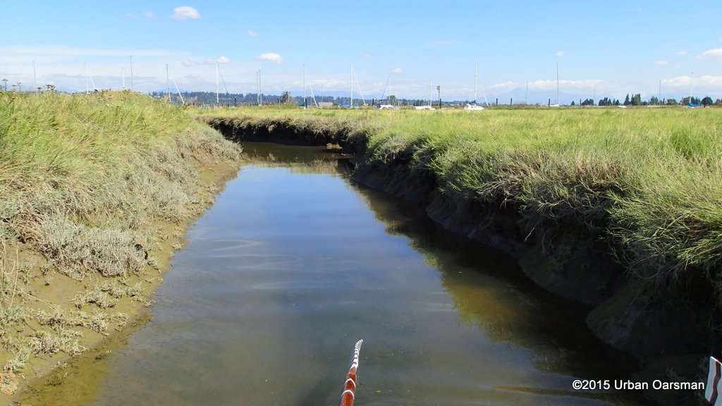
 I leave this unstable area for more stable areas.
 West towards the Pattullo Bridge.
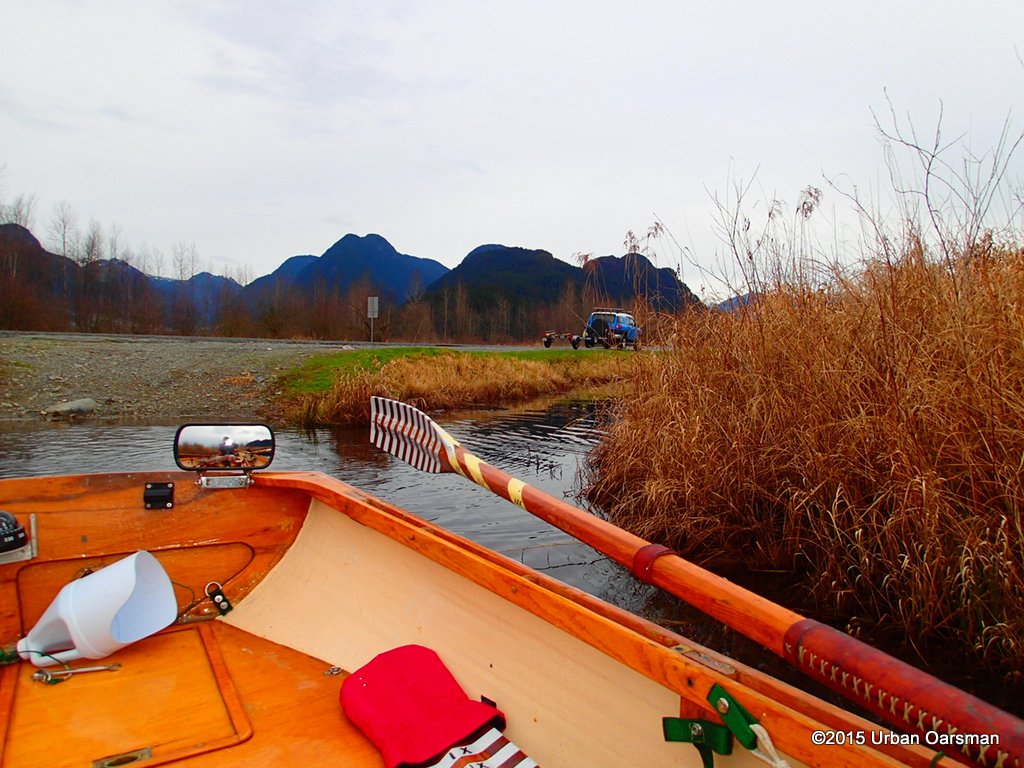
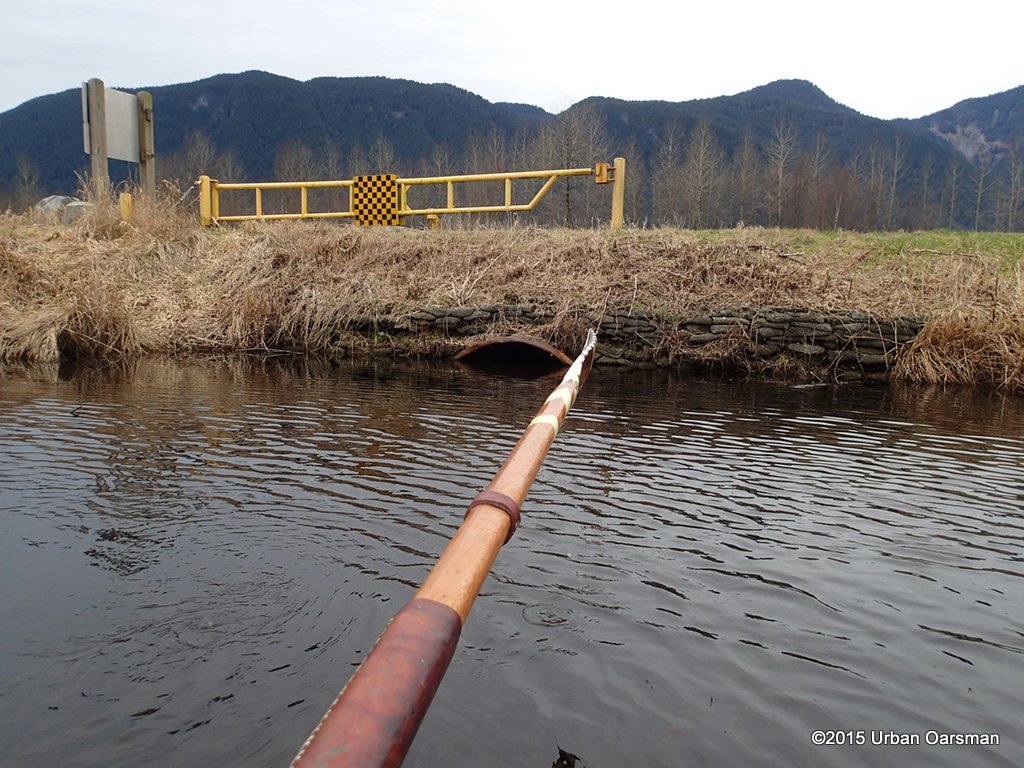
 East towards the New Port Mann bridge and the Maquabeak Park boat launch. I row between the log booms and the shore, staying out of the wind and current. I just hope that there is enought room for me to row between the shore and the booms.
 Well, I had to pop out from between the booms and the shore…the way was blocked. I am in the current, but I find that the wind is pushing me up river strongly enough to nearly counteract the current. Still, it is tough rowing.
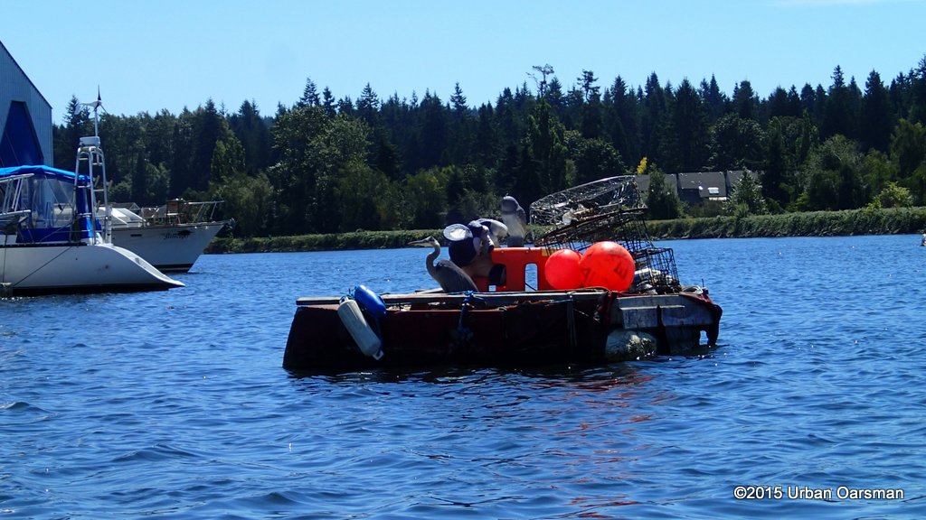
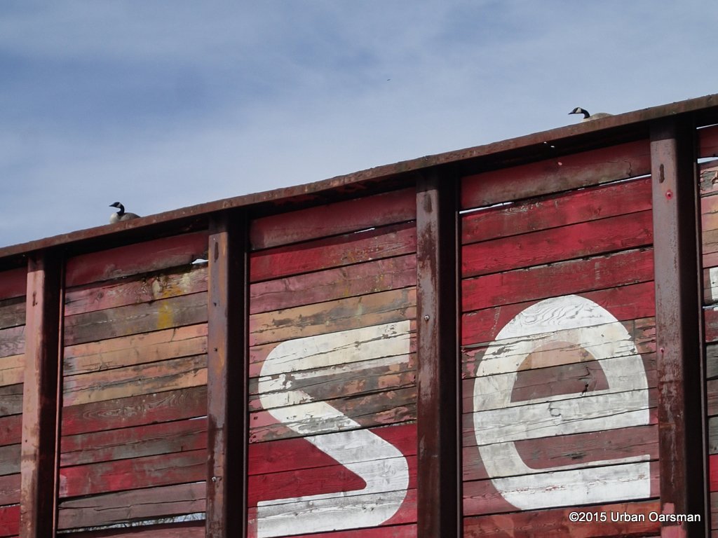 Geese on a barge. Not as good a title as “Snakes on a plane”, but much more realistic. Canadian Geese can be pretty nasty. Ever try to walk on a grassy area where they have been?
 The log sort excavator working. I am not taking as many pictures as I have to keep rowing to make progress.
 With the wind blowing upriver, this piece of foam was making better time than I was.
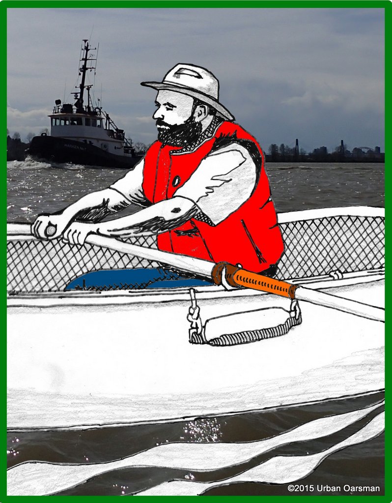
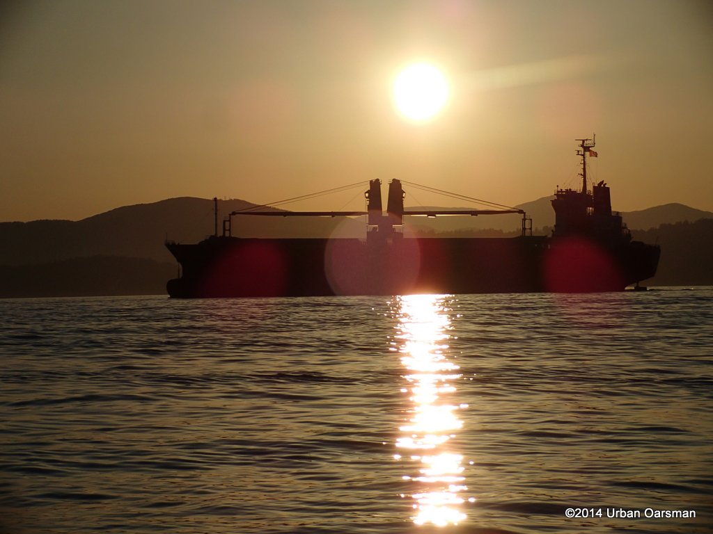
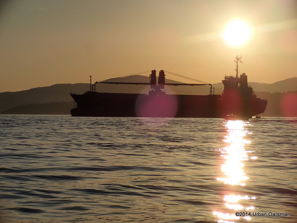
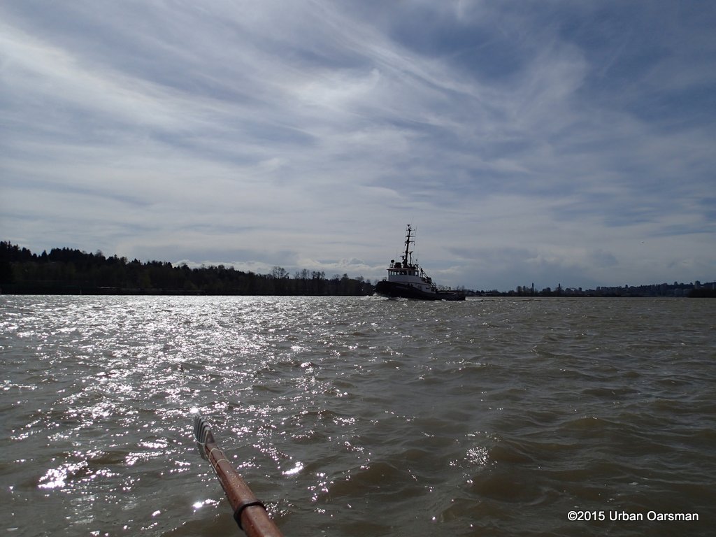 A tugboat, the Harken No.7 comes up from astern.
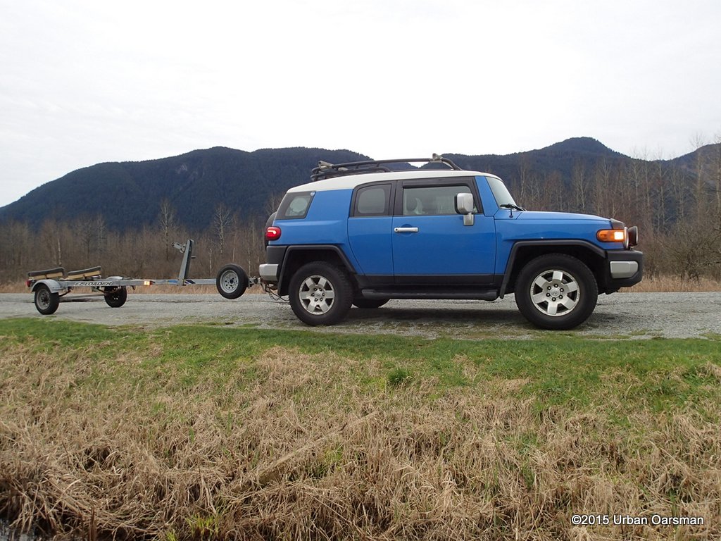
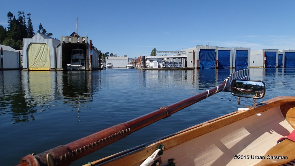
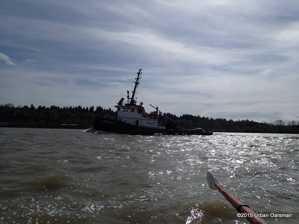 Nice guys, they give me a lot of searoom. I am almost at the boat launch. I row Gwragedd Annwn to the dock and pack her up for the trip home.
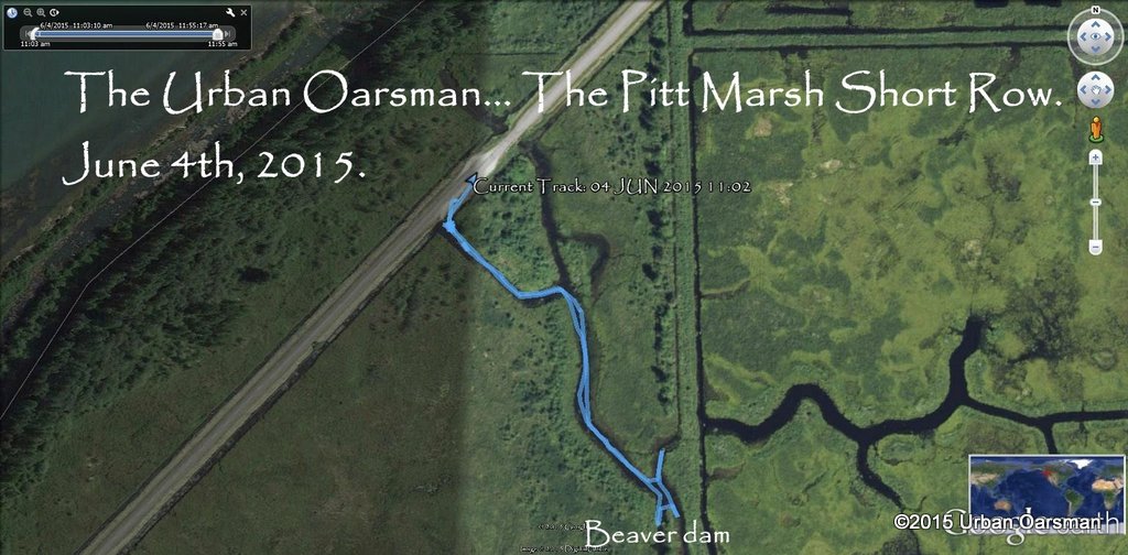
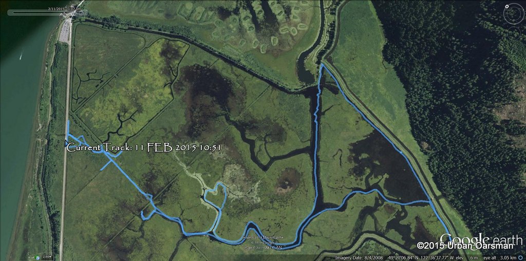
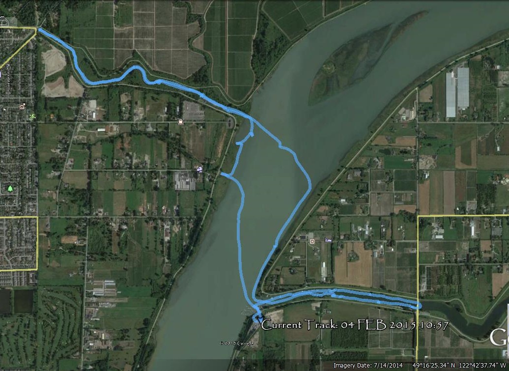
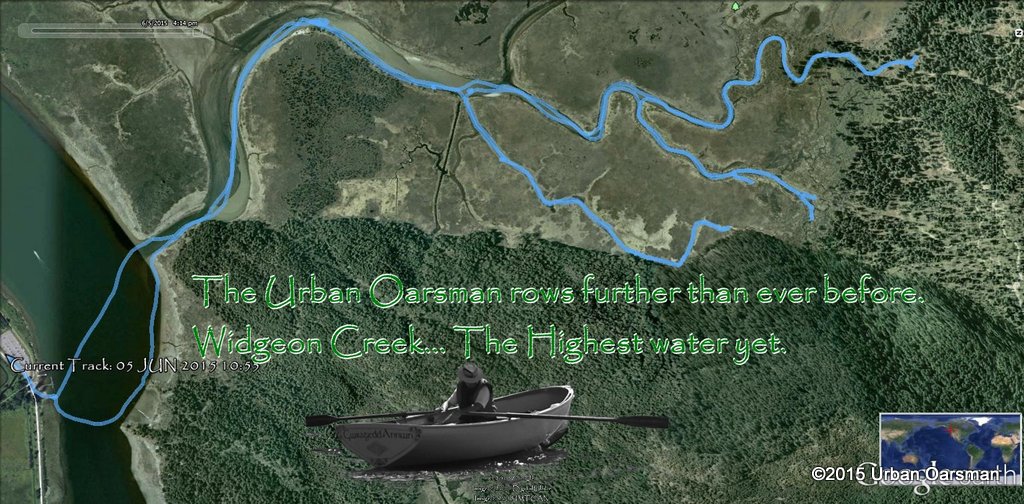
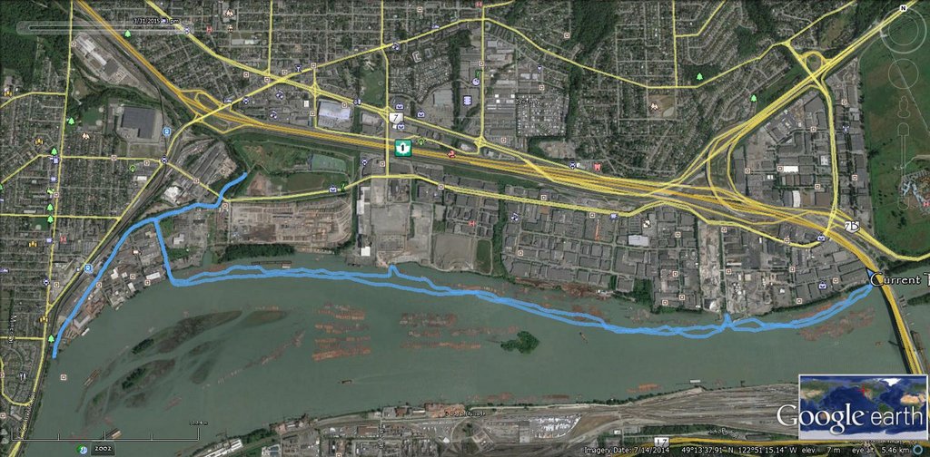 GPS track of the row.
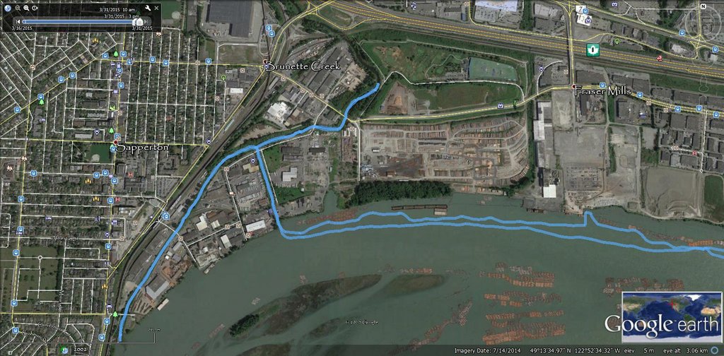 The Brunette River part.
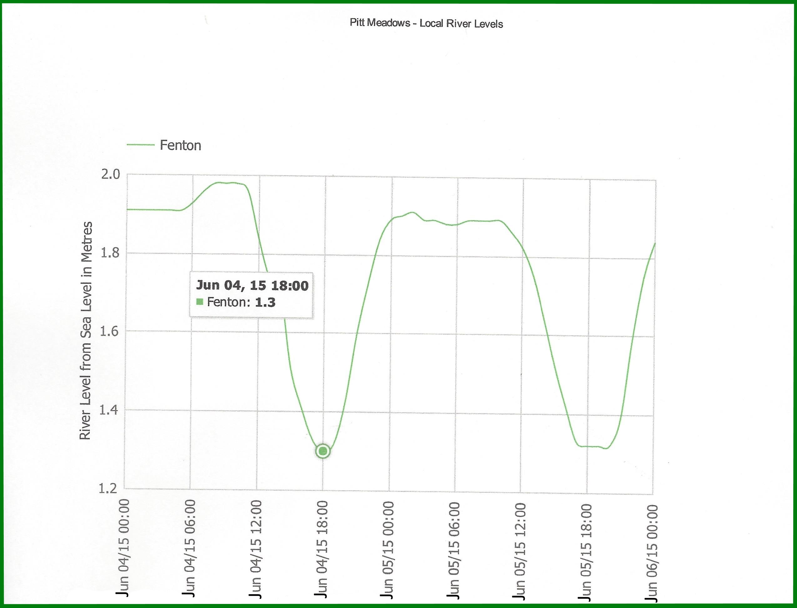
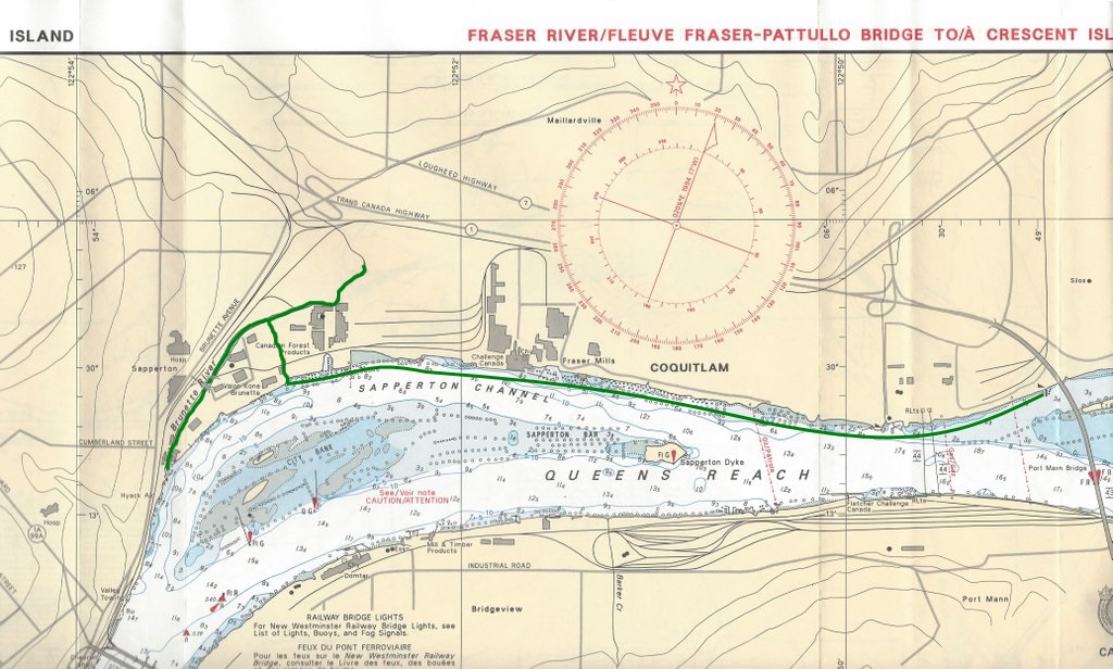 Copy of the chart I took with me.
 The Brunette River part was the calmest, with the Sapperton Channel being the most challenging part to row. Being given a good run for the money by a foam block was pretty humbling. The hardest part about rowing in the Fraser is the downstream current. The upstream wind helped even if it did kick up a lot of chop.
The trick is to row upstream with the incoming tide, downstream with the outgoing tide and plan your row accordingly.

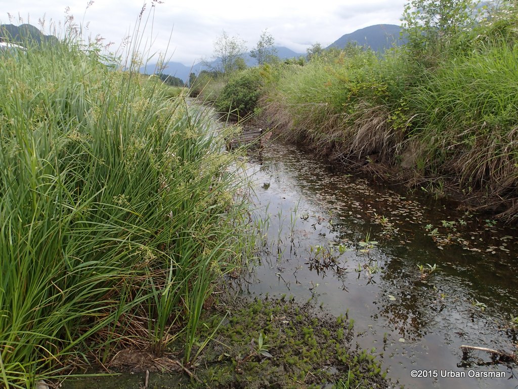
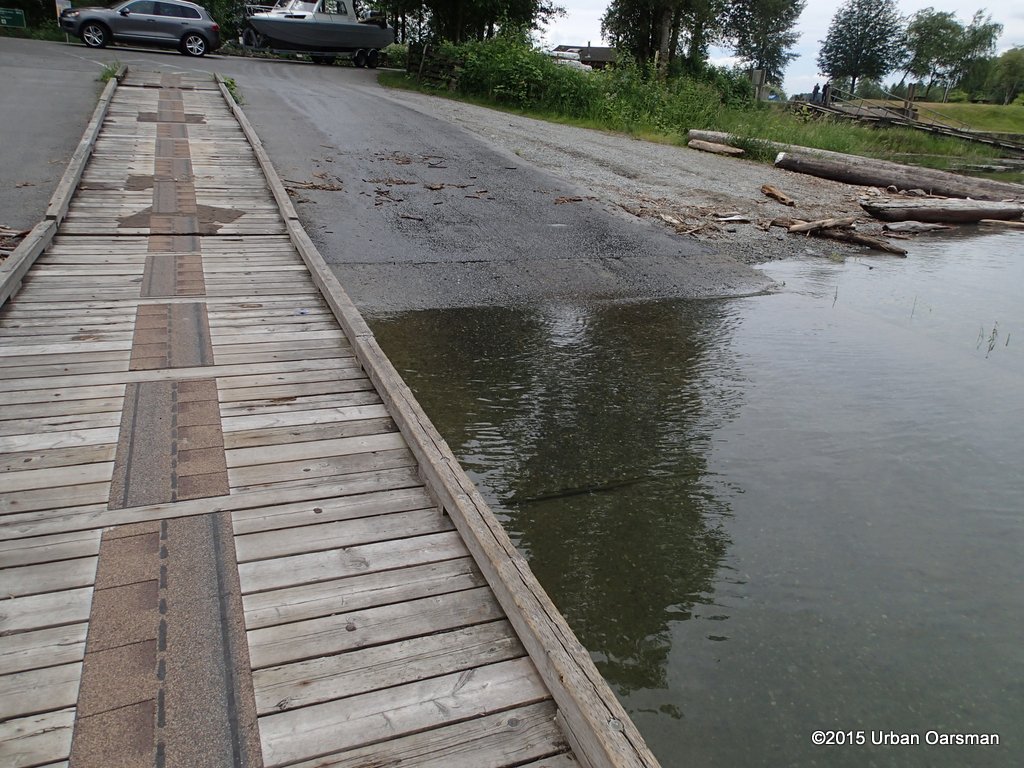
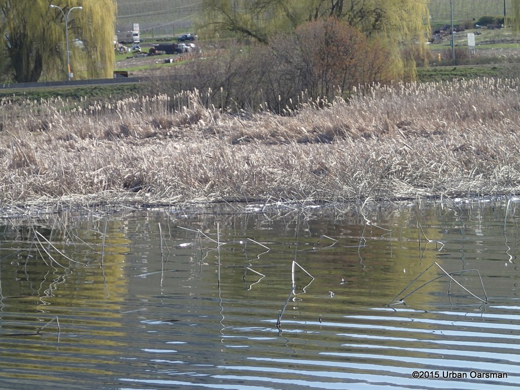
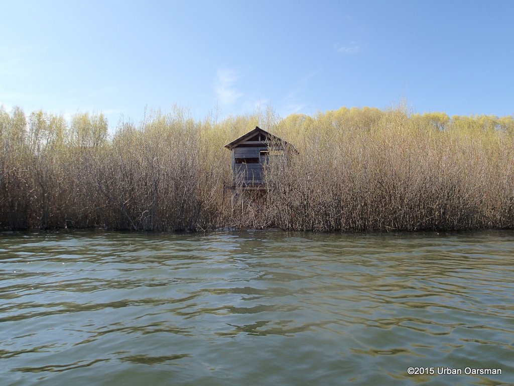
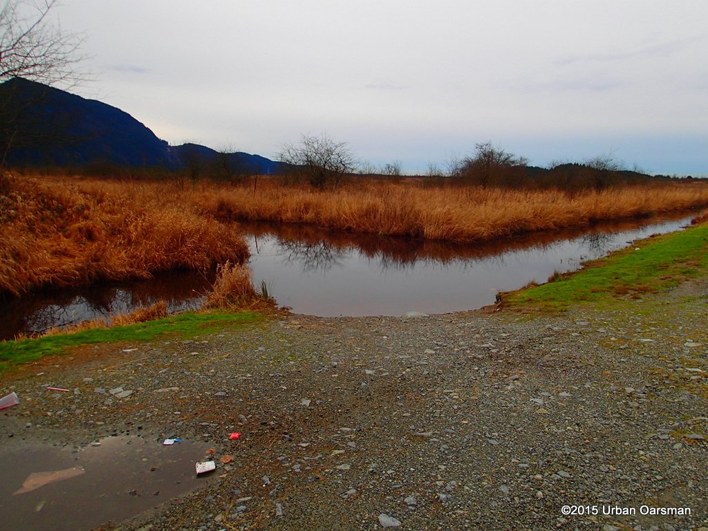
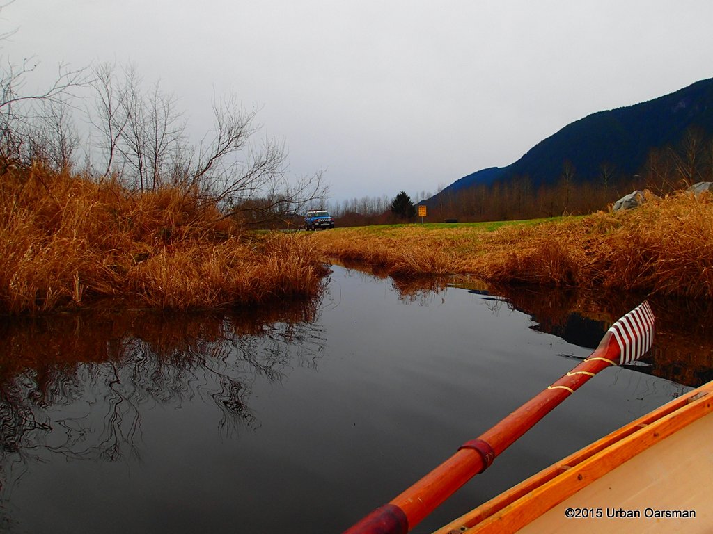
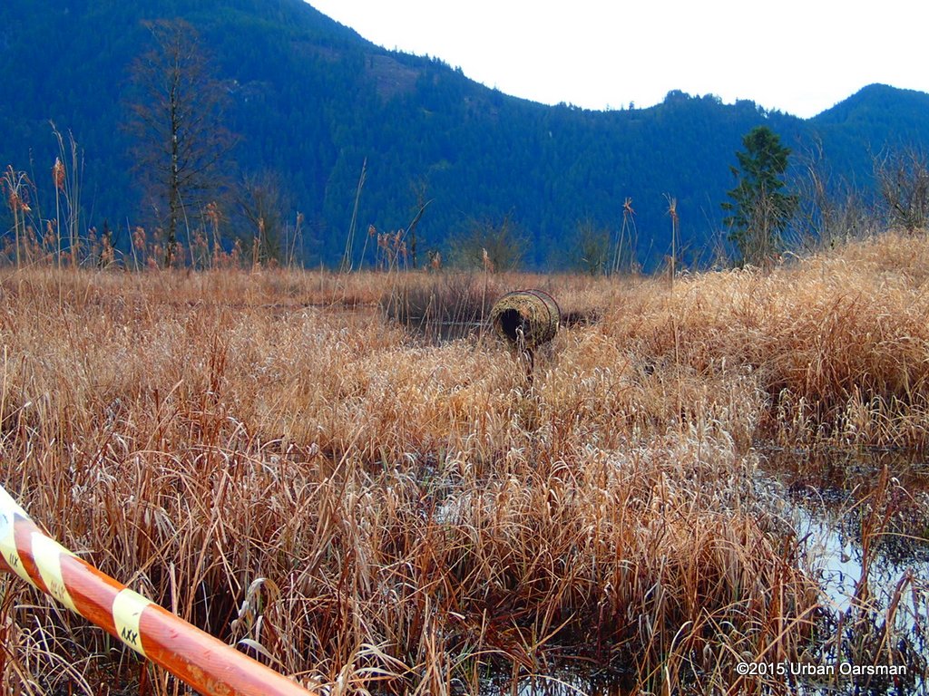
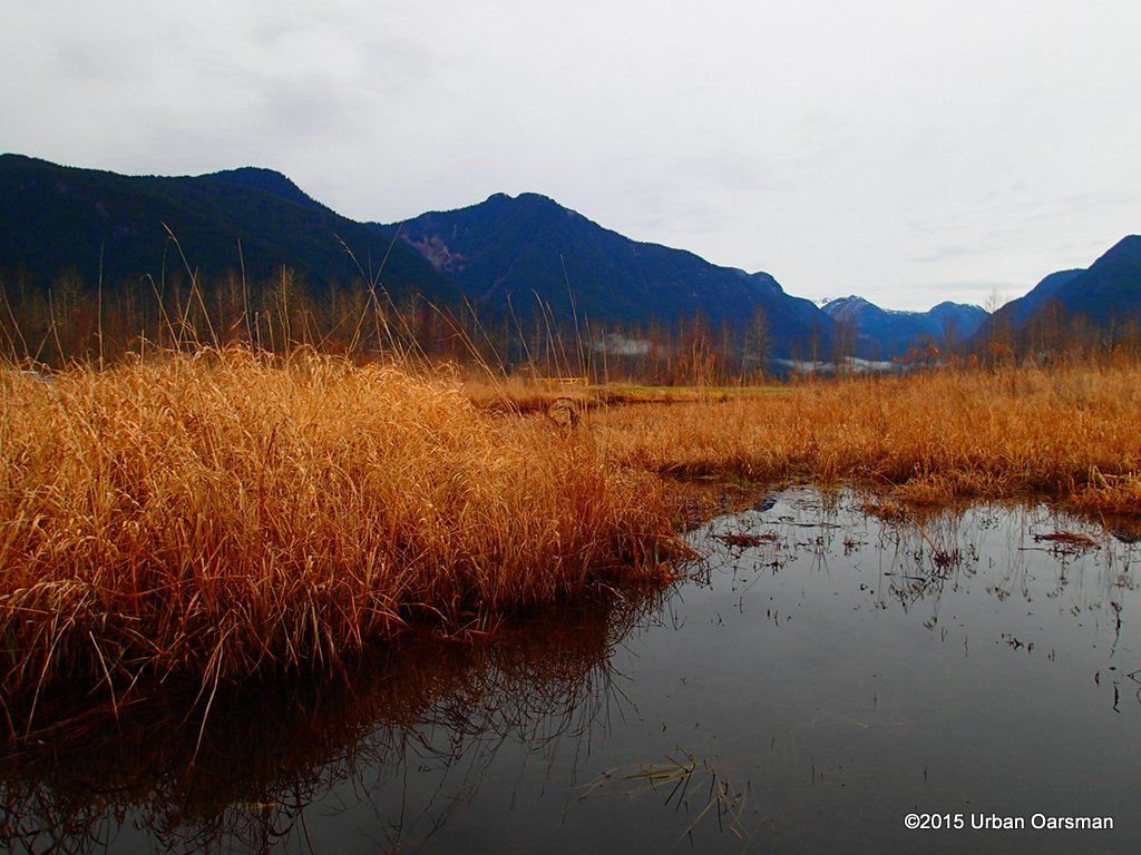
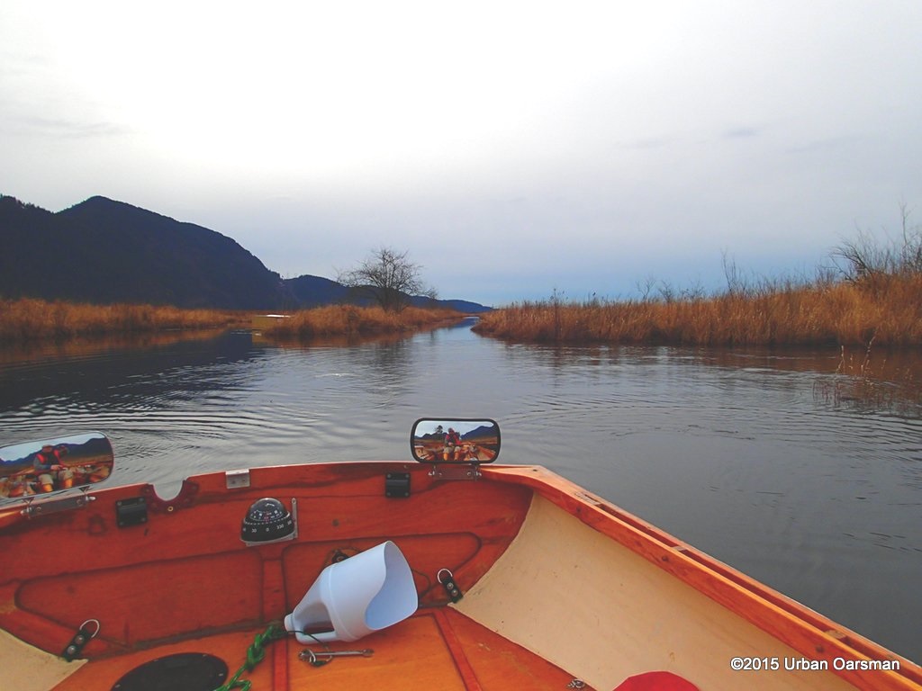
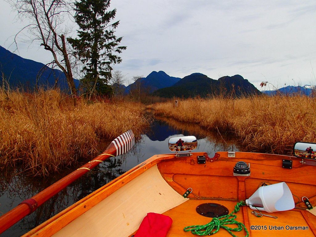
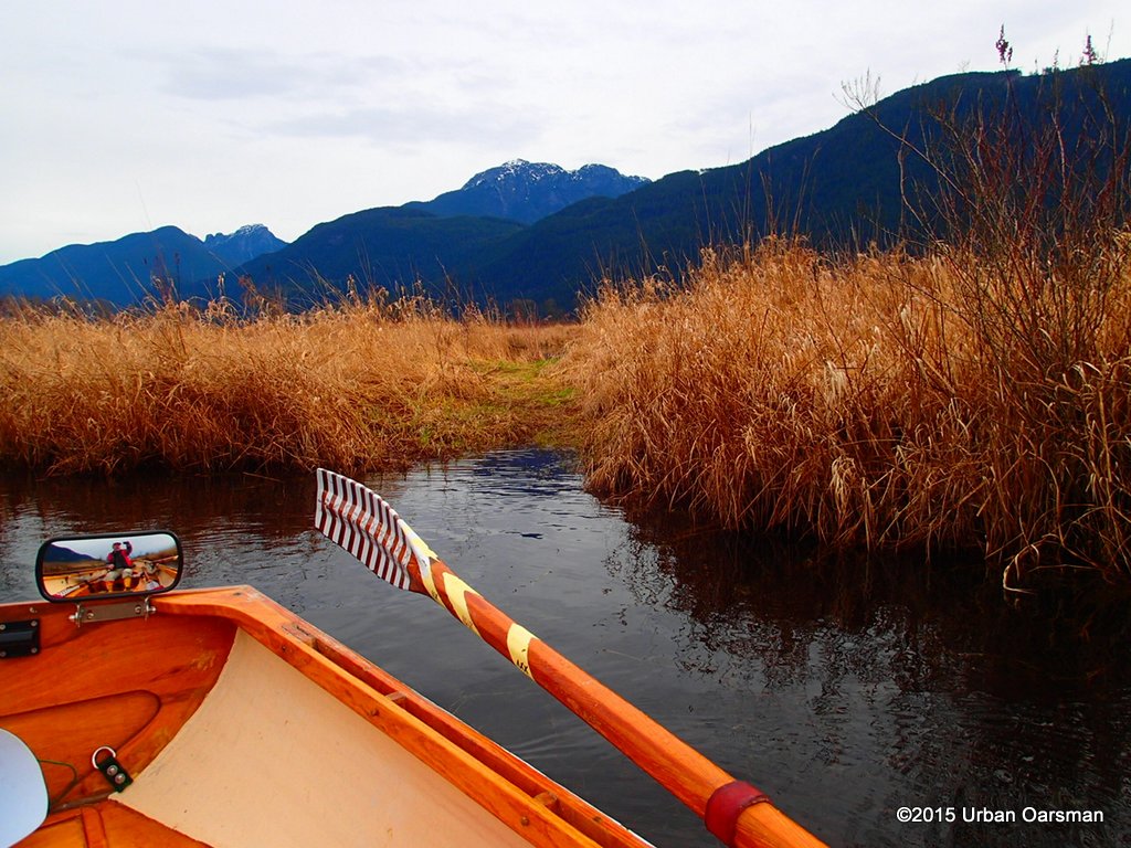
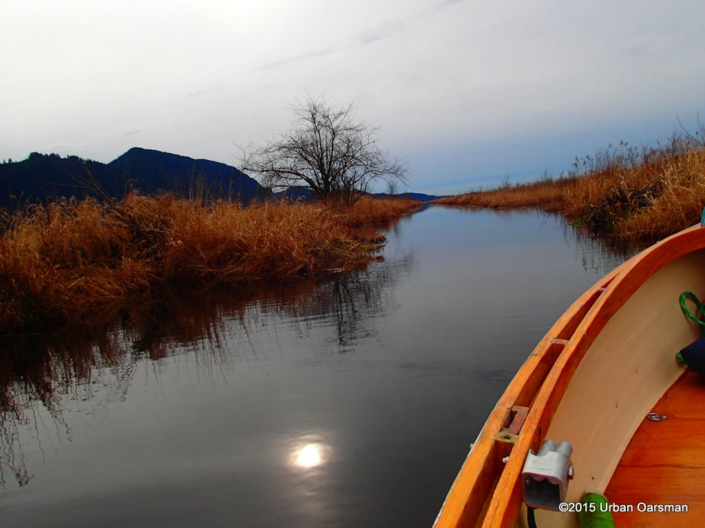
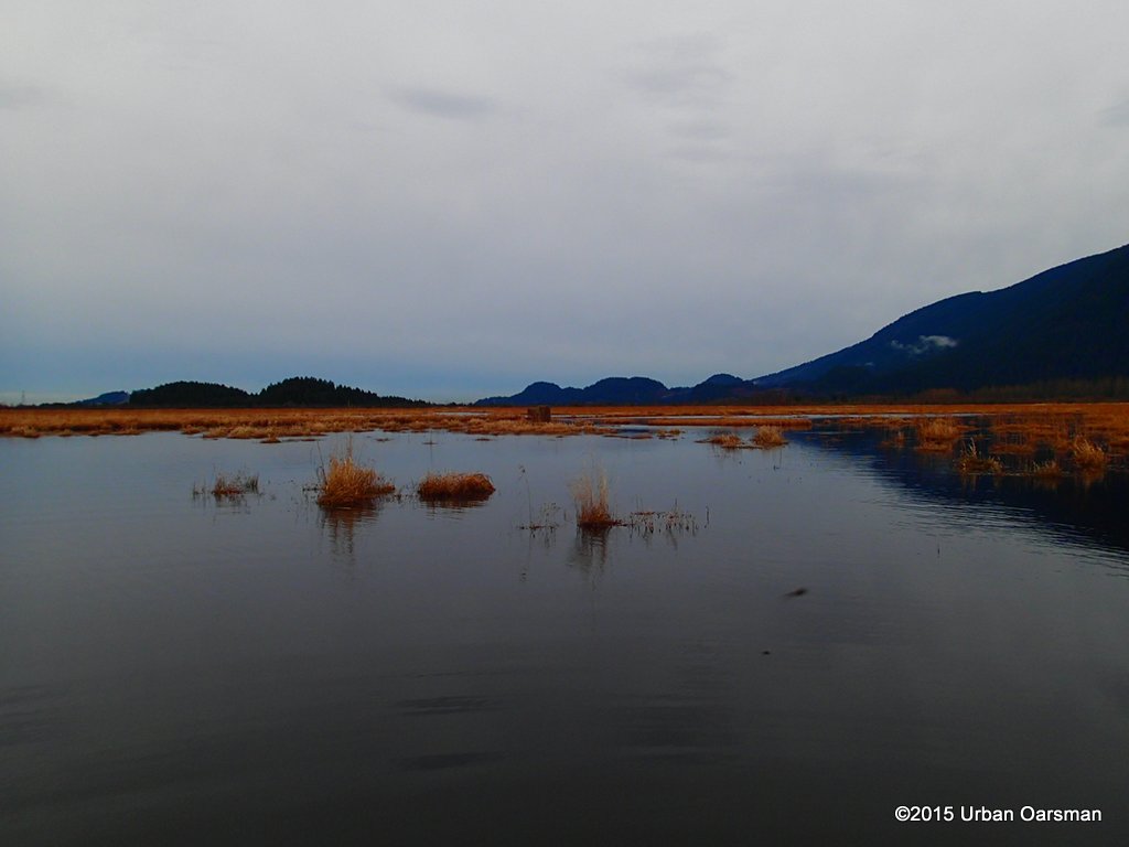
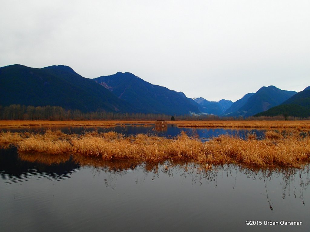
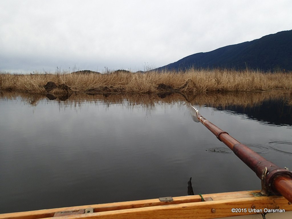
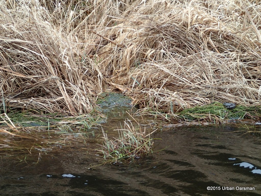
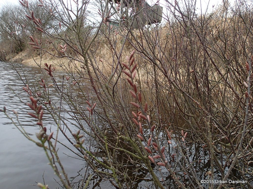
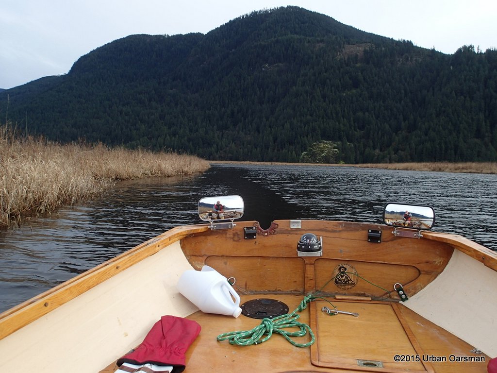
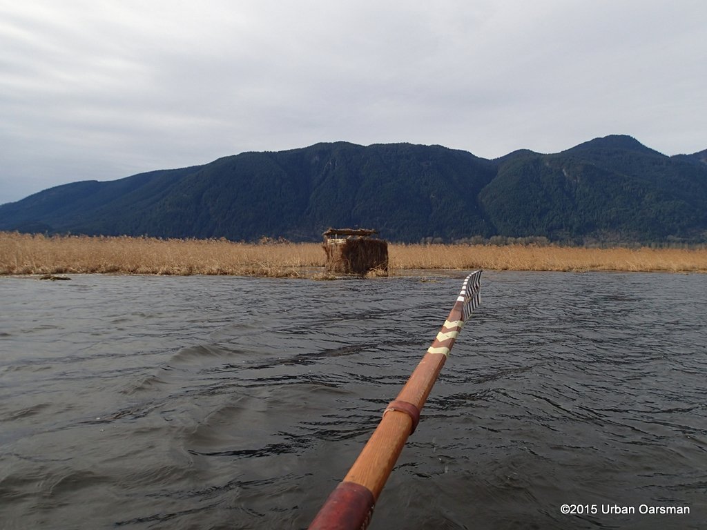
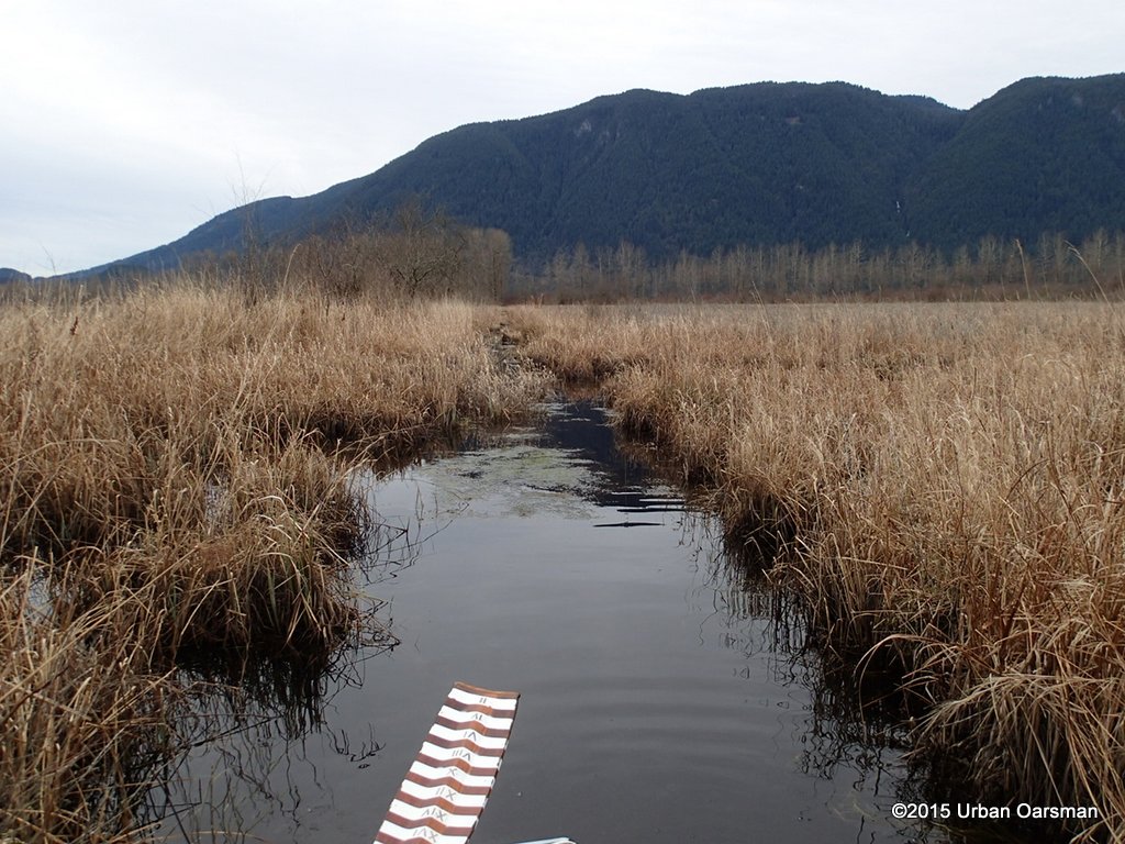
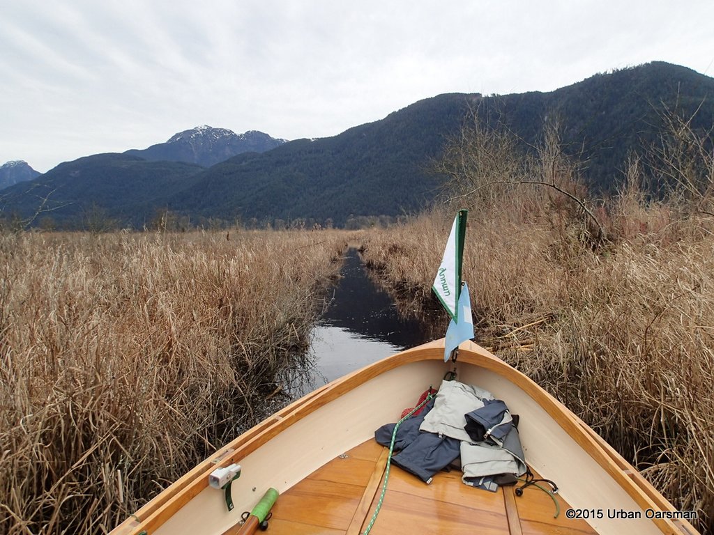
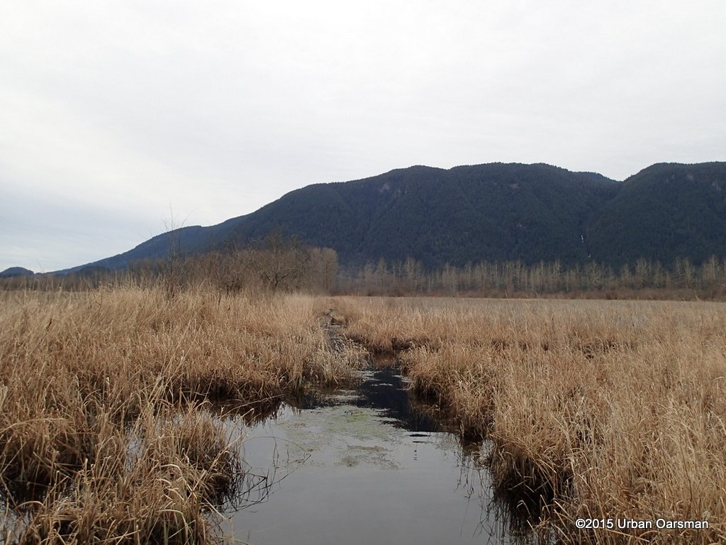
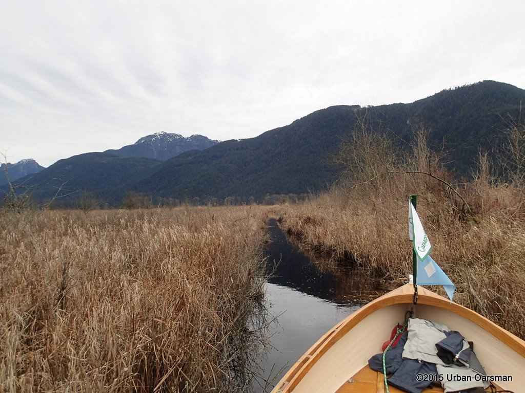
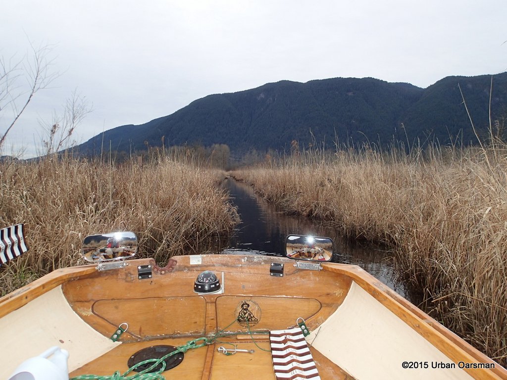
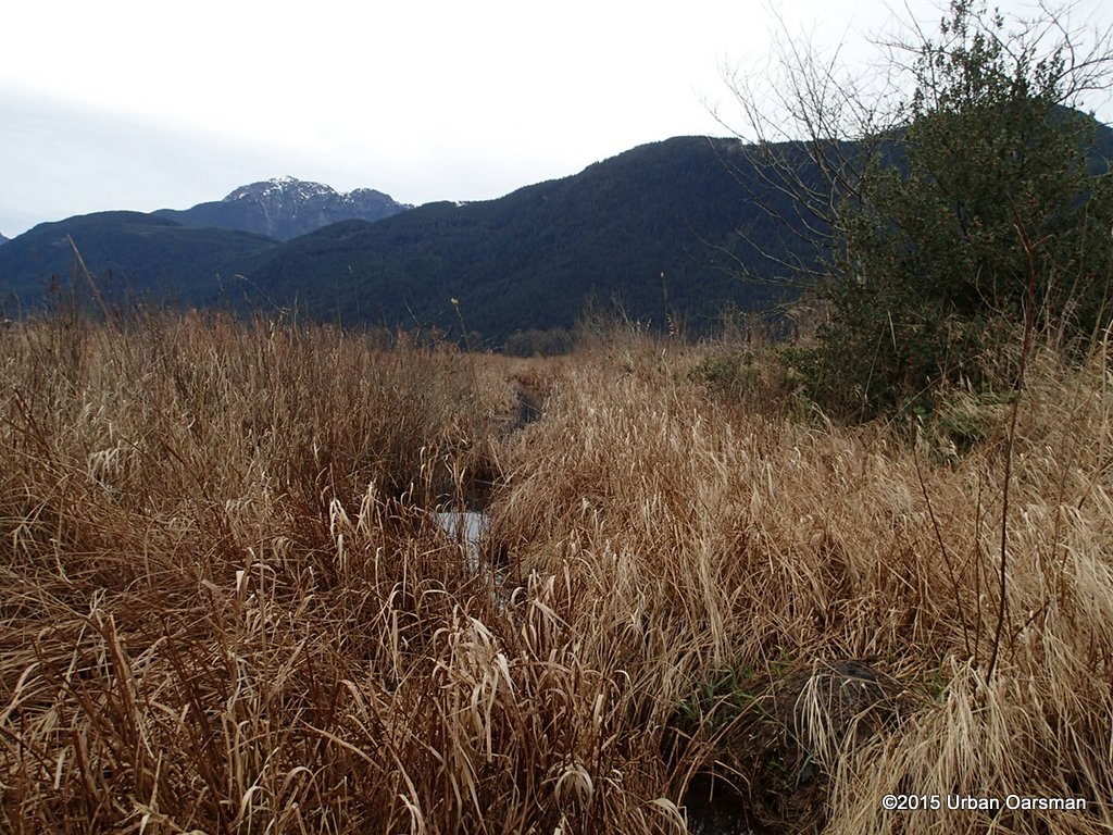
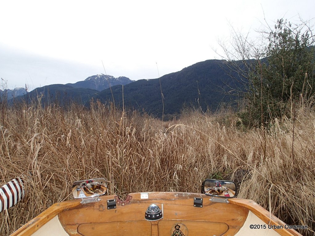
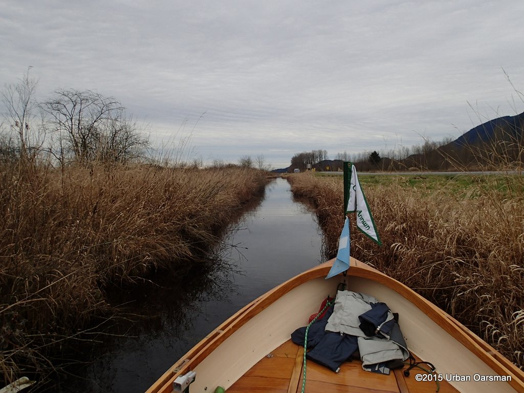
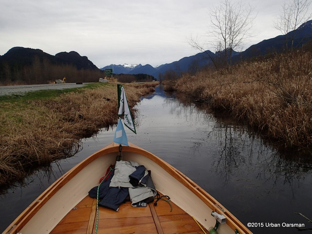
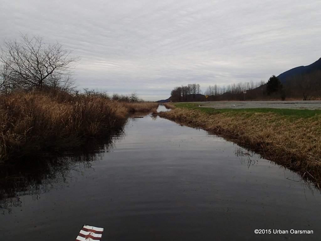
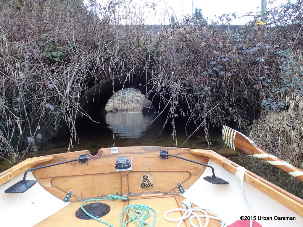
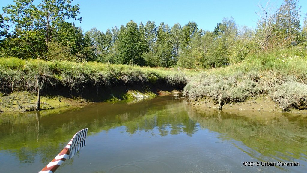
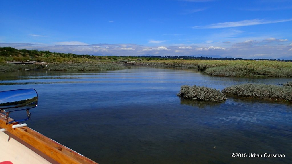
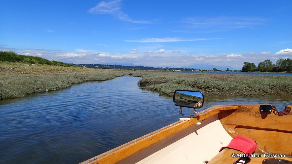
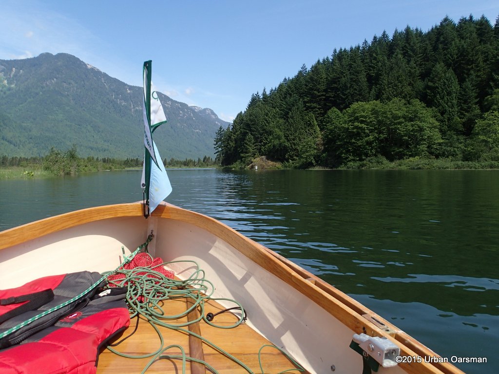
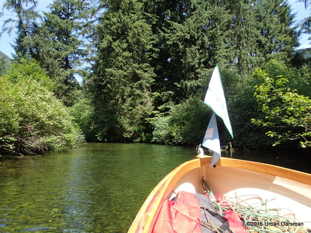
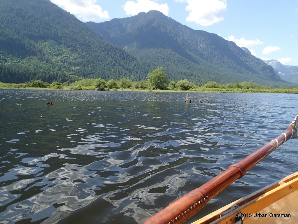
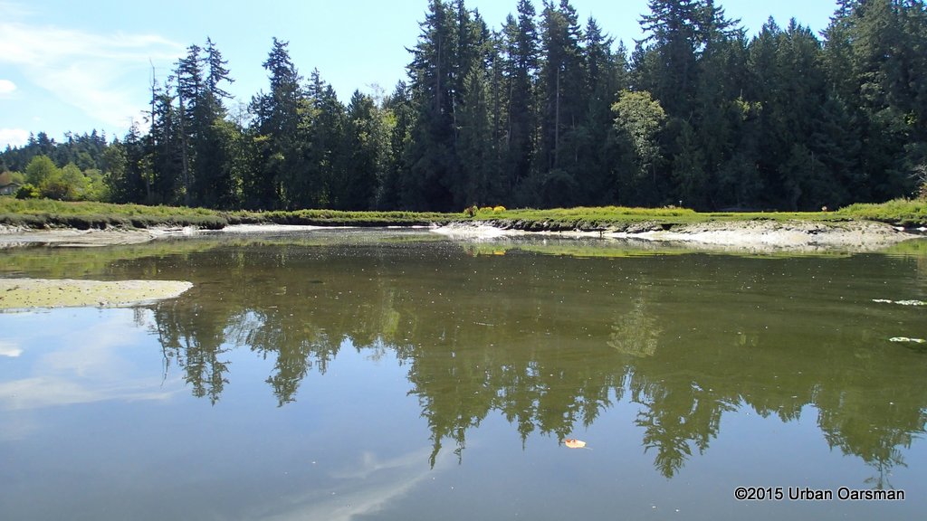 I row into the creek estuary.
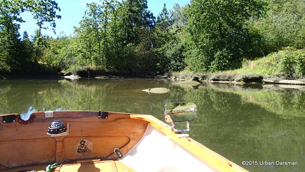

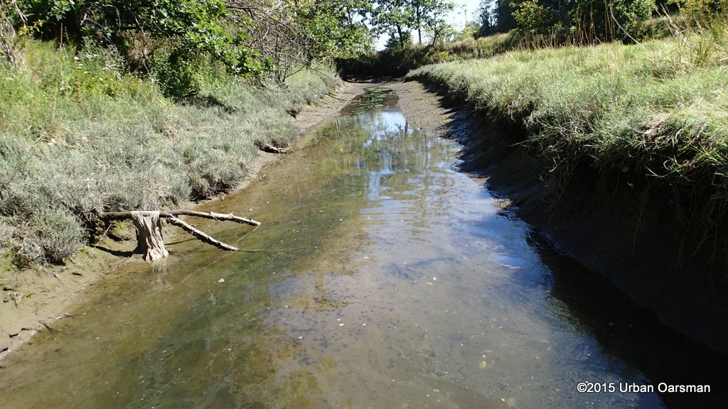
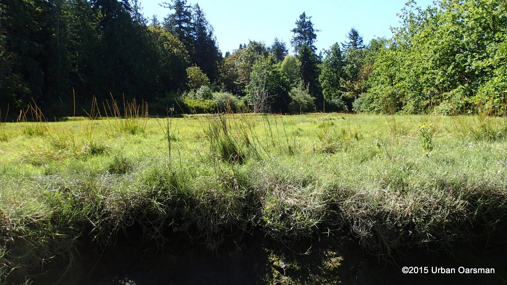
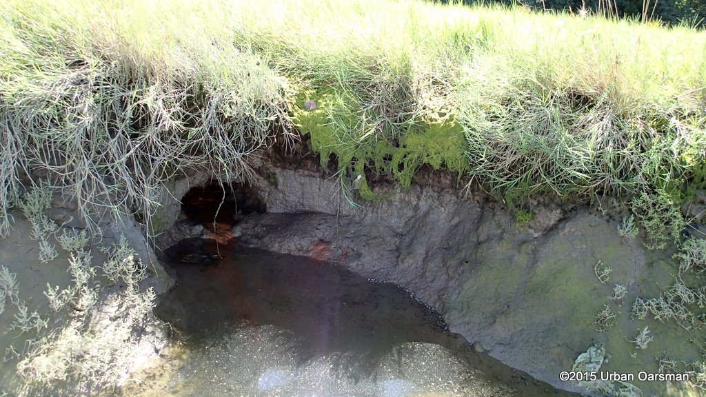
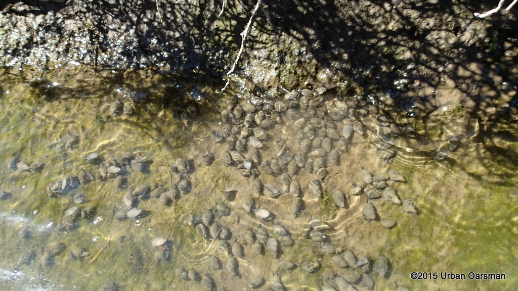
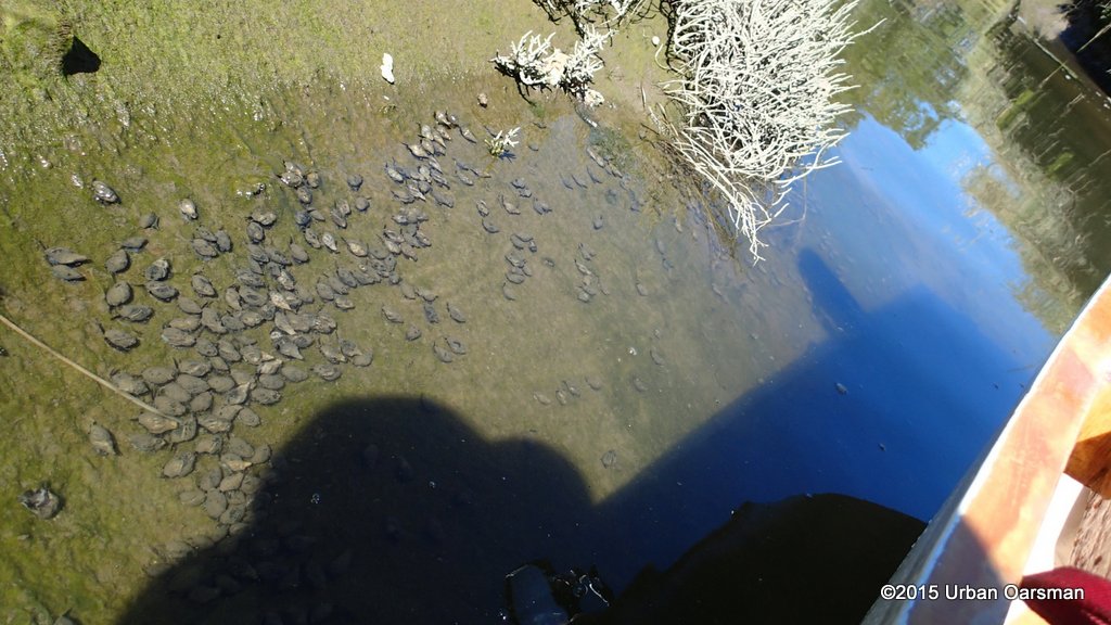
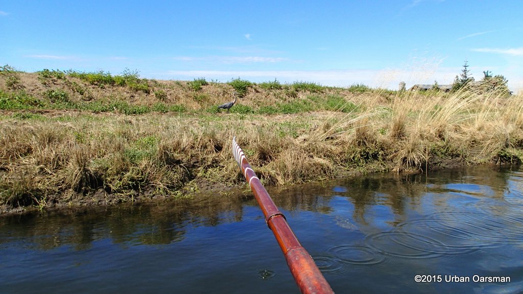
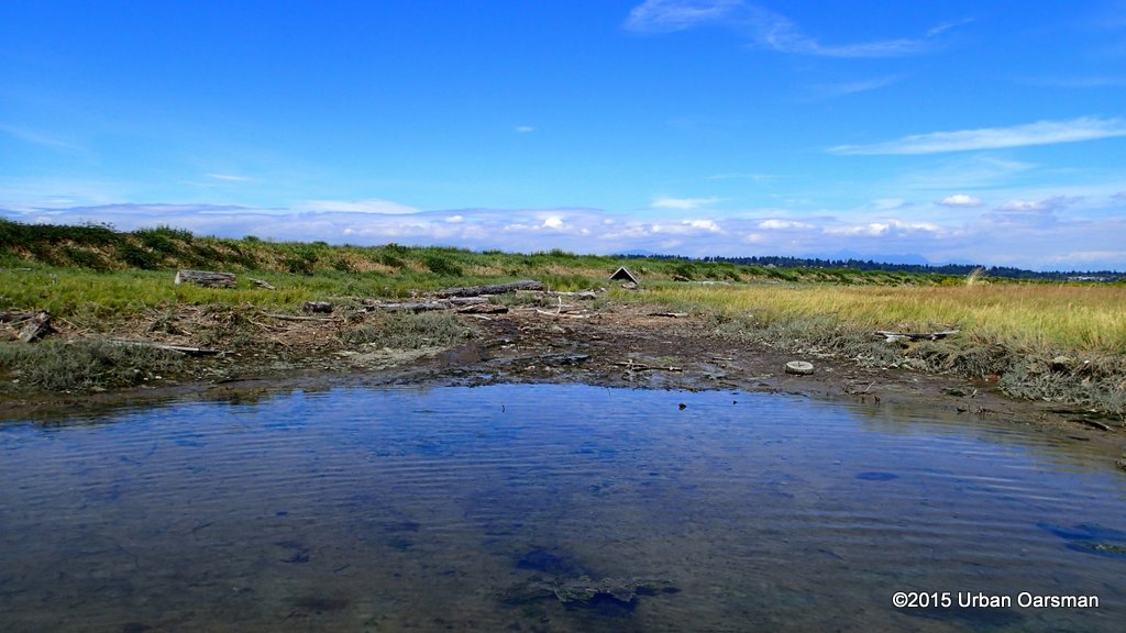
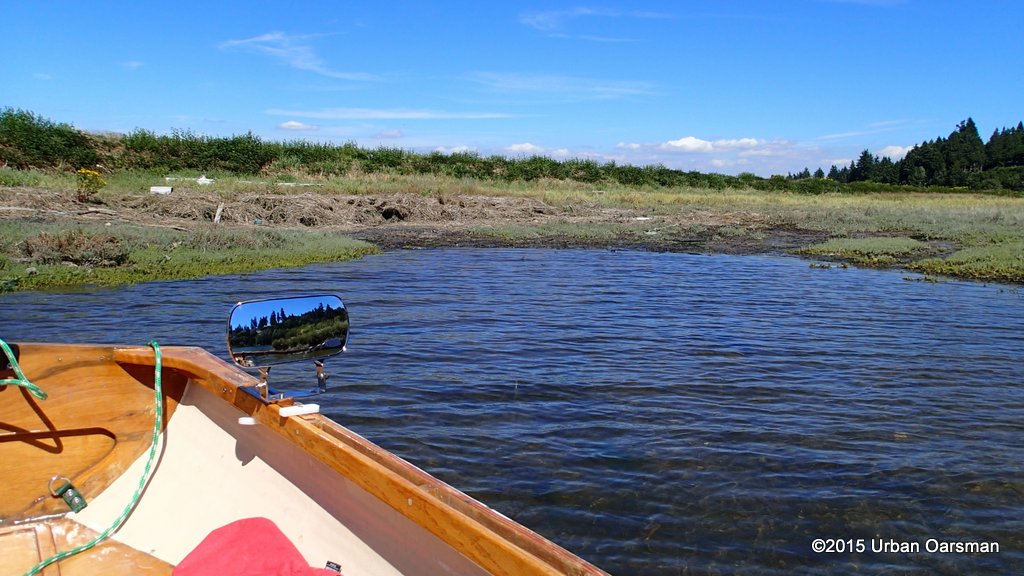
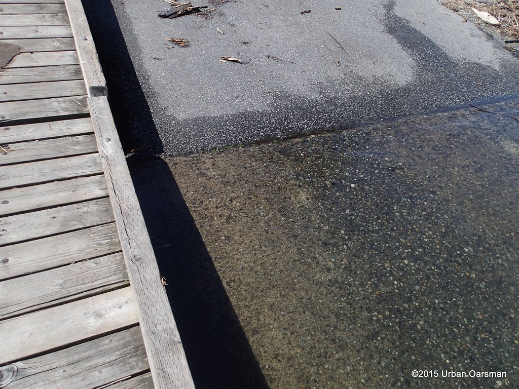
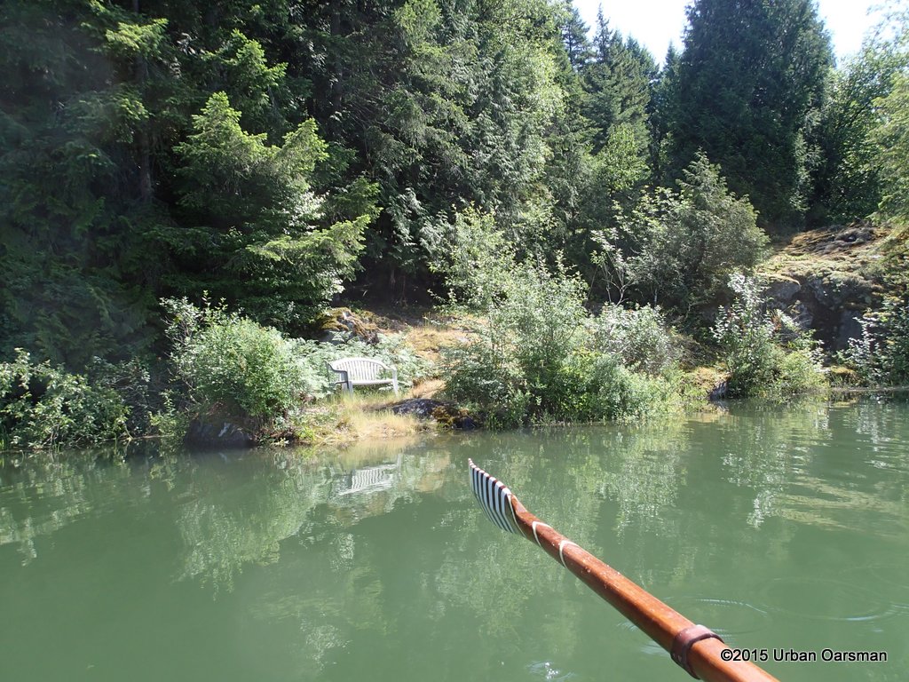
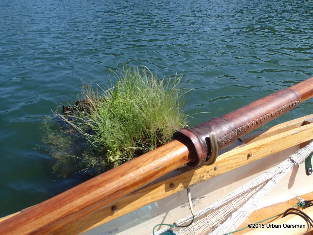
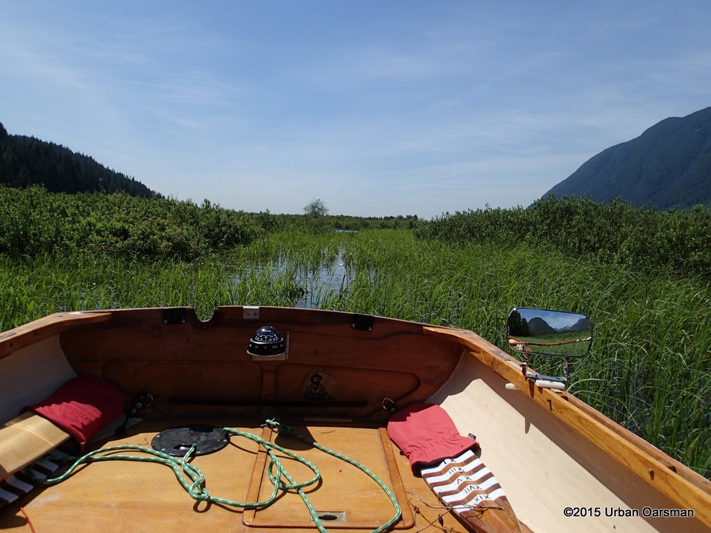
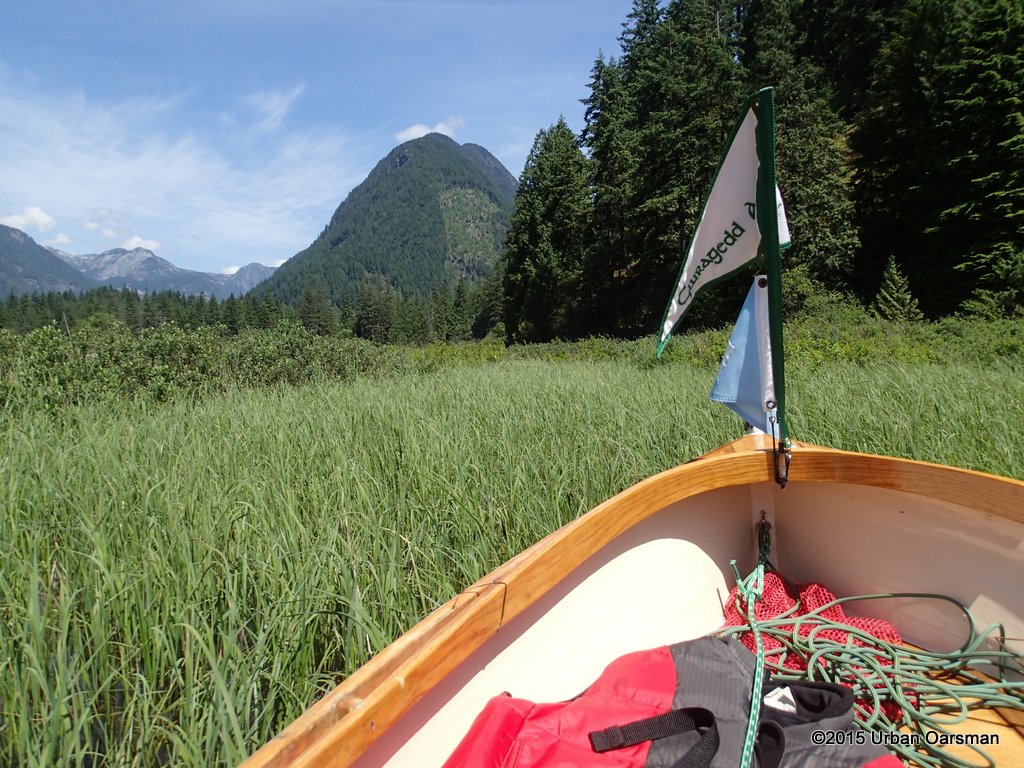
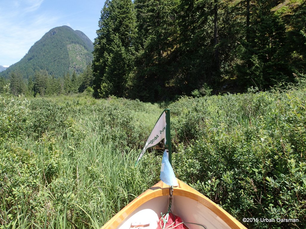
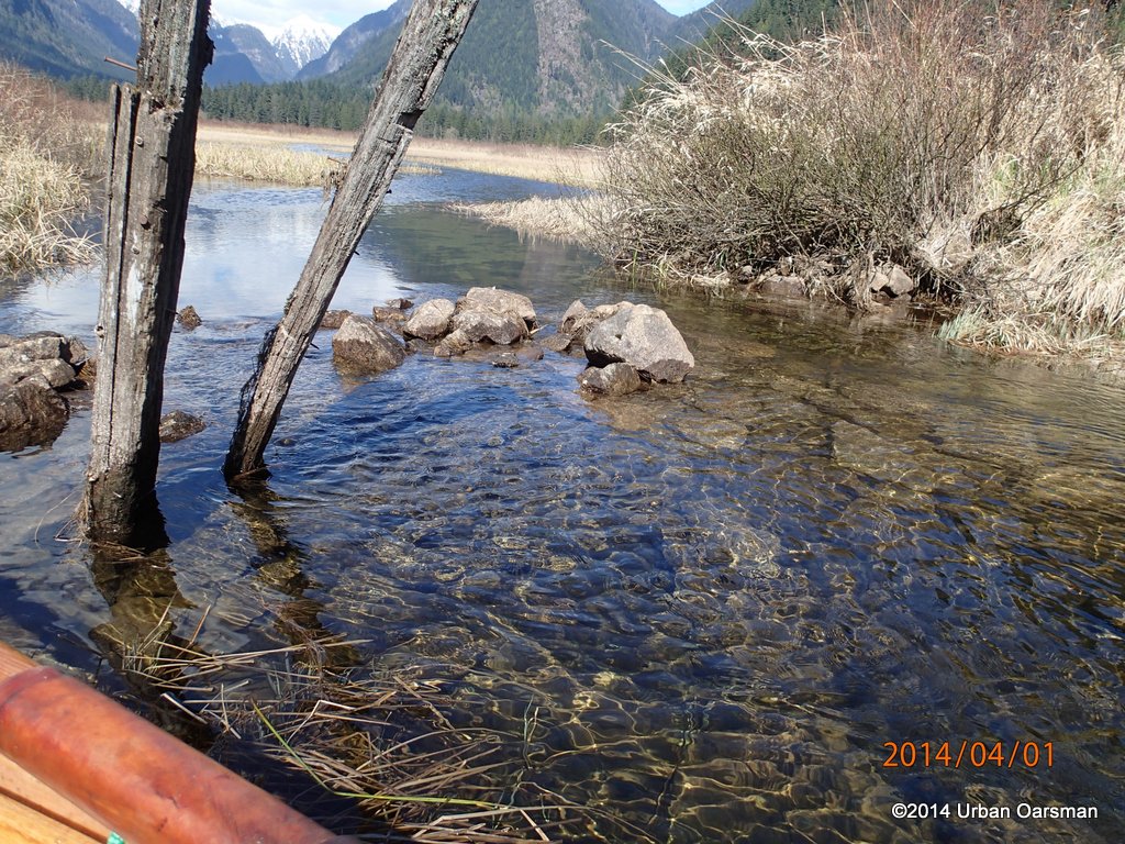
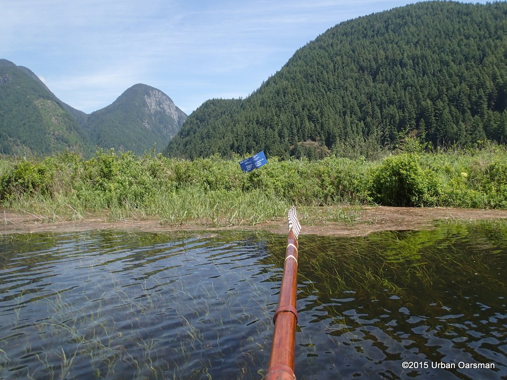
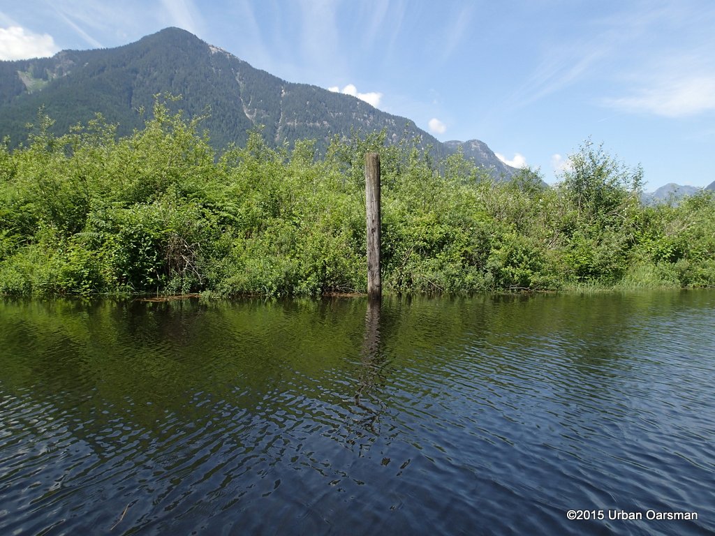
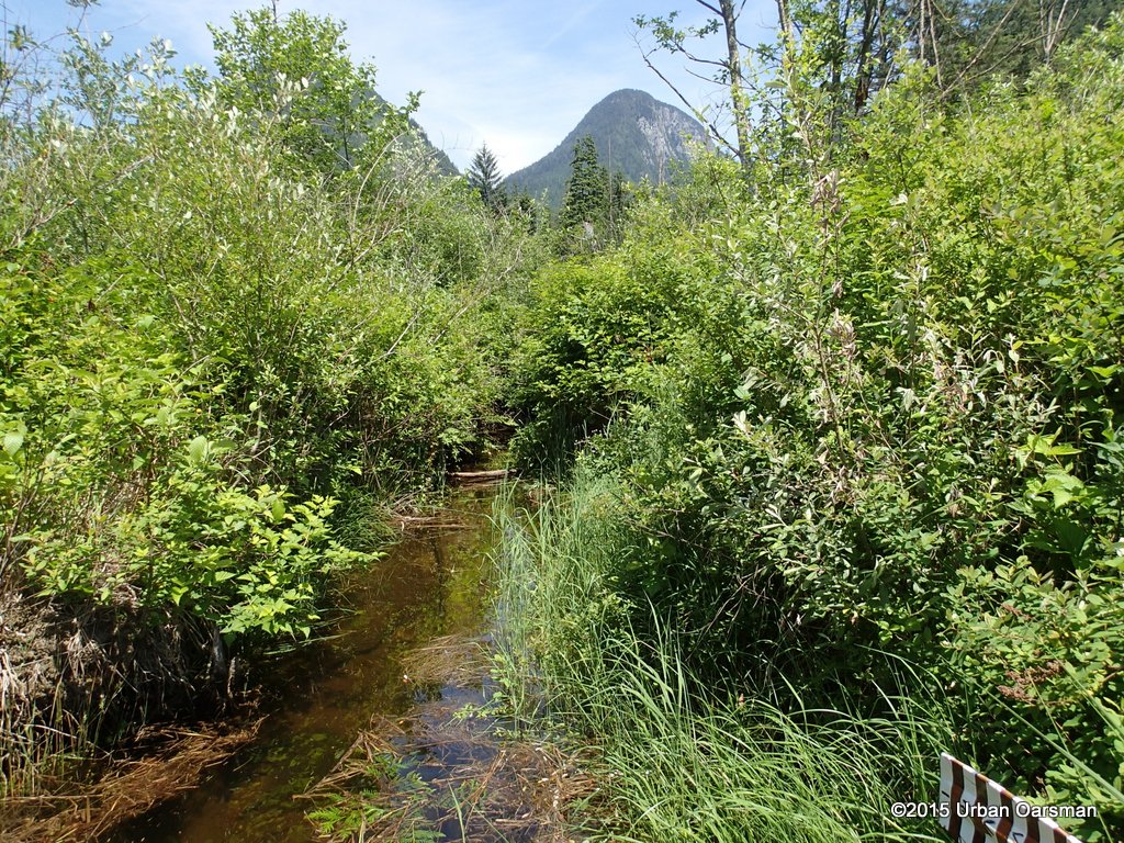
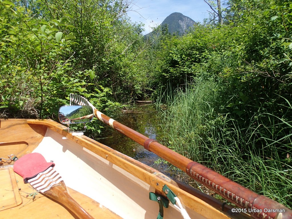
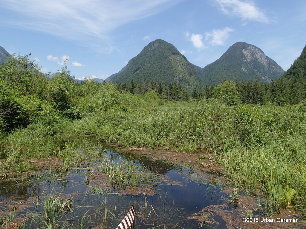
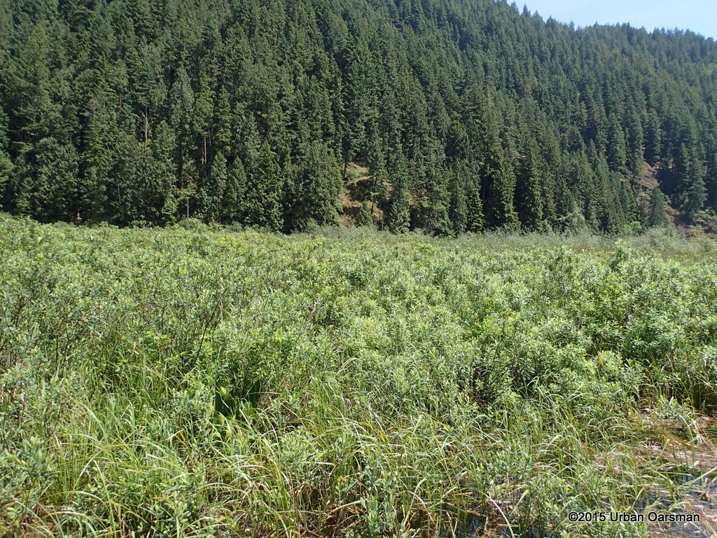
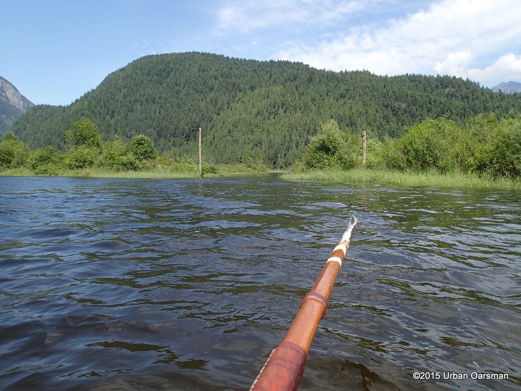
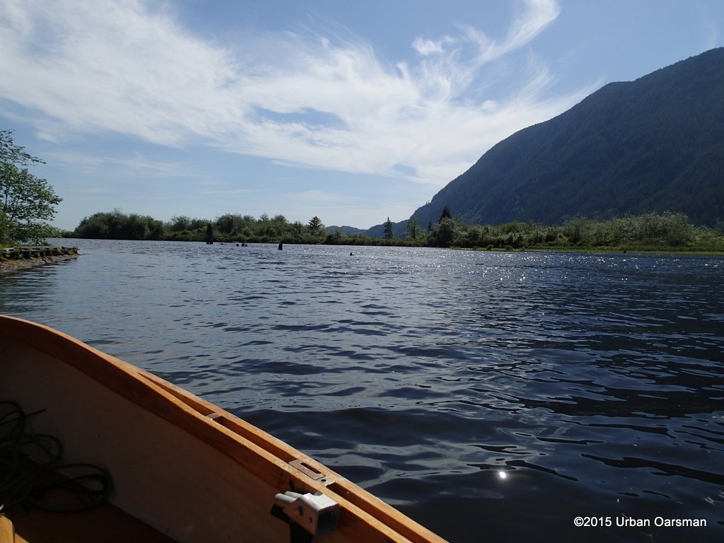
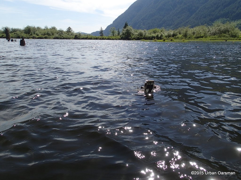
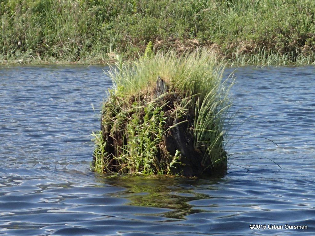
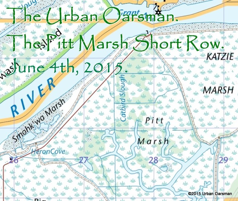
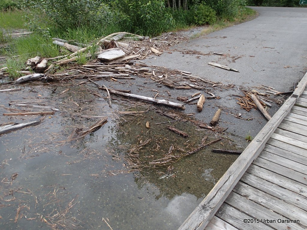
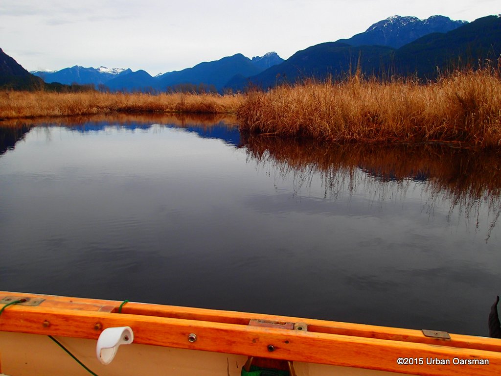
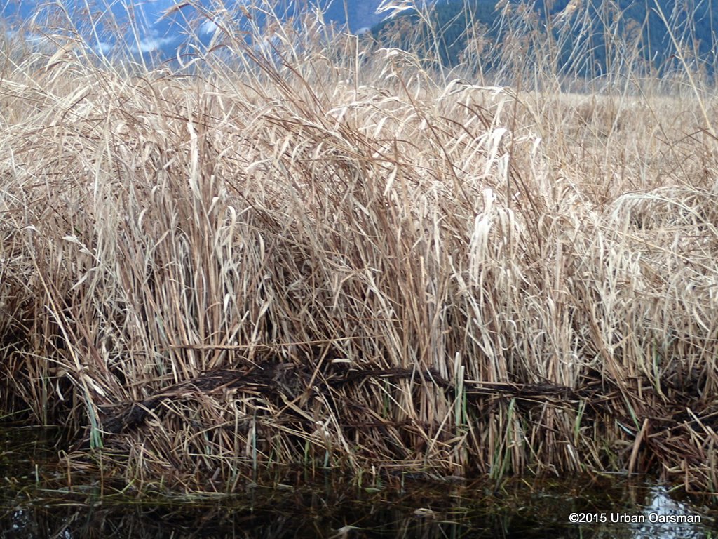
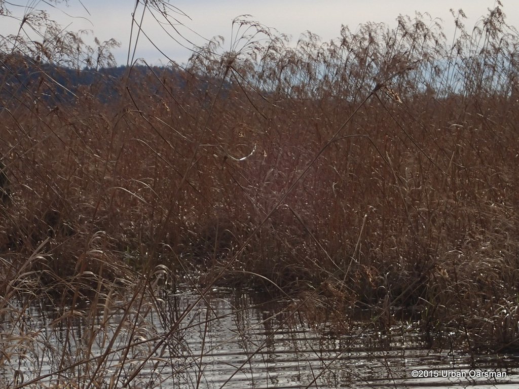
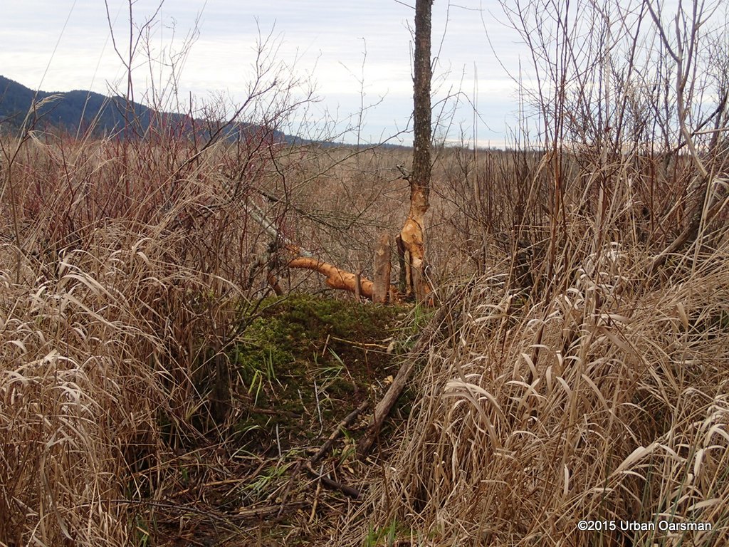
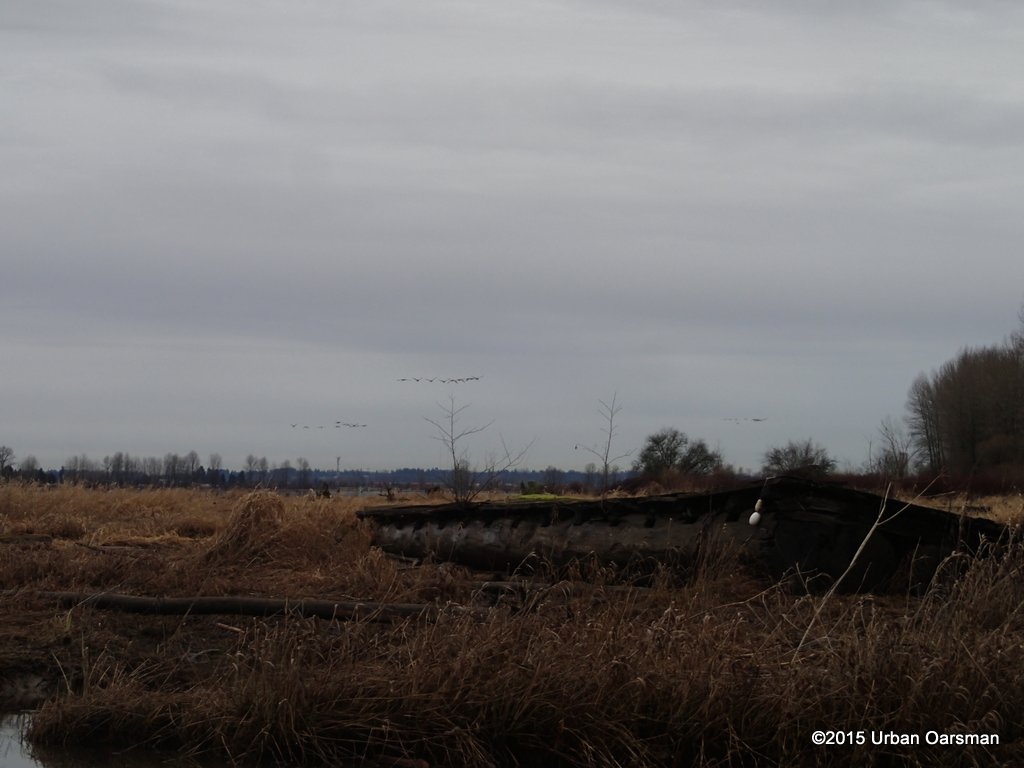
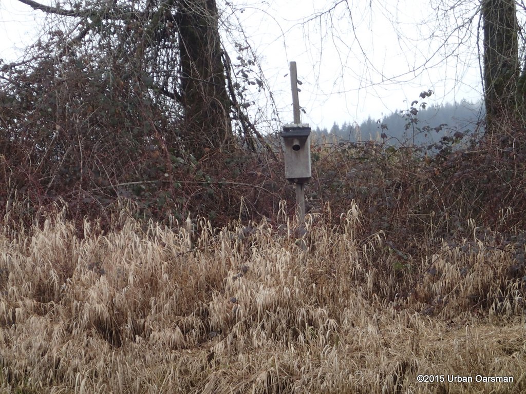
 I am mistaken. The marsh is low. There is probably two feet or more less water here than on Febuary 4th.