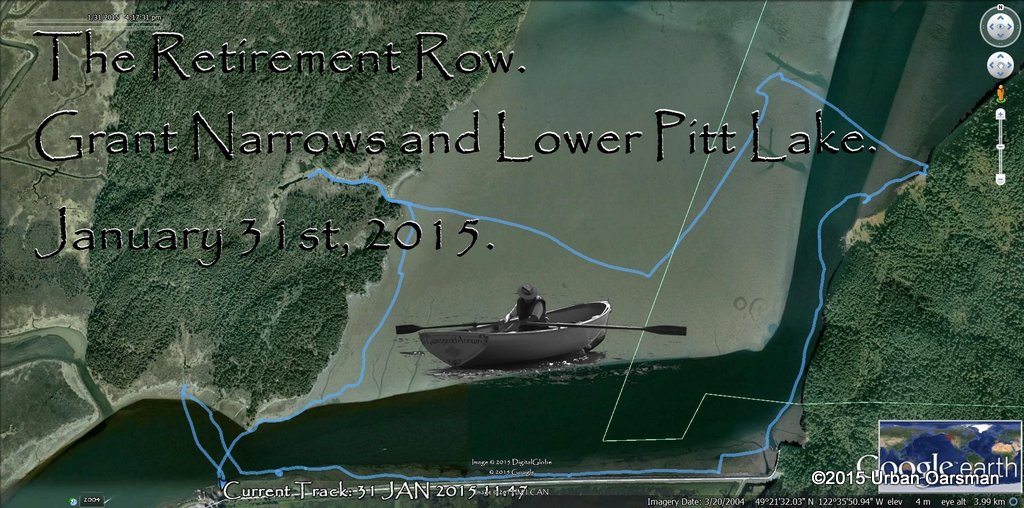
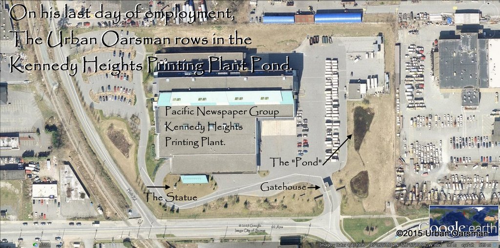
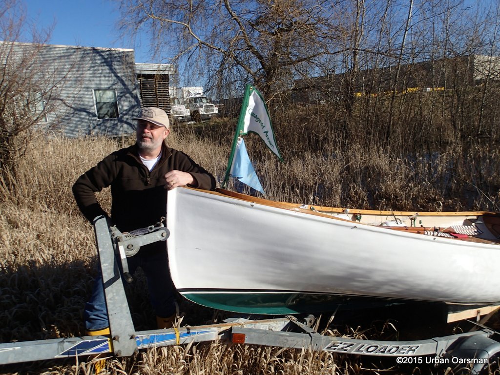
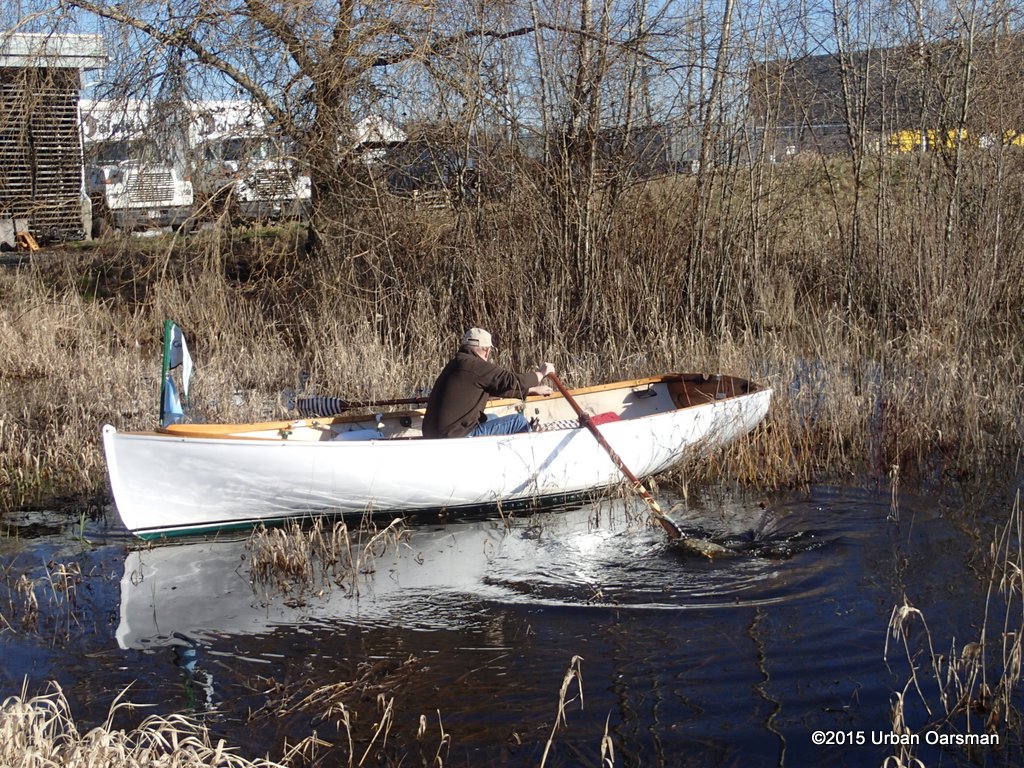
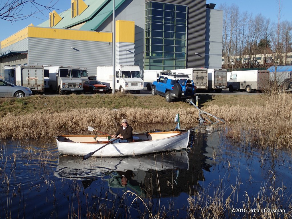
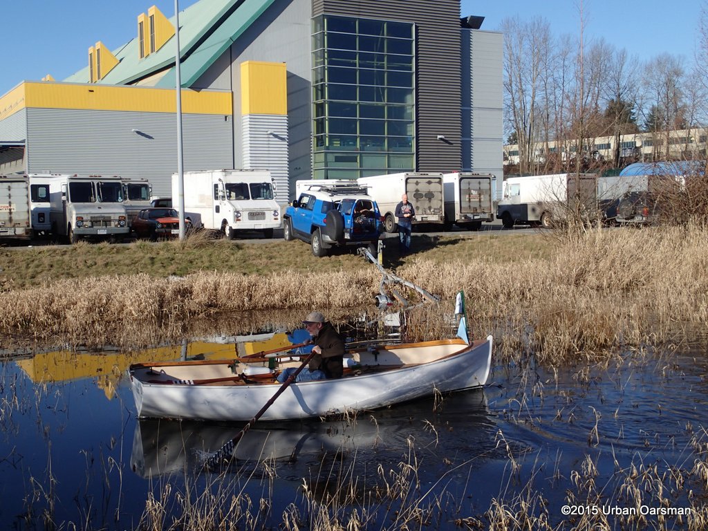
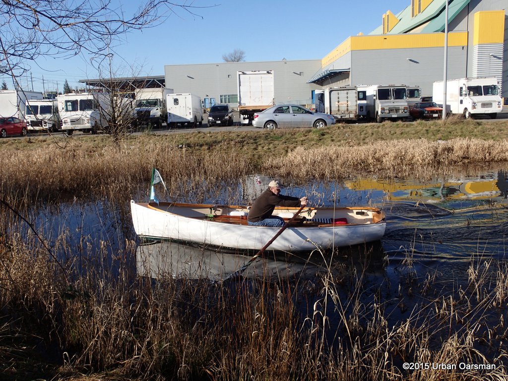
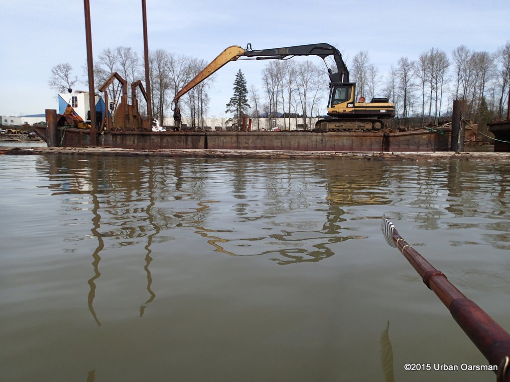
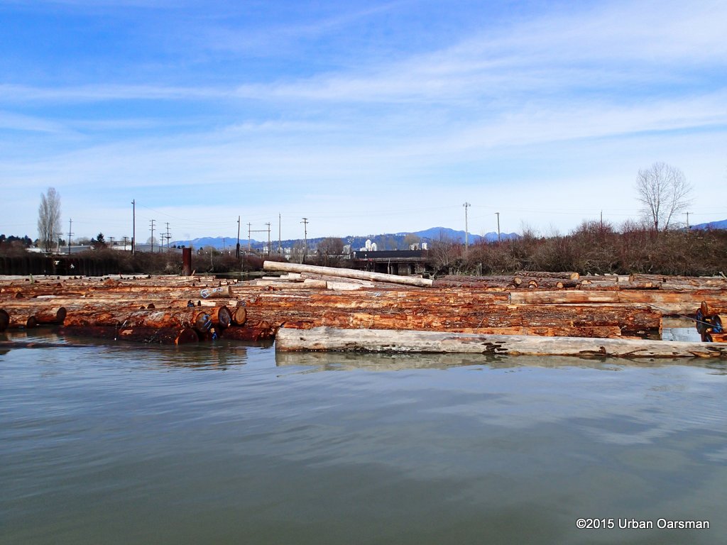
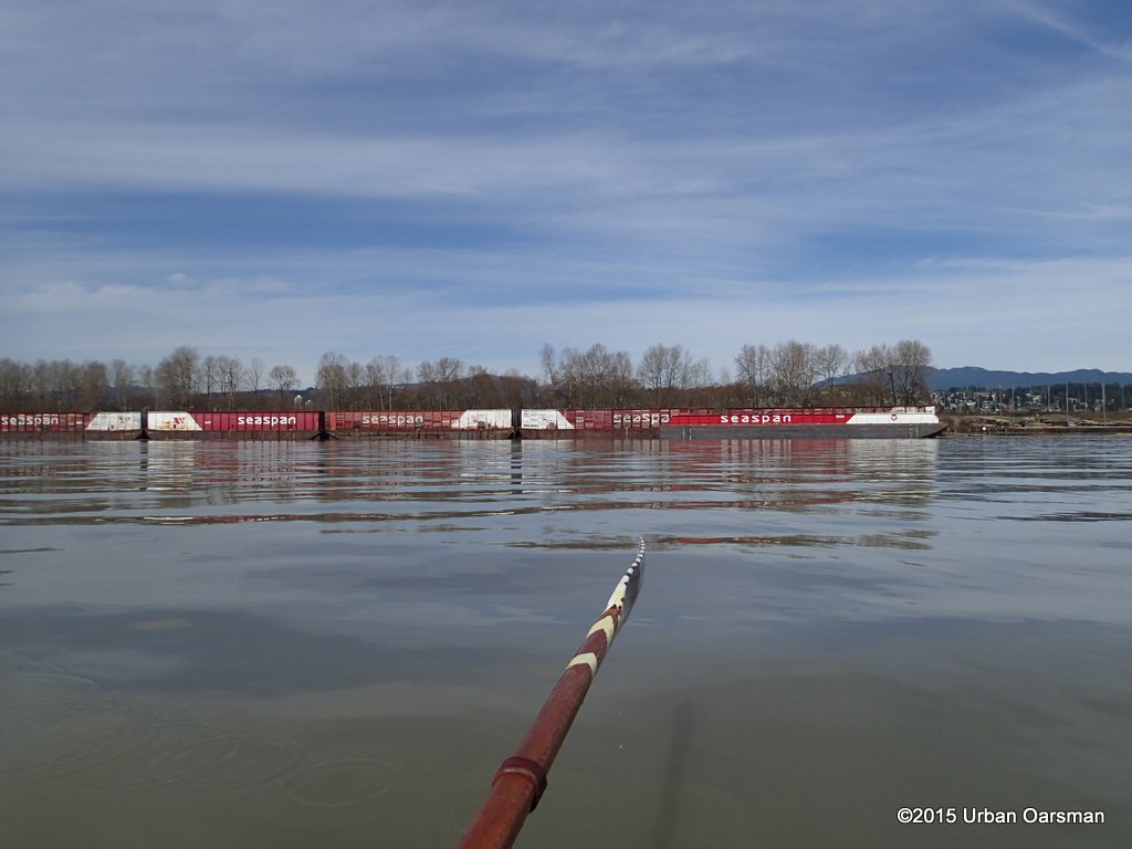
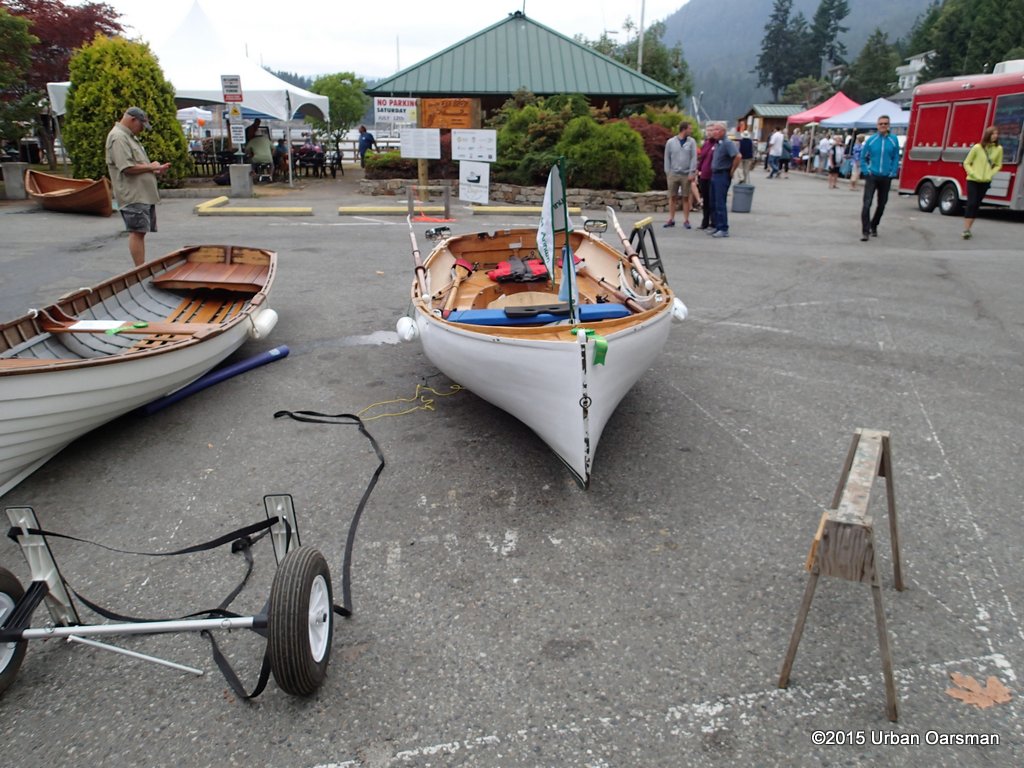
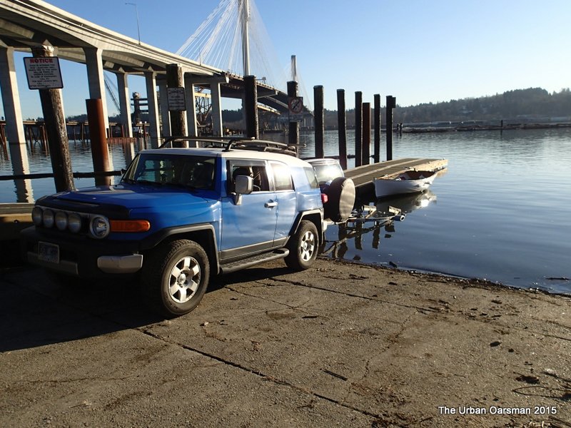
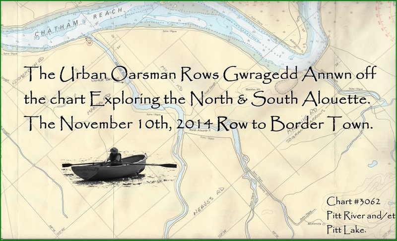
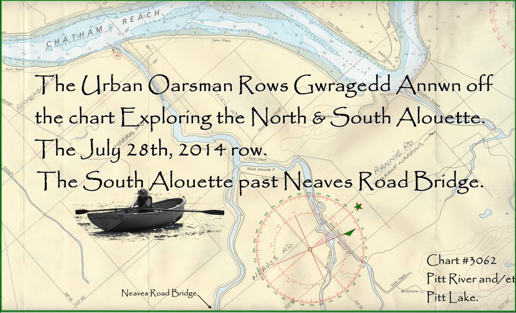
 This is the last row before The Vancouver Sun & Province Kennedy Heights Printing Plant shuts down and I retire.
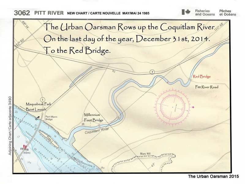
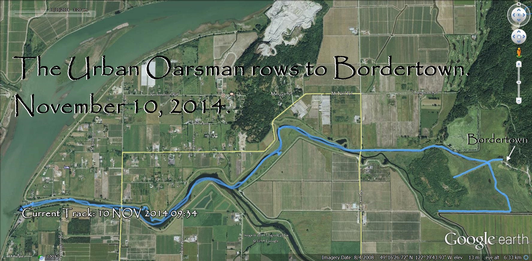
I have worked my last shift. Today is the last day of the plant. A good day to go rowing.
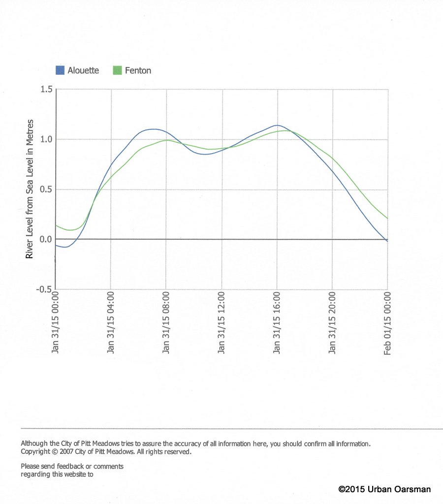
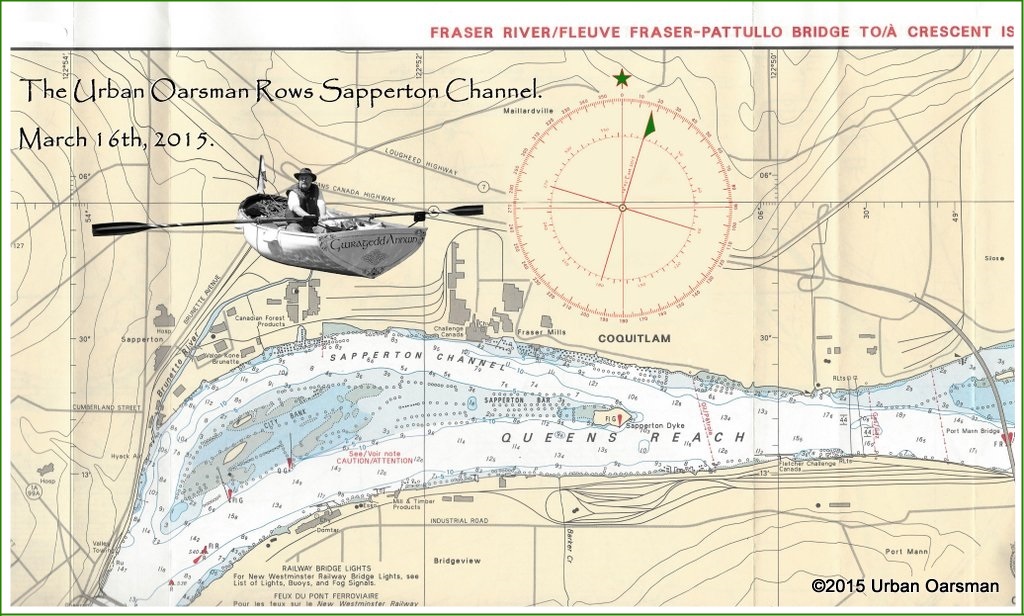
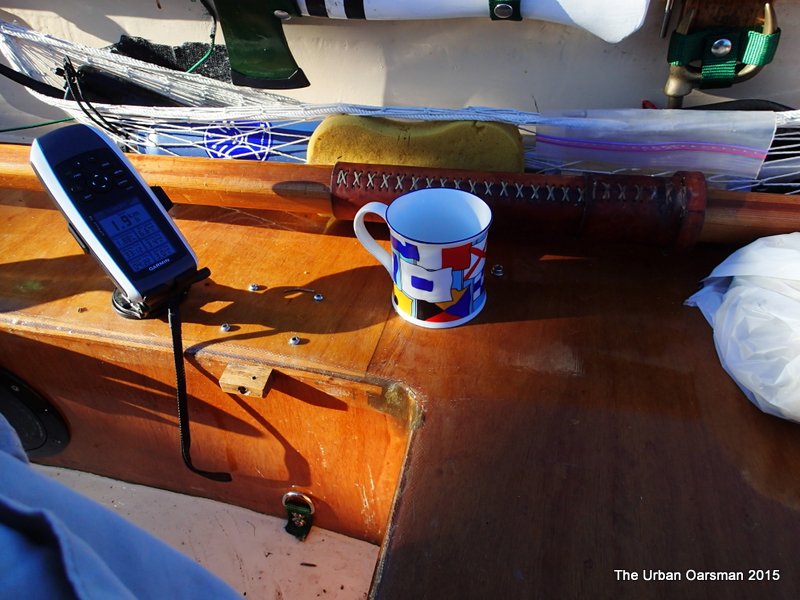
High water and not much tide change for the row.
This is the tide chart for the Pitt River (Fenton):
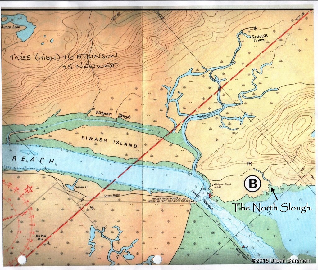
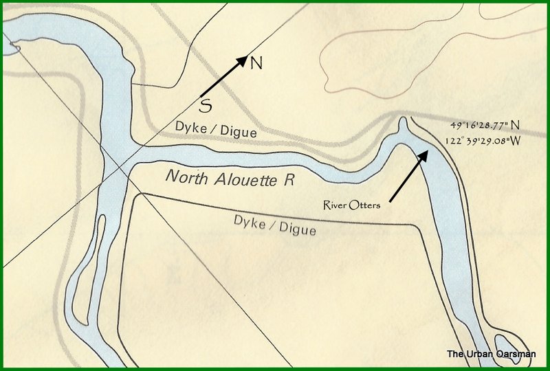
 This close-up of the chart shows the small slough I hope to explore, North of Grant Narrows Point. The chart shows the slough connecting back to Grant Narrows NW of the Widgeon Creek Lodge. I hope to row around the point.
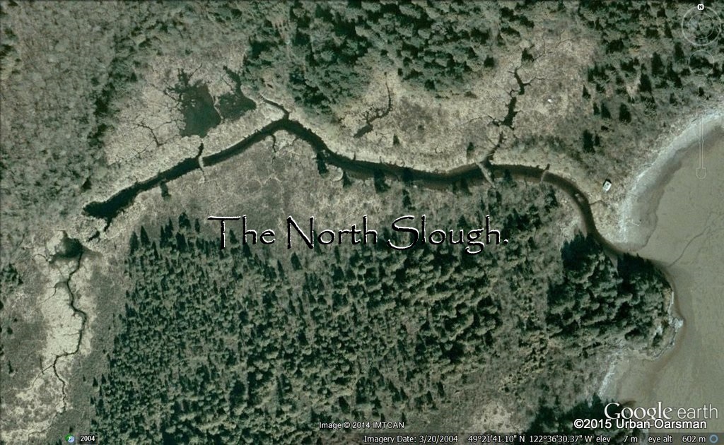
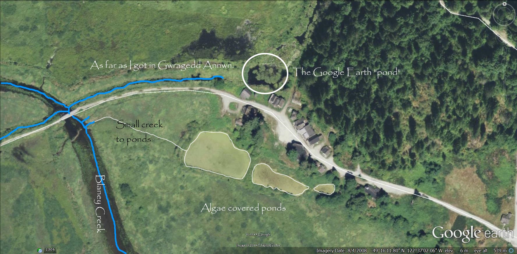
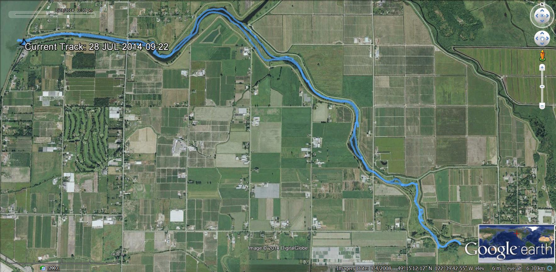
Google Earth picture of the North Slough.
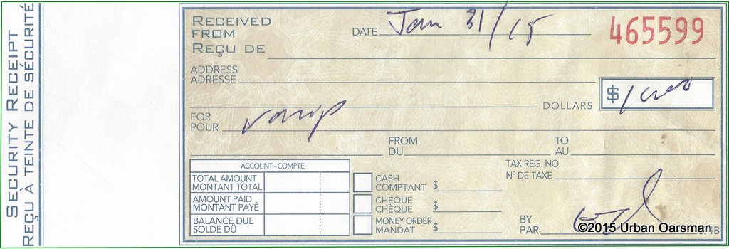
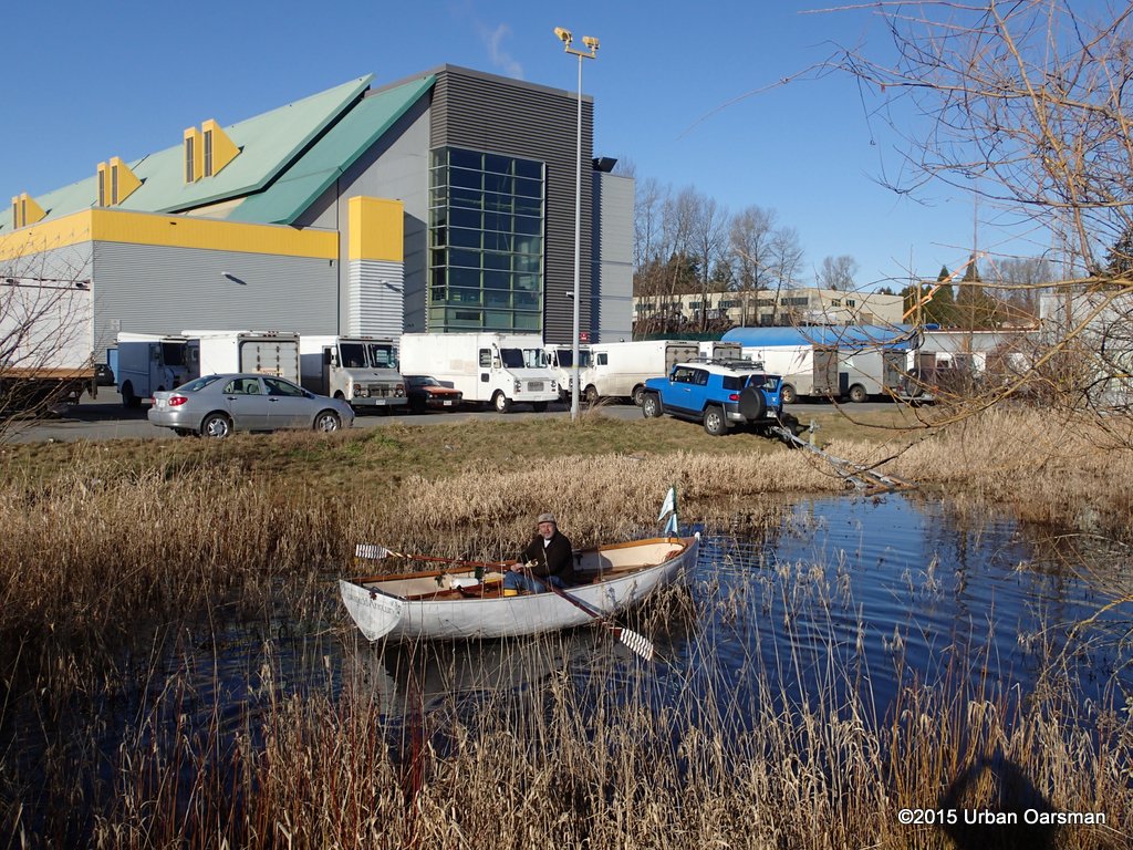
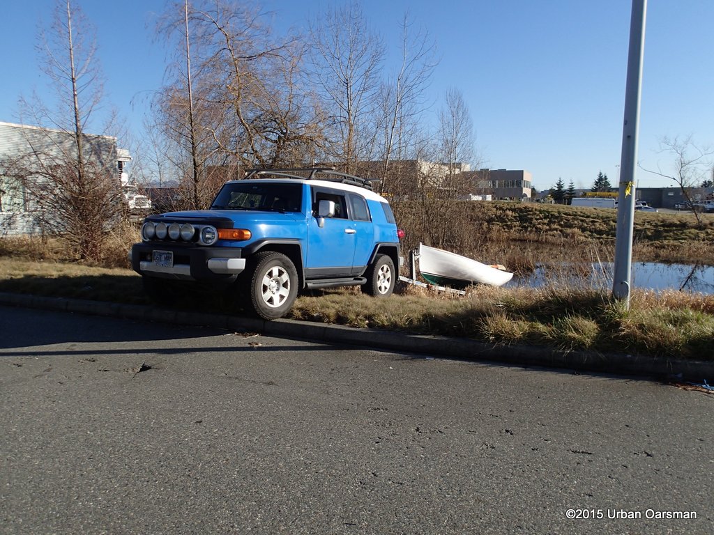
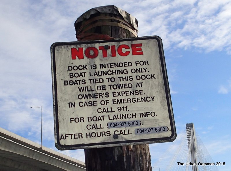
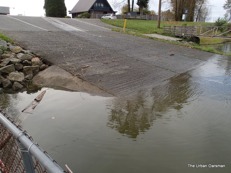
My reciept for the boat launch. A bargain at $10.00
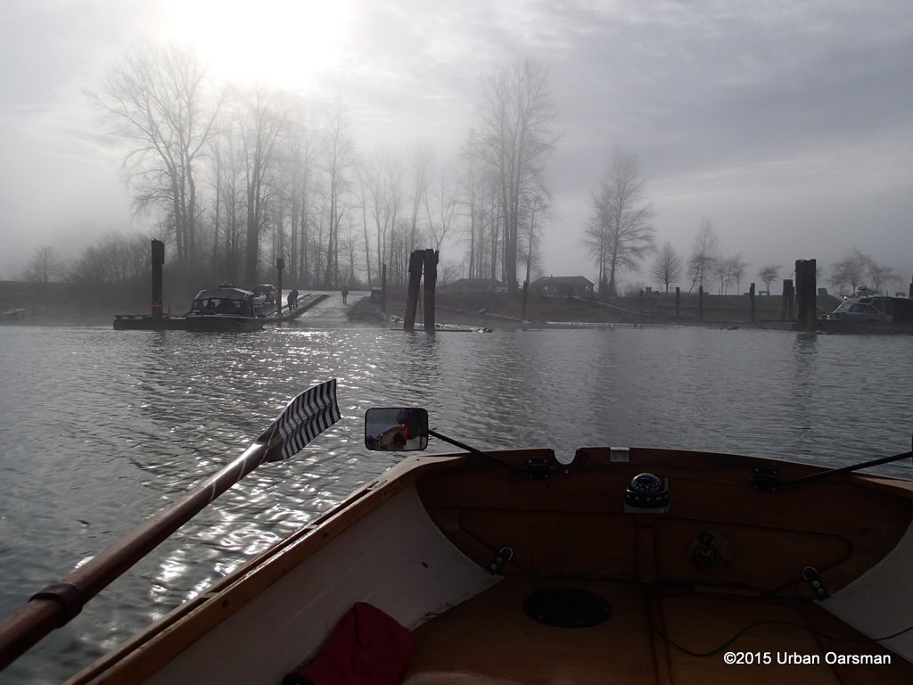
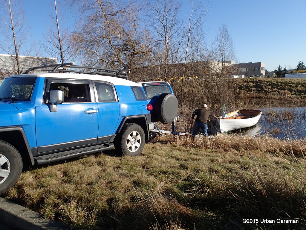
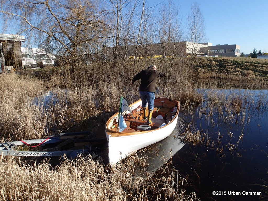
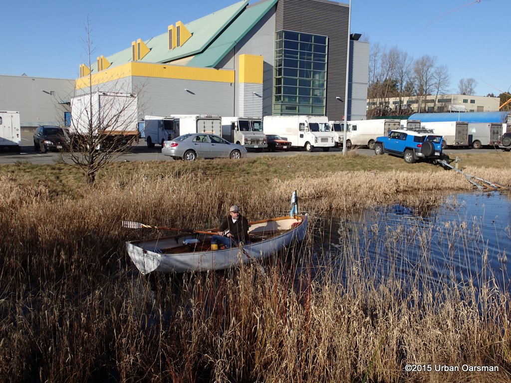
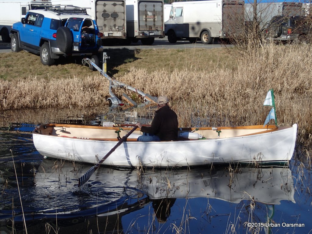
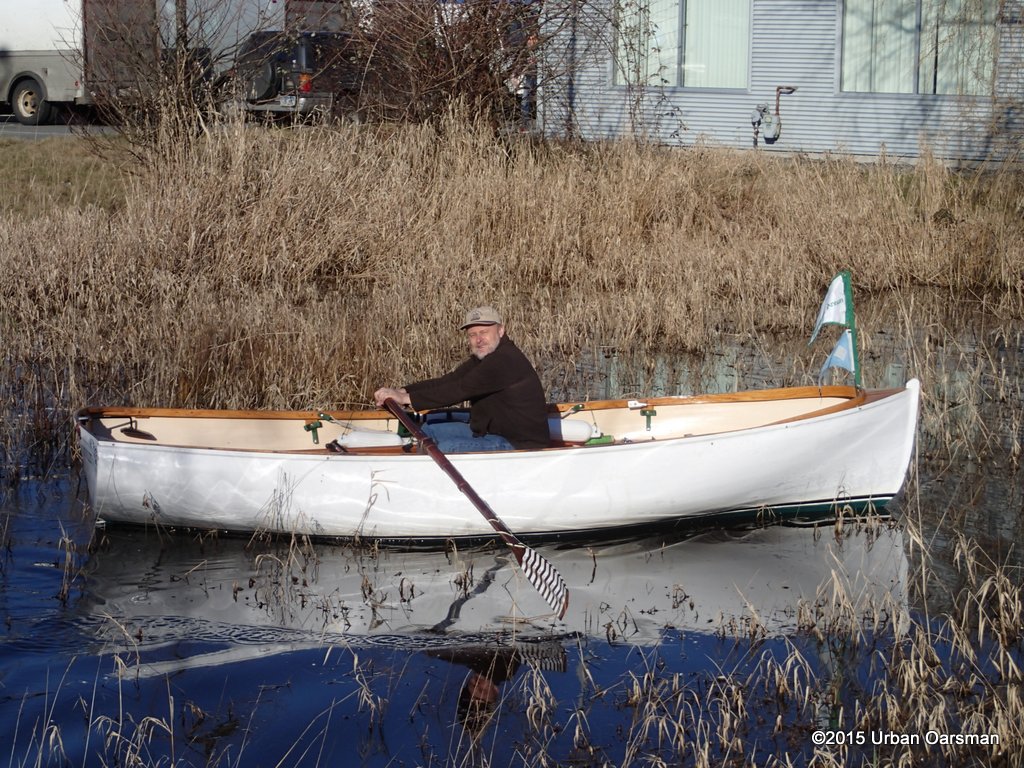
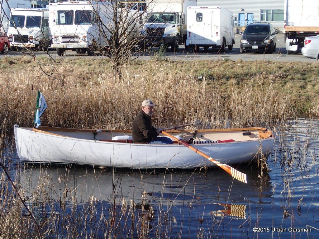
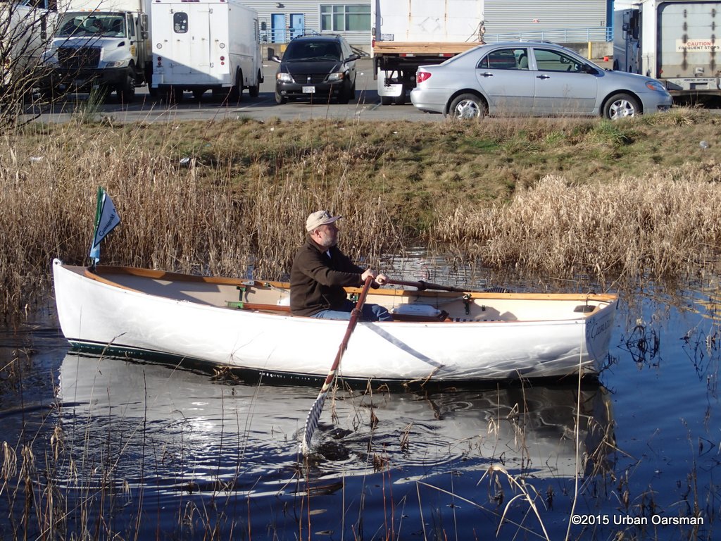
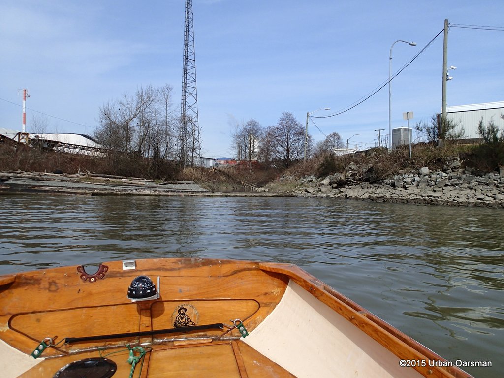
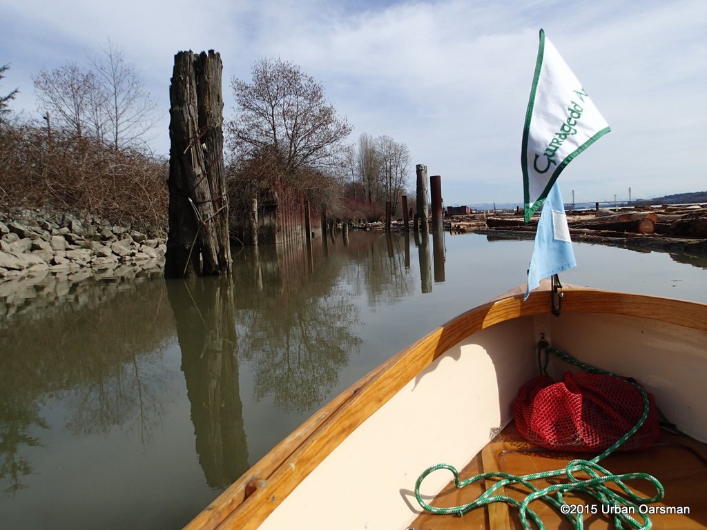
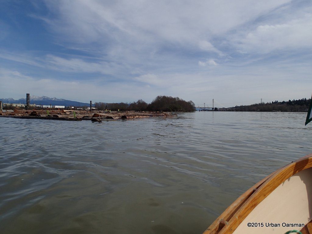
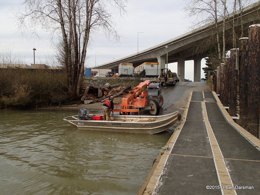
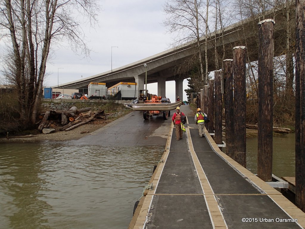
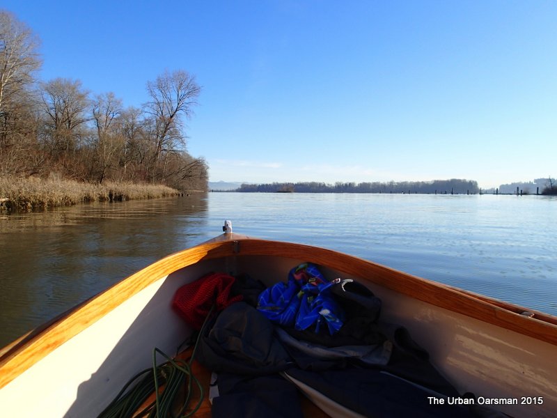
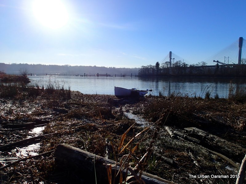
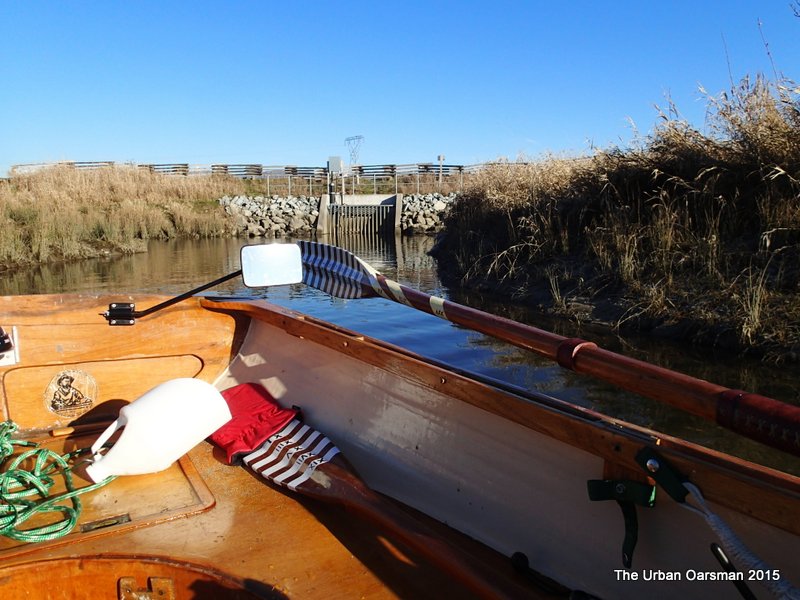
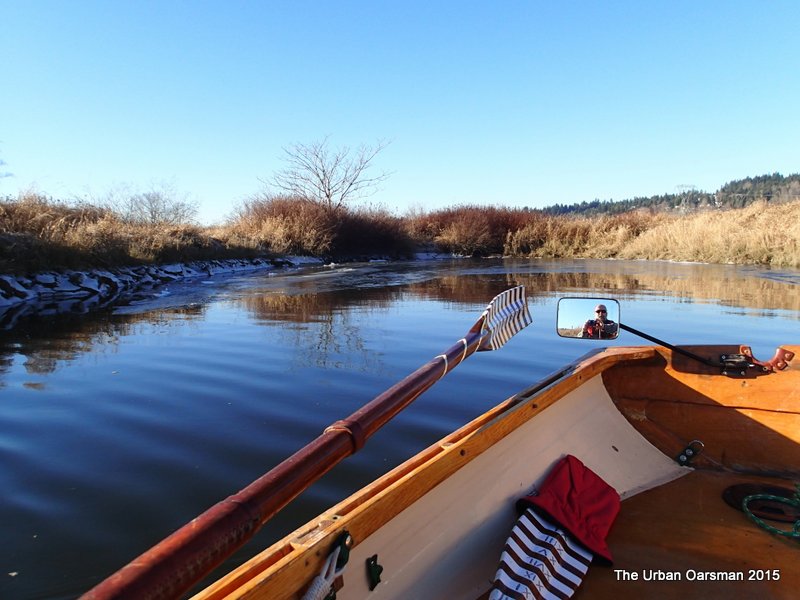
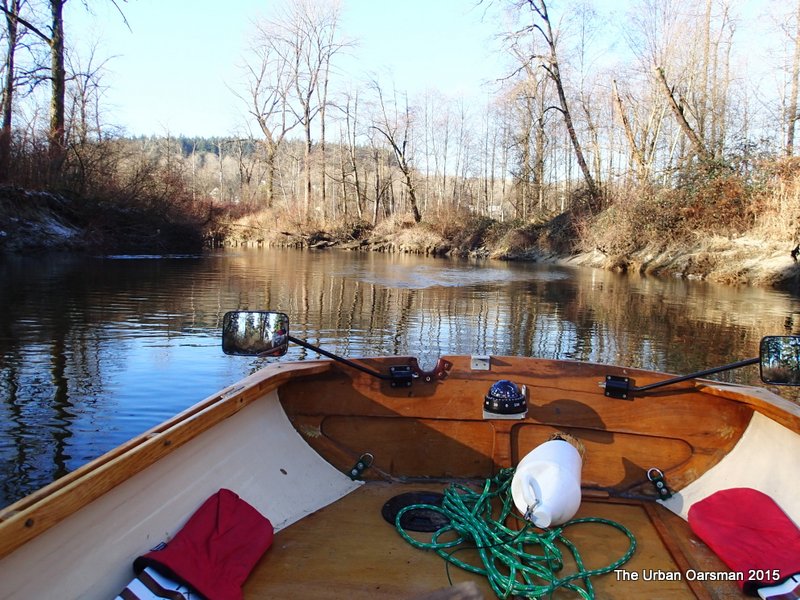
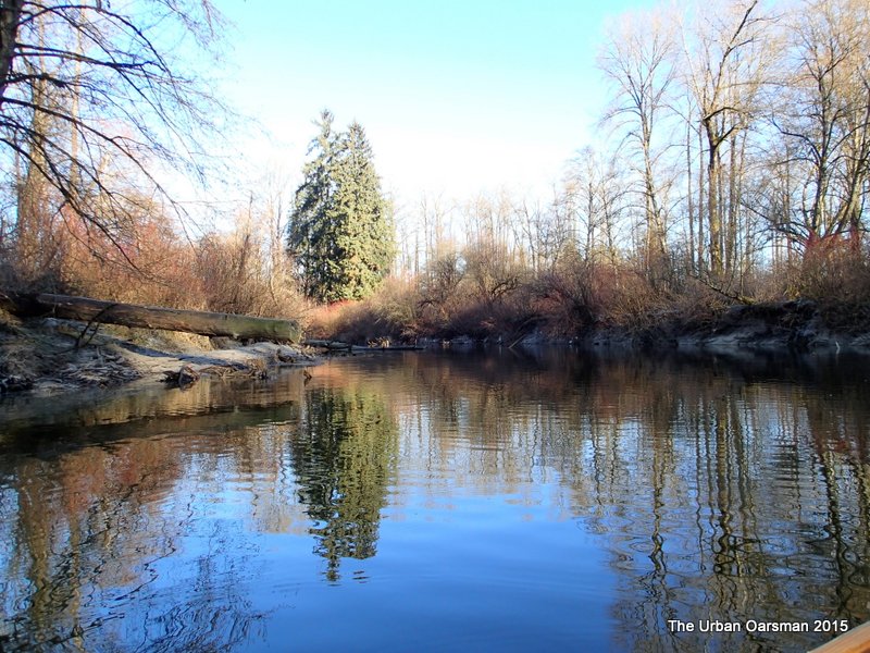
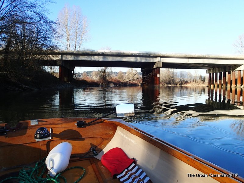
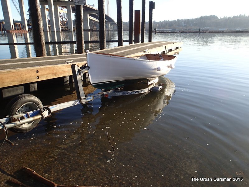
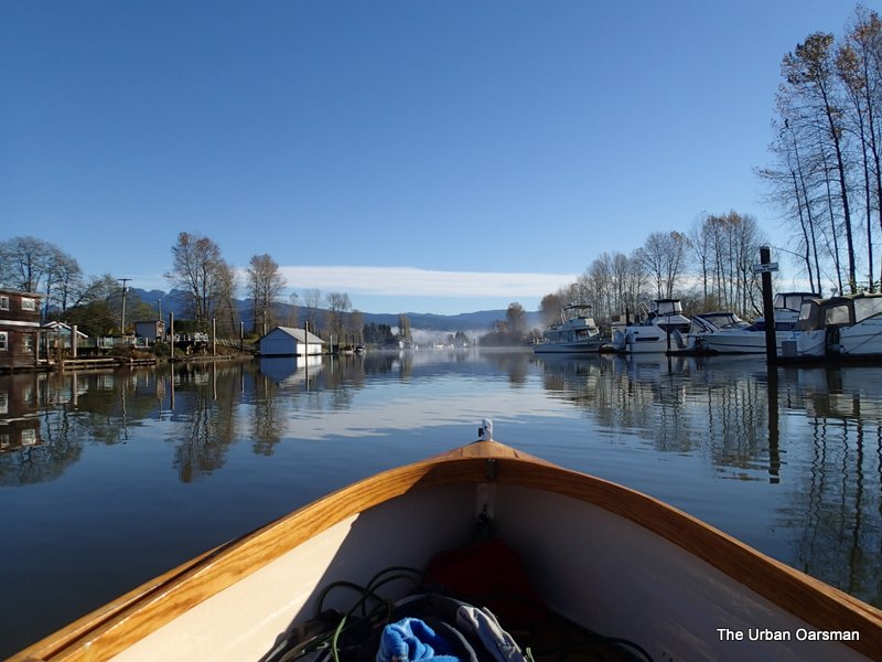
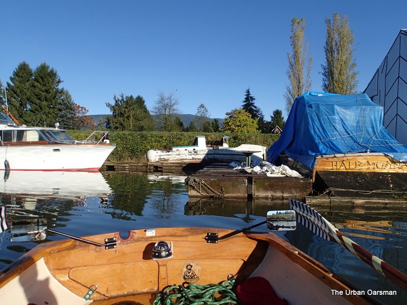
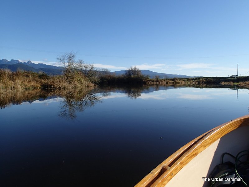
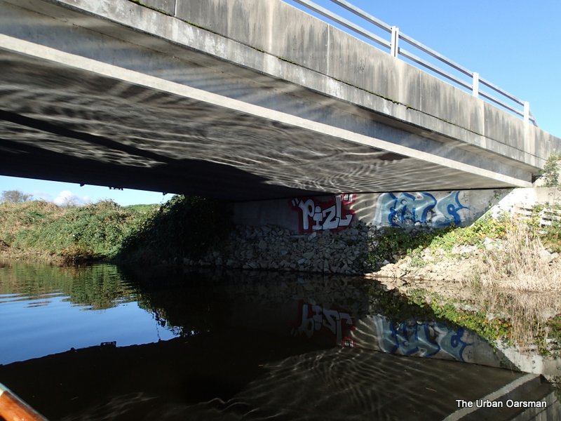
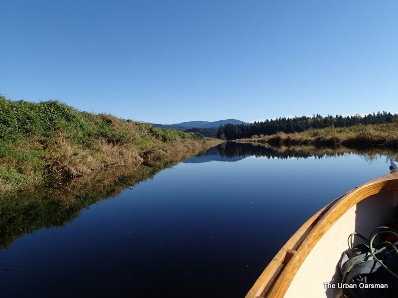
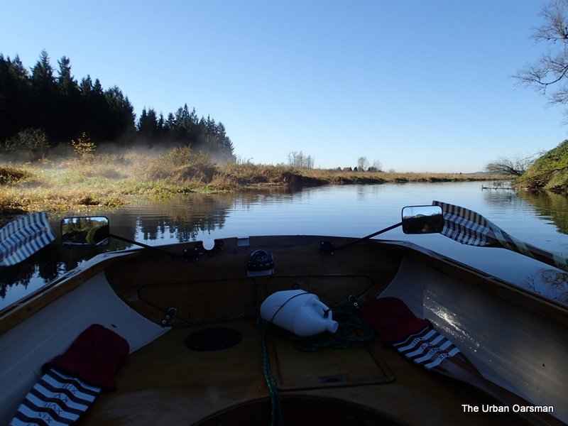
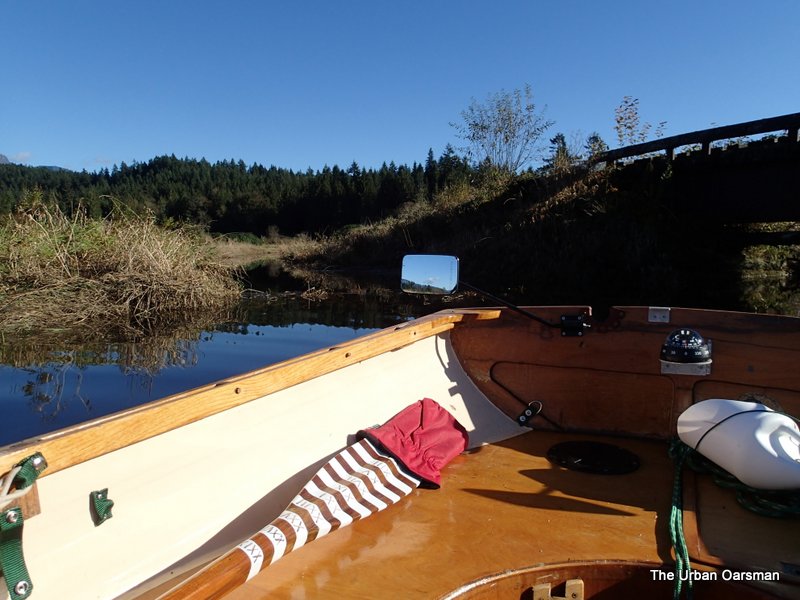
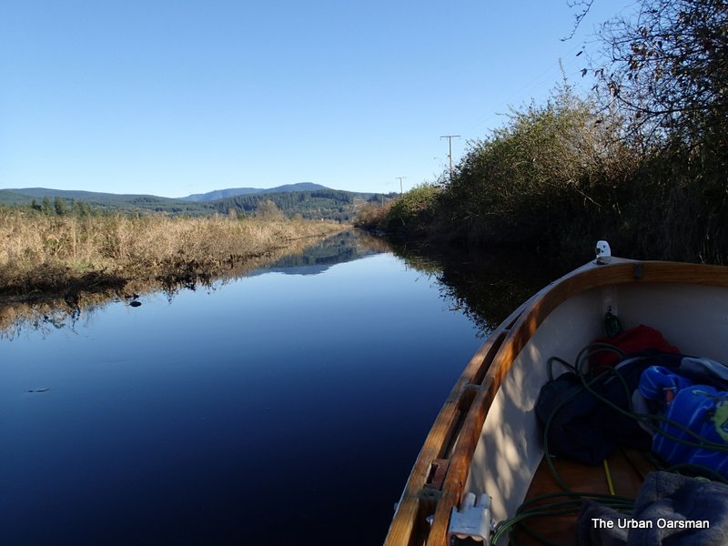
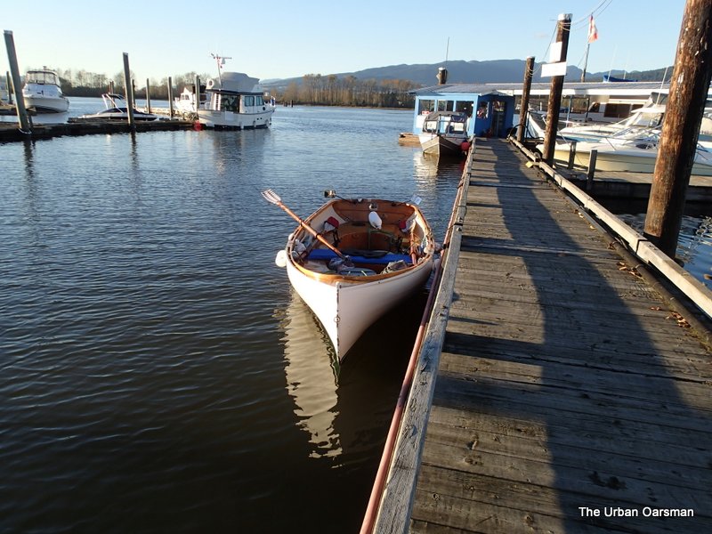
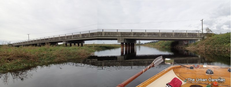
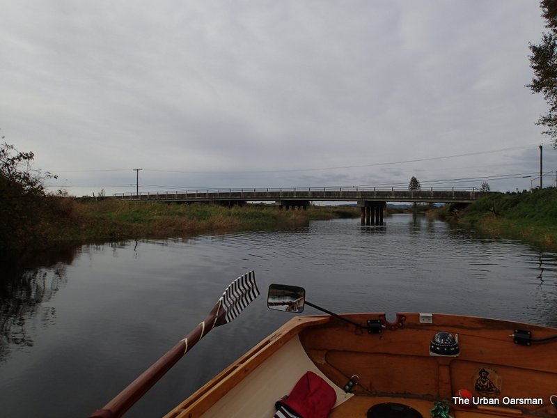
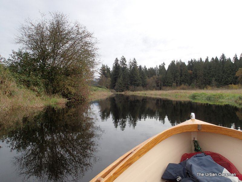
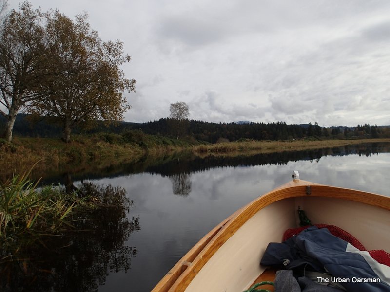
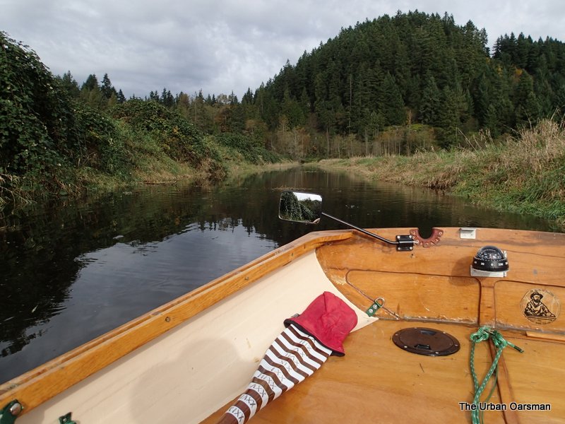
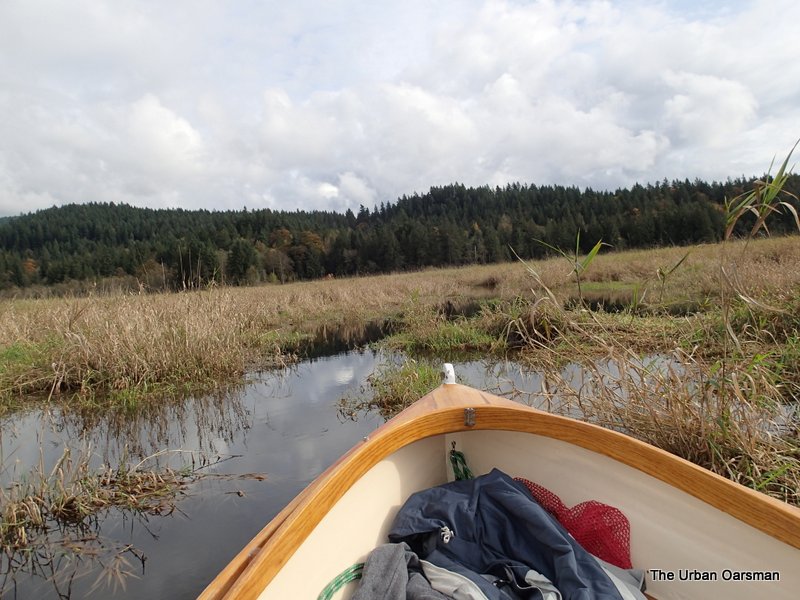
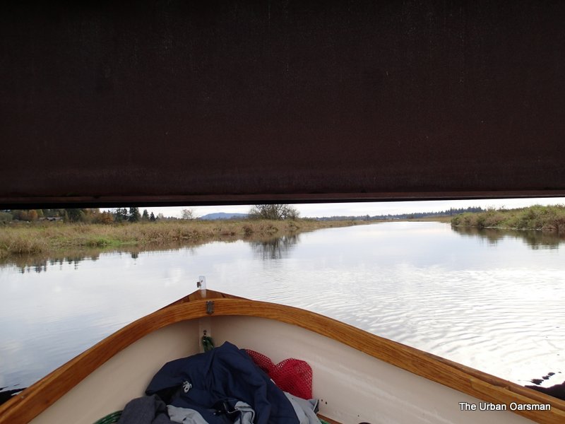
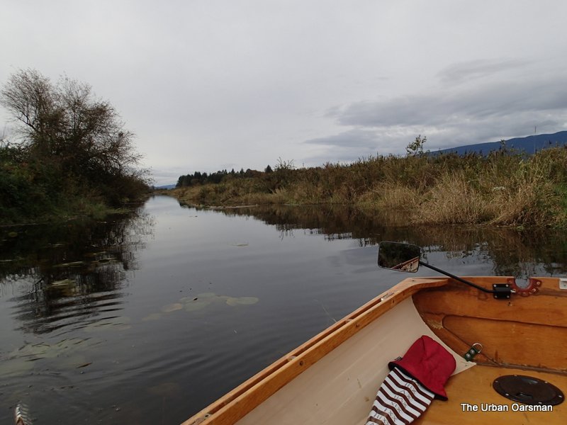
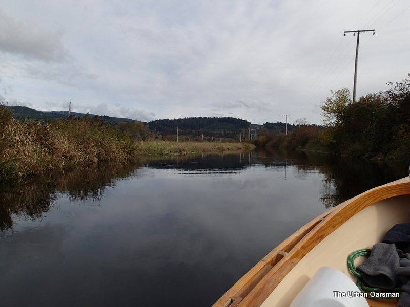
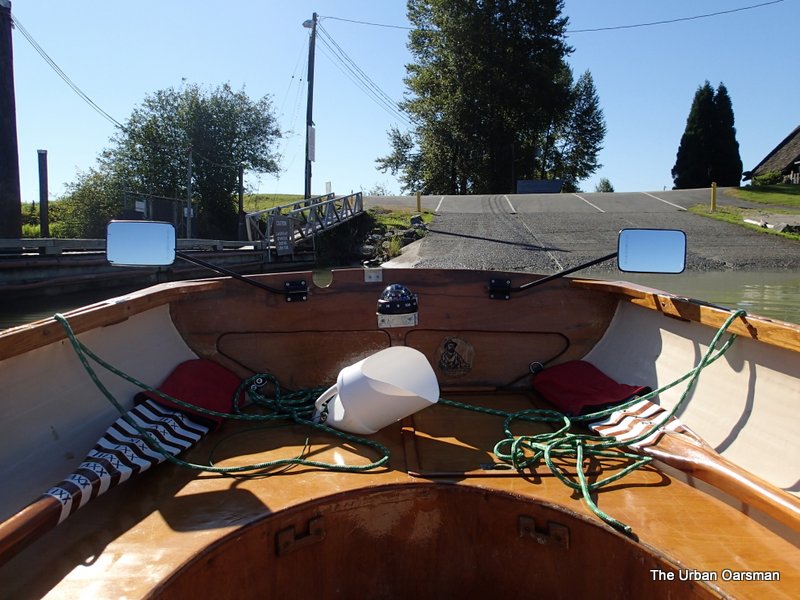
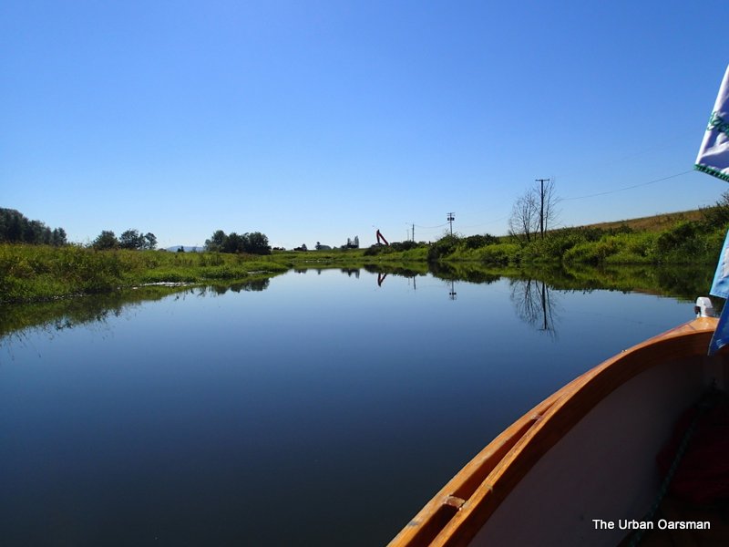
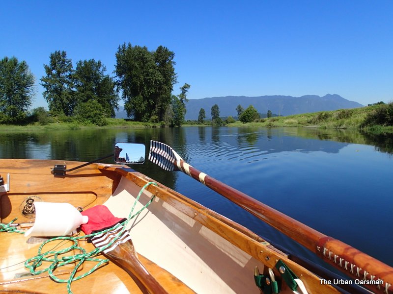
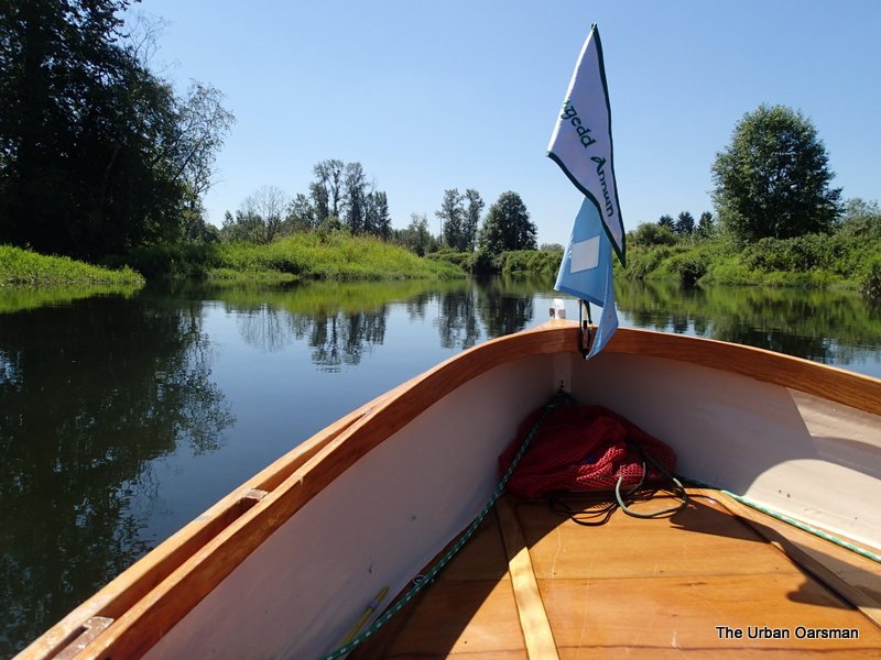
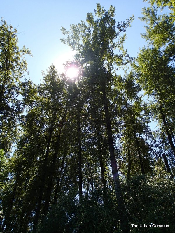
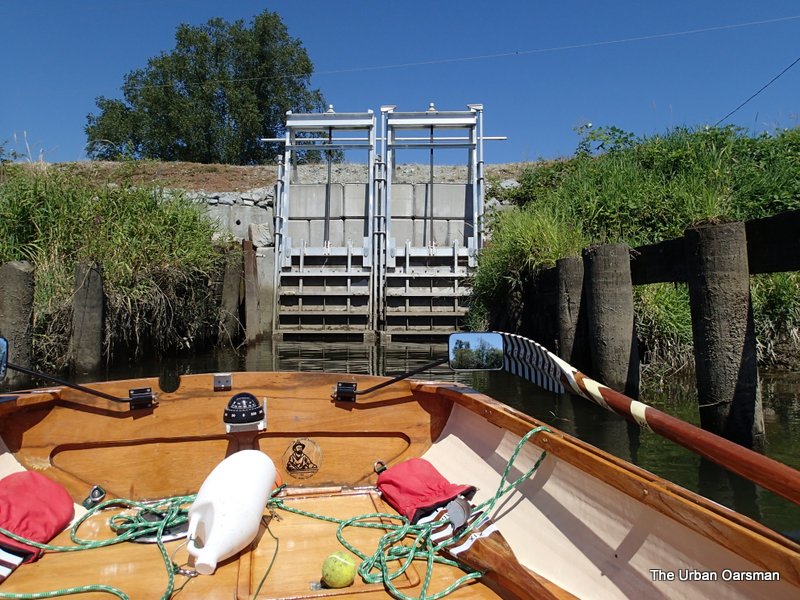
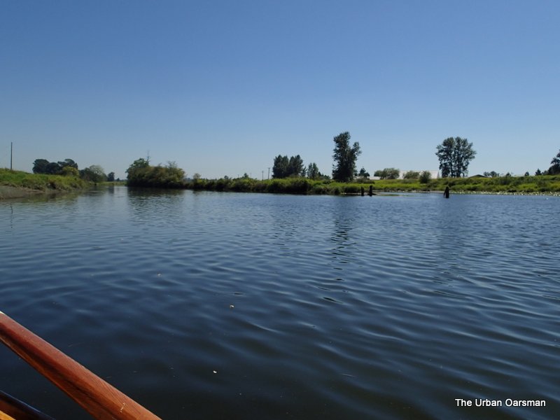
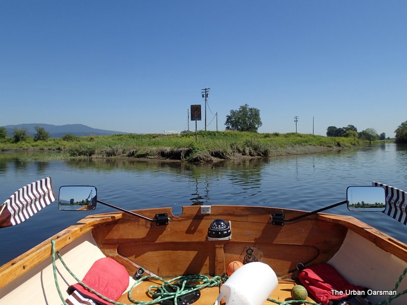
Rowing away from the boat launch
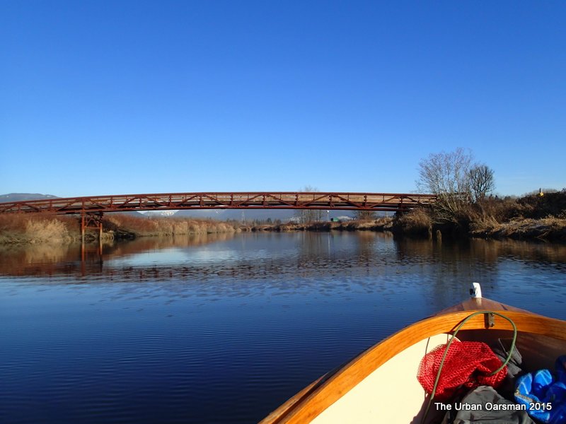
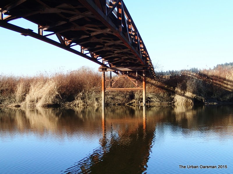
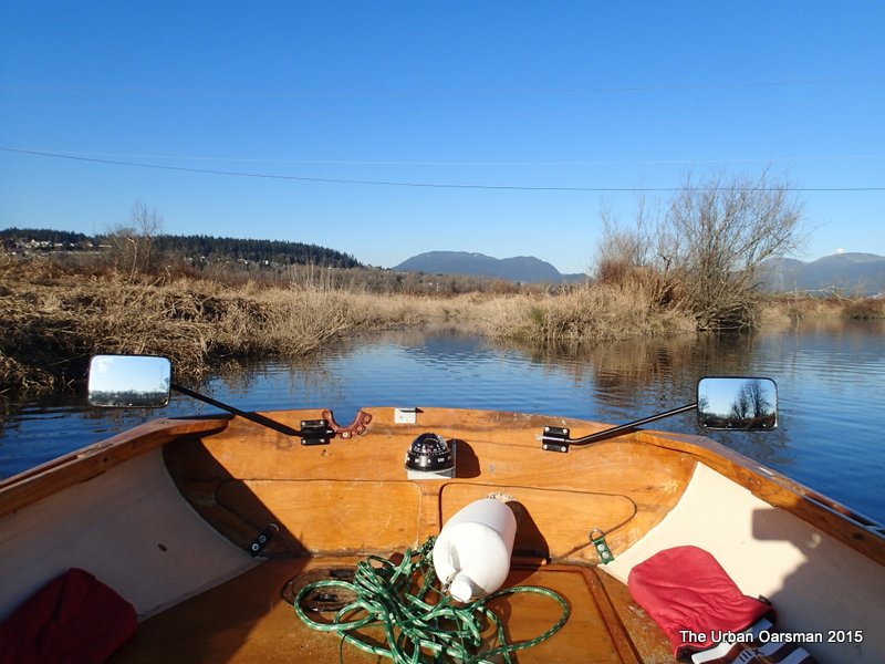
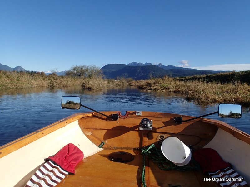
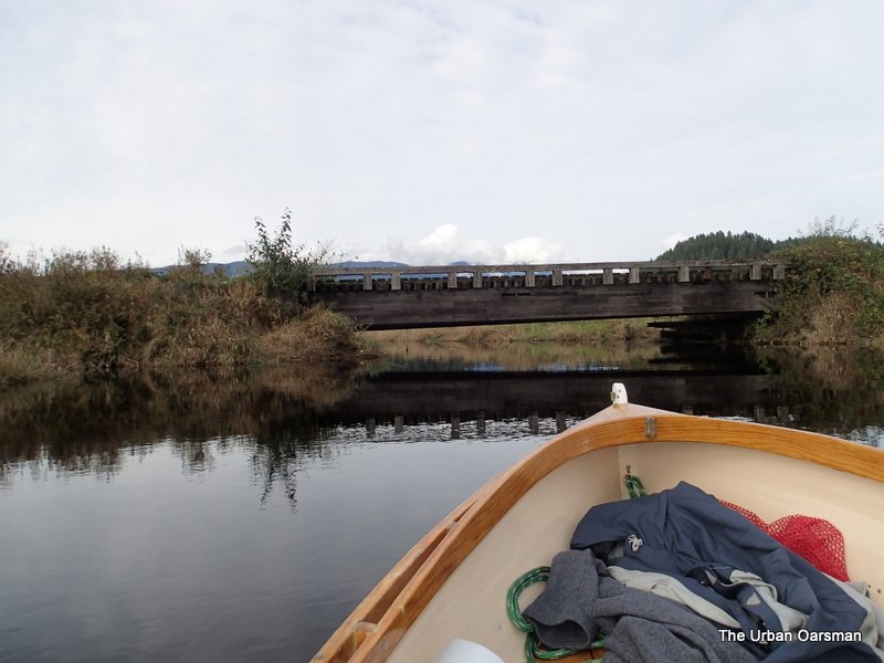
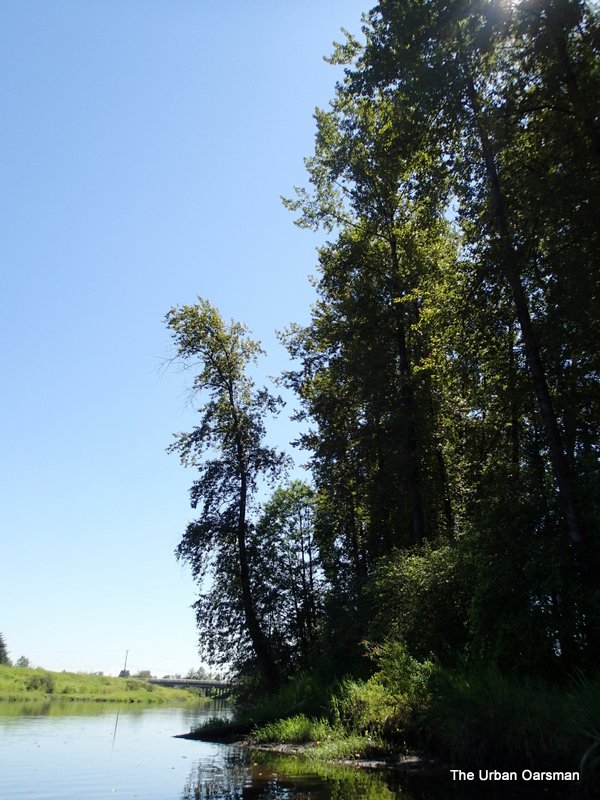
I will head across Grant Narrows to the Point. 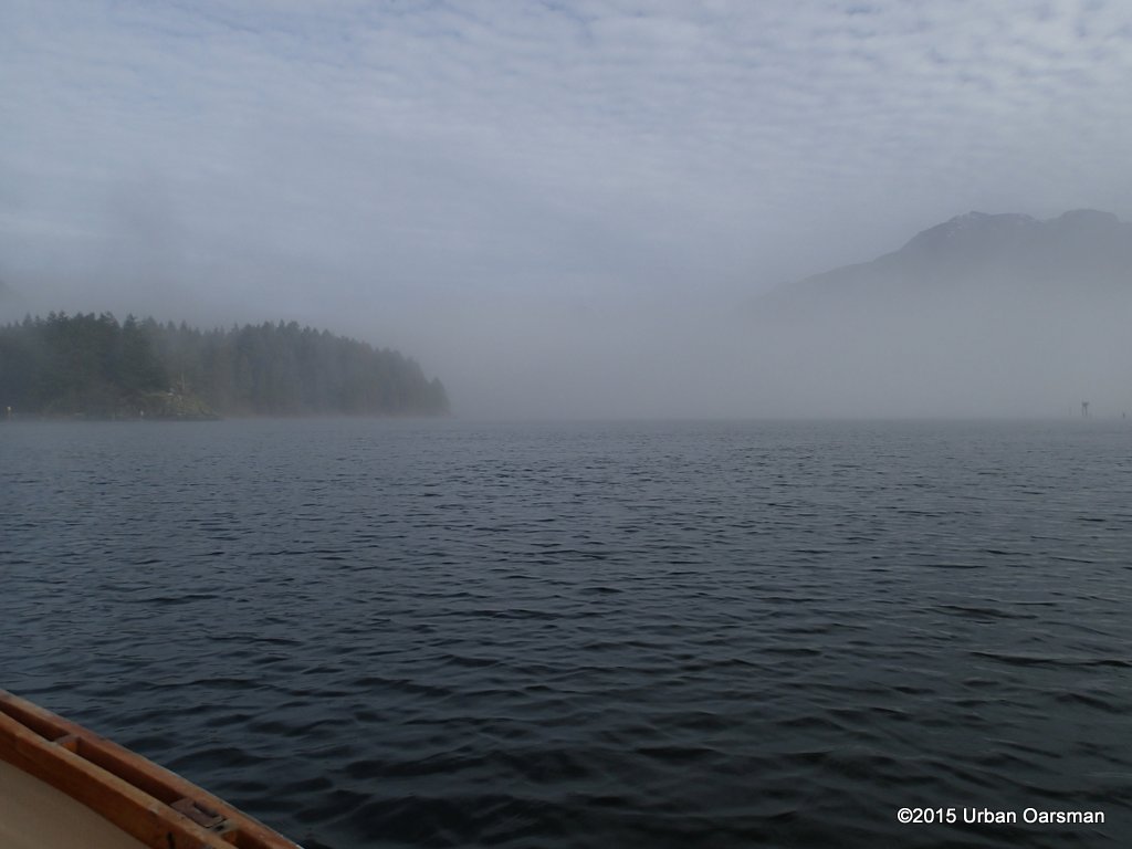
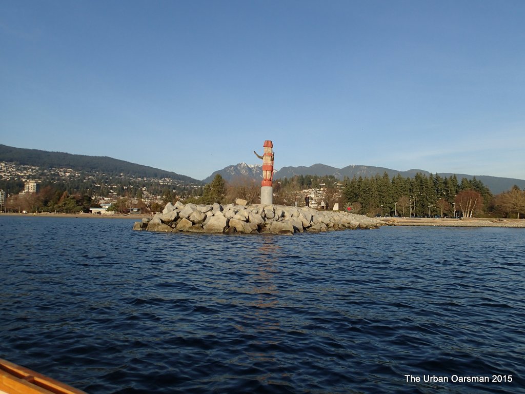
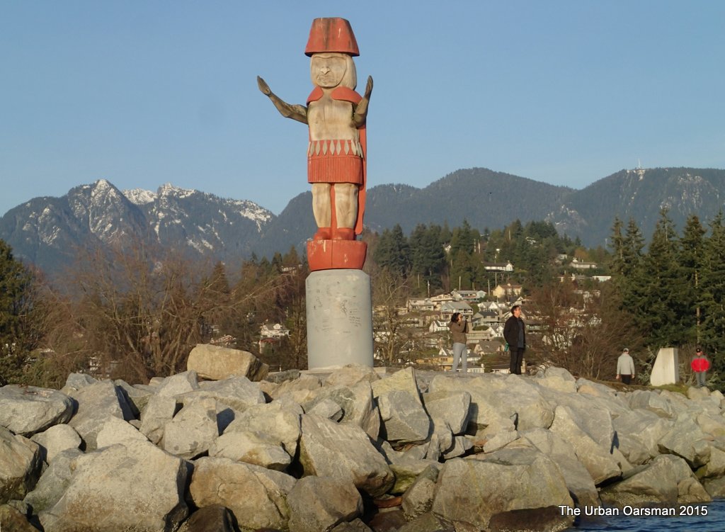
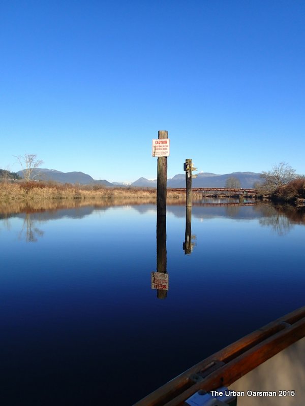
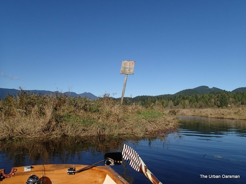
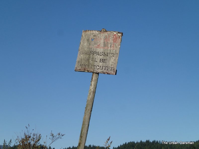
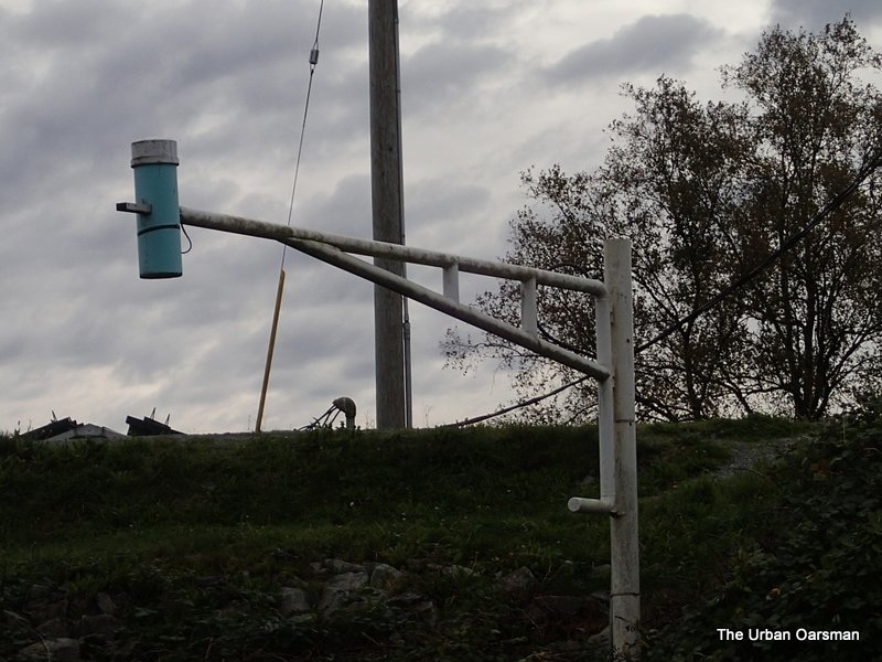
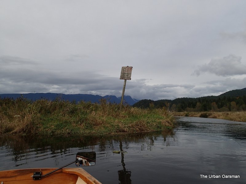
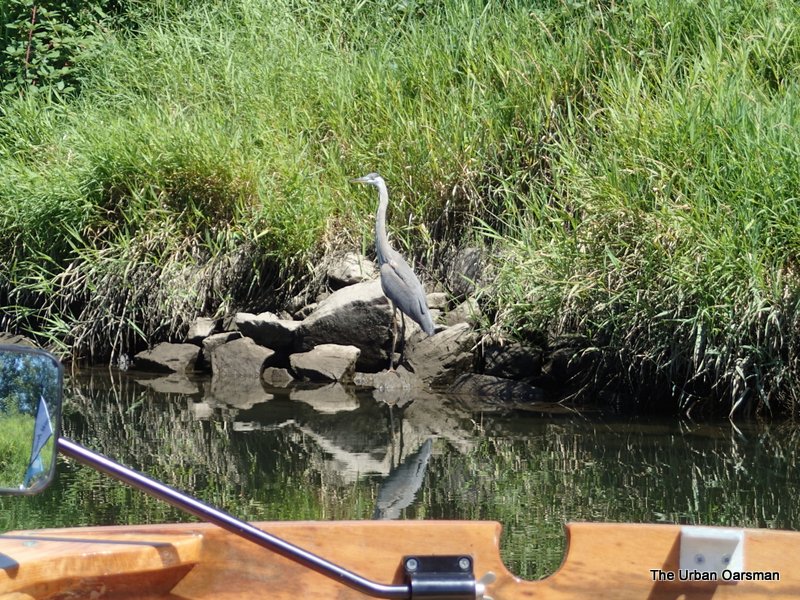
Navigation marker on the point on the North West side of Grant Narrows. 
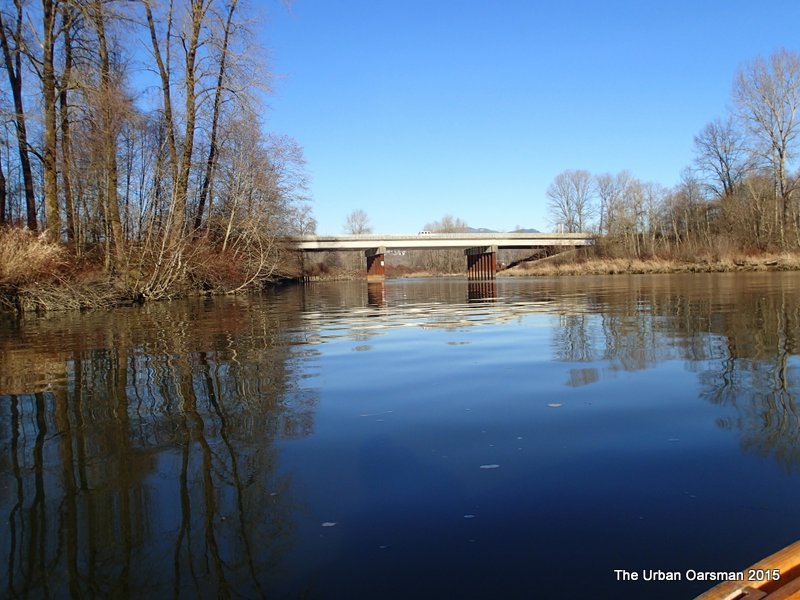
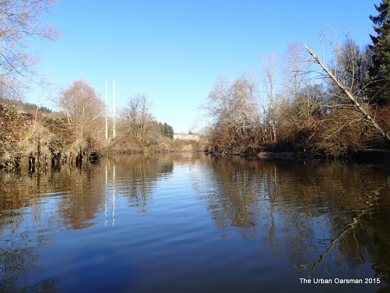
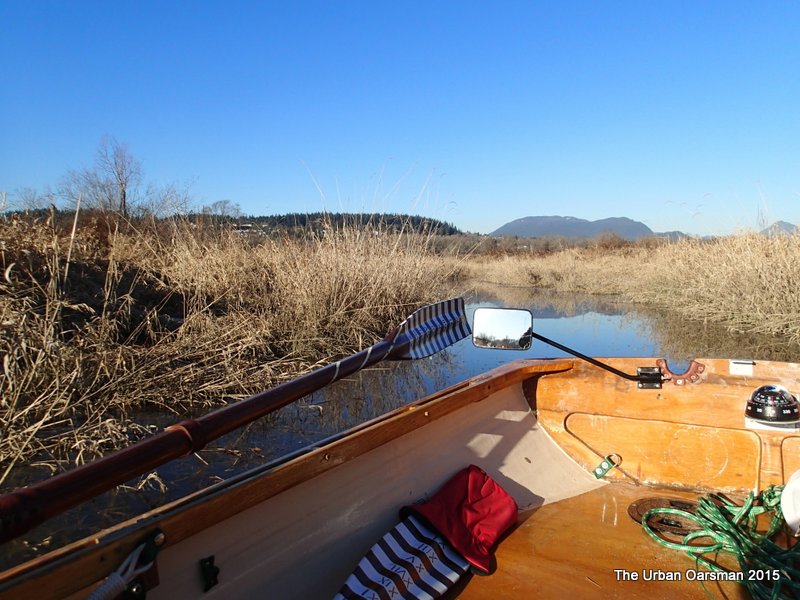
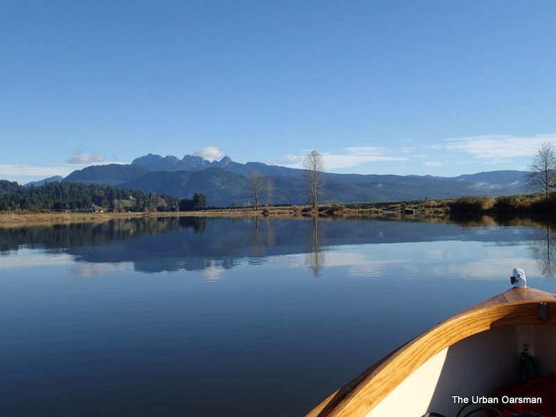
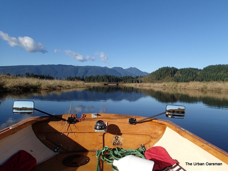
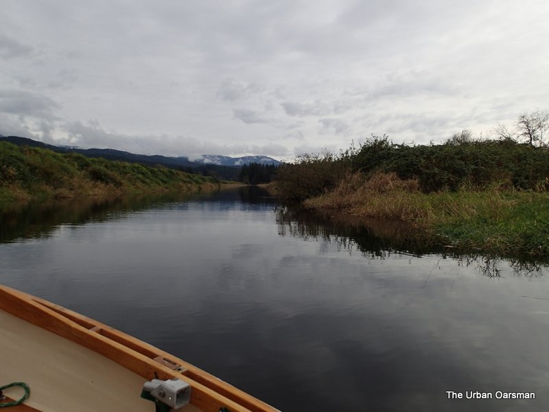
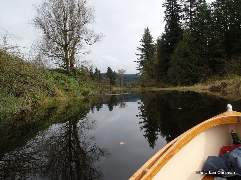
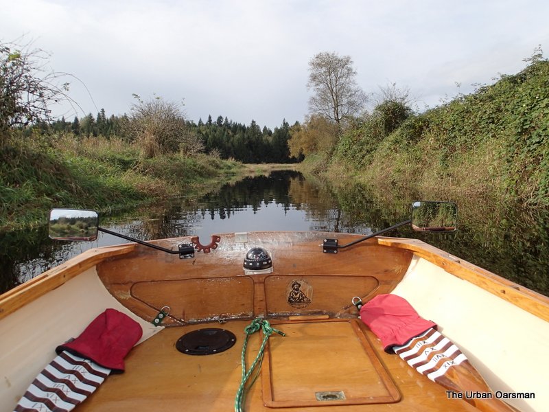
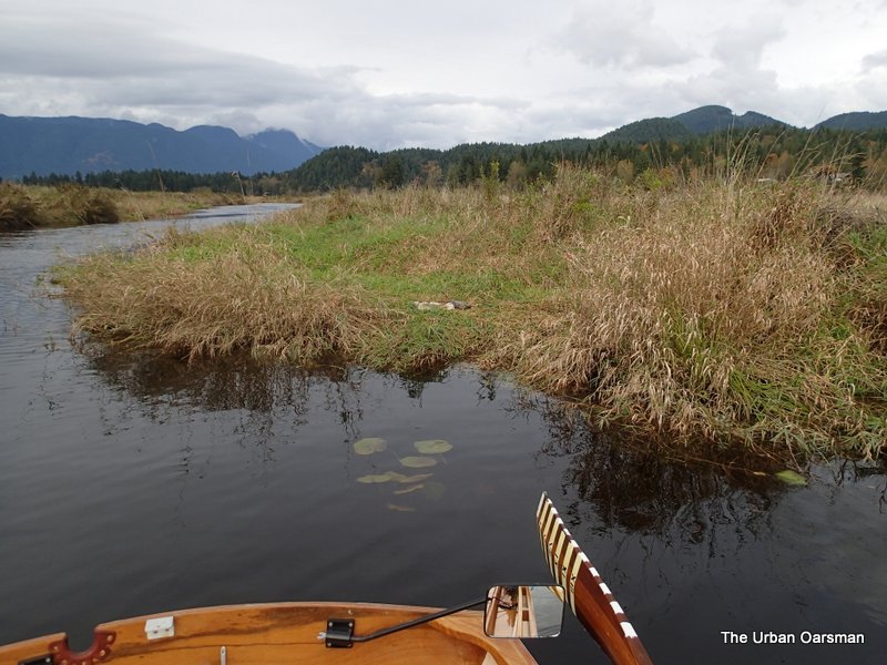
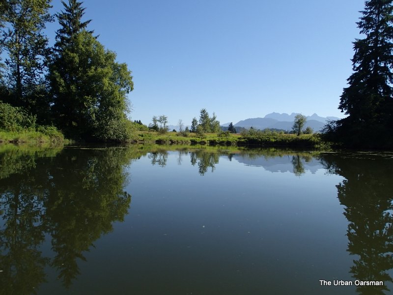
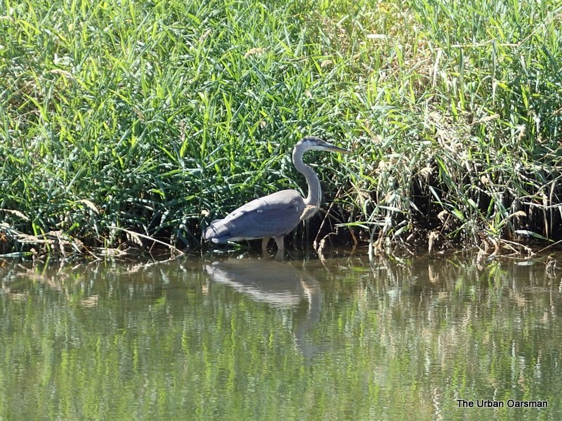
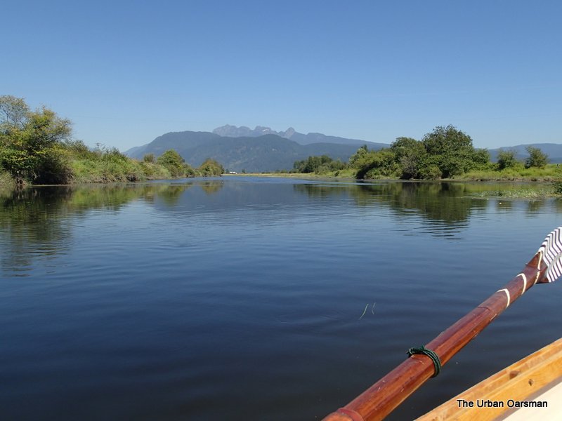
Looking up lake by the point.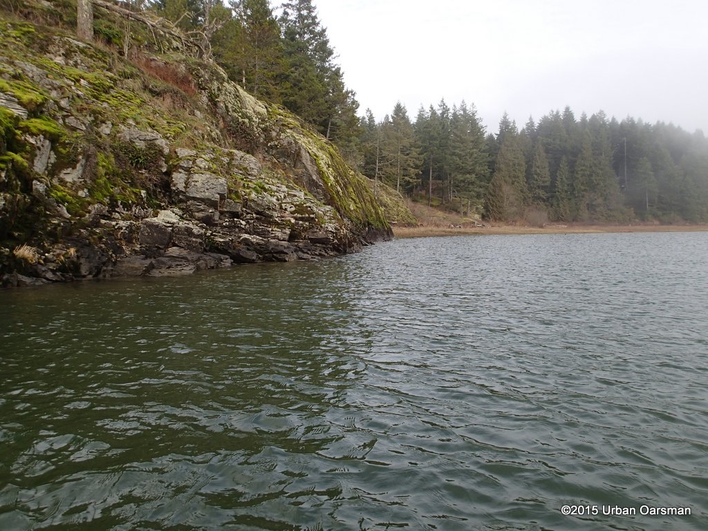
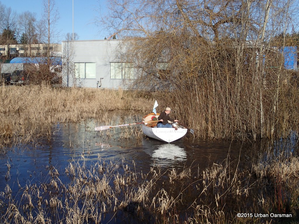
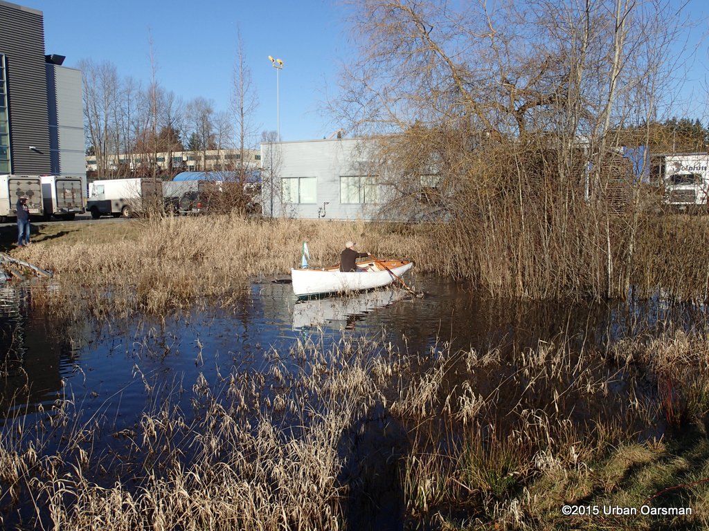
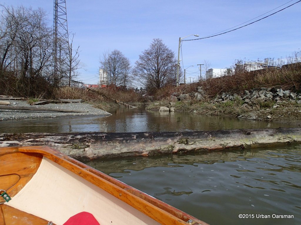
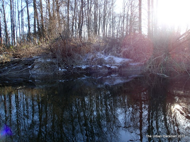
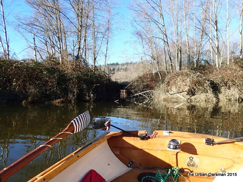
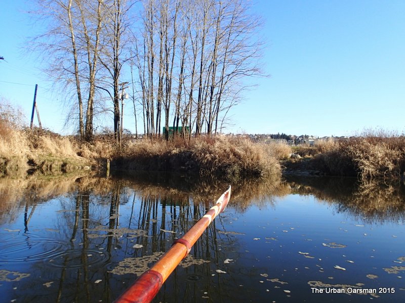
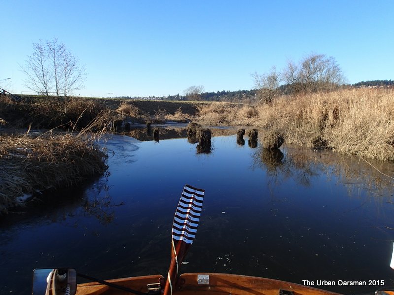
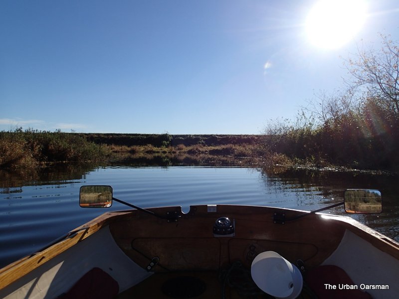
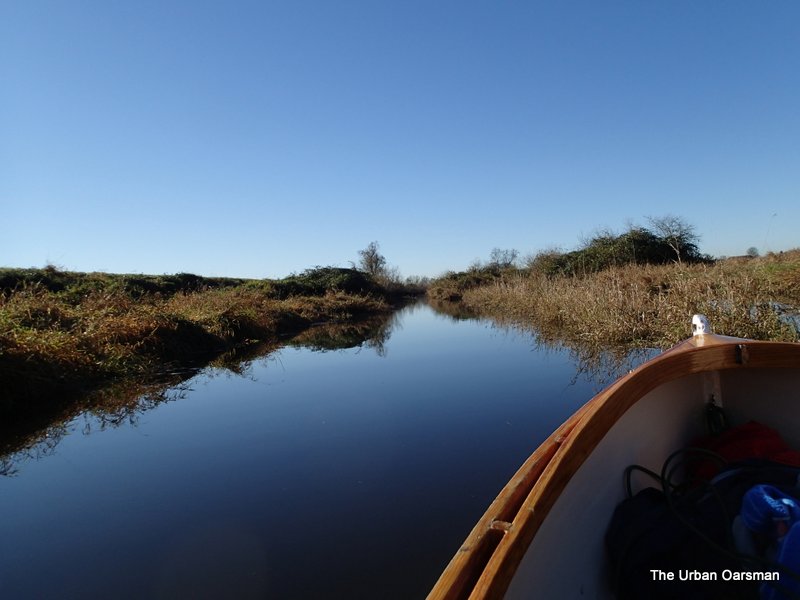
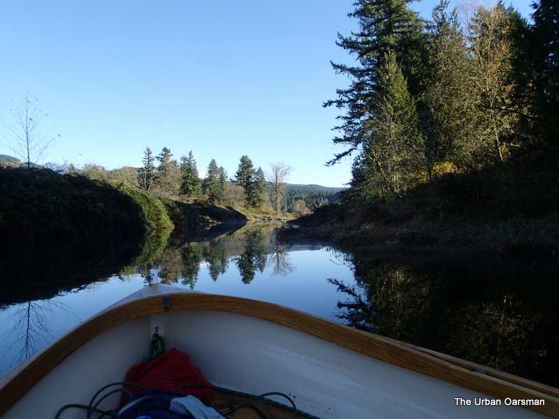
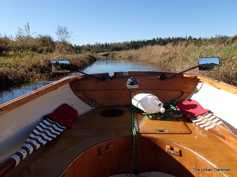
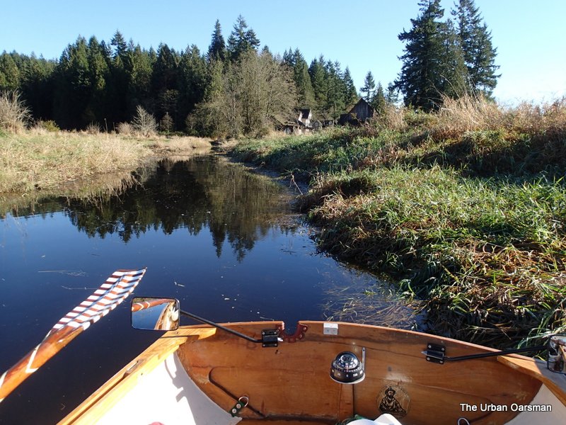
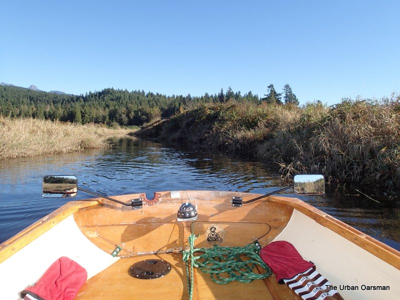
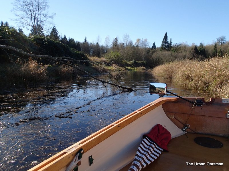
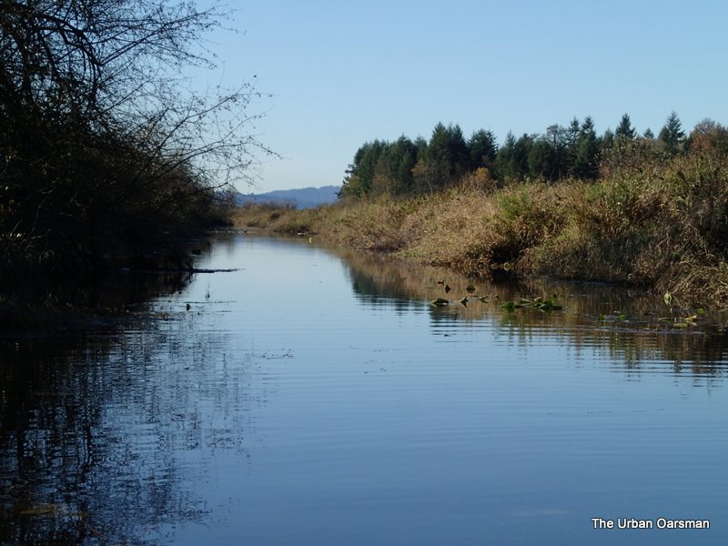
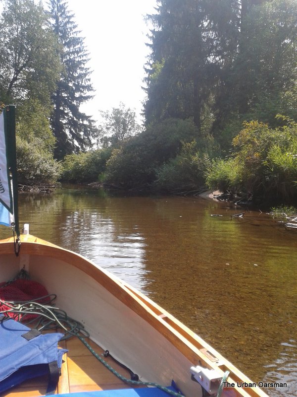
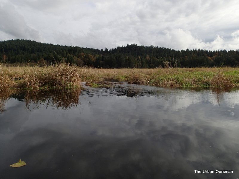
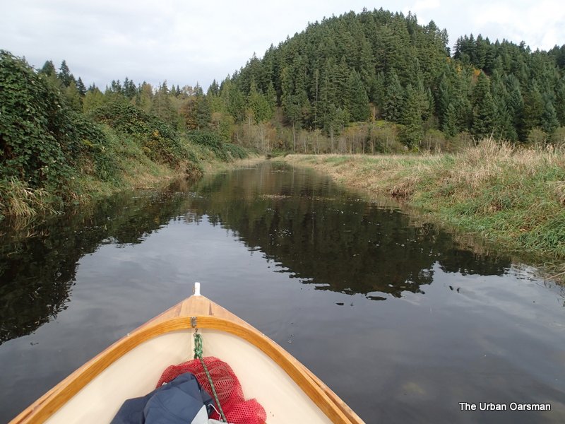
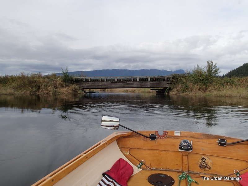
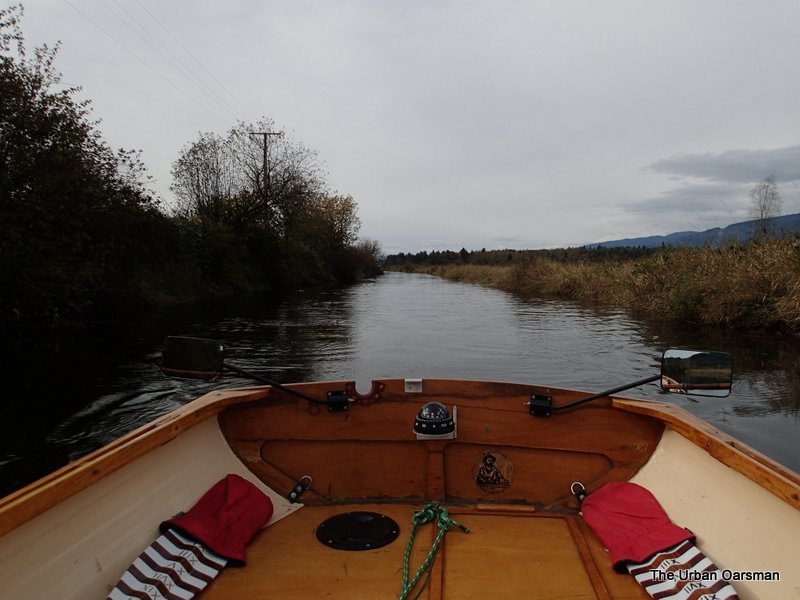
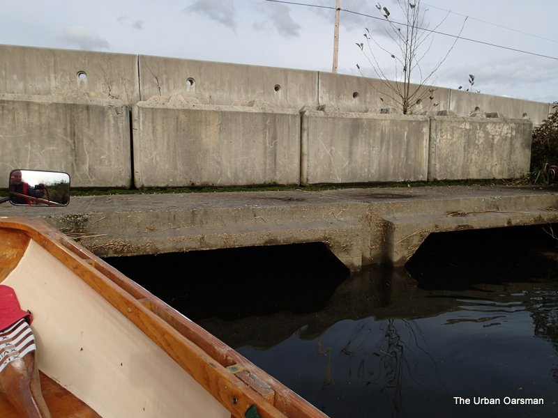
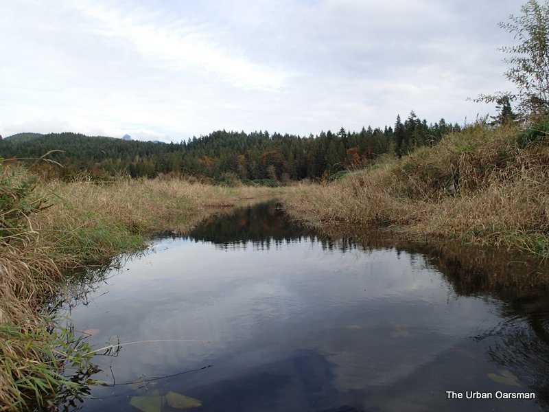
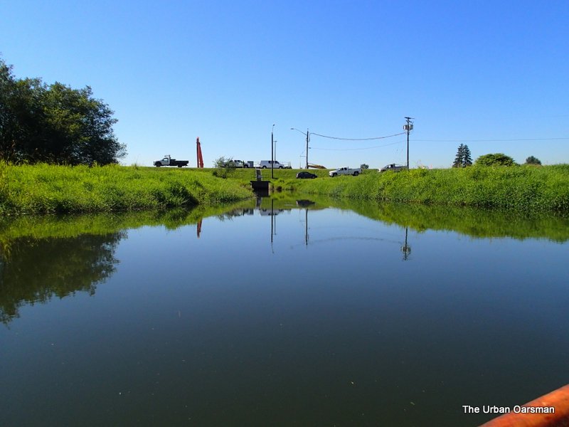
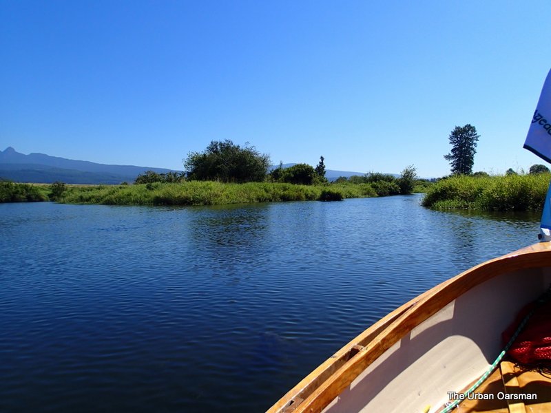
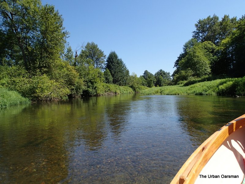
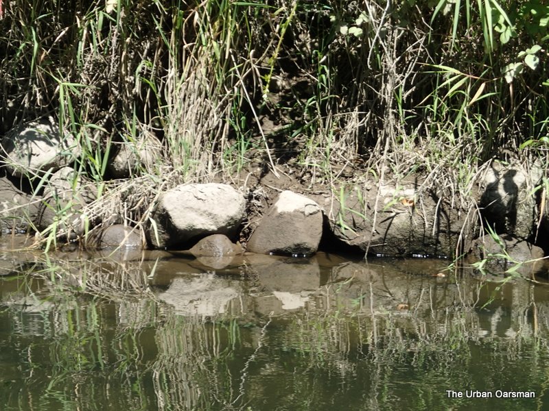
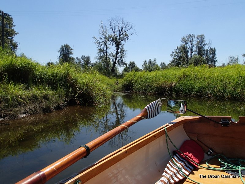
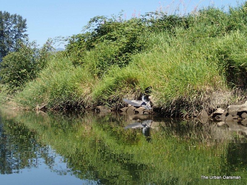
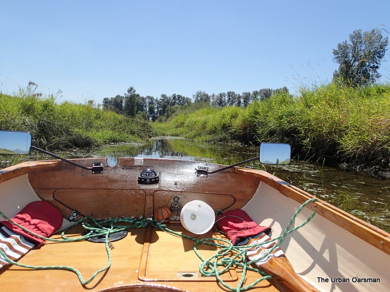
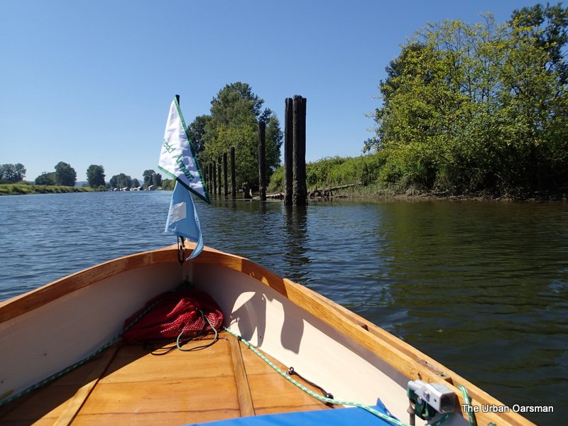
The entrance to the North Slough.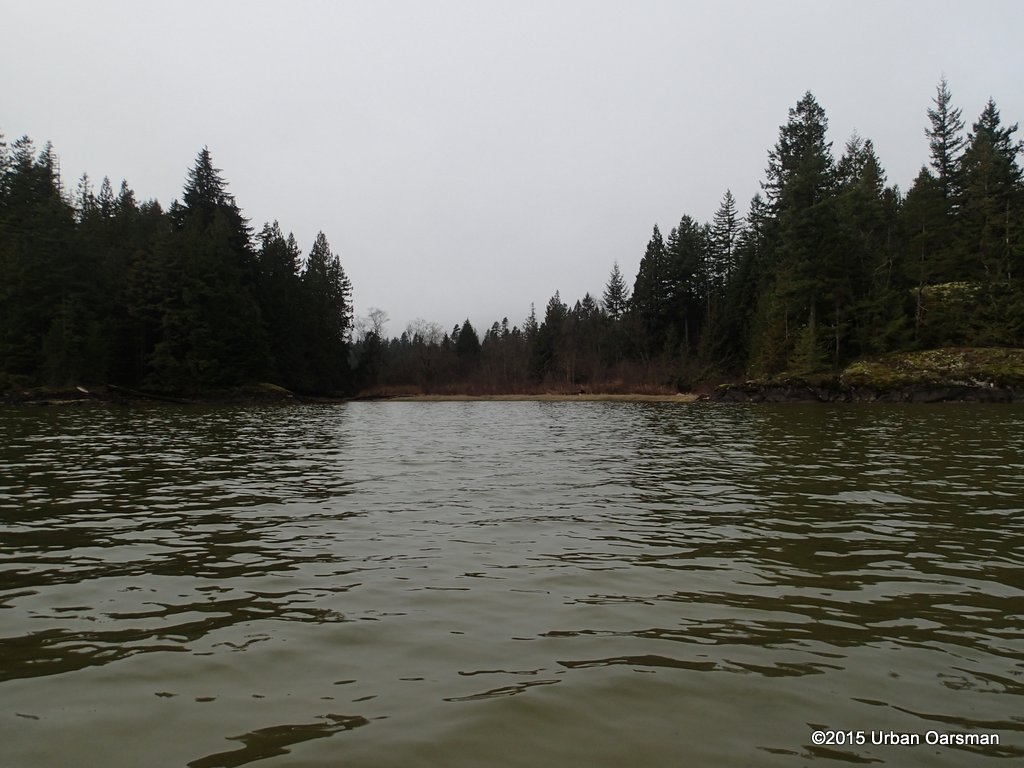
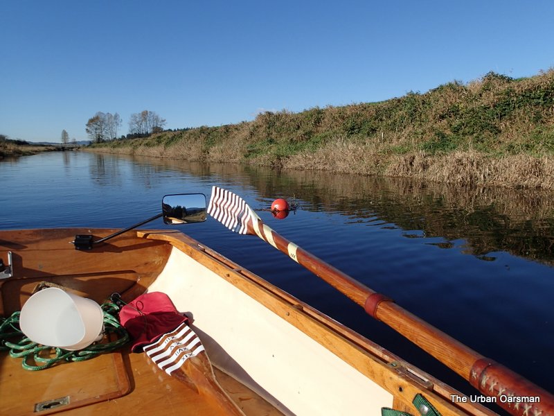
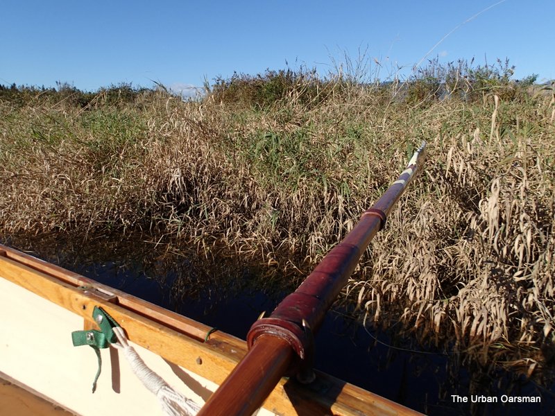
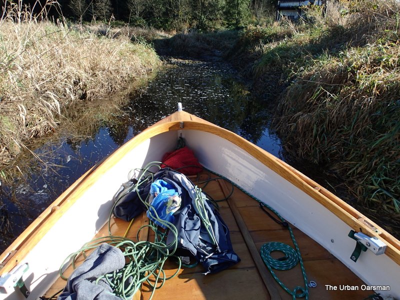
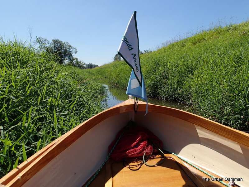
I will row Gwragedd Annwn backwards into the slough so I can see better. Also a little change of pace for the old arm muscles.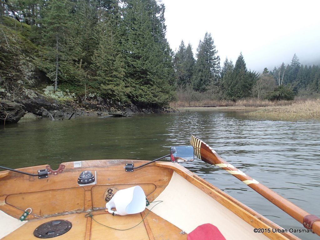
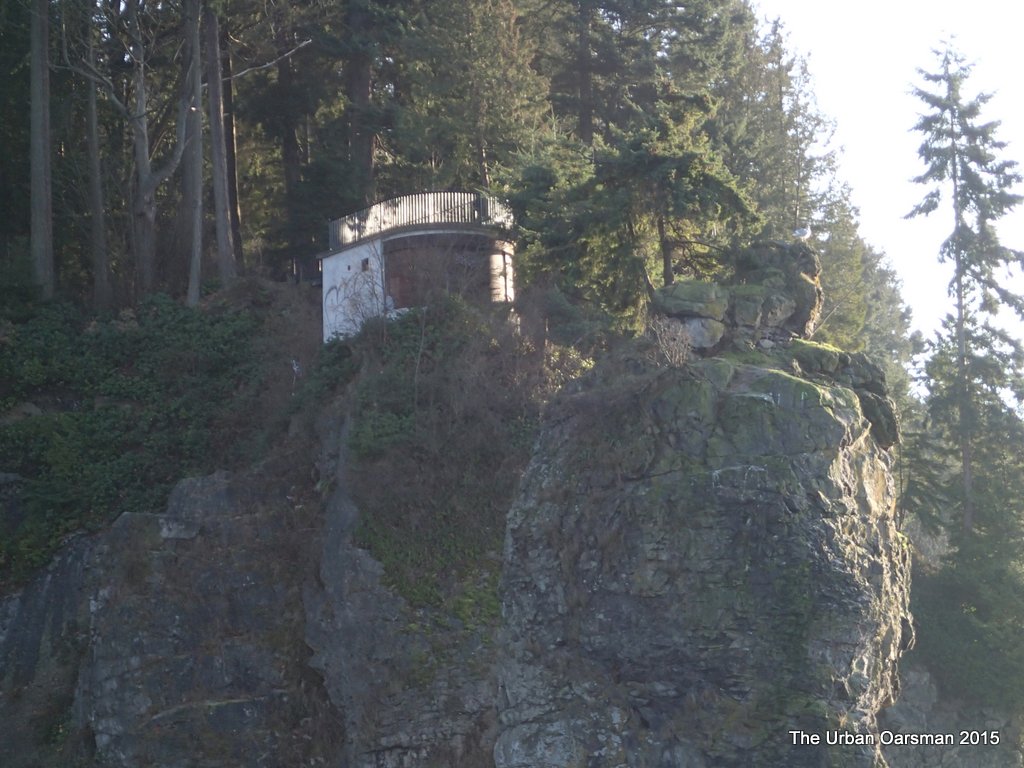
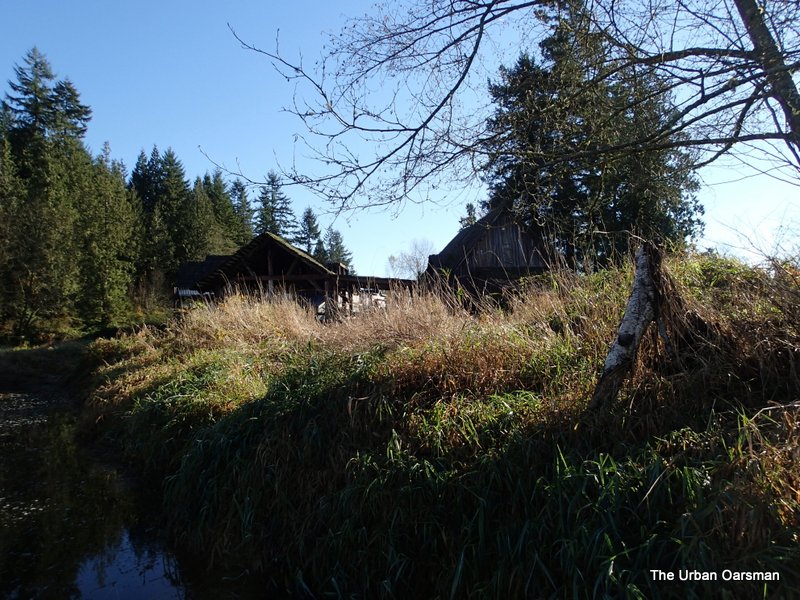
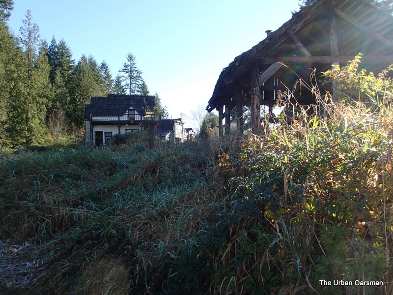
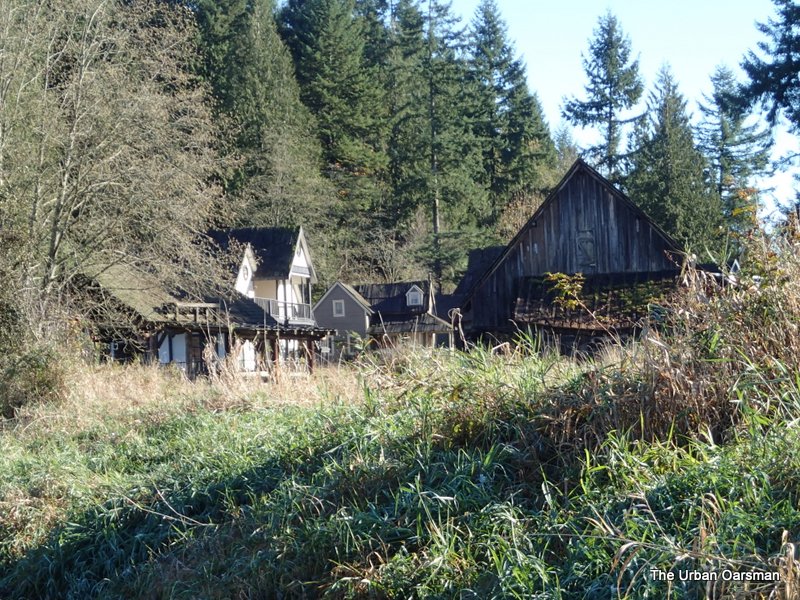
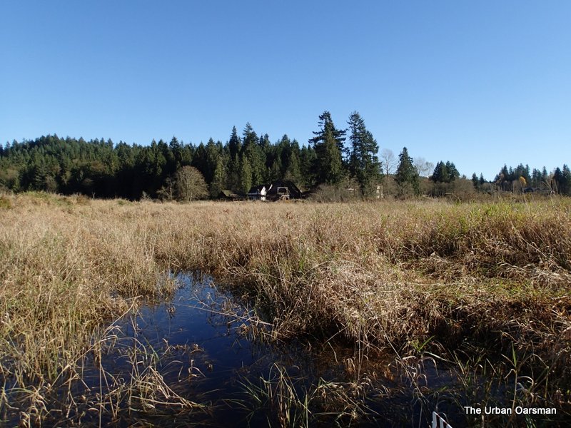
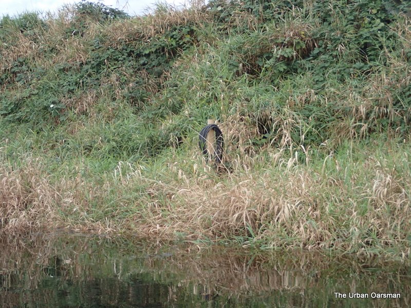
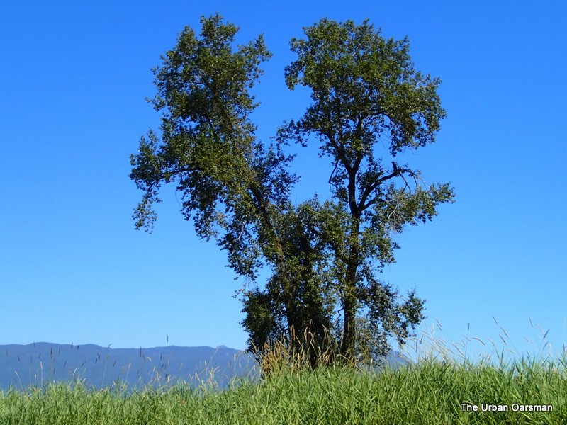
An old trailer(?) on the North Shore of the slough.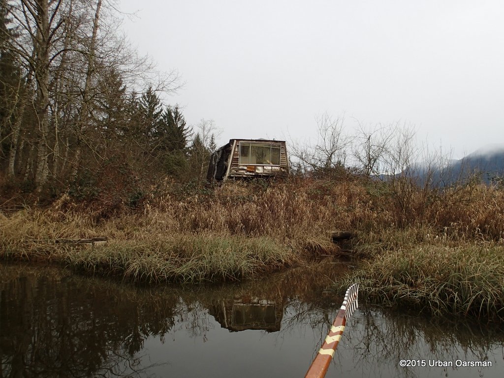
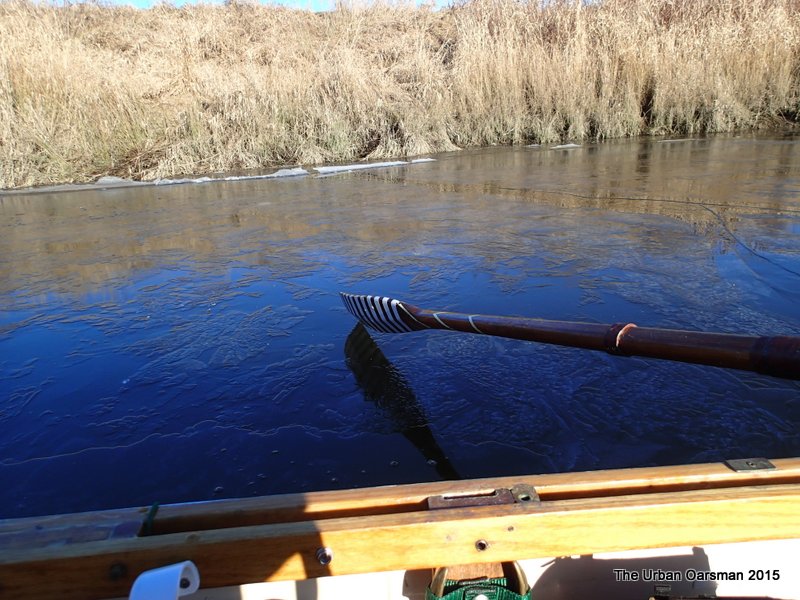
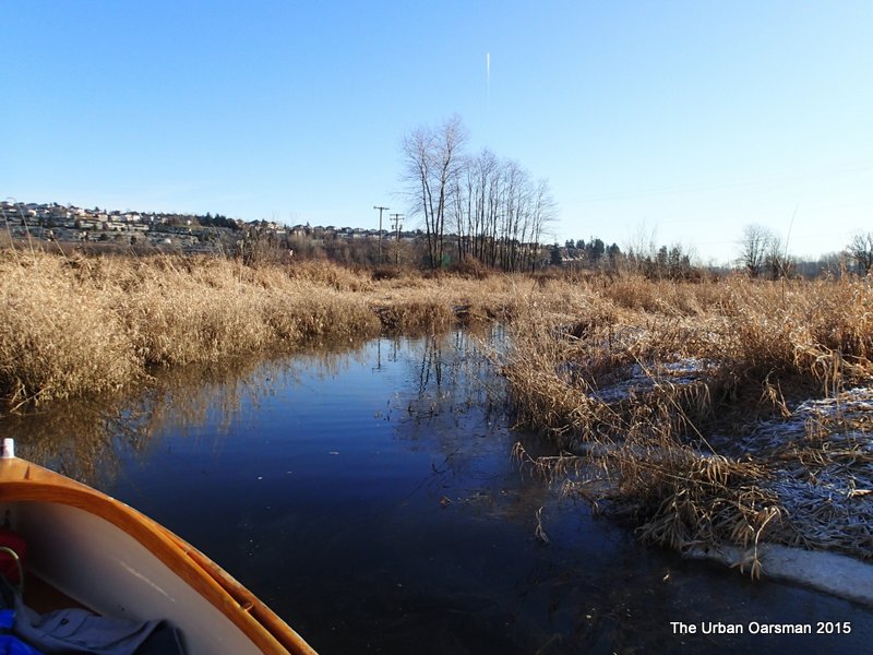
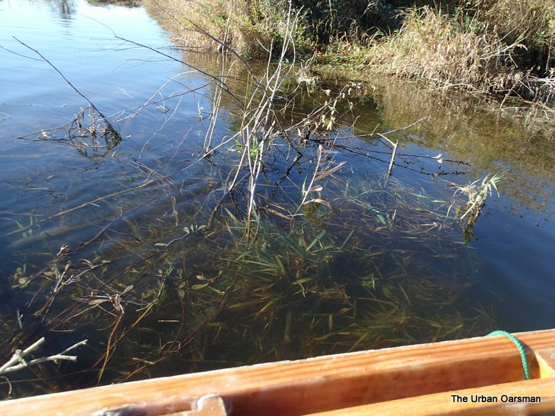
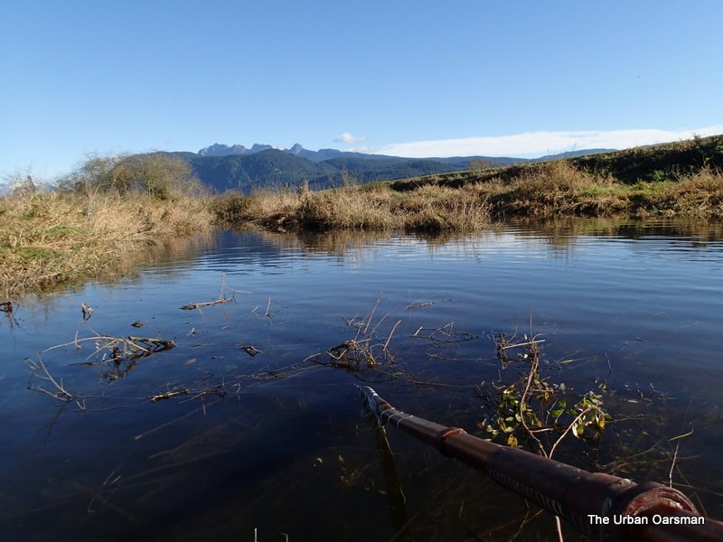
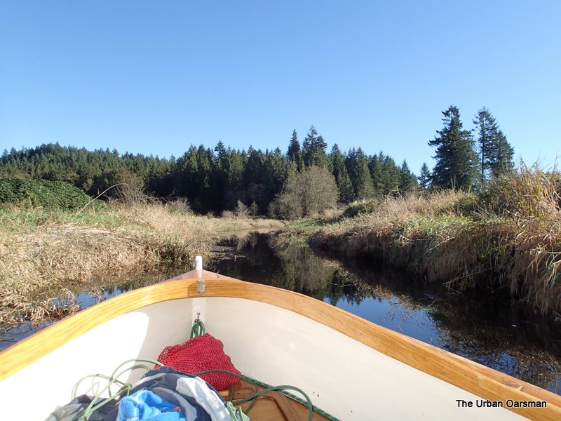
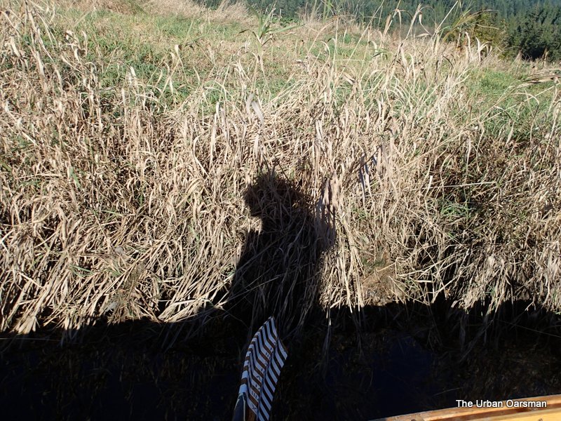
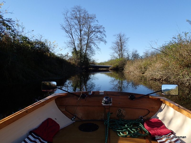
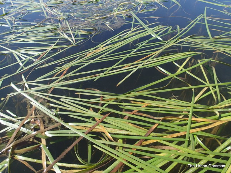
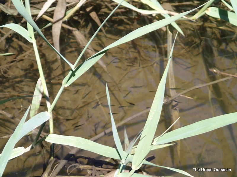
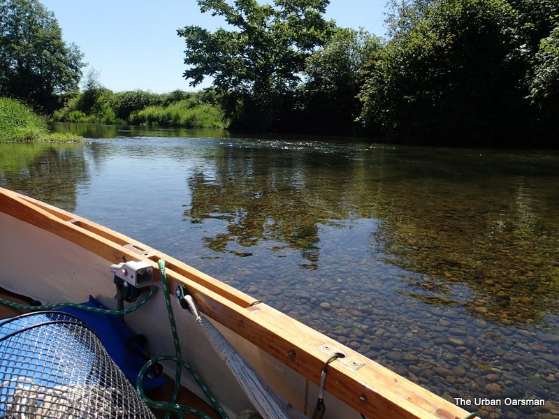
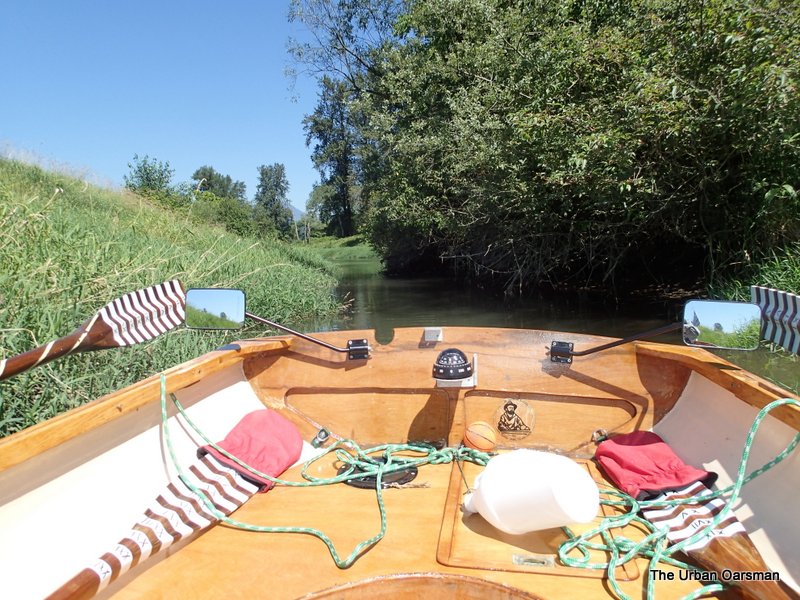
The way in is twisty and shallow in spots.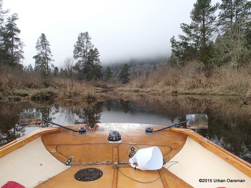
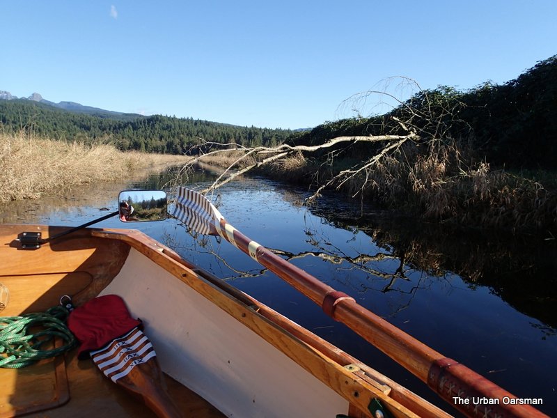
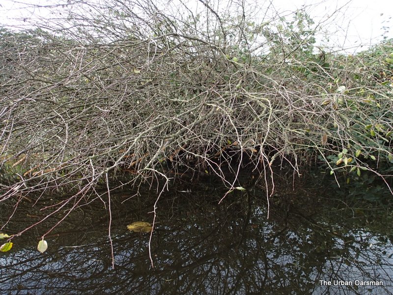
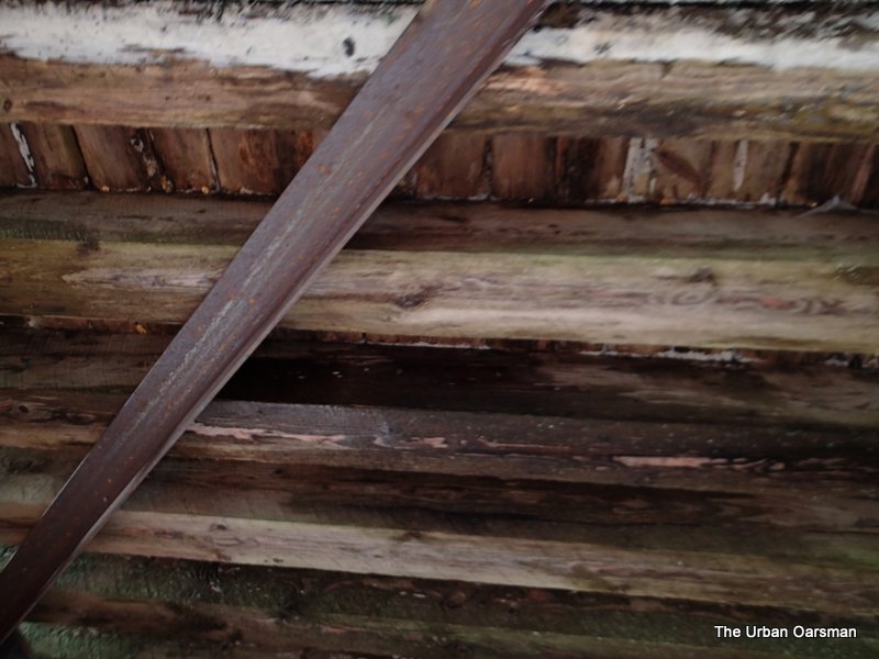
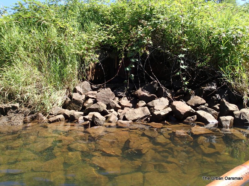
Past the first barrier.
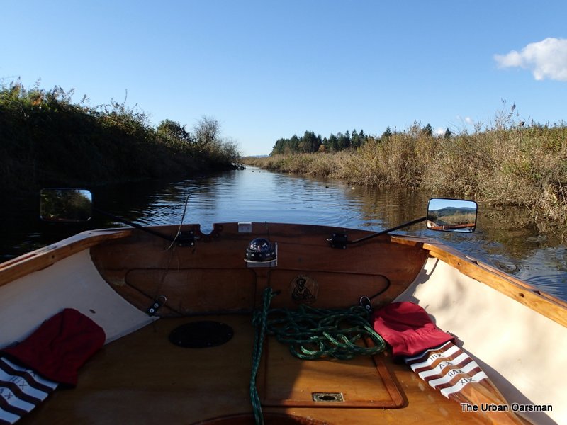
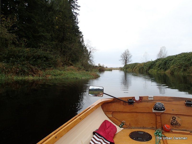
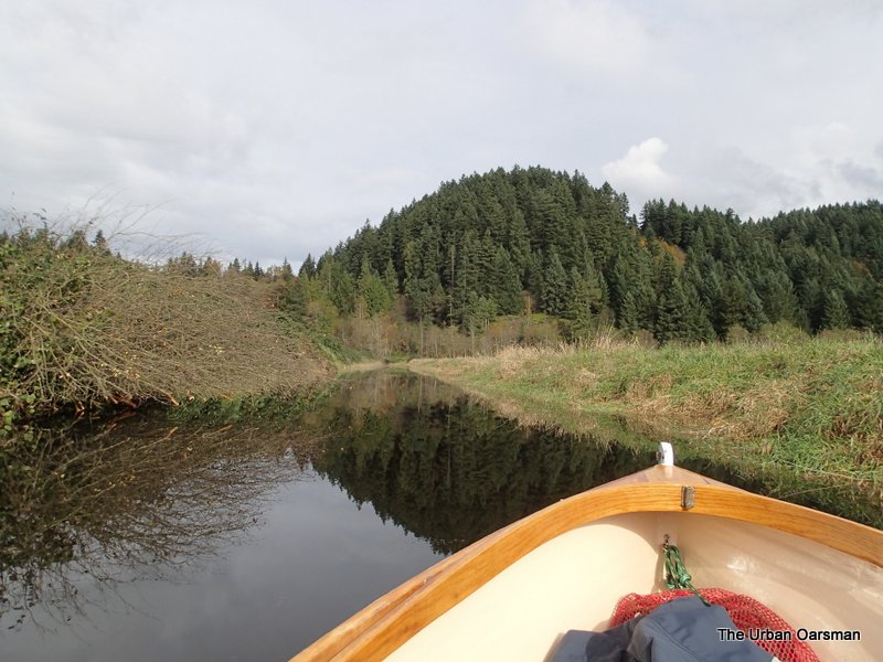
The slough turns to the South West.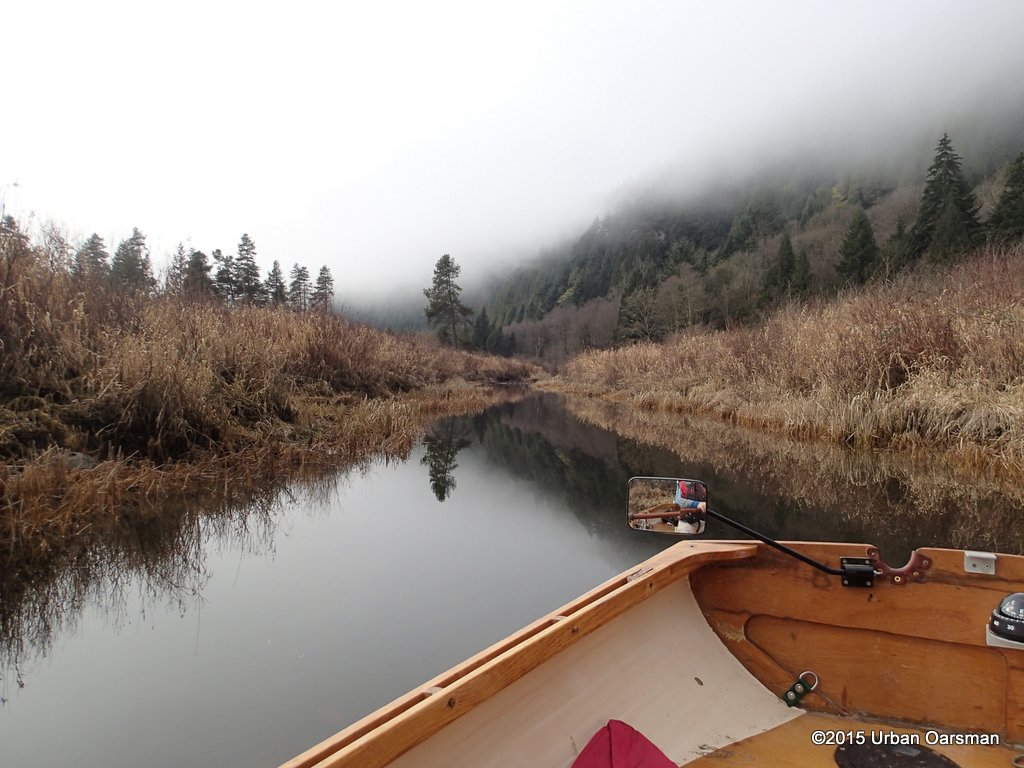
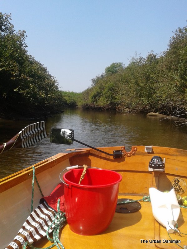
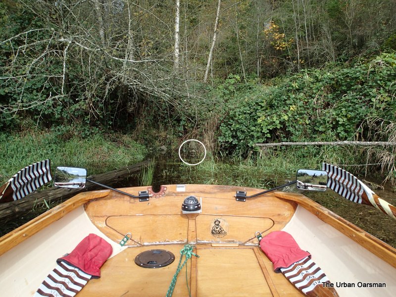
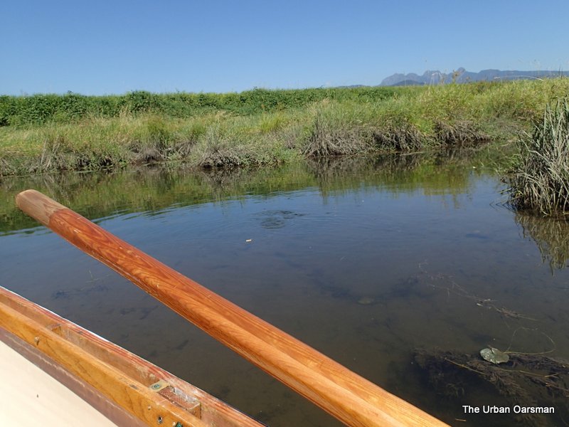
The channel is not very wide.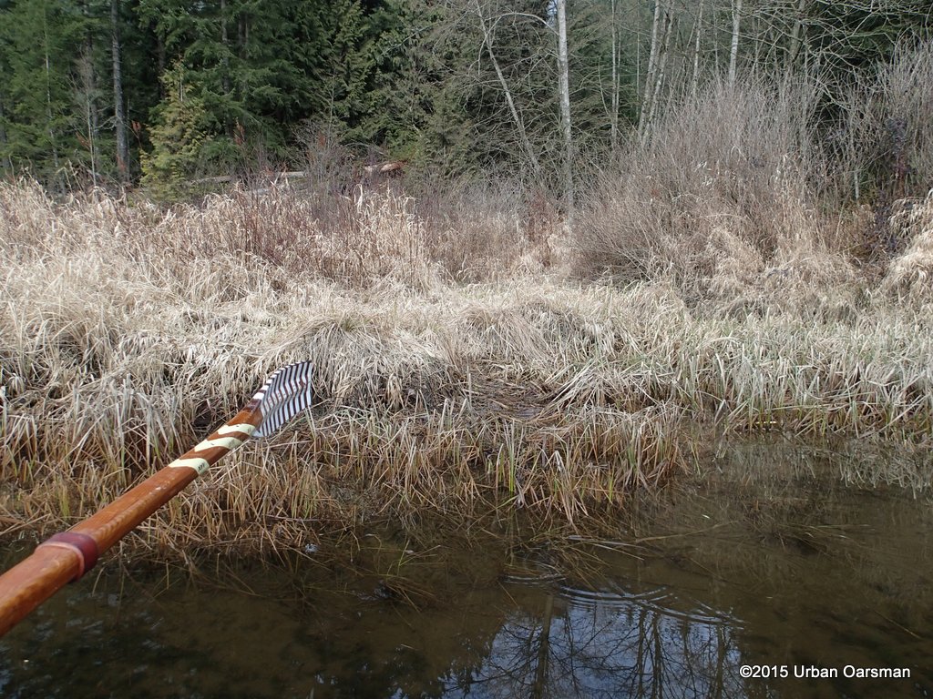
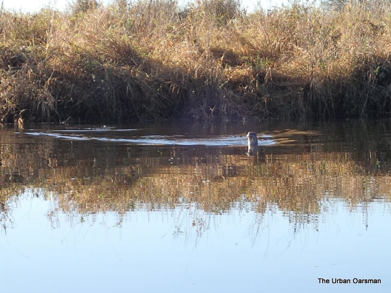
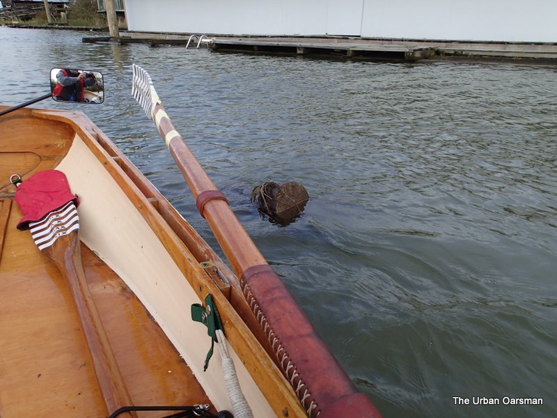
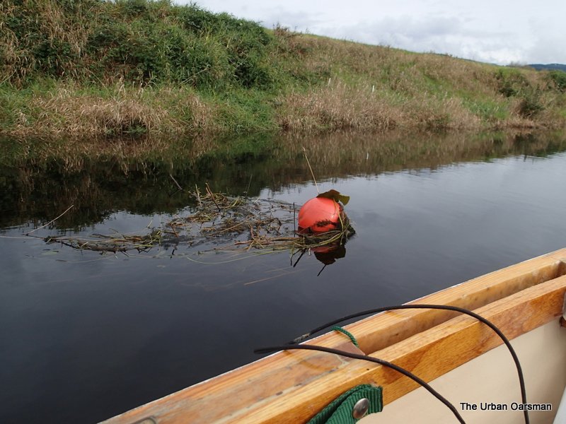
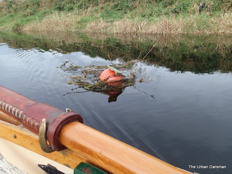
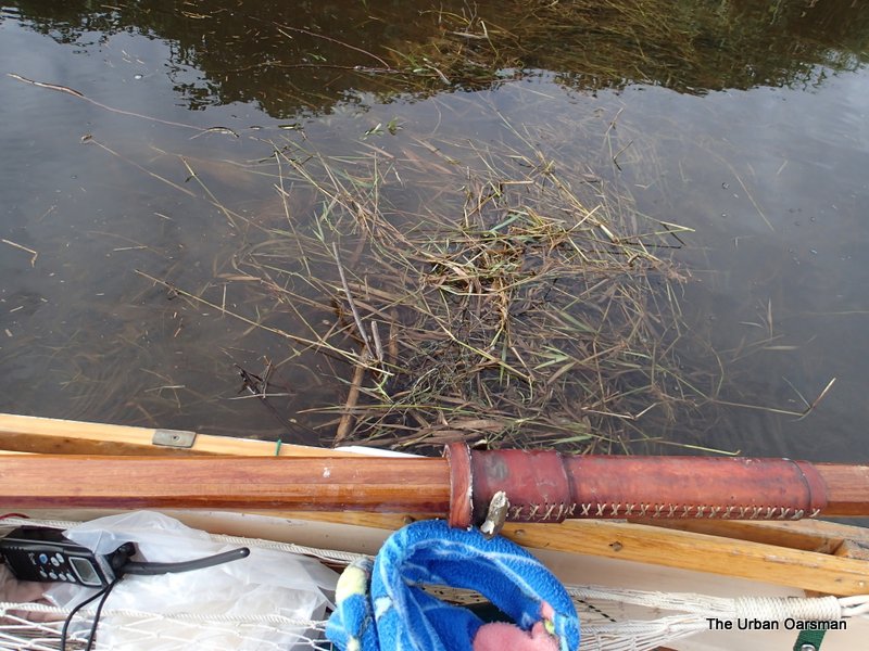
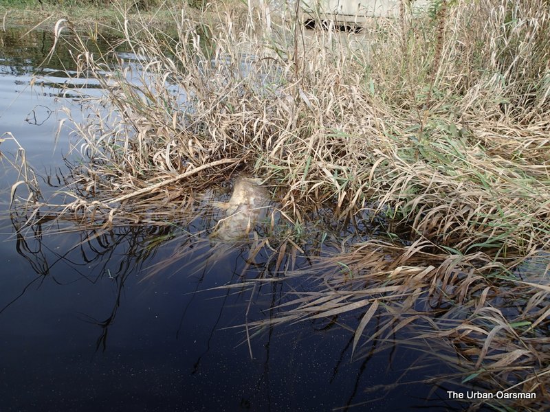
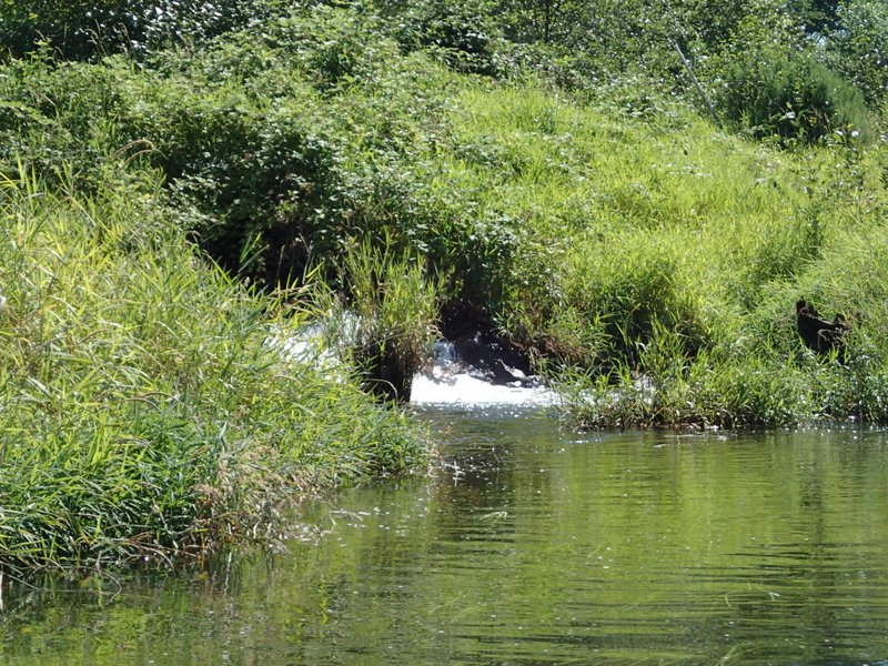
Beaver works block the way. The water is flowing out.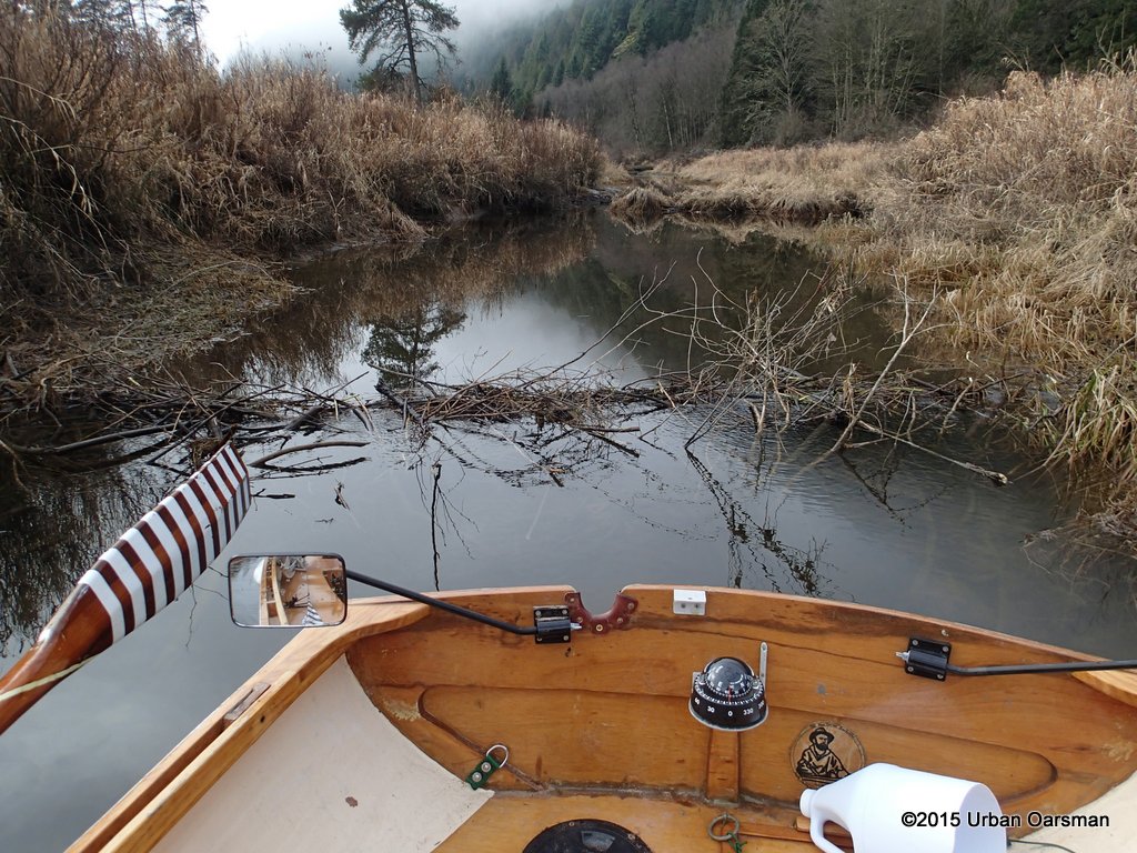
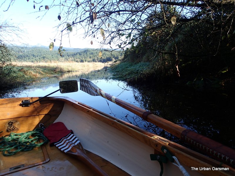
I push Gwragedd Annwn over the beaver works and press on. For a while, the channel looks as if it may go through.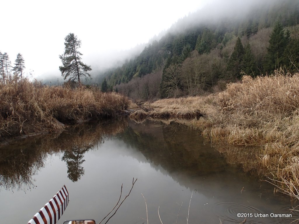
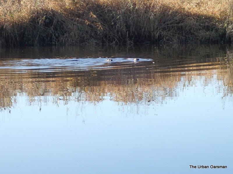
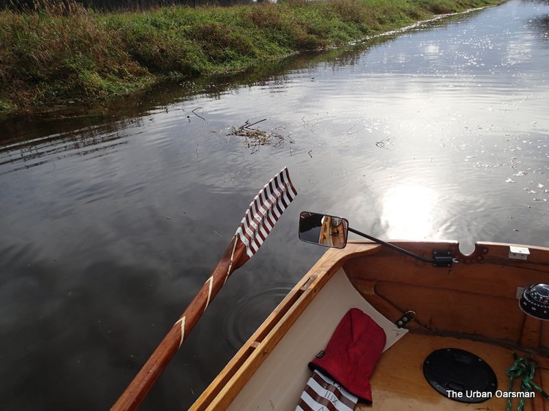
Looking back where I have come from.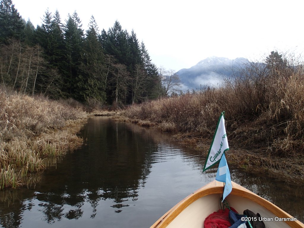
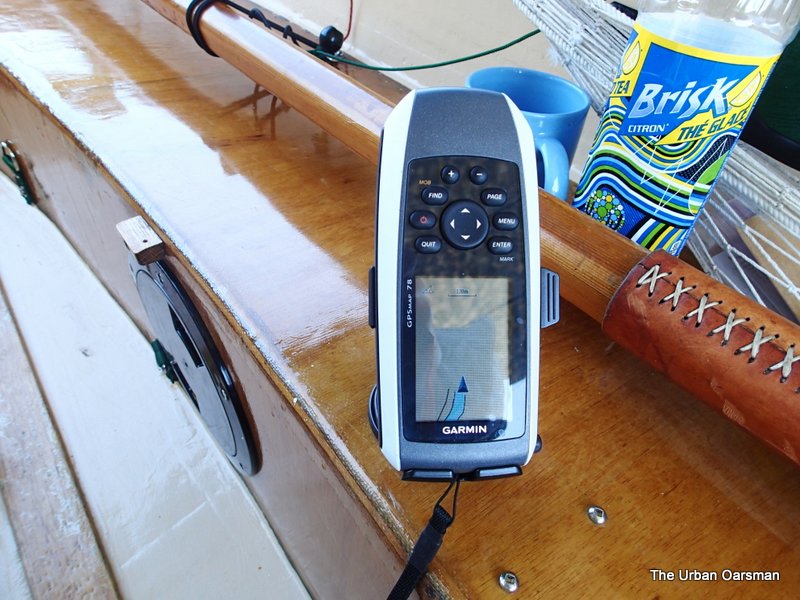
Progress on the GPS. The way is too blocked and shallow for Gwragedd Annwn to continue. The white lines show the navigable(?) channels.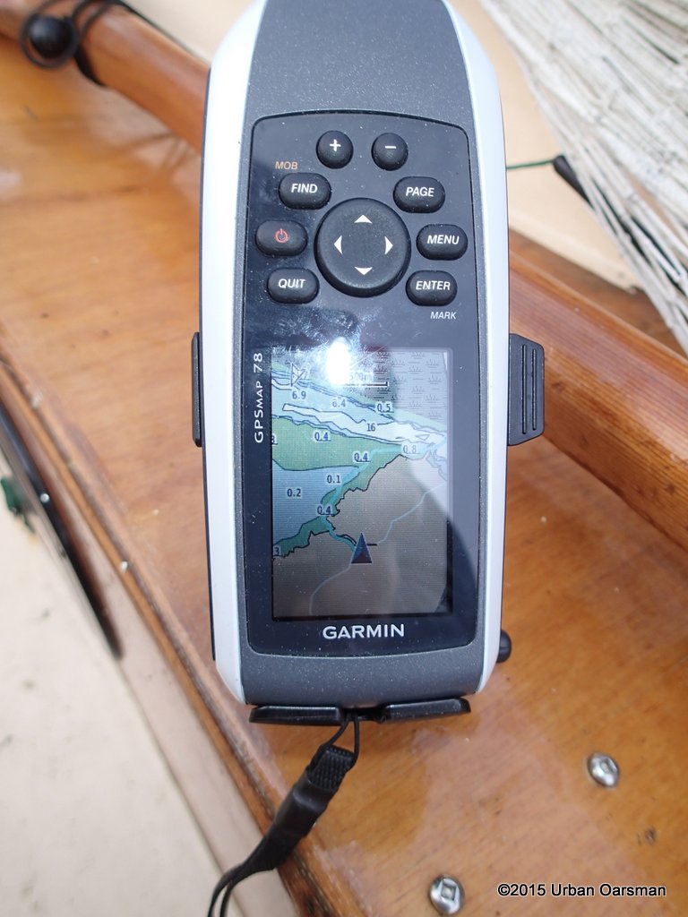
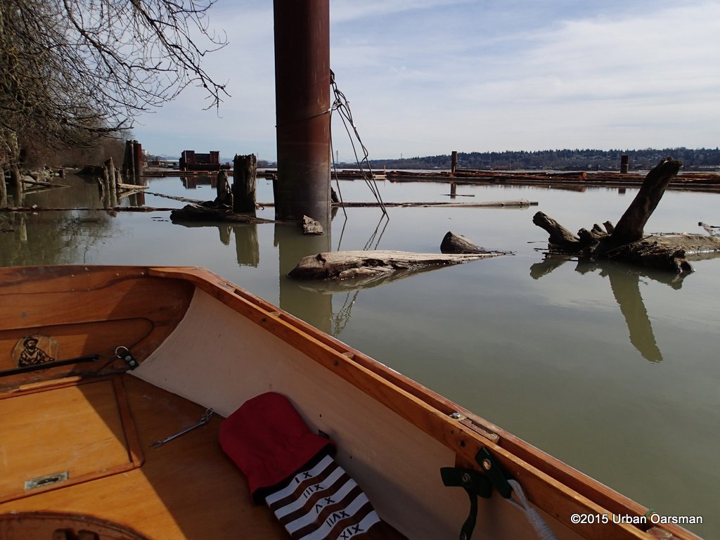
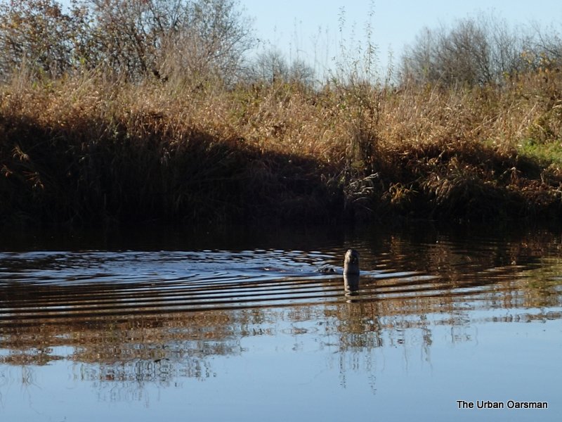
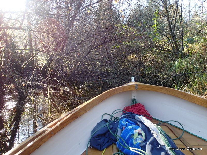
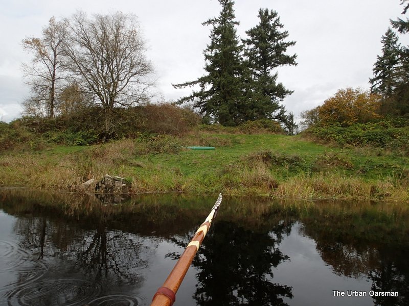
The end of the line.
Too shallow even for Gwragedd Annwn.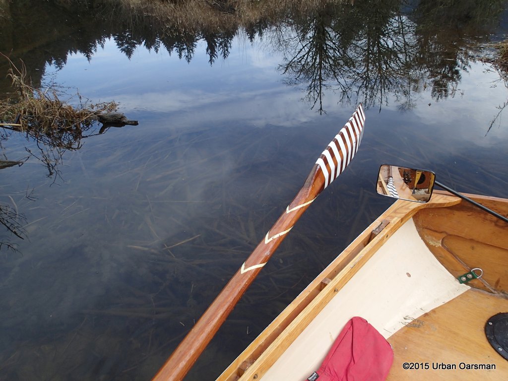
Beaver Lodge.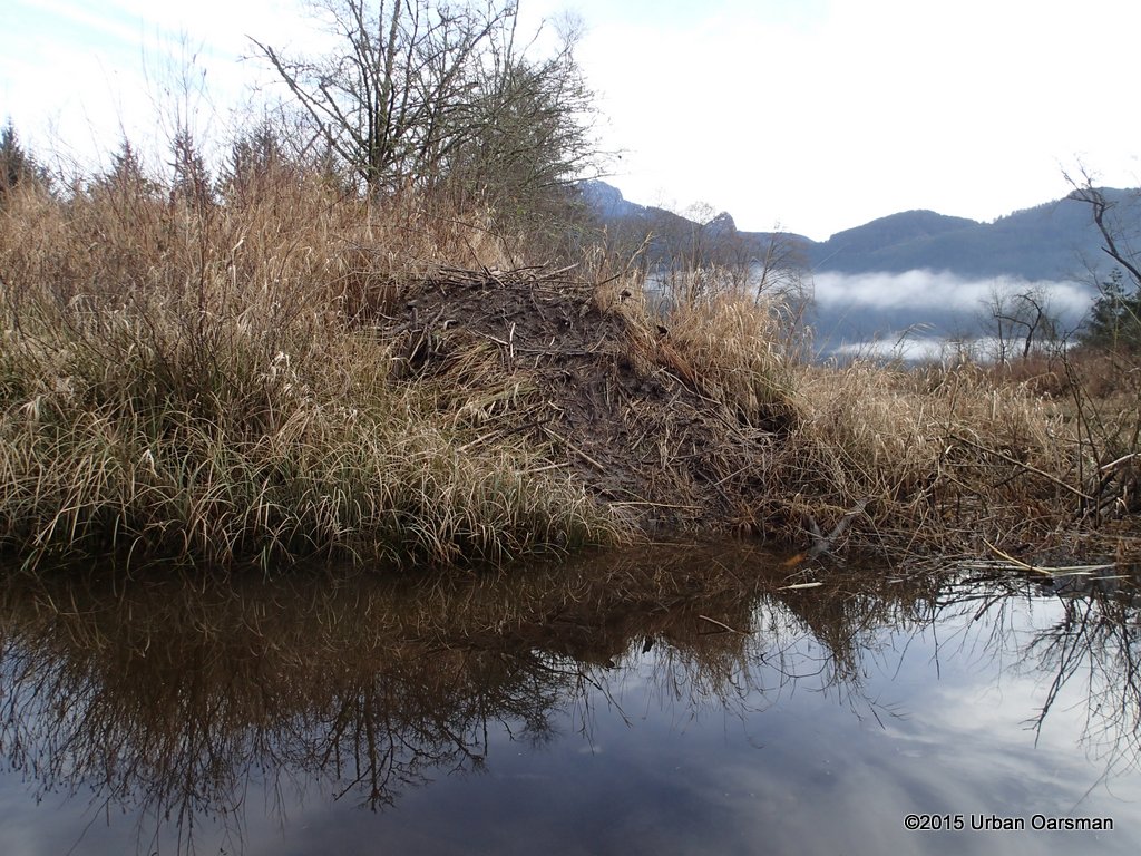
Beaver channel beside the lodge. I will see where it leads.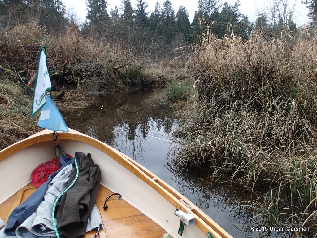
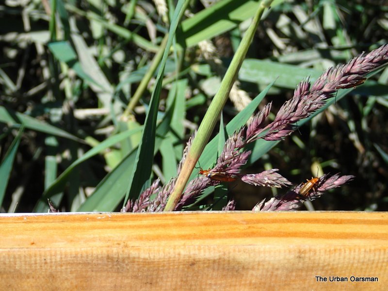
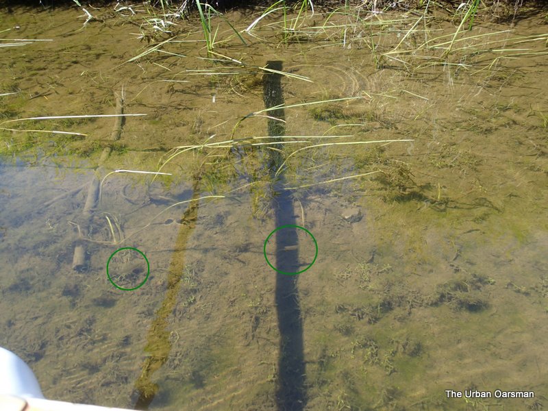
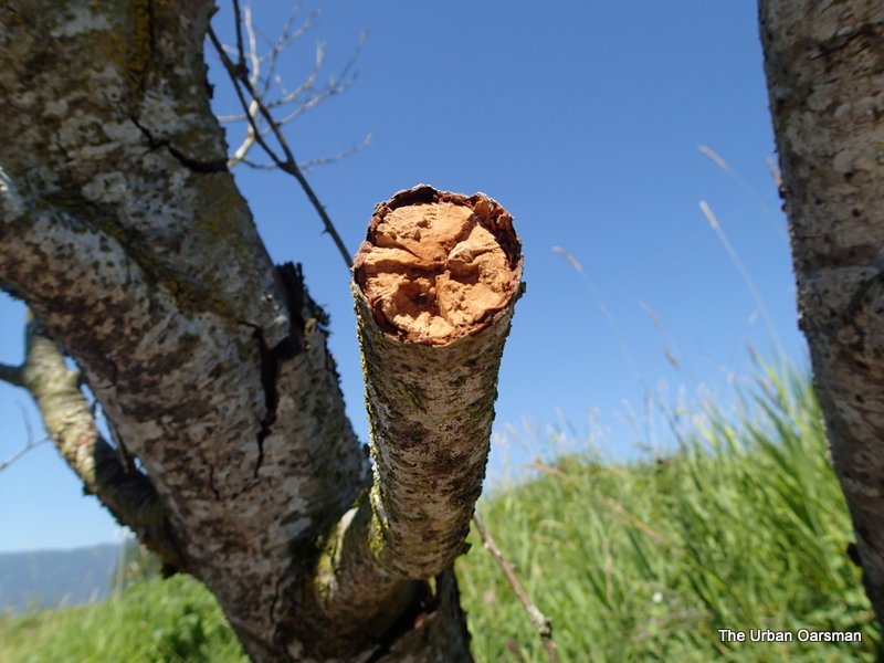
Signs of beaver activity.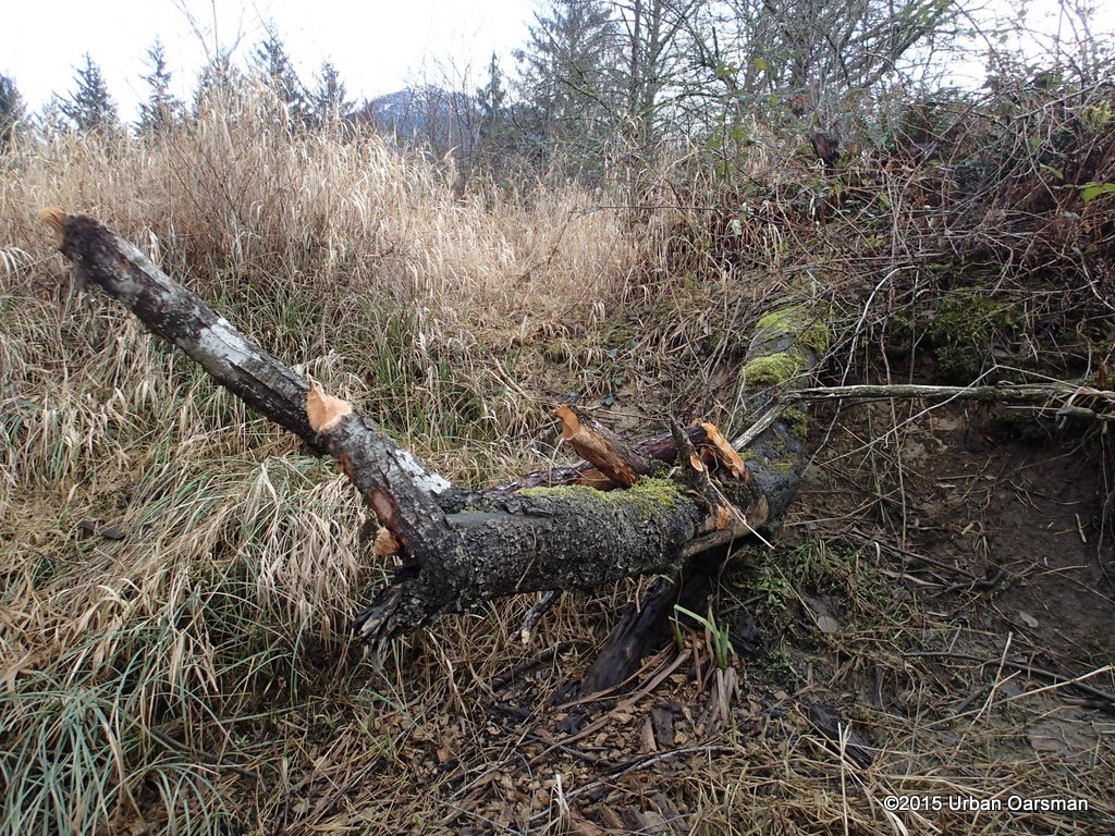
This branch is over 3′ higher than the water. How did the beavers get to it? Does the water level get a lot higher than it is now? Three feet higher?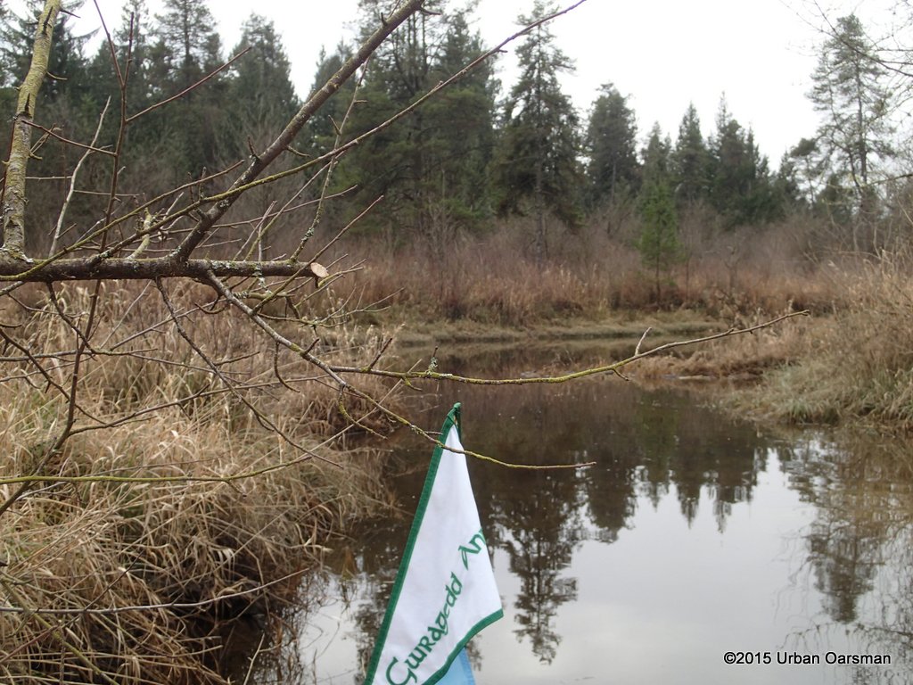
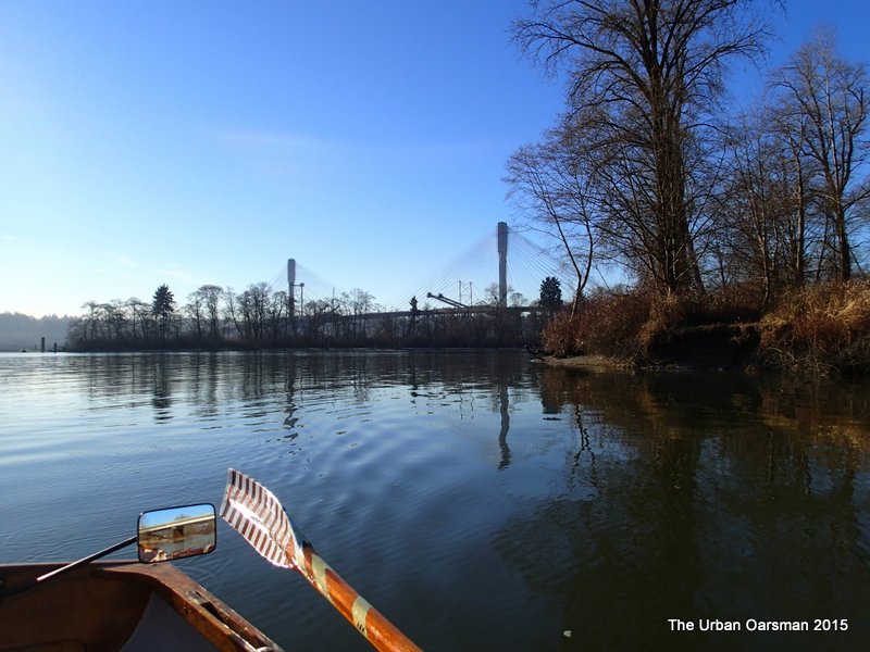
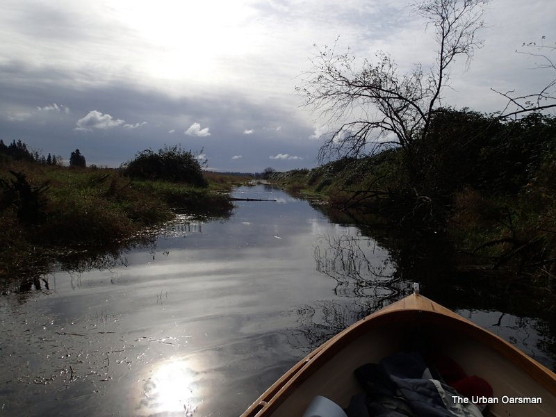
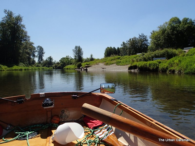
Leaving the North Slough into Pitt Lake.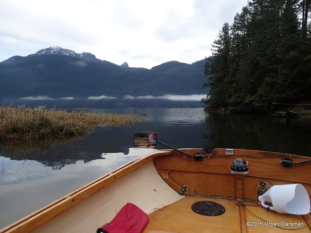
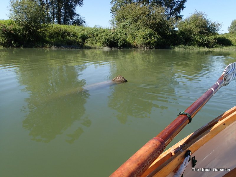
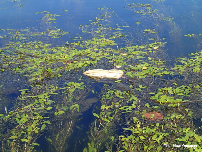
A clam on the mudflats. They form the largest negatively accreting delta in the world, and Pitt Lake is the second largest fresh water tidal lake in the world.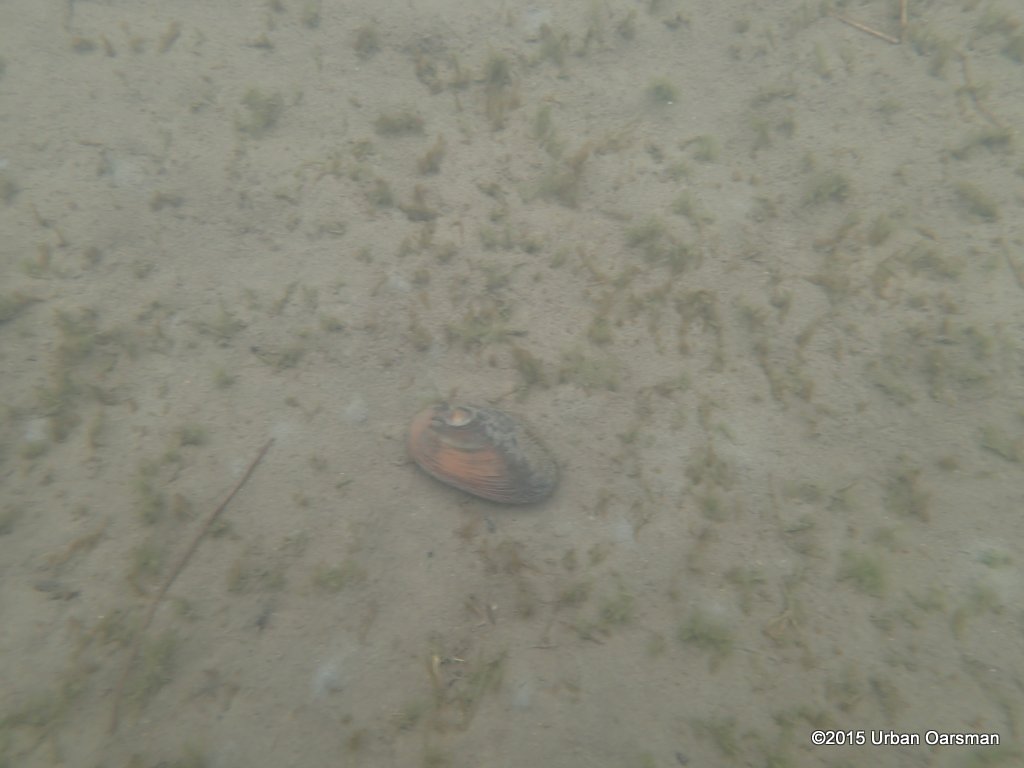
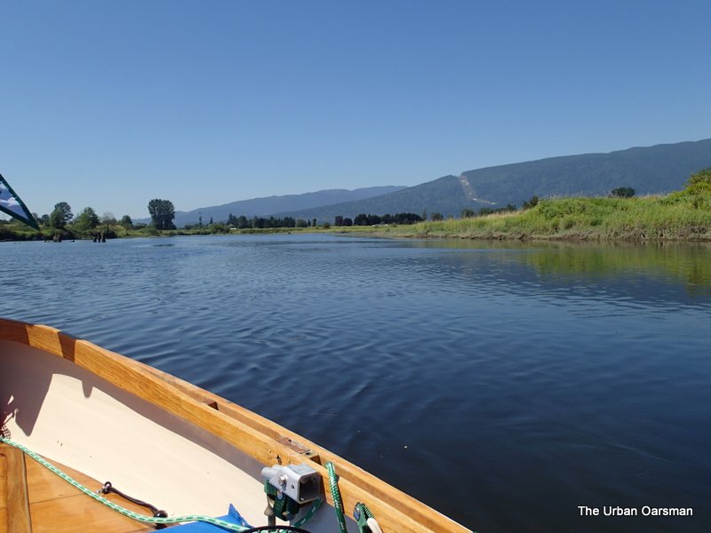
The view up lake. The mudflats are quite extensive here. The water is not much more than a foot deep here. I would not want to try walking here. Looks a little too muddy. 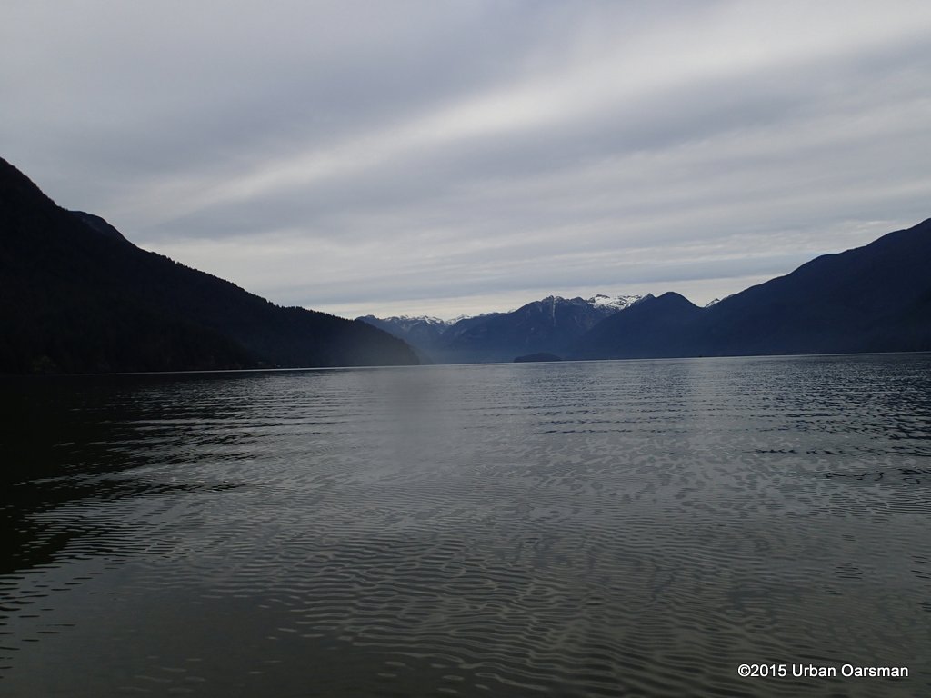
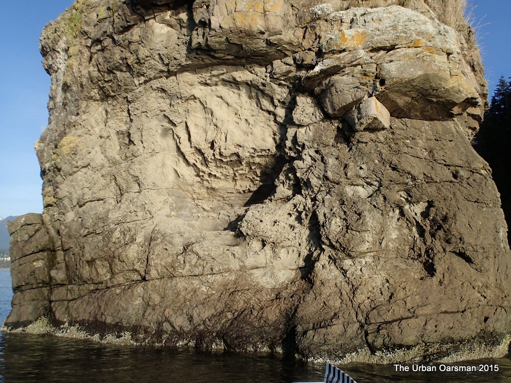
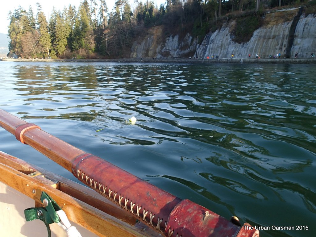
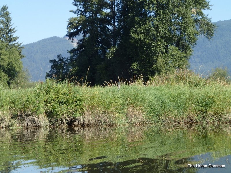
The Eastern Shore is steep and mossy.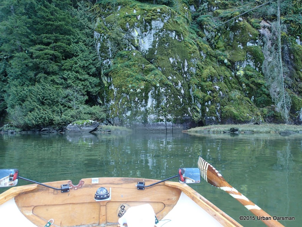
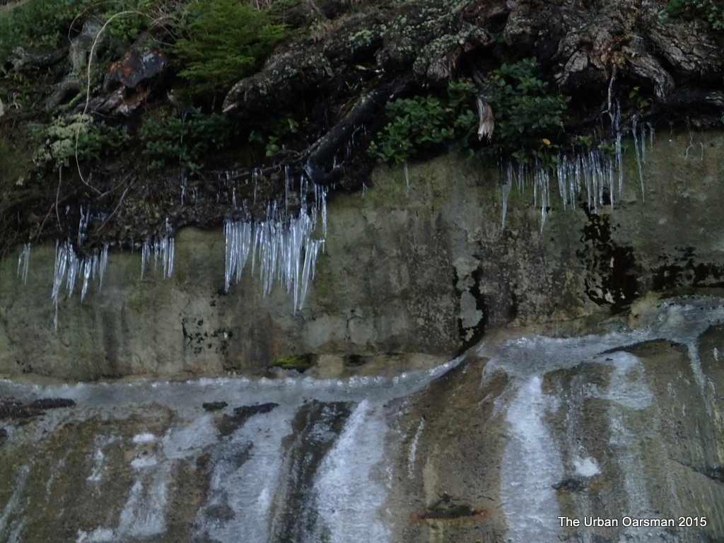
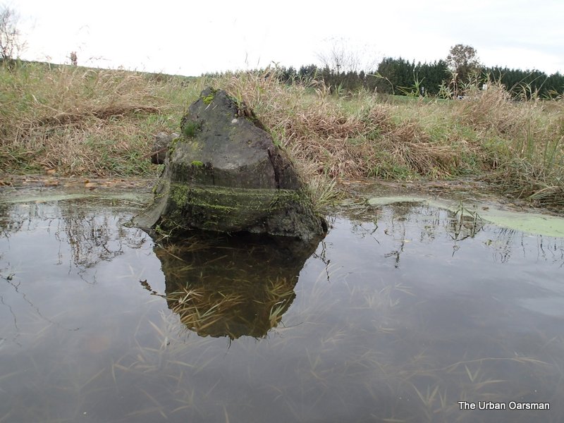
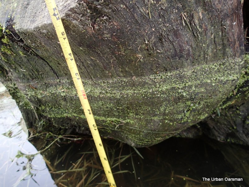
Waterlines on the rockface? It is almost three feet from the water line to the moss line.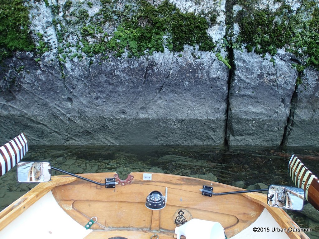
Close-up of the Mossy cliff face.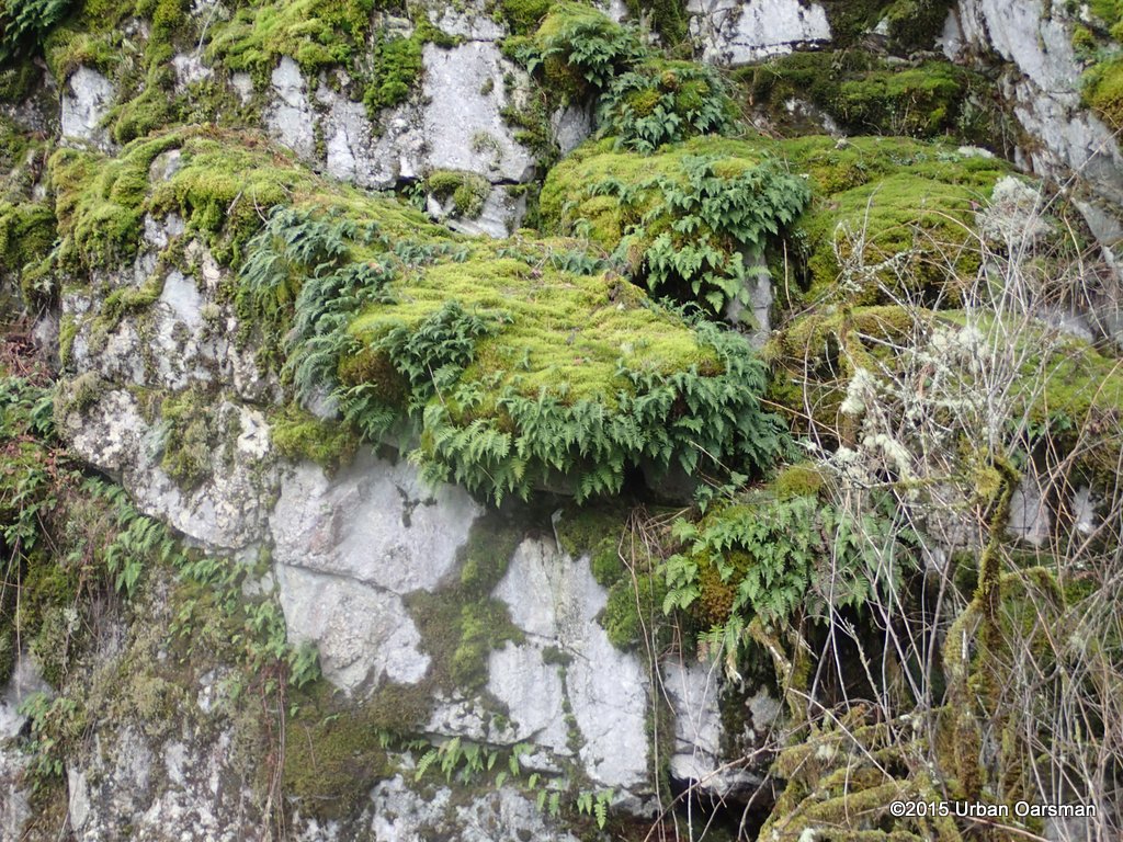
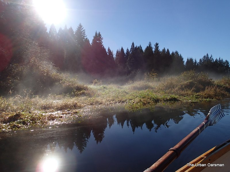
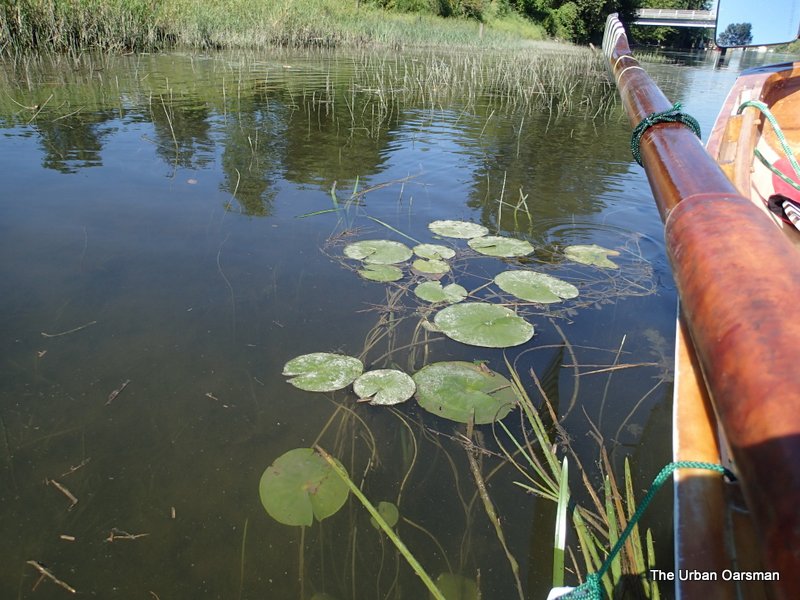
A small creek enters Pitt Lake on the South side of the rock face.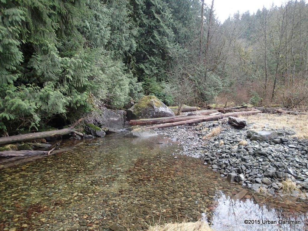
I pull Gwragedd Annwn up on the shore and take a look at the creek.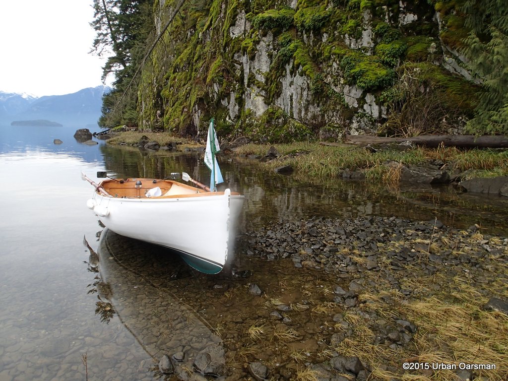
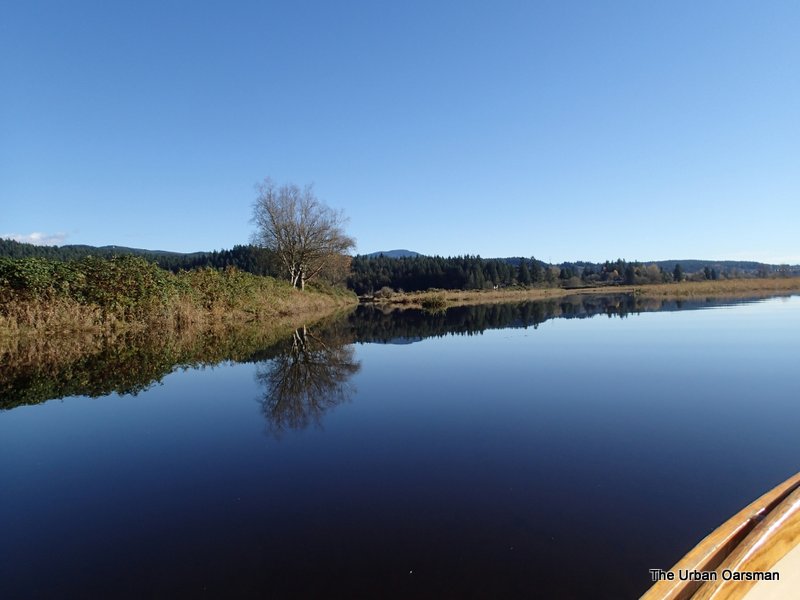
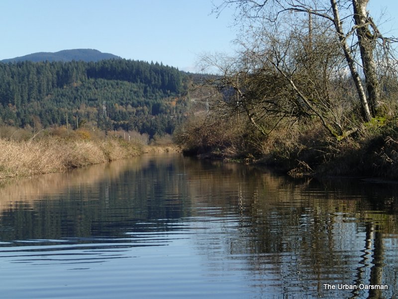
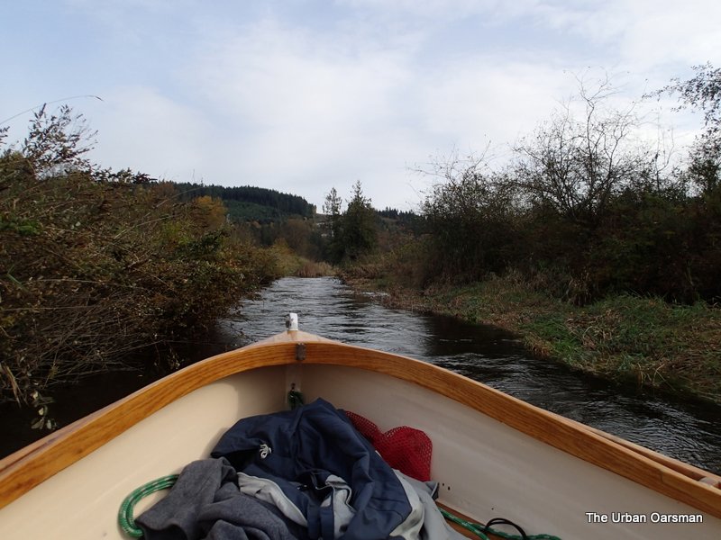
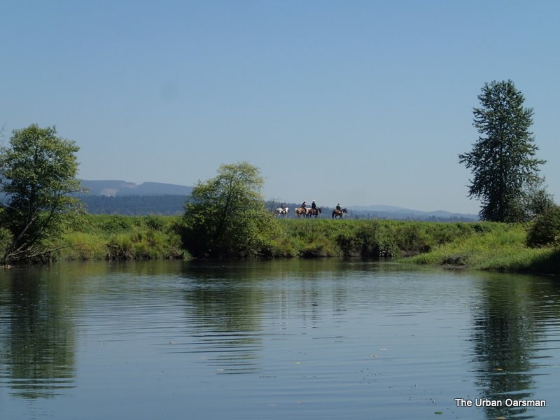
Looking South, down the lake on the Eastern shore.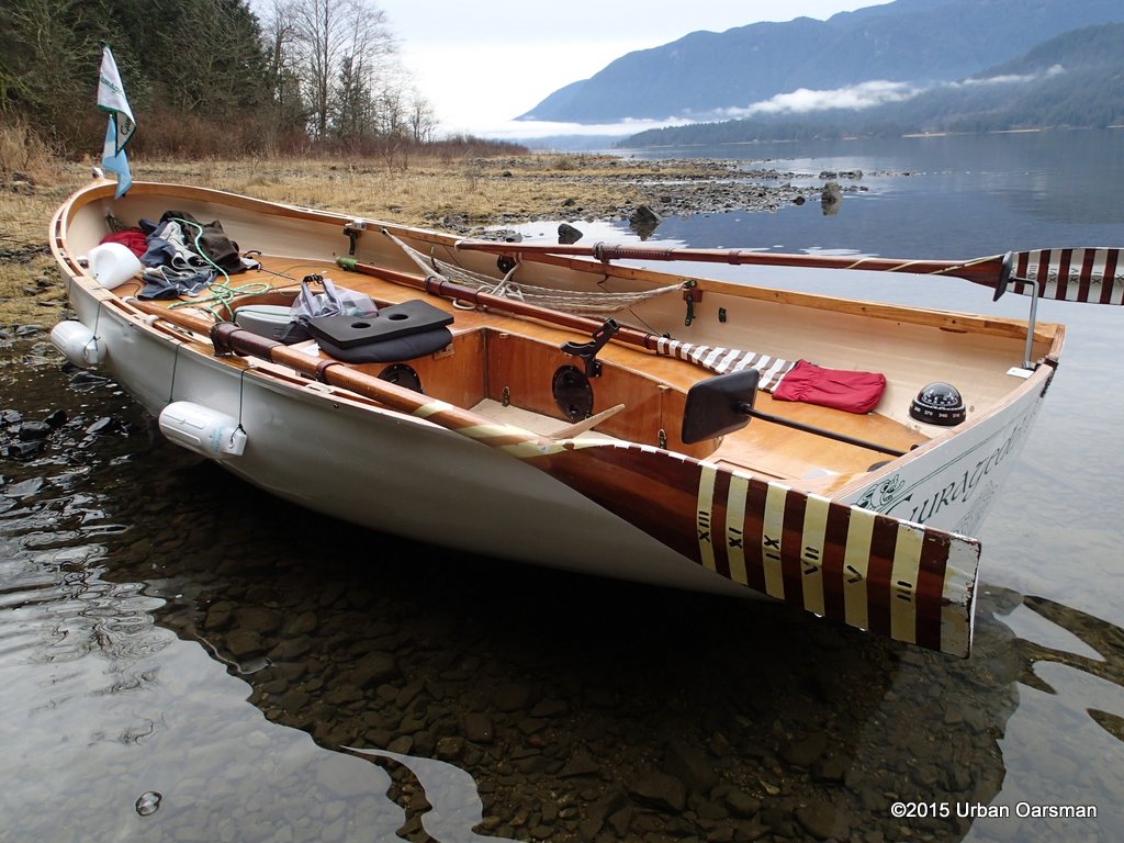
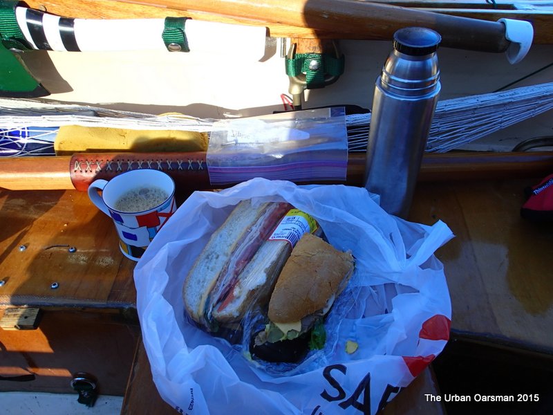
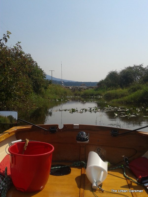
Lunch time for the Urban Oarsman.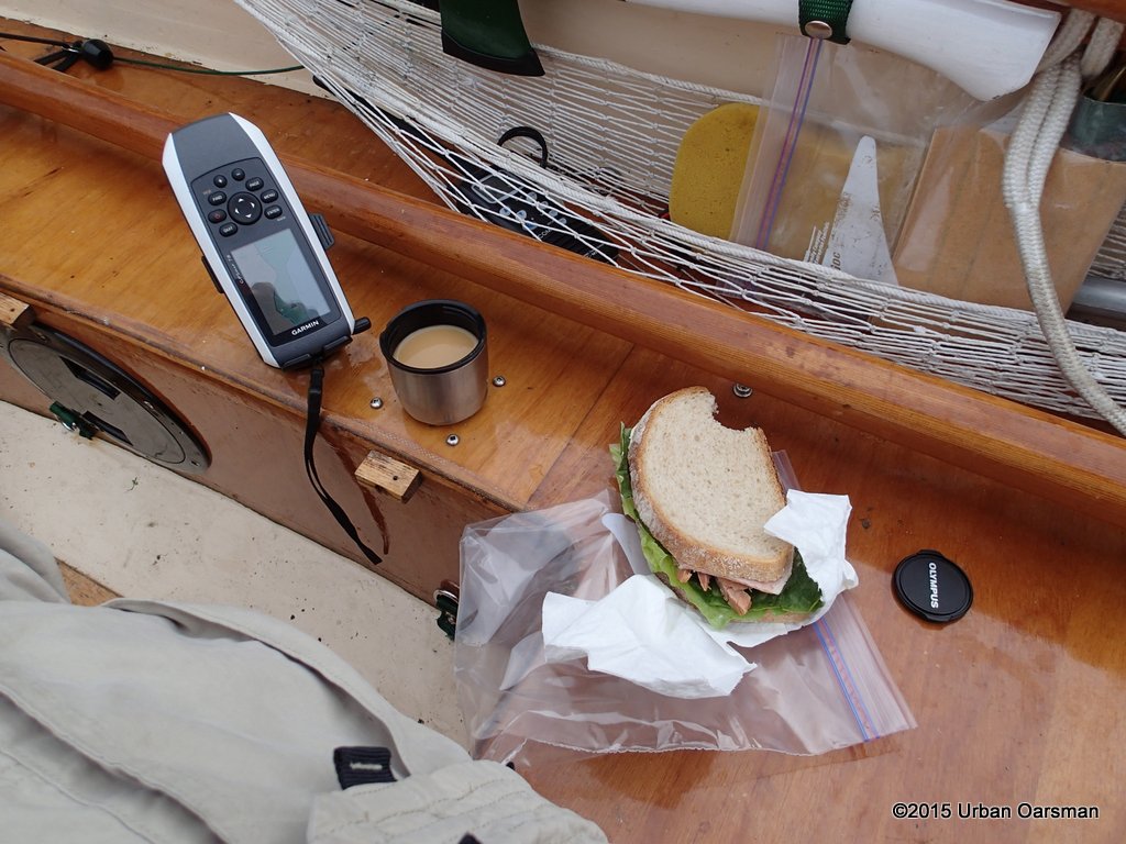
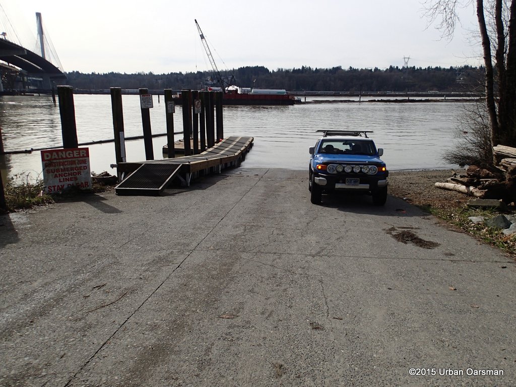
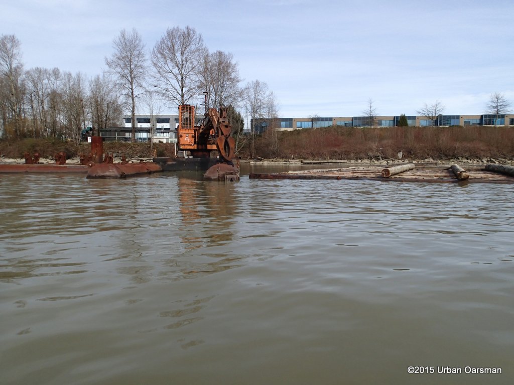
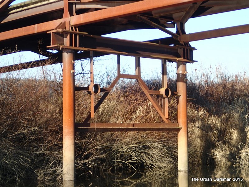
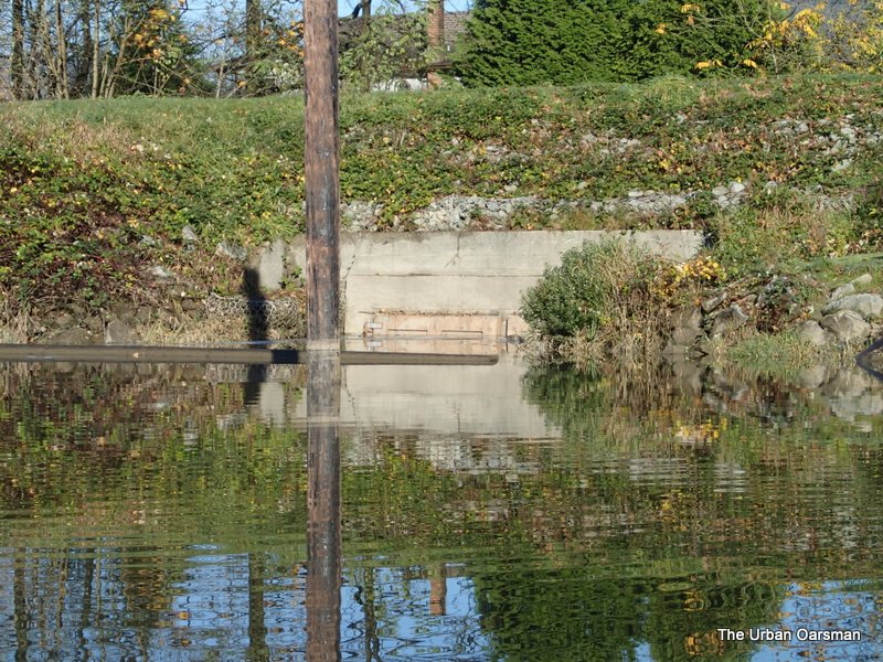
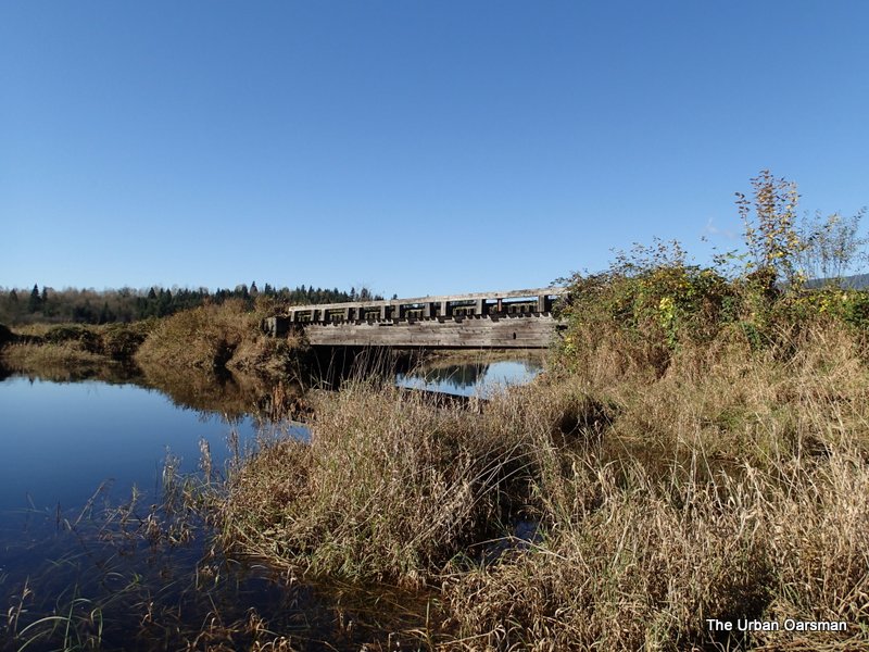
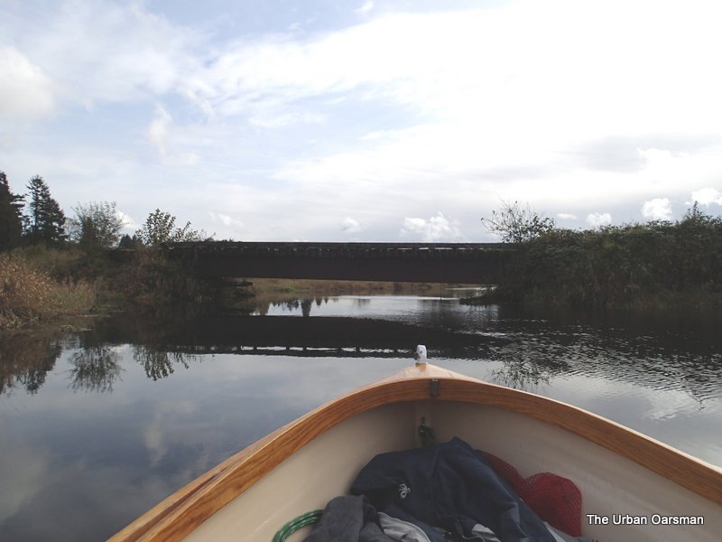
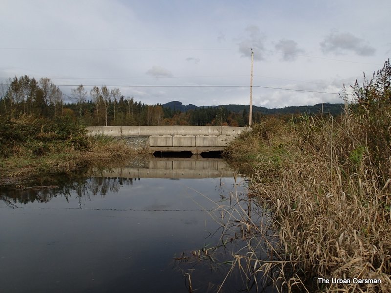
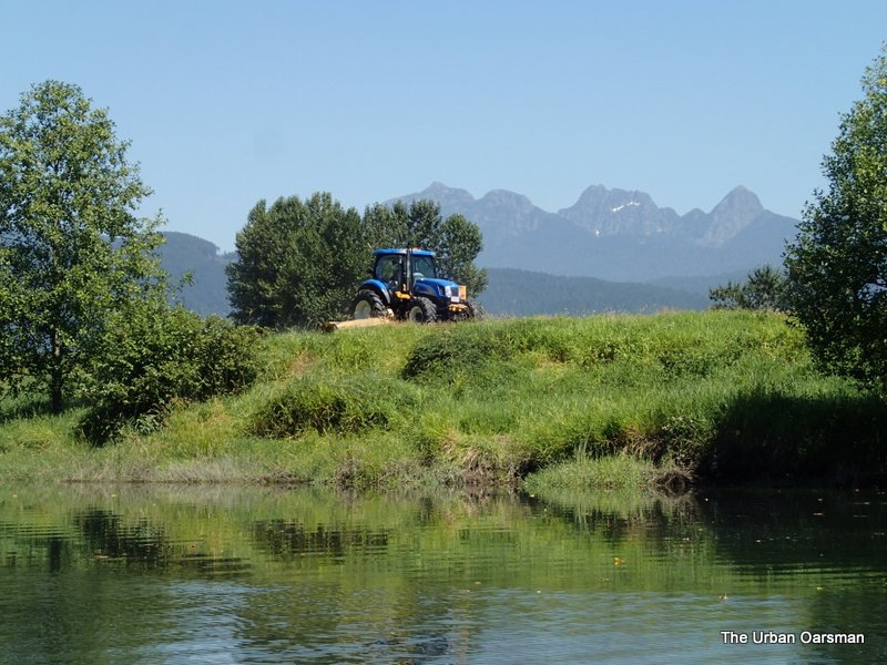
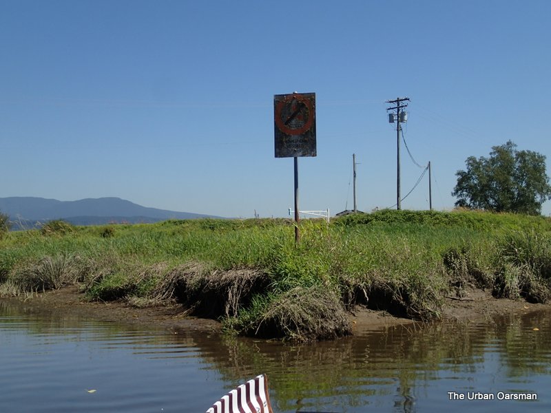
A boat dock at the end of the road on the dyke. The gate to it is at Grant Narrows. 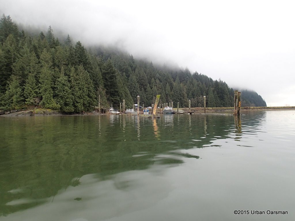
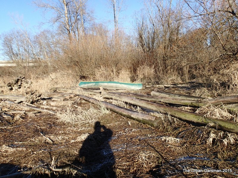
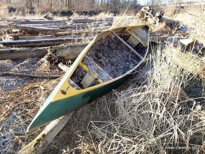
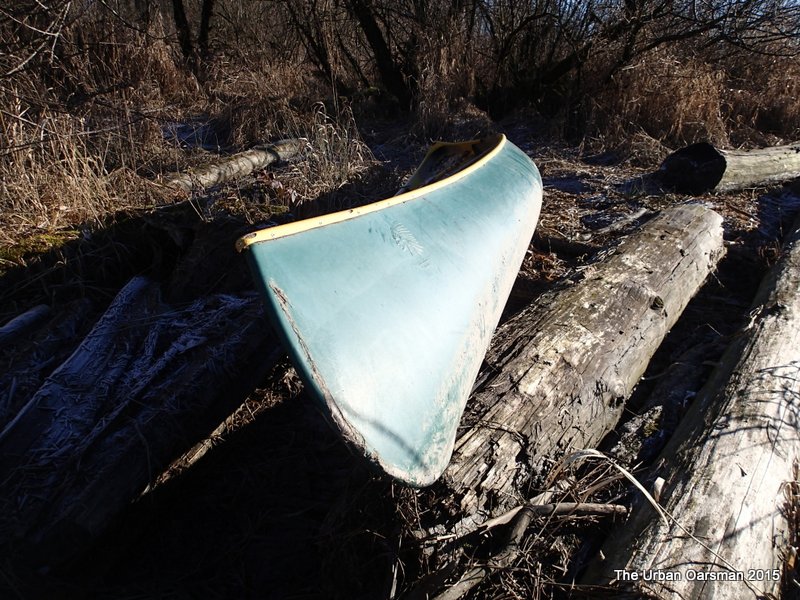
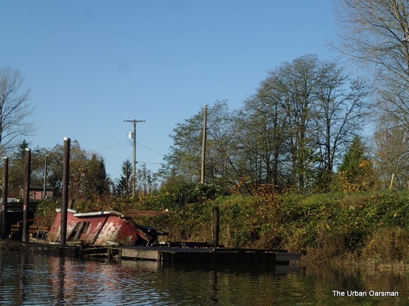
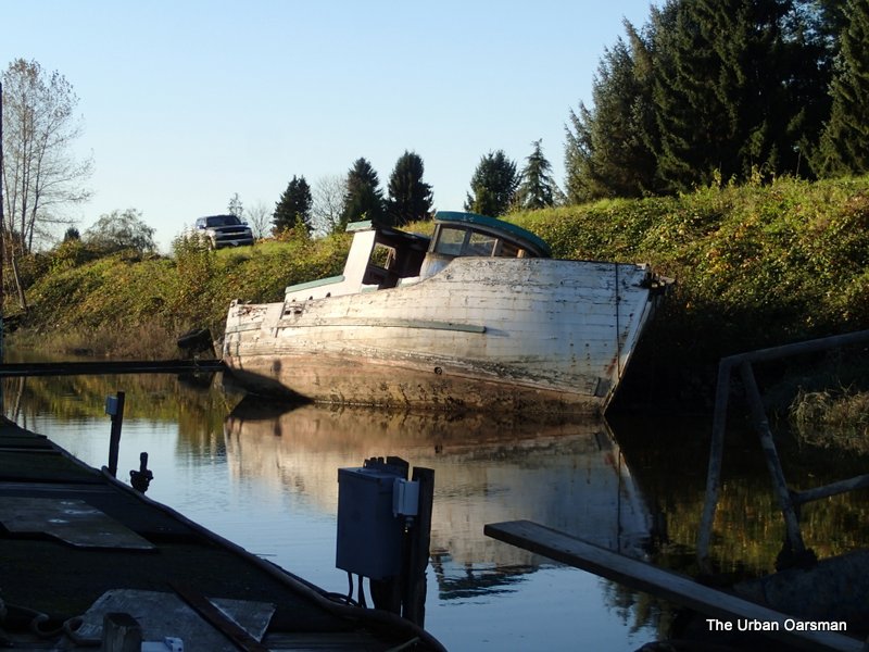
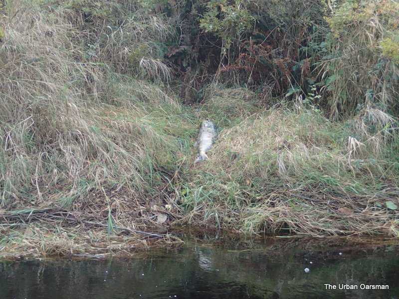
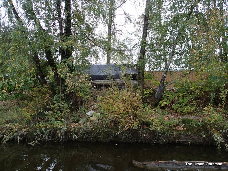
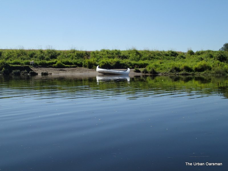
Dead boat on the side of the dyke.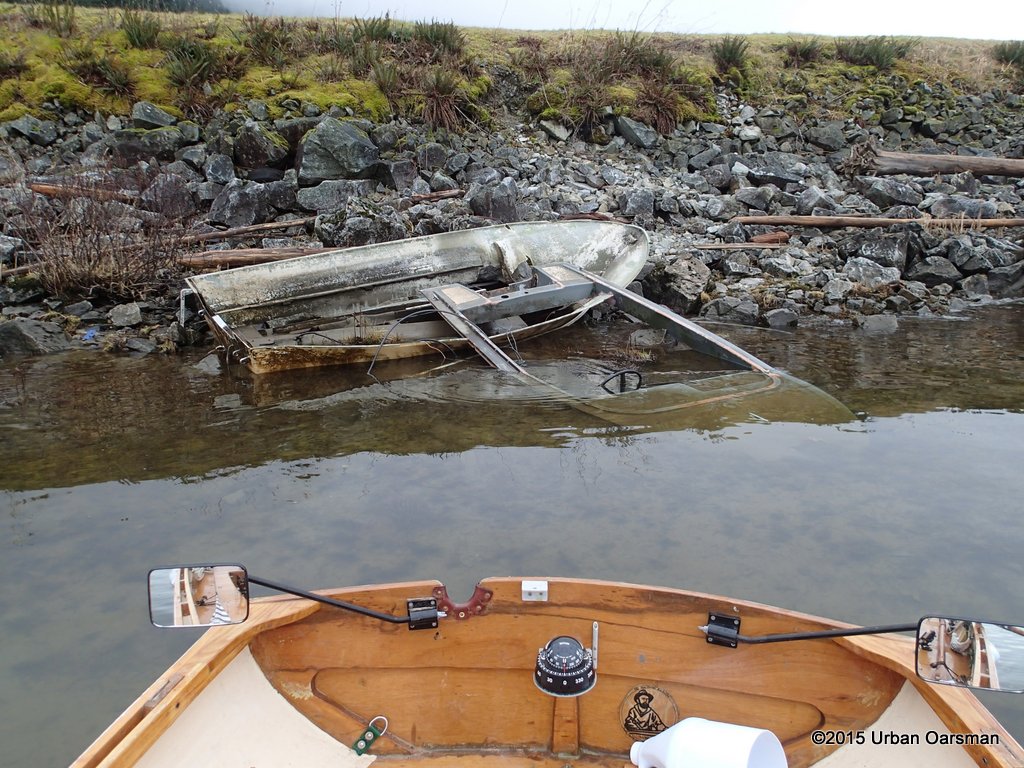
Dead plant pot on the side of the dyke.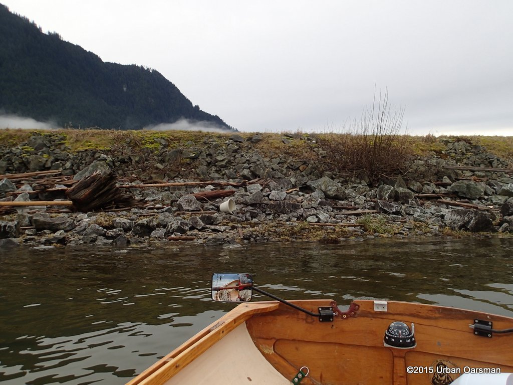
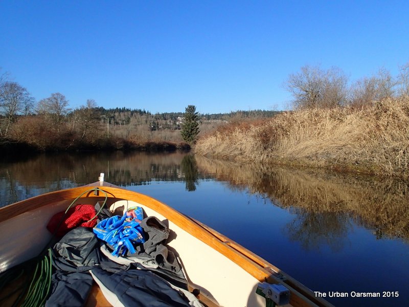
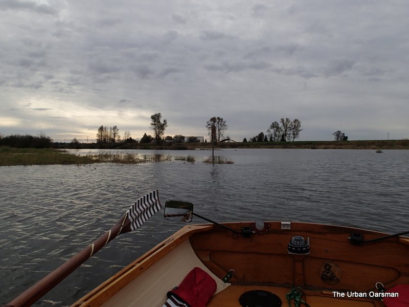
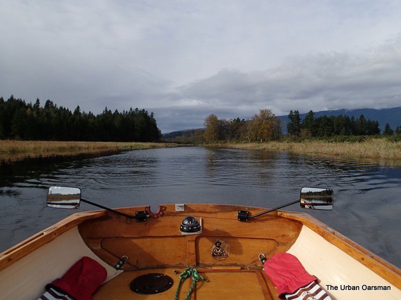
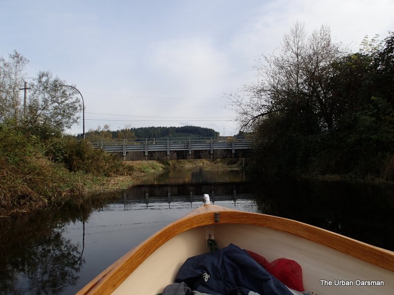
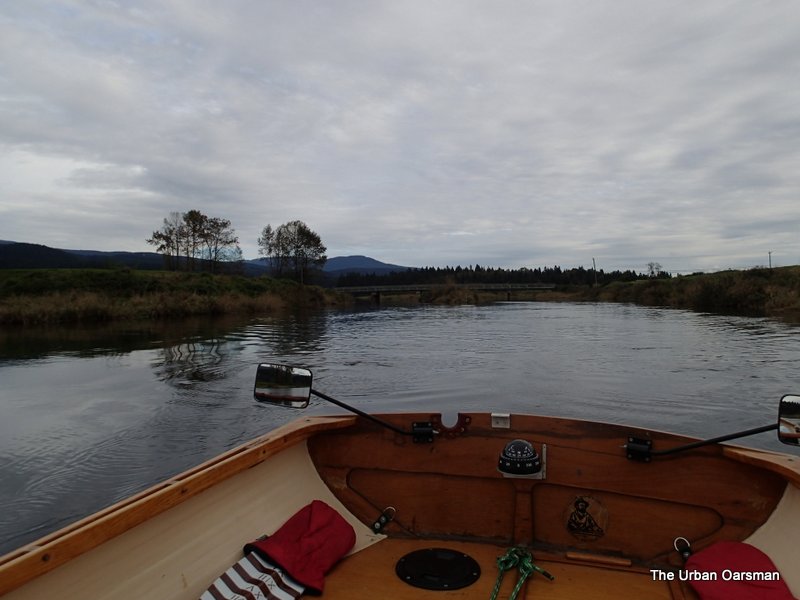
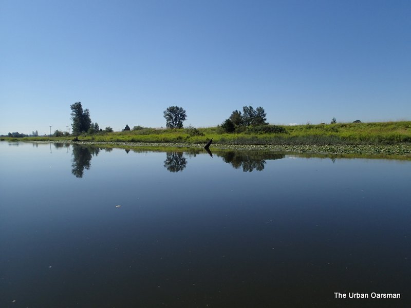
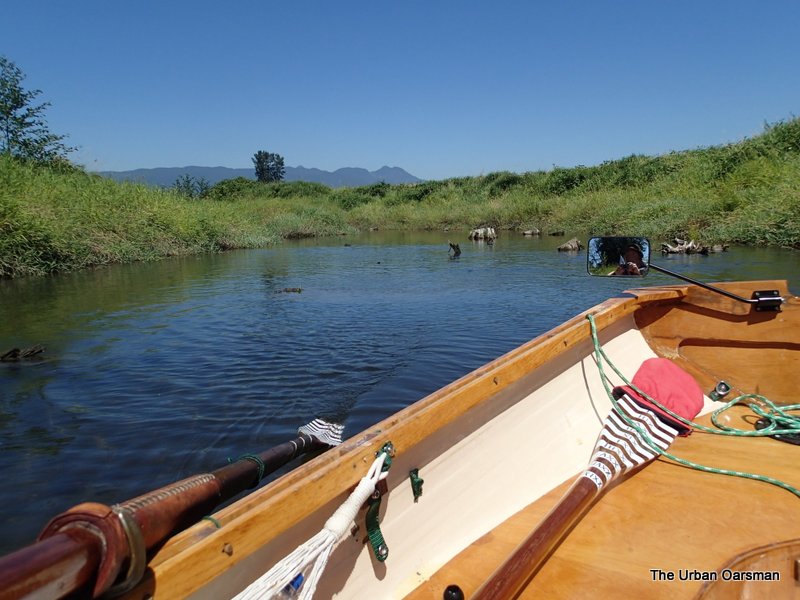
Looking up lake.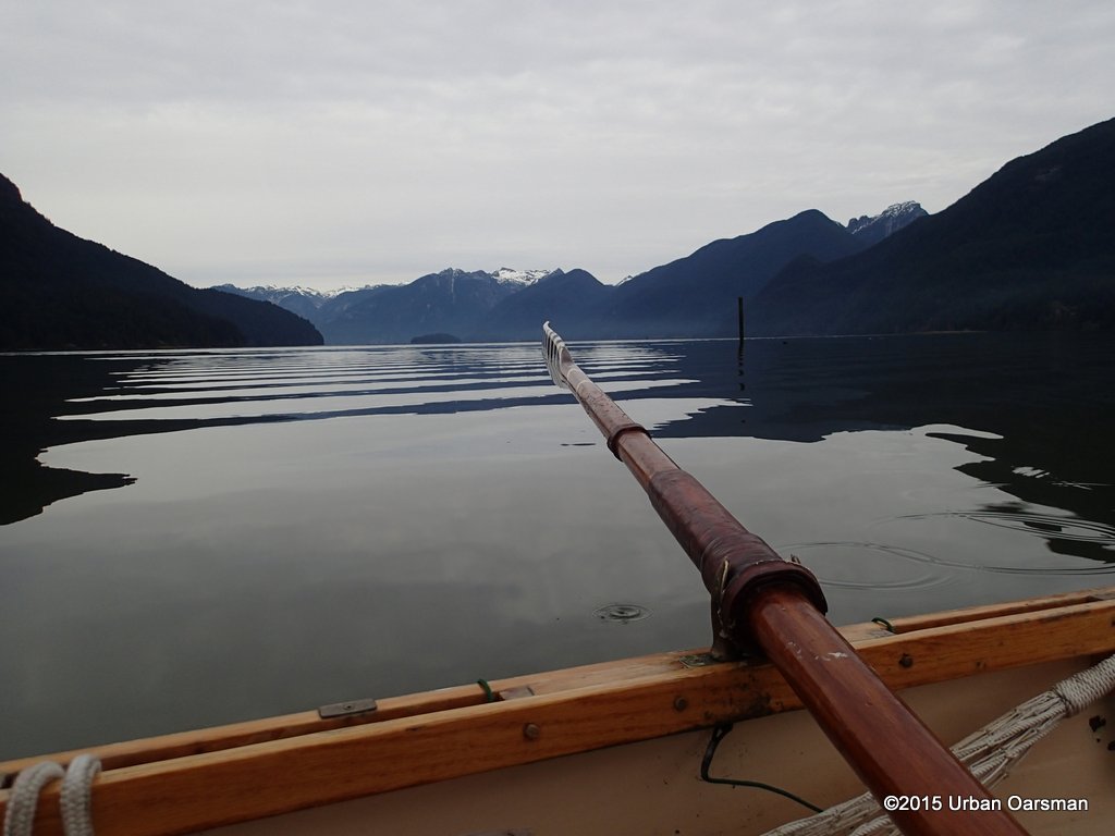
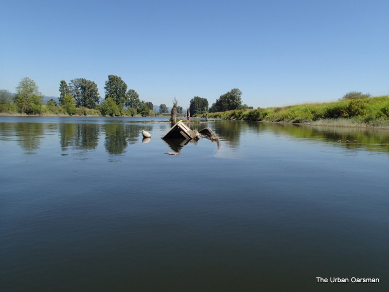
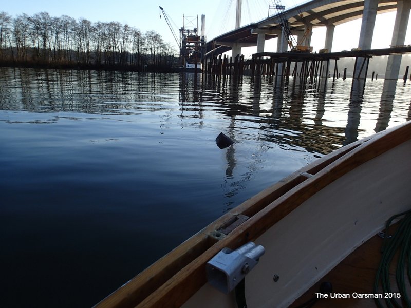
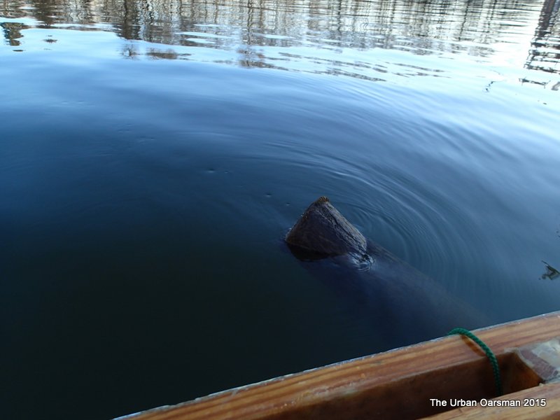
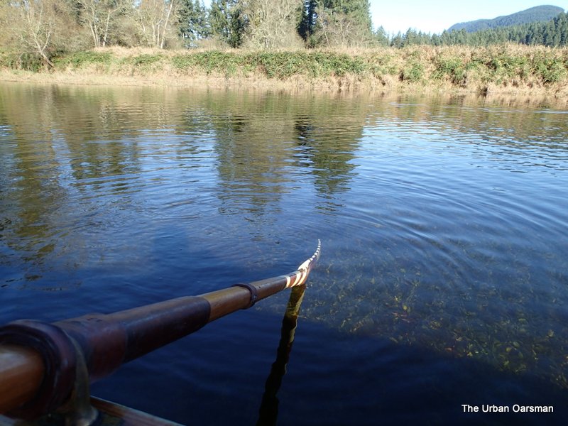
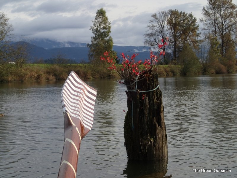
The piling shows that the current is still going upstream into the lake.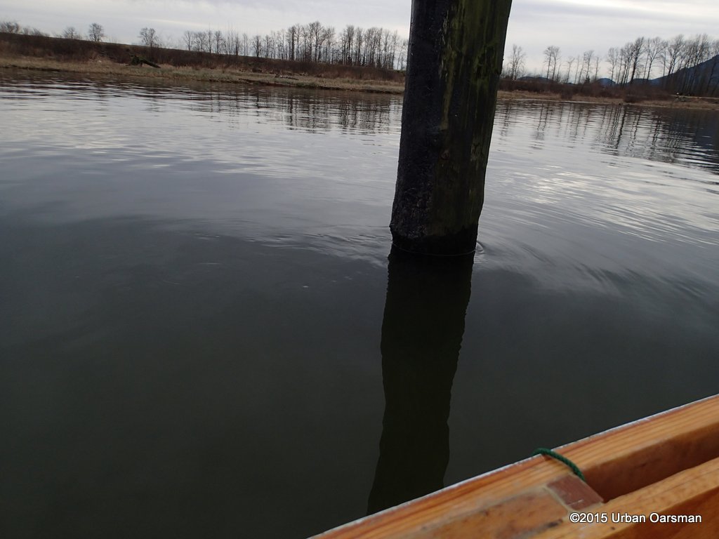
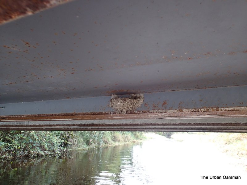
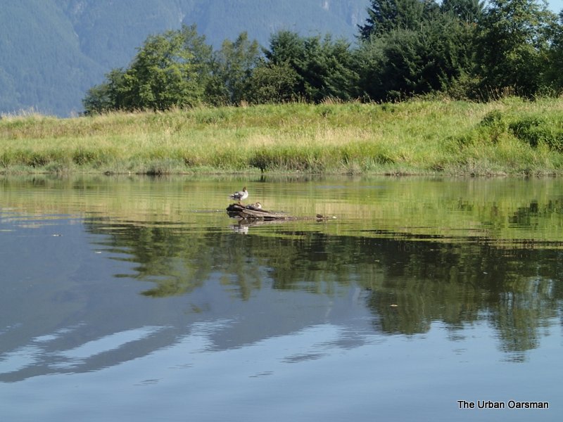
Osprey or Eagles nest on a piling.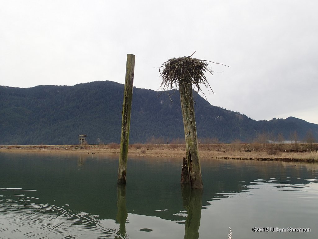
Lets have a look at the chart again, and try the South enterance to the North Slough.
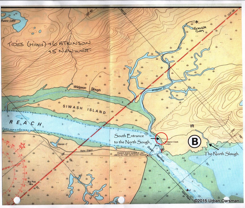
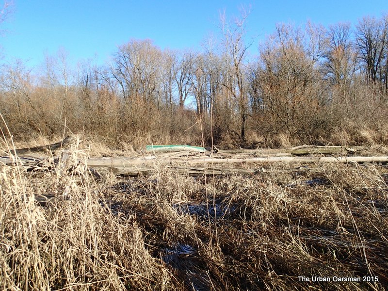
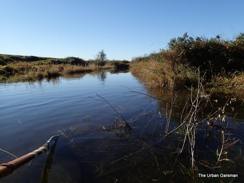
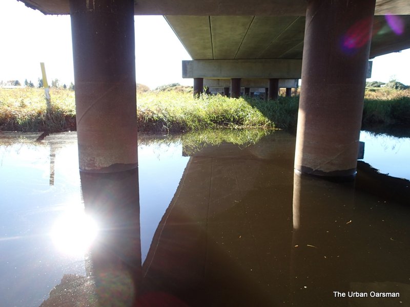
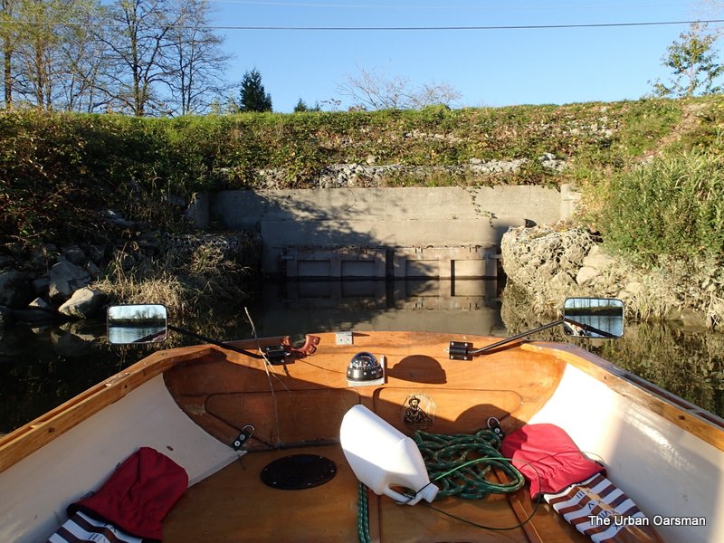
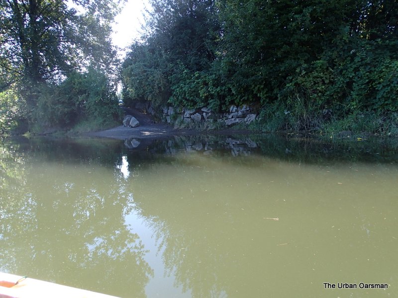
The South entrance to the North Slough. I will try and see how far in I can get with Gwragedd Annwn.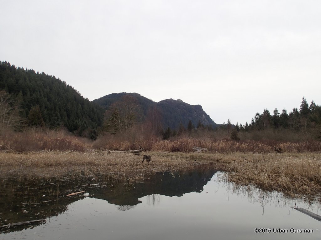
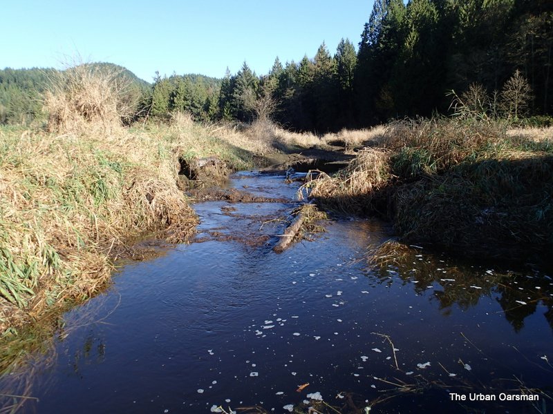
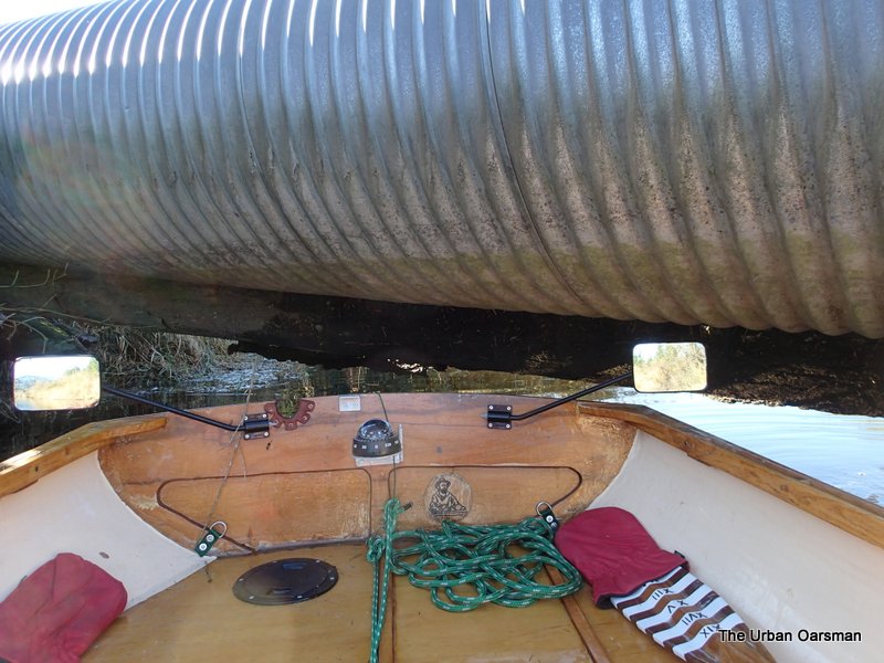
Not very far. Big logs block the way. Need a chain saw. A big chain saw.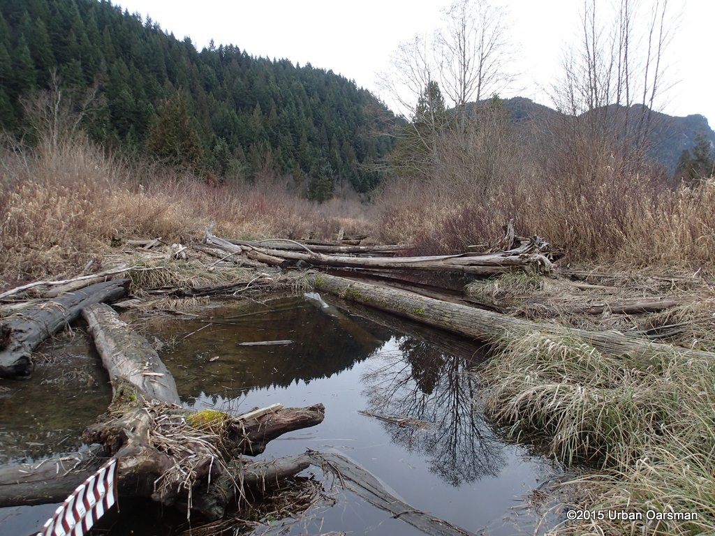
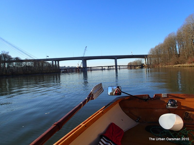
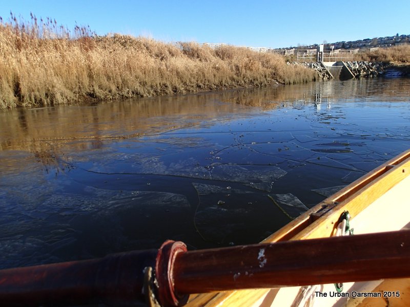
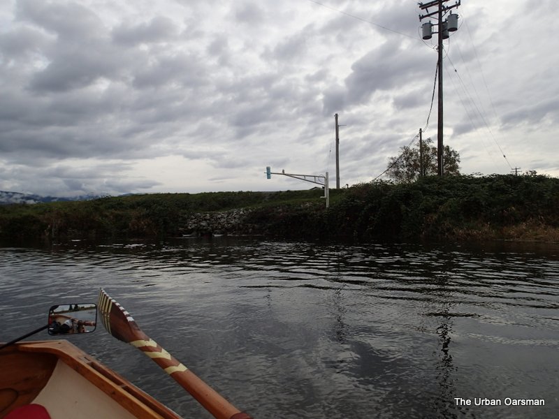
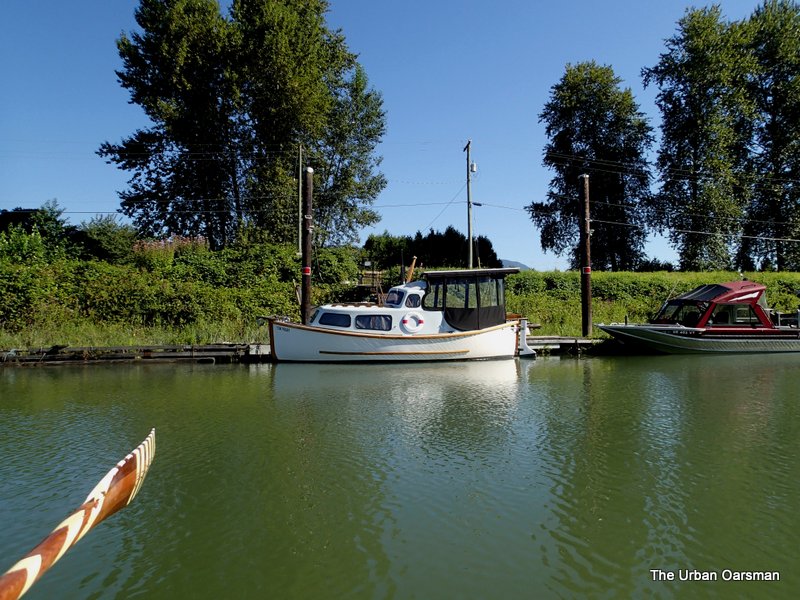
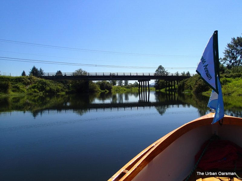
Looking back out of the channel at the Grant Narrows boat launch. Time to go home.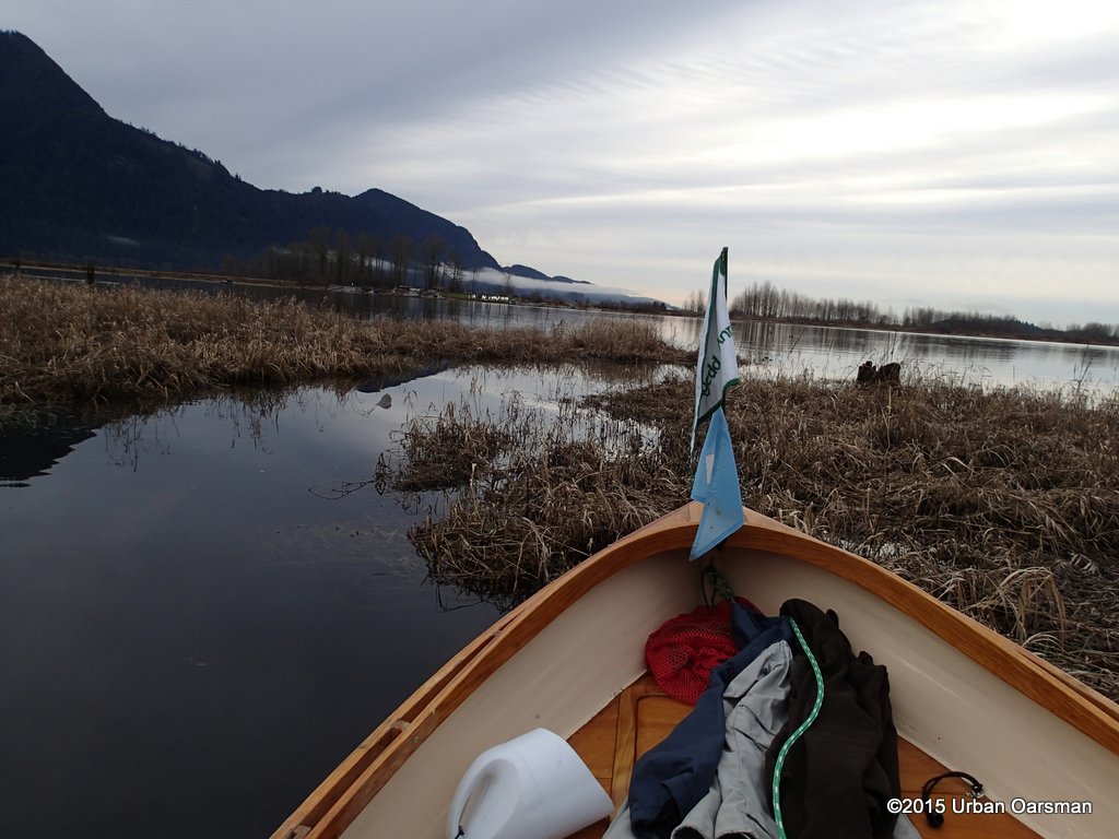
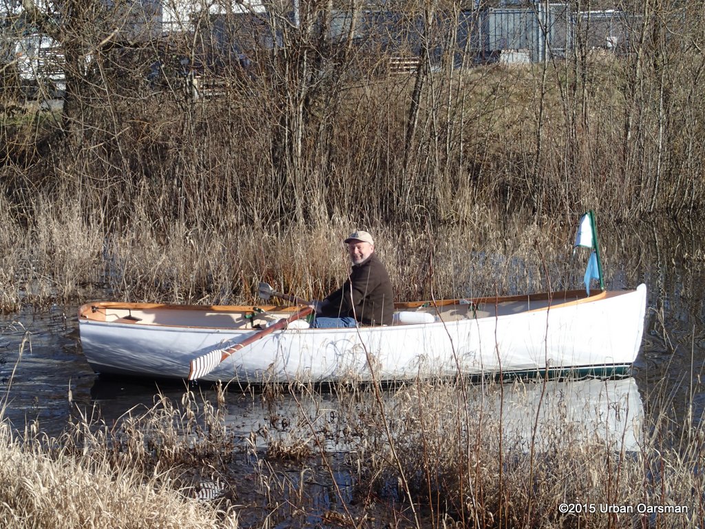
A good way to spend my last day before retirement.
Happy Rowing.
Mike
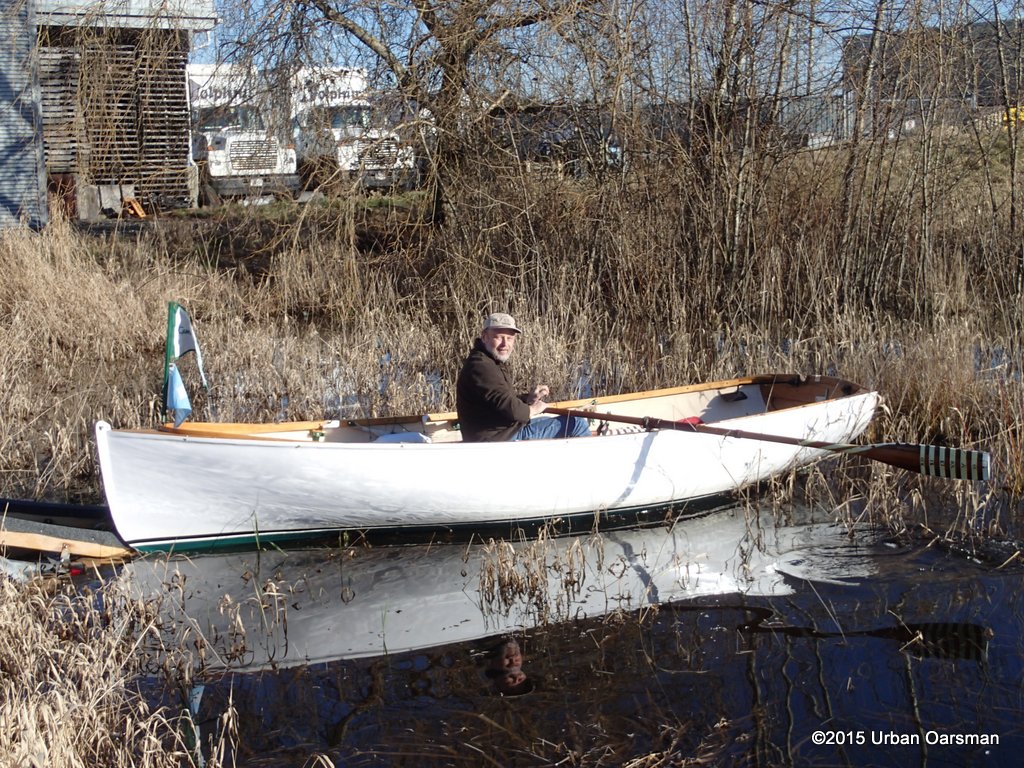


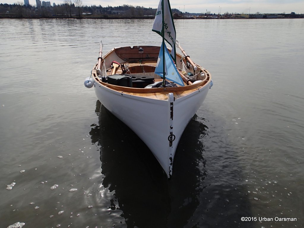
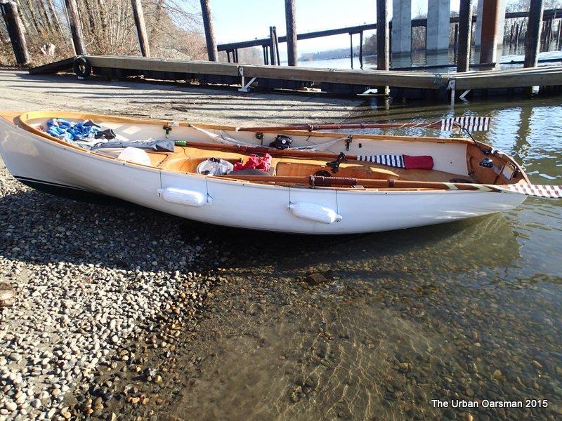

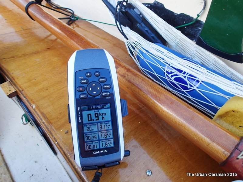
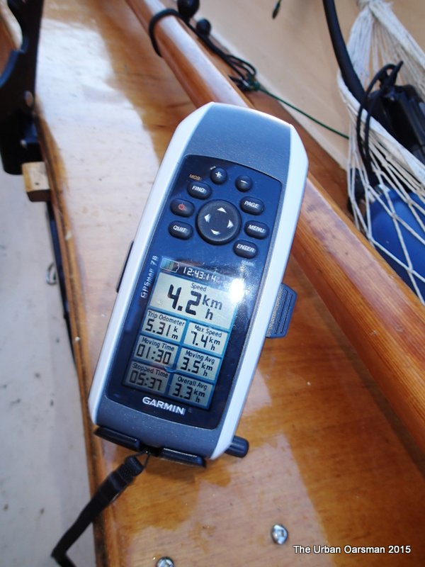

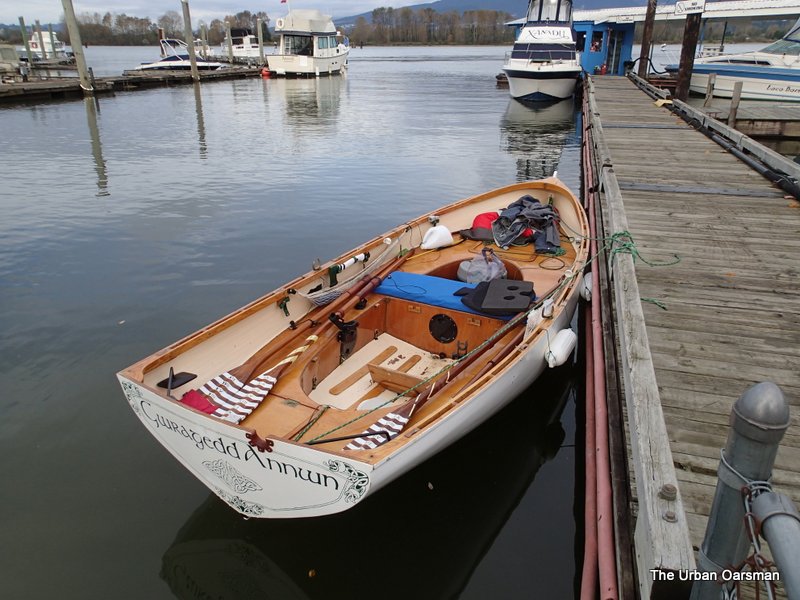
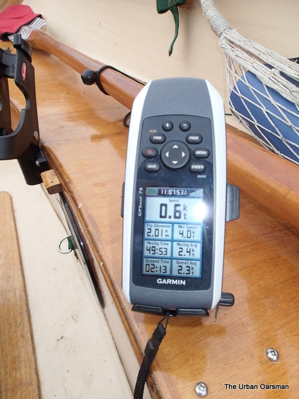

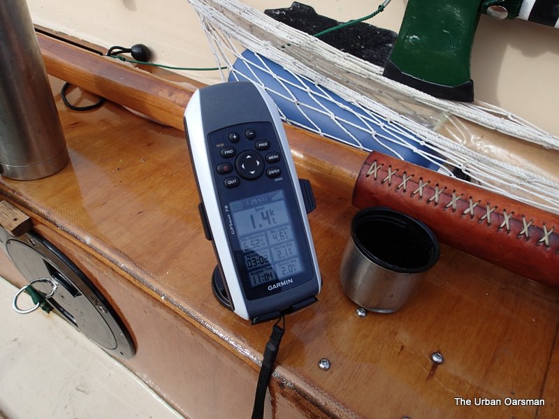

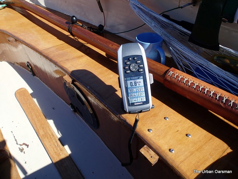
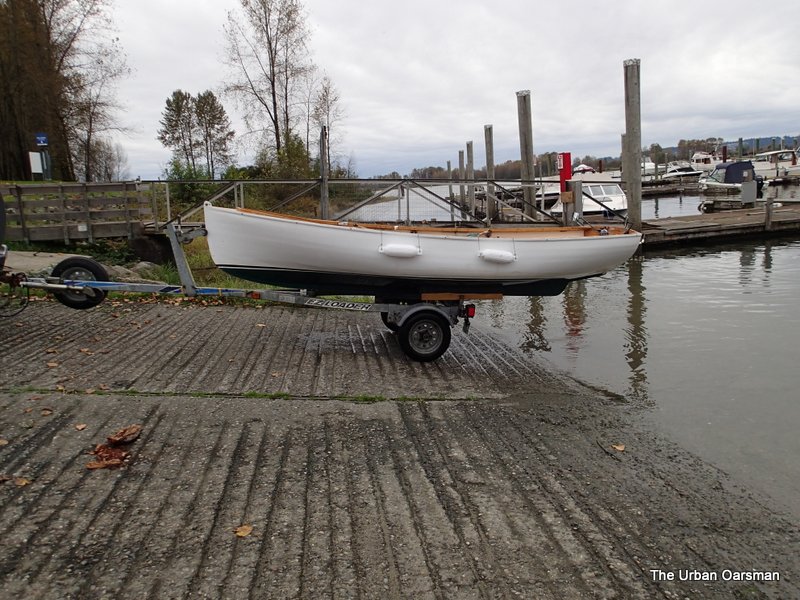 Gwragedd Annwn on her trailer. The water is still quite high. I believe that the footbrace worked well. I could row faster with less effort. 5 hours and 36 minutes of rowing to cover 21.6 kilometers at an average speed of approximately 3.8 km/hr.
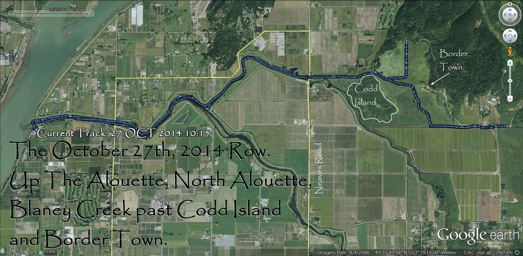
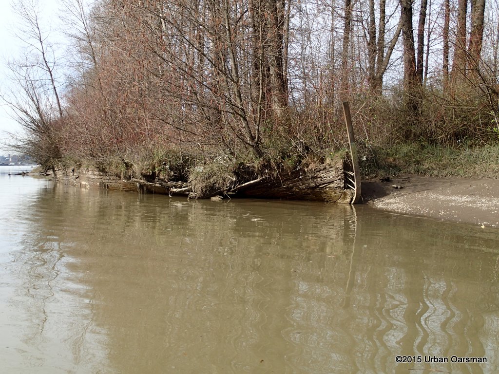
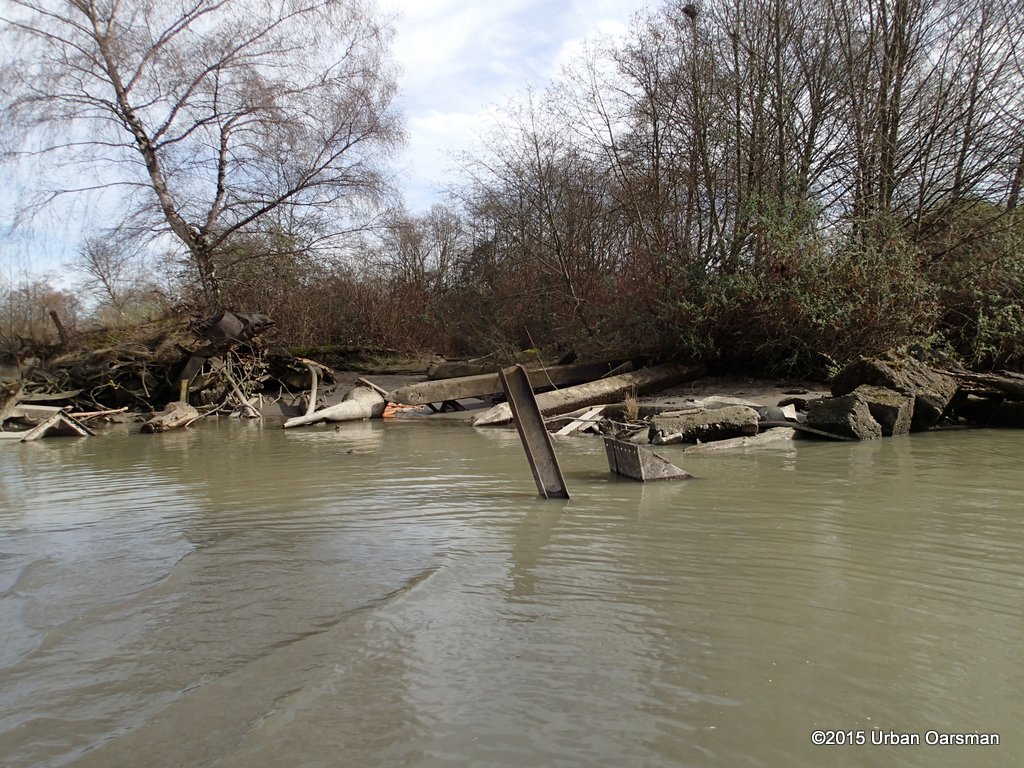
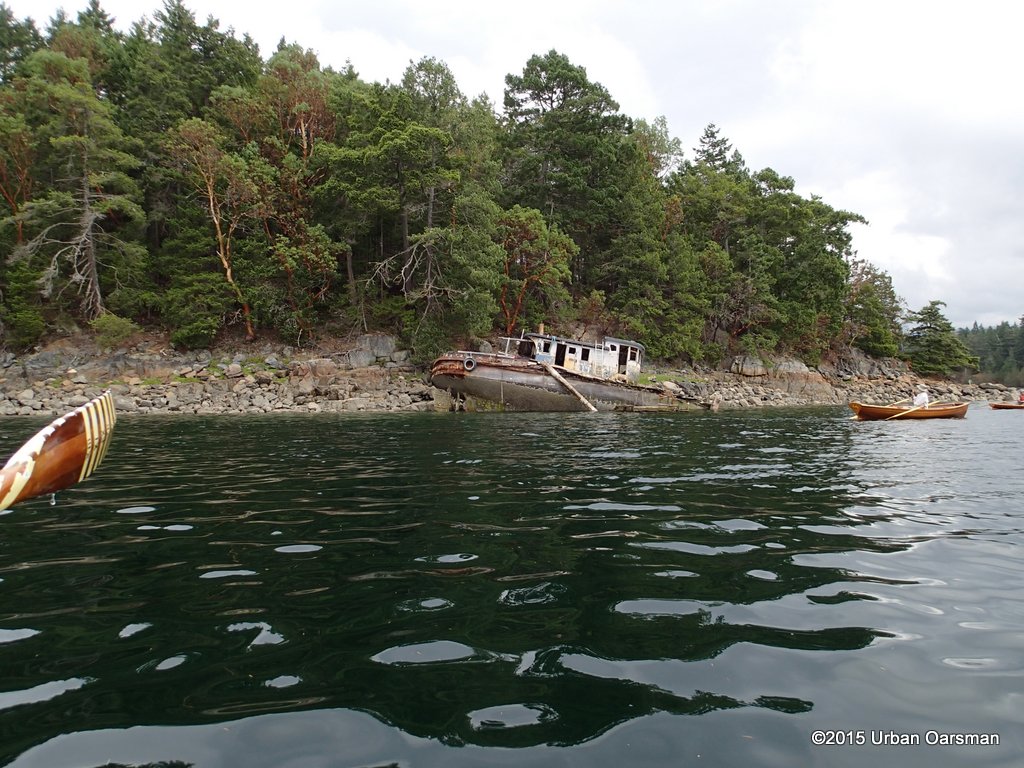
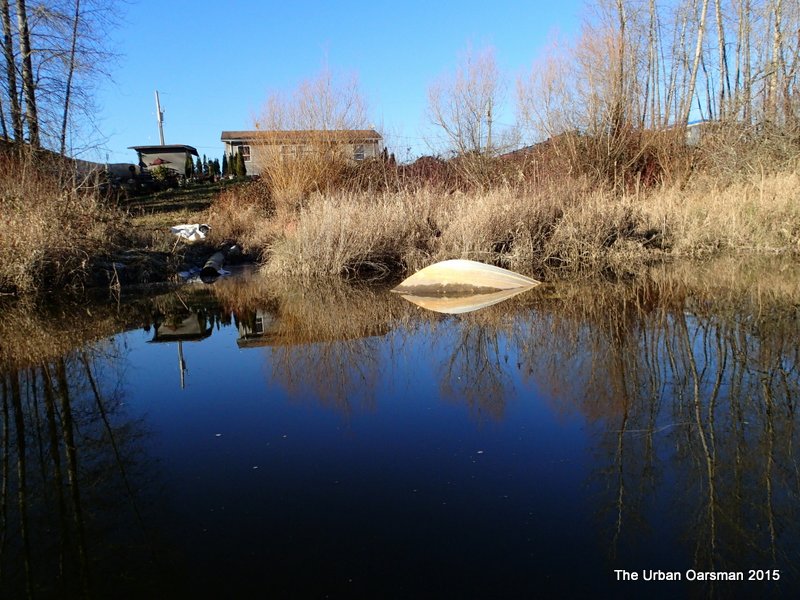
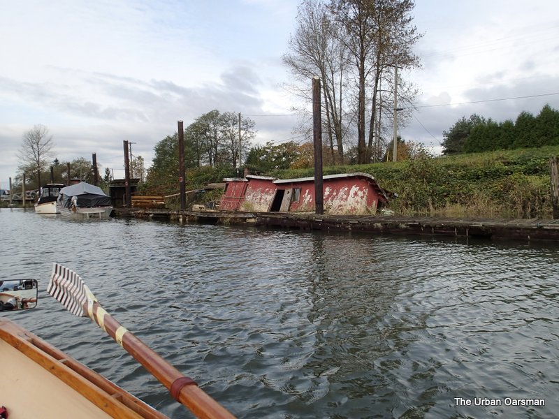
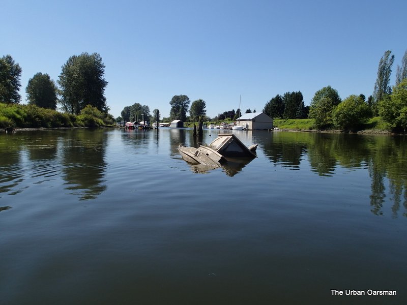 Sunken boat on the South shore.