July 28, 2014. The Alouette past Neaves Road Bridge.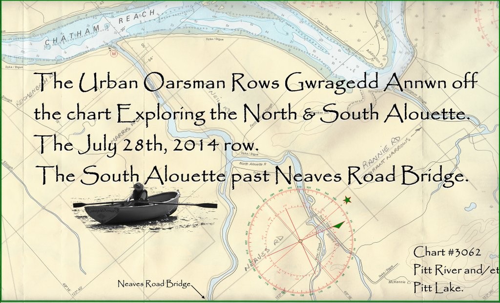
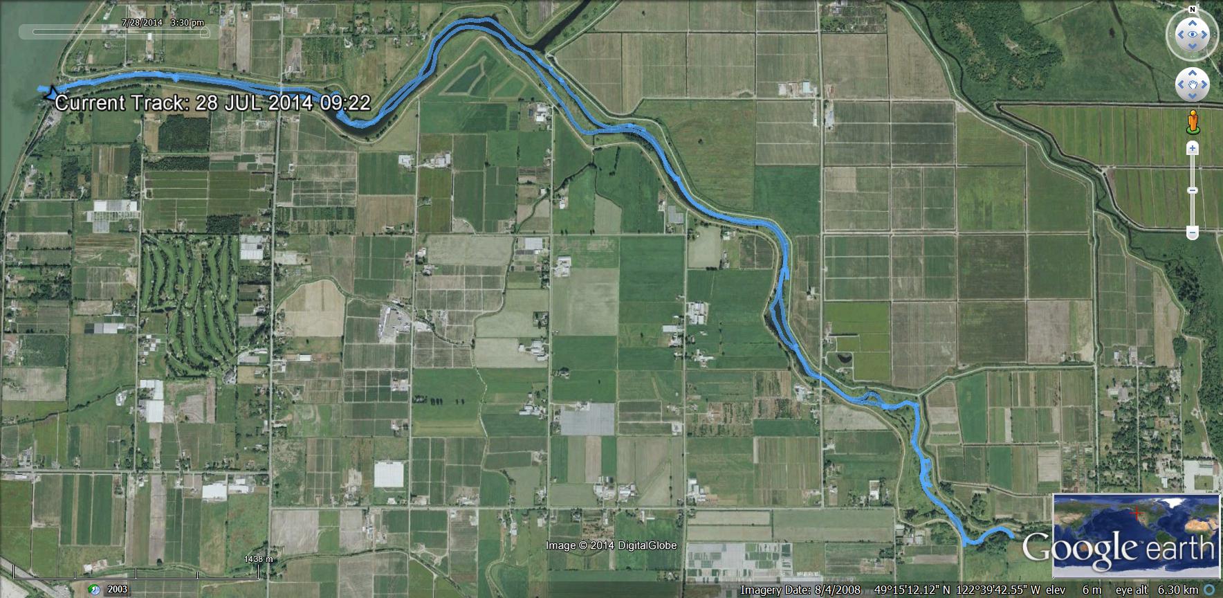
GPS Track of the Row pas the Neaves Road Bridge.
The last time I rowed the Alouette I ran out of time at the Neaves Road Bridge. Today, starting an hour earlier, I will row past the bridge and as far up the Alouette as I can get.
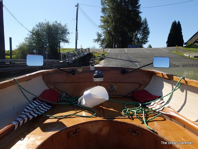 Gwragedd Annwn leaving the Pitt Meadows marina float.
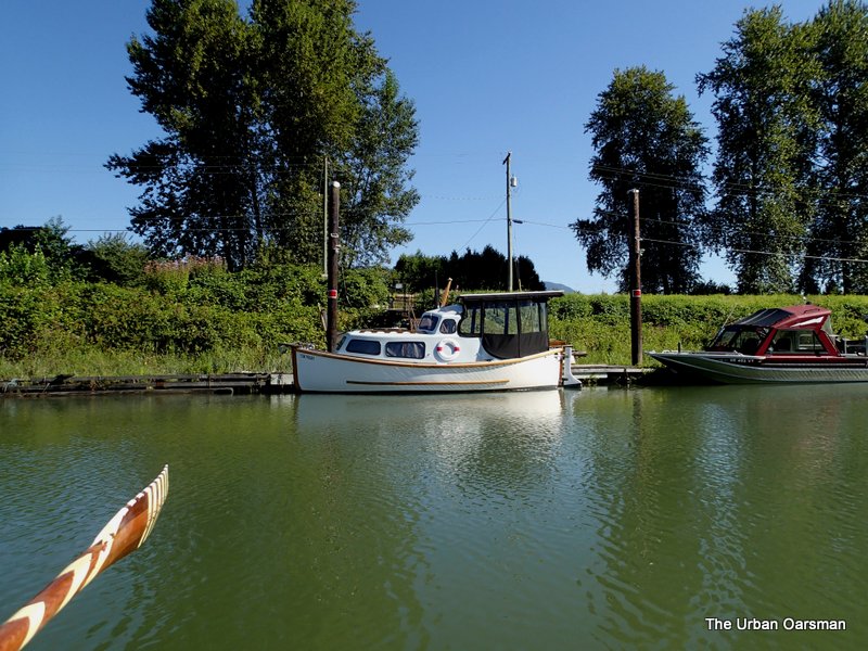 The electric Davidson Chugger, “Watts Up”.
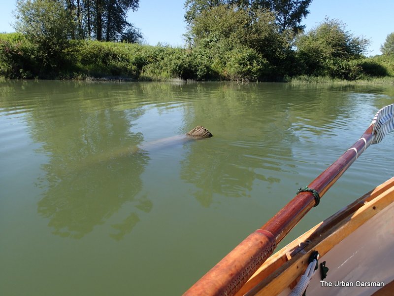 One of the snags I avoided. The ripples trailing from the log show the current going downstream. The tide is falling and will drop throughout the Row. The green whipping on my oar is to hold the oar at the correct place in the sculling notch in Gwragedd Annwn’s transom.
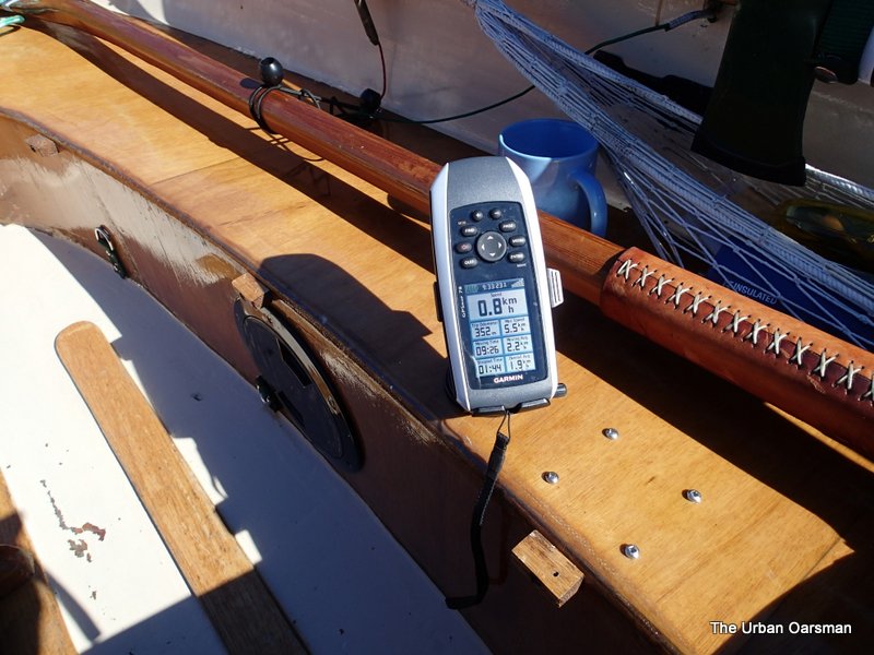 The GPS reading of the speed of the current I am rowing against. 0.8 km/hr.
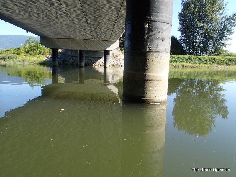 Passing under the Harris Road bridge.
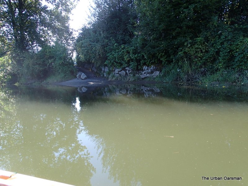 The path to the river from the parking lot at Harris Road and the Alouette. You can launch your hand-carried or cartop boat from here and avoid the $17.00 fee at the Marina.
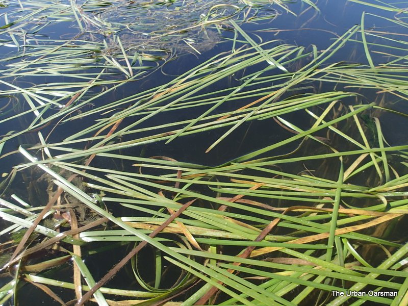 There is not much current near the shore.
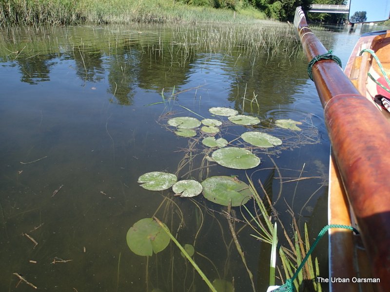 Indian Pond Water Lilies.
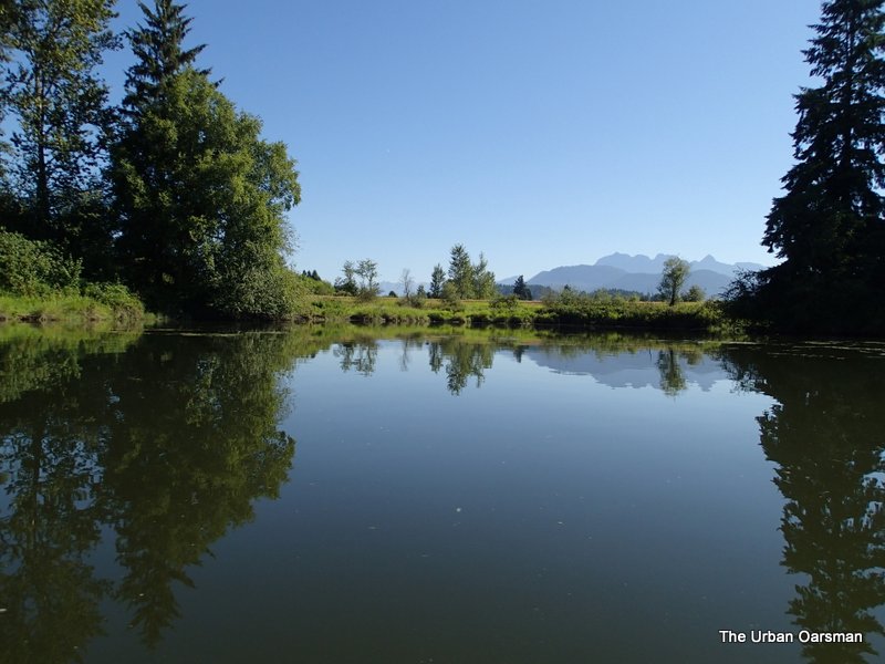 There is an indent on the North bank. Just past it the Alouette turns almost 90° to the North East.
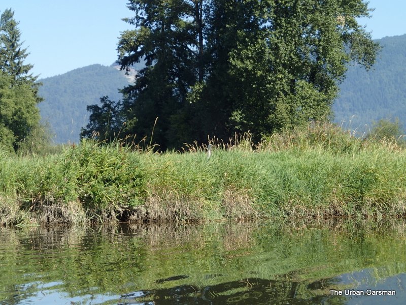 I know that it is hare to see, but, there is a Blue Heron in the grass at the centre of this picture.
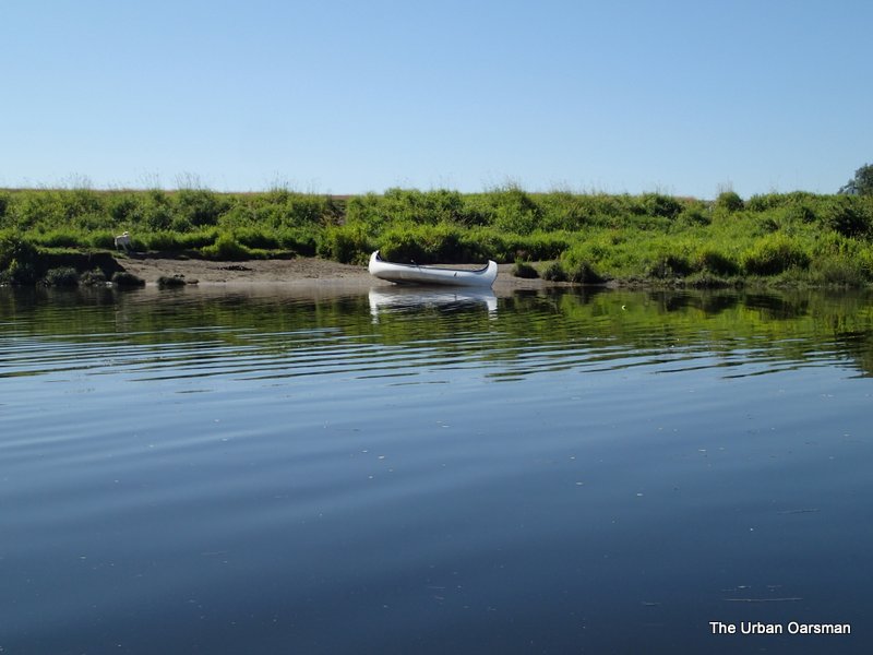 This canoe is from the Pitt Meadows Paddling Club.
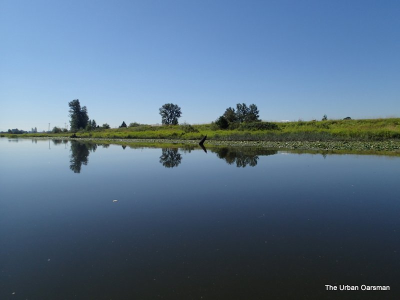 The South shore is covered with Indian Pond Water lilies.
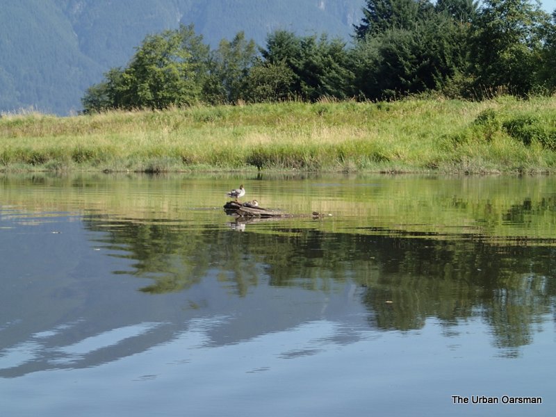 I did not run into the snag with the ducks.
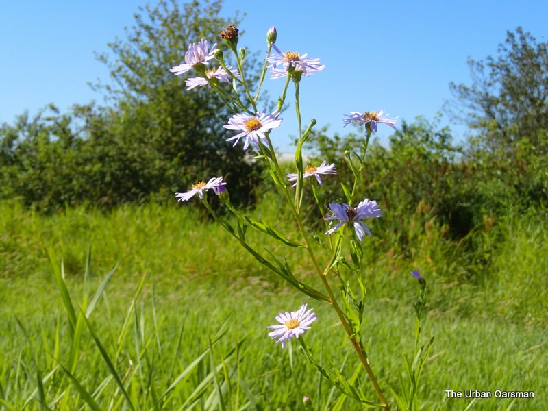 Probably Pink Fleabane.
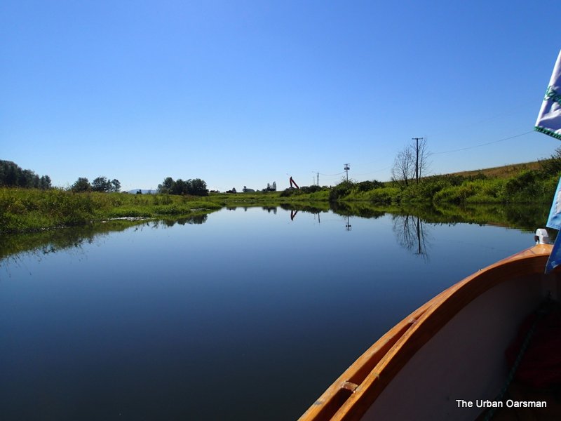 Looks as if they are still working at Cranberry Slough.
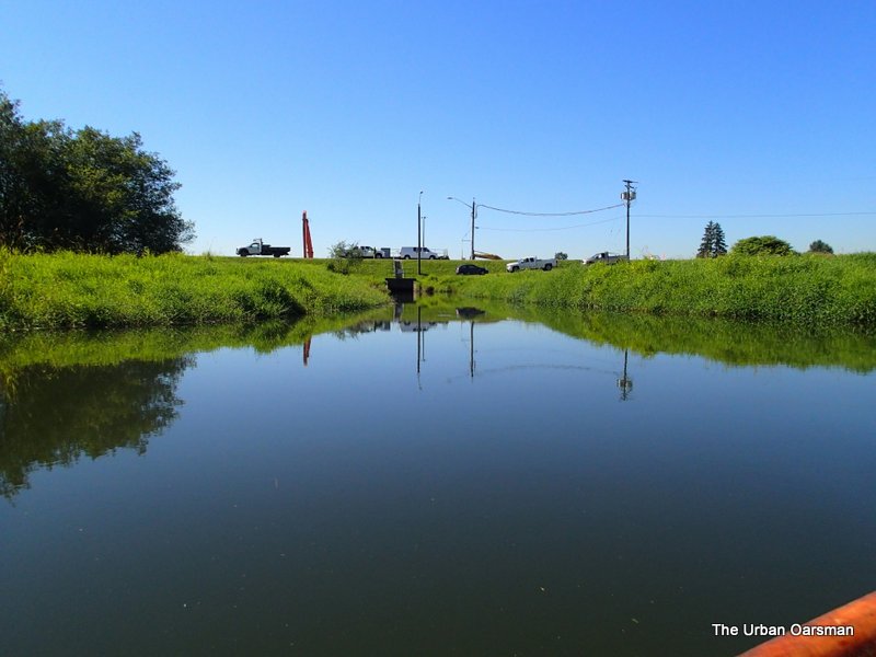 The water is a little higher than the July 22nd Row.
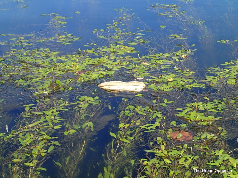 Thankfully there was no foot in this shoe.
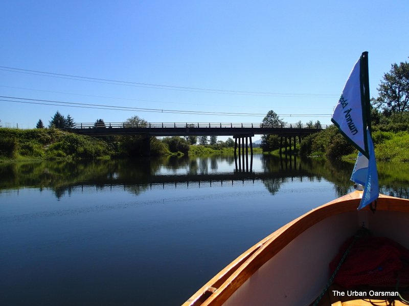 The Neaves Road Bridge.
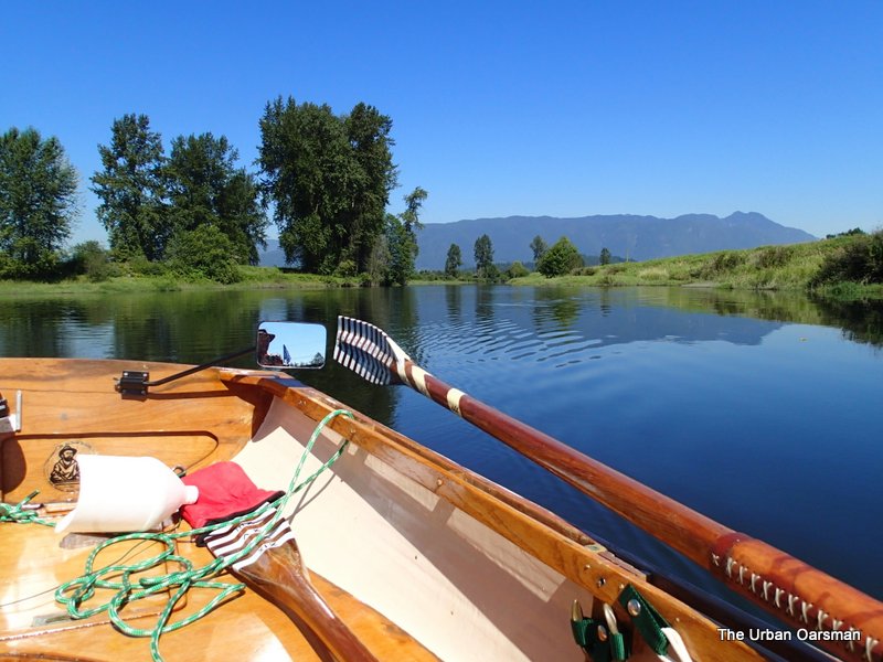 Downstream view at the bridge. Looking WNW.
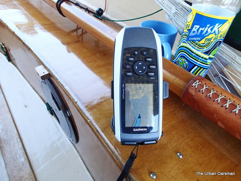 The GPS shows the end of the chart, (#3062, Pitt River and/et Pitt Lake).
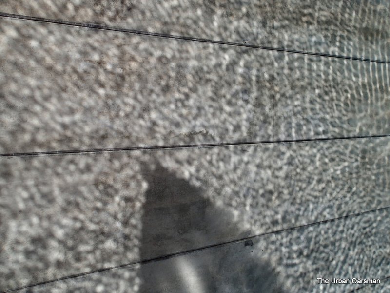 Reflection pattern on the underside of the Neaves Road Bridge. I row under the bridge. The shadow is Gwragedd Annwn’s bow.
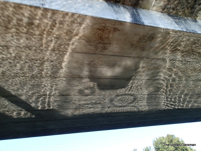 Gwragedd Annwn’s stern and bow wave shadows.
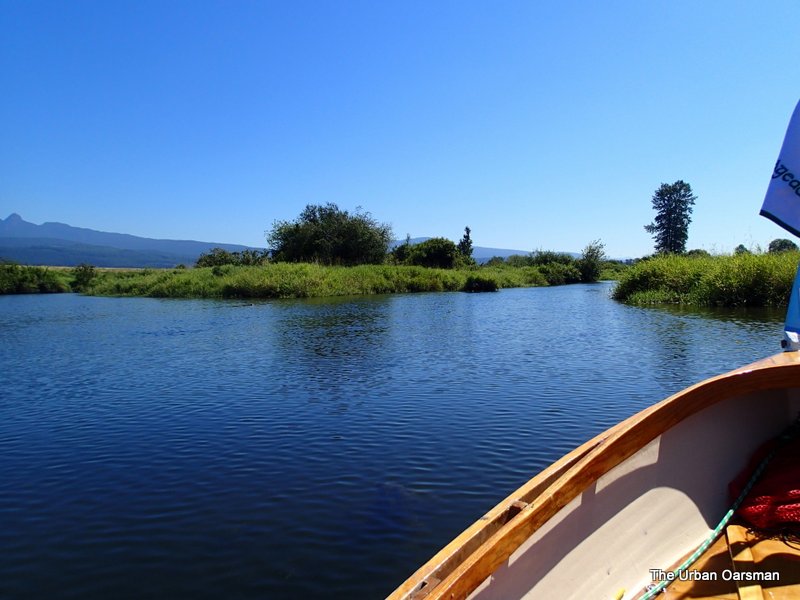 Past the bridge there are several islands in the river. I choose the starboard channel.
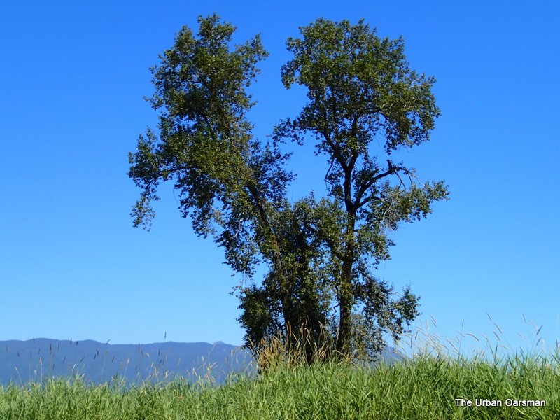 This tree looks a lot healthier than the one downstream on “Dead Tree Island”. If you go to Google Earth, you can see this tree and a log blocking the channel. The log is gone.
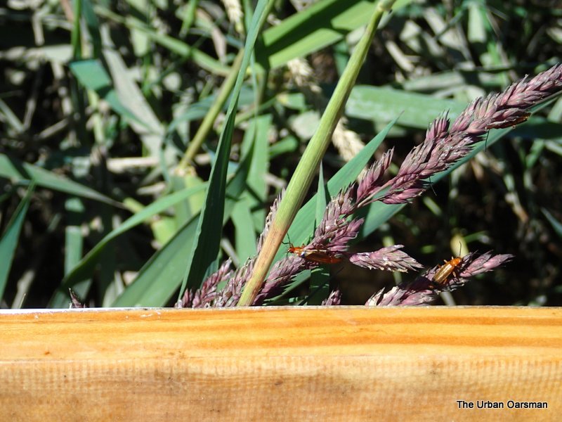 The grasses on the banks were covered with these beetles.
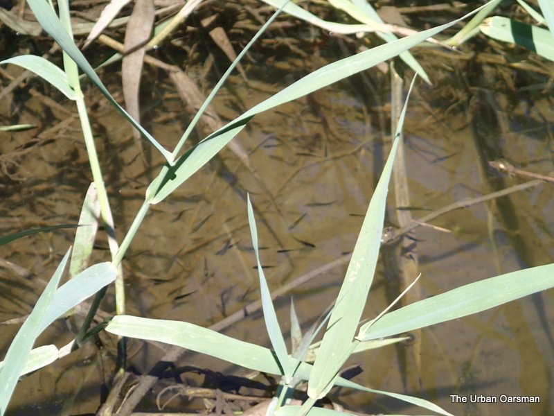 There were lots of small fish along the shore in the shallows.
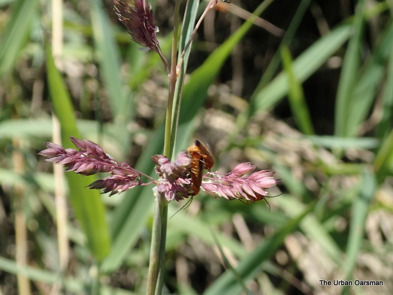 Another beetle picture.
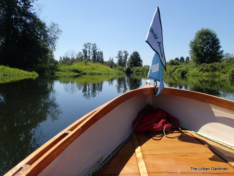 I think that I have made it to Jerry Sulina Park.
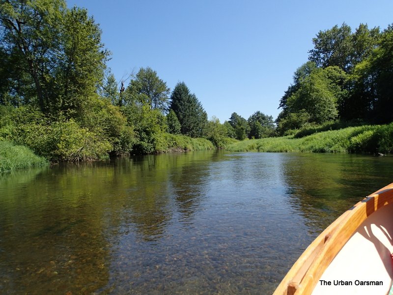 This is as far as I can go…The Alouette is too shallow and fast for me to go further upstream. The river water is very clear here.
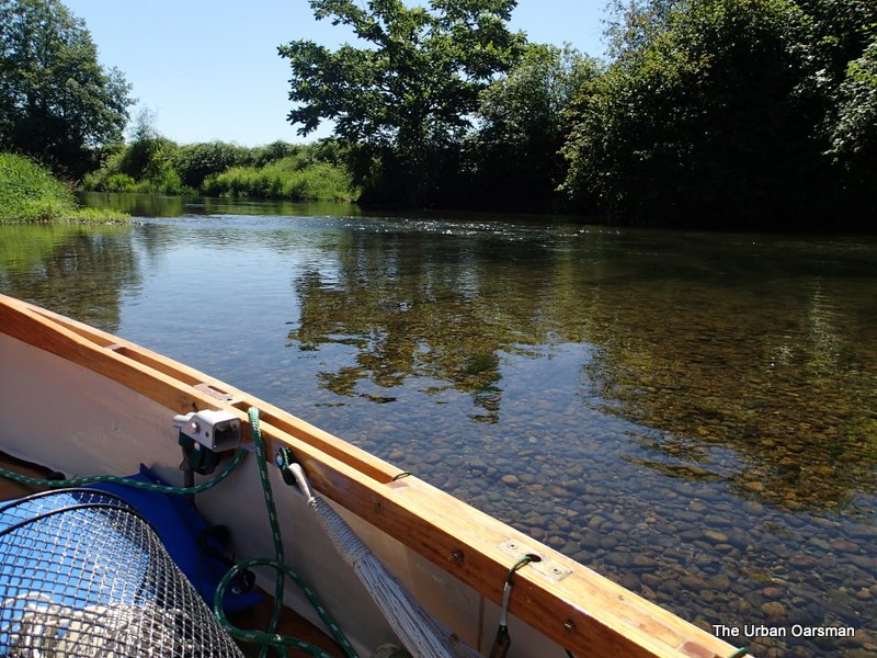 Gwragedd Annwn grounded out on a gravel shoal.
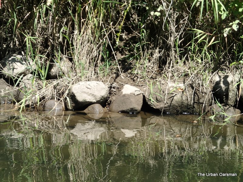 The rocks along the river bank show that the water was deeper earlier in the day. I will need a high tide to be able to row further upriver. I wonder how much further along another foot of water would get Gwragedd Annwn.
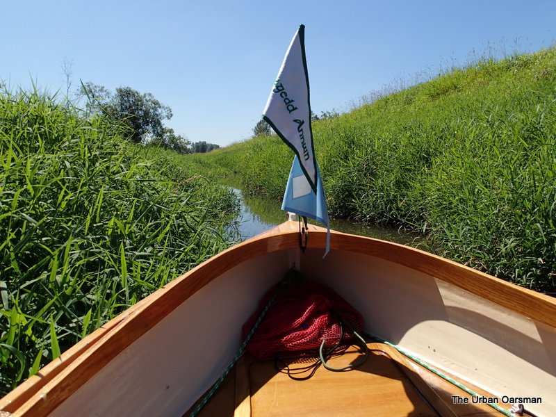 I try exploring a side channel. It is so narrow, I pole Gwragedd Annwn along. The Trans-Canada trail is on the bank to starboard.
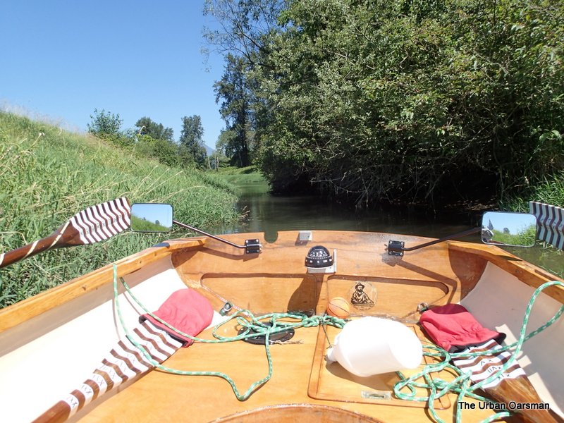 Looking back to The Alouette.
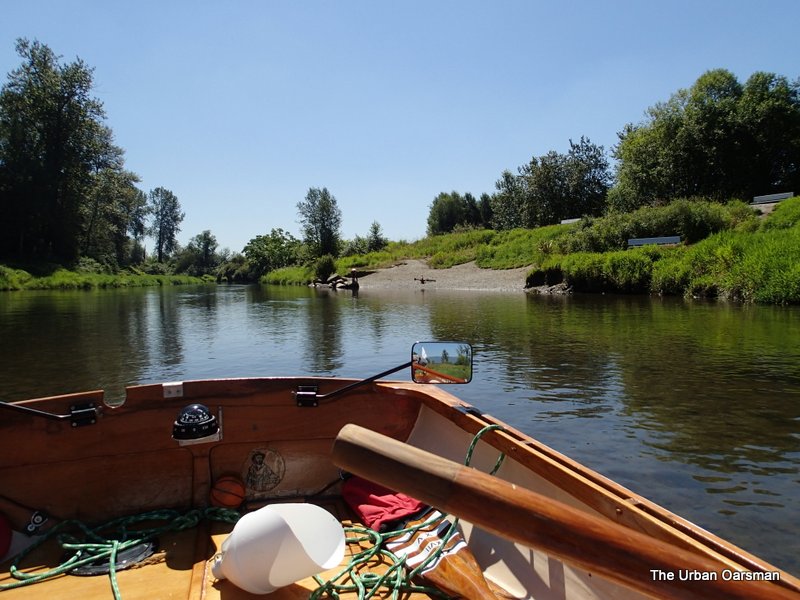 There is a beach with benches at the bend in the Trans-Canada trail.
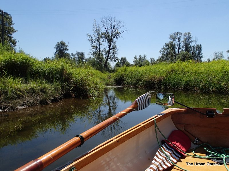 Exploring some of the side channels.
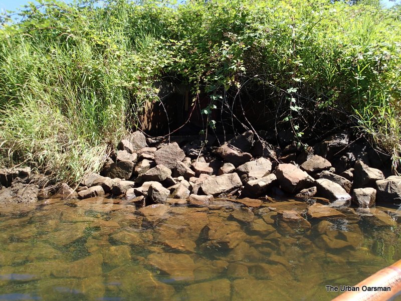 Outfall from a pump. There are many inter-connected waterways in the area, but one would have to portage over the dike to get to them. I believe that this one could lead you to the North Alouette River.
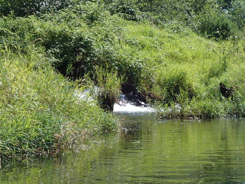 The pump in action.
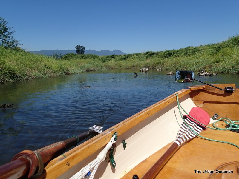 A little bay full of stumps.
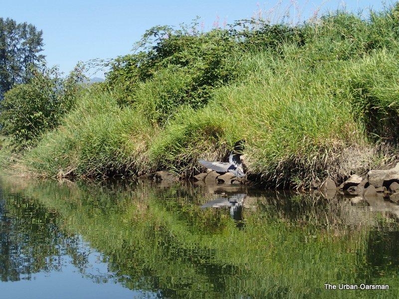 This Blue Heron landed as I was passing and began to fish.
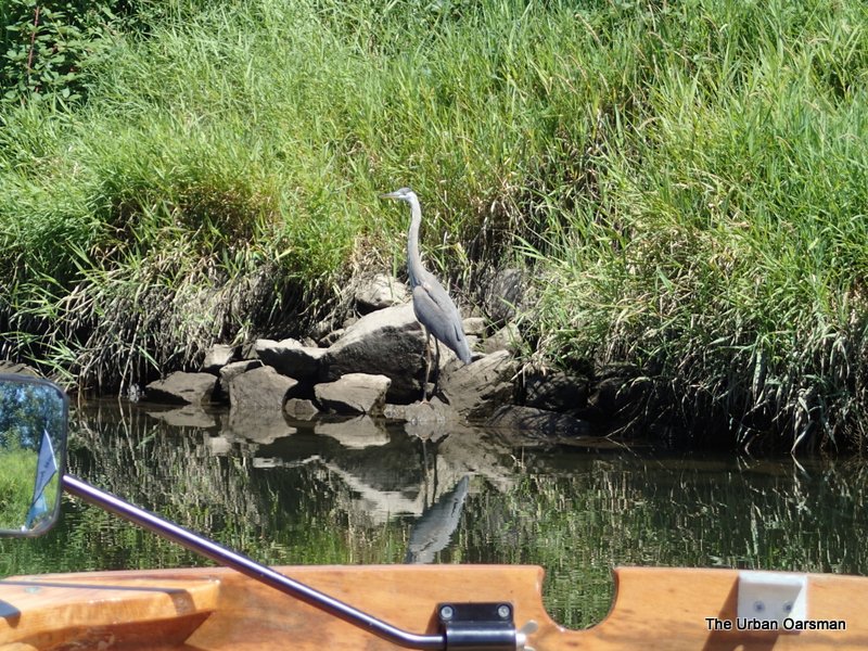 Heron in action. I got quite close.
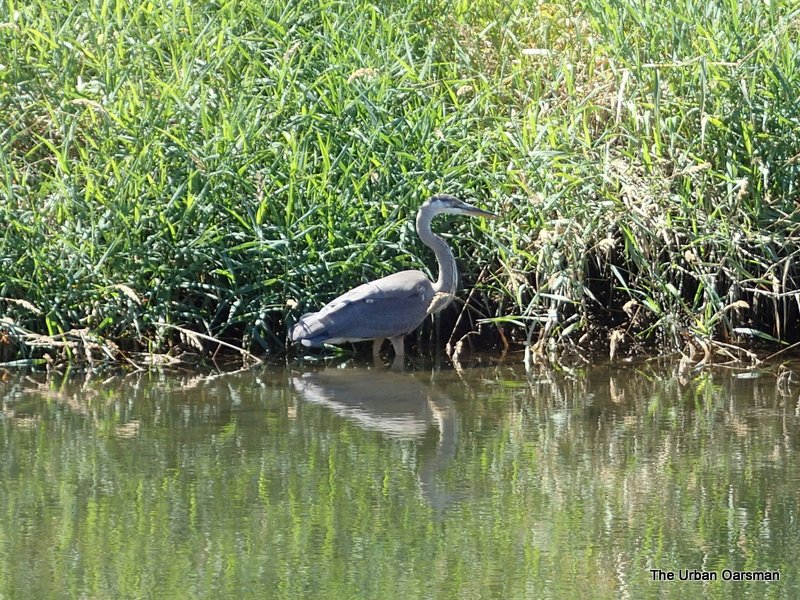 After I got this picture, I thought that I should leave the bird alone.
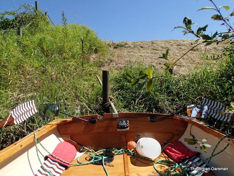 This is as far as the mower got. This is actually a fence across the dike.
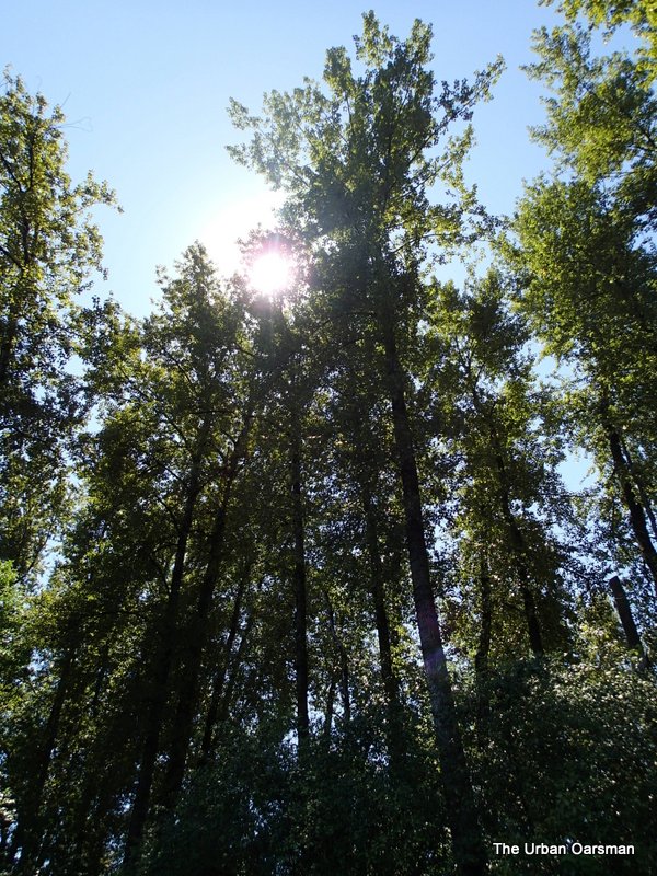
Tall trees downstream of Neaves Road Bridge.
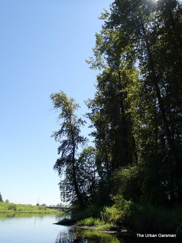 The Neaves Road Bridge in the background.
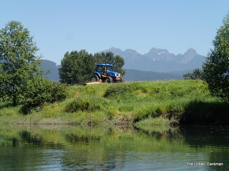 The mower working the other side of the gate.
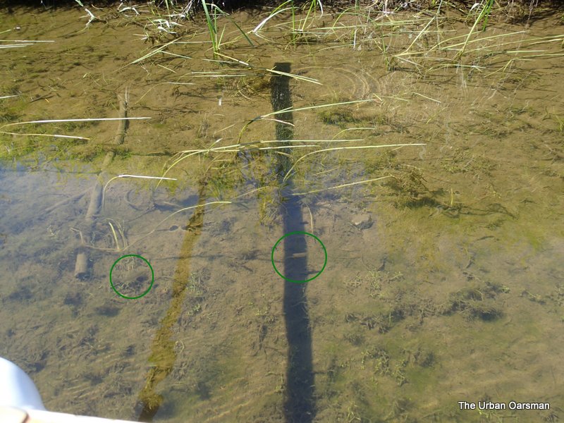 Some of the bigger minnows. These were in a side channel I explored. There were thousands that swam past me as I rowed in and then passed me going back in as I rowed out.
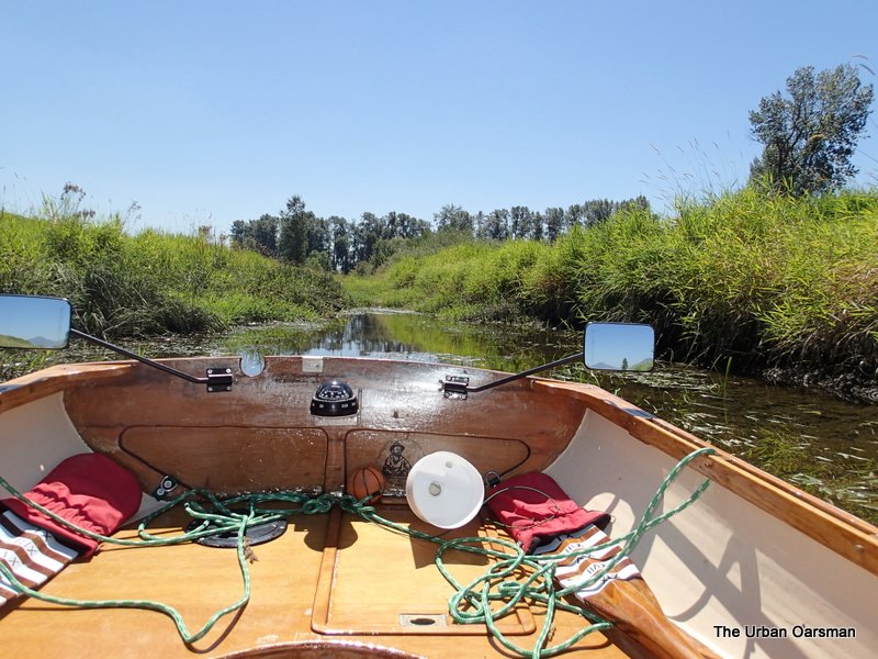 The minnow-full channel.
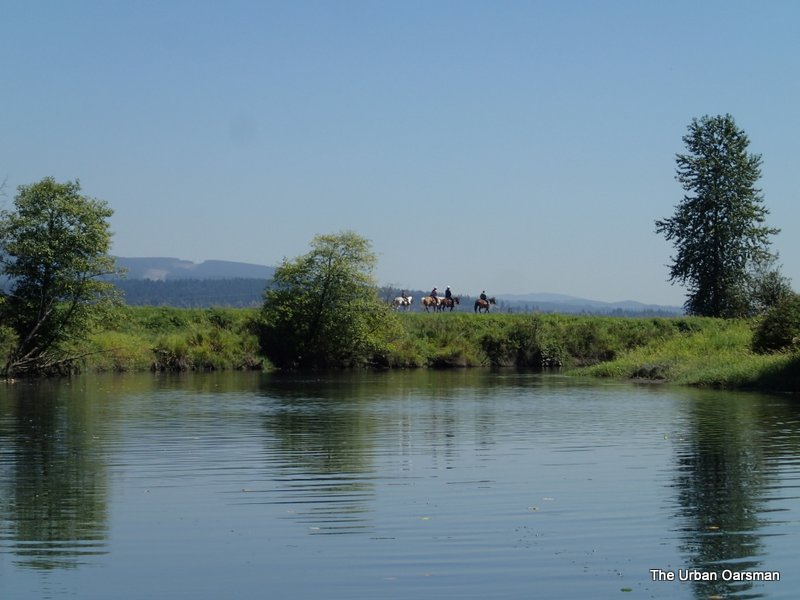 There is a horse trail on the North bank.
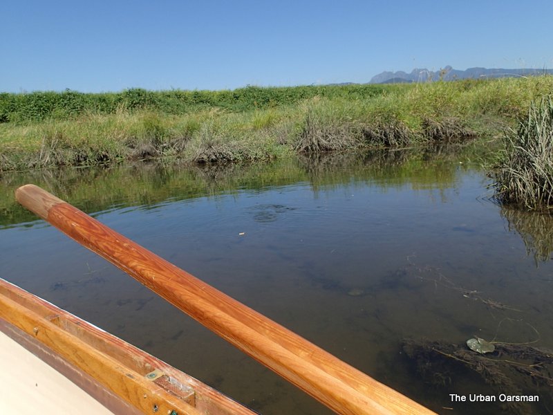 The ripples are caused by even bigger minnows. I estimated these to be between 4″ to 6″ long.
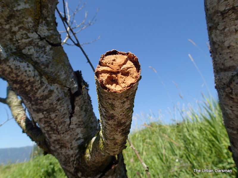 Dead Tree Branch snapped off. I was trying to get an “Artsy” picture of the wood grain.
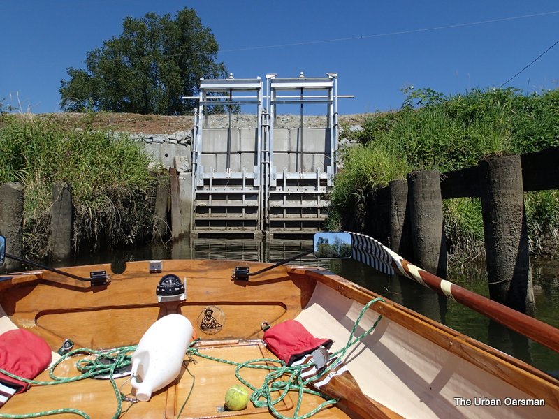 The pump station at the confluence of the Alouette and the North Alouette.
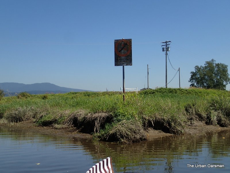 The No Power Driven Vessels sign at the confluence. I believe that the white gate-like looking thing in the background is the actual gauge.
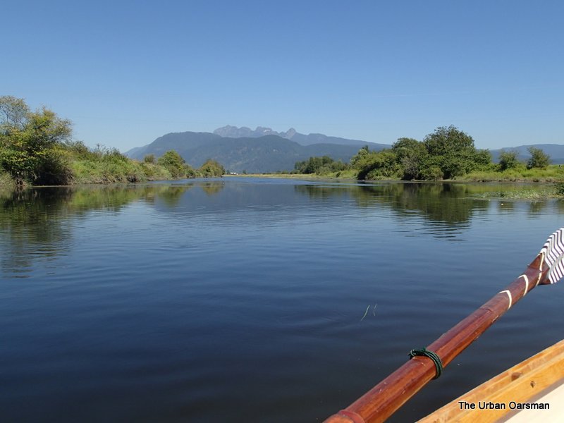 Looking up the North Alouette. A Row for another day.
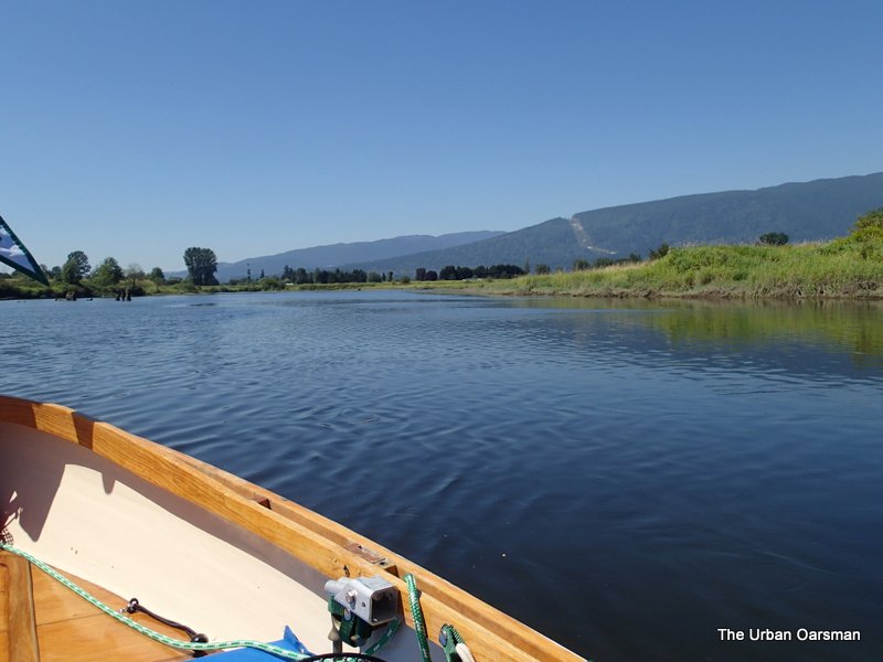 Looking down the Alouette.
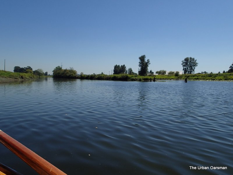 Looking up The Alouette.
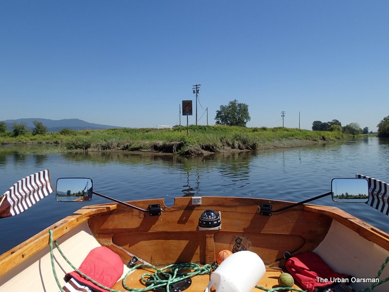 Leaving the confluence behind, I row down river.
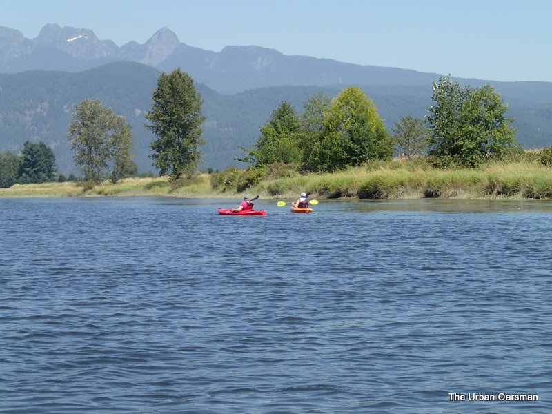 A pair of kayakers paddle up the North Alouette.
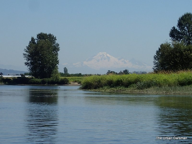 Mount Baker in the background to the East.
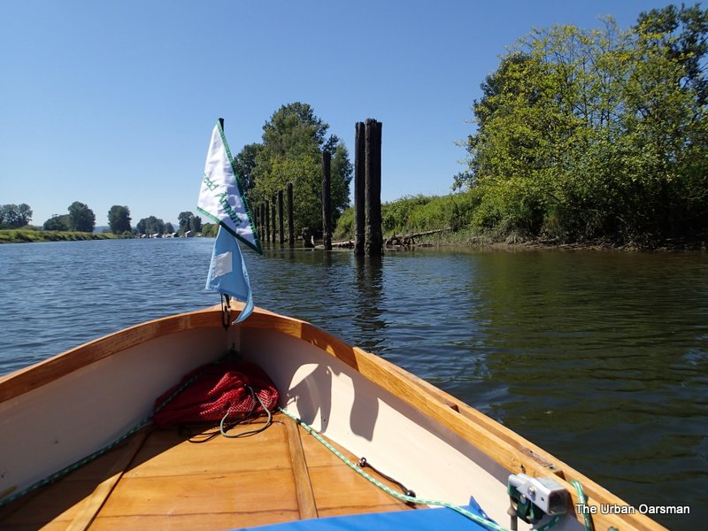 A row of nice-looking pilings on the North Bank, opposite of the Pitt Meadows Paddling Club, downstream of the Harris Road Bridge.
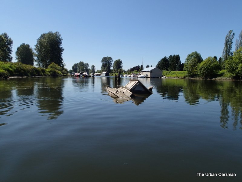 Sunken boat on the South shore.
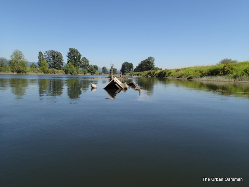
Harris Road Bridge in the background.
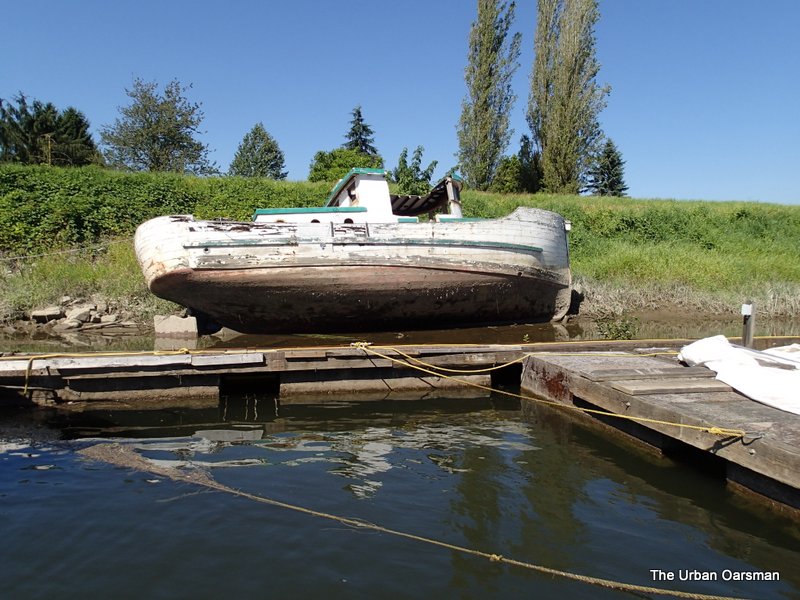 At least this boat is on the side of the dike.
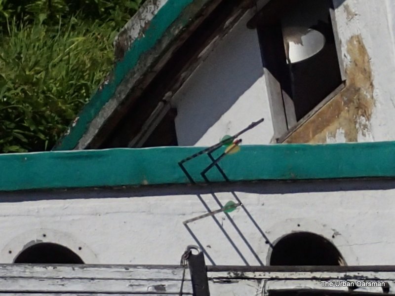 I do not think that arrows wrecked her.
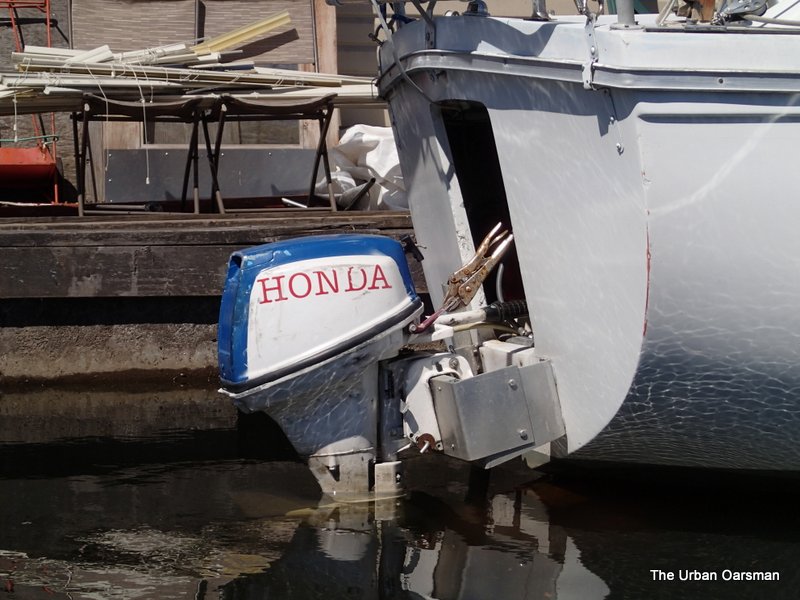 Vise-Grips are the next best thing to Duct Tape and bailing wire.
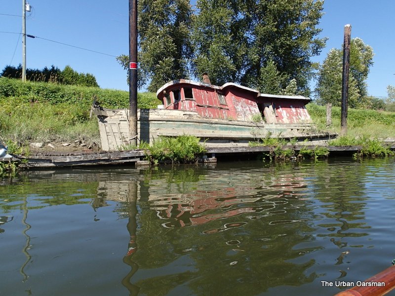 Passing by Old Red, almost at the Marina.
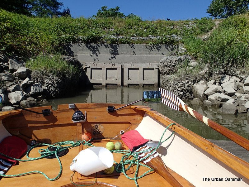 The drainage structure on the North bank near where The Alouette enters the Pitt River.
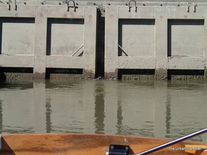 That is water coming out from between the doors. Do they open more when the tide drops?
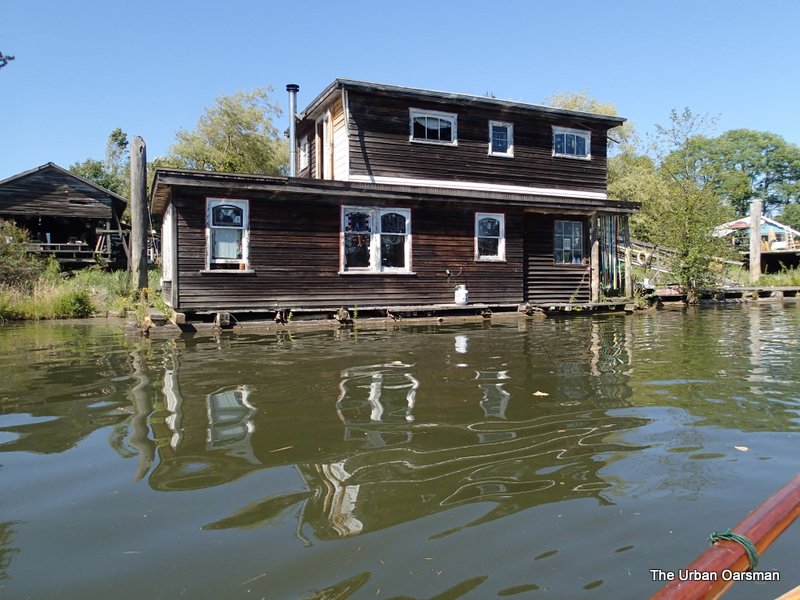 The Stained Glass floathouse.
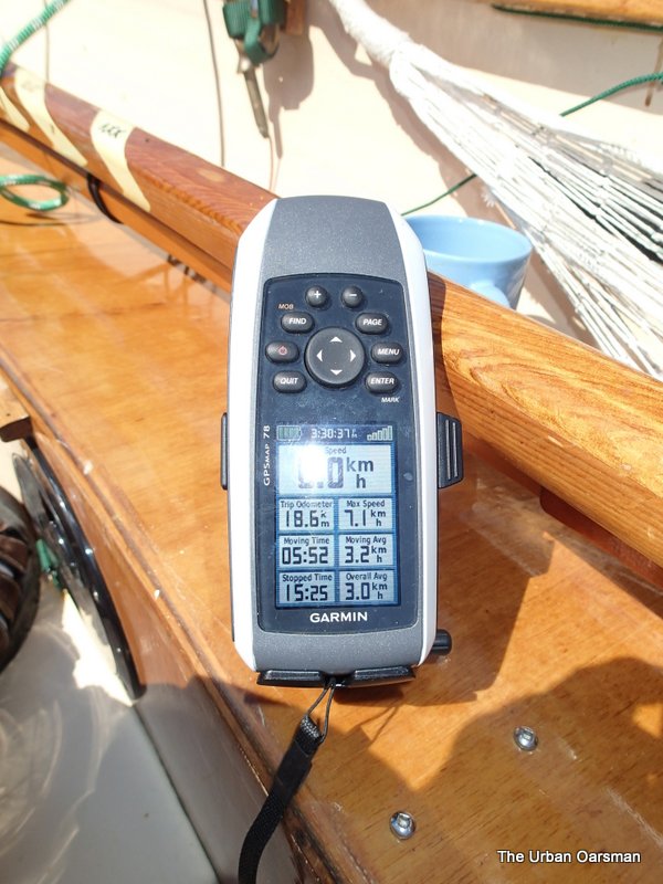
The record of the trip. 18.6 kilometers, 7.1km/hr maximum speed, 5 hours 52 minutes rowing time, 15.25 minutes stopped time. Moving average speed, 3.2km/hr, Overall average speed 3.0km/hr. Six hours at the thwart!
River Level chart for the Row:
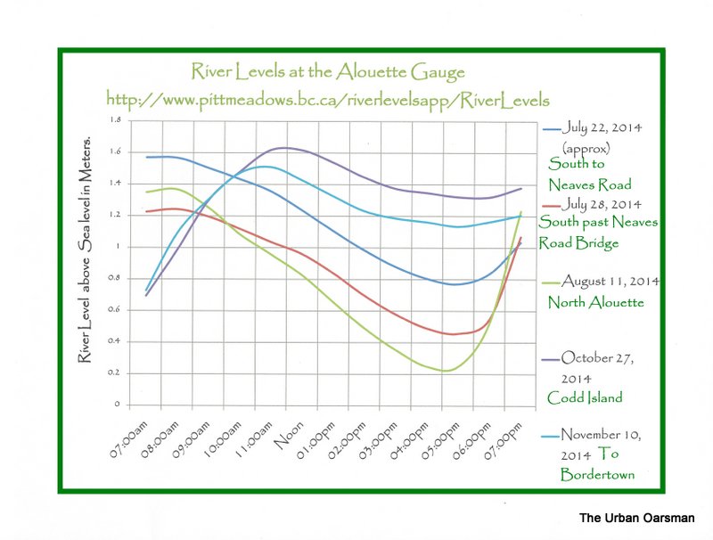
Alouette River Levels at the gauge.
The next Row, I will Explore North Alouette River.
Good Rowing.
Mike


 Gwragedd Annwn leaving the Pitt Meadows marina float.
 The electric Davidson Chugger, “Watts Up”.
 One of the snags I avoided. The ripples trailing from the log show the current going downstream. The tide is falling and will drop throughout the Row. The green whipping on my oar is to hold the oar at the correct place in the sculling notch in Gwragedd Annwn’s transom.
 The GPS reading of the speed of the current I am rowing against. 0.8 km/hr.
 Passing under the Harris Road bridge.
 The path to the river from the parking lot at Harris Road and the Alouette. You can launch your hand-carried or cartop boat from here and avoid the $17.00 fee at the Marina.
 There is not much current near the shore.
 Indian Pond Water Lilies.
 There is an indent on the North bank. Just past it the Alouette turns almost 90° to the North East.
 I know that it is hare to see, but, there is a Blue Heron in the grass at the centre of this picture.
 This canoe is from the Pitt Meadows Paddling Club.
  The South shore is covered with Indian Pond Water lilies.
  I did not run into the snag with the ducks.
 Probably Pink Fleabane.
 Looks as if they are still working at Cranberry Slough.
 The water is a little higher than the July 22nd Row.
 Thankfully there was no foot in this shoe.
 The Neaves Road Bridge.
 Downstream view at the bridge. Looking WNW.
 The GPS shows the end of the chart, (#3062, Pitt River and/et Pitt Lake).
 Reflection pattern on the underside of the Neaves Road Bridge. I row under the bridge. The shadow is Gwragedd Annwn’s bow.
 Gwragedd Annwn’s stern and bow wave shadows.
  Past the bridge there are several islands in the river. I choose the starboard channel.
  This tree looks a lot healthier than the one downstream on “Dead Tree Island”. If you go to Google Earth, you can see this tree and a log blocking the channel. The log is gone.
 The grasses on the banks were covered with these beetles.
 There were lots of small fish along the shore in the shallows.
 Another beetle picture.
 I think that I have made it to Jerry Sulina Park.
 This is as far as I can go…The Alouette is too shallow and fast for me to go further upstream. The river water is very clear here.
 Gwragedd Annwn grounded out on a gravel shoal.
 The rocks along the river bank show that the water was deeper earlier in the day. I will need a high tide to be able to row further upriver. I wonder how much further along another foot of water would get Gwragedd Annwn.
 I try exploring a side channel. It is so narrow, I pole Gwragedd Annwn along. The Trans-Canada trail is on the bank to starboard.
 Looking back to The Alouette.
 There is a beach with benches at the bend in the Trans-Canada trail.
 Exploring some of the side channels.
  Outfall from a pump. There are many inter-connected waterways in the area, but one would have to portage over the dike to get to them. I believe that this one could lead you to the North Alouette River.
 The pump in action.
 A little bay full of stumps.
 This Blue Heron landed as I was passing and began to fish.
 Heron in action. I got quite close.
 After I got this picture, I thought that I should leave the bird alone.
 This is as far as the mower got. This is actually a fence across the dike.
 The Neaves Road Bridge in the background.
 The mower working the other side of the gate.
 Some of the bigger minnows. These were in a side channel I explored. There were thousands that swam past me as I rowed in and then passed me going back in as I rowed out.
 The minnow-full channel.
 There is a horse trail on the North bank.
 The ripples are caused by even bigger minnows. I estimated these to be between 4″ to 6″ long.
 Dead Tree Branch snapped off. I was trying to get an “Artsy” picture of the wood grain.
 The pump station at the confluence of the Alouette and the North Alouette.
 The No Power Driven Vessels sign at the confluence. I believe that the white gate-like looking thing in the background is the actual gauge.
 Looking up the North Alouette. A Row for another day.
 Looking down the Alouette.
 Looking up The Alouette.
 Leaving the confluence behind, I row down river.
 A pair of kayakers paddle up the North Alouette.
 Mount Baker in the background to the East.
 A row of nice-looking pilings on the North Bank, opposite of the Pitt Meadows Paddling Club, downstream of the Harris Road Bridge.
  Sunken boat on the South shore.
 At least this boat is on the side of the dike.
 I do not think that arrows wrecked her.
 Vise-Grips are the next best thing to Duct Tape and bailing wire.
  Passing by Old Red, almost at the Marina.
 The drainage structure on the North bank near where The Alouette enters the Pitt River.
  That is water coming out from between the doors. Do they open more when the tide drops?
 The Stained Glass floathouse.


